Galwey North IV
April 14, 2024
Mountain height: 2384 m
Elevation gain: approximately
1000 m
Ascent time: 5:35
Descent time: 3:50
Solo scramble.
After three
straight days in the mountains a rest day was welcome – that was before the Sun
rose to reveal the clearest skies of the four-day stretch. No way was I going
to sit in the house looking at those beautiful snow-plastered peaks, drenched in Sunshine
all day!
Of course, lots
of indecision followed, but I settled on another run at Galwey North. For this
trip the plan would be to stay in Coppermine Creek for as long as possible and
see where that led me. On a previous trip I had been lured by the ridge above,
leaving the creek long before its termination.
In short, this
was another route that I’m glad I checked out but would likely never repeat.
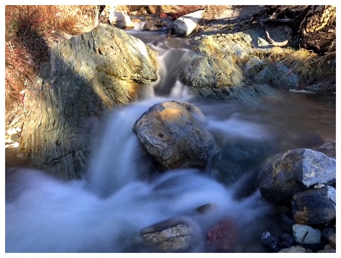
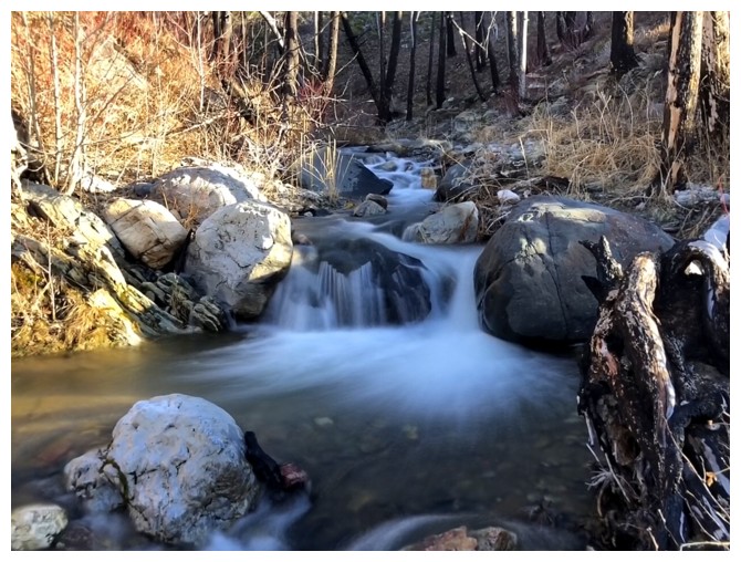
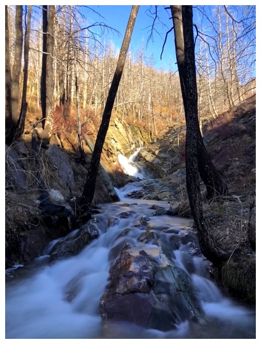
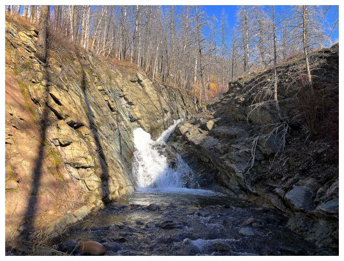
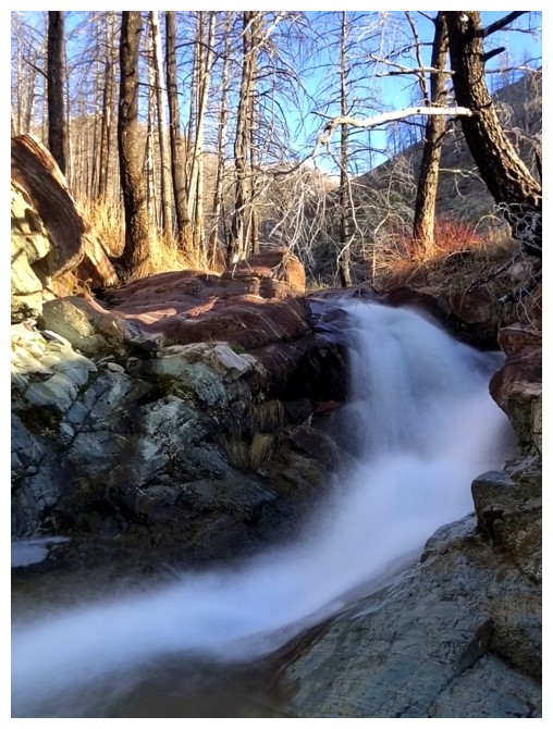
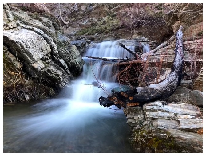
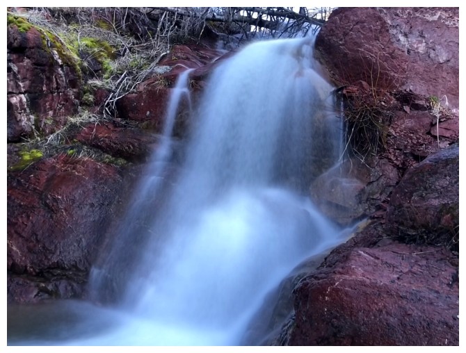
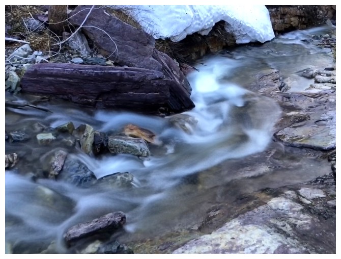
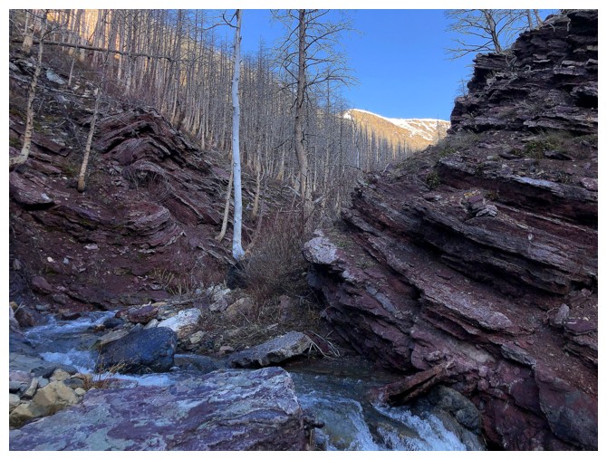
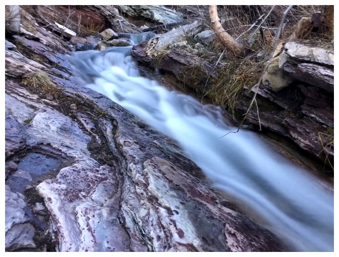
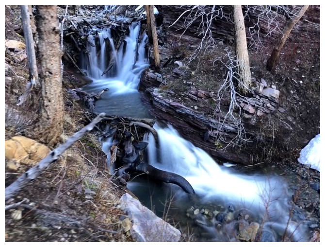
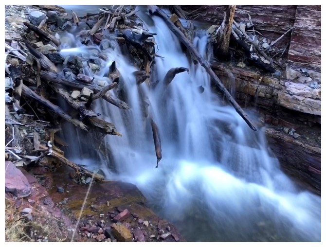
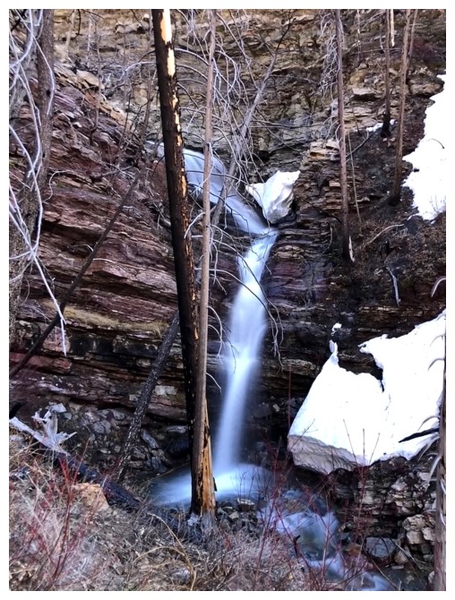
The first part of Coppermine Creek was expectedly spectacular, featuring
numerous small waterfalls and cascades. A less than exciting section followed, and
then an entertaining snow gully, some of it full of avalanche debris.
However, several
hours after starting out I was still way below the ridge, looking up at complex
terrain that may have had a scramble route through or may have been impassable.
I decided to traverse over to the ridge, a process that turned out to be much longer
than expected, requiring a few elevation losses. By the time I reached the
ridge, I was exhausted, not only from the ups and downs of the route but also from
significant Sun exposure in the snow gully. I considered calling it a day, as I
really wanted to return via the ridge and take my time doing it. Once again,
though, the stellar weather and wonderful scenery were too big of a carrot to
resist. After a short break I continued up.
The remainder
of the ascent did NOT unfold with ease. The remaining snow added significant challenge
to route-finding and staying off potential avalanche slopes. Nevertheless, I “later
than sooner” reached the ridge (greeted for the second day in a row by a set of
tracks of a large bear) and then clambered up the short but ridiculously steep east
side of the summit block to the top (the west side is super easy!). A fine
view awaited there.
The descent was
awesome. Once below the steep and difficult terrain, a wonderful ridgewalk ensued.
Although the cornice scenery was not as jaw-dropping as that seen in 2021, my
progress slowed considerably to take it all in. Soon the amazing snow stuff
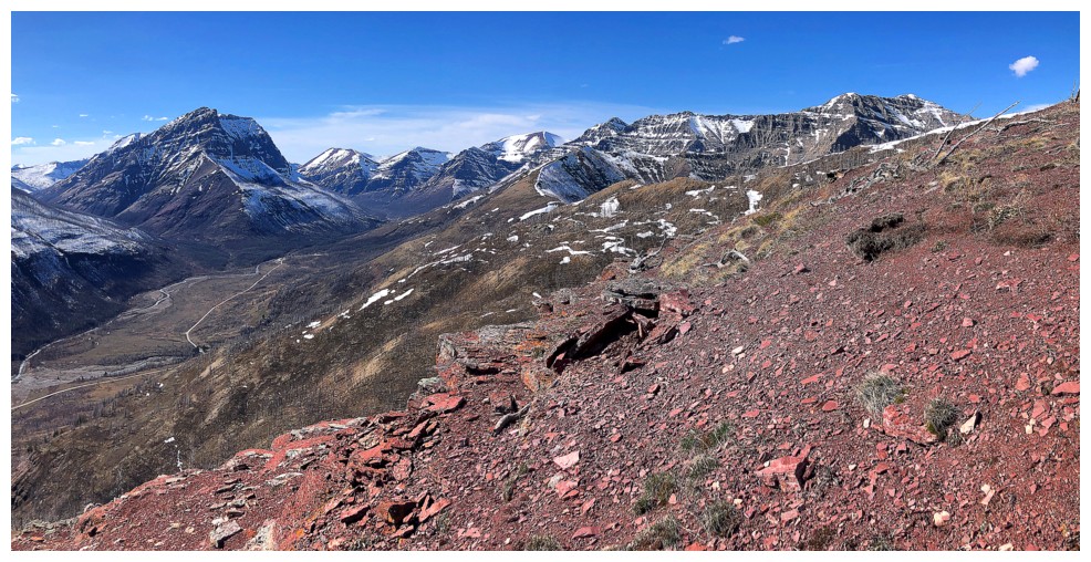
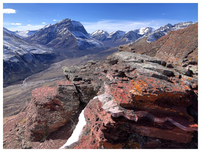
gives way to equally amazing rock stuff! This ridge has cemented itself as one
of my favourite in the Rockies, due to the wild variety of rock colours and types.
Leaving the
ridge I then followed another beautiful stream back to Coppermine Creek and the
trailhead. Biking Red Rock Canyon to end the trip was most satisfying.
Even with the
ascent route not quite working out, an awesome day of breath-taking scenery and
views.
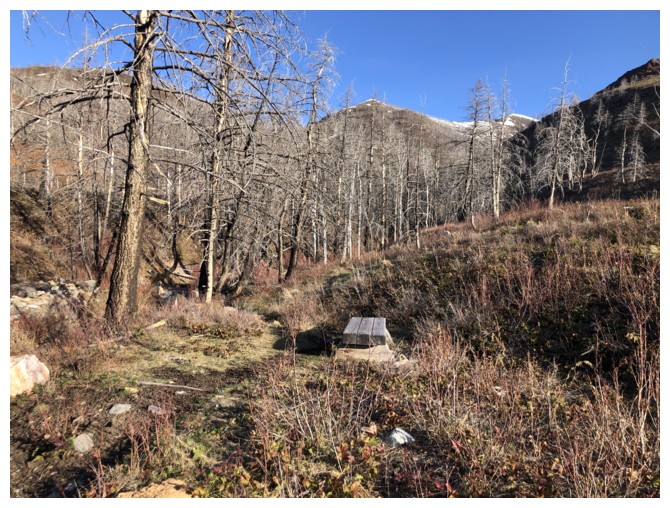
At the start of Coppermine Creek
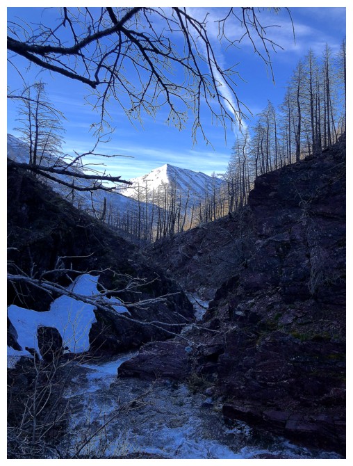
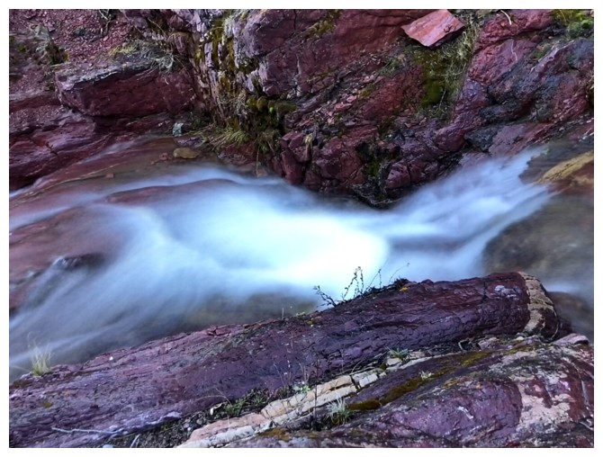
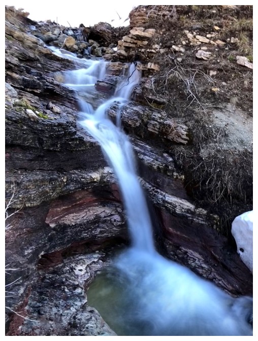
The trip quickly evolves (or devolves!) into a frenzy of long exposure photos
Looking back to the north side of Mount Crandell

The ridge high above is getting the first rays of Sun
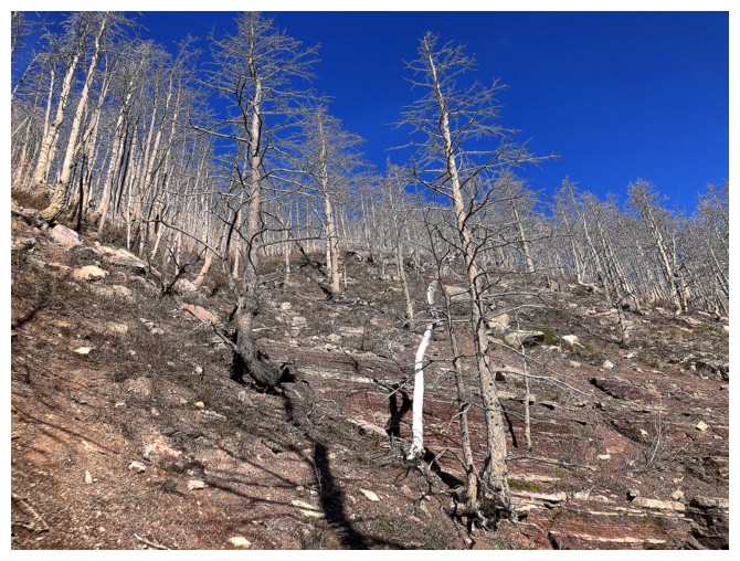
One of many tempting gullies that gives access to the ridge
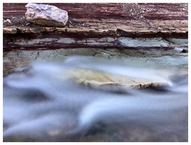
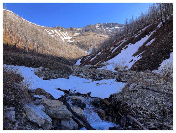
Emerging from the confines of the canyon to more open terrain
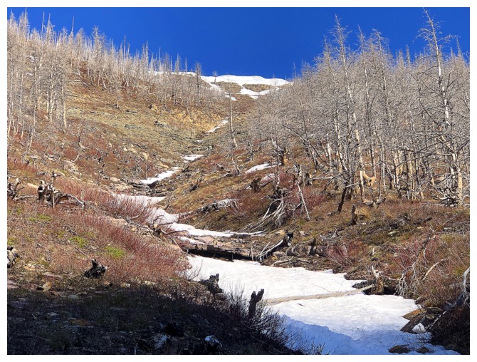
Another of those tempting gullies
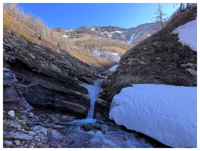
Not the end of the waterfall scenery yet
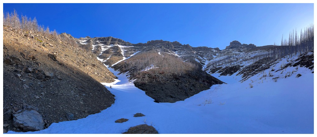
The creek forks - I took the right fork
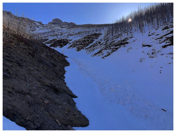
Easy travel up the hardened snow
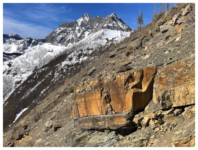
First good view of Mount Blakiston
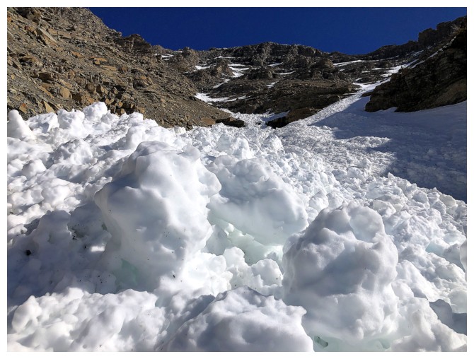
Avalanche debris
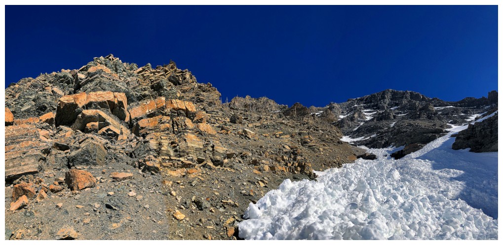
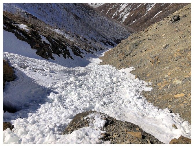
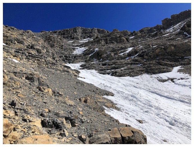
The route ahead looks convoluted so I veered hard left at the top of the snow gully
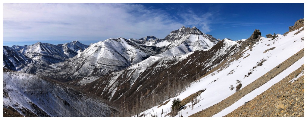
Views continue to open up
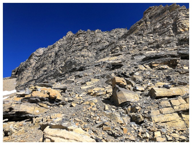
Going left
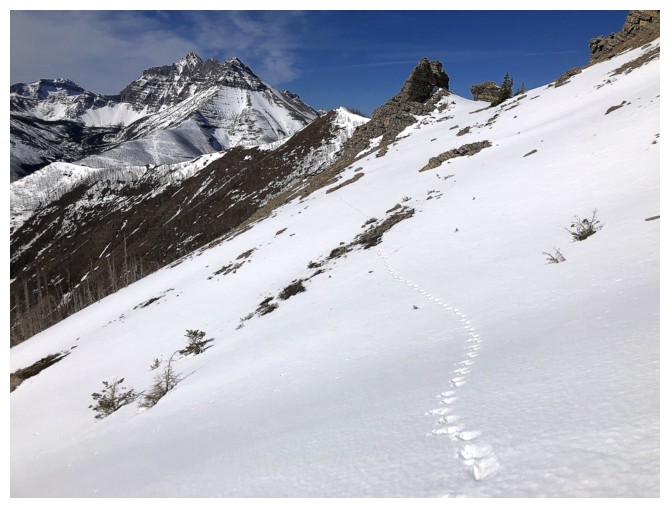
Someone else has gone left. Thankfully the beast had hoofs, not claws!
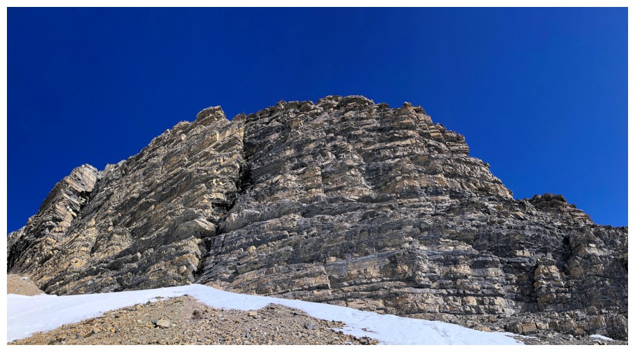
Lots of amazing rock to distract me from the fact that I'm going across and down instead of straight up

I optimistically thought this to be the ridge I was aiming for
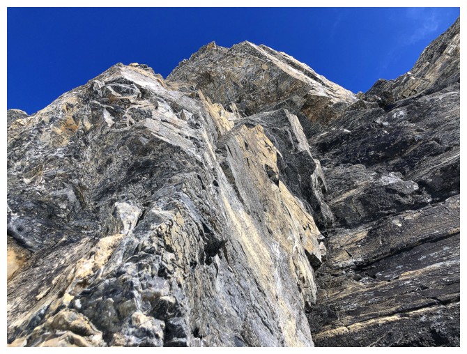
More sweet rock
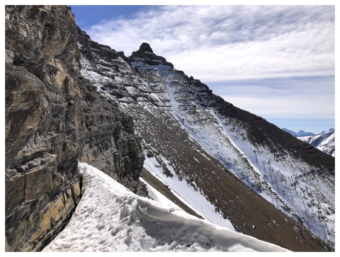
There's Mount Galwey
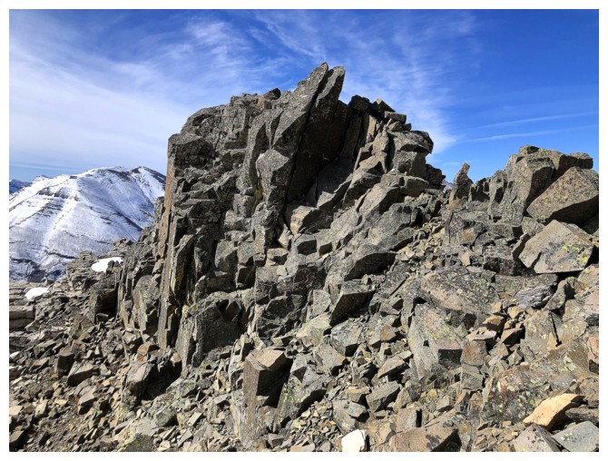
Almost at the ridge

Nooooooo! The snowy ridge I need to get to is still a good side-slope away.
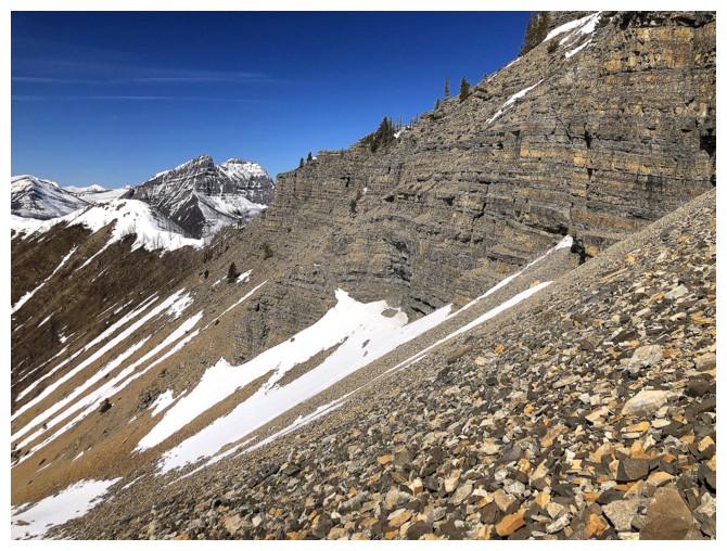
And some elevation must be lost
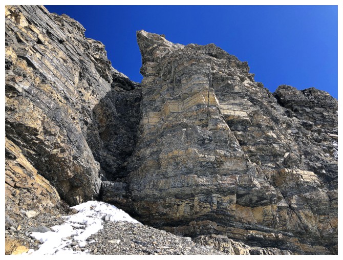
Need more distractions
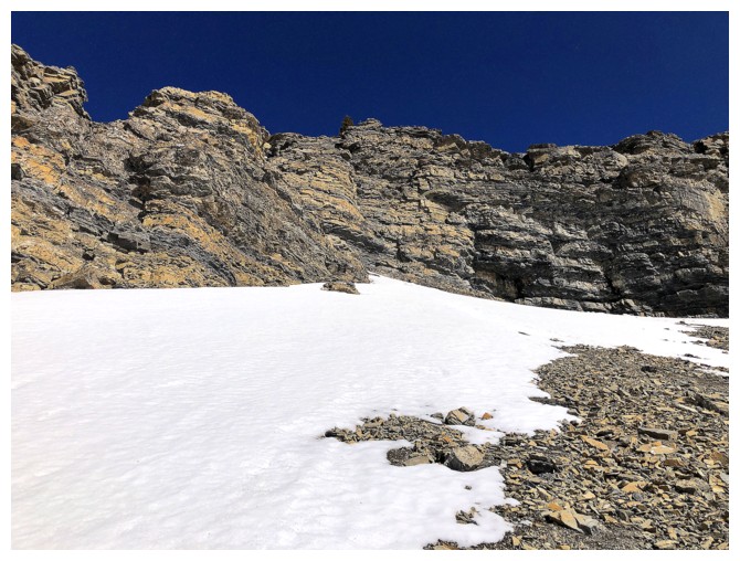
And more
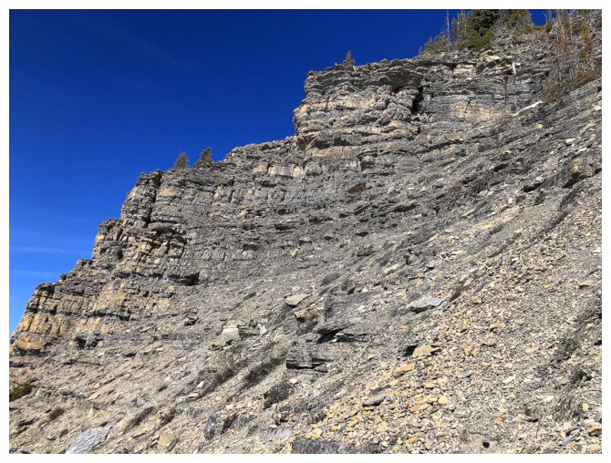
Finally got to turn uphill here
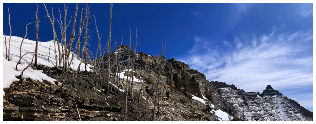
Almost on the ridge
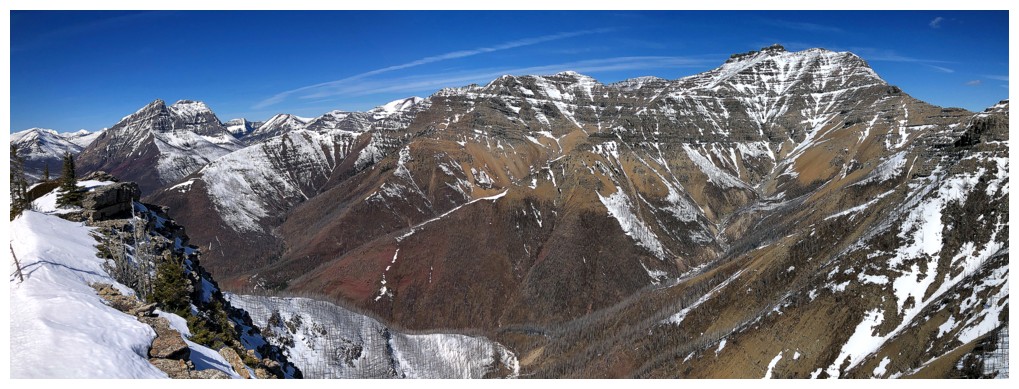
And there, where a good view of everything from Dungarvan to Anderson awaits
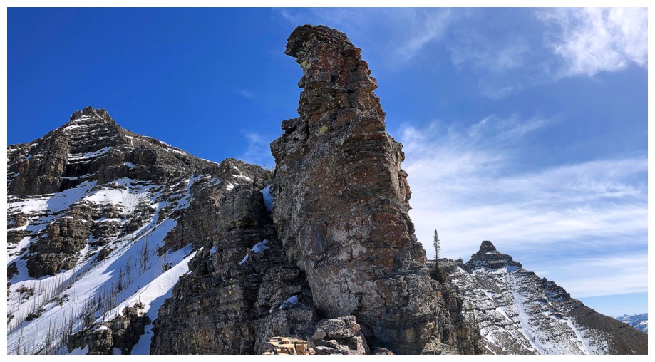
Not getting up that, but there's an easy bypass
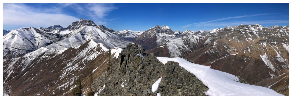
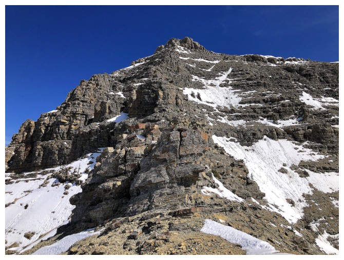
The route ahead. While usually straightforward, the big snow patch at
the lower right made both ascent and descent more challenging. I
avoided the patch via a different route in both directions.
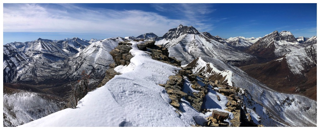
The view to the west is always a rewarding one

Anything with a clear blue sky behind it is rewarding too!
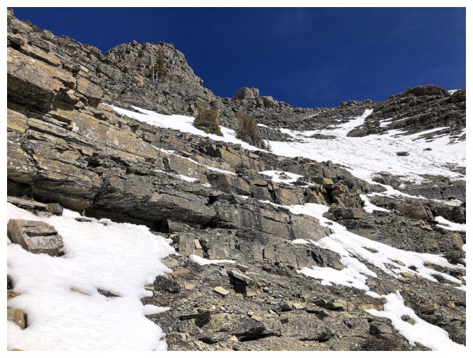
The upper ridge is in visual range
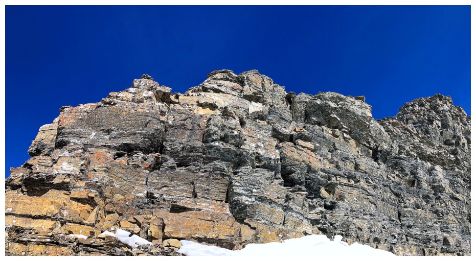
Nice scrambling en route
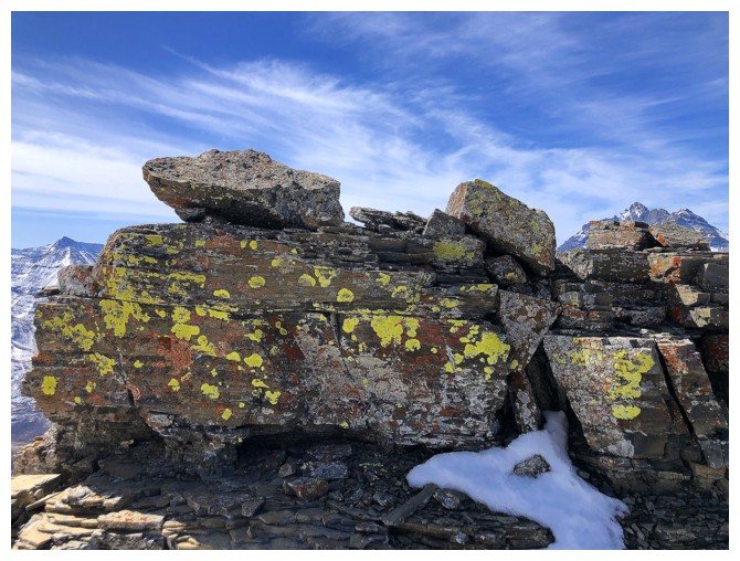
Long overdue encounter with yellow lichen
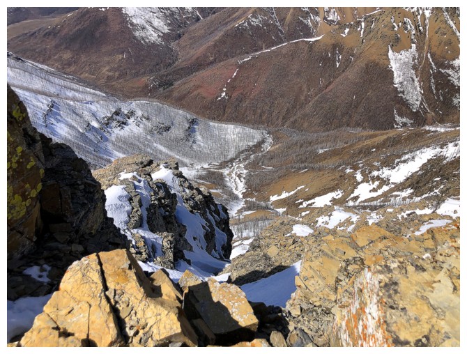
Looking down to Lost Horse Creek
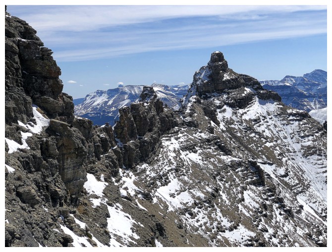
Mount Galwey and some of the ridge that connects Mount Galwey to North Galwey - a wonderful traverse
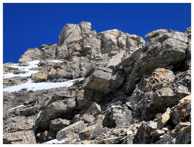
There's the summit block
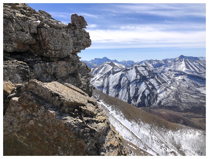
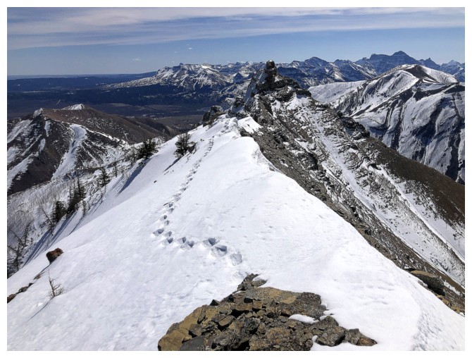
On the ridge, south of the summit, and I have (had) company
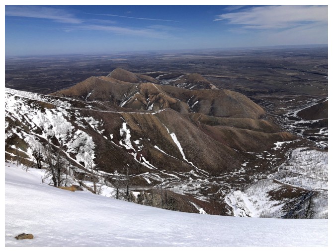
Lakeview Ridge looks so small and insignificant from here but it's an awesome massif with tons of variety: I, III, IV, recon.
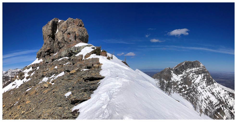
The summit block and Rogan Peak at the right
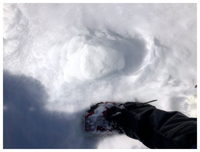
This beast had claws and they appeared to be big ones!
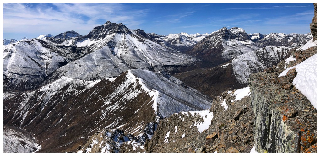
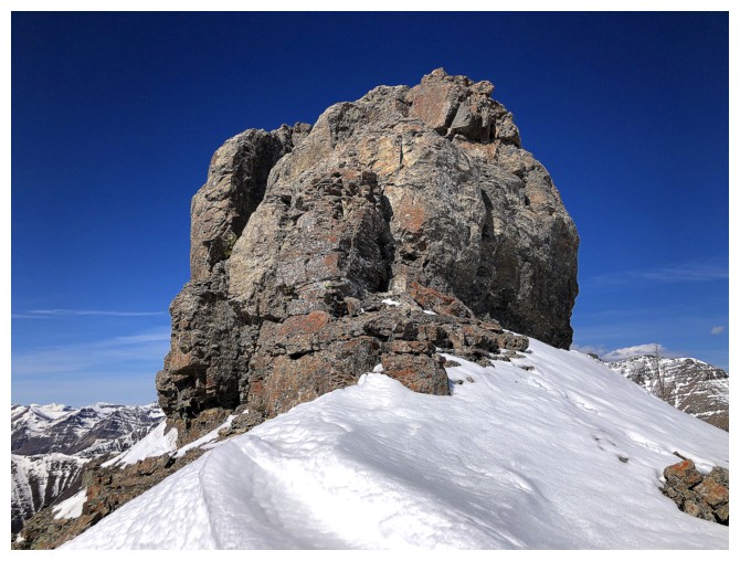
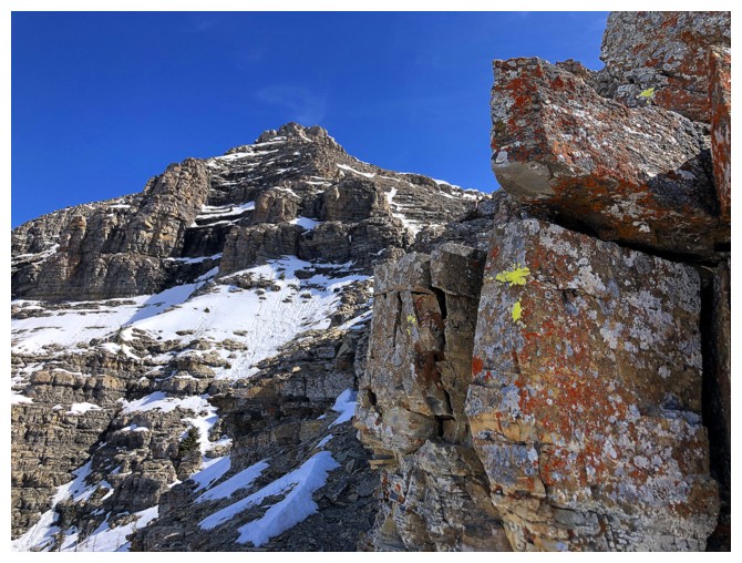
Approaching the summit block. I foolishly followed the bear tracks
around the right side and then took a very steep route to the summit.
There was a super easy one around the left side.
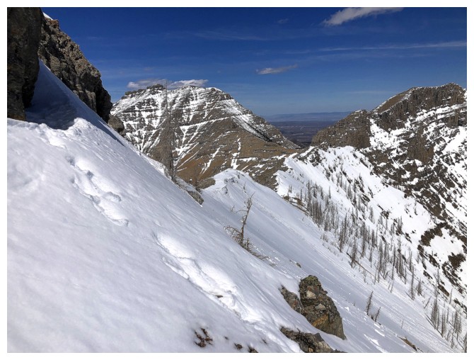
The bear wisely did not go to the summit. His/her tracks went down the mountain here.
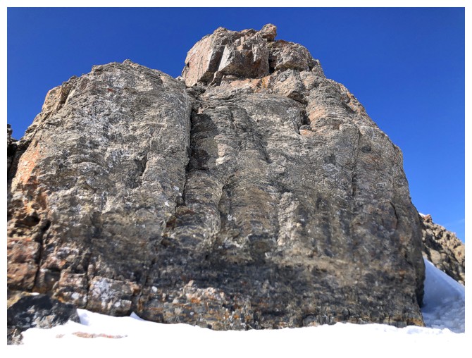
My route went up the snow slope, just visible at the right
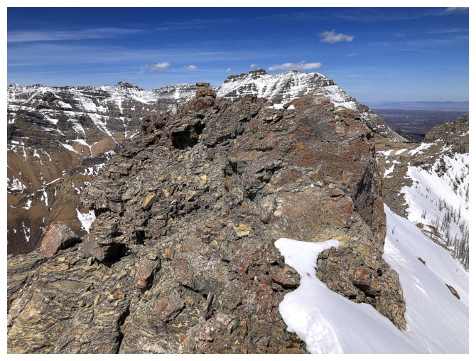
Atop the summit block, the cairn is only a few steps away
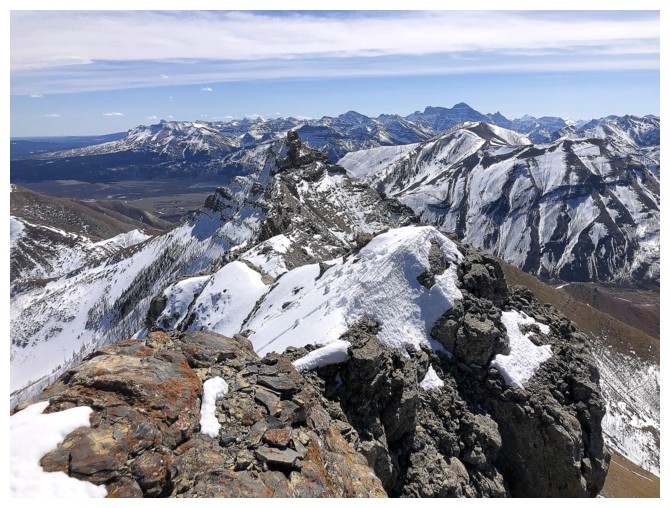
View towards Galwey
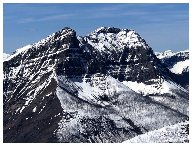
Anderson Peak

View from south to west
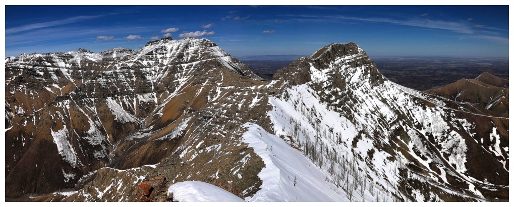
Dungarvan and Rogan - that traverse is another super cool trip I'd like to repeat someday. Or just Galwey North To Rogan.

West to north view
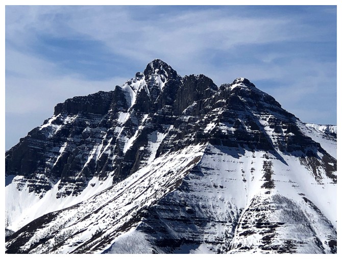
Blakiston
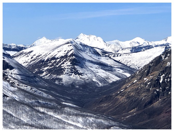
Lone Mountain in front, Miskwasini and Kenow behind
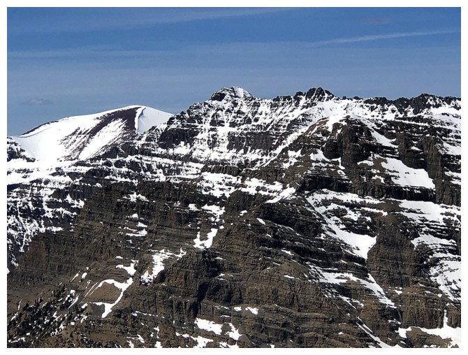
Newman Senior (left) and Glendowan - another terrific traverse
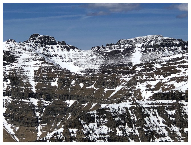
Cloudy Ridge (left) and Cloudy Ridge Junior
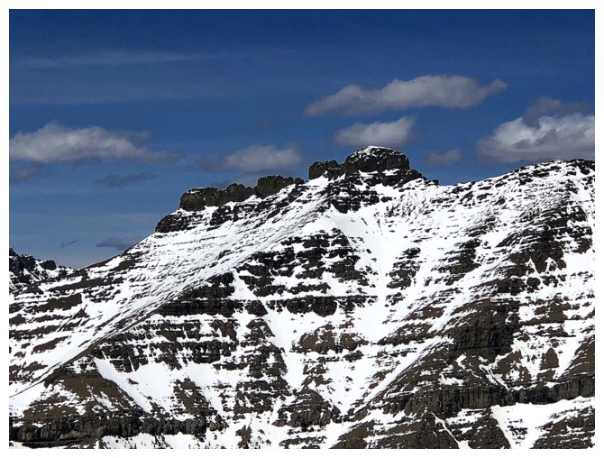
The awesome summit block of Dungarvan
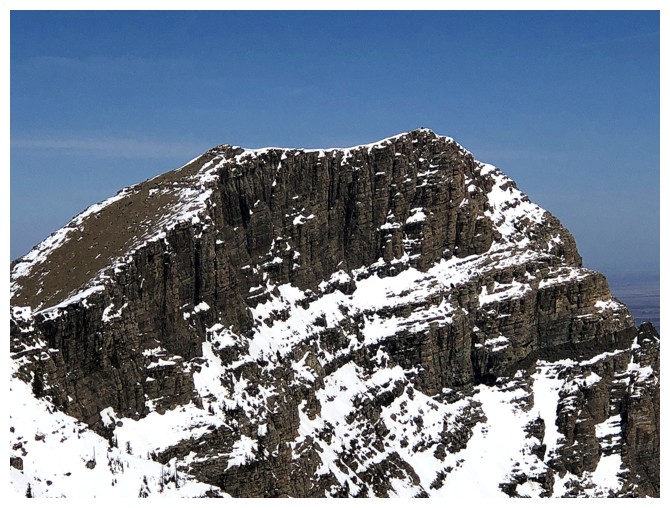
Close-up of Rogan Peak, otherwise known as The Horn or Dungarvan SE2
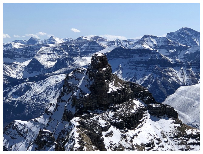
Mount Galwey is lower than Galwey North but only by about 10 metres
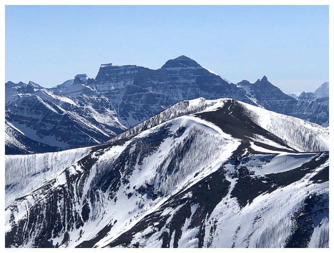
Mount Cleveland
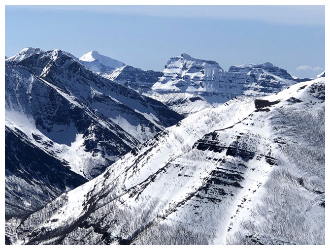
Mount Custer in the distant centre
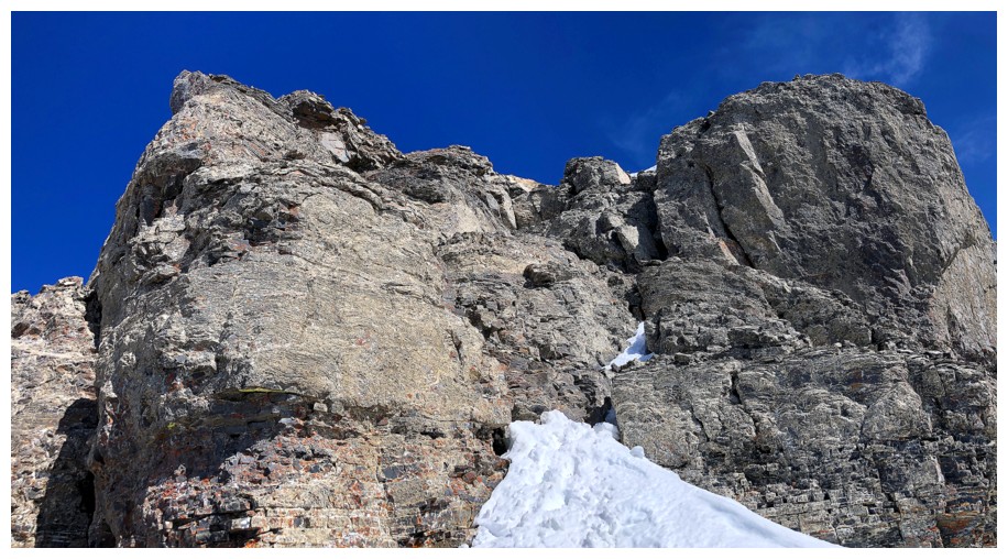
The easy route down the west side of the summit block
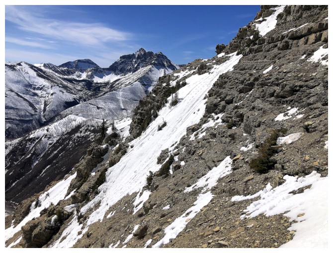
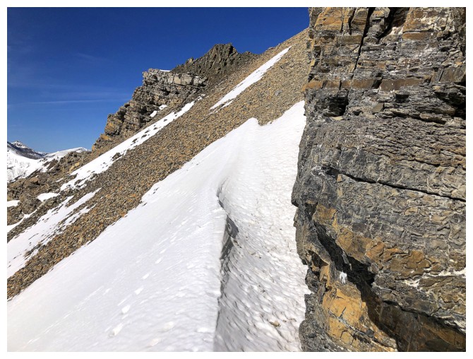
Descending snowless terrain to get past the steep snow patch in front.
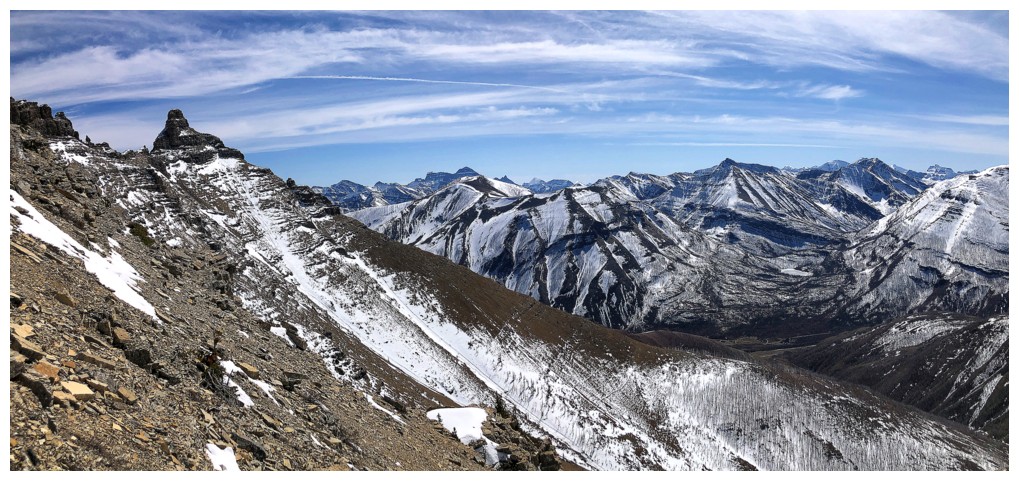
Southeast
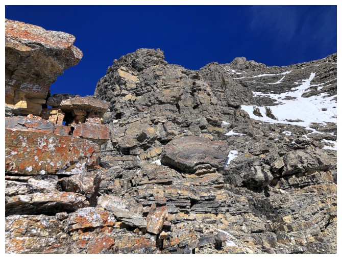
Back on the ridge looking up it
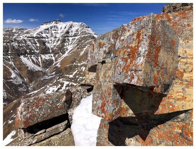
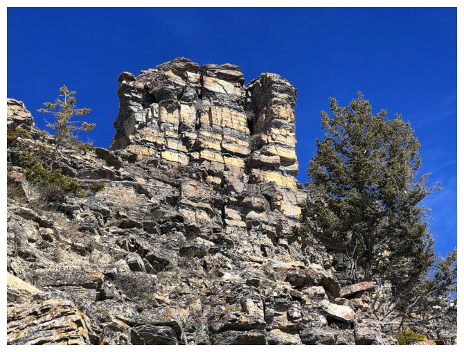
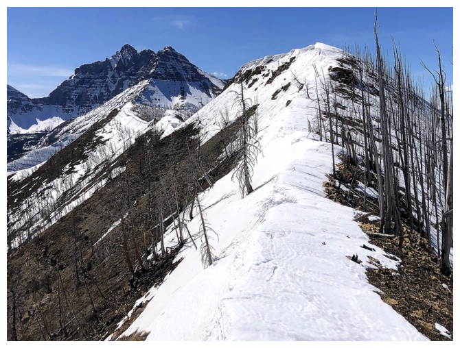
Excited to return by staying on the ridge throughout
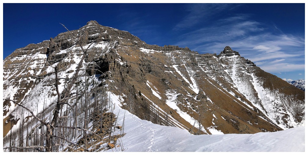
The view back to Galwey North and Mount Galwey is going to be fantastic
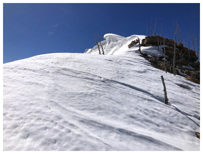
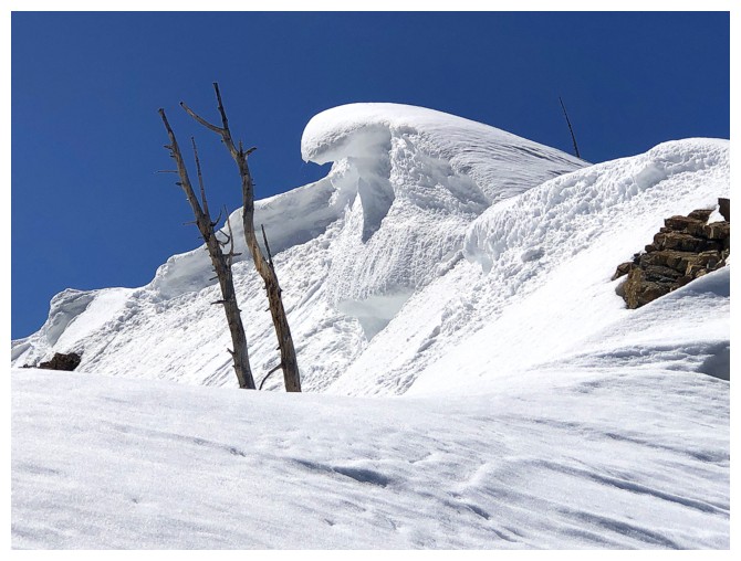
The cornices I came to see
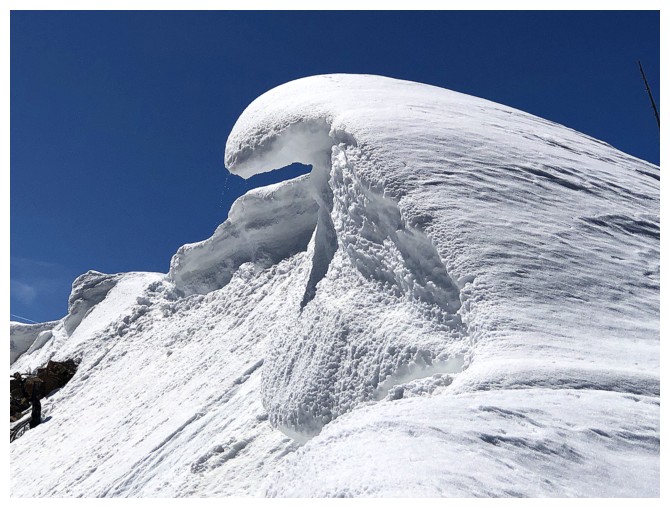
That's a cool one
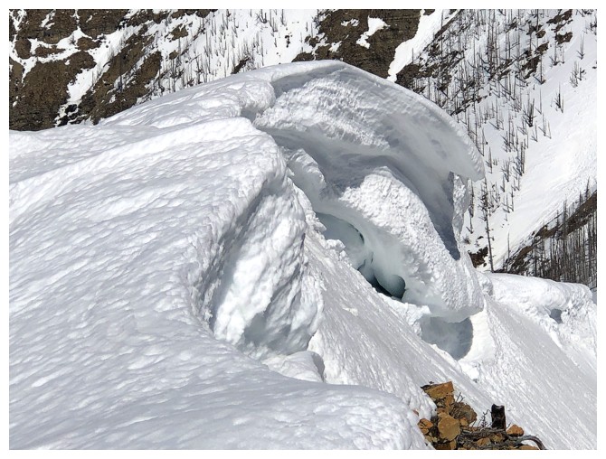
From the other side
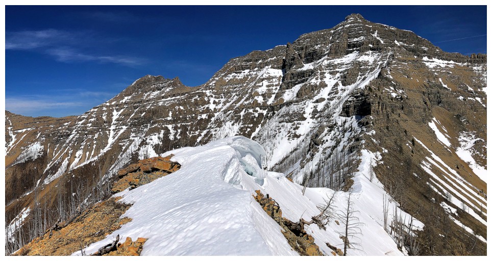
The route behind
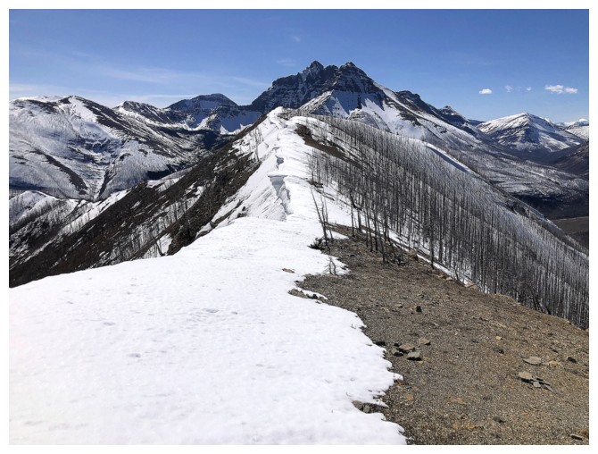
The route ahead
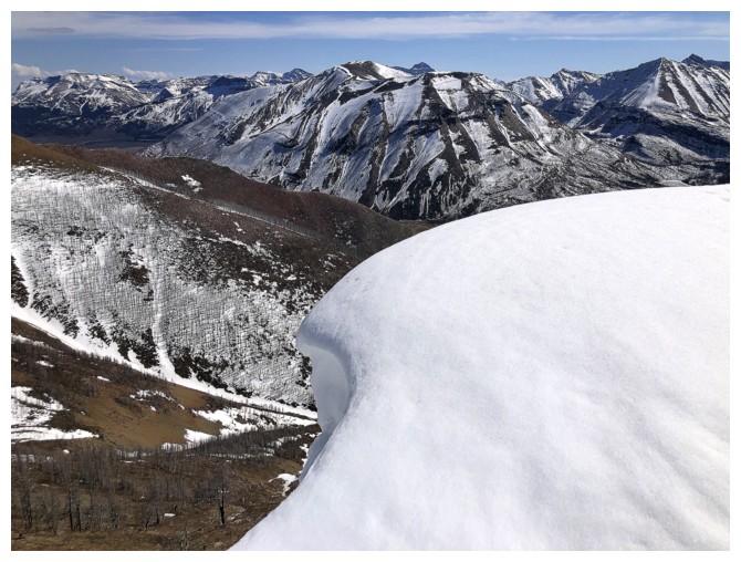
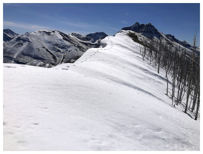
Someone was light enough to walk right along the edge of the cornice and it wasn't me!
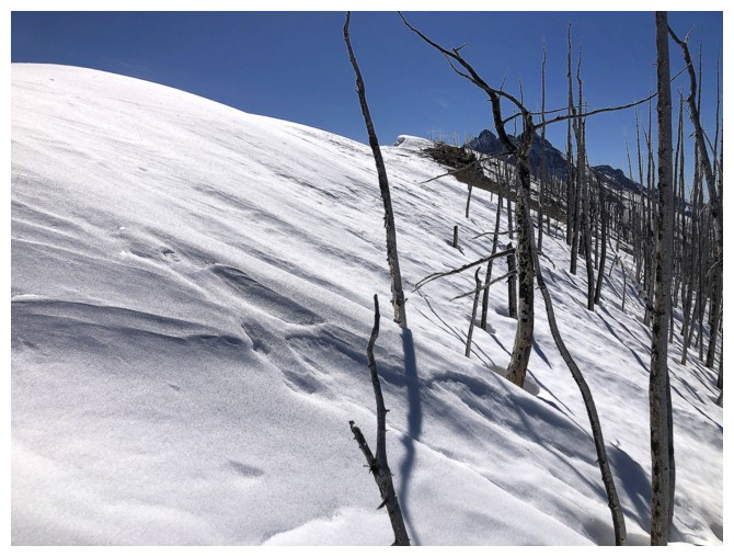
I stayed far away from the edge

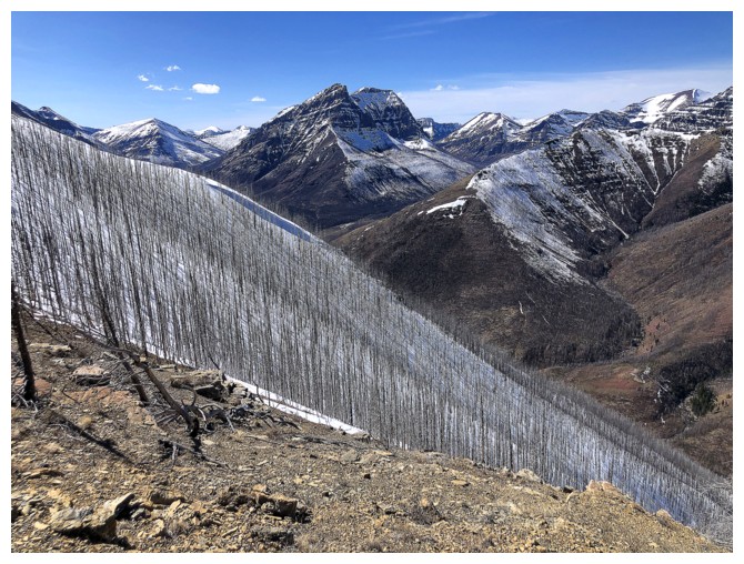
Huge snow slope sweeping down into Lost Horse Creek
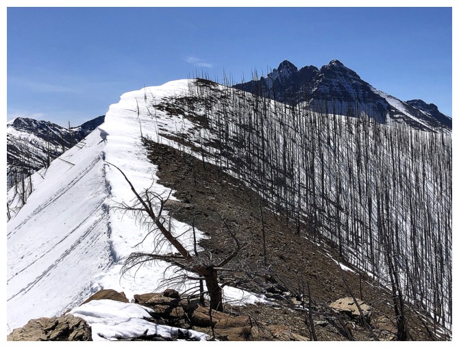
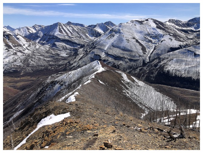
The next section of the ridge is essentially snow-free
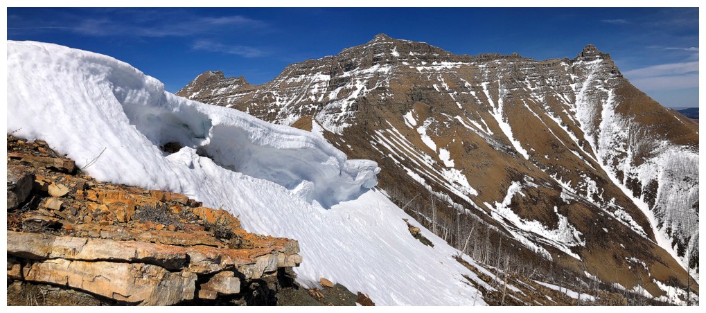
However, looking back along the ridge from below is incredible
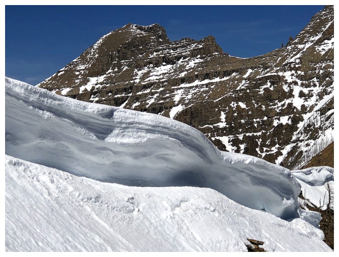
A cornice and Rogan
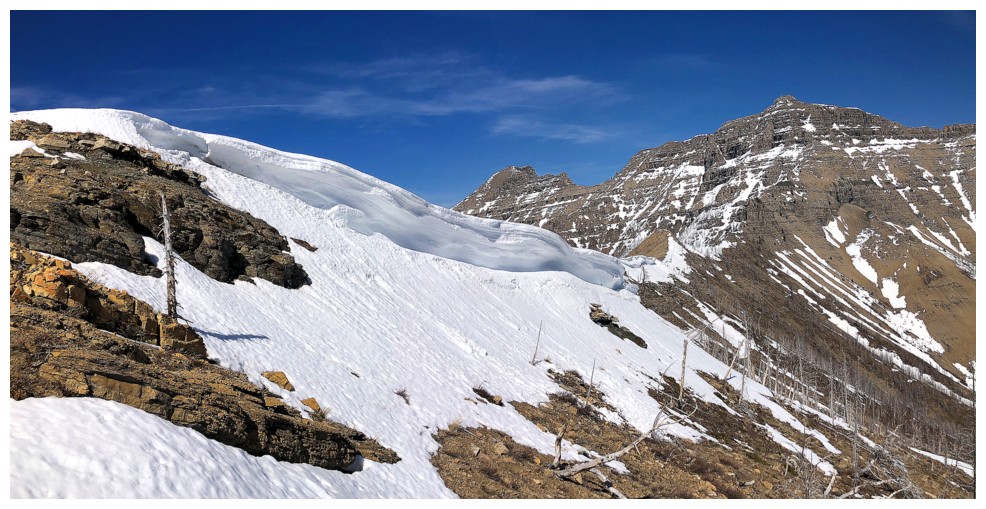
From further back
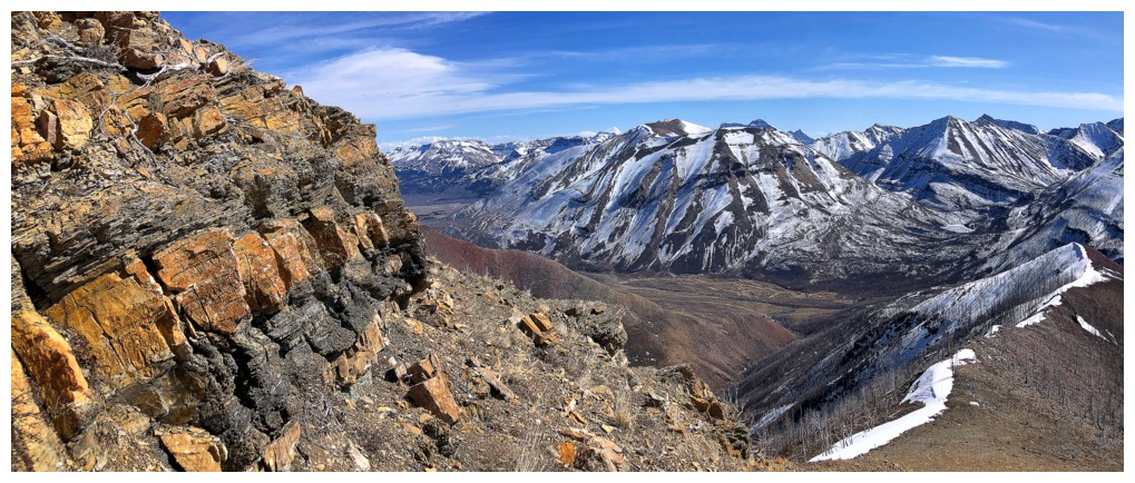
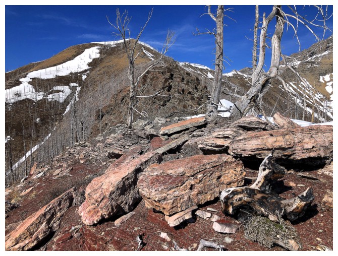
Less snow means more colourful rock is exposed
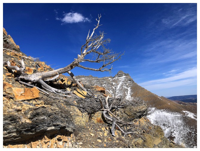
And the odd twisted, dead tree
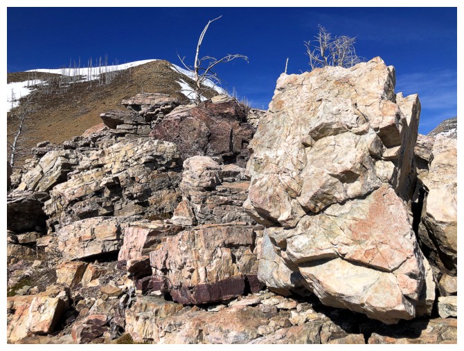
And some massive boulders
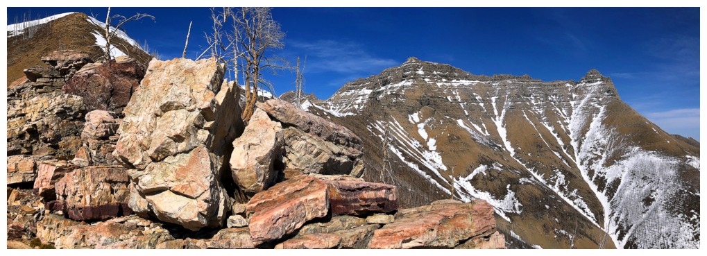
All of the above
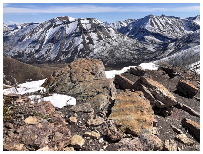
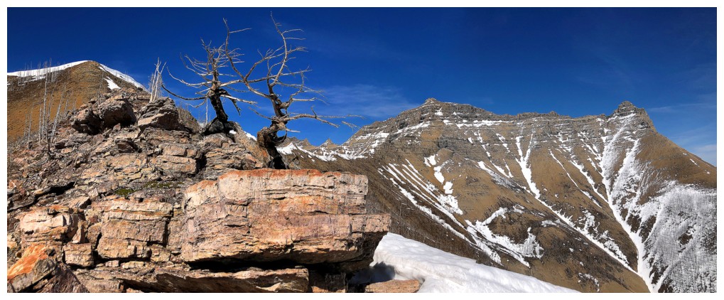
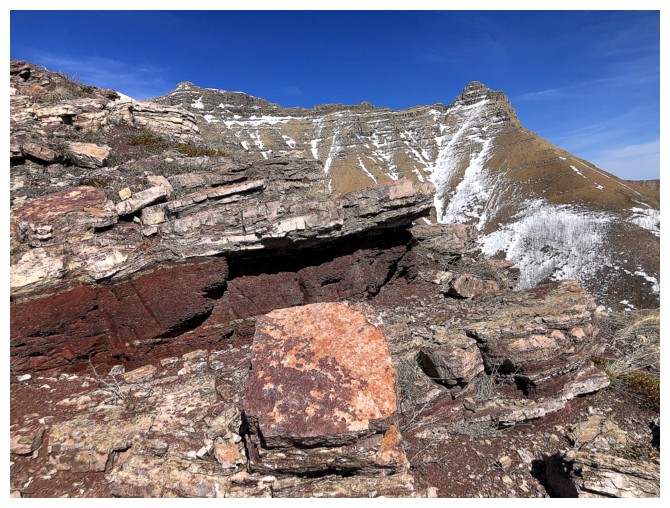
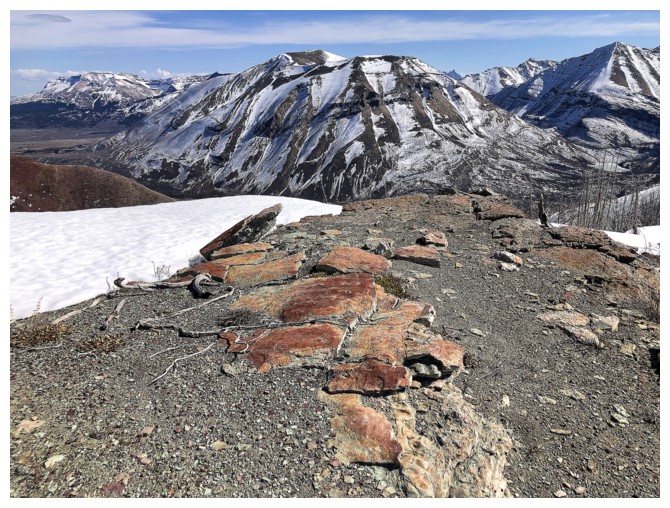
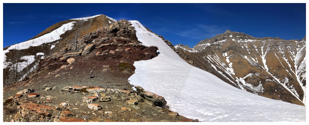
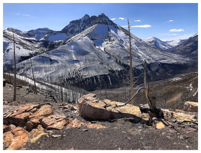
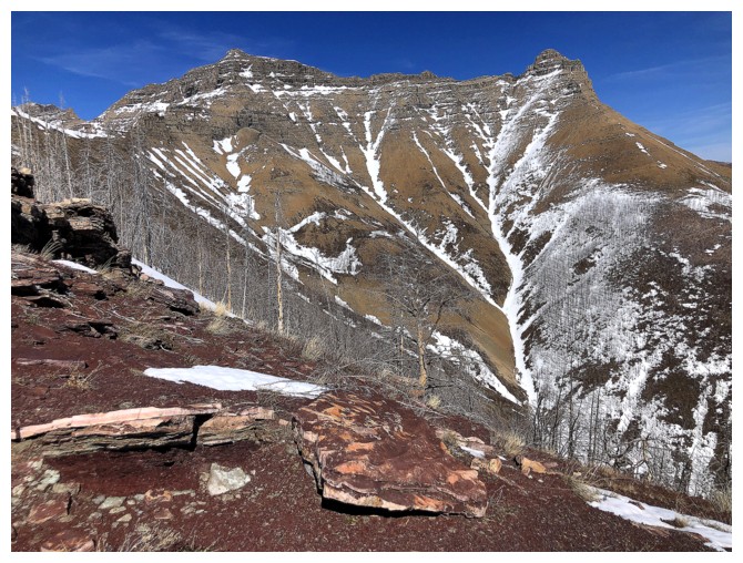
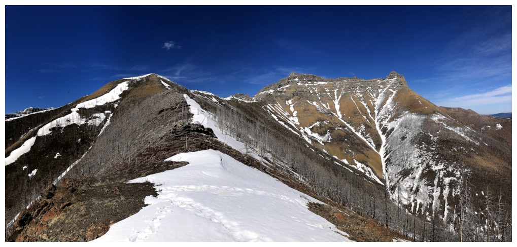
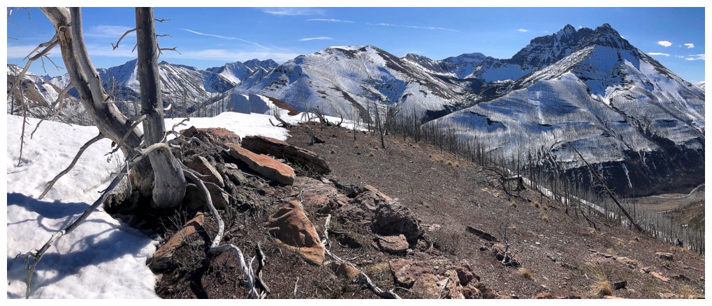
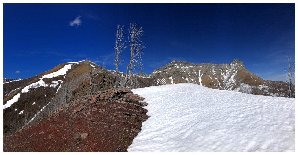
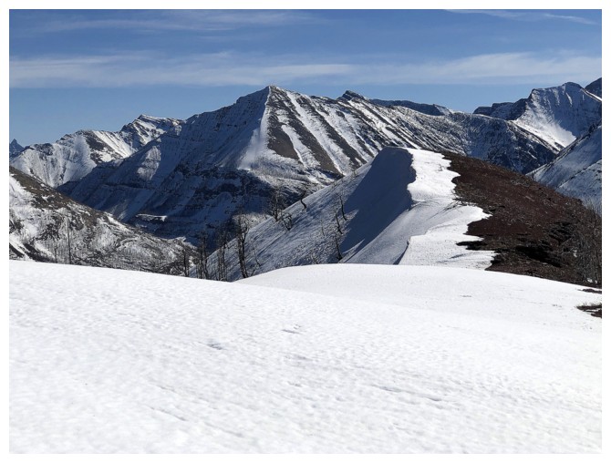
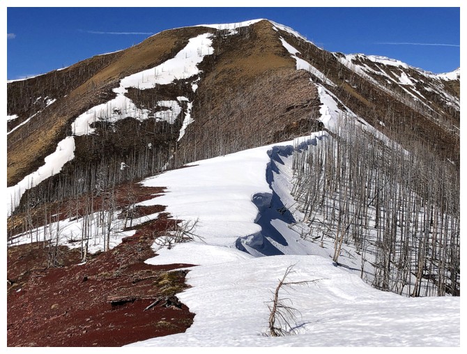
The snow returns for the final section of ridge
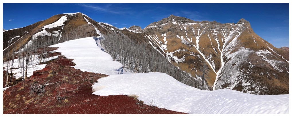
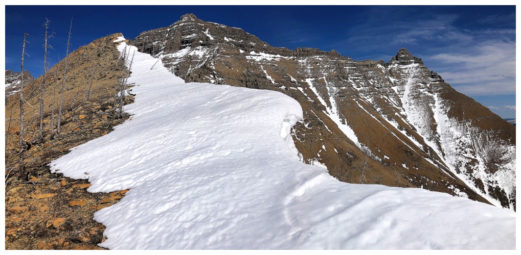
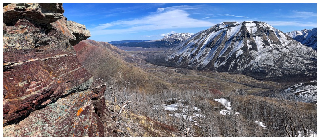
Snow, red argillite, blue sky, and beautiful mountains - one of my favourite scenes of the day
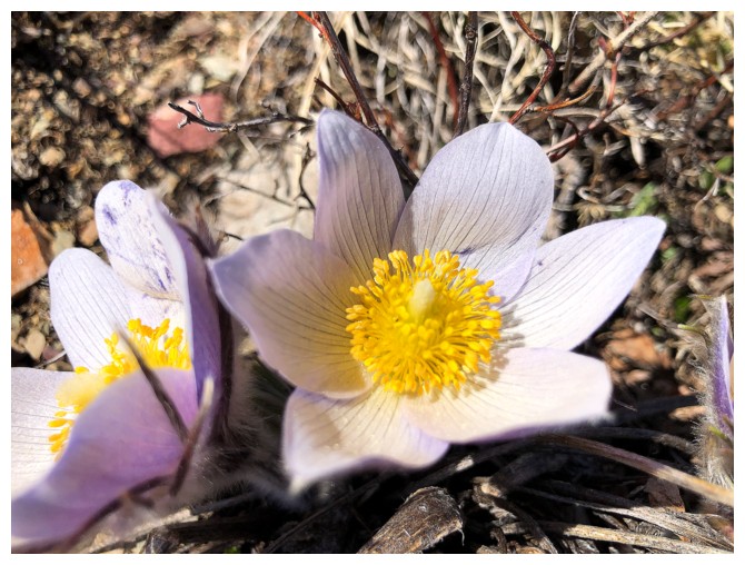
Crocus
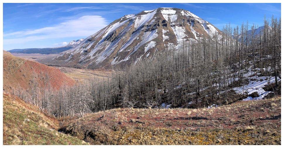
Leaving the ridge and descending back to Coppermine Creek. Mount Crandell dominates the view.
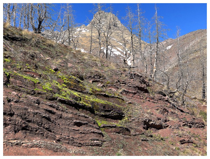
Galwey through the trees
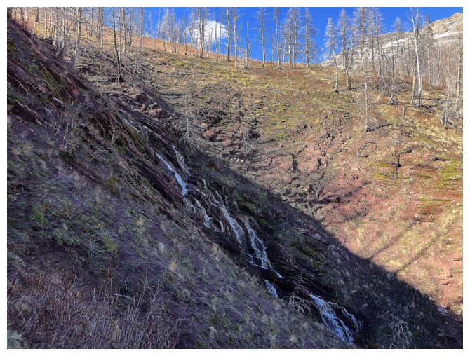
Surprise encounter with another amazing stream running down to join Coppermine Creek
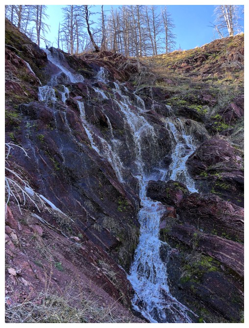
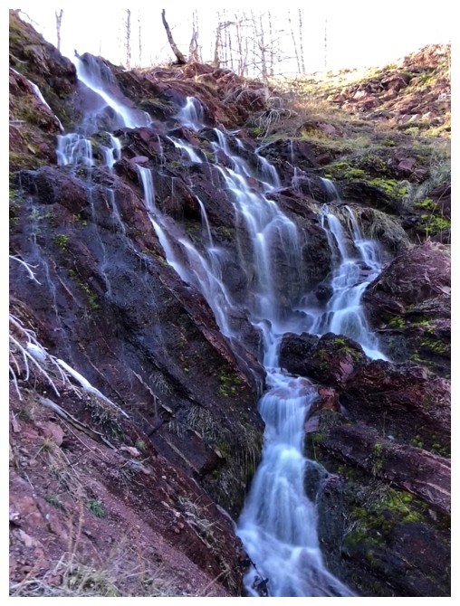
Normal exposure vs. long exposure
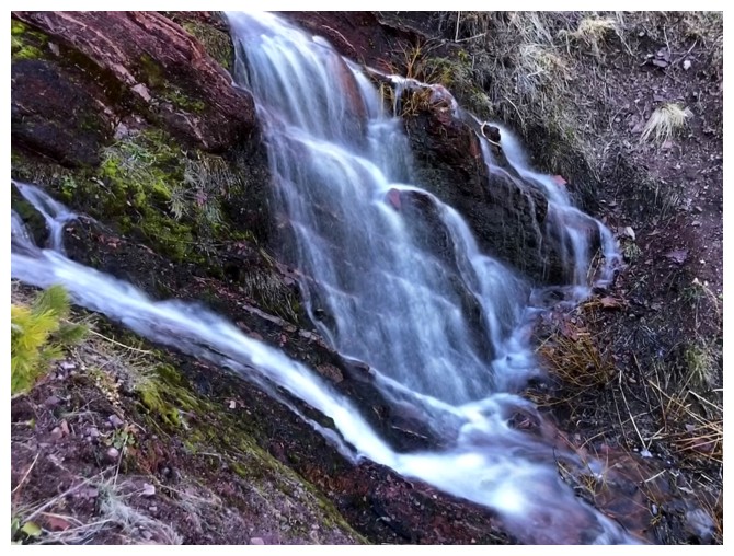
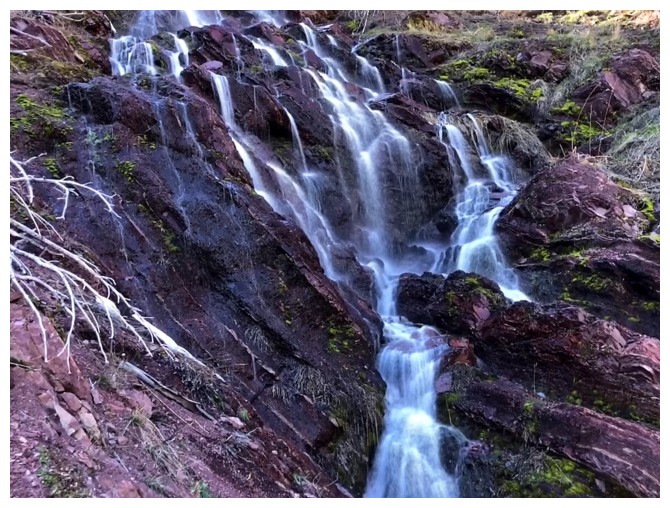
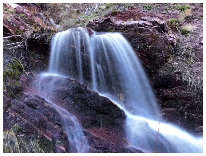
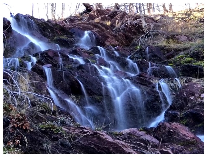
Clearly I gravitate towards long exposure!
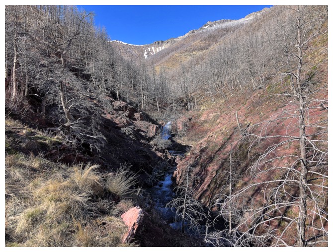
Almost down to Coppermine
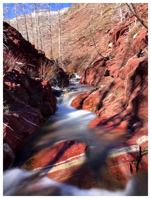
And down. The creek always looks better later in the day when the Sun's rays reach it.
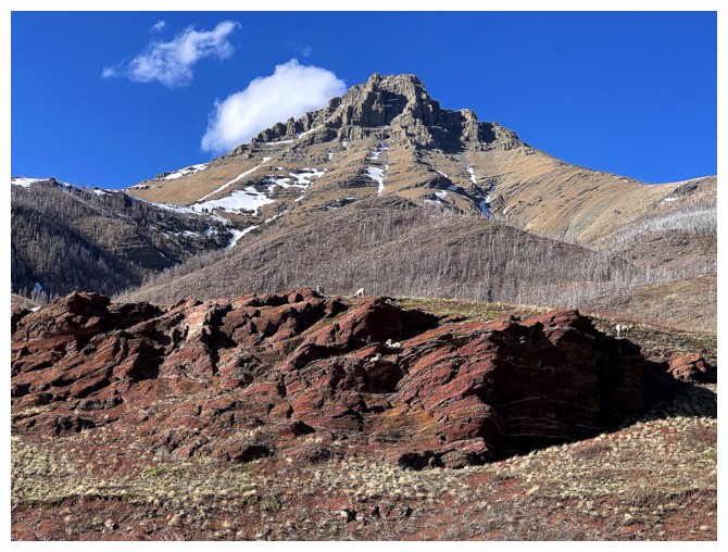
Had to stop to check out the sheep on this beautiful outcrop of argillite, with Galwey in the background
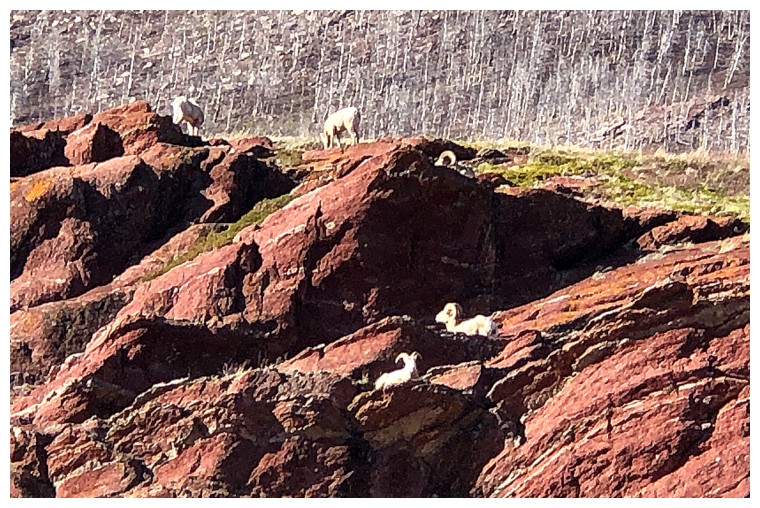
Those sheep
The End
LOG