The Senator III
Lake Dormaar attempt II
July 30, 2024
Mountain height: 2440 m
Elevation gain: 896 m
Ascent time: 2:40
Descent time: 2:20
Solo scramble.
That’s probably
a wrap for attempts to visit the shores of this somewhat obscure lake beneath the north
face of Buchanan Peak. An attempt from the Alderson Lake Trail failed 10
days earlier and so did this route from the summit of The Senator.
I took the same
route Dave and I had used several months earlier to get to the summit of The
Senator. From there, I was hoping to descend the east ridge and then turn south
down easy scree slopes to the lake. I didn’t get far. The ridge quickly became
quite exposed and although I could see a few potential routes down, I could
also see the potential of slipping and plummeting to my death. With a beautiful
fillet of fresh salmon waiting for me in the fridge at home, death wasn’t an
option! I turned around, descended The Senator, made it back home, cooked that
salmon to perfection, and enjoyed every bite, in addition to enjoying my “not
dead” status.
I WON'T be back!
Looks like a bushy route near the beginning but it's actually quite easy
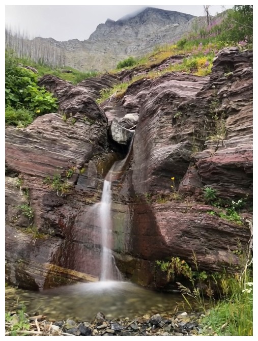
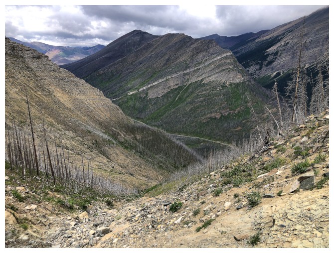
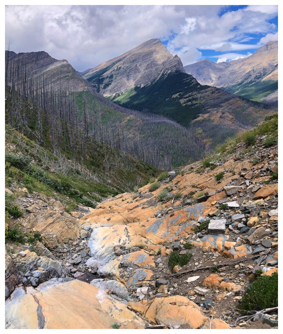
Once in the drainage, travel is fun and scenic
Looking back to Mount Lineham
My first time in this drainage with no snow at all
Cool scenery at every turn

A blue sky would have been nice, though
Out of the drainage and onto the ridge
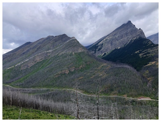
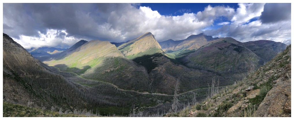
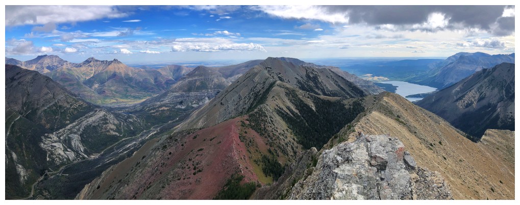
Mount Rowe and Rowe East joins Lineham
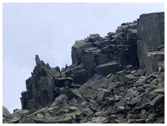
Great rock scenery on the ridge too

The skies didn't clear any more than this
The highest summit of Buchanan Ridge

Blakiston and Ruby Ridge
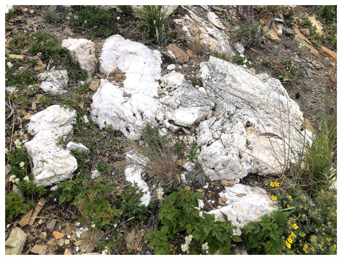
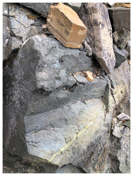
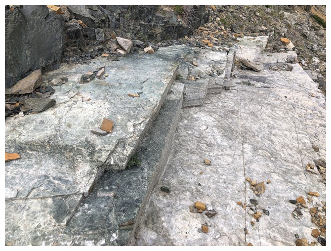
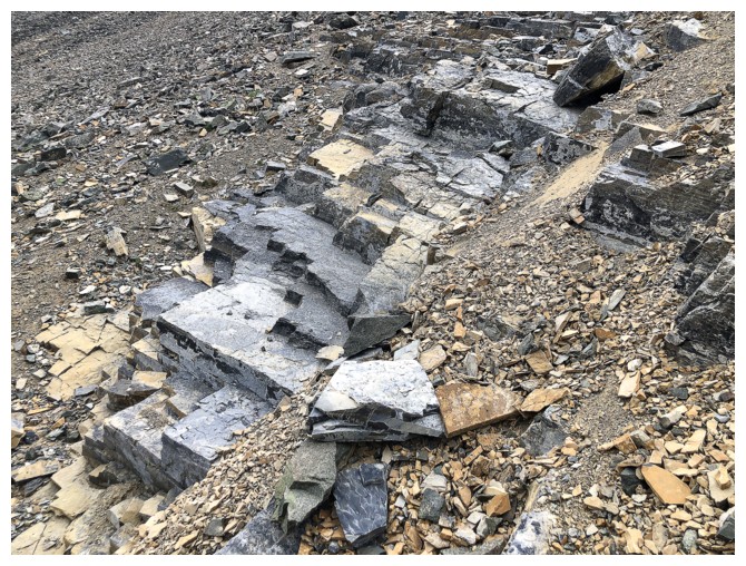
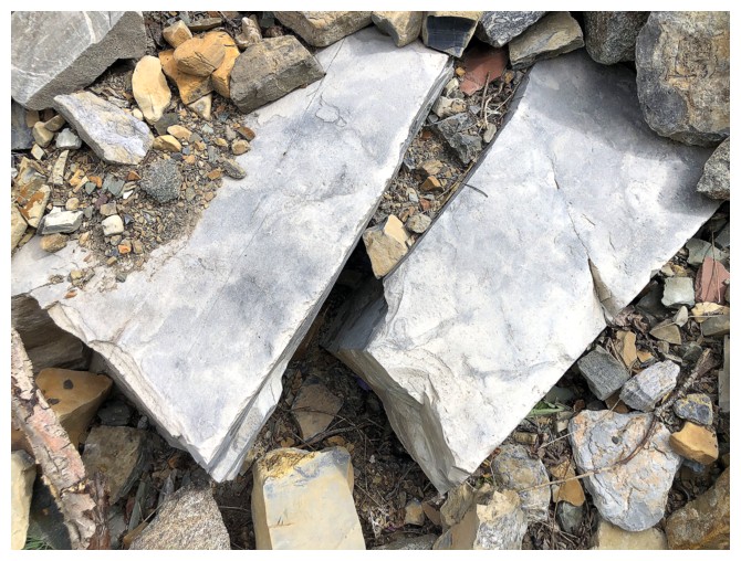
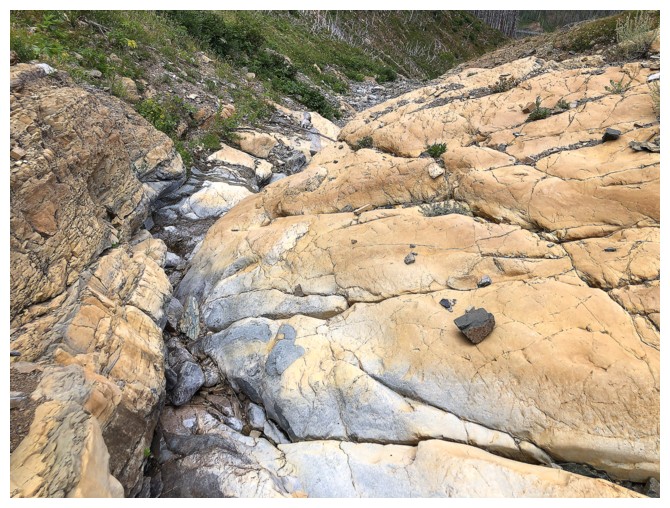
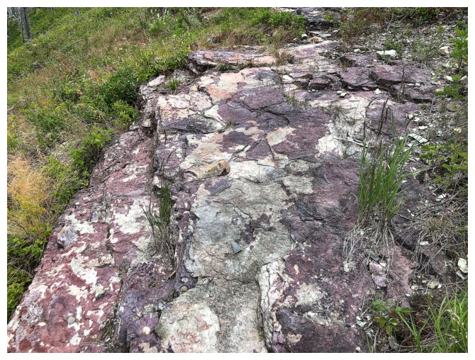
White rock
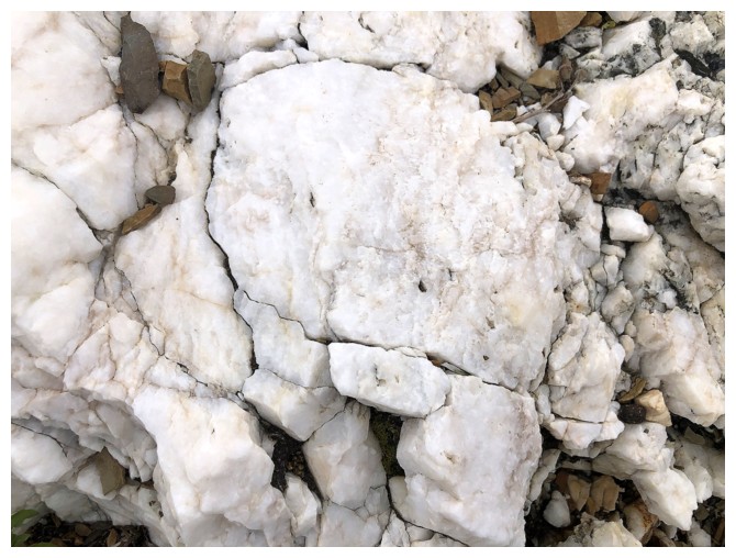
VERY white!
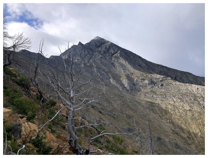
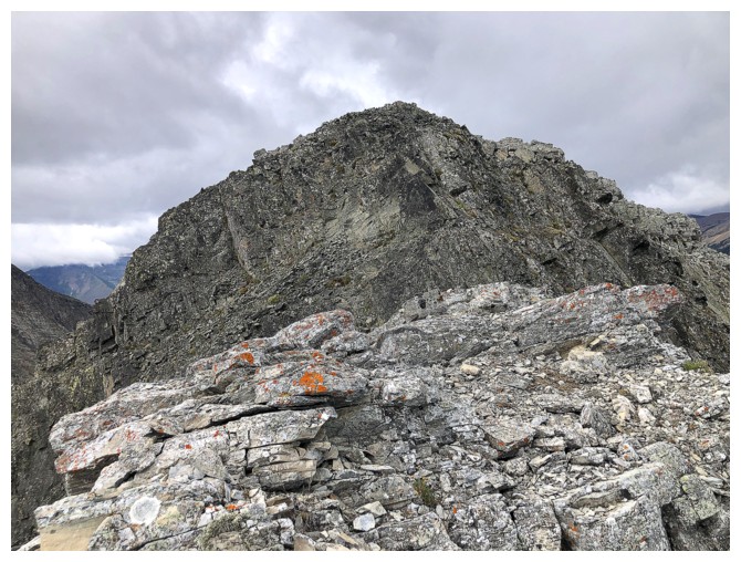
A foreshortened view of the rest of the ascent
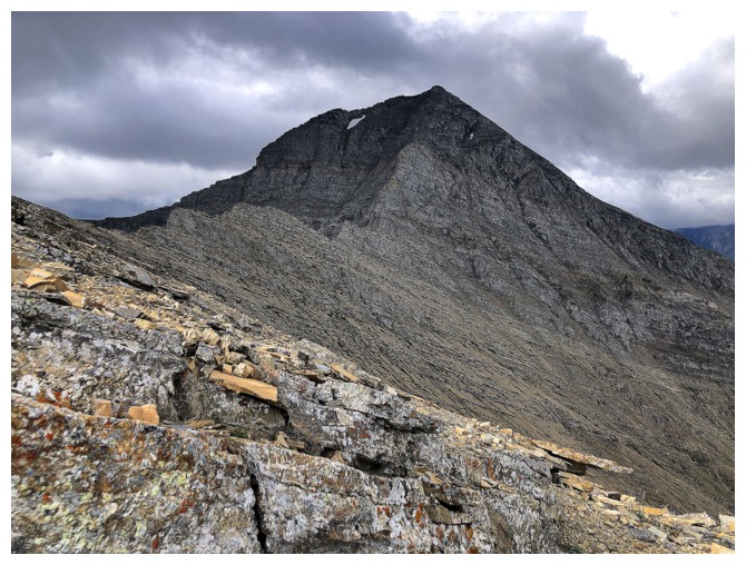
Buchanan again - no scramble route from this direction
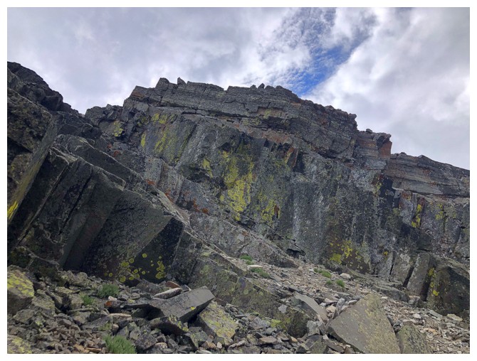
The steep upper slopes of The Senator
The VERY steep line Dave took
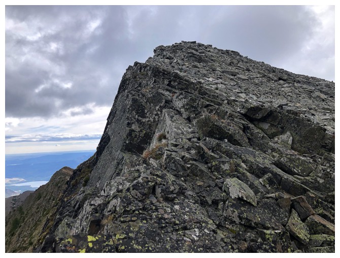
Minutes away from the top
Buchanan Northeast

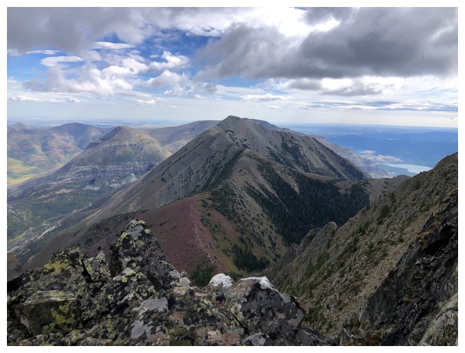
A very cloudy summit view - a far cry from my first trip up
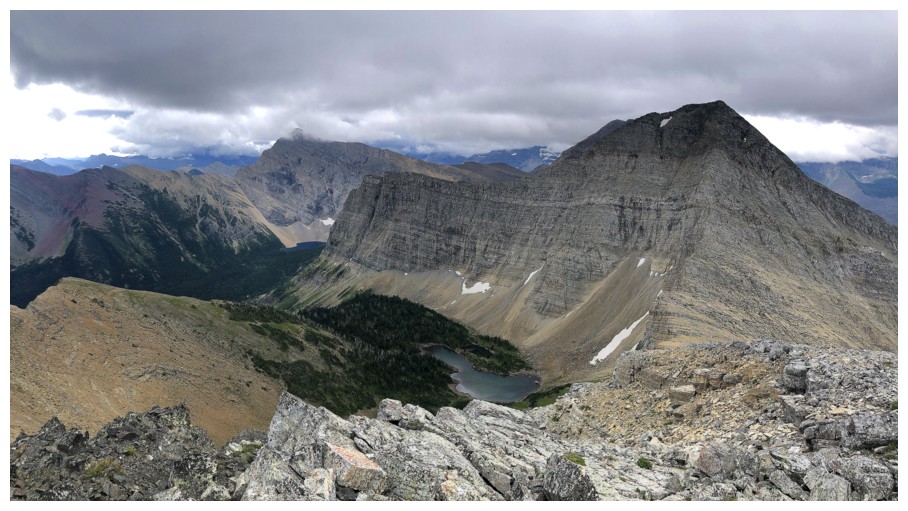
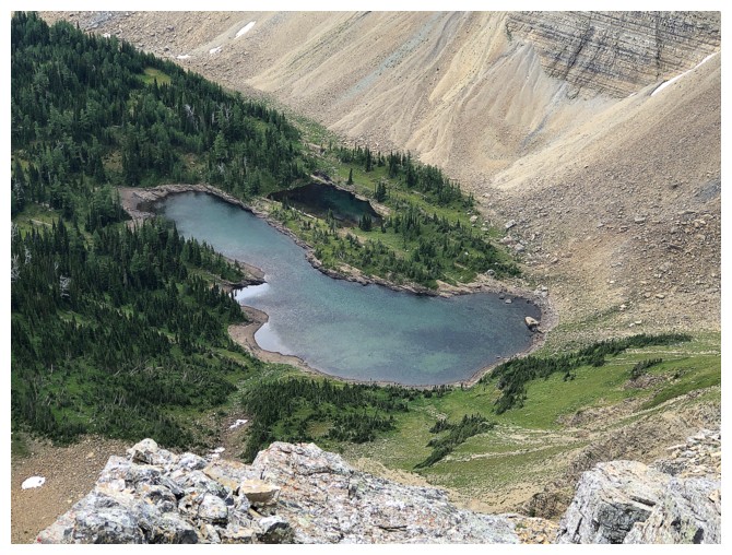
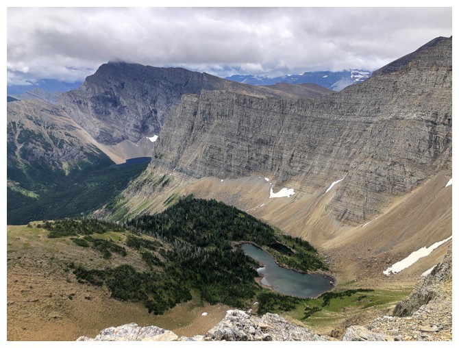
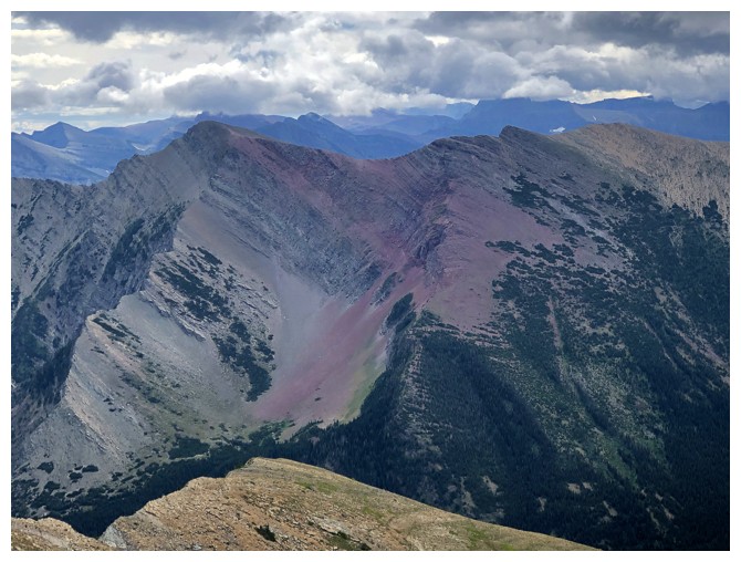
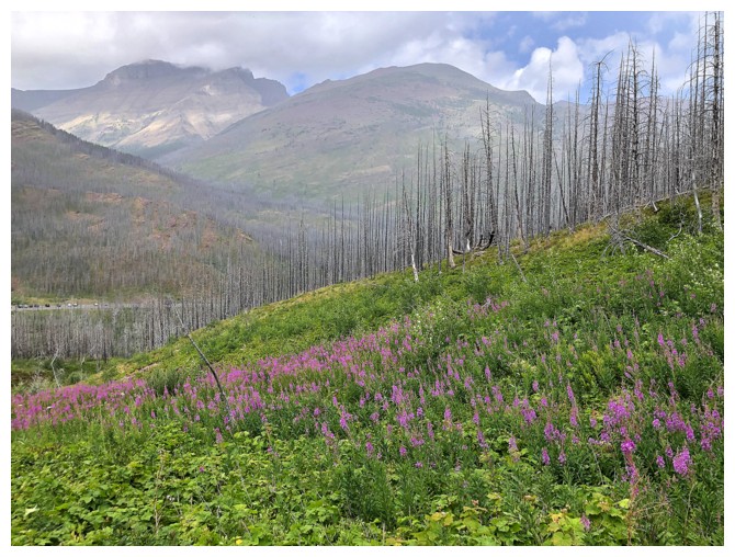
There's Lake Dormaar, beneath Buchanan Ridge and Peak
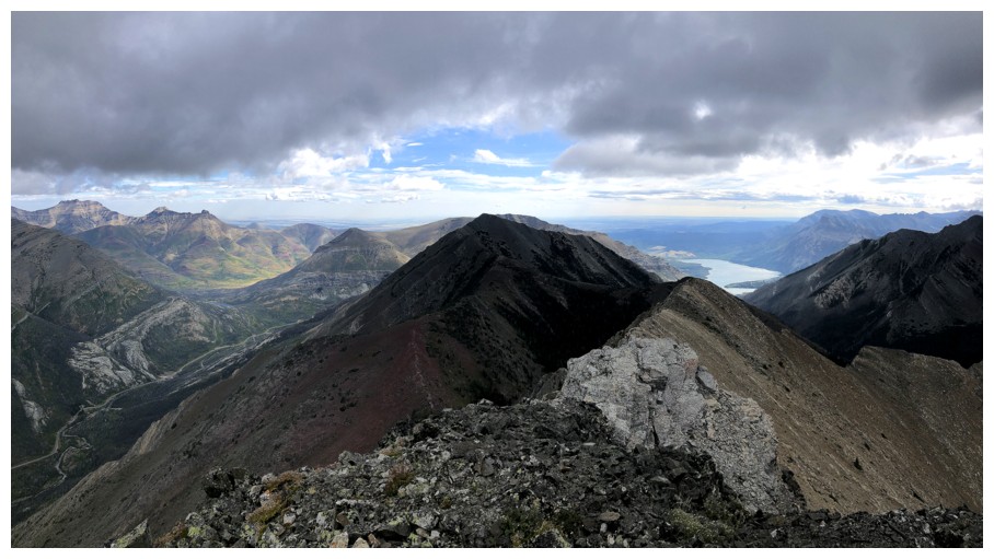
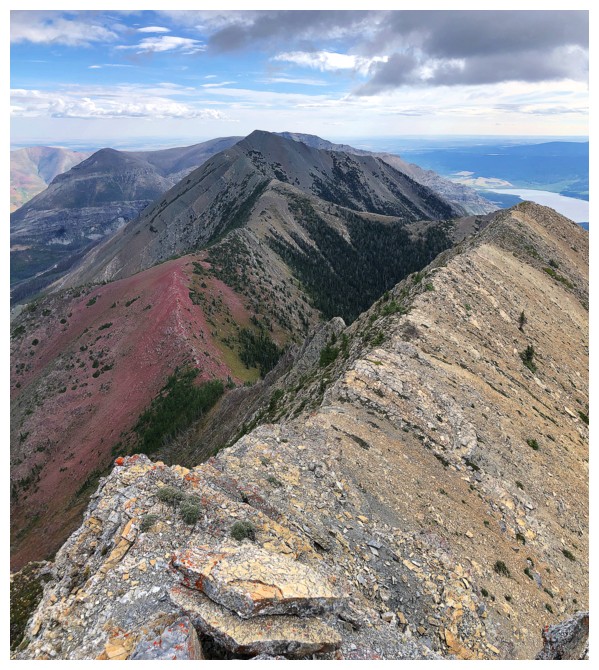
Heading down the east ridge
Looking back to the summit
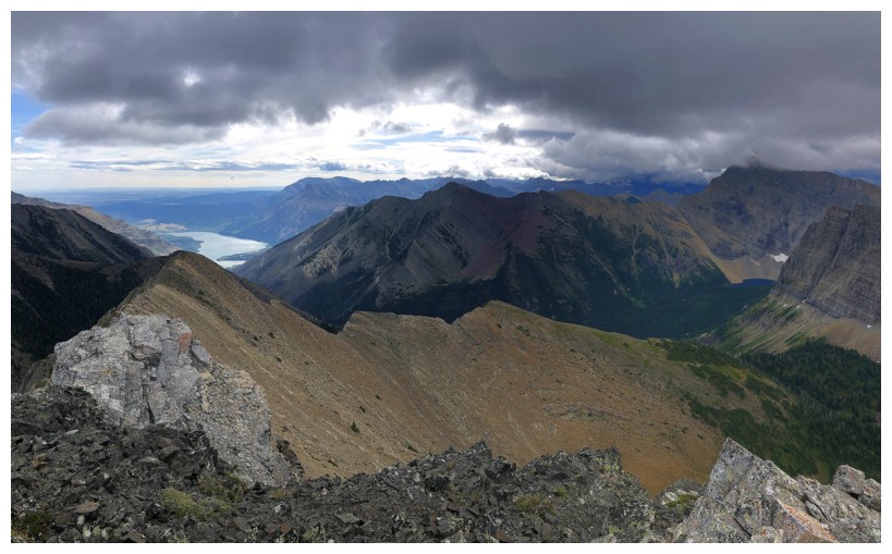
There's a big drop-off in front. A route down the left side looked feasible, but the consequences of a slip would be severe.
View from as far as I got
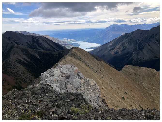
Not getting to the lake today
Close-up of where I'm not getting to!
Bertha Peak (left) and Bertha Minor - one of the most colourful and enjoyable trips in Waterton
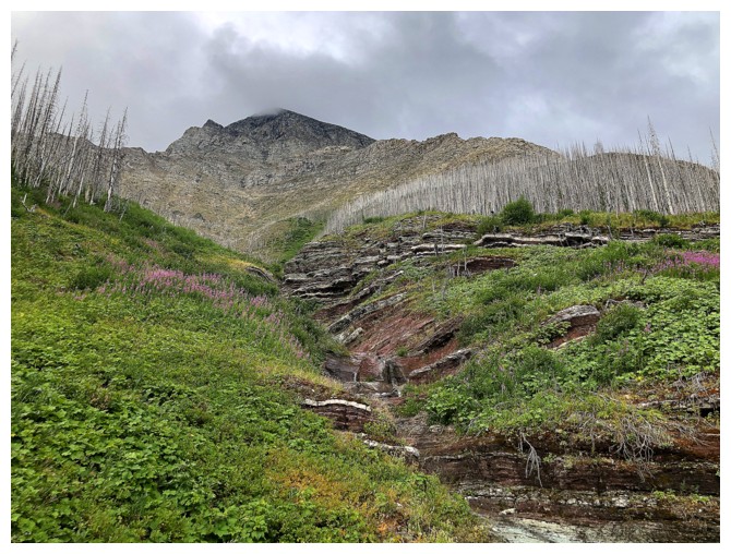
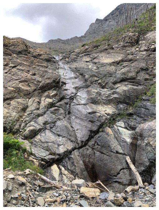
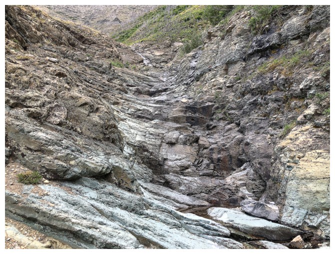
Heading down the drainage. It's much steeper than it looks near the top.
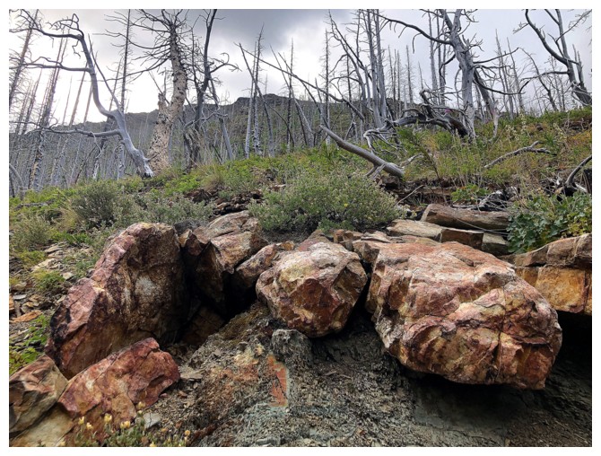
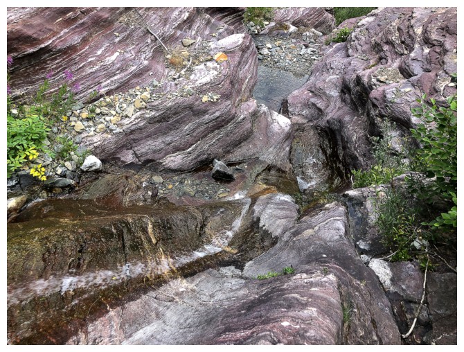
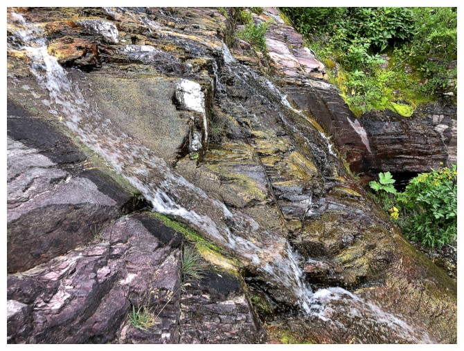
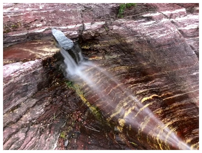
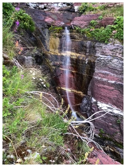
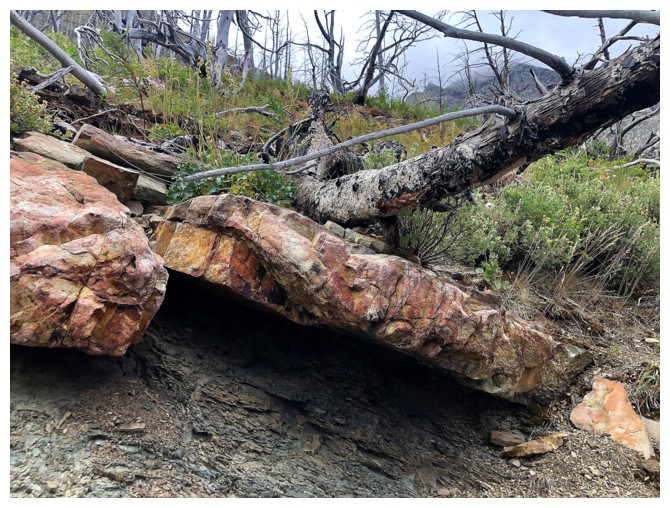
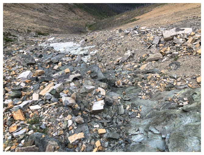
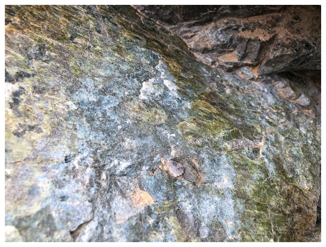
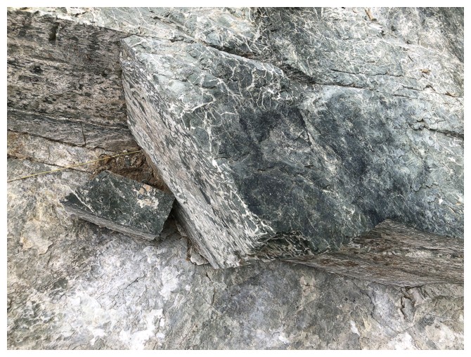
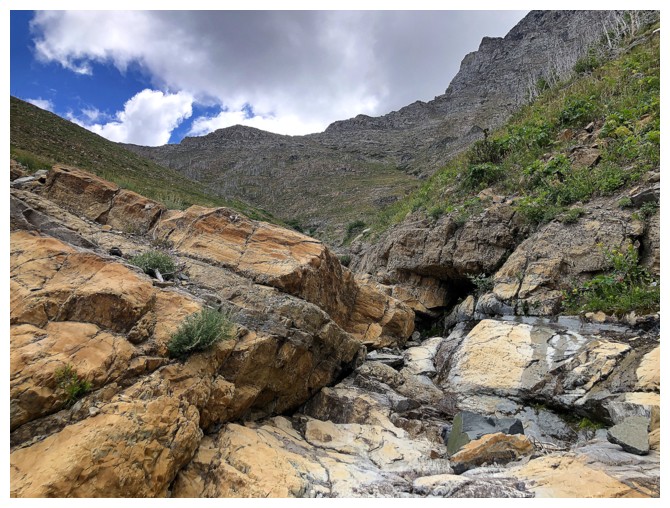
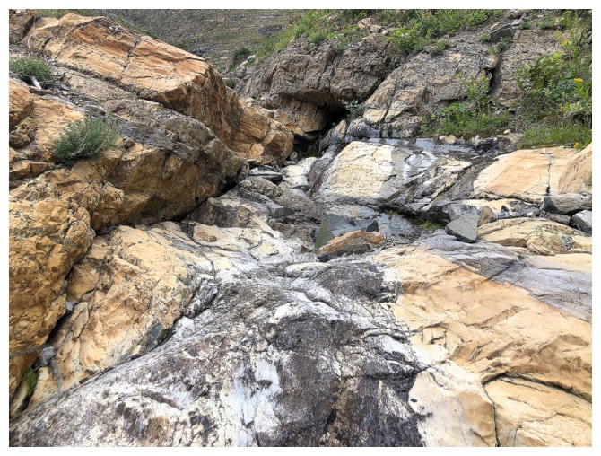
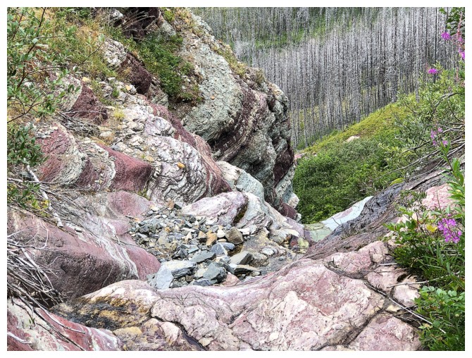
But full of interesting rock

The grade eases lower down
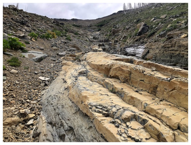
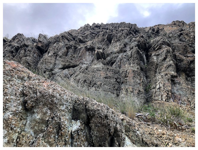
Still lots of cool rock to see
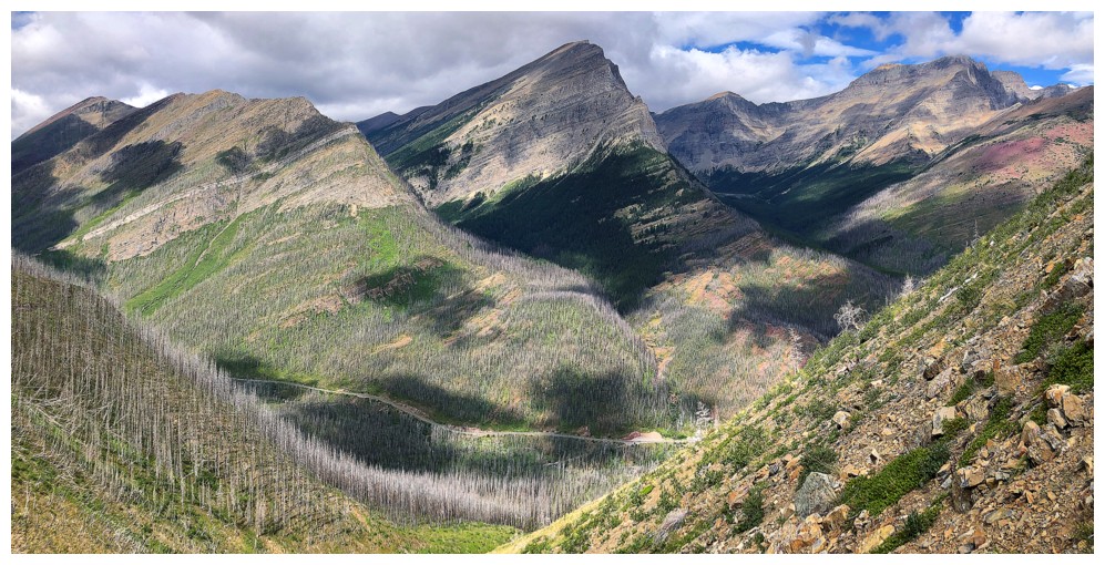
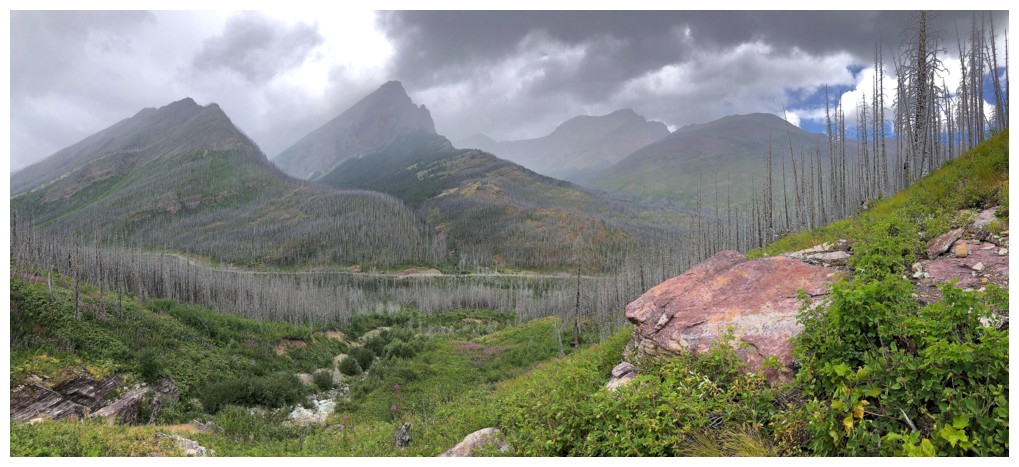
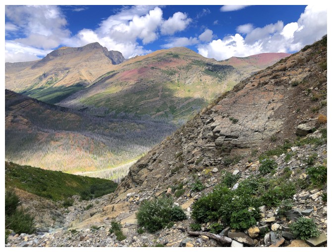
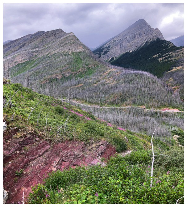
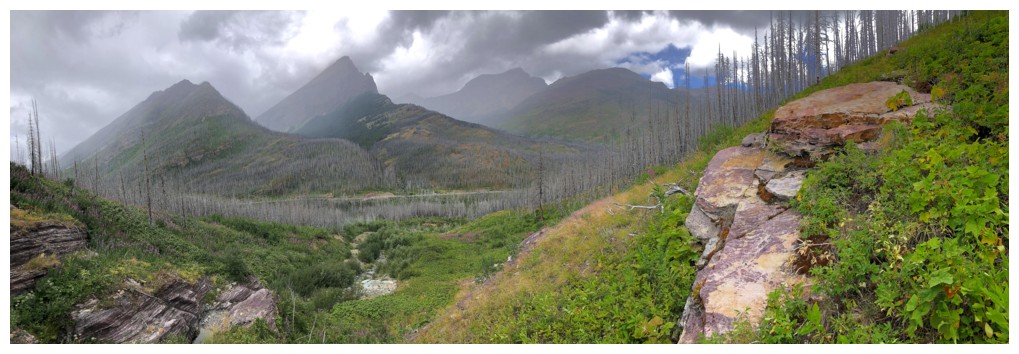
The view to the north is very rewarding, especially on a clear day
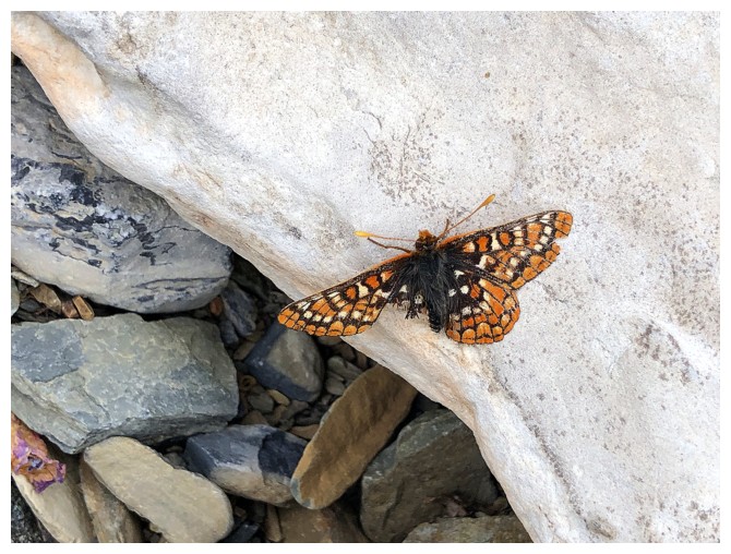
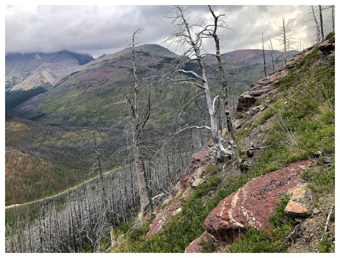
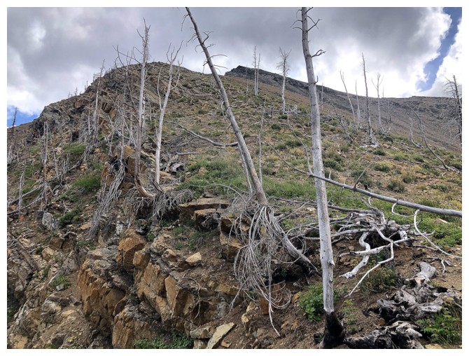
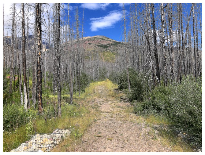
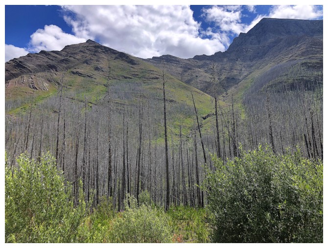
This poor fellow has seen better days
Awesome rock to walk down
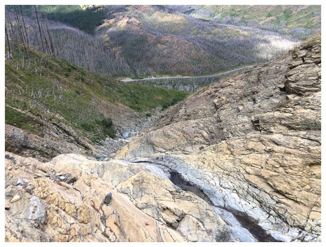
The road is still a significant vertical distance below
Hard to believe you can effortlessly walk up this terrain when its completely filled in with snow
More steep terrain that is easy to ascend with snow
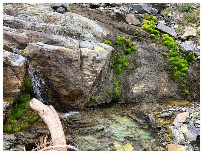
Some very bright green moss
Last good view of Rowe East (and Rowe East Minor) and Lineham
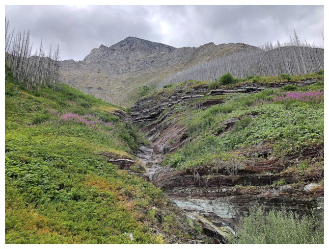
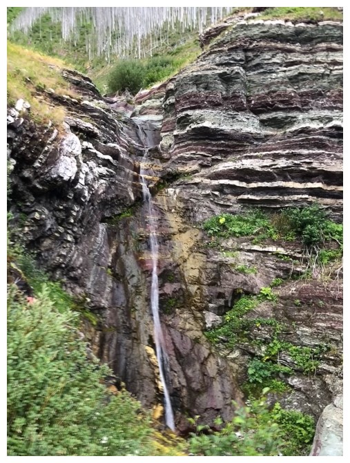
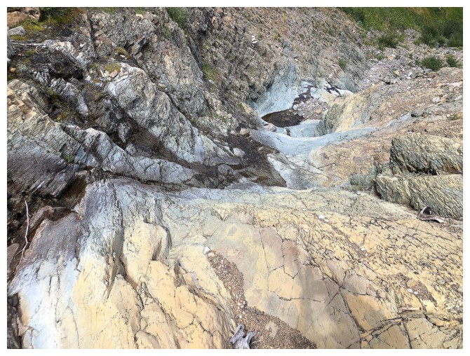
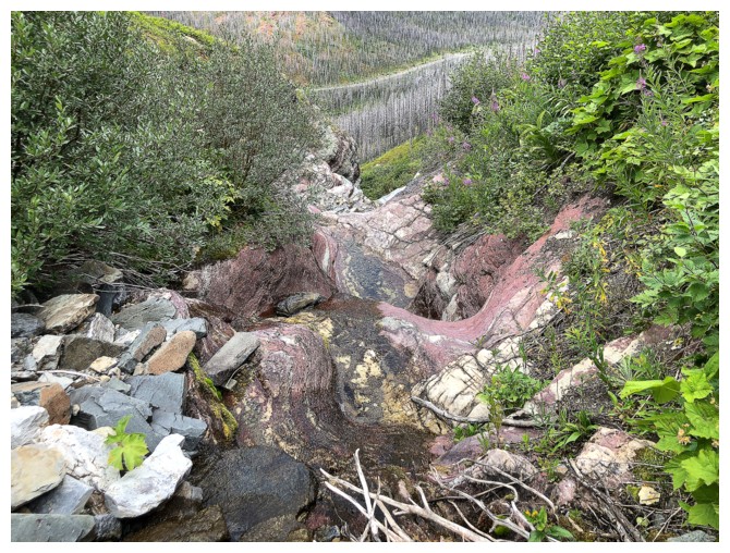
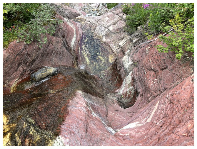
There are several amazing outcrops of rock near the bottom, but clear skies are required to fully enjoy them
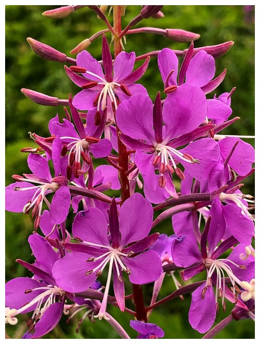
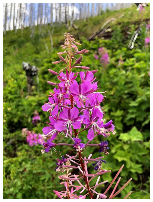
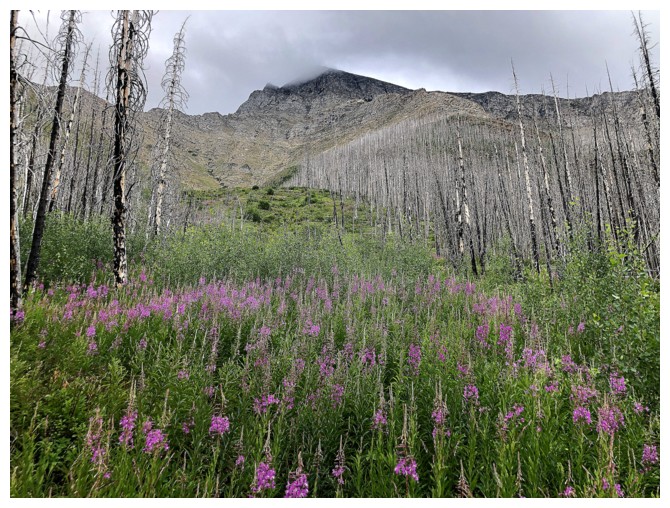
Wildflower close-up
There's the cool rock and the cool view
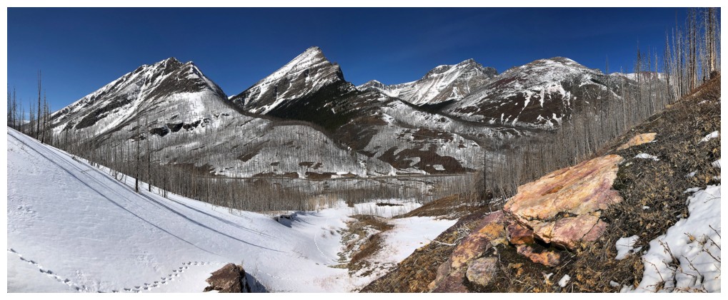
And that's what it looks like with snow and clear skies

Nearing the road
Using the nearby bridge that eliminates the need to ford Cameron Creek. Hard to believe I forded the creek every other time!
Looking back to The Senator
The End
LOG