Mount Weed
August 21, 2025
Mountain height: 3080 m
Elevation gain: 1340 m
Ascent time: 3:45
Descent time: 2:25
Solo scramble.
Back in the
Stone Age (2005) Mark and I attempted Mount Weed as a mountaineering trip in
winter conditions. We made it to within 90 vertical metres of the summit but
backed down when we ran out of time and had already pushed our luck further than we should
have regarding the snowy conditions. Redemption time and I wasn’t going any
near Weed with even a flake of snow on the mountain – late August definitely
did the trick on that score.
A good trail
has developed for most of the trip and so route-finding was hardly an issue.
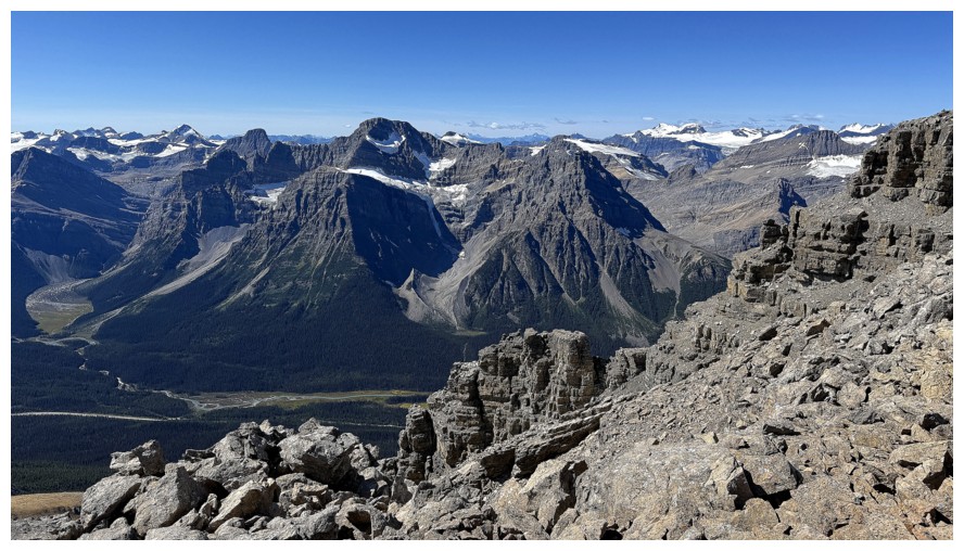
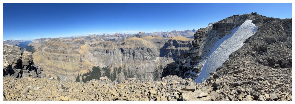
Once above treeline, outstanding rock scenery became the theme of the ascent. The ascent gully was much steeper than
I remembered, perhaps because ascending it wearing crampons and using an ice
ace was far more aesthetic than this snowless, rubble slog (not that I’m
complaining at all).
The upper
section of the gully was still holding snow and ice and so I veered to the
right, finding a nice route to the summit ridge. Upon reaching the ridge a
quick detour over to a minor highpoint to the east seemed worthwhile and it was,
boasting stunning views to the northeast, east and southeast.
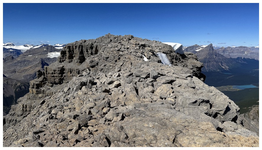
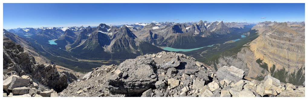
The summit was
then easily reached. My expectations for the summit view were very high and
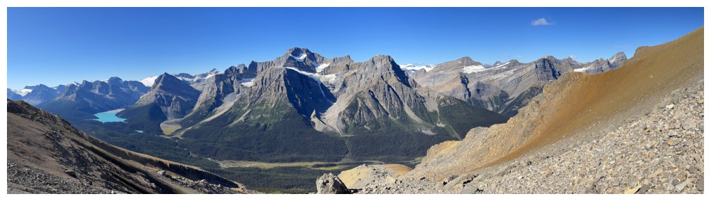
those expectation were thoroughly met. Wow! Lakes galore, huge striking peaks
at every turn, and several glaciers - not to be missed!
The descent was
fast and easy. I wish all descents followed suit! An outstanding
day on a mountain everyone should check out.
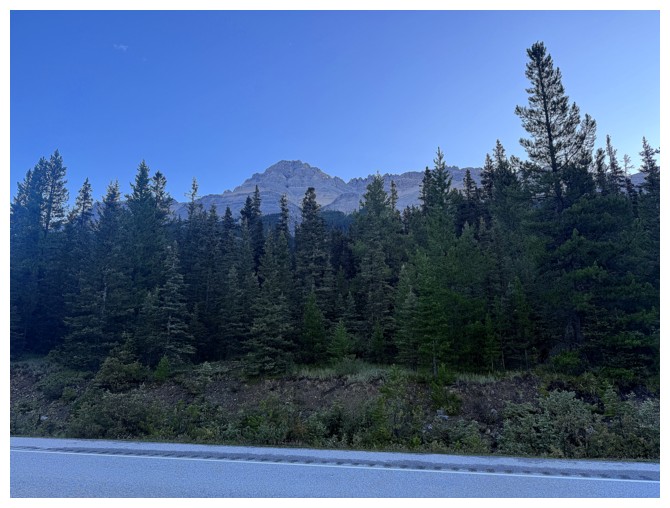
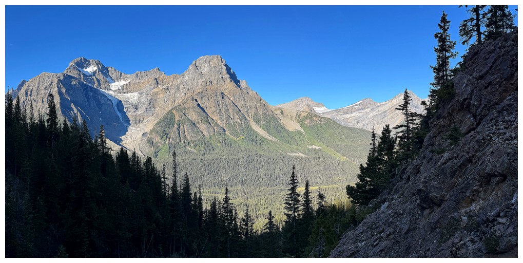
Mount Weed from the start
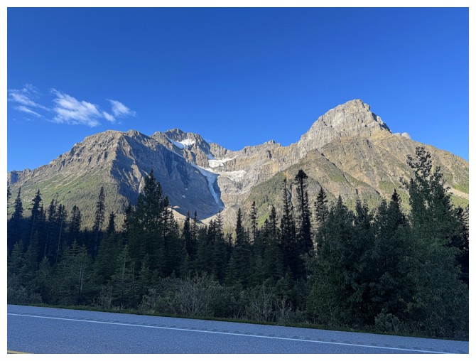
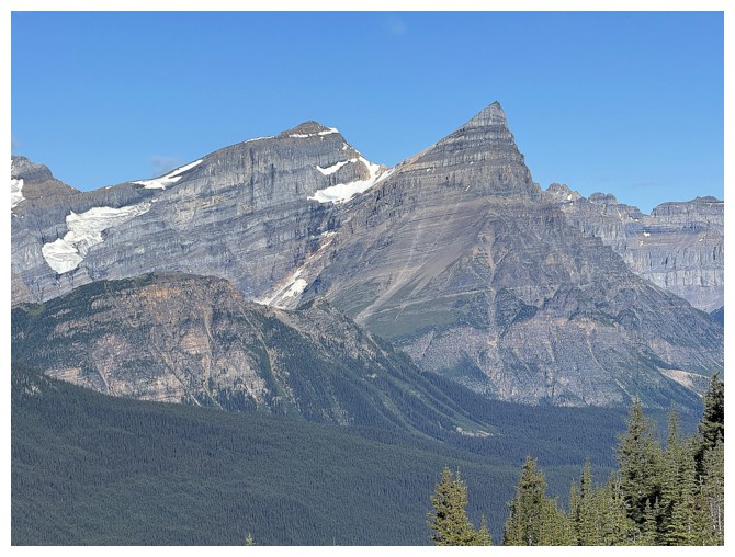
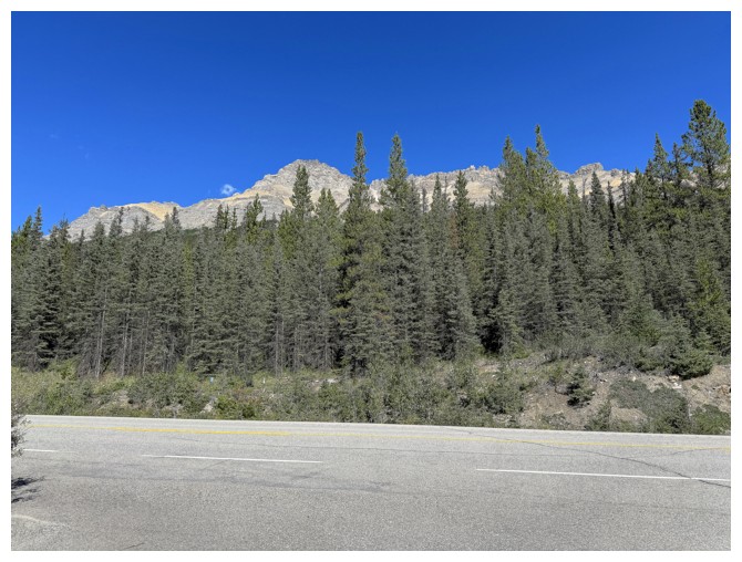
Mount Patterson on the other side of the road
Patterson will get lots of attention
Same as above

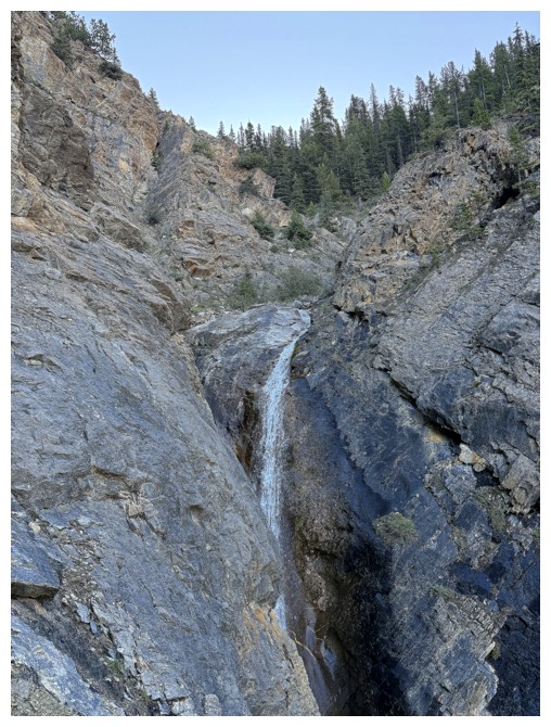
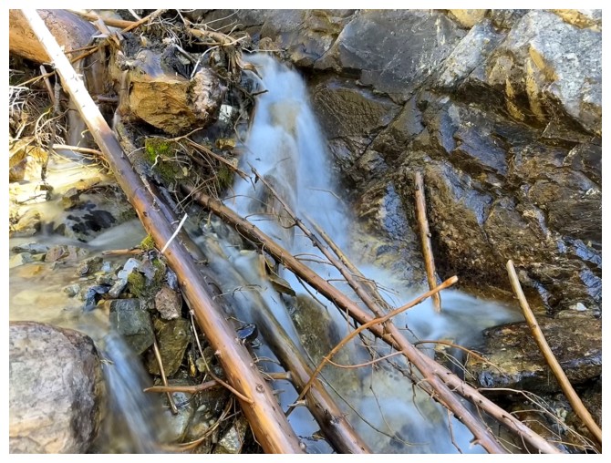
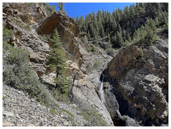
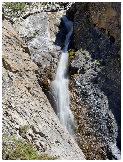
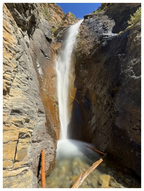
Quick detour to check out this waterfall
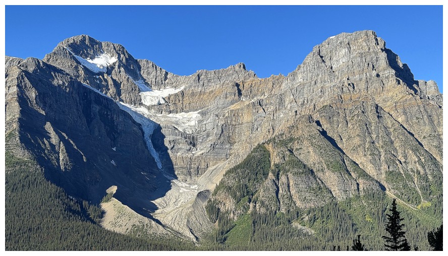
Patterson again
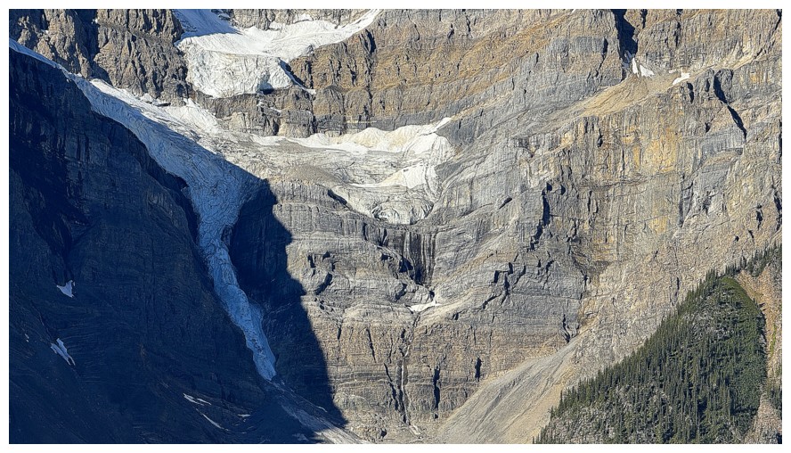
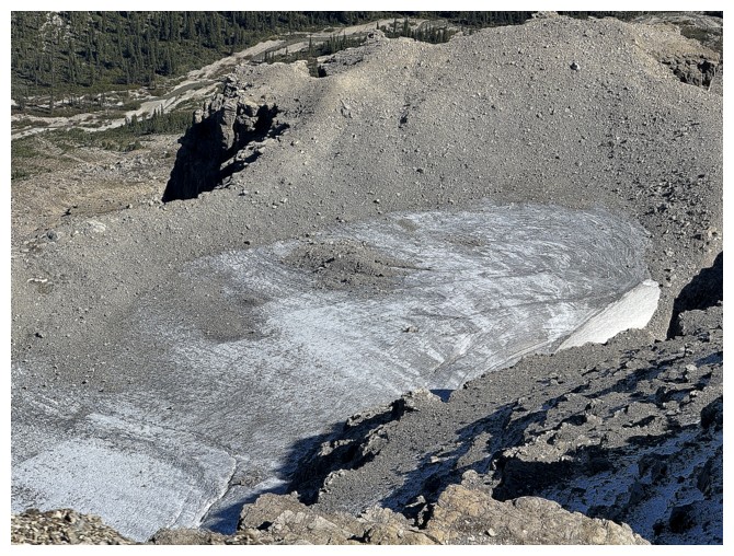
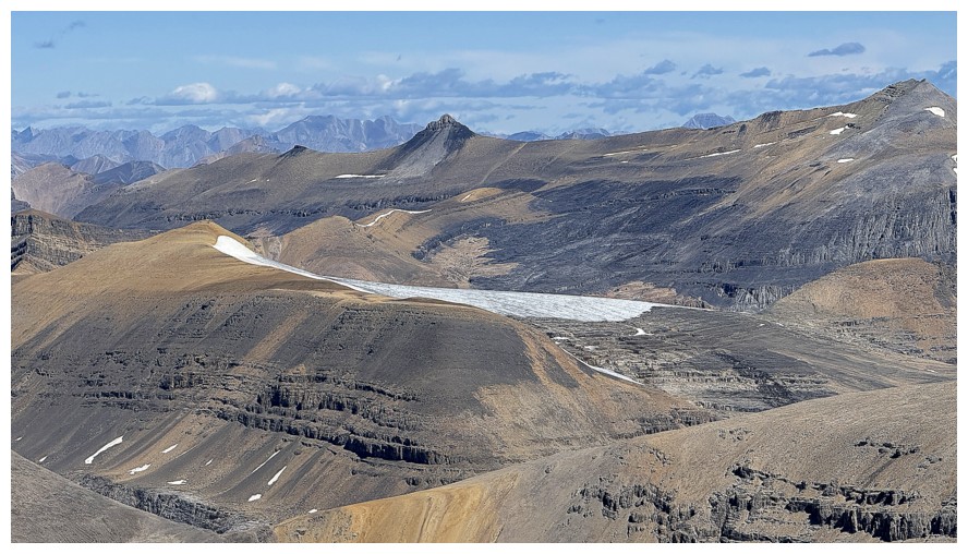
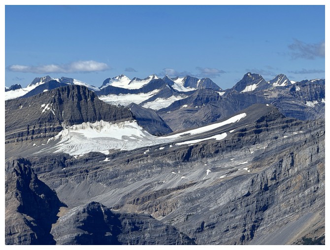
The anemic Snowbird Glacier
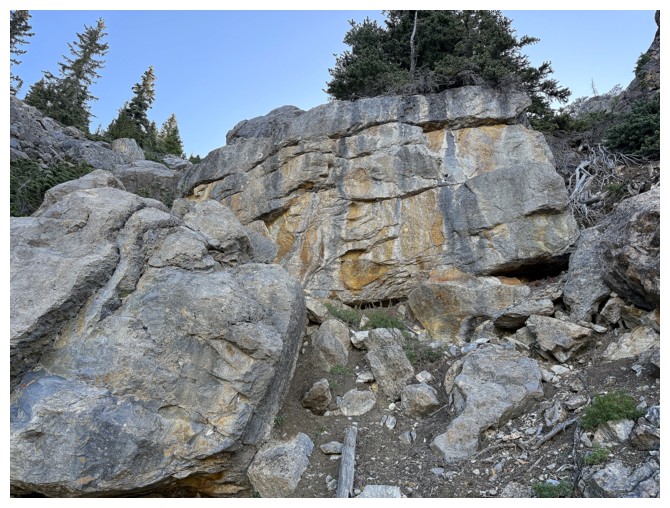
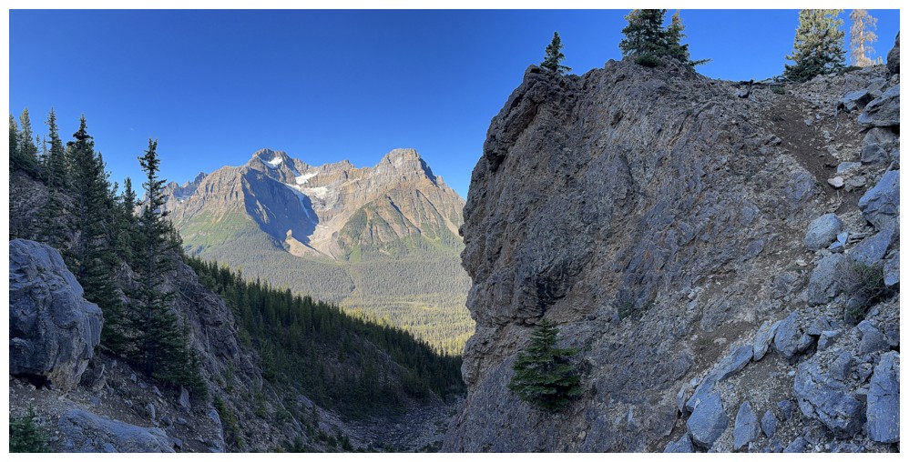
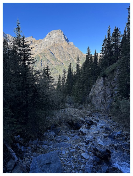
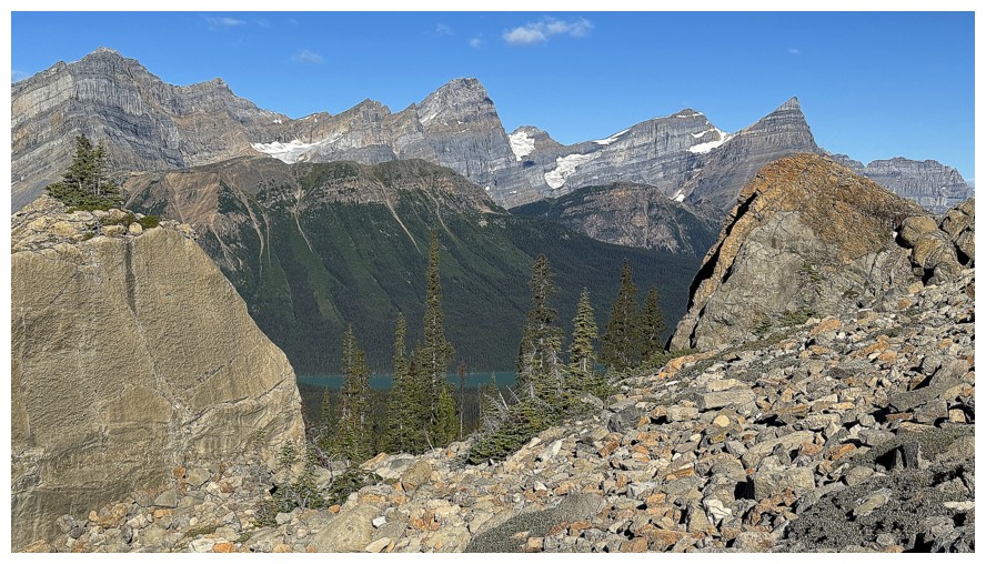
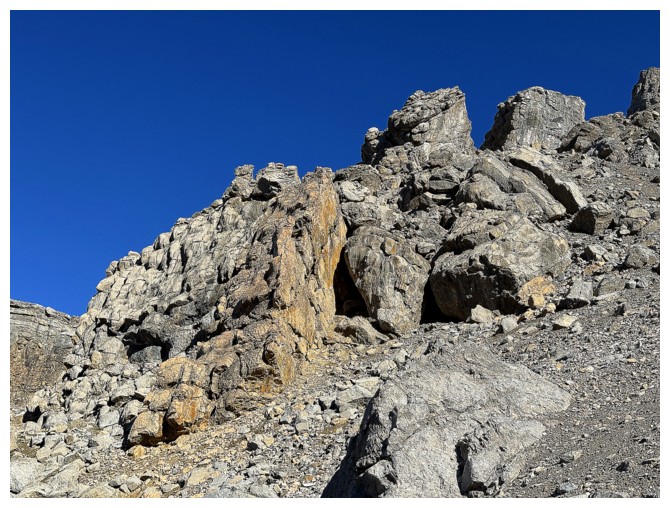
First sign that there's some beautiful rock along the way
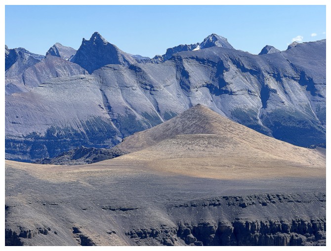
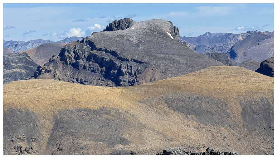
Breaker Mountain
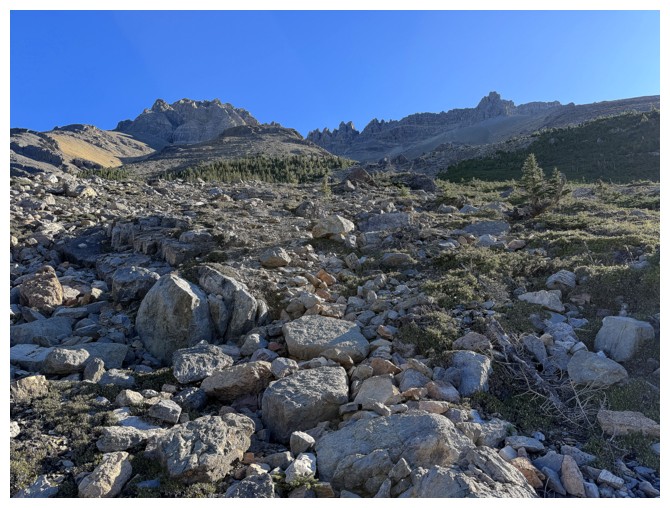
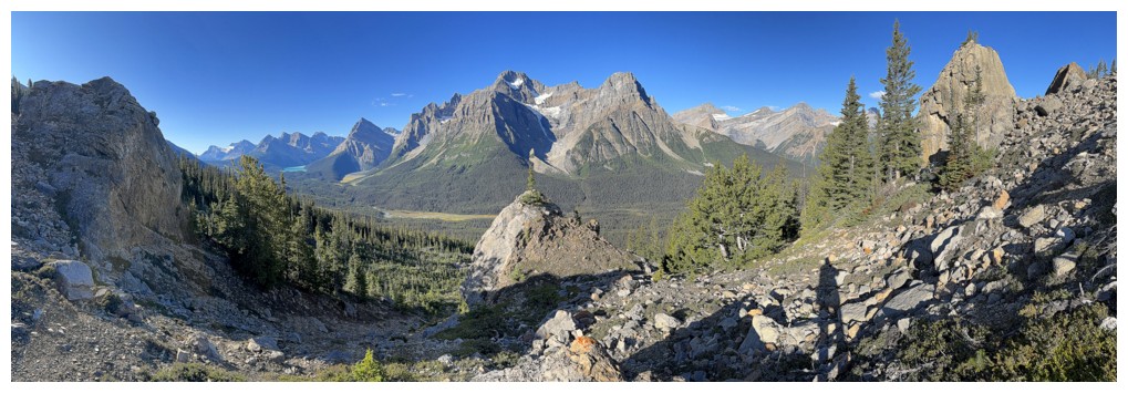
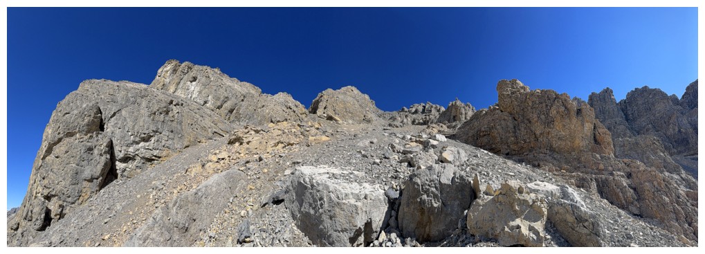
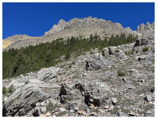
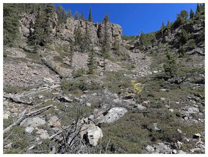
Once above the treeline the route becomes fairly obvious
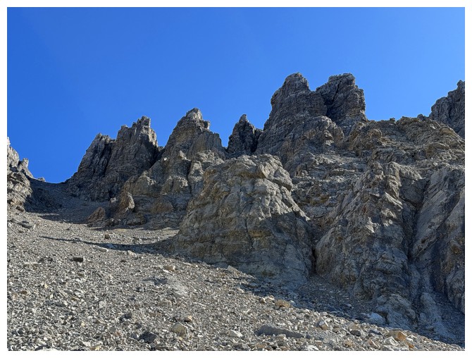
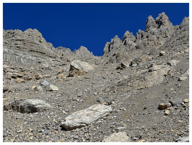
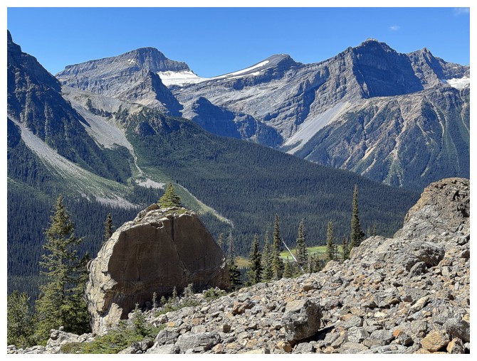
Lots of boulders and pinnacles to keep things interesting
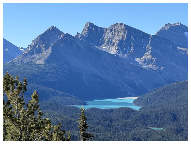
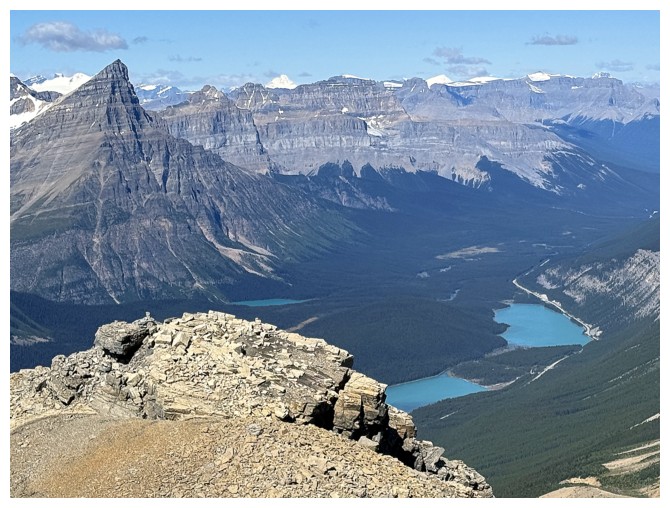
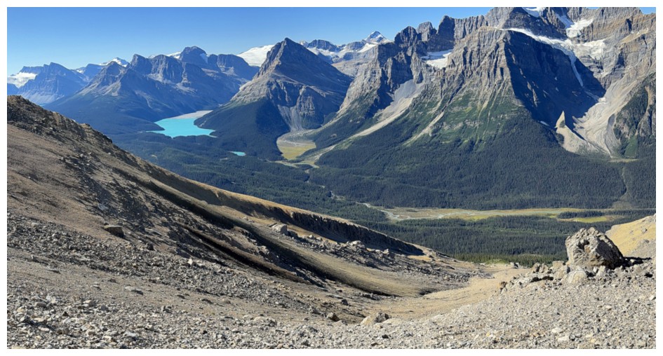
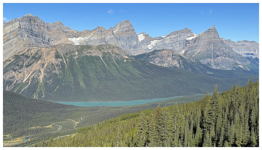
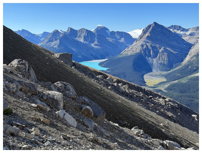
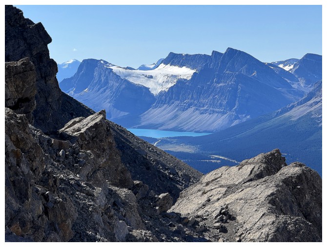
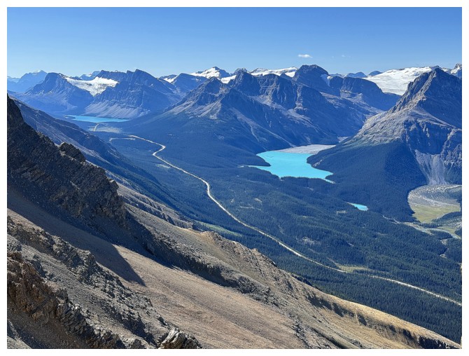
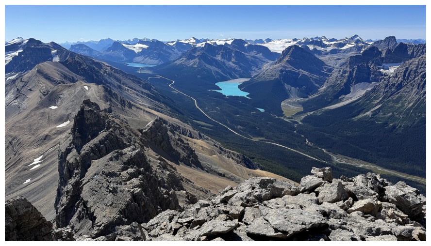
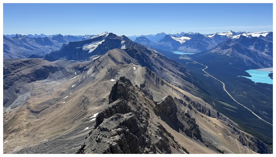
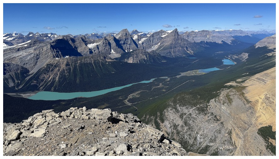
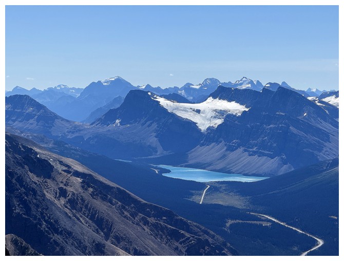
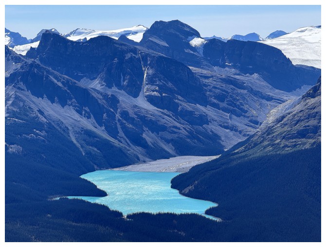
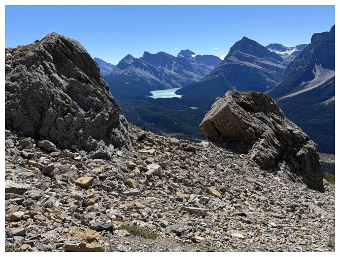
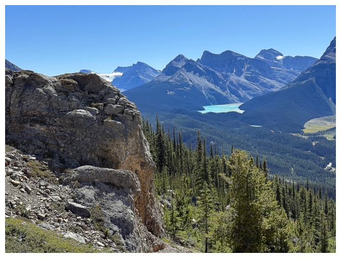
Peyto Lake, with West Bow Peak (left) and Mount Jimmy Simpson (centre) towering over the lake
The view to the west is going to be magnificent
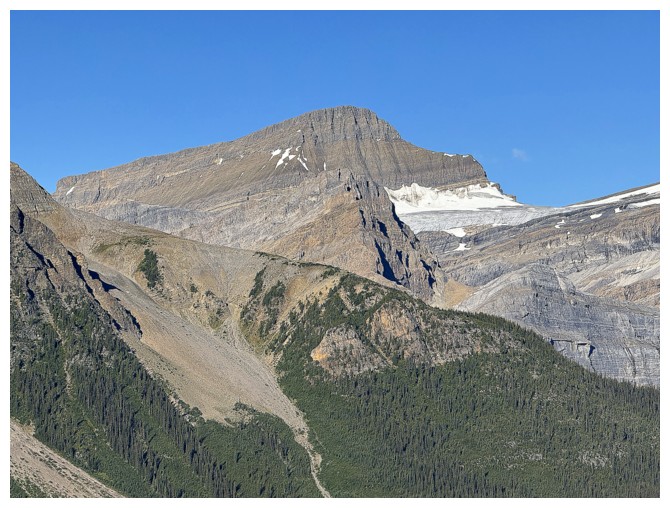
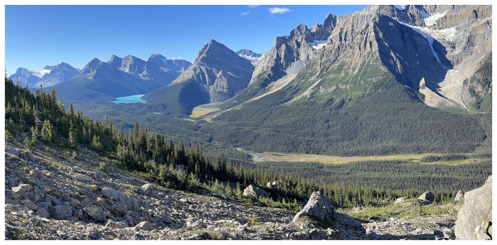
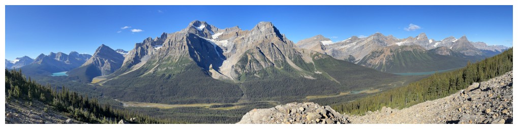
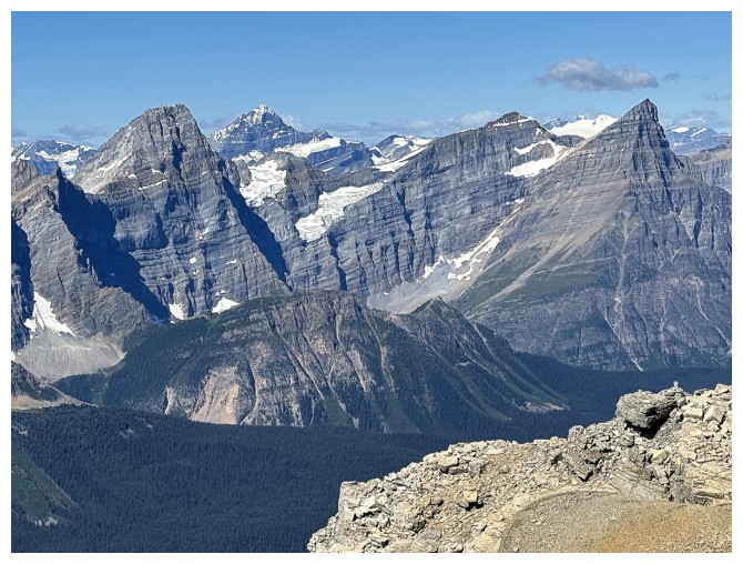
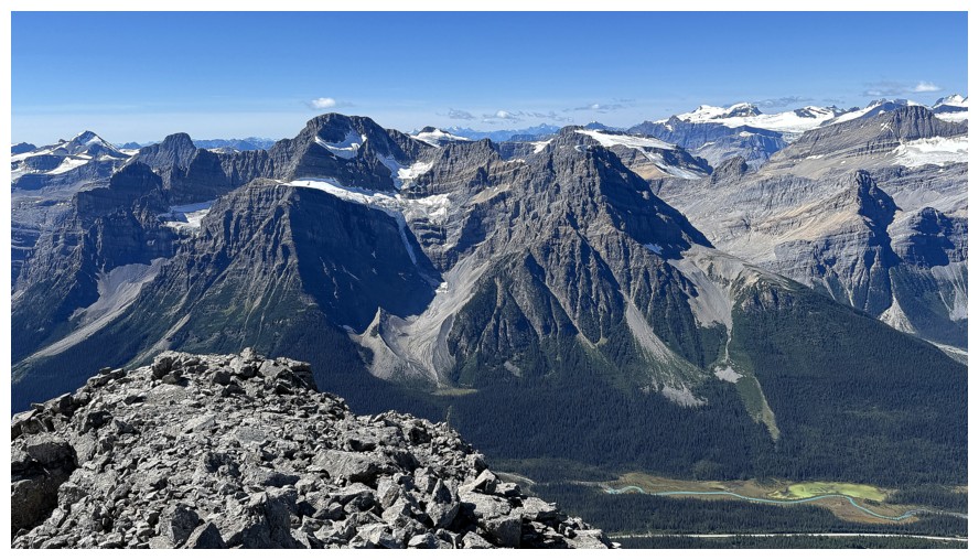
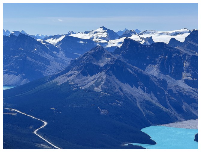
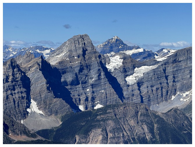
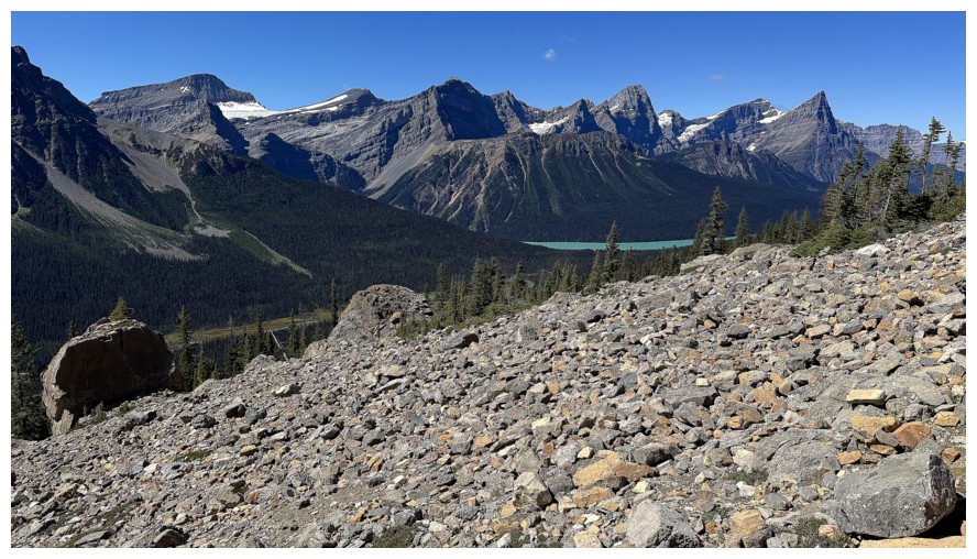
Howse Peak, White Pyramid, and Mount Chephren tower above the Waterfowl Lakes to the northwest
The route goes straight up and then veers to the left
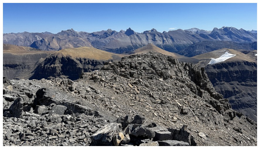
Caldron Peak (just left of centre) is on the to-do list
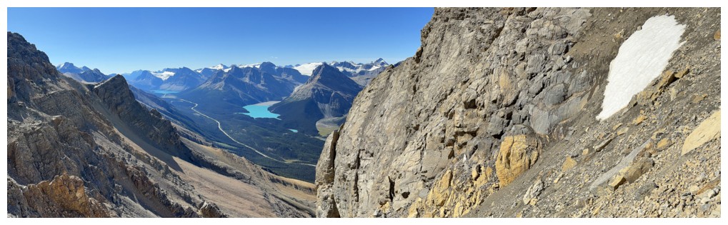
The killer view to the west is getting more killer!
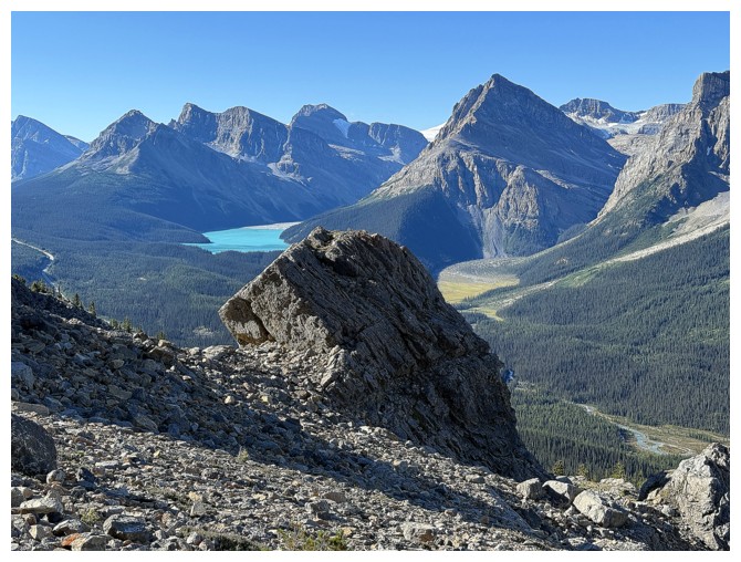
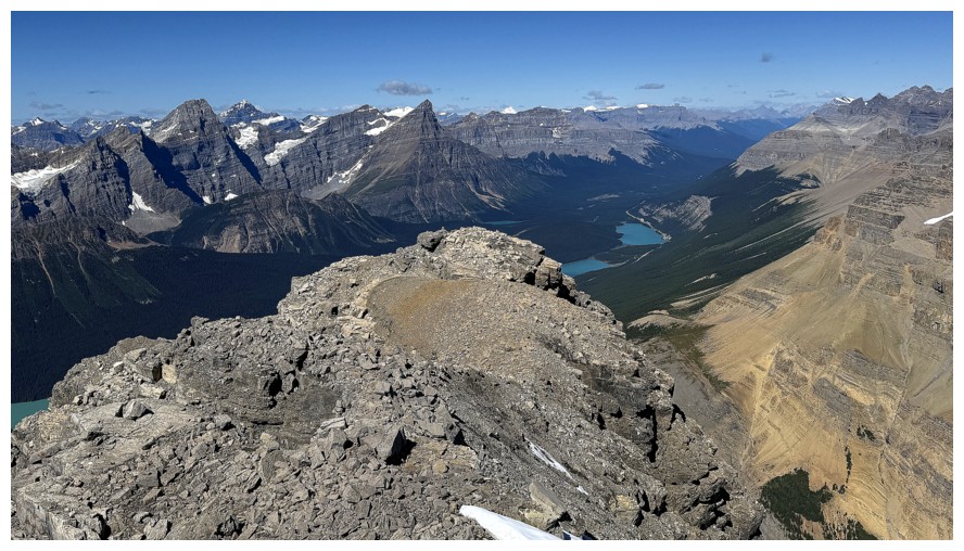
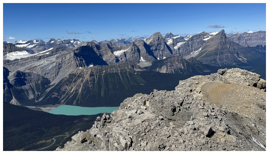
Improving views of one of the Waterfowl Lakes
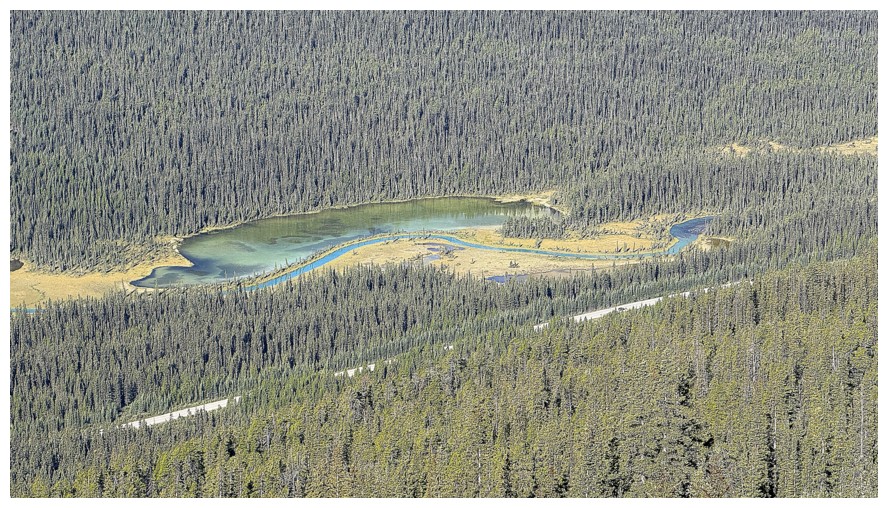
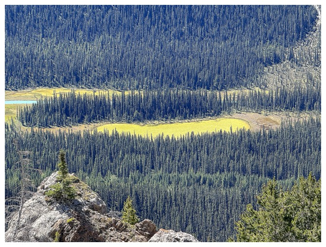
One of many colourful tarns alongside the Mistaya River
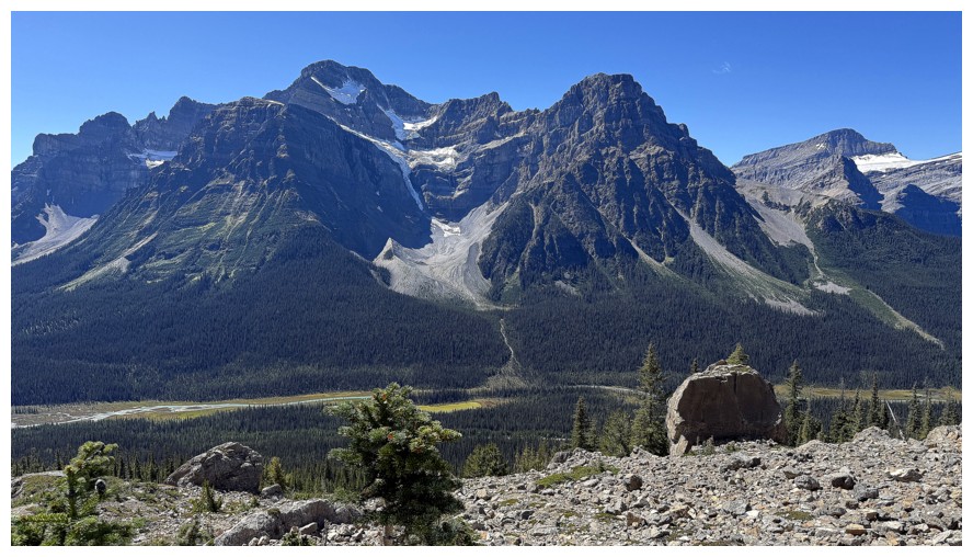
White Pyramid and Chephren
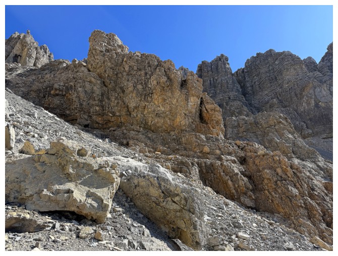
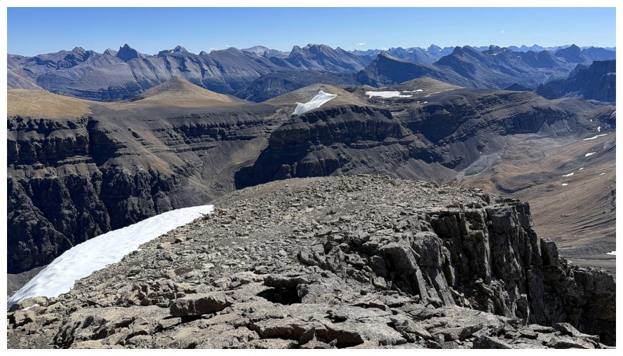
Veering left towards the break in the upper cliffs
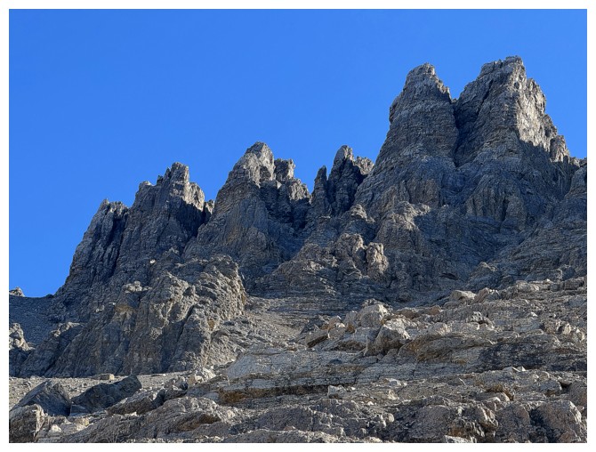
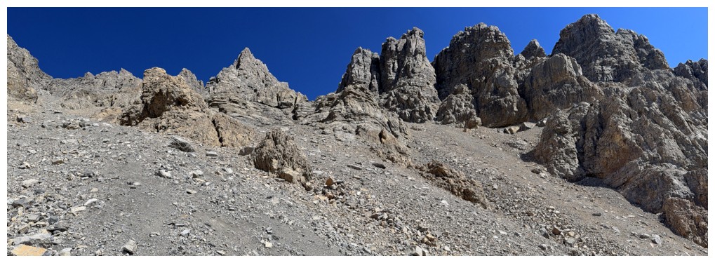
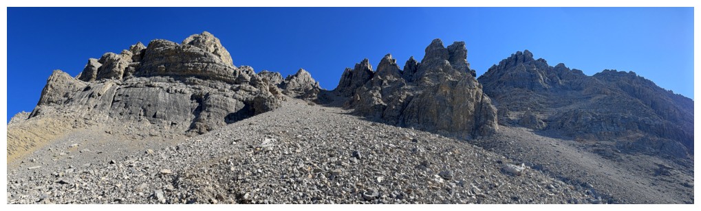
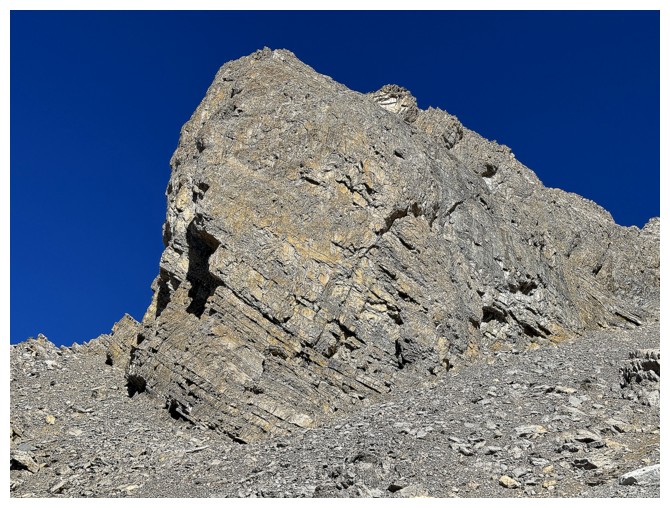
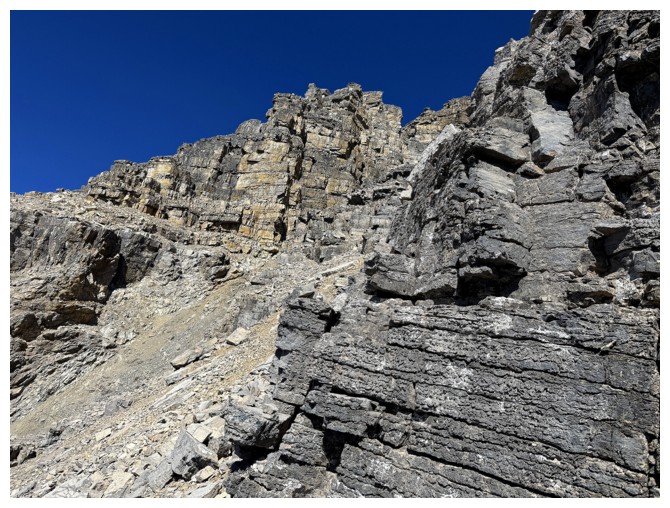
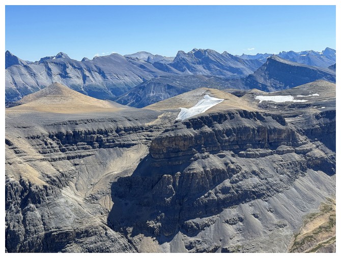
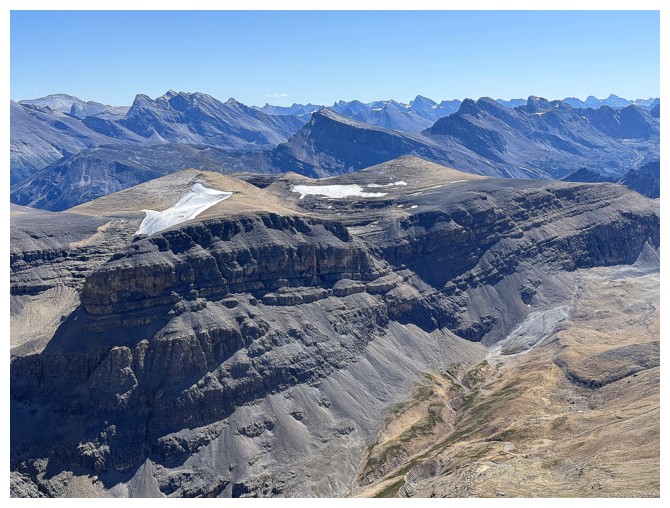
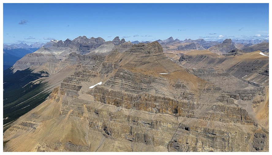
The upper cliffs and pinnacles are super impressive
As is much of the rock before the upper slopes are reached
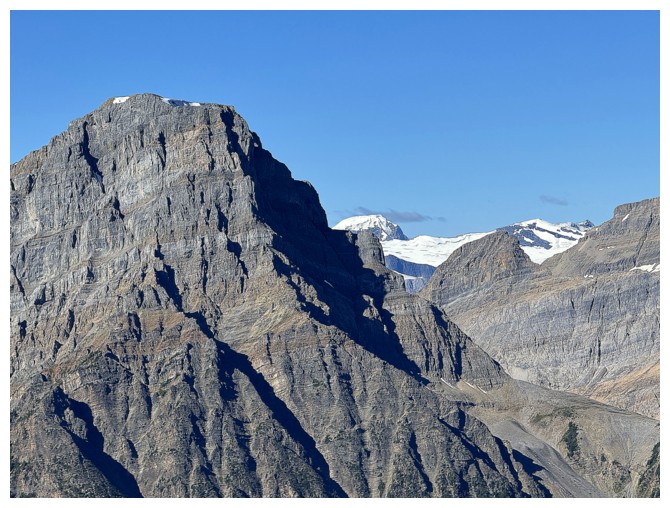
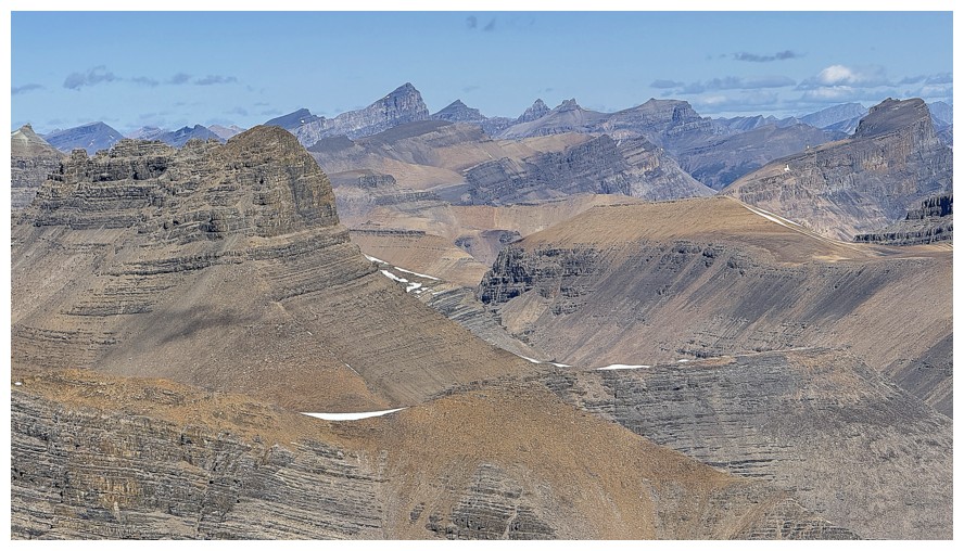
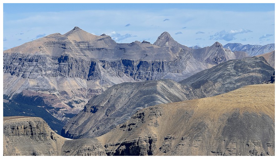
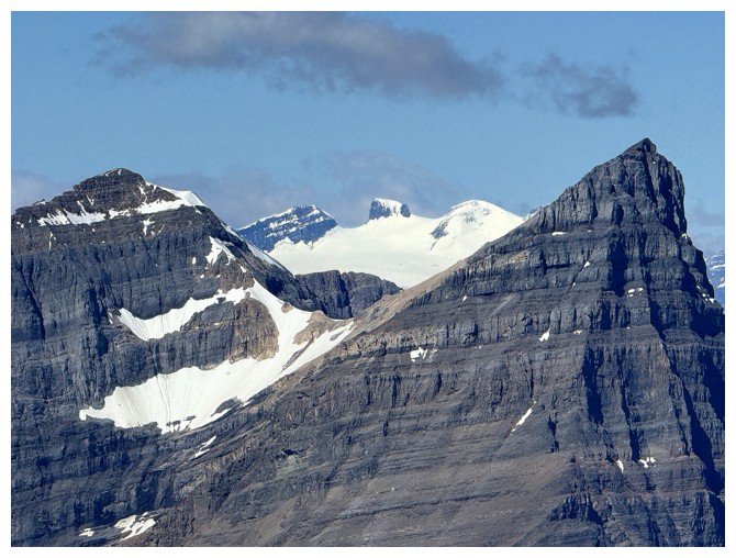
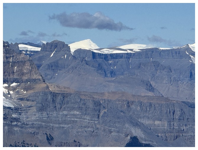
Patterson, with Barbette Mountain in the distant centre
Barbette
???
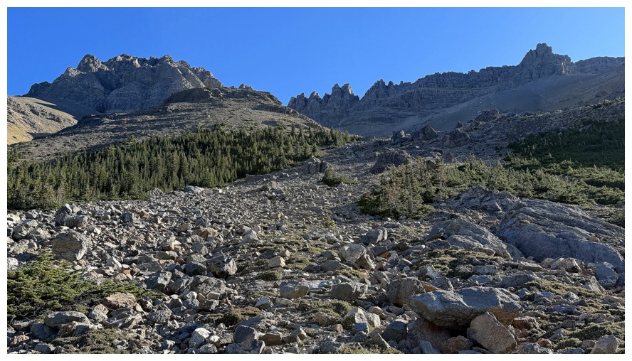
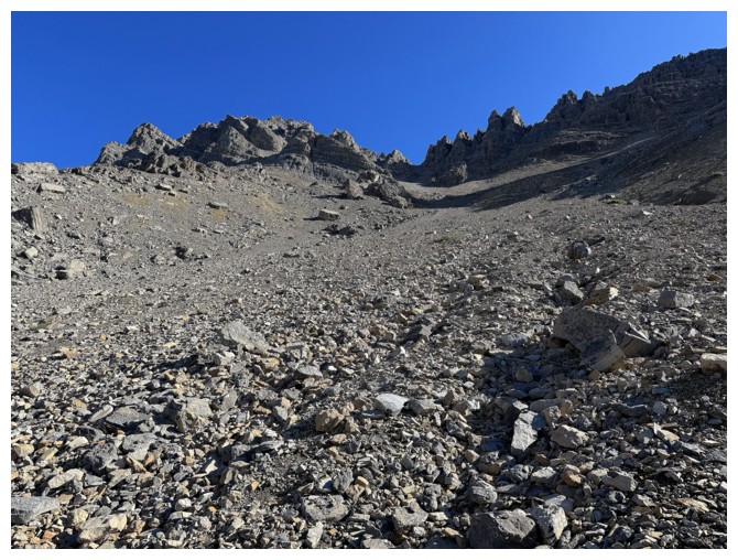
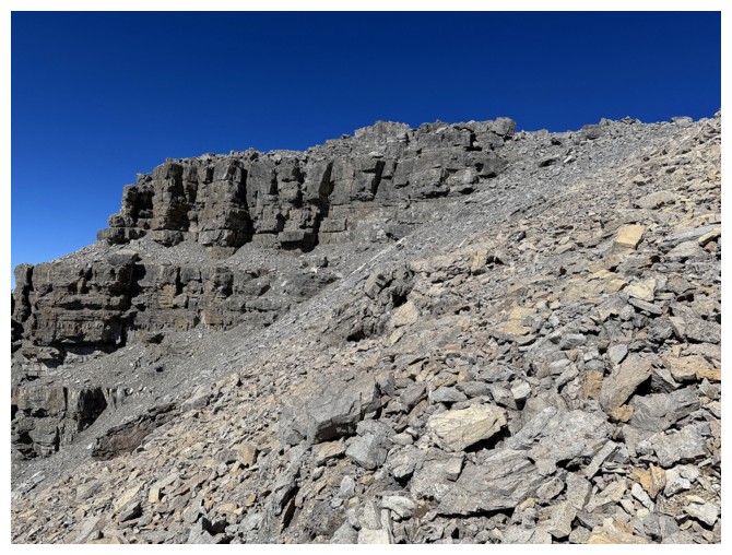
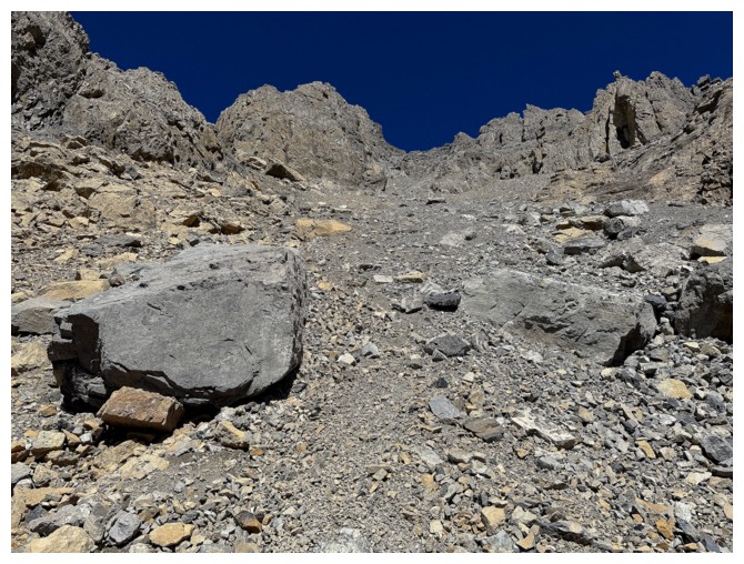
Still tramping up scree and rubble slopes
The view to the west retracts a little as you move into the ascent gully
Crowfoot Mountain above Bow Lake
Rock on the left side
Rock on the right side
All of it
Both Bow and Peyto lakes are now visible
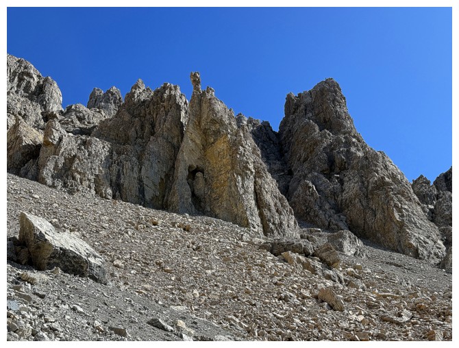
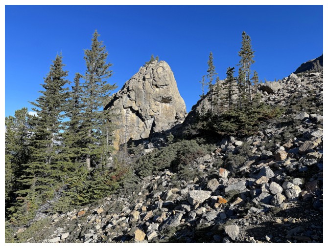
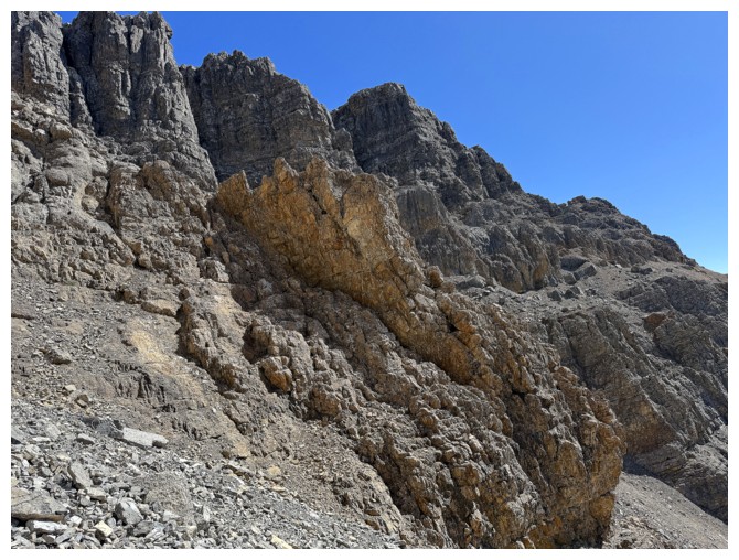
One of the coolest rock formations
Limited but very cool view from within the confines of the gully
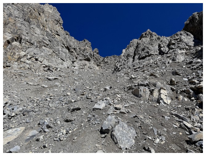
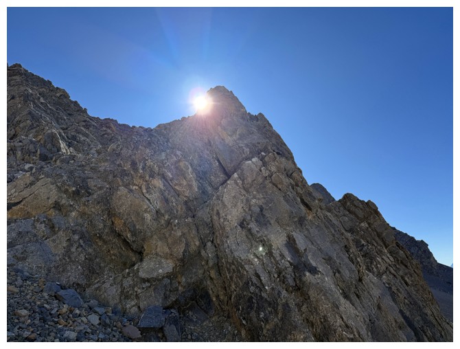
Looking up the route. It's quite steep.
Exploring to the right to avoid an icy patch near the top of the gully
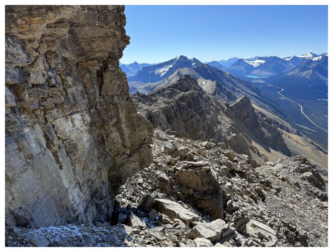
Near the south ridge looking south
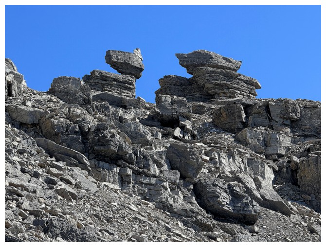
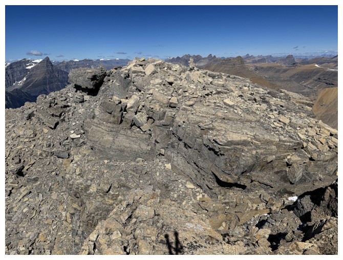
Impressive balancing act on the ridge
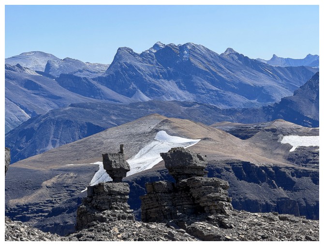
On the south ridge looking east at the balancing act and a host of interesting peaks
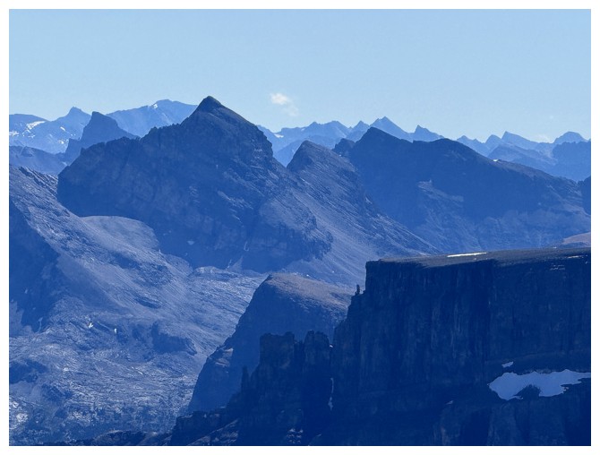
The summit is over to the left
Second minor detour of the trip to check out the east side

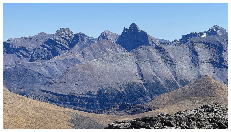
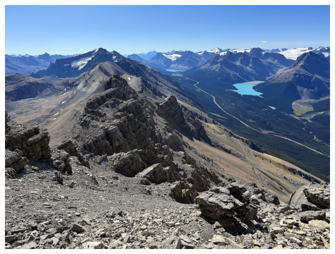
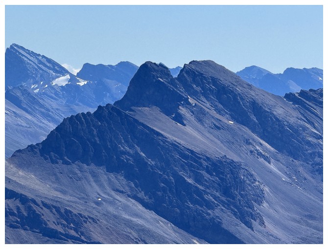
Better view of the ridge to the south. Silverhorn Mountain and Observation Peak are part of the same massif.
More to the south-southwest
West
Heading to the summit
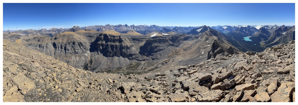
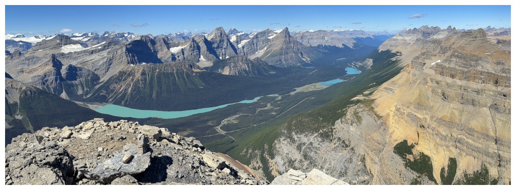
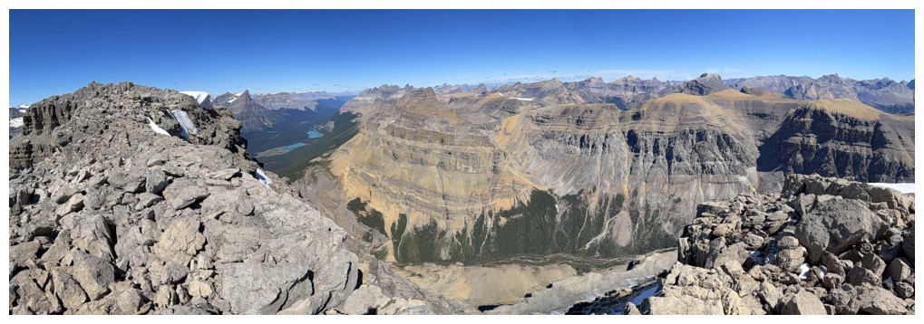
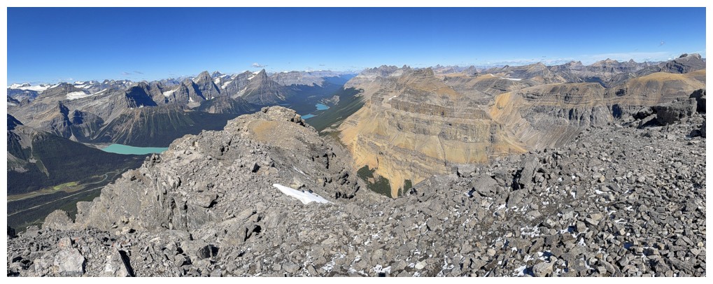
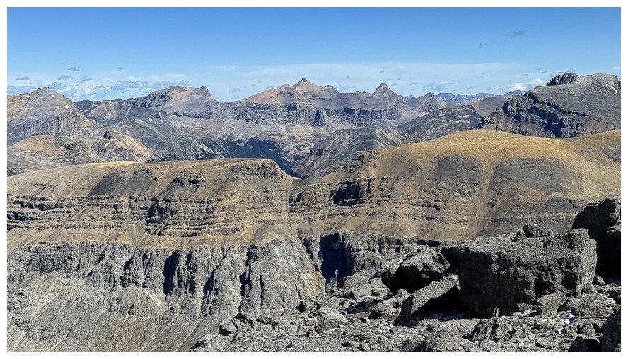
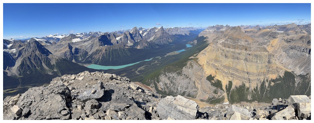
Pano to the east
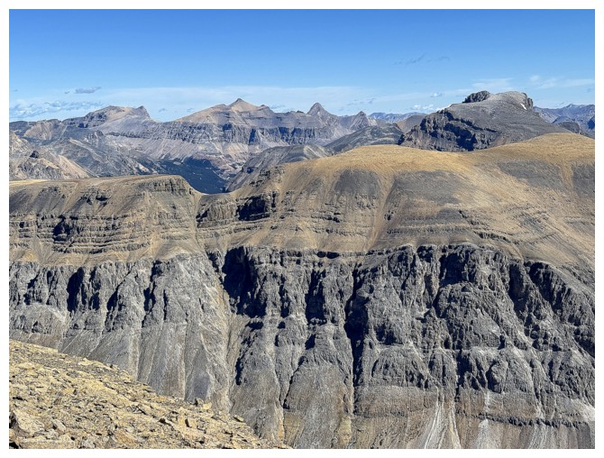
The contours and colours to the east are always a source of amazement in this neck of the woods
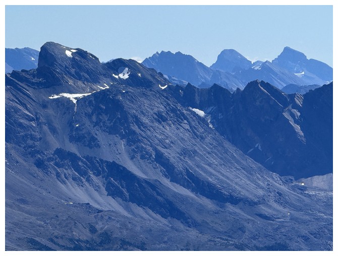
Conical Peak in the foreground and Recondite Peak at the left
Quill Peak at the right
Northeast
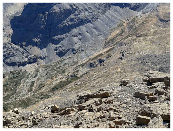
Looking down to the intriguing valley to the east of Weed
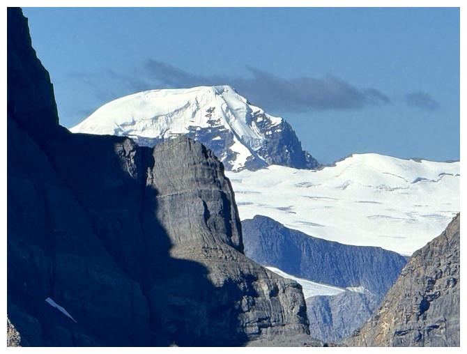
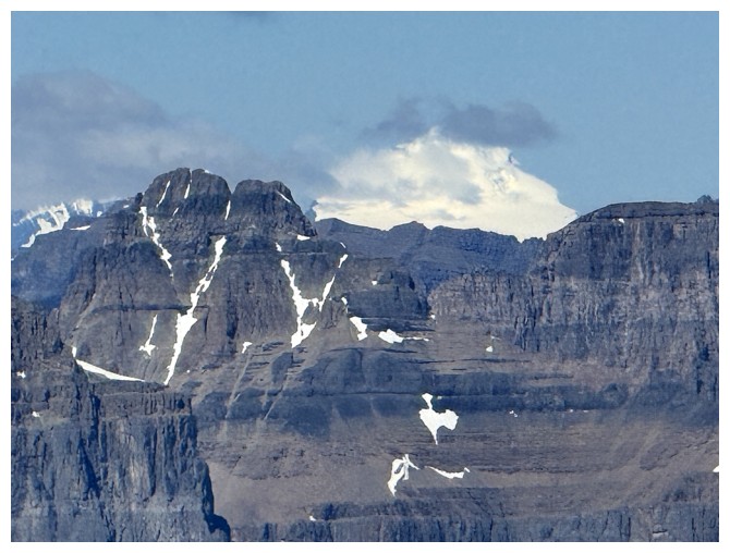
Big snow bank and the complex Murchison massif to the north
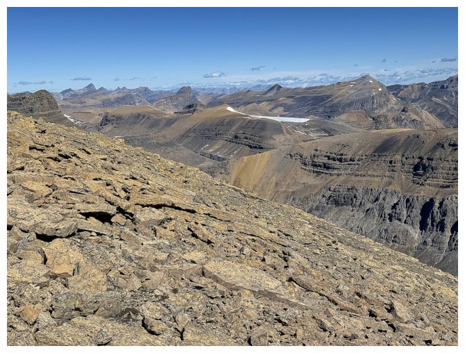
Still not at the summit, but views are stunning and I can't help myself
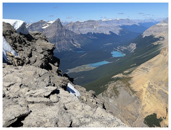
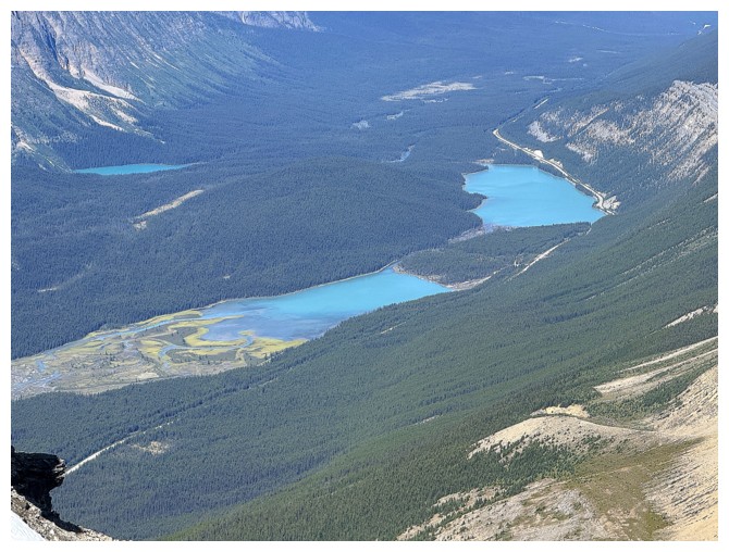
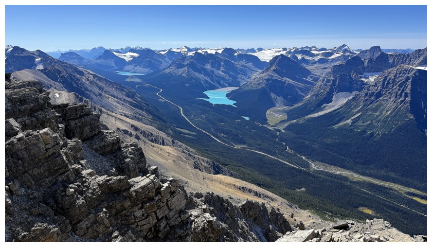
Both Waterfowl lakes and Chephren Lake are now visible
Close-up
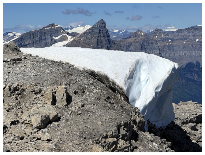
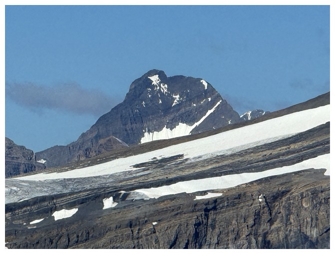
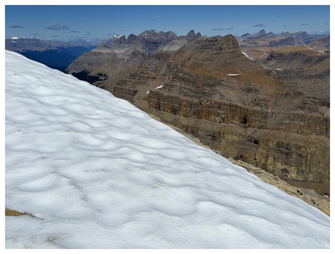
Another snow feature
Small glacier on the northeast side of Weed
Steps away from the top
At the true summit
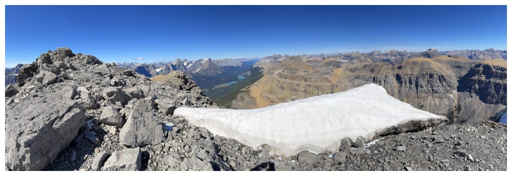
Summit panos and views
Mount Forbes (just right of Howse at the left) has "entered the building"
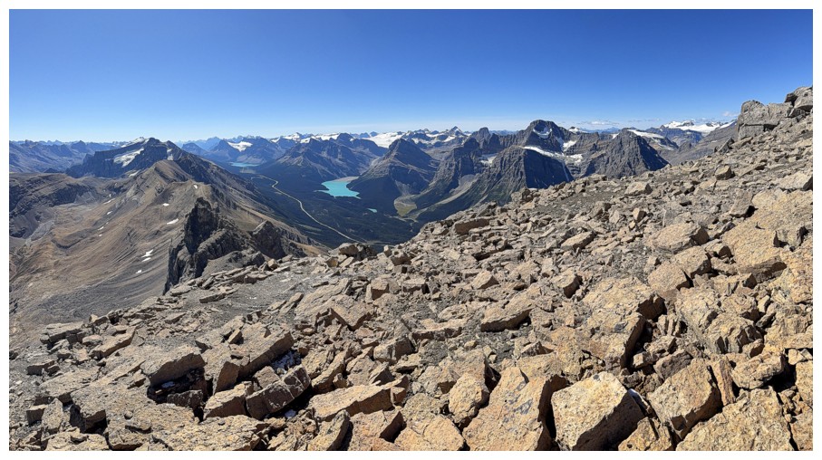
Would be nice to see how the Waterfowl Lakes and Mistaya Lake connect
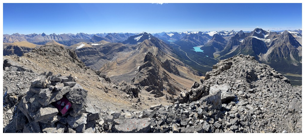
The south end of Mistaya Lake
Cool stuff to the east
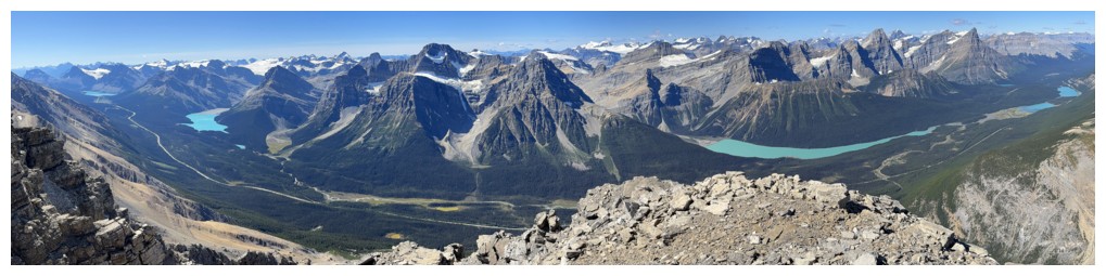
Cool stuff to the north also. Mount Murchison near the left.
Mount Cline, just left of centre and Resolute Mountain to Cline's right
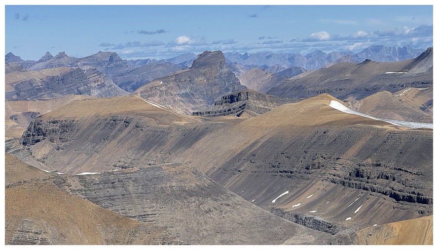
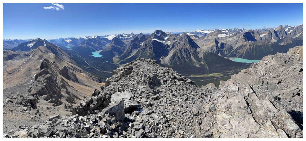
Distinctive Corona Ridge in the centre
Iceface Peak in the foreground
Quill Peak
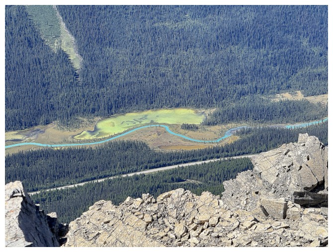
The colourful Mistaya River
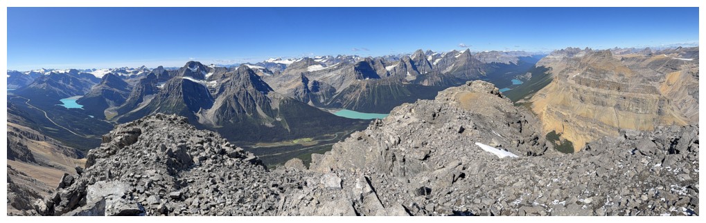
Descending the northwest side for a short distance to get a better views of some of the lakes
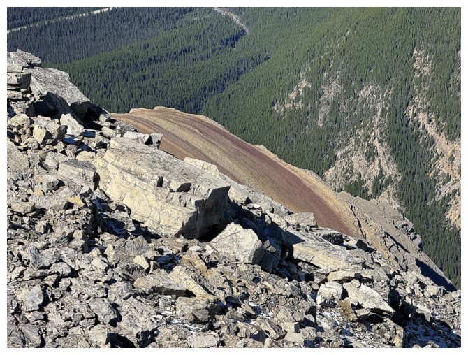
The stripes of burgundy and light brown rock that are a feature of Silverhorn Mountain also
All of northwestern lakes
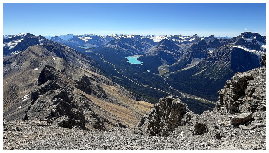
ALL of the major lakes: Bow Peyto, Mistaya, Waterfowl
Closer look at the northwestern lakes
The southwestern lakes
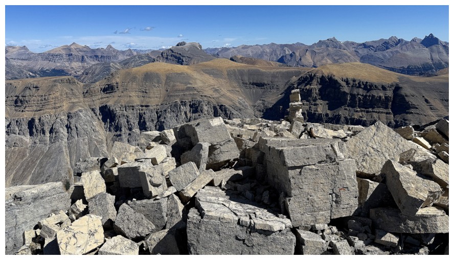
There's even a small cairn here too
Mount Balfour
Mount Temple near the left
Peaks of the Waputik Mountain range
Howse and Forbes
Three of the five Lyells, between White Pyramid and Chephren
North Twin, just left of centre
Lyells 2, 3, and 4
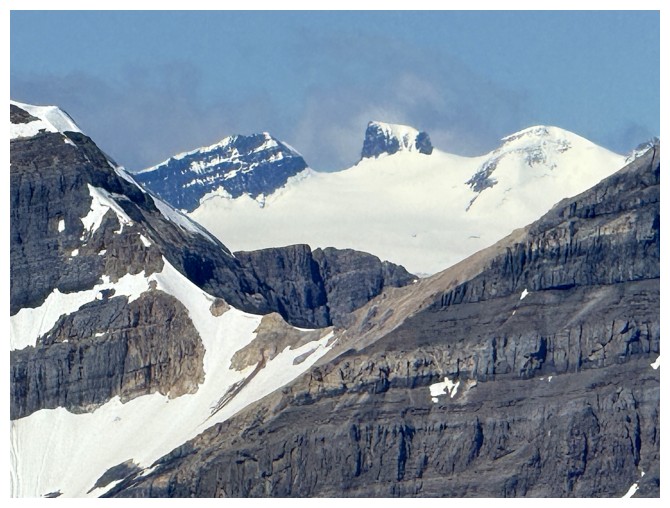
Mount Columbia in the clouds
Back to the panoramic views
Bobac Mountain
Watermelon Peak at the left
OXO Peak (left of centre), OX Peak (centre), and Noseeum Mountain (just right of centre)
Descending
Peyto Lake continues to shine
The bluest skies of the day
All those cool pinnacles again
Back to the big boulder section
Bye-bye Weed
Get to enjoy those sweet views all the way down
Another tarn alongside the Mistaya River
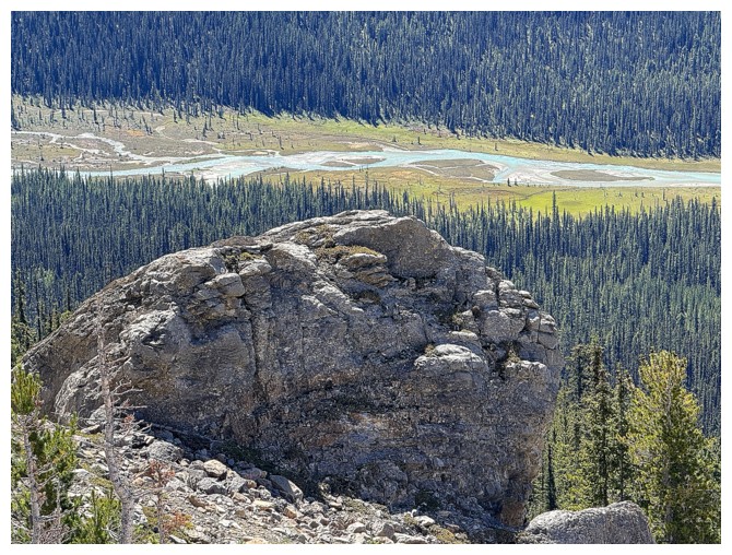
The river and a rock outcrop
Back in the ascent drainage
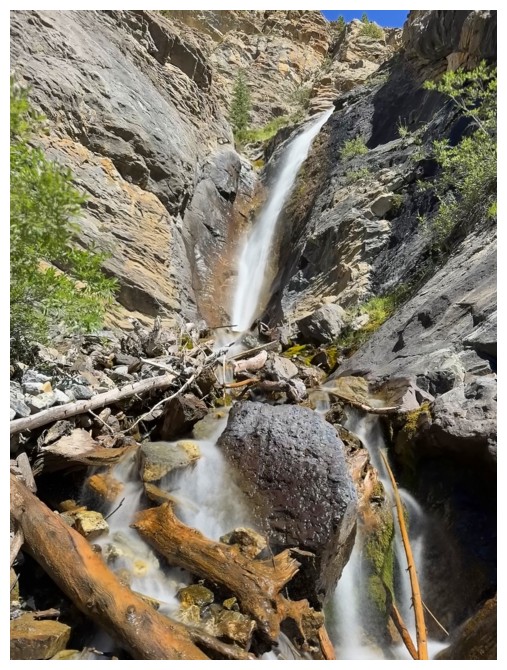
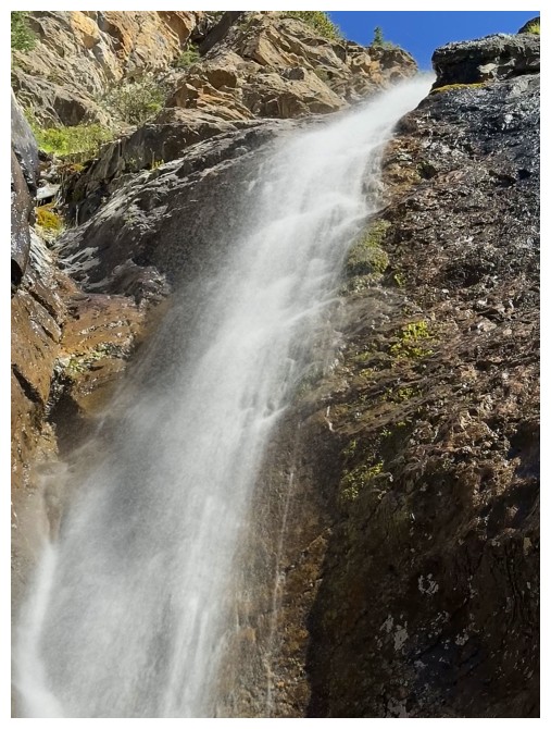
Another visit to the waterfall is going to happen, now that the Sun is in the west

The end of the day view of Weed looks considerably different than the start of the day version
The End
LOG