Akamina Ridge III
Akamina Minor
September 18, 2024
Mountain heights: 2575
m, 2520 m
Total elevation gain: approximately 1300 m
Ascent time to
Akamina Ridge: 2:40
Traverse time
to Minor: 0:50
Descent time: 2:50
Round-trip
time: 6:35
Solo scramble.
I don’t know
what I was thinking when I decided to try this route on a less than perfect
weather day and only a week before larch season would potentially be upon us.
If I ever repeat Akamina Minor (a distinctive outlier, southwest of Akamina Ridge), those two criteria will have to be filled.
 An always
exhilarating bike ride to Wall Lake preceded the actual ascent. Although the
route via Forum Lake is probably the best one to the summit of Akamina Ridge,
this trip was all about trying to beat the incoming clouds and potential
thunderstorms.
An always
exhilarating bike ride to Wall Lake preceded the actual ascent. Although the
route via Forum Lake is probably the best one to the summit of Akamina Ridge,
this trip was all about trying to beat the incoming clouds and potential
thunderstorms.
To achieve that
goal, upon reaching Bennett Pass, I decided to skip the first highpoint and
then side-slope to the ridge between the summits of Akamina Ridge and Akamina Minor.
This second decision didn’t quite pan out and soon I was unexpectedly on the summit of
Akamina Ridge instead.
The
descent of
Akamina and ascent of Minor was far from a pushover, requiring lots of
route-finding and traversing across exposed ledges. Doug Lutz had
completed this route some time ago and had thankfully referenced the
difficulties. I did spot a potentially
easier route for descent, however one that would require all and more
of the
side-sloping trauma I had bailed on earlier.
 Perhaps the
biggest surprise of the day was arriving at the summit to find the view, in a
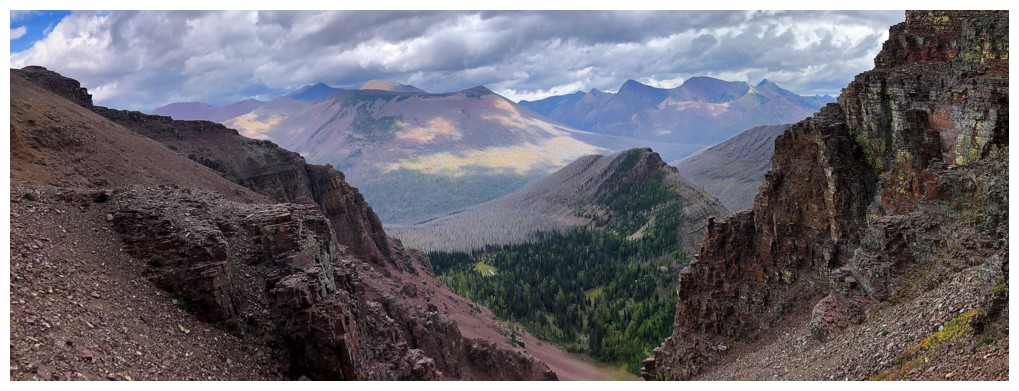
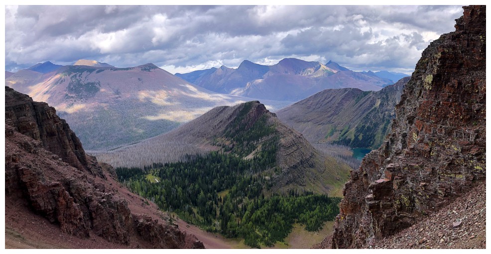
few ways, was superior to that from the summit of Akamina Ridge. This was
mainly due to the partial appearance of Upper Kintla Lake, below stunning
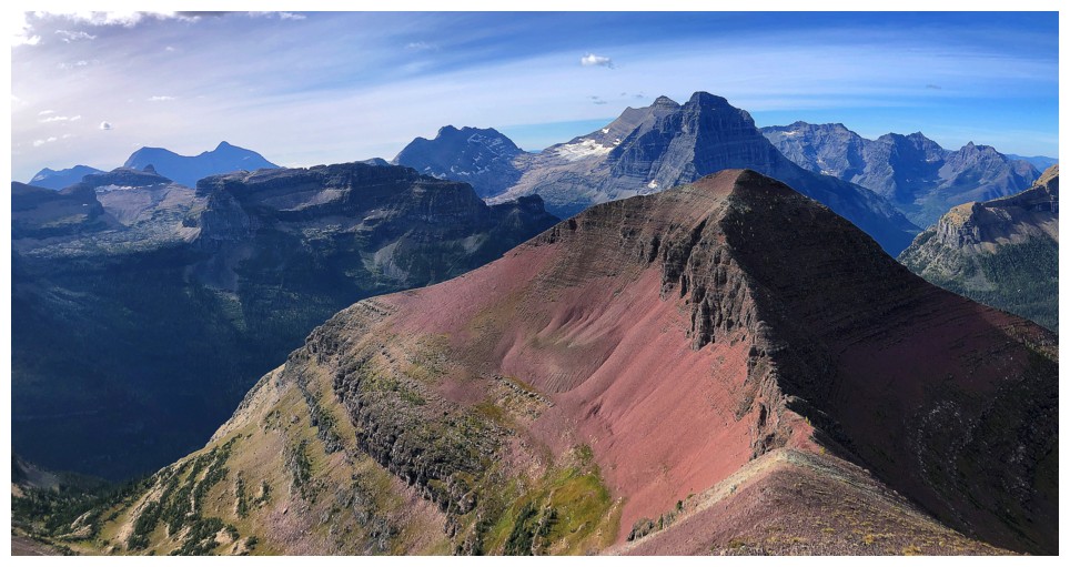
Kinnerly Peak. The beautiful red form of Akamina Ridge and striking view of
Long Knife Peak also had my camera working overtime.
Perhaps the
biggest surprise of the day was arriving at the summit to find the view, in a
few ways, was superior to that from the summit of Akamina Ridge. This was
mainly due to the partial appearance of Upper Kintla Lake, below stunning
Kinnerly Peak. The beautiful red form of Akamina Ridge and striking view of
Long Knife Peak also had my camera working overtime.
Not
crazy about
the idea of having to retrace my steps across the exposed sections, I
did take
the alternate return route. It involved descending a long gully all the
way to
a point below all the difficulties, then traversing past them and back
up to
the ridge. The route worked very well, but was definitely going to add
some elevation gain to the day. Once past the exposed sections I
probably should
have regained the ridge between the summits and sucked up the extra
gain to the summit of the Ridge.
Instead, I decided an upward, side-sloping slog to the ridge between
Akamina
Ridge and its western outlier to save some energy. Hard to say if it
did, but an
aesthetic thing of beauty it was not!
I did manage to
shave some horizontal distance off the descent by shortcutting down a scree
gully and eventually back to the Bennett Pass Trail. As always, the 5.2 km bike ride
from Wall Lake to the trailhead was just plain fun, taking only 21 minutes.
I’ll be back to
try this route again in 365n + 7 days, n E W.
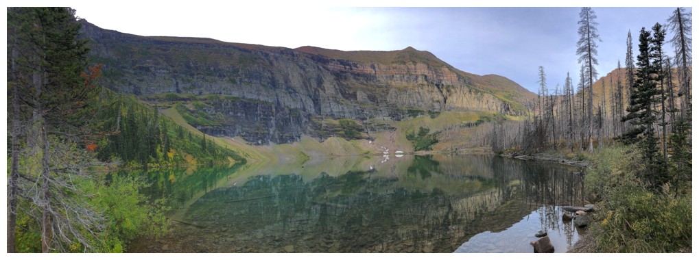
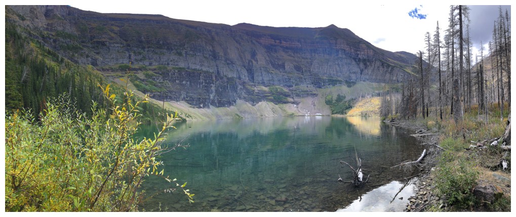
Wall Lake
Bennett Pass Peak - great little objective if time is not in abundance

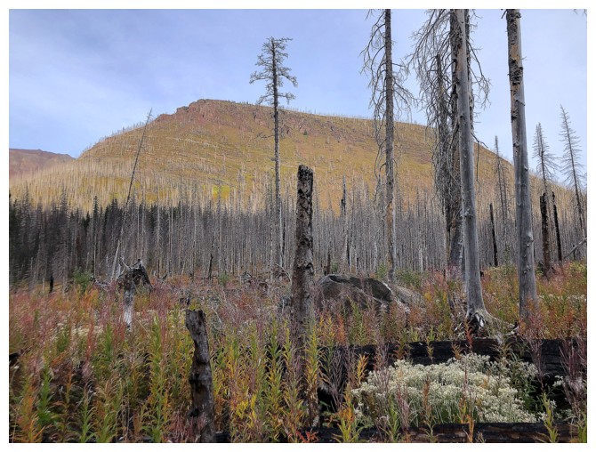
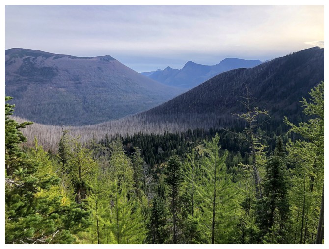
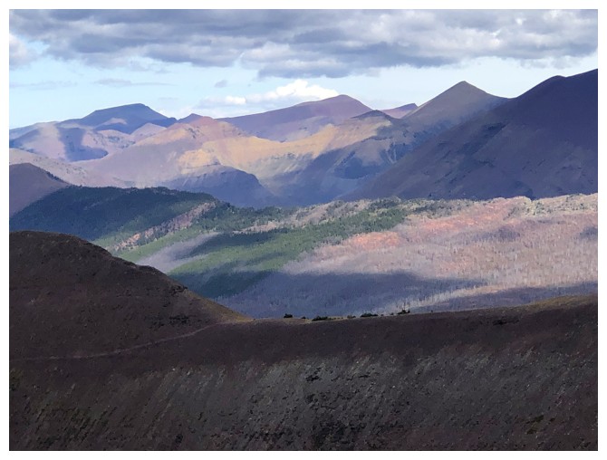
Results of the Kenow fire
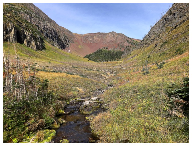
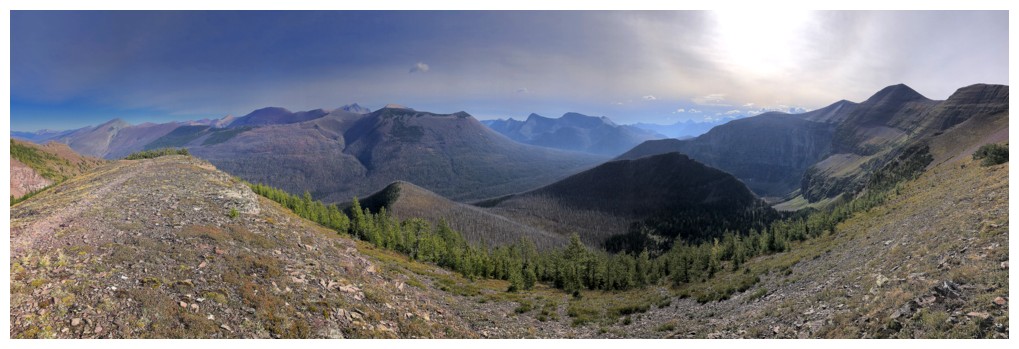
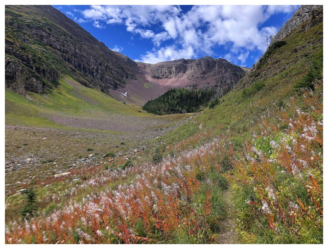
Continuing up the valley
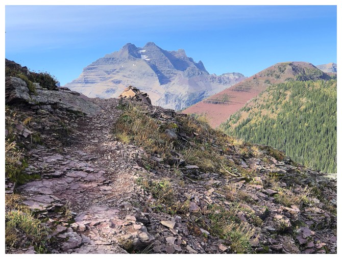
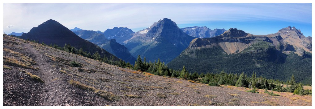
Tempting to try a direct route up to the summit of Akamina Ridge from here
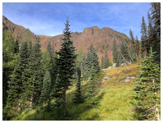
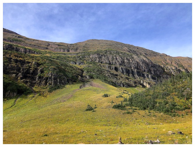
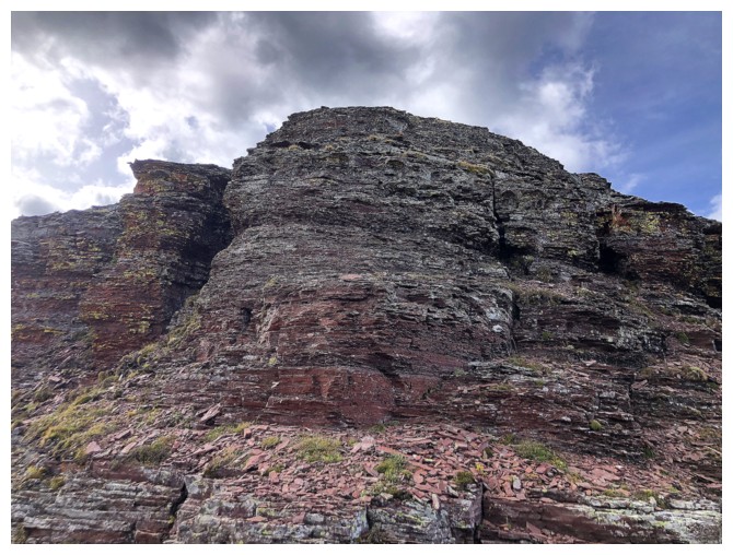
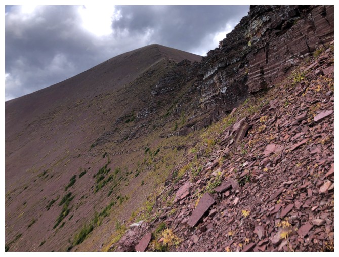
Some of the brilliant red rock above Bennett Pass
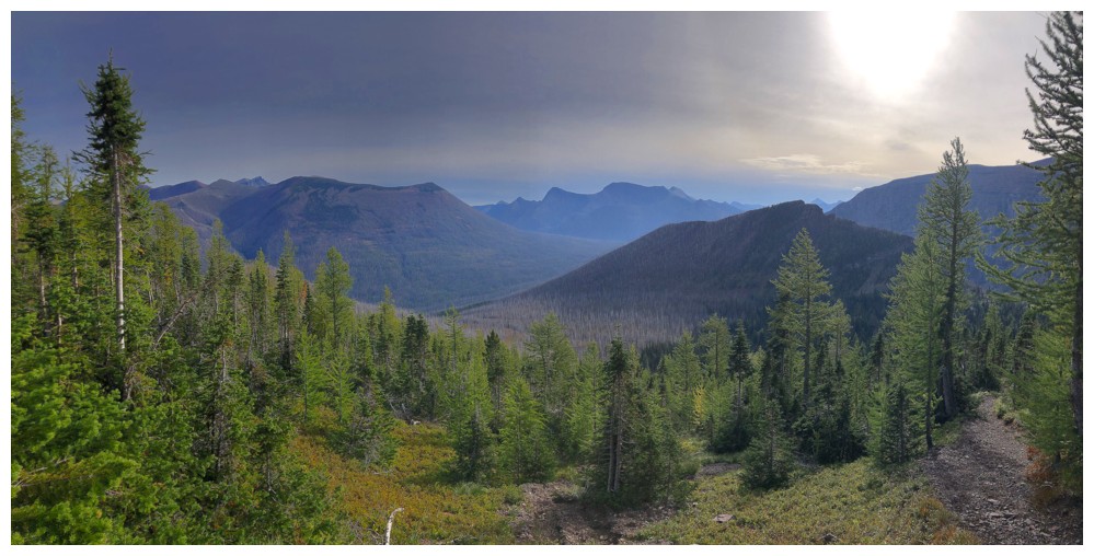
Cloudy and hazy skies, but still cool
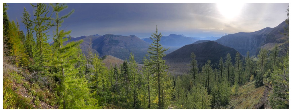
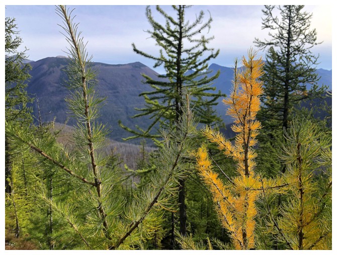
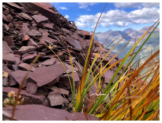
Lots of green larches begging to be yellow!
Someone's wish was granted!
Approaching the pass, Long Knife Peak immediately grabs your attention
So does Bennett Peak
At the pass
Long Knife Peak
Still that hazy view to the east
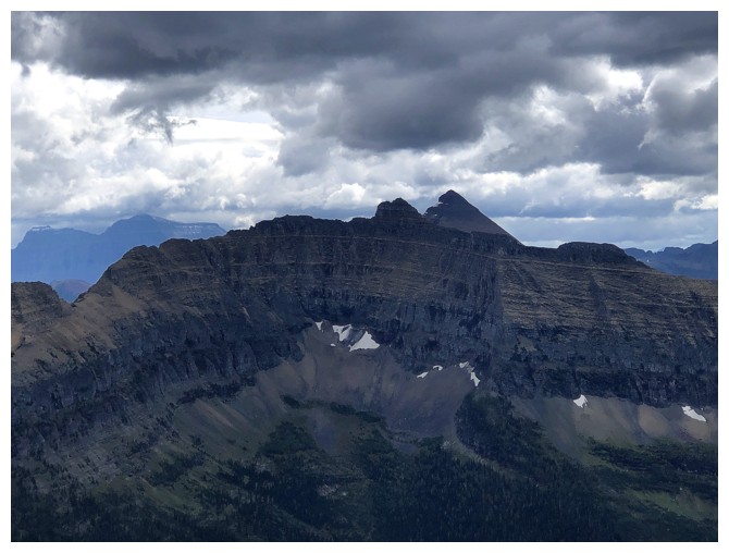
The highest point of Kishinena Ridge, unofficially called See Peak. Rick Collier, Mardy Roberts, and Paul Roberts ascended it in 2001.
Blue skies prevail to the northwest
But not to the southeast
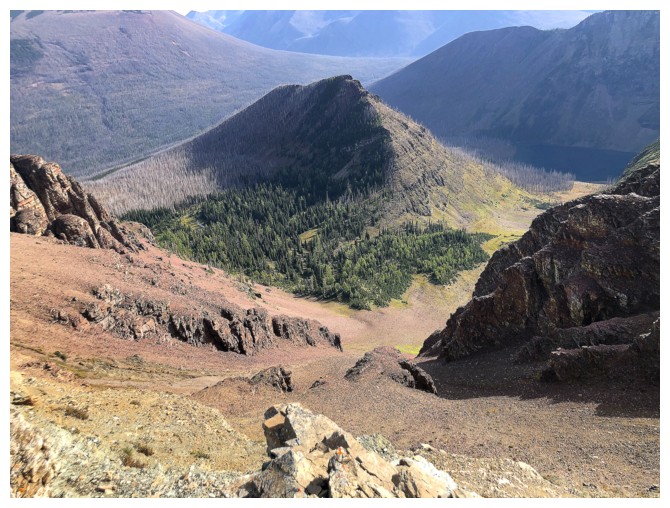
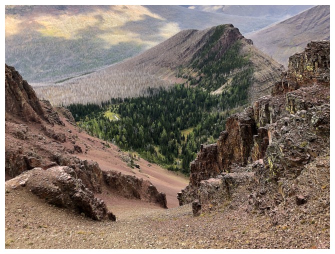
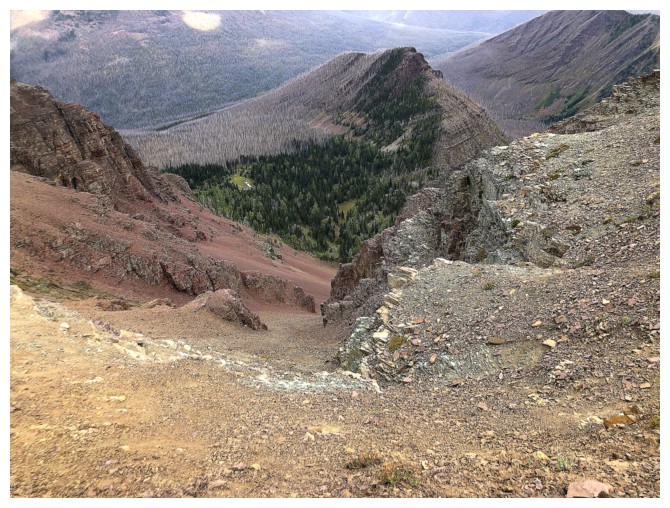
Looking down the gully I used on return. Bennett Pass Peak definitely stands on its own.
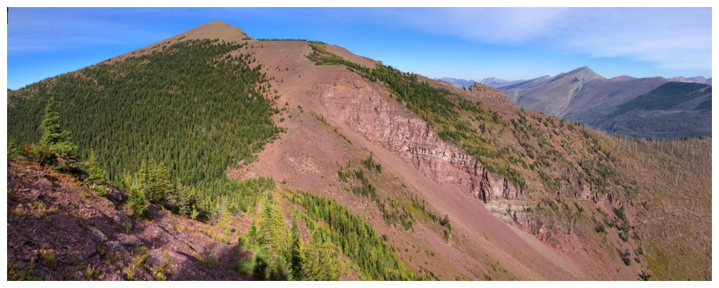
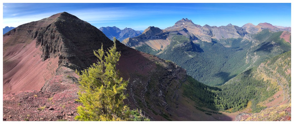
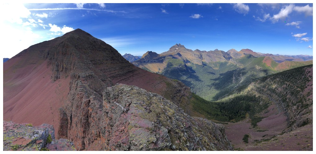
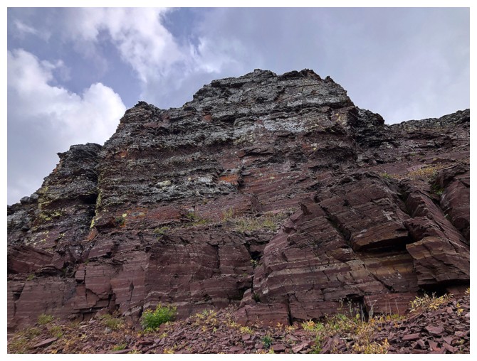
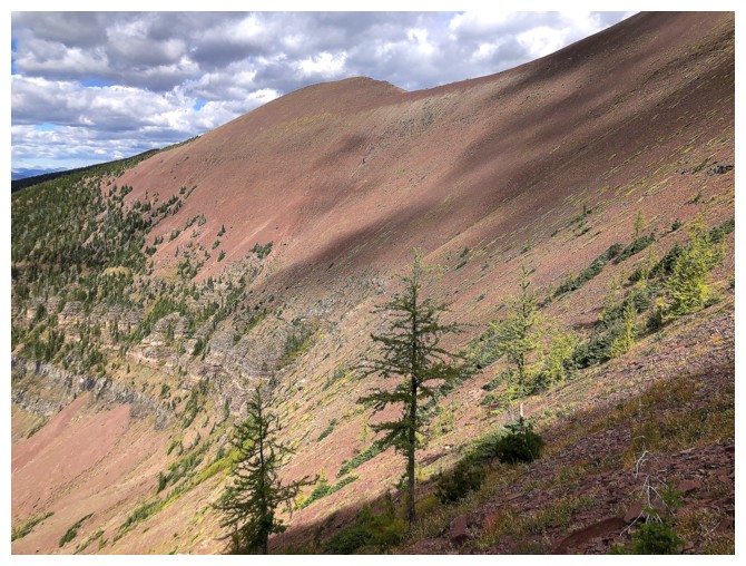
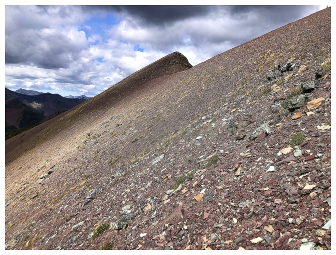
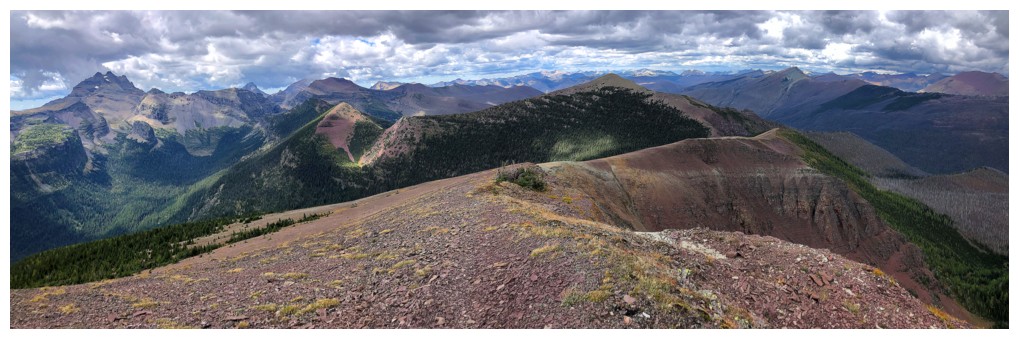
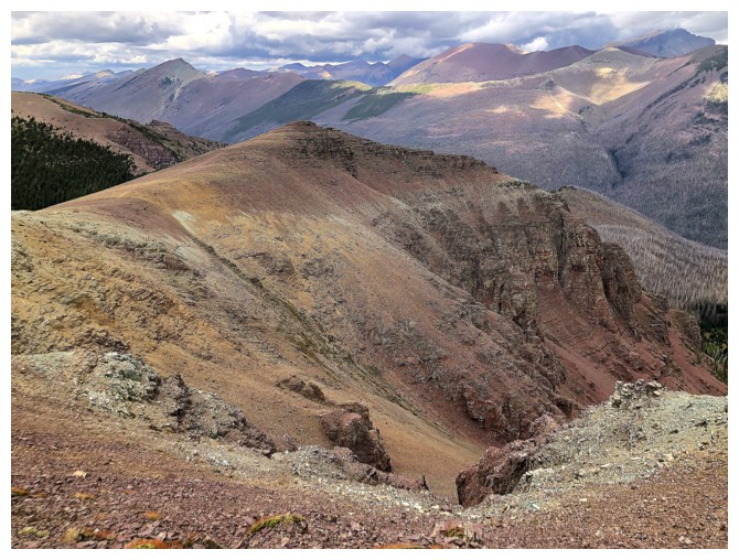
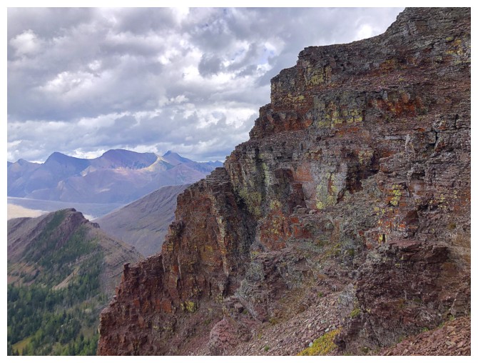
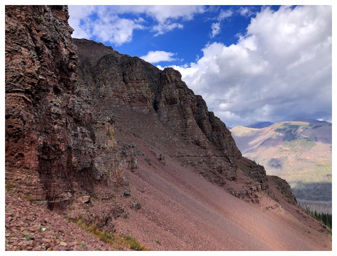
The coolest rock colours occur here, between Bennett Pass and the first outlier of Akamina Ridge
Same as above. The red peak near the left is part of a wonderful continuation of Akamina Ridge to the west, described by Mike Potter
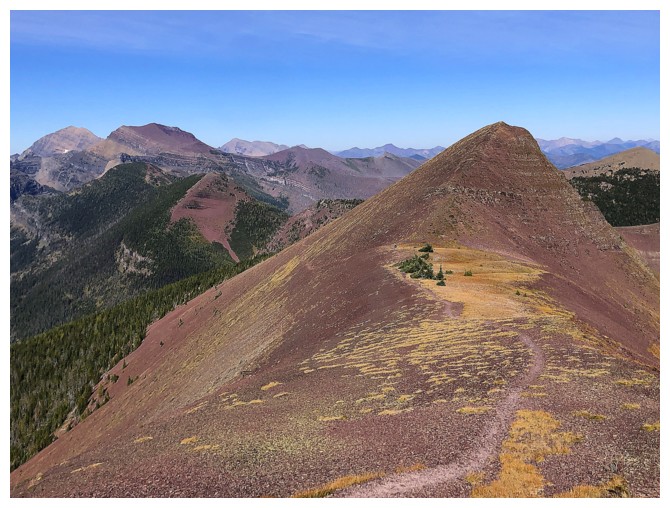
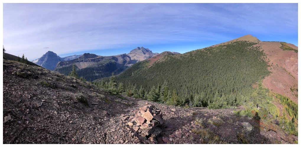
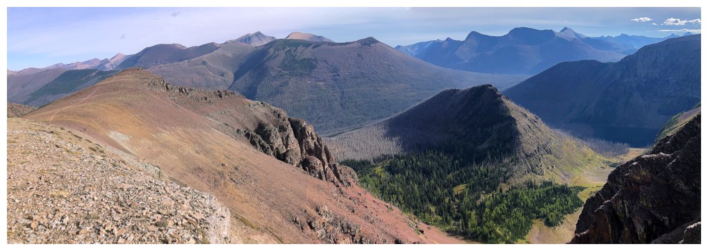
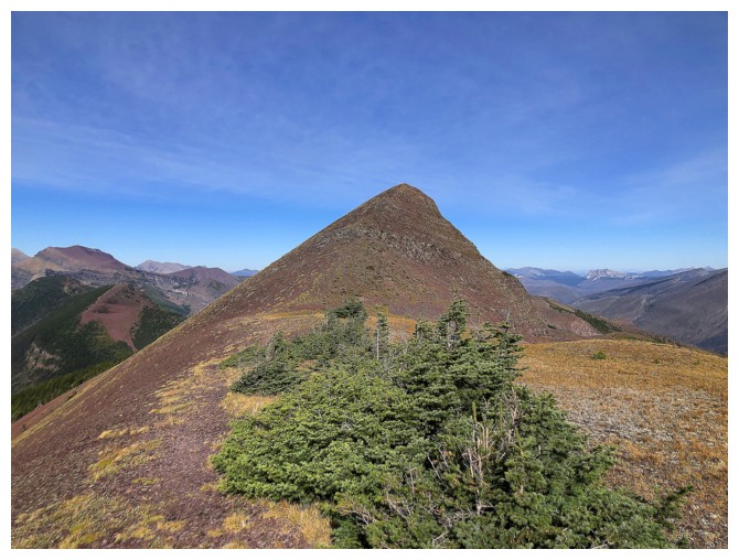
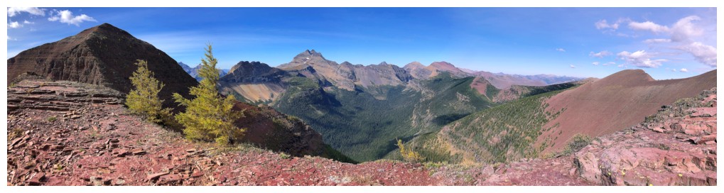
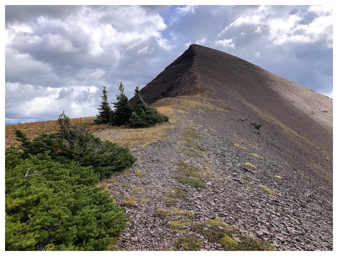
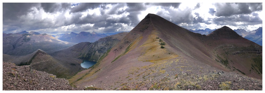
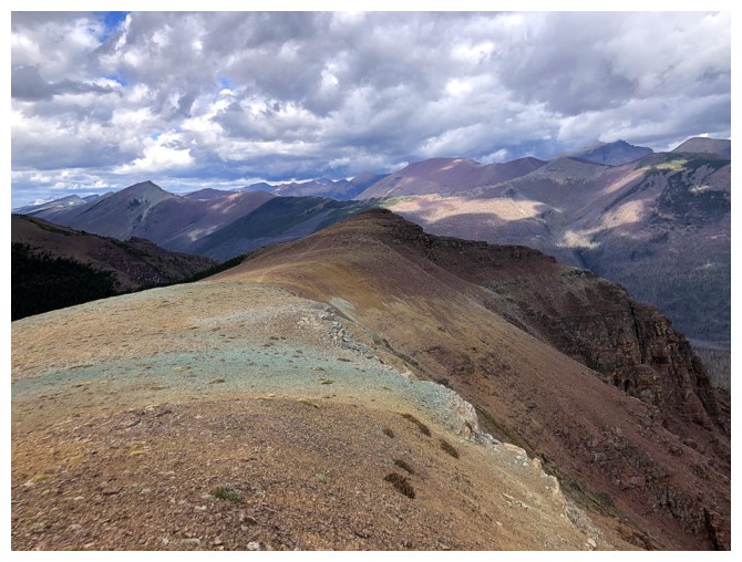
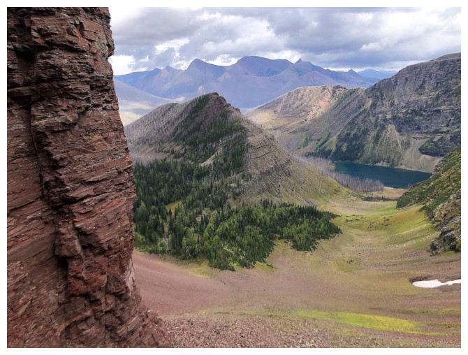
Sticking to the trail that bypasses the outlier. Akamina Minor at the left.
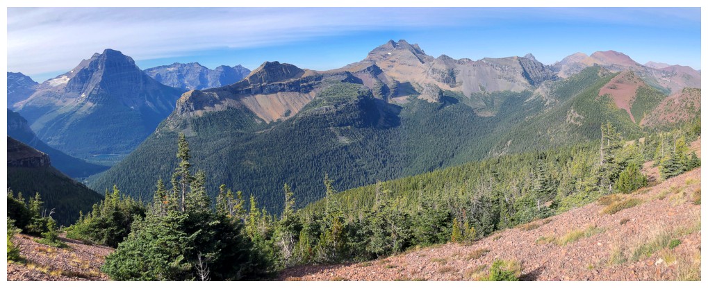
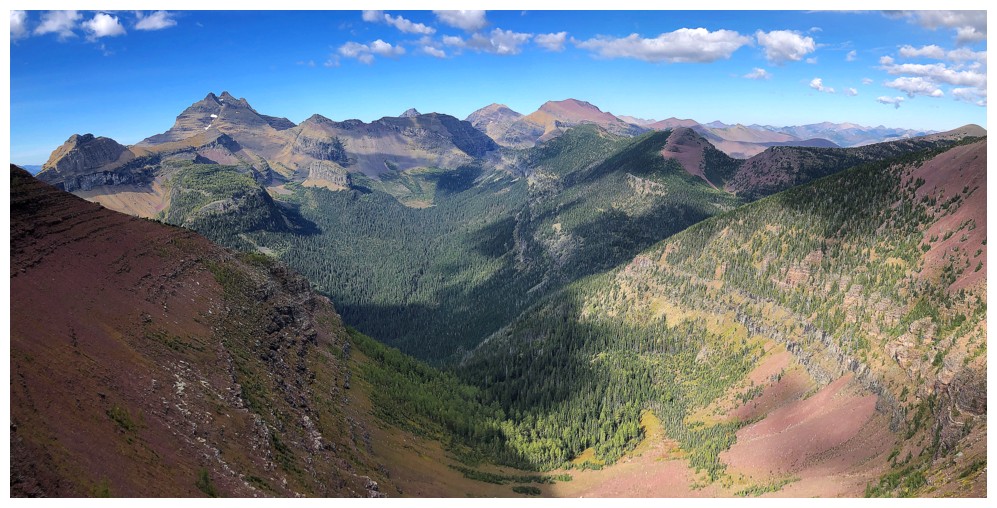
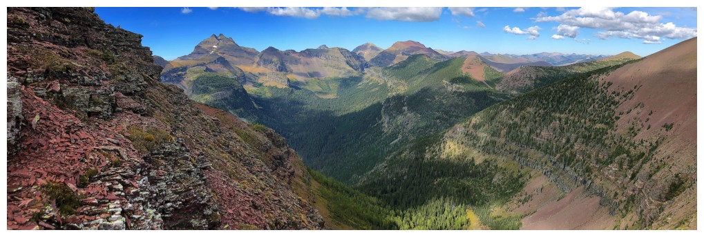
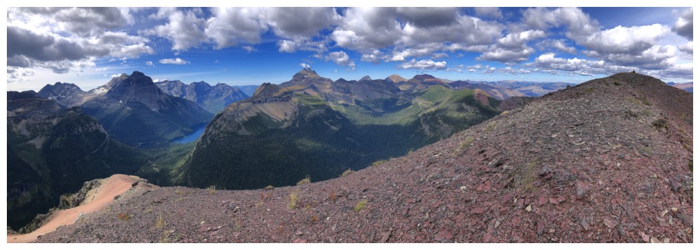
This is going to be the best view for awhile
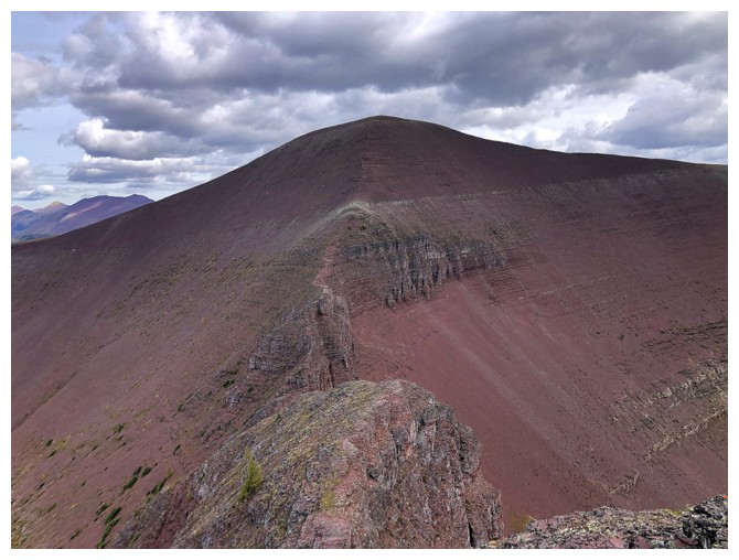
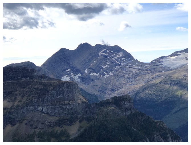
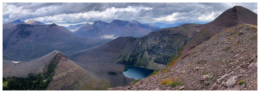
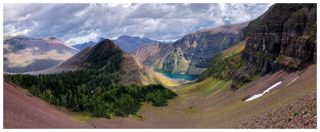
Minor, with Kinnerly Peak to the right
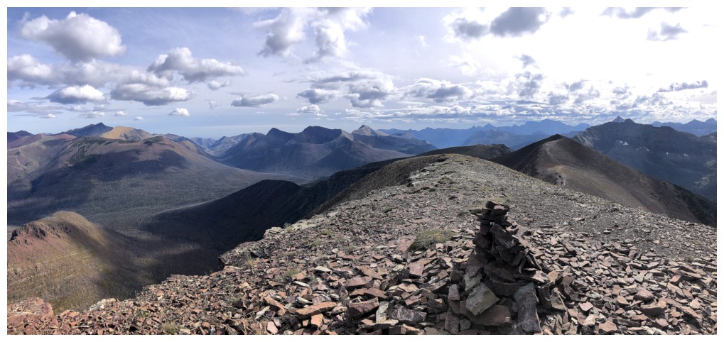
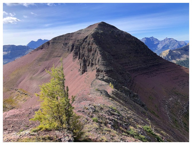
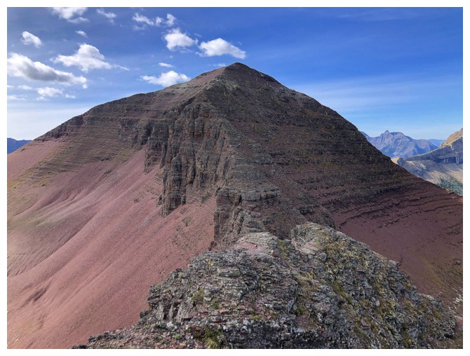
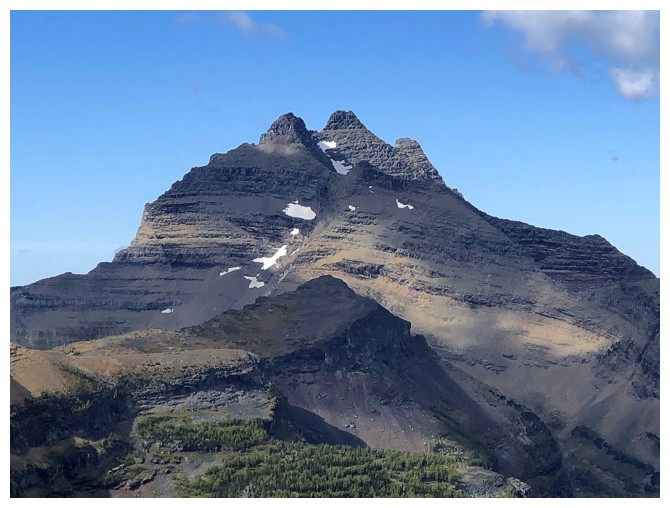
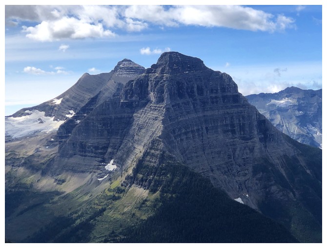
The summit of Akamina Ridge
The little western outlier I bypassed
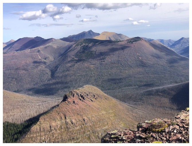
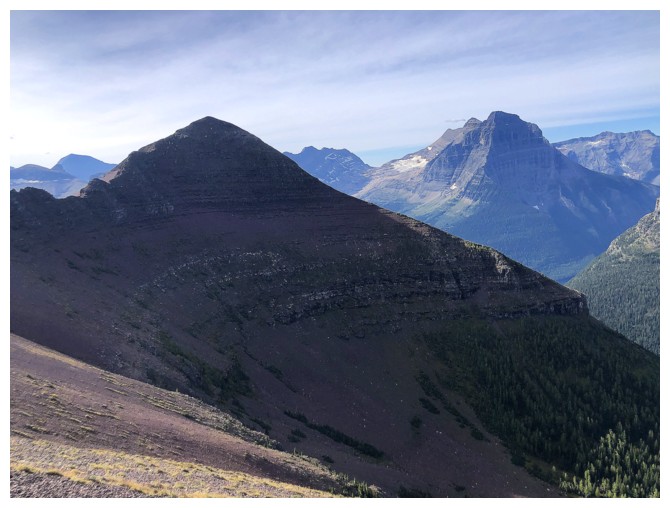
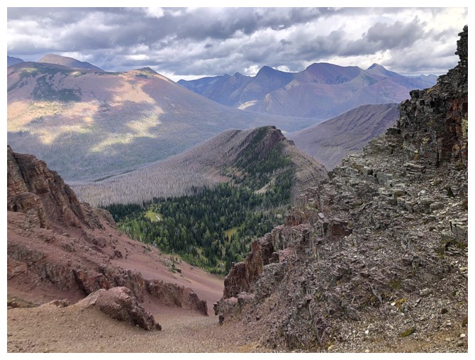
The Hawkins Horseshoe can be seen here, along with Mount Rowe. Of course, I'm smitten with lowly Bennett Pass Peak!
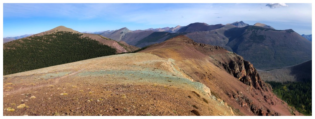
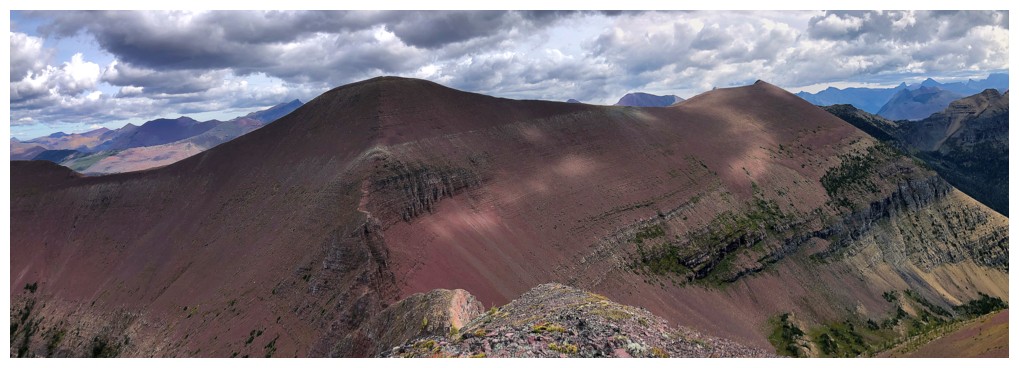
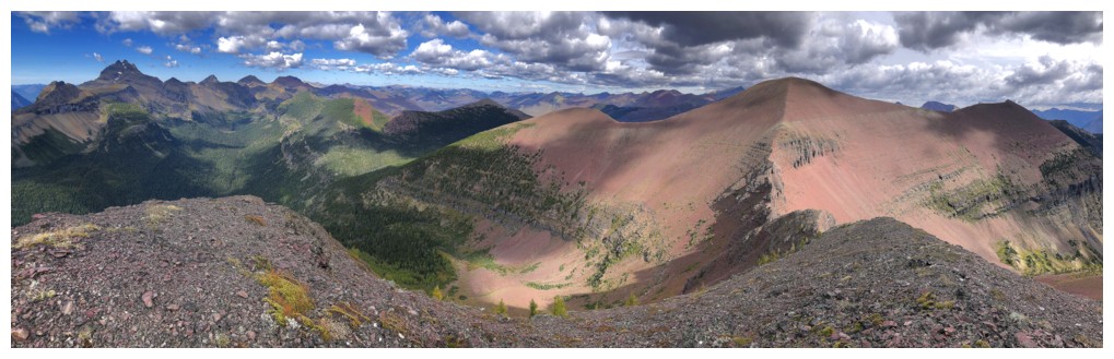
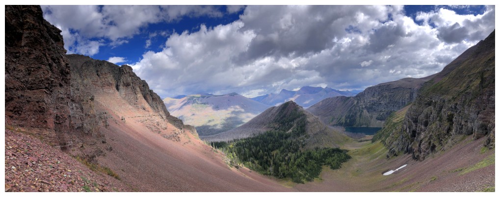
Most colourful view of the day
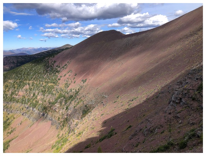
The short section of side-sloping I did, before deciding it sucked!
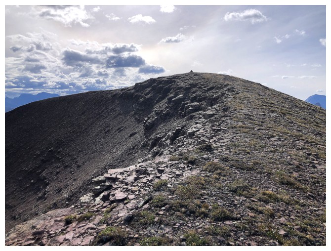
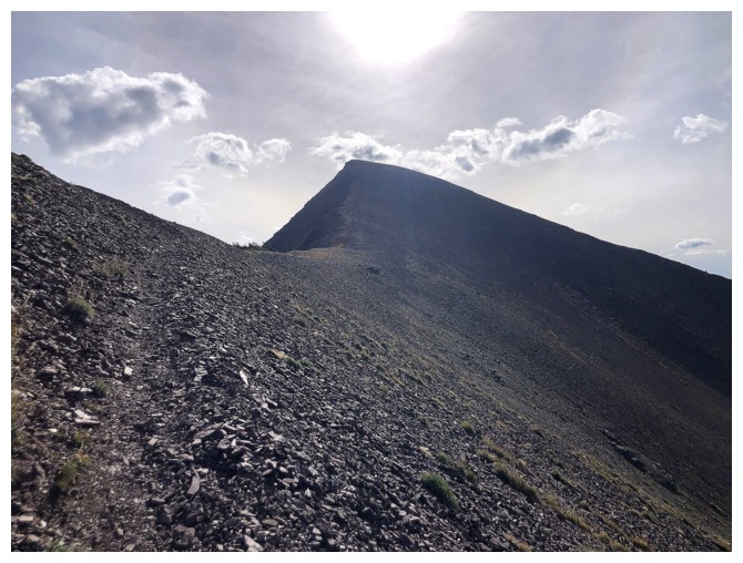
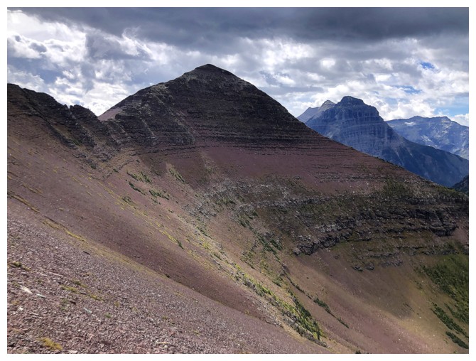
Suddenly the summit of Akamina Ridge is close
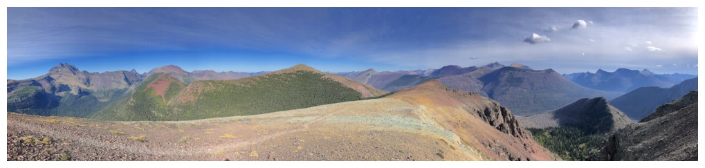
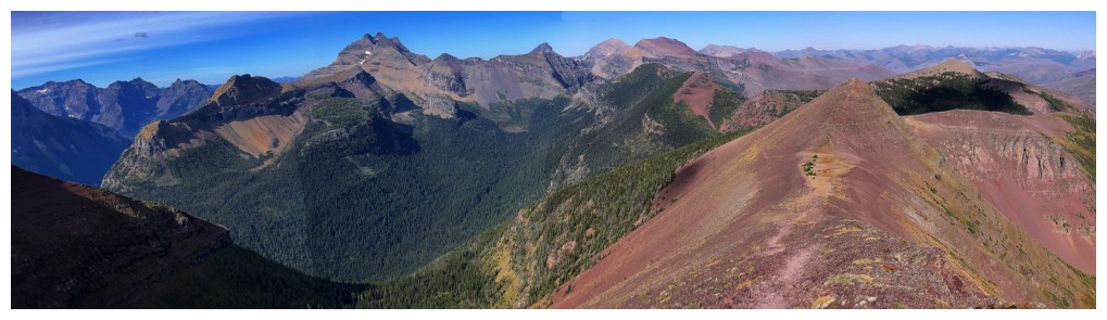
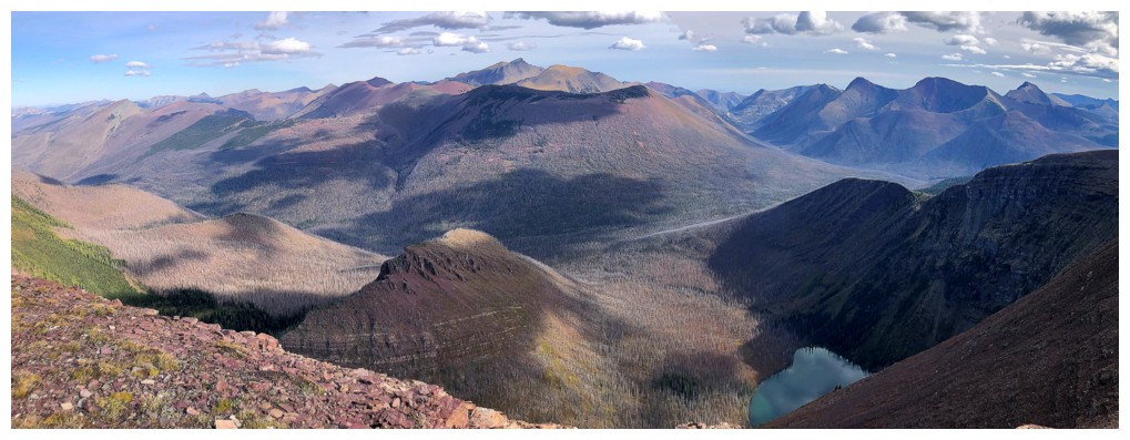
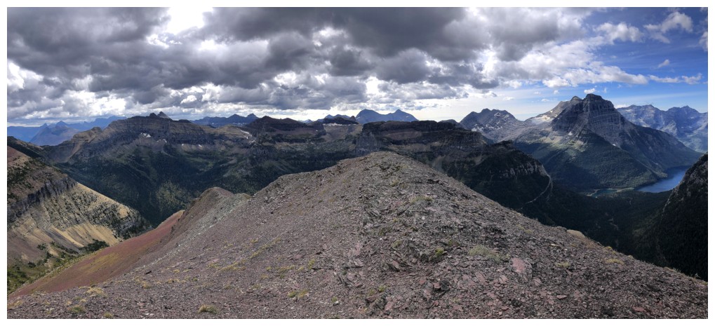
Summit views from Akamina Ridge
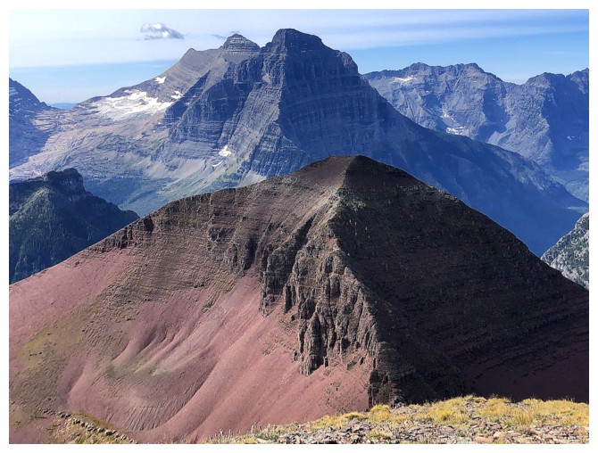
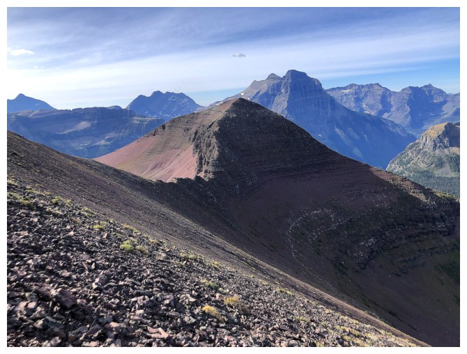
Akamina Minor is dwarfed by Kinnerly Peak and Kintla Peak (behind Kinnerly)
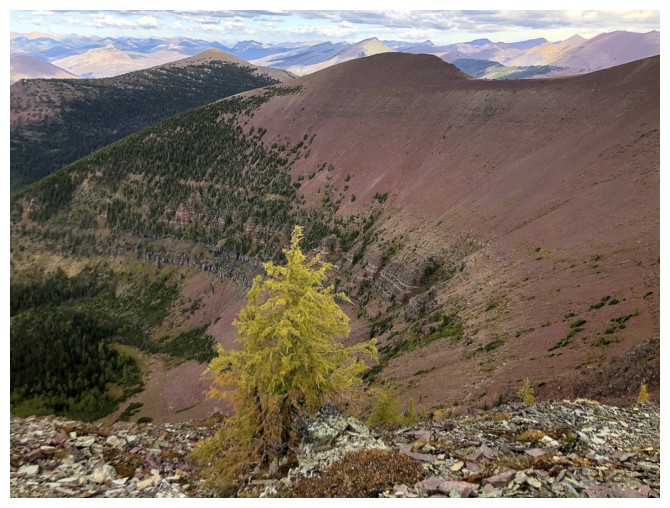
Looks like another solitary larch hit the yellow jackpot
And a few more in the process of turning
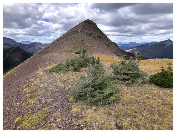
It may be small, but Minor is a beautiful peak
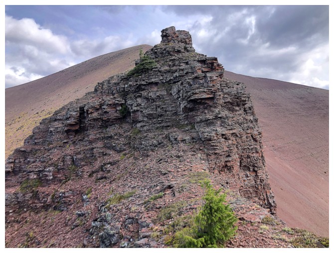
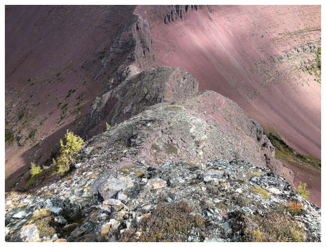
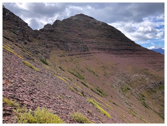
Approaching more challenging terrain
The left side of the ridge becomes vertical. Thankfully the right side is less severe.
A foreshadowing look at some of the side-sloping I will do on return
I was smitten with this view too
I traversed around this little step on the left side of the photo
Another step rears up ahead but there's an easy route around it
Blue to the north
Gray and threatening to the northeast
Even more threatening to the southeast
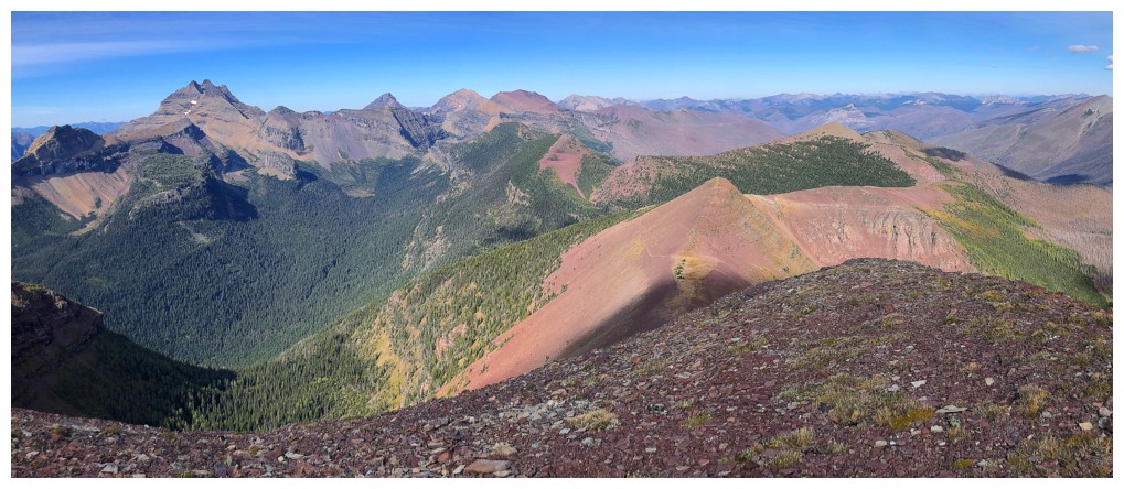
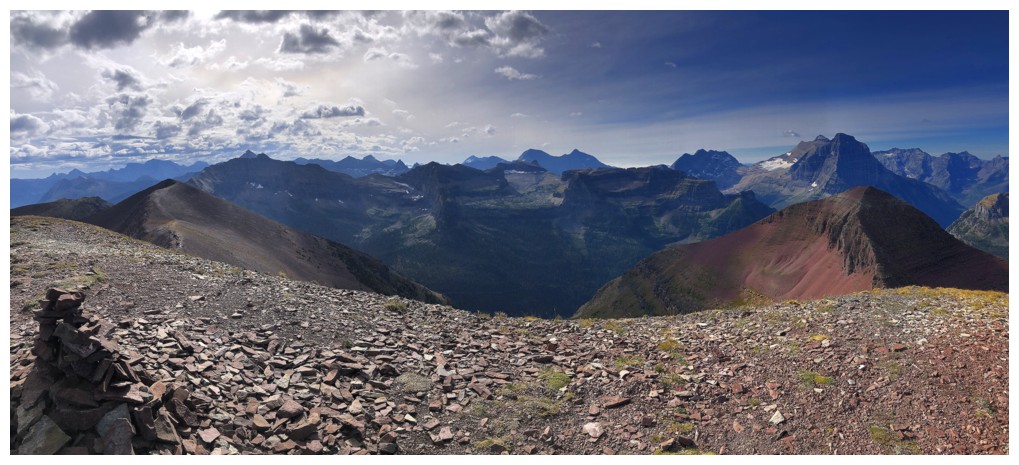
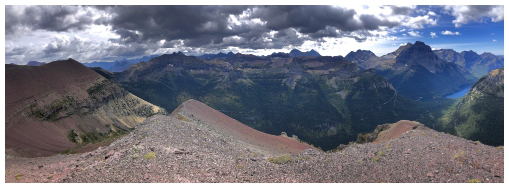
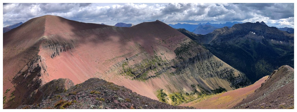
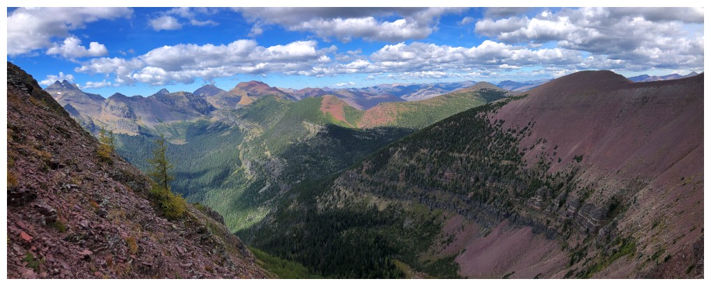
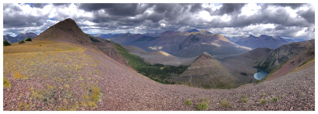
Summit panos from Minor
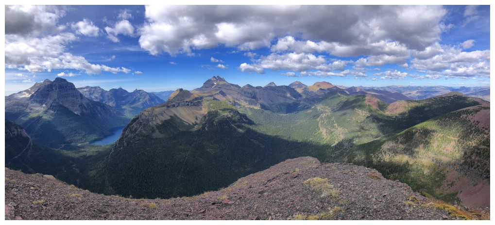
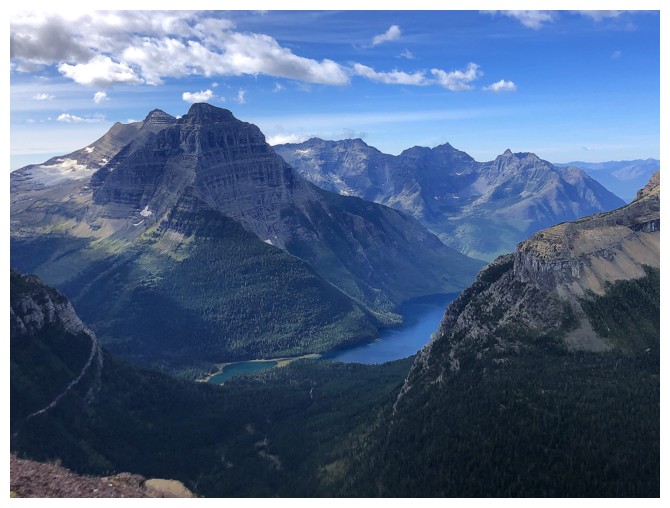
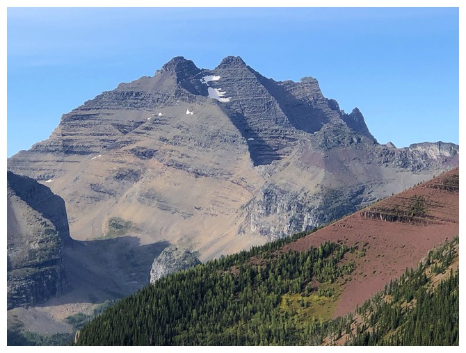
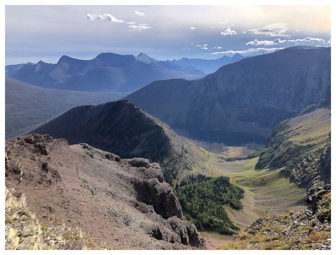
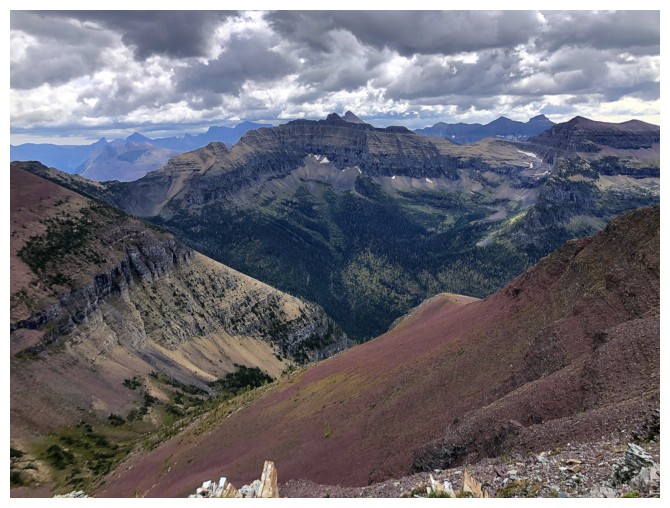
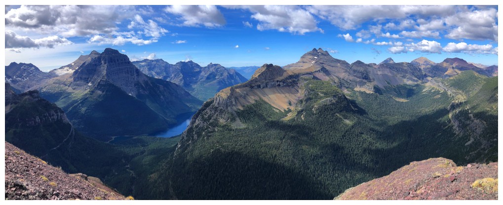
Upper Kintla Lake below Kinnerly Peak
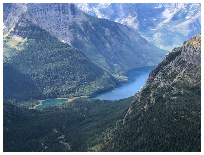
Interestingly, the lake appears to have separated into a big one and a
small here, even though most maps indicate there is only one lake. The
fact they are different colours may indicate this is permanent.
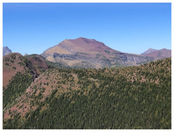
With clear, sunny skies this view of Akamina Ridge would be amazing
And of course, I'm always smitten with Long Knife Peak! If I received
$10,000,000 for every photo I've taken of Long Knife I'd be a
billionaire!
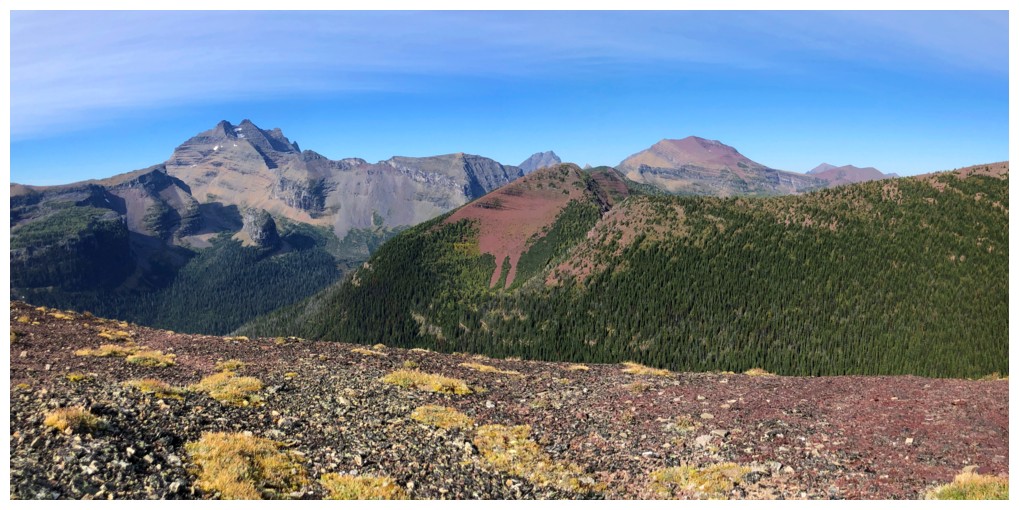
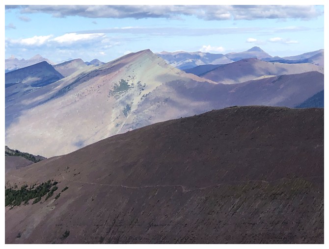
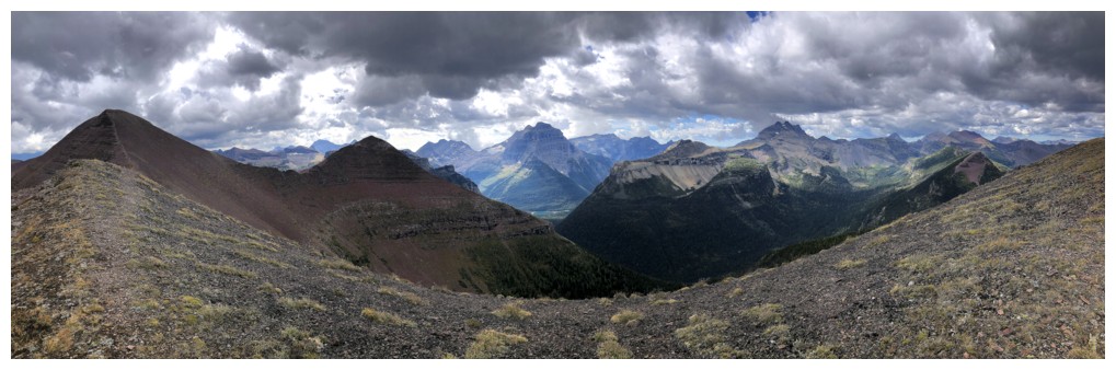
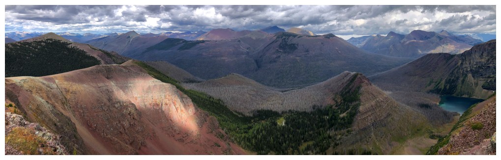
Peaks to the north include: Loaf, Kootenai Brown, Newman Senior, Lost, and Anderson
Festubert Mountain, just left of centre. It's on the list for a repeat ascent, but starting from Red Rock Canyon.
Mount Custer and Chapman Peak in Montana
Close-up of Kintla and Kinnerly
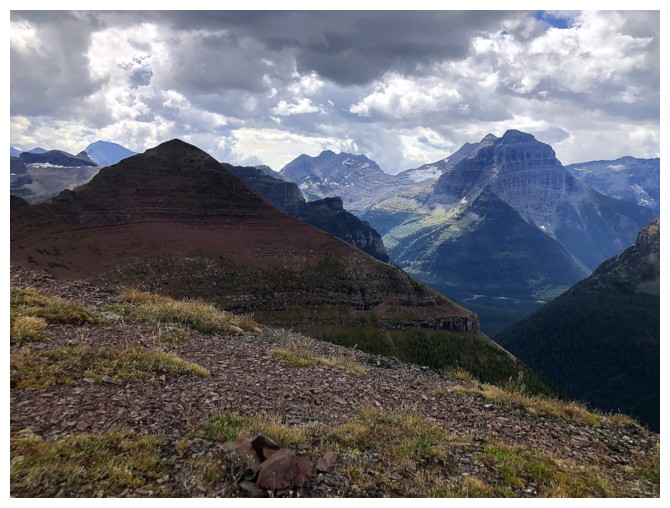
Mount Peabody always looks striking
Mount Carter and Rainbow Peak do too
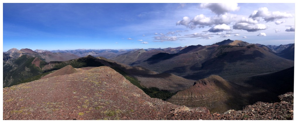
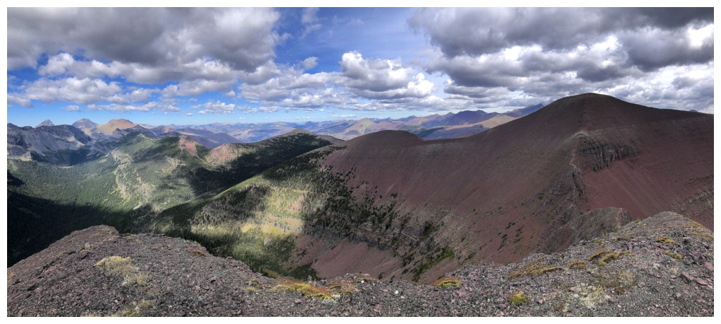
Another round of panos from near the summit
Heading back
The valley on the right side of the ridge looked tempting, but that would have required even more extra elevation gain
Another lucky larch!
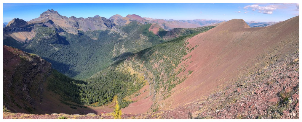
Big view...
...vs. small view
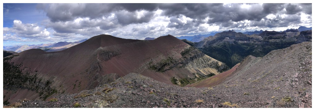
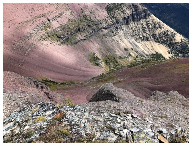
Looking up at the exposed terrain I bypassed
Traversing below the rock bands
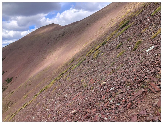
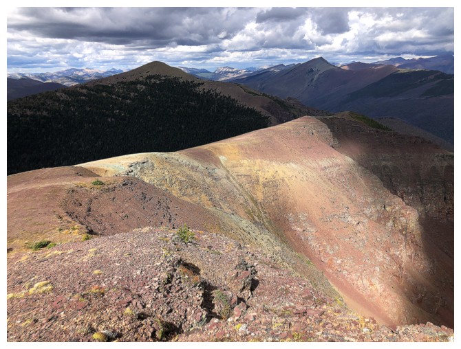
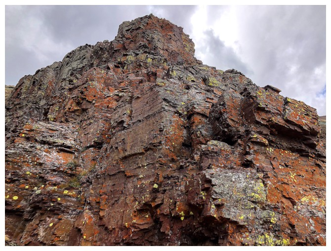
Yellow lichen on red argillite requires clear skies!
Here we go - the upward, side-sloping traverse begins
Frequent stops to look back at Akamina Minor (i.e. catch my breath)
Side-sloping...
...looking back...
...still side-sloping...
... back on the ridge - whew!
I wasn't going to skip bypass the minor outlier again
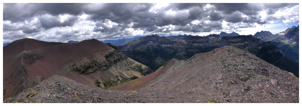
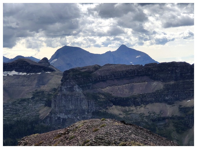
Great view, but those threatening skies again
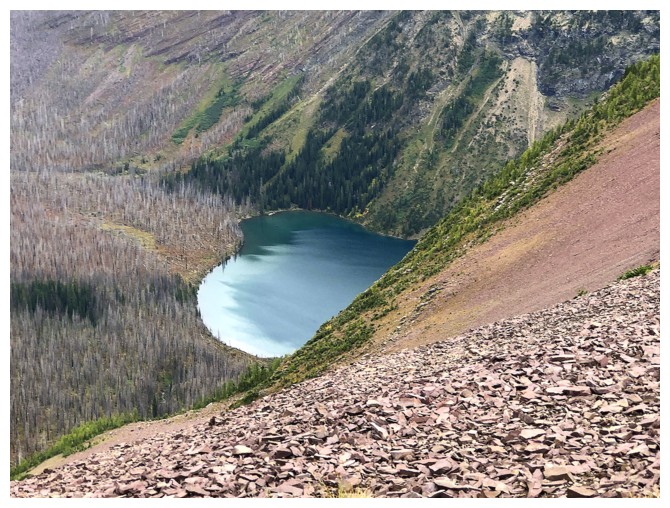
The "heart" version of Wall Lake.
Looks like a horizontal stretch about the y-axis by a factor of 3/2
(therefore b = 2/3), for those students who just finished the
Transformations Unit in Math 30-1.
I thought a downpour was imminent at this point, but thankfully, only a few drops of rain fell
Last look at Minor and Kinnerly
Back to that colourful ridge, but the Sun is gone
It did try to break through
A valiant effort
But to no avail
The shortcut gully
Same as above
Terrific rock on both sides of the gully
The other side
Both sides
Both sides frame Bennett Pass Peak, (which you'd think is the love of my life from reading this report!)
Wall Lake is looking much closer
That's because it was a zoomed-in shot!
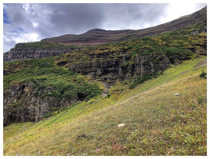
An area I've always wanted to explore - but not today
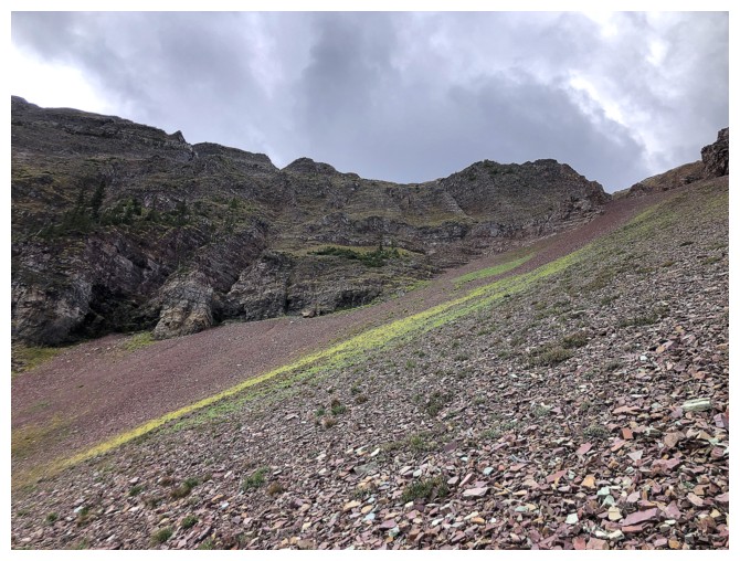
Interesting strip of green
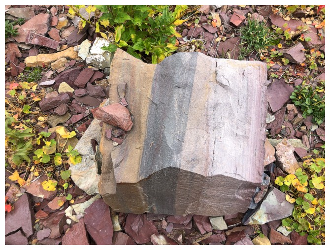
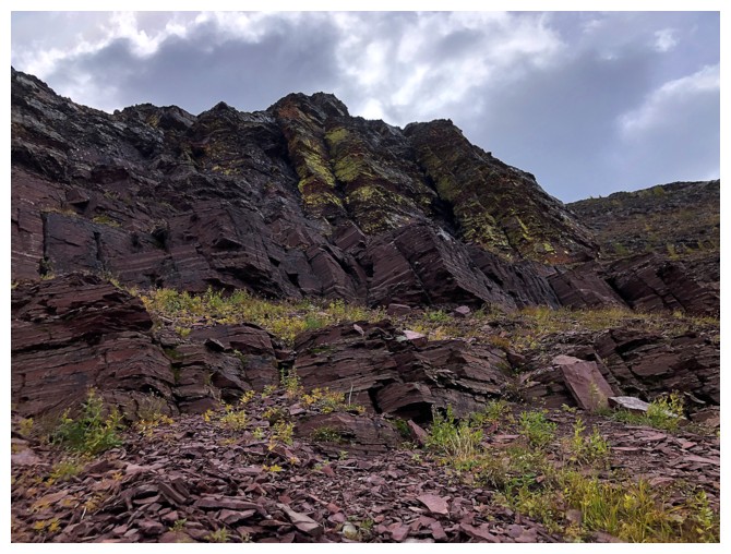
Interesting layers of rock
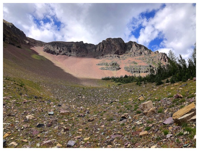
The descent route at the left
That direct route up Akamina Ridge I would someday like to try
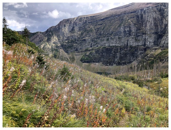
Fall colours are starting to appear
Same as above
Wall Lake gets the last word before the exhilarating bike ride back
The End
LOG