Bakery Peak IV
June 9, 2024
Mountain height: 2420 m
Elevation gain: 910 m
Ascent time: 3:20
Descent time: 1:45
Solo scramble.
Inspired by our
recent ascent of Ciabatta Peak but uninspired by a lacklustre weather forecast,
I set out to ascend Bakery Peak from the north side, as opposed to the
wonderful east ridge route. I had completed an ascent from the north in 2006
but couldn’t remember any specifics.
 After biking
the approach, and then finding the trail Brad, Dave, and I had used for
Ciabatta, I suddenly arrived at a barbed wire cattle fence. The fence must have
been completely bridged by snow only 7 weeks before. As such I decided to go up
alongside the fence and see where that led.
After biking
the approach, and then finding the trail Brad, Dave, and I had used for
Ciabatta, I suddenly arrived at a barbed wire cattle fence. The fence must have
been completely bridged by snow only 7 weeks before. As such I decided to go up
alongside the fence and see where that led.
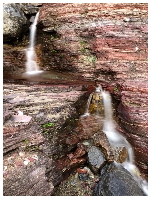
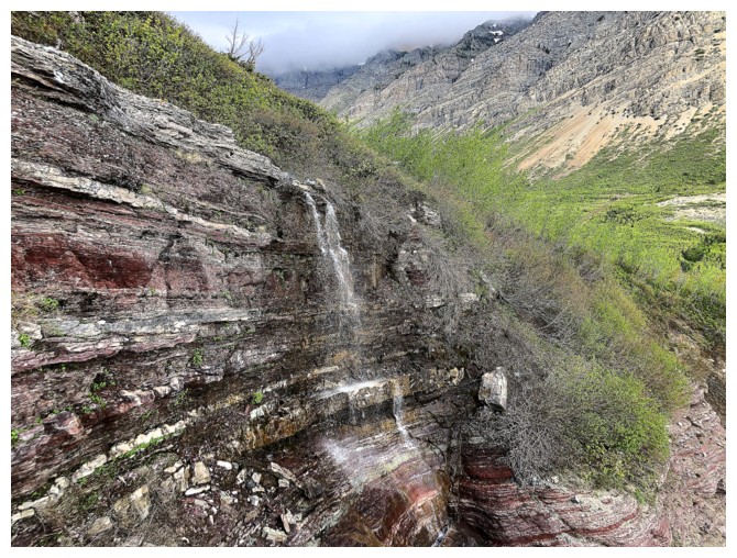
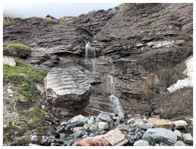
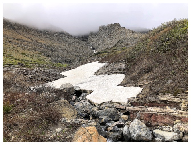
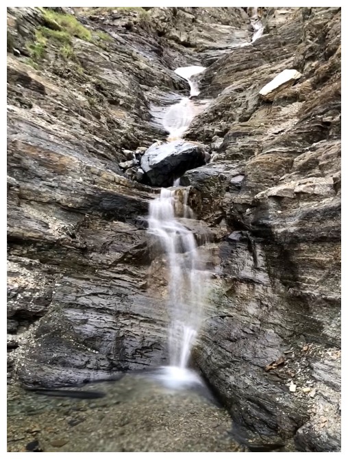
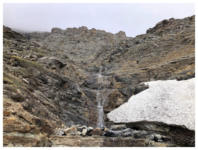
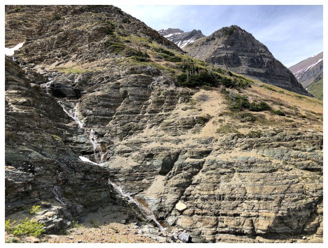
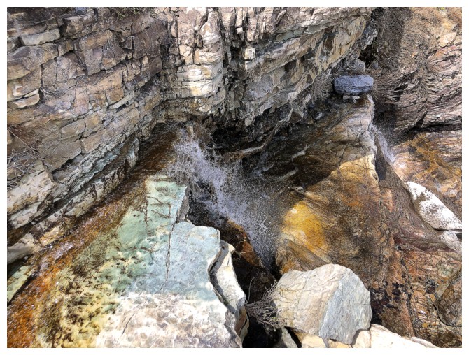
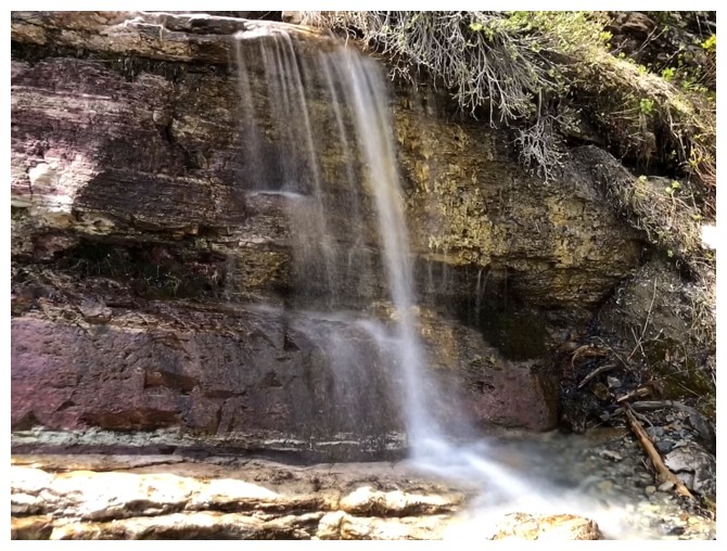
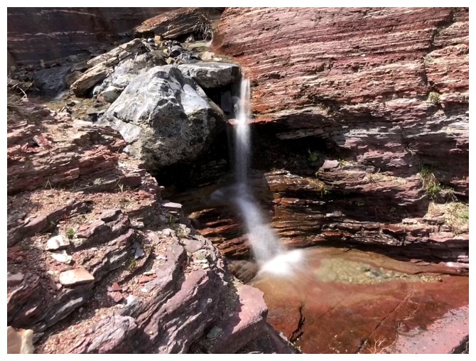
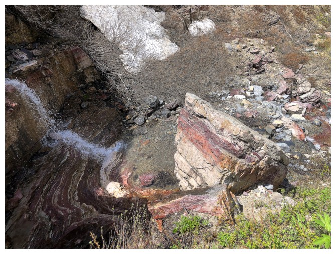
It led to a
cool drainage that appeared to be easy to follow, at least halfway up the peak.
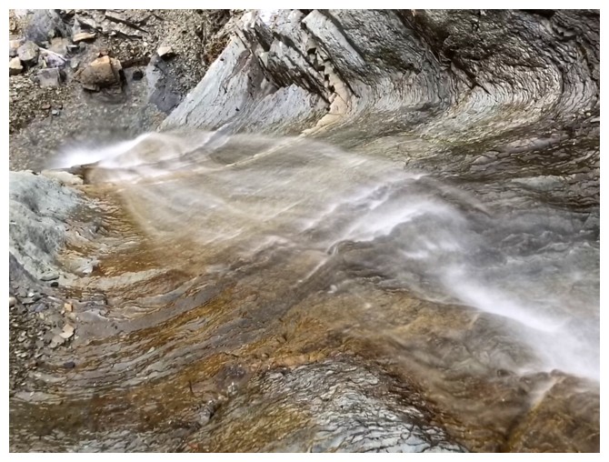
Though hardly gushing, the drainage did contain enough running water to warrant
a few long exposure photos! 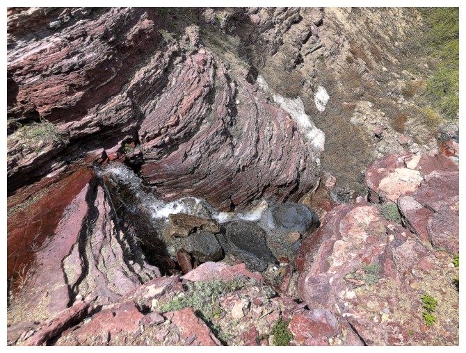 I was able to gain a fair amount of elevation
before snow atop the running water made travel too precarious. At this point I
left the drainage and weaved my way up, encountering easy and enjoyable
hands-on scrambling along the way.
I was able to gain a fair amount of elevation
before snow atop the running water made travel too precarious. At this point I
left the drainage and weaved my way up, encountering easy and enjoyable
hands-on scrambling along the way.
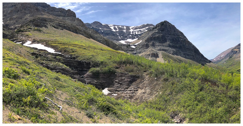
Eventually I
arrived at the near vertical limestone rock band and was forced to traverse
east, along its base. I thought I was generally following the 2006 route, but
suddenly and to my surprise I ended up almost intercepting the aforementioned
east ridge route. Of course, the remainder of the trip unfolded with relative
ease, now on very familiar terrain.
I didn’t stay
at the summit for too long, the relatively cloudy skies detracting a fair bit
from a usually magnificent view. For descent I was able to find an easy route down
and around the east side of the peak, before returning to the drainage to finish.
Not the thrilling
ride of the east ridge, but a good route and a good day out nonetheless.
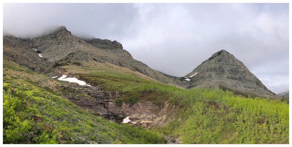
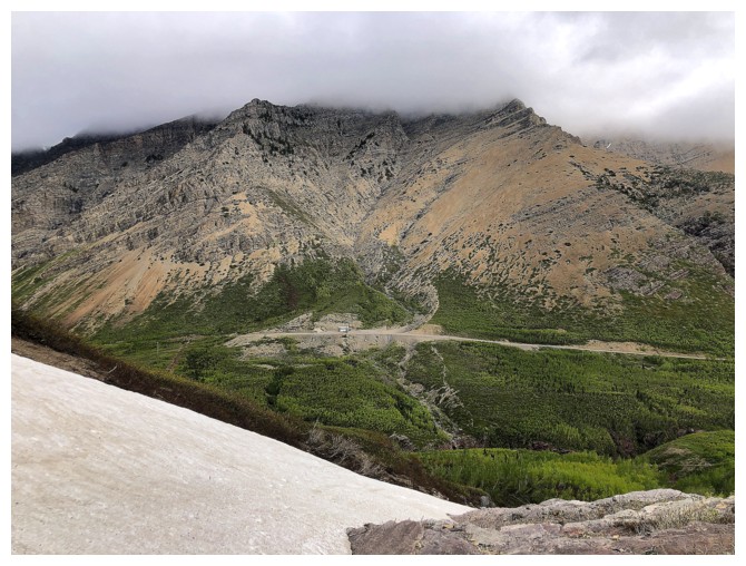
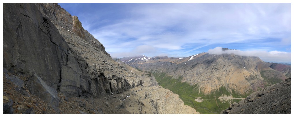
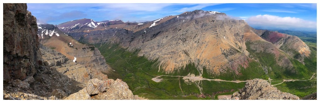
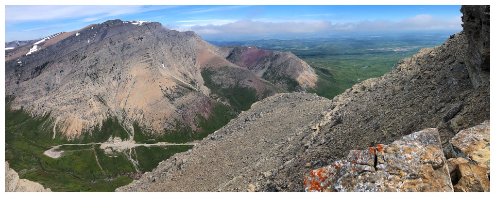
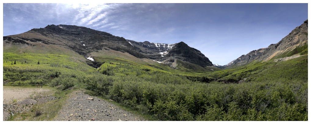
The northeast end of Drywood Mountain unofficially goes by the name "Woody" and offers a smorgasbord of terrific routes: Woody I, Woody II, Woody III, Woody V, Woody VI, The Knot IV
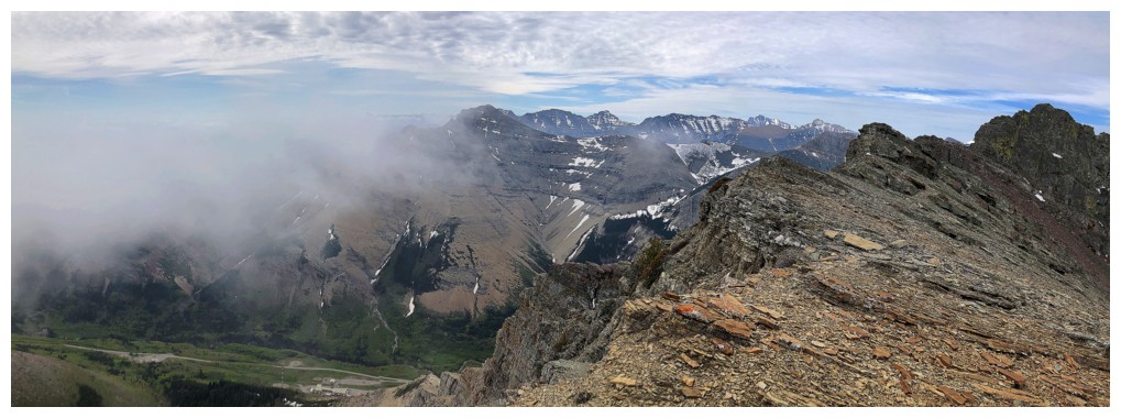
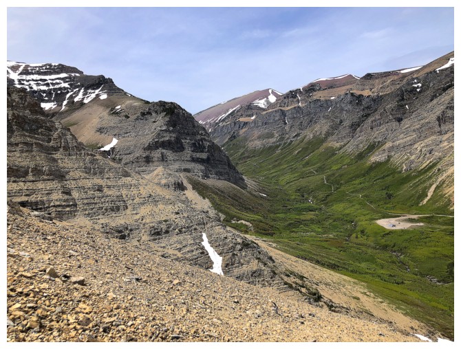
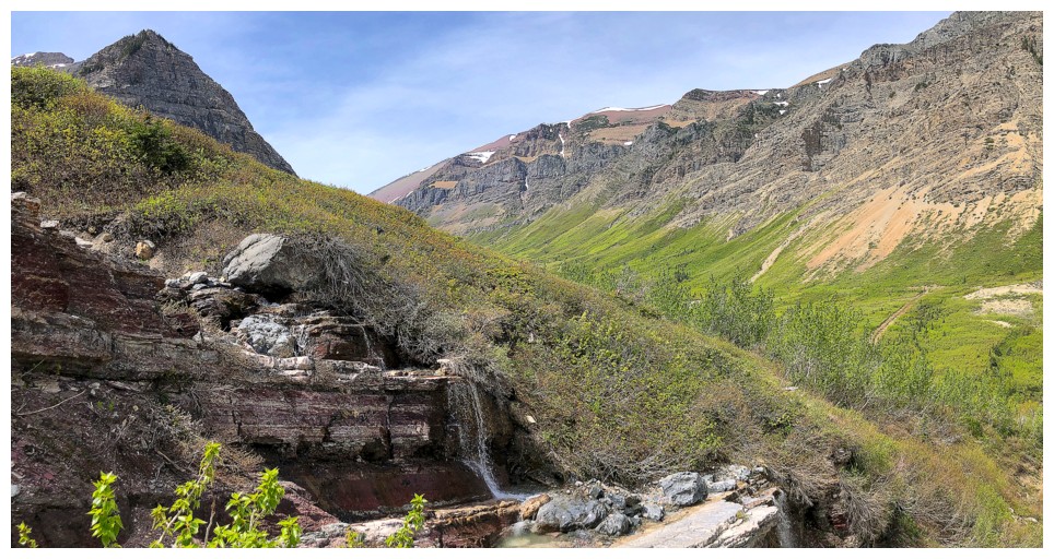
Ciabatta at the right and the drainage I will soon ascend in the middle
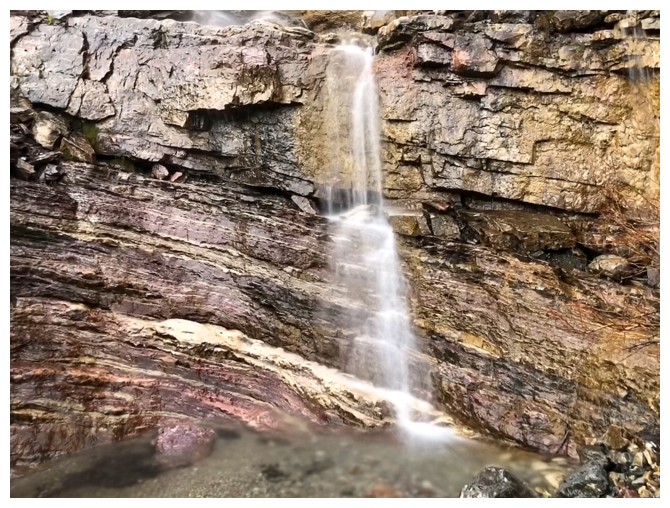
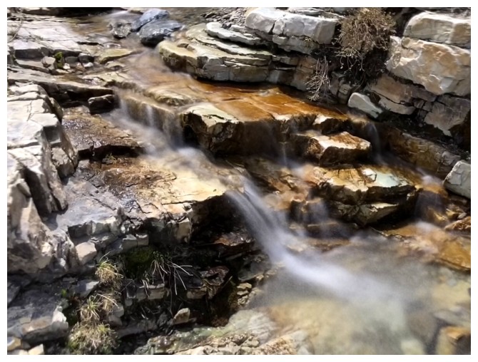
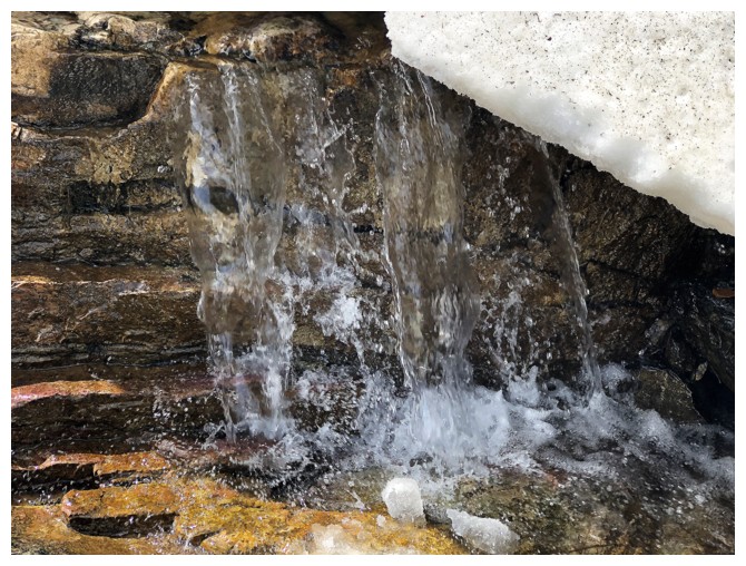
Not much water, but it's better than zilch!

There were a few teasers for clearer skies
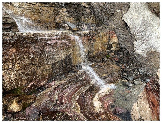
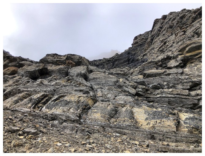
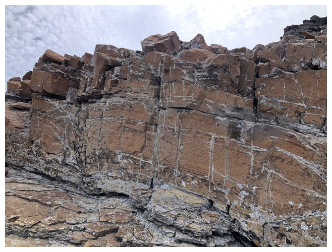
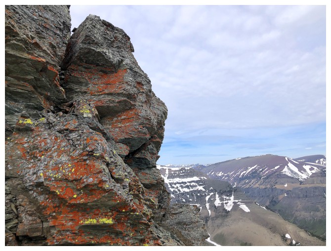
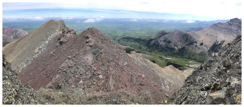
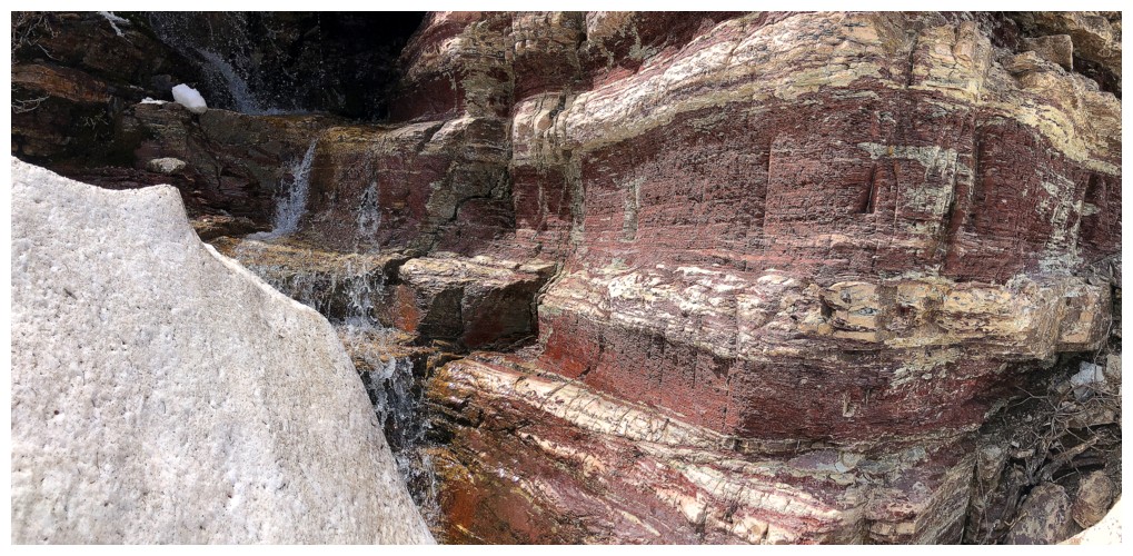
Needless to say, the drainage has a decent dose of red argillite
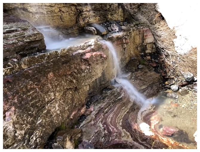
Starting to encounter some snow patches
So much for those clearer skies!
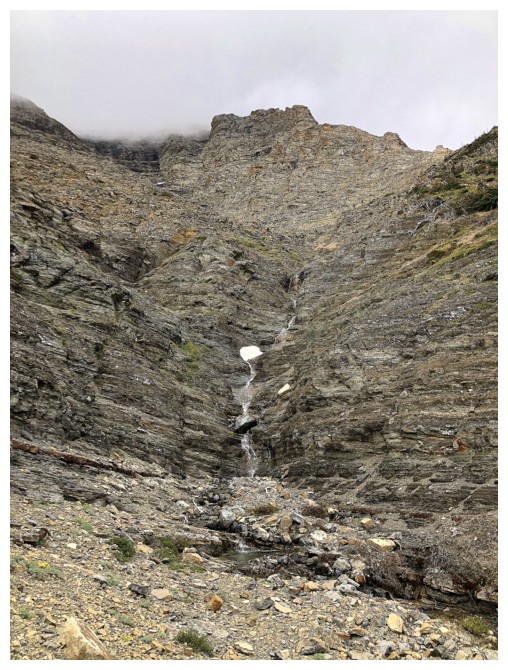
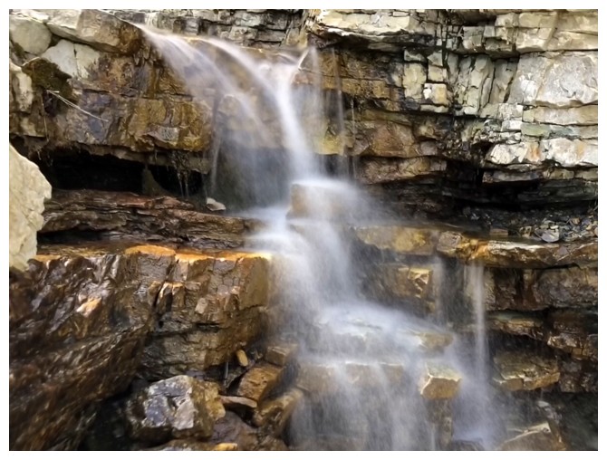
Continuing up the drainage
Looking down a section
Still going
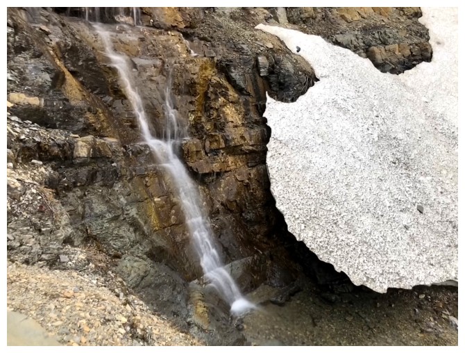
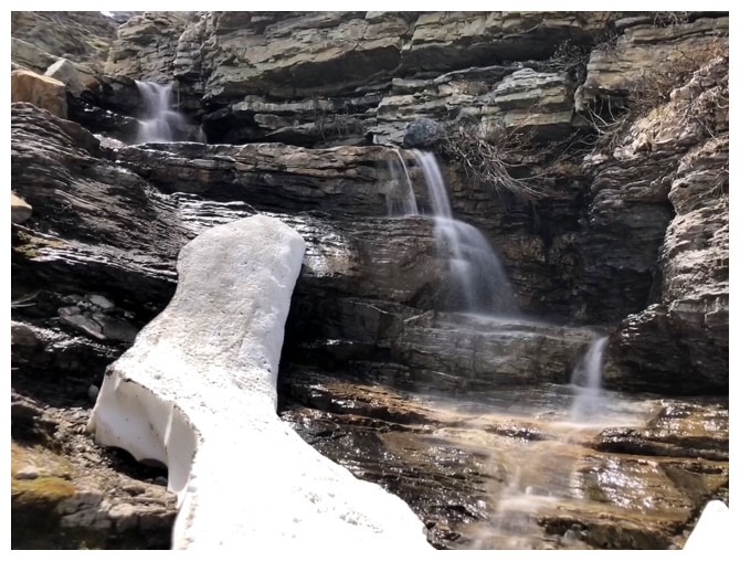
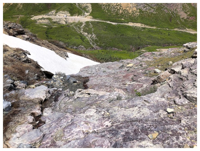
End of the line for the drainage. Going up the snow was not an option.
Veered to the left and found some nice scrambling
Up and under this rock

The sky attempts to clear again
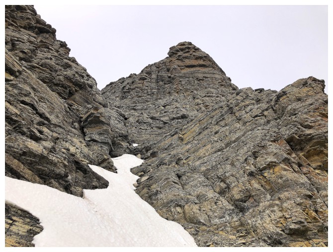
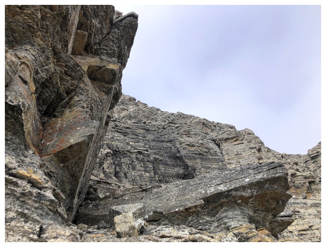
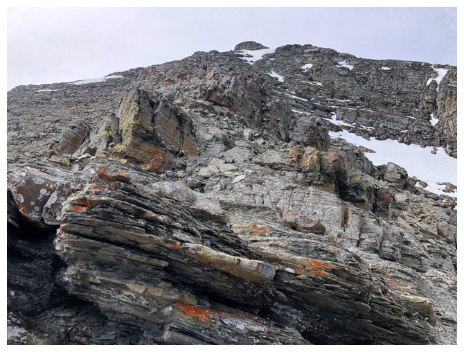
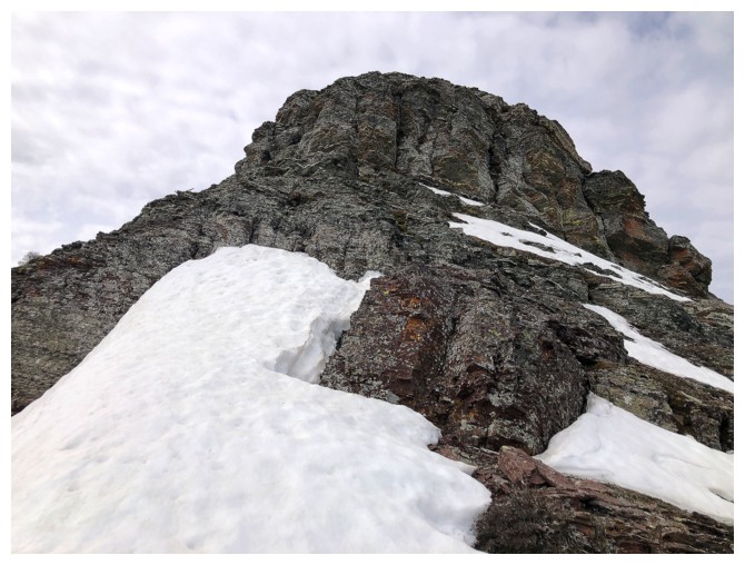
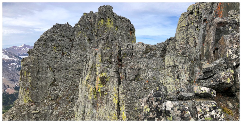
At the limestone wall. I traversed along the base until a weakness was found.
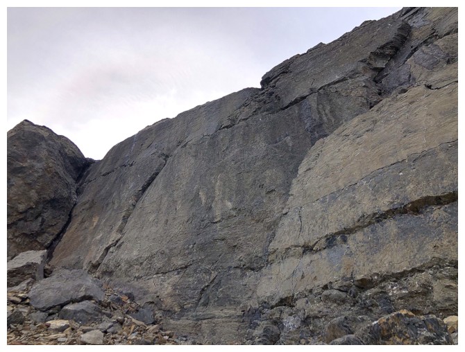
The wall is near vertical in places and quite smooth
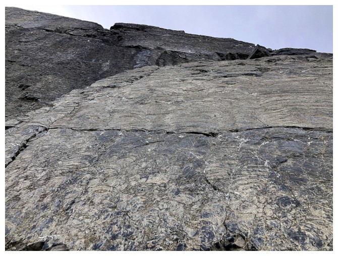
Looking up it
Looking back
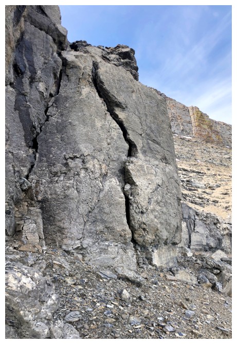
Climbers would love to climb that crack
The Breadsticks (just below the clouds, right of centre) make an appearance
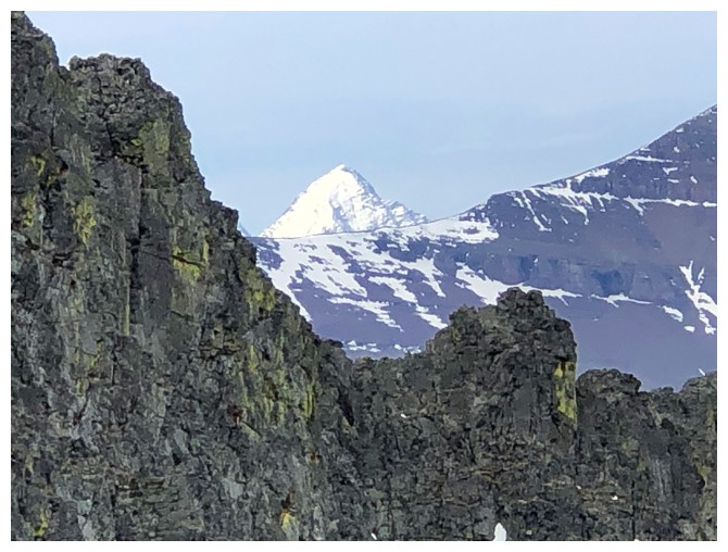
Look who unexpectedly showed up? The Muffin and The Croissant
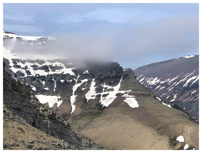
The clearest skies of the day over Drywood Mountain
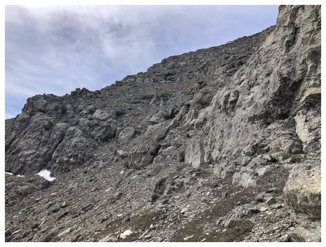
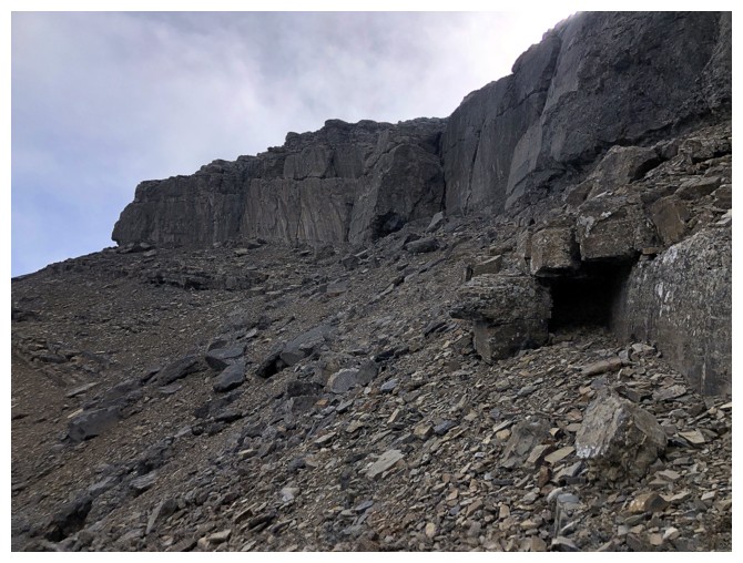
The weakness that allows easy access to the ridge above
Above the weakness it's a straightforward ride to the ridge
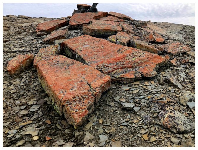
Cool rock
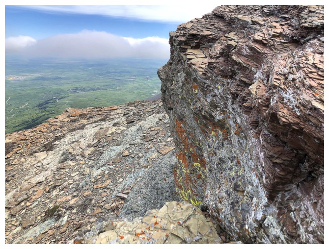
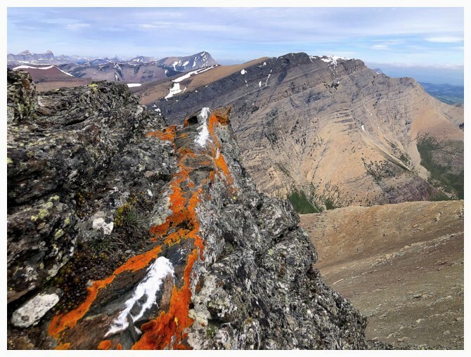
Quick lichen fill
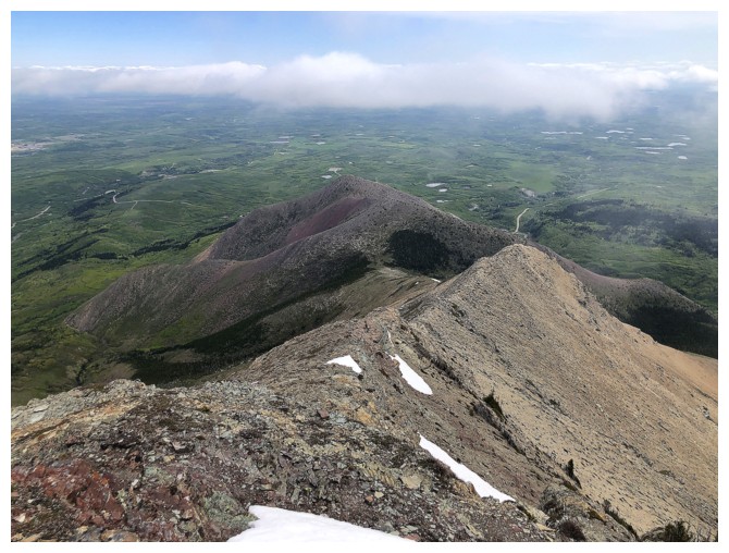
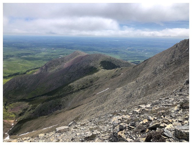
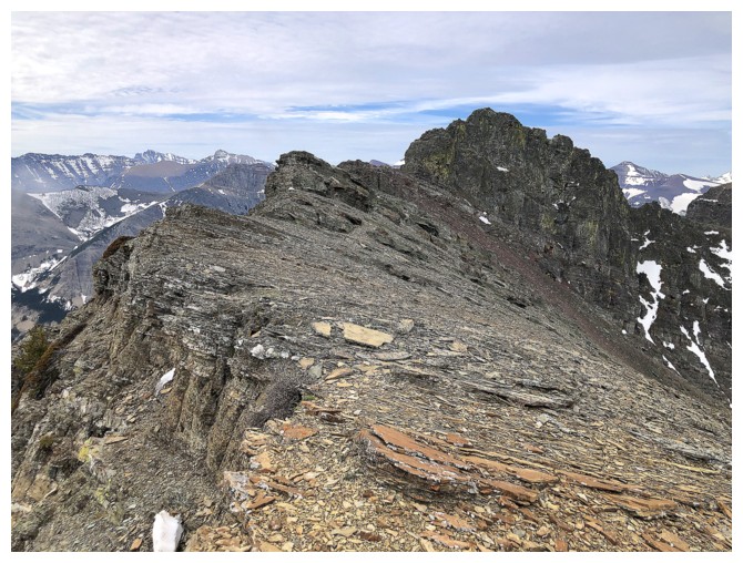
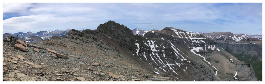
On familiar terrain - the east ridge of Bakery
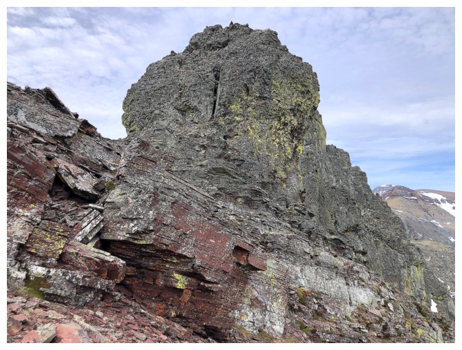
The highpoint at the far east end. Dave and I went straight up
the rockband in May of 2018, the snow making things much easier. Today
I will duck around the right side.
Another welcome lichen encounter
Commerce Peak perhaps?
At the end of the ridge
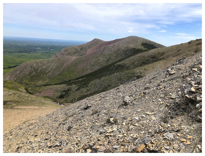
Bakery blends into Icing
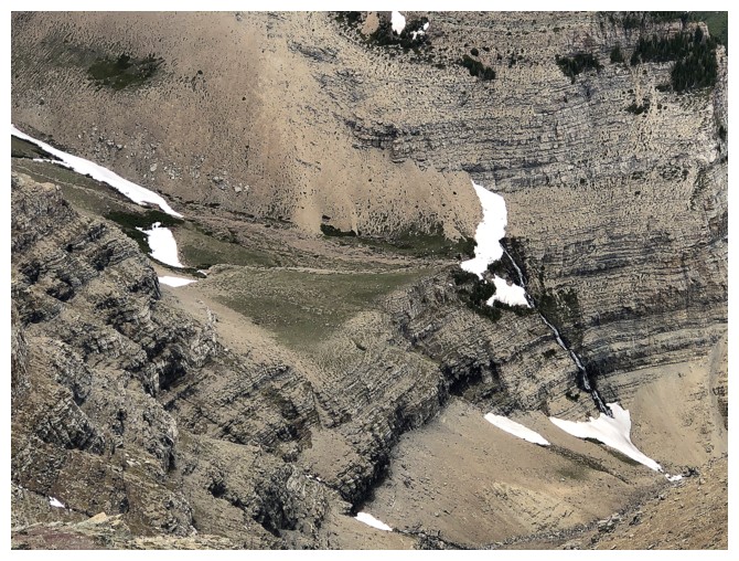
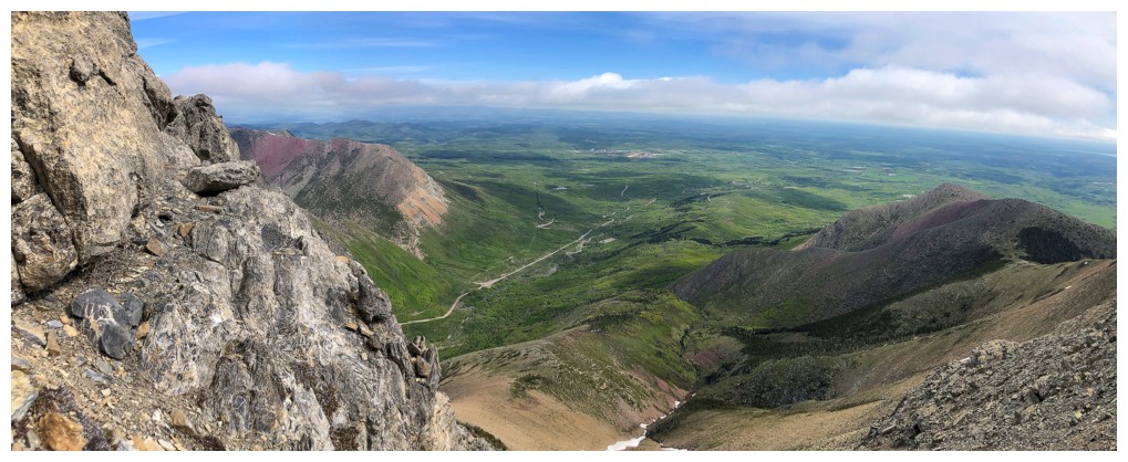
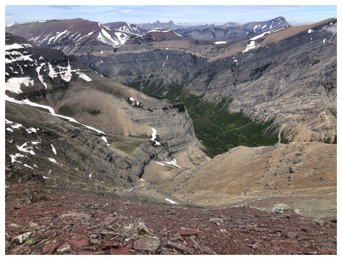
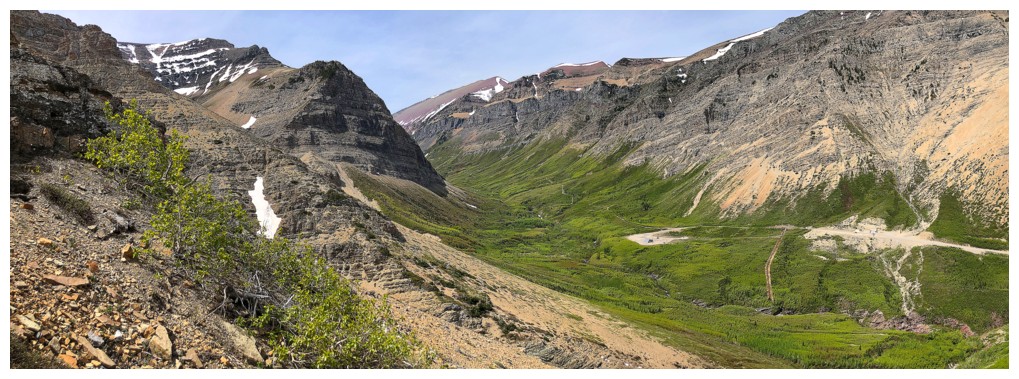
Looking down on the terrain we used to get up to the hanging valley below Ciabatta
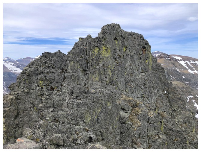
Approaching the summit block of Bakery
Looking down the descent route I used in 2006
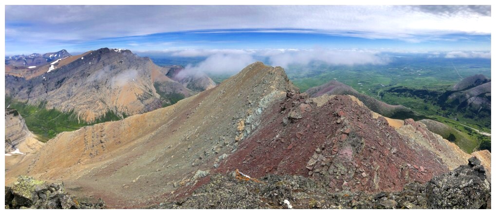
Icing from the summit of Bakery
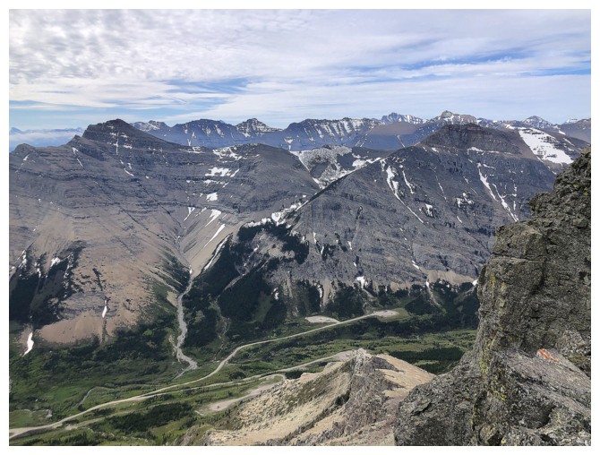
Mount Roche (Spread Eagle Mountain) to the south. If you are looking for amazing rock scenery, this is your peak!

View west, northwest, and north
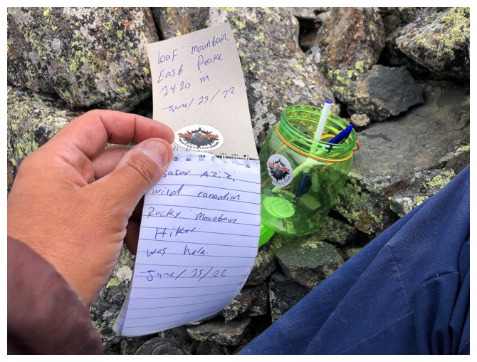
Thank you Jafar for leaving a summit register
The scary south side of the mountain
East
Looking back while on my way down
Found these easy scree slopes for descent
Traversing back around the mountain to my ascent route
Almost back to the drainage
There it is
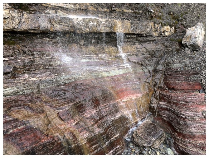
Another round of water scenery to end the descent
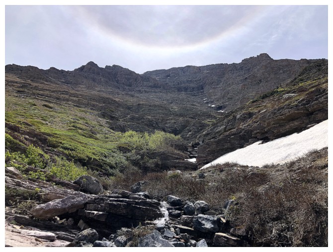
The Sun halo here reminded me the final scene from John Carpenter's excellent 1984 movie Starman

Leaving the drainage
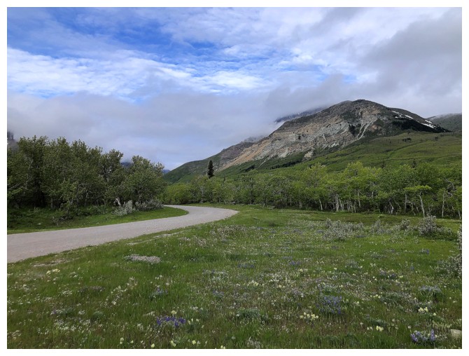
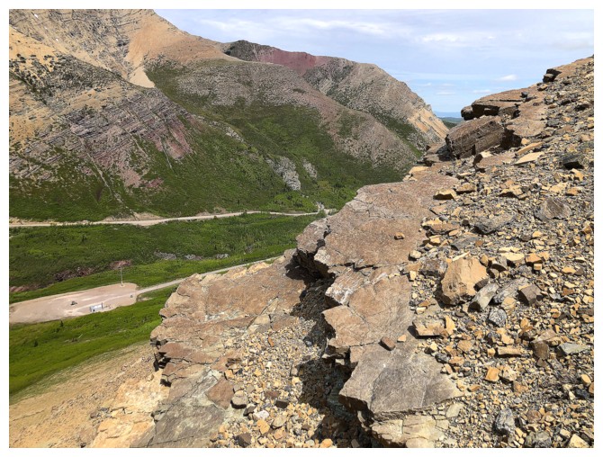
Back at the end of the gas road. The route I took up went up the drainage near the left side.
Only a sweet 8-minute bike ride to the trailhead remains.
The End
LOG