The Knot IV
May 21, 2023
Mountain height: 2275 m
Elevation gain: 770 m
Round-trip time: 5 hours
Solo scramble.
After an
awesome but totally exhausting day on Kootenai Brown Peak and Lost Mountain, 24
hours earlier with Dave, something short and sweet was going to be the "trip du
jour". In fact, had I not awakened to clear and relatively smoke-free skies, 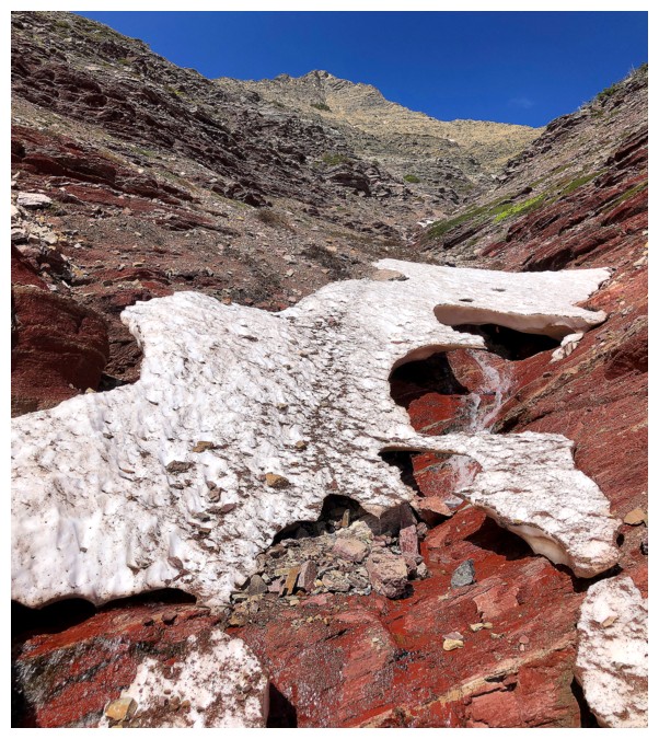 I
would have sat around in my pajamas all day, contemplating why the previous day
had all but done me in!
I
would have sat around in my pajamas all day, contemplating why the previous day
had all but done me in!
I chose a
repeat ascent of a wonderful route up Pastry Peak I completed in July of 2022. The Kootenai Brown ascent left me craving more
waterfall scenery and the Pastry route boasted that in spades. I thought that
doing the route a month and a half earlier would yield even more impressive
waterfalls and cascades – I was dead wrong! I biked 4 km to the end of the gas
road to discover the creek running down the mountain was but a trickle – “NO WATERFALL SCENERY FOR YOU!!” (Seinfeld reference).
Onto Plan B – a
drainage on the southeast side of Woody (an unnamed outlier of Drywood Mountain).
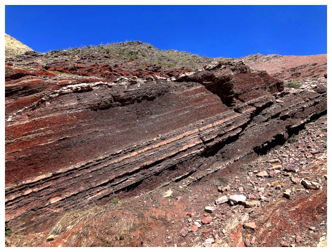
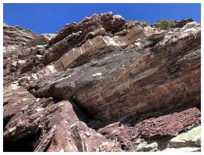
This side of the mountain is home to a vibrant band of red argillite, 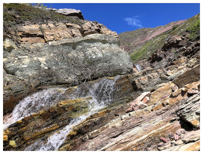 and I had
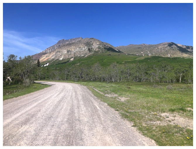
always wanted to check it out. But first, 4 kilometres of super easy, downhill biking
back to the start of the Pastry trip, a short drive north to the Bovin Lake trailhead, and back on
the bike. This approach was only about 2 km and relatively flat.
and I had
always wanted to check it out. But first, 4 kilometres of super easy, downhill biking
back to the start of the Pastry trip, a short drive north to the Bovin Lake trailhead, and back on
the bike. This approach was only about 2 km and relatively flat.
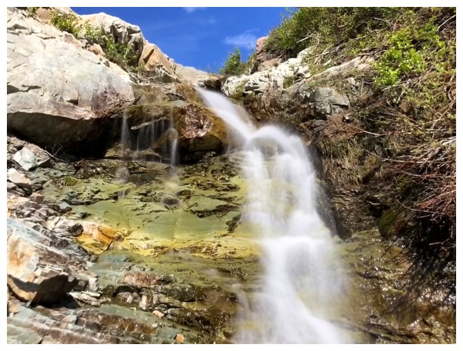
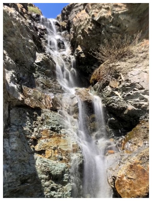
Starting up,
alongside the drainage, I noticed there was a small waterfall a short distance
up – maybe I would get to see a waterfall after all. I was dead wrong about
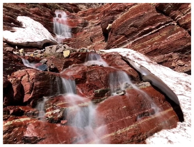
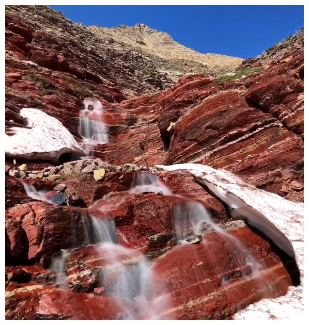
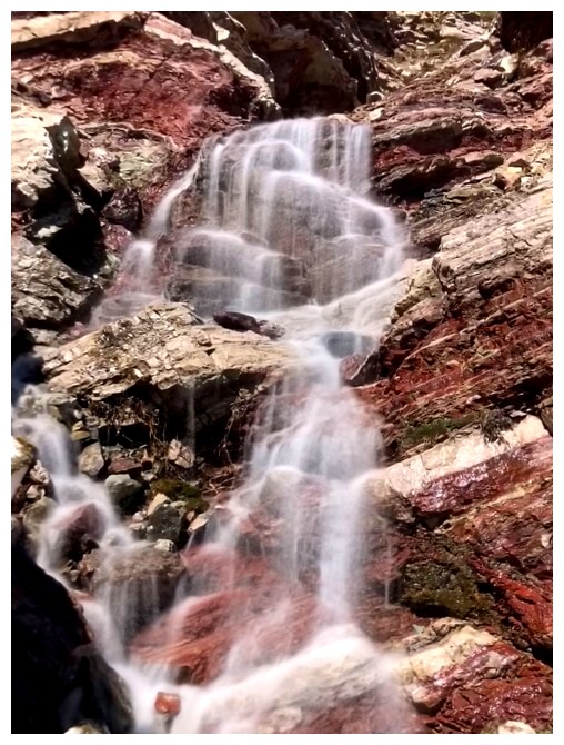
that too! The next several hours involved scrambling up an awesome drainage of
endless small waterfalls and cascades. The amount of water coming down was not
huge, but because of that I was able to stay near the watercourse almost
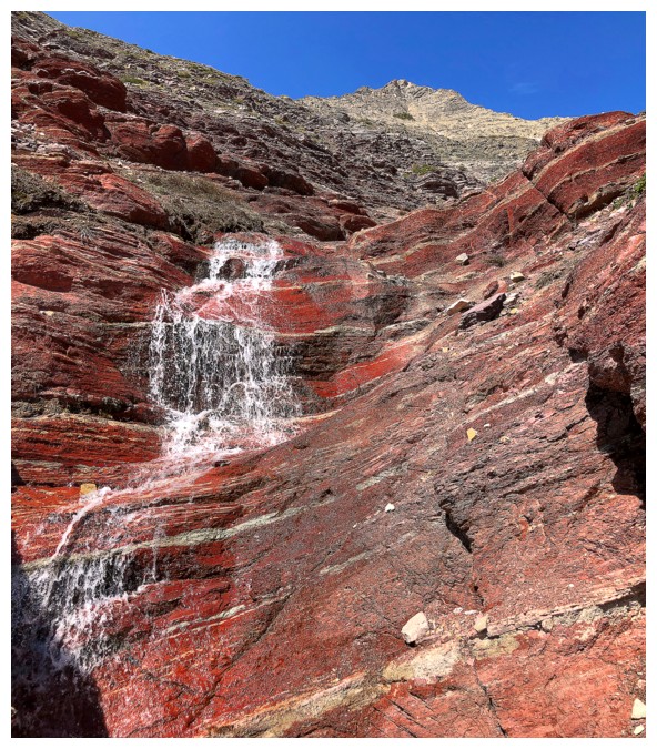
entirely throughout, scrambling up some pretty cool terrain. And yes, the drainage did go right through the red argillite
band I set out to see – superb!
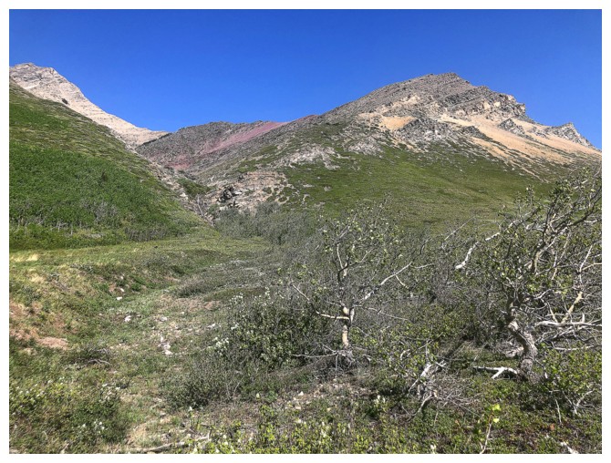
Higher up, I
set my sights on the next ridge to the west, again never having been there
before. I could have traversed steep scree slopes to get there but since I was
quite close to the summit of “The Knot”, trying to get to the unexplored ridge from that highpoint seemed like
a good idea. And it might have been, had I not arrived atop The Knot to the
roaring and startling sounds of thunder. Storms were rapidly approaching and
getting off the mountain promptly was more important than exploring an
alternate descent route. The fastest route to a less threatening environment
appeared to be the ridge and slopes to the east of my ascent route. It worked
well, and of course by the time I was halfway down, the storm had moved south
and was no longer a concern.
Overall, a
super rewarding and fun route up a familiar objective. Like the awesome Foo Fighters, Drywood Mountain
continues to release one hit after another!
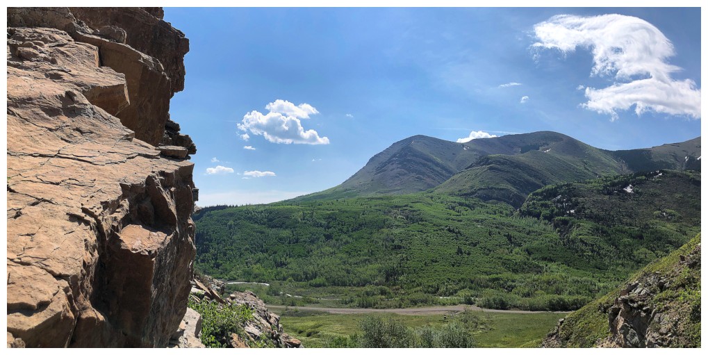
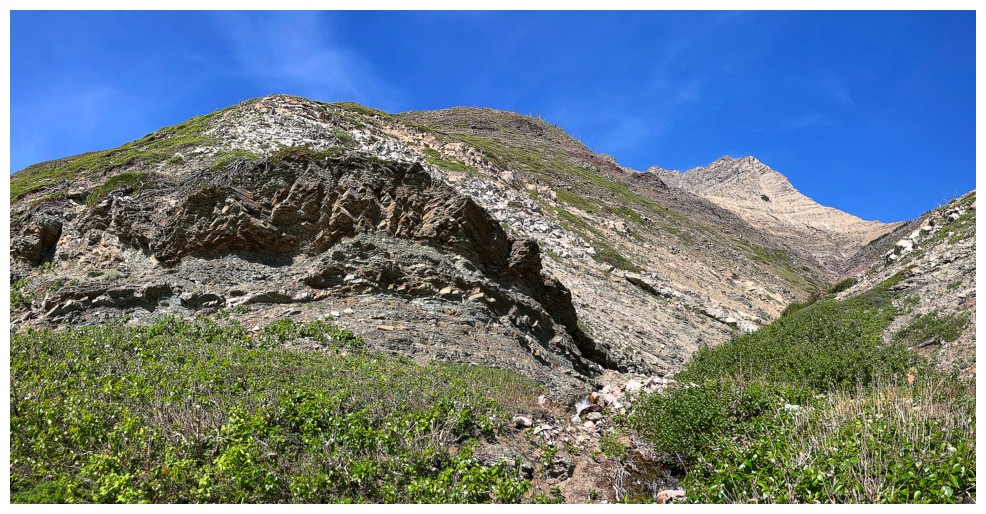
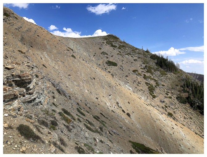
Drywood Mountain from the gas road
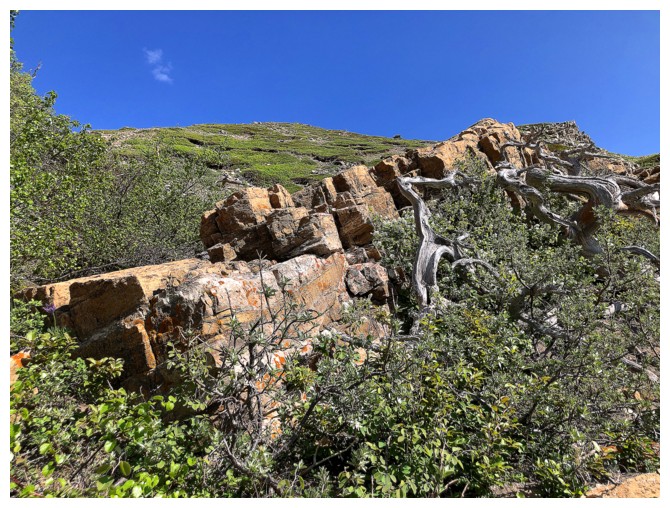
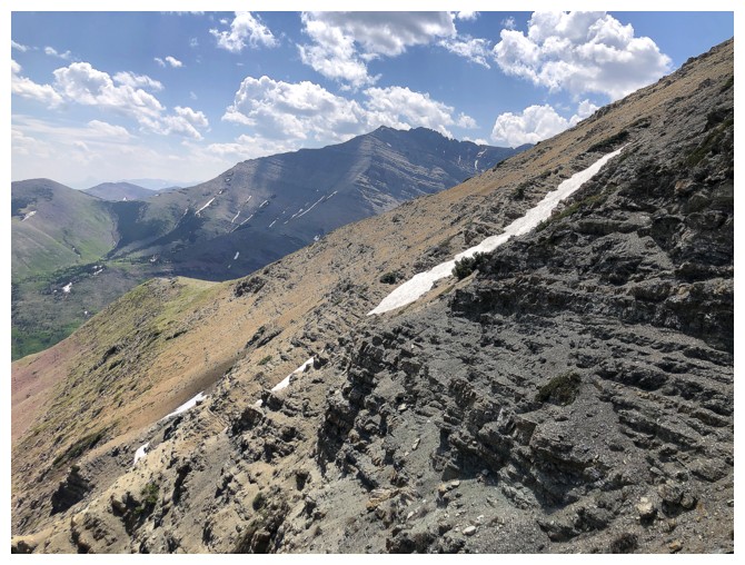
Near the start of the planned route. The red argillite outcrop can be seen just left of centre.
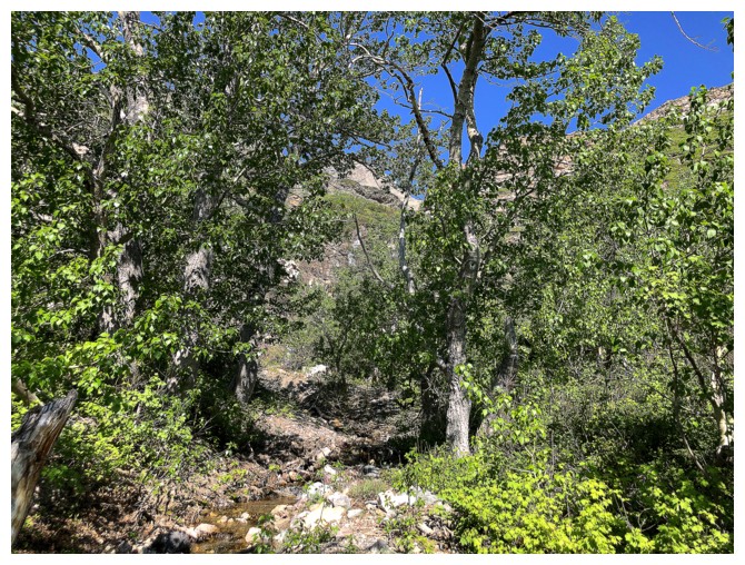
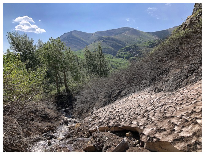
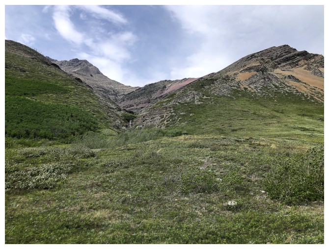
The initial part of the drainage is a little treed
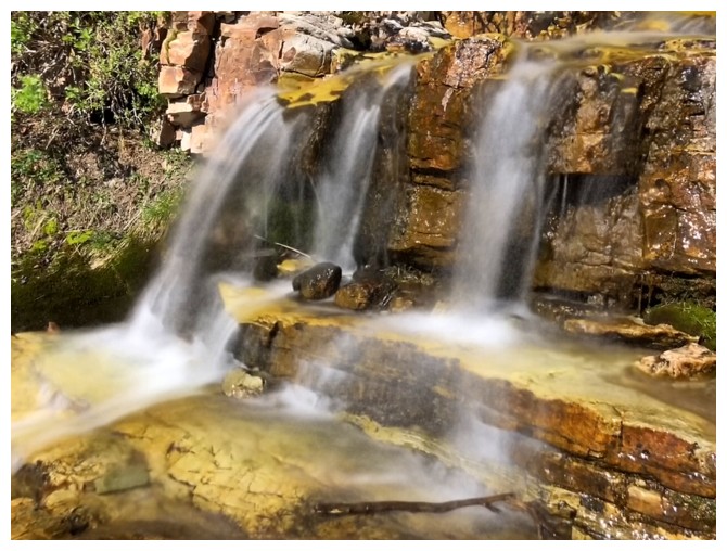
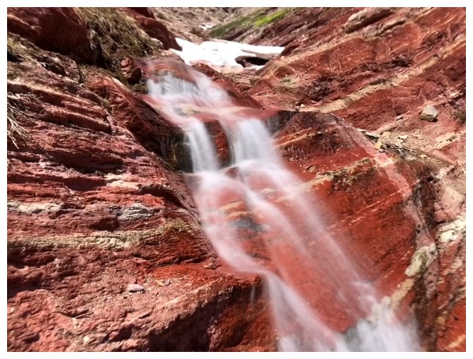
The start of the water scenery
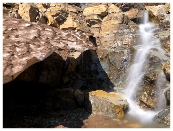
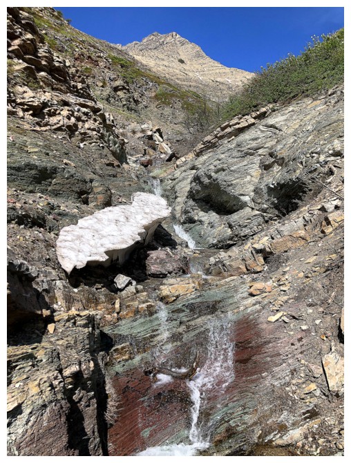
Dirt-covered snow at the left and a small cascade at the right
Looking back to The Muffin and The Croissant
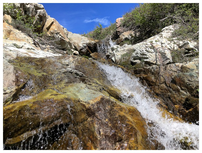
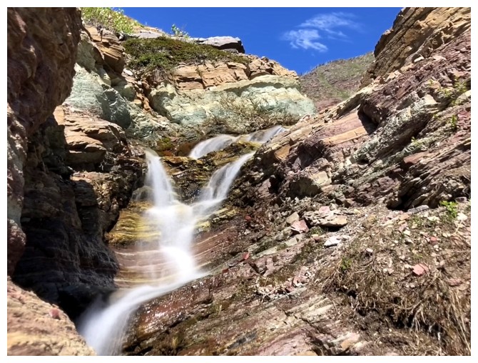
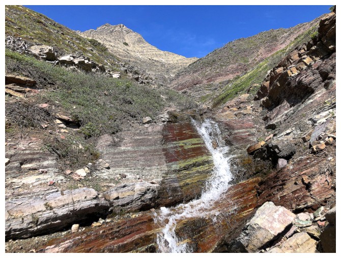
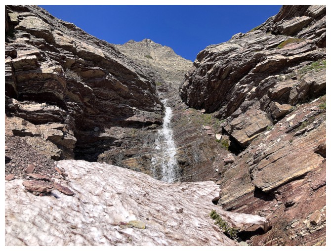
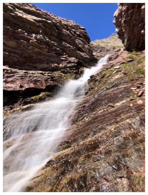
The small cascade and another above it
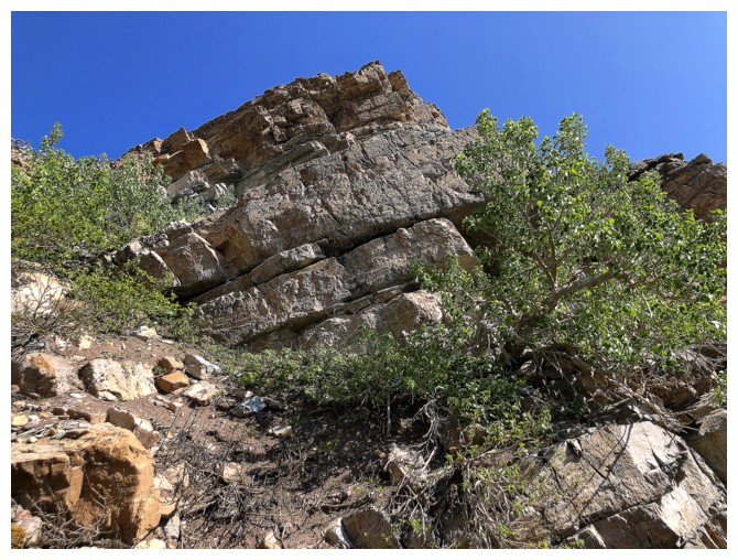
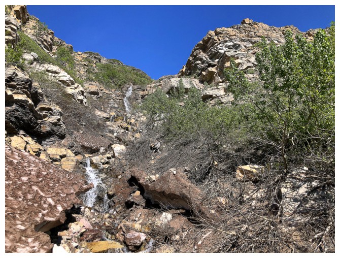
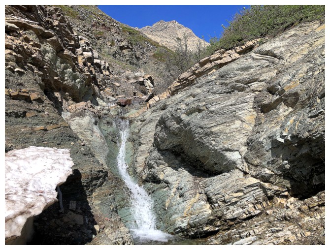
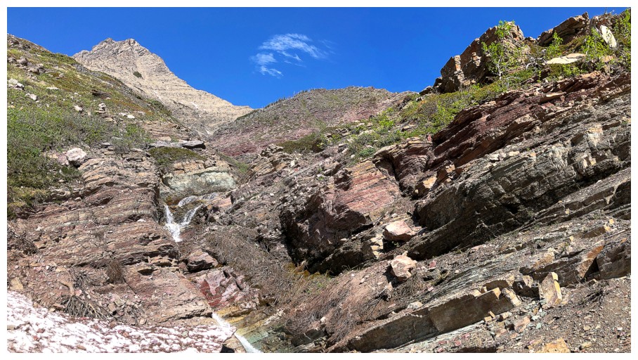
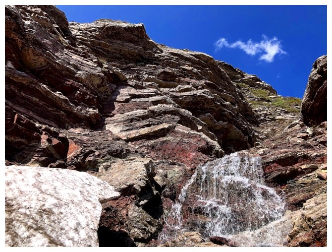
Excellent rock scenery on both sides of the drainage
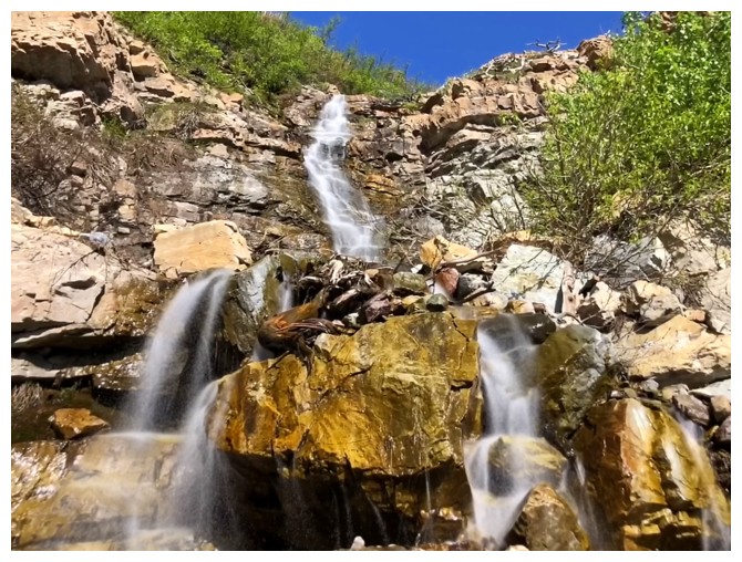
The next set of cascades
And another - already more waterfall scenery than I expected to see and I'm hardly 50 metres up the drainage!
Nice scrambling on the right side of the drainage
The Muffin and Croissant look so green from the north but they are both super colourful peaks
Back to the rock in front
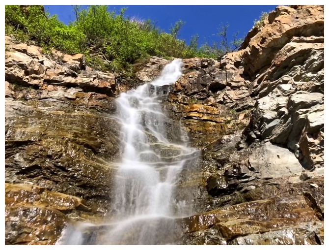
And the many, many small waterfalls
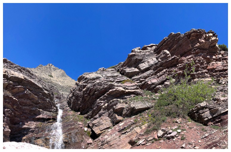
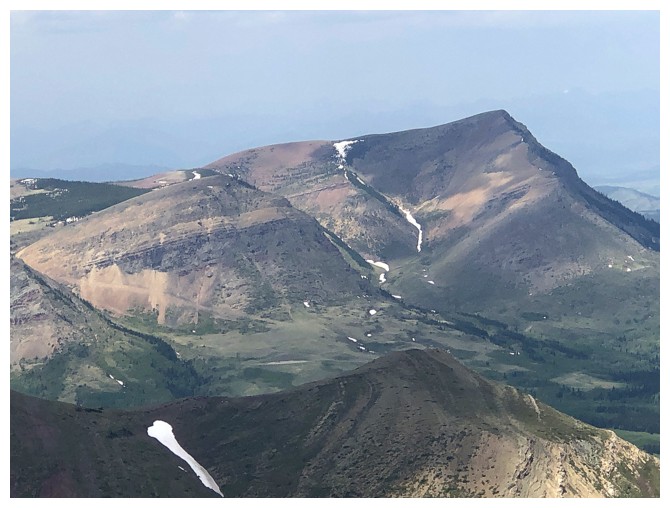
Bakery Peak and Icing on The Loaf Peak
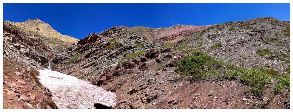
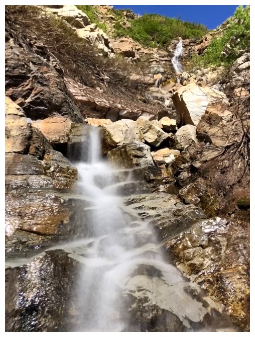
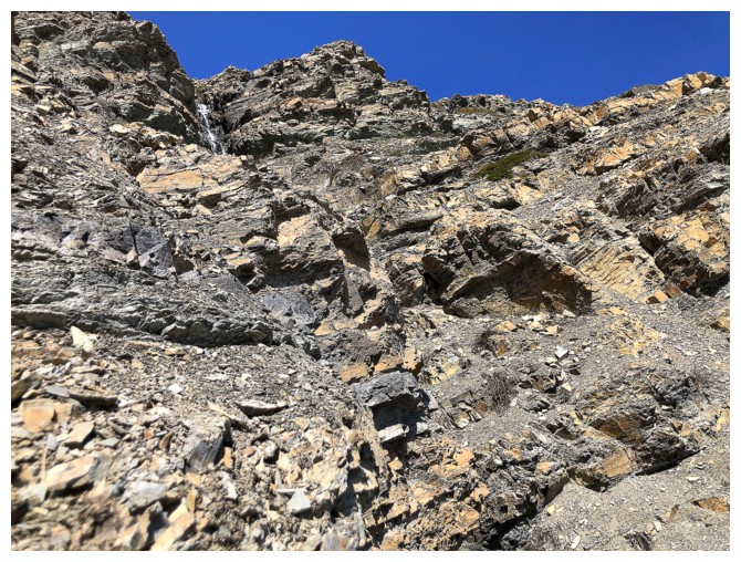
Continuing up
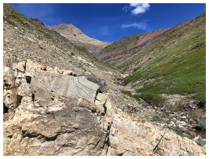
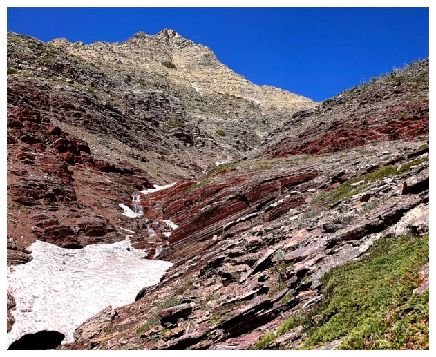
The red argillite band appears in the distance
But there will be many waterfalls before reaching the red
...and cascades
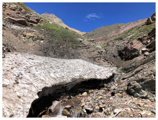
...and a few surprising patches of tenacious snow
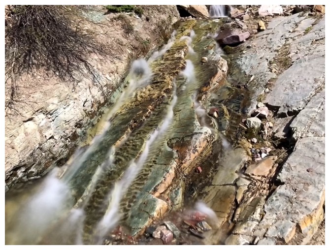
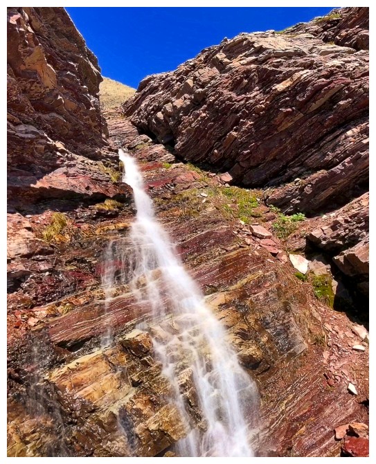
The next section was one of the most colourful
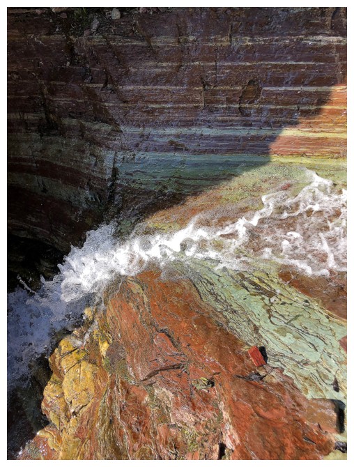
No need to go nuts with the long exposure photos!
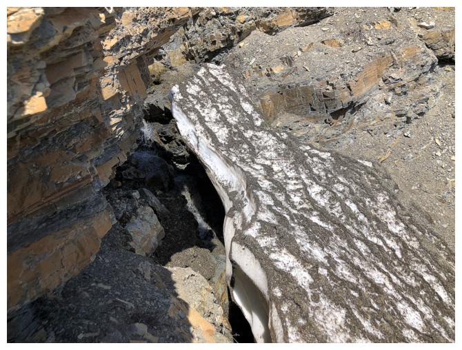
Another snow patch - this one was supportive but that couldn't be said of all of them
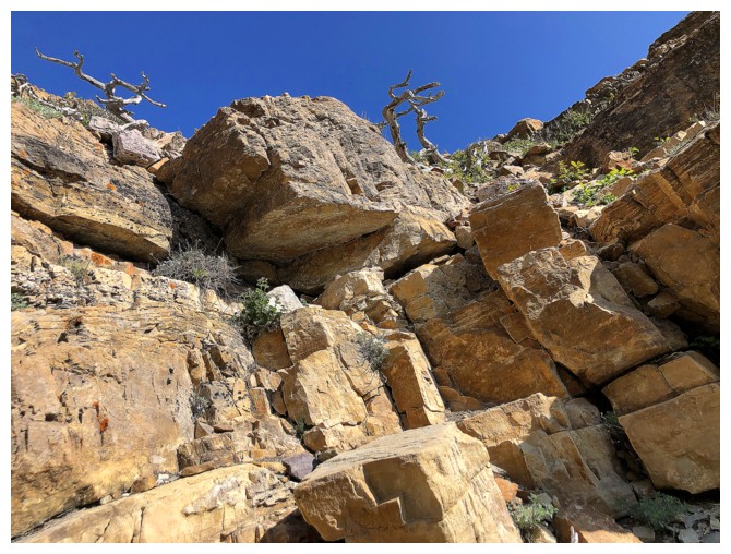
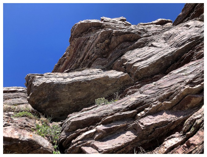
The rock on the left side of the drainage looked to provide some good scrambling
...but leaving the drainage was impossible because of its scenic value
Decided not to step on this patch
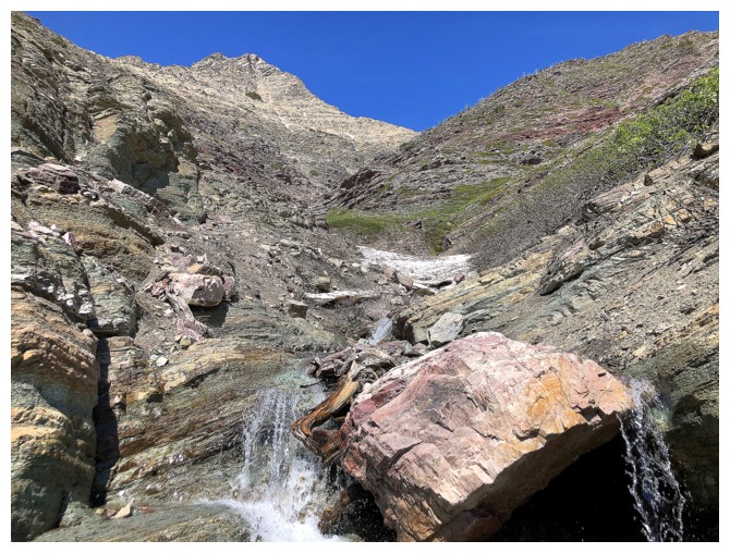
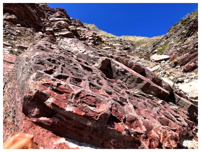
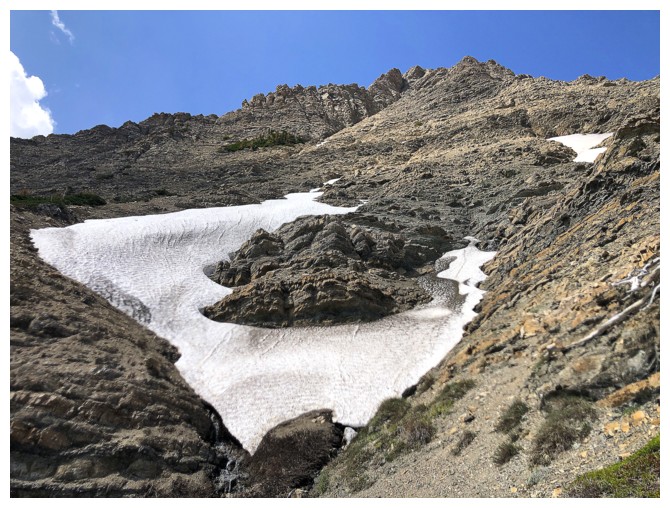
Approaching a very cool section of the drainage
Same as above
Back to the long exposure photos! Could have scrambled up the right
side but it was interesting to leave the drainage for a brief section.
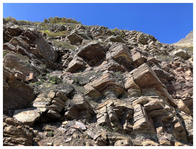
...to see these cool layers of rock
Heading back into the drainage and here comes the red argillite!
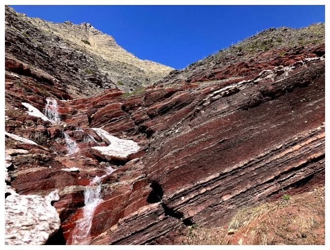
A nice warm-up
ditto
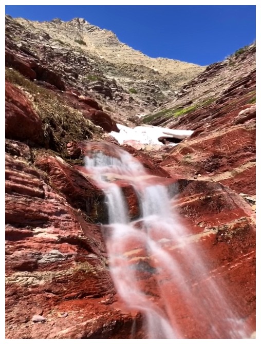
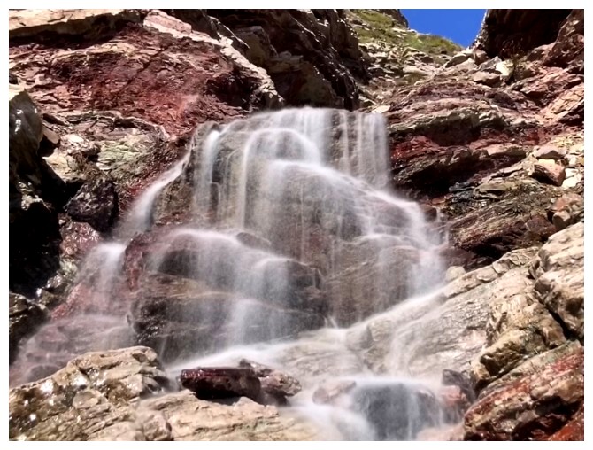
...for this!!
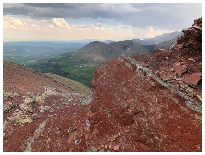
The best part of the drainage featured the brilliant red rock I love so much
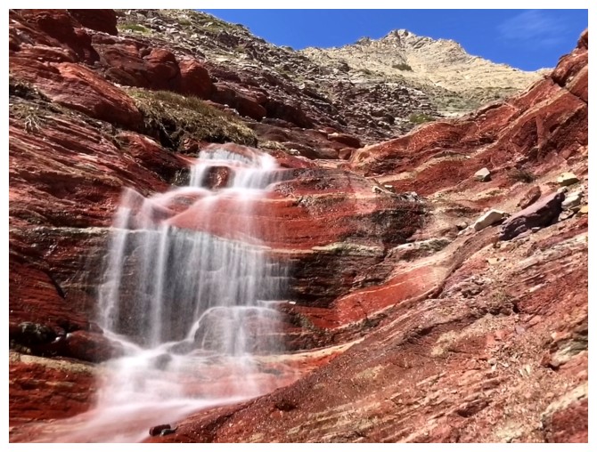
"All Good Things...." - still one of my favourite episodes of Star Trek TNG!
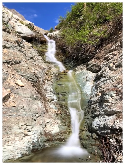
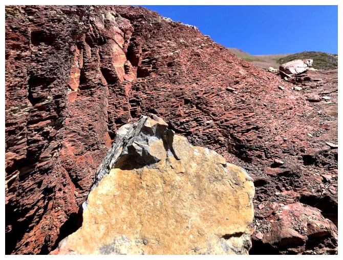
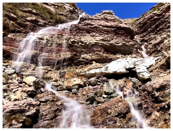
Last piece of argillite for a while
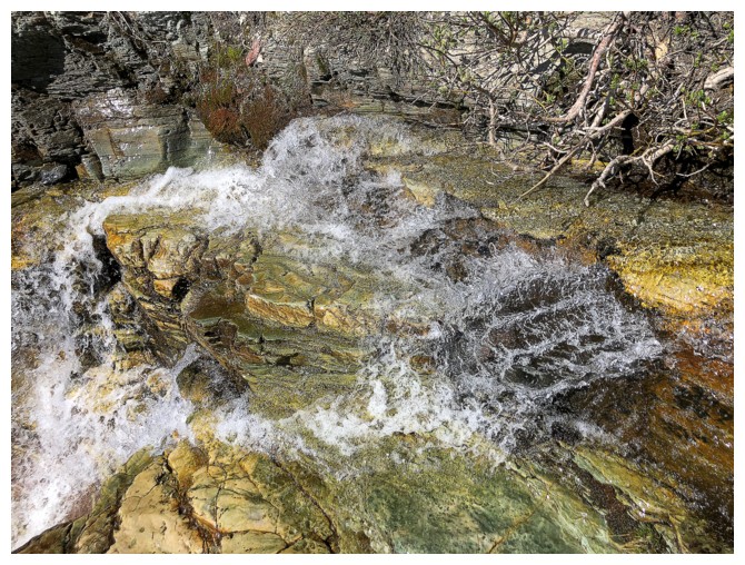
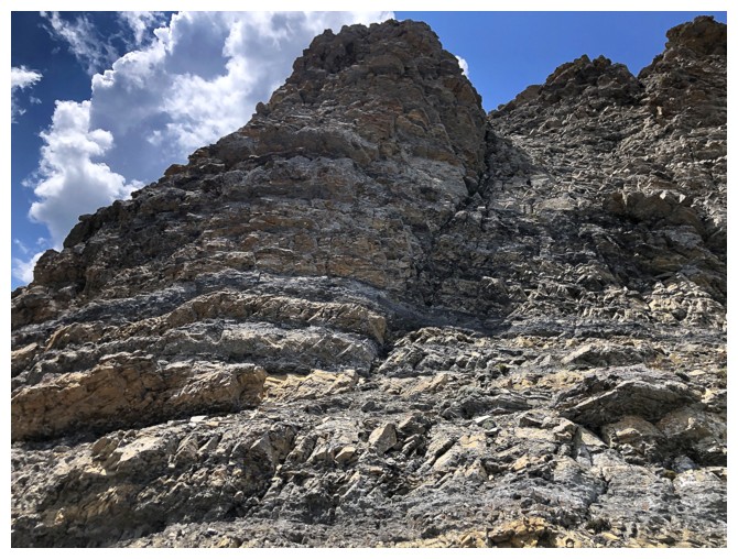
But replaced by equally amazing rock
Same as above
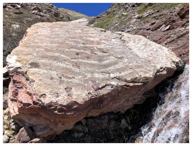
I spoke too soon about the red argillite!!
...and about going nuts with long-exposure photos!
Definitely done with the red now!
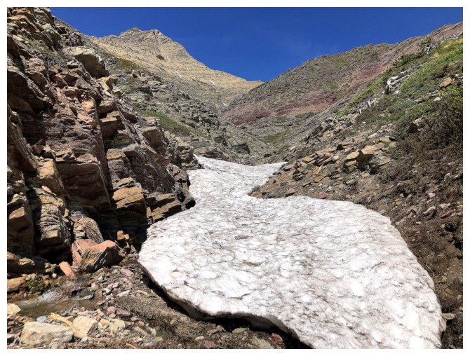
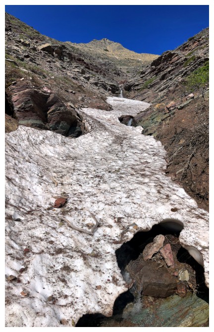
Although this looked like scree and rubble only, it's actually a huge snow patch covered in fine scree and dirt
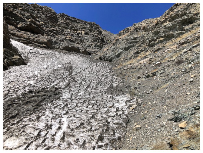
Less dirt higher up
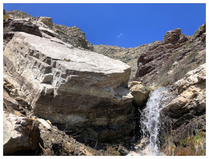
Not much water now, but the drainage is still flowing
This snow patch was hiding a huge hole below - extra care needed
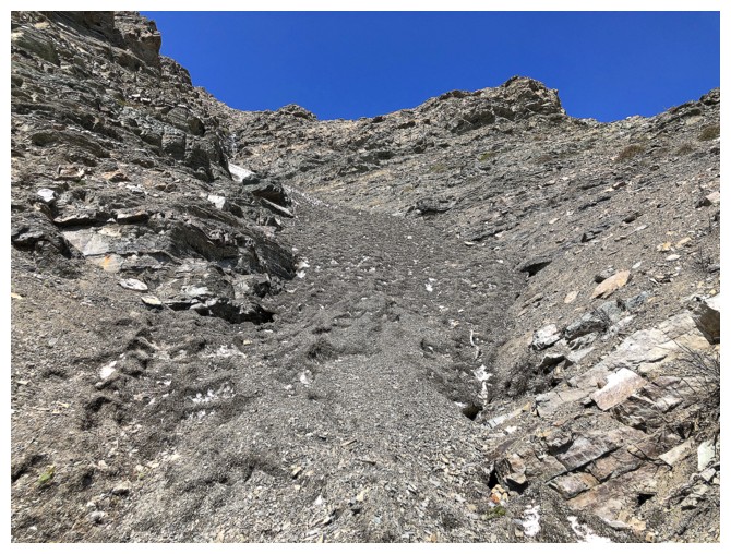
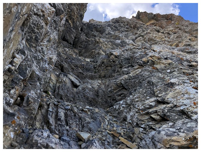
Things are getting pretty serious here. I left the drainage at this point.
Looking right to Woody
Looking left to the other ridge I wanted to explore
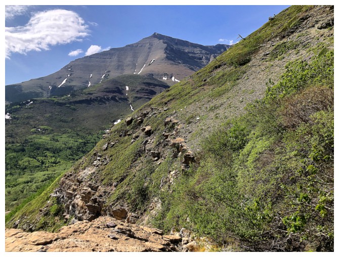
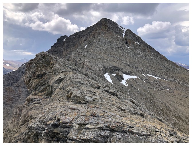
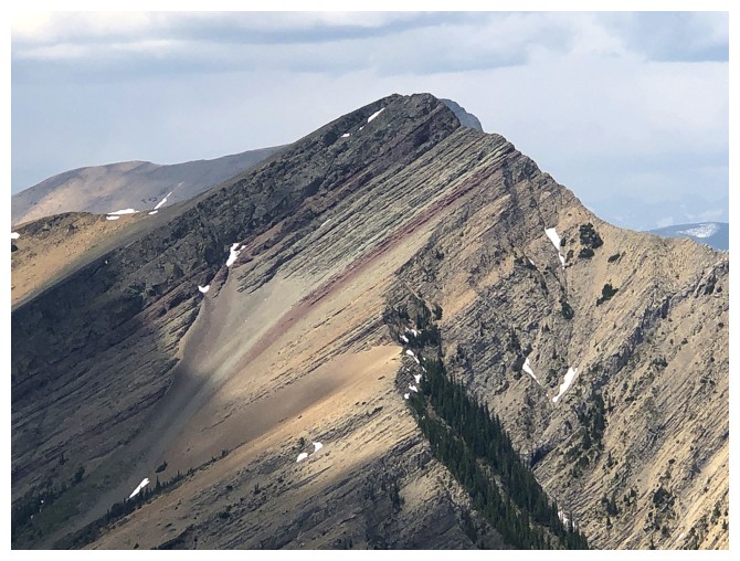
Looking straight up to The Knot
Barky and Stumpy at the right, Prairie Bluff just left of centre
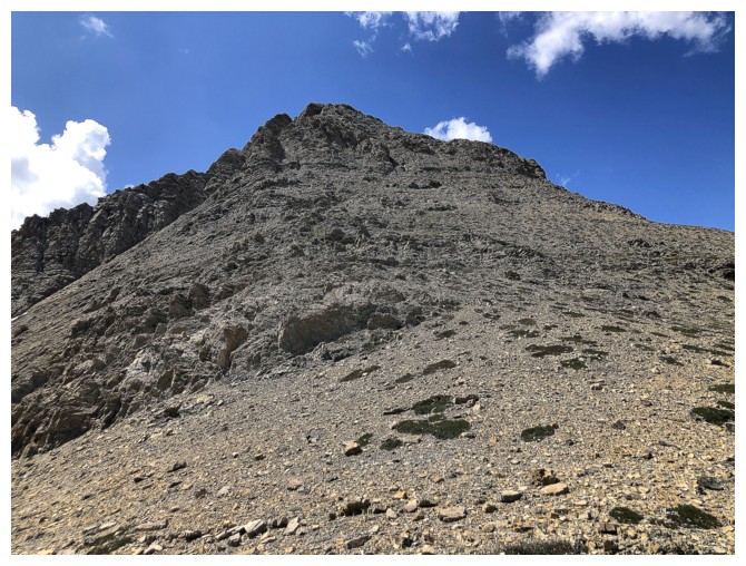
Heading up to The Knot
Tried to take a more challenging line over to the left
Still distracted by that other ridge
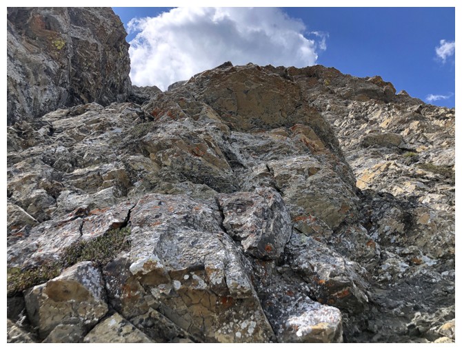
Fun terrain
But then it got very steep and I traversed right, over to the easy line
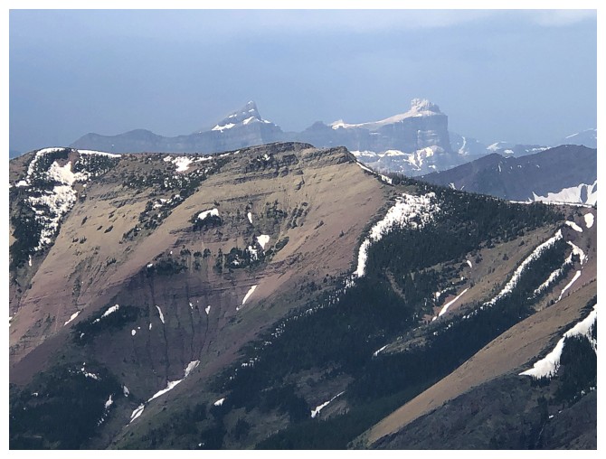
Victoria Peak joins the show
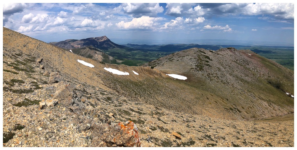
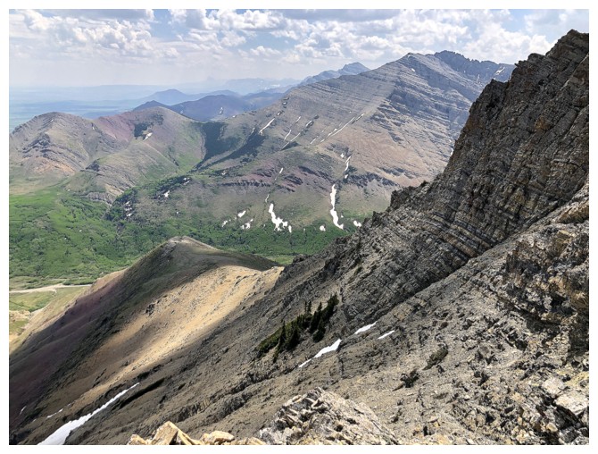
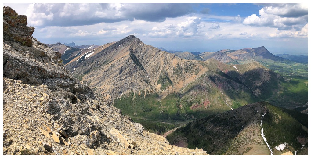
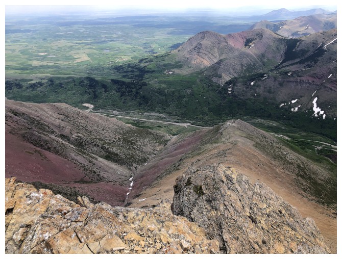
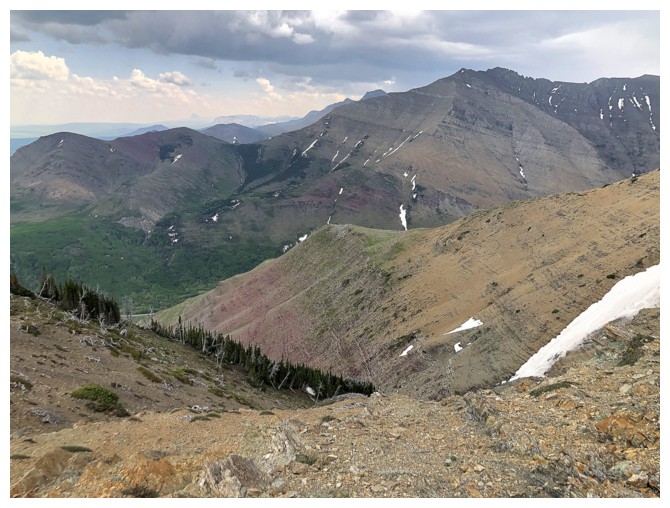
Drywood Mountain, from the summit of The Knot
Brooding clouds over Loaf
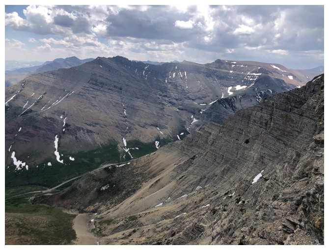
Looking down the route I wanted to try. There are many cliffs that would require circumventing and lots of route-finding.
Windsor Mountain and Castle Peak
Pincher Ridge immediately north
Prairie Bluff again
Gettin' outta Dodge!
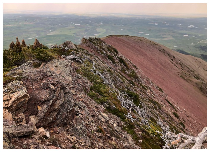
The other ridge is familiar terrain for me
Part of the same argillite band I encountered on ascent
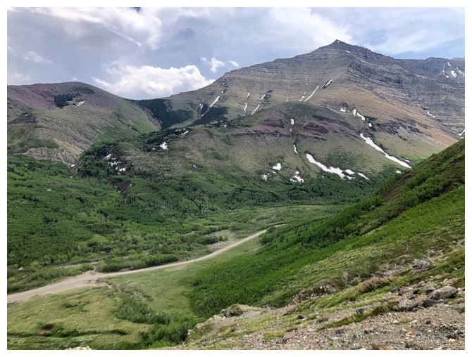
The bad weather has passed. Enjoying an easy descent back to the gas road.
Looking back at the route
The End
LOG