Copper W2 (Ski Hill Peak)
May 1, 2025
Mountain height: 2500 m
Elevation gain: 1050 m
Ascent time: 4:30
Descent time: 3:35
Solo snowshoe.
This minor
summit would have not even made it on the radar had it not been for Devan
Peterson’s Facebook post on April 11. As an outlier of an outlier of Gibbon
Pass Peak, you would think W2 would garner little attention. However, Devan’s
photos looked really cool and so on the radar W2 went. (Having almost made a
career of ascending unnamed, minor outliers, I should know better than to
underestimate the scenic potential of any little peak!)
Since the nine days of my existence preceding May 1, 2025 had been spent on a beach in Mexico, I was looking for a short
trip to reacquaint my body to physical exertion greater than adjusting the recline
angle of my beach-chair! W2 would not be short (20 km round-trip), but I
reasoned that much of the approach could be essentially snow-free and once
off-trail, I might be able to follow Devan and his partner, Aaron Fulmek’s, snowshoe
tracks to the summit.
I was wrong
about the snow-free nature of the approach, however, the packed-down snow made
for 6 km of relatively easy travel on foot, along the Twin Lakes Trail. Good
thing, because the scenery en route is nothing to write home about! Once
off-trail, I put snowshoes on and was able to follow Devan’s snowshoe track up
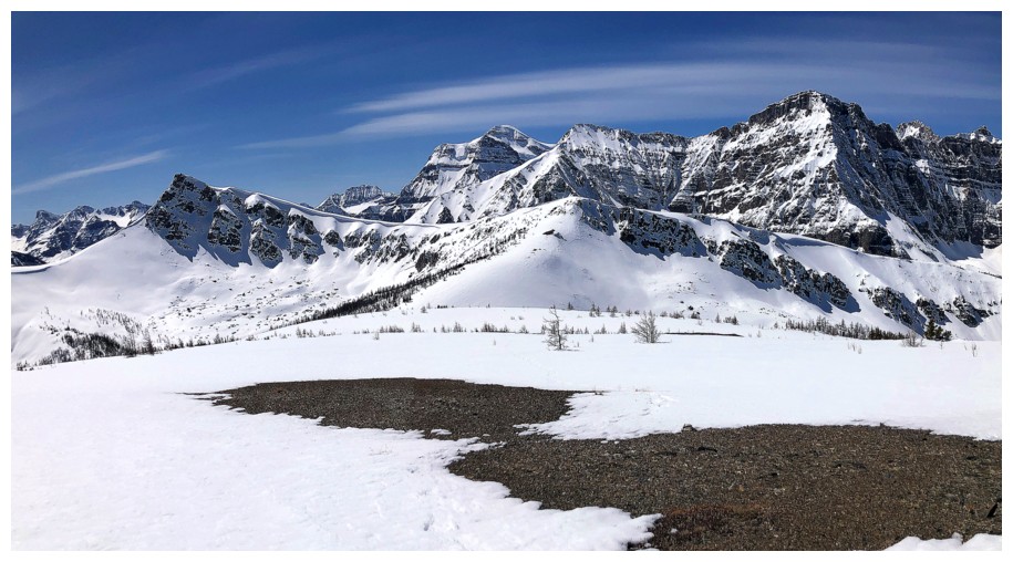
the drainage. The scenery eventually did improve, but it’s not until you are
almost at the top that the panorama completely unfolds – and a
magnificent one it is, well worth the relatively viewless effort of getting there.
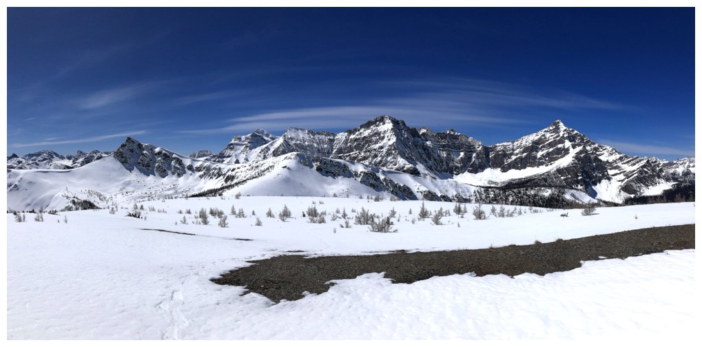
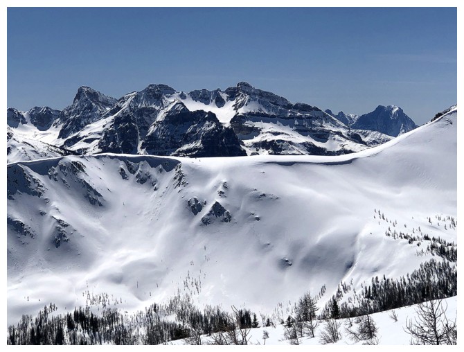
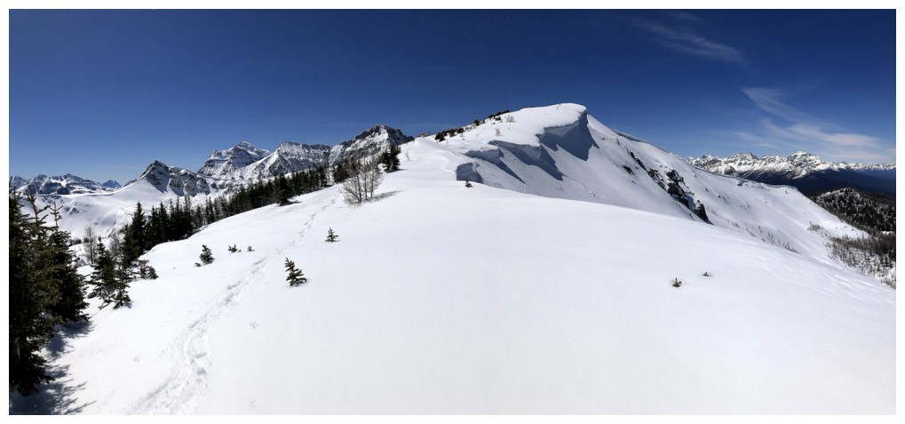
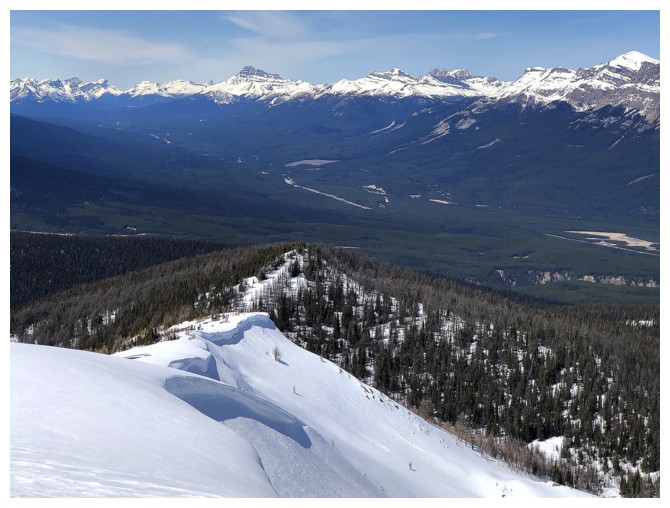
To my surprise,
Gibbon Pass Peak blocked very little of the view to the southwest and its
northeast face was, in fact, one of the highlights. Of course, the nearby Storm
Mountain massif was incredible, but so were views towards the Egypt Lake area
and the west sides of Pilot, Brett, and Copper.
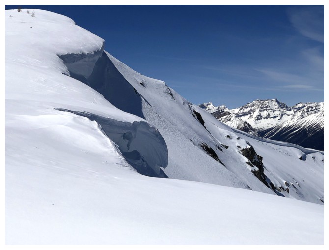
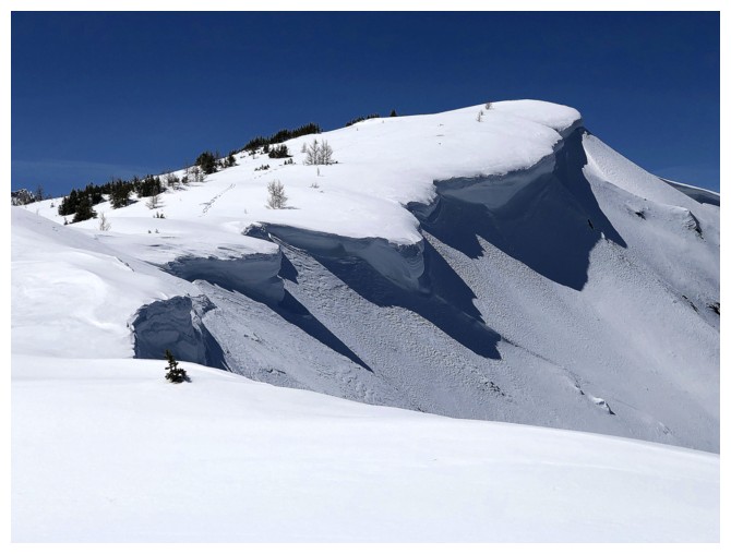
Also of great
interest was the cornice on the northeast side of W2. Of course, I couldn’t get
anywhere near the edge to see it, but a short side-trip down the east ridge might offer some
views. And it did. In fact, it turned out to be a longer side-trip than
planned, as views improved with each metre of elevation lost. Had my energy
level been higher I could have continued to the next highpoint,
west of Copper Mountain. But it wasn't and I didn’t.
Back at the
summit I was looking forward to a fast and almost effortless descent; and for
the first two out of ten kilometres, my wishes were granted. The next six,
however, were brutally strenuous and mentally-defeating. The snow for this
section had softened considerably during the day and even with snowshoes I
ended up punching through the crust into deep holes. Back on the main
trail conditions had also deteriorated. Mercifully, the final two kilometres were
much easier, with limited snow. Still, I was completely wiped-out by the time I
reached the parking lot – good thing I had all four NHL playoff games for the
evening taped, as I was not going to be moving off the couch!
Besides the
lacklustre approach, this is an outstanding objective, with amazing views. I
would even consider repeating the trip in the summer and then continuing on to attempt
Gibbon Pass Peak or east towards Copper Mountain. Huge thank you to Devan and Aaron
for paving the way, with the Facebook post AND the trail-breaking!
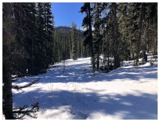
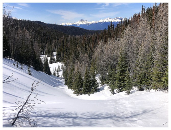
The only view you will see for the first several hours of the trip. Helena Ridge in the centre and Eisenhower Peak at the left.
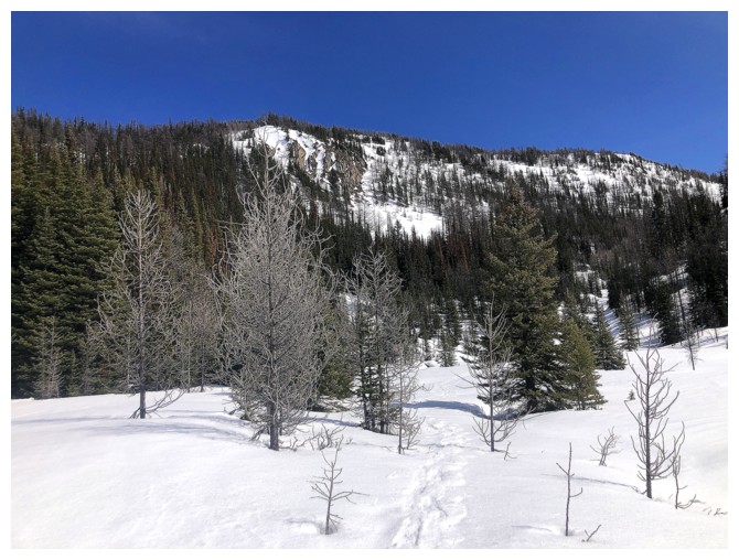
Two hours later, leaving the main trail
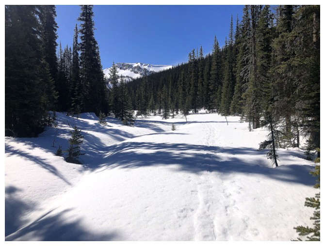
First view of another mountain since seeing Helena
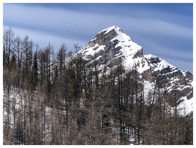
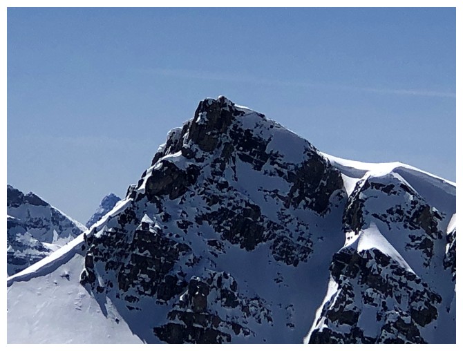
Close-up. It's the northern outlier of Gibbon Pass Peak.
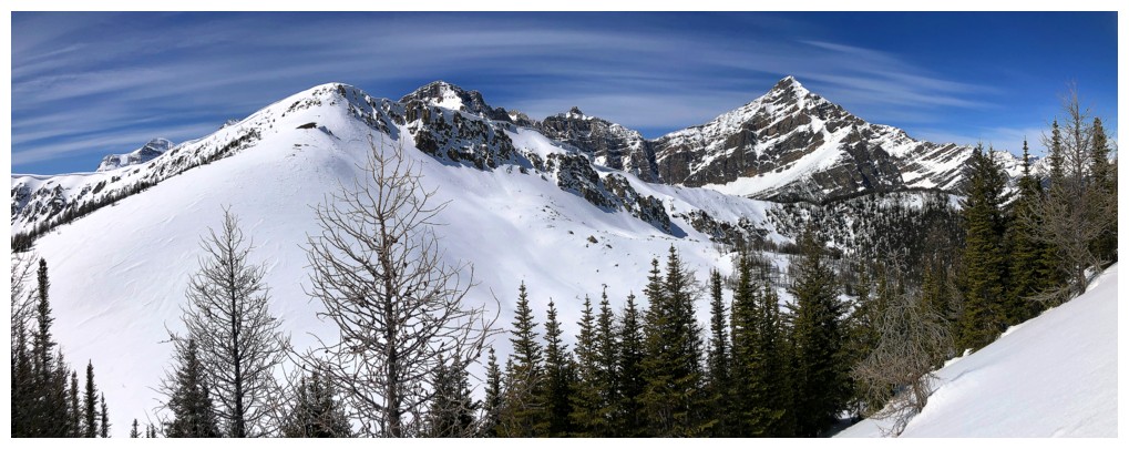
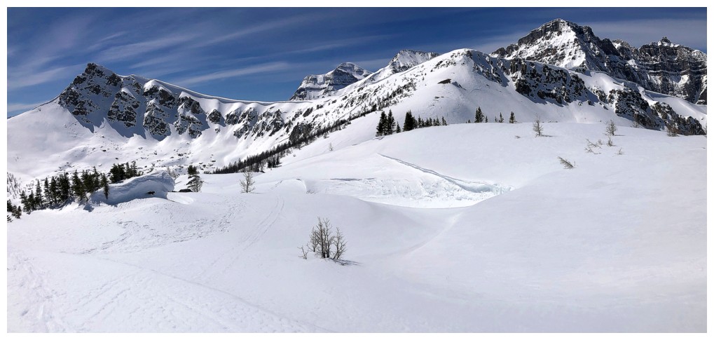
Copper W2 at the left and the Gibbon outlier right of centre. The ascent route goes between the peaks.
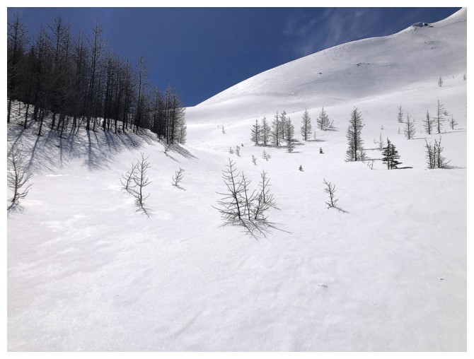
Faint snowshoes tracks on the left and ski tracks on the right. Apparently the name Ski Hill Peak is justified!
The east ridge of the outlier looks gentle from this angle, but not so by the time you are below it
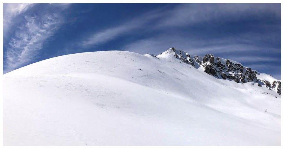
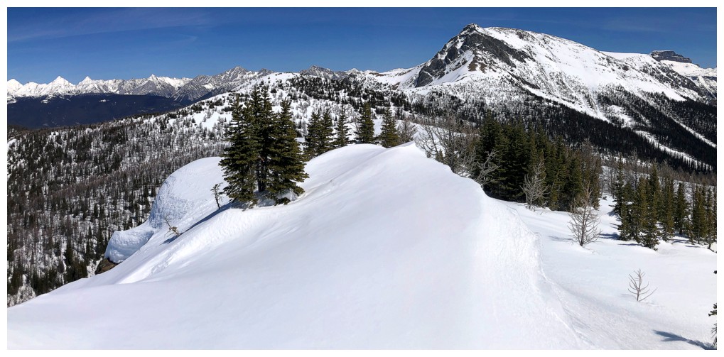
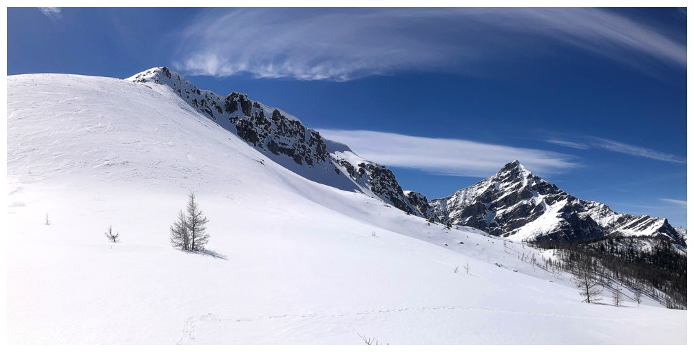
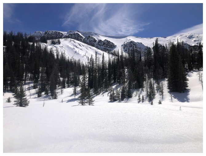
Until more peaks are visible, the outlier is going to get lots of attention
View back down the ascent route
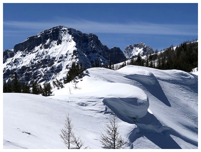
Another peak joins the fray - it's Storm Mountain
Close-up

Back to the outlier
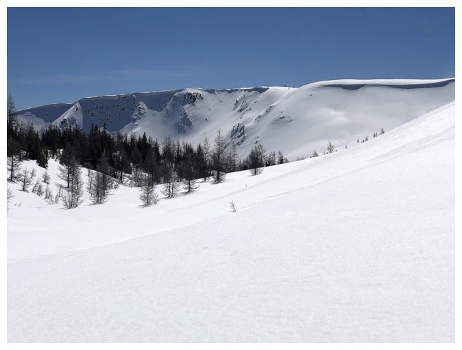
Easy slopes lead to the col between the outlier and W2
Same as above
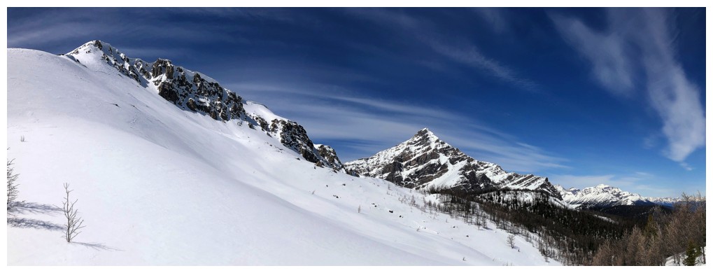
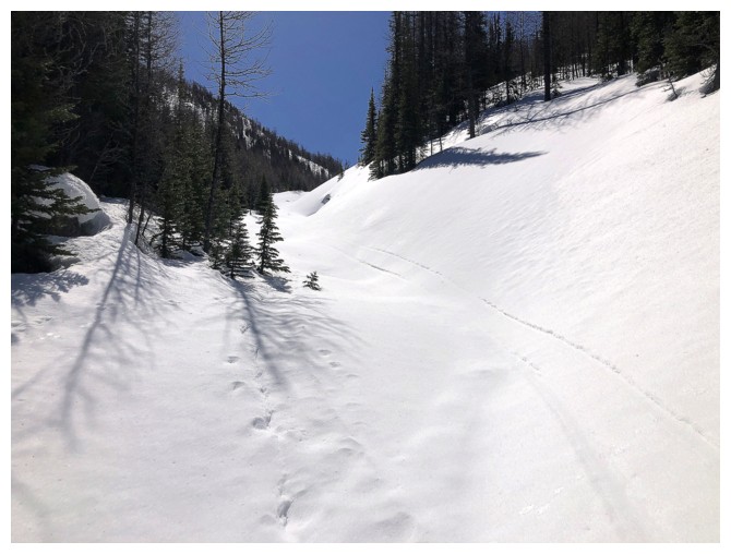
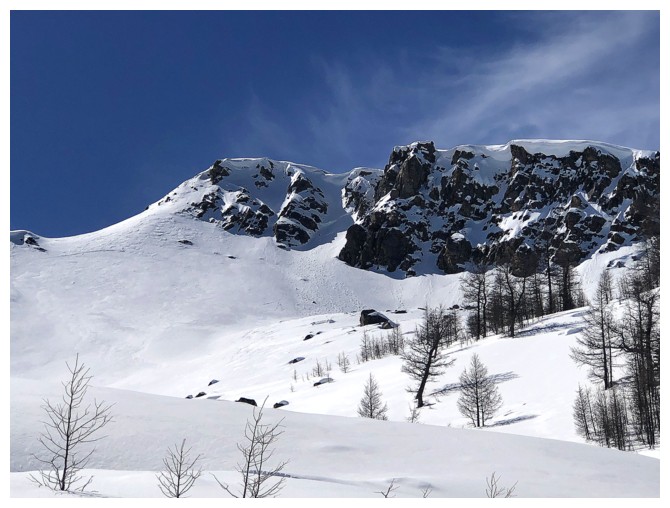
Looking up the east ridge of the outlier. It's much steeper than it looks and could be avalanche prone.
Better view Storm's southeast side
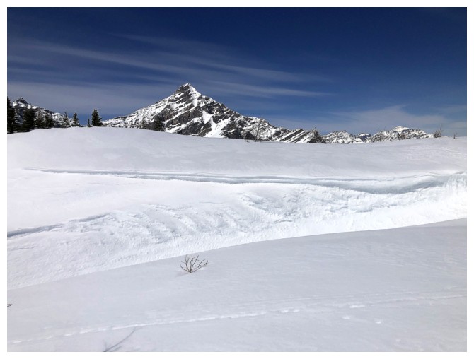
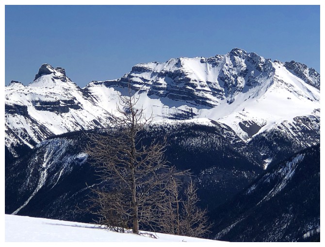
The east ridge of Gibbon Pass Peak
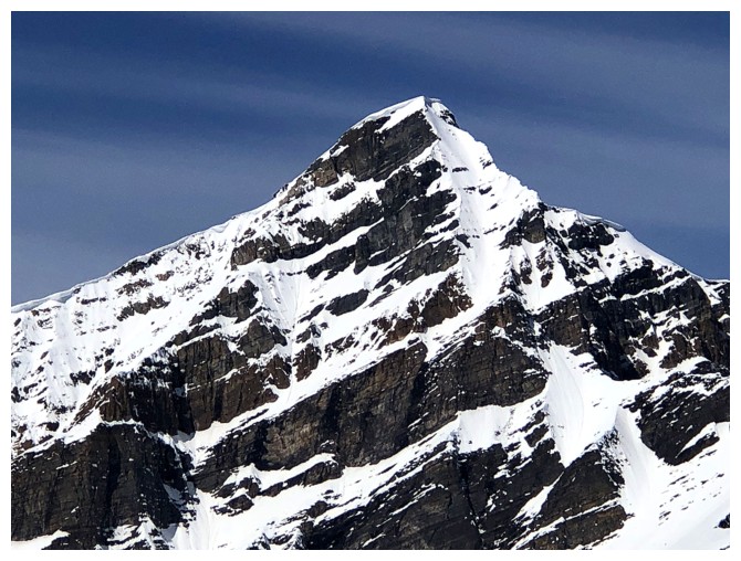
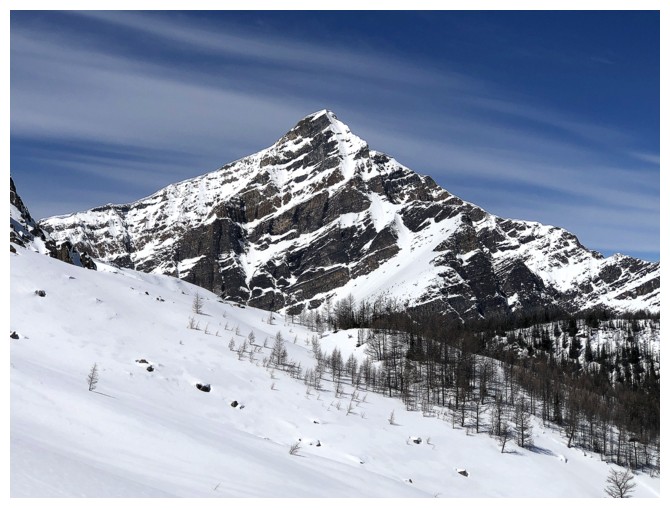
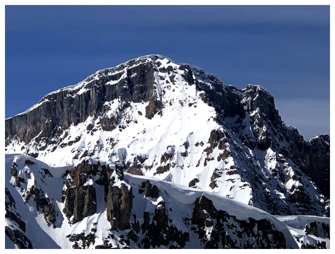
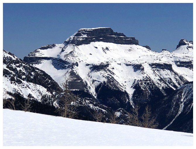
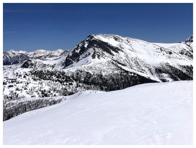
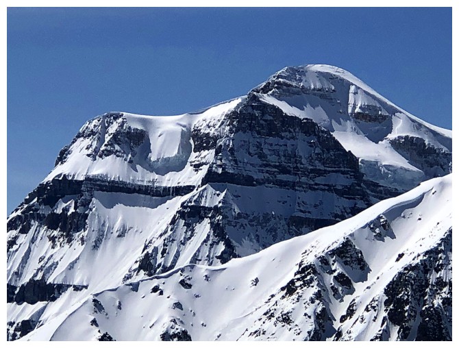
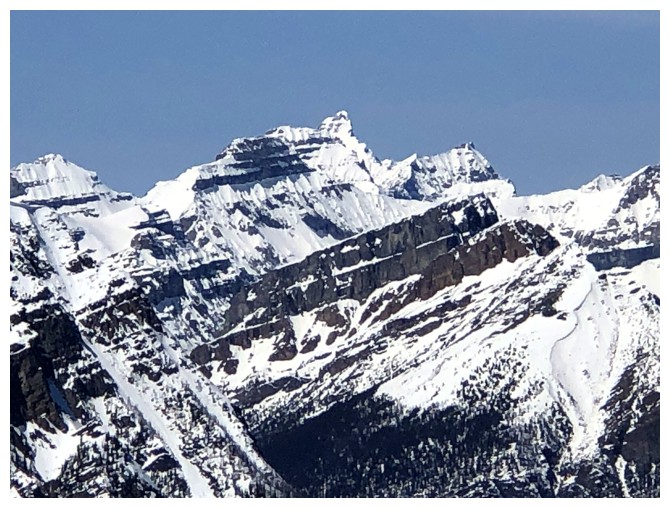
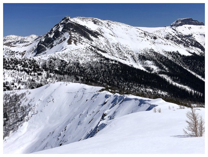
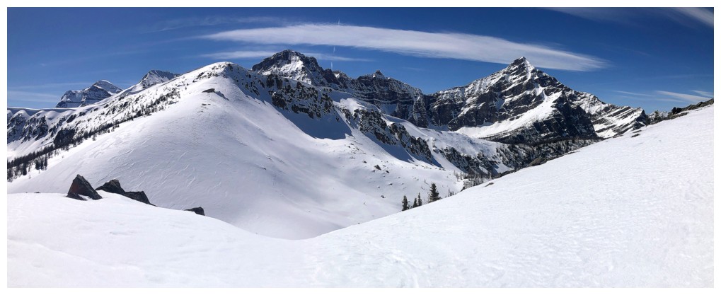
Finally, the actual Gibbon Pass Peak (also called Little Copper)
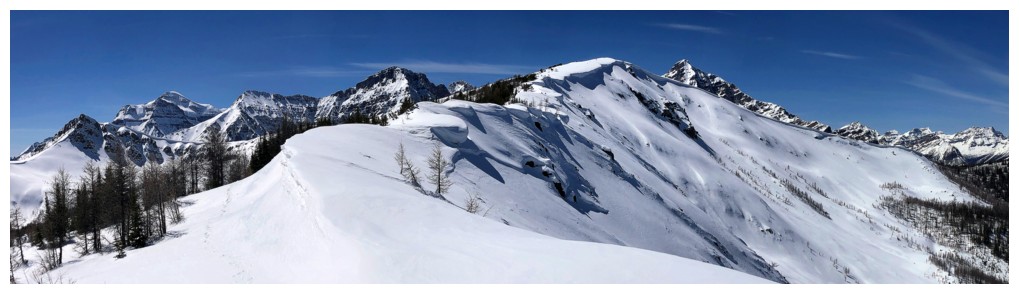
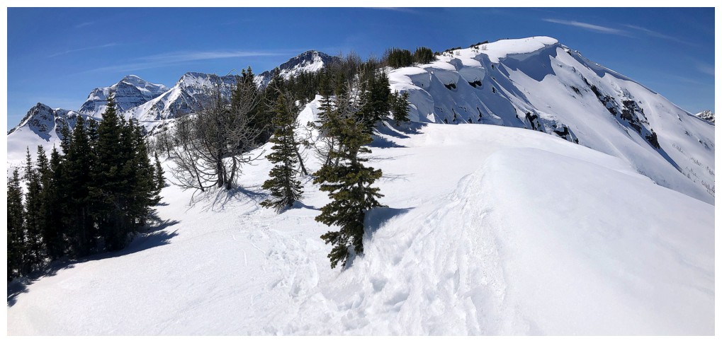
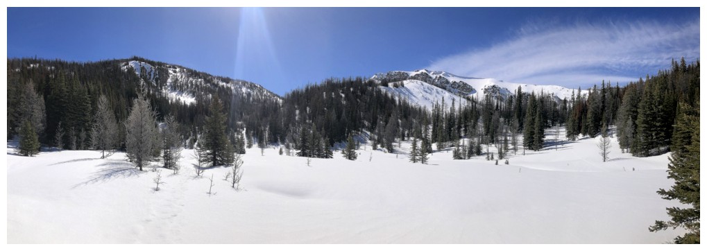
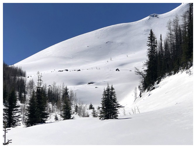
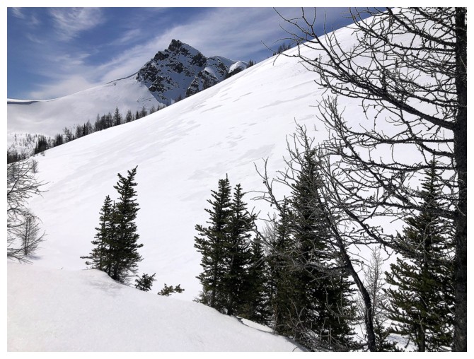
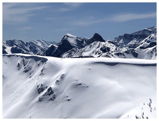
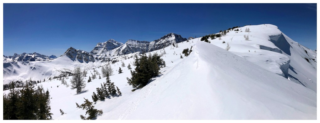
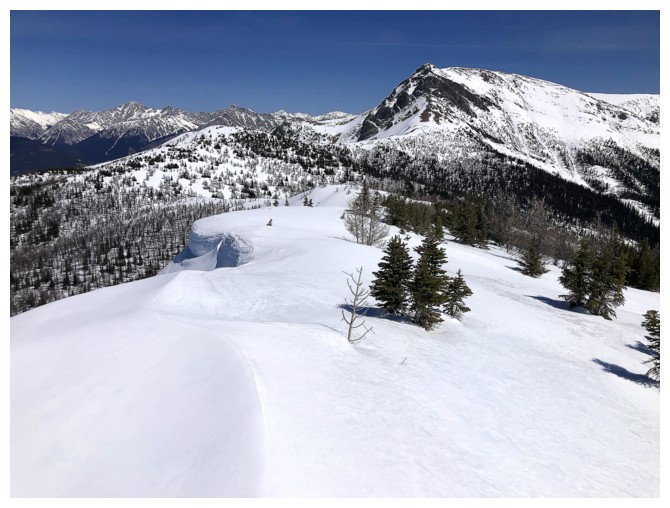
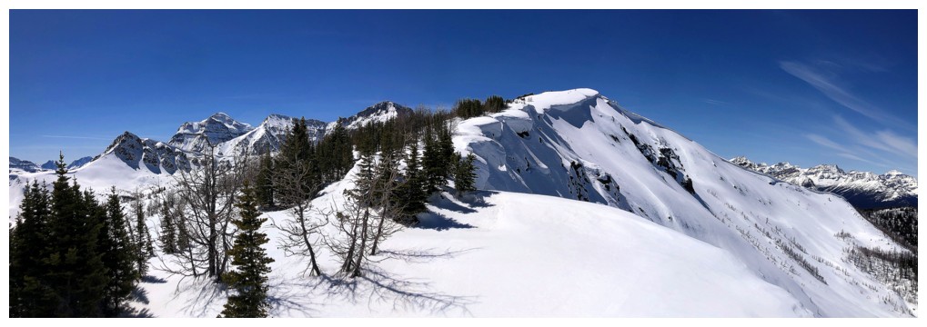
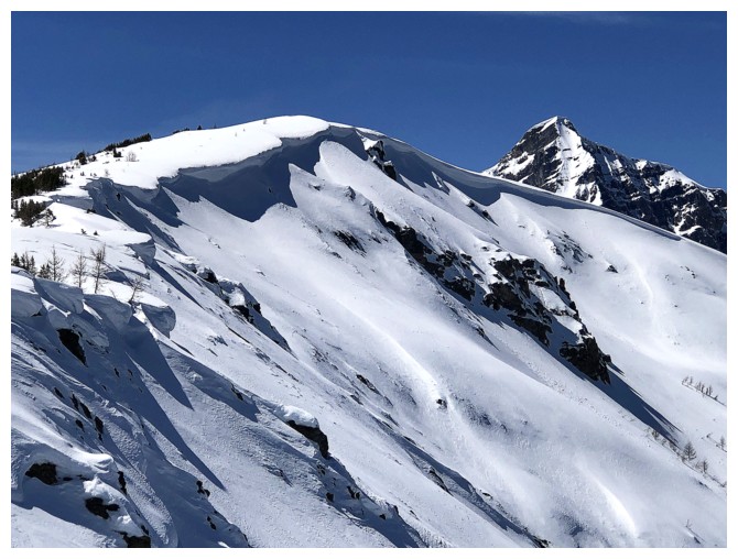
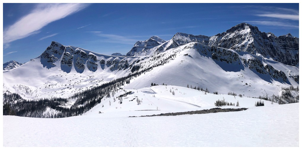
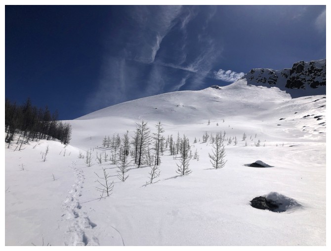
Ascending W2, as the overall view really starts to open up
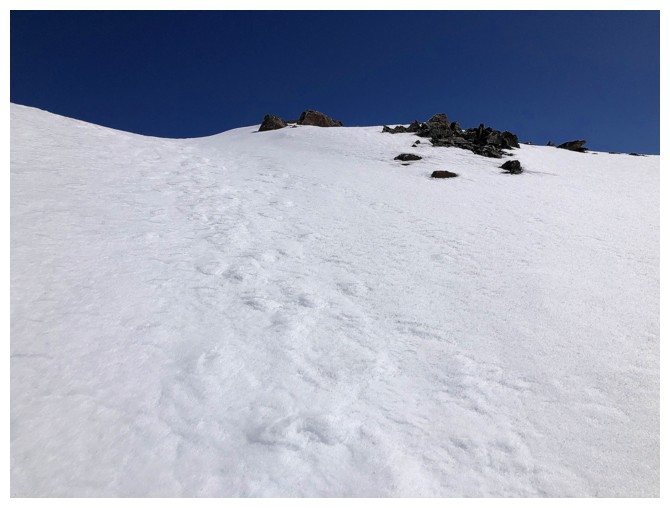
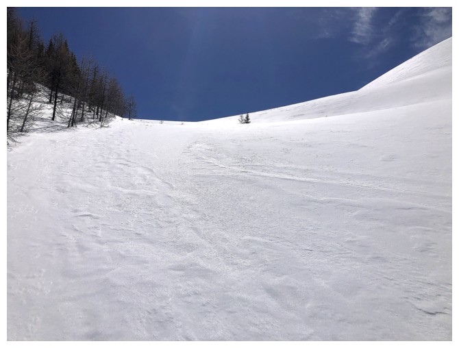
The first part of the ascent is quite steep, but the angle eases for the last stretch to the ridge
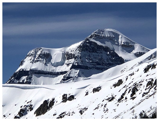
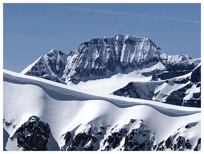
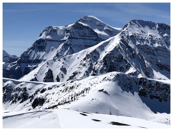
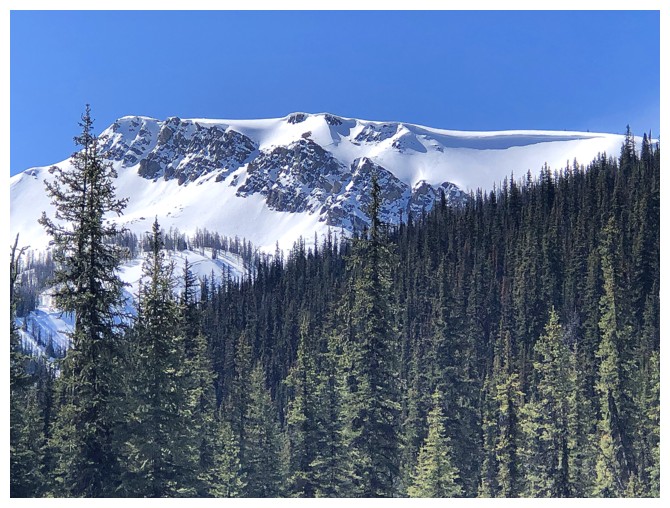
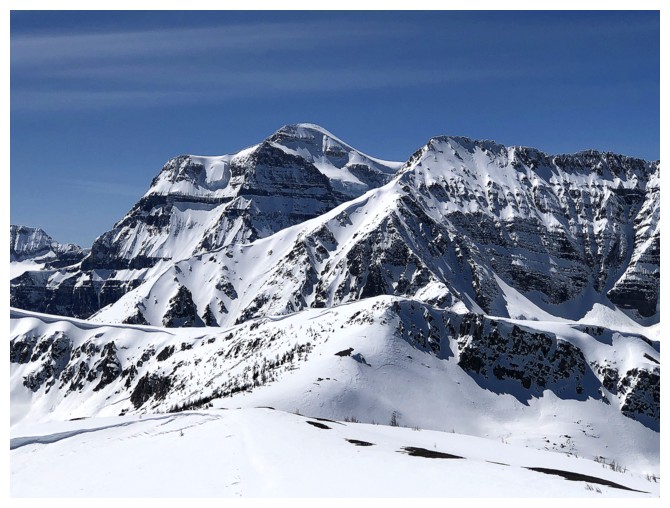
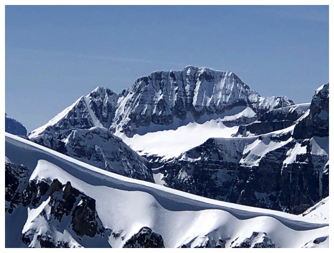
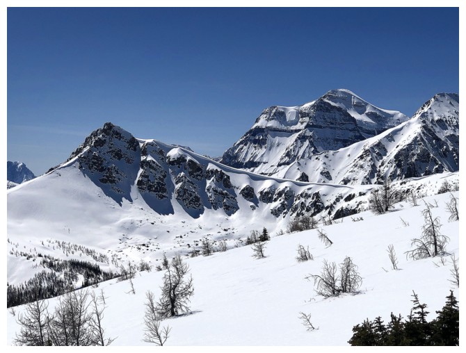
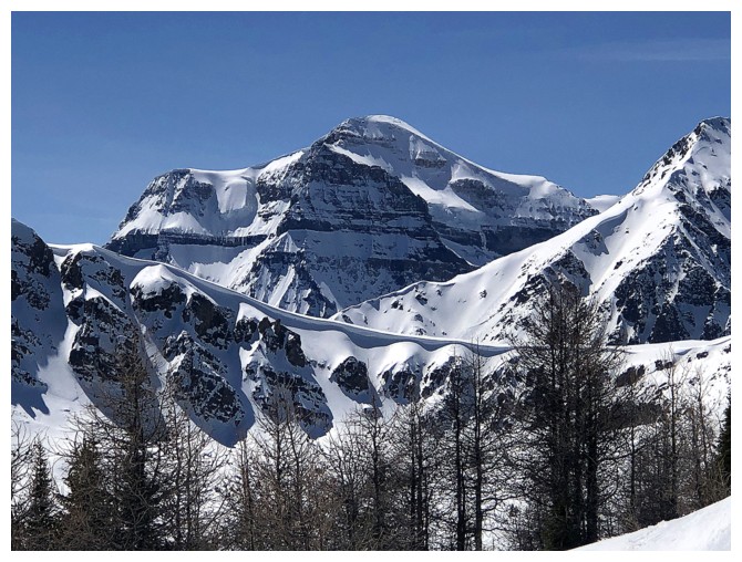
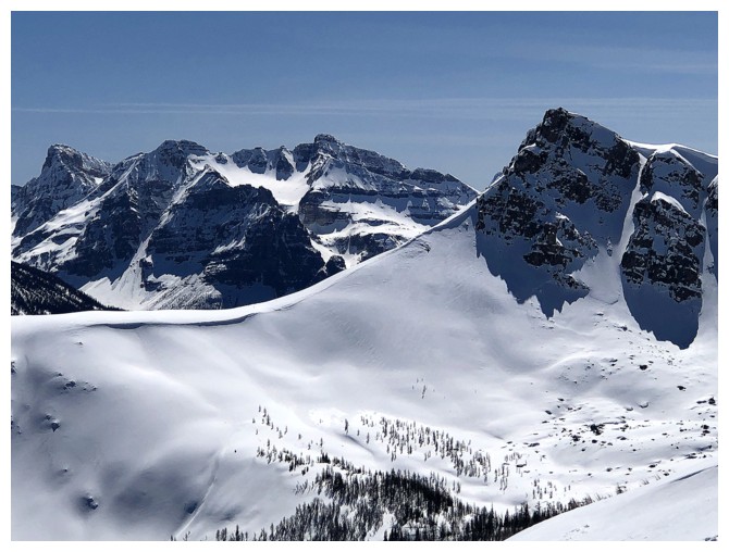
The amazing northeast side of Mount Ball received lots of attention too
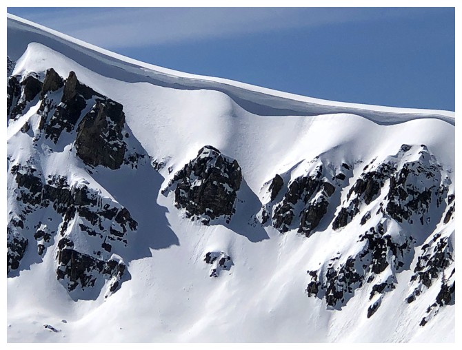
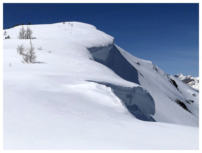
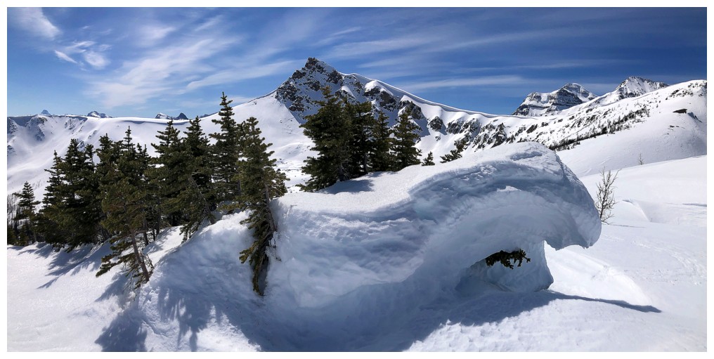
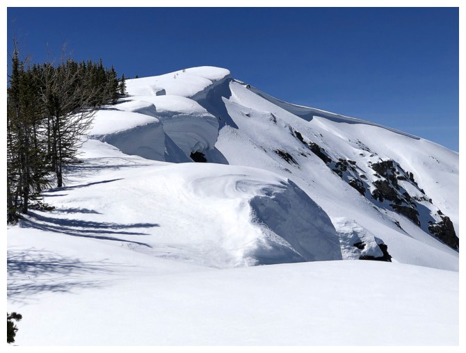
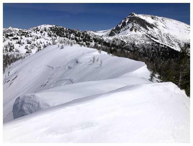
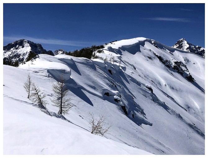
Cool cornice on the outlier

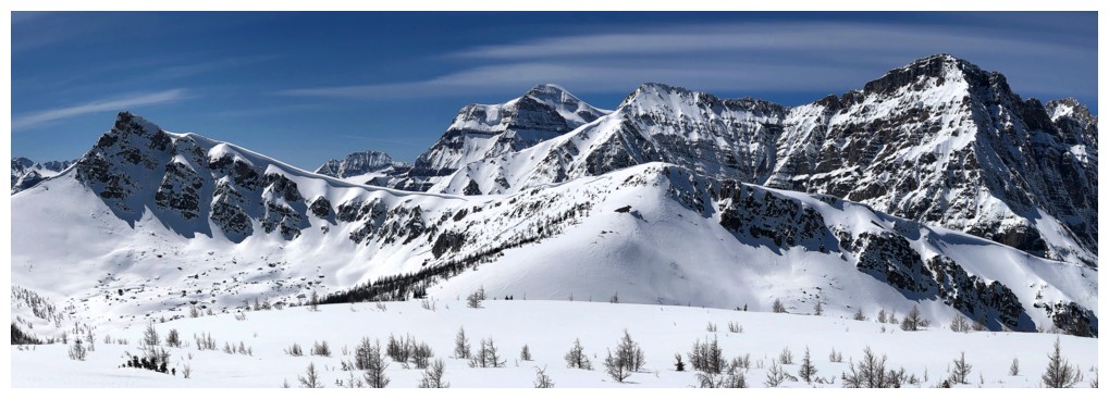
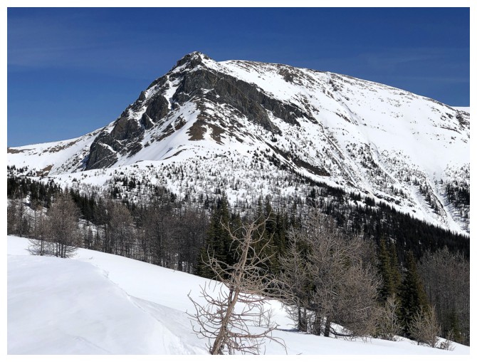
Gibbon West - great trip during larch season
The unnamed and higher summit north of Gibbon West
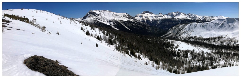
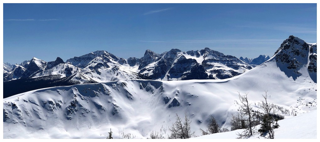
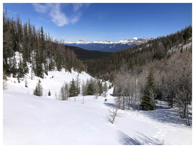
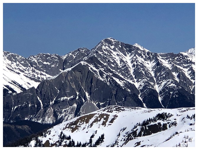
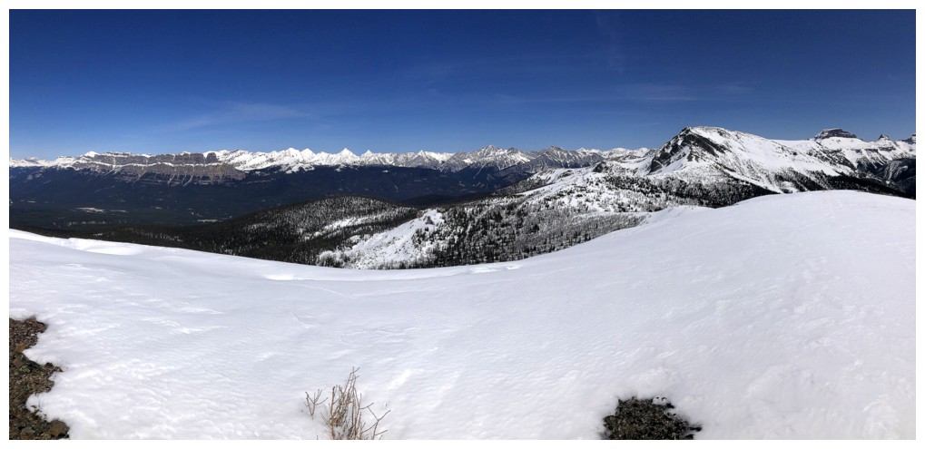
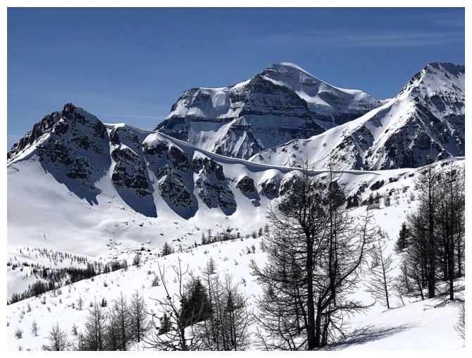
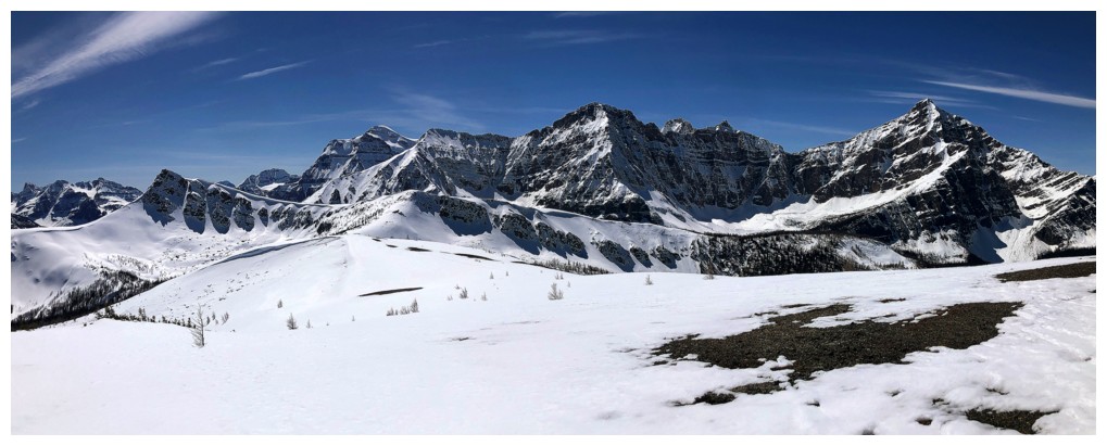
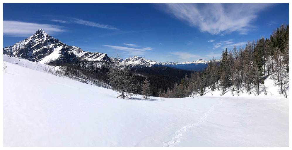
The first view to the east, includes Copper Mountain, Pilot Mountain, and Mount Brett
The view to the west continues to improve
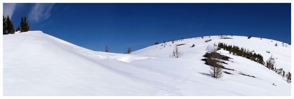
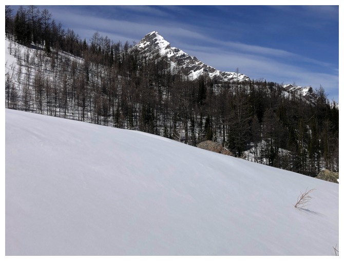
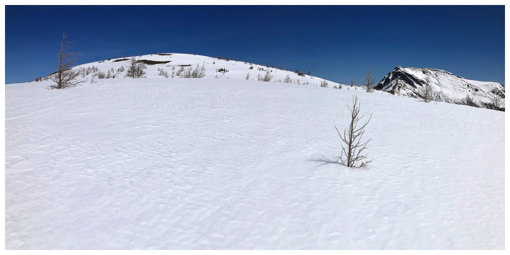
It's an easy slog to the summit from this point, but longer than expected
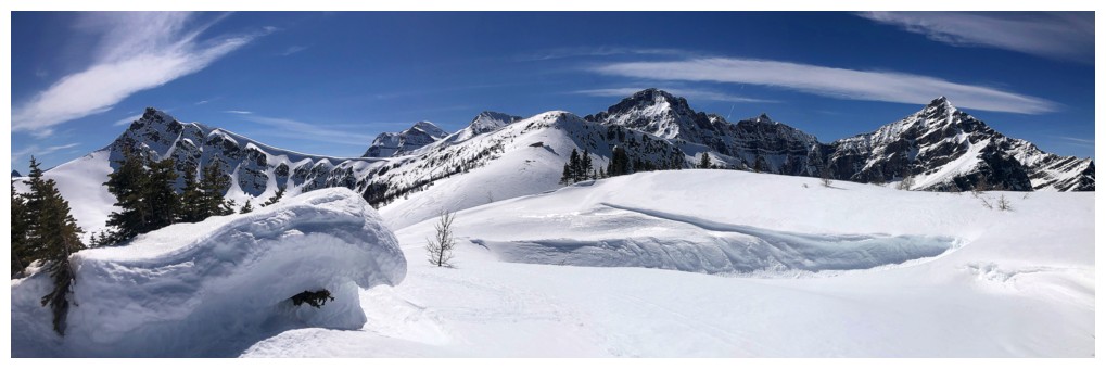
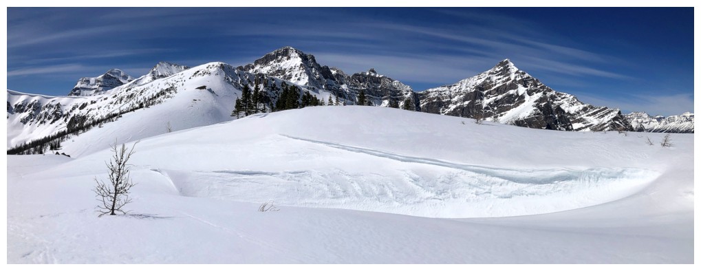
Cool hollow
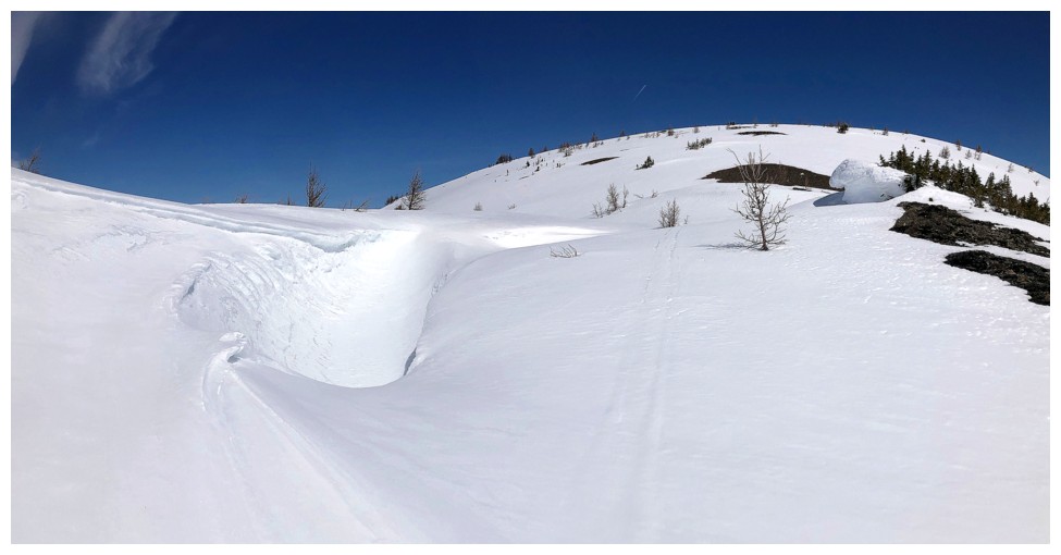
Same as above
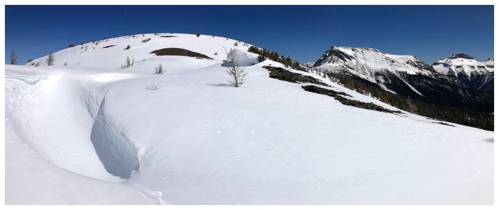
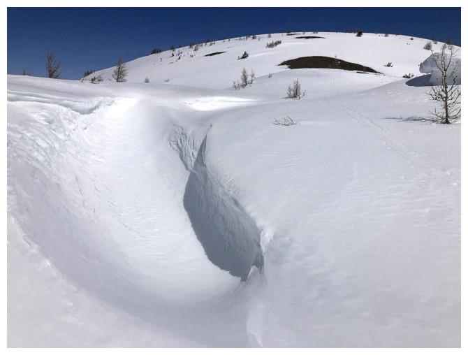
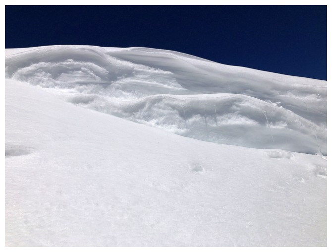
Approaching another interesting snow feature
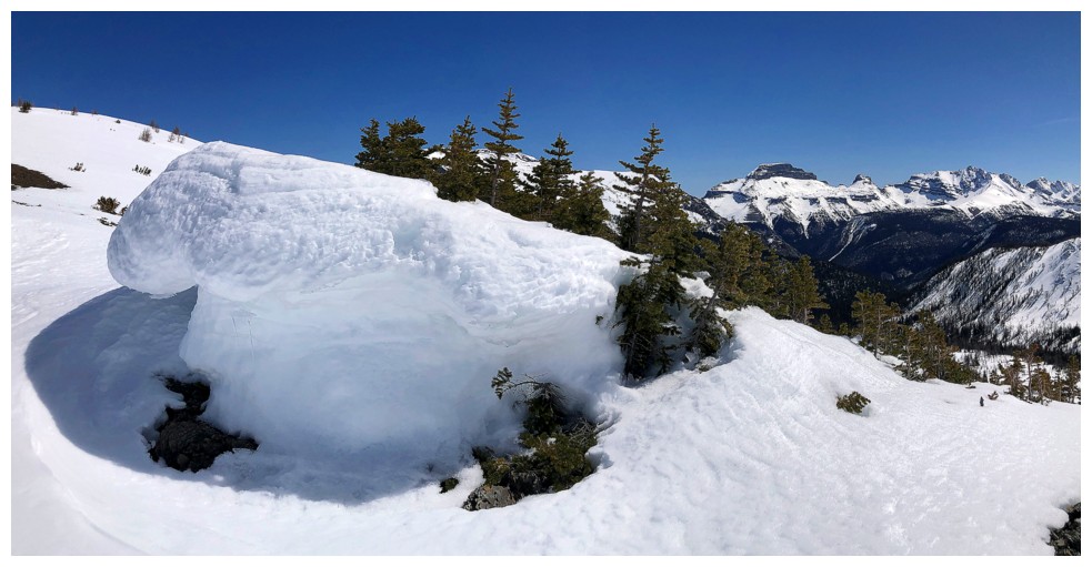
There it is
One behind too
Blah, blah, blah for the next few
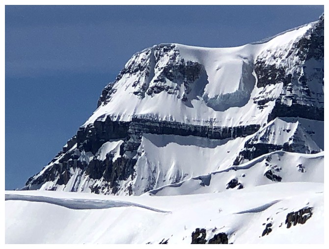
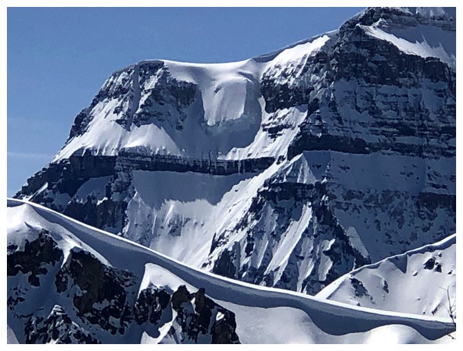
The awesome hanging glacier on Ball
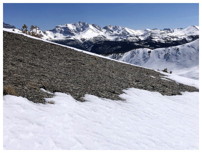
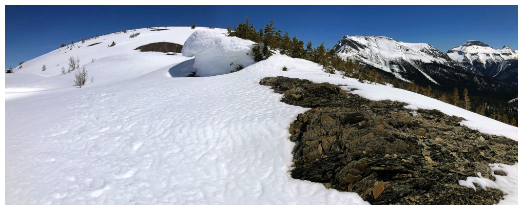
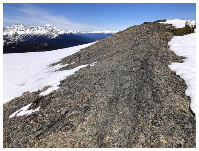
Shale beneath the snow
But it's visible in only a few places
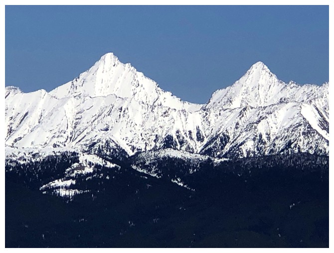
Greater Pharaoh Peak (left) and Lesser Pharaoh Peak. The small bump to the left of Greater is Sugarloaf Mountain - one of the best viewpoints in the Rockies.
Pilot Mountain
Mount Brett (right)
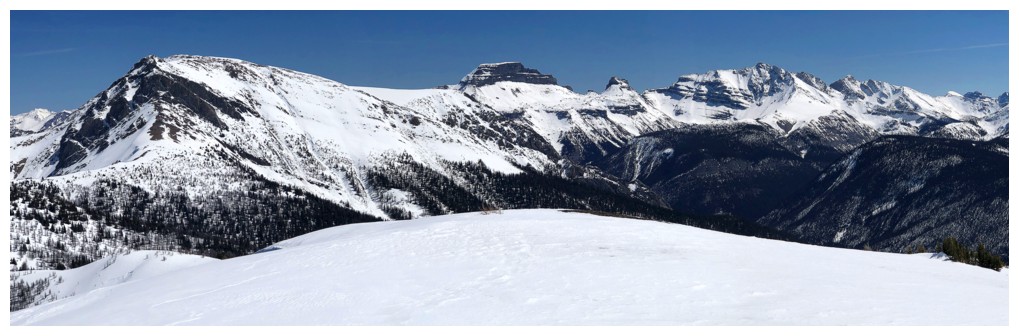
Now getting the full view to the west
Same as above
One more - why not!!
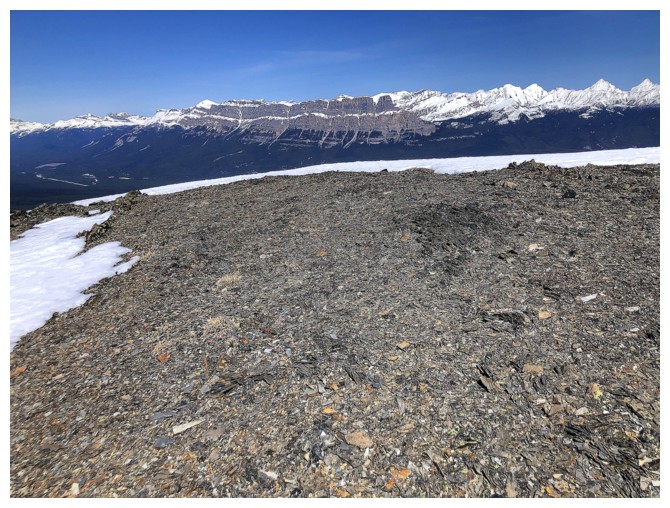
Had to snowshoe atop the shale here, as the snow at the right was part of a big cornice
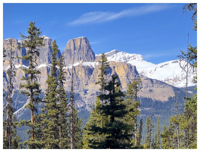
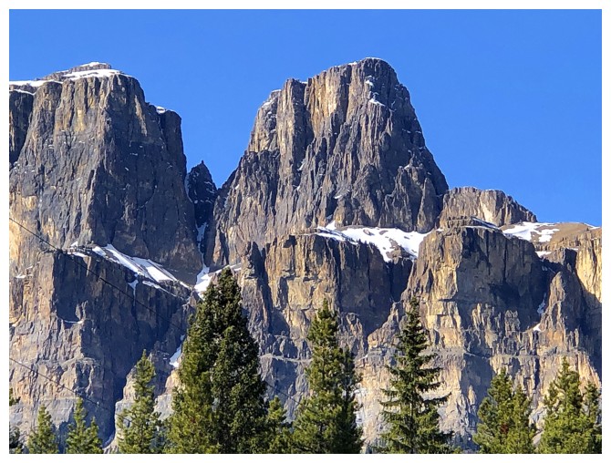
The insane length of the Castle Mountain massif to the northeast
The lines and contours of Ball and Gibbon West were eye-catching throughout
Striking unnamed peaks in the distant northeast
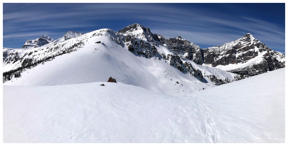
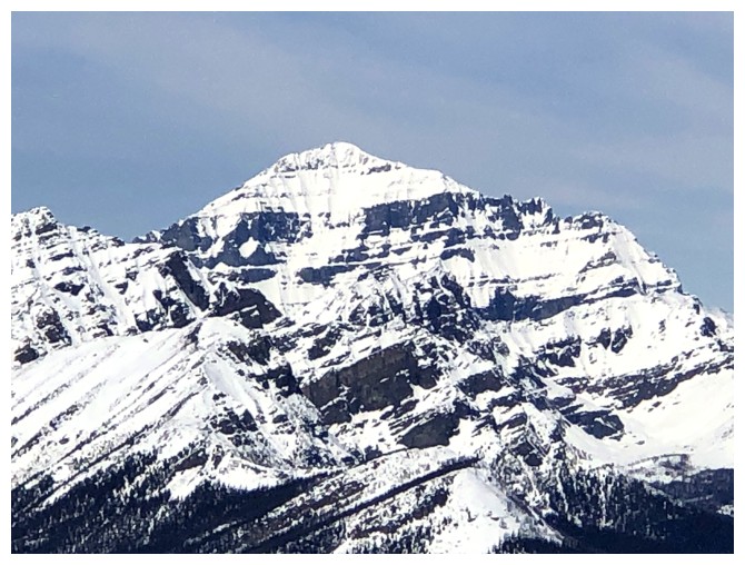
Copper Mountain from the summit

Mount Assiniboine
Close-up of Gibbon Pass Peak
The impressive northeast side of Isabelle Peak
The best view of Ball
Mount Temple
Mount Ishbel
Deltaform Mountain in the centre
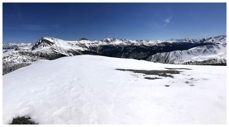
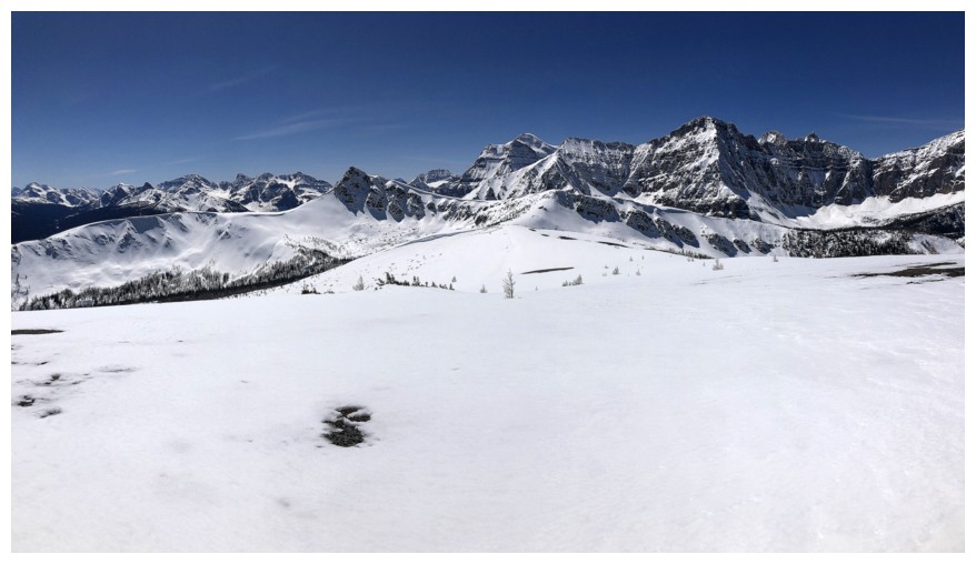
Summit panos
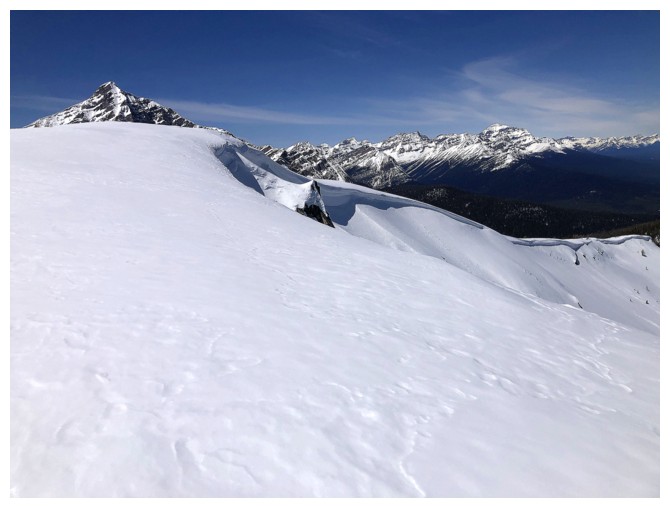
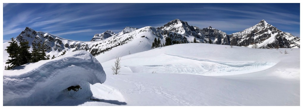
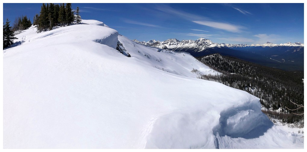
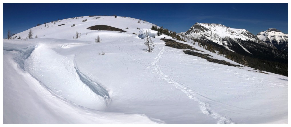
Descending the east ridge of W2 to get a look at the cornice

Part of the cornice and mountains around Moraine Lake
The intention was to descend a small section of the ridge, but I ended up on the bump near the lower left
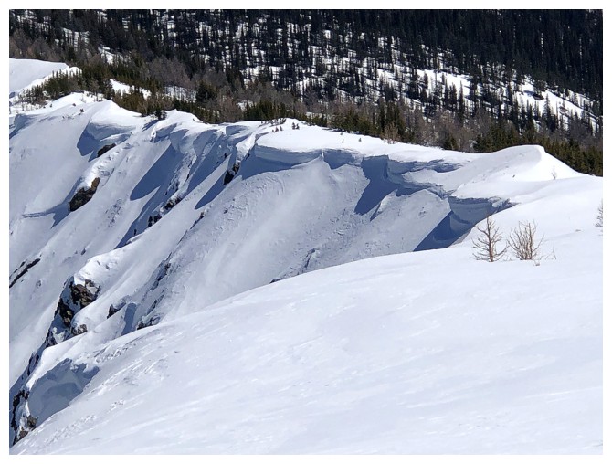
The cornices that kept me moving down the ridge

Good firm snow for snowshoes
Unnamed peaks north of the Egypt Lakes area
Couldn't stop looking at the contours of Gibbon and Ball
Something to stay away from
Still going down
That's why I'm still going down the ridge
Bigger view
The Moraine Lake area mountains again, with Bell Ridge and Mount Bell sitting inconspicuously in front of Mount Temple
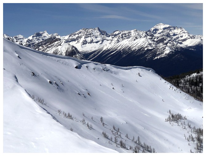
Thought about turning around here, but no
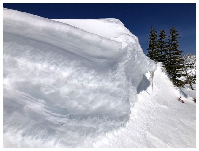
Nice wall of snow
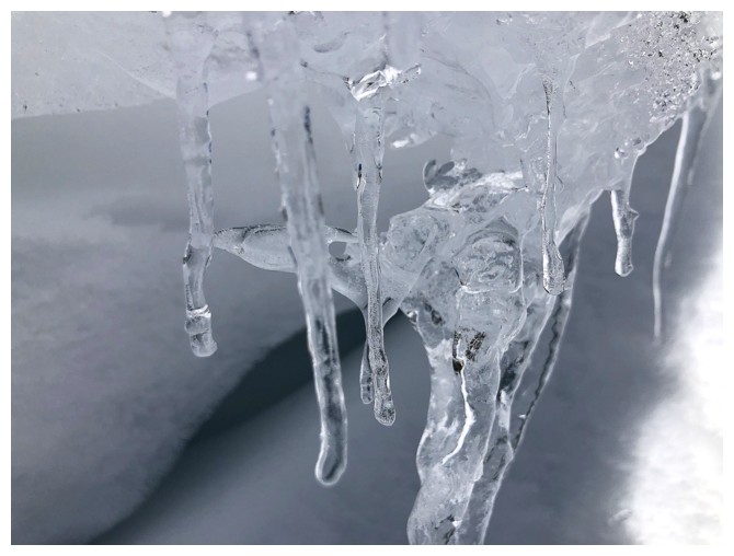
Icicles melting fast
View getting better

Approaching my turn around point
Only a hundred metres away now
Another wall of snow, with the bluest sky of the day above
The furthest I got
Still mesmerized by Ball, the cornices, the shadows, etc.
Heading back up
Copper Mountain looks to be an interesting ascent from the west, but I've never heard of anyone doing it
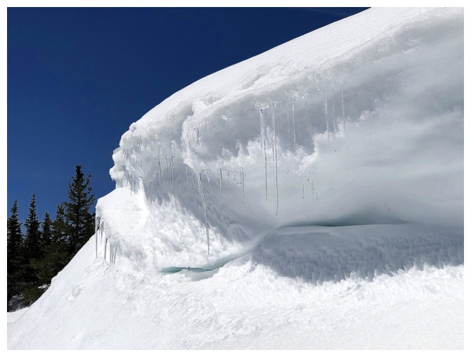
Back at the icicles
Probably set a new record for photographing the same thing again and again and again!
Same as above
Back at the summit
The Bow Valley is incredibly wide at this point
Time to descend and retake all the photos again!
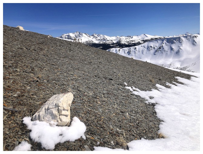
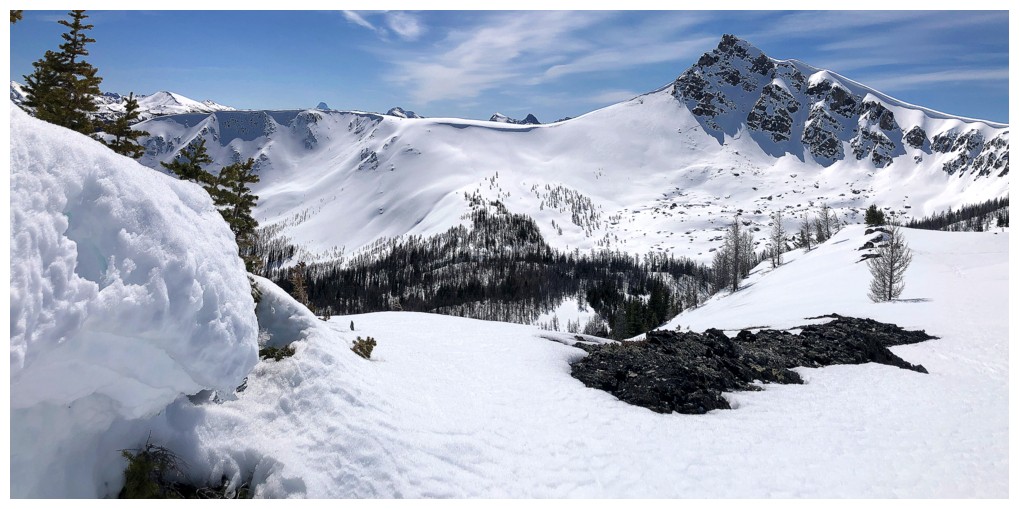
Very random, lonely white rock
This scene looked a little better with the Sun further west
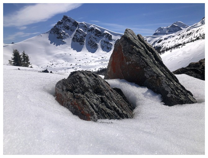
Pleasantly surprised to get a "lichen on rock" photo
Last look at Mount Brett
Back down to the col in no time
This part of the descent was also very easy and scenically rewarding
Sinking a bit more into the snow but still staying afloat and finding it easy
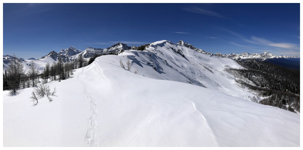
The route ahead
Last look at the outlier
Last look at W2. Travel was soon to become excruciatingly slow and I didn't take any photos for several hours.
Many moons later seeing Eisenhower again
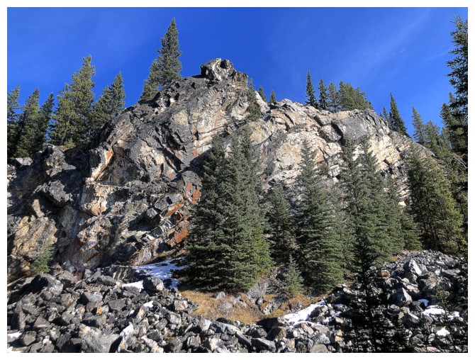
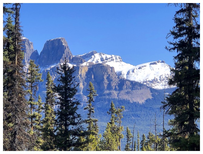
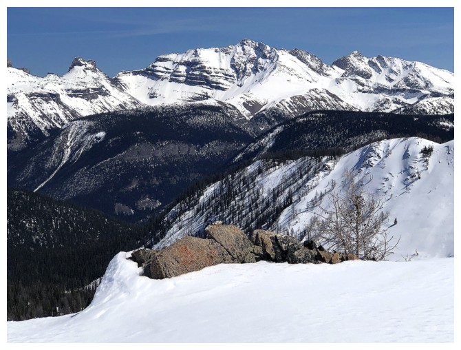
The only other point of interest along the trail is this cool rock band near the beginning
Close-up of Eisenhower
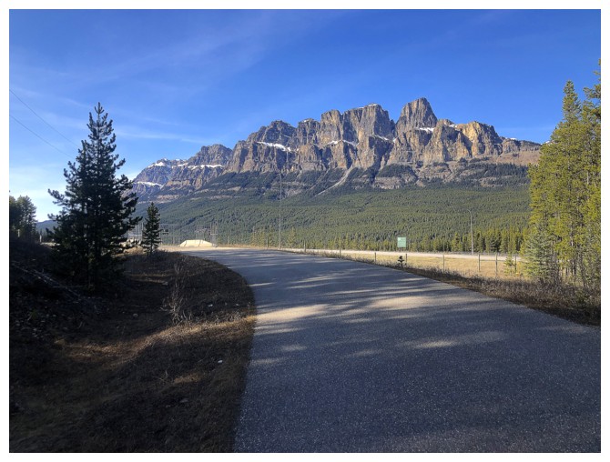
Minutes away from the parking lot and relieved to see Castle Mountain in its entirely
The End
LOG