Storm Mountain
(Banff)
September 7, 2024
Mountain height: 3161 m
Total elevation gain: 1500
m
Ascent time: 5:05
Descent time: 3:00
Round-trip
time: 8:40
Scrambling with
Dan.
I owe Iceface
Peak and GC20 apologies in triplicate. While both were incredibly scenic
throughout, I was quite critical of the traumatizing terrain underfoot for those
ascents. Enter: Banff’s Storm Mountain. 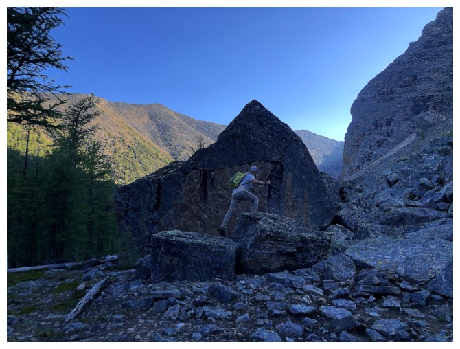 Storm made Iceface and GC20 seem like
10-minute strolls on a paved path, nothing but Sunshine overhead, and the birds
singing in 6-part harmony!
(2:30-2:45, with the small crescendo at 2:38, is one of the most beautiful passages of
music in human history). Once the ascent of Storm begins in earnest, it’s 800
vertical metres of sheer horror – insanely loose rubble and scree on steep
slopes, threatening to slide down the entire mountain. “Unpleasant” terrain for
20-60 minutes is bad enough but 3 hours of it just plain sucks!
Storm had long
been on my “to-do” list, and I was waiting for a perfect weather day to try. 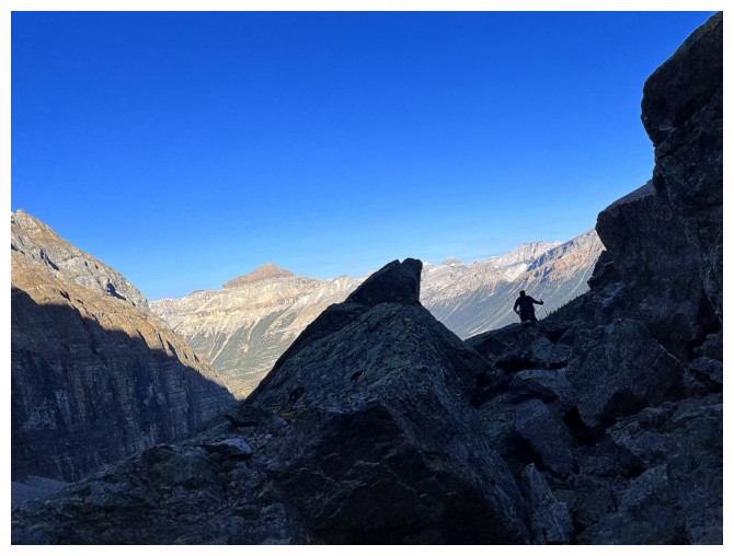 I
was also hesitant to do the trip in late spring as a snow ascent because of
avalanche concerns. September 7, 2024, fit my criteria and I had a willing
partner in Dan to accompany me up this formidable mountain.
Although we
didn’t find THE trail near the beginning of the ascent, we did find snippets of
trails, as Dan led the way, up steep forested slopes. Having heard several
nightmarish tales of endless bushwhacking and log hopping we were quite
relieved to be spared from both. Eventually we intercepted THE trail and travel
became very easy and pleasant.
Entering the
bowl below the summit was also a very pleasant and rewarding experience. We
stuck to the left side of the valley, boulder-hopping all the way to a good
viewpoint just above the first of two large tarns in the adjacent valley. The small
price of this minor detour (initially) was a longer than expected traverse
across a tricky boulder field to get back on route.
We paid a much
bigger price by turning up Storm’s main ascent slope too early. And it was this
decision that led to my earlier scathing review of the ascent. In fact, had we
taken a route further to the right (as we did on descent), I could have downgraded
the words “sheer horror” to “unending torture”!
It seemed to
take forever to reach easier terrain, but we eventually did and then continued
on to the summit. Even that part of the trip dragged on for much longer than
either of us expected or wanted. Just over 5 hours after leaving we stepped
onto the summit for the moment of truth – would the summit view justify the
trauma of the ascent?? 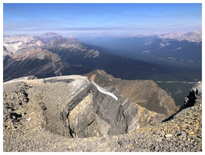 My answer to that question would be a somewhat forced,
“yeah, sorta’, kinda’,….I guess so”. At a significant height of 3161 m Storm
does tower over pretty much everything around it. The problem is that many of
the surrounding mountains are some distance away, so you don’t get any of those
amazing “in your face” views. Both Iceface and GC20, two unofficial mountains of
inferior heights, had far superior panoramas. A surprising amount of forest
fire smoke also conspired to detract from our enjoyment of the view.
Nevertheless, we
did take a long break, and the more I took in the view, the better it became. In
fact, were I to repeat this trip, 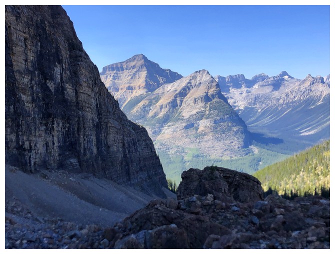 I would do it in late Spring, with snow and
little chance of fire smoke. Seeing the surrounding mountains, snow-covered with
crystal clear blue skies above would undoubtedly be breath-taking.
We very briefly
considered taking an alternate route down through the valley to the south, but
eventually decided it would to better to deal with “the devil we knew”. This turned
out well, as we were able to find and follow a slightly more palatable route
down the mountain, generally following a worn path in the scree – on ascent we
had completely missed this path. While this did take some of the sting out of
the return, there is no getting down Storm Mountain in an expedient manner,
unless the slopes are snow-covered. Once back below treeline we were also able
to follow THE trail out to the highway, eliminating almost all of the bushwhacking.
The jury will
be out for a while on this trip. The route did have several redeeming features,
and the summit view was excellent. Also, if our day had not been preceded by
four totally awesome trips (Iceface, GC20, Seward, and Michel Head), each
featuring amazing and varied scenery throughout, I may have been less critical of
the one-dimensional experience on Storm.
Last of all, big
thanks to Dan for joining me on this trip. He was positive throughout, didn’t
whine at all (like the old dude he was with), and of course handled the nasty
terrain as if it was nothing. Sorry I couldn’t deliver another Mount Niles to you, Dan!
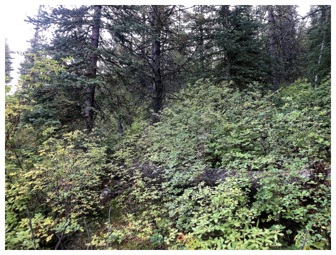
Some of the initial bushwhacking
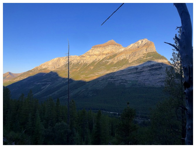
The only view you get for the first few hours, but it's a good one of Mount Whymper
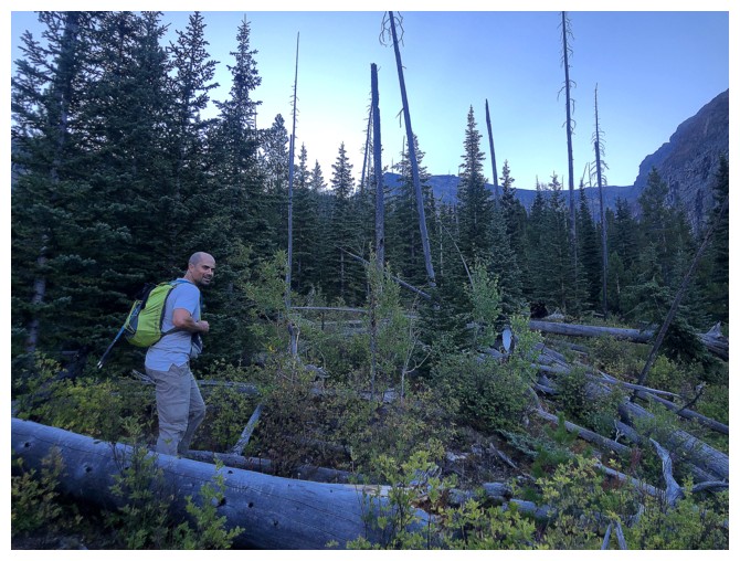
A little log hopping, but nothing too difficult
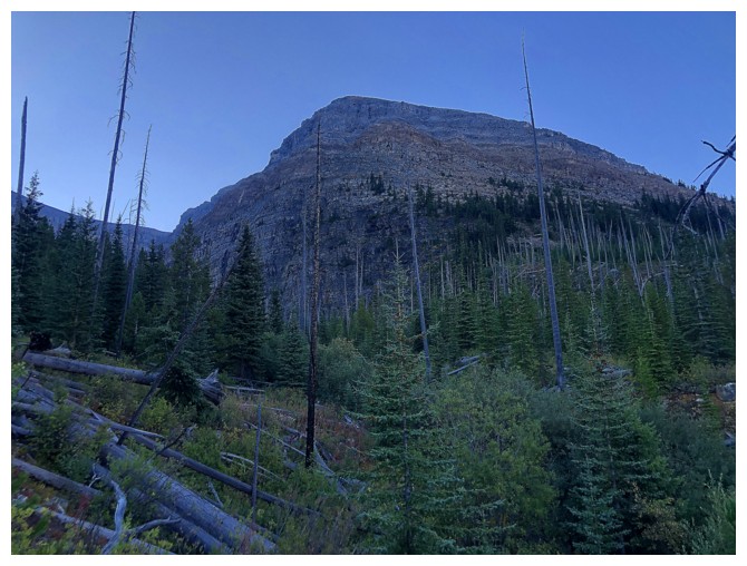
The end of Storm's west ridge
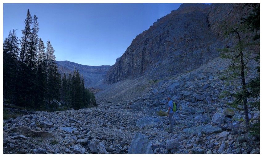
Out of the bush and onto the rock
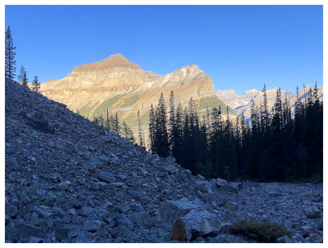
Whymper again
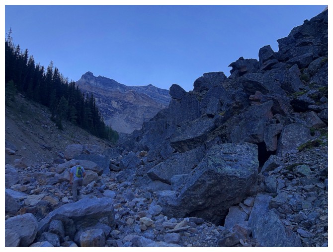
Boulder hopping up the drainage
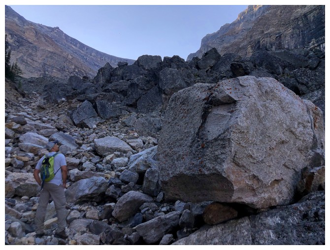
There are many huge boulders to gawk at
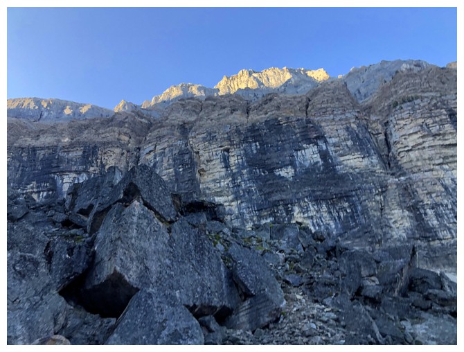
And lots of black water streaks
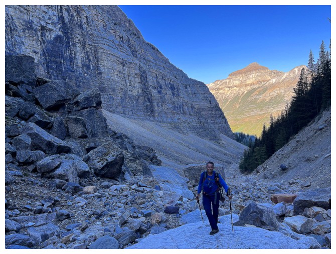
Smiling here - that's because the sheer horror has not yet begun! (photo by Dan)
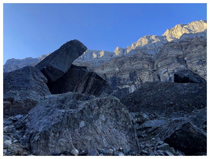
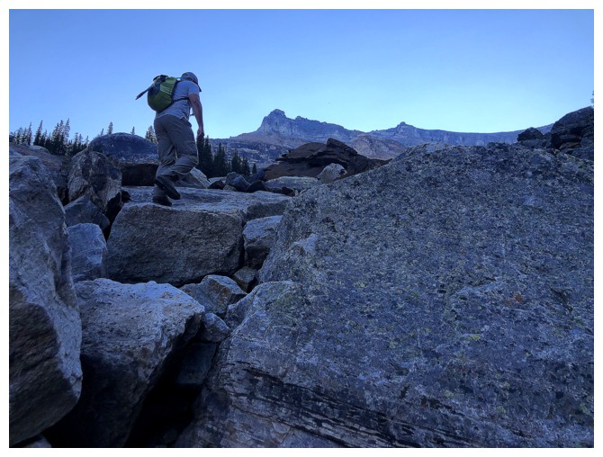
Still enjoying the boulder hopping
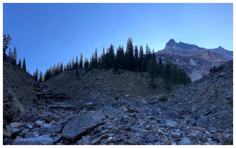
Eventually we will need to go hard right
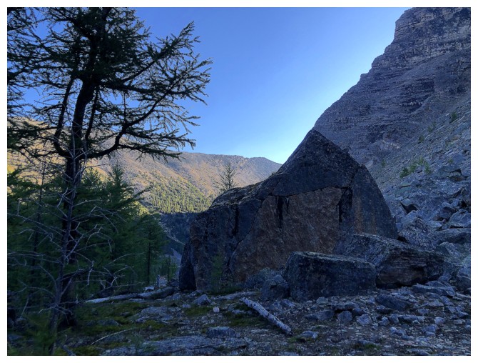
Approaching a house-sized boulder that's too perfectly lined up with the ridge behind
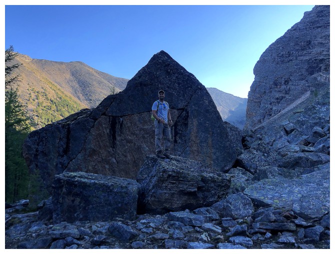
Dan atop the small boulder in front of the house-sized one
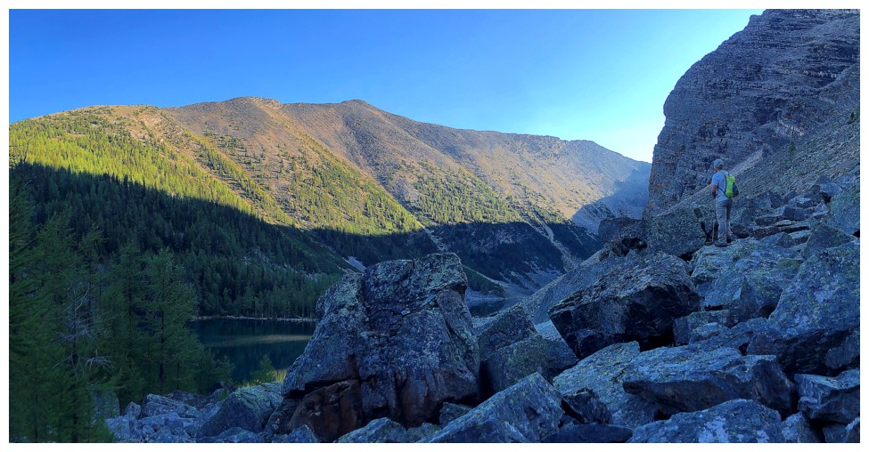
Dan checks out the partial view we got of the tarns below Vista Peak (just left of centre)
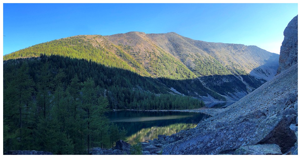
The tarns are surrounded by larches and would be a great destination during larch season
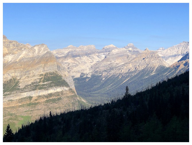
Peaks up the Chickadee Valley, including Chimney Peak

Dan starts the longish boulder traverse to the ascent line
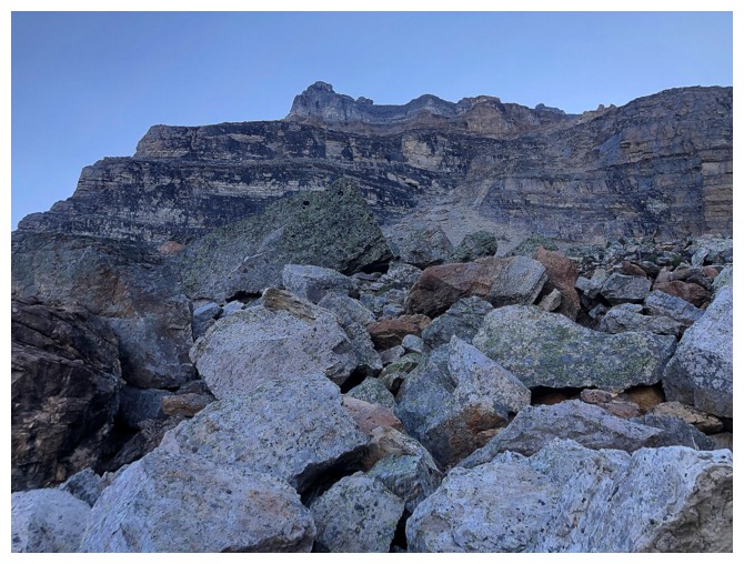
Typical terrain on the traverse - had to be careful here, as there were many deep holes
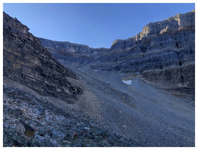
Approaching the sheer horror
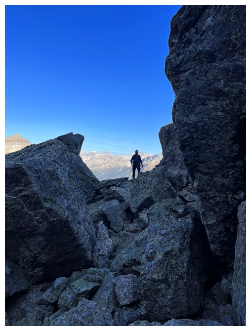
I'm still lost in the boulders (photo by Dan)
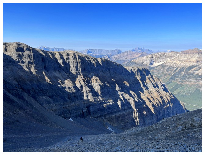
The west ridge of Storm and a whiny guy lagging behind (photo by Dan)
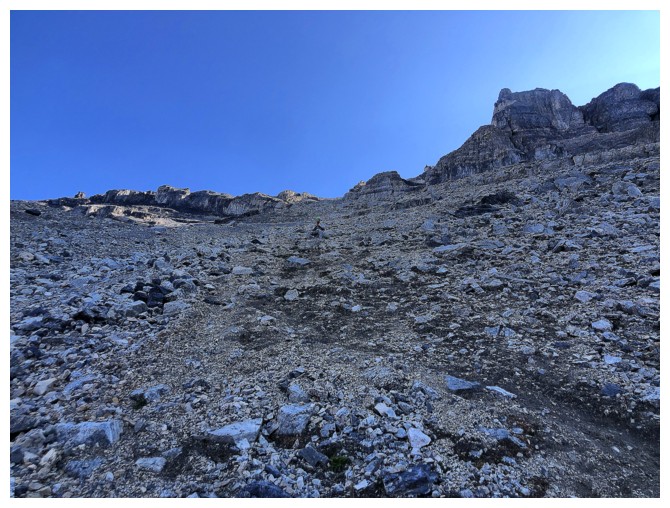
Dan blends into the horror
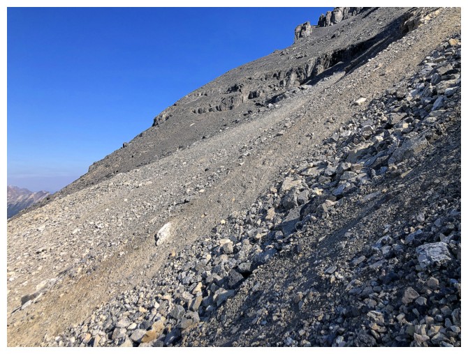
Typical grade of the main ascent slopes (and it's all severely loose!)

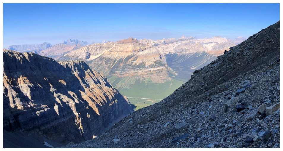
At least the views are improving
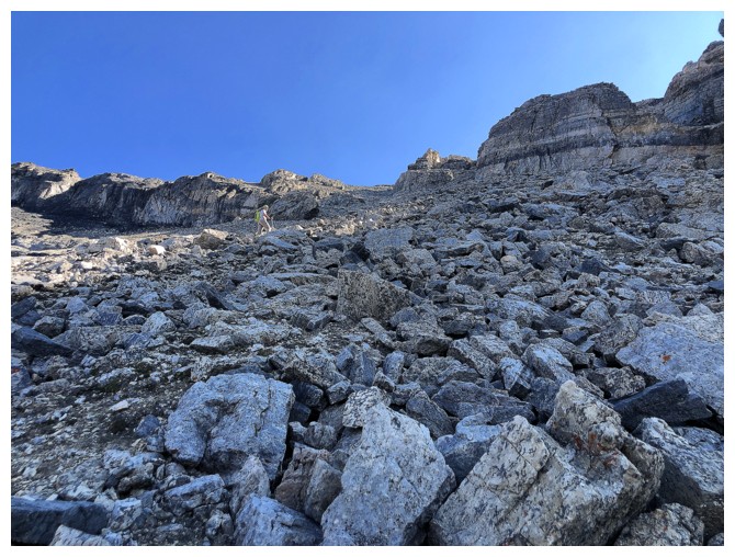
More rubble horror
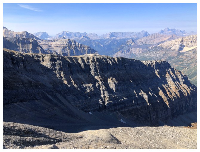
Peaks of the Kootenay area start to appear
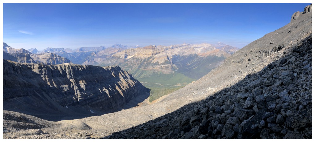
Great view, but there's clearly a layer of haze above the mountains
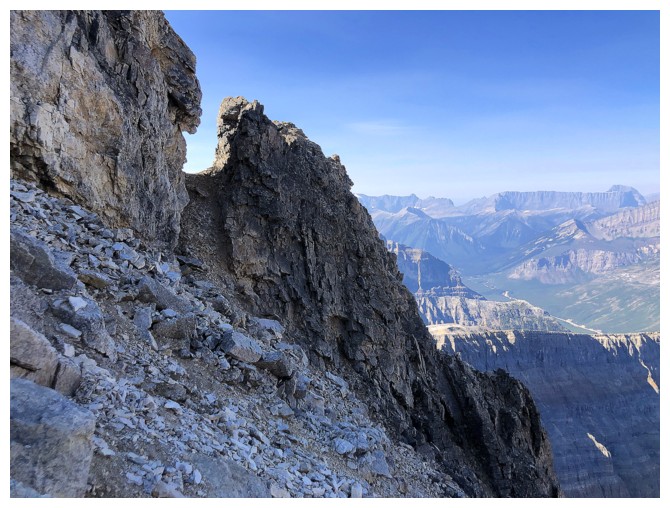
The mountain does have tons of super cool rock
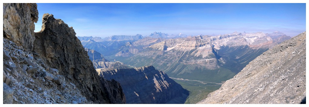
The rock and the view
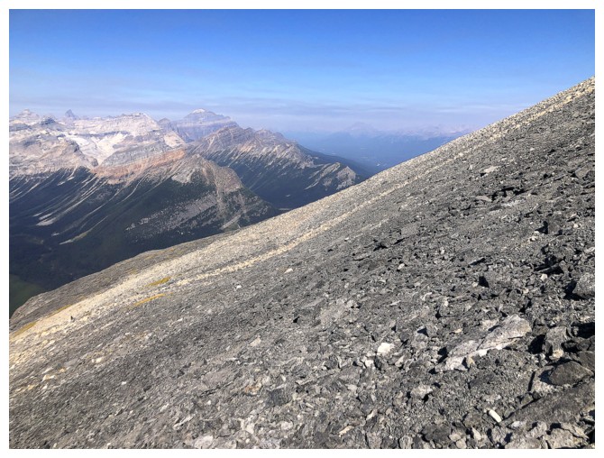
Off the horror and onto more forgiving terrain
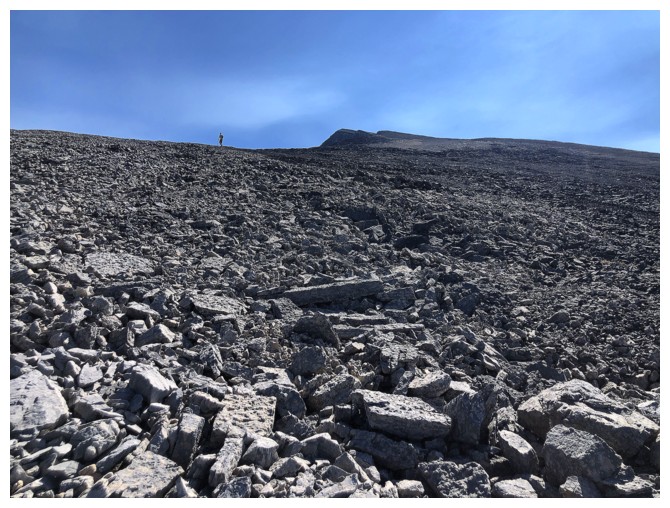
Dan set a good pace. Unfortunately, I couldn't keep up because I felt
as though I had just been forced to watch The Exorcist (viewer discretion) ten times in a
row, alone in the dungeon of an abandoned castle in Transylvania, with
my eyes taped open, and an IV of adrenaline.
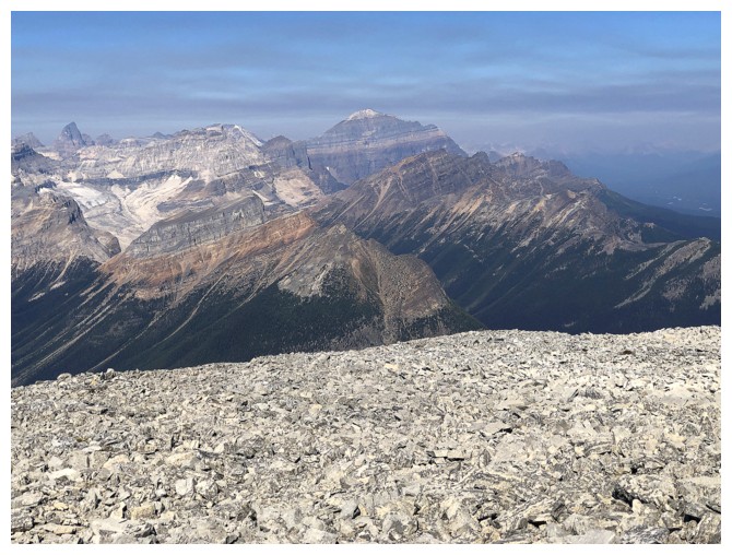
A decent view of Mount Temple to take my mind off heads spinning 360 degrees and projectile vomiting
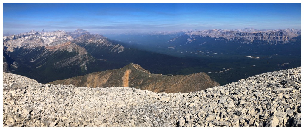
View to the north
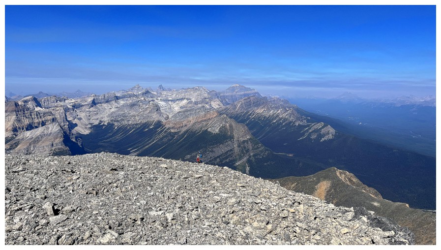
Whiny guy on the horizon (photo by Dan)
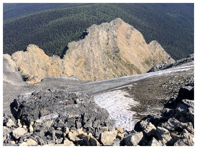
The east ridge of Storm is reported to be an excellent 5.6 route
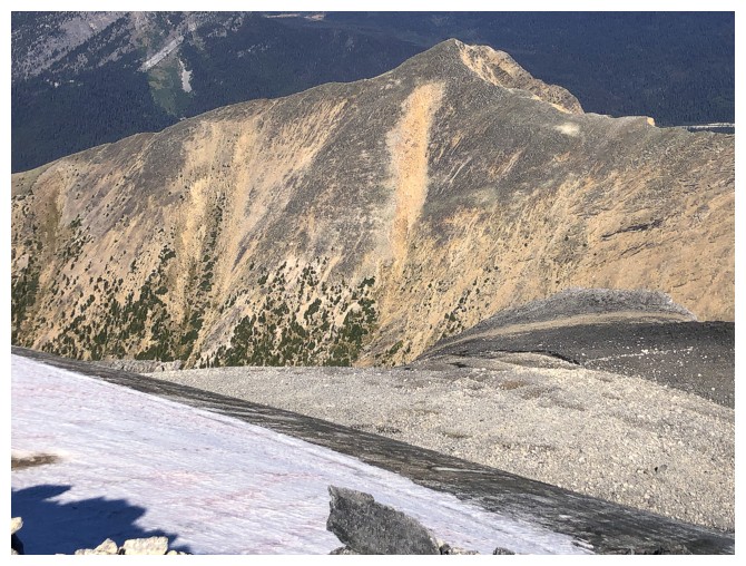
Vista Peak is definitely a trip I would repeat
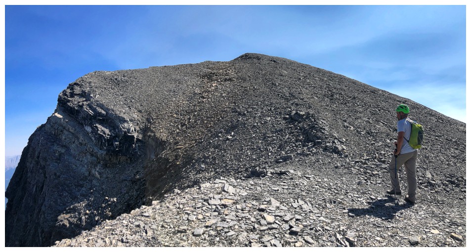
The summit is in sight
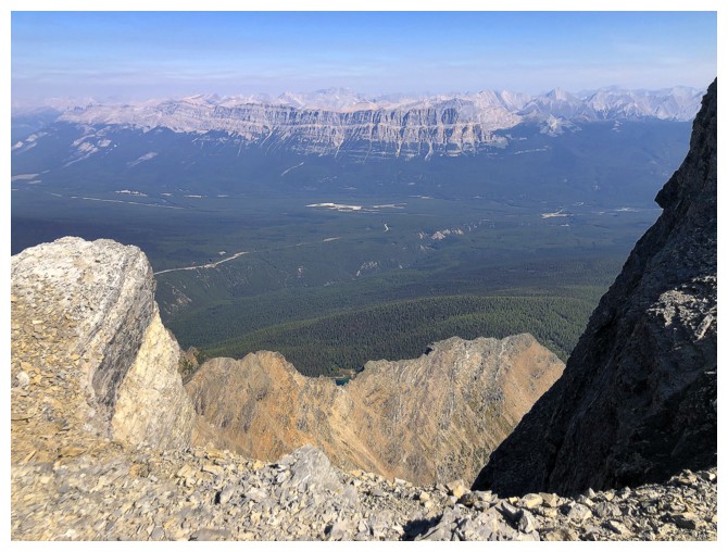
The impressive length of Castle Mountain in the background. Dan and I had two super memorable days on its east end, Eisenhower Peak.
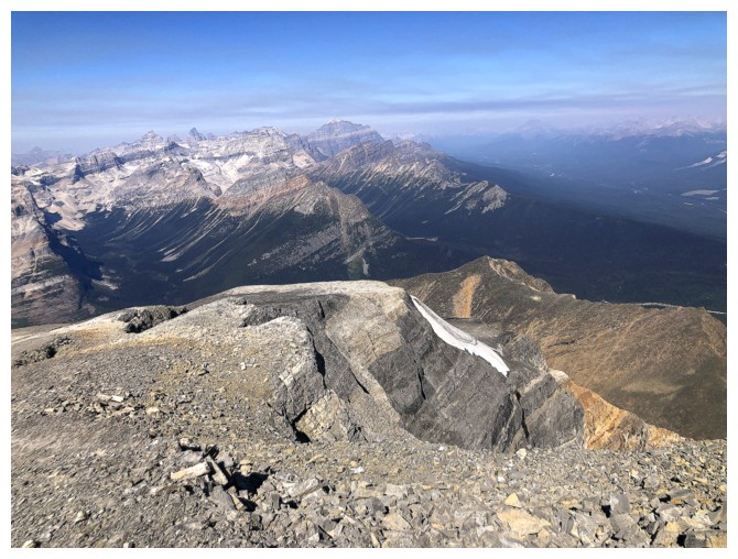
Storm's northwest side is quite fascinating
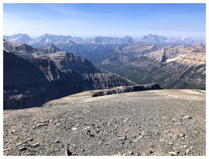
The west ridge is less fascinating but the mountains in the background are cool
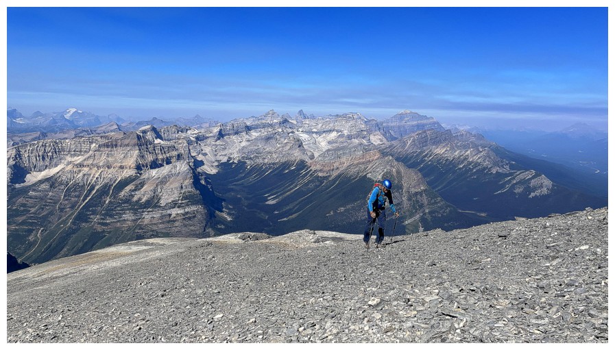
Looks like someone has finally recovered from the horror (photo by Dan)
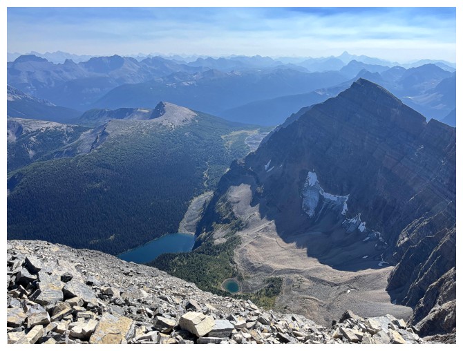
Some of the Lower Twin Lake and a tarn are visible from the summit (photo by Dan)

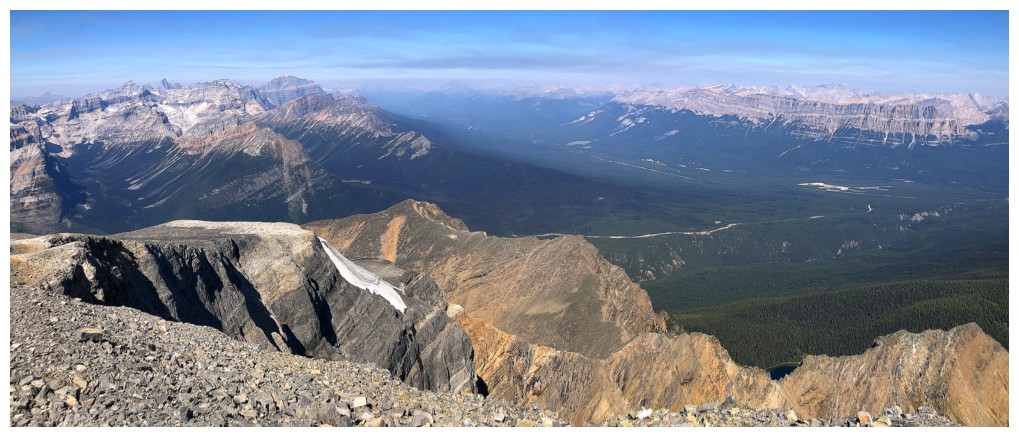
Summit pano (photo by Dan)
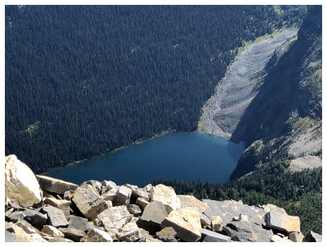
Close-up of Lower Twin Lake
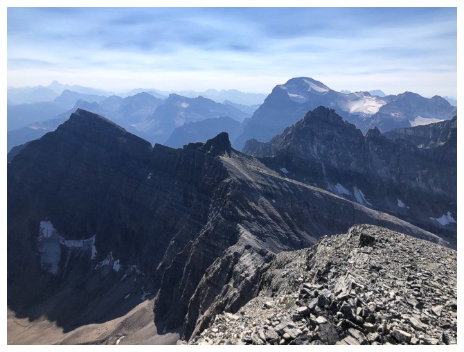
More unnamed peaks to the south. Routes up several of them are described in David Jones' book.
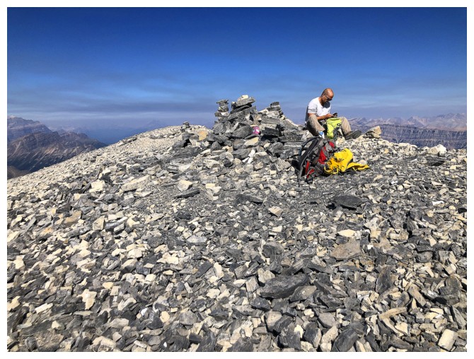
Dan lets his family know he's safe at the top
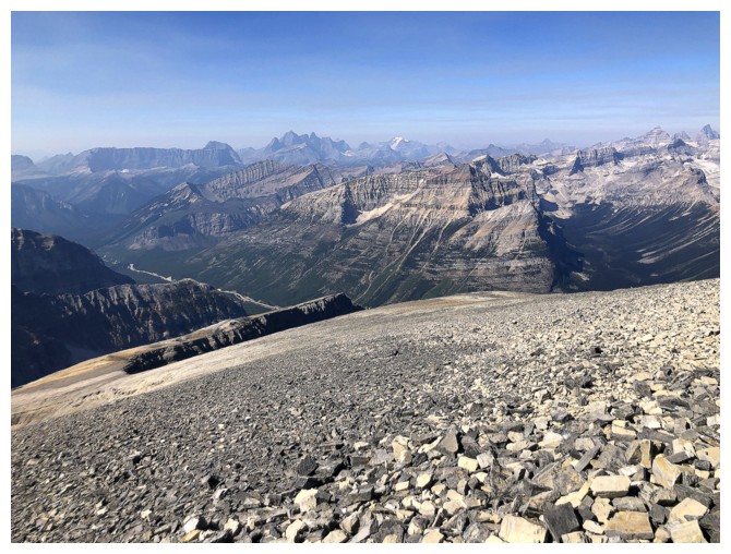
The Goodsirs just left of centre
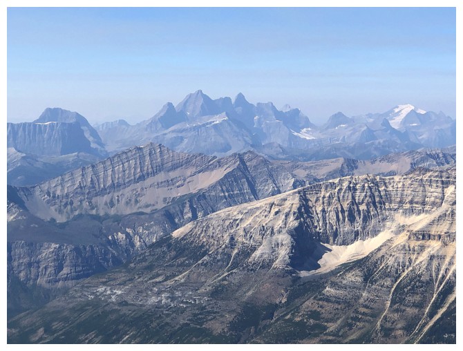
A closer look at the beautiful peaks
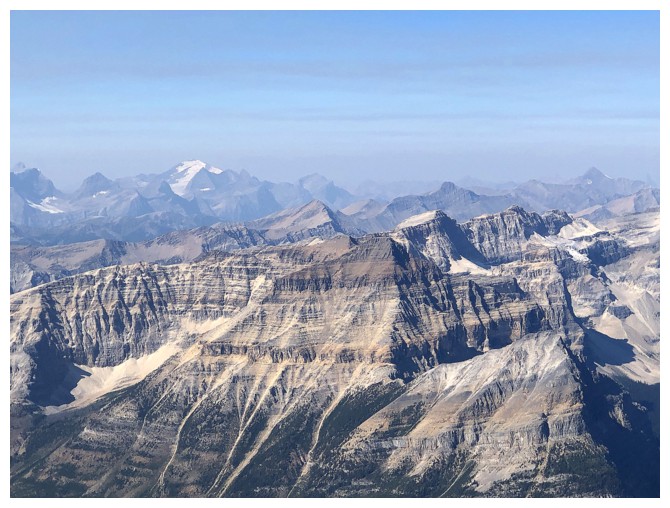
Lots of impressive peaks to the northwest
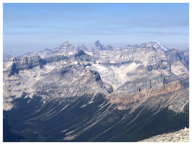
Further northwest, Deltaform, Hungabee, and many of the mountains of The Valley Of The Ten Peaks are visible
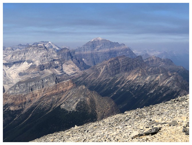
Temple
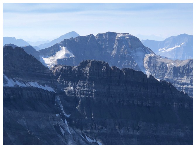
Stanley Peak. The famous snow/ice Kahl route up the mountain (right side) is looking very unhealthy
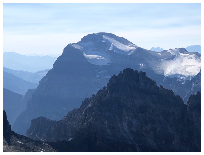
Mount Ball
Summit panos
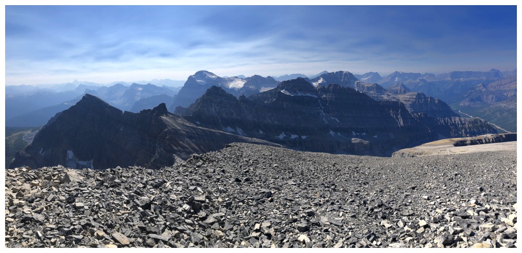
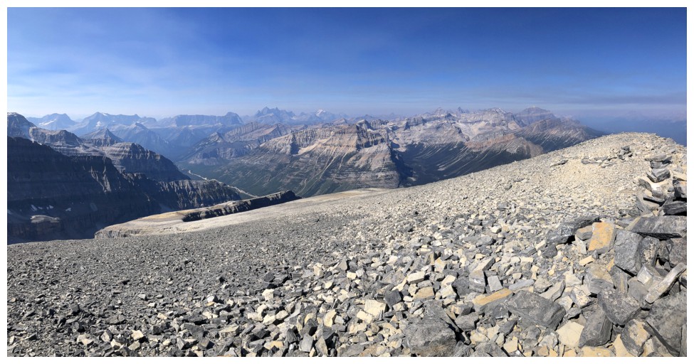
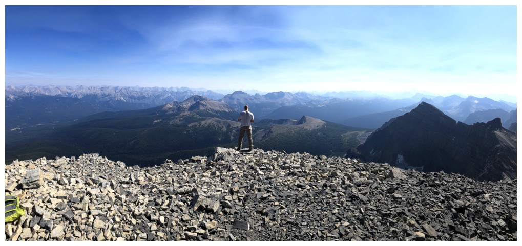
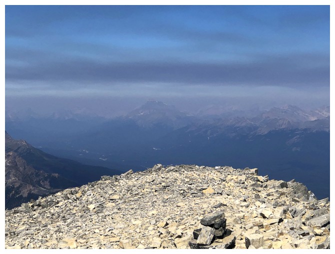
The haze and clouds obscure Mount Hector
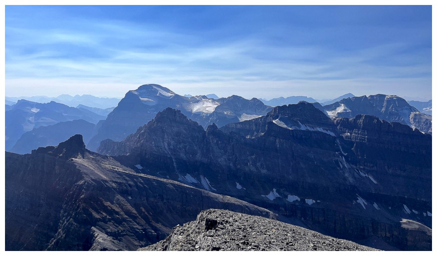
Mount Ball at the left and several unofficial outliers of Storm in the foreground (photo by Dan)
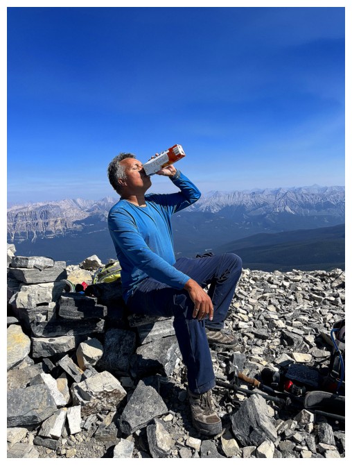
One
of my new summer rituals for hot days: buy a litre of orange juice, freeze it
overnight, stick it in your backpack in the morning, and its guaranteed
to be thawed and icy cold when you reach the summit! (photo by Dan)
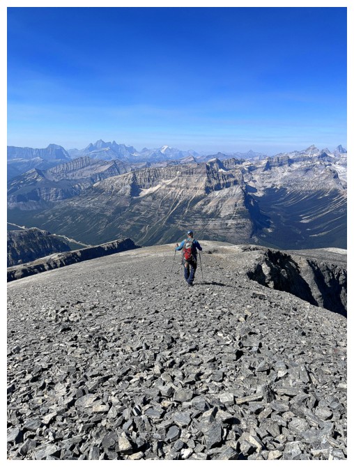
Heading down (photo by Dan)
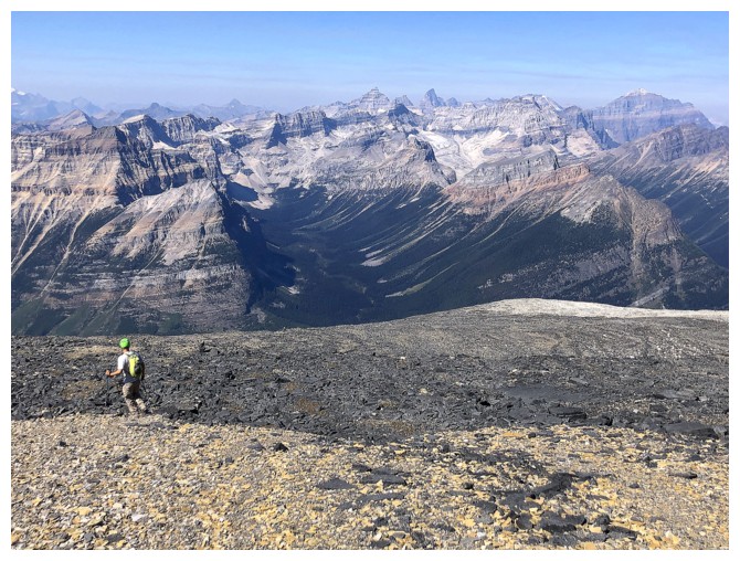
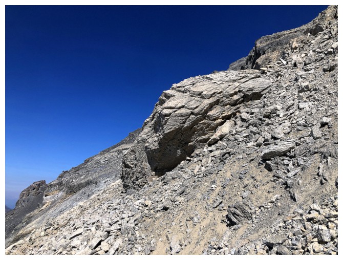
The steep descent route and the bluest sky we got all day
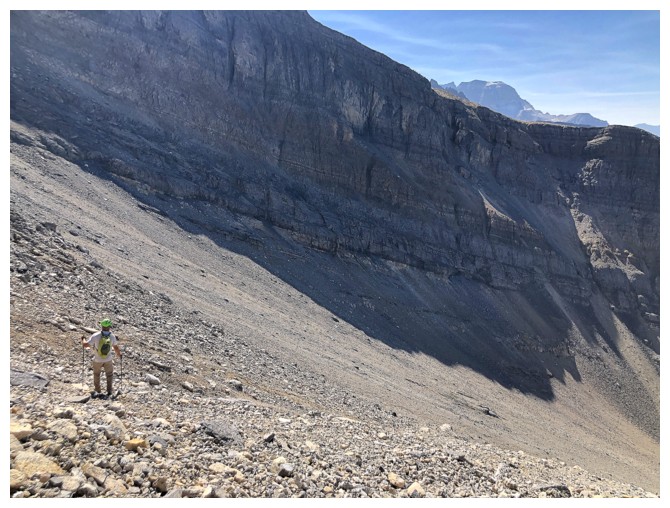
Not easy to see but Dan is on a trail in the scree here
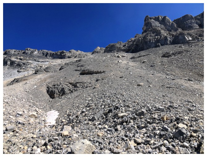
Looking back up. We ascended on the left side and descended on the right.
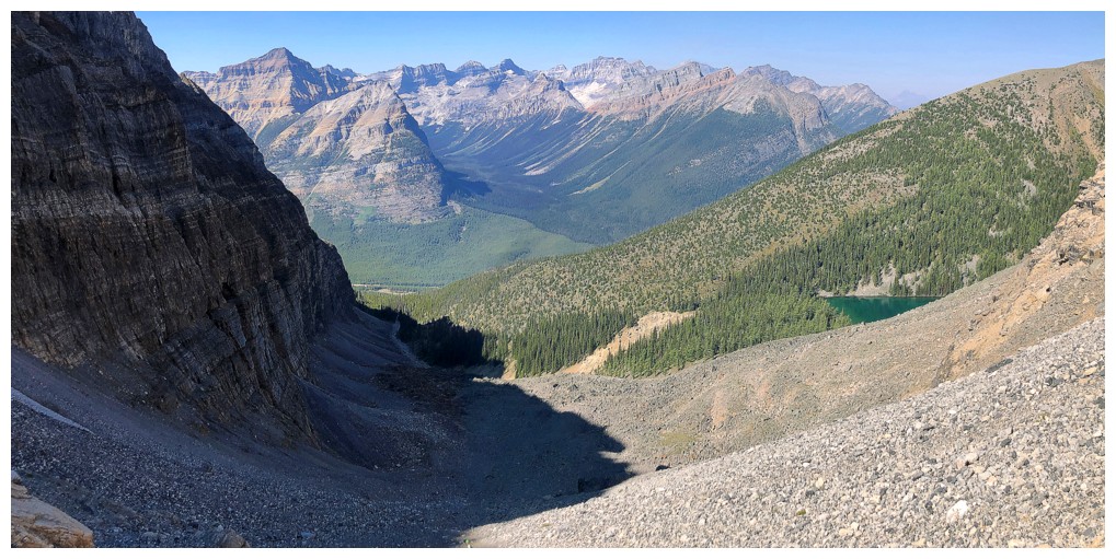
Looking a little less hazy to the north
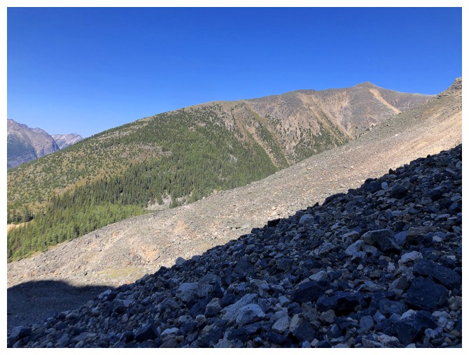
Vista again
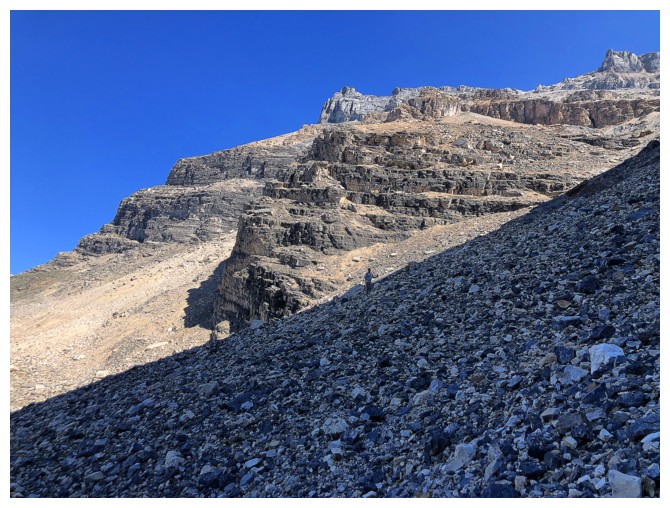
Dan on the rubble
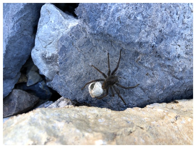
Apparently there are creatures that DO like the horror!
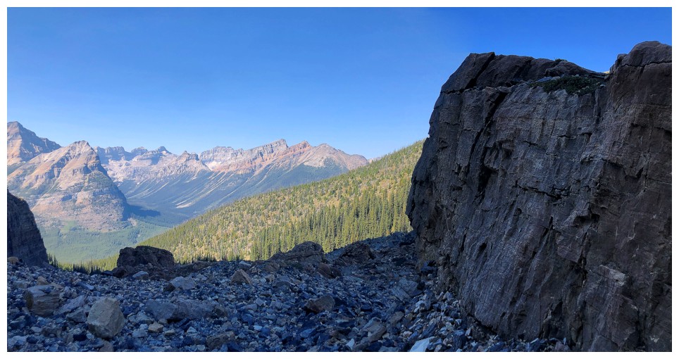
Big rock on a big mountain
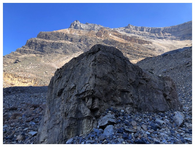
Going past it
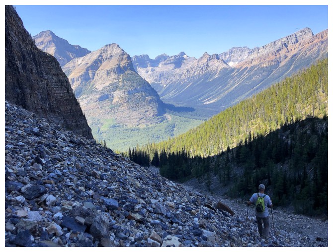
An eastern outlier of Whymper near the left
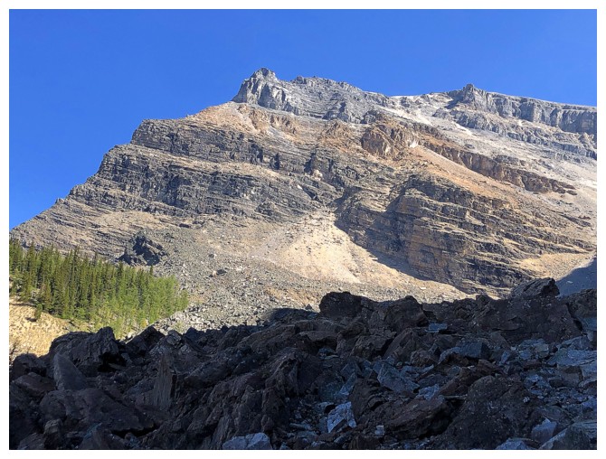
The colours of Storm look far better later in the day

Back to that flat stretch before entering the forest
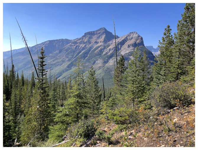
Whymper and its outlier
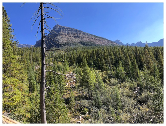
Different view of Vista
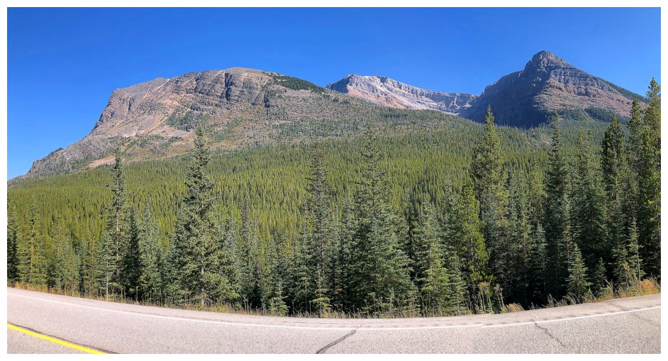
Vista, Storm, and the west end of Storm (and so happy to be done with this mountain!)
The End
LOG
 I
was also hesitant to do the trip in late spring as a snow ascent because of
avalanche concerns. September 7, 2024, fit my criteria and I had a willing
partner in Dan to accompany me up this formidable mountain.


