Dundy Junior III
October 15, 2023
Mountain height: 2140 m
Elevation gain:
650 m
Ascent time: 2:30
Descent time: 1:00
Solo scramble.
Add this trip
to the growing list of minor outliers (in this case of another outlier - Dundy
Peak - that are provide perfect short, scenic days. You can get up and down
this minor highpoint in less than 3 hours, enjoying terrific views throughout.
Also, there are lots of options for alternate descent routes.
While this specific
trip did not visually compare to an amazingly scenic and snowy ascent in May of 2022, it did feature a rainbow that earned a ton of photo
attention. Otherwise, cloudy skies prevailed and so I simply plodded up to the
top and then took a slightly different route down.
More ascents of
this little gem are quite likely.
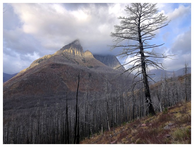
Anderson Peak gets tons of attention throughout
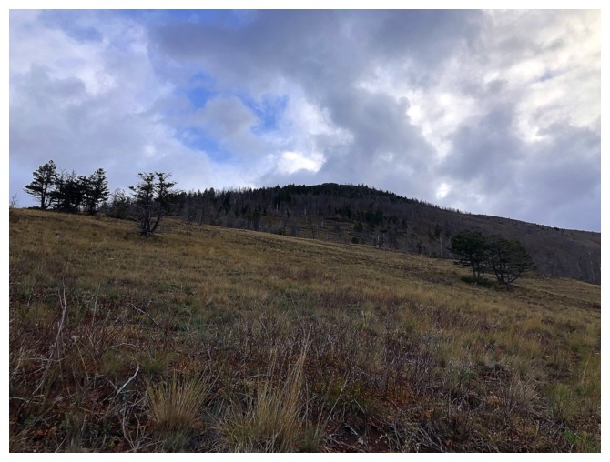
The ascent slopes, looking as straightforward as they are
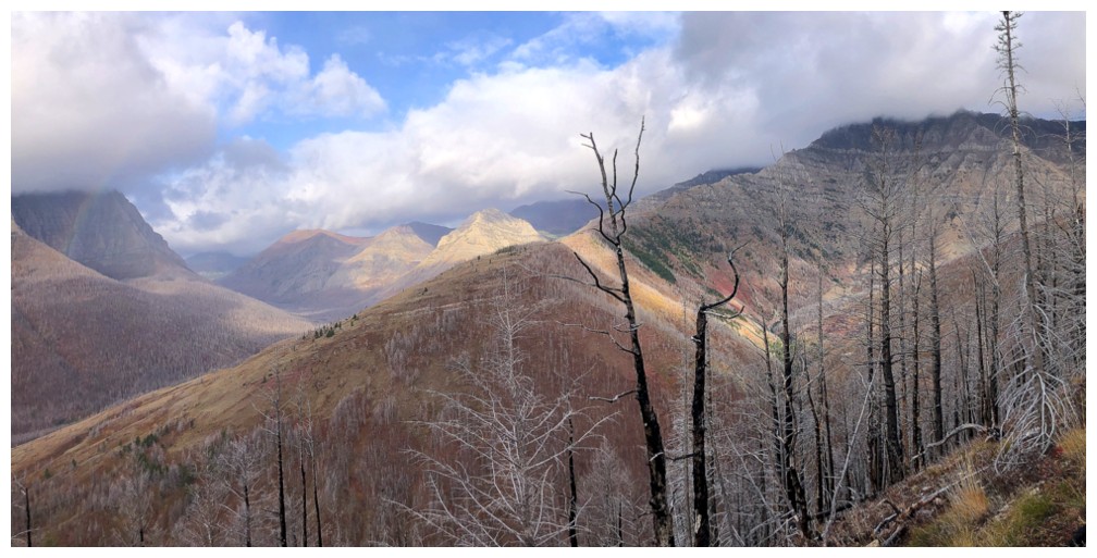
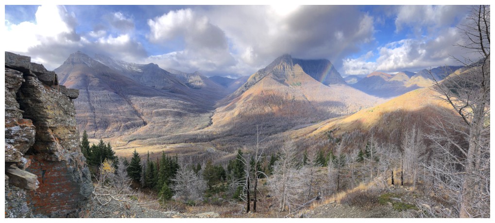
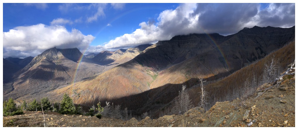
Clouds over Cloudy Ridge, at the right. Avion Ridge and an outlier of Avion I failed to reach just left of centre.
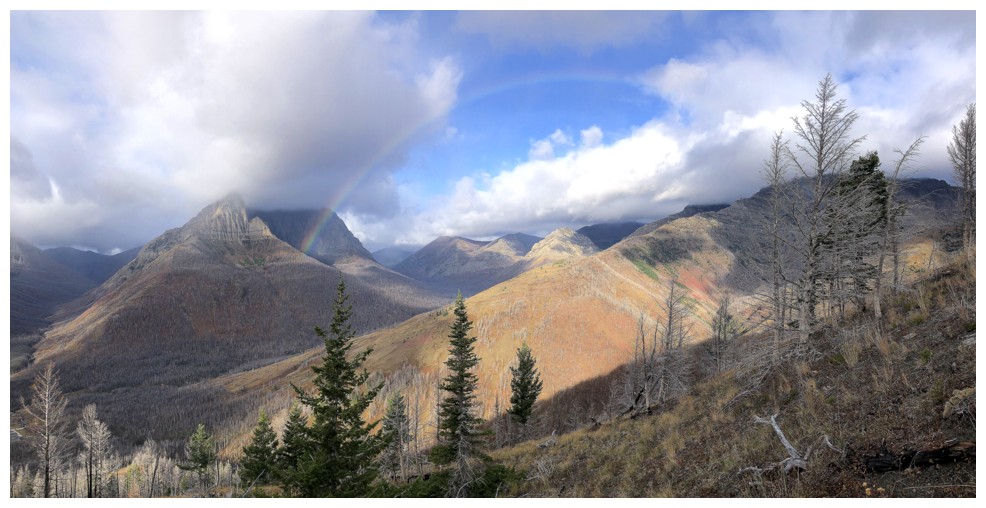
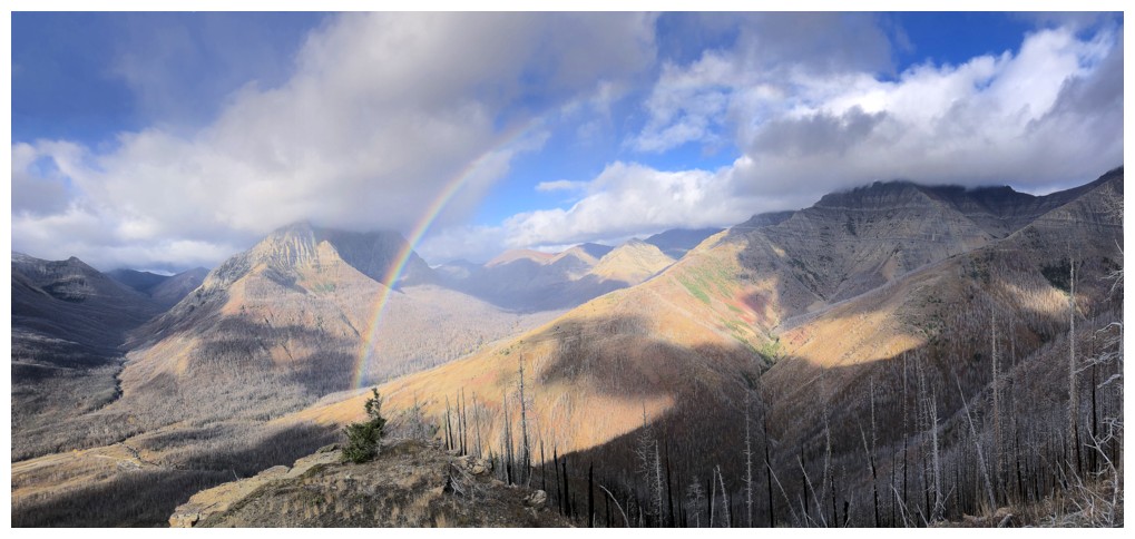
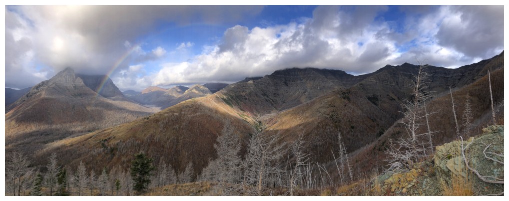
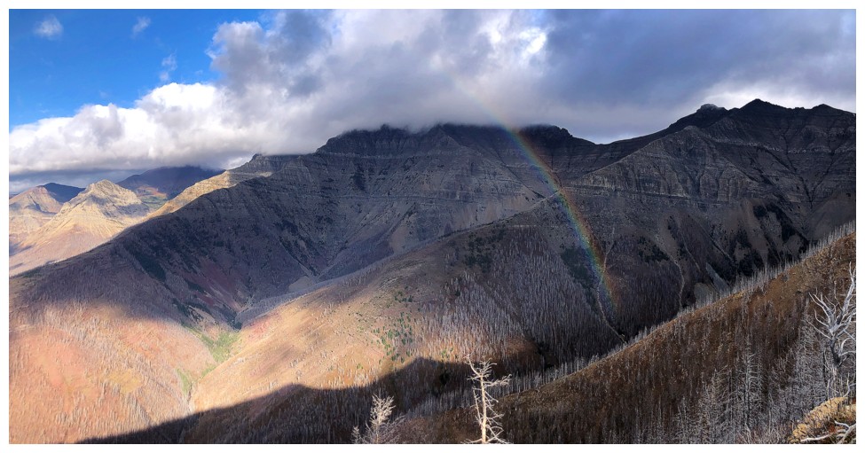
The rainbow appears and will command much attention for quite a while
There will be close-ups...
...and "far-ups"!
...and in-betweens
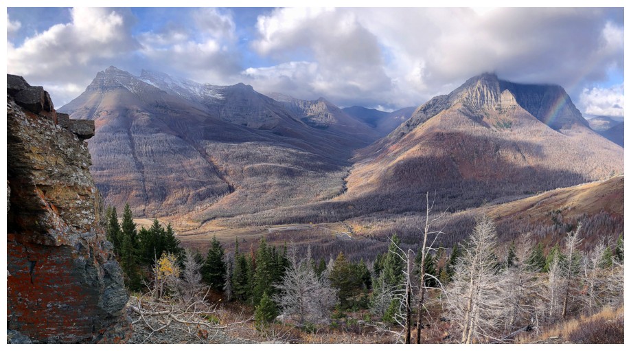
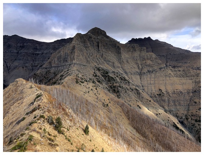
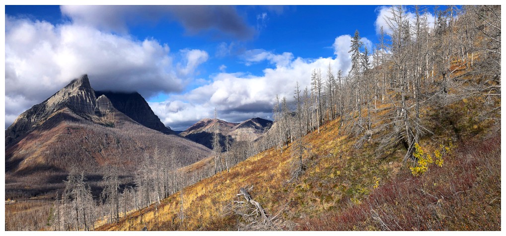
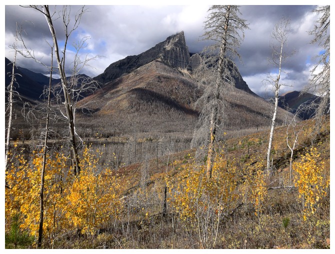
Looking over to Dundy (right) and Cloudy Ridge, one of the best loop routes you could ever do
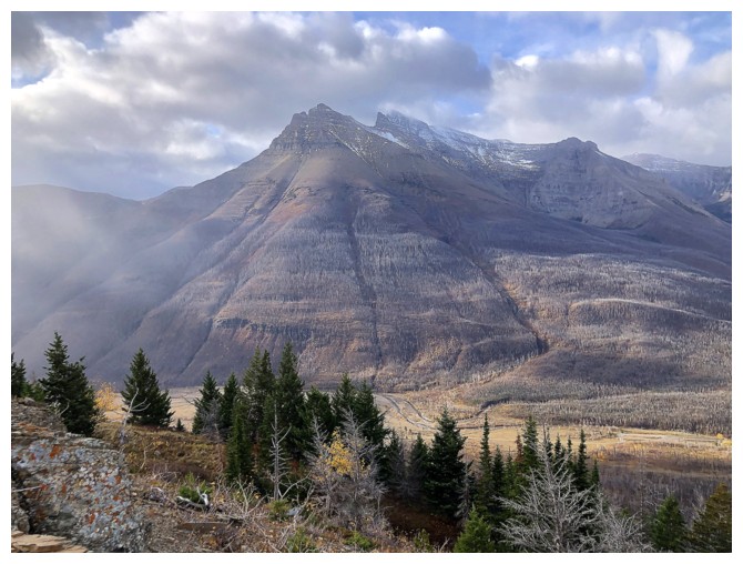
Mount Blakiston - part of another outstanding loop route
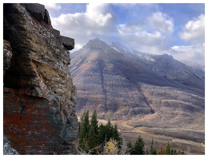
Not much lichen on this route so I had better take advantage when it appears
The lichen and the rainbow
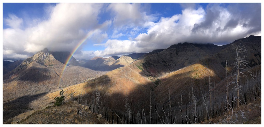
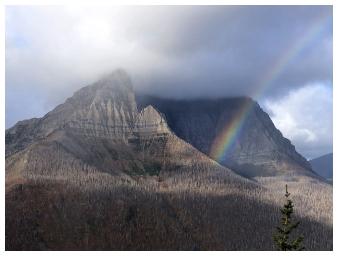
Back to focusing on the rainbow because it's getting brighter
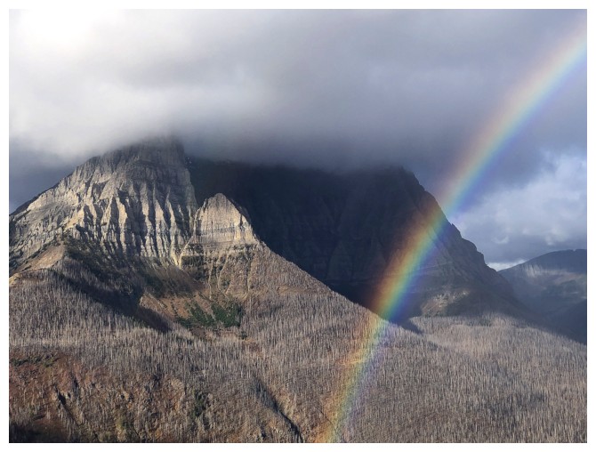
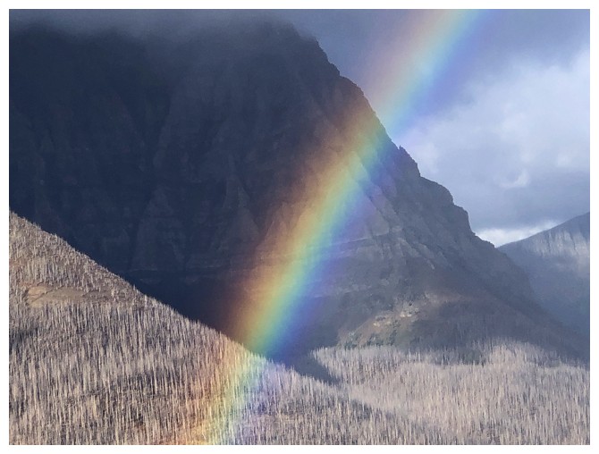
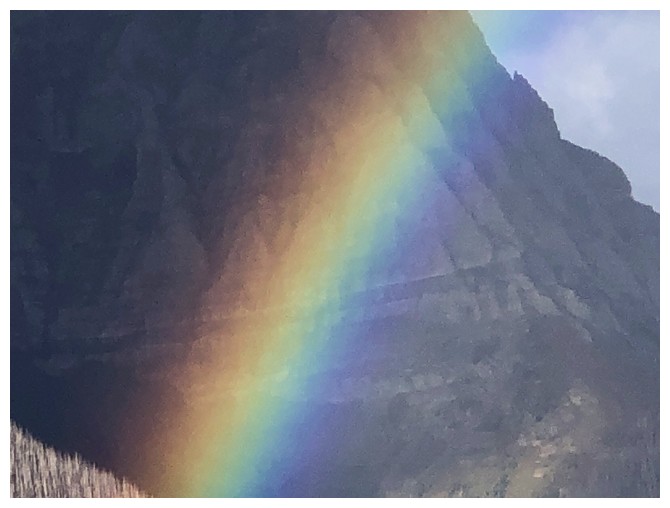
The brightest it got
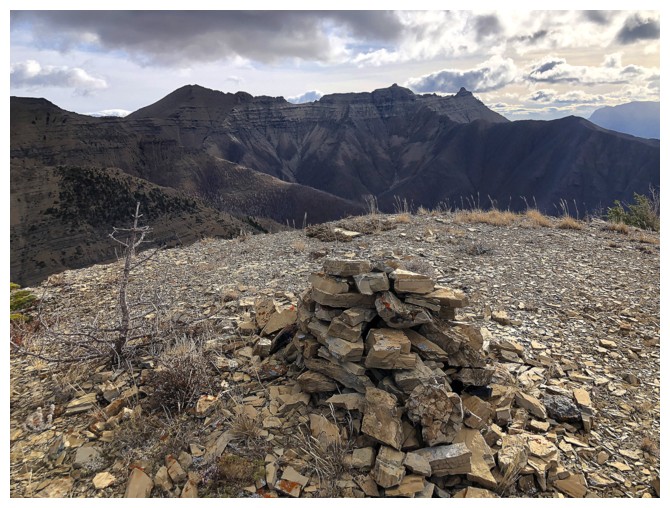
The summit cairn and view to the east.
The route up Dundy I "reconned" in 2011
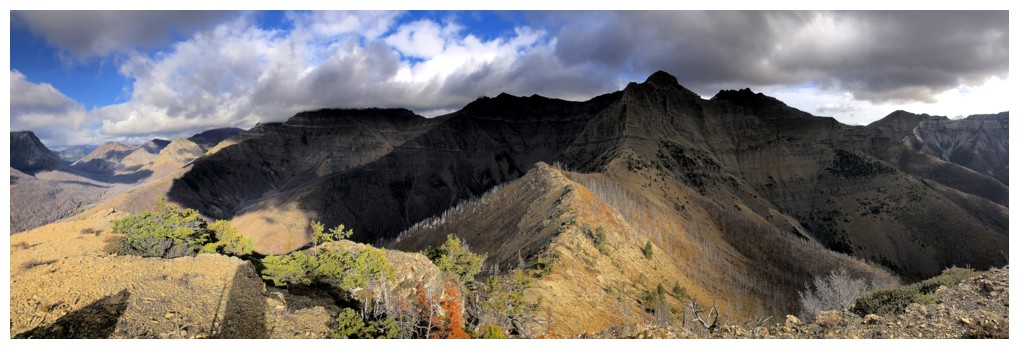
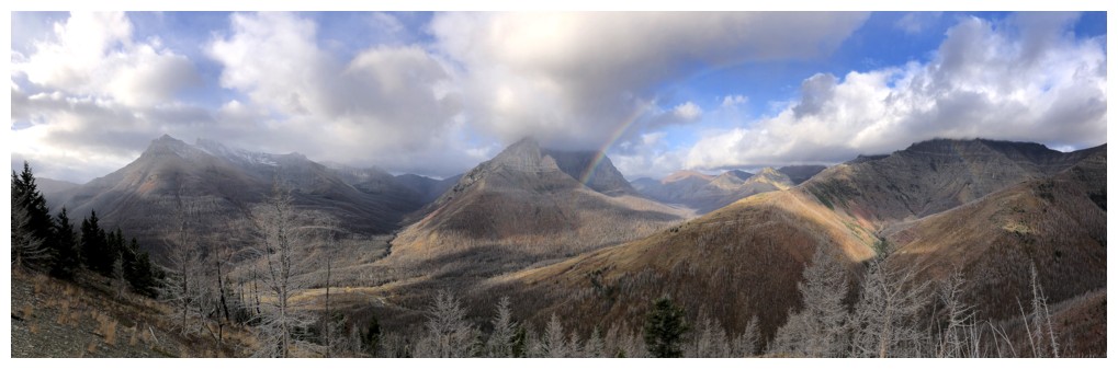
Summit pano to the northeast
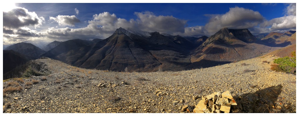
Summit pano west
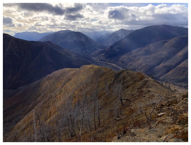
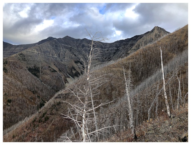
Looking down the alternate descent ridge
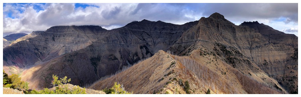
Last pano
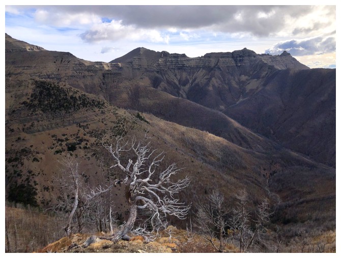
Cool tree with Rogan, Galwey North, and Mount Galwey behind
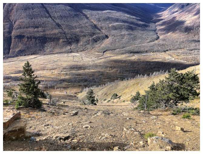
Looking down the descent route I decided to take
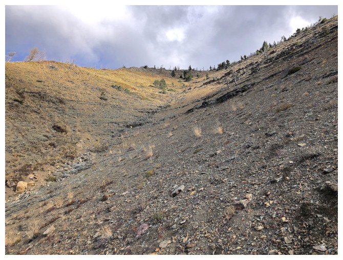
Looking up it. There was an excellent section of scree surfing here.
Colourful, descending traverse back to Red Rock Canyon
Back to Anderson Peak
The End
LOG