Dundy Peak II
July 7, 2021
Mountain heights: 2432 m, 2541 m
Elevation gain:
1296 m
Round-trip time: 9:06
Scrambling with Dave.
I was more than happy to do repeat ascents of
Dundy Peak or Cloudy Ridge as separate trips, but when Dave suggested we do
both as a loop route, I was more than more than happy! (not a
typo, just grammatically awkward!). Liz and Mike Imhof had traversed the ridge from
Cloudy to Dundy, earlier in the year so we knew the entire route would go as a scramble.
Perhaps the best aspect of this loop,
however, would be at either ends of the trip: ascending Lost Horse Creek and
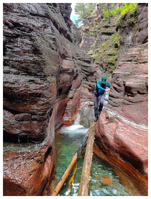
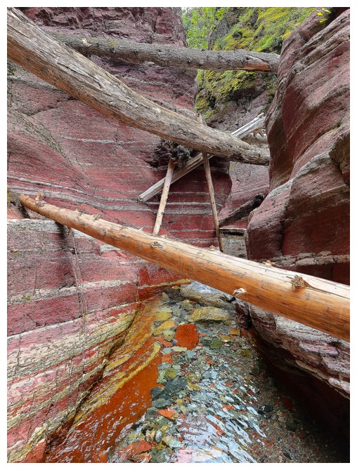
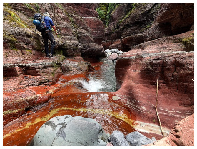
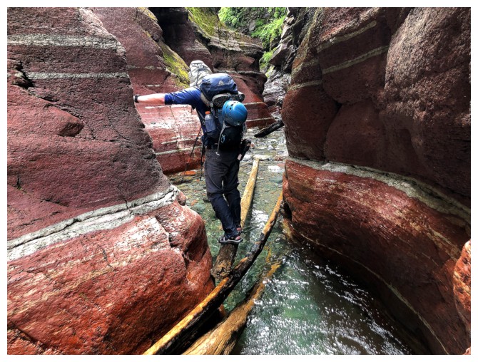
then descending Red Rock Canyon. Both canyons are geological marvels, with breath-taking
scenery at every turn. I was equally excited to hike/scramble the canyons as
ascend the peaks.
Without going into a play-by-play, everything
about this trip, except for the less than perfect weather, was as incredible as
incredible can get – magnificent Lost Horse Creek, the super interesting ascent
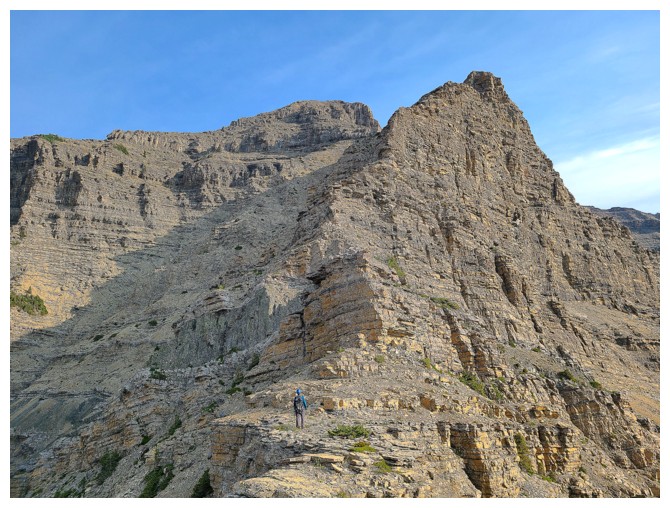
of Dundy, an amazing ridgewalk between Dundy and Cloudy Ridge, fantastic views
from both summits, the easy descent off Cloudy, and then an awe-inspiring
descent of Red Rock Canyon to top off possibly the best loop route I’ve ever
done. Throwing in Mount Dungarvan at the beginning would render this truly
unbeatable route an even more truly unbeatable route (again, not a typo, just
intentionally ambiguous!)
A totally awesome day – great route planning
Dave!
Click HERE to see Dave's outstanding reports
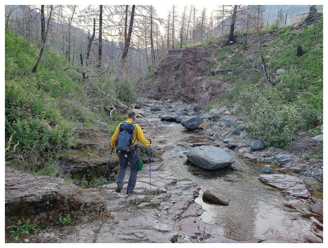
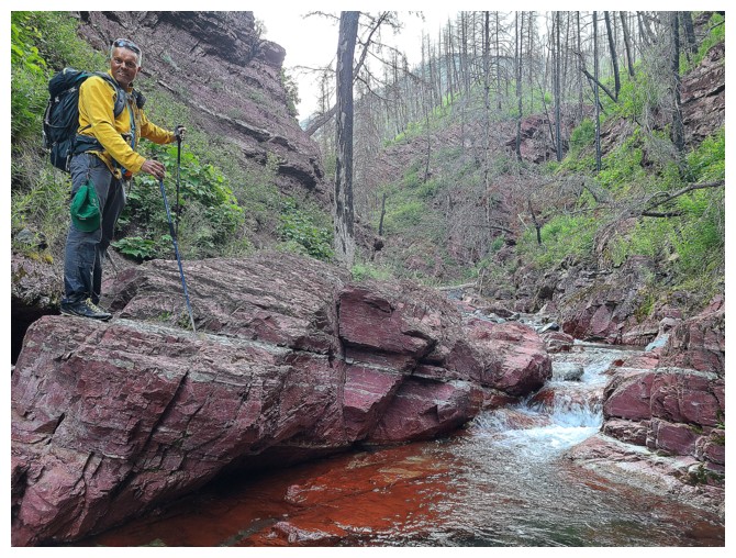
The start of Lost Horse Creek is nothing to write home about (photo by Dave)
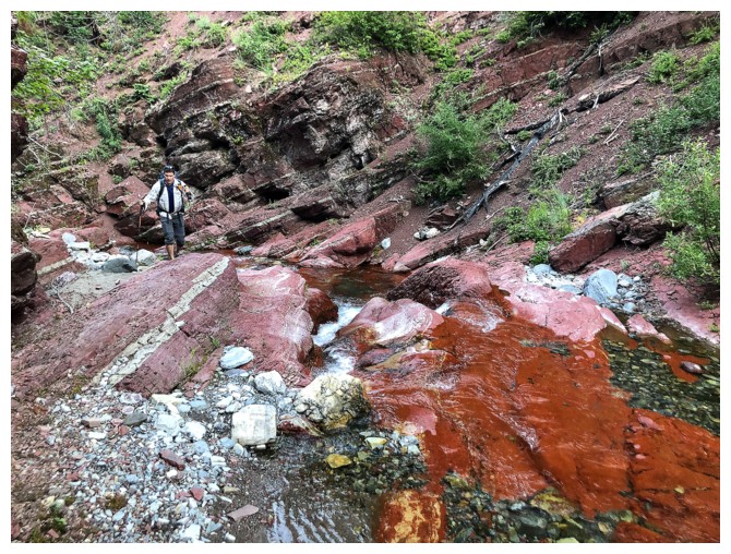
But that quickly changes (photo by Dave)
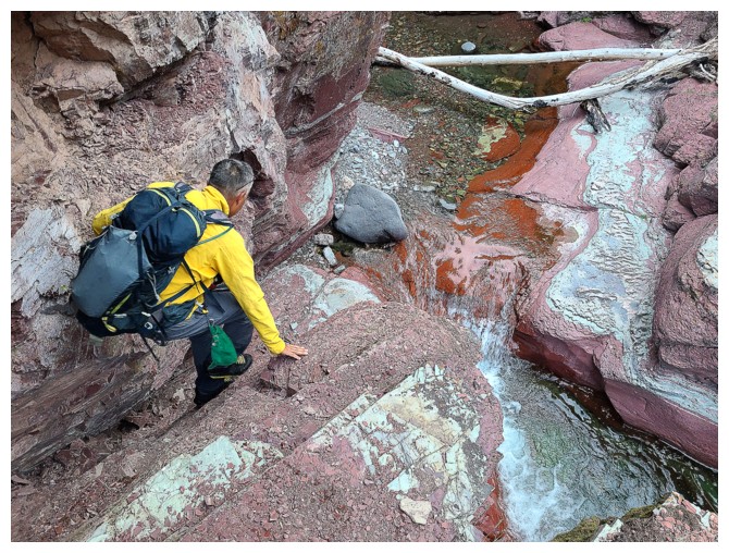
No shortage of red argillite in Lost Horse
Fun bit of scrambling (photo by Dave)
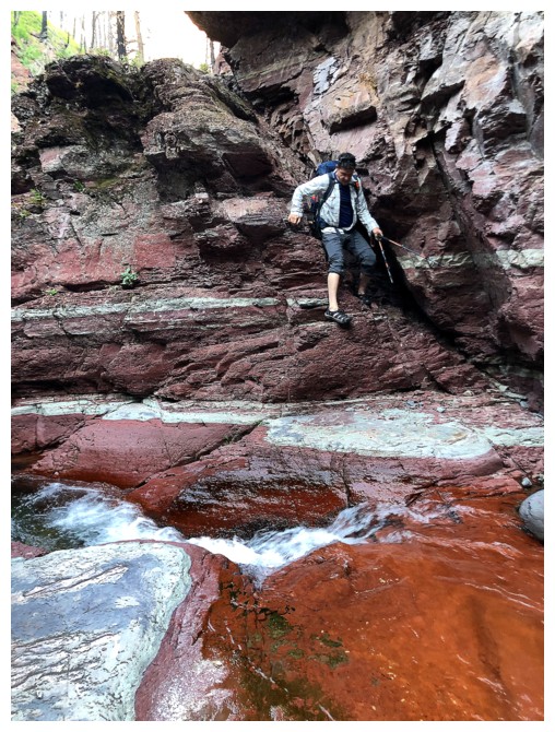
Dave descends the step
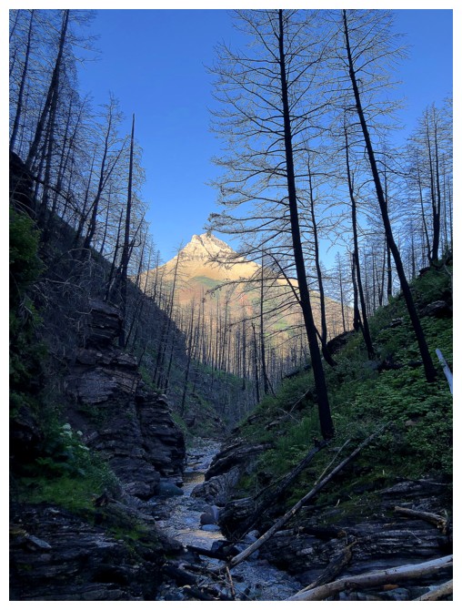
The lack of Sunlight in the canyon is bit of a bummer, but at least Mount Blakiston is getting some Sun-love
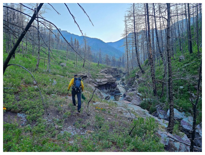
Hiking above the canyon for efficiency (photo by Dave)
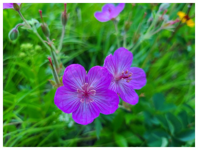
A
sticky geranium (I only know this because it's on Dave's page,
otherwise I would just have called it a pretty purple flower!) (photo
by Dave)
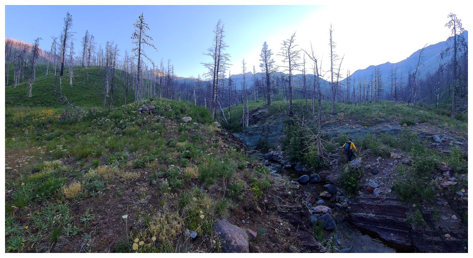
Onto the south ridge of Dundy (photo by Dave)
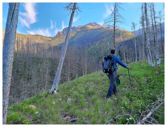
The objective appears (photo by Dave)
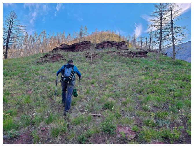
Pleasant travel up easy slopes (for now!) (photo by Dave)
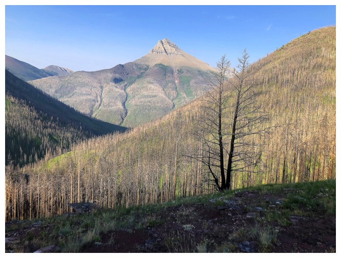
The east end of Mount Blakiston
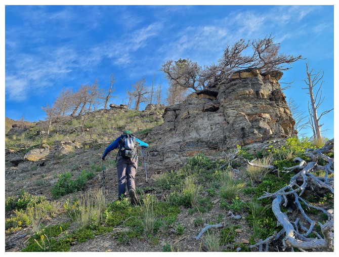
Grassy slopes give way to rocky ones (photo by Dave)
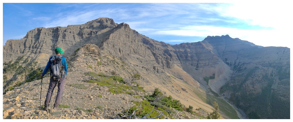
Good look at the route ahead. Mount Dungarvan at the right (photo by Dave).
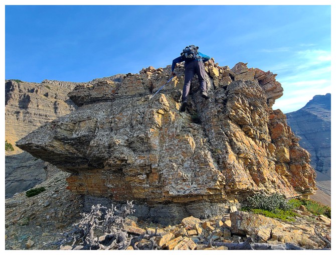
Fun little step (photo by Dave)
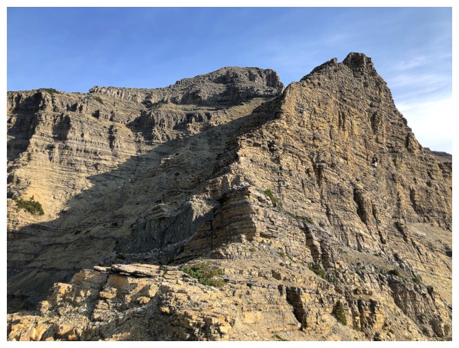
The ridge ahead
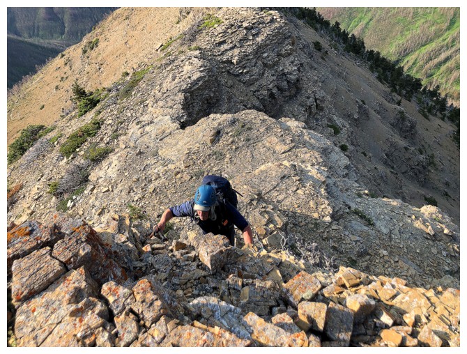
Dave scrambles up a rock-step
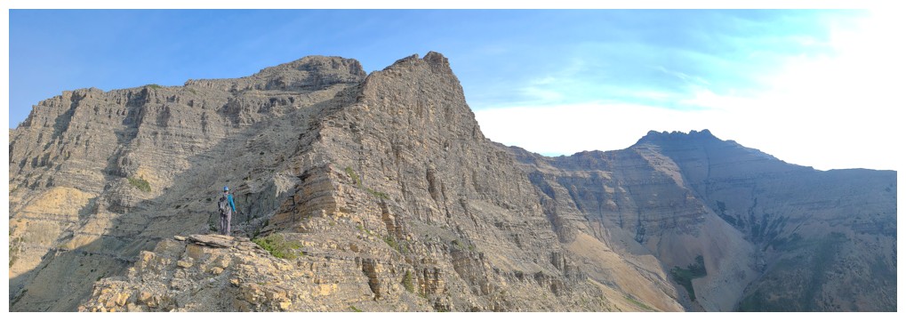
Dave's view of me (photo by Dave)
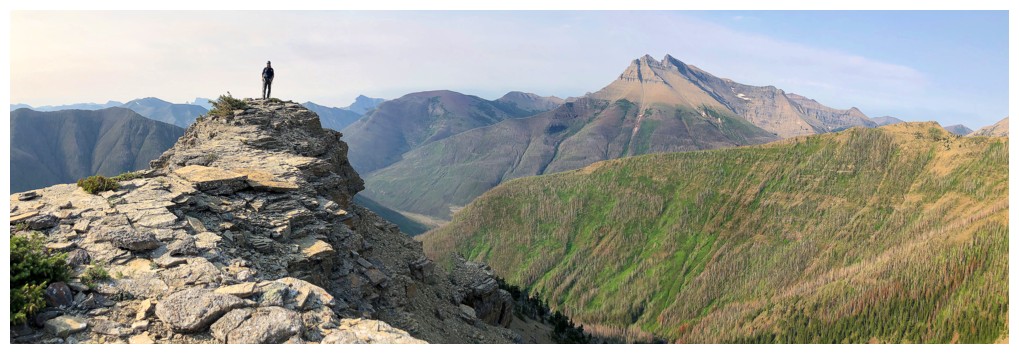
My view of Dave
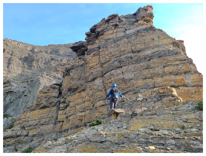
That doesn't look like a scramble! (photo by Dave)
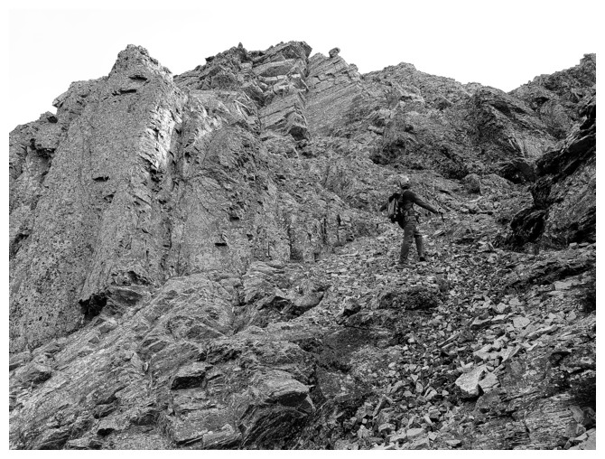
Great black and white by Dave, as we circumvent that rock band
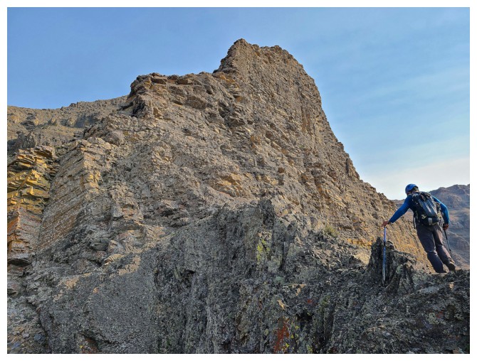
Back on the ridge for a little while but it won't last (photo by Dave)
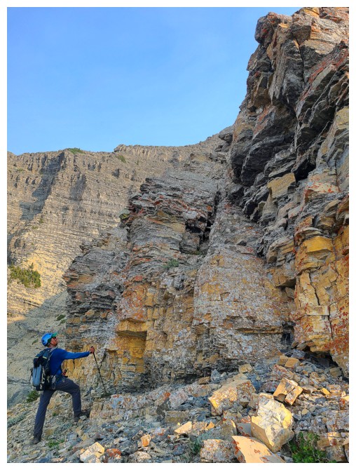
Looking for a way up (photo by Dave)
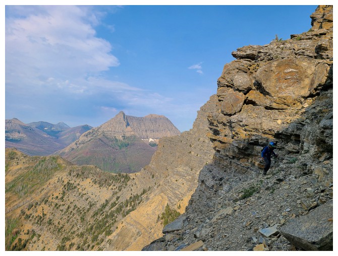
Dave finds one
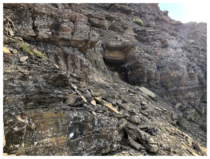
Dave near a small cave-like feature
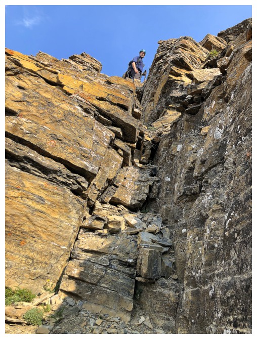
Then he scrambles up this chute
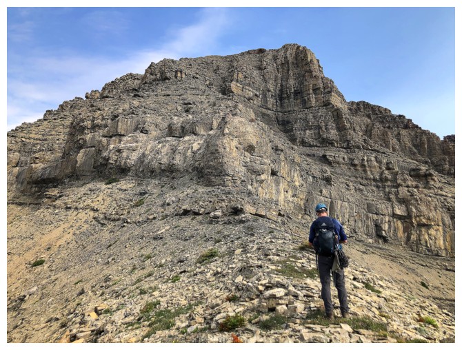
Approaching the crux

Mount Blakiston is featured throughout
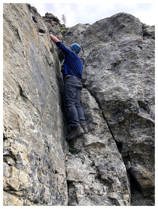
Dave checks out a potential route up the steep limestone band
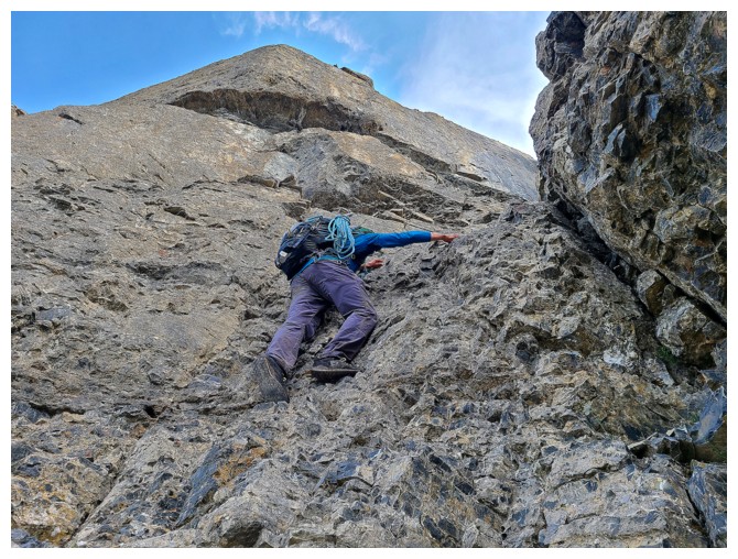
In the end we picked this one (photo by Dave)
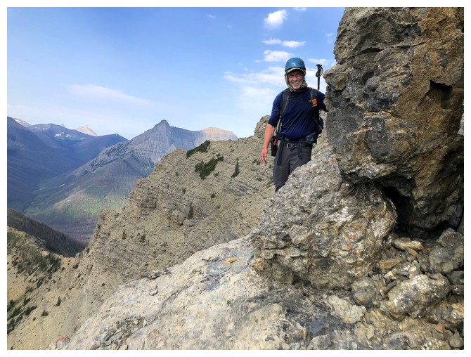
Dave is all smiles, as the most challenging terrain is behind us
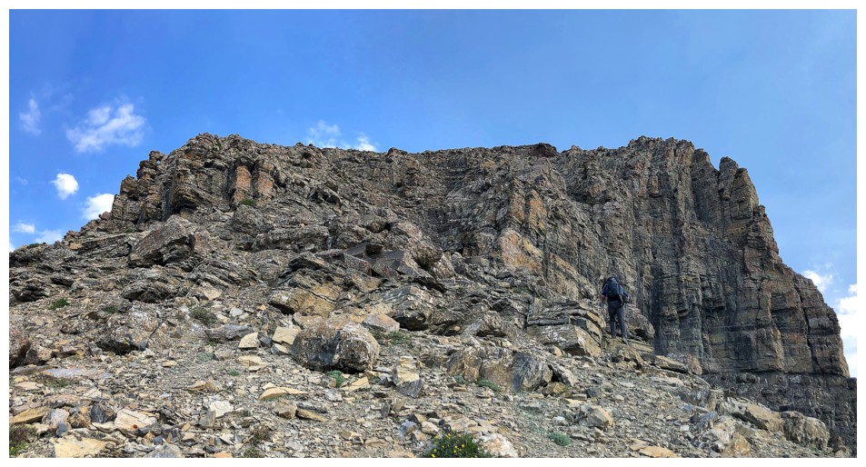
Much easier beyond the crux
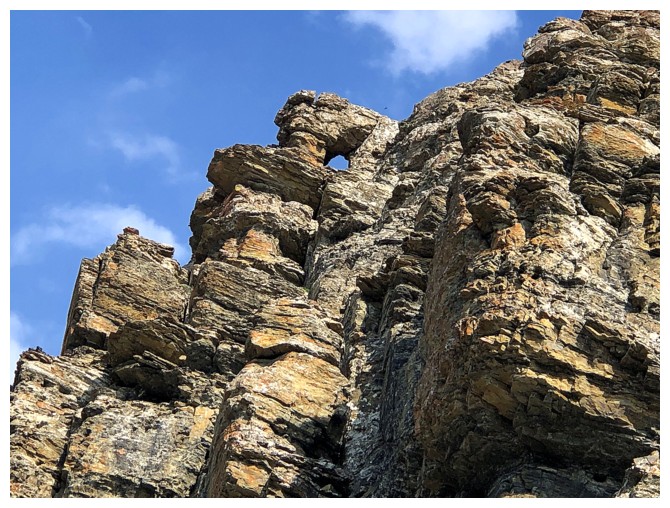
Cool rock window
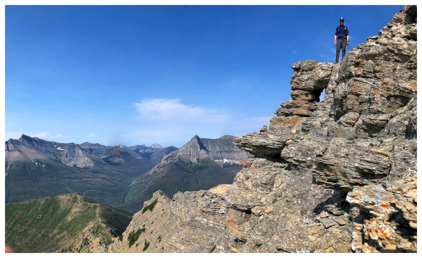
Cool dude atop the cool rock window
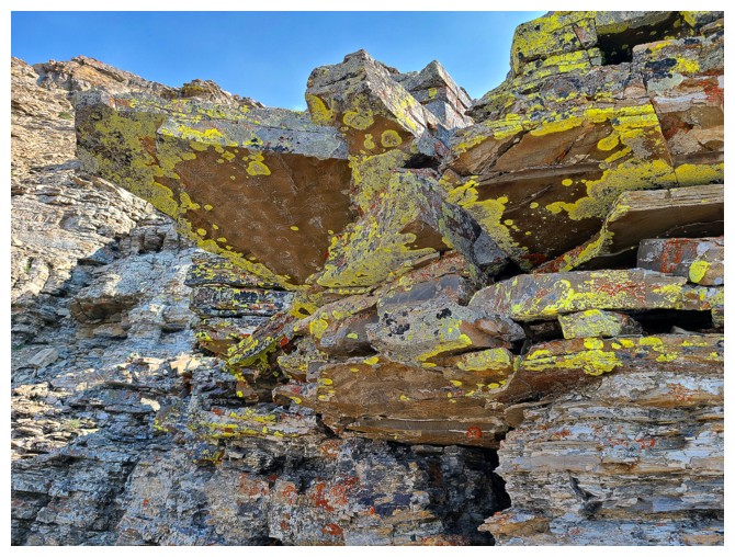
Amazing we made it this far without a yellow lichen shot! (photo by Dave)
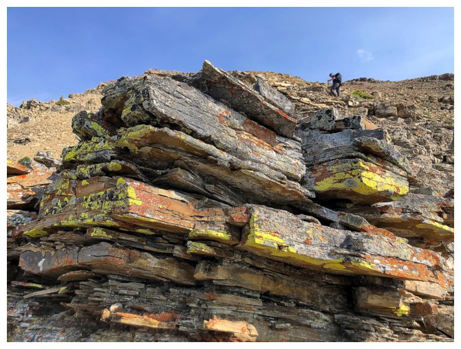
I won't be denied the same
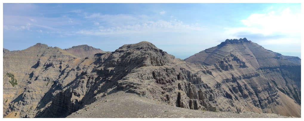
Dundy dead ahead, Cloudy and Junior to the left, and Dungarvan to the right (photo by Dave)
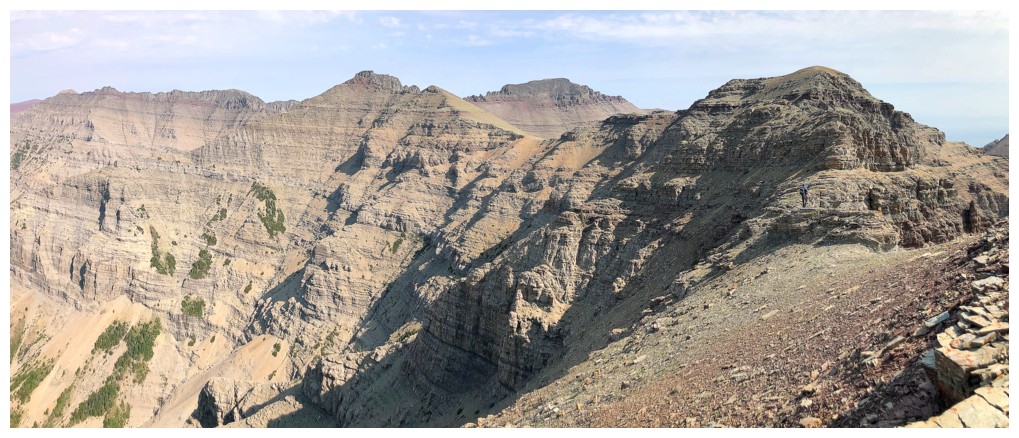
Similar view, but with Cloudowan at the left - another super entertaining ascent
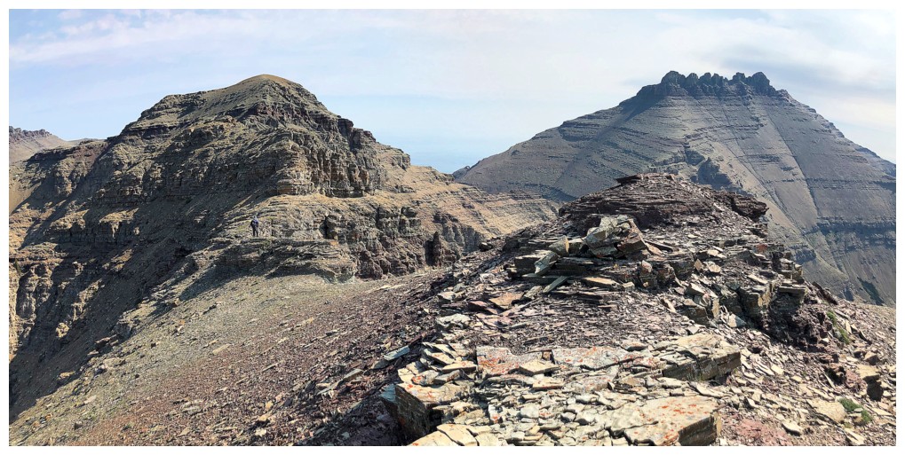
Dundy and Dungarvan again. Apparently I really loved the views in that general direction!
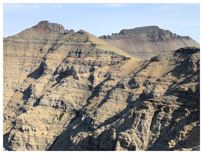
Closer looks at the Cloudies
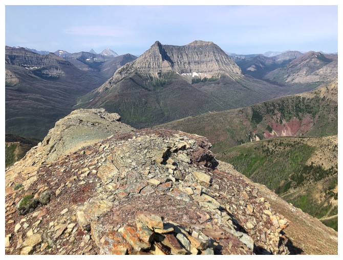
Anderson Peak is also prominent once the upper ridge is gained
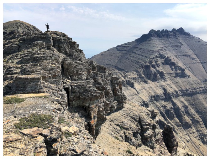
Dave leads the way to the summit of Dundy
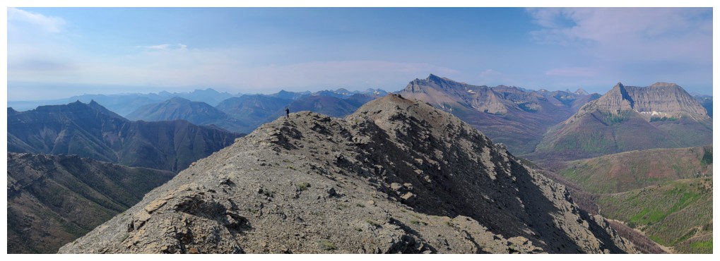
I follow (photo by Dave)
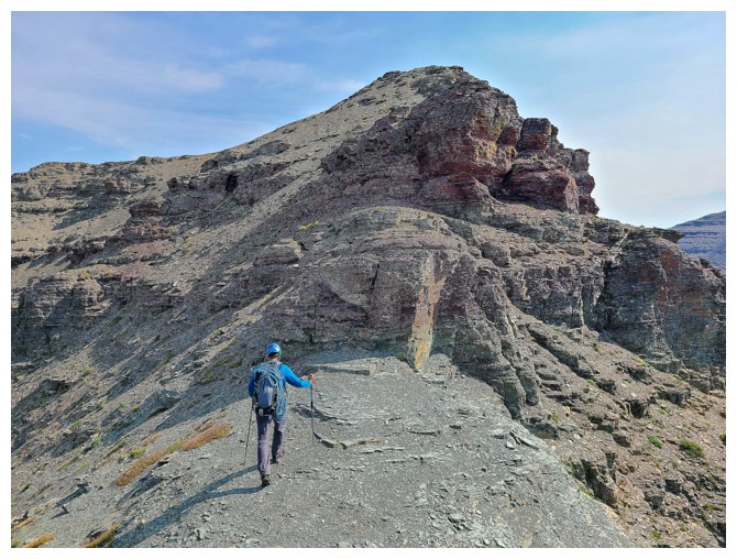
Dave must have taken a 20-minute nap to let me catch-up! (photo by Dave)
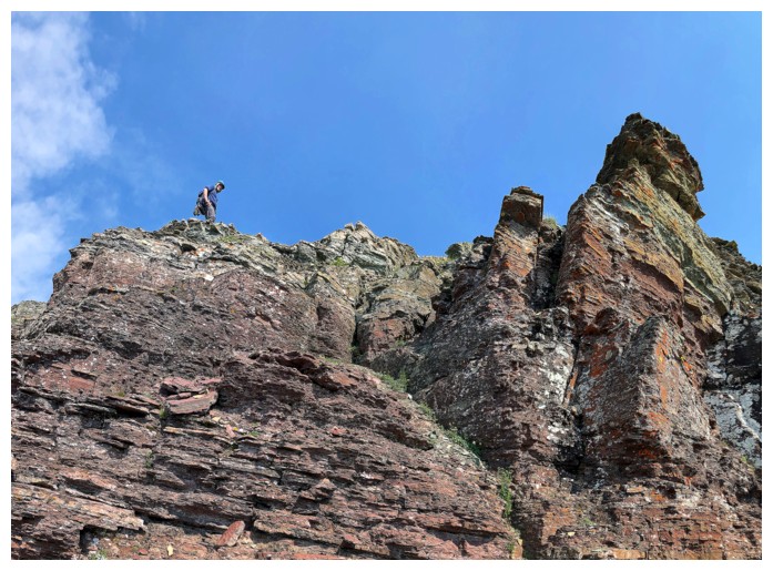
That didn't last long - he's ahead again
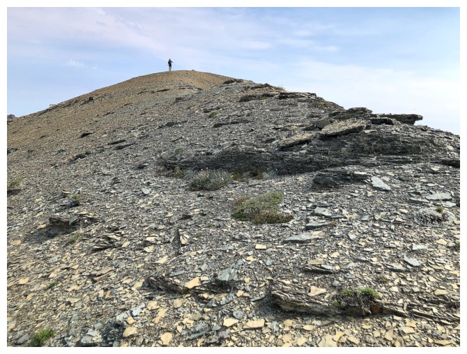
Dave at the summit
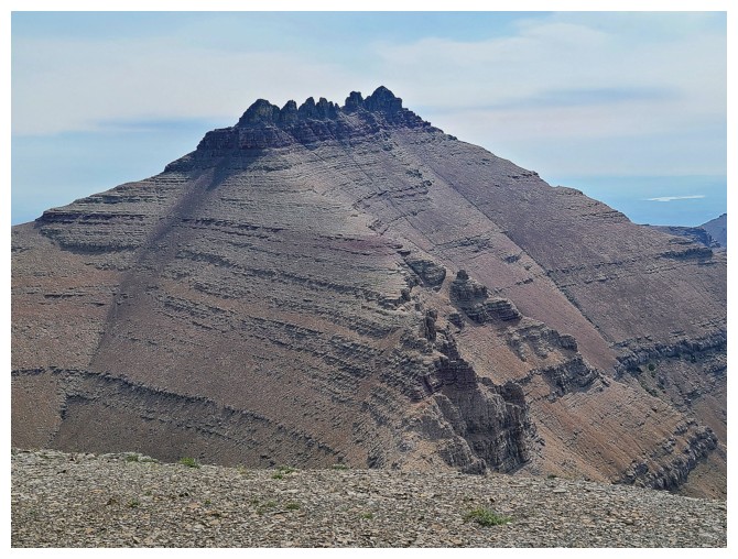
Dungarvan can be ascended from multiple directions (photo by Dave)
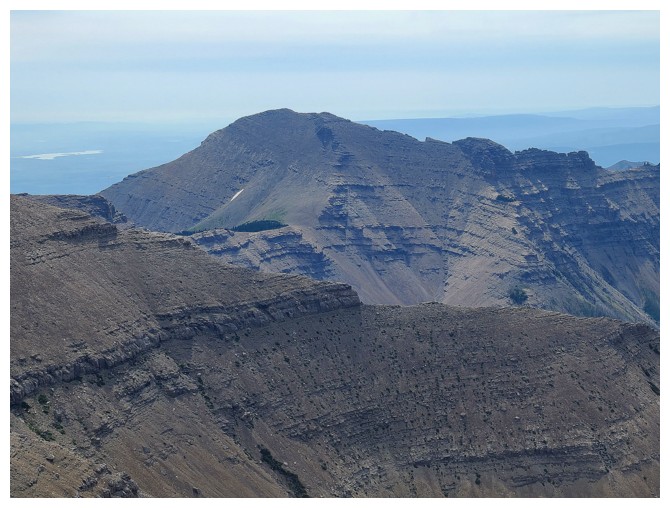
Rogan Peak - likewise, from multiple directions (photo by Dave)
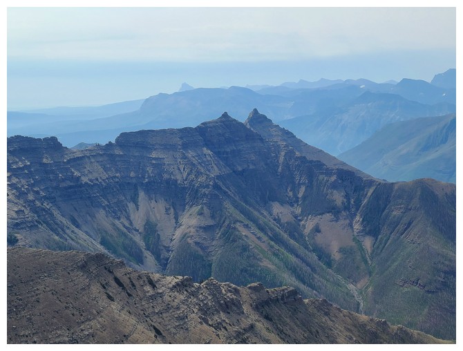
Galwey North and Mount Galwey (photo by Dave)
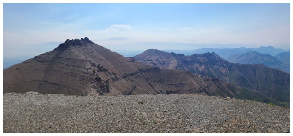
All of the above (photo by Dave)
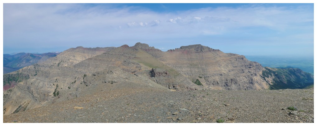
View over to Cloudy Ridge and Cloudy Junior (photo by Dave)
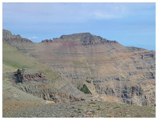
Cloudy Junior - several memorable ascents of that one (photo by Dave)
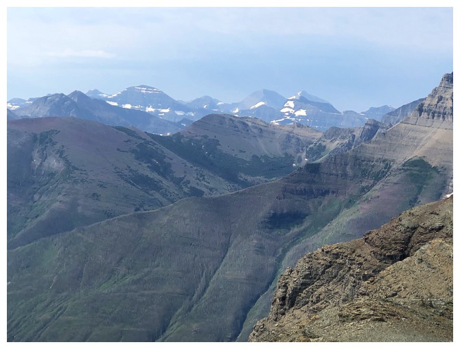
Mountains in Glacier National Park
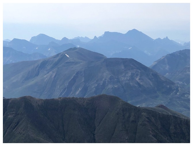
Mount Cleveland dominates the background, Mount Crandell the foreground
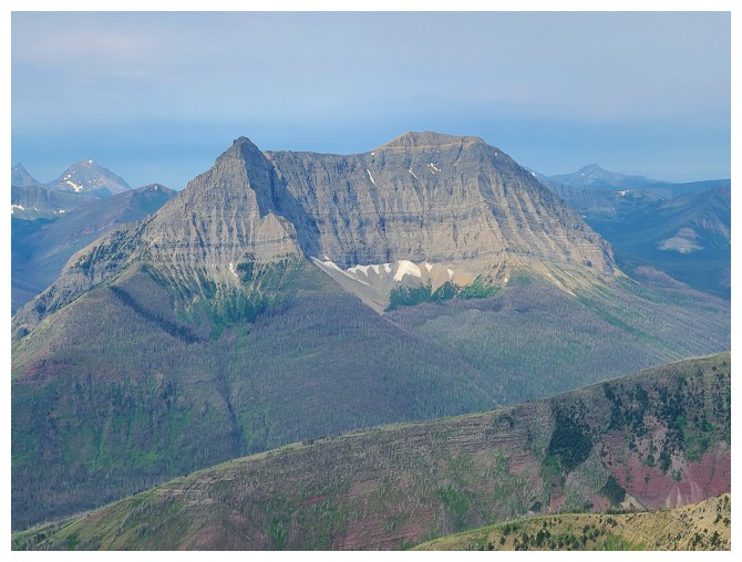
Closer look at Anderson Peak - still one of my favourite scrambles ever (photo by Dave)
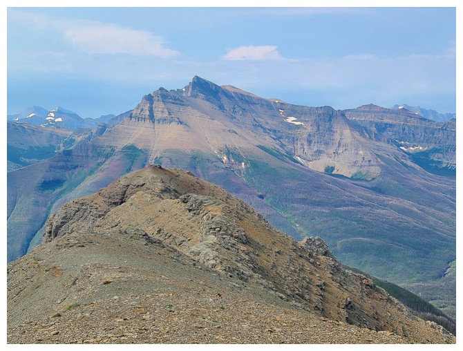
Blakiston again - another awesome Waterton scramble (photo by Dave)
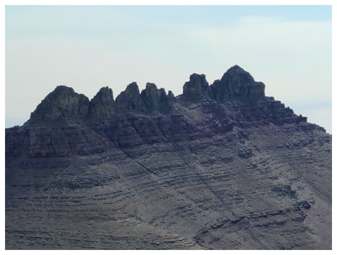
Dungarvan's stegosaurus-like summit block (photo by Dave)
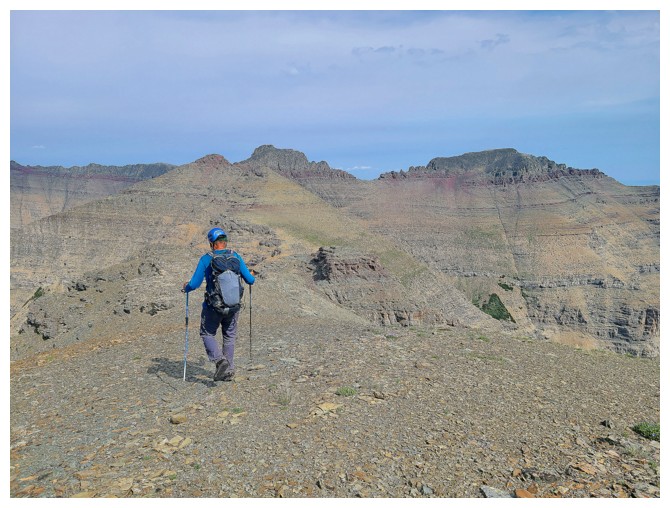
Departing for Cloudy Ridge (photo by Dave)
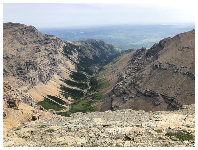
The valley between Dungarvan and Cloudy Ridge - very difficult to access (if not impossible due to private property)
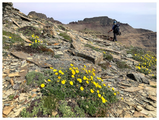
Dave, some wild flowers, and the Cloudies behind
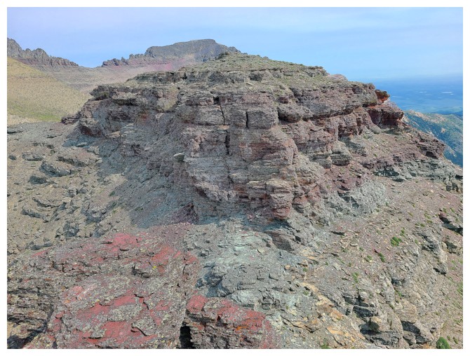
It's going to be a colourful traverse to Cloudy Ridge (photo by Dave)
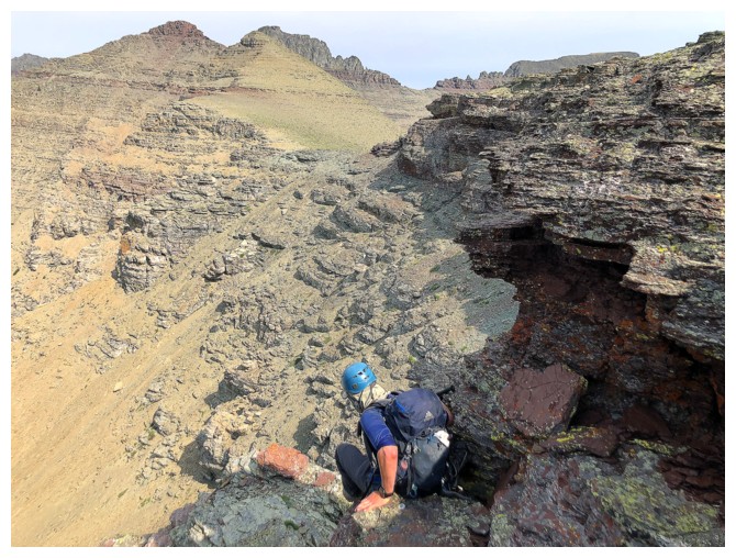
Dave carefully downclimbs a step
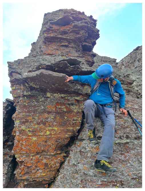
I do the same, but am distracted by the cool rock (photo by Dave)
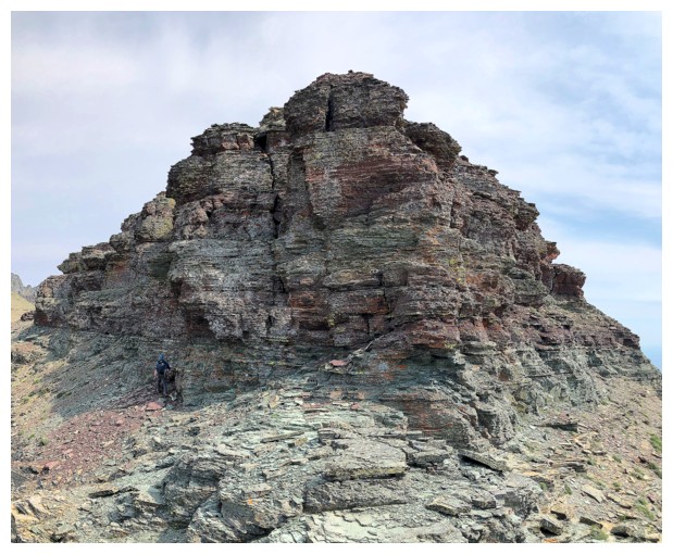
This rock band was circumvented on the left side
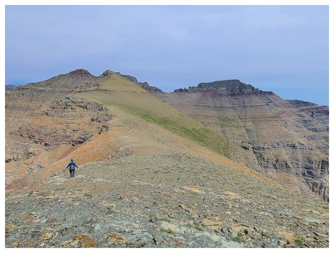
A little stretch of easy hiking (photo by Dave)
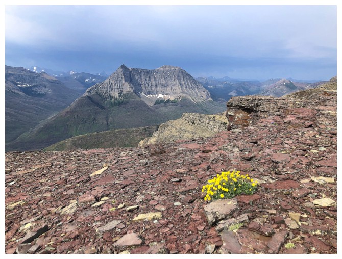
Anderson and wildflowers
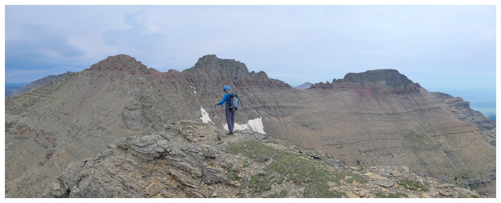
At a highpoint, looking at the next section (photo by Dave)
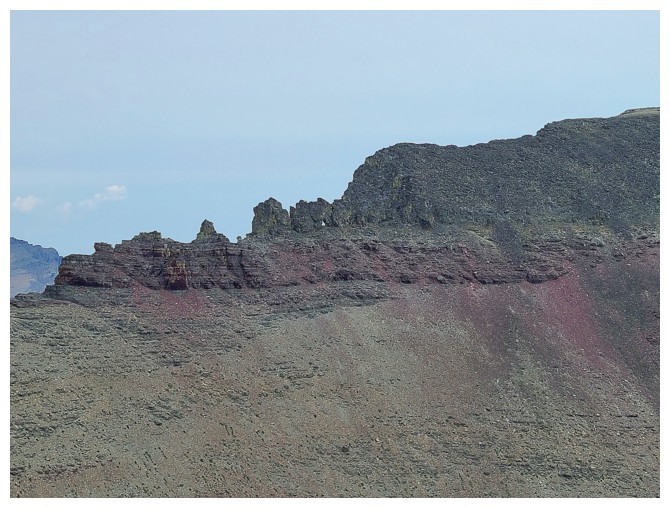
Small rock window on Cloudy Junior (photo by Dave)
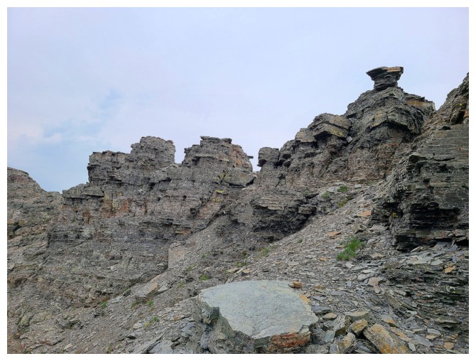
This section is more involved - some of the ridge is easily traversed, while others sections are best circumvented (photo by Dave)
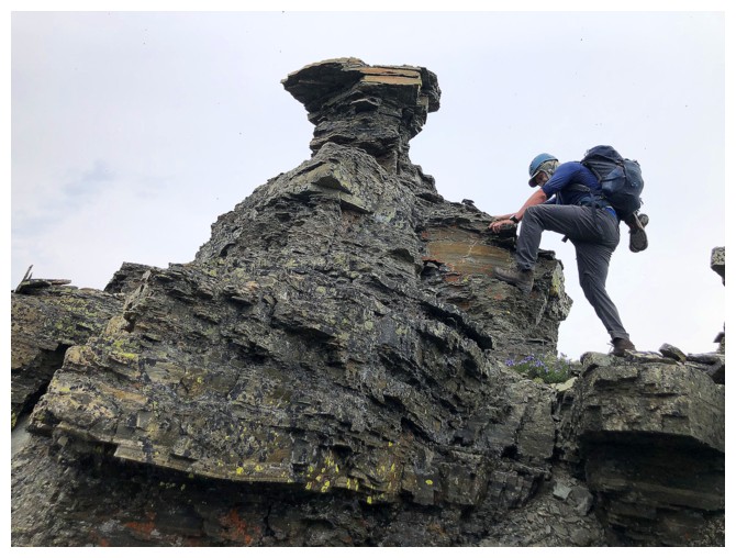
Circumventing this section would have been easy, but Dave is always up for some hands-on scrambling
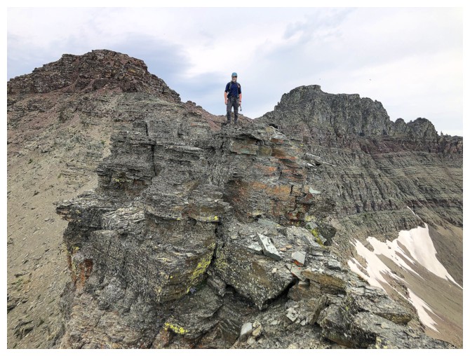
Another highpoint is reached
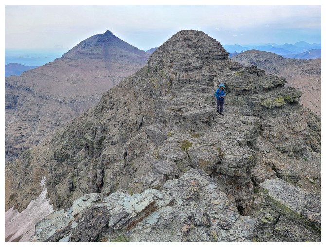
Dave's view of me and the ridge (photo by Dave)
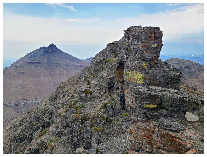
Going around this section of ridge (photo by Dave)
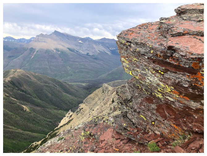
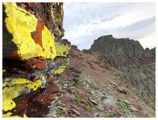
Yellow lichen on red argillite demands clear skies - I must go back!!
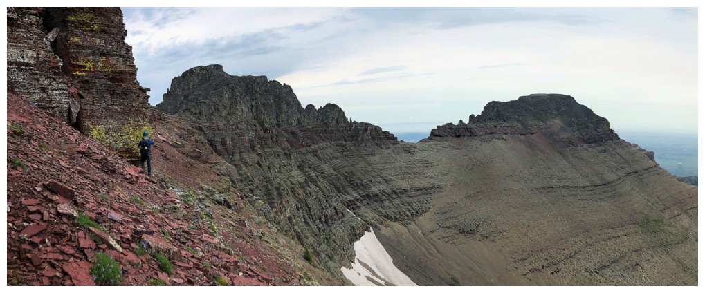
We picked the right side of the ridge to get by this huge outcrop of red argillite
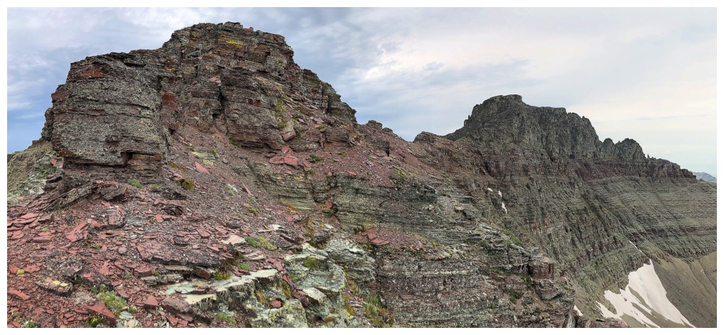
Same as above
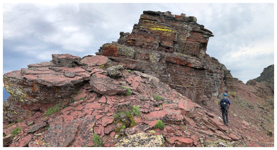
Ditto
Ouch!
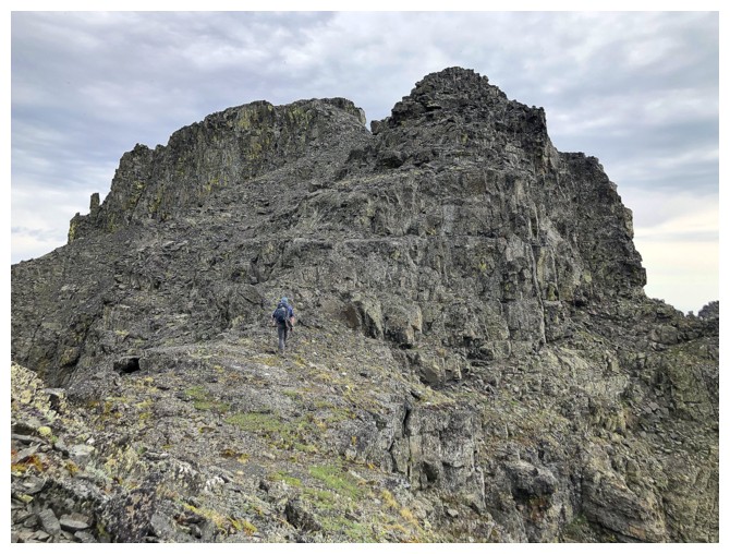
Past the argillite and onto the igneous section
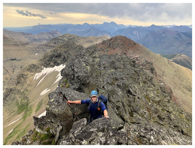
More scrambling
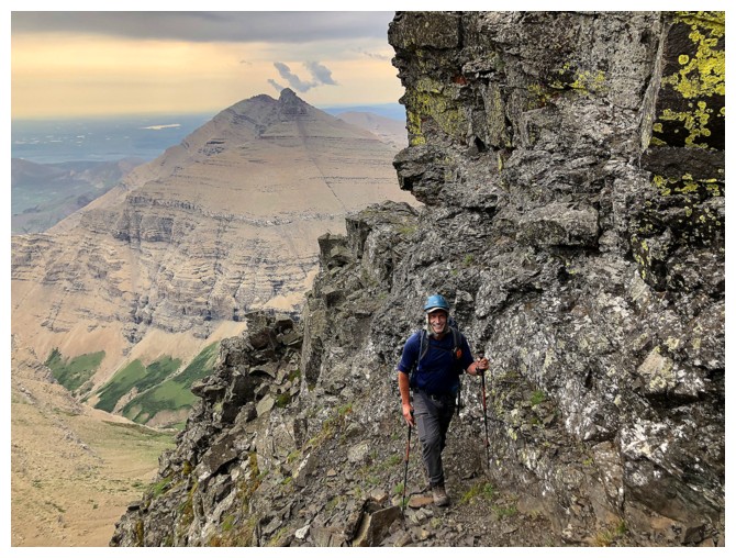
There is a little exposure going around to the back side of the summit block
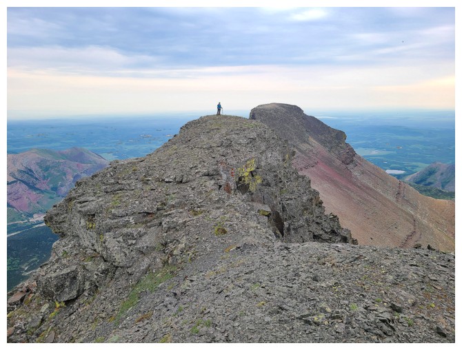
Dave is already at the second summit of the day. There's me (photo by Dave).
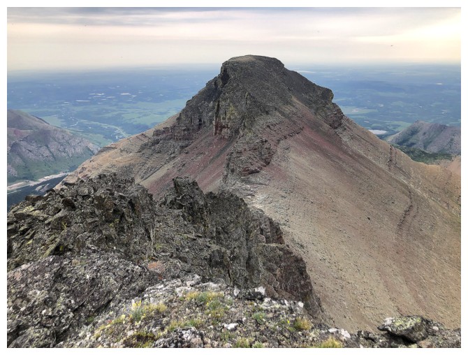
The southwest ridge of Cloudy Jr.
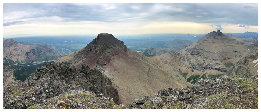
Same as above, plus Dungarvan
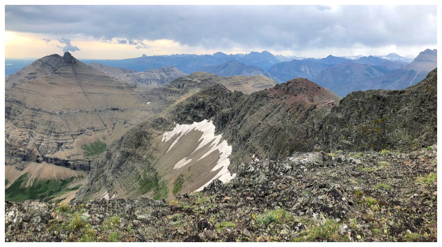
Now Dungarvan, Dundy, and some the traverse from Dundy to Cloudy
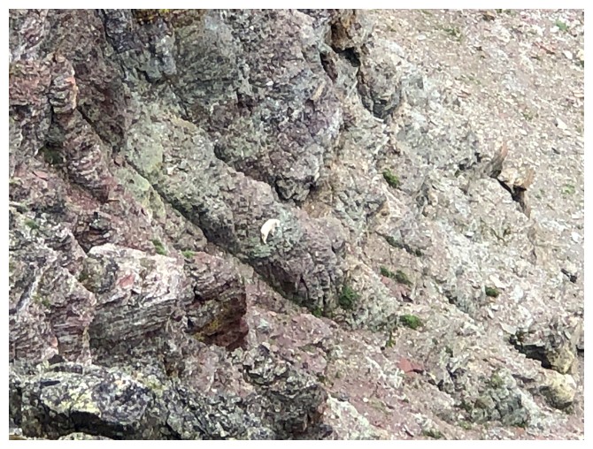
A mountain goat in a scary place - because that's what they do!
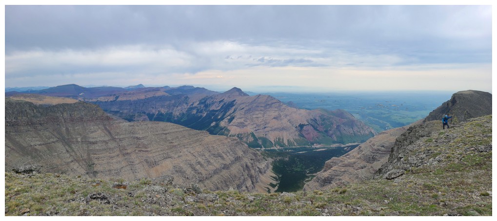
Summit view to the north includes, Yarrow, Roche, and many more. I'm at the right, still trying to catch up with Dave! (photo by Dave)
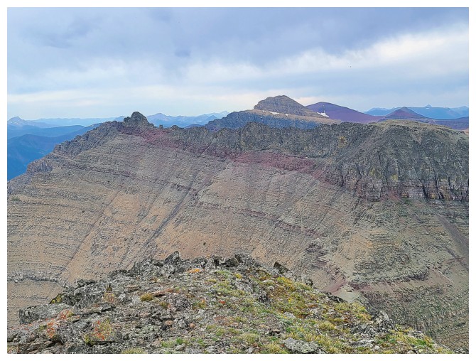
Mount Glendowan in the background and Cloudowan in the foreground (photo by Dave)
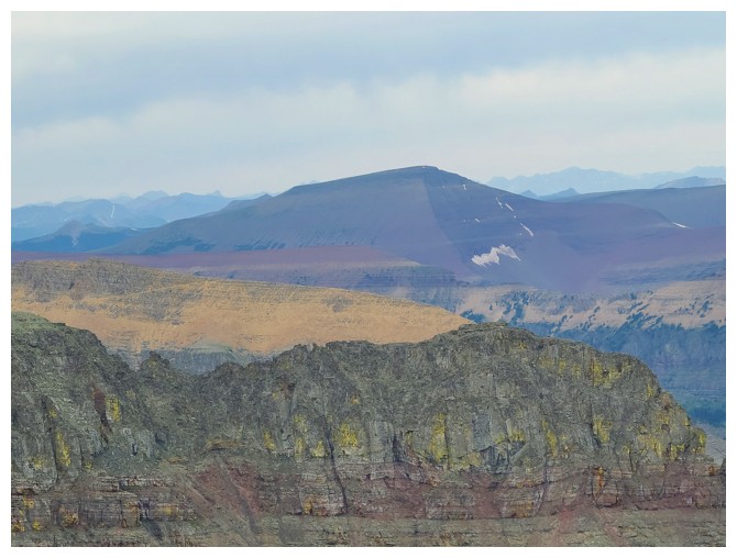
Loaf Mountain (photo by Dave)
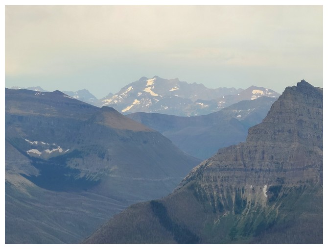
Long Knife Peak (photo by Dave)
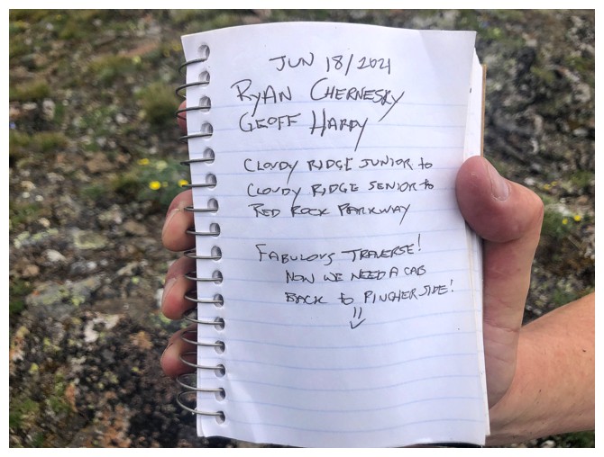
A
most intriguing entry in the summit register. Less than a month
earlier, Ryan and Geoff completed a route that has likely never been
done and will never be repeated. They ascended Cloudy Junior from the
Yarrow Creek side, traversed to Cloudy Ridge, called for a taxi from
the summit, descended to Red Rock Canyon, and then took the taxi back
to the Yarrow Creek side - epic and ballsy - hats off to you both!
(photo by Dave)
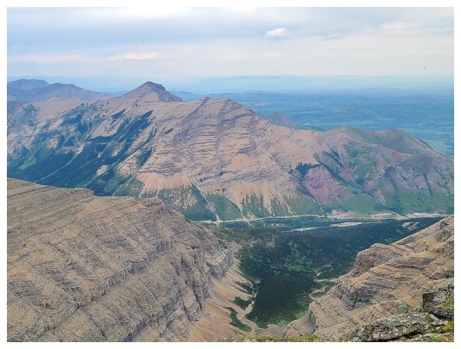
Closer look at Roche and Yarrow (photo by Dave)
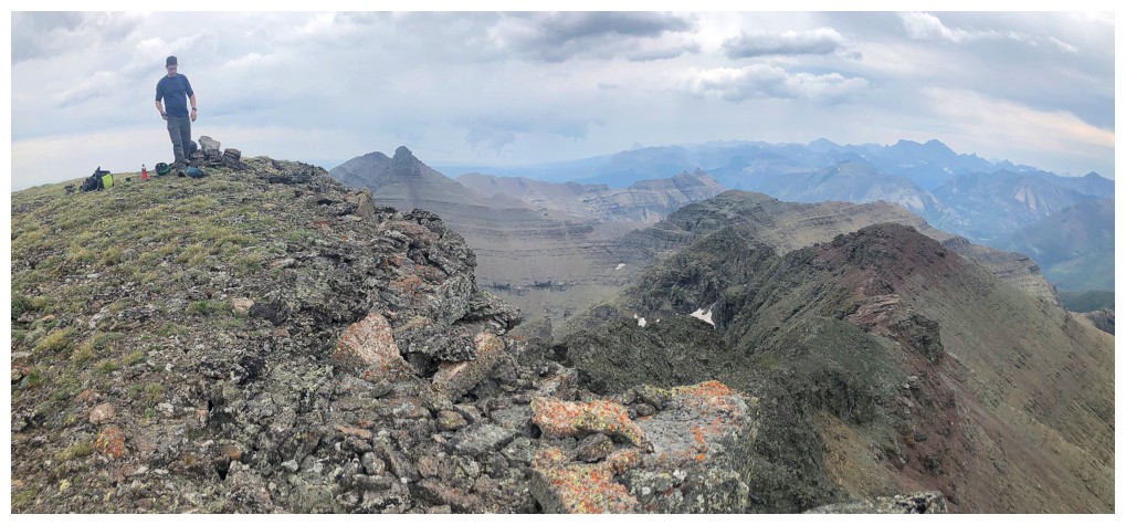
I've finally caught up to Dave
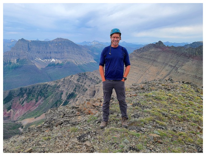
Happy because he's well rested, waiting for me!
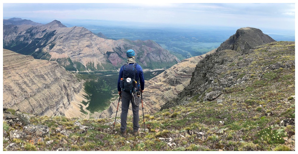
Dave takes in the view to the north
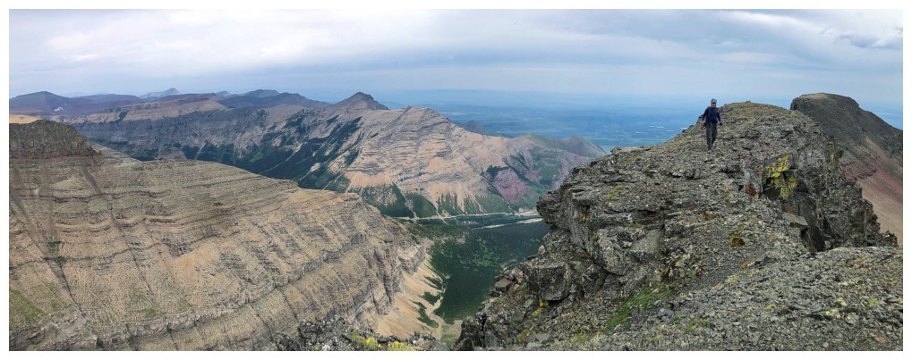
Time to leave
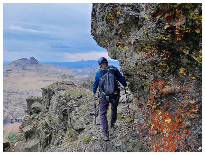
Back over that exposed part (photo by Dave)
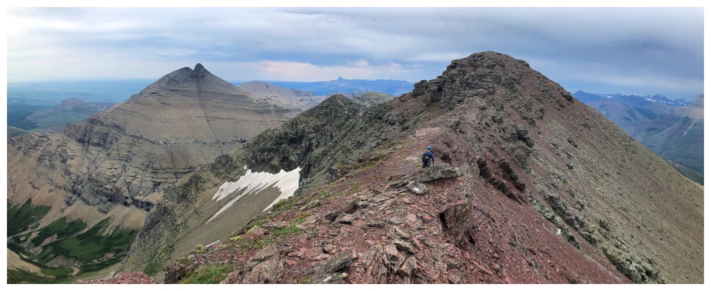
The descent involves returning to the first highpoint, south of the
summit, and then turning right, onto the south ridge of Cloudy
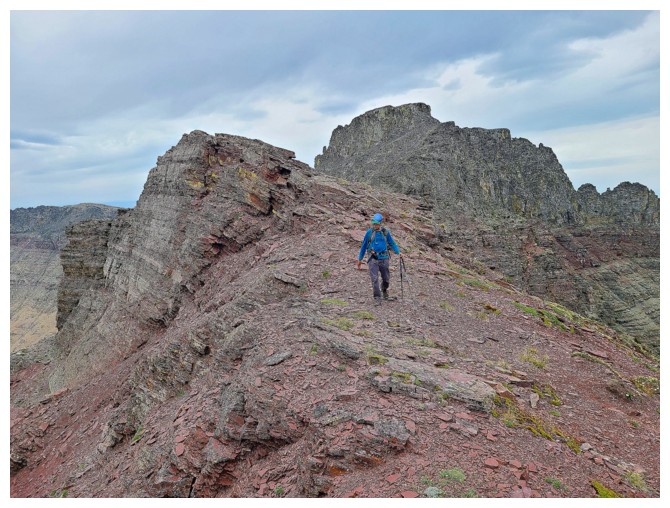
Part way to the highpoint (photo by Dave)
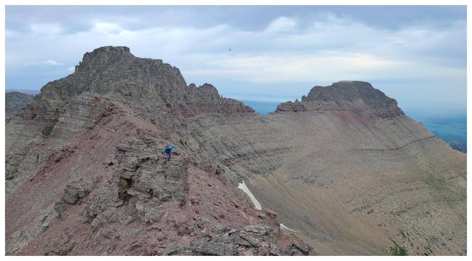
Same as above (photo by Dave)

The south ridge of Cloudy at the left
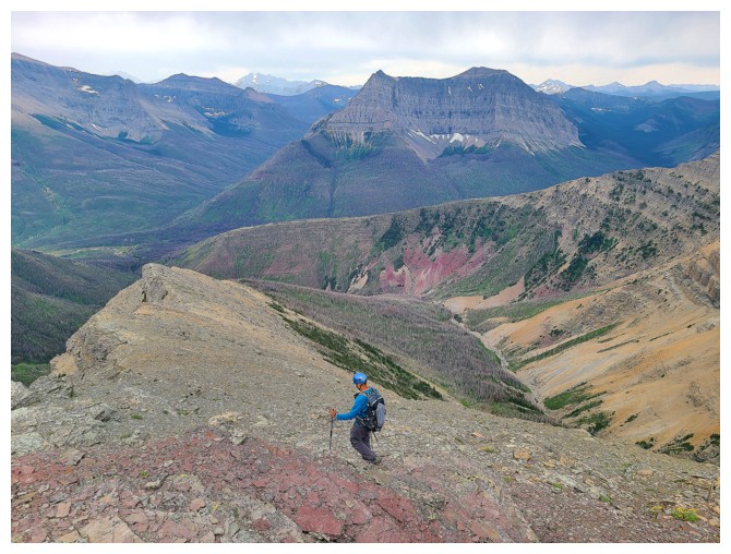
Descending the south ridge (photo by Dave)
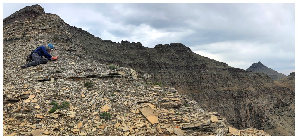
What's Dave doing?
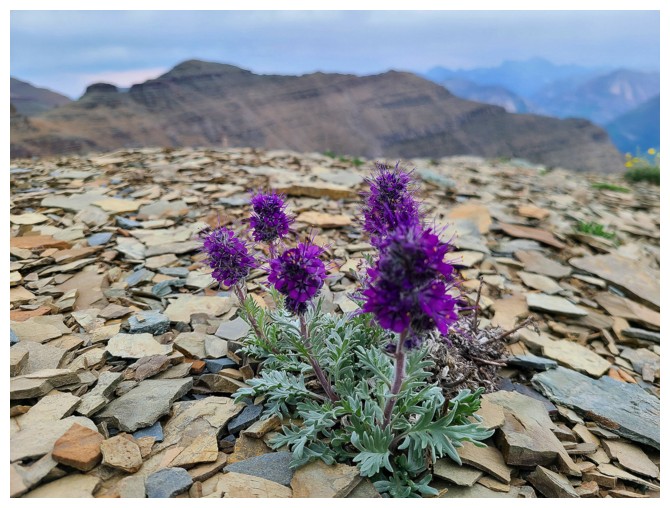
...photographing these silky phacelia (photo by Dave)
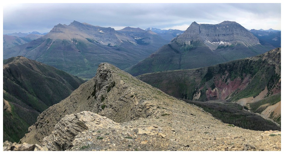
The south ridge is an easy affair, but with great views
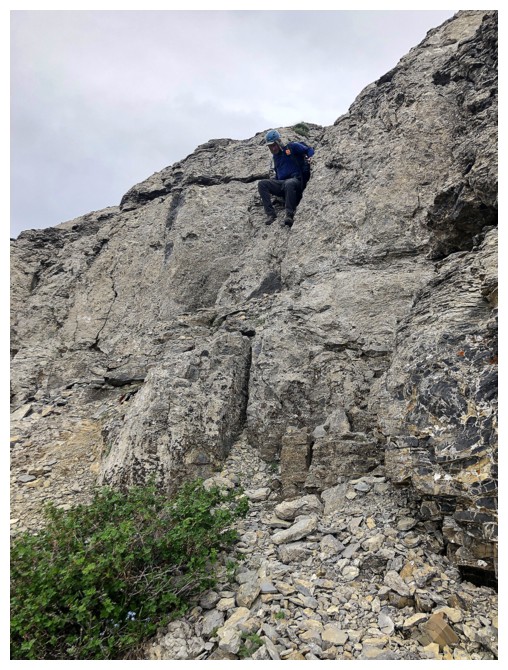
One of very few sections of scrambling
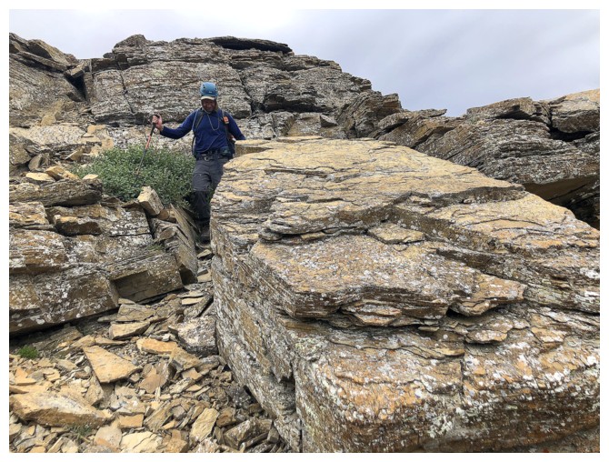
Other than that it's easy hiking through interesting terrain
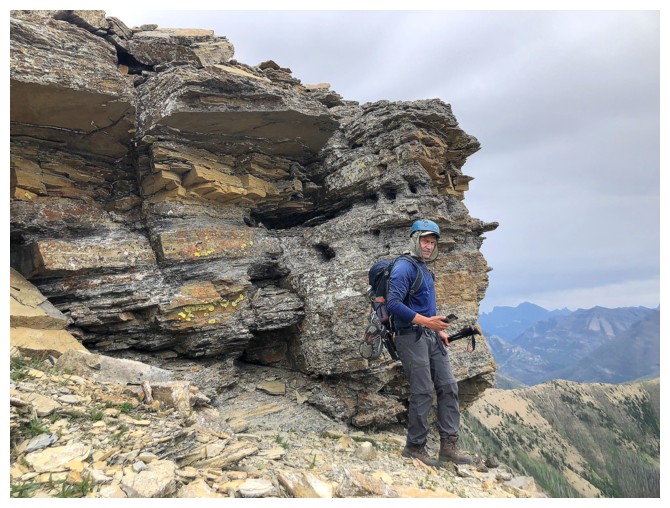
Same as above
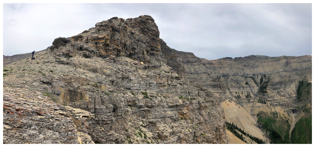
The east side of the ridge is very impressive
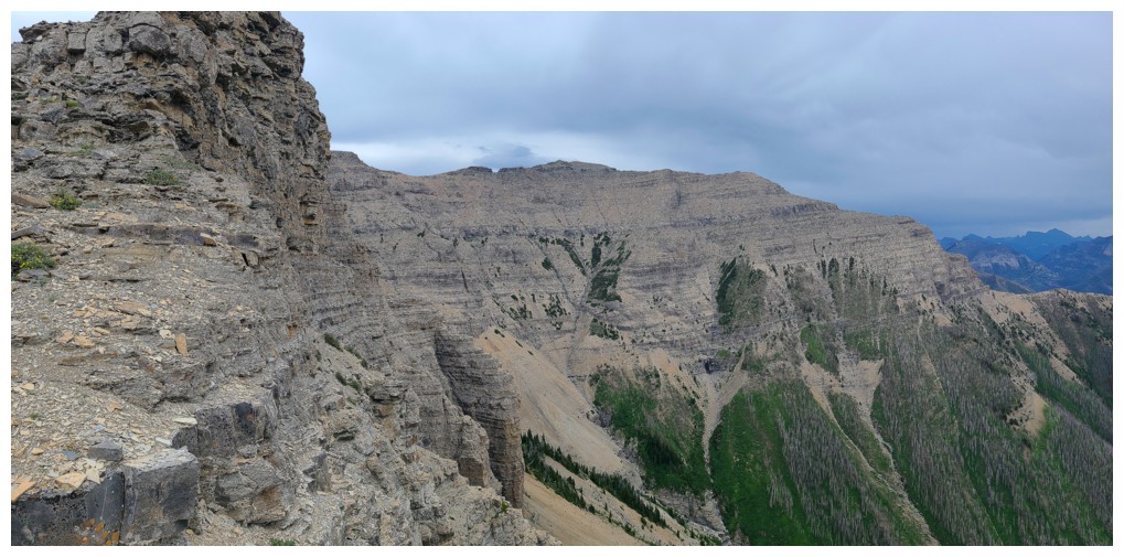
There's Dundy (photo by Dave)
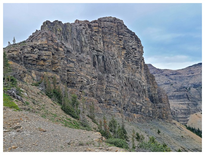
As stated, impressive! (photo by Dave)
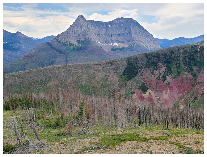
Anderson and a very distinctive splotch of red argillite I would to get a closer look at someday (photo by Dave)
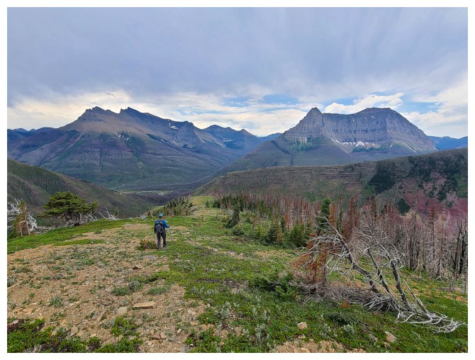
The grade of the ridge eases considerably for a stretch (photo by Dave)
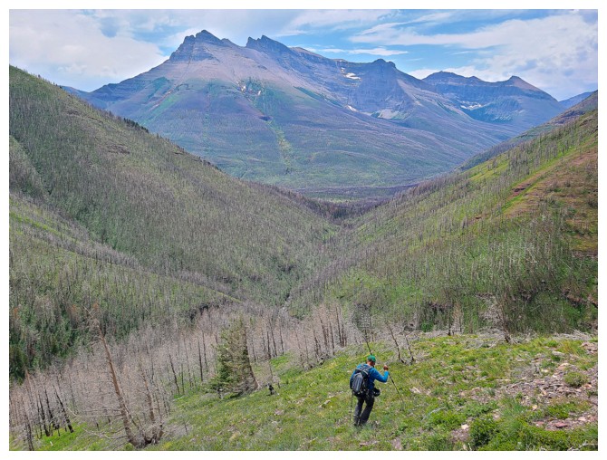
Then steepens again (photo by Dave)
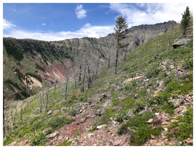
To the west sits the ascent ridge for Cloudowan
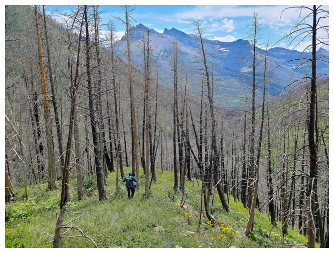
Another steep slope leads to Red Rock Canyon (photo by Dave)
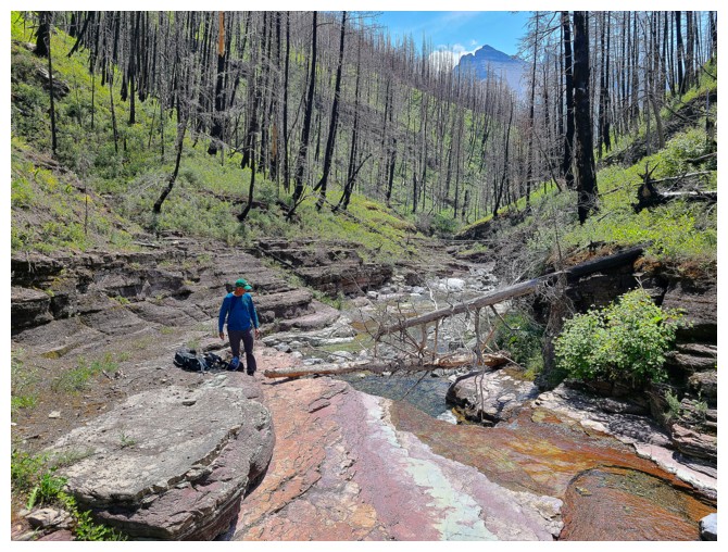
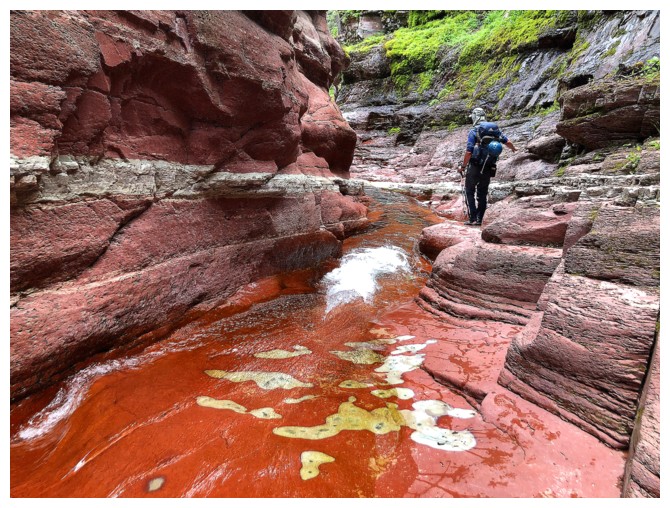
The start of the magical journey down Red Rock Canyon. No further captions needed (photo by Dave).
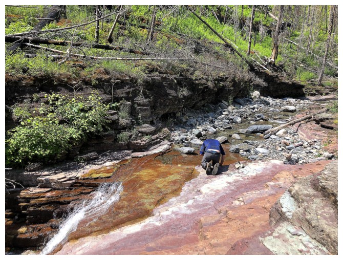
Except this one. Dave cooling off in the creek.
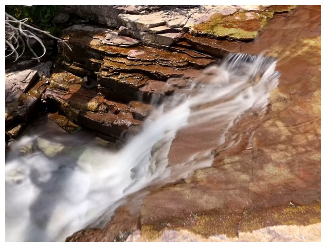
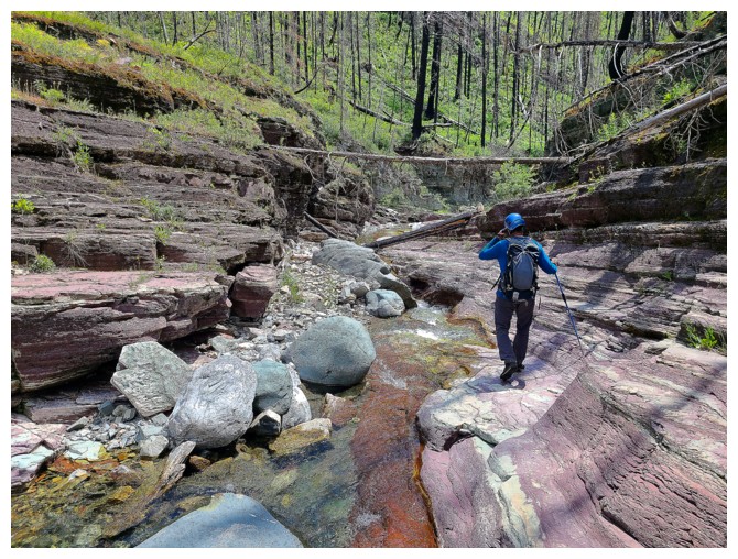
Photo by Dave
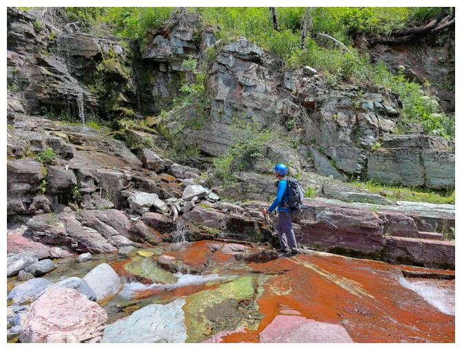
Photo by Dave
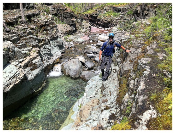
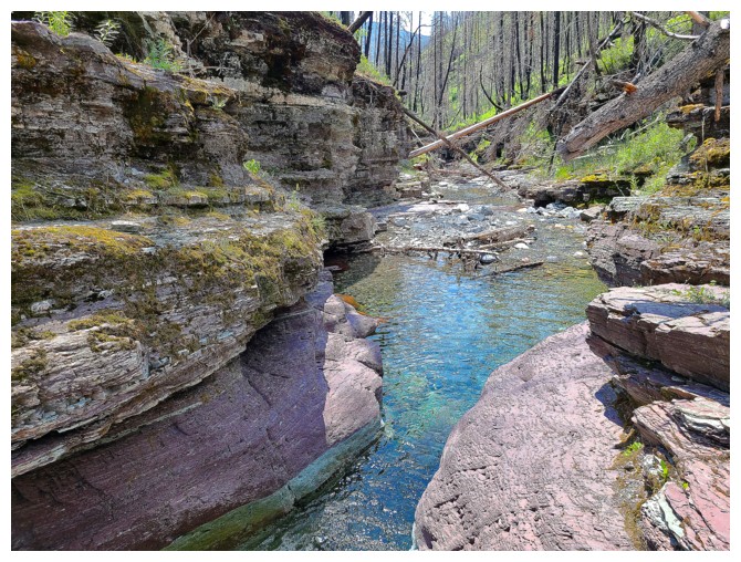
Photo by Dave
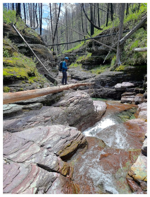
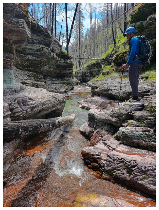
Photos by Dave
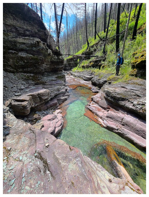
Photo by Dave
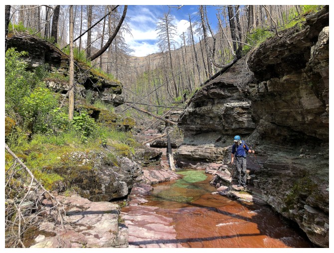
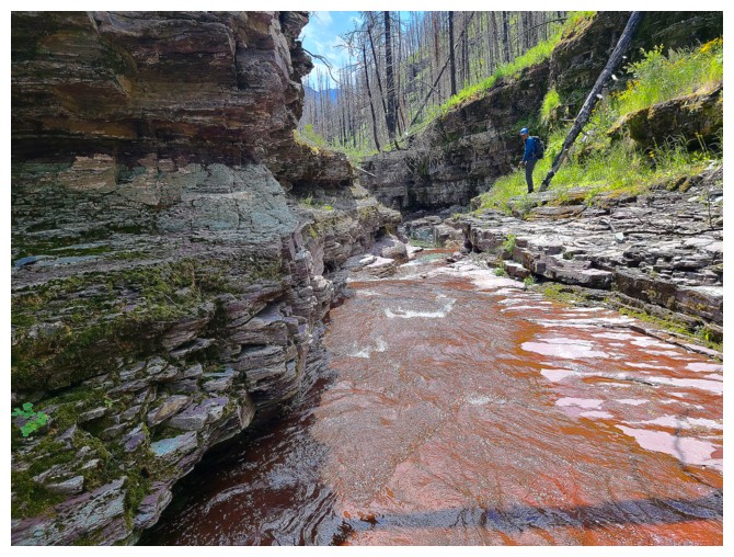
Photo by Dave
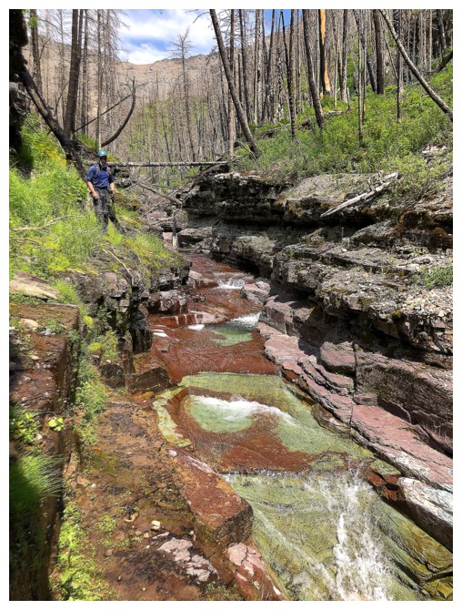
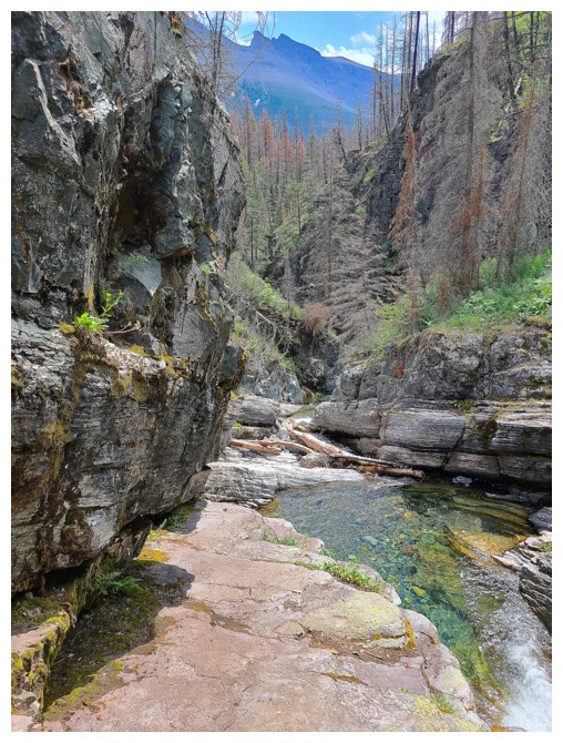
Right photo by Dave
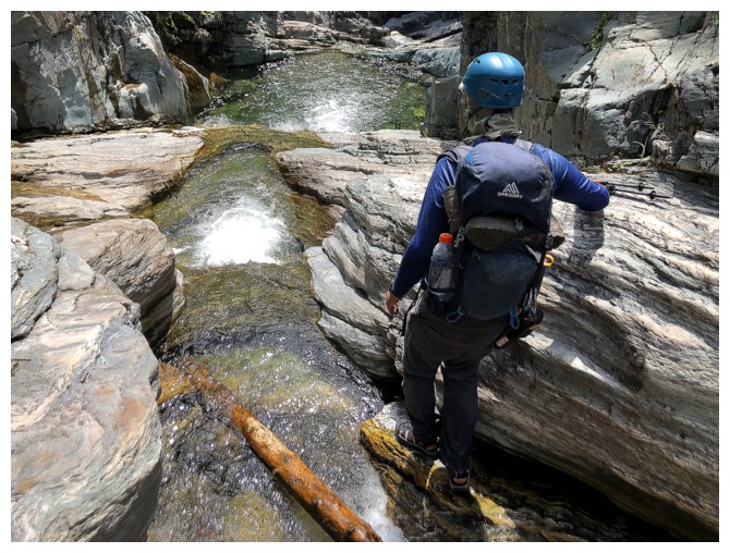
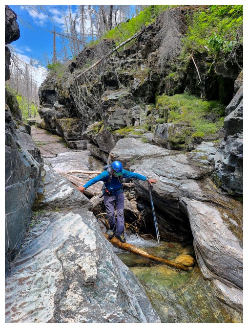
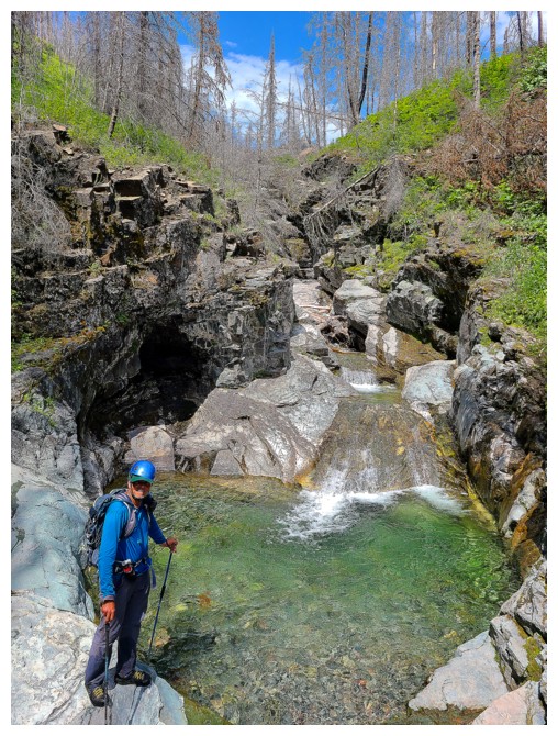
Photos by Dave
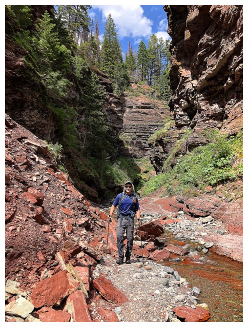
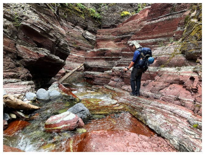
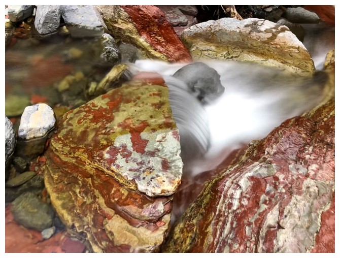
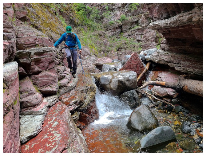
Photo by Dave
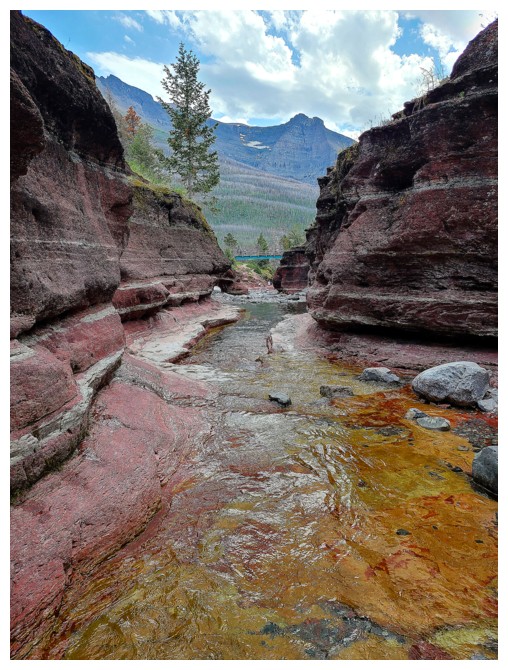
The bridge across Red Rock Canyon signifies the endpoint of the trip (photo by Dave)
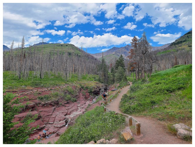
The end of 9 hours of total awesomeness!! (photo by Dave)
The End
LOG
