Lakeview Ridge VI
May 18, 2024
Mountain height: 1945 m
Elevation gain: approximately
1000 m
Ascent time: 2:50
Descent time: 1:55
Solo scramble.
Another classic
May Long Weekend forecast: potential for rain, snow, sleet, thunderstorms,
plummeting temperatures, dogs and cats living together, and general apocalyptic
malaise. What to do?
Fortunately,
the weekend did have one bright spot and that would be a brief period of clear
skies on Saturday morning. As such, I set off to do a relatively short, front
range route. With the road to The Horseshoe Basin Trail now open a repeat trip
up the south side of Lakeview Ridge became the objective. I, more or less,
wanted to retrace our steps from a wonderful winter ascent in 2017 and then try
a new route down, making it into a loop route.
The route up went
without any huge surprises, the decent route turned out to be a good one, and
the weather held for the most part. When
it did breakdown, the results were more entertaining than disappointing.
Good trip!
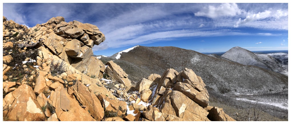
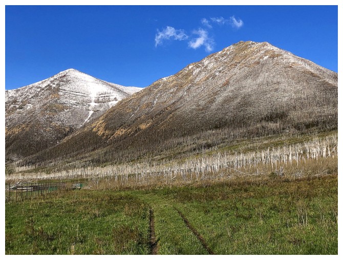
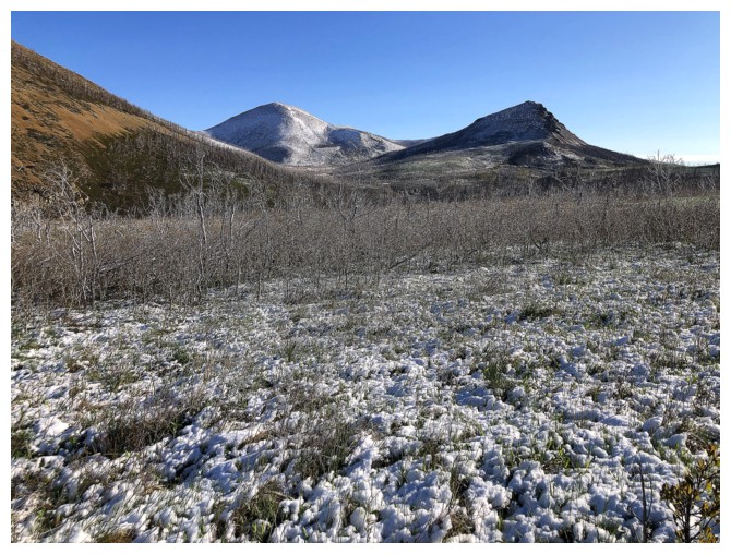
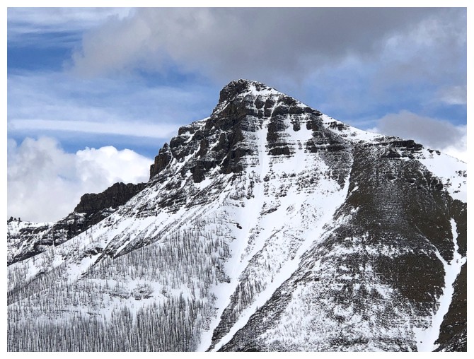
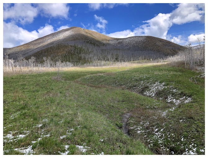
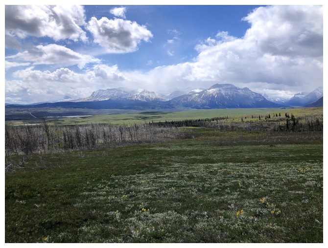
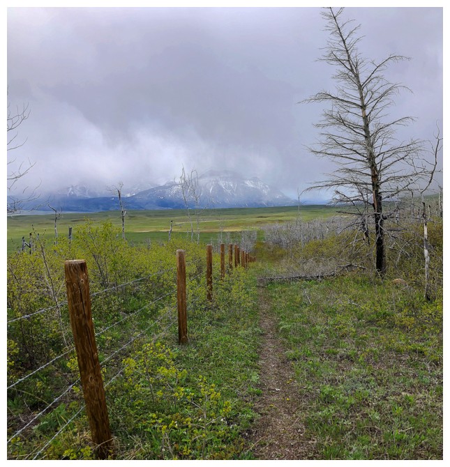
Things are looking good at the start. The summit of Lakeview Ridge is the snowy peak, right of centre.
Two of the highpoints of Bellevue Hill
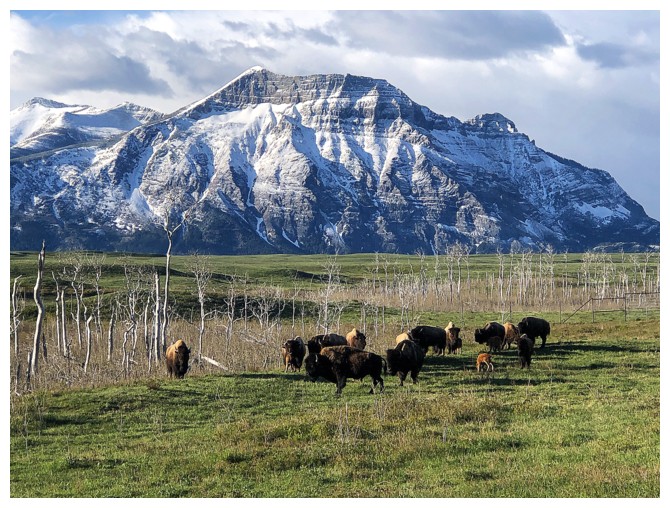
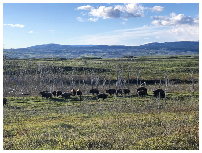
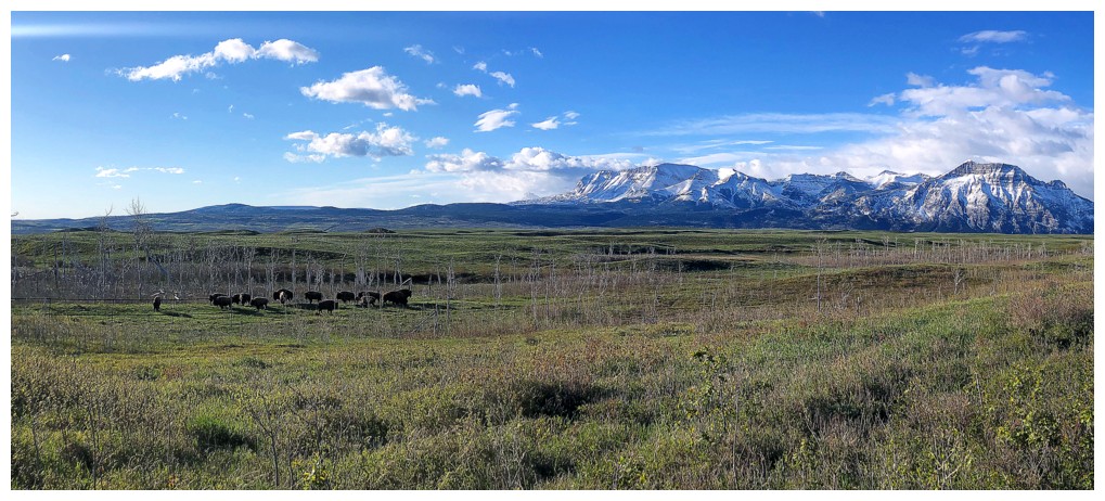
Bison and Vimy Peak
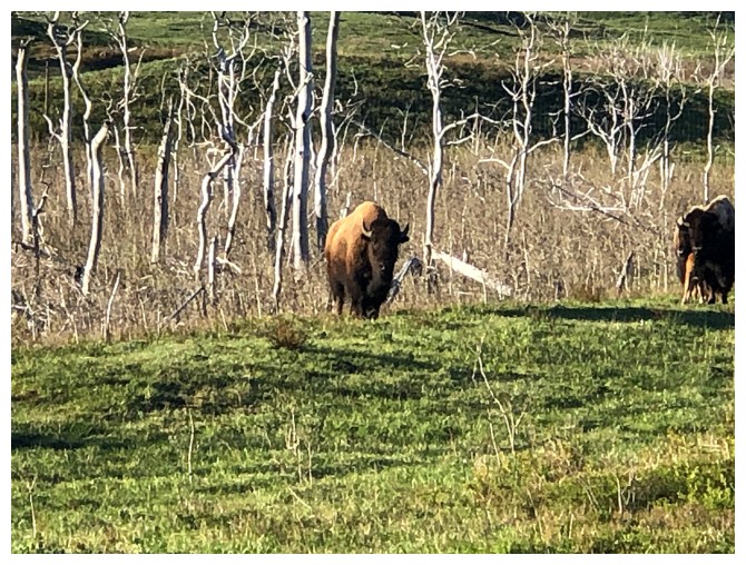
This one kept a close eye on me. Thankfully there's 2 metre-high fence between us!
Same as above
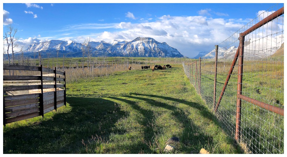
There's the fence
Bye, Bye Bison!
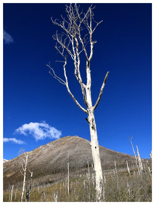
Hello Tall Tree!
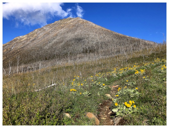
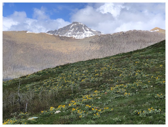
Early season flowers
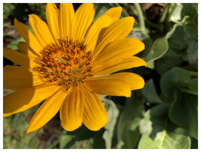
Close-up
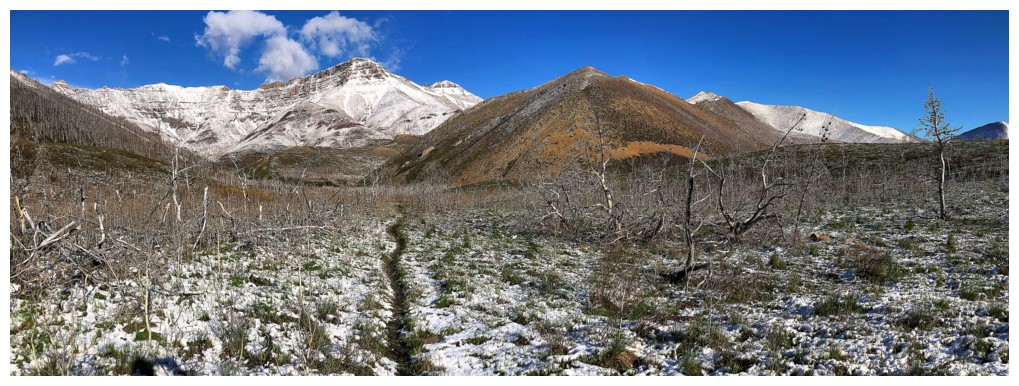
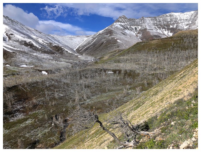
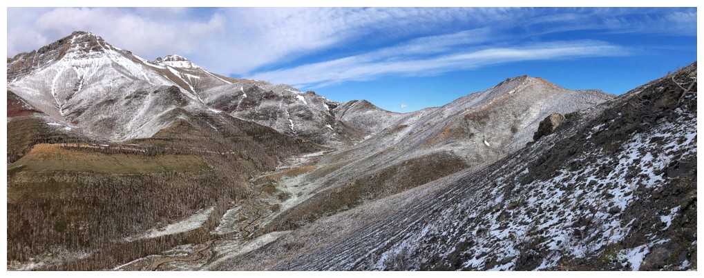
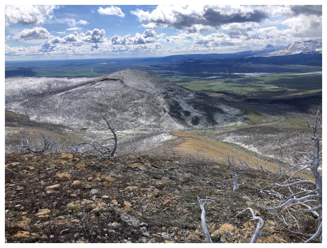
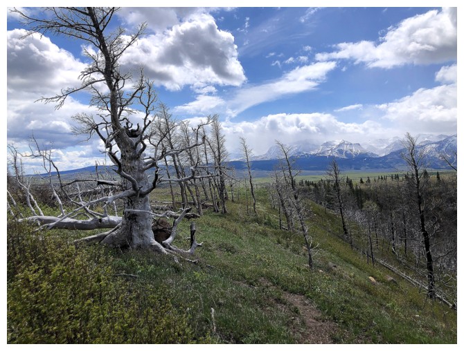
Approaching a highpoint, before dropping down into the Horseshoe Basin valley
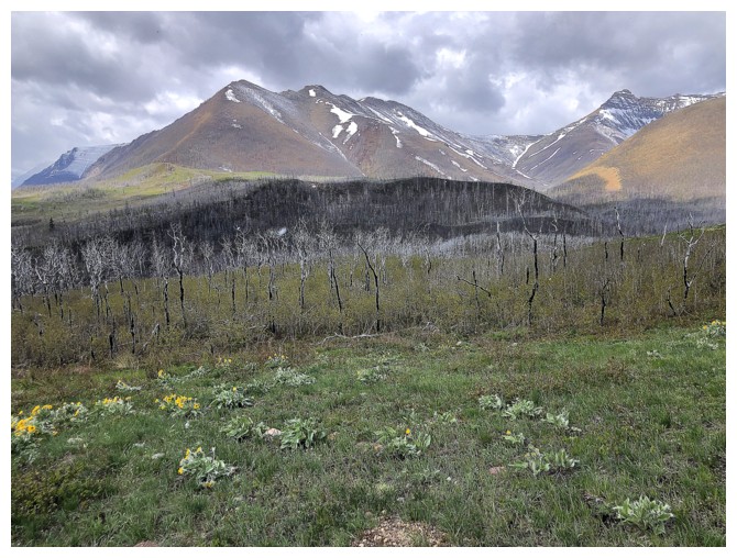
Looking up the northeast side of Bellevue Hill - a good shoulder season route
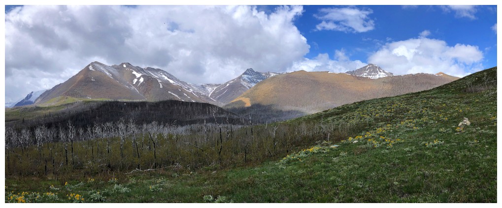
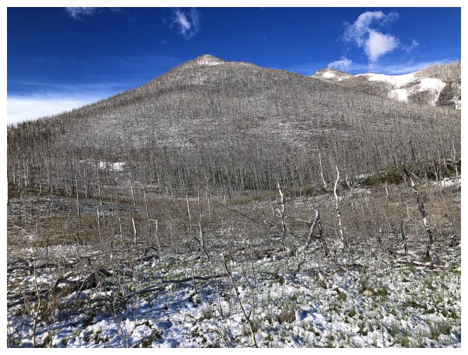
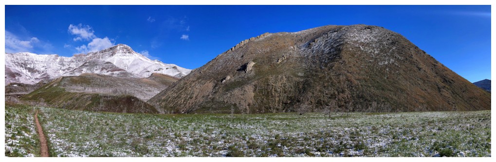
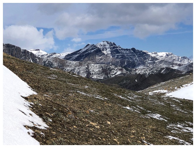
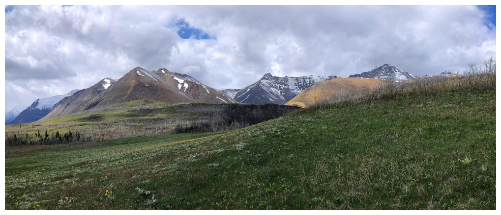
Rogan Peak (centre) and the south side of Lakeview Ridge
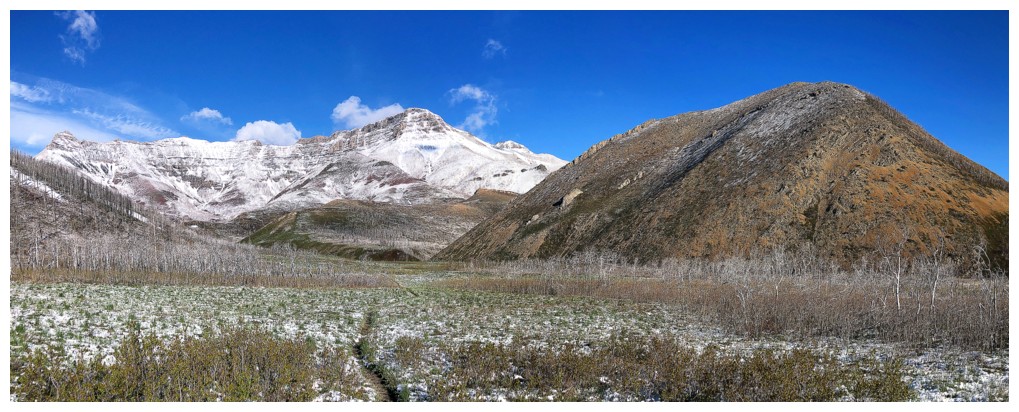
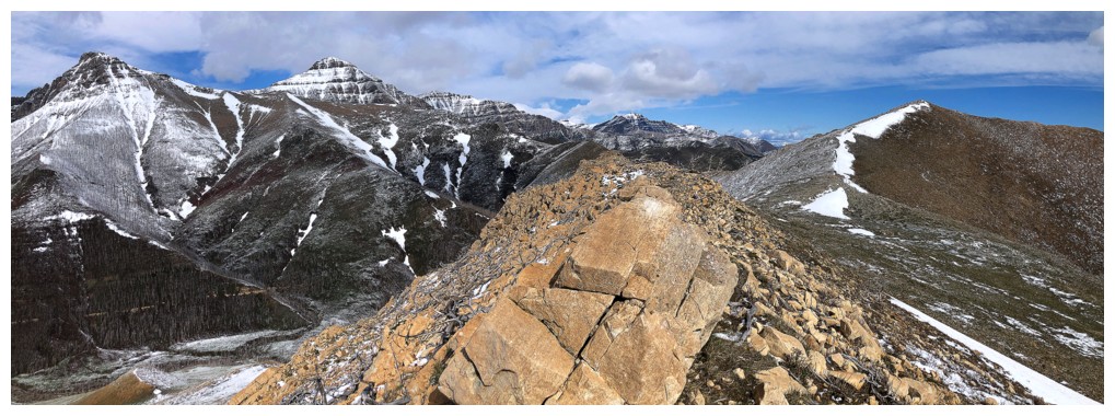
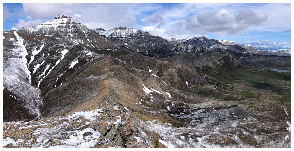
Two of the other summits that make up the Lakeview Ridge Horseshoe route
Galwey, Galwey North, and Rogan
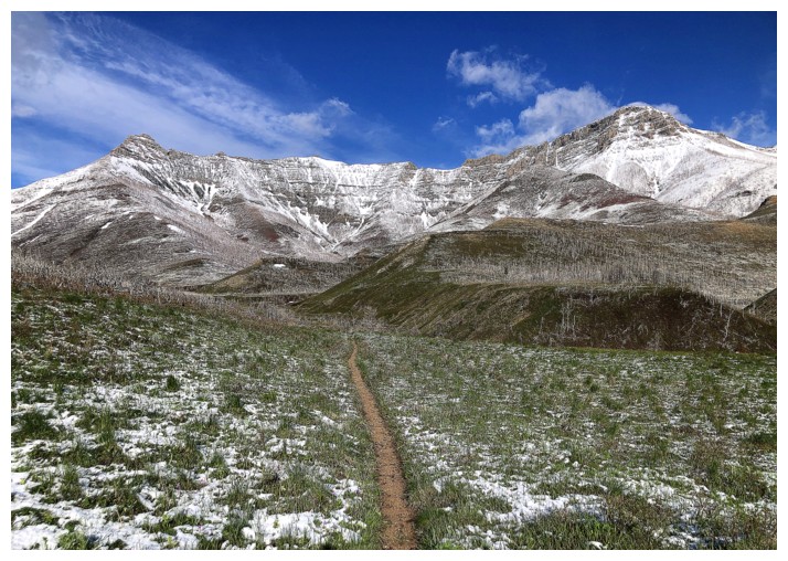
Losing a little elevation
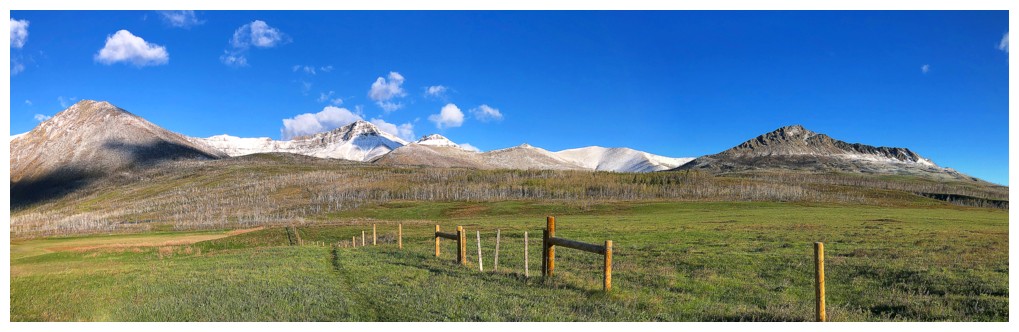
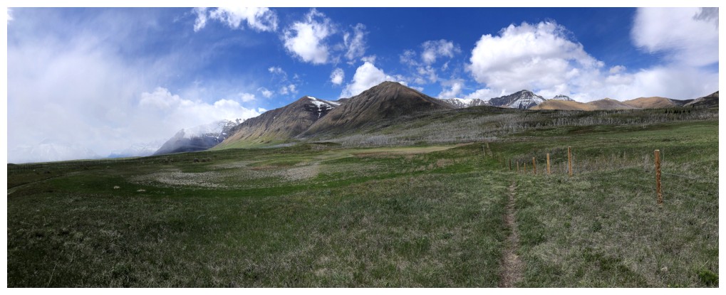
The route I intend to go up
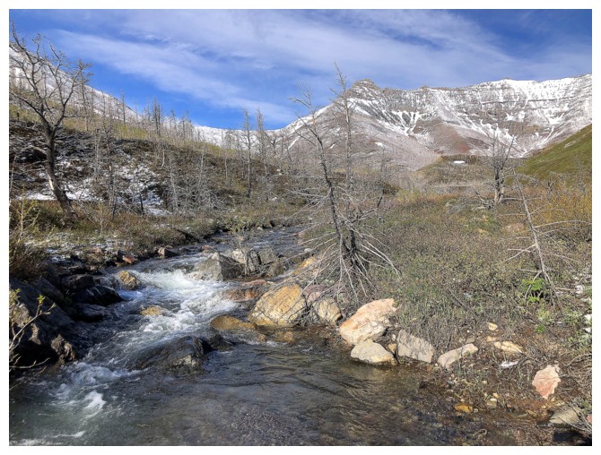
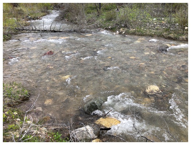
Crossing Galwey Brook, without getting my feet wet, was a bit of a challenge

Making my way over to the ascent slopes. I aimed for the random rock outcrops at the left.
Another stream, but this one was easy to cross
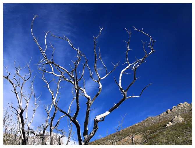
A very devilish-looking tree
Looking over at Galwey while tramping up the lower slopes
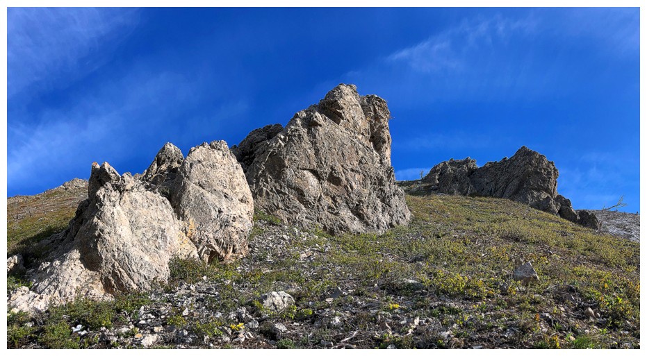
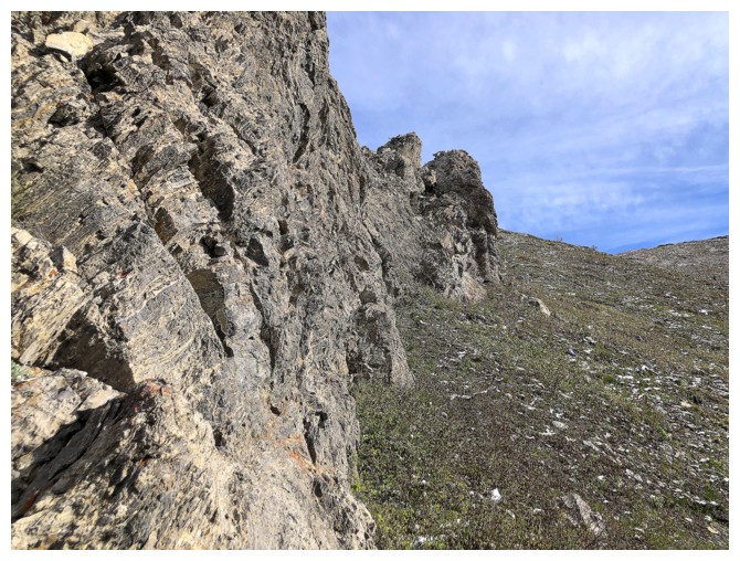
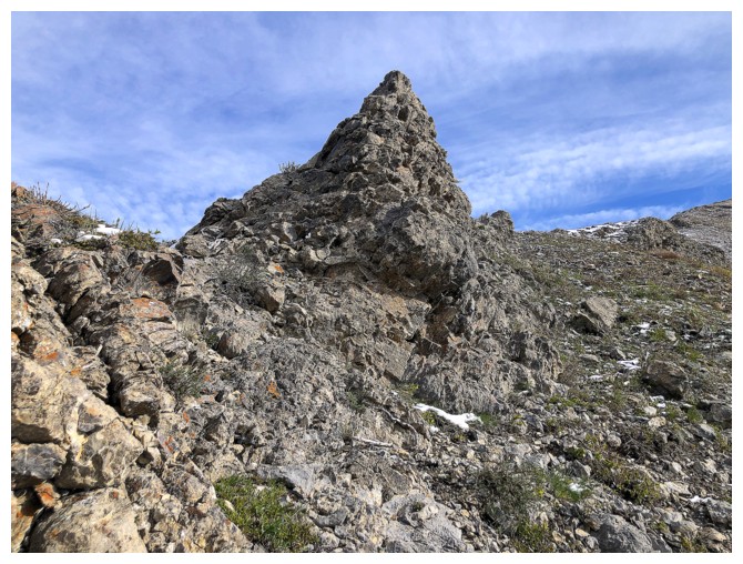
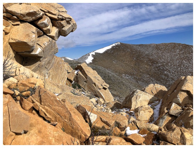
The first outcrop
Same as above
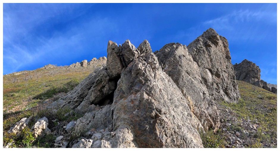
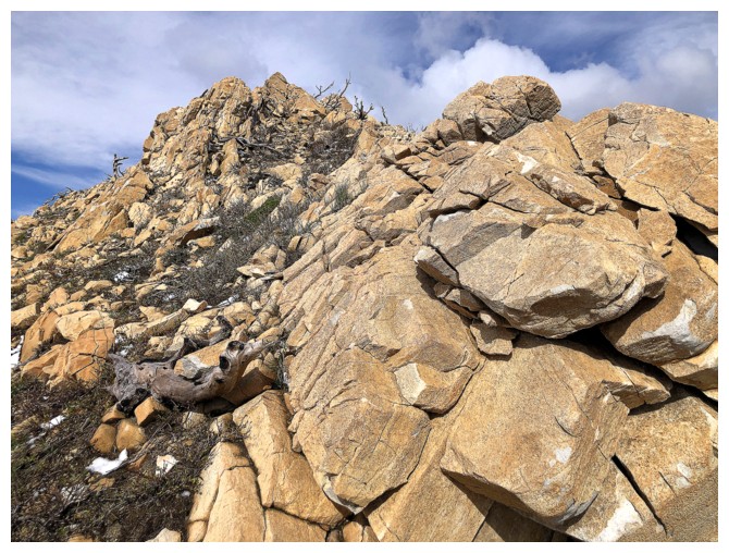
Heading for the second
Following the base of the second to the ridge above
It's K2!!
It's Bellevue Hill!!
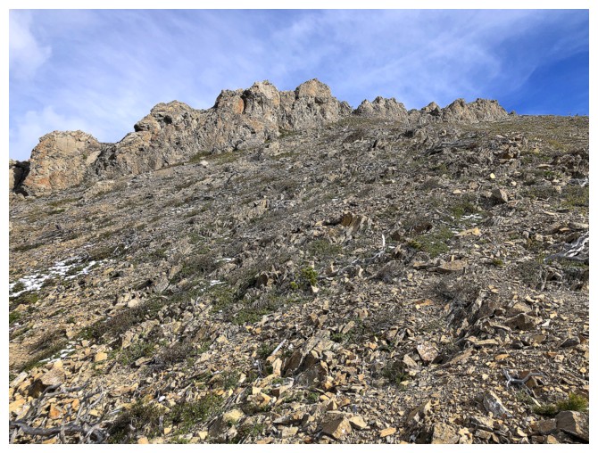
Still slogging upslope
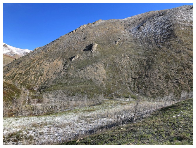
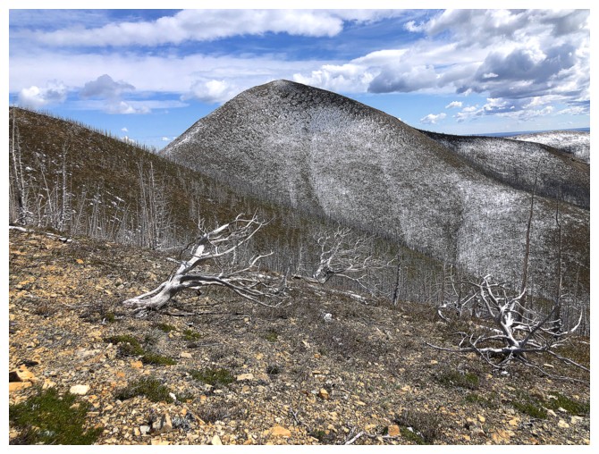
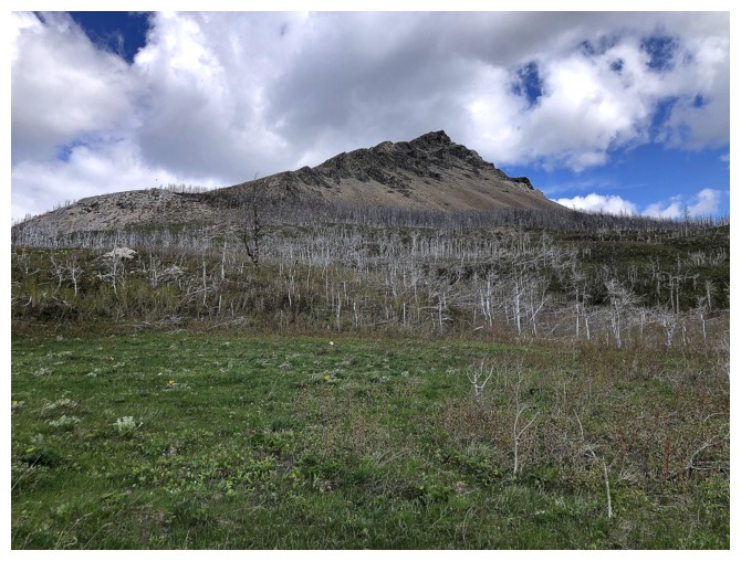
The northeast side of Bellevue Hill has many potential routes
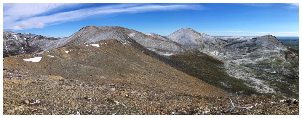
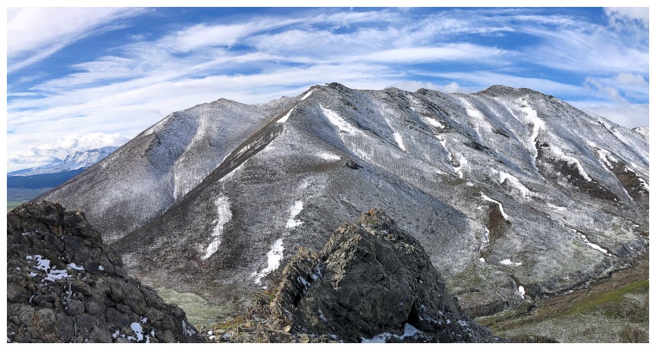
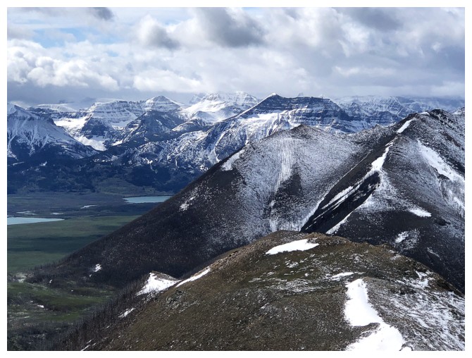
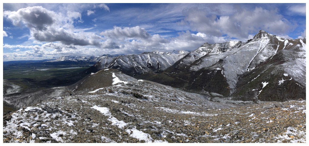
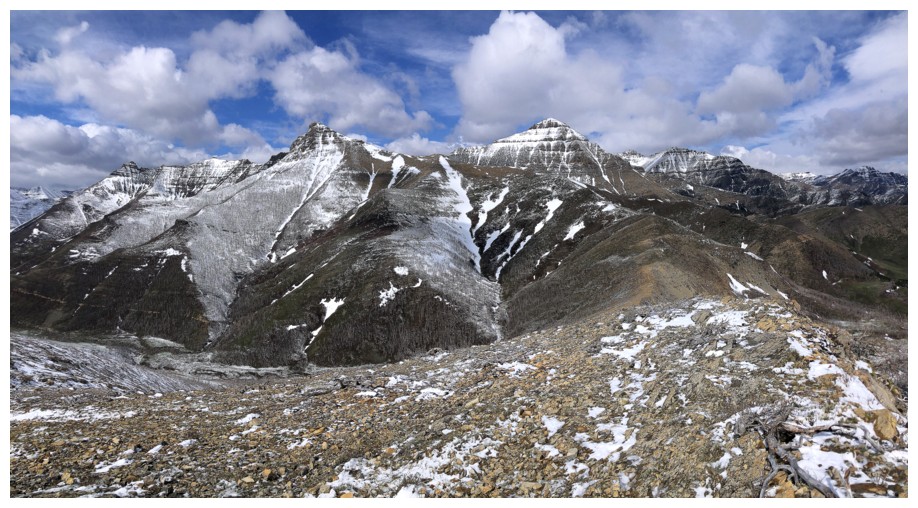
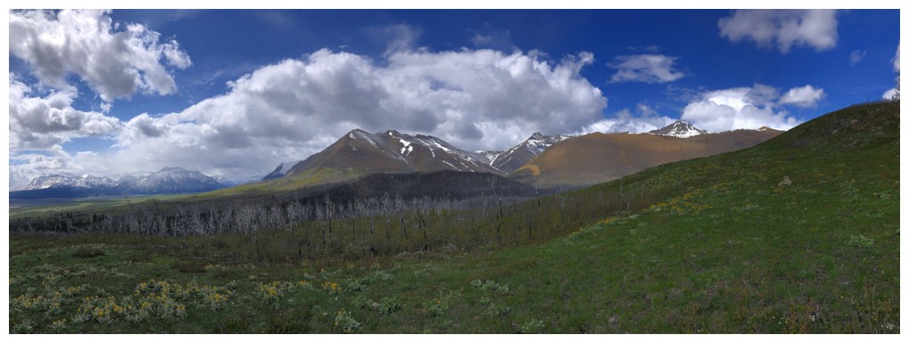
On the ridge with most of the Horseshoe route visible
Those other two summits again
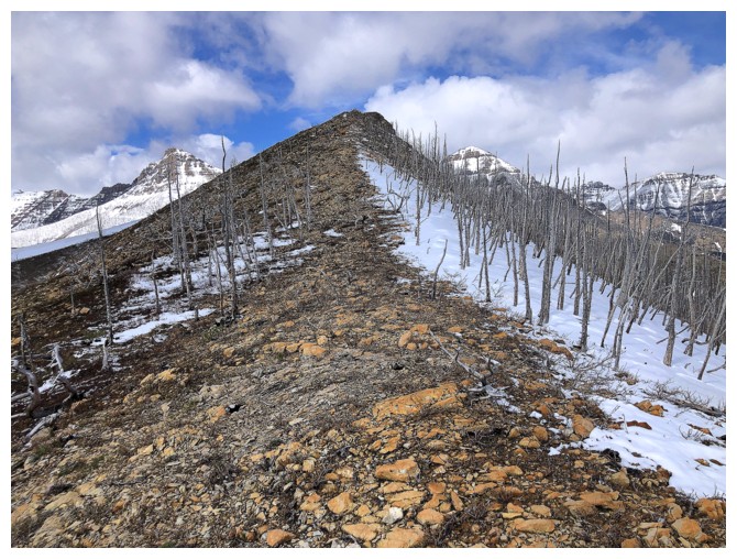
Easy travel, but the ridge is longer than expected
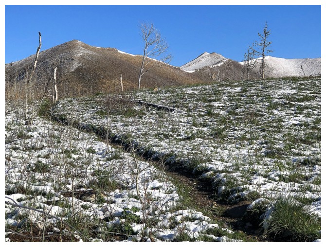
Not much snow remaining on the mountain so I had better photograph the tenacious stuff that's defying Spring!
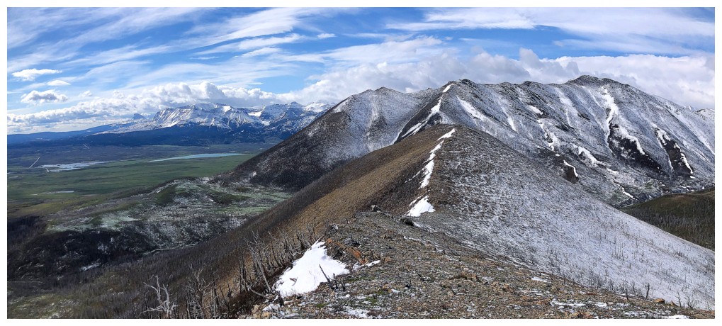
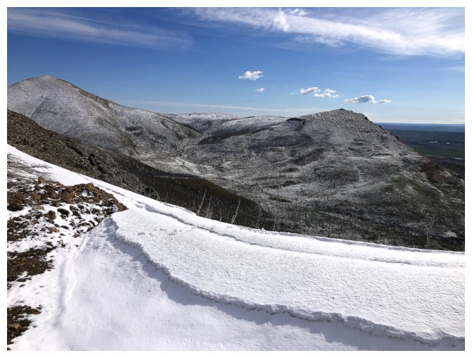
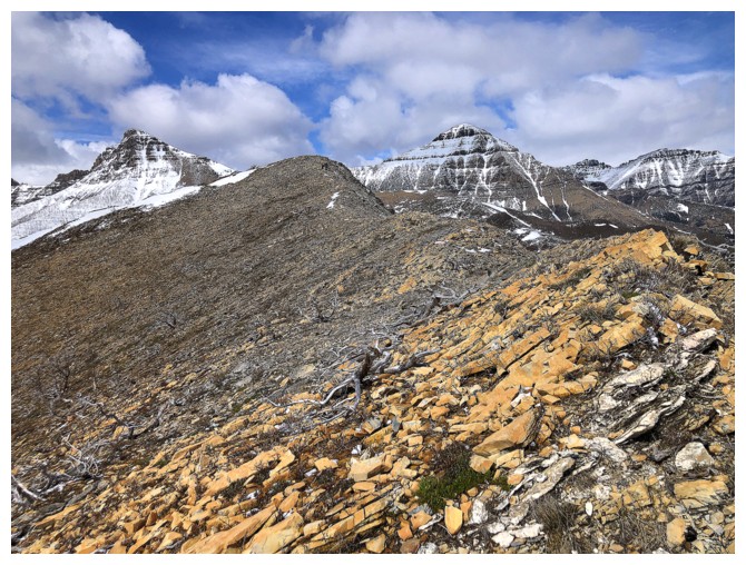
Looking back along the ridge
Looking forward
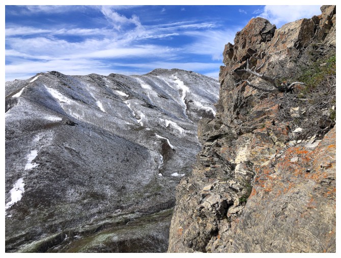
Pleasant run-in with a band of colourful rock. To see the really good stuff, though, you need to visit the east side of the Horseshoe.
Same as above
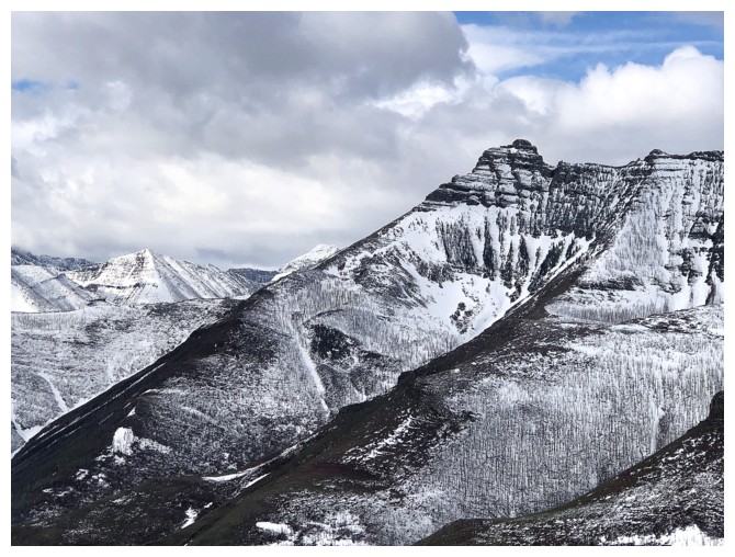
Mounts Yarrow and Roche (Spread Eagle Mountain)
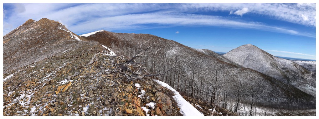
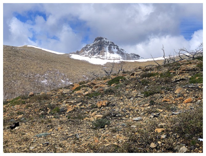
There's the summit at the right
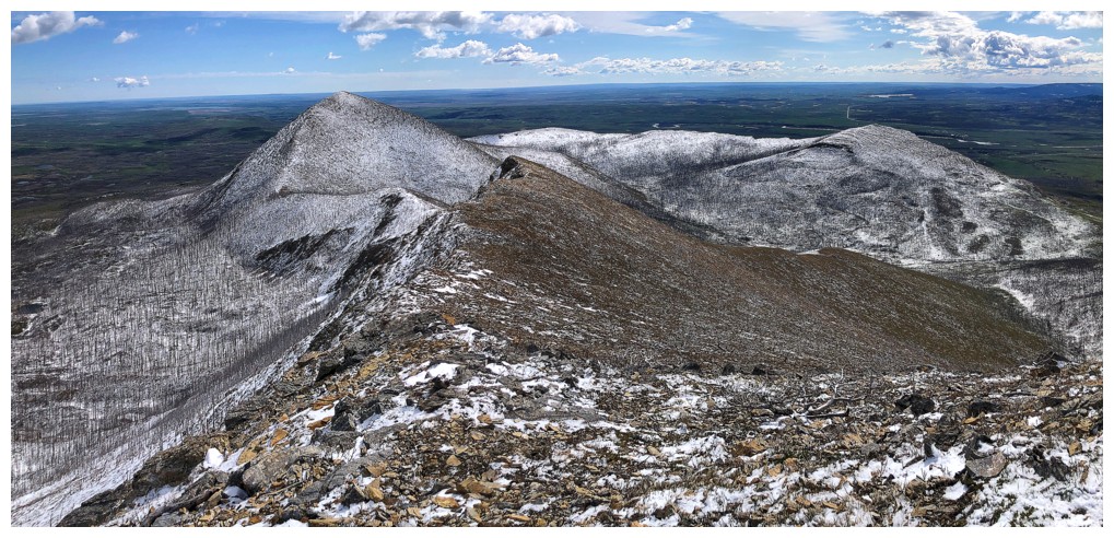
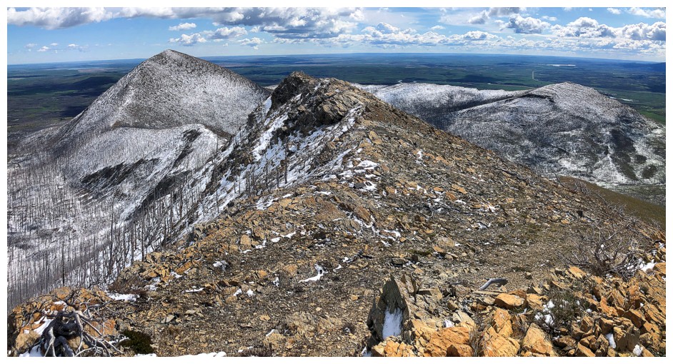
At the top, looking at the remainder of the Horseshoe route
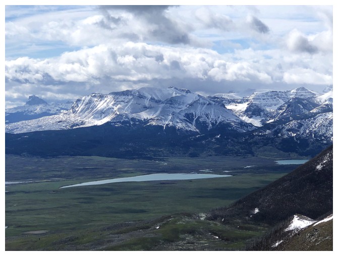
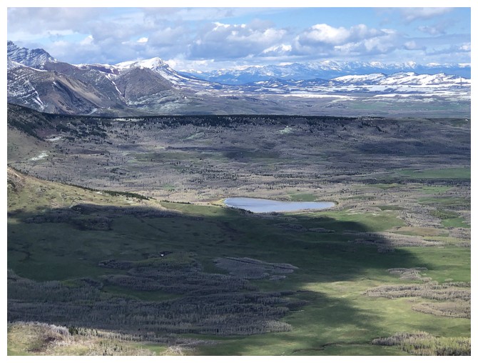
The Lower Waterton Lake and a small part of the Middle Lake are visible
View to the south-southeast
Galwey - I once tried a route up the left skyline but didn't make it
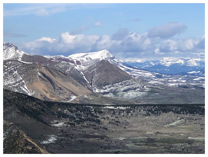
Prairie Bluff
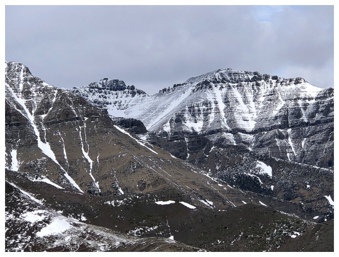
The "Cloudies" - Ridge (left) and Junior (right)
Rogan Peak (aka Dungarvan SE2, The Horn, Dunwey Peak)
View to the northwest
View to the south
View to the east
View to the west
Heading down a new alternate descent route
The goal is to follow the ridge east for a short distance and then turn southeast, eventually rejoining Galwey Brook
Kesler Lake. The namesake of Kesler Lake Peak.
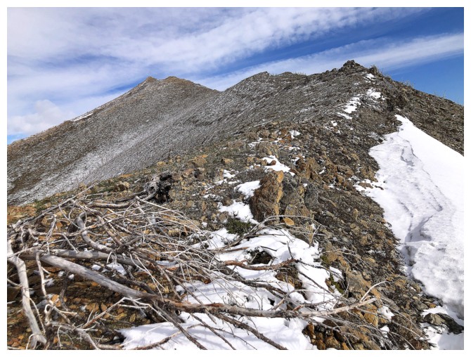
Looking back to the summit
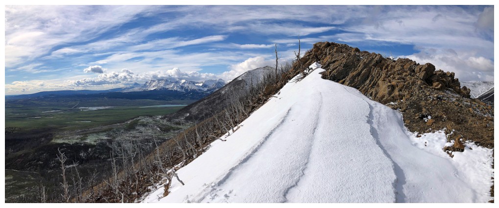
Heading down the southeast ridge
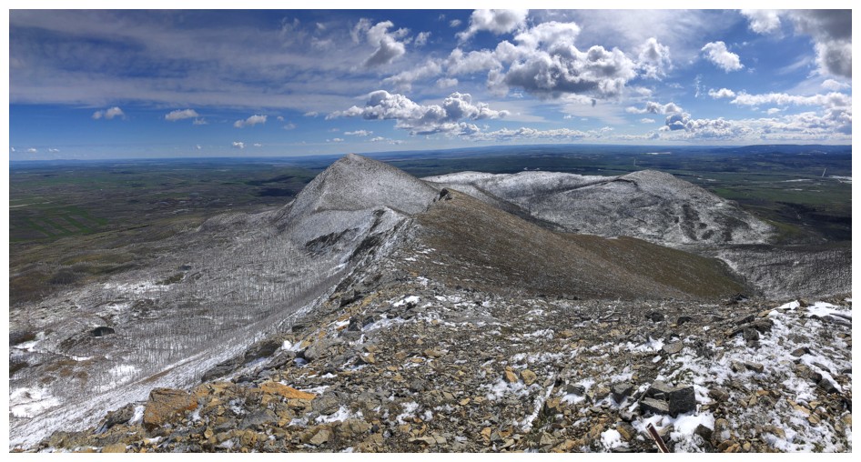
This summit of the Horsehorse route always looks like the highest point but it is actually about 15 metres lower
Last I'll see of Rogan for a while

Very easy travel down to the valley below
The other highpoint again. Lots of snow had melted during the day.
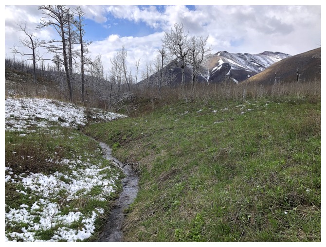
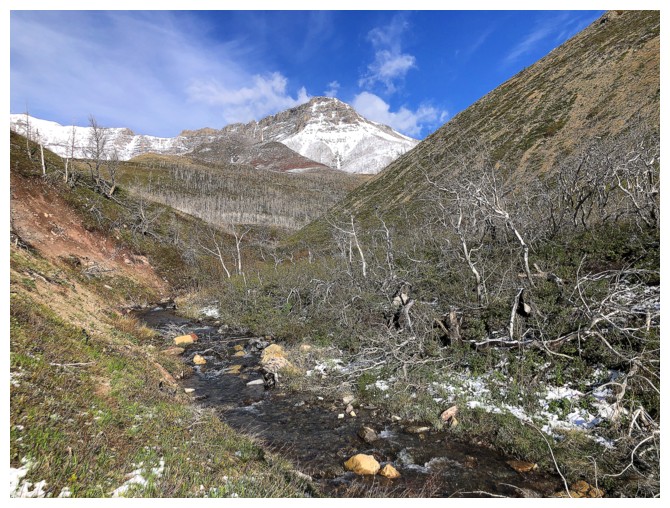
Following a stream that will eventually empty into Galwey Brook
Here comes the real breakdown in the weather
Same as above
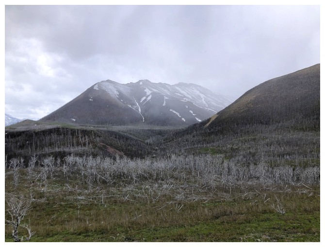
I stand corrected - there's Rogan Peak again. It's a pretty significant
mountain, eclipsing both Galwey and Galwey North in height.
Threatening skies to the west
Nice colour contrasts
The southeastern-most summit of Lakeview Ridge - a worthwhile trip in itself
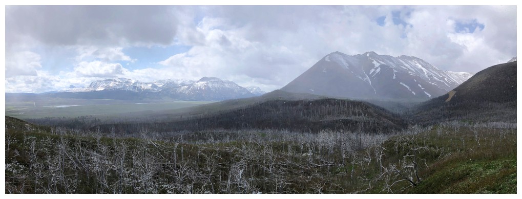
Clouds continue to build to the south
Shocked that I would take so many cloud-filled photos, but I loved the colours!
Hiking on the embankment, high above Galwey Brook
Crossing the brook again. I just ran across with gaiters on and surprisingly didn't get my feet wet at all.
Glad I'm nearing the end, as the weather to the south took a volatile turn at this point
Back at the start
The End
LOG