 Prairie Bluff XIII exploration
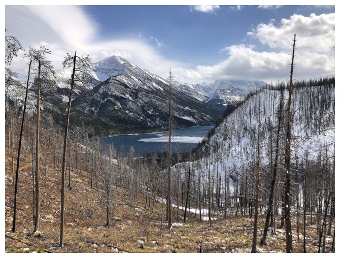
 Bertha Lake attempt
April 9, 2021
Solo snowshoe and scramble.
Hats off to SpotWx for nailing the forecast
for this day. The website said cloudy until 3 pm and then clear and that’s
exactly what happened. Unfortunately, they also nailed the high winds part,
with gusts around 80 km/h!
 With a ridiculously late start time of 1 pm
the goal was simply to hike/snowshoe up to Bertha Lake, hoping for clear
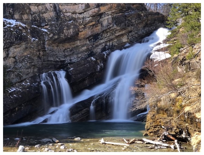
weather by the time I arrived at the lake. The hike to Lower Bertha Falls went
without a hitch and I passed several people returning from the falls. Above the
Lower Falls, the trail was unbroken but quite manageable with snowshoes.
With a ridiculously late start time of 1 pm
the goal was simply to hike/snowshoe up to Bertha Lake, hoping for clear
weather by the time I arrived at the lake. The hike to Lower Bertha Falls went
without a hitch and I passed several people returning from the falls. Above the
Lower Falls, the trail was unbroken but quite manageable with snowshoes.
Then I ran into a fresh set of bear tracks.
The size of the tracks made me nervous. Obviously, this was a relatively small
bear and although there were no signs of the mother’s tracks (if in fact the
offspring was still hanging out with mum), I didn’t want to find out firsthand.
I turned around immediately.
Back at the car, the weather, as predicted,
had dramatically improved (except the wind!). Not wanting to waste the rest of
the day I turned my attention to “old reliable” – Prairie Bluff. After Prairie
Bluff XI I had vowed to return to explore the west side of the yellow
lichen-covered band of igneous rock, a route requiring a late day start so that
the Sun is in the western skies. A summit bid would very much depend on the
severity of the wind.
The exploration was fantastic; so was the
wind! After taking in about as much yellow lichen-covered rock any person could
handle I worked my way up to the ridge. To my utter surprise there was not a
hint of wind upon reaching it. That was for about 15 seconds! A sudden gust
knocked me off my feet and ripped my sunglasses off my face. They went sailing
across and down the mountain, never to be seen again, and after picking myself
up, I went immediately down the other side – summit bid over!
Once out of the wind I was able to enjoy a
little more exploration and an easy descent. En route, a particularly striking
rock band of yellow lichen-covered red argillite on the other side of the valley caught my attention. Checking
out this rock band would require an early start, with the Sun in the east and
also later in the season – definitely a future trip.
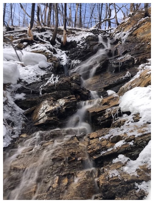
A snow-melt stream along the Bertha Lake Trail
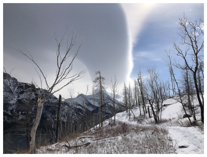
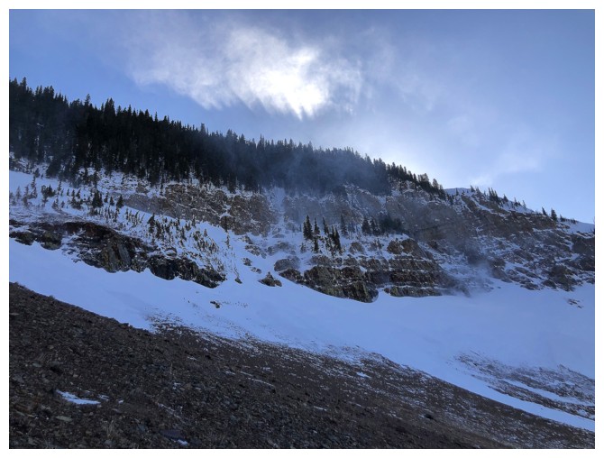
Right on schedule, the clouds start to clear to the west
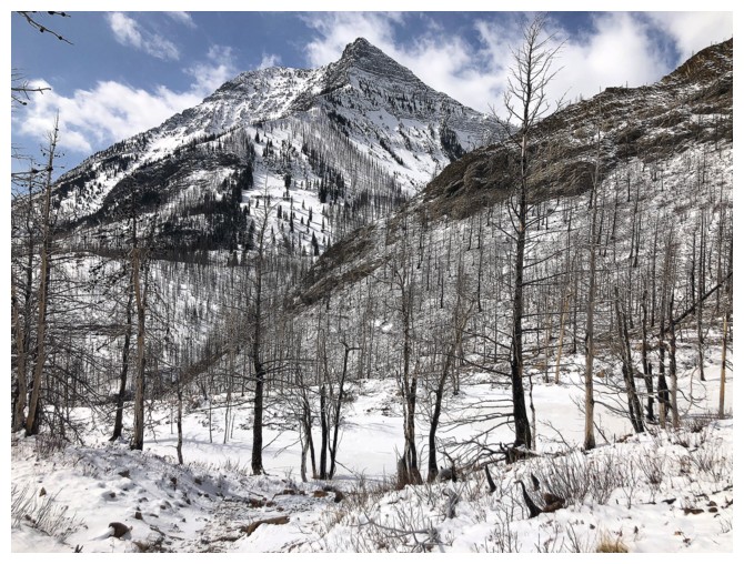
Mount Richards. The very challenging north ridge route gains the highpoint seen here, and then traverses south to the summit. However, easier routes are equally enjoyable: Richards II, Richards III.
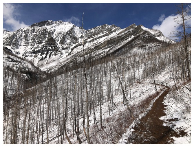
Bertha Peak at the left - great Kane scramble, but once again there are many ways to get to the summit: Bertha I, Bertha III
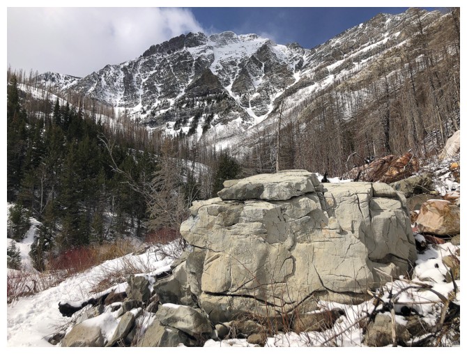
Bertha and a BIG rock
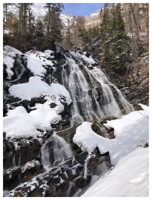
Lower Bertha Falls
The north summit of Mount Richards
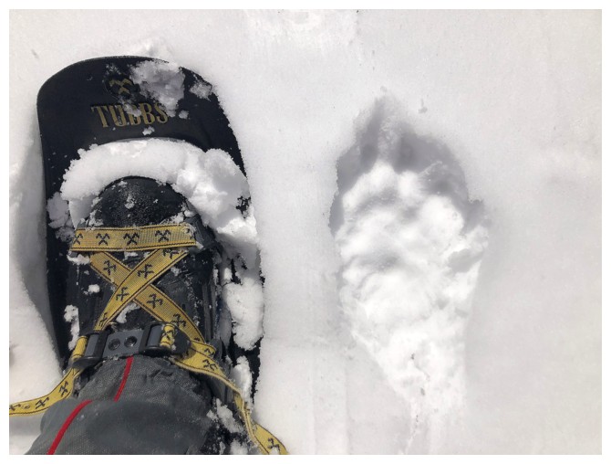
My foot and snowshoe and a bear footprint. Time to leave the area!
Not completely clear yet, but the clouds over Mount Boswell were very interesting
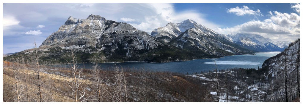
Vimy Peak, Mount Boswell, and Upper Waterton Lake
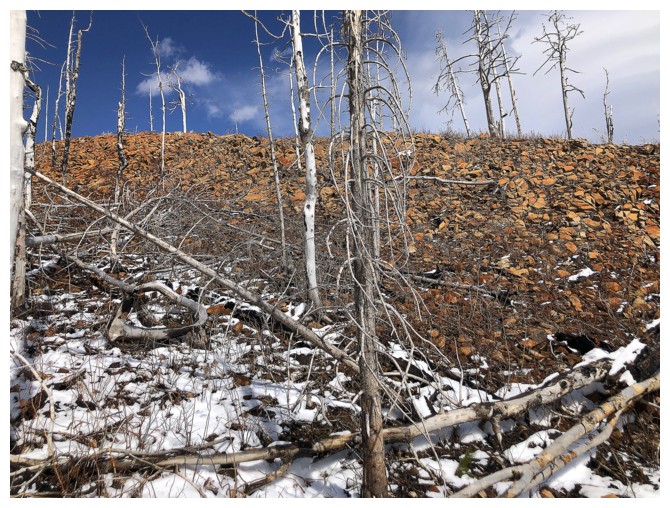
There is a fair amount of colourful rock along the Bertha Lake Trail that was not visible before the Kenow fire
The rock and fantastic Mount Crandell
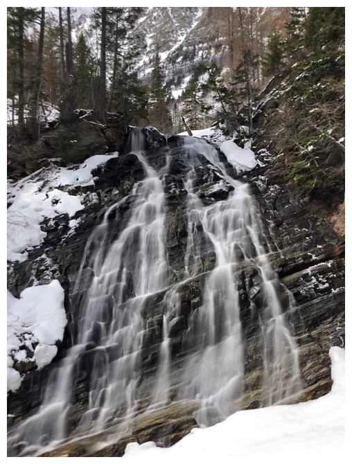
Obligatory photo of Cameron Falls
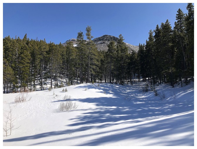
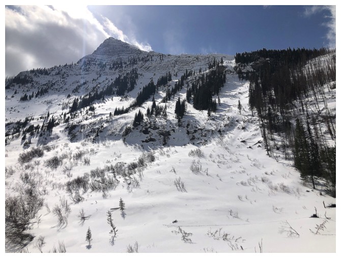
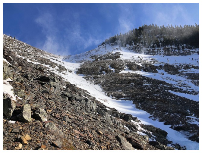
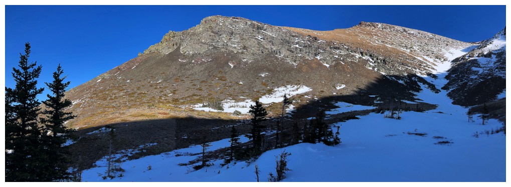
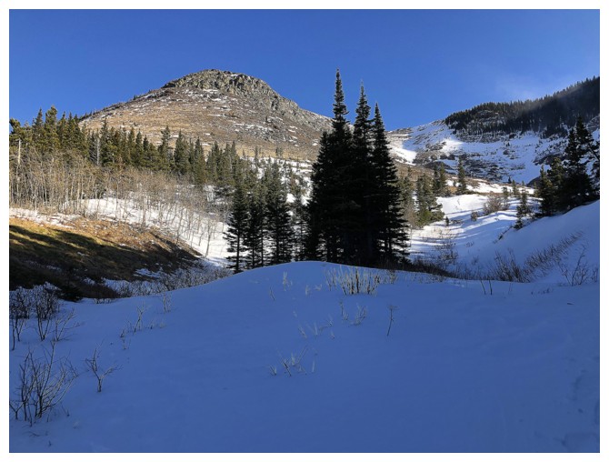
Once again, hiking up one of many drainages on the north side of
Prairie Bluff. This route has unexpectedly become one of my favourite
in all the Rockies (short, scenic, and easy, with minimal elevation
gain).
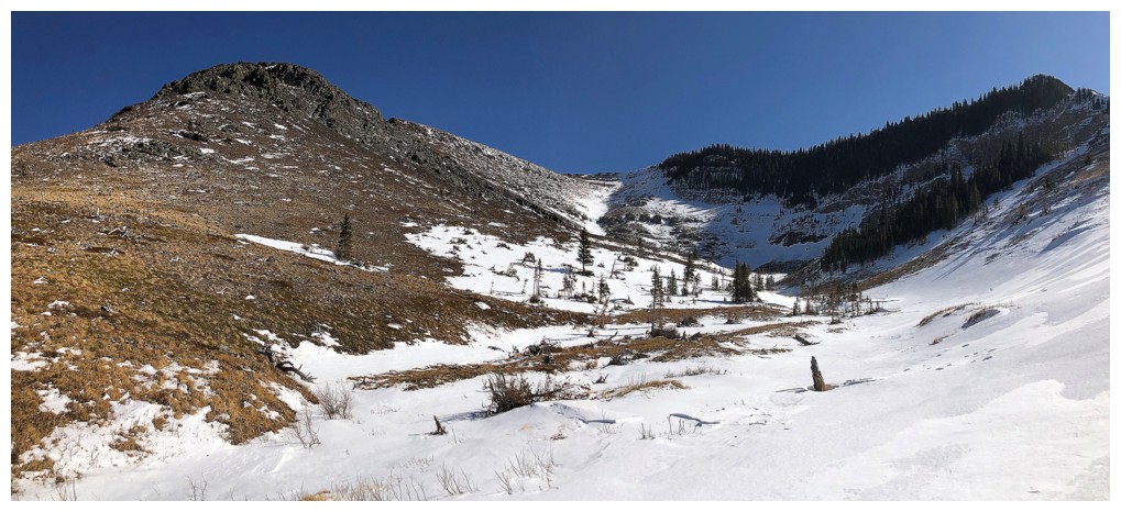
15 minutes into the trip, the routes are revealed: left is great for trips late in the day, right for early in the day.
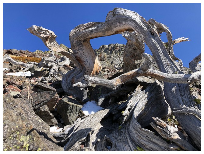
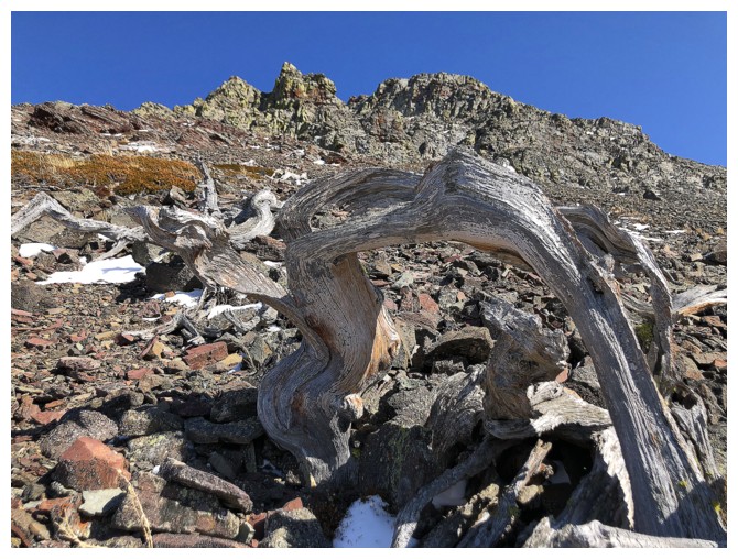
Mandatory twisted, dead tree photo
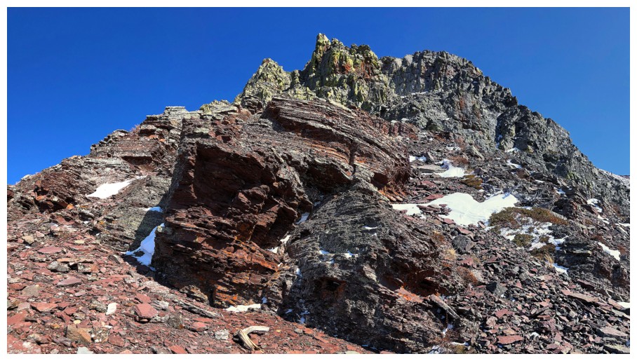
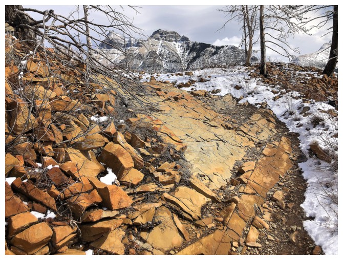
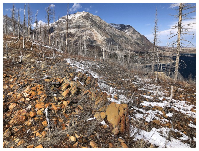
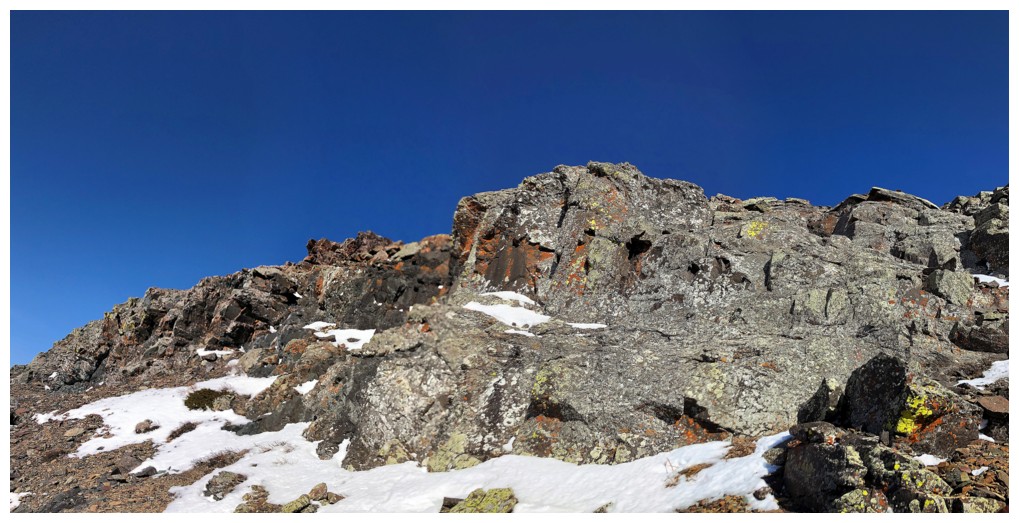
Like many mountains in the area, Prairie Bluff features a beautiful
band of red/burgundy argillite below a band of dark, igneous rock.
Fortunately, on Prairie Bluff these layers of rock sit only a few hundred
vertical metres above the trailhead. Mountains like Dungarvan (I,II, and III) and Glendowan have similar layers near their summits.
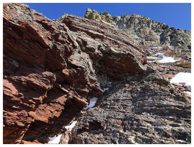
The argillite
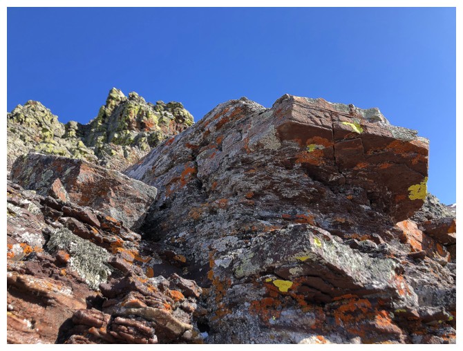
This chunk of argillite really caught my attention....
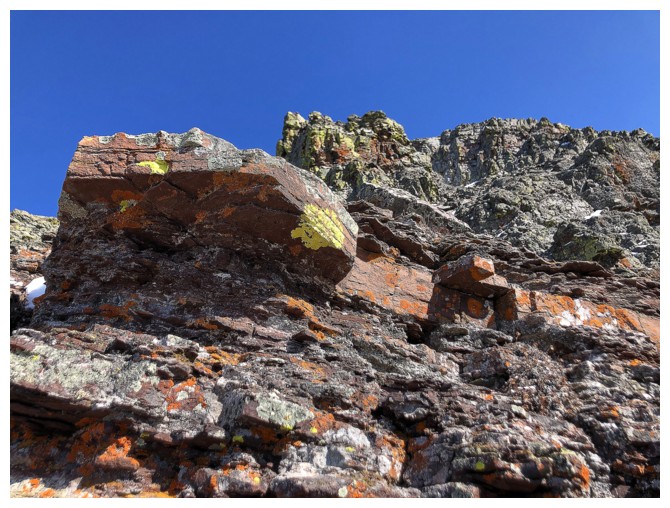
....because of the yellow lichen....
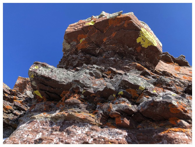
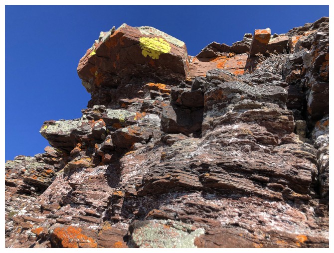
....and it's pentagonal (or hexagonal) implications!
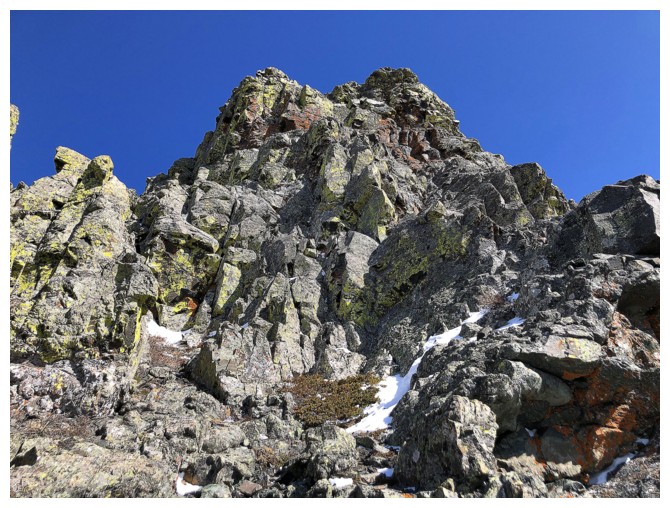
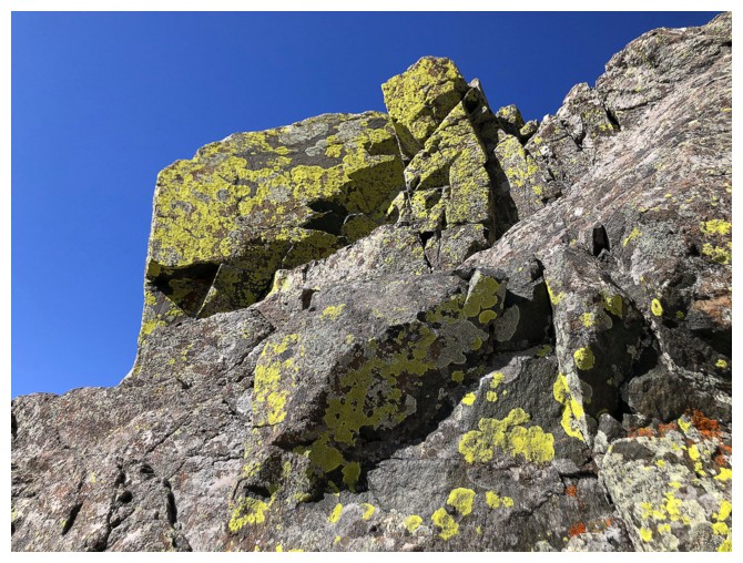
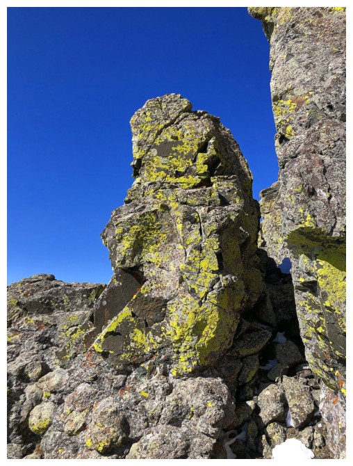
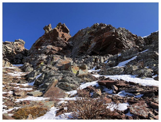
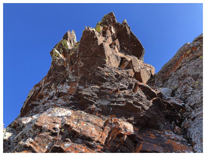
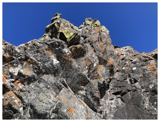
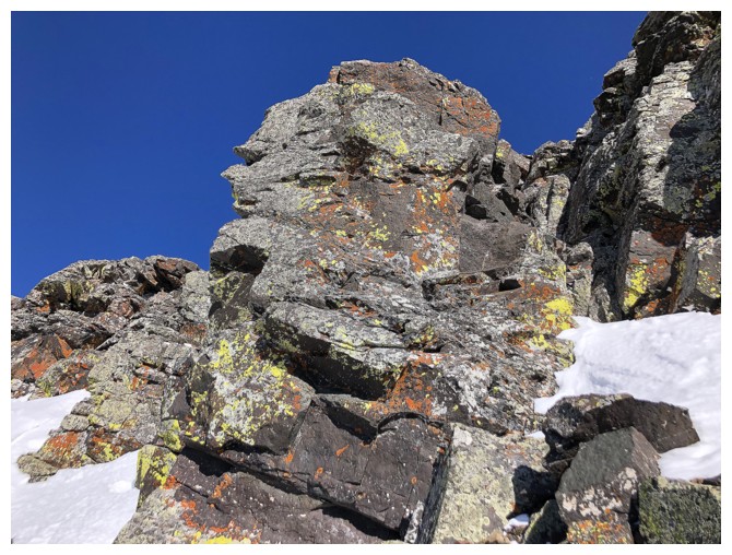
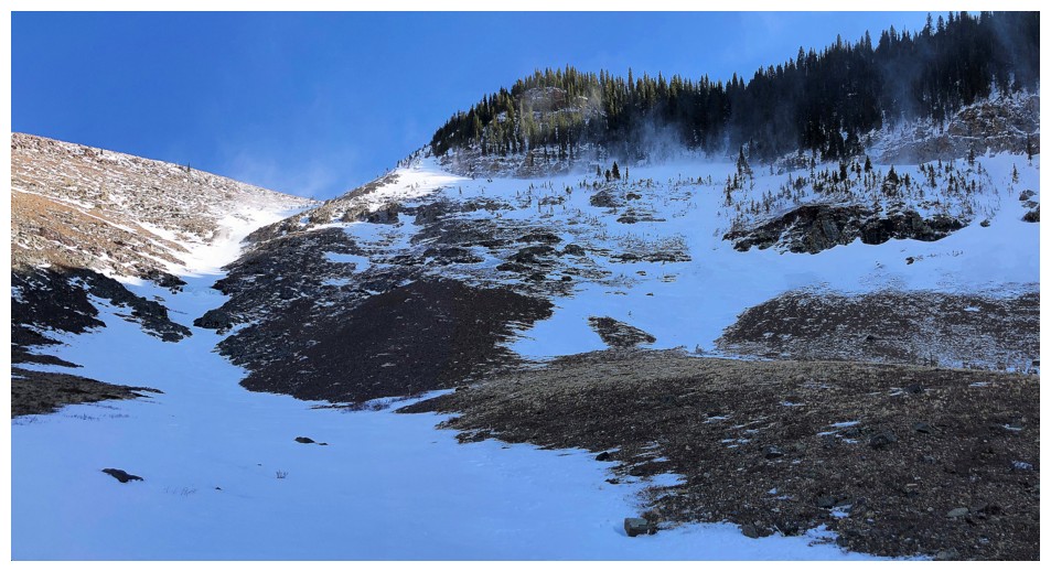
Here comes the yellow lichen-covered, igneous band
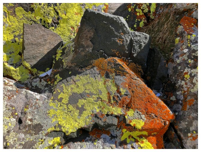
And some beautiful orange lichen to spice things up
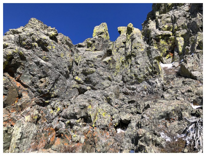
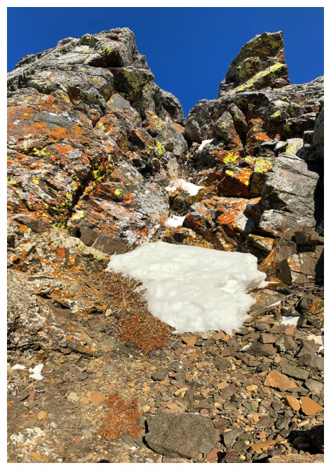
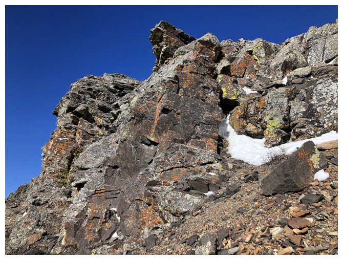
This gully provided an easy scramble route past all the difficulties
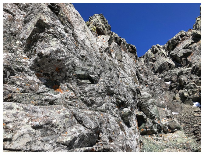
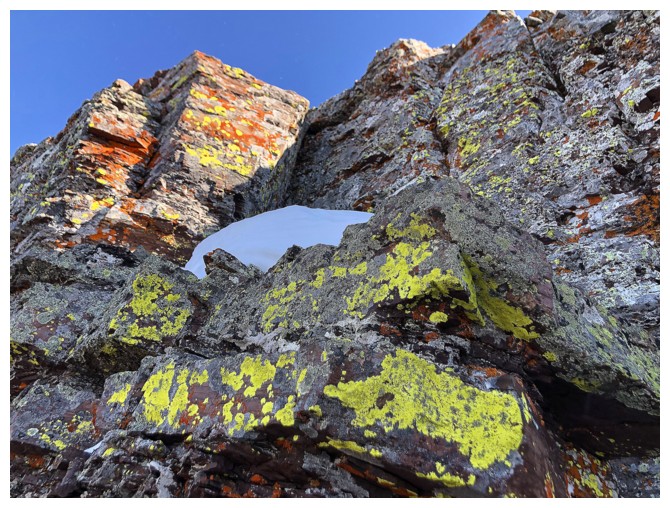
Still lots of cool rock to see
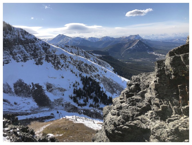
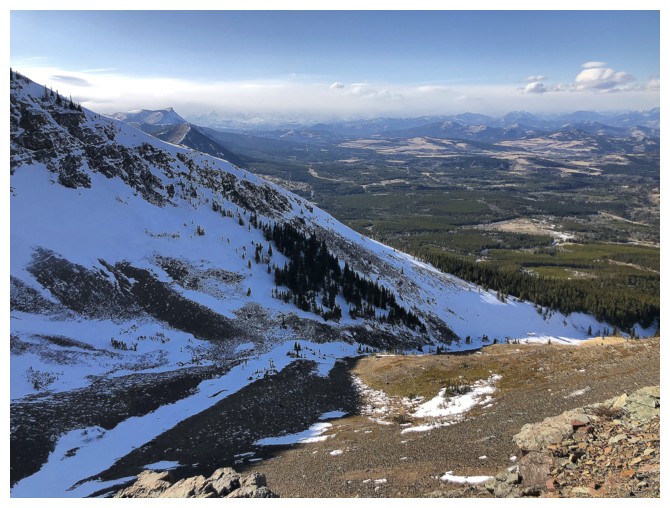
Looking down into the ascent valley, the other ridge, and several Castle peaks (Gladstone, Table, and Whitney Creek Mountain)
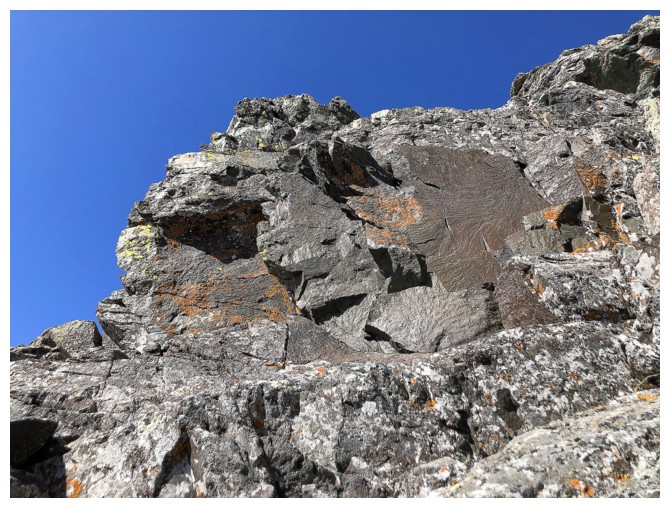
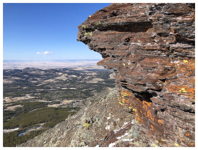
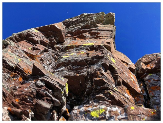
Above the igneous band is another band of red argillite - it's like winning the lottery!!
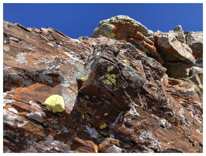
And more lichen
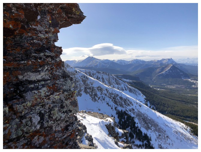
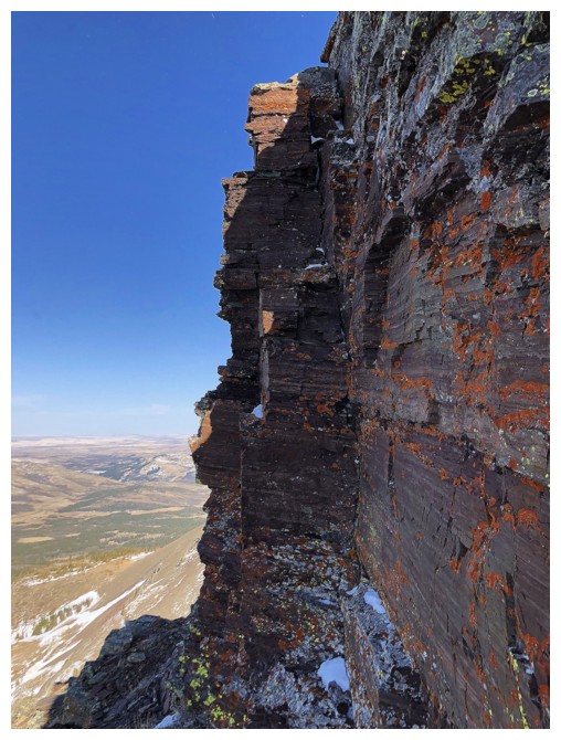
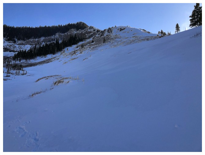
A stunning, vertical wall of burgundy argillite is reached right before a flat plateau (where the wind is!)
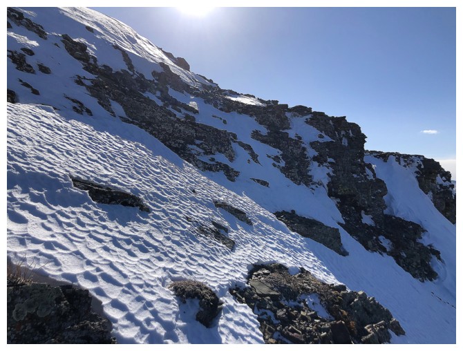
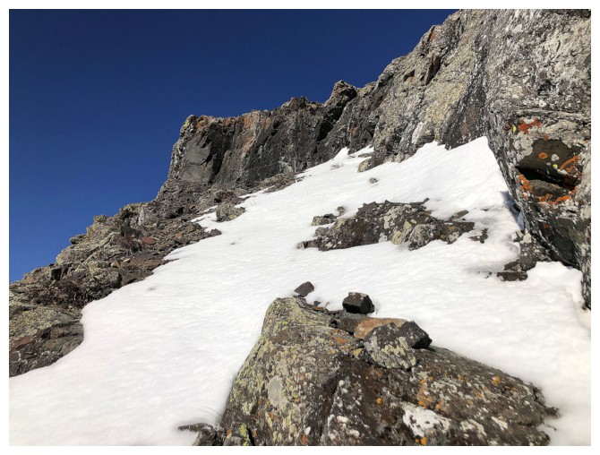
Traversing snowy slopes to avoid stepping into the wind
Retreat!!!
It was so windy, I couldn't take a single photo at the plateau and had
to wait unitl I had lost a fair bit of elevation.
Hastily heading down to the valley
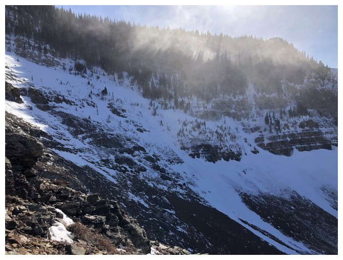
The wind is wreaking havoc on the other ridge too
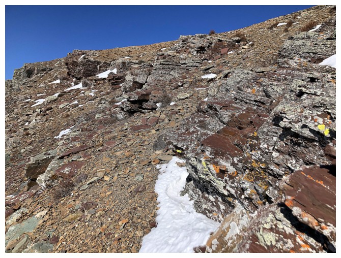
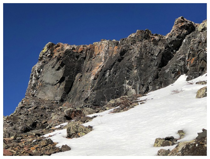
Below the dark band
Traversing below this band was irresistible, even if it meant gaining elevation again and going the wrong way
Time to start heading down. The wind wasn't about to let up.
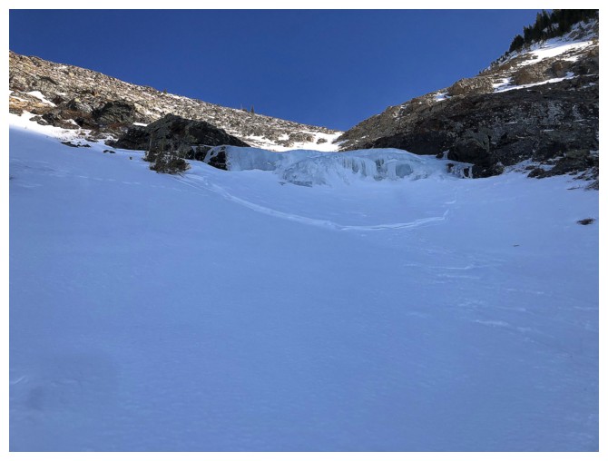
There are a couple of small frozen waterfall in the gully between the two ridges
Snow violently blowing over the ridge
The snow/ice gully at the left also provides a good route to the ridge
Looking back to some of my route. I made to the top of the dark rock before bailing down the right side.
The other ridge. Had a brutally cold experience on that one a few years ago.
Parting look
The End
LOG