Bald Eagle Peak II
May 6, 2025
Mountain height: 2500 m
Elevation gain: 1200 m
Ascent time: 4:15
Descent time: 2:30
Solo scramble.
(Run-on
sentence alert!) After participating in the hiking portion of a Grade 12 grad
retreat, centered around the Our Lady of The Shrine church in Canmore, on a
perfect weather day, I wasn’t about to drive immediately back to Calgary.
However, with a starting time around 1:45 pm, options for a scramble were
limited. The nearest peak, Bald Eagle Mountain, hadn’t seen me in almost 23
years and it seemed like a good option. 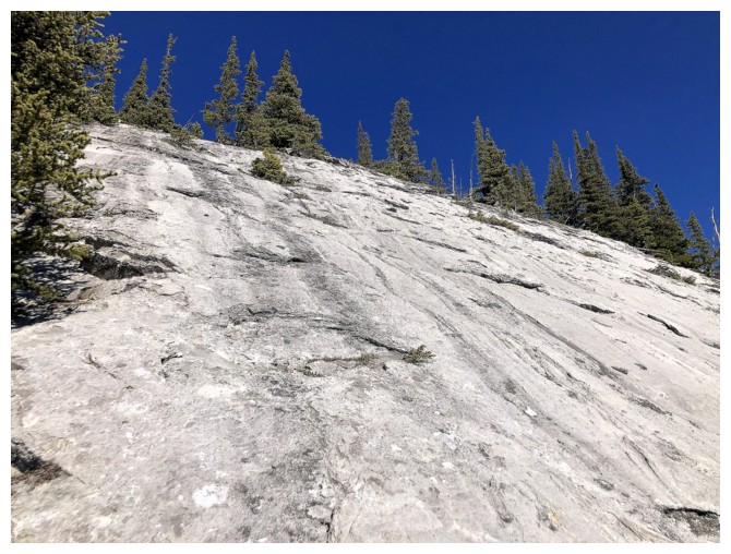 Stuey Brideaux and I had completed the
ascent in 2002 – I had fond memories of that trip, courtesy of Stuey’s fine
company and theatrics!
Stuey Brideaux and I had completed the
ascent in 2002 – I had fond memories of that trip, courtesy of Stuey’s fine
company and theatrics!
What I failed
to consider was the 1200 metres of elevation necessary to reach the summit of
this small peak. I also neglected to bring Alan Kane’s route description and
forgot there was a good trail most of the way up. As such I ended up on steep,
trail-less slopes for a good portion of the ascent. Several hours into the trip
I finally stumbled onto the trail, commenting to myself, “Now I remember!”
Once above
treeline the ascent improved dramatically; views opened up and an exciting
ridgewalk/scramble unfolded. However, once again I fell victim to my own arrogance
in regards to my memory and physical stamina. I thought I would remember all
the details of the scrambling section and would zip up the terrain with ease –
not so. Sticking to the edge of the ridge I scrambled up a steep section of
rock that ended with even steeper terrain. 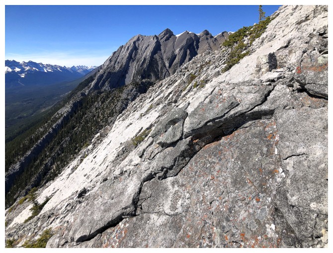 This did not feel like a scramble and
a little bewildered, I downclimbed and went around this step.
This did not feel like a scramble and
a little bewildered, I downclimbed and went around this step.
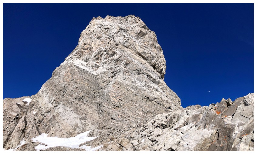
Eventually, I
arrived at the daunting summit block, tired and already 4 hours into a trip
that reportedly can be done up and down in 4.5 hours – another reminder that my
overall physical condition is not even close to what it used to be. I did briefly consider
calling it a day here. A long break and relaxing descent had great appeal. However,
with the summit so close, an attempt to finish the ascent would be mandatory.
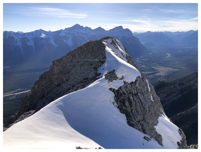
The final stretch
did not acquiesce in the least. After enjoying a completely snow-free ascent, I
was disillusioned to find the northeast side of the summit choked with snow.
The good news was that someone had recently made a track through the snow and with
microspikes and an ice axe I was able to slowly work my way up to the ridge.
The summit was a very short distance away.
Now at the relatively
late hour of 6 pm, my summit stay was limited to a handful of photos
and a short movie. Less than 2 minutes after arriving, I was leaving. Getting down
was far less dramatic than the ascent, though I was still a little miffed it
took me a full 2.5 hours to get to the bottom. Thankfully I arrived back at the
car long before darkness crept in.
Somewhat of a mystifying
return to Bald Eagle Peak, but an enjoyable trip, nonetheless. The stellar weather,
wonderfully blue skies, great rock, and terrific views were more than enough to
compensate for my unexpected memory lapses and my late-50’s, plodding pace!
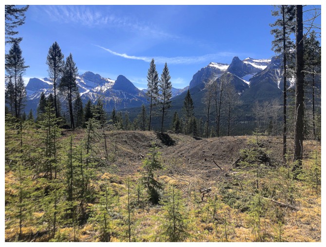
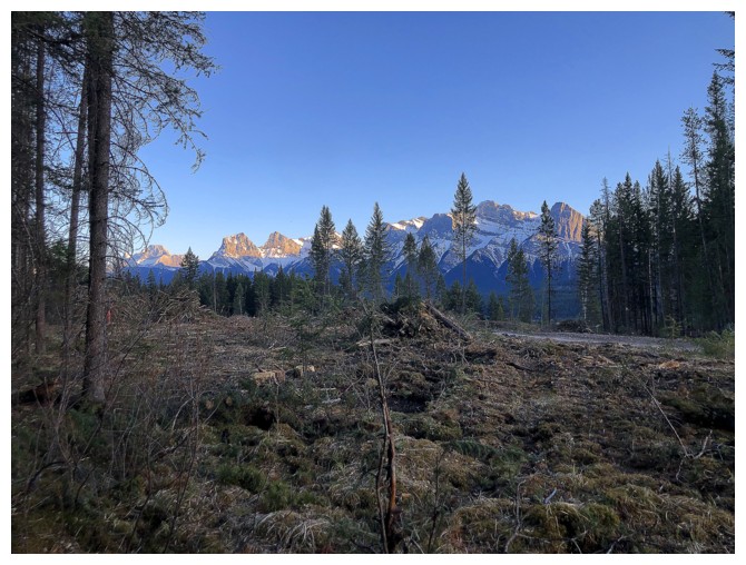
Negotiating the changing landscape near the beginning of the trip. Much has changed since 2002.
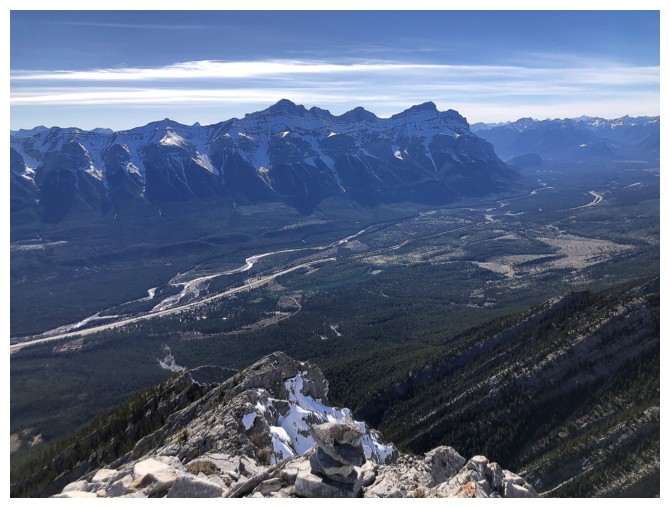
There's Bald Eagle Mountain in the distant centre
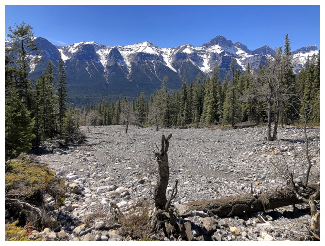
I ended up in this wide drainage, northwest of the objective. Mount Rundle to the west.
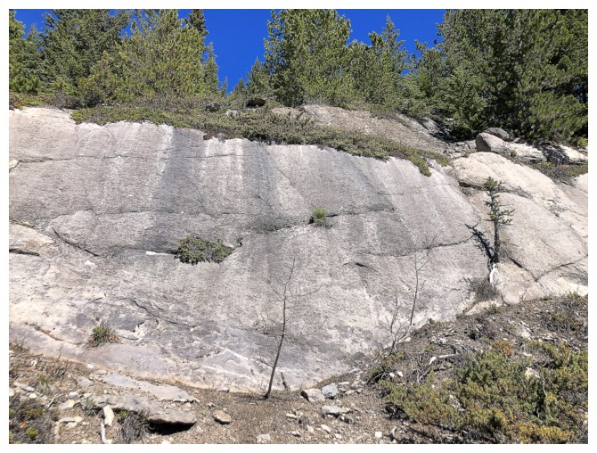
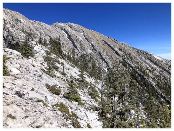
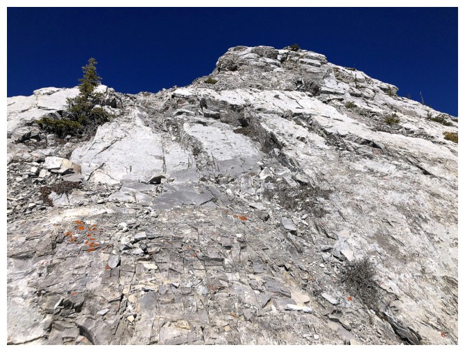
Several hours into the trip I'm finally on the main trail and encountering some cool slabs
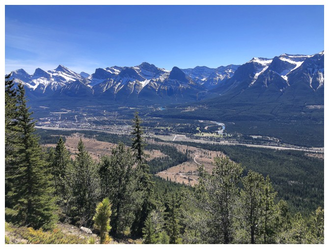
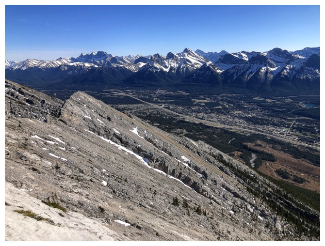
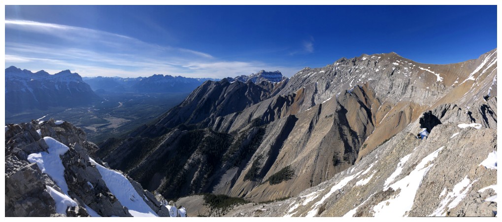
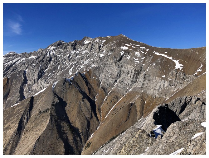
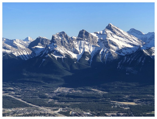
Other peaks above Canmore start to appear
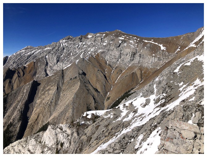
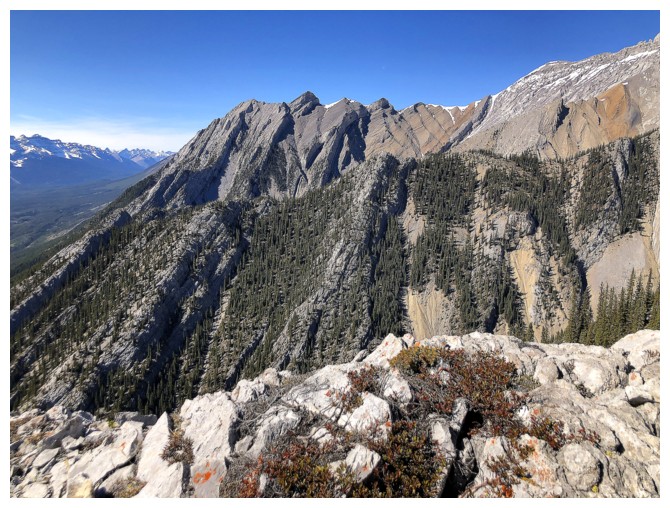
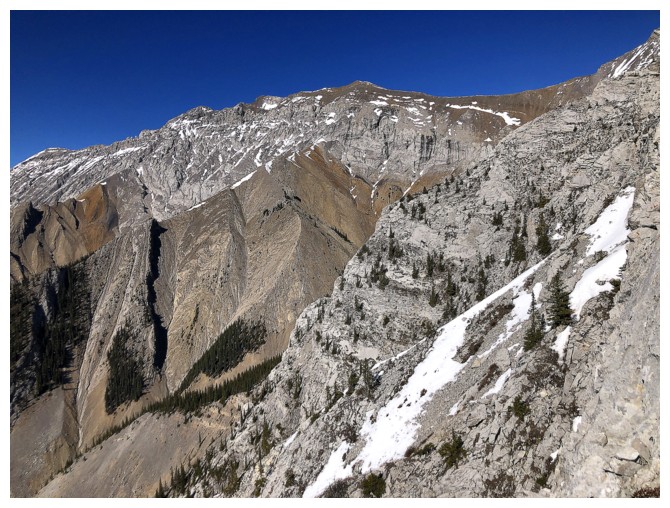
Mount Charles Stewart in the centre. Although it's one of the highest
mountains in the area, Charles Stewart sees few ascents because of the
loose, exposed terrain and general unaesthetic nature of the ascent.
Spectacular Mountains has an excellent trip report.

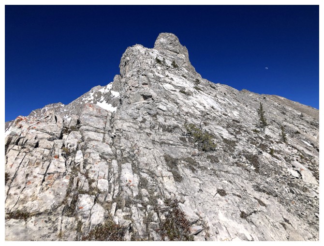
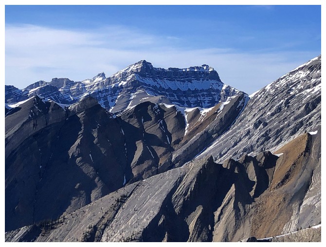
Close-up of Bald Eagle's summit. It's still quite distant, however.
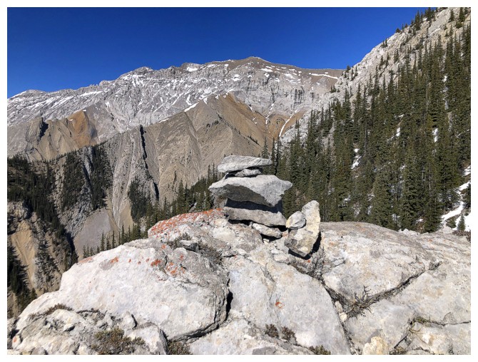
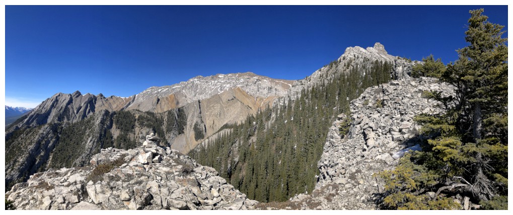
A cairn on the ridge and Charles Stewart
To the north sits Princess Margaret Mountain
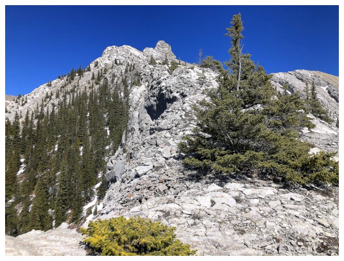
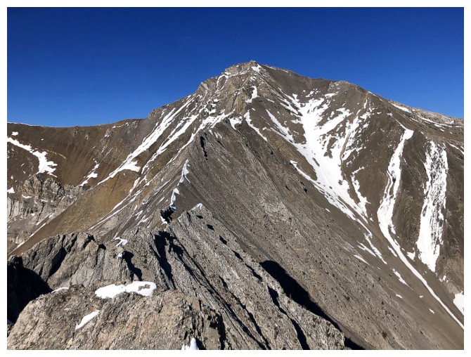
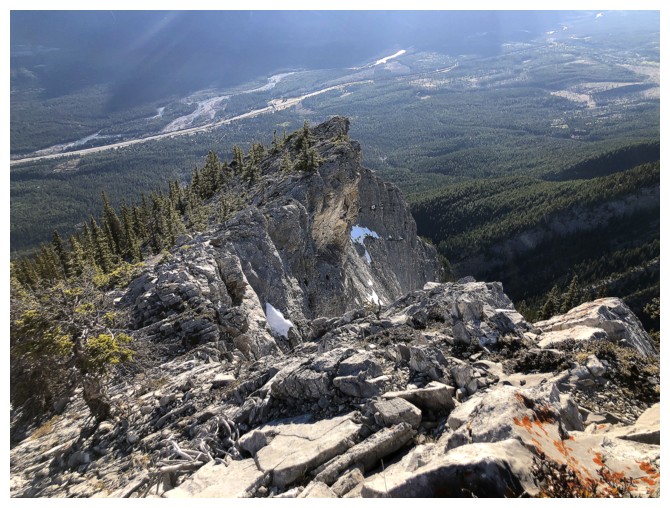
Bald Eagle's south ridge
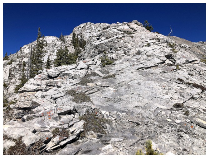
Typical enjoyable scrambling
A short downclimb that feels similar to the one on Mount Baldy
More fun scrambling
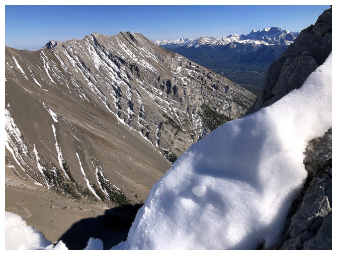
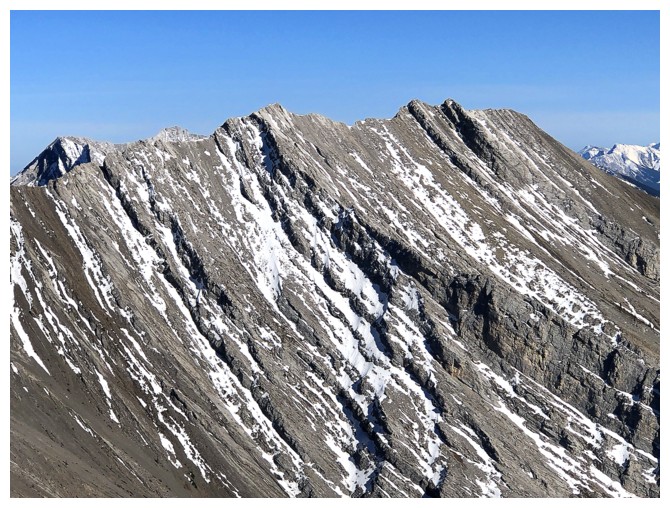
The different colours of rock on Charles Stewart make it quite an attractive mountain
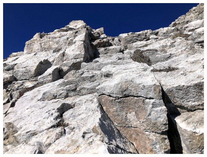
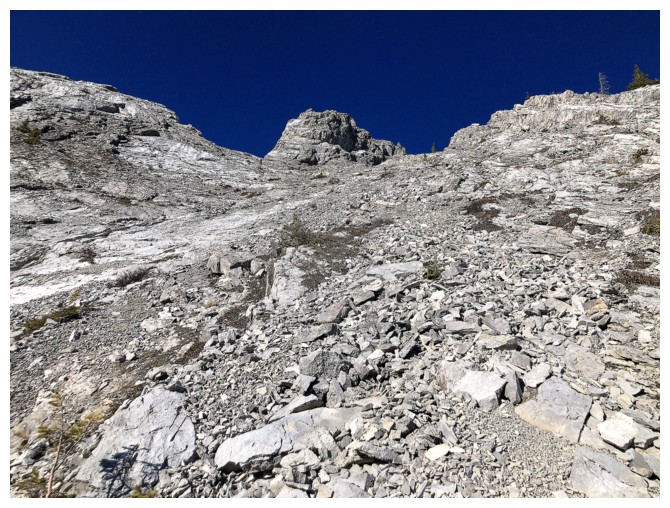
The steep section of the ridge I climbed halfway up then backed down
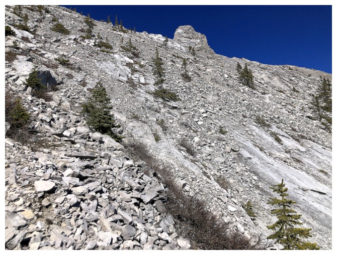
The bypass route
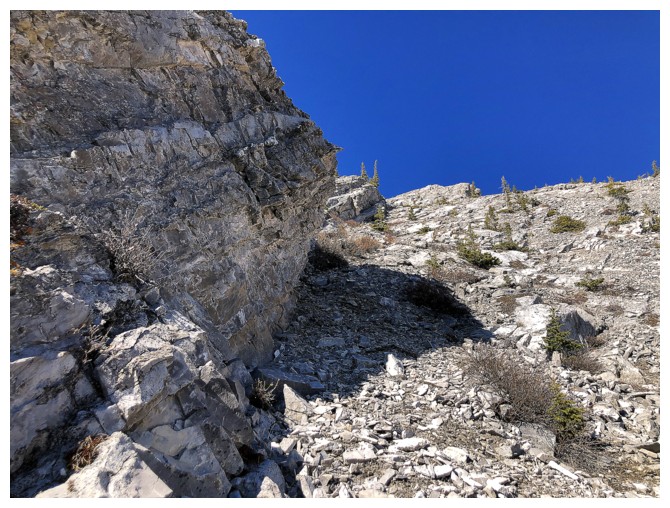
Grinding my way back up to the ridge
On the ridge again
Easier terrain ahead
Same as above with Charles
Lots of good, solid rock on this mountain
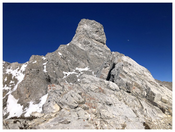
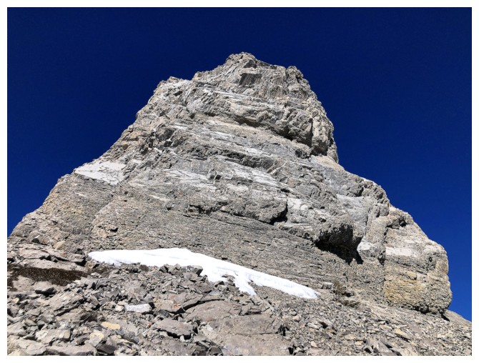
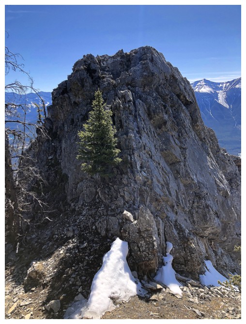
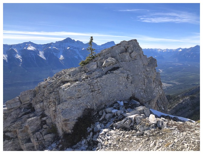
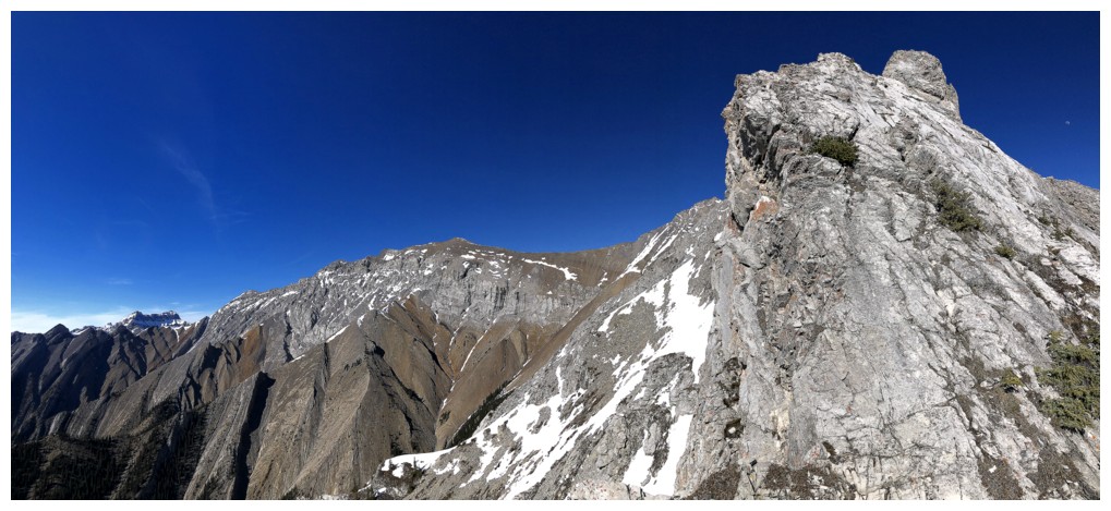
The summit block of Bald Eagle is very photogenic
View to the southwest
View to the northwest
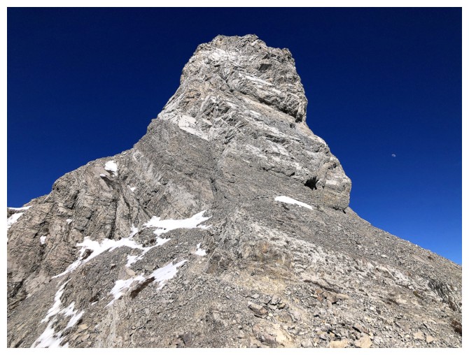
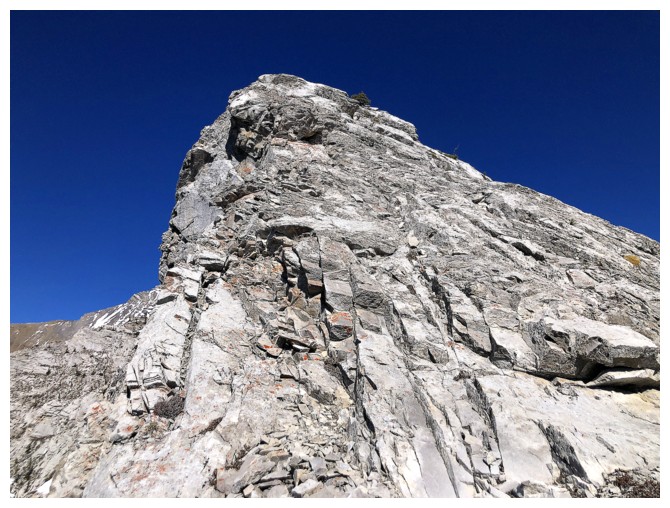
Finally at the base of the summit block. The ascent route goes around the left side.
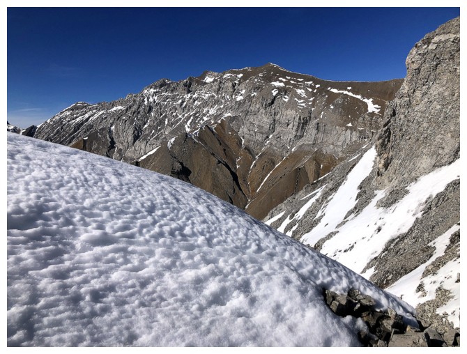
Charles and snow
Usually I love to see the snow, but maybe not in this area on this day
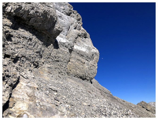
The small Moon to the right of the block
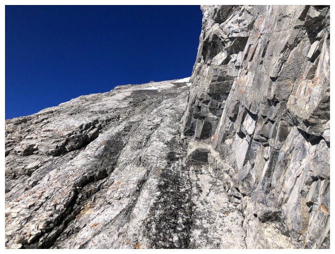
Heading around the left side. It's quite steep.
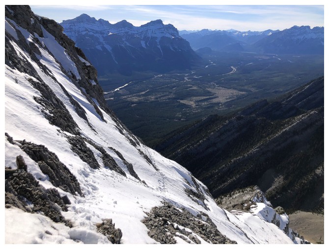
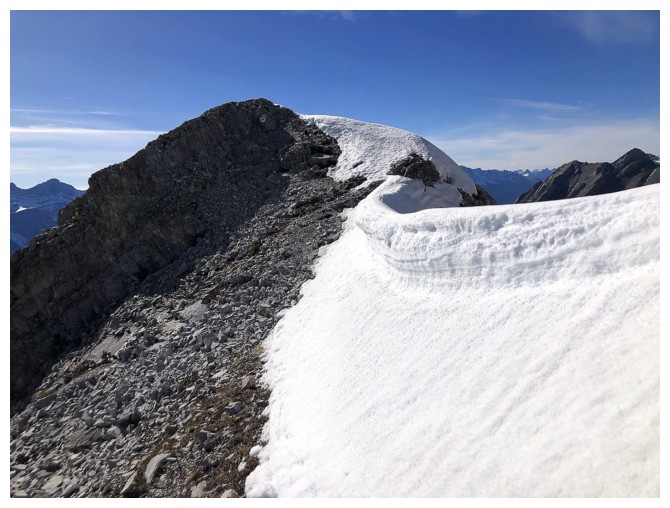
Looking back at the snow slopes I traversed to get to the ridge. They
look innocuous from this angle, but a slip without an ice axe would
have been very serious.
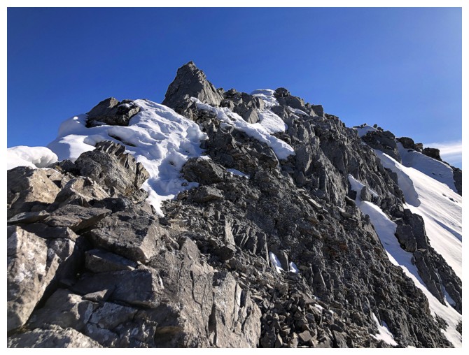
Short scramble to the summit
Mount Lady MacDonald
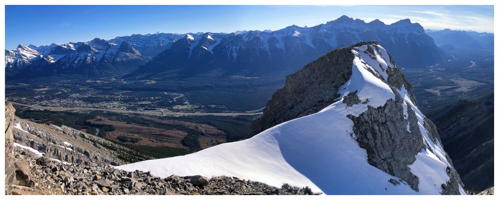
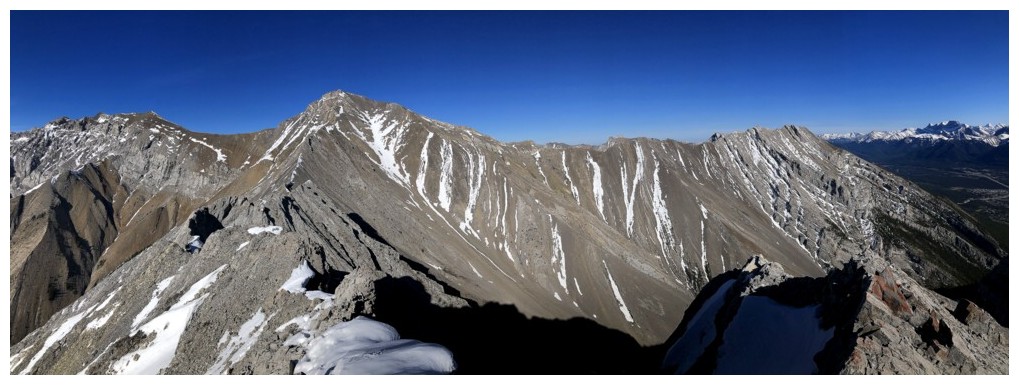
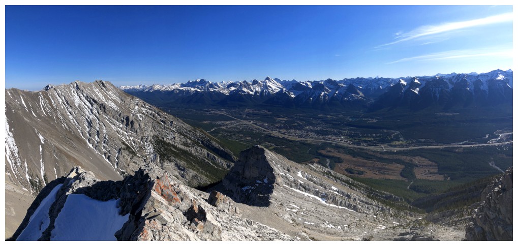
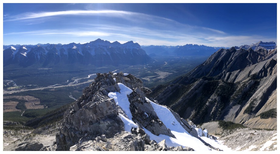
Summit panos

Mount Peechee
The ridge between Lady Mac and Charles Stewart South looks very intimidating
The connecting ridge to Charles Stewart South (Buffalo Point)
Charles Stewart again

I used a slightly different route to get back around the summit block and I would not repeat it!
Parting look at the summit
Enjoying the snow more, now that it's not a factor
Another parting look at the summit!

The three peaks of Mount Lougheed and Wind Mountain
The Three Sisters - Charity, Hope, and Faith
The very steep north side of the ridge
Back down in the valley
The End
LOG