Cloudy
Ridge IV
 I used to think
the crux of Cloudy Ridge was a very short but exposed jaunt across a ledge
before going around to the north side of the summit block. However, in
retrospect it’s the steep climb right before the summit. Extreme care is required when descending this section.
The big
question of the day was now going to be how windy would it be at the top? 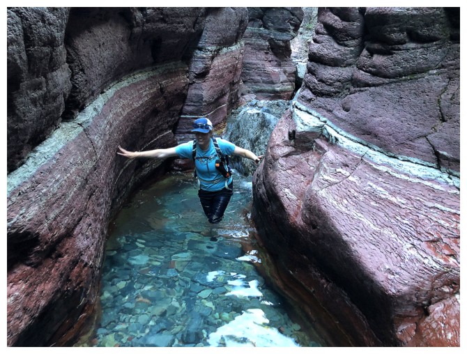 On
our first trip in 2006, Mark and I had endured gale force winds throughout the
ascent, to arrive at a completely windless summit. We then descended in those
same gale force winds, surmising the orientation and shape of the summit block
must in some way divert the winds away from the top. Although Ryan, Jill, and I
didn’t we have completely calm conditions, the wind was significantly less
voracious than what we had battled throughout the ascent. Here, the three of us did take an
extended break to enjoy our third summit of the day and more wonderful views of
Waterton Park.
Descending
Cloudy unfolded with predictable ease and of course the hike out via Red Rock
Canyon was predictably breath-taking! We reached the Red Rock Canyon parking
lot about 12.5 hours after leaving the Lost Horse Creek lot.
Besides the
wind, an exceptional day with two wonderful friends. I can’t rave enough about
the scenic treasures and the wild variety of terrain along this incredible loop
route. Highly recommended for all scramblers looking for a real adventure.
Leaving Dundy. The summit of Cloudy Ridge is just right of centre.
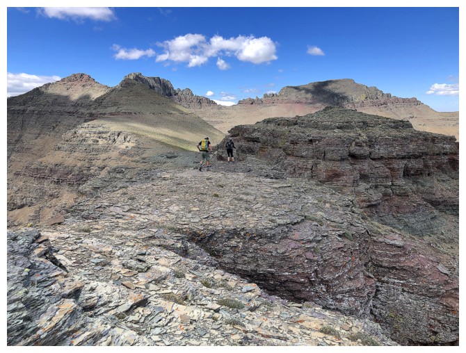
The traverse alternates between easy ridgewalking...
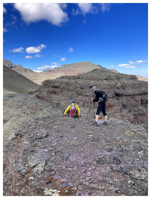
...and more challenging terrain. We had to back up here and find a route down and around this drop-off (photo by Ryan).
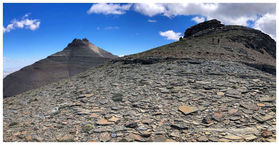
Back on the ridge with that drop-off behind us
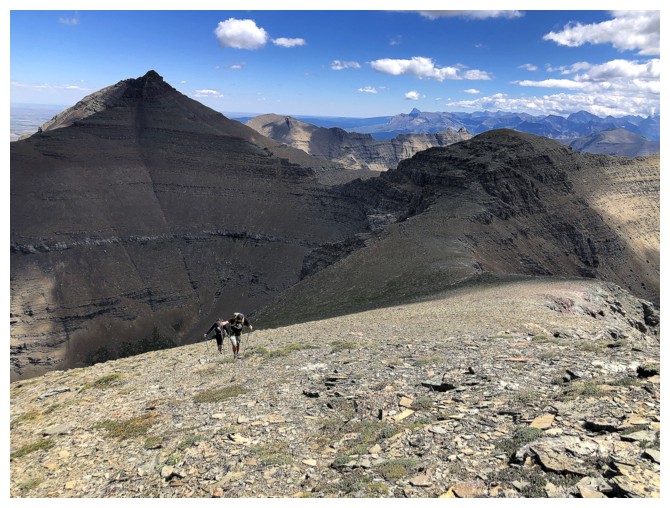
Lots of ups and downs along the way, but nothing too strenuous
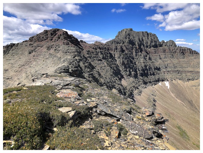
Approaching an important highpoint on the ridge
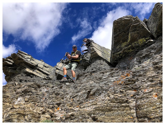
Dodging more tricky terrain by staying below the ridge
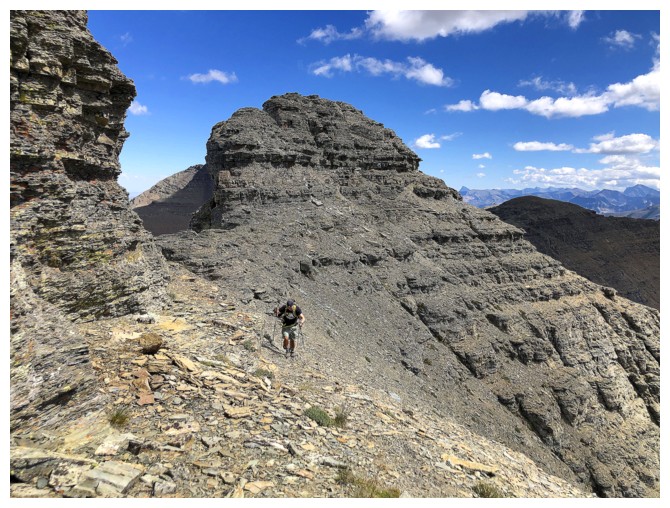
Surprisingly we did most of the detours on the west side of the ridge, instead of the more wind sheltered east side
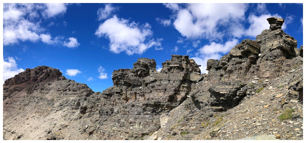
One of the more interesting sections
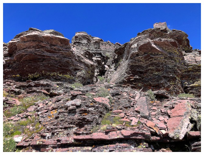

Back on the ridge again
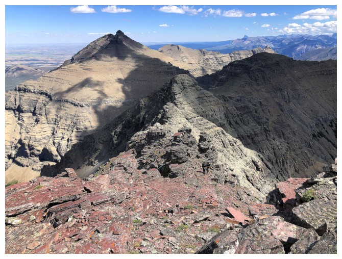
Here come the troops (although I may give them my lecture on wearing bright coloured clothing!)
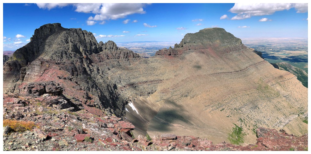
At the important highpoint, with Cloudy and Cloudy Junior both looking very inviting
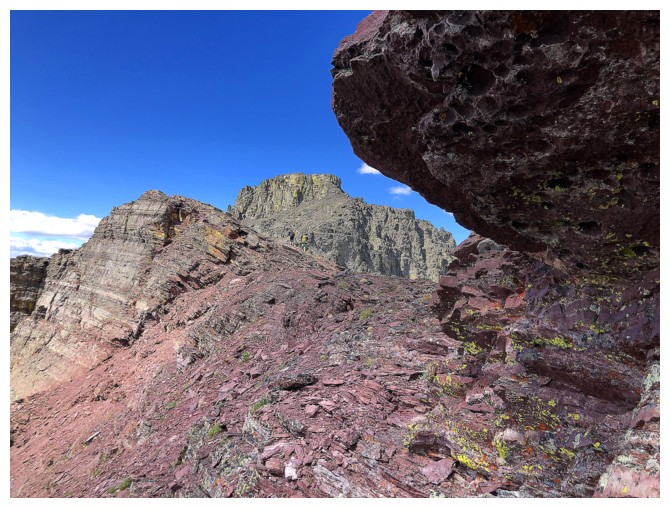
The summit block, but it's still some distance away
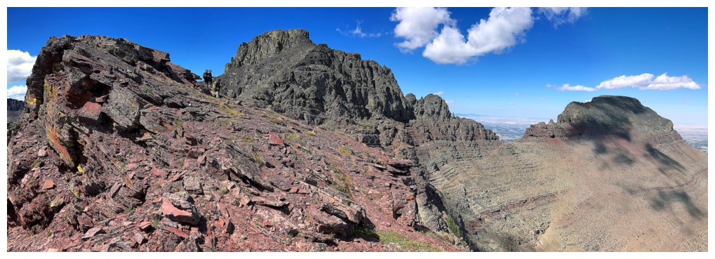
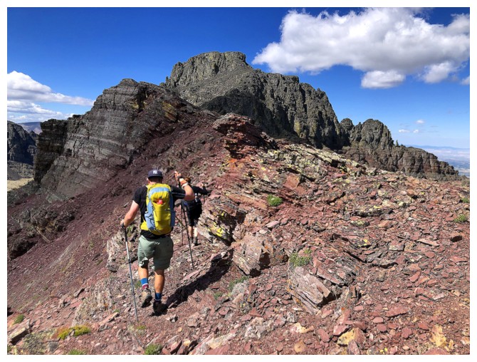
Lots of beautiful red argillite between the highpoint and the summit block
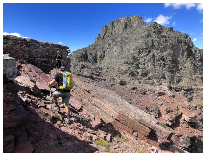
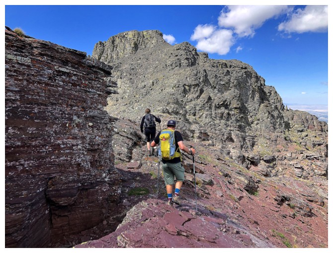
The yellow backpack is a good start!
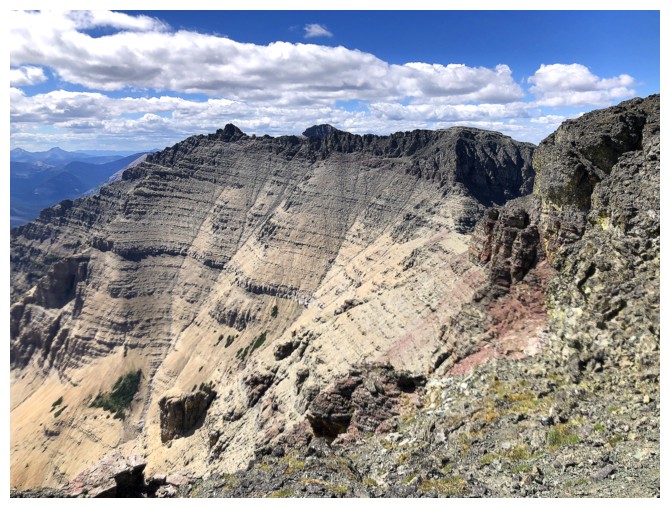
Looking over to Cloudowan Peak
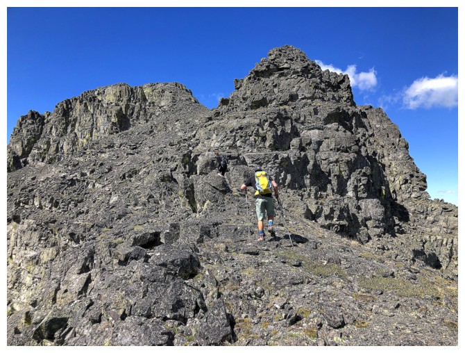
The red rock gives way to lichen-covered dark rock
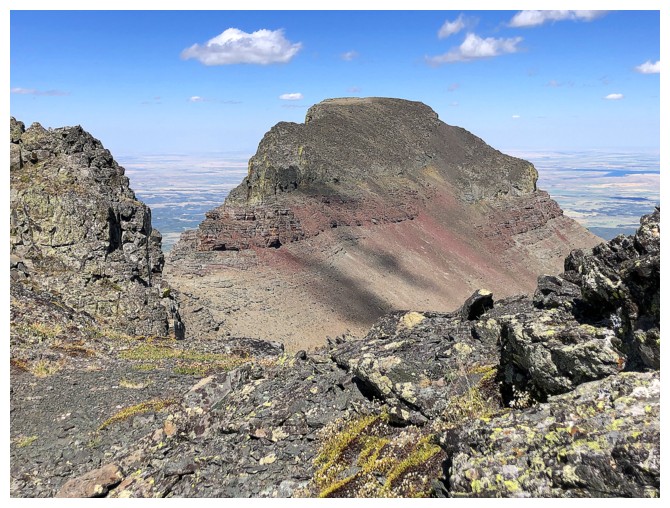
Cloudy Ridge Junior from one angle...
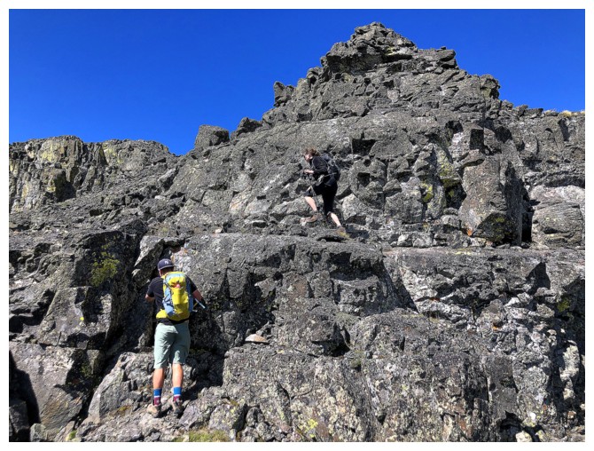
Easy scrambling on the solid rock
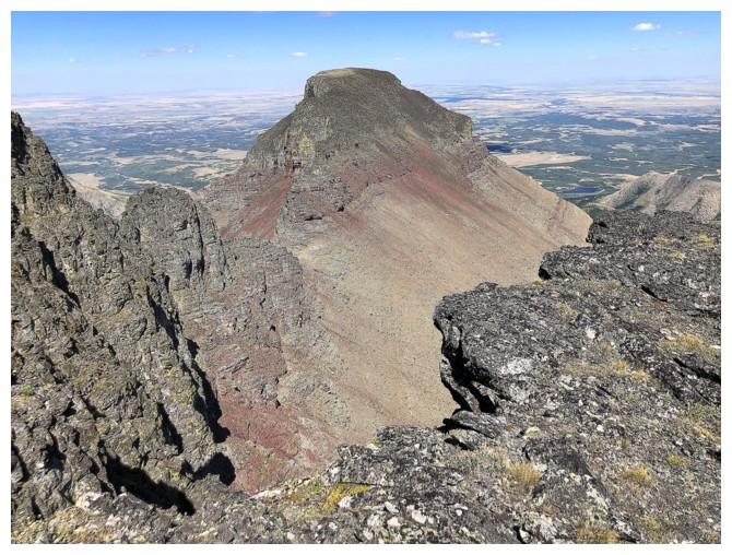
... and from a slightly different angle
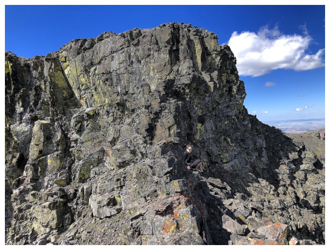
Opps! I led Jill astray here, forgetting that the ridge ends in a drop-off and must be circumvented on the left side
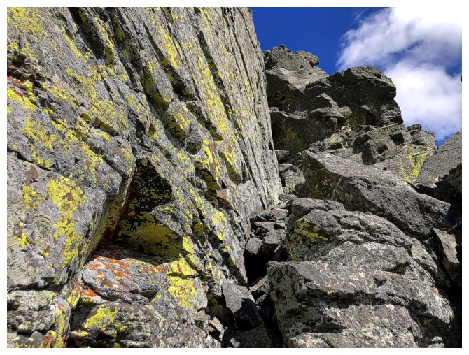
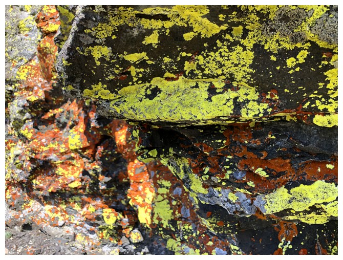
Good thing the bypass route is lichen heaven!
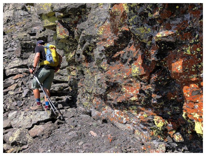
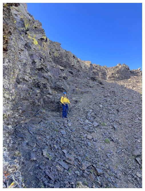
On the other side of the narrow and exposed ledge (photo by Ryan)
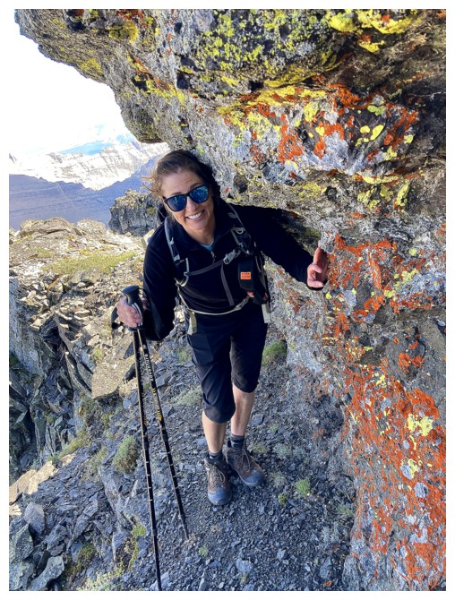
Jill gets ready to traverse the narrow ledge (photo by Ryan)
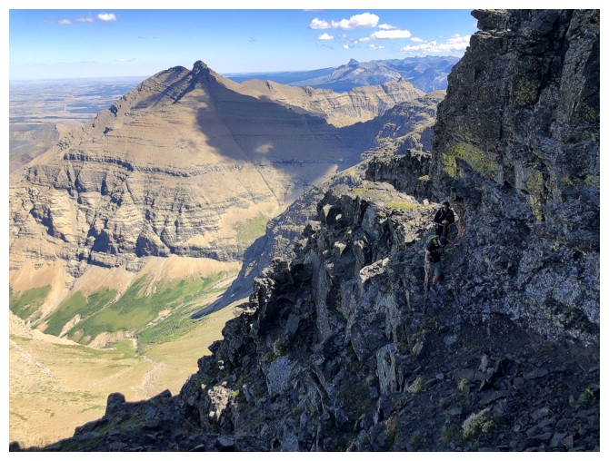
Ryan goes first
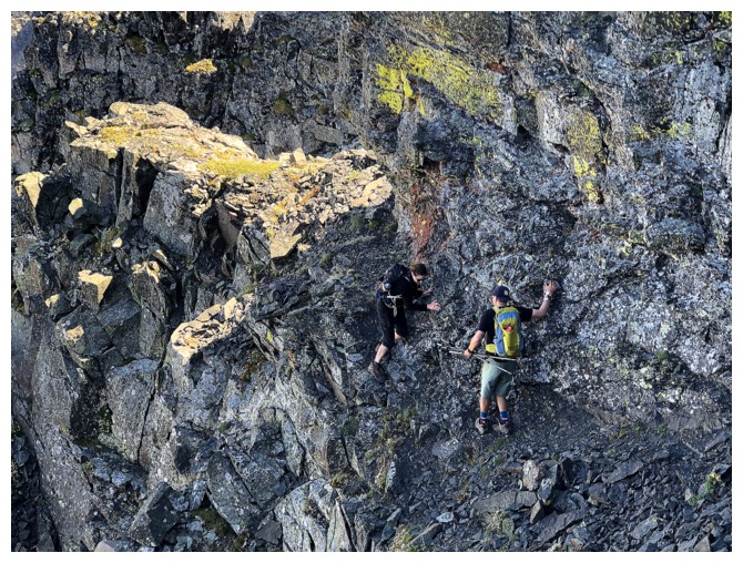
Jill follows
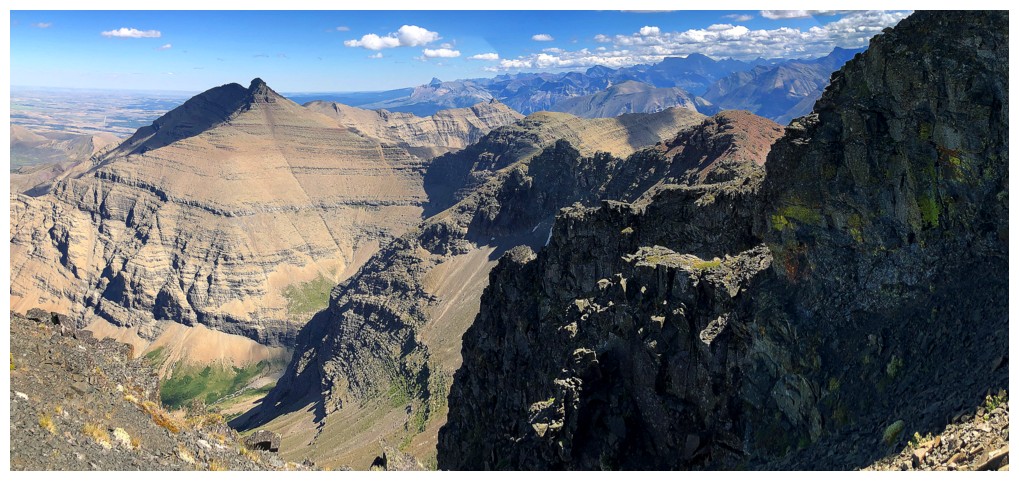
Dungarvan (left) looks so far away now
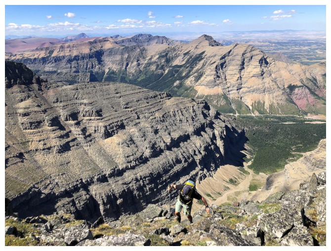
Ryan takes the last few steps to the summit
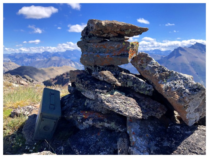
Cairn on summit #3
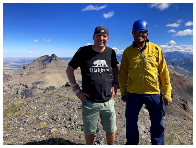
Last time with the fractions! (photo by Jill)
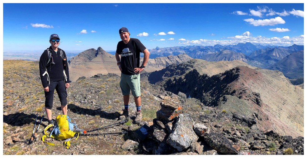
Congratulations on a Waterton triple-header Jill and Ryan!
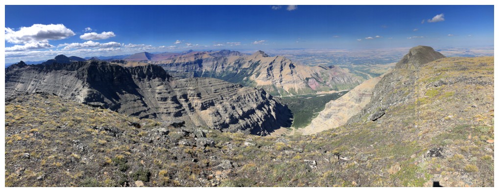
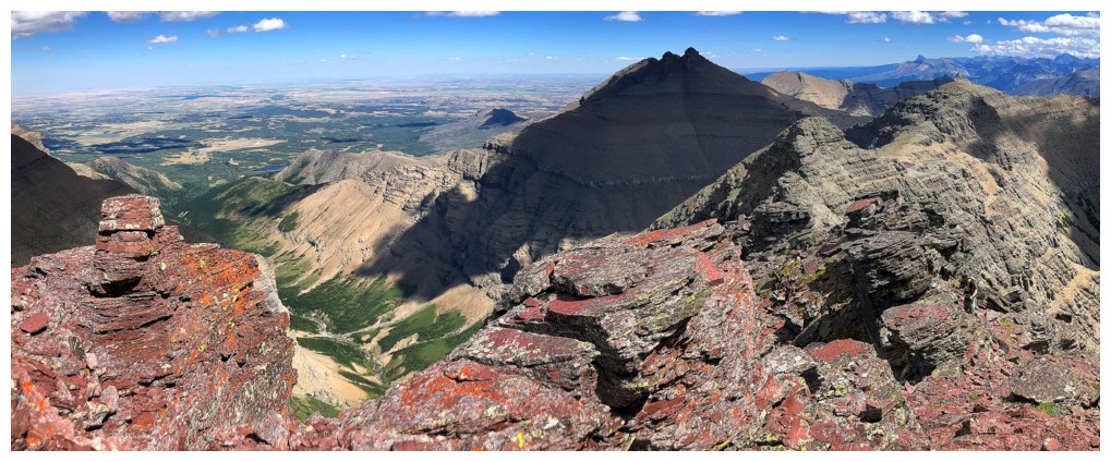
View north
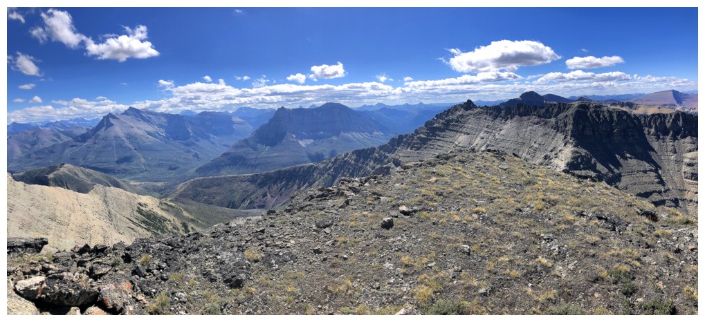
West
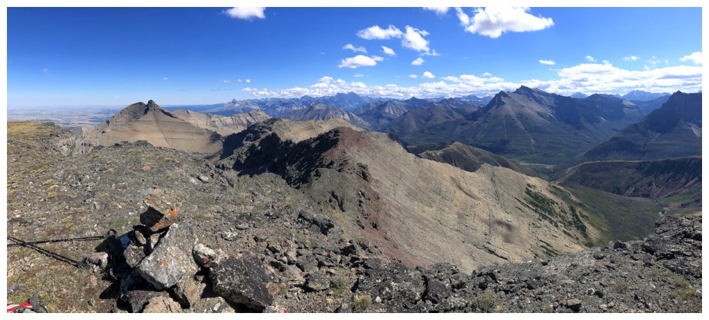
South
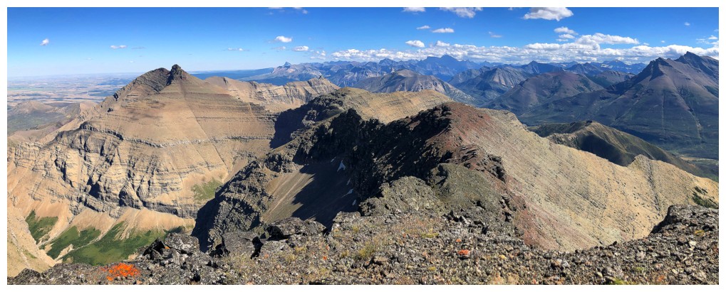
Almost all of the route from Dungarvan to Cloudy is visible here
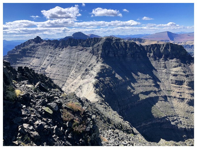
Cloudowan Peak at the far left and Cloudowan Northeast in the centre
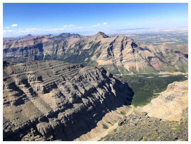
Another valley, north of Cloudy, with very challenging access. Mount Roche in the distant centre.
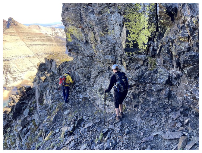
Going back over the ledge (photo by Ryan)
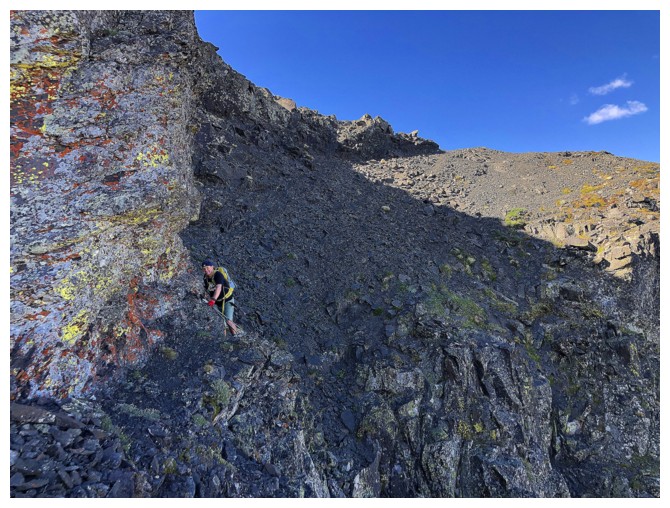
Ryan does the same
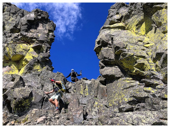
Bit of a downclimb through the cool rock
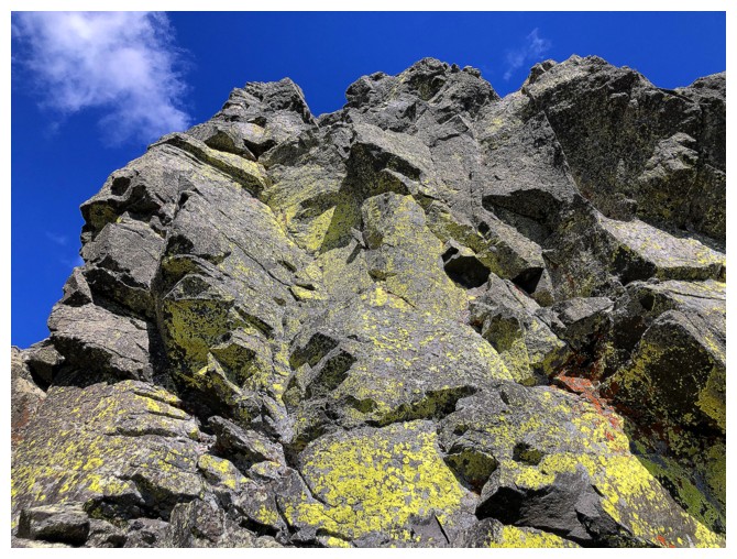
That cool rock
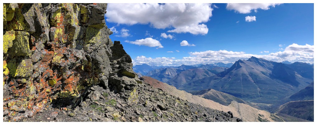
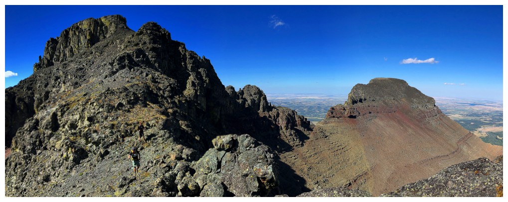
The Alston's are camouflaged on the ridge again
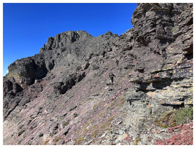
We decided to side-slope here, to intercept the descent line instead of sticking to the ridge and gaining the next highpoint
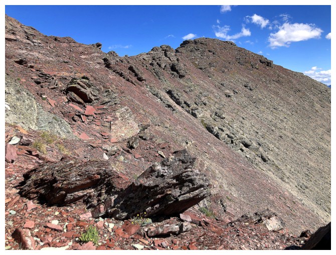
The highpoint that we skipped on descent and much of that side-sloping route
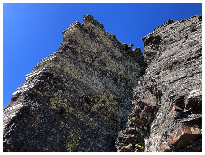
There's still lots of cool rock scenery to enjoy
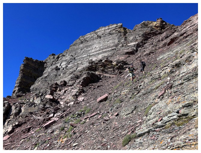
And some steep terrain to negotiate...
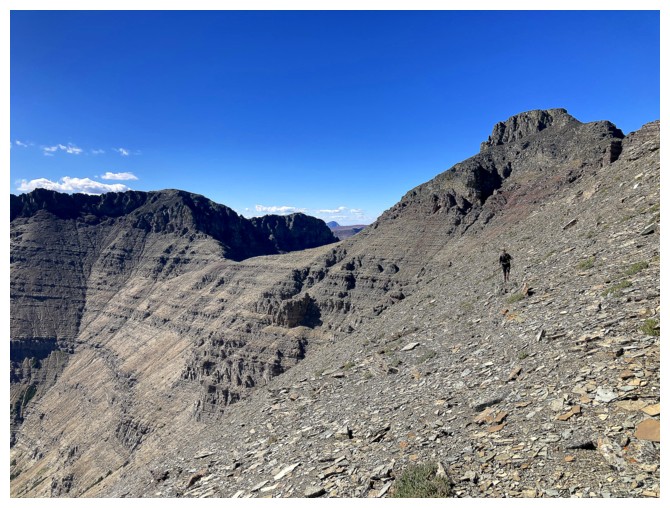
...then more gentle terrain (photo by Ryan)
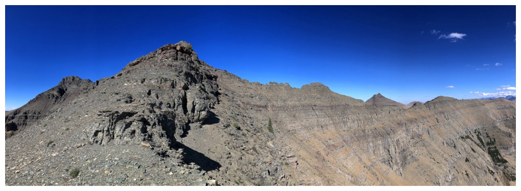
On the descent ridge. Cloudy at the left and the highpoint to its right. Dungarvan and Dundy are also visible.
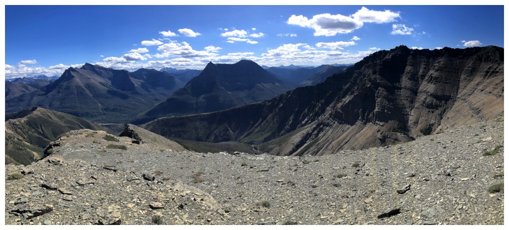
The descent ridge at the left, Anderson Peak in the centre
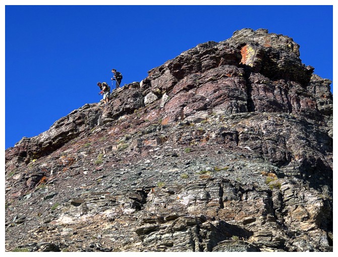
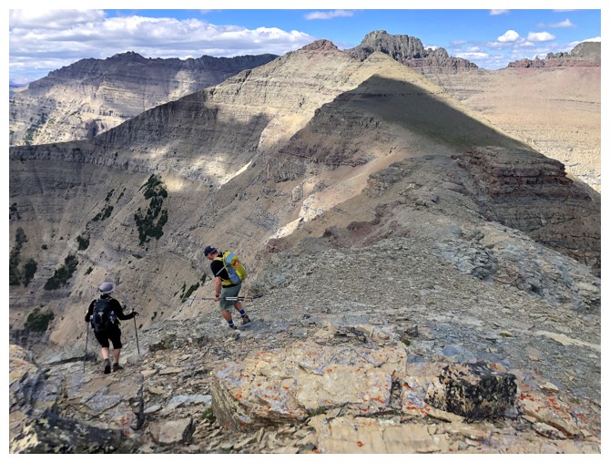
There are a couple of scrambly sections to negotiate on descent, but otherwise it's just steep hiking
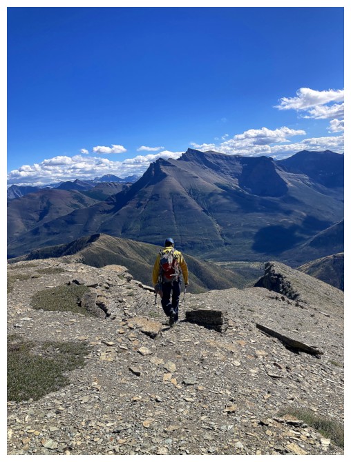
Like that (photo by Ryan)
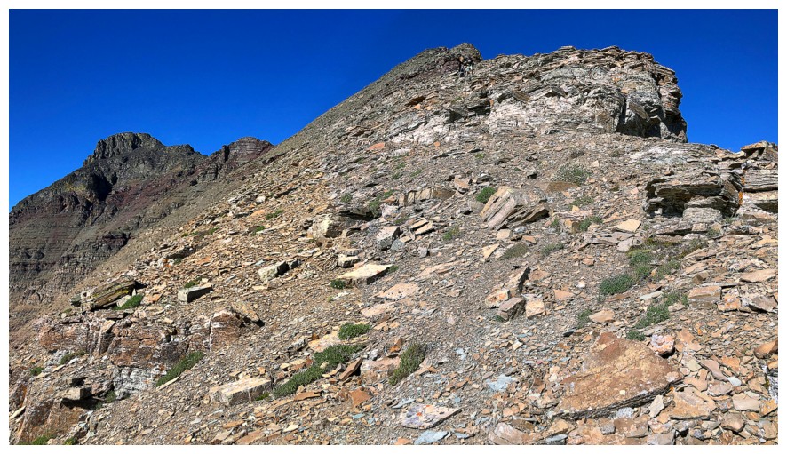
And this
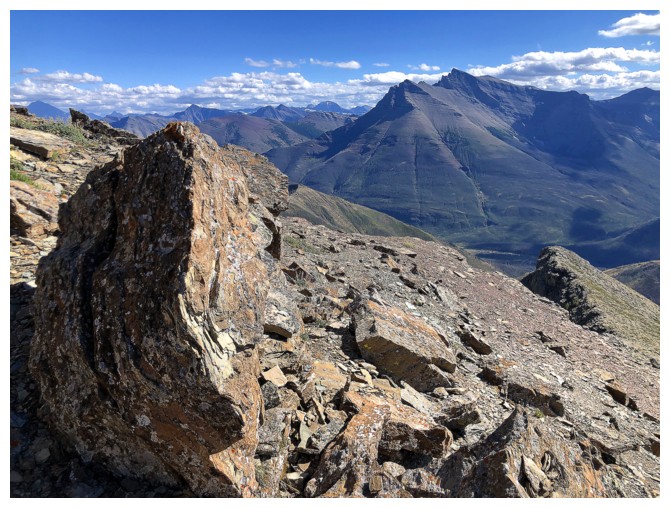
While easy, the descent is not devoid of great rock scenery
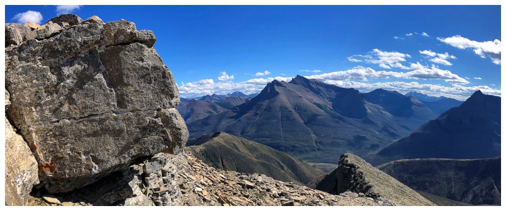
Case in point
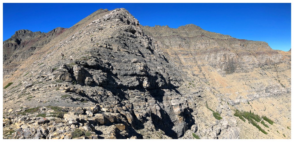
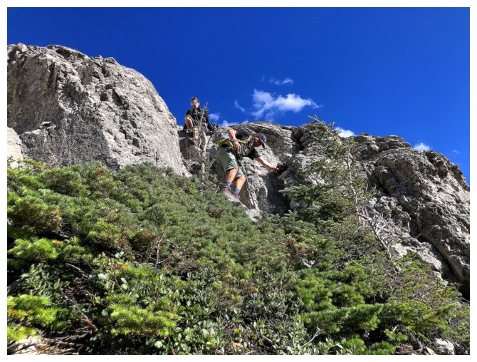
Another step to downclimb
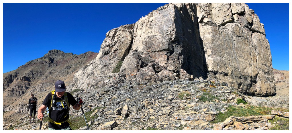
The infamous limestone band
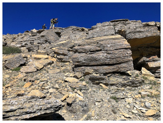
We definitely had the clearest skies of the day on descent - but the wind didn't let up until we got down to Red Rock Canyon
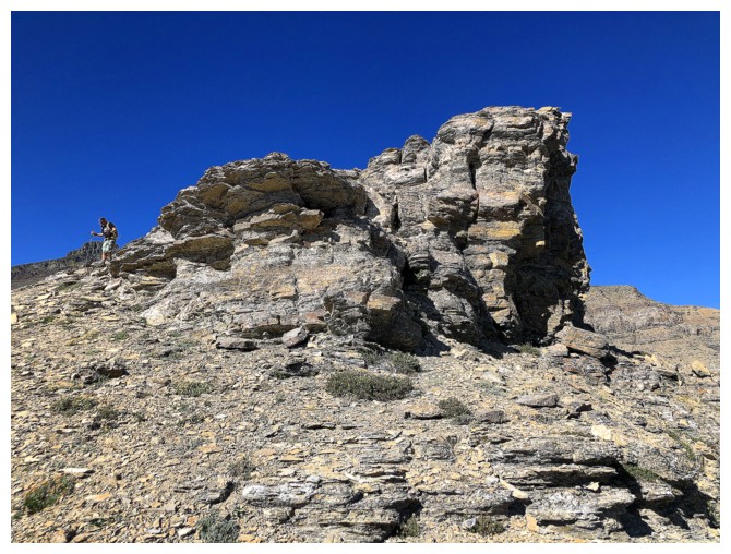
More cool rock
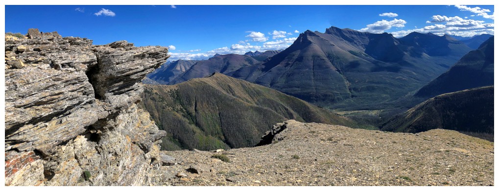
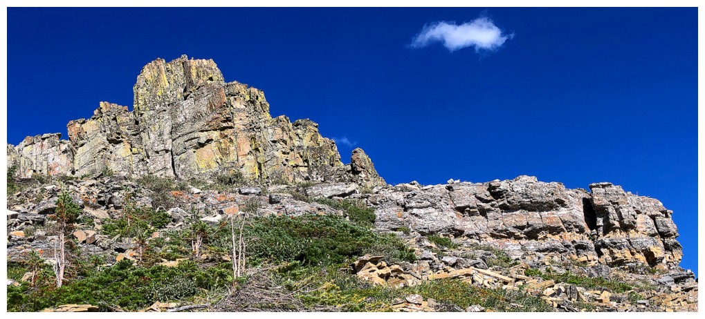
One of the most stunning rock bands of the entire trip
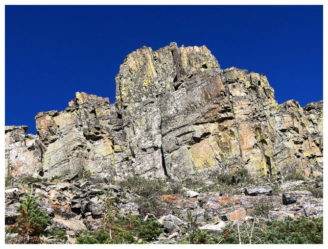
Close-up
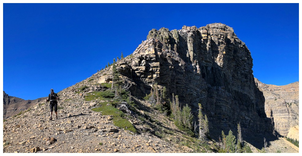
Followed by one of the coolest scenes
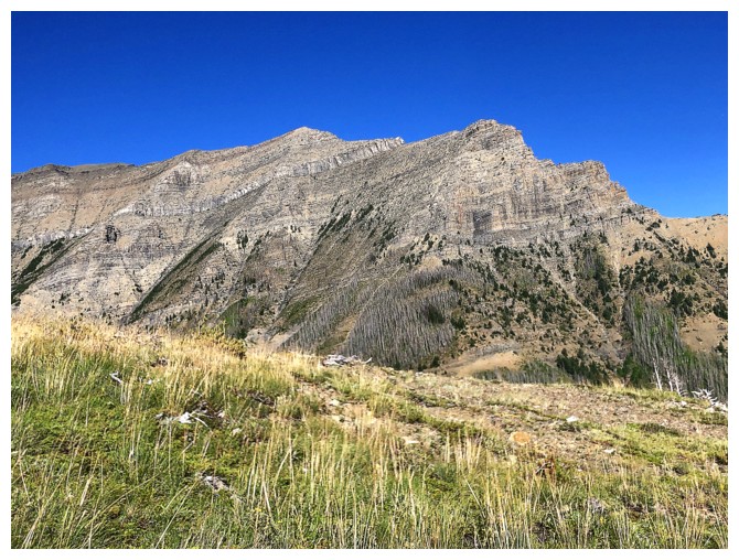
A very different perspective of Dundy. I tried to get up the peak from the right many years ago but failed.
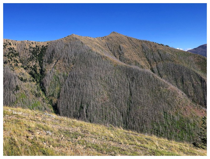
I call this peak Dundy Junior and it has become one of my go-to routes in Waterton
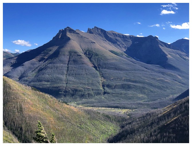
Mount Blakiston always looks glorious
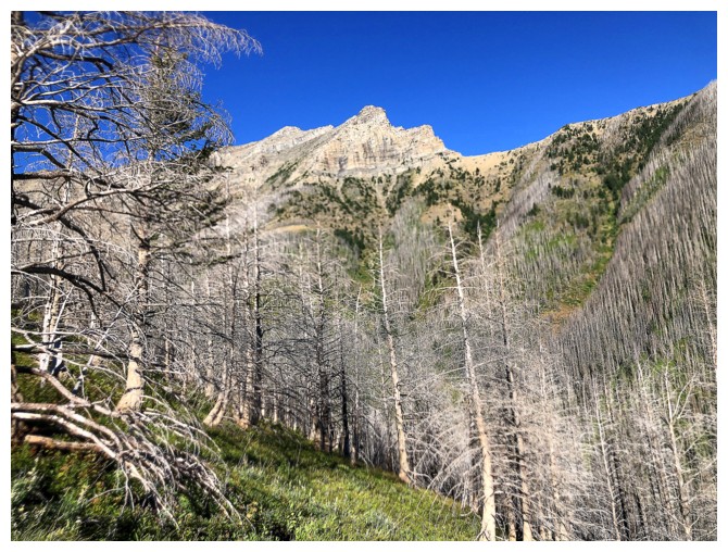
Dundy again
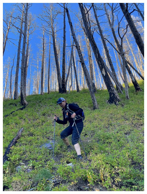
When I said steep hiking I meant it! It's actually steeper than it looks here (photo by Ryan).
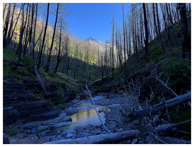
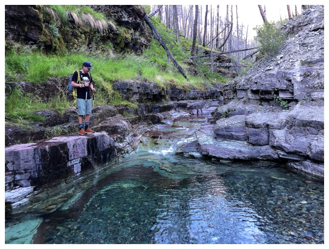
In Red Rock Canyon and ready to enjoy some of the best scenery Waterton has to offer
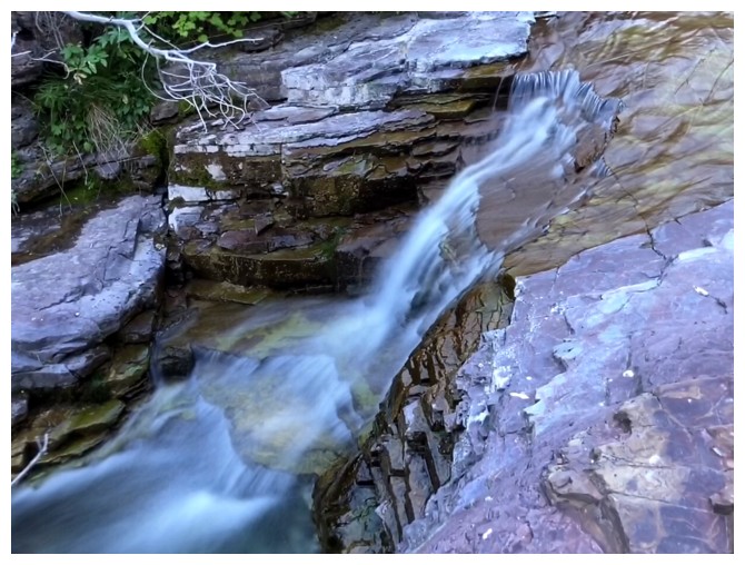
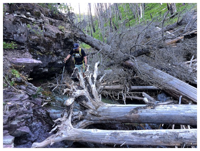
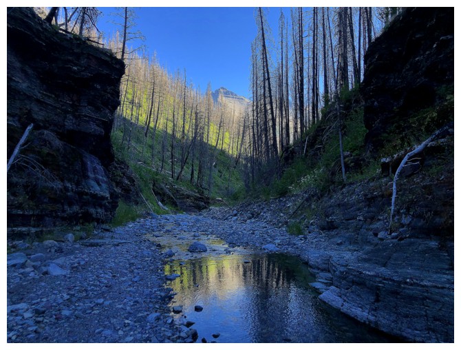
The only section of deadfall we encountered
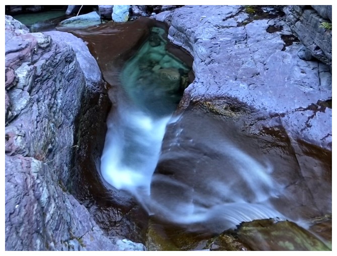
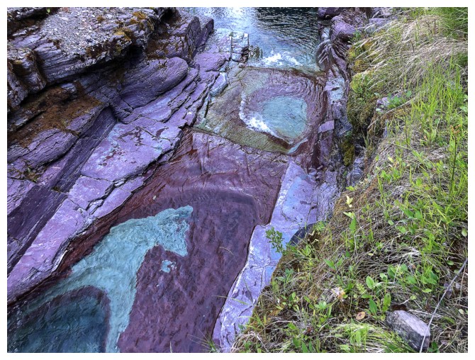
Amazing colours from here to the end
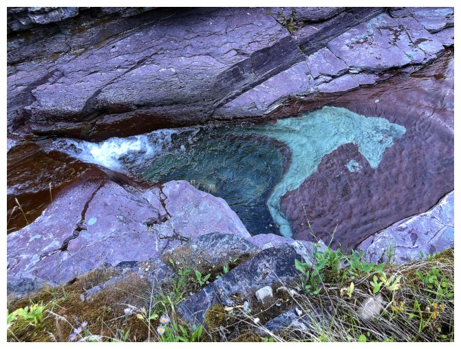
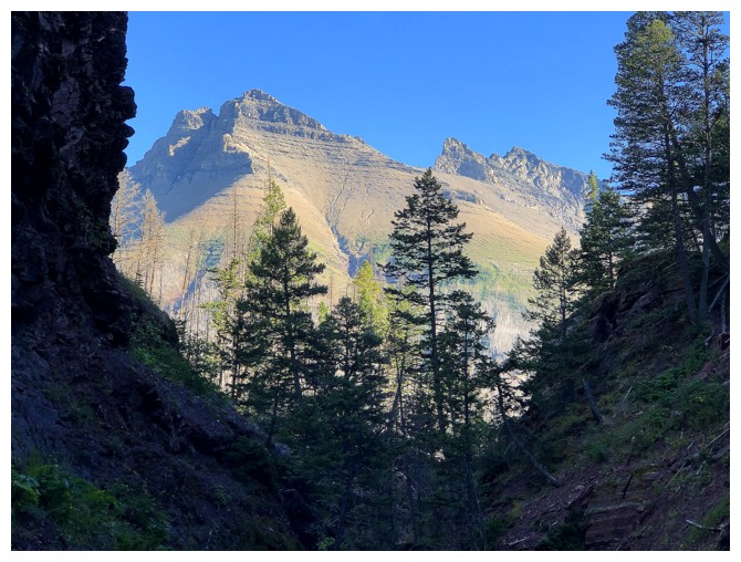
The east end of Mount Blakiston
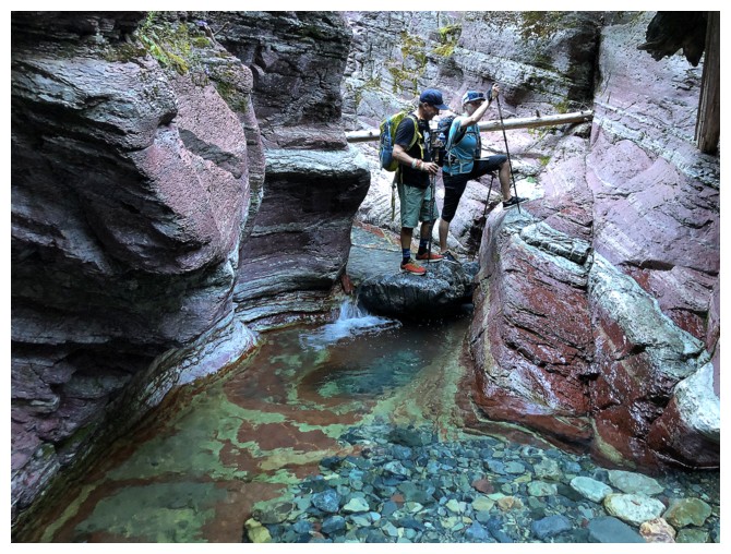
Jill and I chose to keep our feet dry for this section
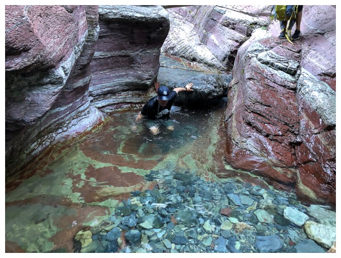
Ryan took a different approach. Click HERE to see.

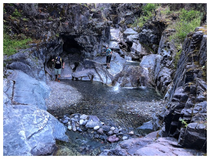
No staying dry here
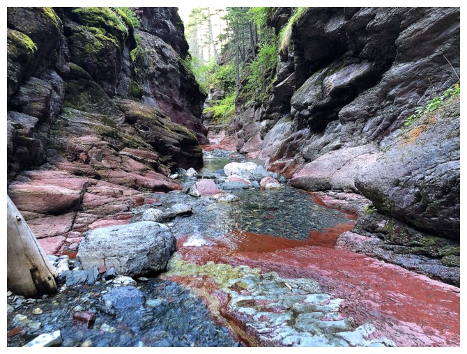
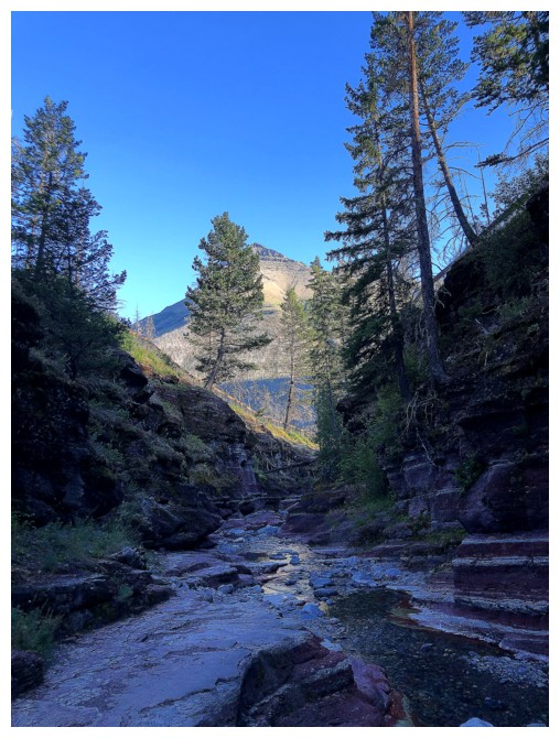
Nearing the end
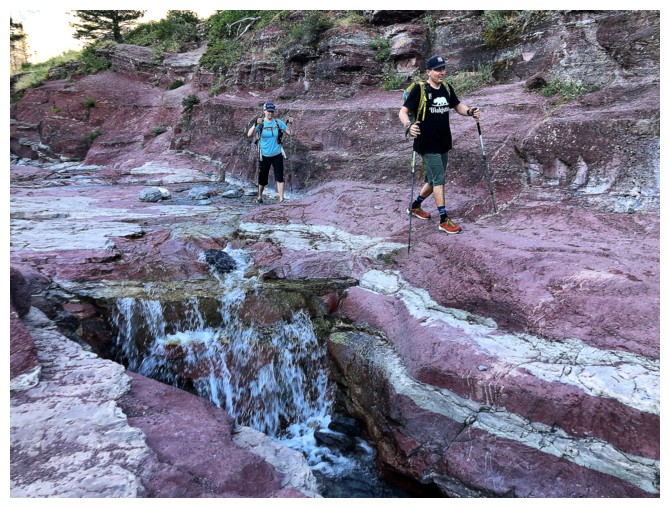
The final few steps in the canyon before reaching the parking lot.
What a fantastic day with two fantastic people. Thank you so much, Jill and Ryan!
The End
LOG


