The Croissant VIII
(and a little beyond)
March 19, 2022
Mountain height: 2307 m
Elevation gain: approximately
500 m
Round-trip
time: 7:10
Solo scramble.
The weather for the weekend looked uncertain
at best. And when that’s the case, front range is usually the way to go. This
is especially true for the Southern Alberta Rockies, and even more
specifically, the East Castle outliers: Yarrow Ridge, The Eaglet, The Raptor, The
Muffin, The Croissant, Woody (and the other Drywood outliers), Cinch Hill,
Bridle Peak, and of course the multiple outliers of Prairie Bluff. Each of these little summits offer amazing scenery, generally easy ascent
routes, terrific summit views, and seemingly infinite opportunities to explore.
 And perhaps The Muffin and The Croissant represent the epitome of these characteristics.
Each time I feel I have thoroughly explored all routes up these outliers
something new pops up.
And perhaps The Muffin and The Croissant represent the epitome of these characteristics.
Each time I feel I have thoroughly explored all routes up these outliers
something new pops up.
Such was very much the case for the day’s
adventure. The plan was to hike the gas road until a promising route revealed
itself. That didn’t take long. About a kilometre past the “normal” route, I
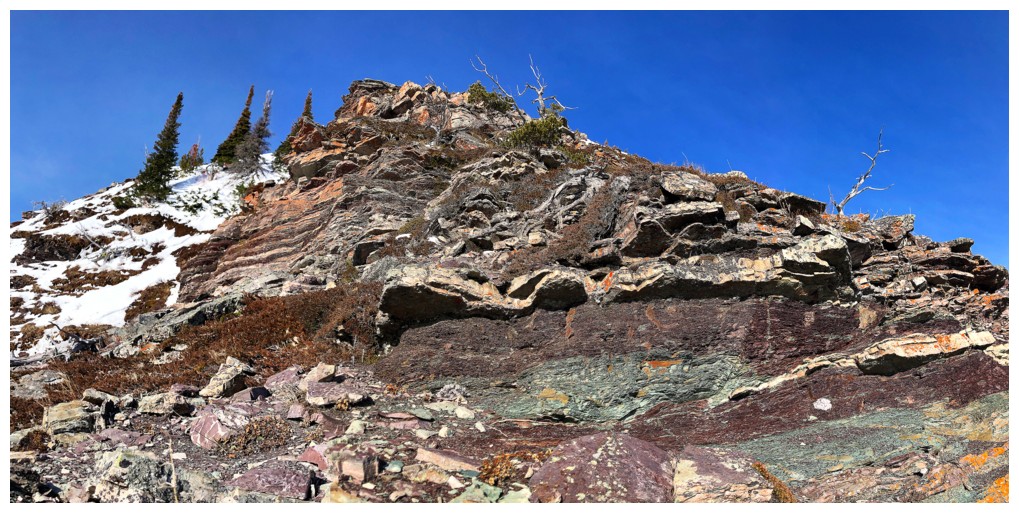
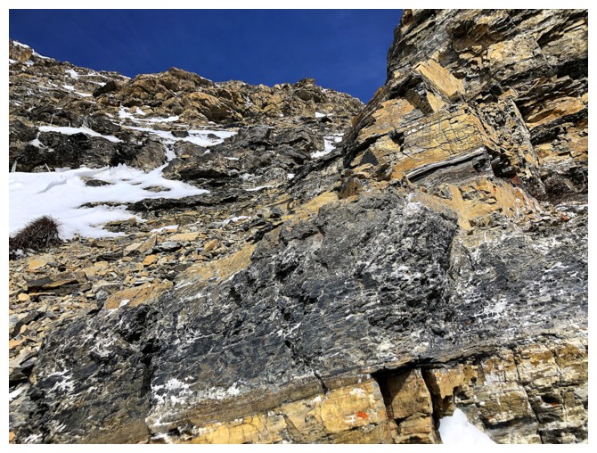
spotted a small but very colourful rock band, high on the slopes above the
road. Unseen from the road, however, was an extensive section of equally
colourful and super interesting rock below that rock band. As such, I ended up
taking an abnormally circuitous route to get to the upper rock – not because
the terrain was difficult to ascend, but because it demanded exploration.
Above the stunning rock bands familiar
terrain awaited. The route soon joined up with another one of the “normal”
routes up and the summit of The Croissant was reached with ease.
Given that the great weather was still
holding, I couldn’t resist a quick run up the first section of Bakery Peak (the
first prominent summit on the east end of Loaf Mountain). The ascent remains
one of my favourite scrambles in the Southern Rockies, although I had no
intention of trying to make the summit on this mid-March day.
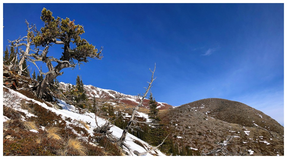
Passing the almost vertical east face of the
first highpoint was a little nostalgic, recalling a spell-binding traverse
under the amazing rock, with Dave in 2021. From the highpoint, I did continue
up the ridge for a couple of the steep steps but backed down when the ridge
became too snowy.
For descent, I decided to see if I could
follow the highpoint down its other side. The attempt didn’t last long. There
were drop-offs all over the place that I couldn’t downclimb. Still, as expected
the rock scenery was terrific and lower down, I was able to traverse around to
the side of the rock band that Dave and I had descended. A very easy ramble
back down to the road followed and then an even easier hike back to the start.
An excellent day of exploration on what
continues to be the “gem of the outliers” in the East Castle.
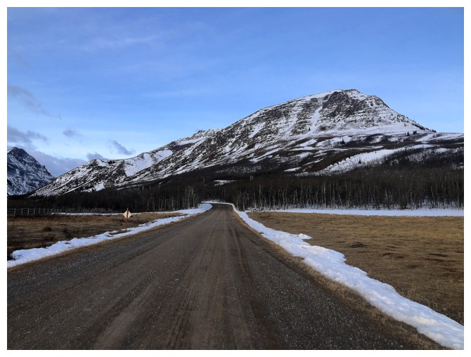
At the start of a gas road that I know oh so well!
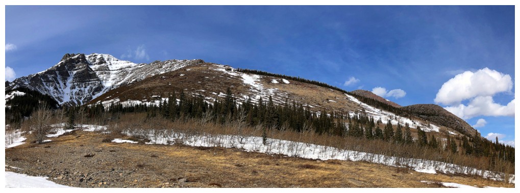
The first drainage that provides access to two drainages between The Muffin and The Croissant
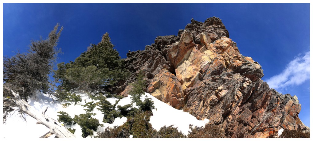
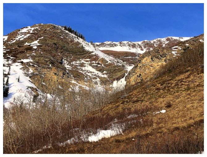
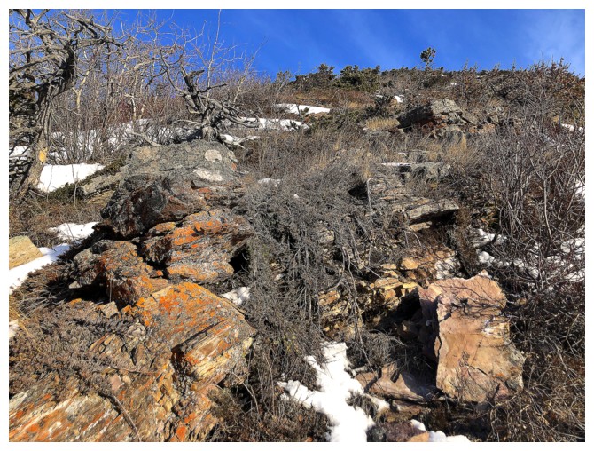
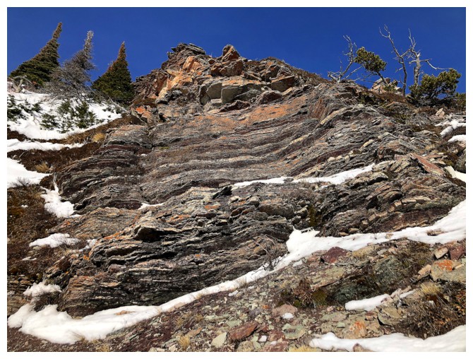
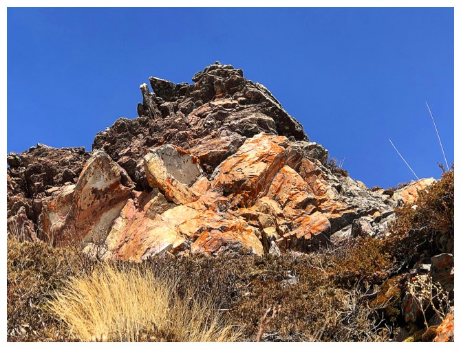
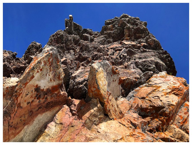
Close-up of the colourful rock that lured me
Part of the fantastic Spread Eagle to Spionkop traverse
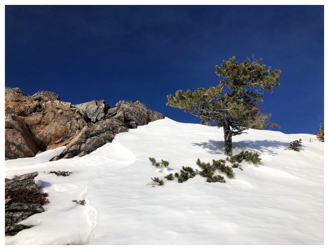
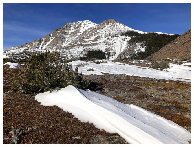
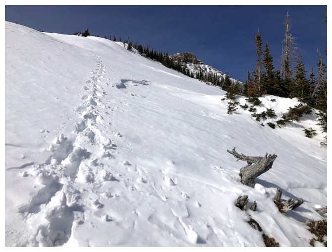
Easy terrain to start the ascent
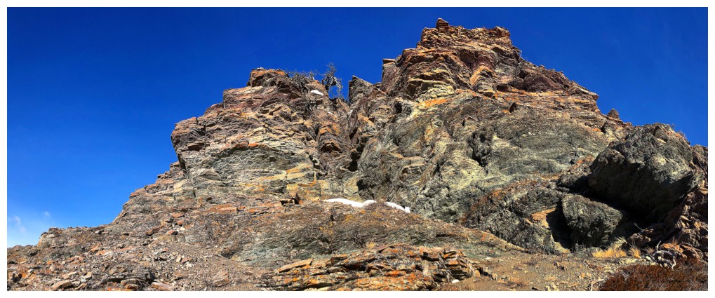
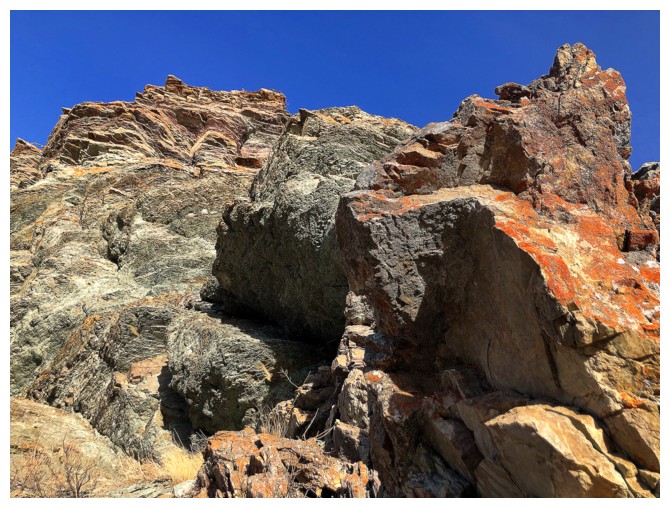
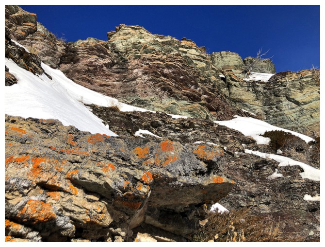
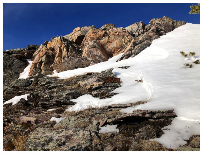
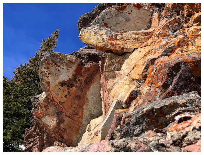
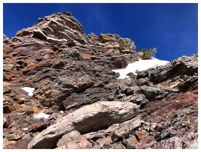
Approaching the first of a zillion colourful rock features!
#1
#2
Still part of #2
Same as above
Moving on
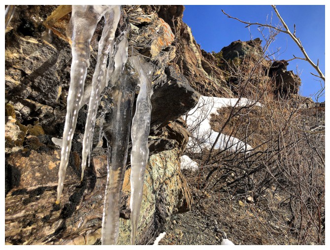
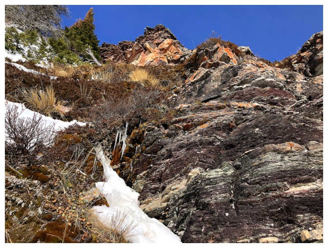
Unfortunately, this trip didn't have many super cool ice features, like The Croissant VI. This was all I saw.
#3
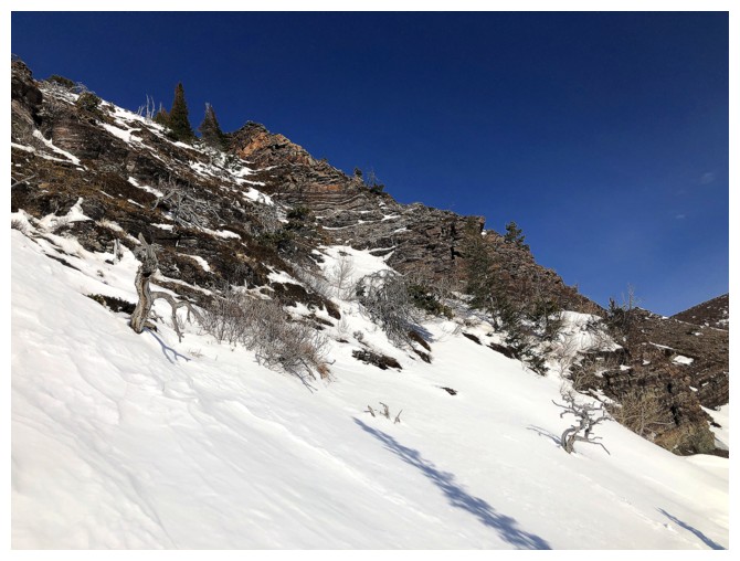
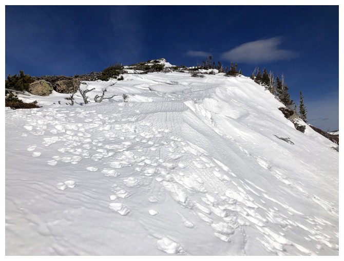
Time for crampons and an ice axe. The snow was rock-hard and the grade steeper than it looks.
I stopped counting at this point!
A better indication of the steepness of the slopes
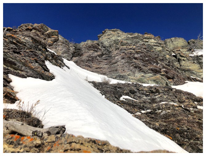
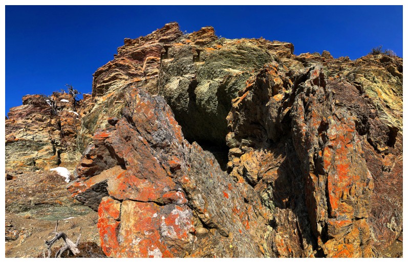
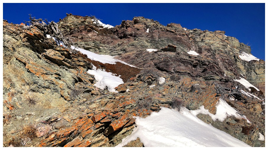
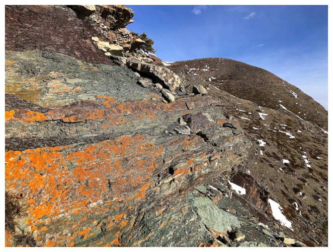
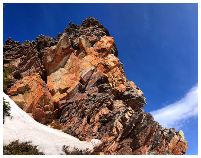
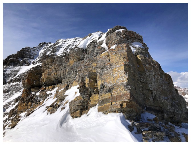
Finally traversing towards the rock band that lured me in the first place
Zoomed in photo of the colorful band
Still lots of exploring before I reach it
Traversed way over to the east side first
Around the corner, The Muffin is visible
There was a route straight up from here but it would bypass the rock band I came to see
Heading back to the left
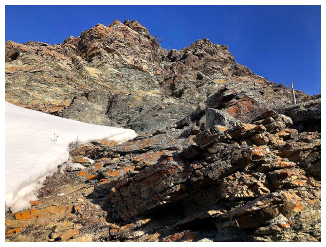
Finally getting close
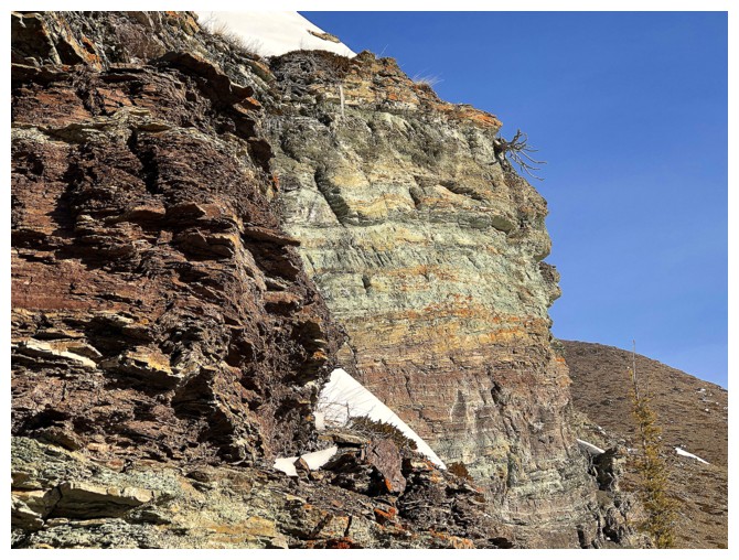
There is it and disappoint, it did not!
Ouch!
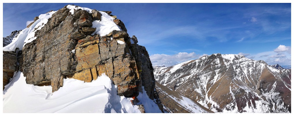
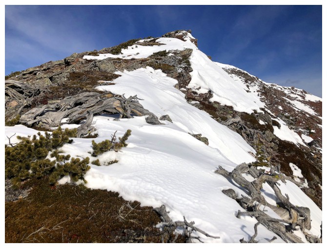
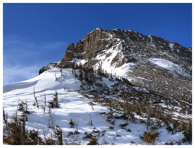
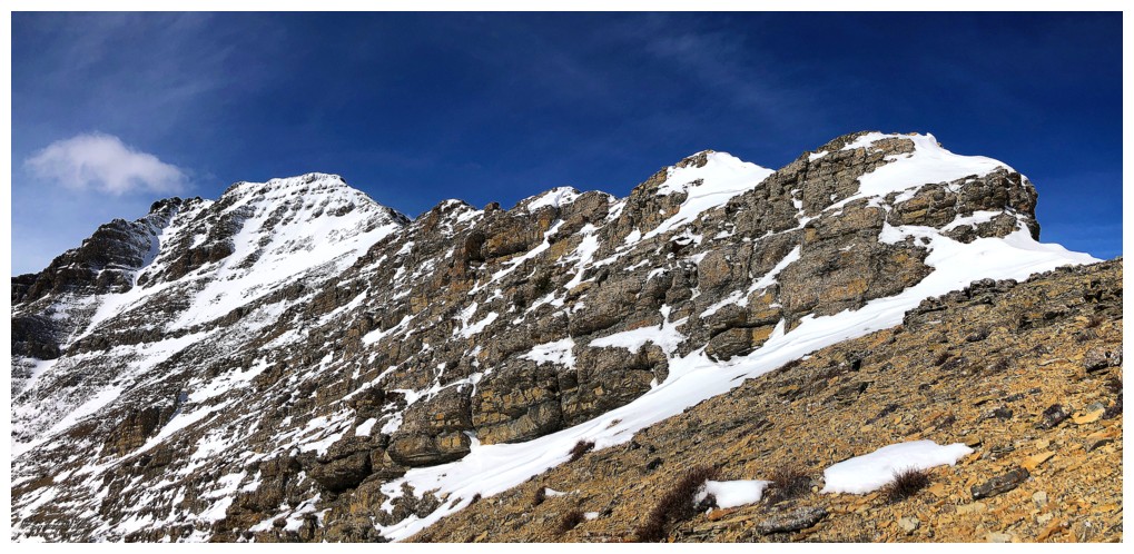
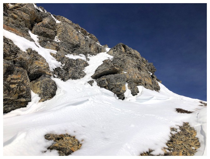
Snowy slopes above the rock band lead to the south ridge of The Croissant
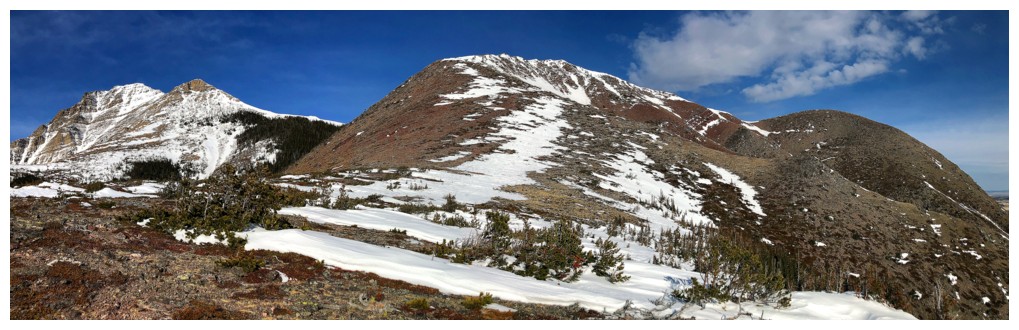
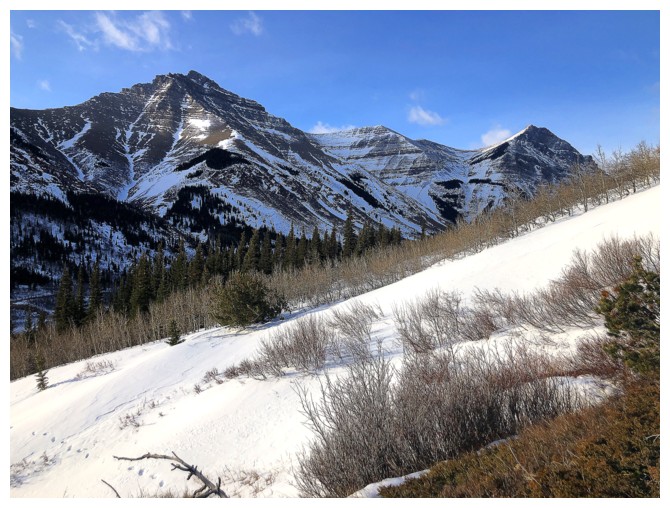
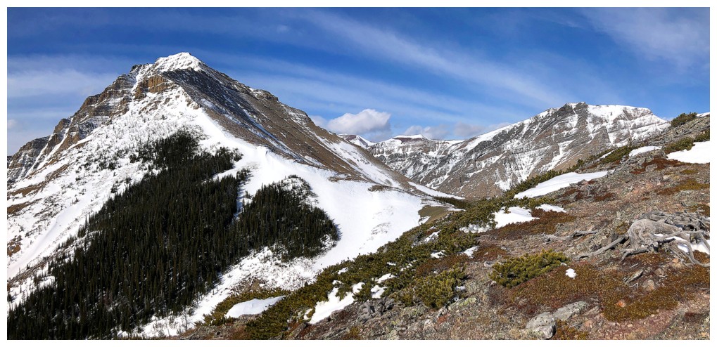
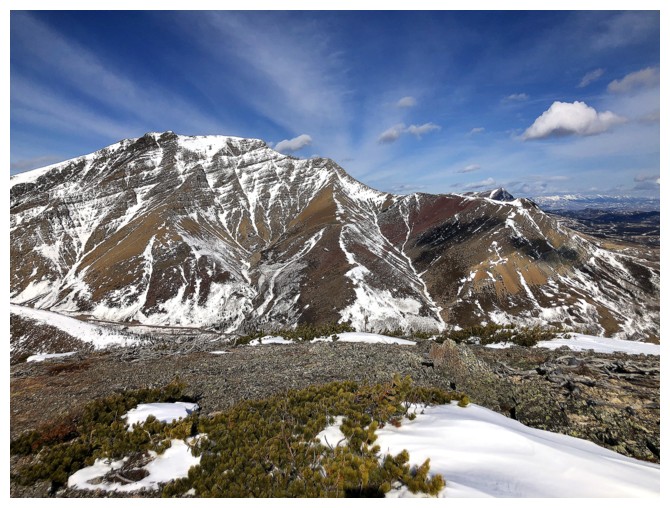
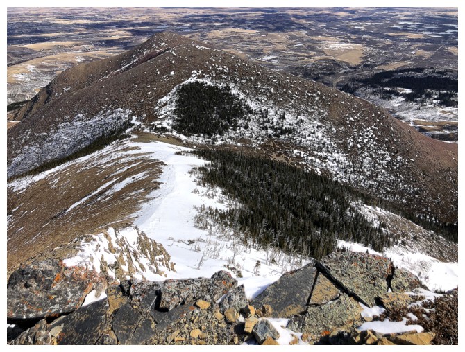
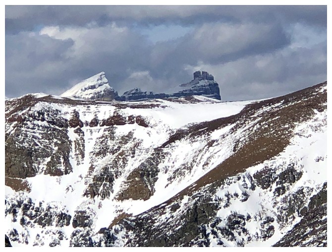
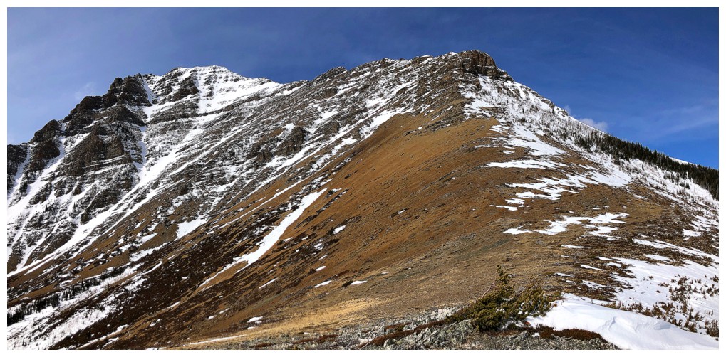
Three of my (tasty) favourites in the Rockies: Bakery Peak, The Croissant, and The Muffin
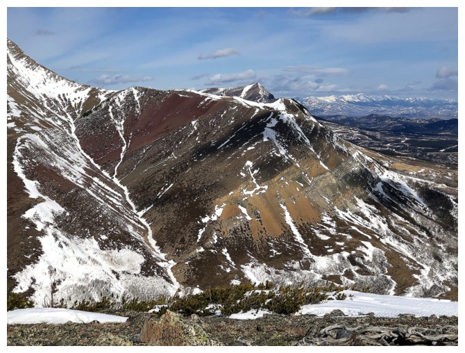
Bakery Peak - a wonderful scramble via its east ridge
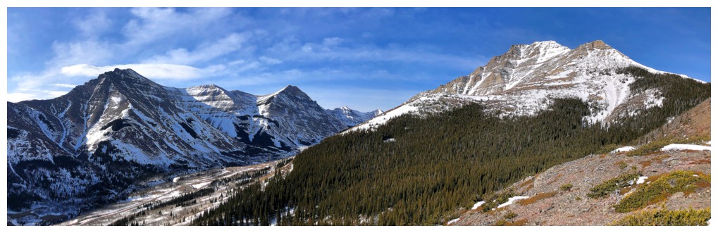
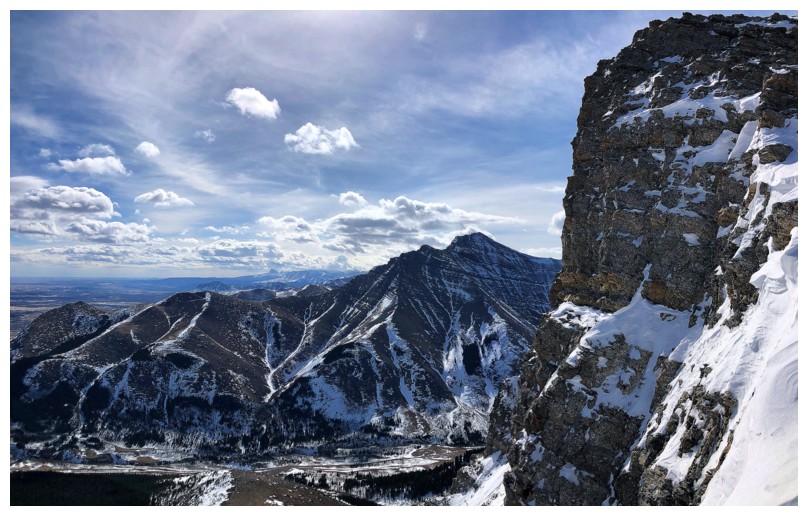
Bakery and Spionkop
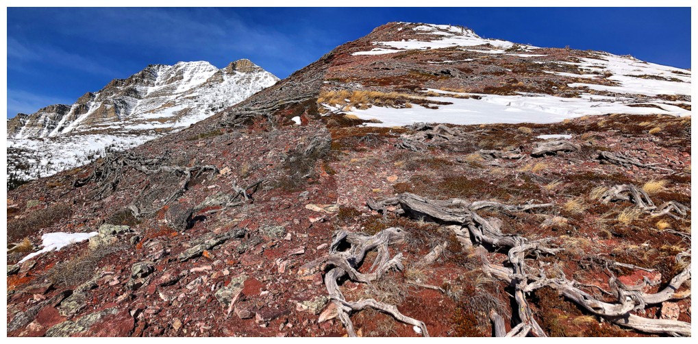
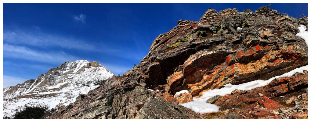
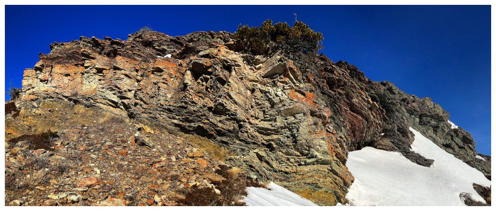
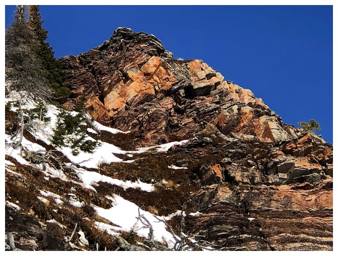
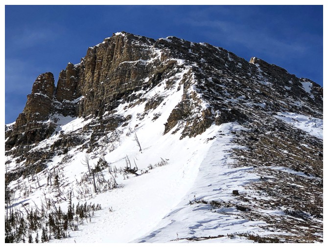
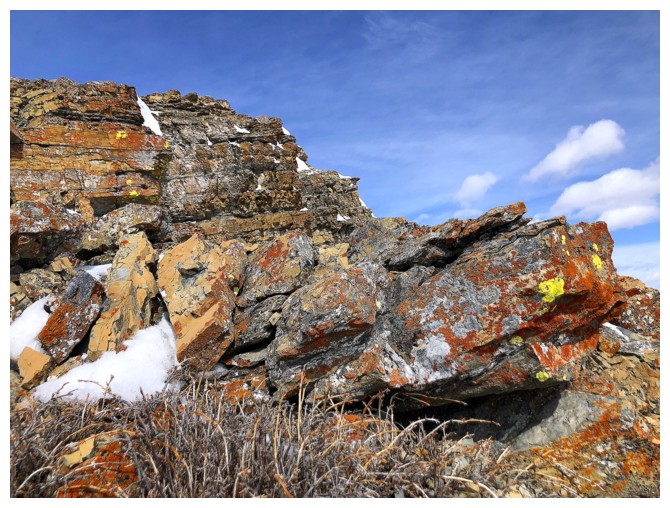
The Croissant is teeming with red argillite - definitely a motivating factor for my 8th visit
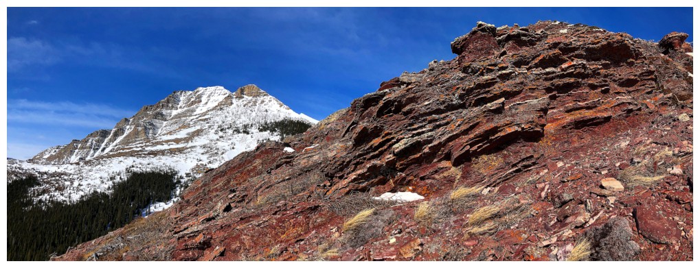
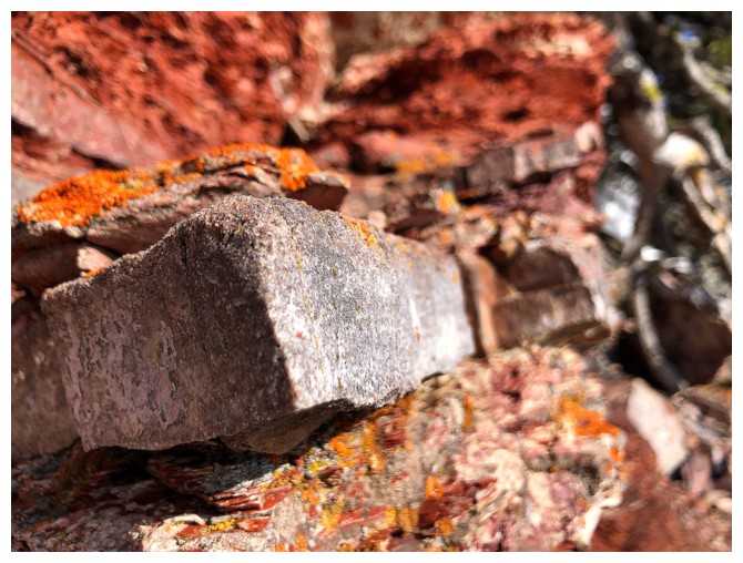
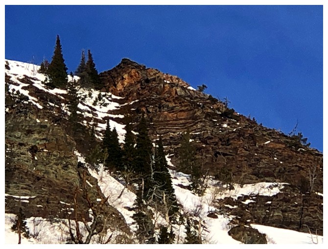
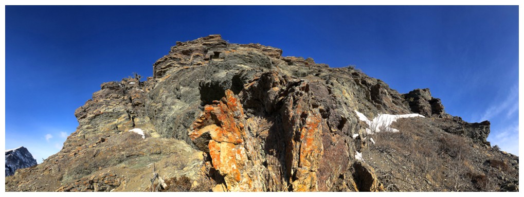
Have to get at least one close-up of the magnificent rock
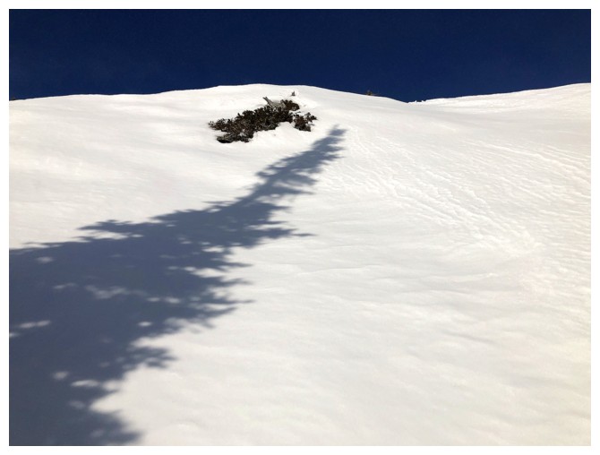
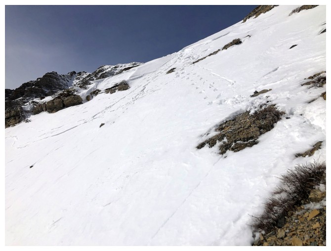
Lots of tracks in the snow - none of them human
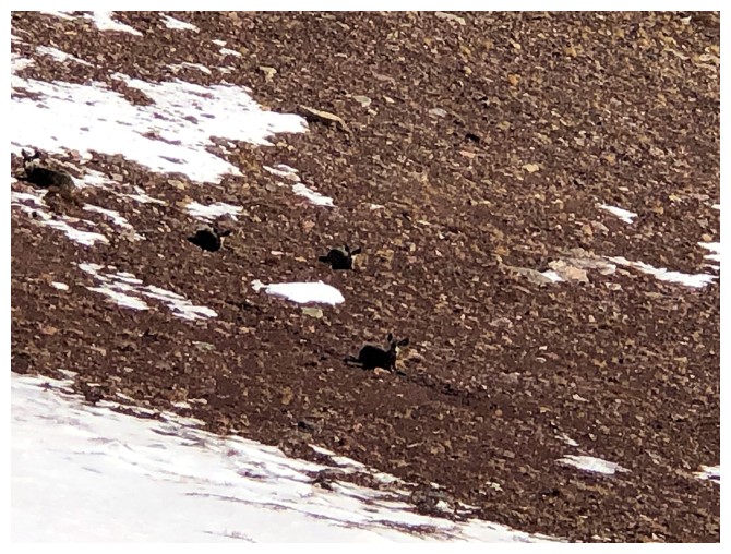
Possibly the tracks of these individuals who stared at me intently throughout the ascent of the ridge
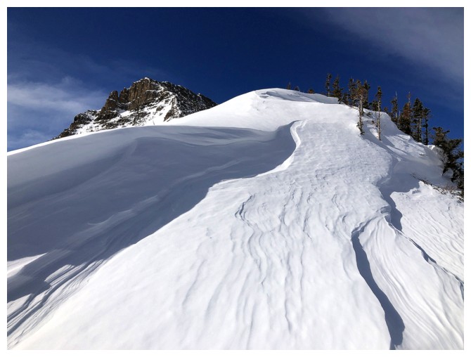
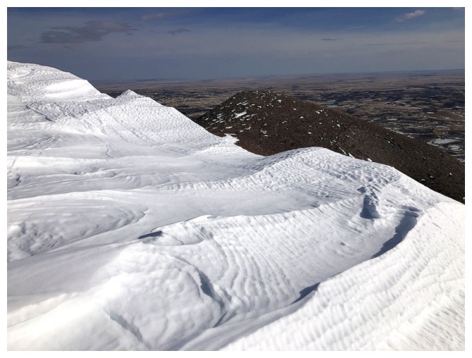
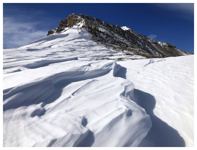
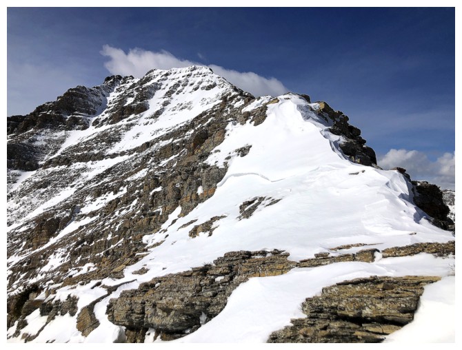
Approaching the summit. I was hoping for some cool cornice scenery here
but a very warm mid to late February took its toll on the snow.
Bakery is beckoning, but is usually too snowy at this time of the year
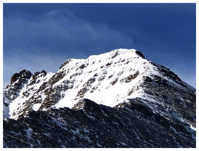
The only cornice is right near the summit
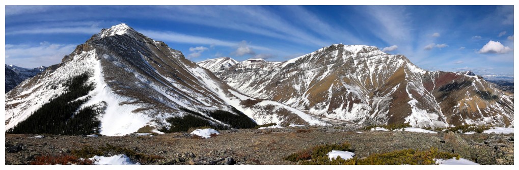
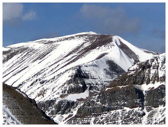
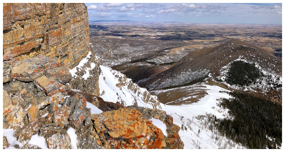
Summit view. Drywood Mountain at the right.
Drywood and it's outlier, Woody, at the right
Like The Croissant, Woody has innumerable ascent routes to its summit
Snowy Bakery
The west summit of Drywood
Heading up the first section of Bakery
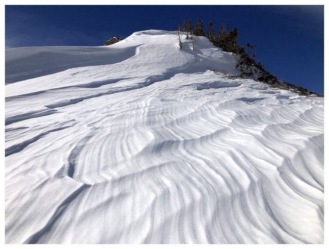
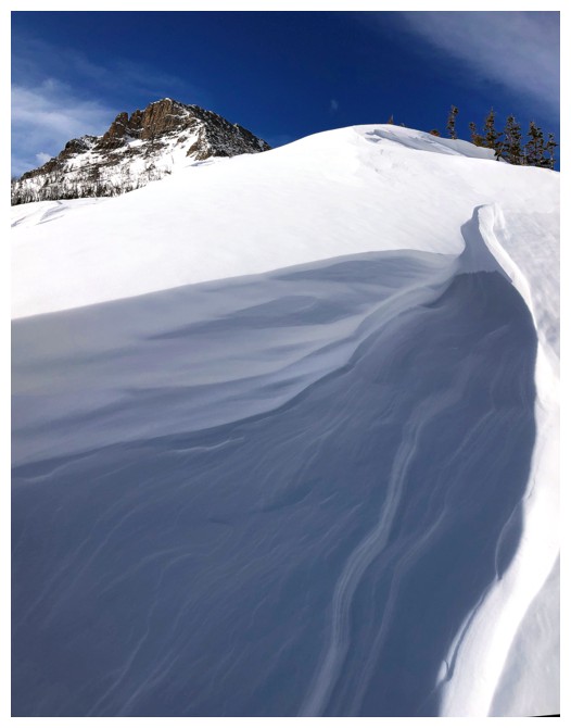
There was some interesting wind sculpted snow along the way
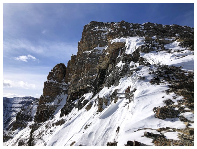
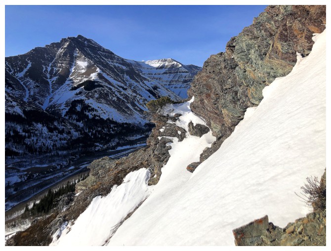
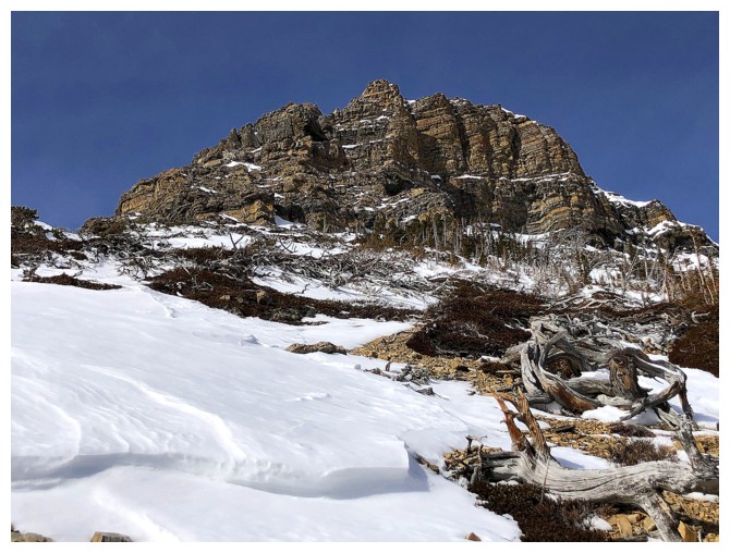
Approximately where Dave and I detoured left to check out this awesome rock face
The infamous "A" at the lower right
Passing the vertical face
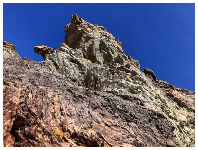
Nearing the top of the first highpoint
Continuing past the highpoint
Windsor Mountain and Castle Peak
End of the line for the day
Descending the other side of the highpoint
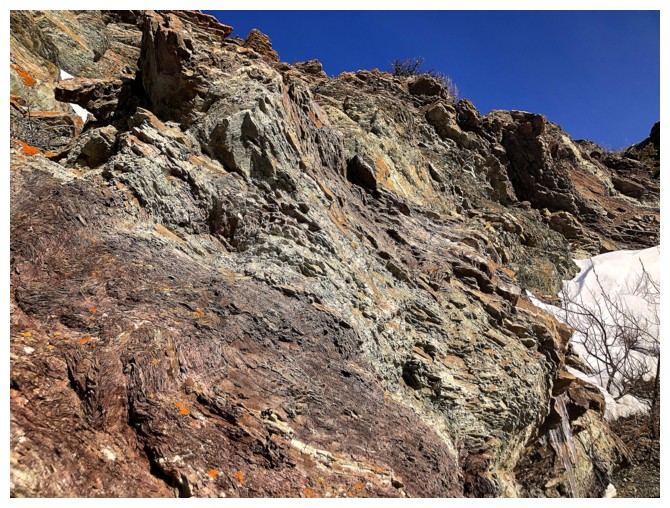
No shortage of colourful, lichen-covered rock on this route either
Nice to see the rock face from the other side
Typical terrain on descent
Onto easier terrain and some nice snow to descend
Looking back at the first highpoint
Looking back at much of the descent and Bakery
Another pleasant snow slope
Back at the gas road
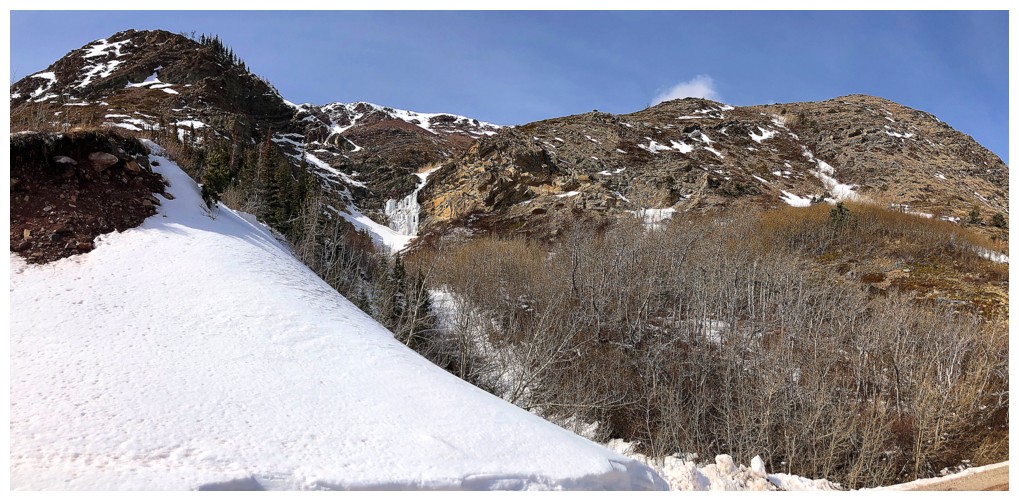
Passing the first drainage
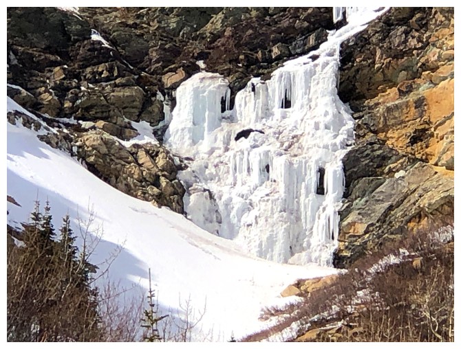
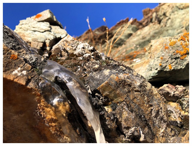
The frozen waterfall in the drainage. Yes, people do climb it.
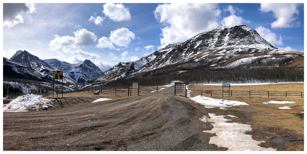
Back at the trailhead, with the predicted clouds finally starting to roll in
The End
LOG