Drywood Mountain IX
June 8, 2026
Mountain heights: 2164 m, 2464 m
Total elevation gain: approximately 1200 m
Ascent time to
The Gasser: 3:35
Traverse time
to Drywood: 1:15
Descent time:
3:15
Solo scramble.
With most of
the snow now melted and clear skies predicted for the day, I felt another stab at The Gasser Outlier
was warranted. 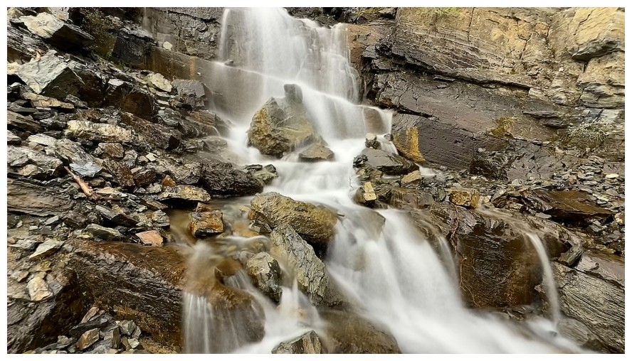 A first attempt, with Dave and Brad, had been thwarted by
blustery weather and dangerous snow conditions. Time for Round 2.
A first attempt, with Dave and Brad, had been thwarted by
blustery weather and dangerous snow conditions. Time for Round 2.
The lack of snow also allowed for a quick and easy bike approach to the
base of the route. In addition to attempting the Outlier, I also wanted to
check out the pinnacled ridge, left of the initial ascent gully. As such, I
veered off immediately into the gully instead of following the water course
that leads to The Gasser ice climb. The direct route didn’t last long. My
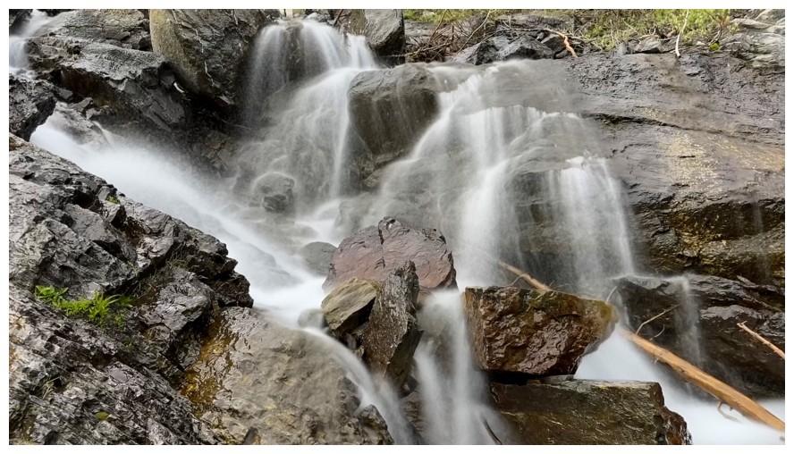
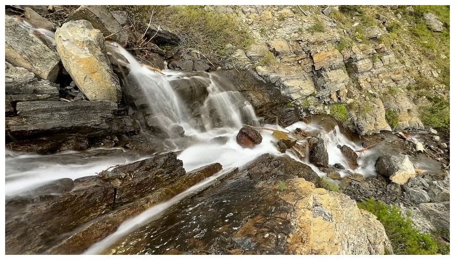
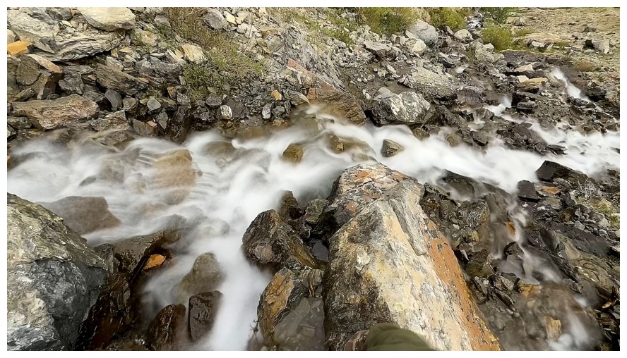
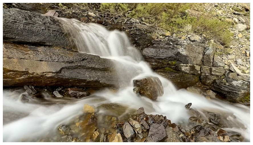
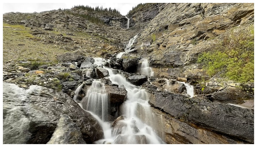
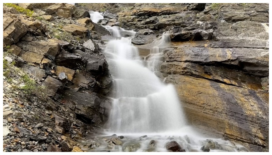
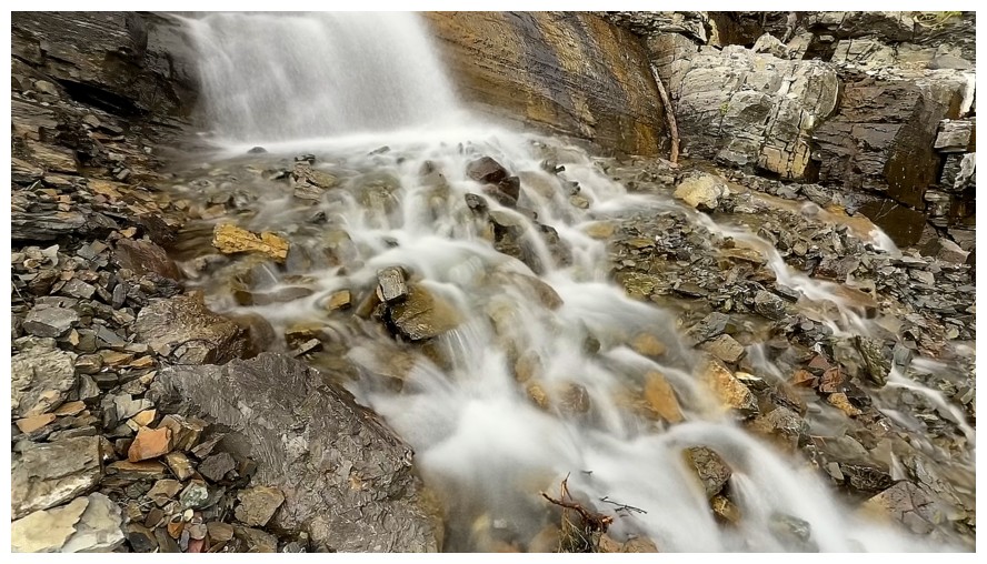
obsession with seeing cascades and waterfalls up-close and then taking a
million long exposure photos of them grabbed me by the “you-know-what” and
suddenly I was going in the wrong direction, over to the falls.
Once satiated, I traversed back over to the ascent gully.
Unfortunately, the perfect weather forecast had yet to materialize, my
motivation to go up to the pinnacles suffering the same fate. I did eventually
go in that direction, simply for experiencing a different line and scenery. 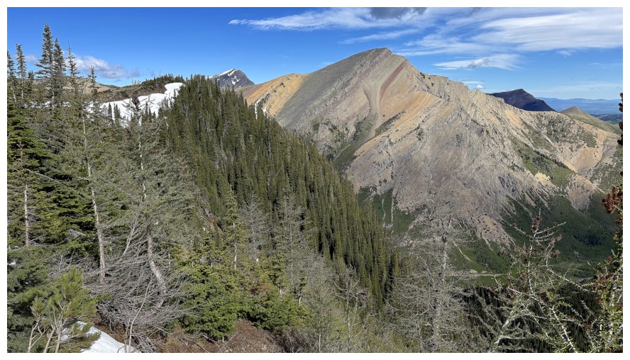 The
diversion was pleasant but not mind-blowing.
The
diversion was pleasant but not mind-blowing.
Above the pinnacles, it didn’t make sense to continue up a ridge that
was trending away from the objective. Instead, I lost some elevation and
traversed towards the outlier, following the line our trio had used in March.
The route up to The Gasser Outlier ridge from this point looked to be very
steep but doable. Completely avoiding the remaining snow would be difficult –
good thing I brought crampons and an ice axe.
I made it about a third of the way up before the snow/ice equipment was
needed – and in a big way! The upper slopes were plastered in steep, hard snow.
The last 20 m of terrain to the ridge required aggressive step-kicking and
using my ice axe as an ice tool. Once on the ridge, the mostly treed summit was
not far off. Fortunately, excellent views were to be had from several points
just below the highpoint. And, by this time, the perfect weather had
materialized, exponentially increasing my enjoyment of the unique views.
Click HERE to skip the photos and continue to the next part of the trip.
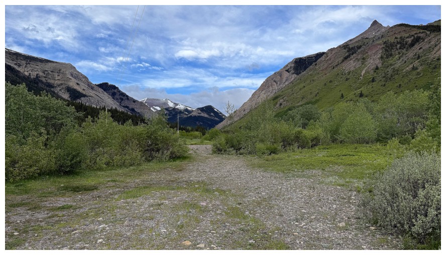
At the trailhead. The Gasser Outlier is second from the left.
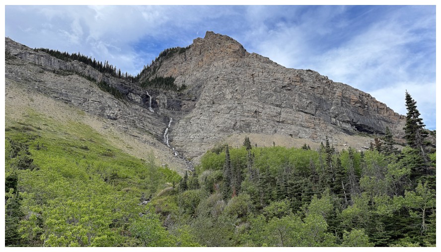
The Gasser Outlier. Obviously the route does not go up this side.
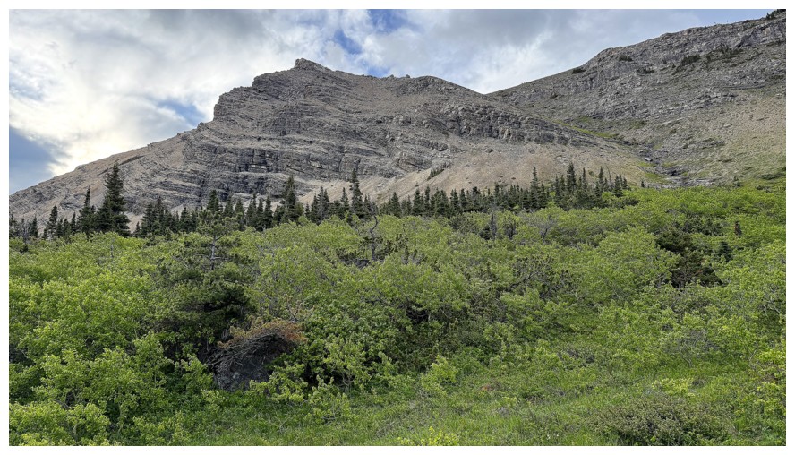
The ascent gully goes from right to left, but the route I want to take follows the ridge above the gully.
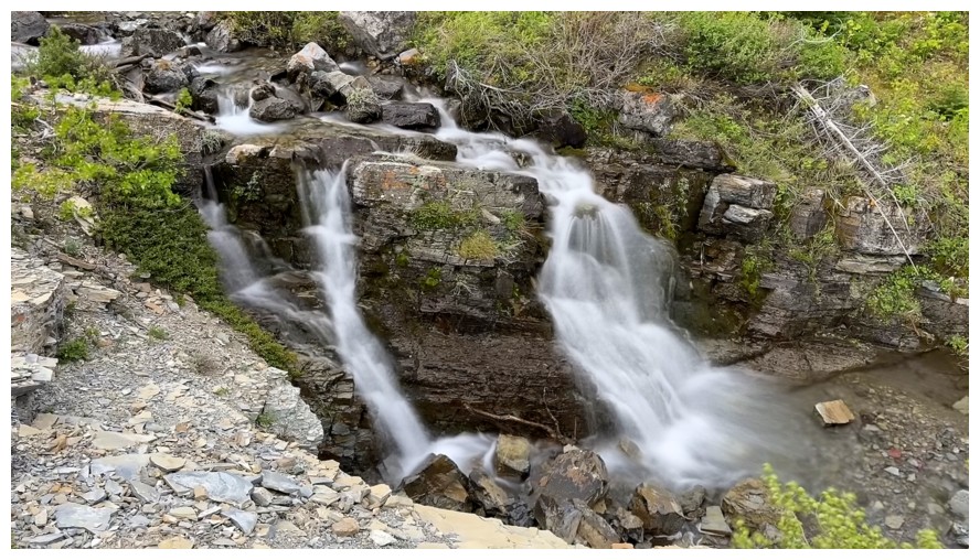
Quick look at the creek before I head into the gully
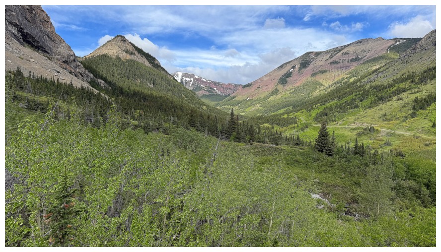
View up the valley
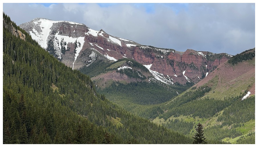
The southwest summit of Pincher Ridge
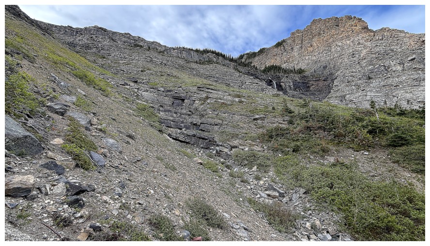
In the ascent drainage and heading up
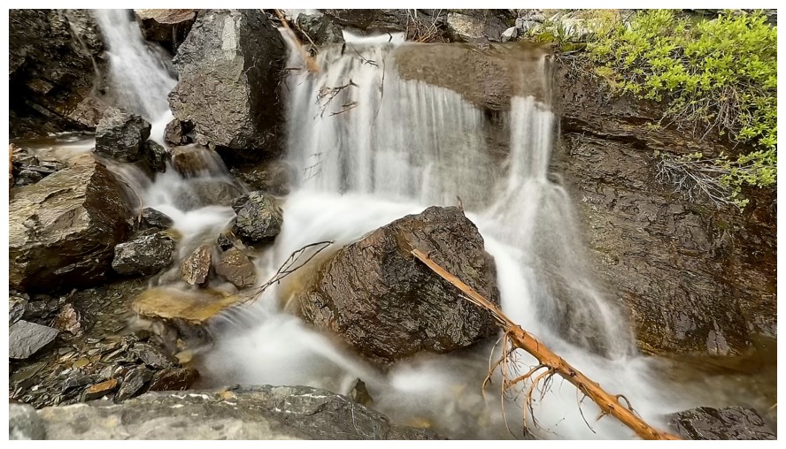
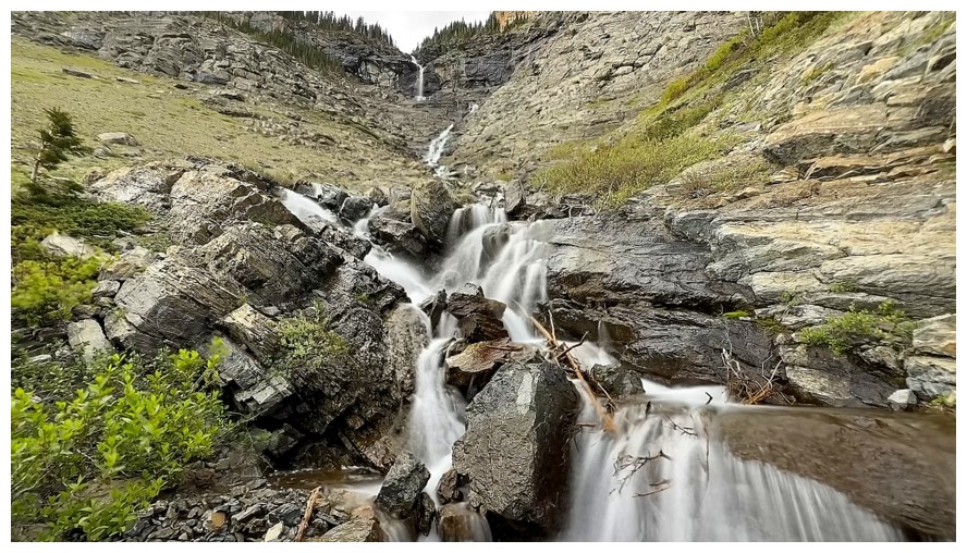
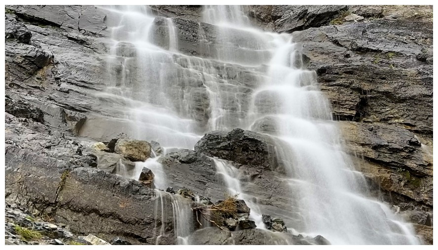
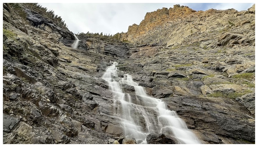
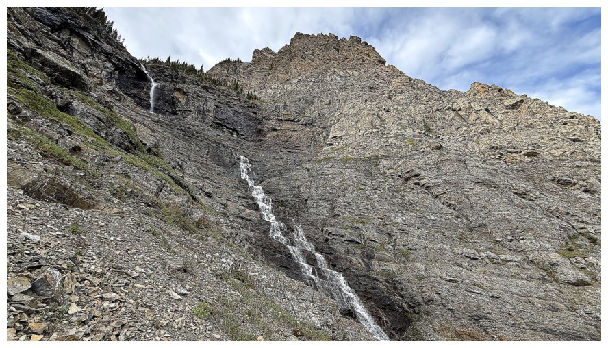
But no! Suddenly I'm back at The Gasser drainage for an overindulgent and gluttonous round of long exposure photos.
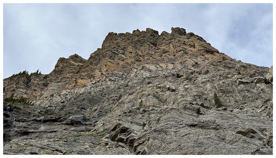
The northeast side of The Gasser Outlier
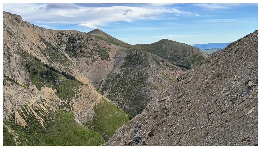
Bridle Peak and Cinch Hill in the background
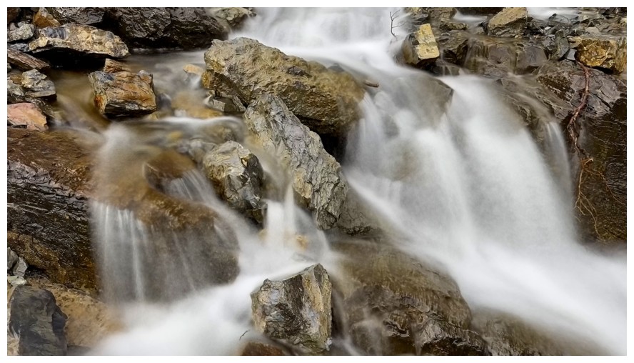
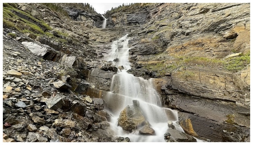
Leaving the watercourse
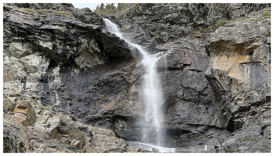
The majority of the water forms the ice climb Fluffy Saves the Day
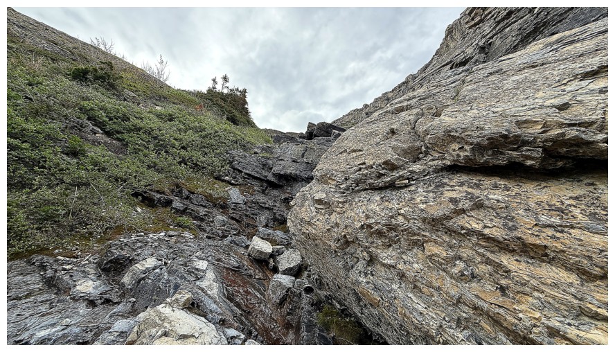
Back in the ascent drainage
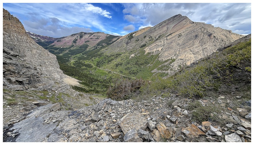
The first of many terrific views of Pincher Ridge
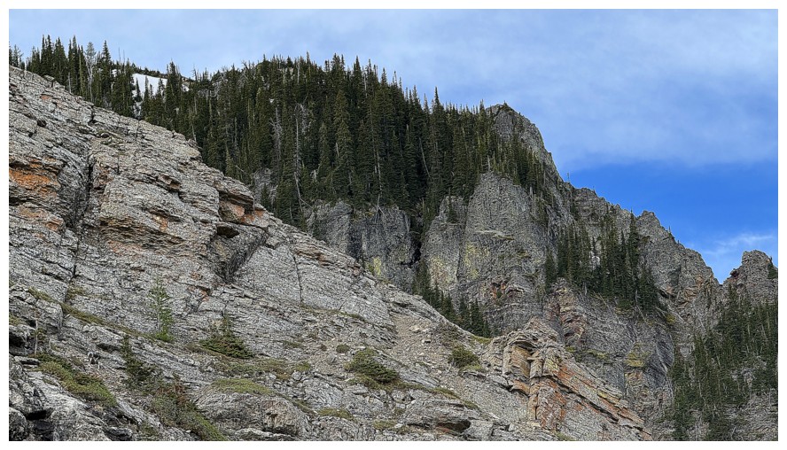
But still fixated on The Gasser Outlier
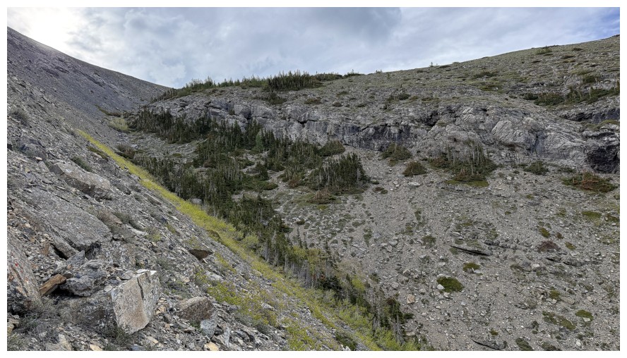
Leaving the gully and gaining the ridge
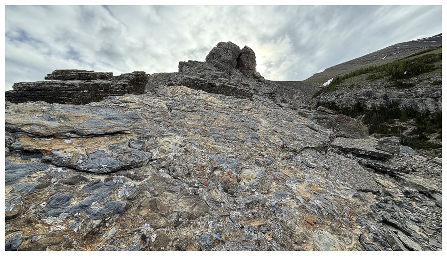
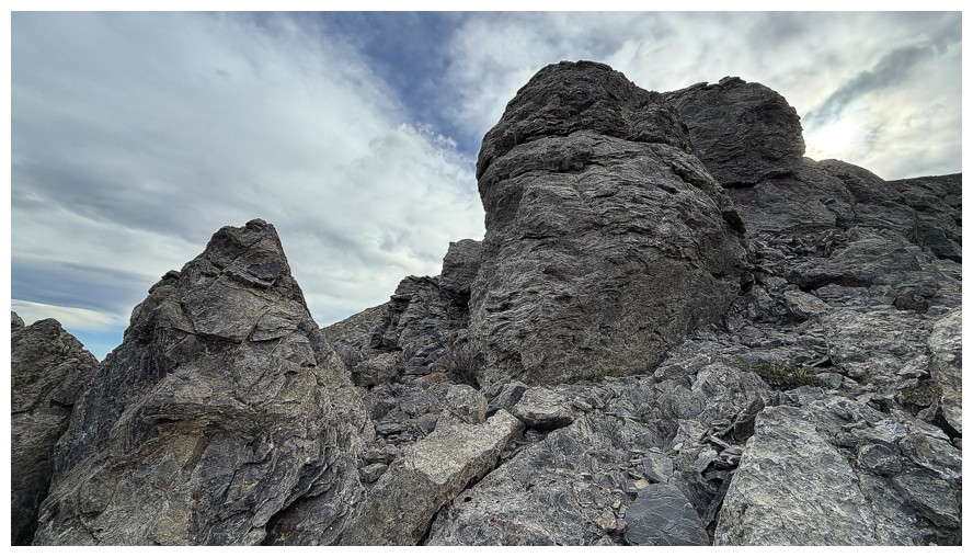
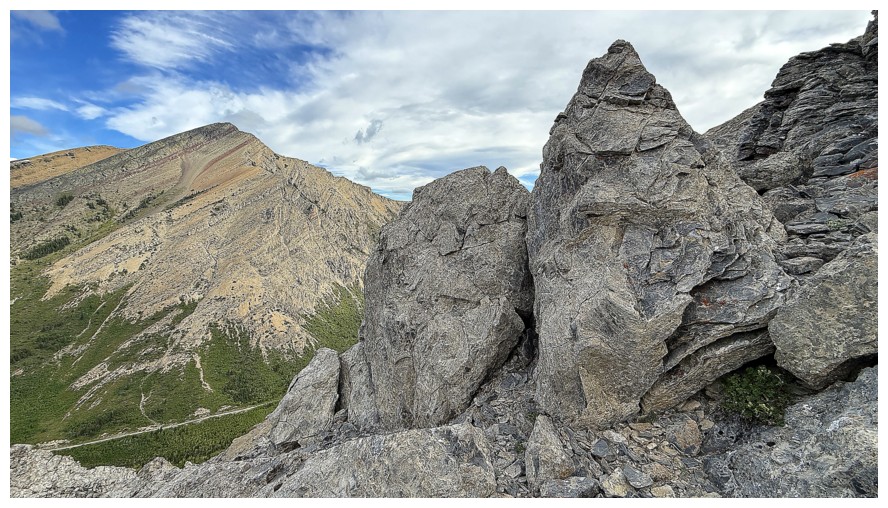
Typical terrain on the ridge
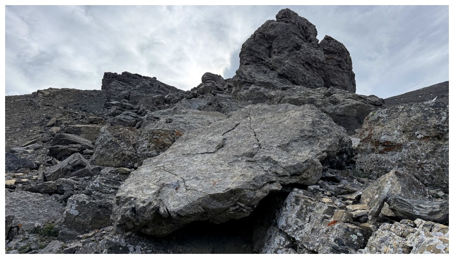
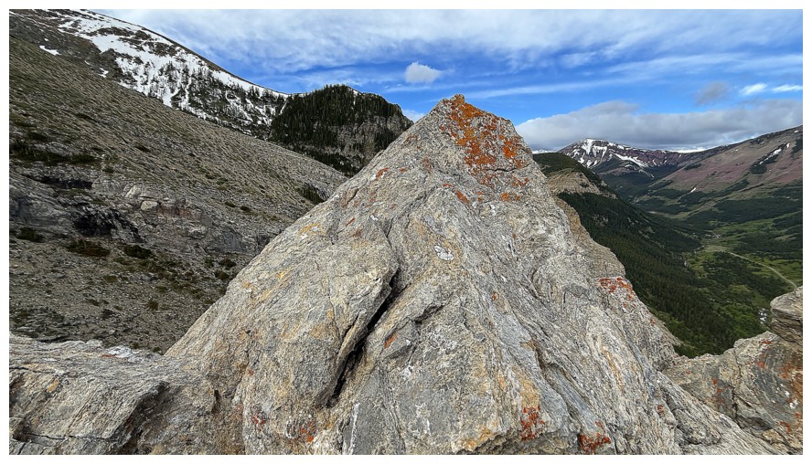
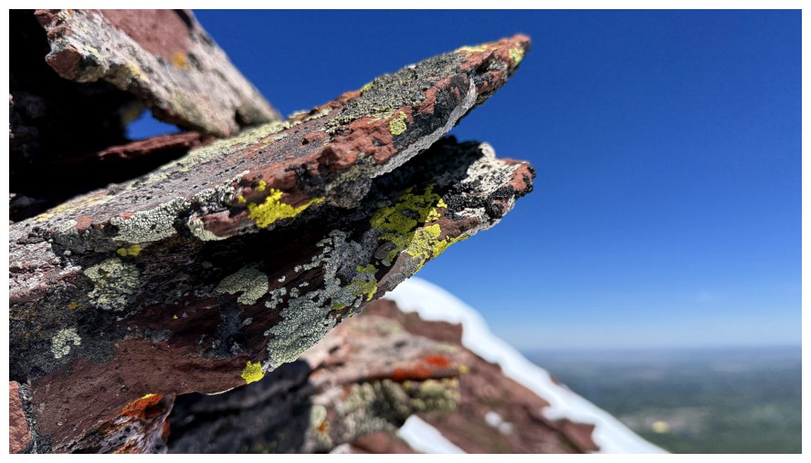
About time I found some lichen!
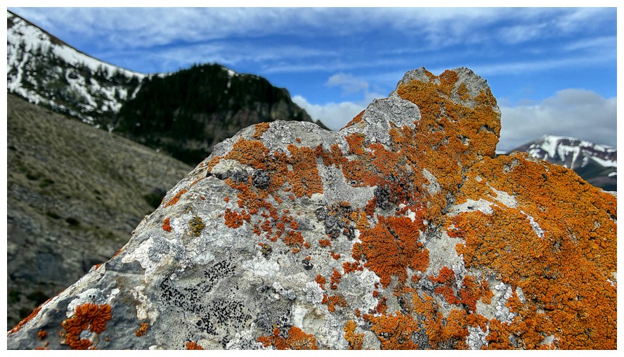
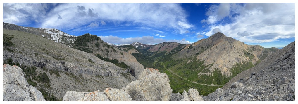
The overall view is getting better
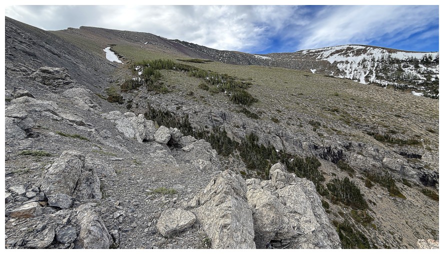
Time to leave the ridge. I need to be way over to the far right.
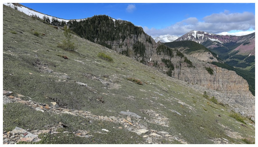
Now on the same route as our previous attempt
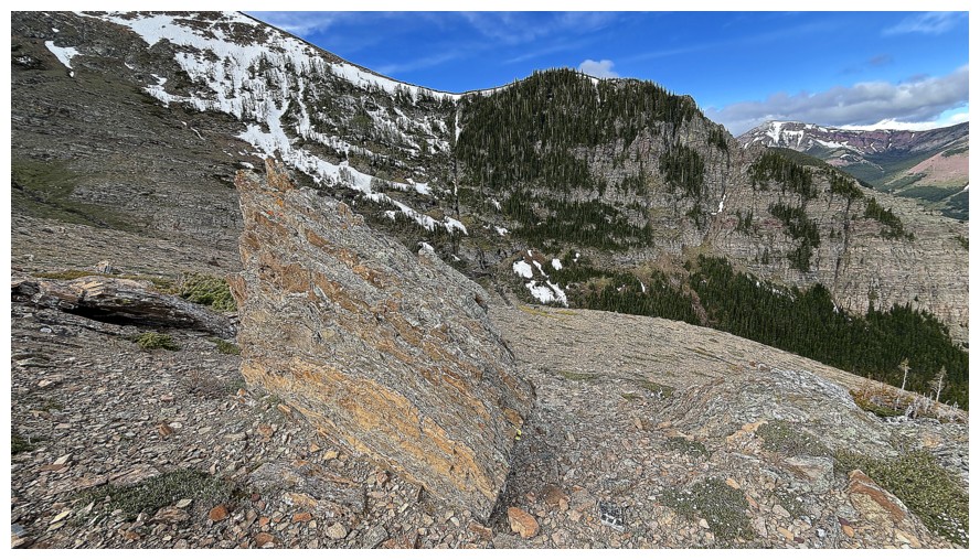
Approximately where we ended our attempt
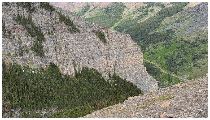
The cool, colouful, near vertical rock near the ice climb
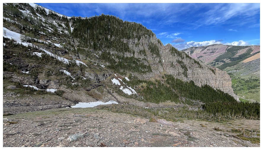
Eyeing up potential routes to the summit. I started up at the drainage
near the left side, but went further left as elevation was gained.
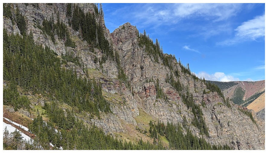
A striking outlier of the Outlier
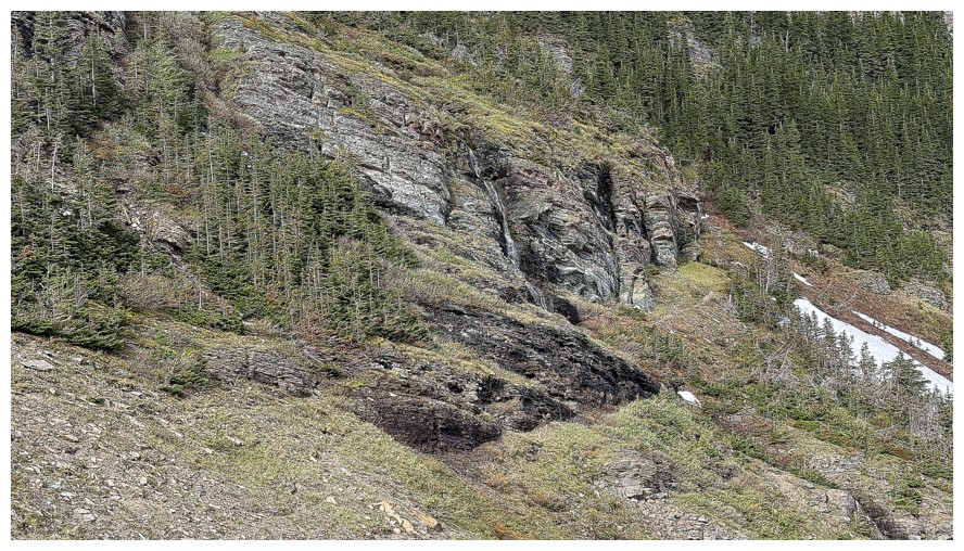
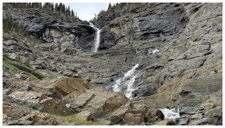
Heading for a waterfall
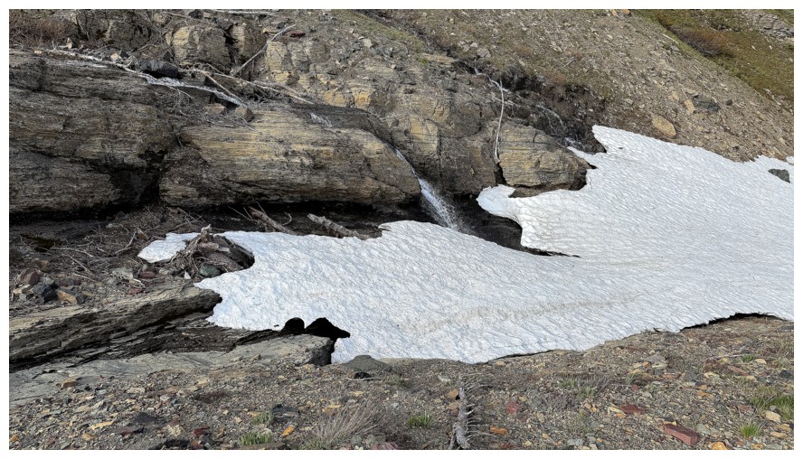
Have to cross a snow patch first
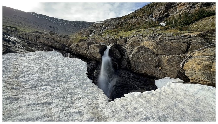
Crossing
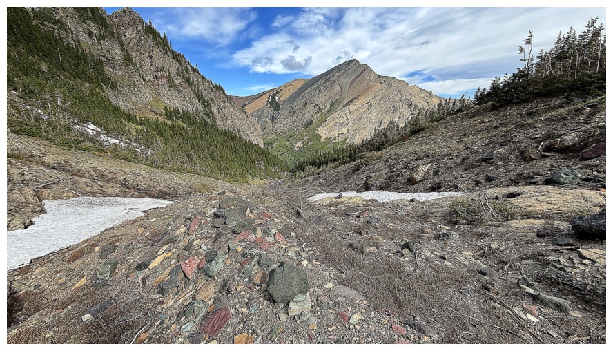
Pincher Ridge again
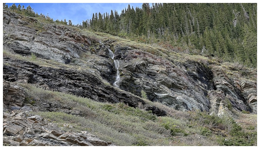
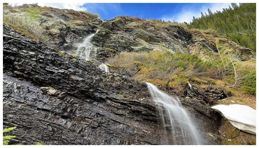
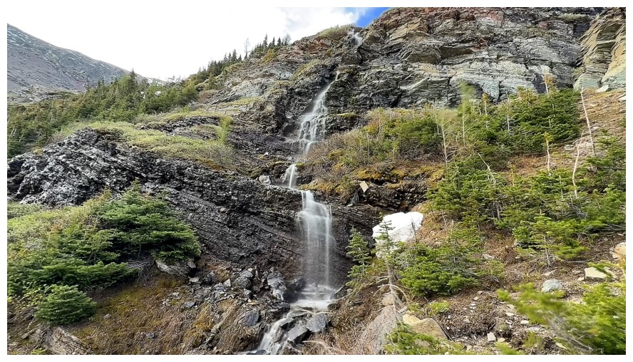
The first waterfall. Not much water coming down, but enough to want an up-close look.
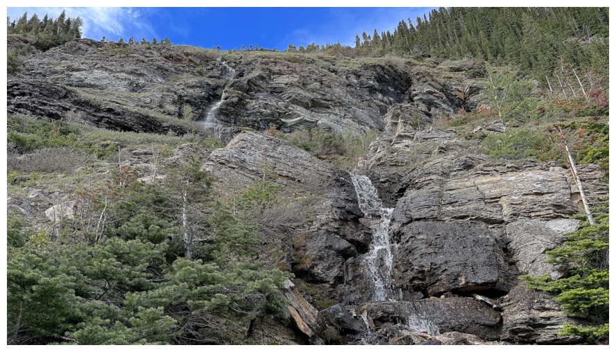
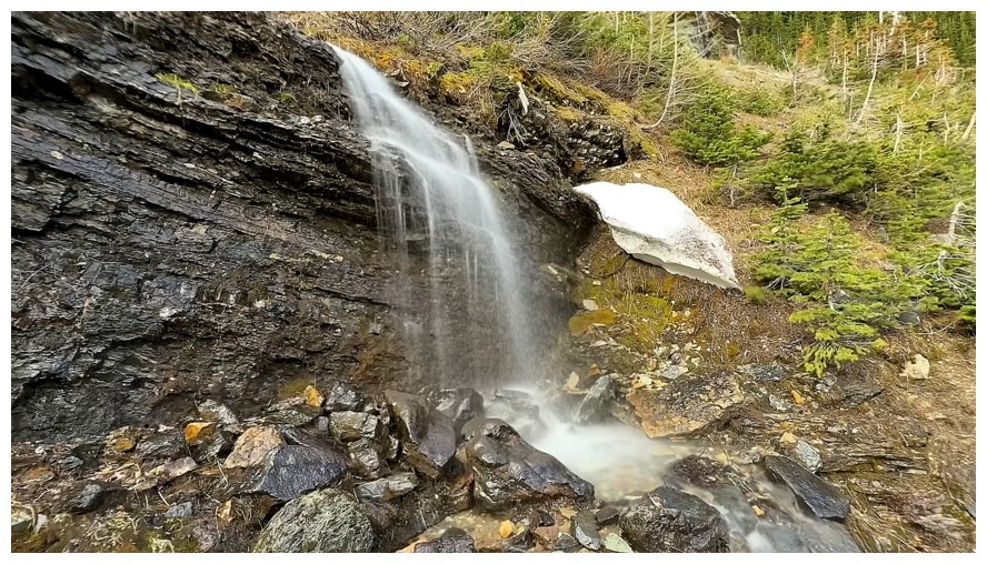
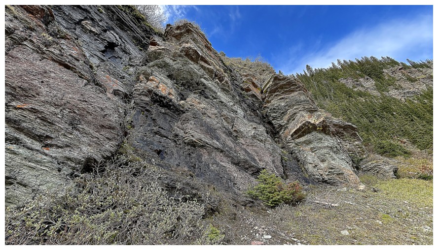
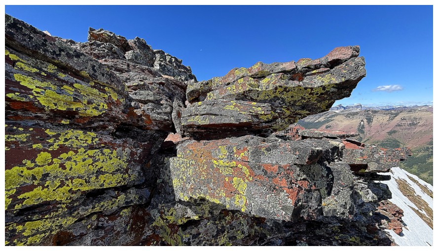
A particularly colourful rock band
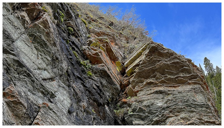
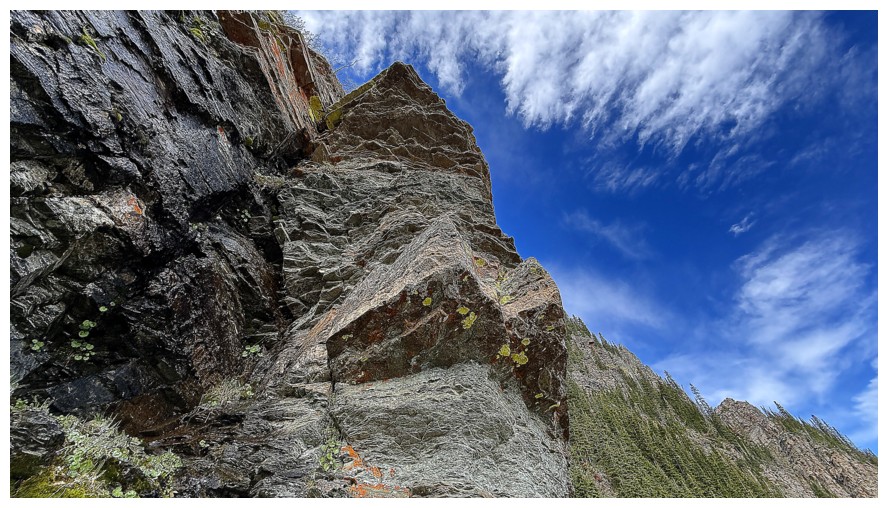
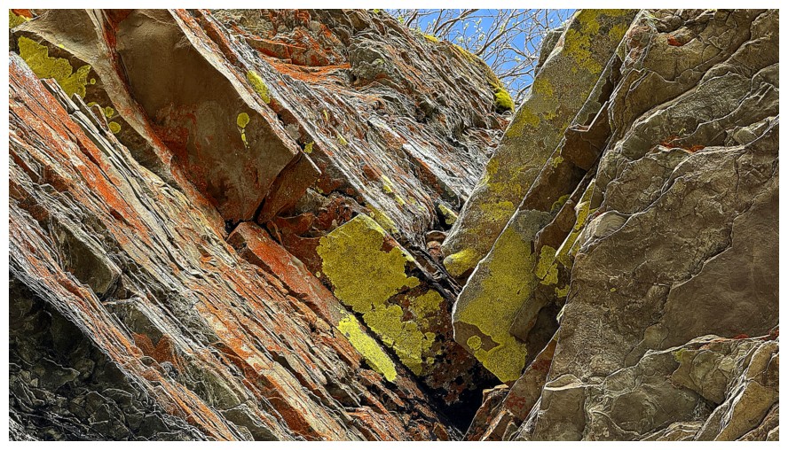
With some lichen
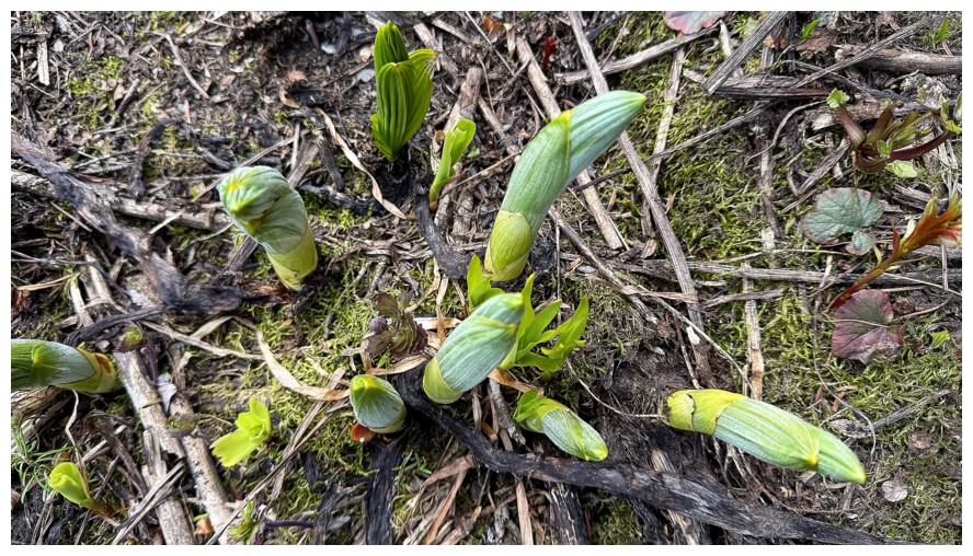
New life
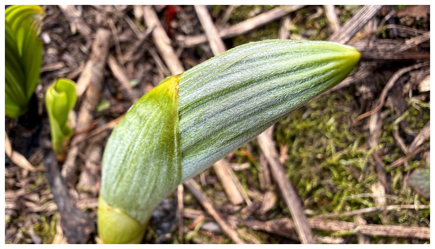
Close-up
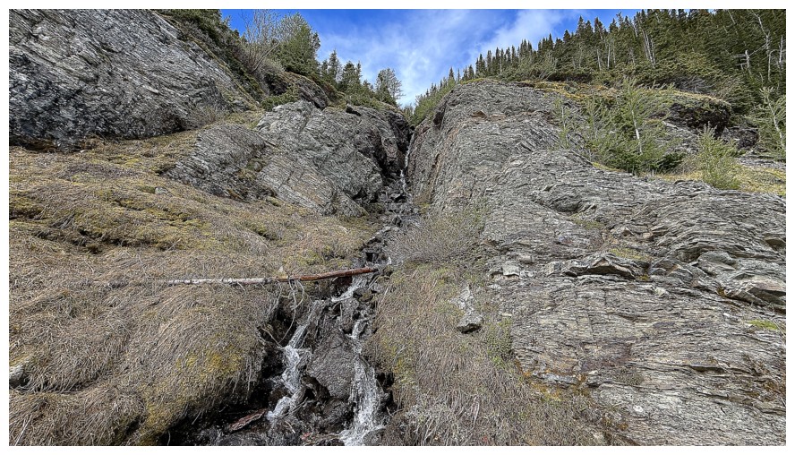
The second waterfall
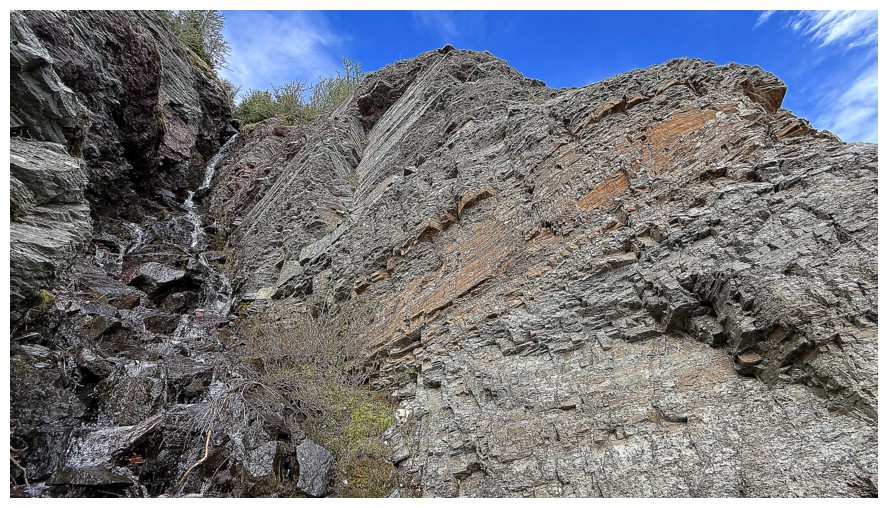
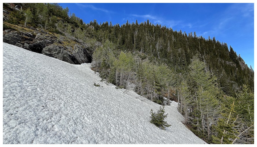
Crampons and an ice axe were needed from here to the ridge
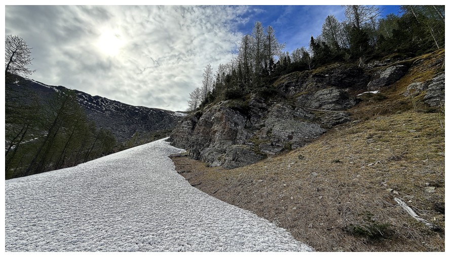
Veering further left than planned, but the snow was easy to travel on
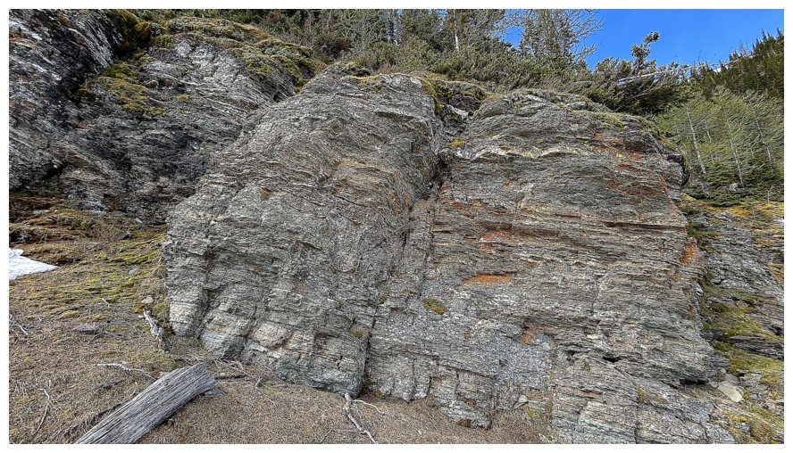
Another cool rock band
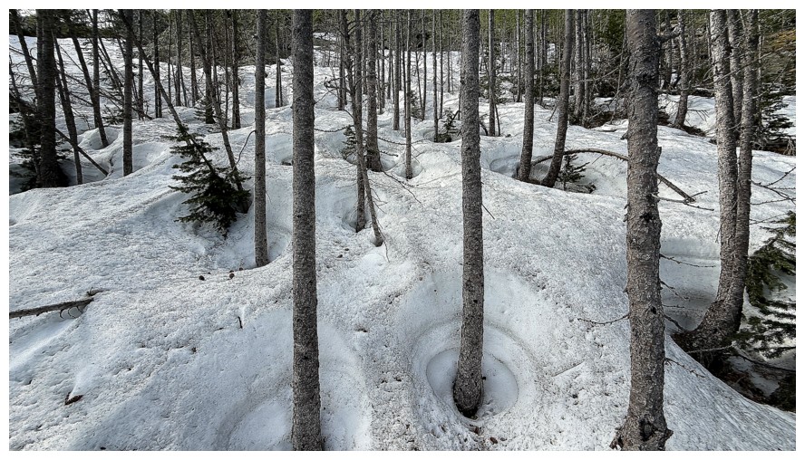
Doesn't look fun, but the snow was hard and took crampons nicely
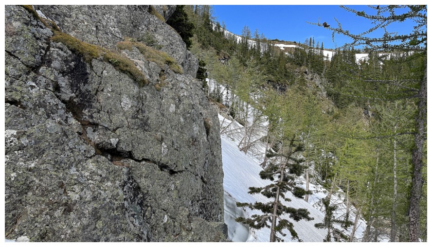
Looking to the right to the ridge I need to gain - but not across that snow
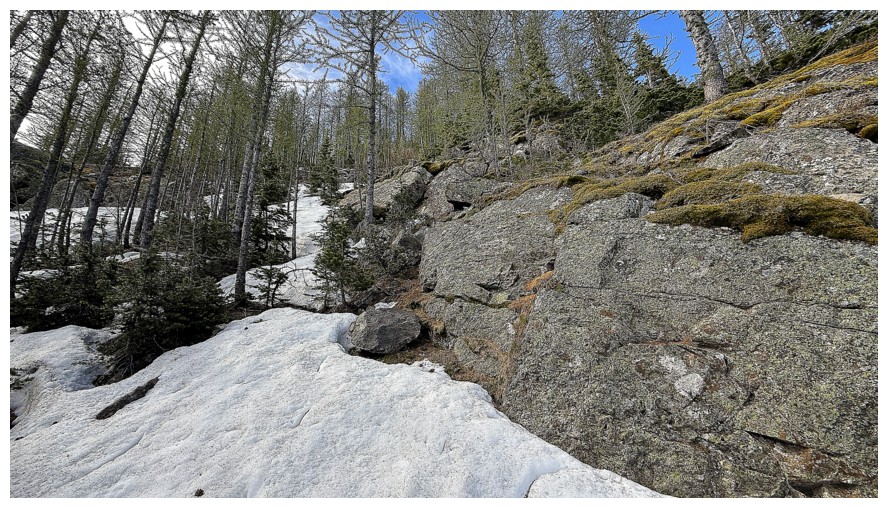
Going even further left was easier
The summit at the left
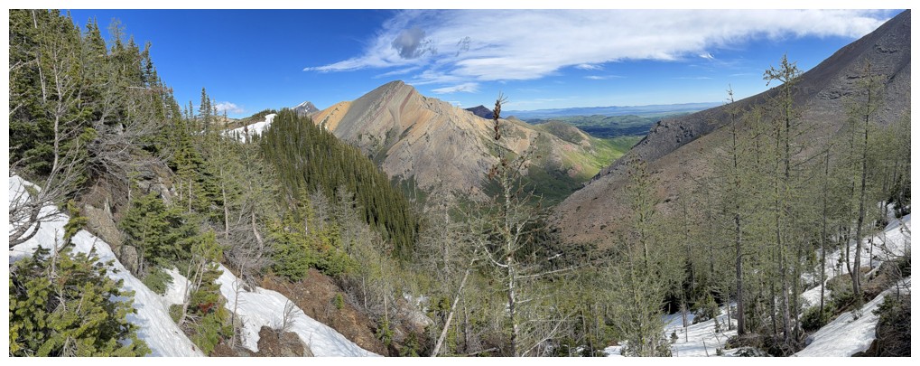
Pincher and lots of larches
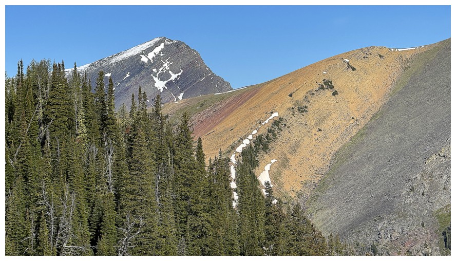
Victoria Peak at the left and the colourful stripes of Pincher Ridge
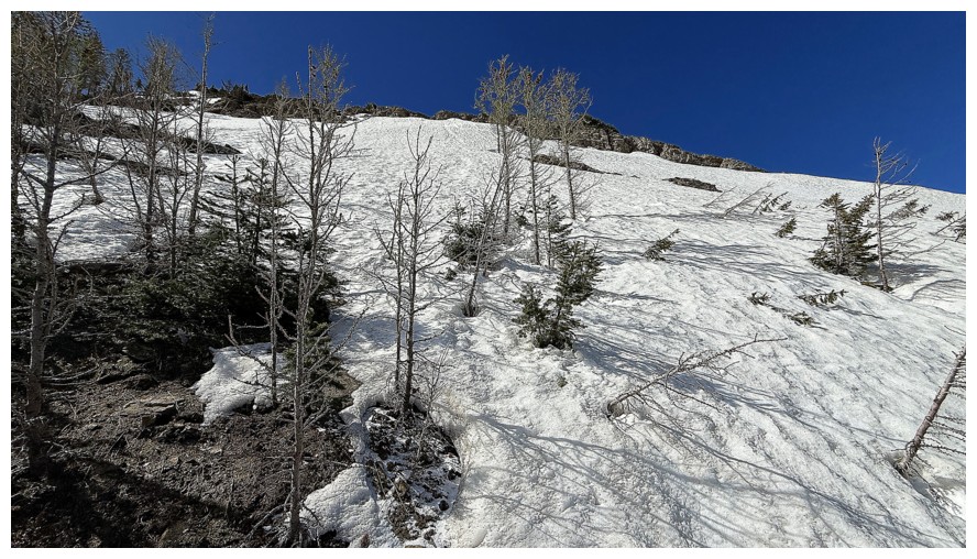
Reaching treeline and a very steep snow slope
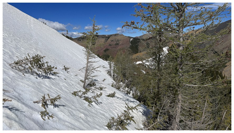
I started traversing this but eventually cut up and to the left to gain the ridge
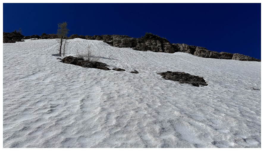
Going straight up also looked feasible but much longer and more dangerous
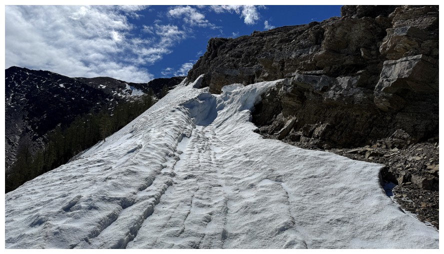
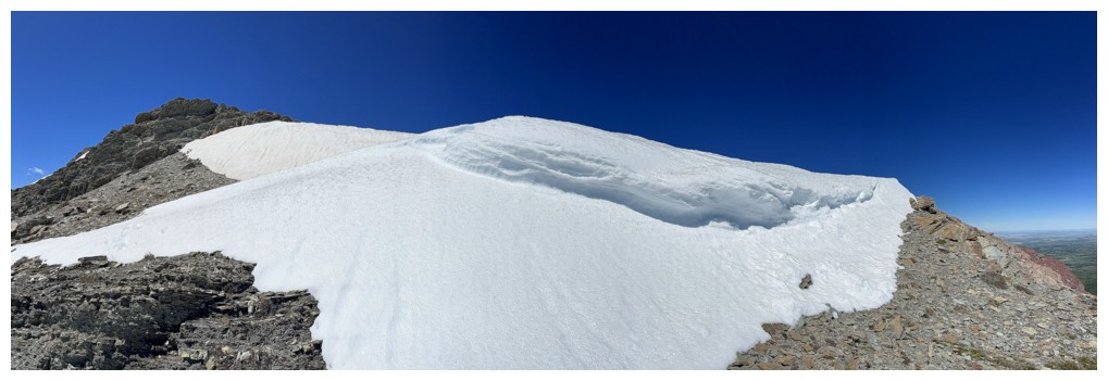
At the top of the snow slope
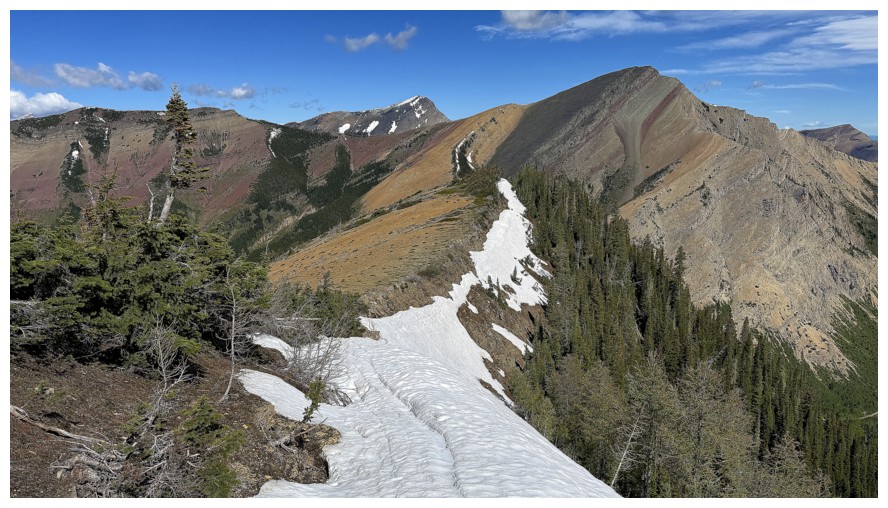
Easy walk to the summit from here
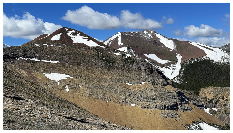
The other two major summits of Drywood Mountain: Redwood Peak (left) and Drywood SW (right of centre)
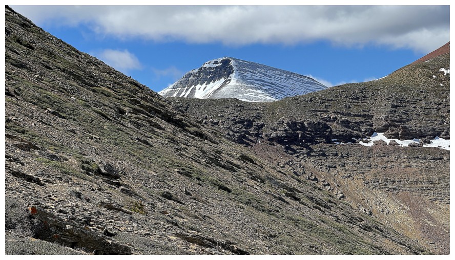
The summit block of Loaf Mountain
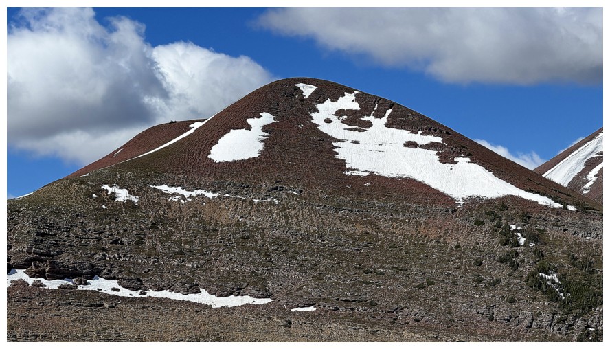
Close-up of Redwood
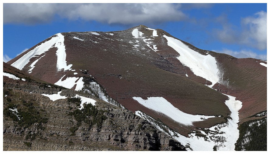
Close-up of Drywood SW
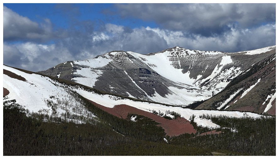
The highpoint/summit of Victoria Ridge. I've been dying to repeat the route I did in 2009 to that summit, but with perfect weather.
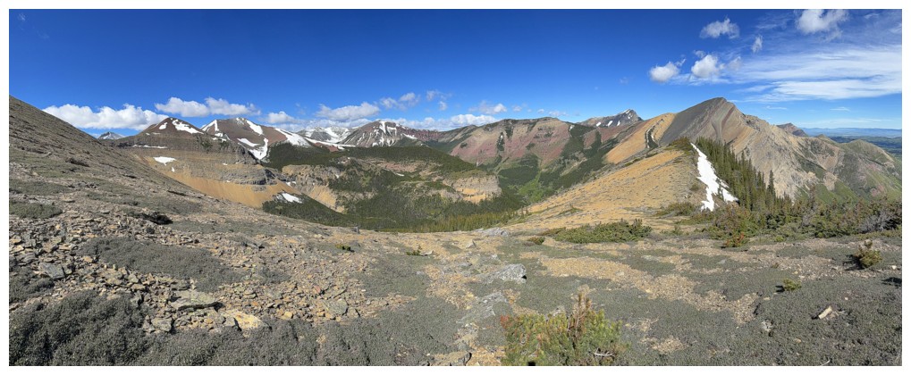
Pano from the southwest to the north
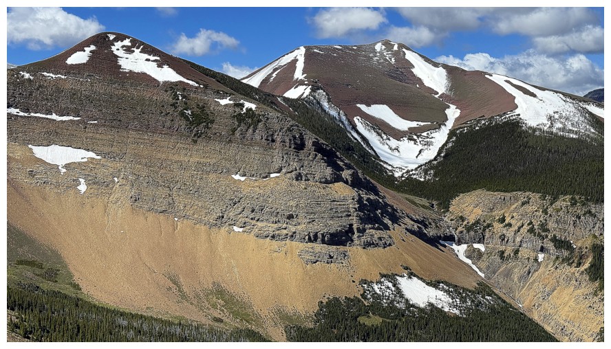
There appears to be a cool waterfall between Redwood and Drywood SW
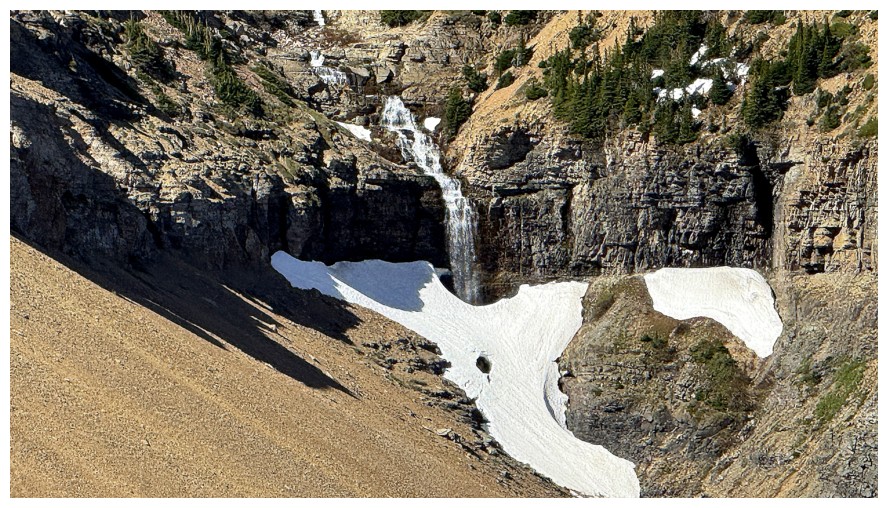
Close-up of the fall
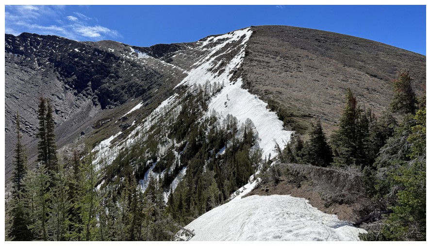
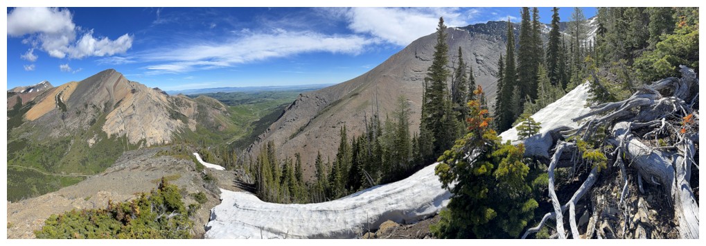
The ridge that leads to Drywood Mountain
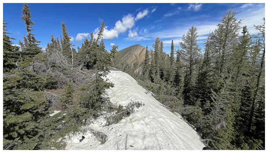
The summit is in the trees at the left
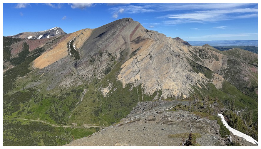
Open views on the north side of the summit
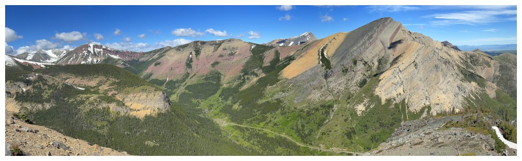
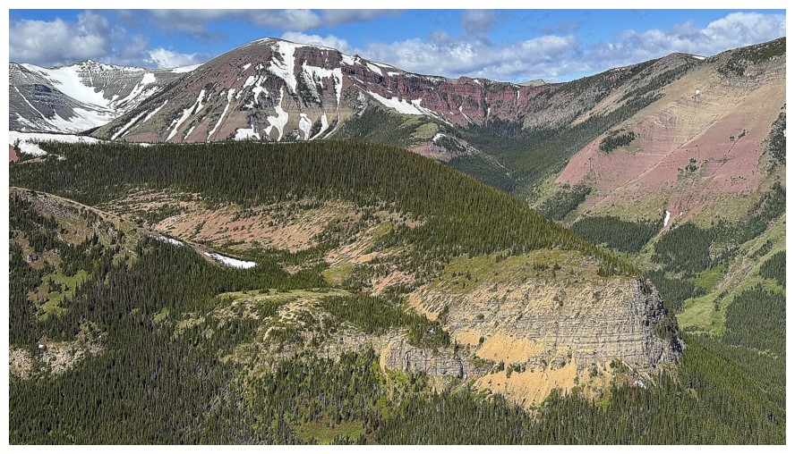
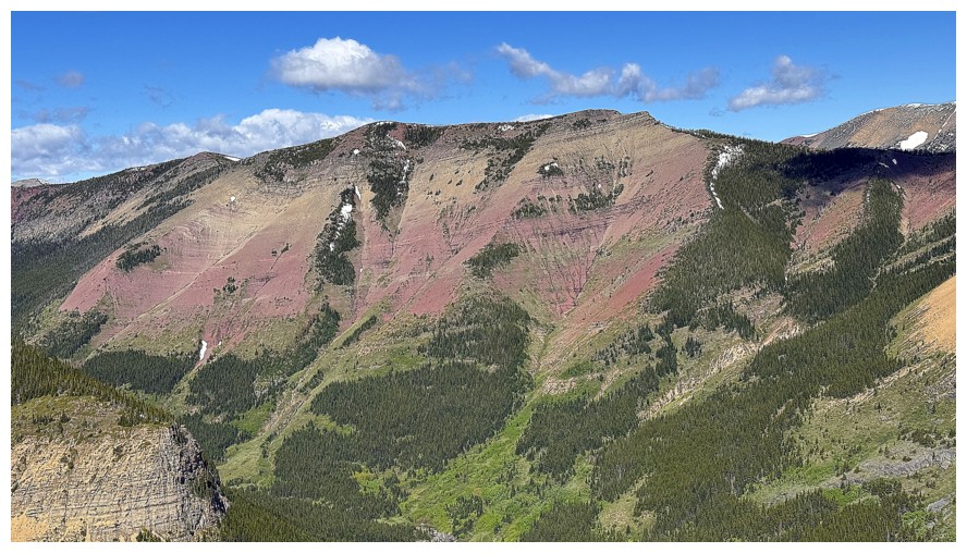
Pincher Southwest
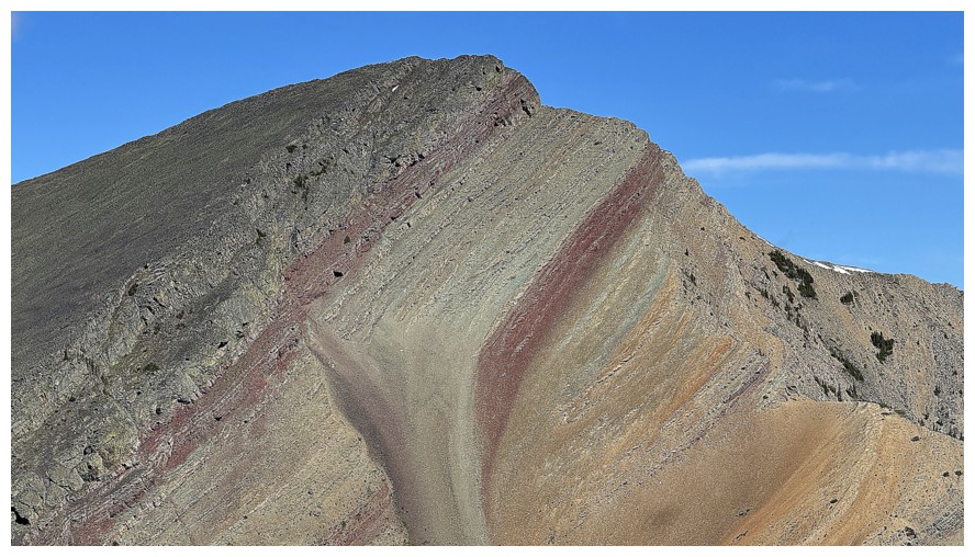
Pincher Centre - my favourite of the three Pincher Ridge summits
The highest peak of Pincher Ridge
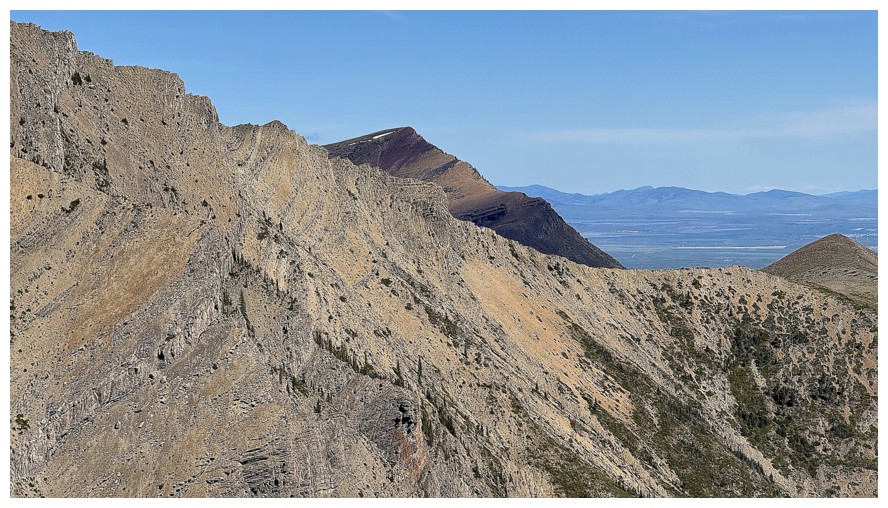
Prairie Bluff peaks over the east ridge of Pincher
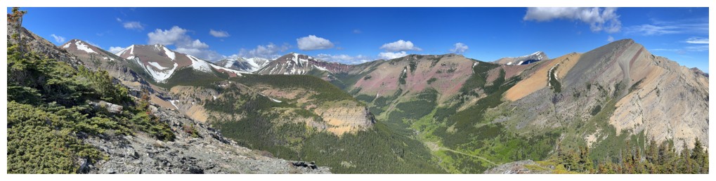
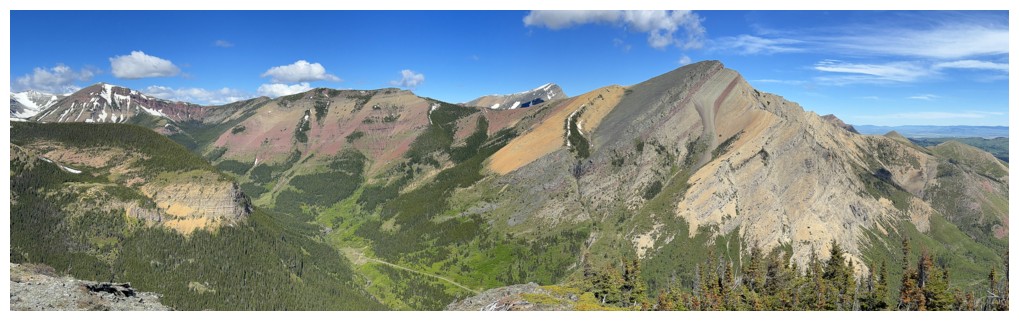
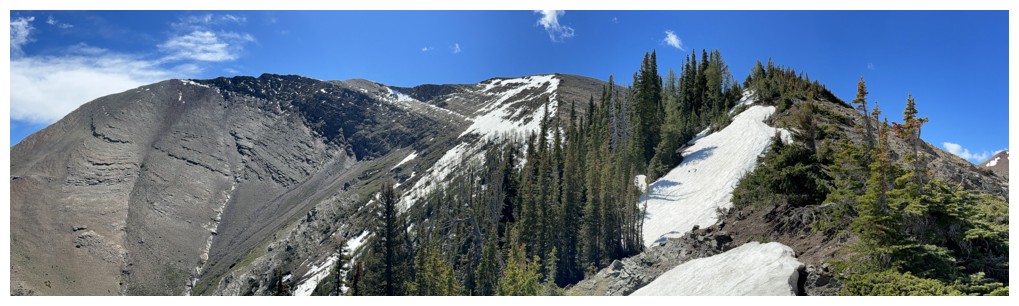
Panos from near the summit
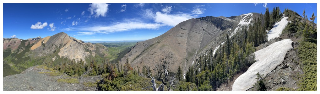
Click HERE to go to the next part of the trip.
LOG