May 10, 2024
Mountain height: 2431 m
Elevation gain: about
1000 m
Ascent time: 3:25
Descent time: 3.20
Solo
scramble.
What a difference 4 hours makes!
Inspired by the
waterfall scenery on Anderson Peak, I experienced 24 hours earlier, I set out in
search of a similar trip. My first choice would have been to repeat a tour de force
trip of remarkable water scenery on Pastry Peak that I completed in 2022. However,
I decided that it might be too early in the season, and my chances of making
the summit of Pastry via that route would be slim, the mountain still plastered
in snow. Pincher Ridge was Plan B. Though not as spectacular as the Pastry
drainage, my go-to route up the south side of Pincher would hopefully provide a
healthy dose of small cascades and waterfalls.
It didn’t but then it did – it
really DID!
After biking
the approach, I started up the right side of the drainage, trying as much as
possible to stay close to the stream. The water scenery was rewarding
throughout, though I was expecting more volume, given the very warm conditions
and recent snowfall. 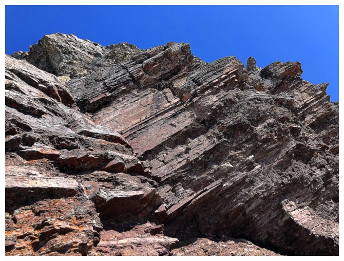 Eventually I reached the major waterfall, first
encountered on an amazing trip in October of 2018. Again, the lower-than-expected
volume of water coming down the fall was slightly disappointing – perhaps I was
too early for this one too!
Eventually I reached the major waterfall, first
encountered on an amazing trip in October of 2018. Again, the lower-than-expected
volume of water coming down the fall was slightly disappointing – perhaps I was
too early for this one too!
Reaching the
summit of Pincher Ridge went with relative ease up the south ridge. At times,
the snow made travel easier, and at other times it made for precarious footing.
Still, the effort required paled in comparison to Anderson’s slog-fest of the
previous day.
After an
engrossing summit stay, enjoying a very snowy vista, I descended towards the
Pincher Ridge/Pincher Centre col, then followed the drainage feeding the
waterfalls seen on ascent. 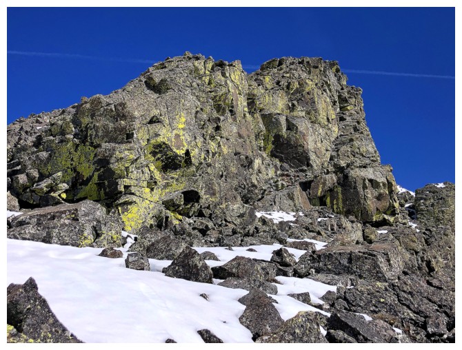 This provided a perfect descent route on firm snow.
The next order
of business was to check out the colourful east side of the ascent route. I had
visited this area before but not with the clear, blue skies I was presently
enjoying. Once satiated I started down towards the gas road and my bike. That
didn’t last long, however. Although I was now almost a full kilometre east of
the ascent drainage, I could see (and hear) that the volume of water coming
down had increased – and it appeared to have increased significantly. No way
was I leaving without going back to see what all the ruckus was about!
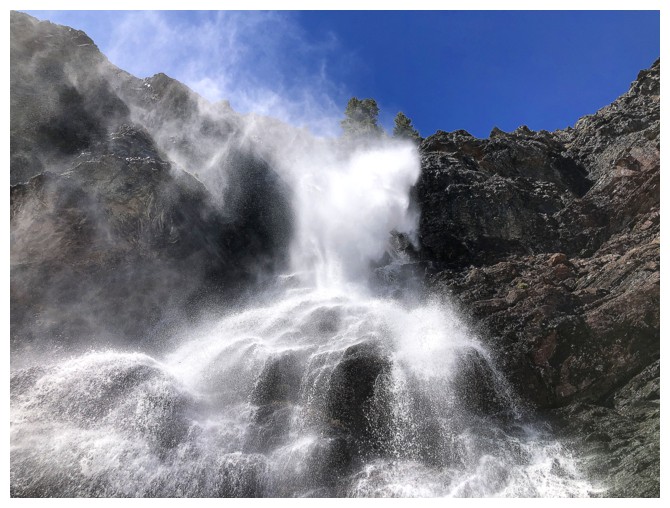
Returning to
the drainage was one of the most shocking experiences of my mountain life! I
can’t even begin to estimate the factor by which the volume of water had
increased, but it was the difference between watching a slow drip from your
kitchen faucet versus standing under Niagara Falls. Of course, I had to reascend a big chunk of the route to retake
all the photos and see everything up close again. Fantastic!! Even on descent
it was hard to resist returning to the creek to see the spectacle.
Definitely one
of the most unique and coolest days I’ve ever had in the mountains.
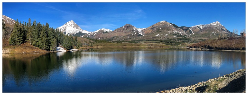
The mandatory stop at Butcher Lake
Same as above
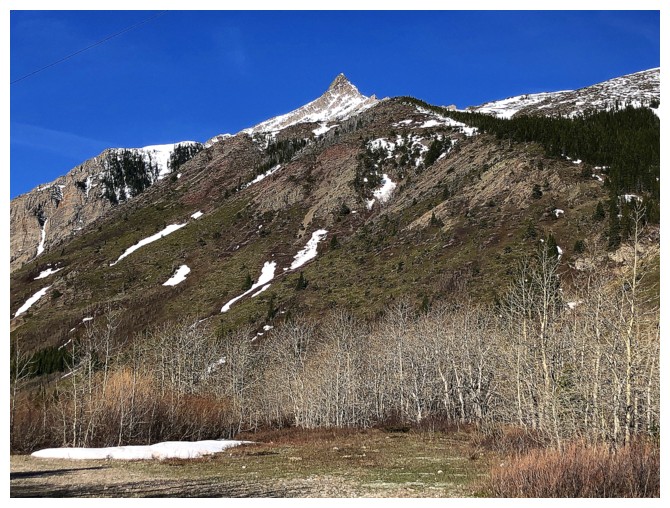
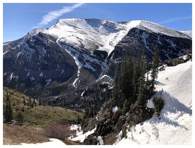
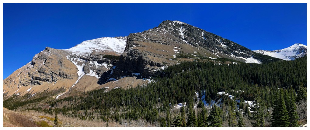
At the trailhead looking at the striking summit of Pincher Ridge
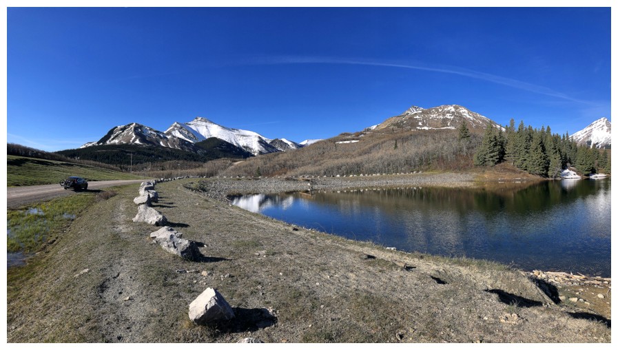
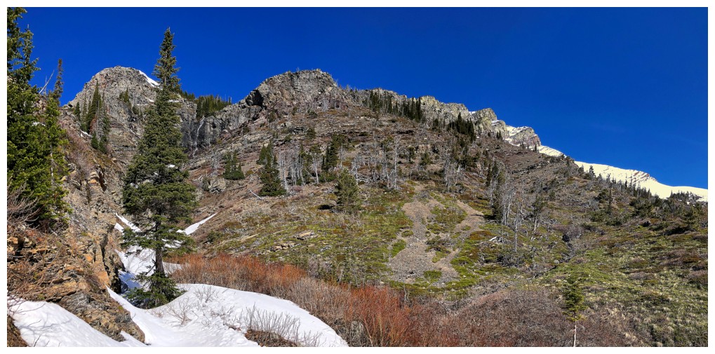
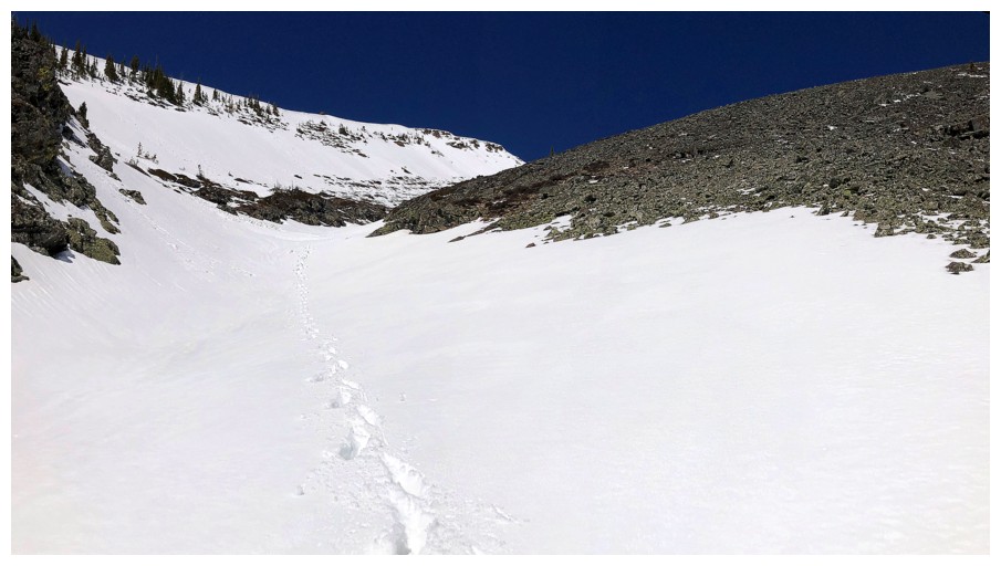
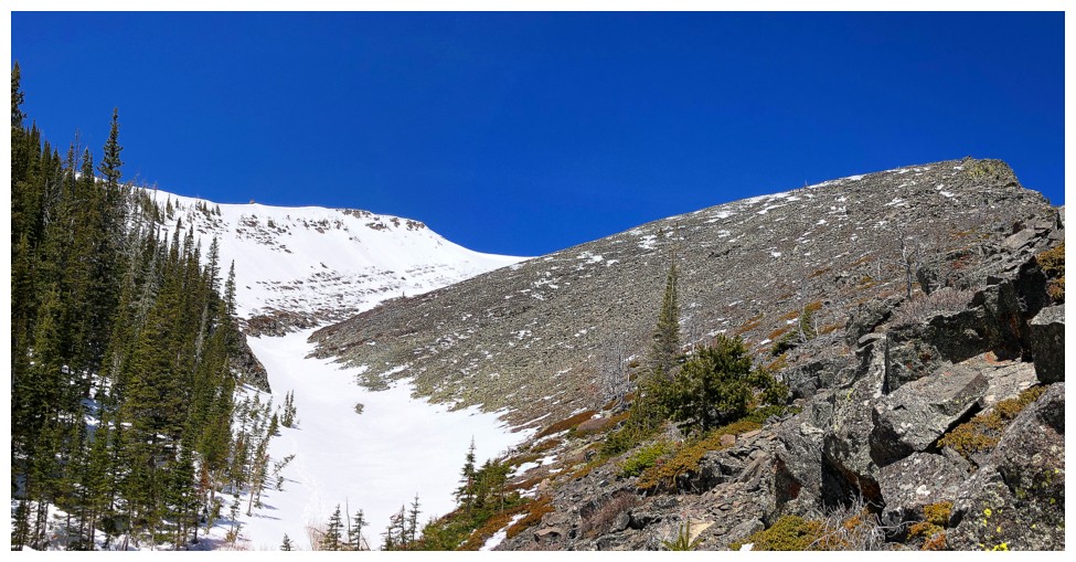
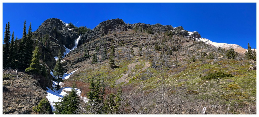
End of the bike approach. The route up doesn't look particularly
interesting, but looks are deceiving here and it's still the best route
to the summit I have yet found. Having said that, the considerably more
challenging and super cool east ridge definitely has better scrambling - some of it quite exhilarating!
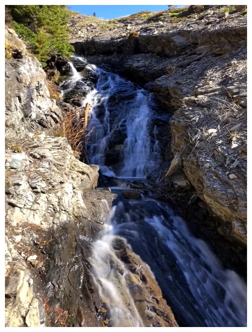
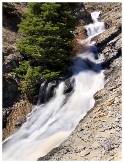
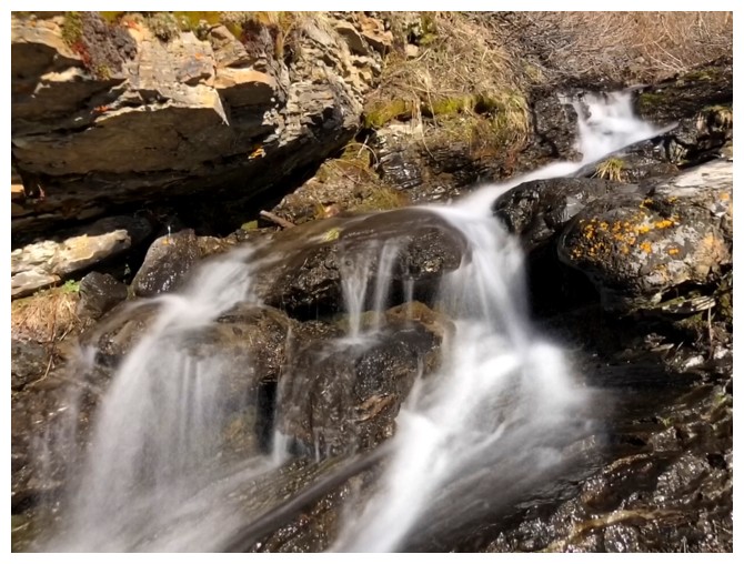
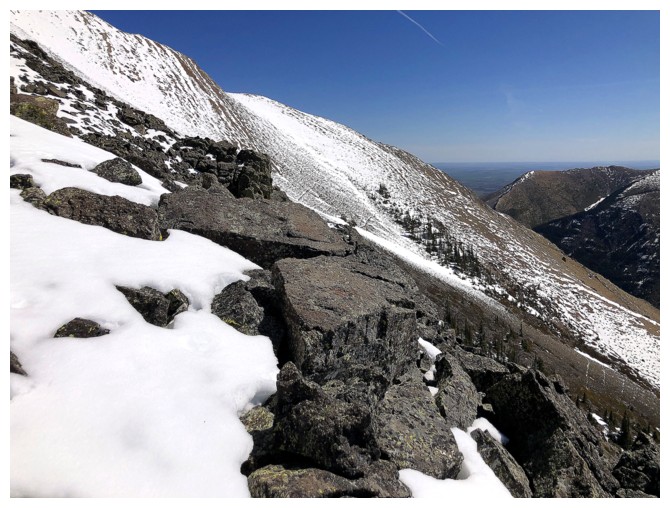
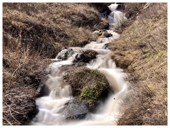
Tons of cascades throughout the lower section of the ascent
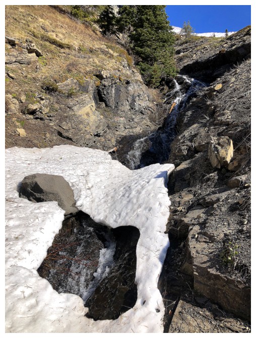
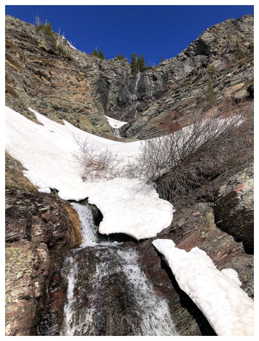
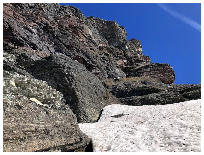
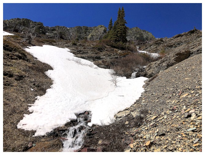
Snow in the drainage starts to make travel more challenging
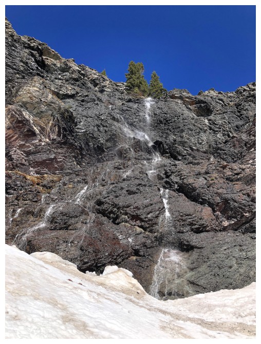
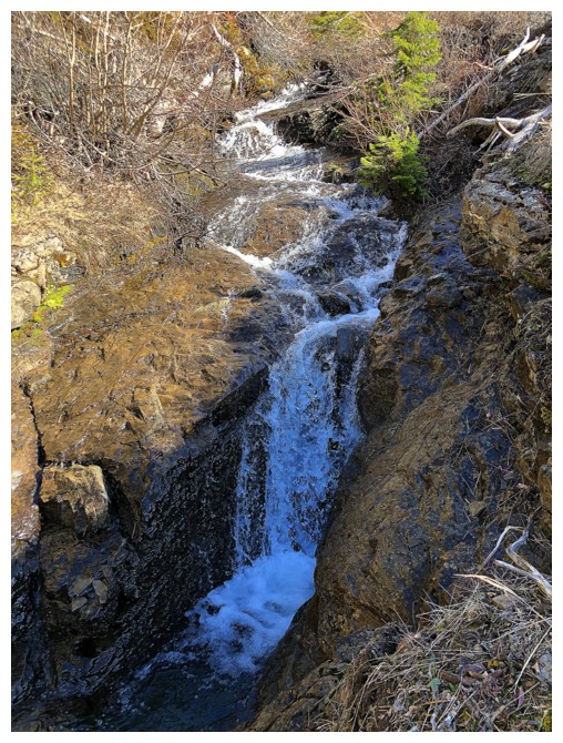
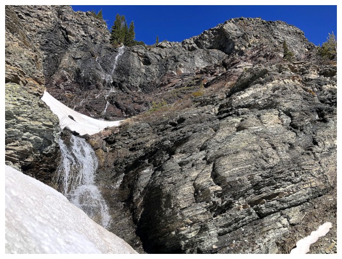
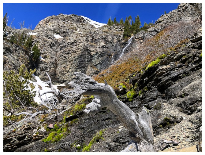
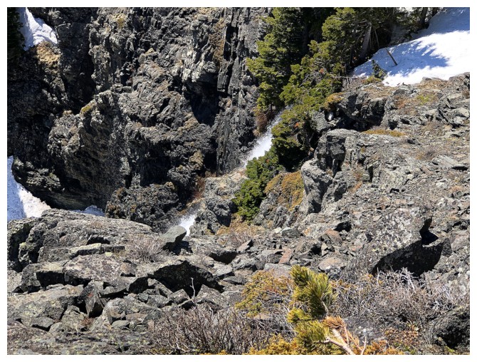
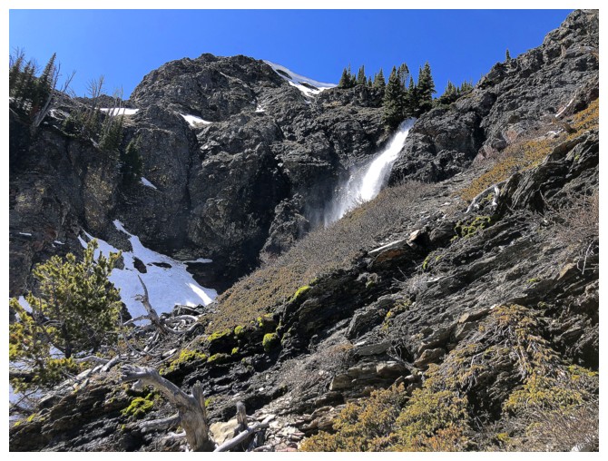
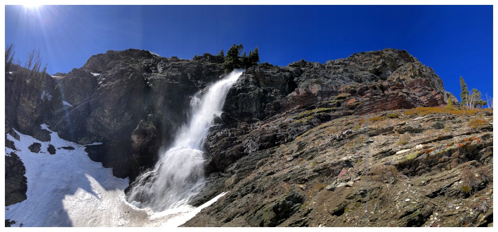
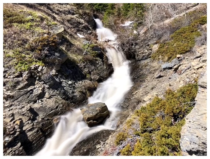
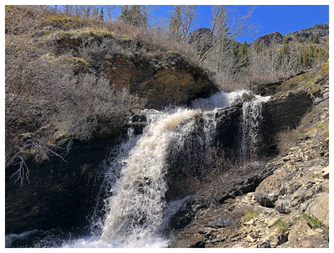
First look at the major waterfall of the drainage (near the left), though it is hardly a "major" fall at present
Got a few long exposure photos but there wasn't enough water to warrant them, for the most part
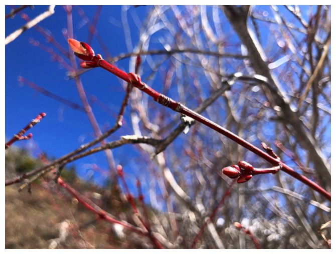
Spring has arrived
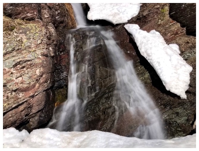
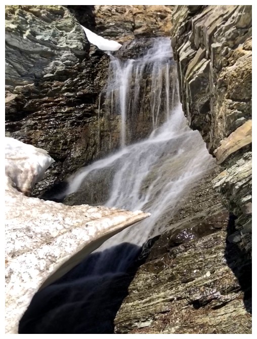
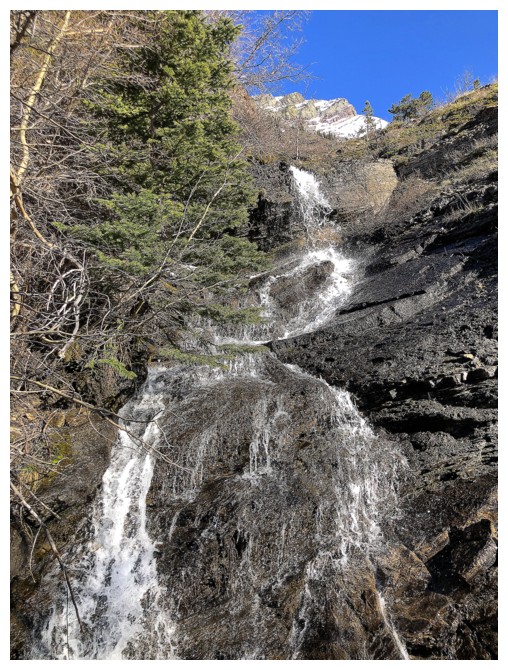
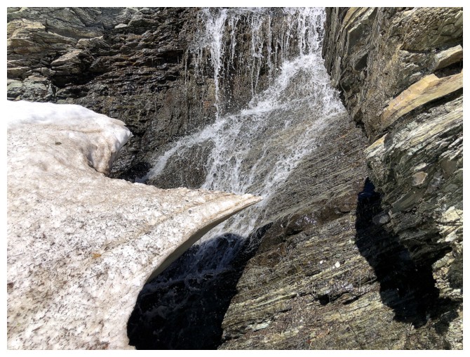
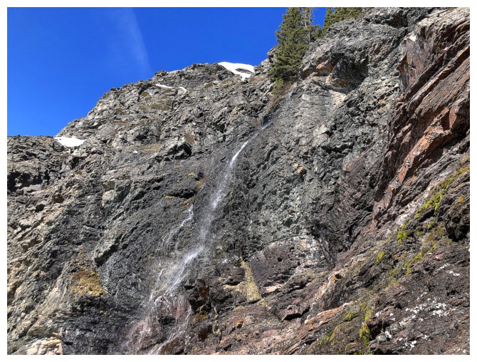
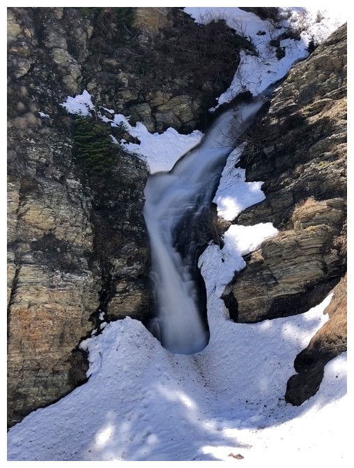
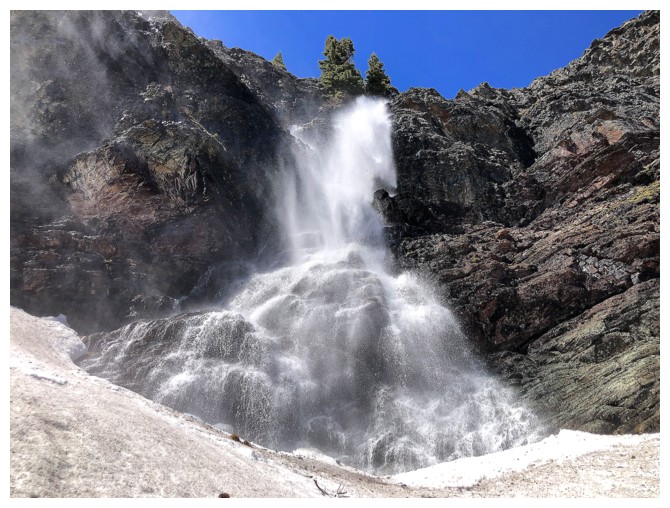
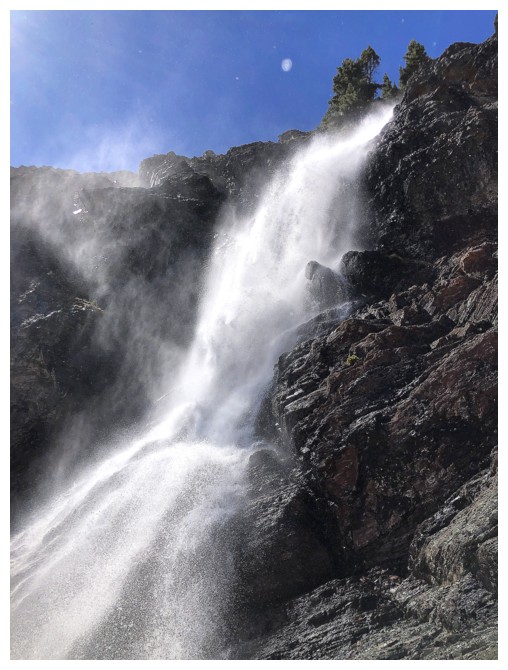
The "big" fall up high
Had to traverse in and out of the drainage several times
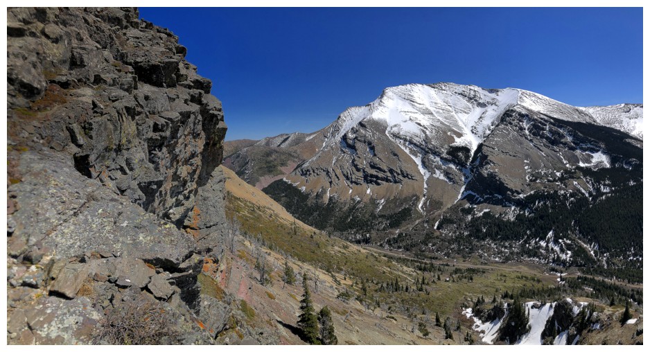
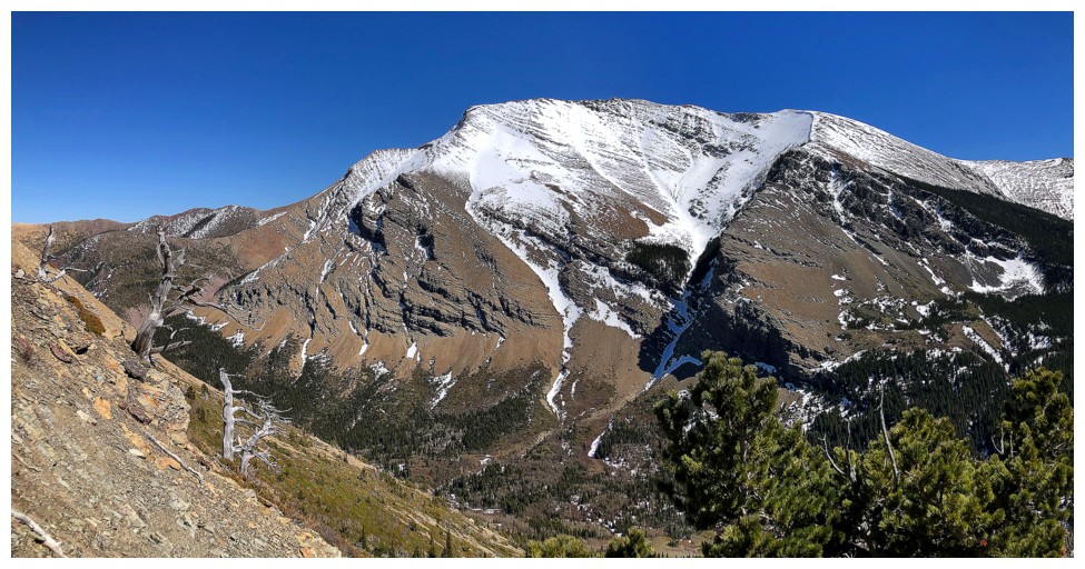
Drywood Mountain across the valley

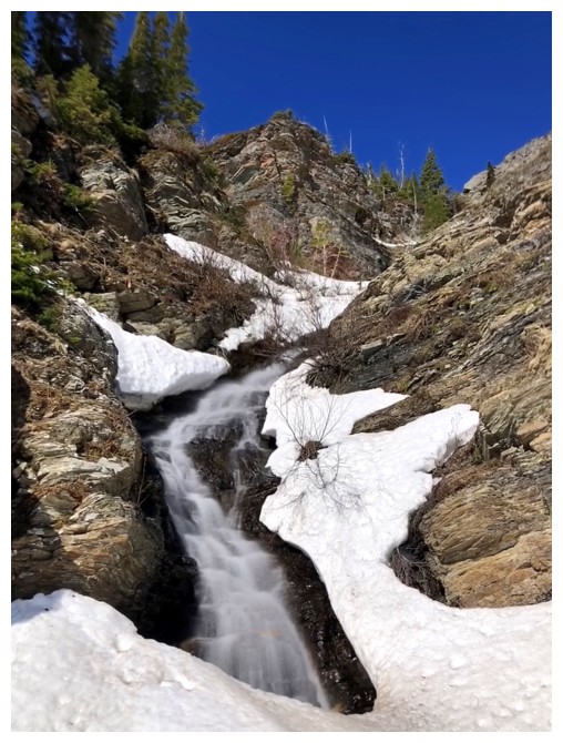
Back in the snowy drainage
There was some very cool water and snow scenery here
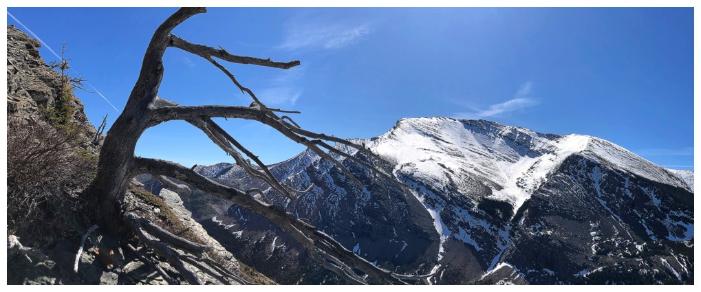
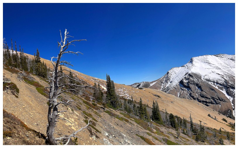
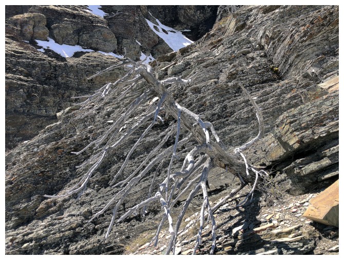
Out again! Dead tree and Drywood.
Dead tree and a little bit of moss

The final traverse back into the drainage
I was definitely expecting more water than this, but it's still a super cool area
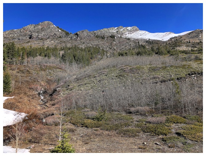
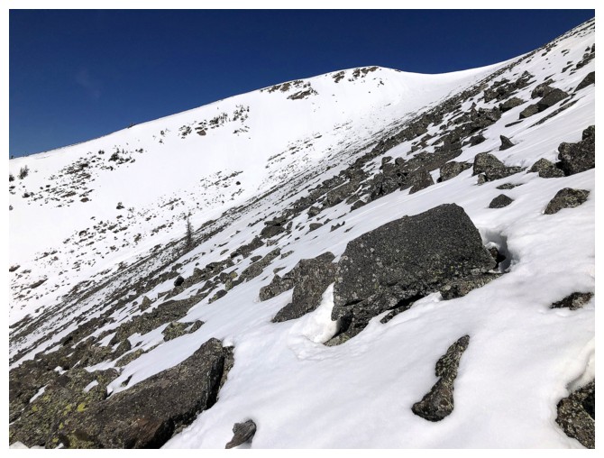
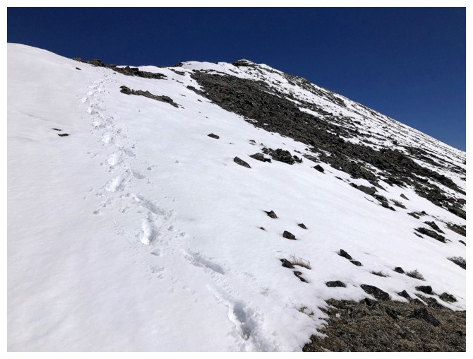
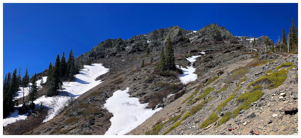
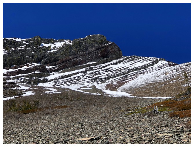
Heading up to gain the ridge above
Looking back at the trickle
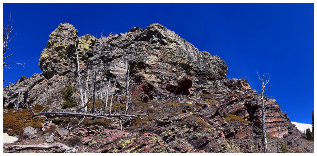
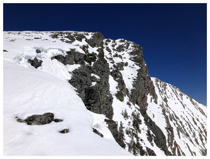
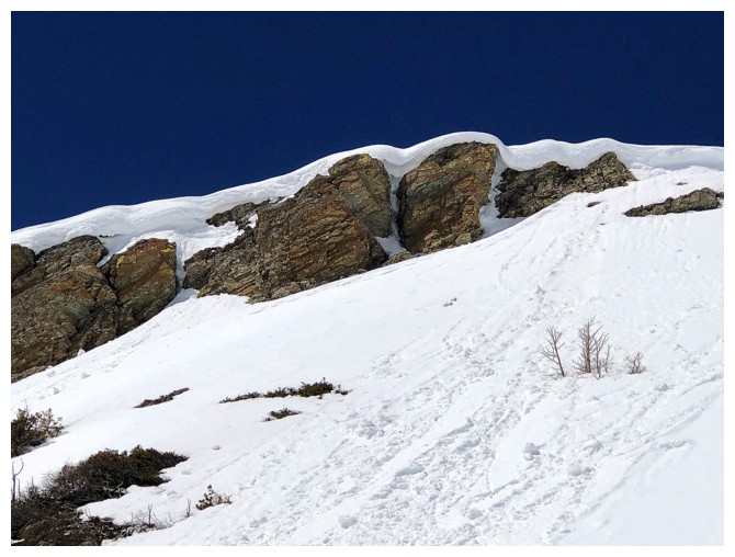
I used to think it might be possible to scramble up this to gain the
south ridge, but confirmed it is not a scramble, after checking it out
from above
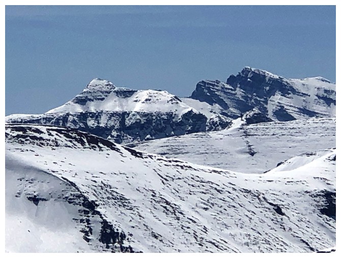
The middle and southwest summits of Drywood
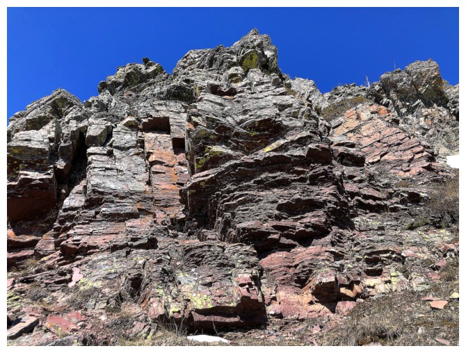
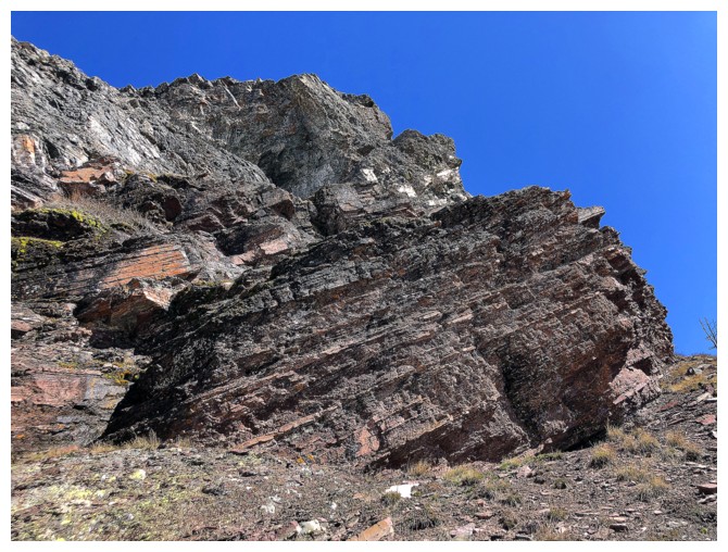
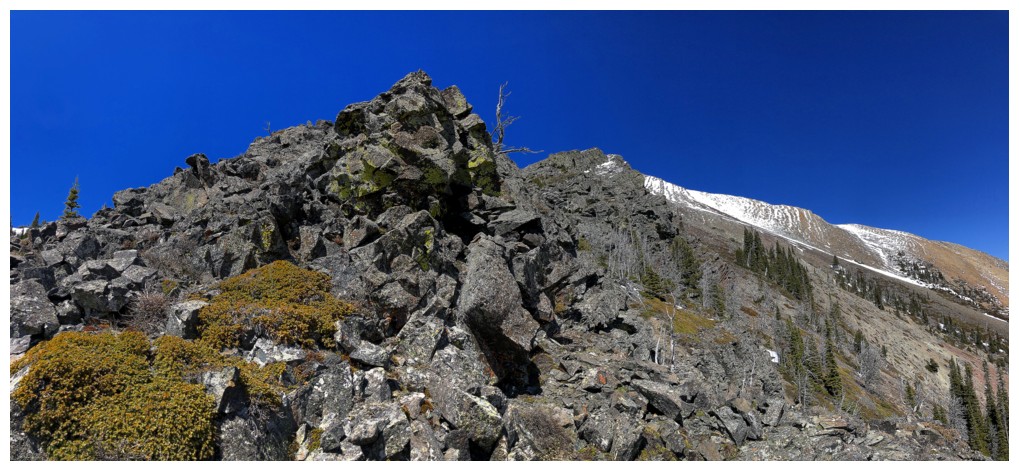
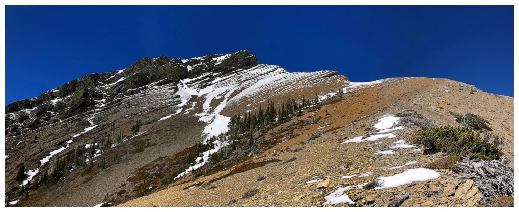
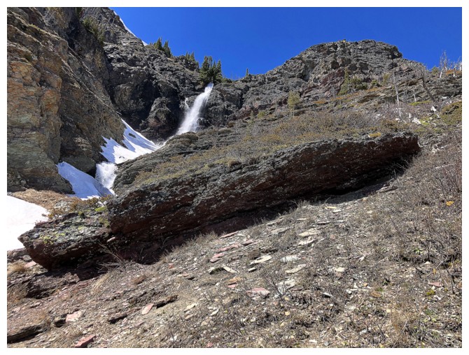
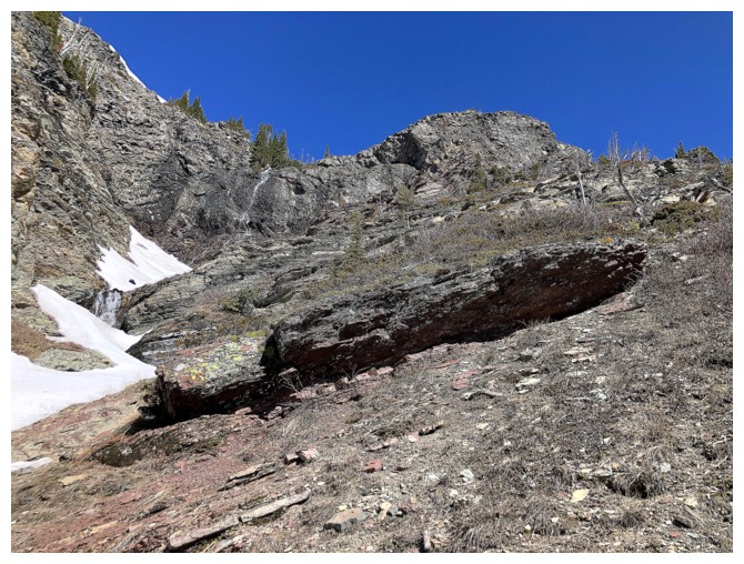
Great rock to traverse under, en route to the south ridge
Same as above
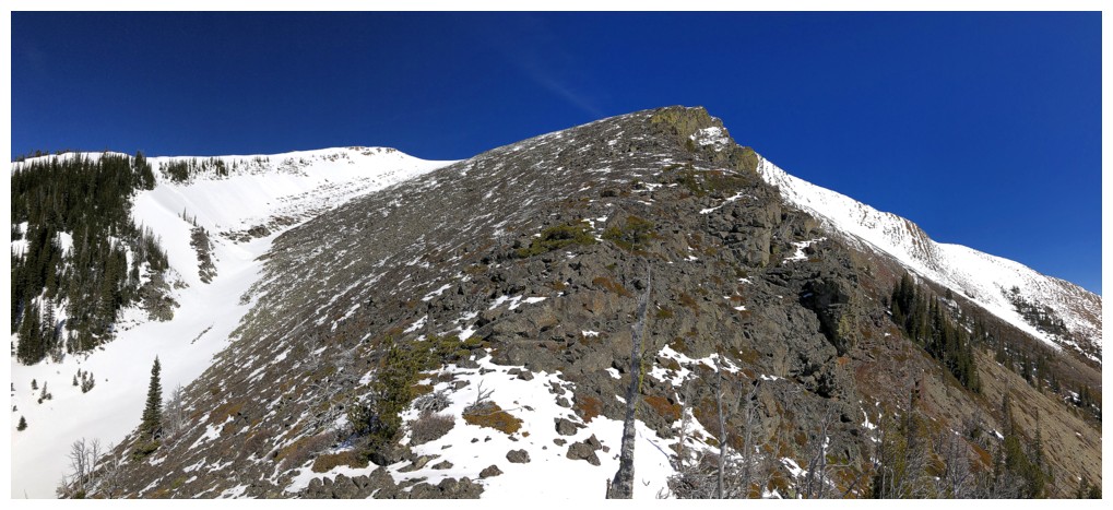
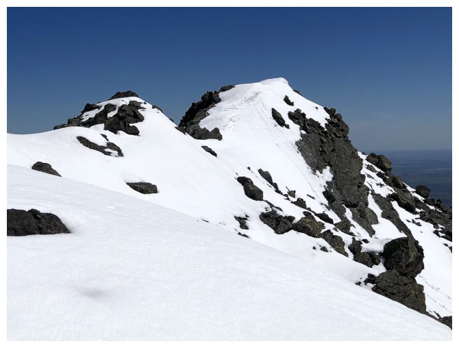
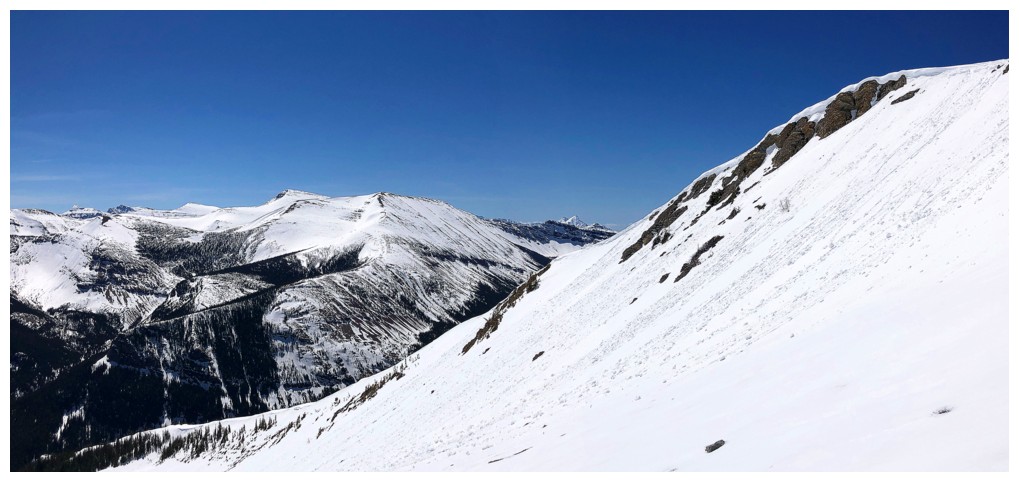
On the south ridge, with the summit just right of centre
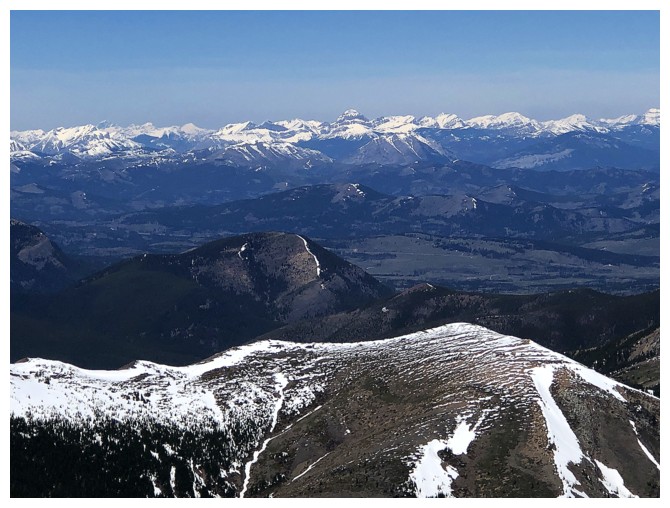
View to the southwest
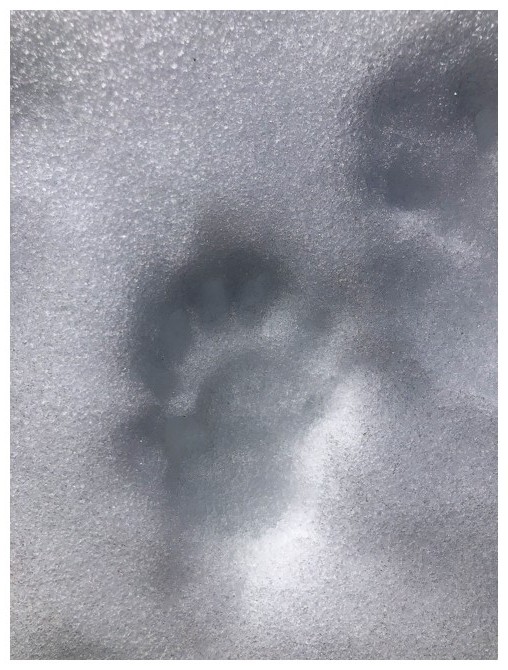
This small animal print was a mystery. It appeared to be that of a bear cub, but the mother's print were nowhere to be found.
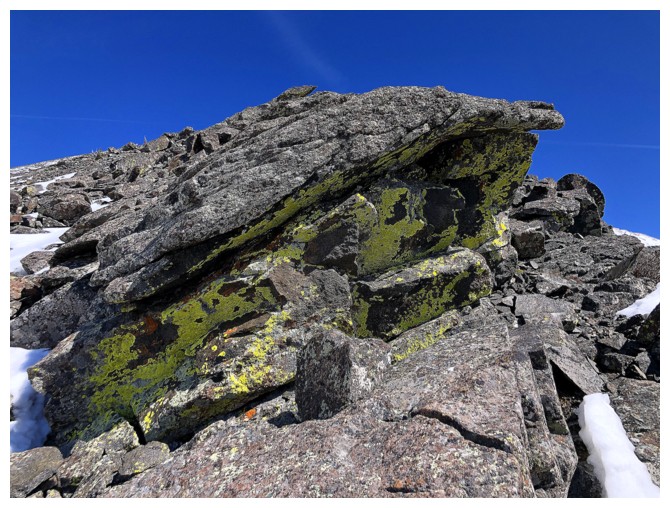
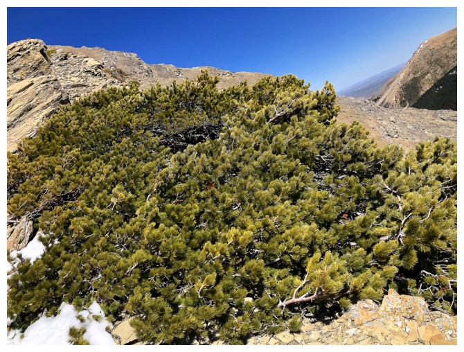
The yellow/green lichen is a great feature of rock on the ridge
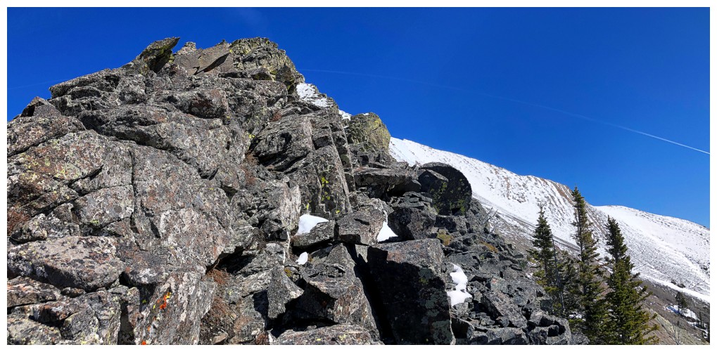
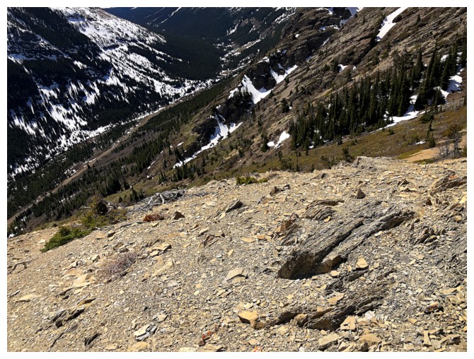
Typical terrain
I see a reptile head
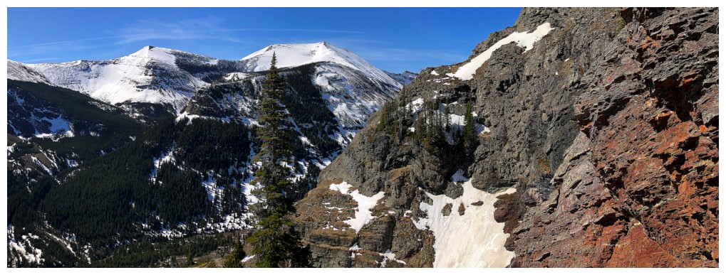
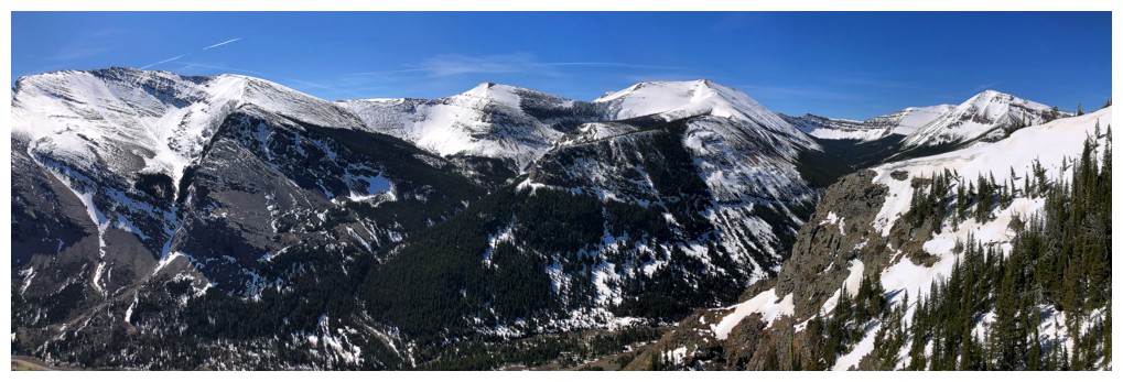
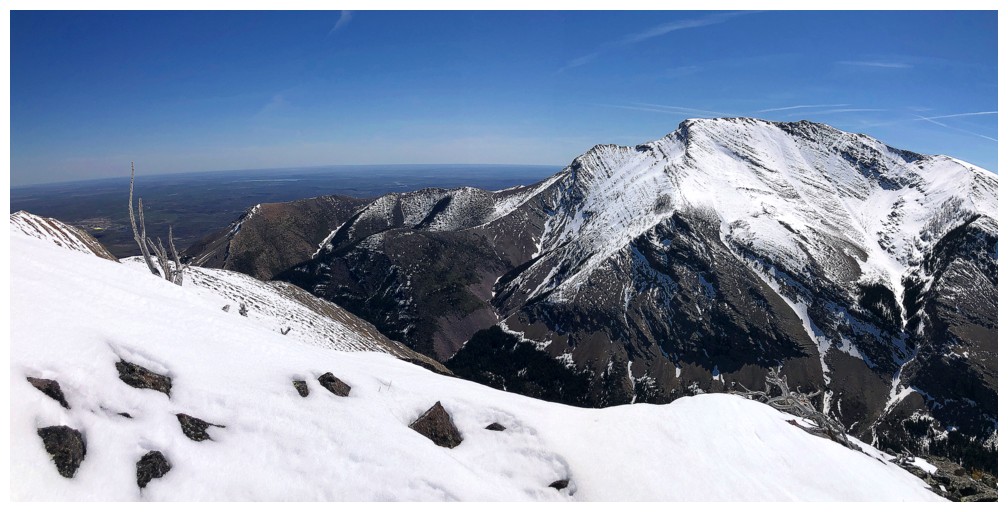
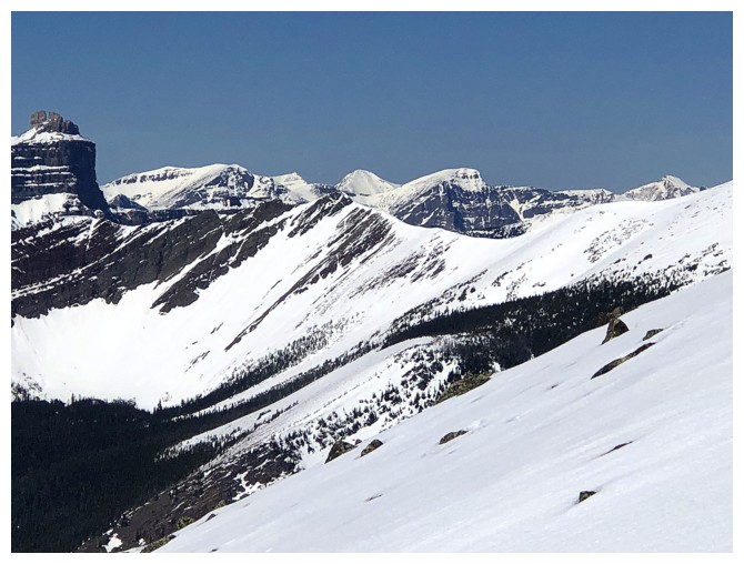
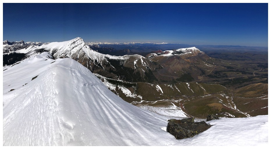
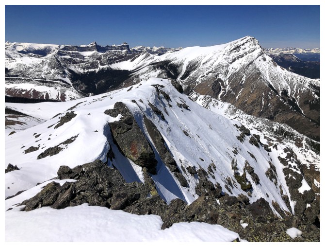
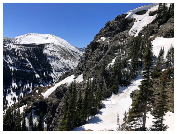
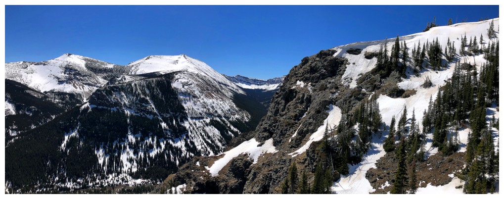
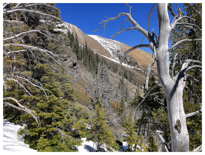
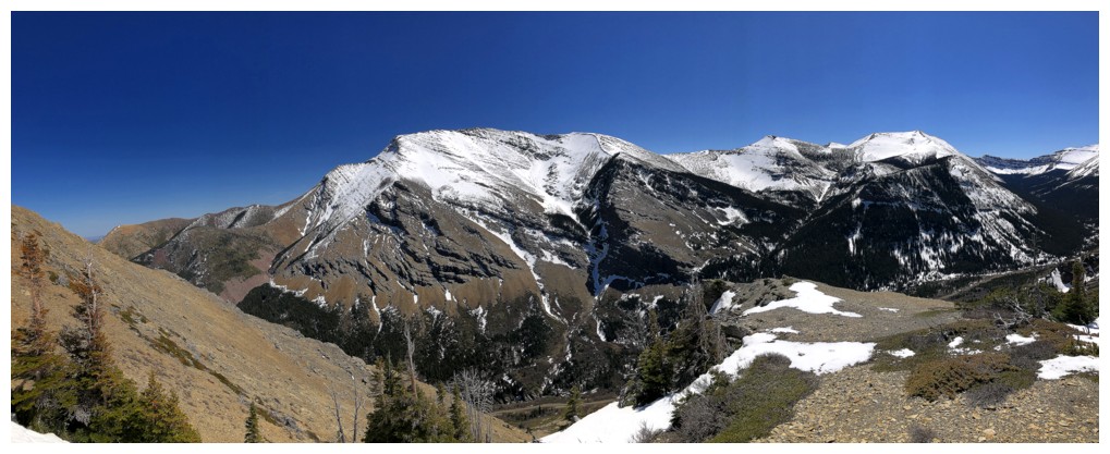
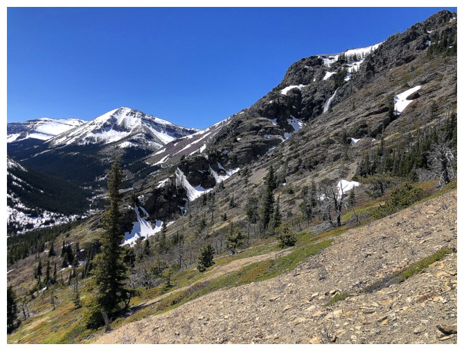
Looking east to the ridge I planned on visiting on descent
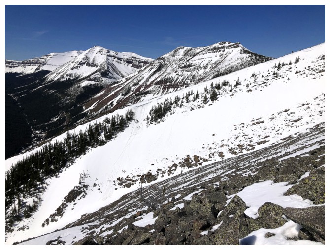
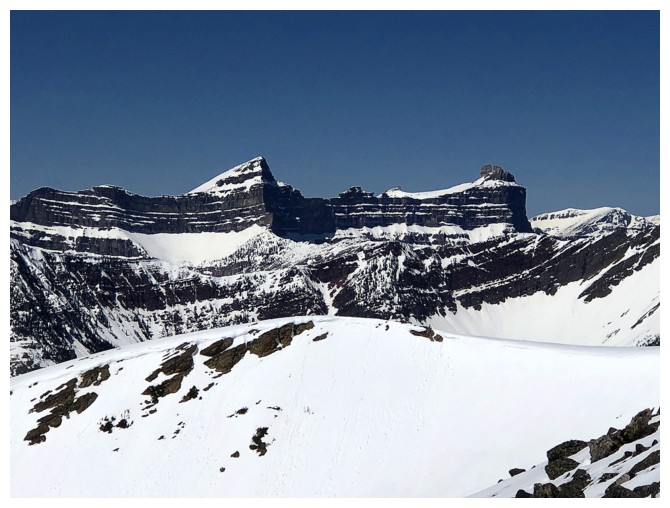
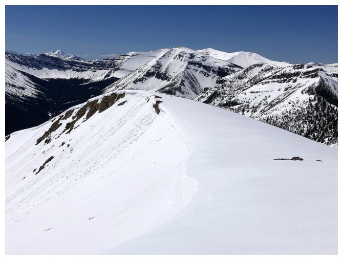
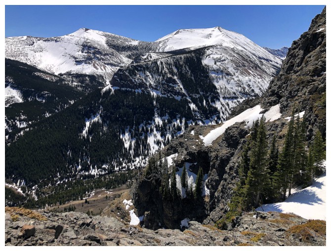
The Centre Peak (right) and Southwest Peak (left). The Centre Peak is
one of my favourite trips in the Rockies, especially during larch
season.
A little bump between Pincher and Centre
Drywood gets lots of love when ascending Pincher
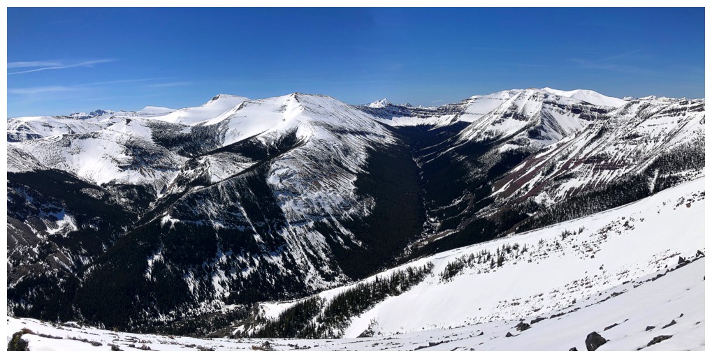
View to the southwest
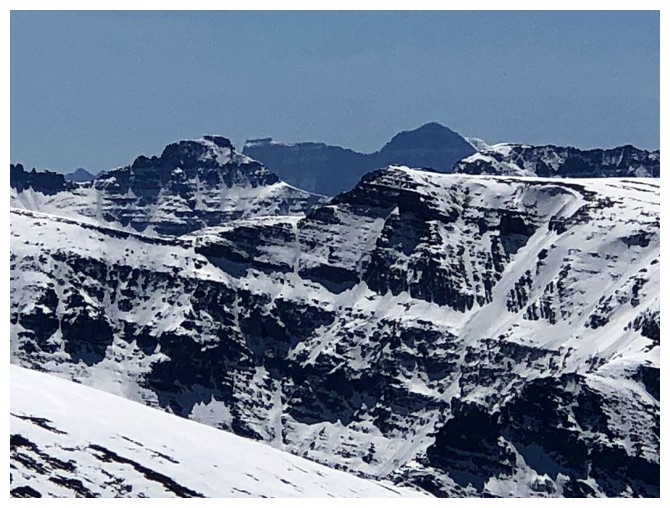
Windsor Mountain and Castle Peak
King Edward and Starvation peaks in the distance
Trying to stay close to the edge, but it was not always possible because of cornices
Castle (far left) and other peaks in the area
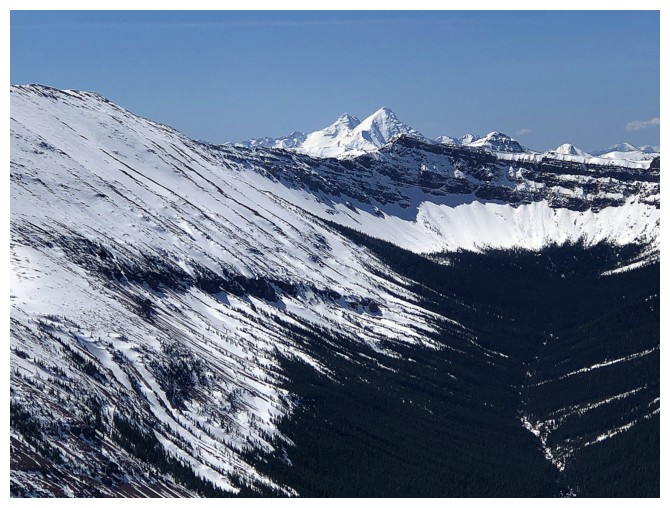
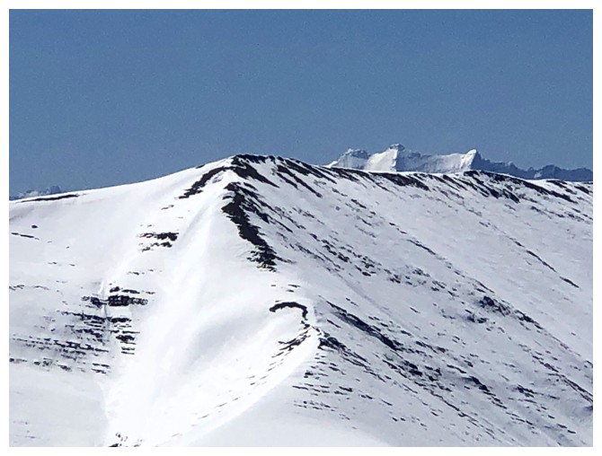
At a height of 2640 m, Loaf Mountain (centre) is The King of The Castle
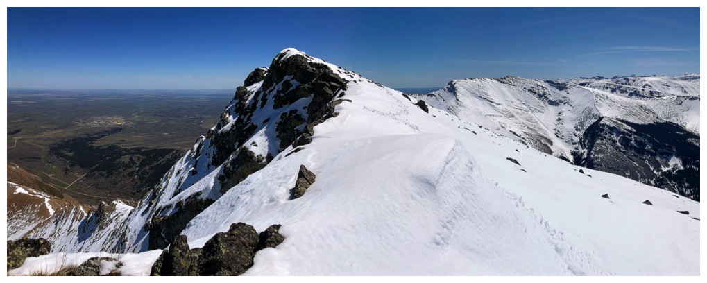
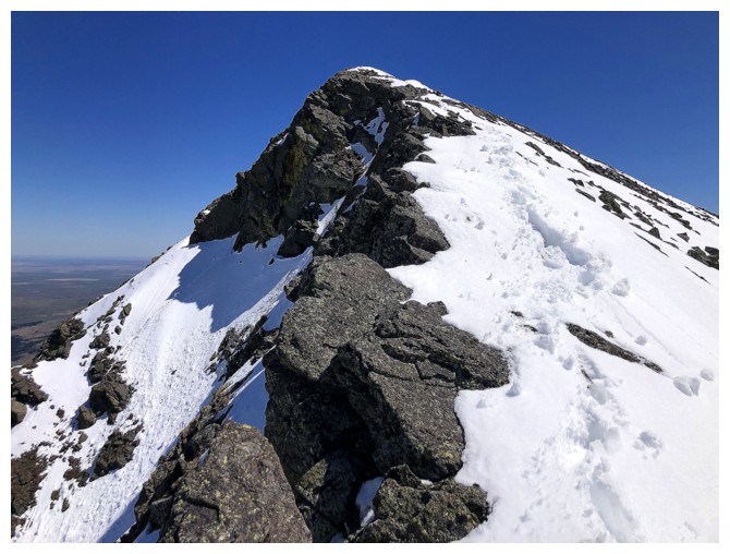
The summit is close
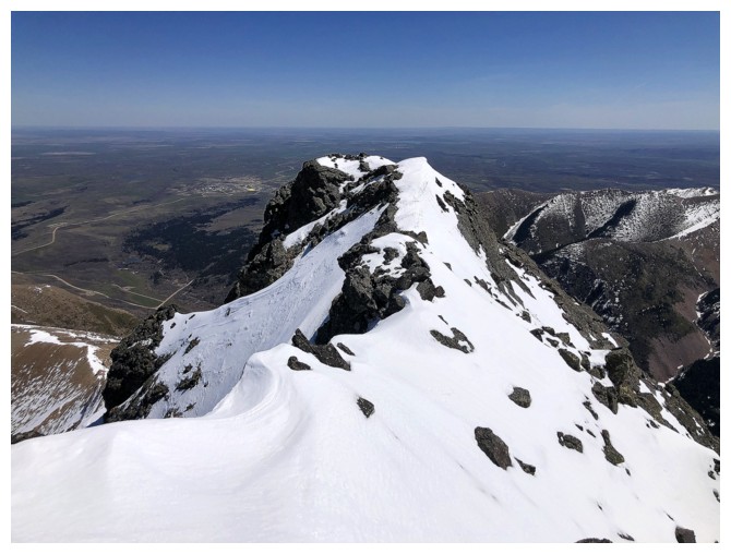
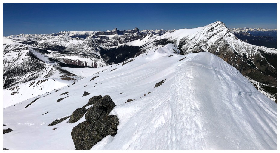
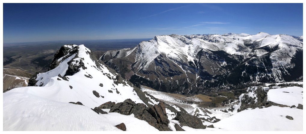
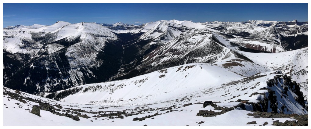
At the top looking east
The view to the north features Crowsnest Mountain in the distant centre
View to the northwest
Victoria Peak and mountains of the Flathead Range
Victoria and Prairie Bluff
East and southeast view
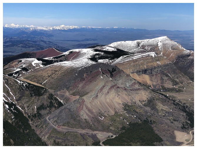
Closer look at the little gem of southern Alberta - Prairie Bluff
King Edward and Starvation
Glendowan and Blakiston
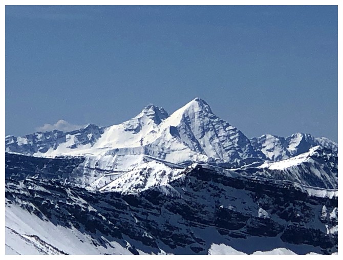
Distant Mount Cleveland is The King of all the mountains in Glacier, Waterton, and The Castle
Long Knife Peak peaks over a ridge
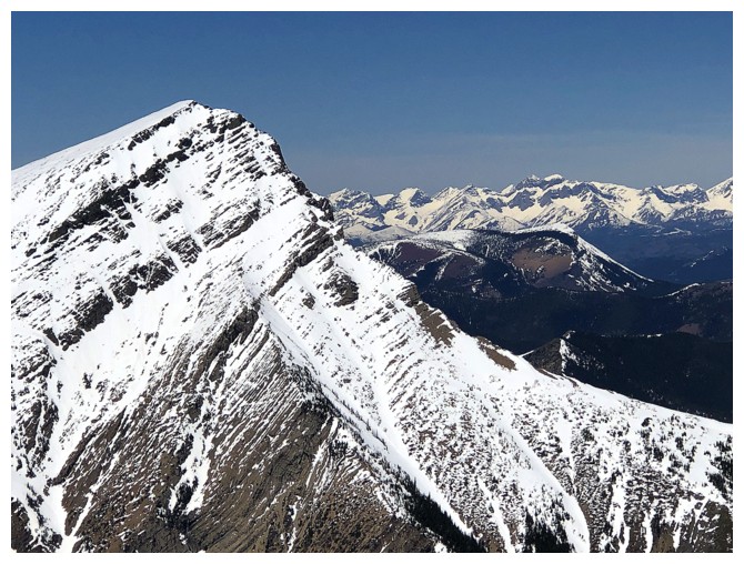
Following the west ridge down to the col between Pincher and Centre
Looking back to the summit
Easy travel and great views
Still enjoying the view back to the summit
Same as above
Approaching the bump between Pincher and Centre. I went down to the left here.
Minor sluffing off to the right
The ridges are still corniced
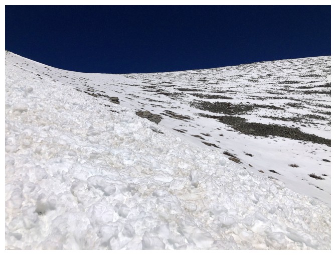
Avalanche debris
The snow in the drainage was perfect for easy travel
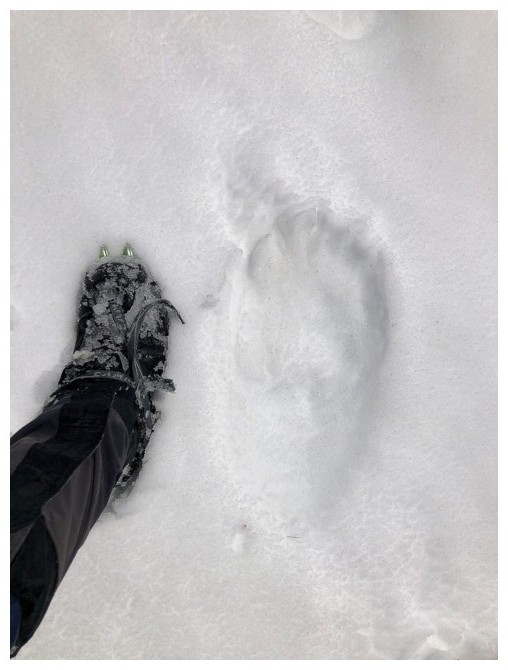
Could this be the mother's print?
Back on the south ridge
I decided to check out the source of the waterfall, but could only get so close
As far as I got
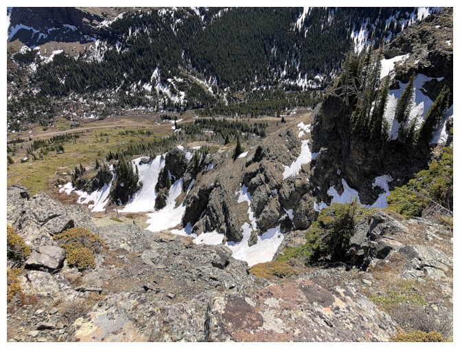
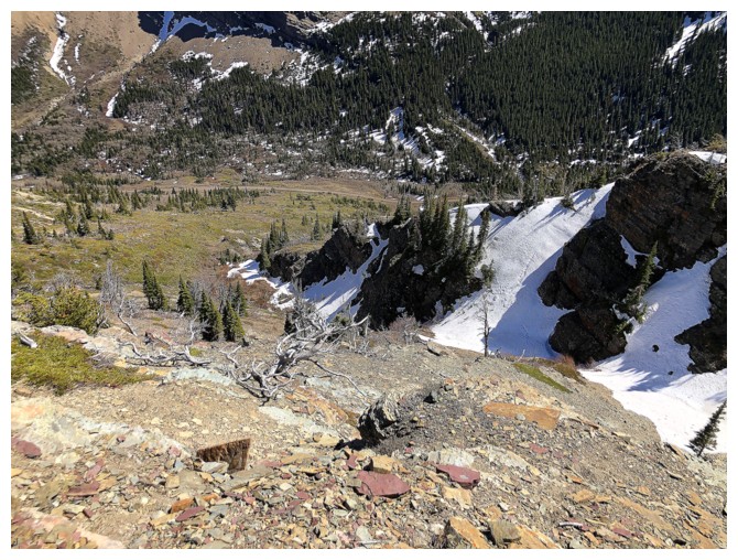
Looking down to the drainage below the waterfall
The wall of rock that prevents a scramble route up through the waterfall rock band
The only glimpse I could get of the increased volume of water, though at the time it didn't seem significant
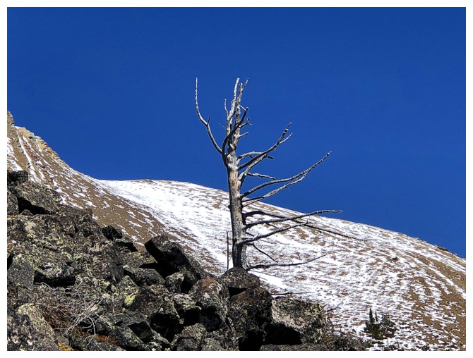
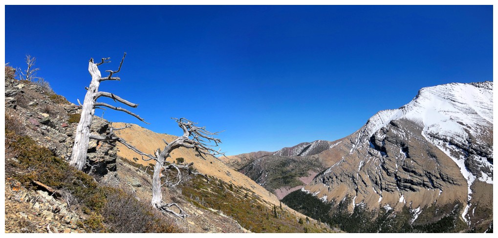
Lone tree
Another
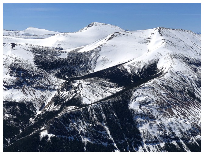
Heading east to see the next ridge over
Same as above
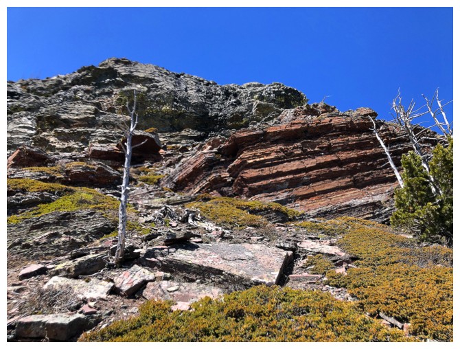
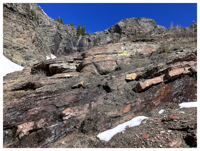
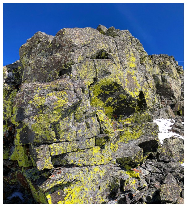
No shortage of colourful rock along the way
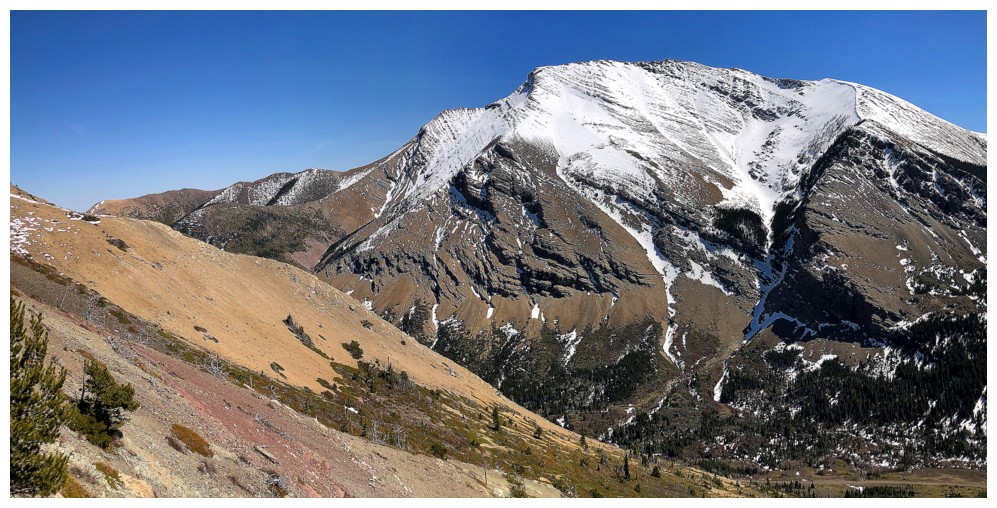
And continued great views of snow-capped Drywood
There are a couple of other drainages to cross
And more lone trees

Looking back to the summit
Close-up
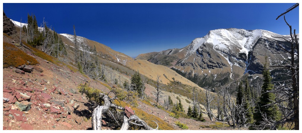
The reason why I wanted to extend the trip - beautiful rock and a clear, blue sky
This looked out of place on the barren, rocky ridge
Heading down to the main trail
But wait! Even at a distance it's easy to see the volume of water has increased (upper right)
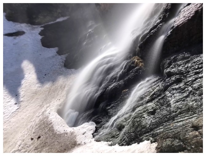
Back in the drainage after a hasty traverse
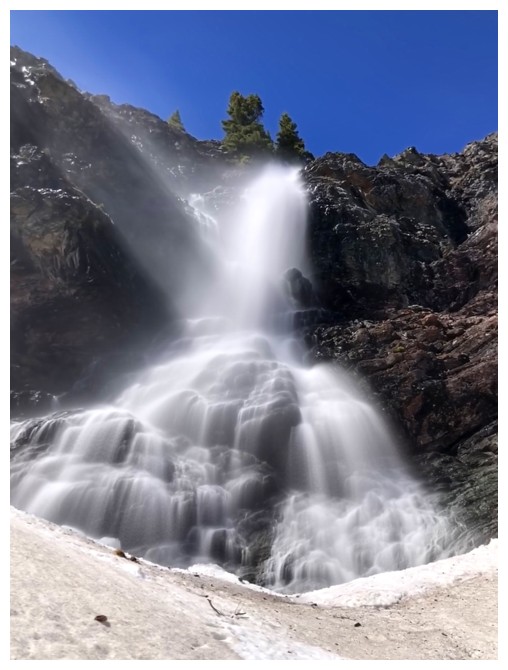
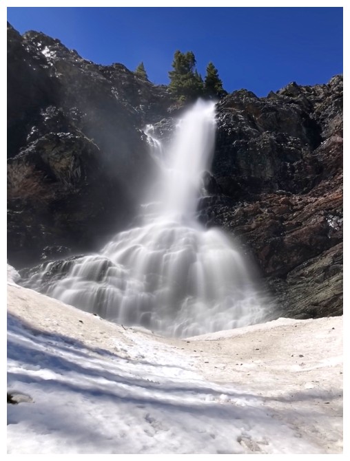
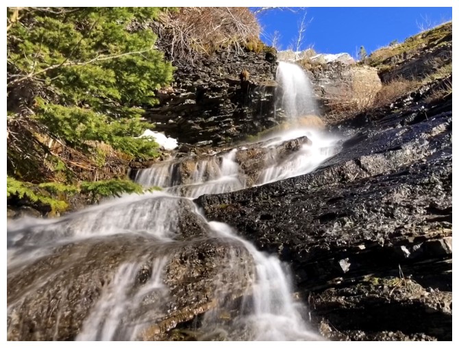
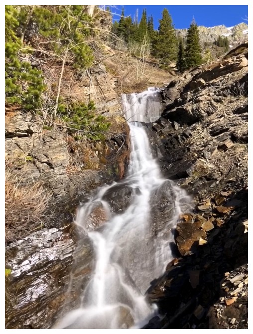
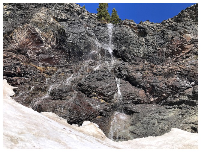
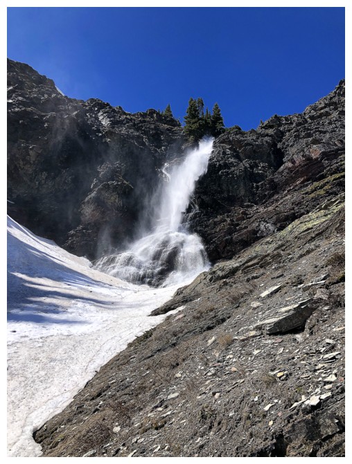
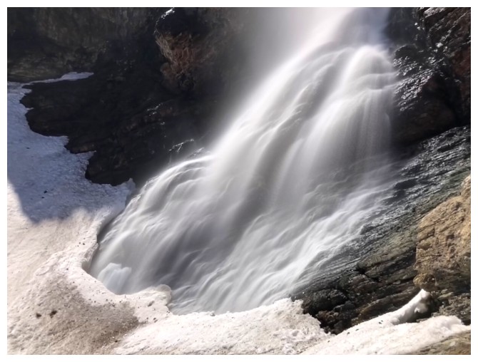
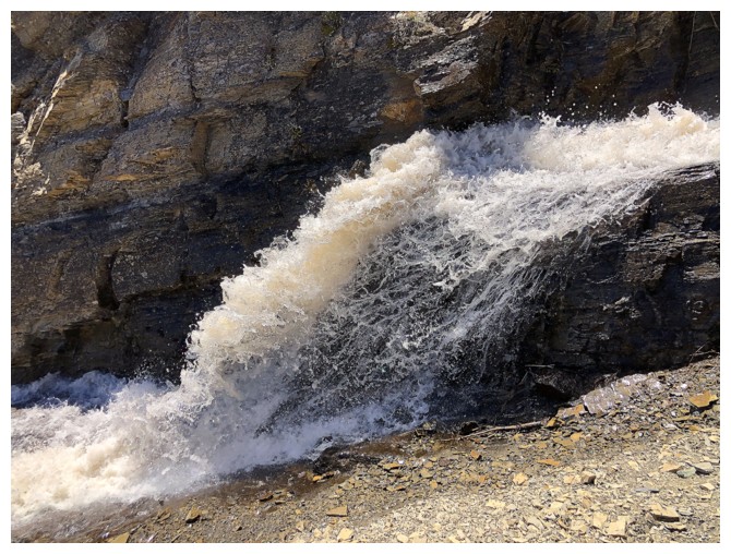
First decent look at the new and improved waterfall and a similar photo taken exactly 4 hours, 26 minutes earlier
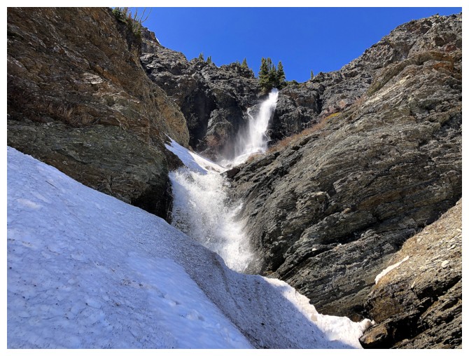
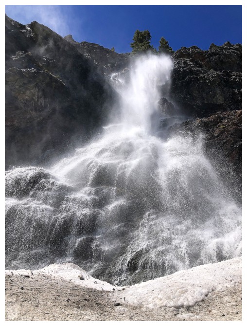
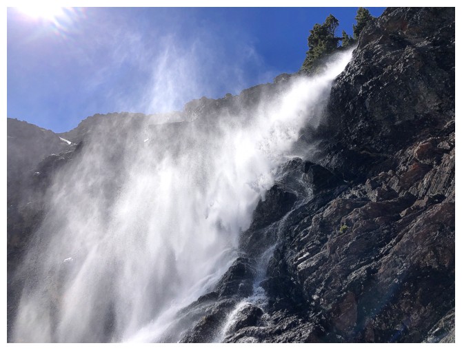
Closing in on "awe"!
Another dead tree and another traverse out of the drainage
Heading back in
Same as above
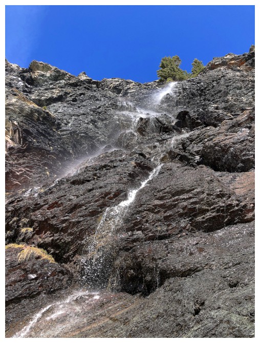
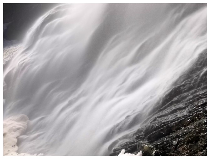
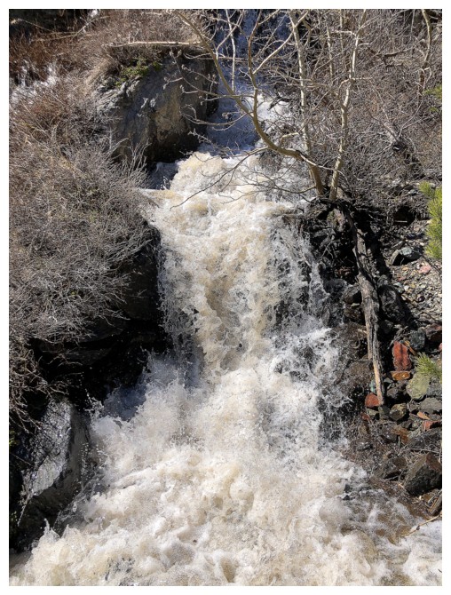
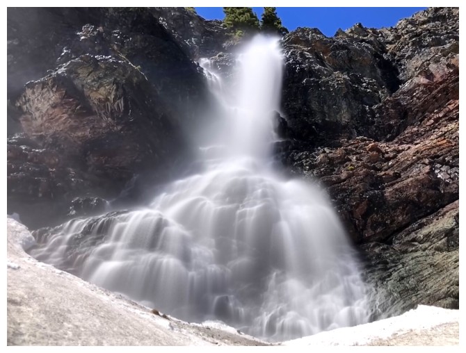 Unreal!!
Before and after
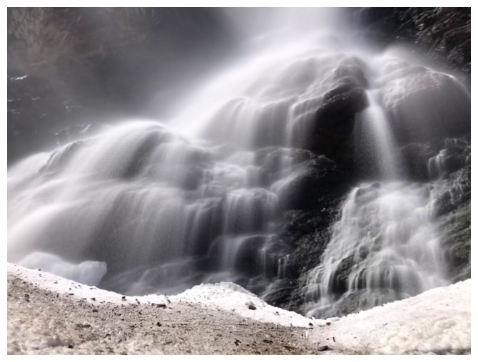
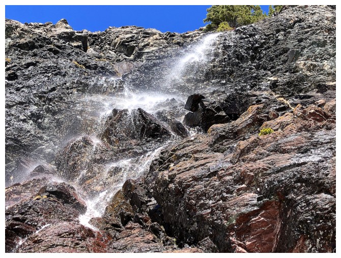
Close-up
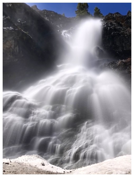
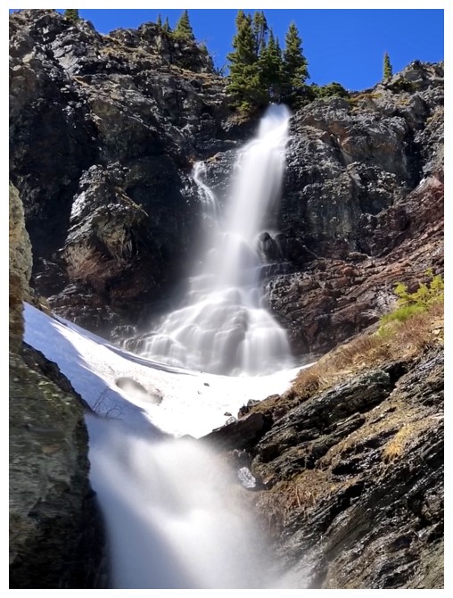
Normal exposure versus long exposure
Even closer
Not so close
After and before
Totally went overboard here with an enormous amount of photos, but it was warranted!
Parting look
Last comparison
Drywood for the second last time
Heading down
A tree duo
Back into the drainage to finish the descent

The water was much muddier
The view of Drywood Mountain from the main tail. An easy 3.2 km bike ride finished a mind-bending day!
The End
LOG