Bridle Peak V
December 31, 2025
Mountain height: 2180 m
Elevation gain: approximately
600 m
Ascent time: 4:25
Descent time: 1:40
Solo scramble.
What a nice
surprise to be able to add this trip, on the last day of 2025, to my list of “Favourite Trips of the Year”. Perhaps even more so in light of
the fact that Bridle Peak is simply an unofficial little bump on Pincher
Ridge’s amazing east ridge. And I imagine it goes without saying that a wide
variety of stunning rock types and colours was the culprit for catapulting this
trip onto that list.
Like the
previous day on Butter Tart, another very windy day was forecast – no big
summits for me. As has become the case more often than not, I started the trip
without a specific route in mind – the “hike the road until something looks
good” approach has paid off in the past. Walking along the Drywood Falls trail,
the “good” occurred somewhere between the first two drainages on the south side
of Pincher Ridge. I had ascended both drainages, so a route between them seemed
like a good idea. I could see a few rock bands up high that might provide some
decent scenery, and I hoped the orientation of the ascent slopes would shelter
me from the wind a little or a lot.
They did and
the rock bands were way beyond “decent”! Given that my only objectives were
Bridle Peak and Cinch Hill, I had tons of time to explore the fascinating
terrain, going up and down the slopes and side to side. Even with that freedom,
I still didn’t see all the area had to offer.
Much later than
sooner, I did set my sights on the summit of Bridle and Cinch. However, since
the line I had followed would take me to the ridge between Bridle Peak and
Pincher Ridge, I decided to gain that ridge first and then follow it east to
Bridle. Hopefully, I would get a wind-assisted push over to the summit. Another
round of remarkable rock scenery was encountered en route to the ridge, and
then all hell broke loose!
The wind had
far more than an assist in mind. It wanted me off the mountain! I wasn’t
expecting its ferocity to be more intense than Butter Tart but it was much worse. At
one point, my sunglasses were ripped from my face and went sailing down the
mountain and on multiple occasions I found myself crouching down and clinging
to nearby rocks to allay my body the same fate as the glasses. I did manage to crawl
up to the summit and then a few metres down the other side for some shelter.
However, all bets were off for Cinch Hill. Getting off the mountain quickly and
safely became the top priority.
The best route
down was via the drainage between Bridle and Cinch. I did try to go over to the
south ridge of Cinch a few times, in hopes the wind was lesser, lower down, but
such was not the case. Nevertheless, the drainage offered an easy path down and
more magnificent rock and tree scenery near the bottom.
Besides the
near deadly wind, a totally awesome day on a new route. Farewell 2025!
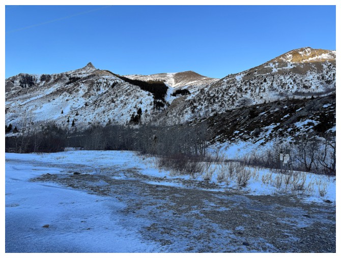
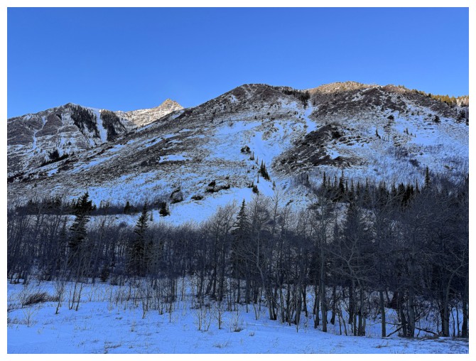
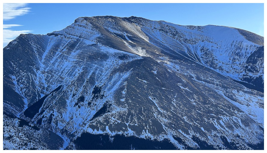
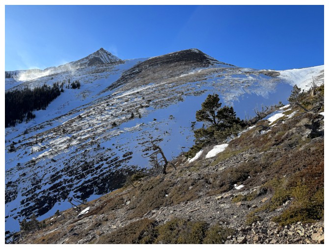
At the trailhead. From left to right: the pointed summit of Pincher Ridge, Bridle Peak, and Cinch Hill.
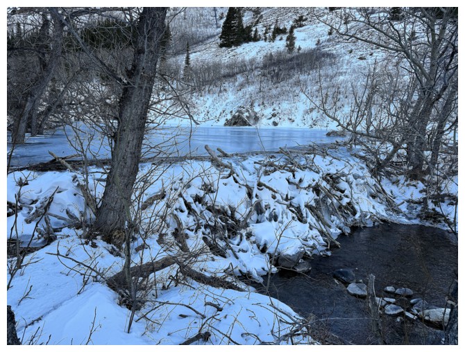
Very cool beaver dam
The intended ascent route will go up the middle of this face
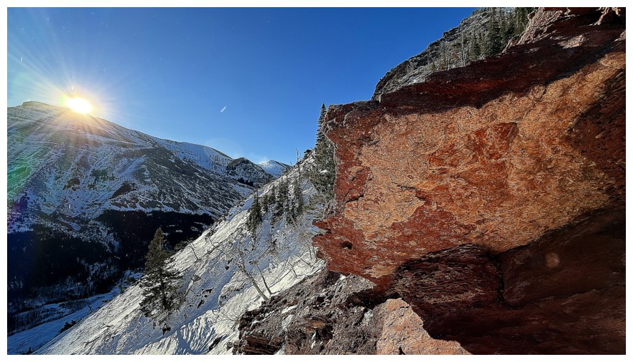
The summit of Pincher is already getting Sun, but it will be a while before the slopes I'm ascending are lit up
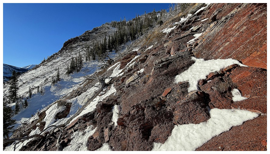
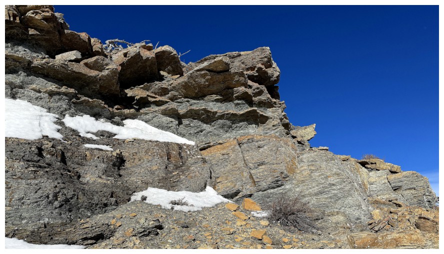
In a shallow drainage that runs up the face. I thought the snow would make for easy travel but it was too soft.
Onto less snowy terrain and patiently waiting for the Sun
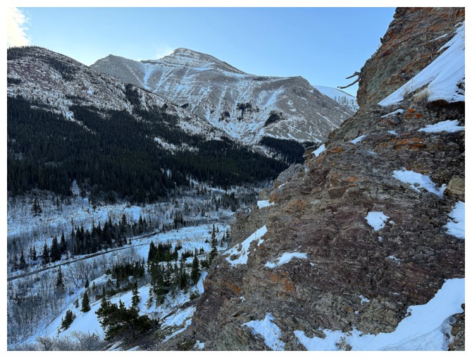
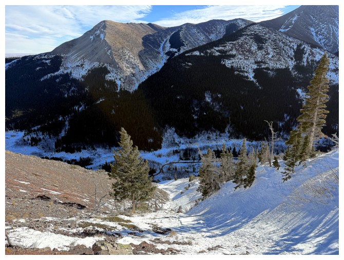
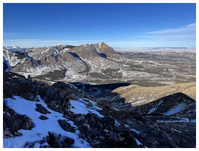
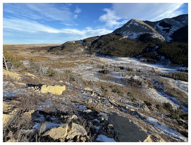
Drywood Mountain on the south side of the valley
Still waiting
Ditto
There's the Sun but this is a zoomed-in shot, far upslope
Detour to the right side of the face to check out the twisted trees and colourful rock in the background
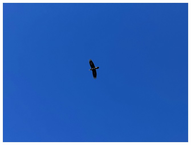
Big flying thing above. My knowledge of birds is extremely limited, but I know it's not a dove!
Drywood again. The north side of the mountain offers a cool route up, but it sees little Sun in the winter
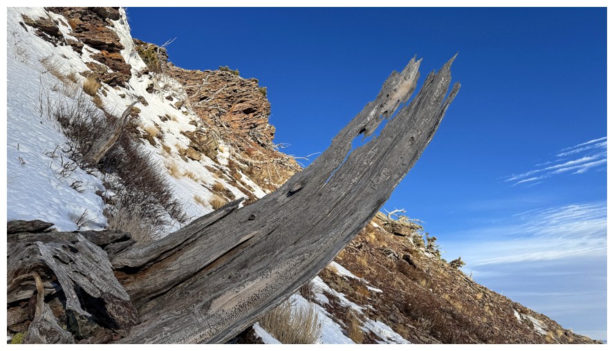
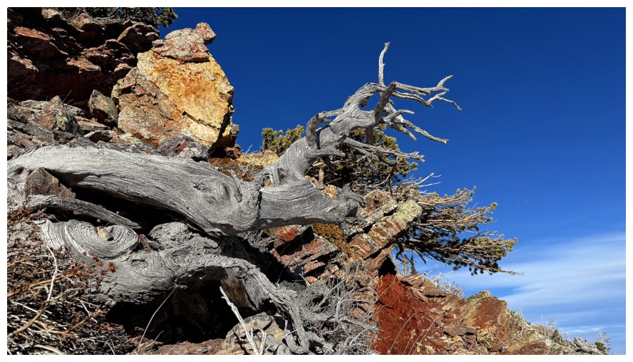
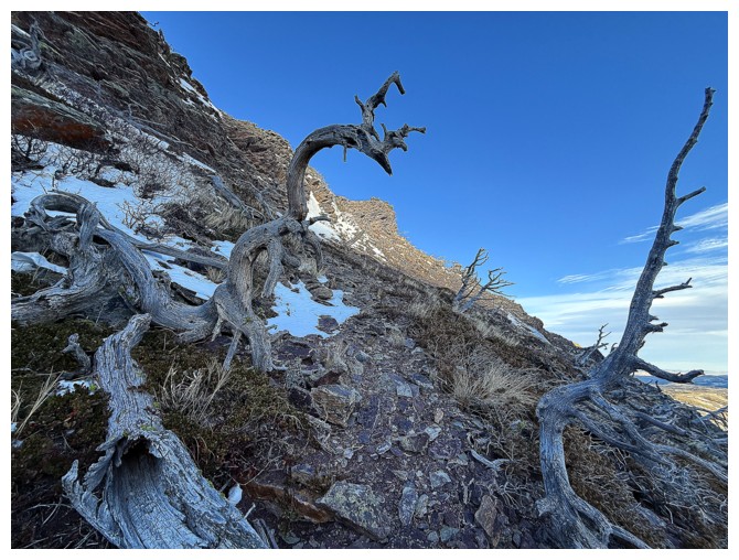
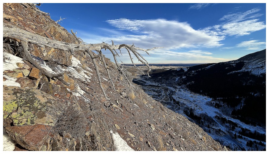
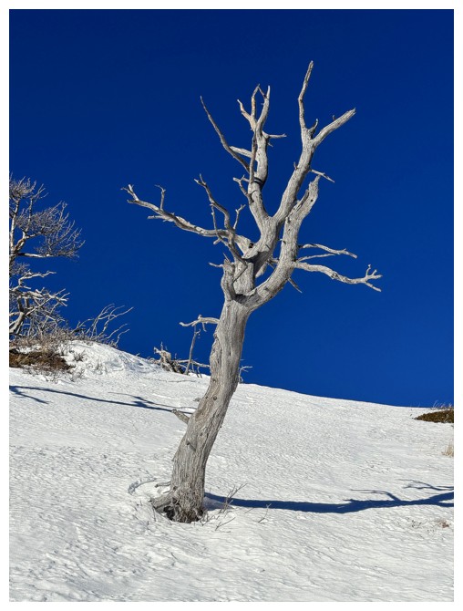
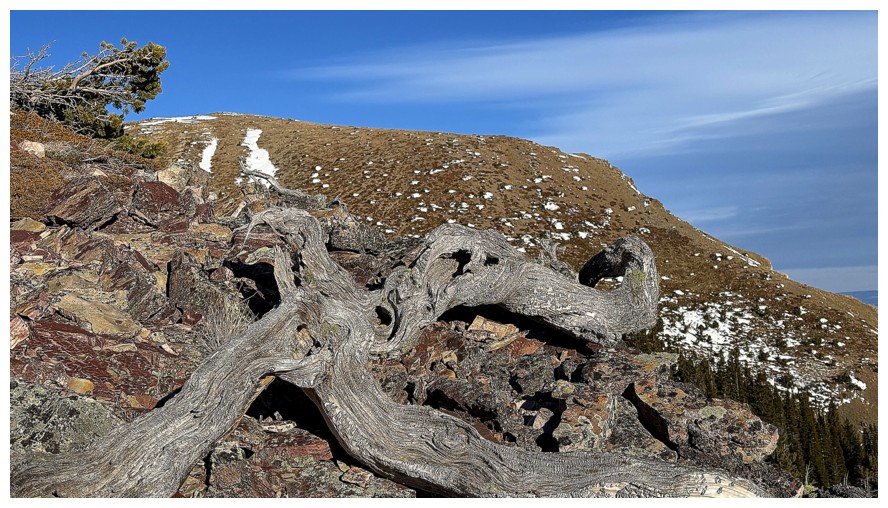
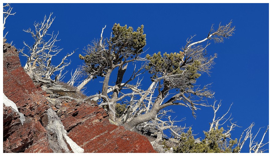
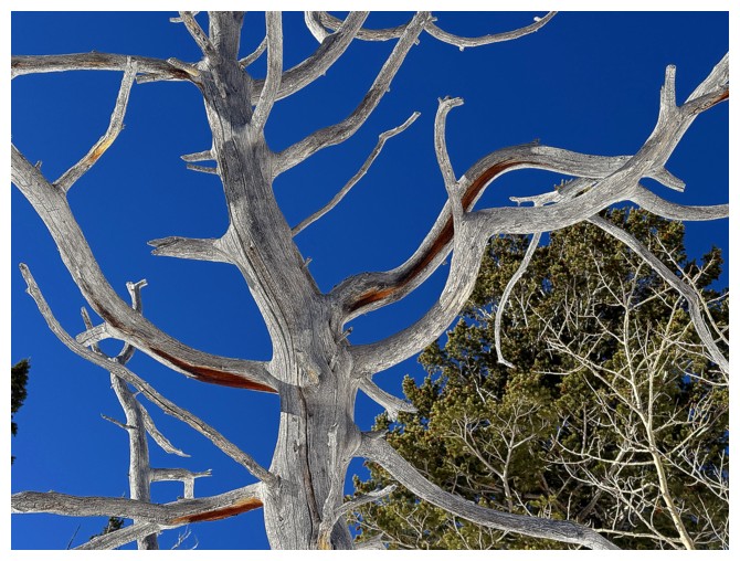
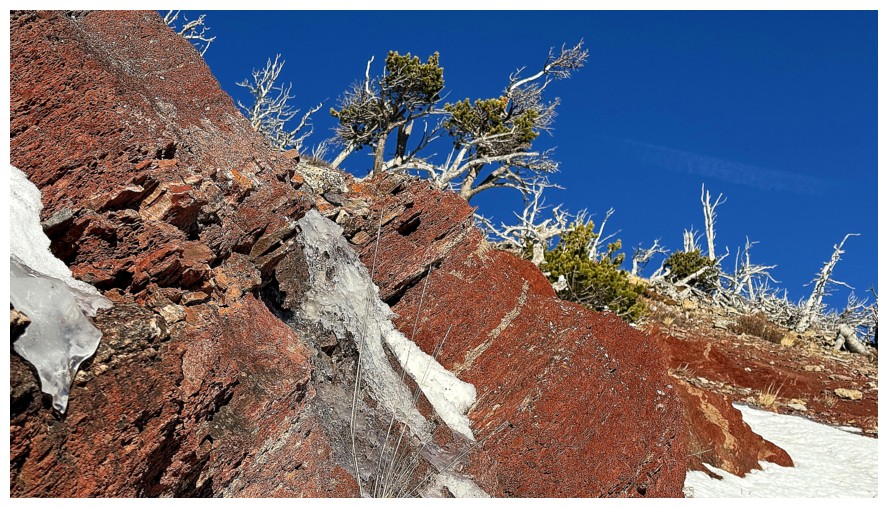
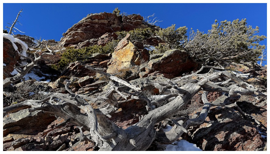
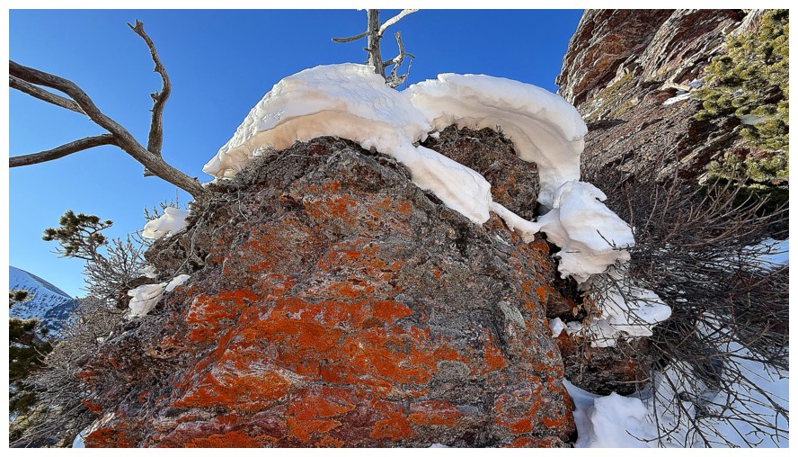
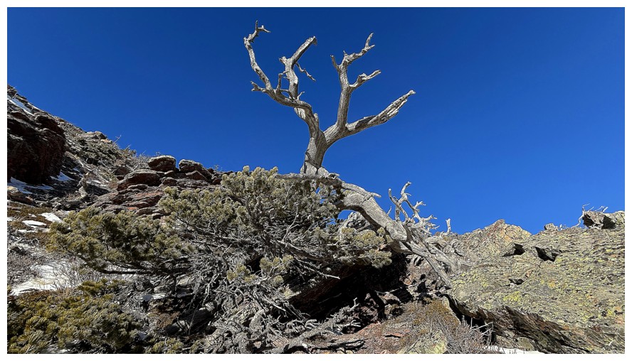
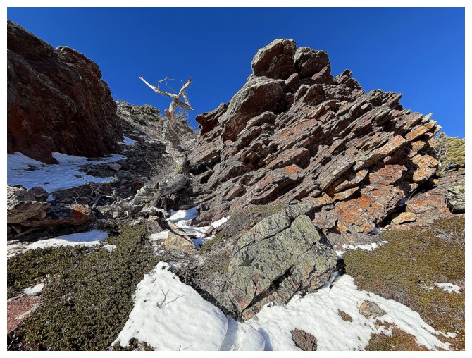
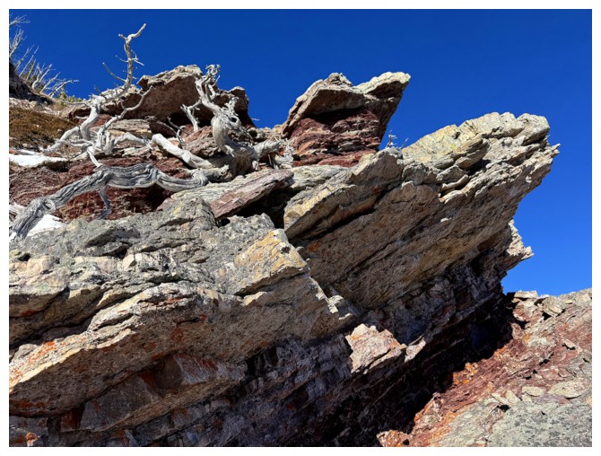
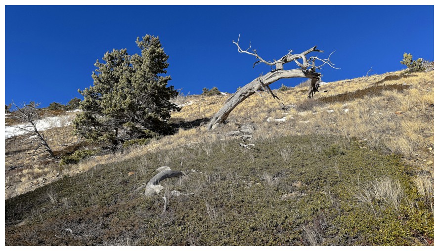
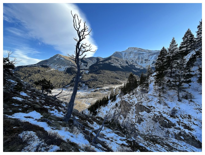
The dramatic remains of a tree
Heading for the rock band
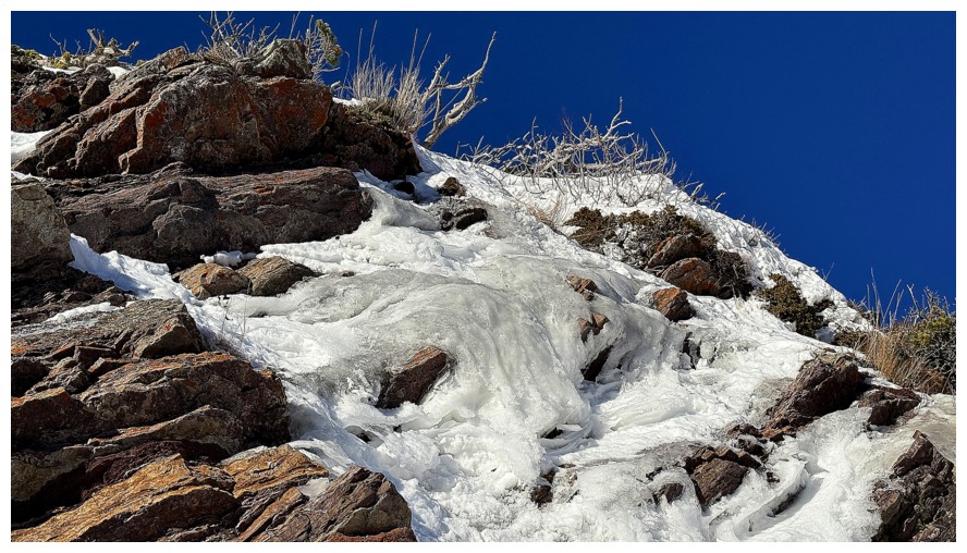
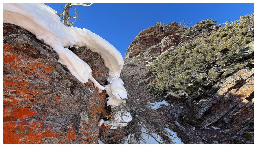
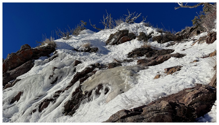
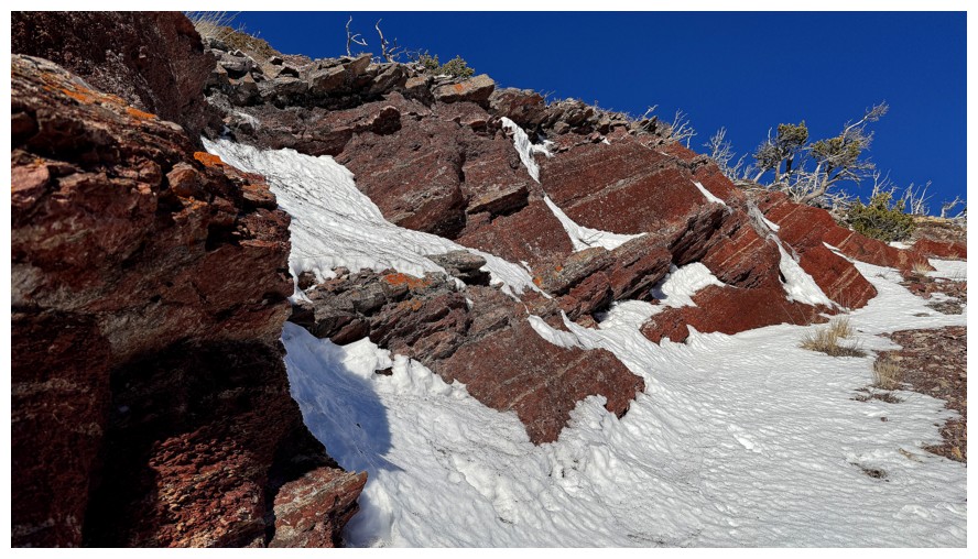
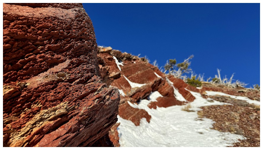
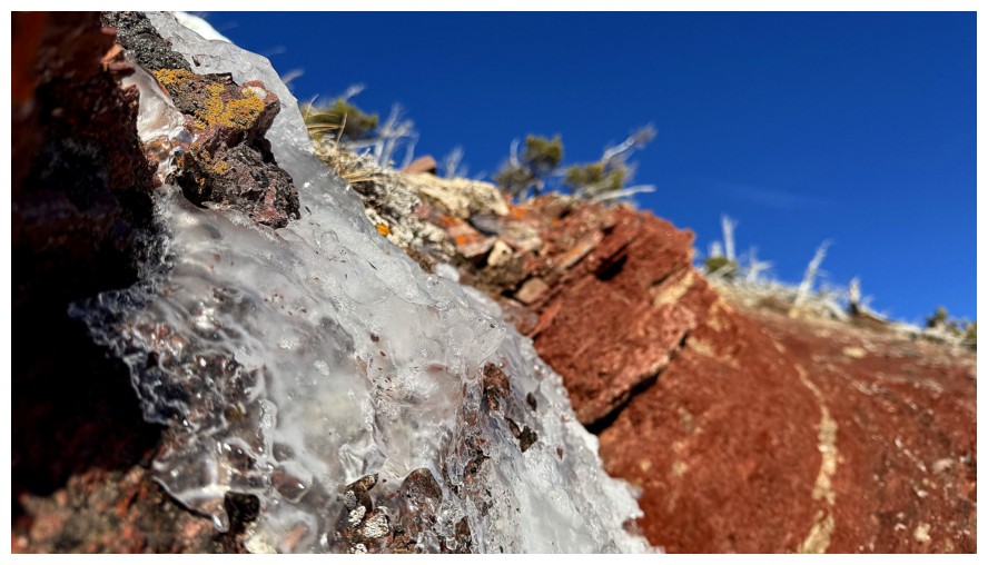
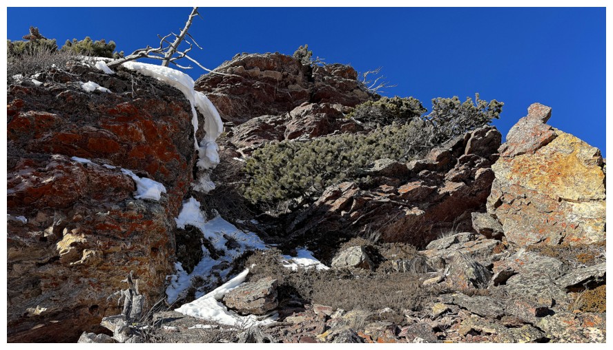
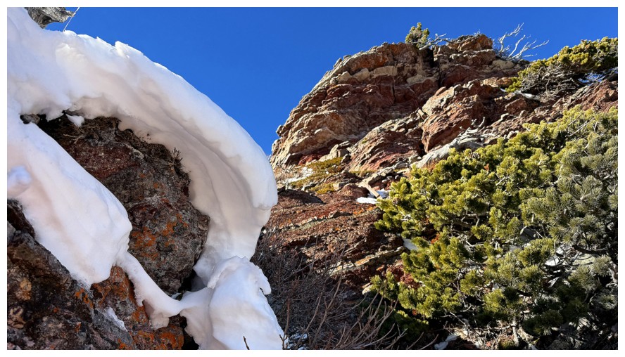
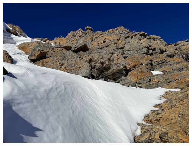
The welcome addition of a little snow and ice to the scenery
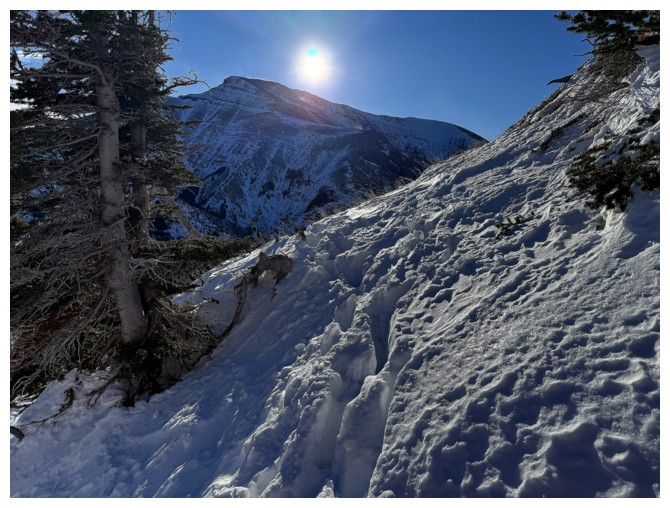
Here comes the Sun
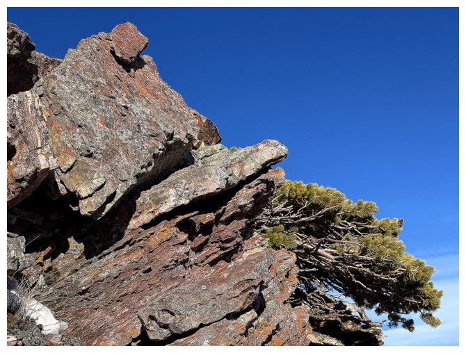
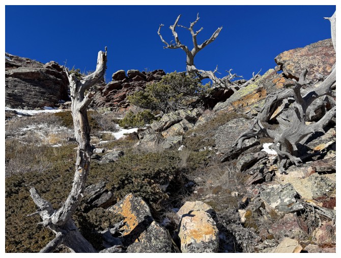
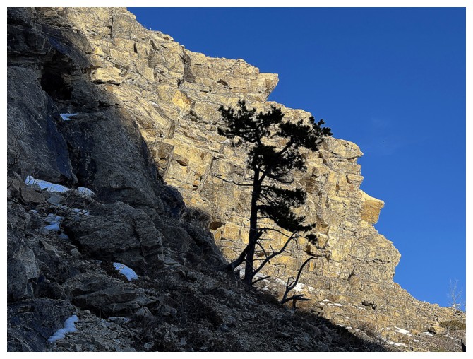
Cool tree
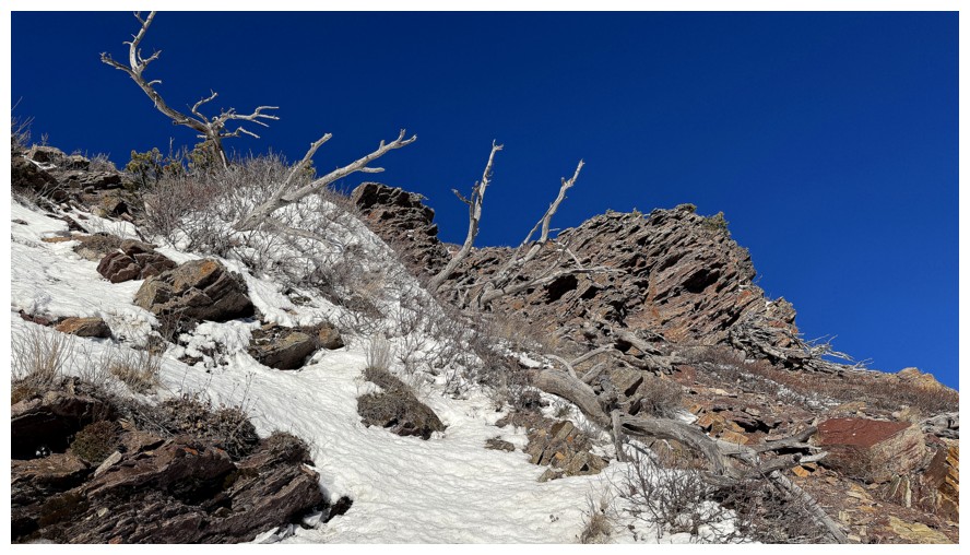
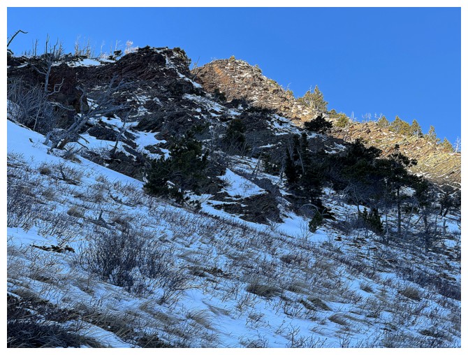
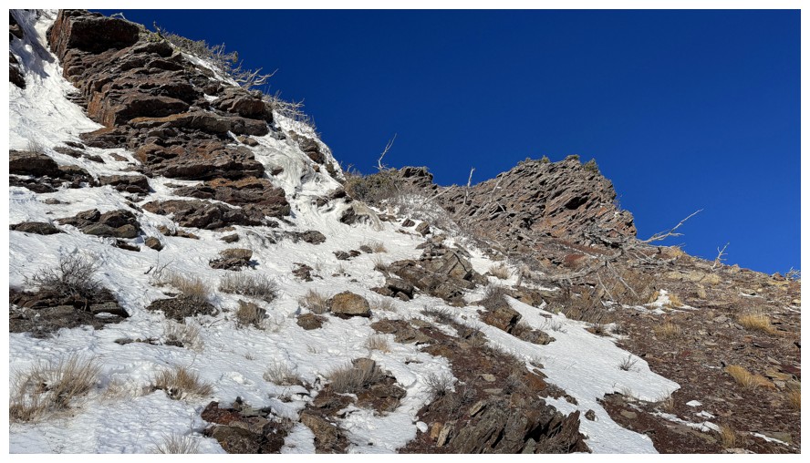
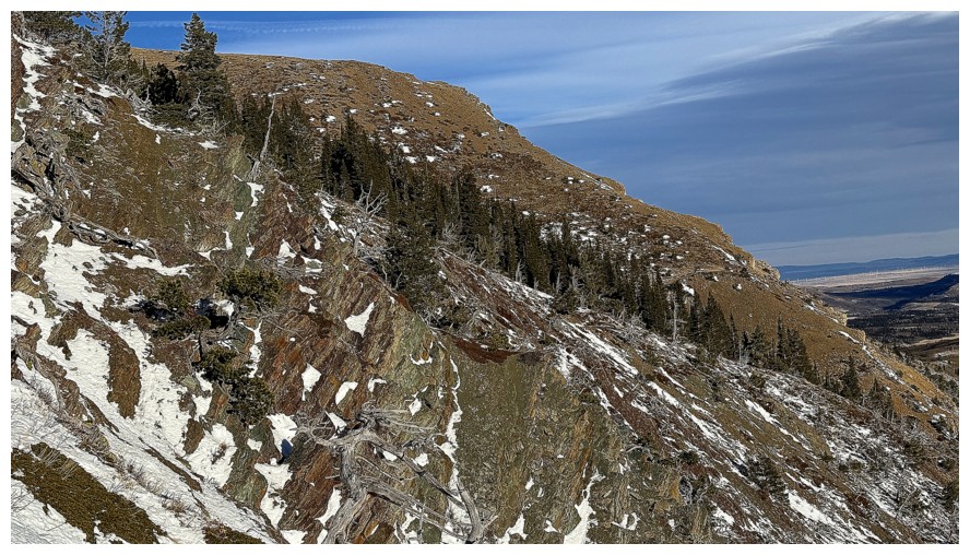
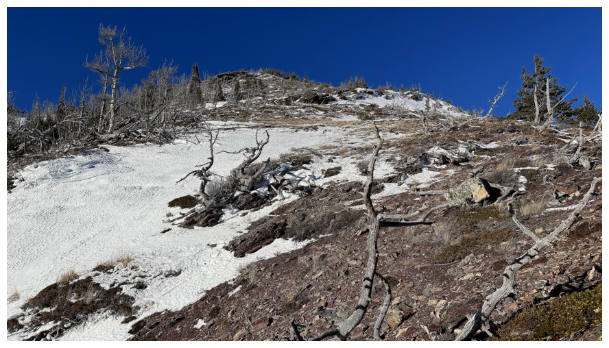
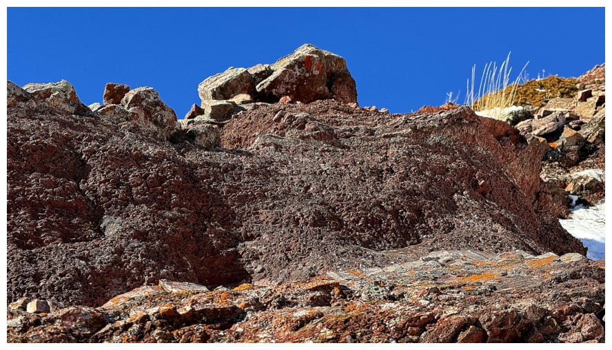
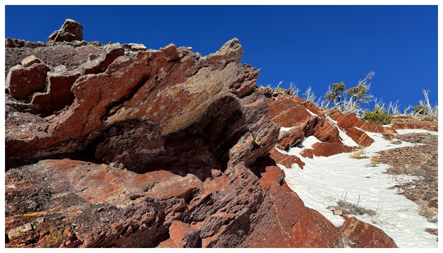
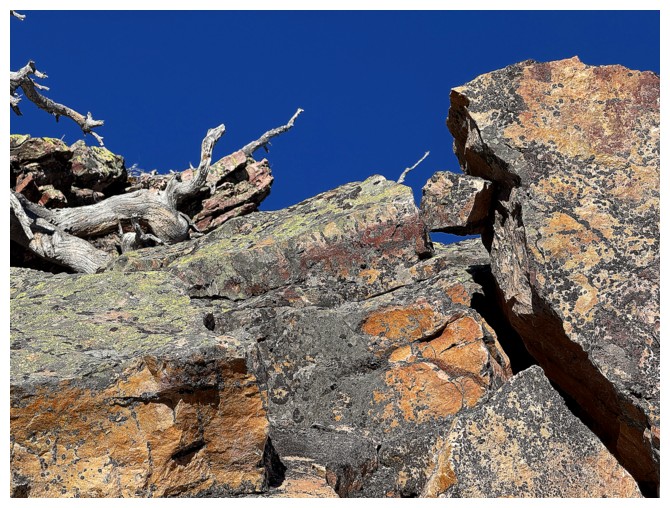
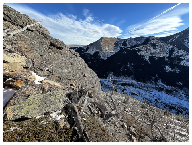
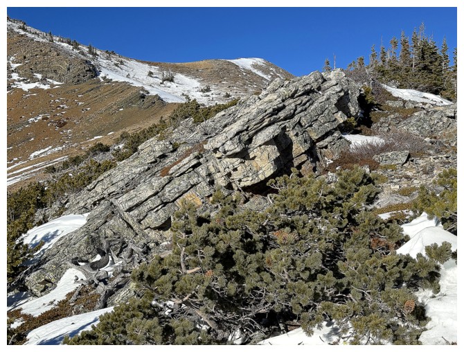
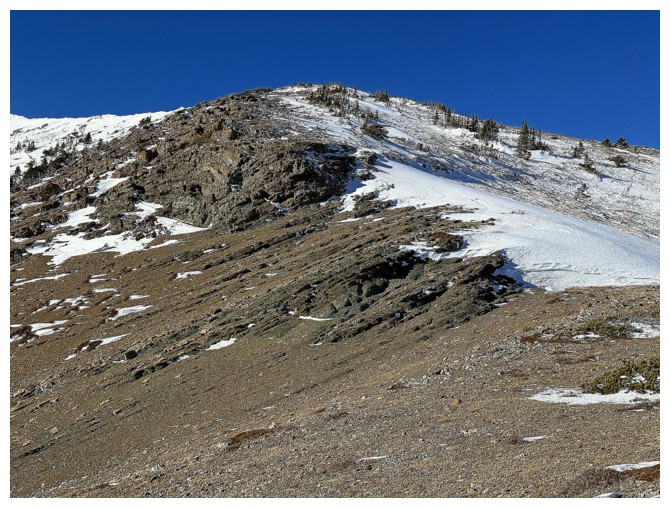
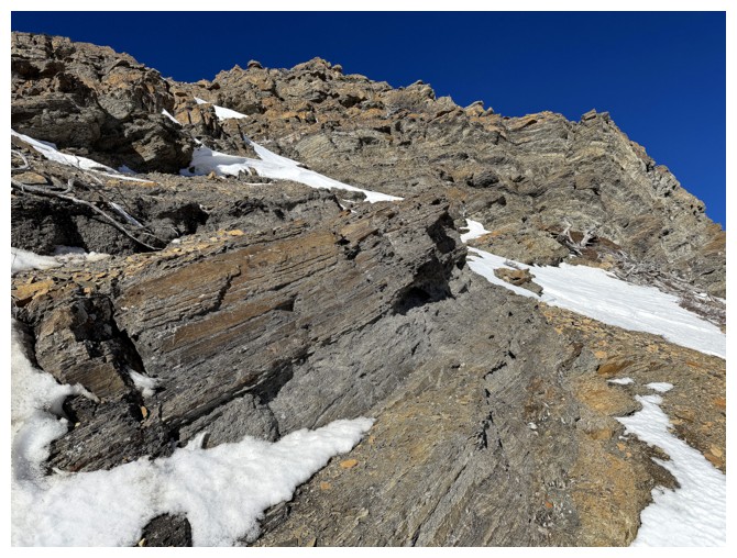
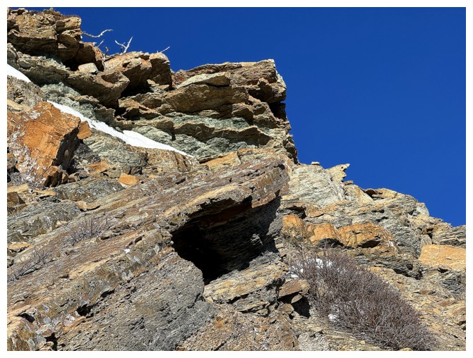
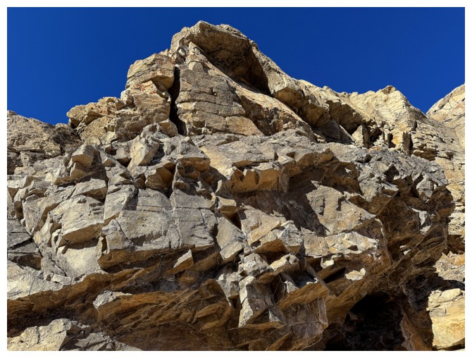
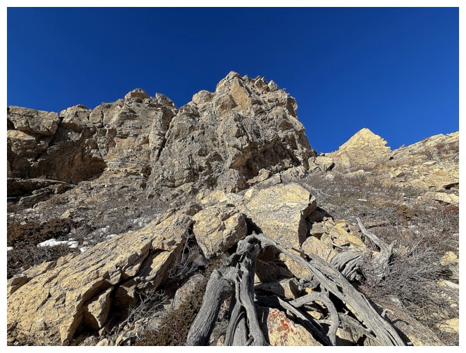
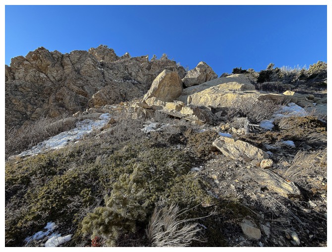
The first significant rock band to ogle
The ridge further east. I would end up descending those slopes to get out of the vicious wind
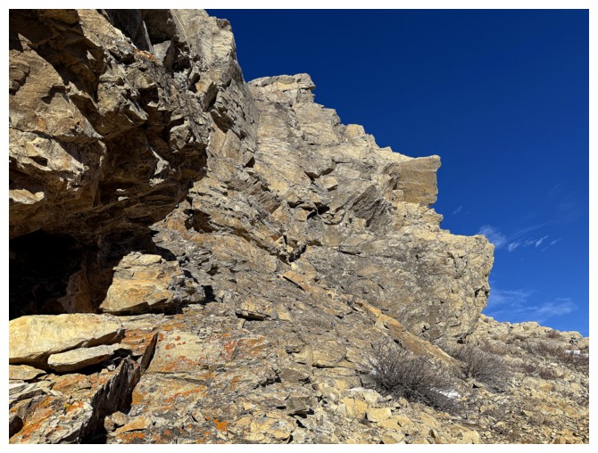
A route around and up the right side of the band appears
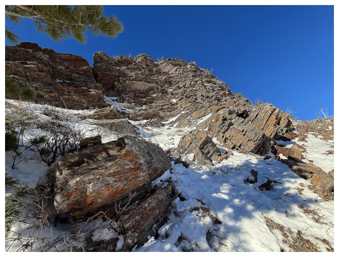
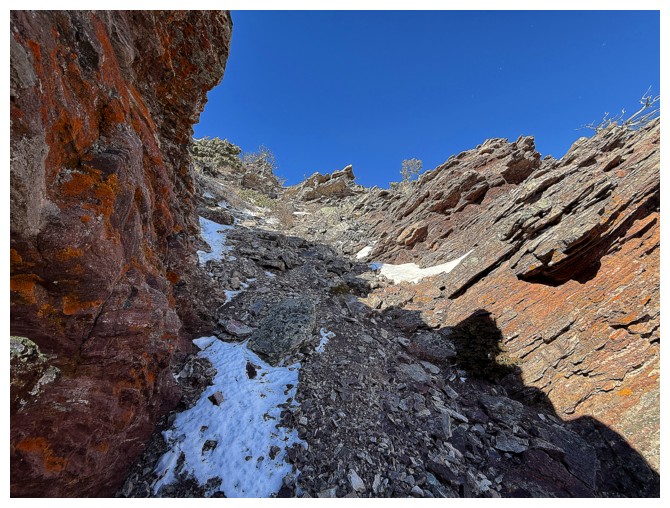
Aiming for the narrow gully near the left
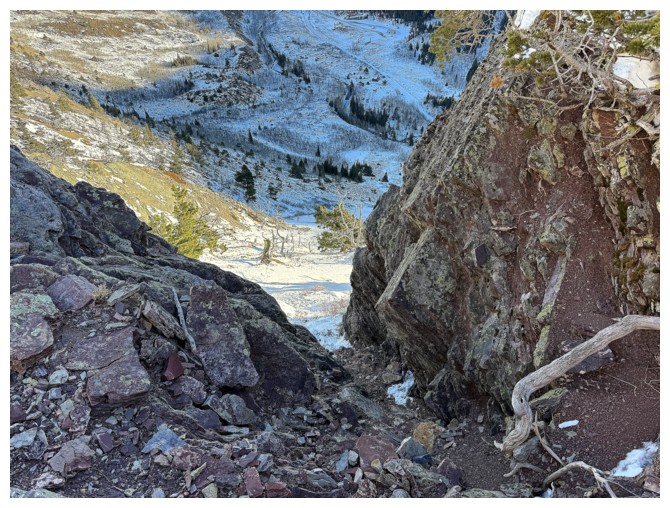
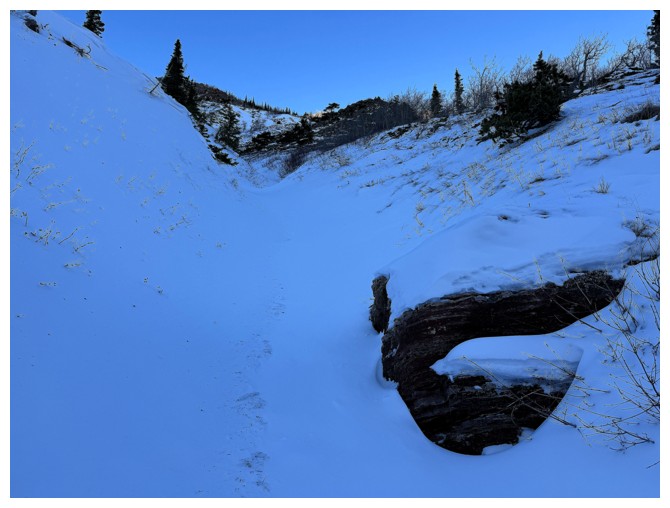
Looking down the gully I ascended
Another cool tree
And another and that descent slope
The route ahead
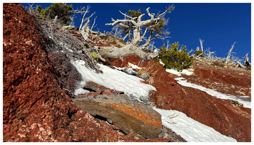
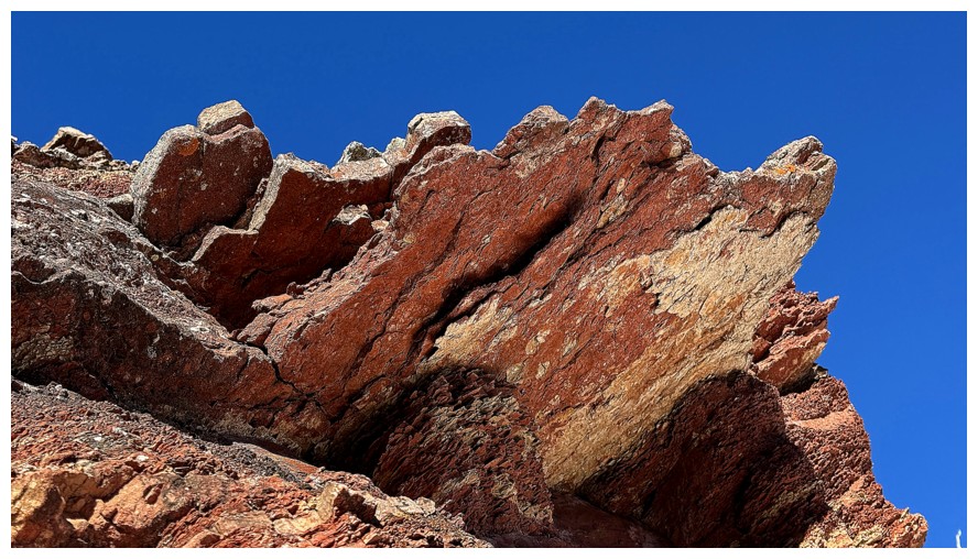
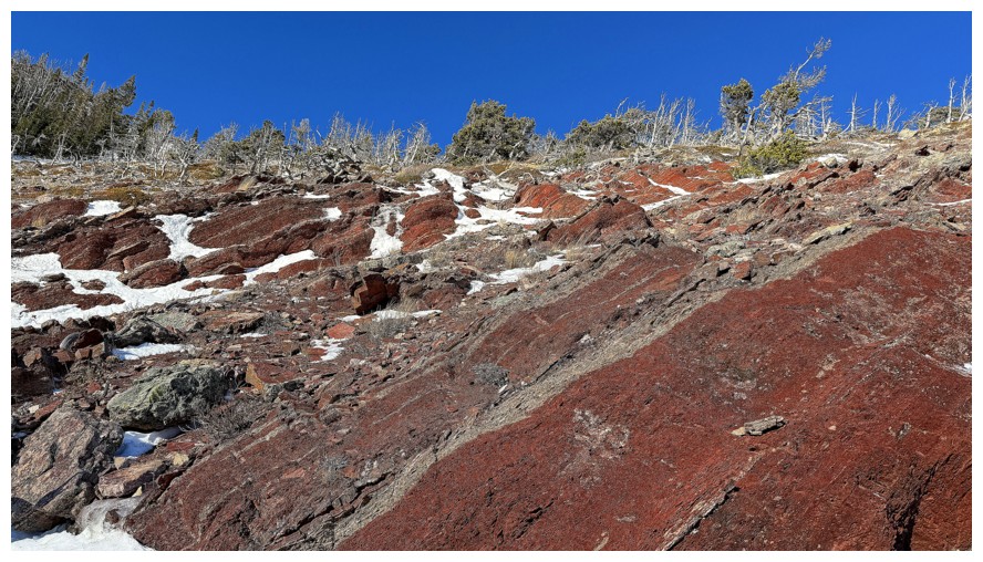
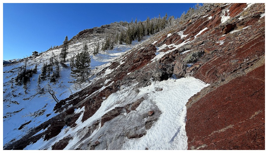
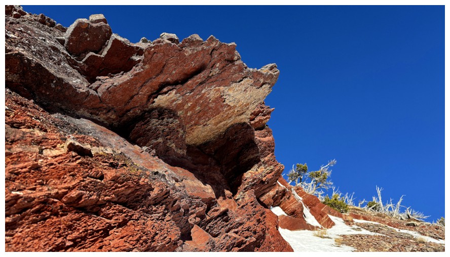
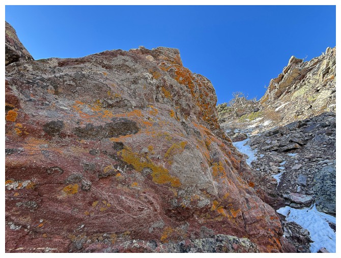
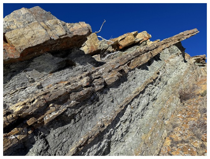
Here we go - the first round of red argillite magic and other things


Turning west and traversing over to the ridge on the other side of the shallow drainage I started in
Looking down the drainage
Following animal tracks
The scenery on the west side of the drainage looks as though it is also going to appease
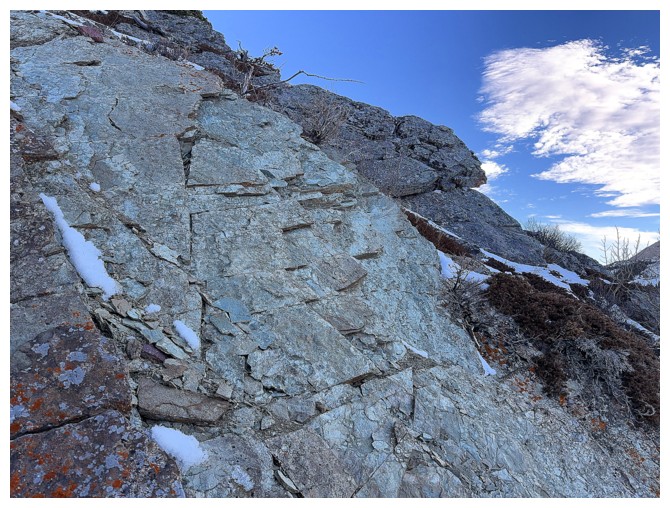
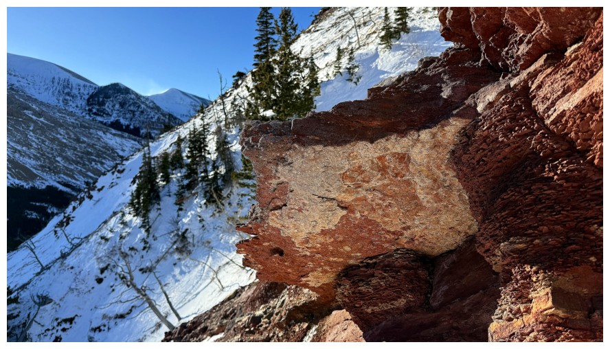
The rock at the right definitely appeased!
 Close-up
Loved the snow here
Close-up
The lichen was super bright, even without Sunlight on it
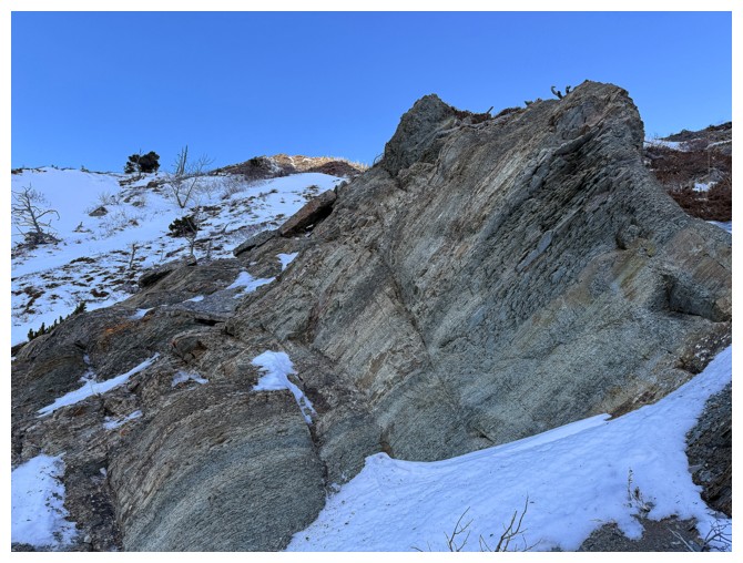
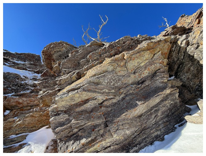
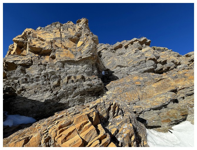
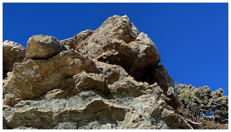
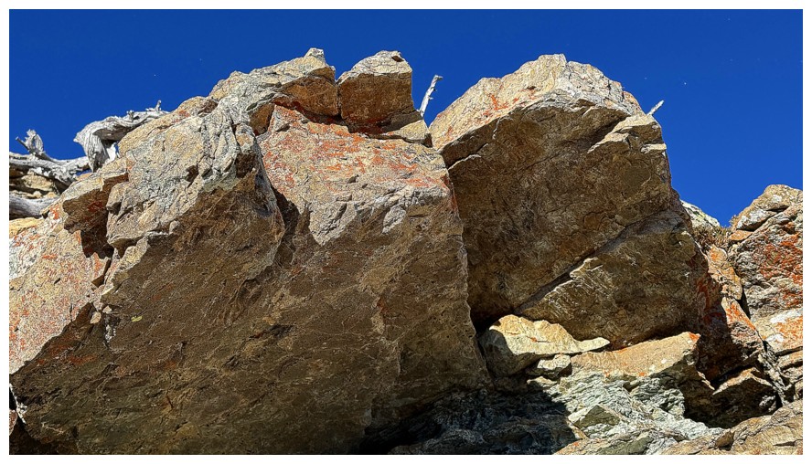
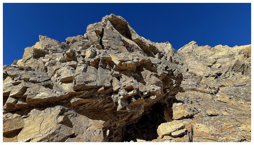
Continuing on, up to the next rock band that will stop me dead in my tracks too

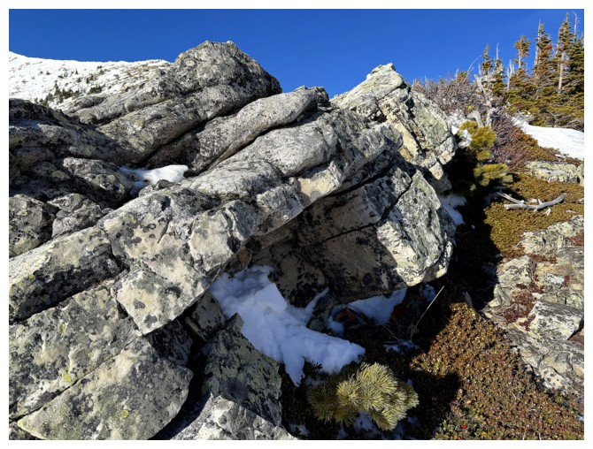
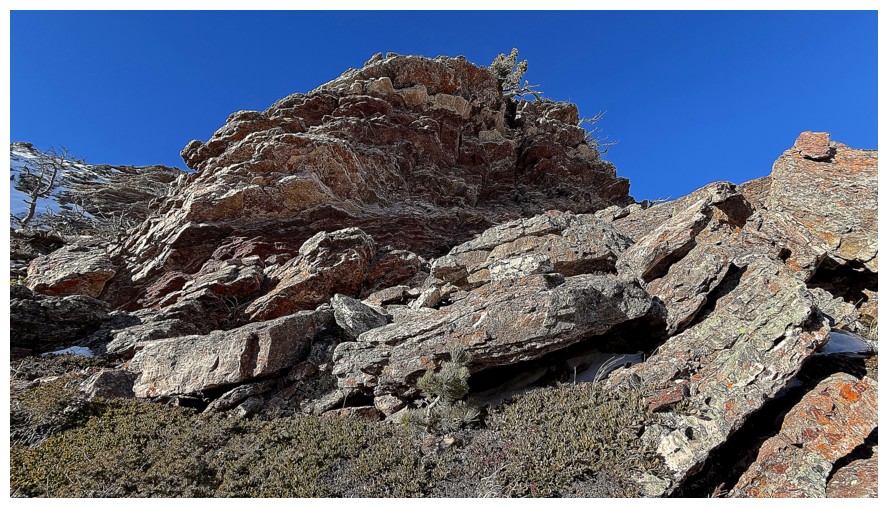 Arrived
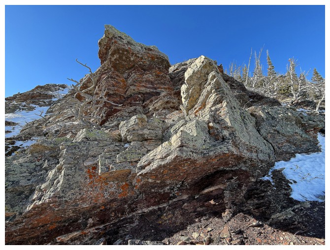
It's a beaut
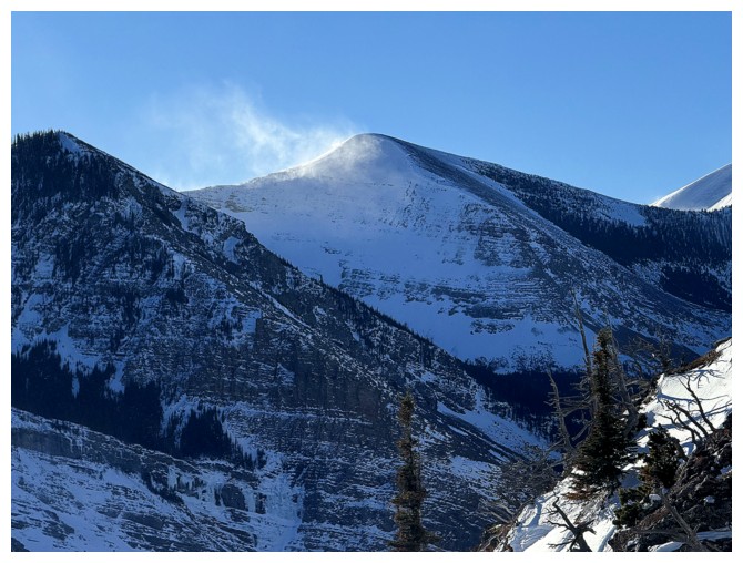
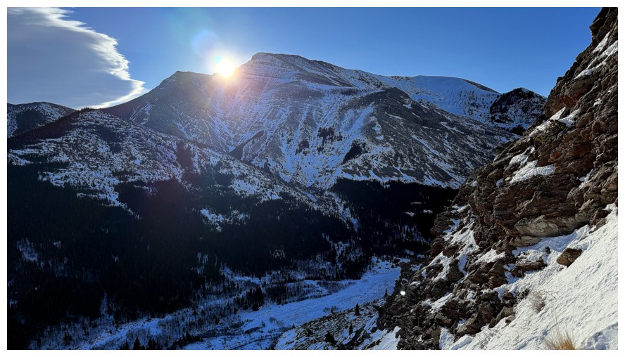
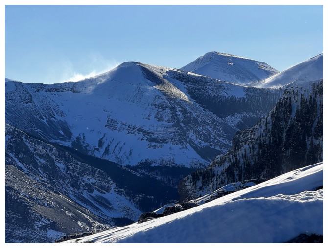
Snow blowing off Redwood Peak
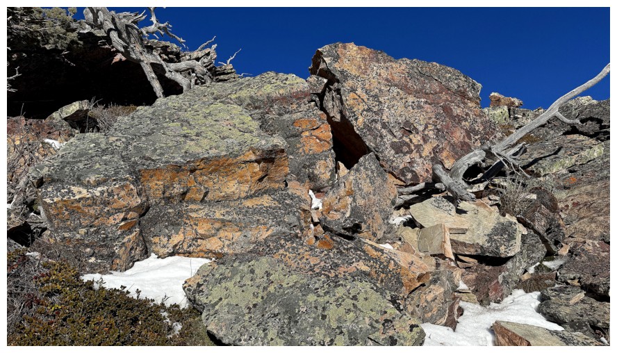
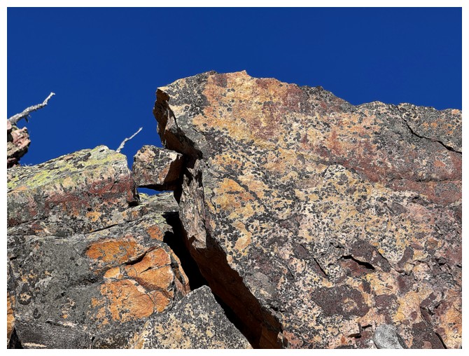
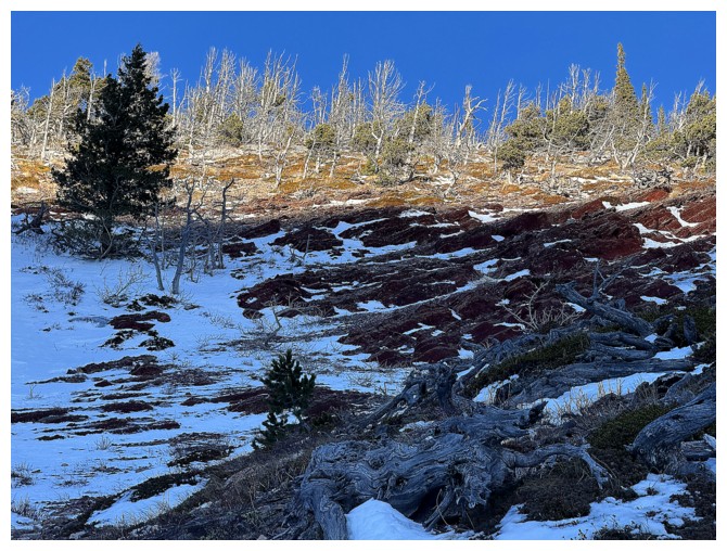
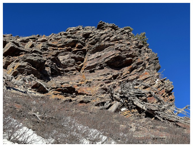
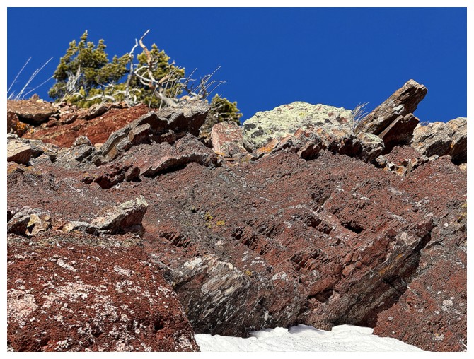
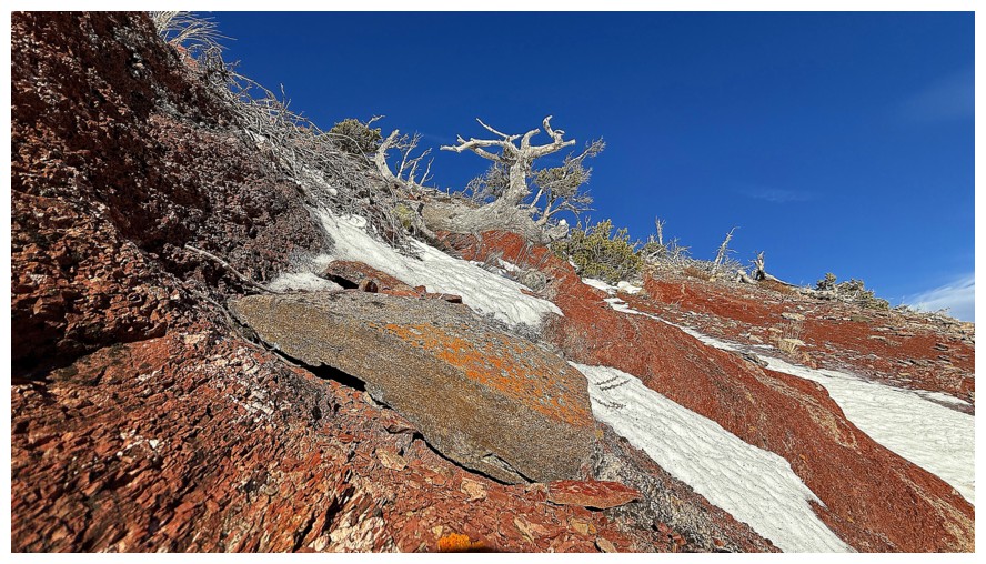
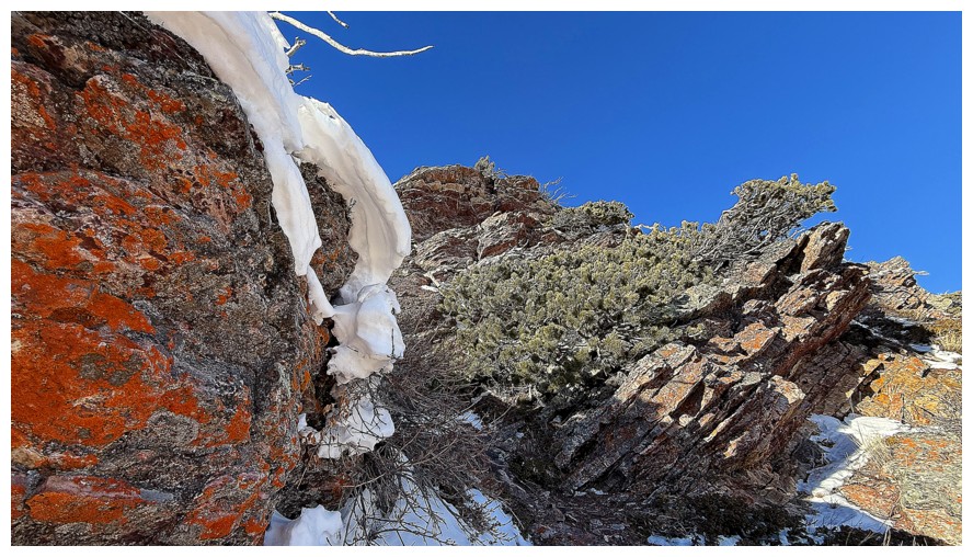
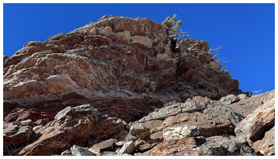
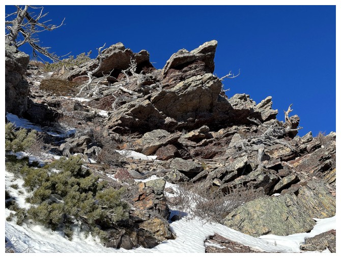
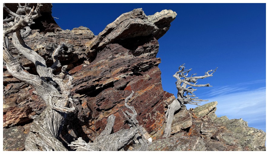
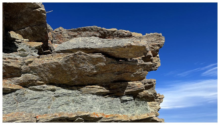
This section was one of my favourites of the day, featuring of multitude of vibrant colours of rock and lichen
Close-up
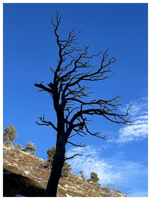
The uniqueness of each dead tree is quite remarkable
The northeast end of Drywood Mountain is a terrific little trip in itself
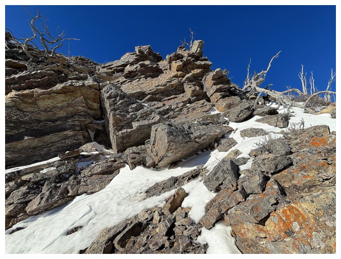
Weaving between the rock bands
Steep but easy path between these two
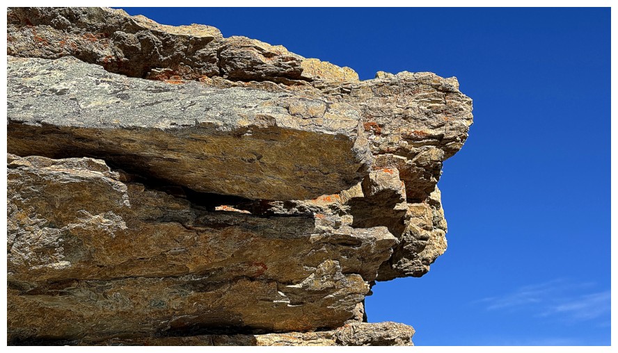
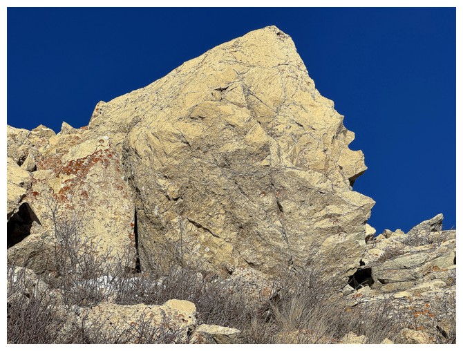
Another of my favourites
I tried to get up and around the left side of this but it was steeper and icier than expected

Went around the right instead
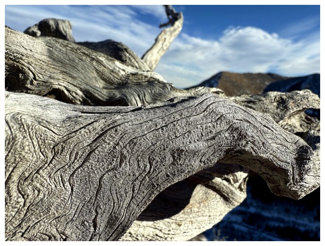
Dead tree close-up
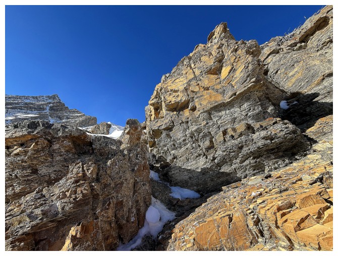
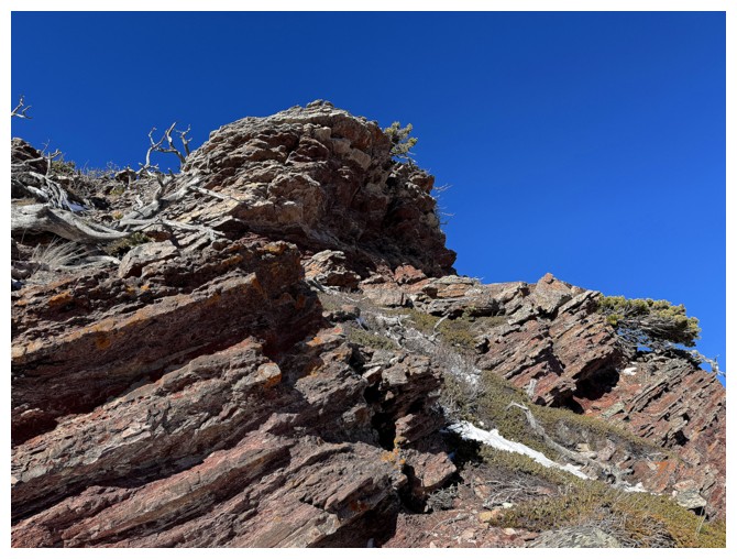
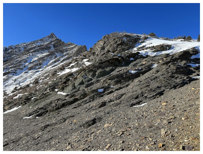
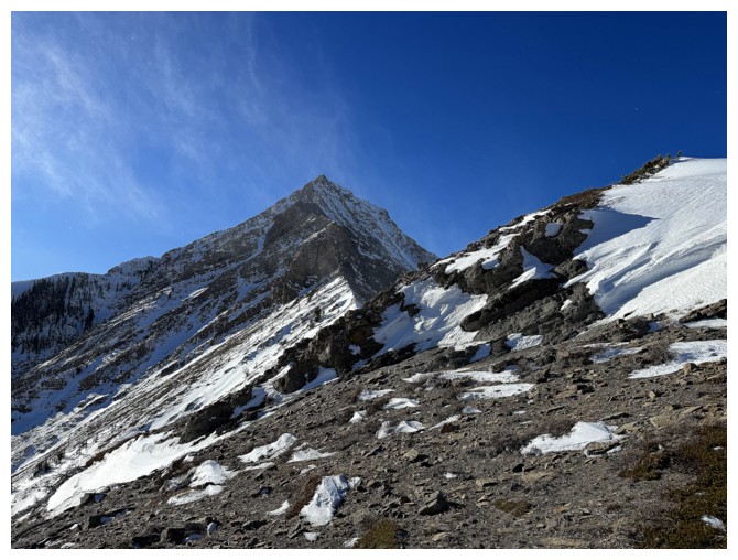
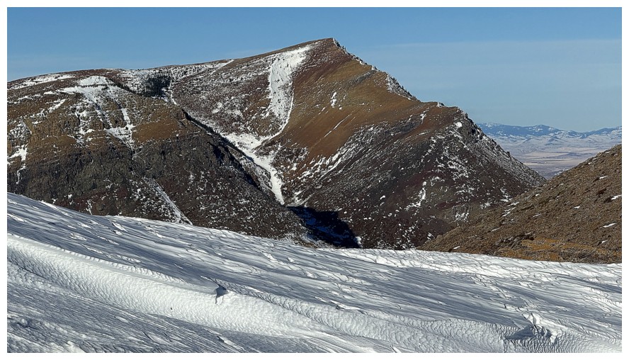
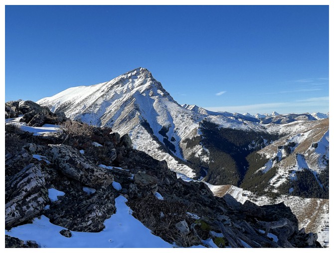
Finally above the rock bands and getting a great view of Pincher's east ridge
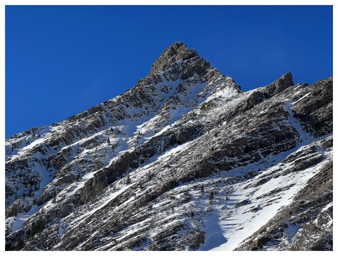
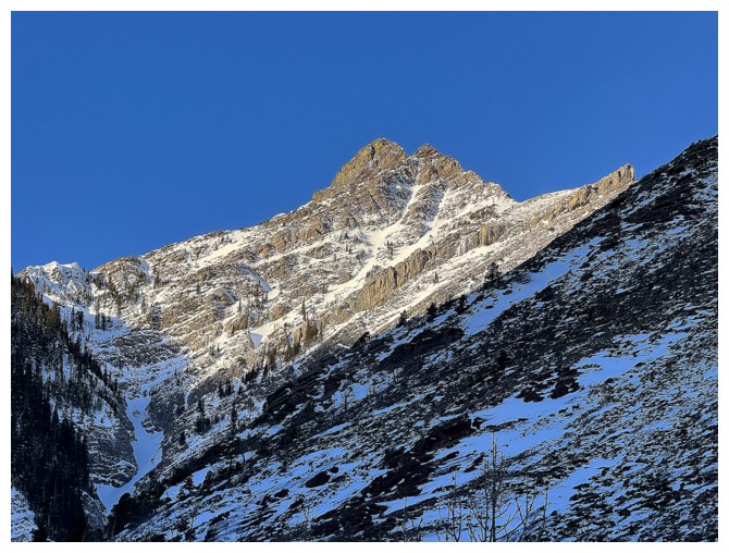
Pincher's summit
Close-up of the challenges of the east ridge - lots of route-finding required
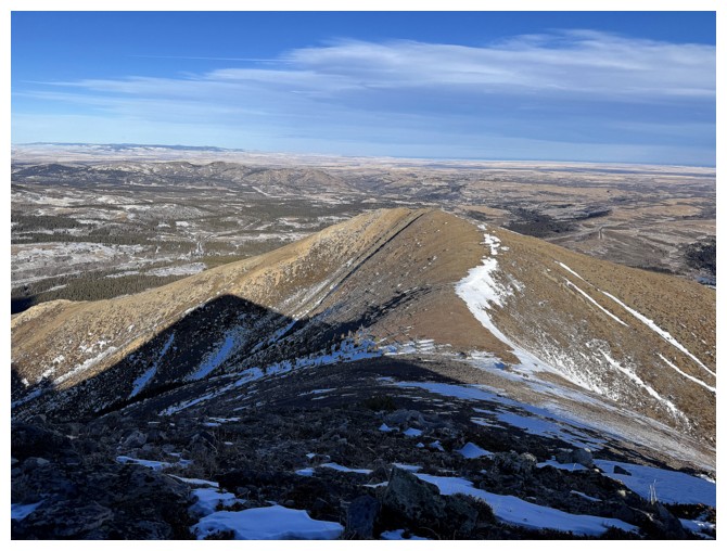
The ridge I'm on is far less challenging, but every bit as scenic
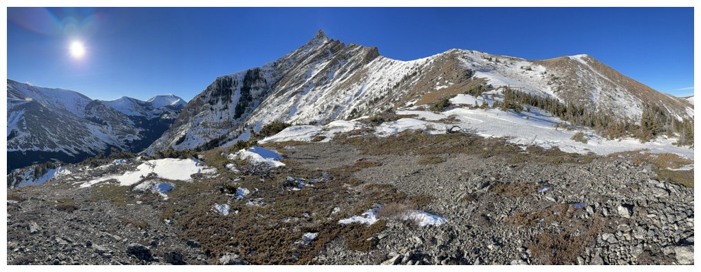
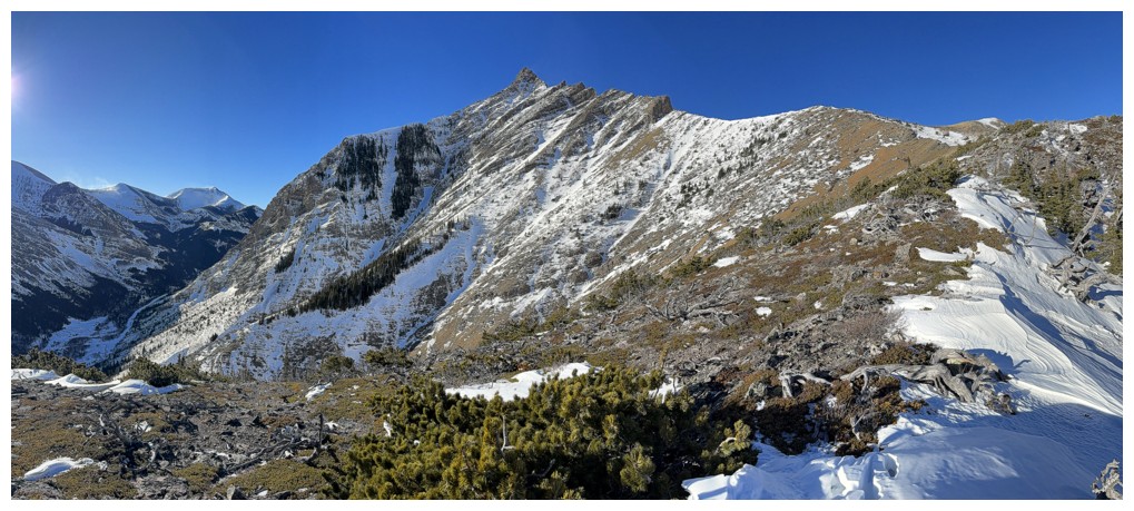
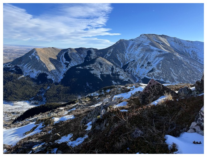
Pincher Ridge summit, Bridle Peak, and Cinch Hill
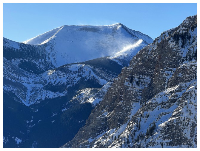
The southwest summit of Drywood Mountain is also getting pounded by the wind
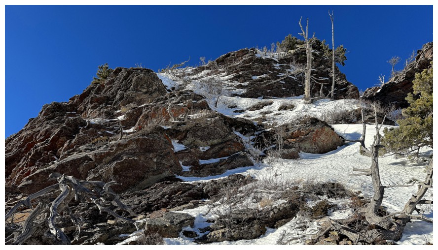
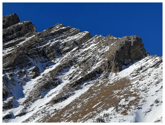
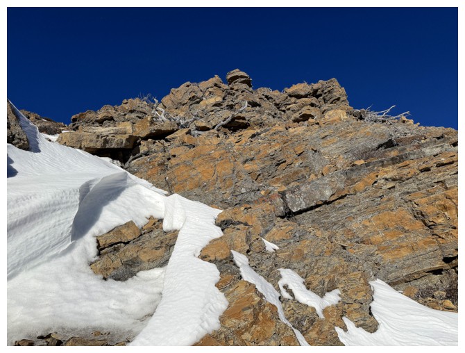
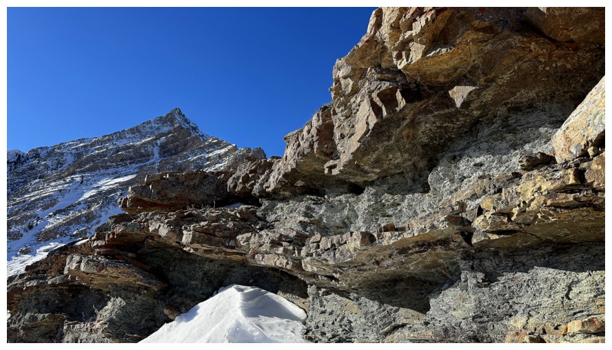
Approaching another rock band. The logical route would be to follow the
snowy ridge, but the more scenic route might be around the left side of
the band.
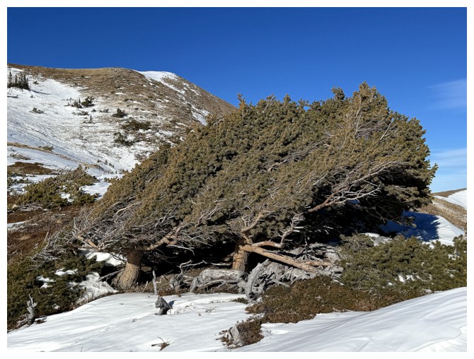
A live tree and it certainly knows which way the wind blows!
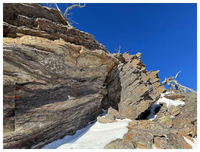
Going left to check out the west side of the band
It starts off nicely...
...and then graduates to stunning
Past the band the terrain eases up, but the wind is going to be an issue from hereon in
Snow blowing off Pincher Ridge
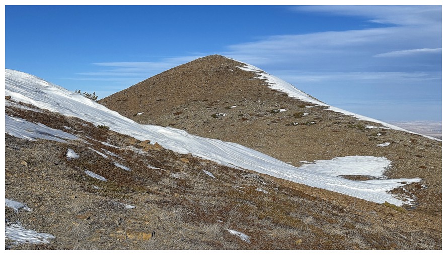
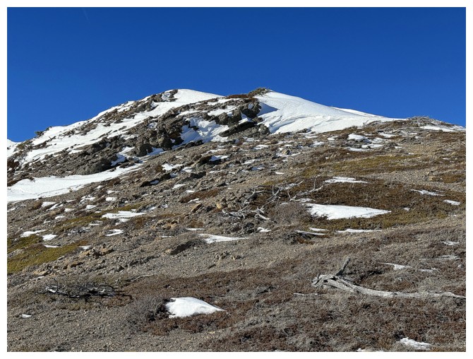
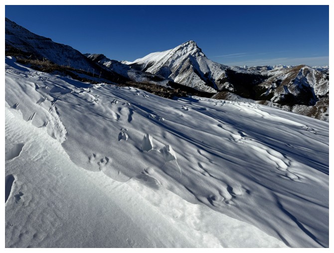
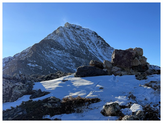
There's Bridle Peak, but first I want to gain the ridge west of the peak
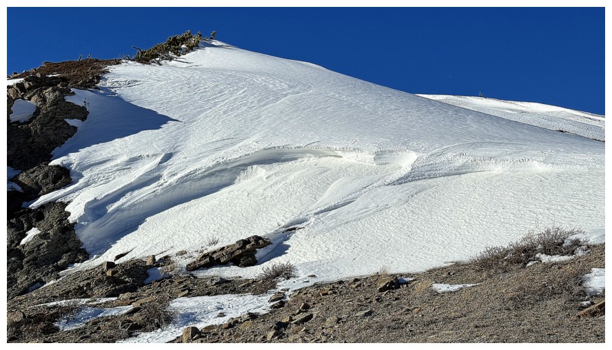
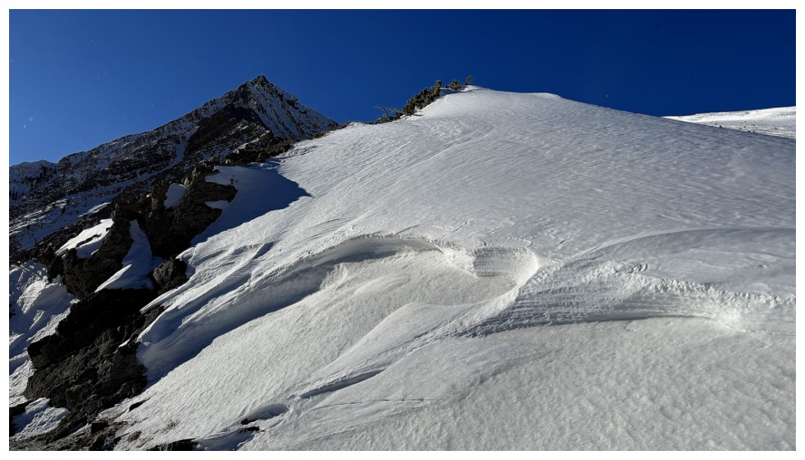
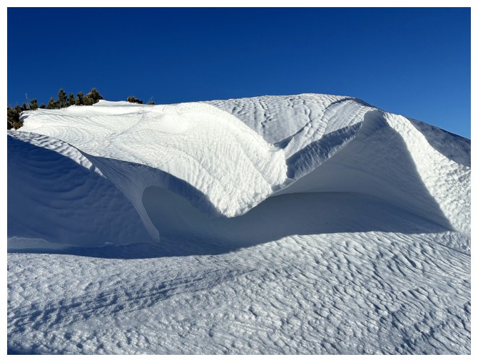
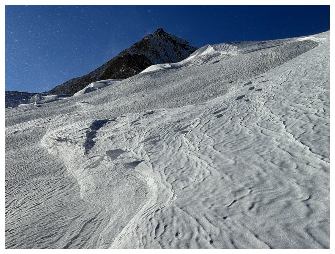
Happy to finally encounter some cool snow scenery
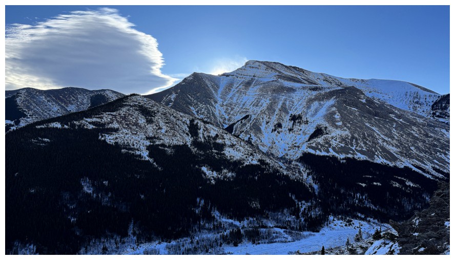
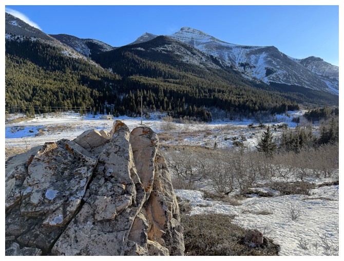
On the ridge and greeted by the sweet form of Prairie Bluff
Victoria Peak
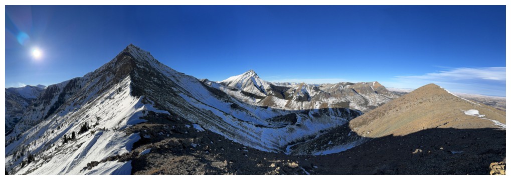
Pano from my highpoint
Closer look at Pincher's east ridge
The north side of Drywood
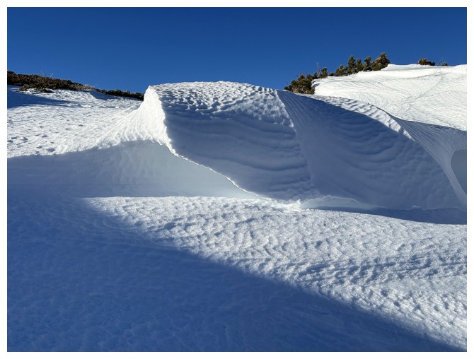
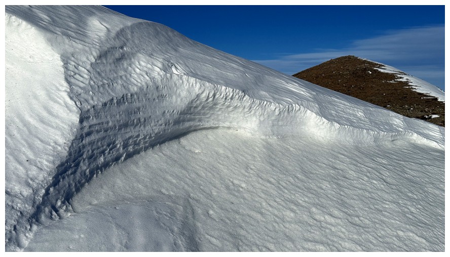
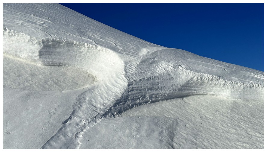
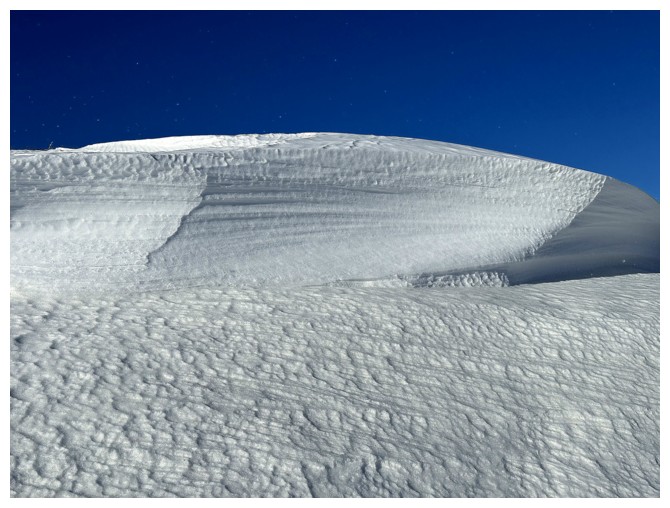
Back to being fascinated with wind-affected snow
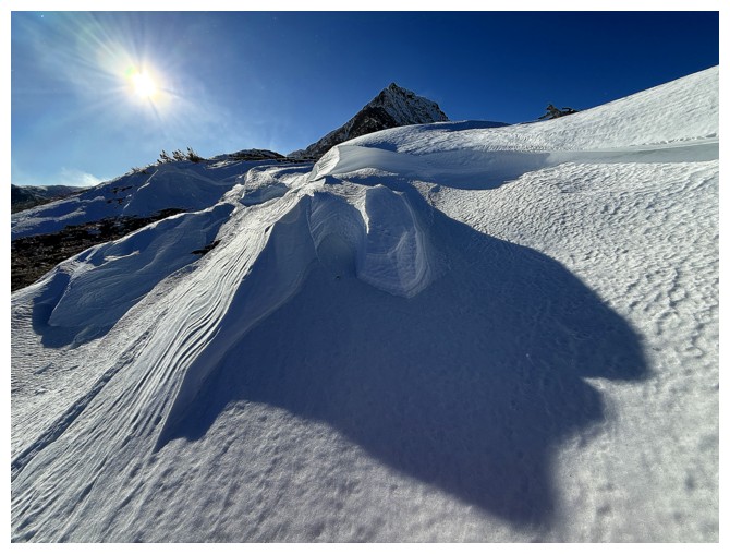
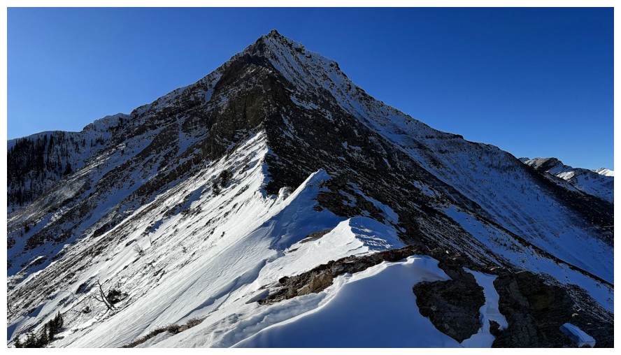
Heading down to Bridle Peak in possibly the most severe wind conditions I've ever experienced
Hiding behind the rock at the summit of Bridle to get shelter from the wind and trying to take a handful of photos
Pincher Ridge
Prairie Bluff
Drywood and its eastern outliers. We called the little peak hiding in front, The Twig!
The westerly summits of Drywood
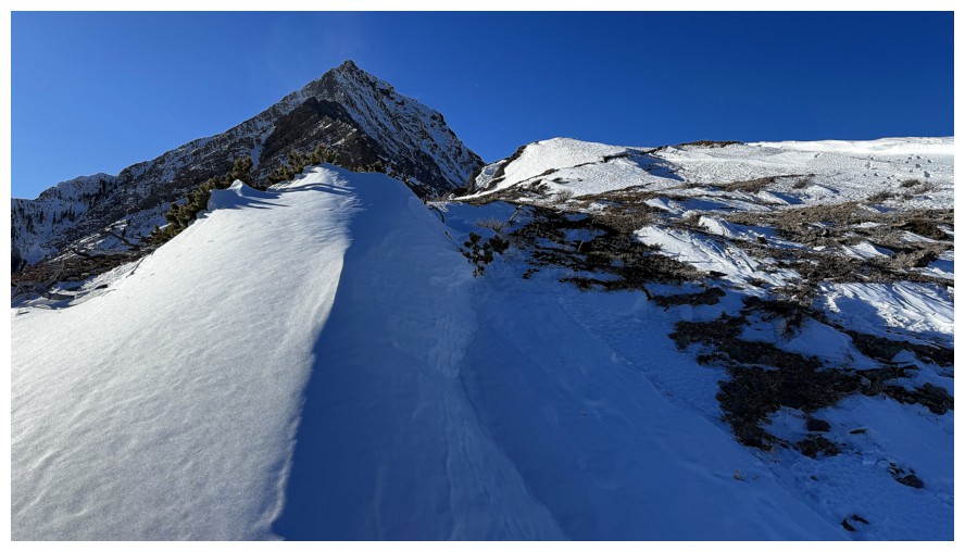
Looking back to Pincher Ridge and Bridle Peak now that I'm finally out of the wind
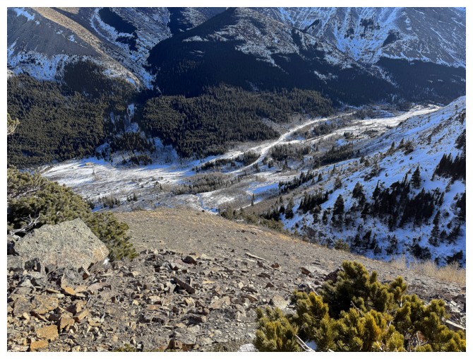
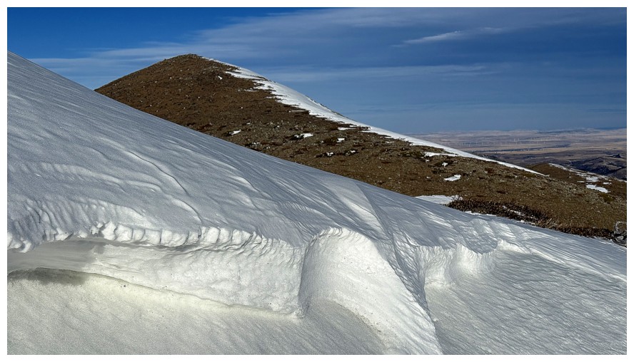
The descent route is generally very easy but does have one slightly tricky section
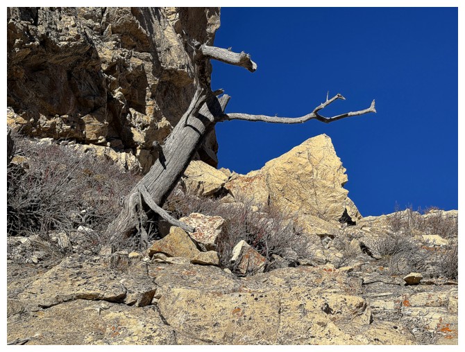
An alive tree and a dead one, both paying their dues to the Southern Alberta wind
This one seems to have faired much better (other than the fact that it's dead!)
Another casualty, but it looks cool with the cloud behind it
This one also looks good silhouetted against the Sunlit rock
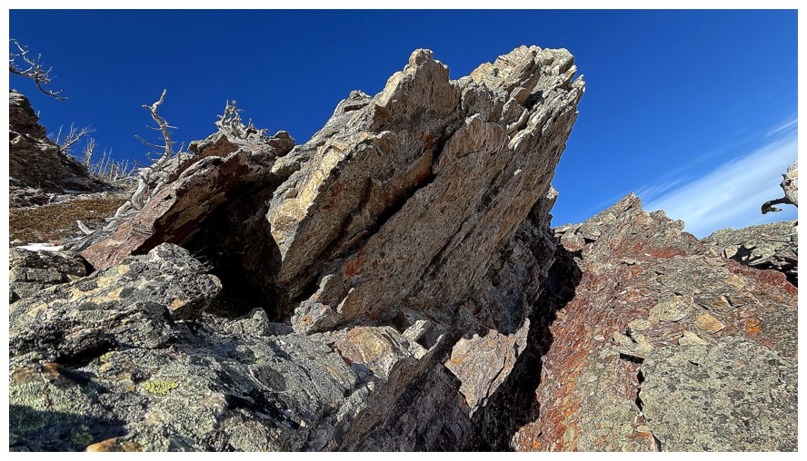
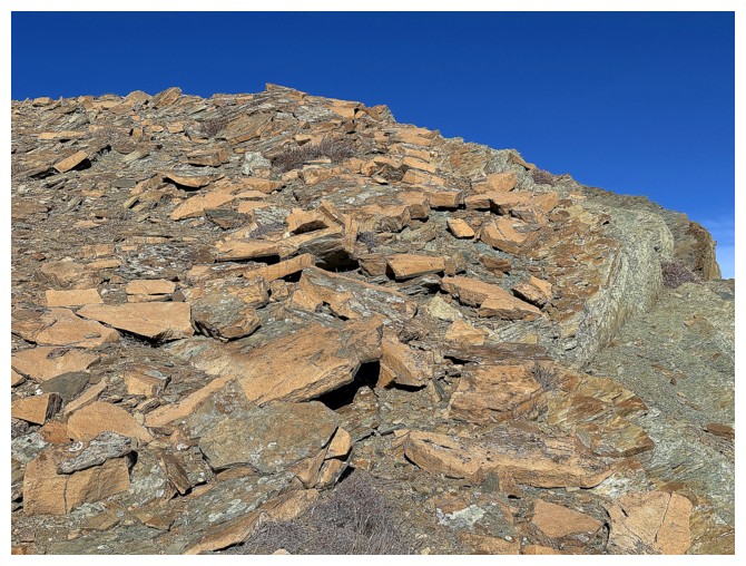
The last round of amazing rock
Leaving the area to finish the trip
The trailhead is not far
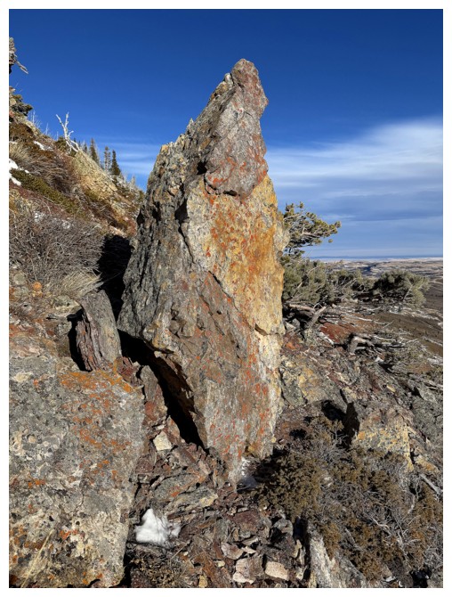
Random boulder and Drywood Mountain.
Minutes away from the end of a mind-blowing trip!
The End
LOG