Heart Mountain VIII
March 19, 2025
Mountain height: 2150 m
Elevation gain: 900 m
Ascent time: 3:50
Descent time: 3:10
Scrambling with
Mark.
A week and a
day after failing to reach the summit of Jewell Peak via Barrier Lake, we set
our sights on the same objective, but this time from Grant MacEwan (Heart
Mountain). And yet again, we were victims of my poor decision-making!
We
packed
harnesses and a rope to rappel the tricky downclimb encountered between
Grant
MacEwan and Jewell, and ice axes and crampons, but left the snowshoes
behind. I thought success was fairly certain and once again I was
wrong.
The first part
of the ascent went well, and we made good progress up Heart Mountain. However, the
wind soon became an issue. Unfortunately, it was a brisk and very cold one. Staying
out of it became the focus of the ascent.
We eventually
reached the summit of Heart and started towards Grant MacEwan. Issue number 2
reared its ugly head right away – our bad decision to not bring snowshoes. The deep
fresh snow offered only miserable postholing and no support. We were
able to battle our way to the summit of Grant MacEwan, where the route to
Jewell Peak deviates from the normal route, but our energy levels were
depleted, and the wind was not about to let up. As well, the route up Jewell looked
fierce, holding way more snow than predicted – Grant MacEwan would be our highpoint
of the day.
We hummed and
hawed about a descent route. Back the way we came would be easiest, but
completing the loop route, more interesting and scenic, dependent on snow
conditions of course. We chose the loop route and lucked out – the snow was manageable throughout; only
an increase in cloud cover was cause for some disappointment.
Despite failing
(again) to reach Jewell Peak, a very good day out and reminder what an
excellent route the Heart Horseshoe Loop is.
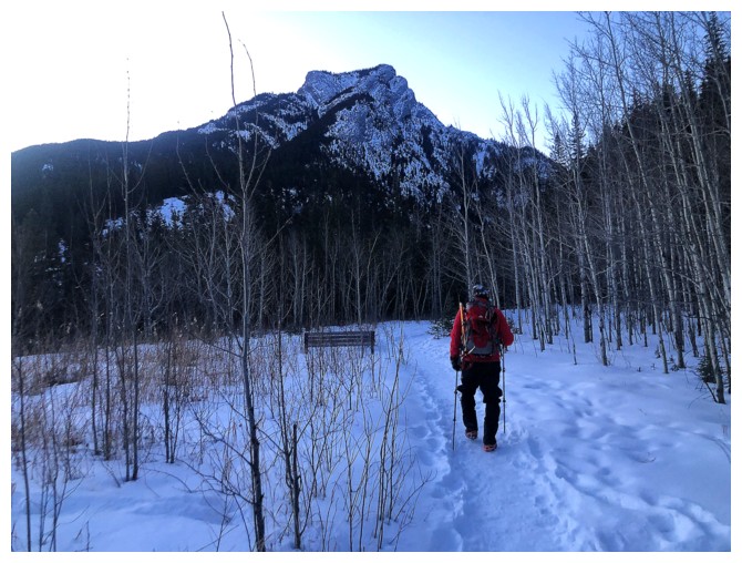
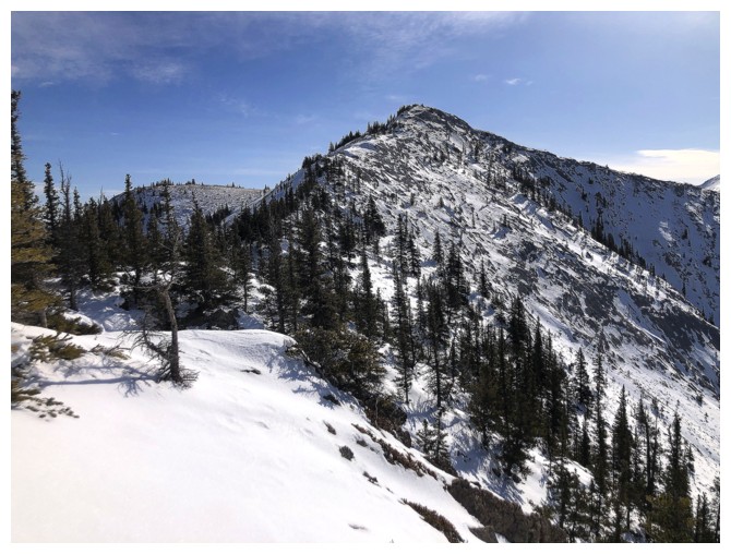
Heart Mountain dead ahead
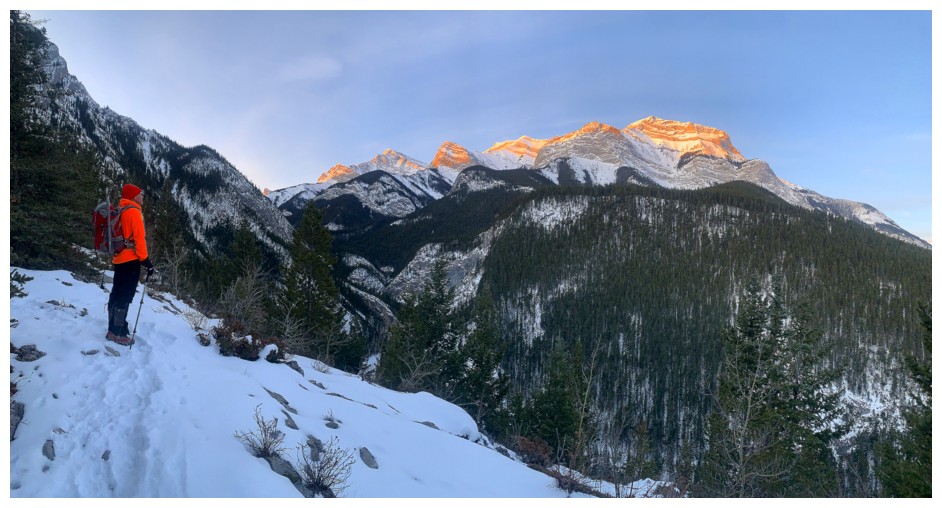
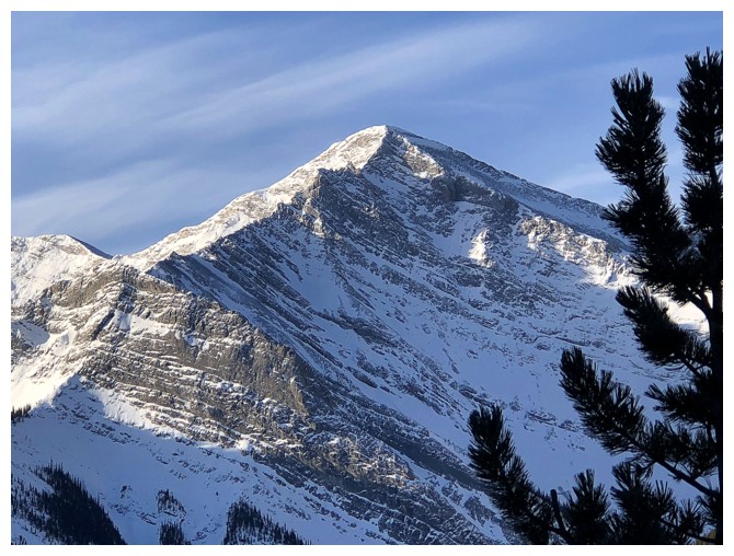
The Sun lights up Mount McGillivray
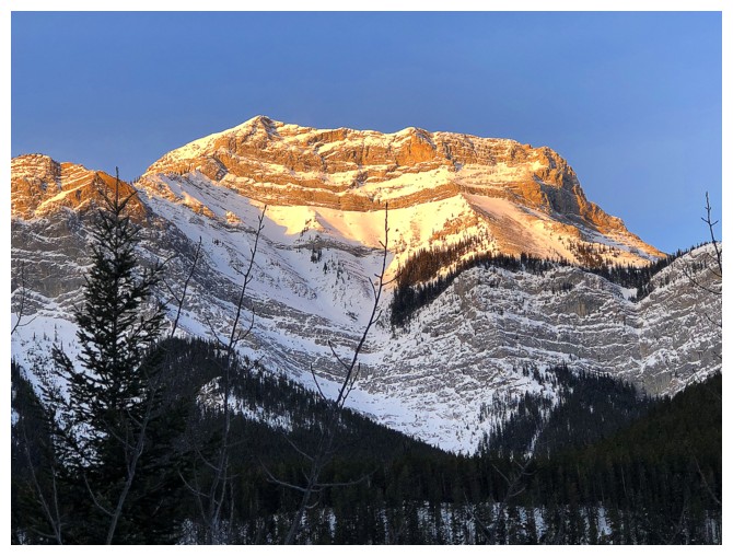
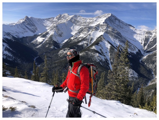
Close-up
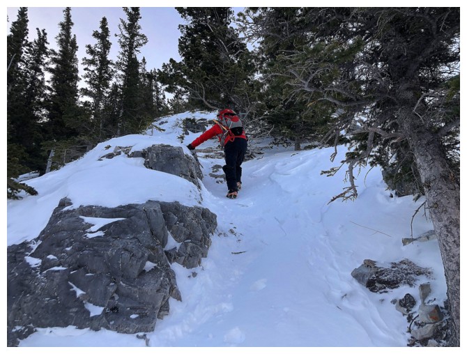
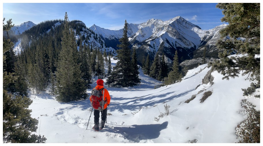
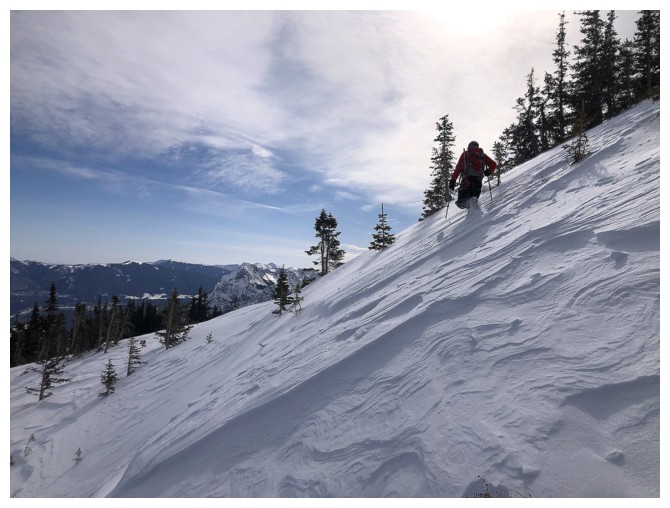
Typical travel on the lower slopes. Microspikes worked very well here.
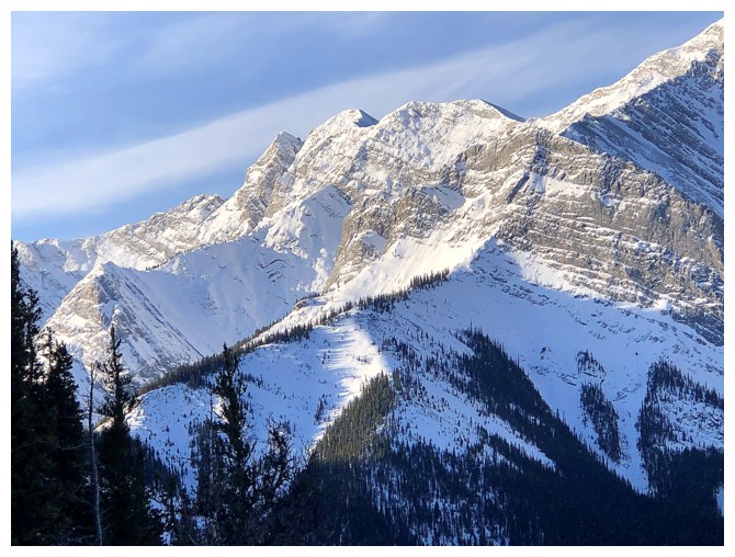
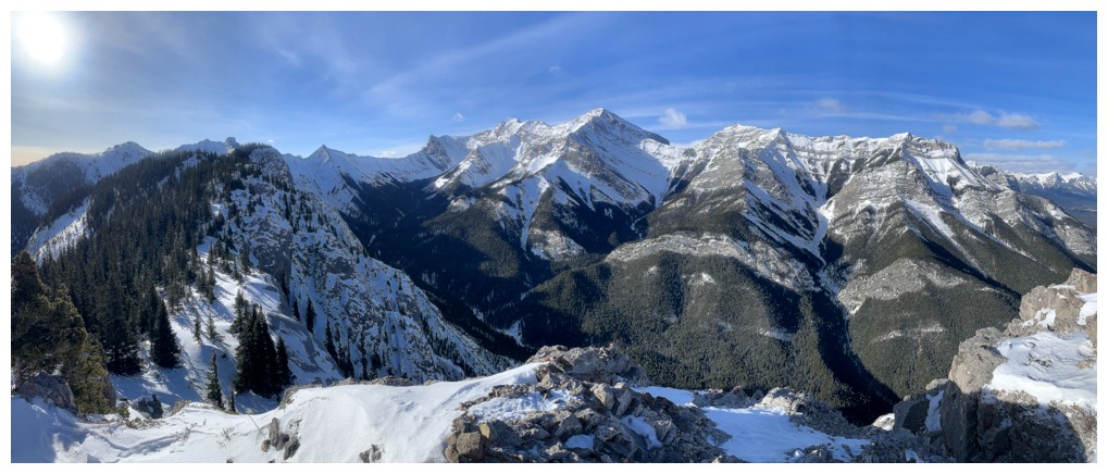
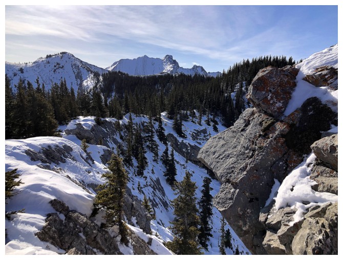
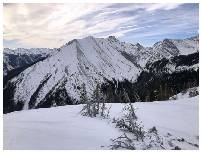
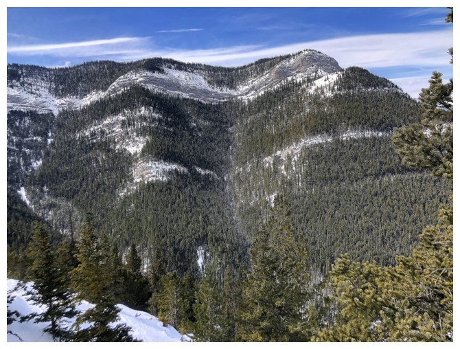
Part of the impressive east side of the Lorette/Skogan/Gilligan/McGillivray massif
Unofficial, but very cool Gilligan Peak (North Skogan Peak)
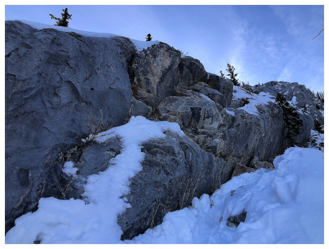
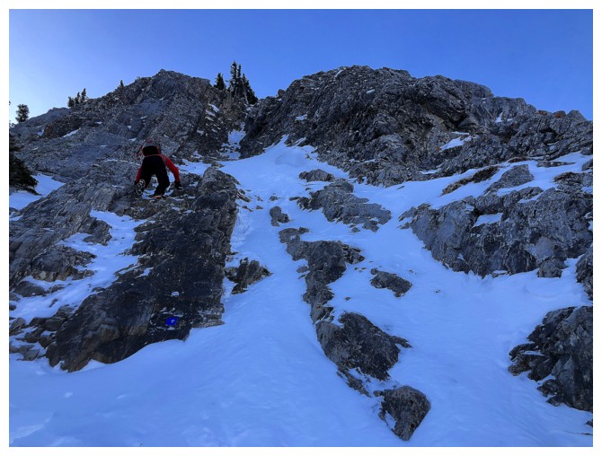
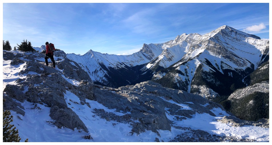
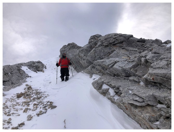
The crux is a little tricky when snowy and the air temperature is brutally cold
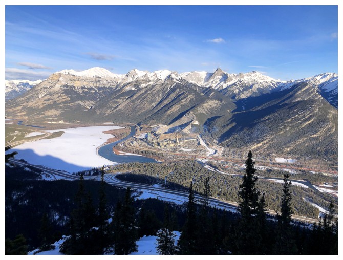
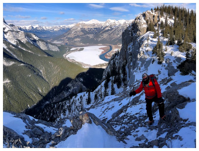
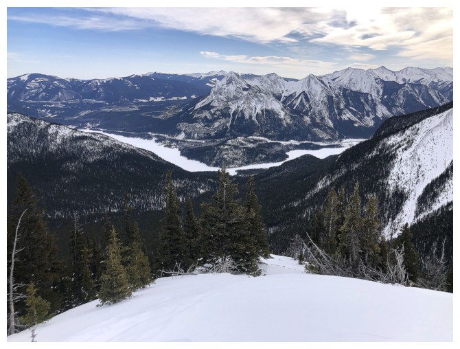
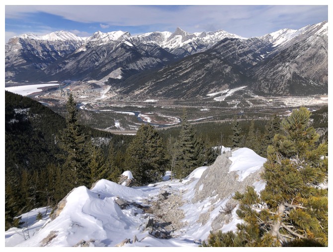
View of the Bow River, mounts Grotto, Grable, Fable and others
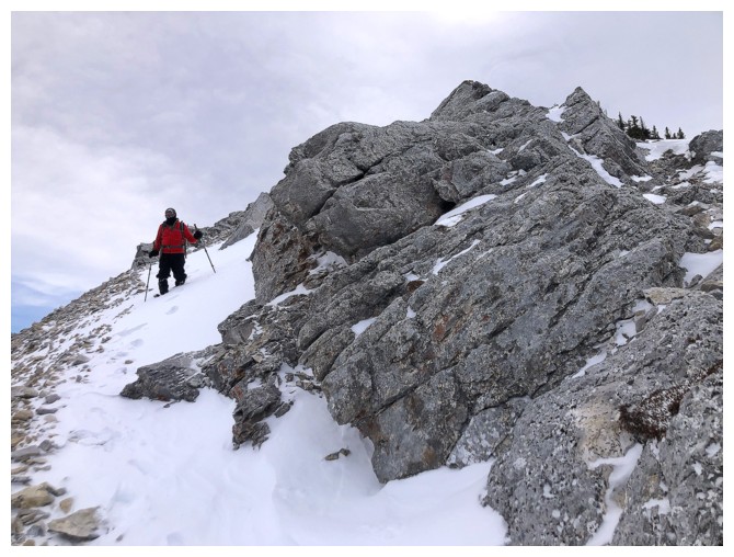
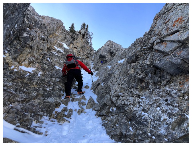
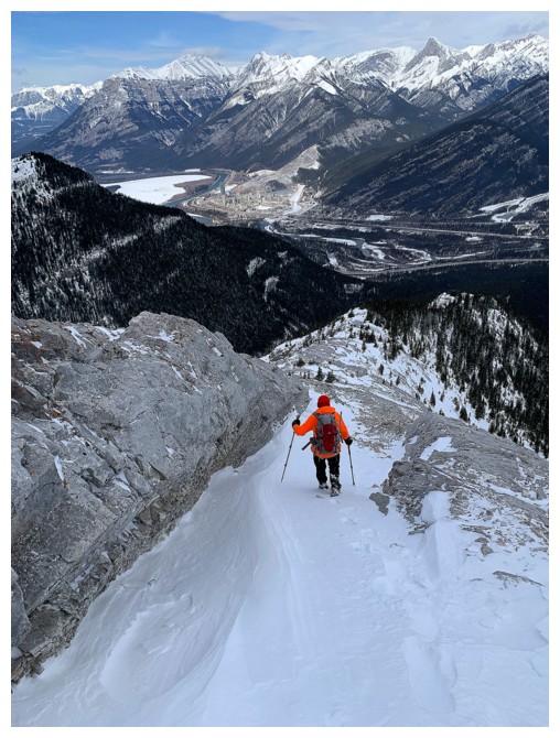
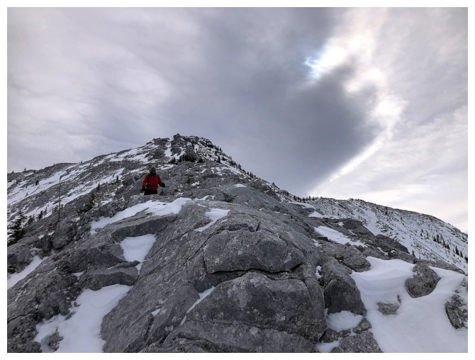
Approaching the other crux
Almost there
There are a couple of exposed steps at the second crux
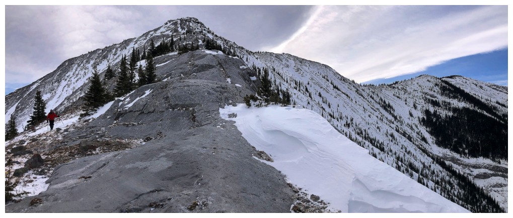
Continuing up
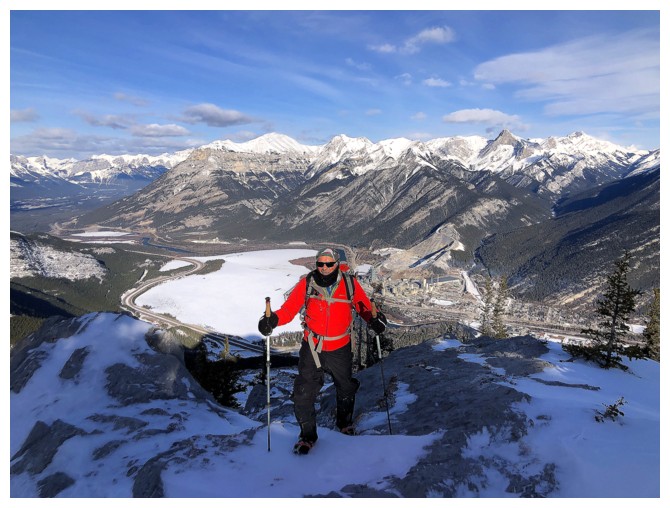
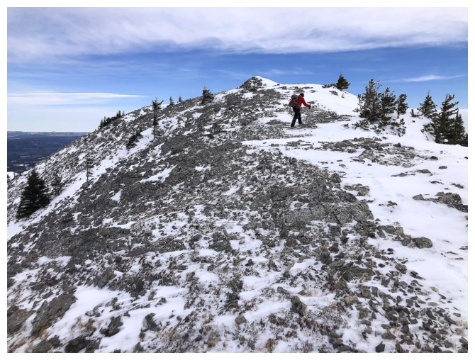
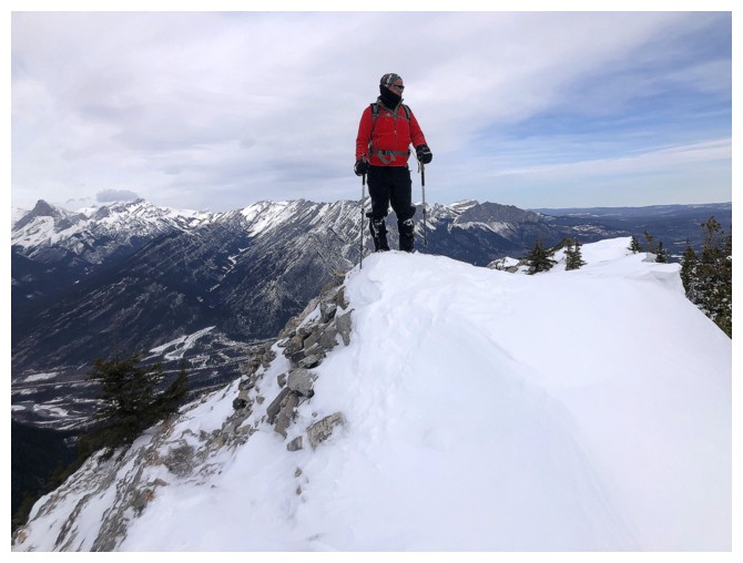
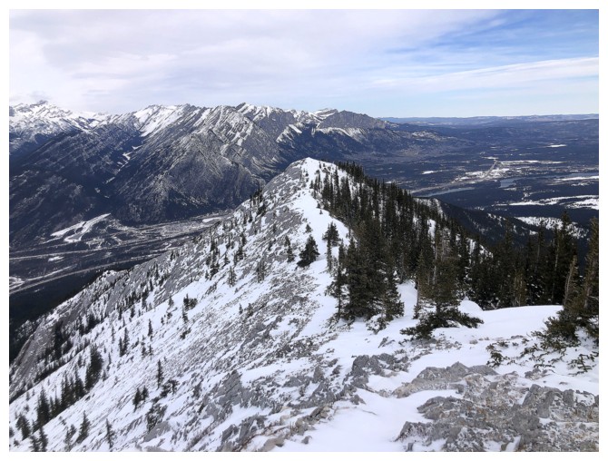
Steps away from the summit of Heart
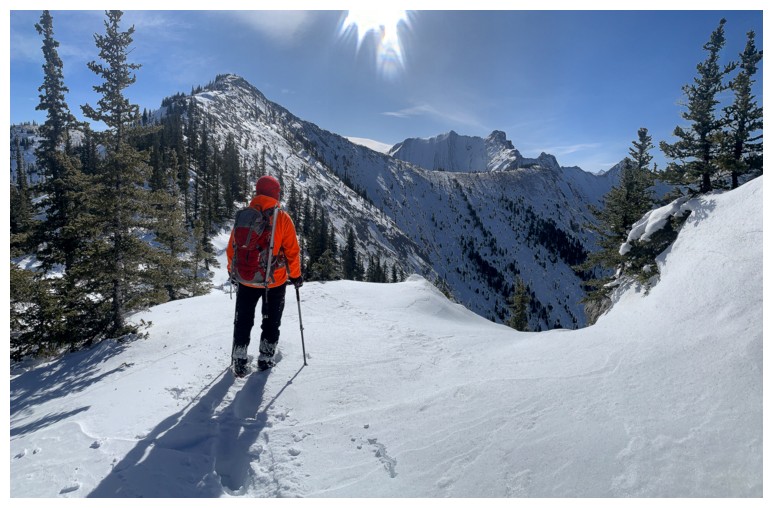
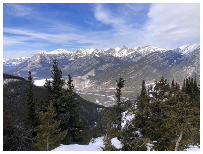
Summit view to the west
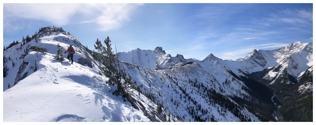
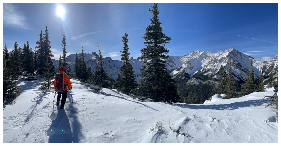
Continuing on towards Grant MacEwan
Heart in the background
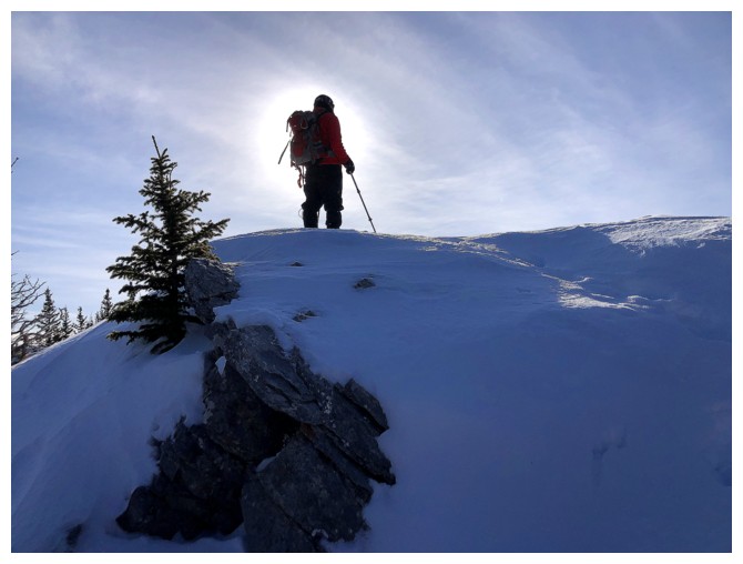
Semi-silhouette shot
The ridge at the left doesn't look too snowy, but the snow was deep and unsupportive
Looking back again. We needed plenty of breaks to catch our breath from the strenuous travel.
Another break
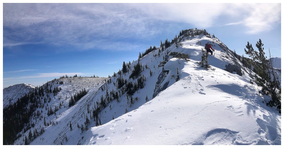
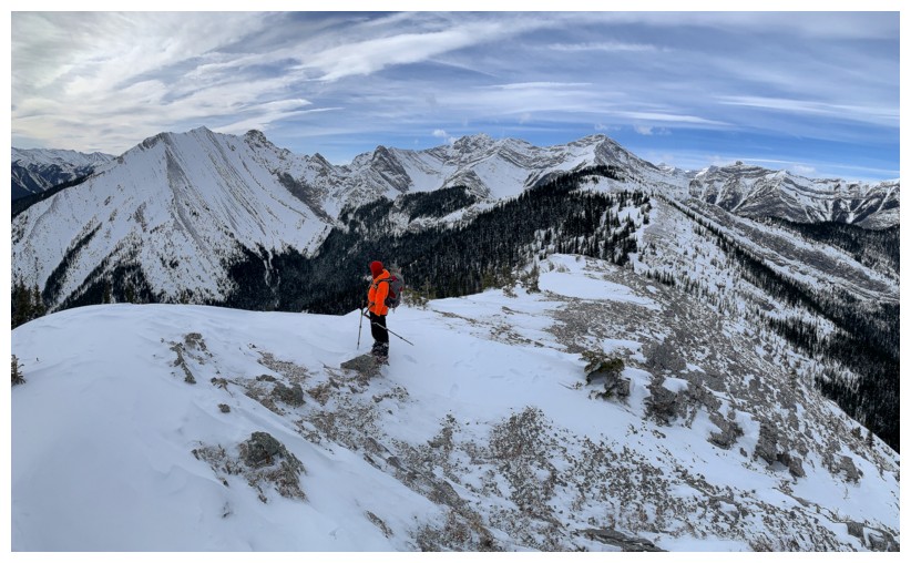
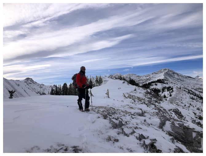
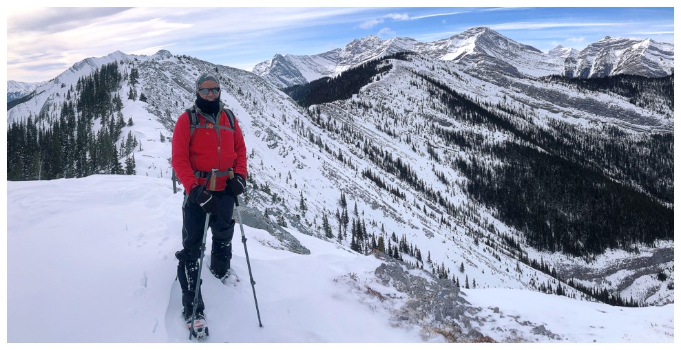
Grant MacEwan is finally within reach
Jewell (right of centre) is already looking too snowy
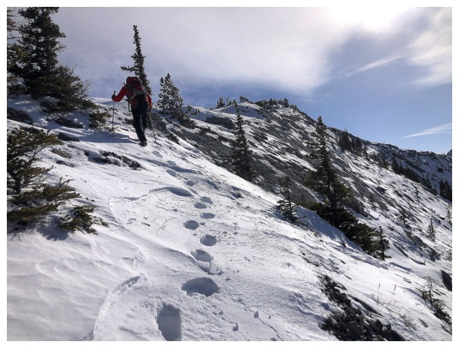
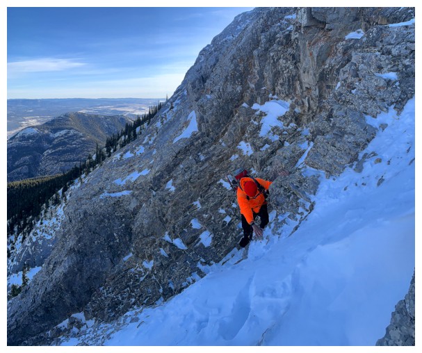
Start of the final push to the summit
Same as above
Same as above, but the other side of the ridge
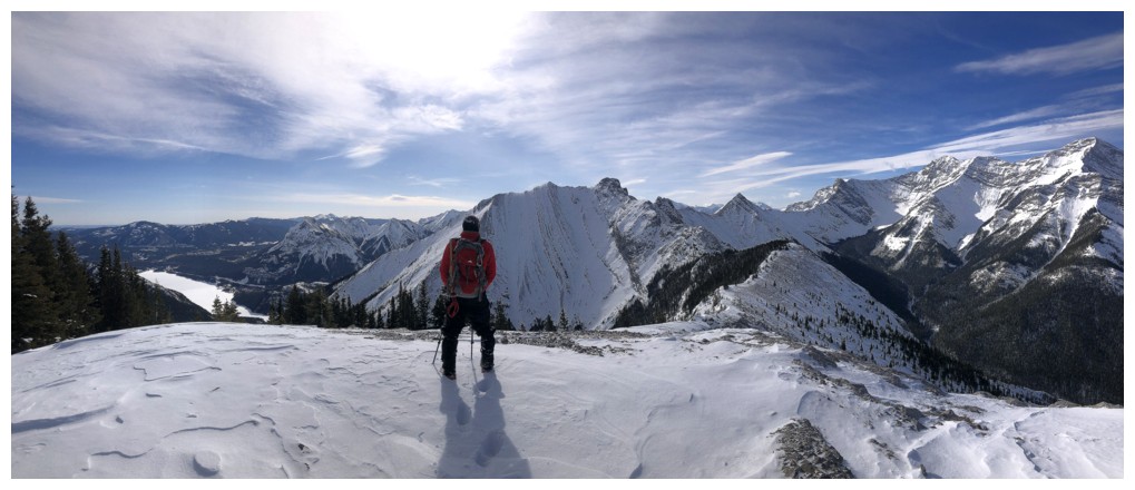
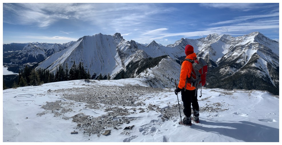
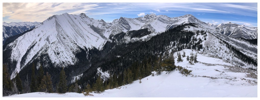
Summit view to the south
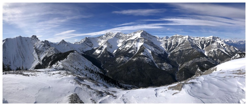
The McGillivray massif again
Jewell is looking way too snowy
The crux of the loop route was getting down this snow slope near the beginning. The rest was easy.
Part of the easy
Had we succeeded on our attempt of Jewell the previous week, we would have come up the ridge just left of centre
Still marginally disappointed at not making Jewell
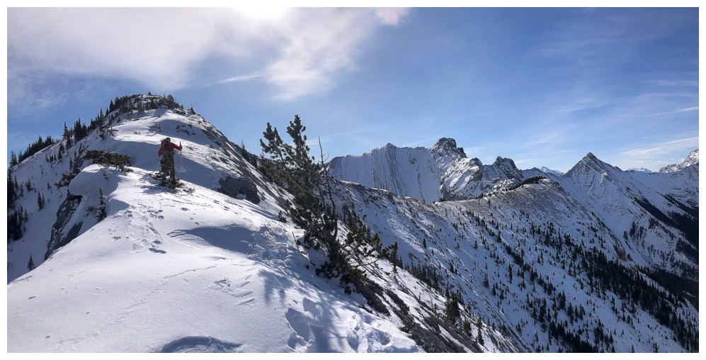
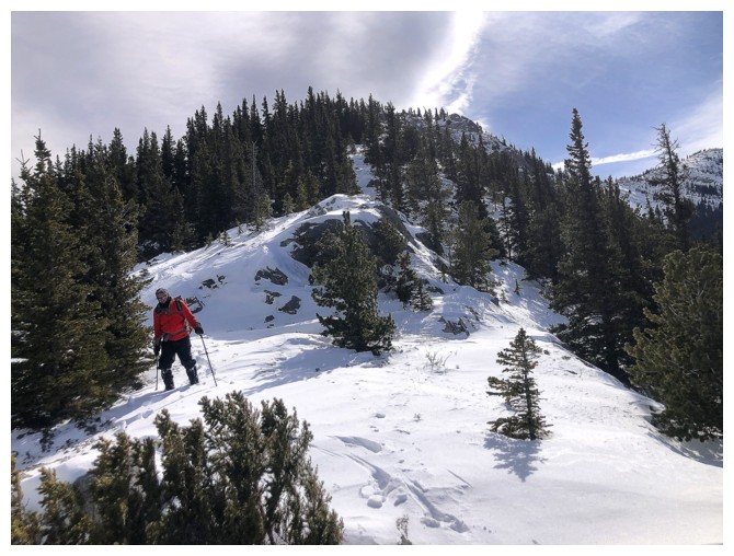
One of the highpoints of the loop
I believe Doug Lutz has traversed from Grant MacEwan to Jewell to Mary
Barclay's Mountain to Lorette to Skogan to McGillivray - that's
incredible!
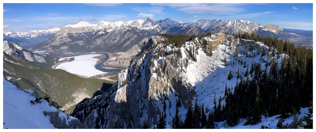
Barrier Lake and the Baldy's
The cloudy conditions were also disappointing, but some of the clouds were kinda' neat
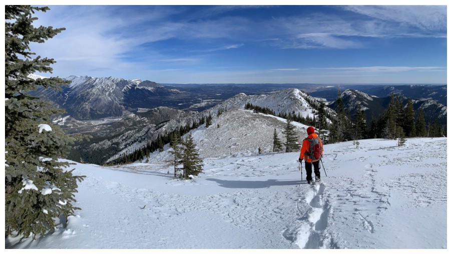
Heading to the last highpoint of the loop
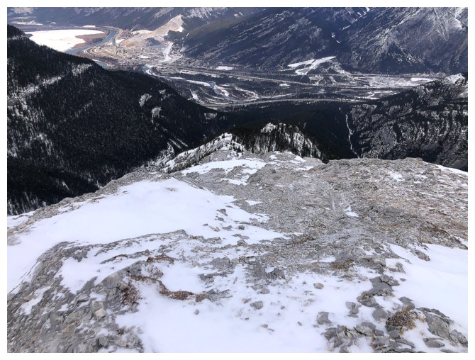
Looking down the descent route
View from the last highpoint
As long as you stay on route, the descent is amazing
One of its cool features
Solid rock that is easy to descend
Same as above
Northwest view
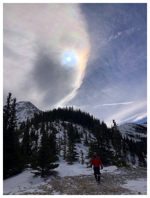
Cool, but persistent cloud - it didn't budge for most of the descent
Looking over to the summit of Heart
Luckily the snow here and for the remainder of the descent was not deep
With some snow-free sections too
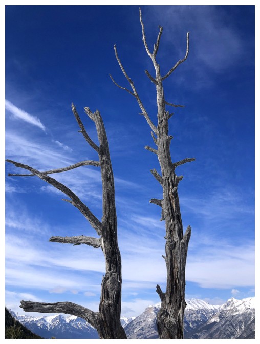
Never too late for some dead tree shots
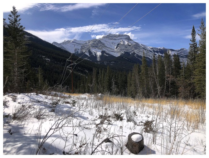
At the base of the loop route, with an easy (though longish) walk back to the trailhead remaining
The End
LOG