Knot
Ridge
April 28, 2026
Ridge height: 2100
m
Elevation gain: 590 m
Ascent time: 3:55
Descent time: 1:55
Solo scramble
and some mountaineering.
An attempt on
Bakery Peak the previous day, renewed my interest in a drainage on the
southeast side of Drywood Mountain. I had ascended the drainage in 2023, on what was one of the surprise trips of that year,
courtesy of a ton of red argillite, a zillion cascades and small waterfalls
(many running down that red rock), and near perfect weather. 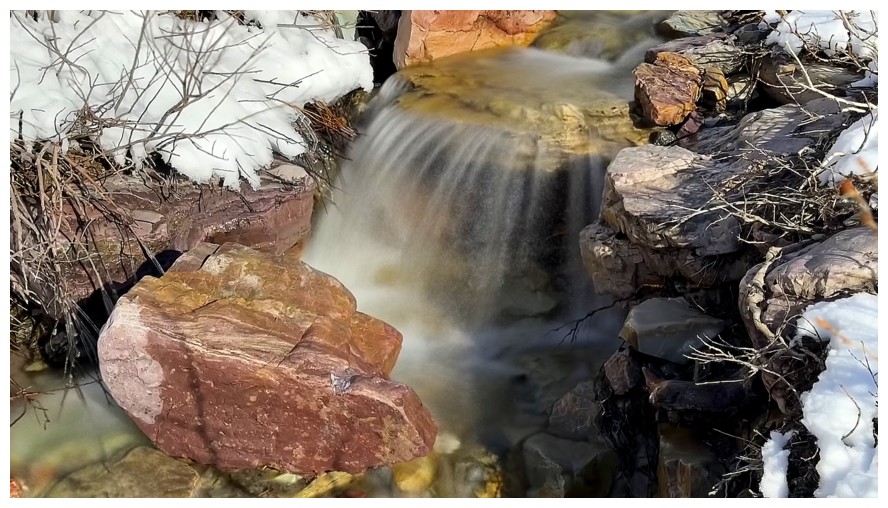 Eventually, I had
veered to the right and up towards Woody, an outlier of Drywood Mountain.
However, the ridge to the left side of the drainage was still unknown territory
for me and that ridge would be the objective for the day.
Eventually, I had
veered to the right and up towards Woody, an outlier of Drywood Mountain.
However, the ridge to the left side of the drainage was still unknown territory
for me and that ridge would be the objective for the day.
After a 2 km
hike up the gas road, I started up the drainage with the intention of gaining
the ridge right away and simply following it as far as possible. The ridge
leads directly to The Knot, however, I had no idea if the route was a scramble
and all the snow would probably prevent me from trying on this day.
The plan did
not go exactly as planned. Gaining the ridge immediately looked easy but
boring. Why not follow the amazing drainage and gain the ridge higher up? And
that’s how the new plan went.
Given the huge
amount of snow covering the entire peak, I expected much of the water scenery
would be hidden under the snow. Fortunately, that was not the case for the
lower part of the drainage and the long exposure photos came out in full force.
With all the fresh snow and under a deep blue sky, the drainage was absolutely
breath-taking.
When the snow
did start to fill the drainage, it was time to set my sights on the ridge. 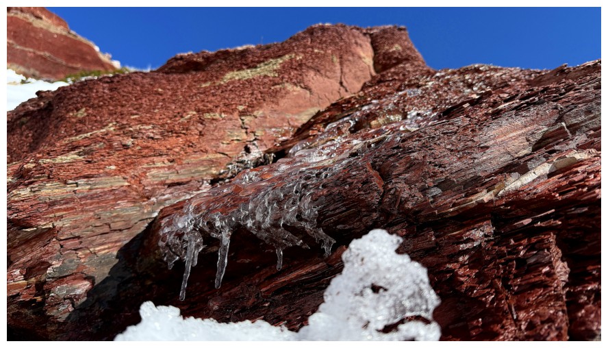 A
short but steep slope snow appeared to be all that separated me from that
objective. It was also definitely time for crampons and an ice axe. Turns out I
was right about “steep” and dead wrong about “short”. The snow slope went on
for much longer than anticipated. Thankfully, the snow was awesome to ascend.
A
short but steep slope snow appeared to be all that separated me from that
objective. It was also definitely time for crampons and an ice axe. Turns out I
was right about “steep” and dead wrong about “short”. The snow slope went on
for much longer than anticipated. Thankfully, the snow was awesome to ascend.
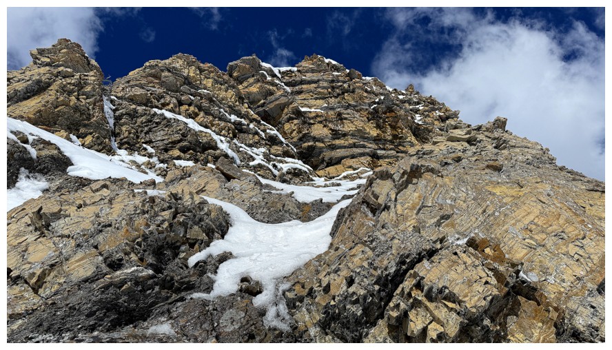
I fortuitously
reached the ridge at exactly the point where it graduates from an easy hike to
a more serious scramble. I ascended a very short distance of the scramble
route, before finding a nice spot to take a break and a few photos. Continuing
up the ridge was a “no-go” in its present condition and even without the snow
and ice I couldn’t see a feasible scramble route all the way up to The Knot.
The reward of
ascending the scenic drainage and then gaining the ridge was a ridiculously
easy (and more than welcome) descent via the ridge. Of course, I inadvertently
made it a little harder by taking a detour near the end in search of
interesting rock. The detour yielded minimal results and forced me to have to
bushwhack through a mess of tightly-knit, stunted trees to find the main trail. Lesson
learned…but probably not!
No significant
summit, but an outstanding day of fantastic scenery.
Raptor Peak and The Eaglet were almost completely snow-free 7 days earlier
Same for Mount Roche
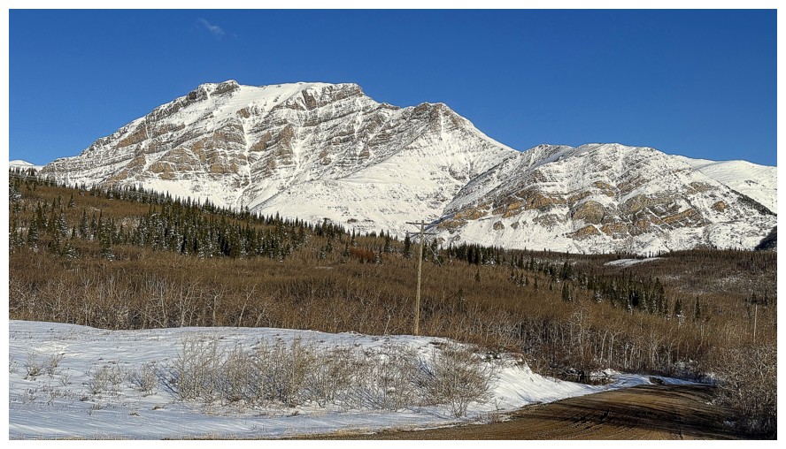
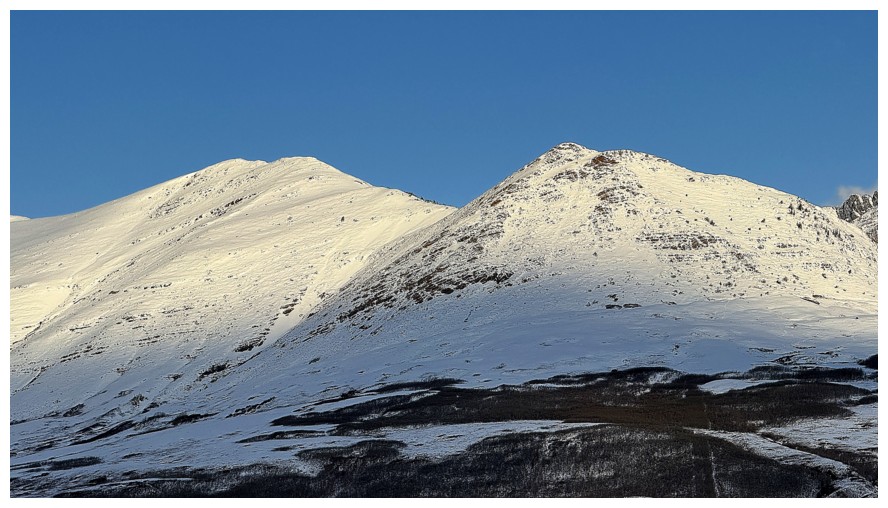
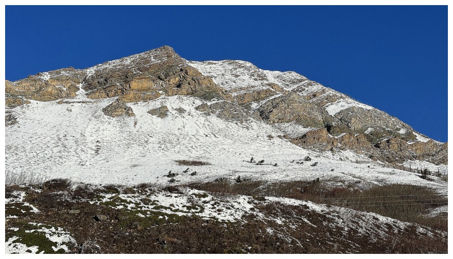
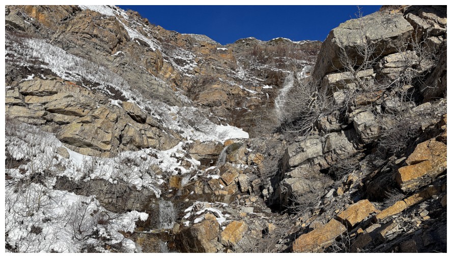
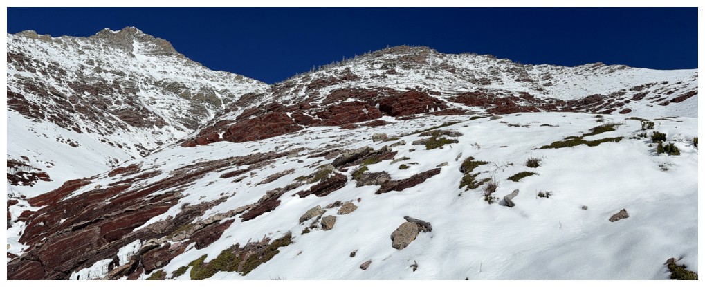
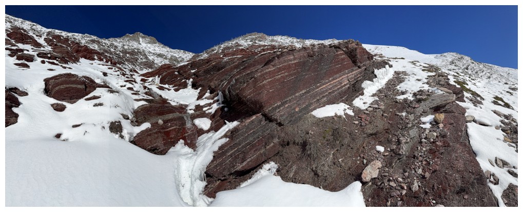
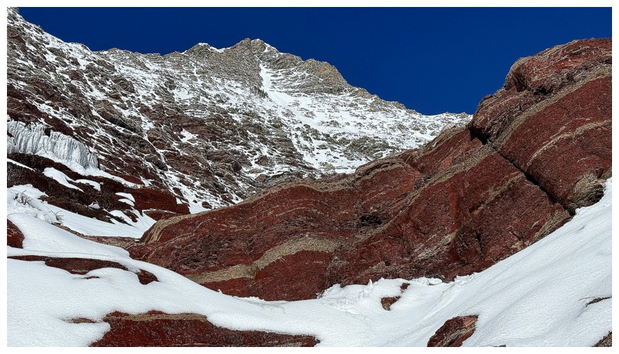
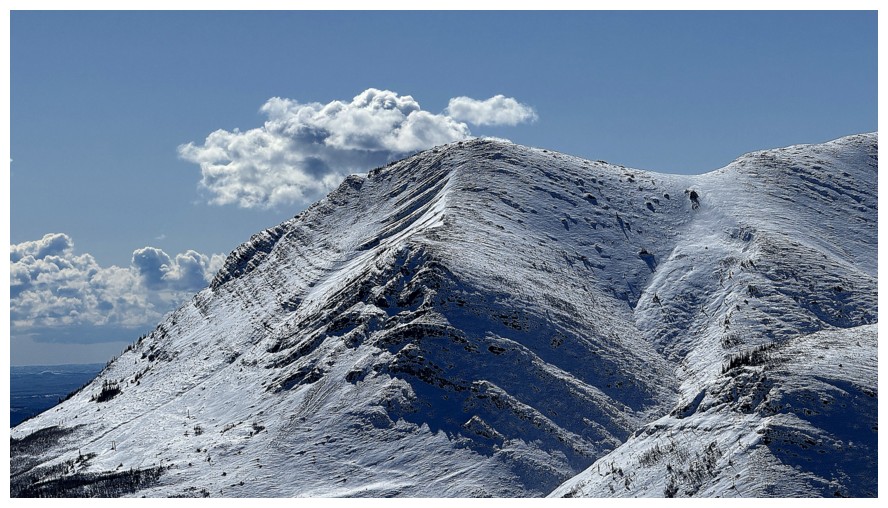
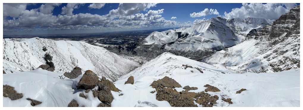
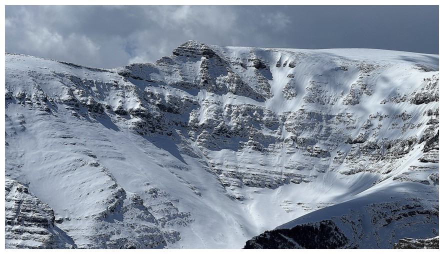
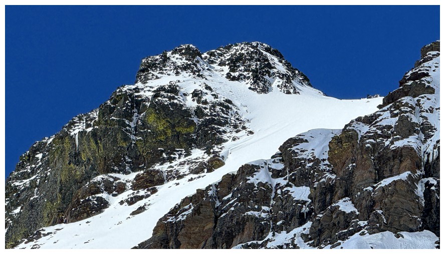
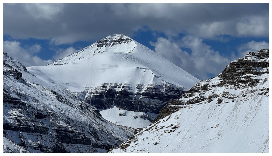
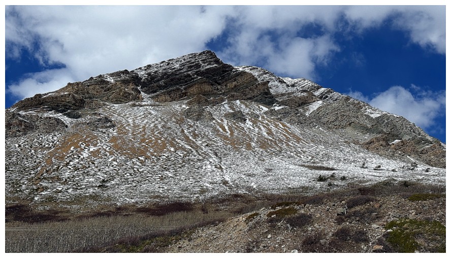
Drywood Mountain, The Knot, and Woody
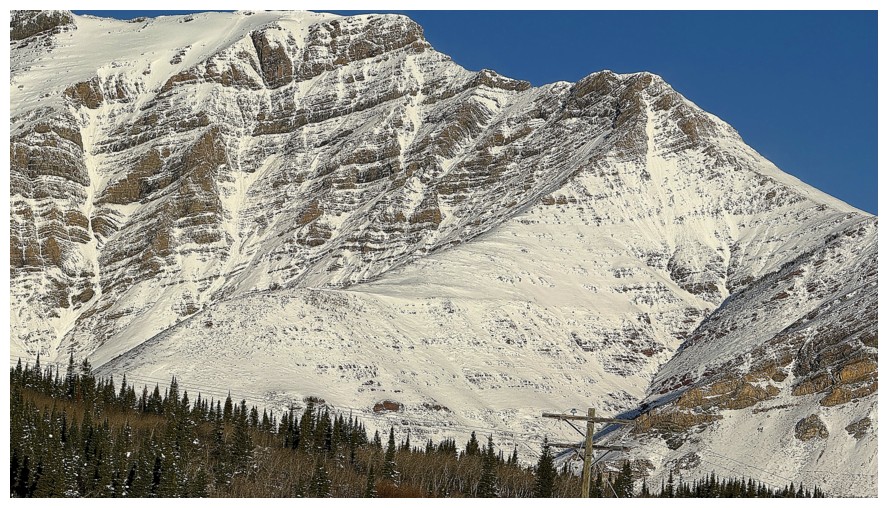
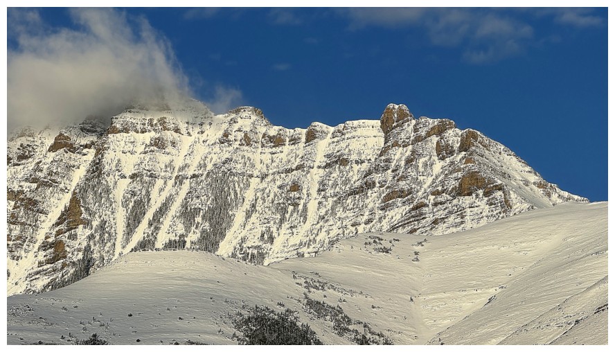
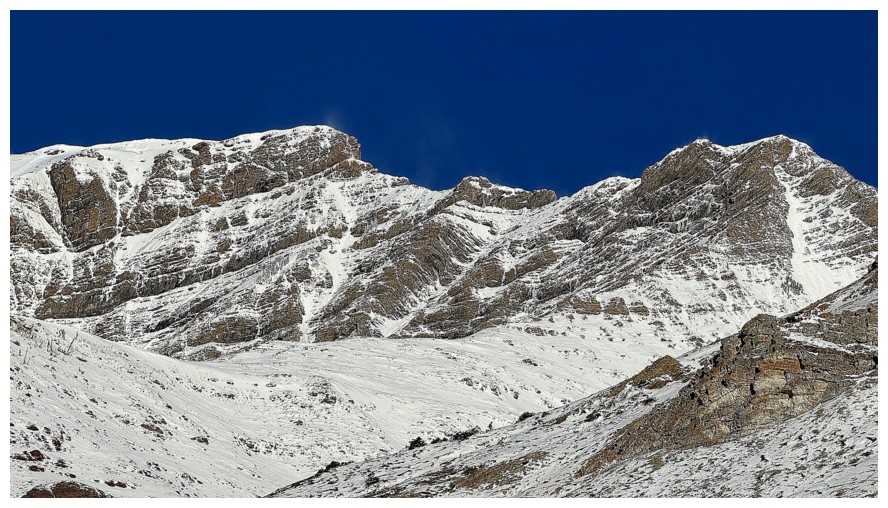
The Knot (right of centre) and Knot Ridge, running up to The Knot from left to right
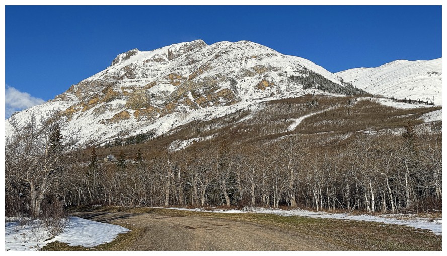
Bakery Peak. Tried it with Dave 24 hours earlier.
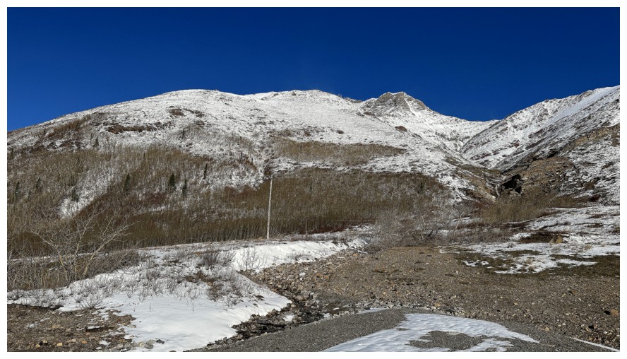
Hiking the road towards Woody and wishing I had brought my bike
Even after multiple trips up Woody there are still several unexplored lines I would like to try
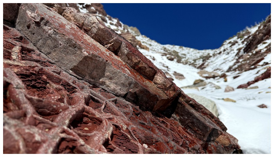
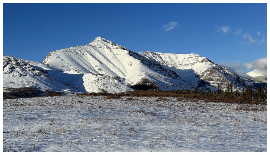
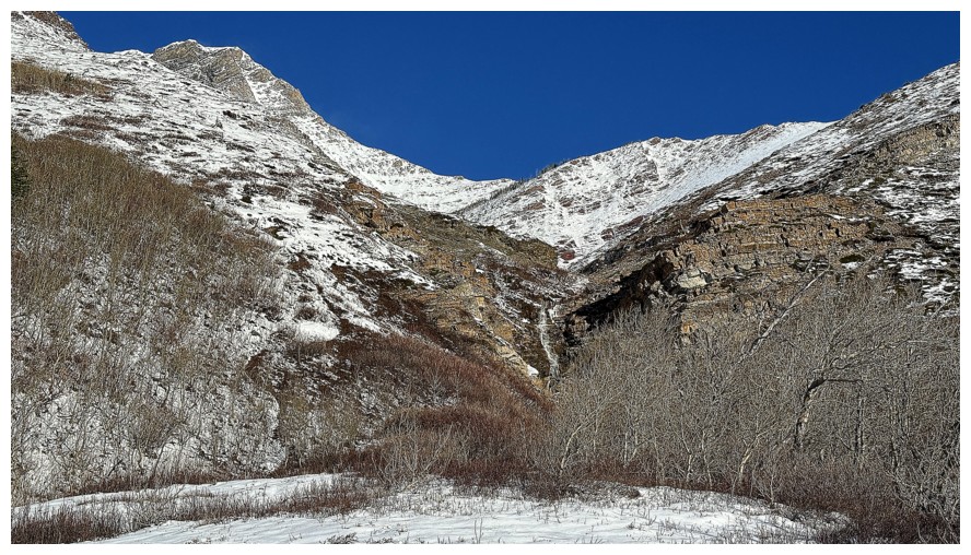
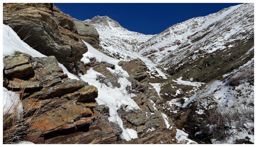
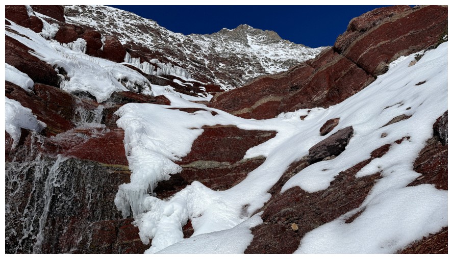
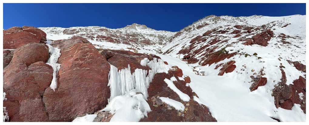
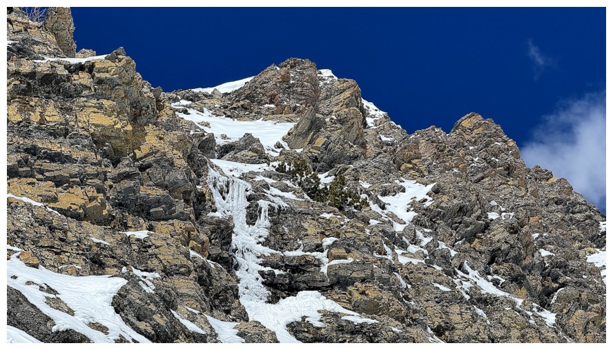
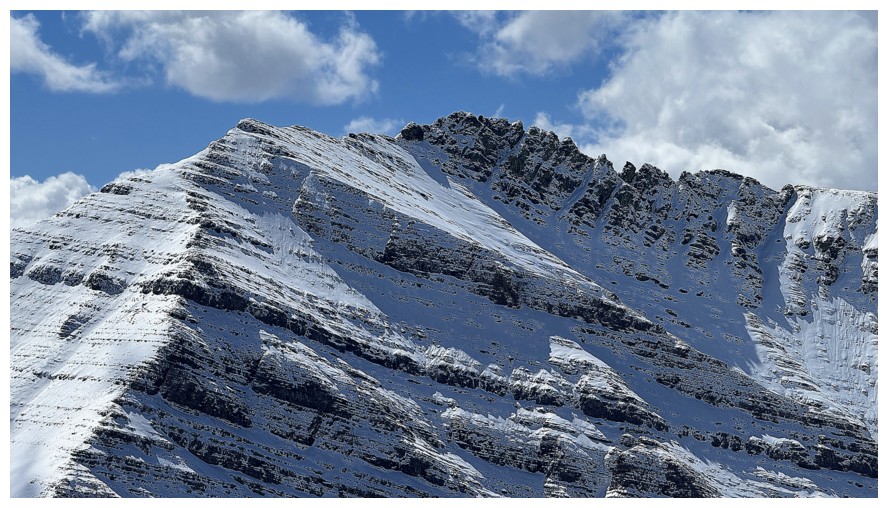
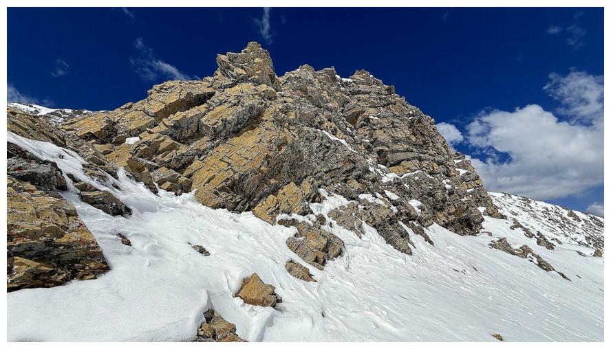
Close-up of the east ridge of Drywood and The Knot
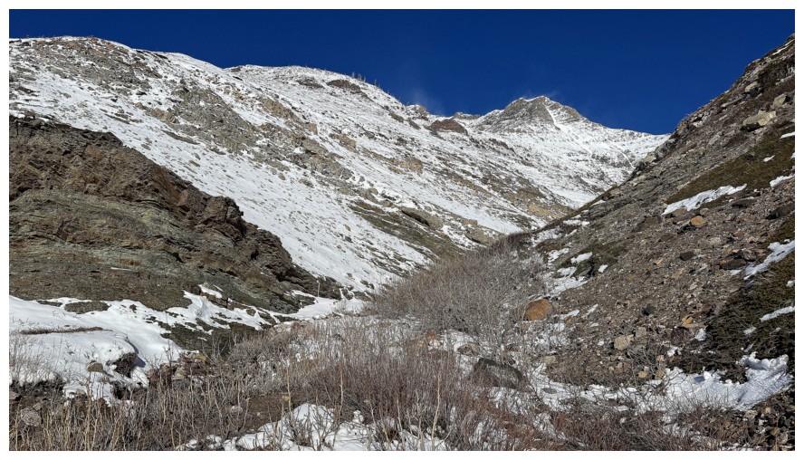
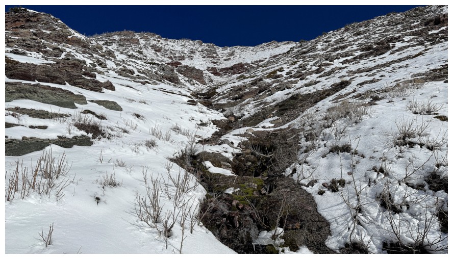
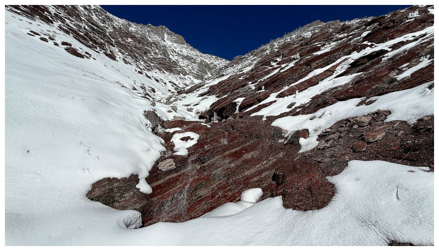
At the start of the route. I initially planned to gain Knot Ridge at the
far left and then follow it towards The Knot (just right of centre) but
ended up following the creek, like my first trip in the area
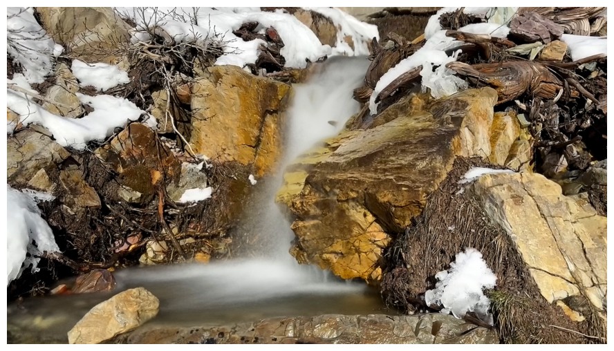
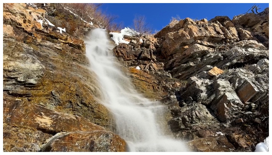
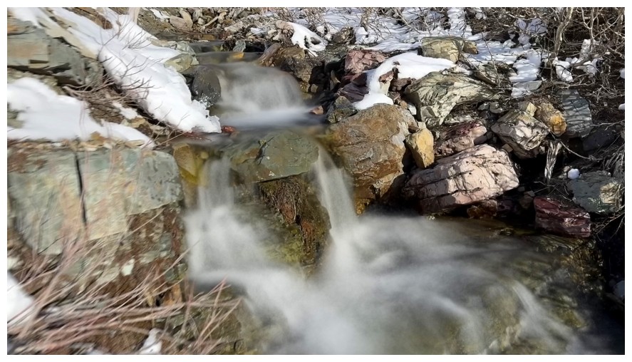
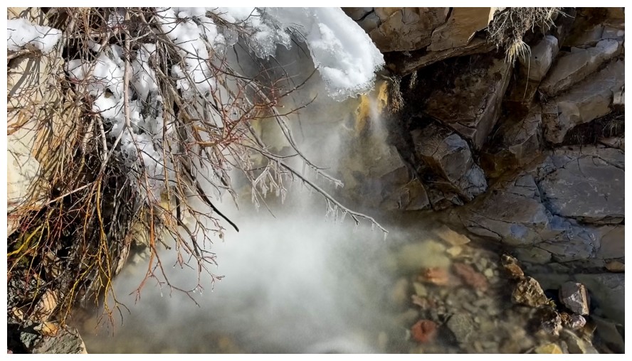
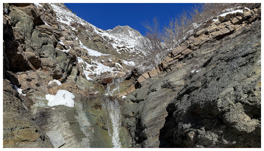
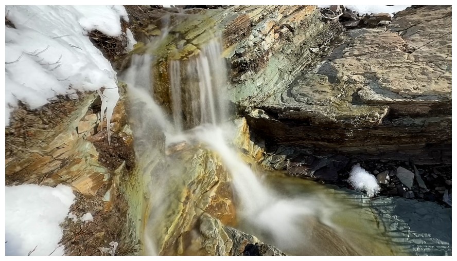
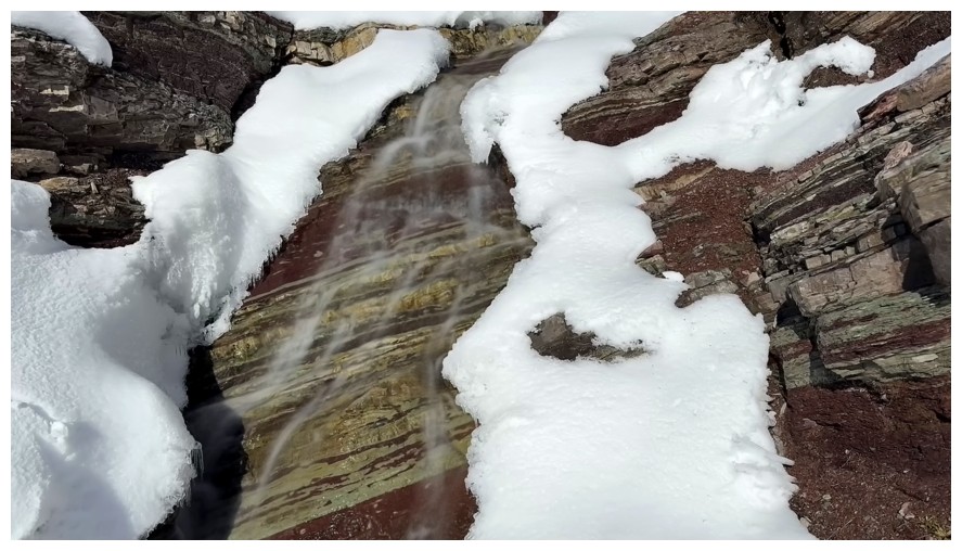
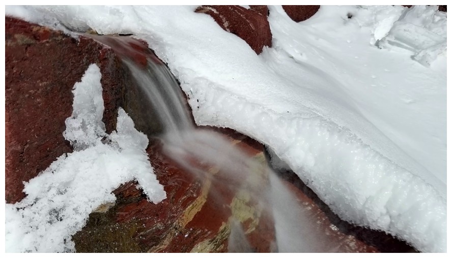
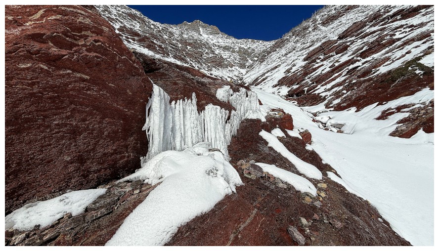
The first waterfall provided more than enough motivation to change the route
Closing in on the first waterfall
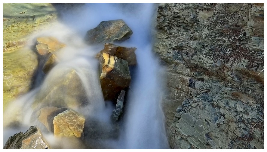
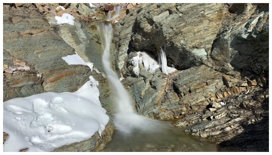
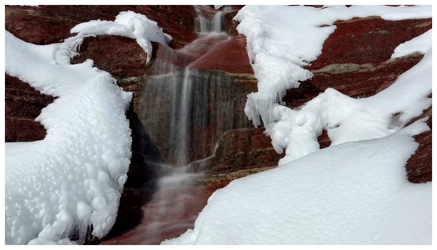
...and the first of umpteen long exposure photos
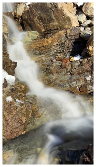
And some regular exposure ones
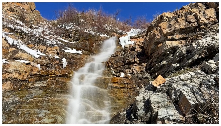
Looking down the first one
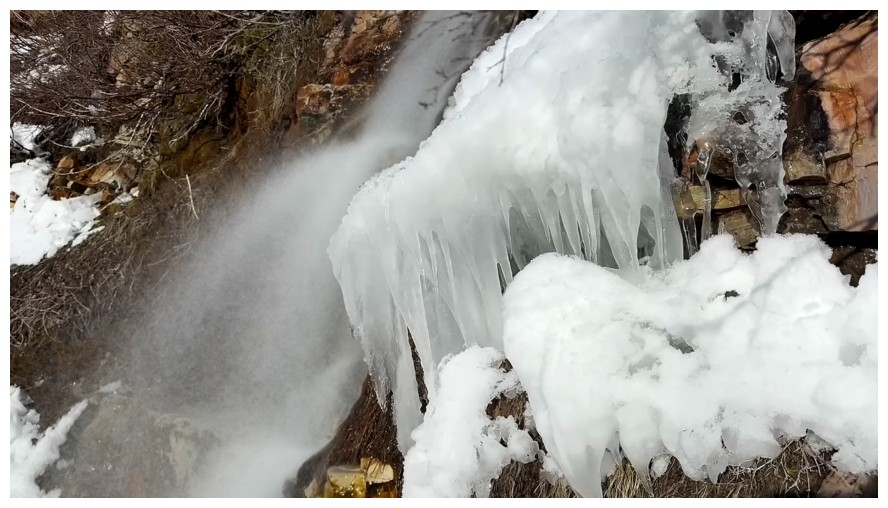
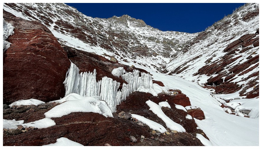
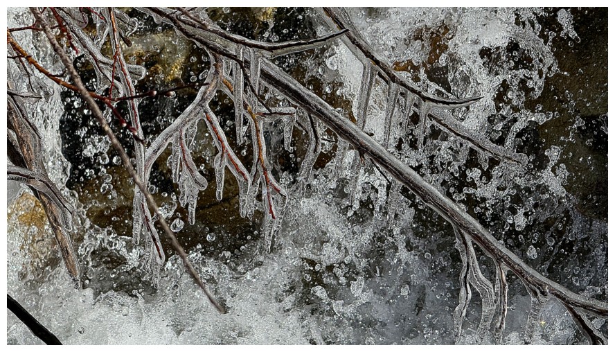
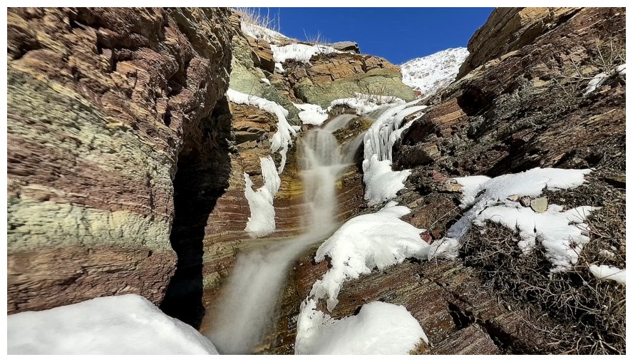
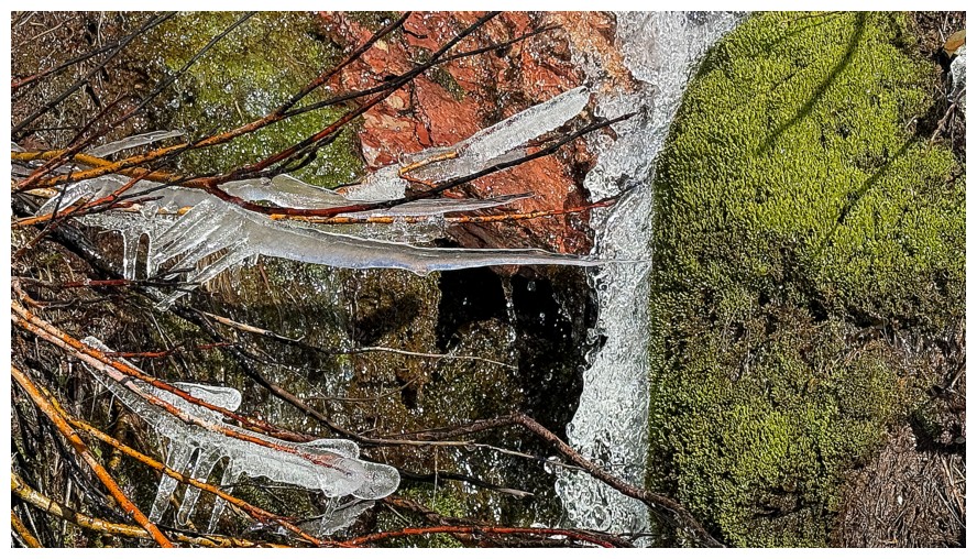
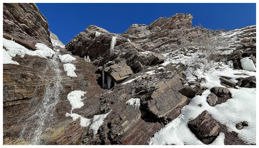
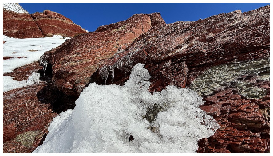
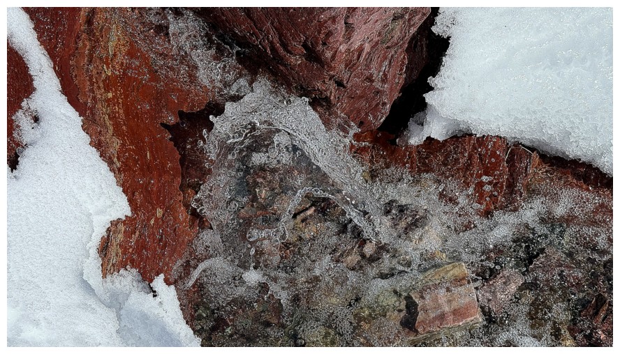
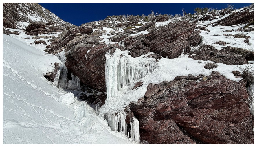
Ice scenery is always welcome
Above the first waterfall
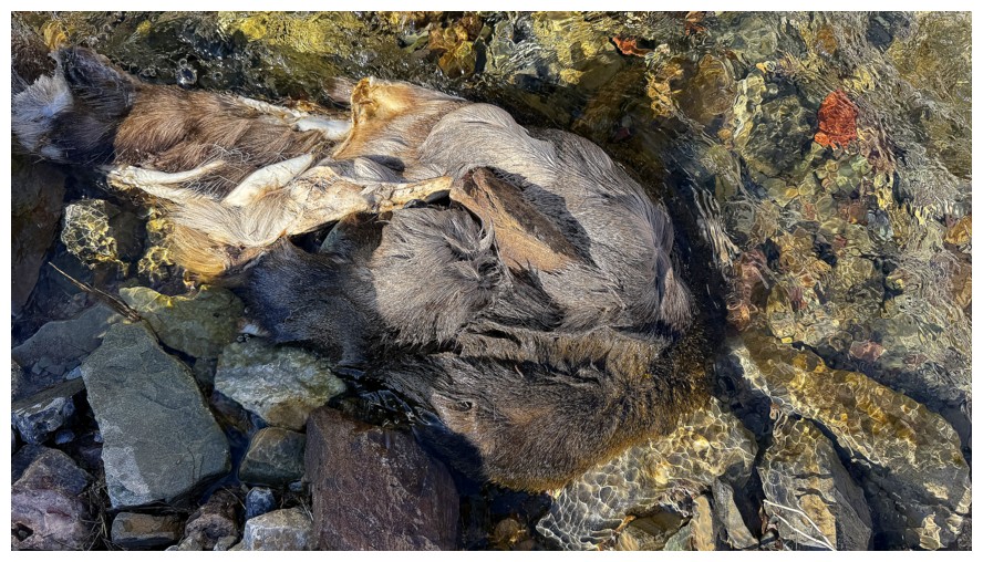
Someone left their coat in the creek. Glad I didn't refill my water
supply downstream of this. Cannot say the same for a trip up Anderson
Peak a few years earlier.
The Muffin (left) and The Croissant
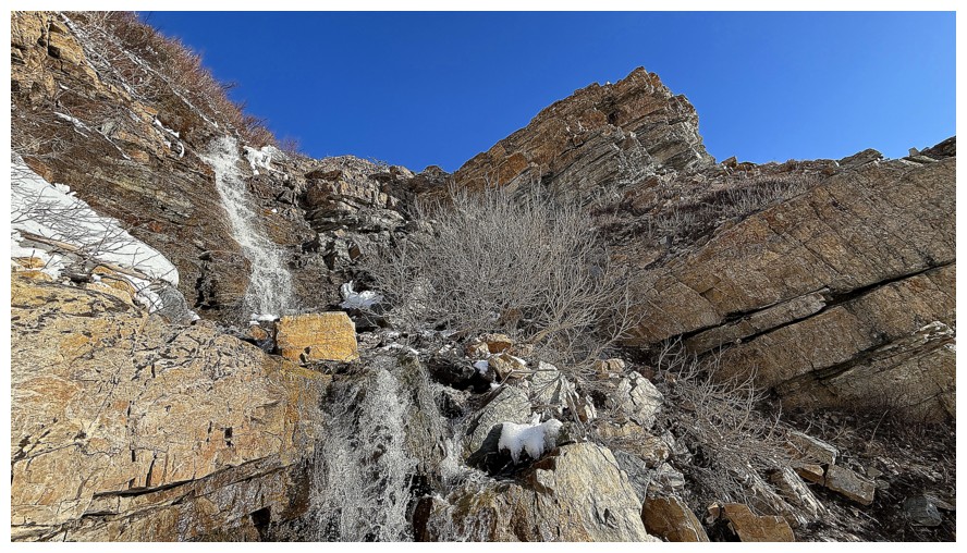
The route ahead
And back to long exposure
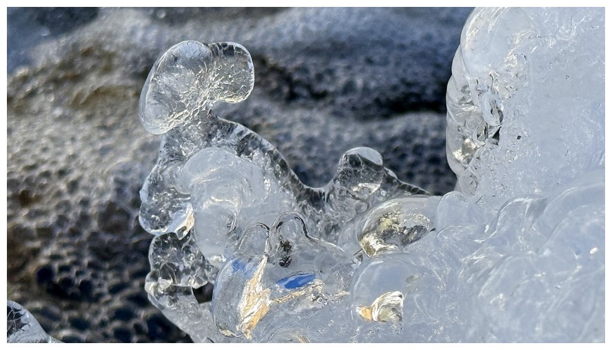
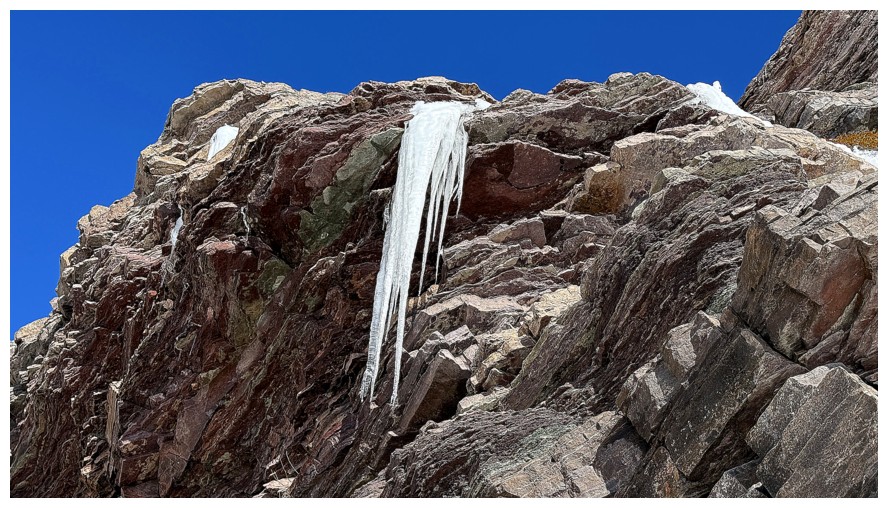
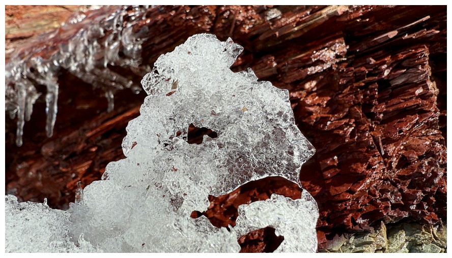
Close-up of an interesting ice formation. The refracting blue light caught my eye.
Even closer
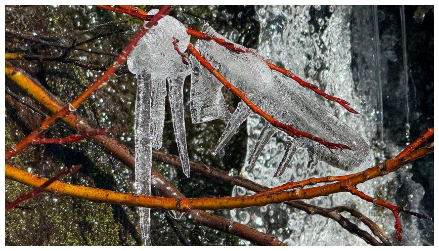
Next up...icicles on twigs
Regular exposure
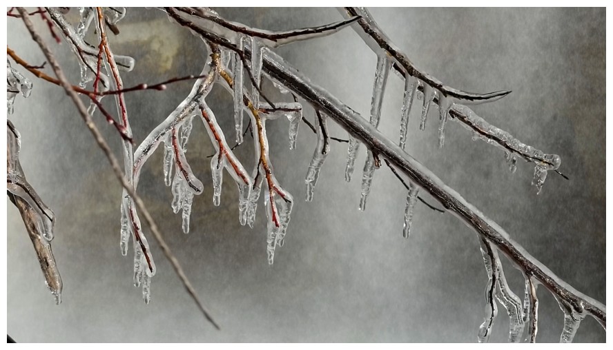
The same photo with long exposure. Less detail, but the main subject is much easier to see.
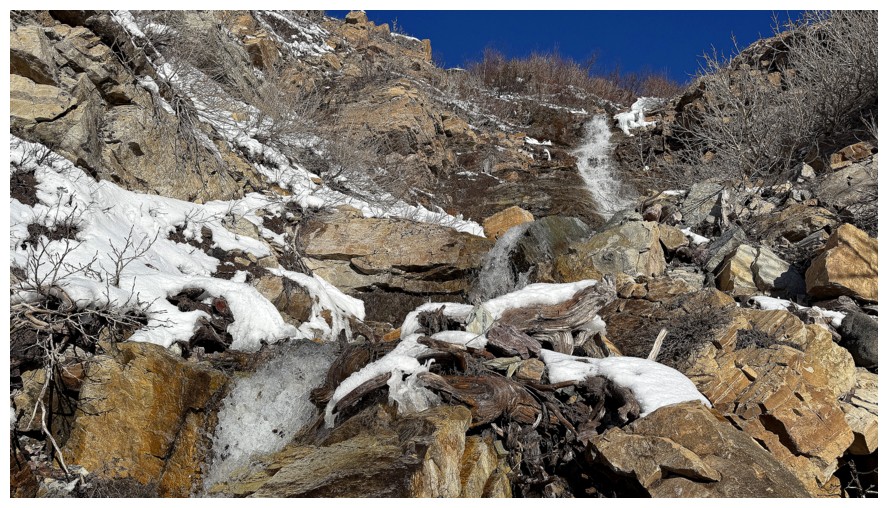
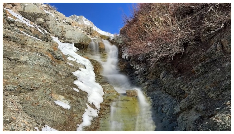
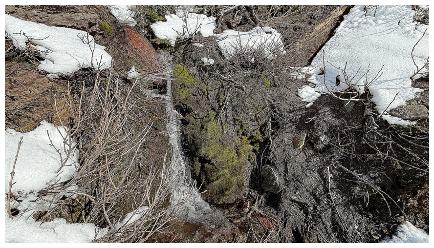
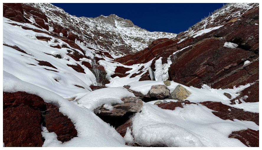
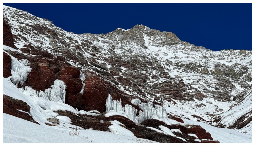
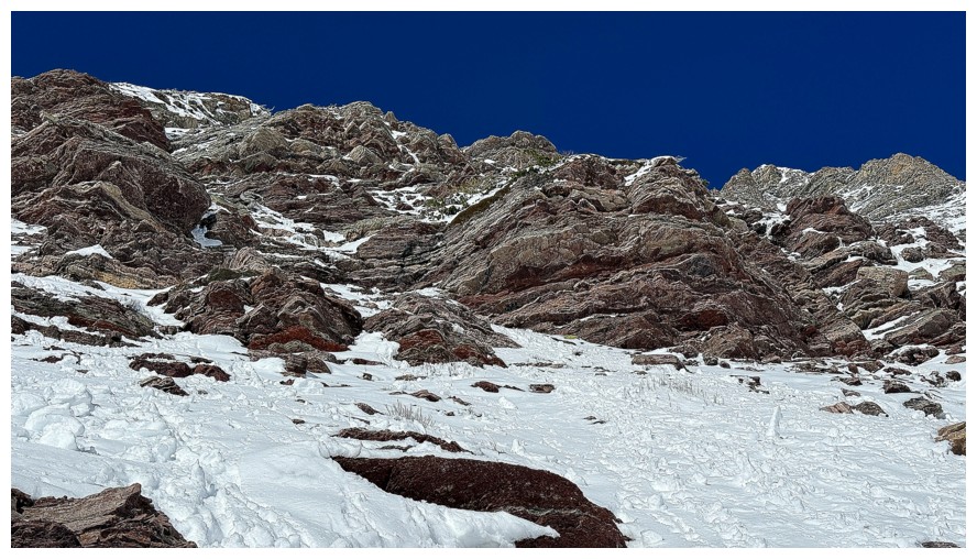
Snow starts to show up in the drainage
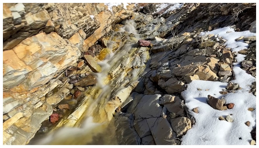
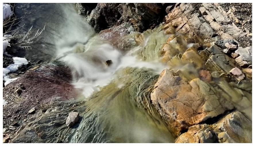
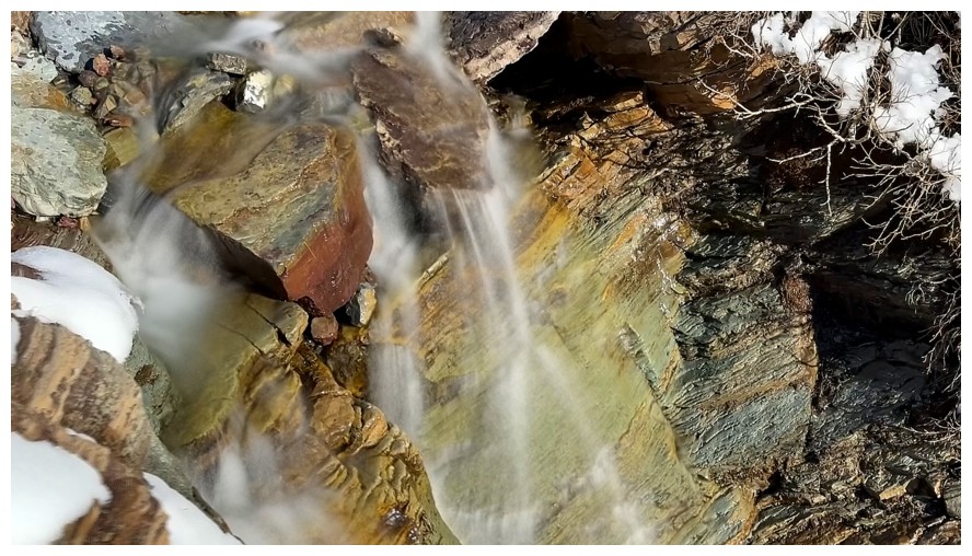
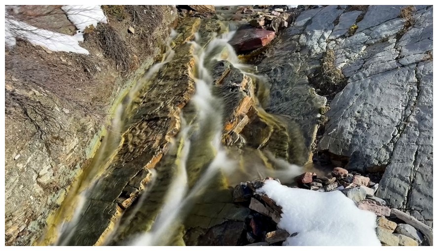
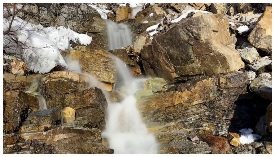
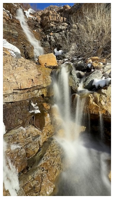
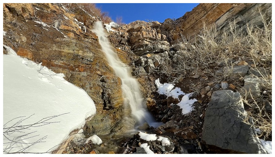
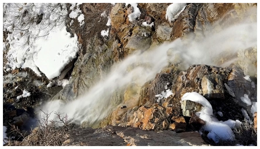
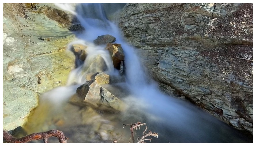
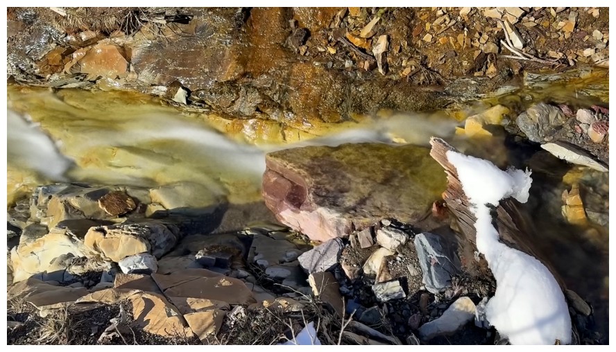
One of the nicest cascades of the day
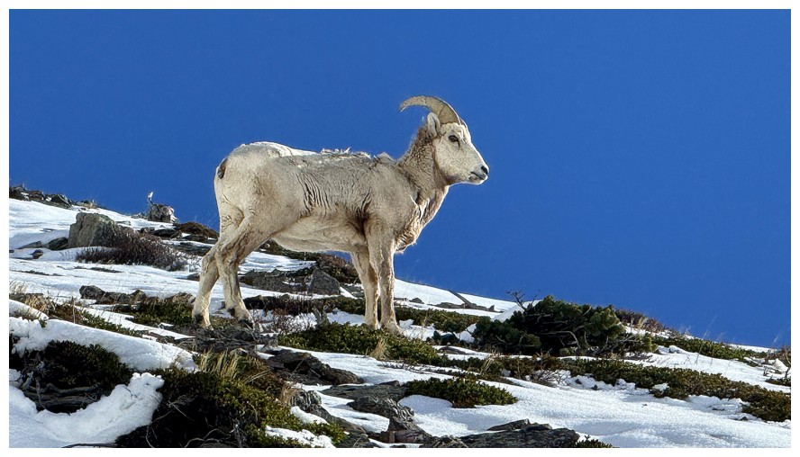
The nicest ram of the day. He posed like a statue for me!
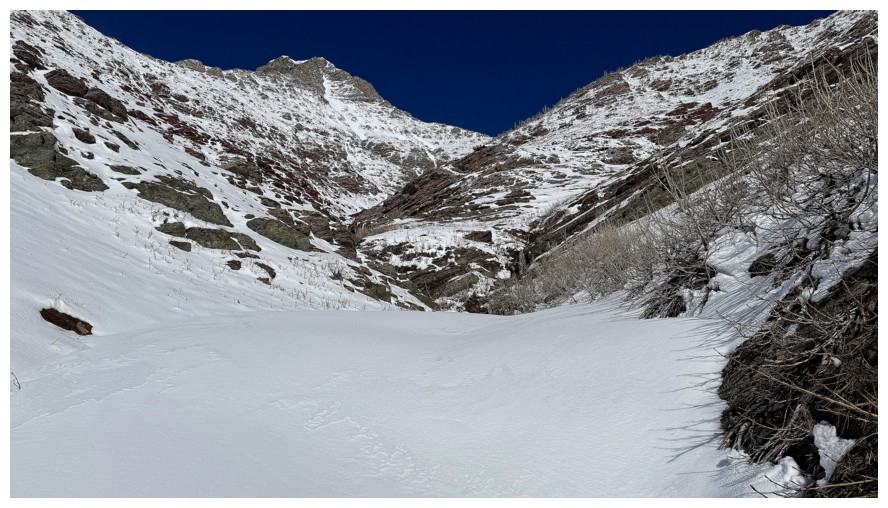
A section where the snow takes over the creek
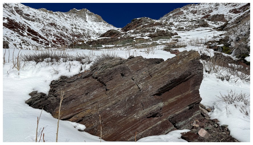
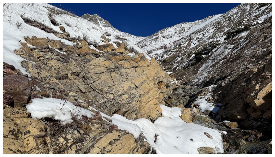
A good sign that it's almost red argillite time
This little cascade was the next point of photographic interest
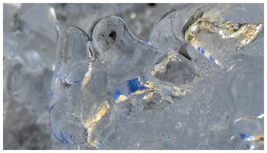
Again, there was some cool, blue refracted light
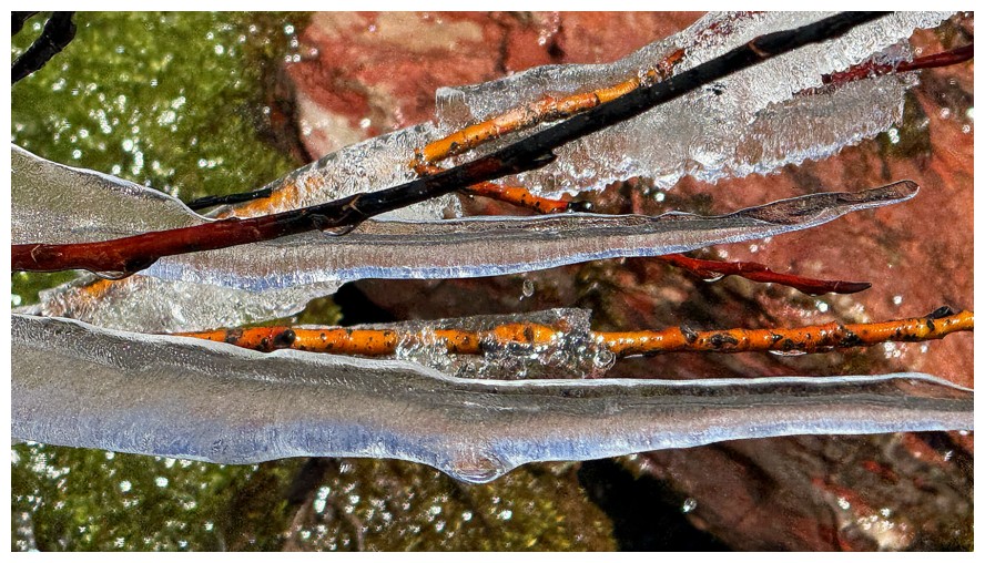
Close-up of the blue
I did consider ascending this drainage, however, it would have taken me, in short order, to previously explored terrain
Stuck to the main drainage instead
Both routes
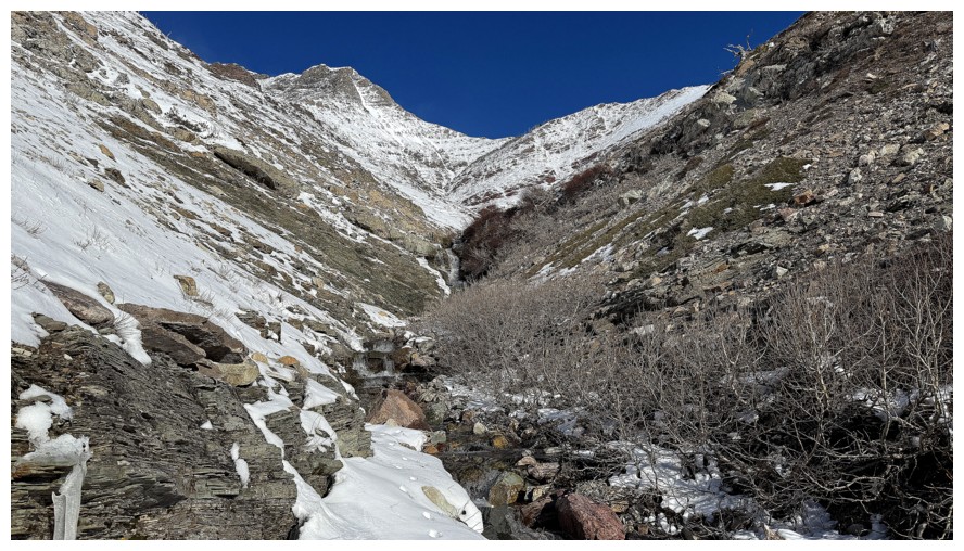
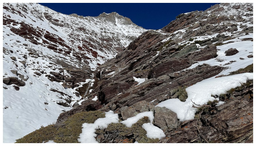
Looking left for a potential line up to Knot Ridge
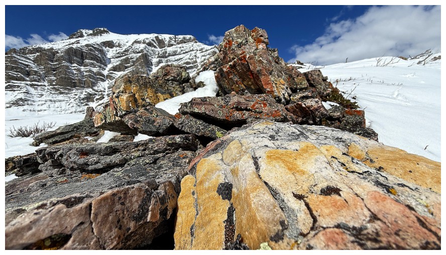
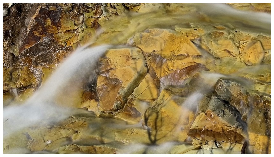
However, it will be hard to leave the drainage when this much argillite is begging to be explored
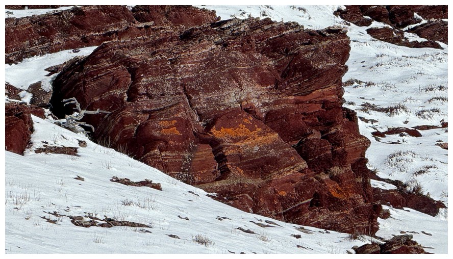
Long exposure photos with red argillite afford me a disturbing amount of pure joy!
So does the fresh snow and deep, blue sky
This reminded me of the kaiju from Pacific Rim
A much smaller version though
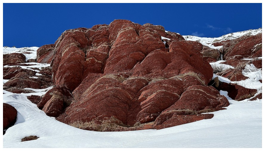
Nice contrast to the red argillite
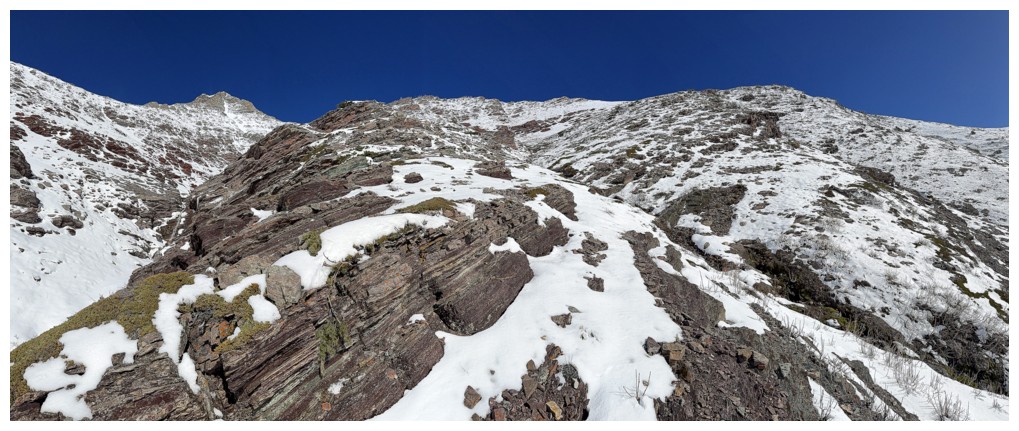
Could have gone up to the ridge here...
...but no way was I missing this scene
Close-up of The Muffin and some clouds above
This water scene yielded an interesting long exposure photo
This one
Scrambling up that looked a little dicey
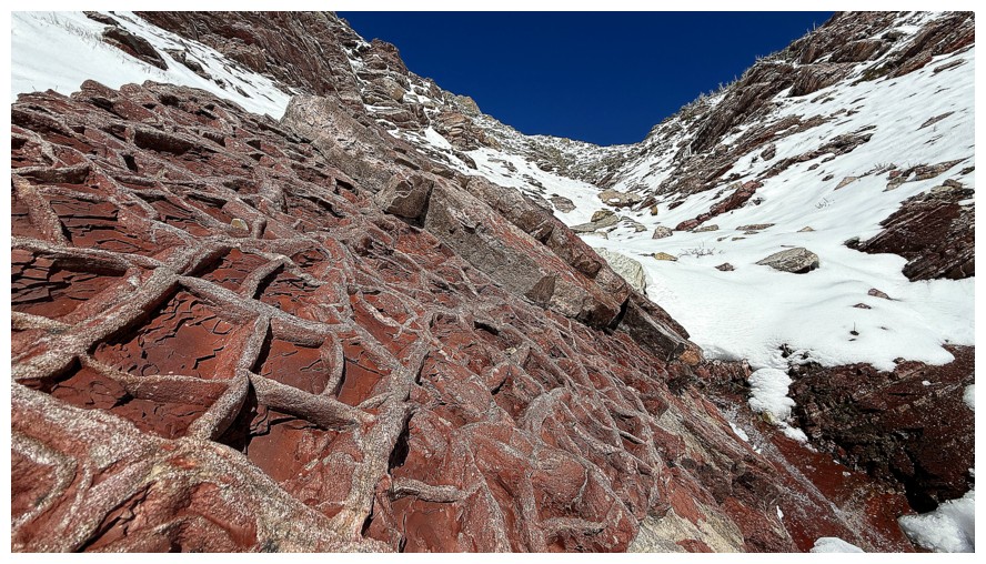
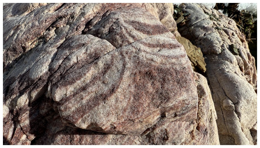
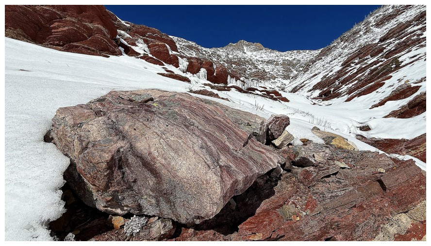
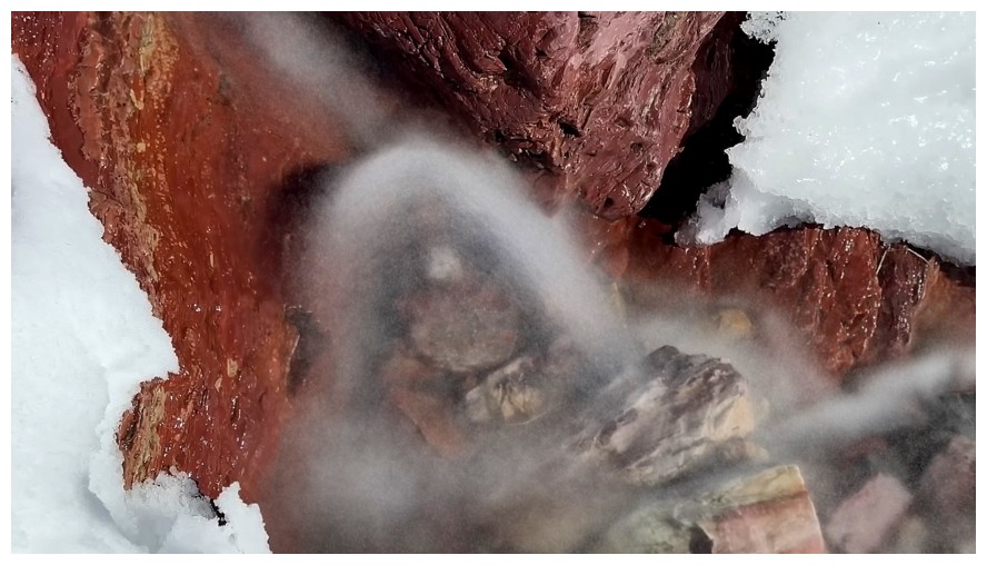
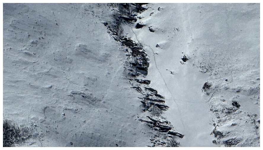
Not sure what geological phenomena causes this but it's amazing
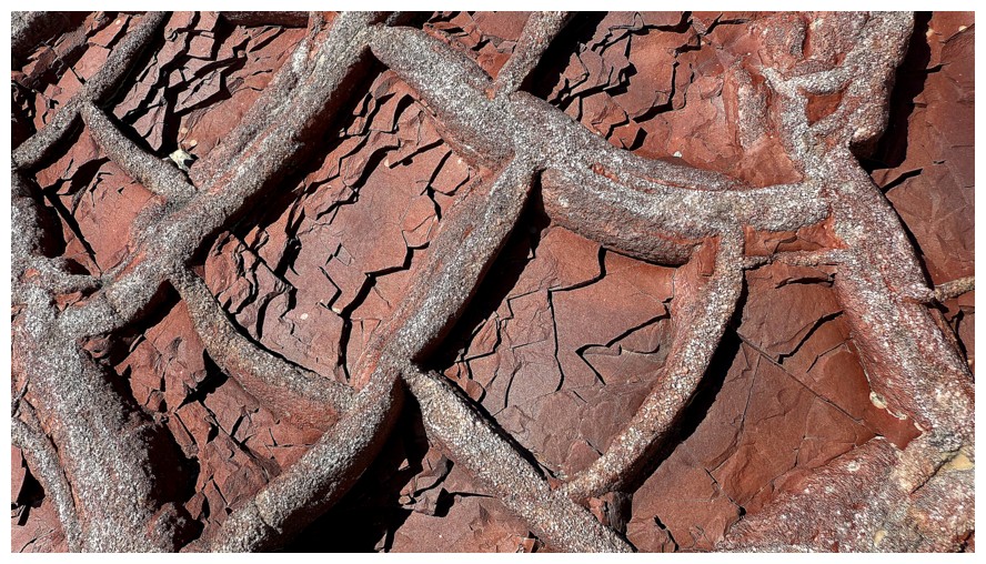
Close-up
Resuming travel. Looks like the red argillite section is nearing its end.
End of the line for the drainage
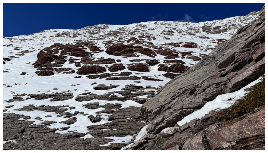
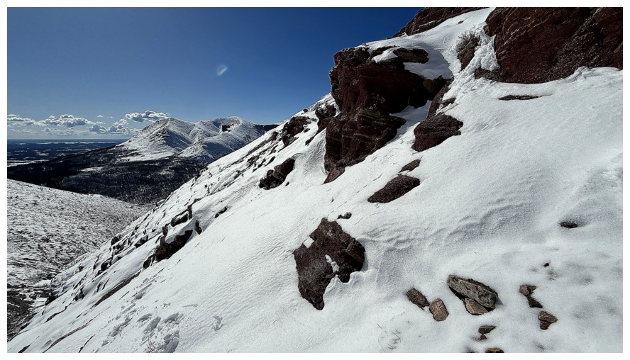
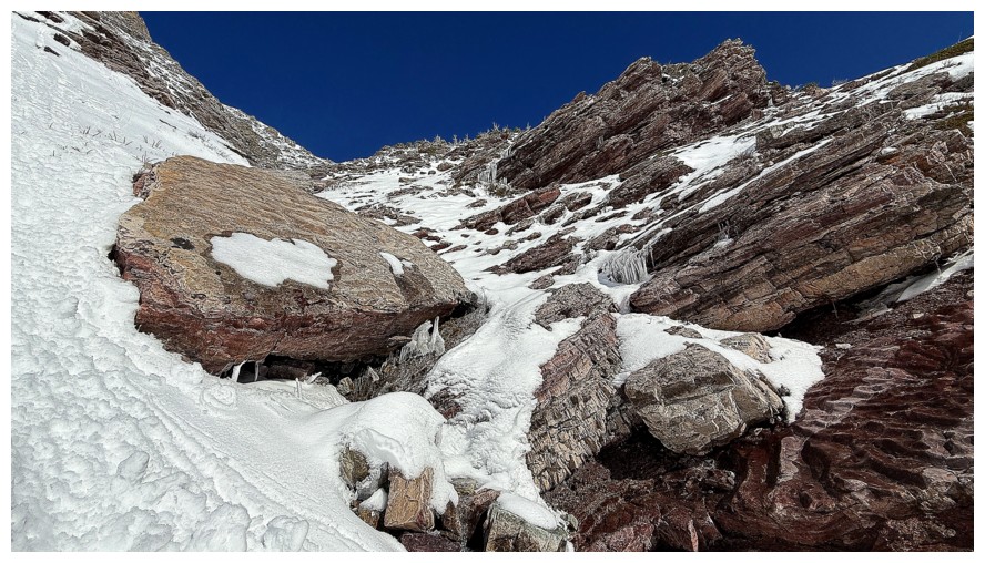
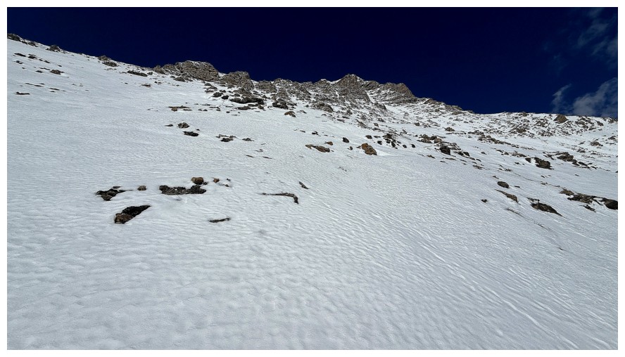
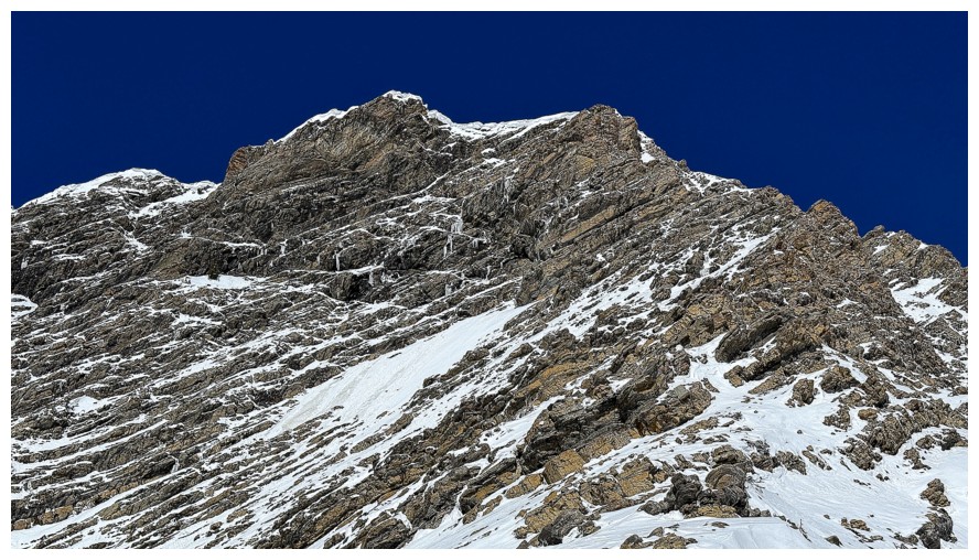
Taking a break to put on crampons to ascend this slope. I thought the skyline here was the ridge, but was way off.
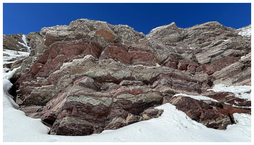
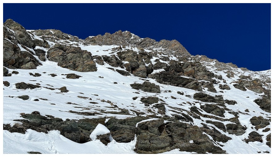
The rock above me
Going around the rock above me
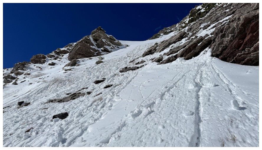
The angle of the slope
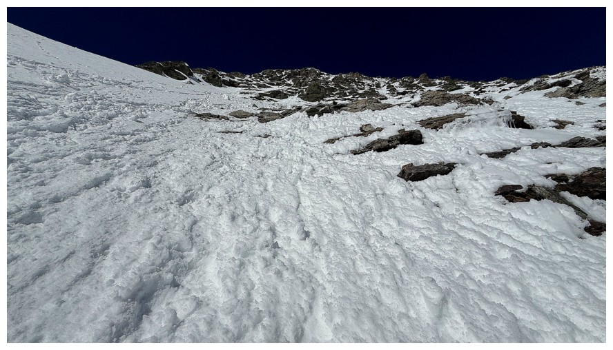
The route ahead
My tracks, as I traversed to the left at this point
The ridge looks close...
...but it's not, as that was a zoomed-in shot
Another zoomed-in photo. I'm aiming for the left side.
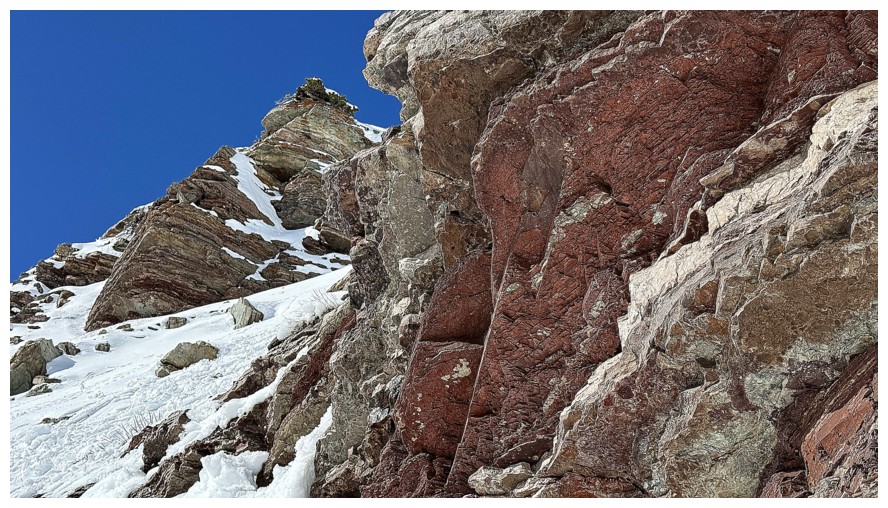
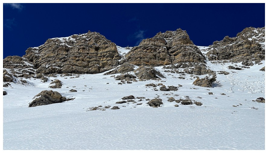
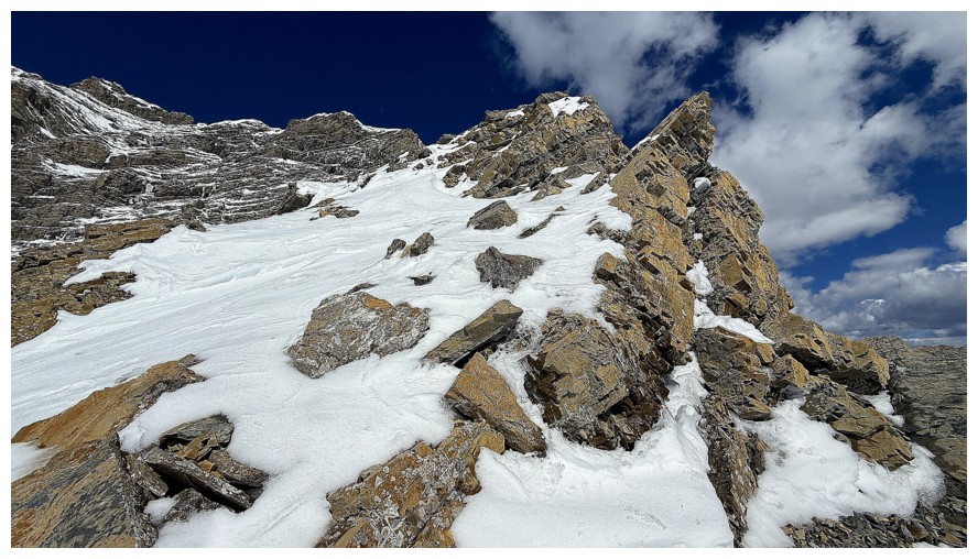
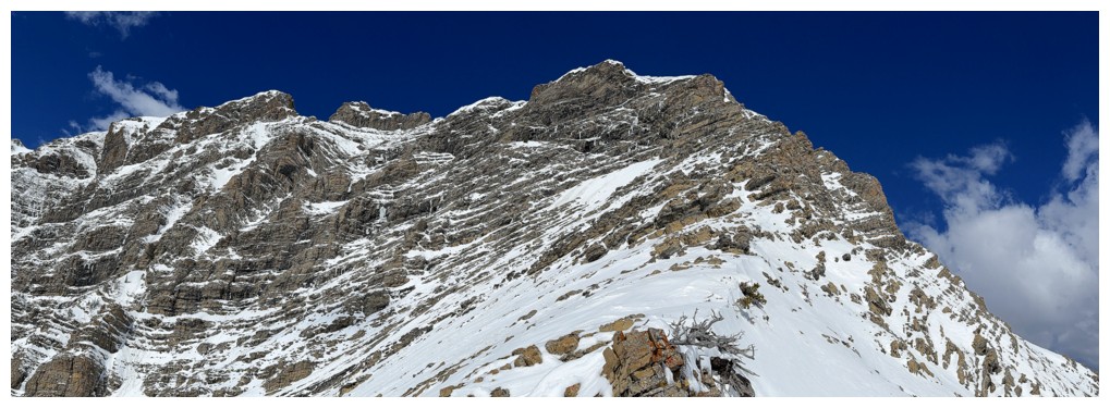
Finally below some cool rock and near the ridge
Same as above
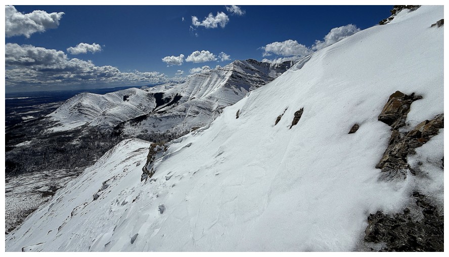
Steps away from Knot Ridge
On the ridge, with my highpoint close by
The ridge between Drywood's summit and The Knot
My highpoint in the centre
Steps away
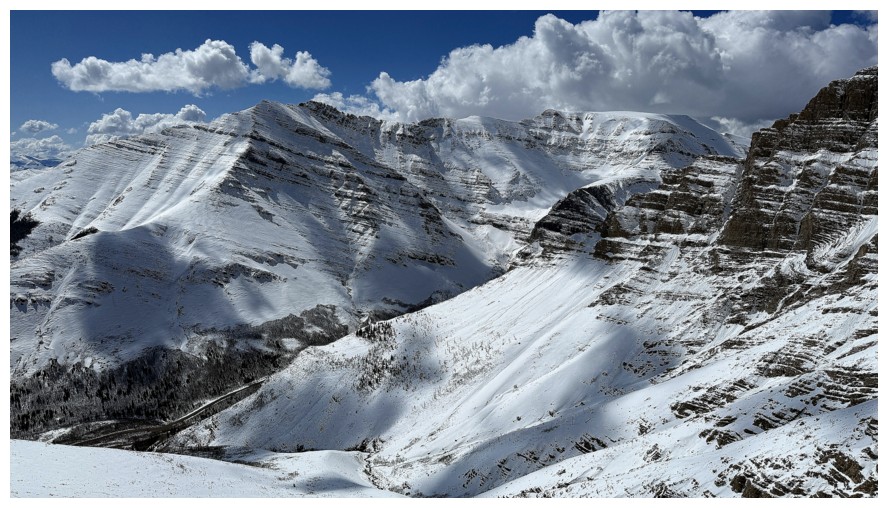
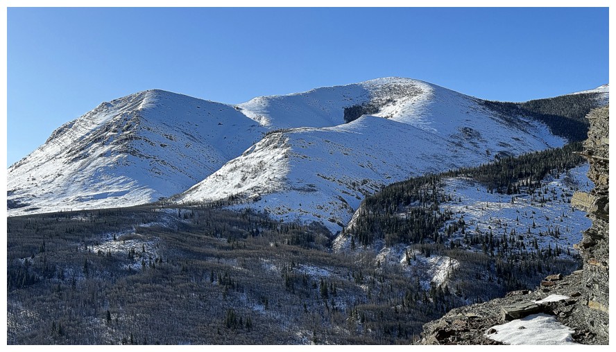
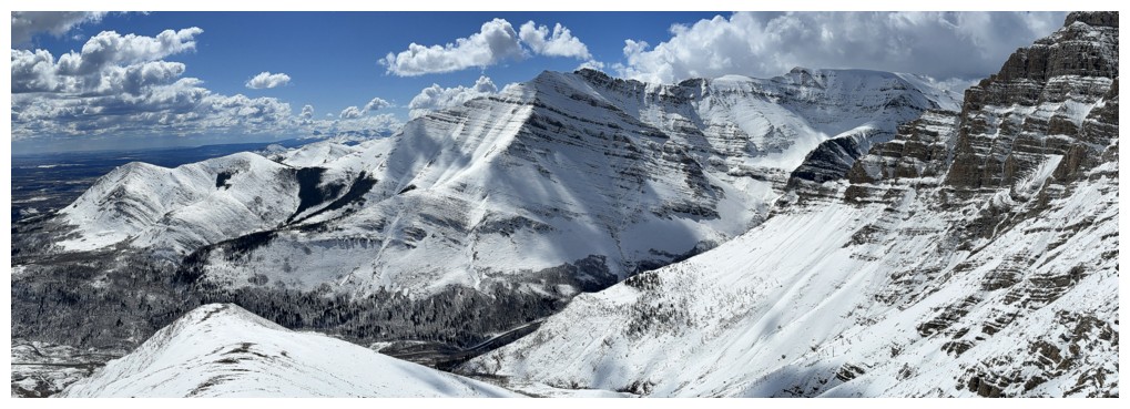
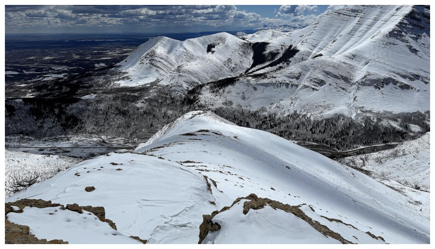
Bakery Peak and Icing On The Loaf Peak make up the highpoints on the
east end of Loaf Mountain and Pastry Peak (just right of centre) is the
middle summit of Loaf
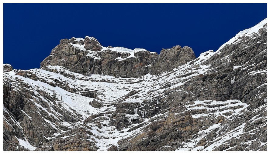
The Knot
The Knot and more
Summit panos
Close-up of Bakery and Icing. They are very close to each in distance, but separated by some very challenging terrain.
Pastry close-up
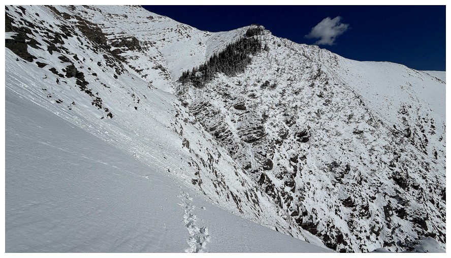
Looking down on the lower part of the route Dave and I took 24 hours earlier
Close-up. You can see our ascent tracks in the centre, my descent
tracks on the right and Dave's descent tracks barely visible on the left
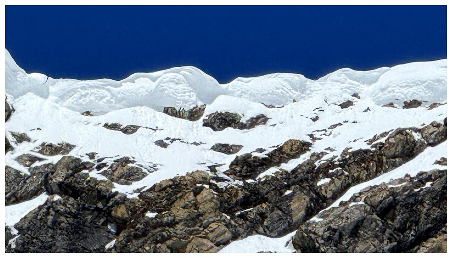
Cornices on the ridge between The Knot and Drywood
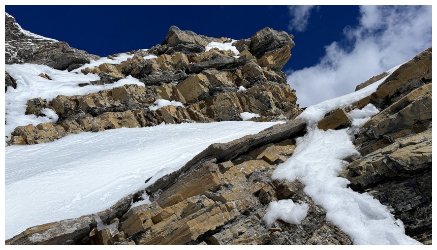
The summit block of Drywood
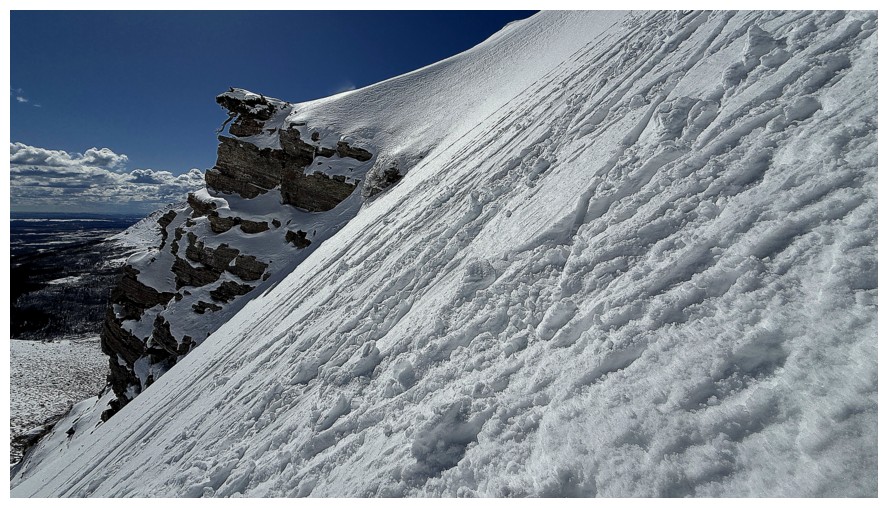
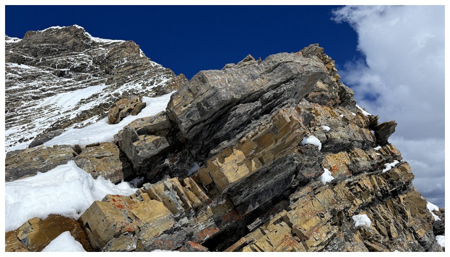
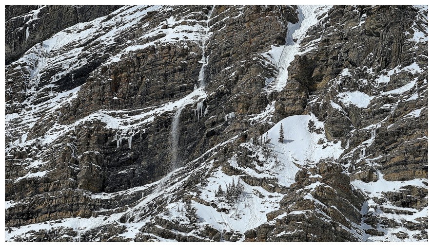
One more look at some of the splendid rock on the east side of The Knot
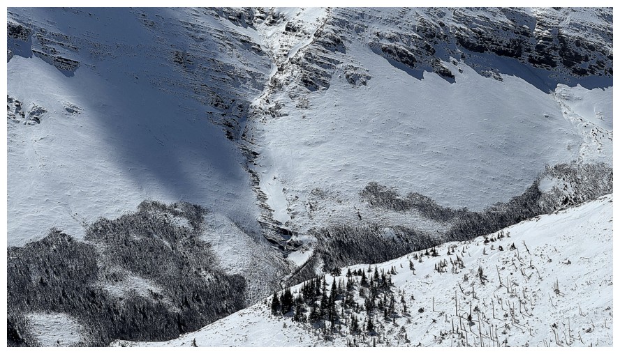
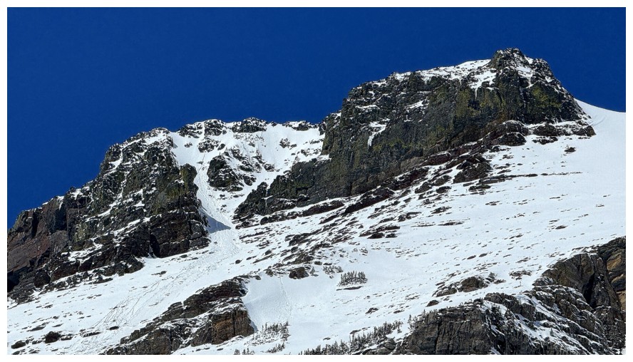
A small avalanche in the centre

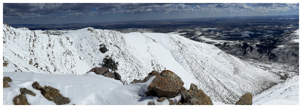
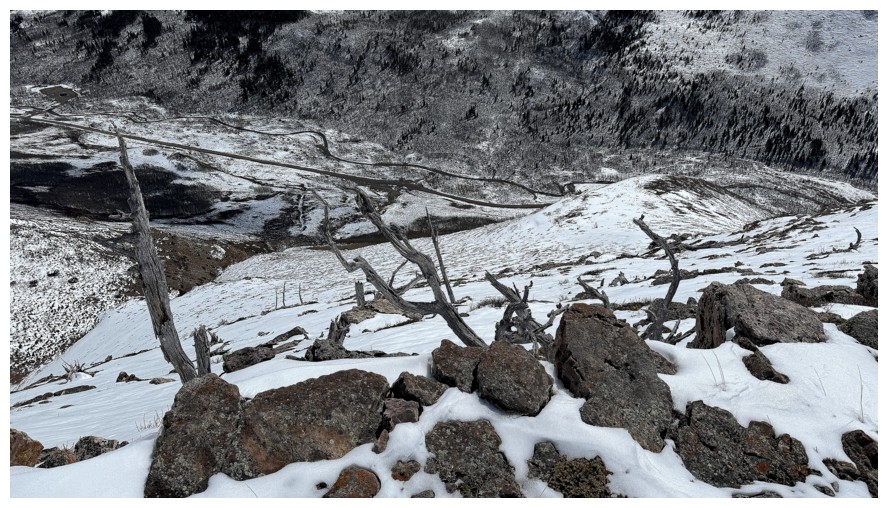
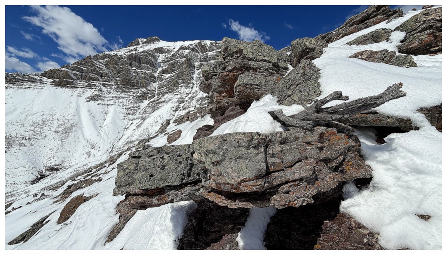
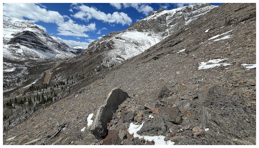
Descending. The route behind.
The wide ridge ahead
The summit of Loaf Mountain
Shocked that I made it this far without any tree shots!
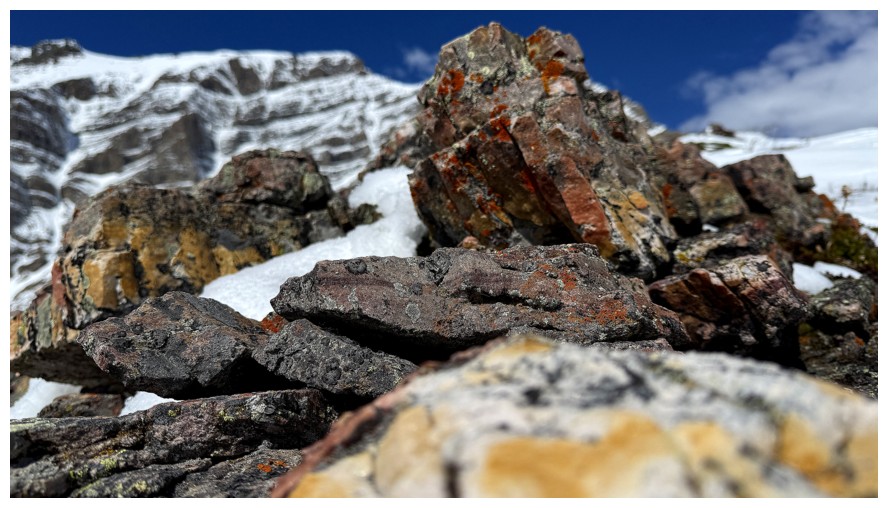
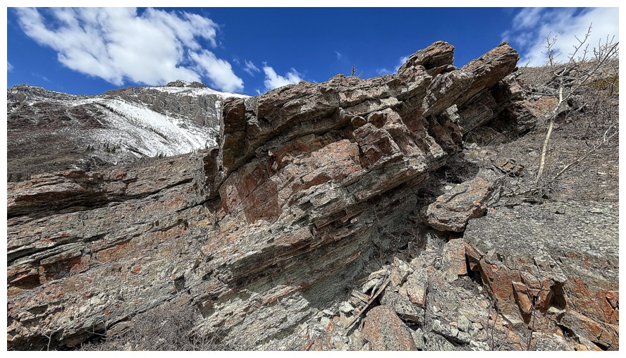
The end of the ridge has its fair share of impressive rock
At this point I should have followed the easy slopes at the left down
to the valley, but I went right, in search of more cool rock scenery
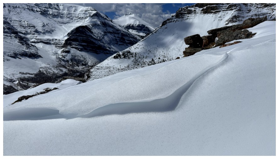
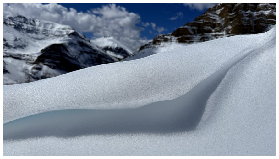
Found some cool snow scenery instead
The rocks follow
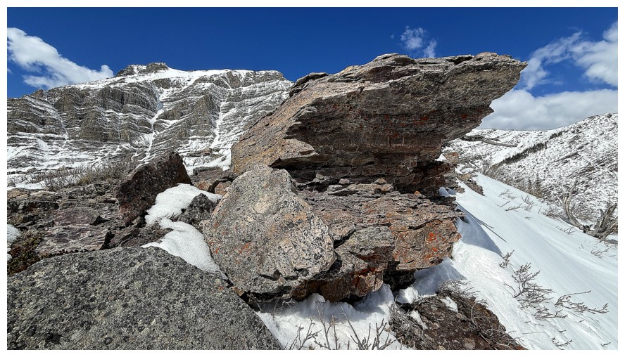
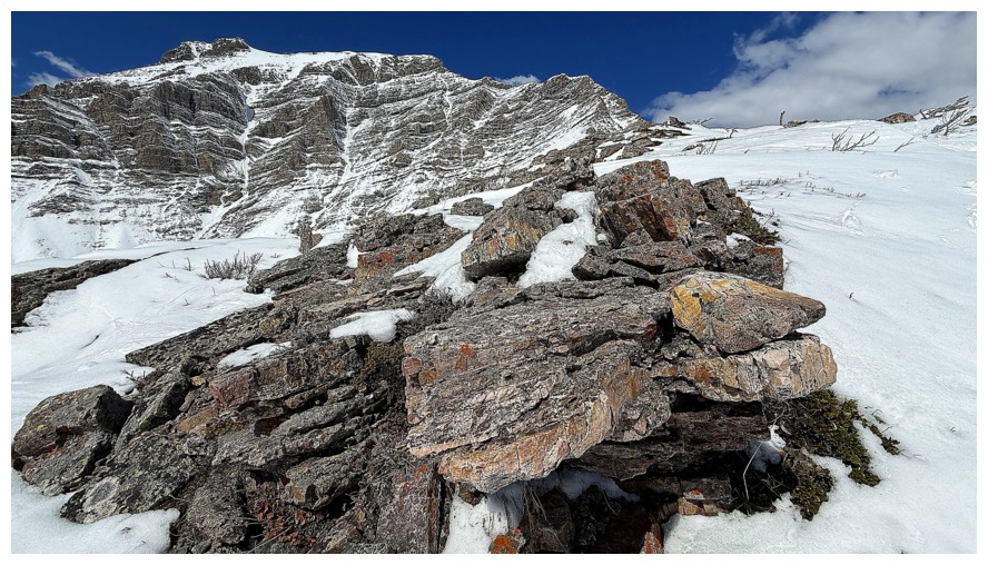
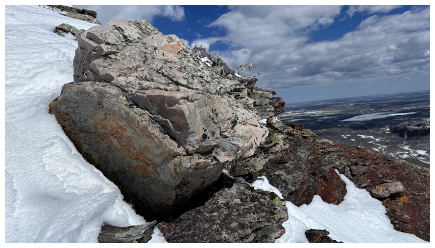
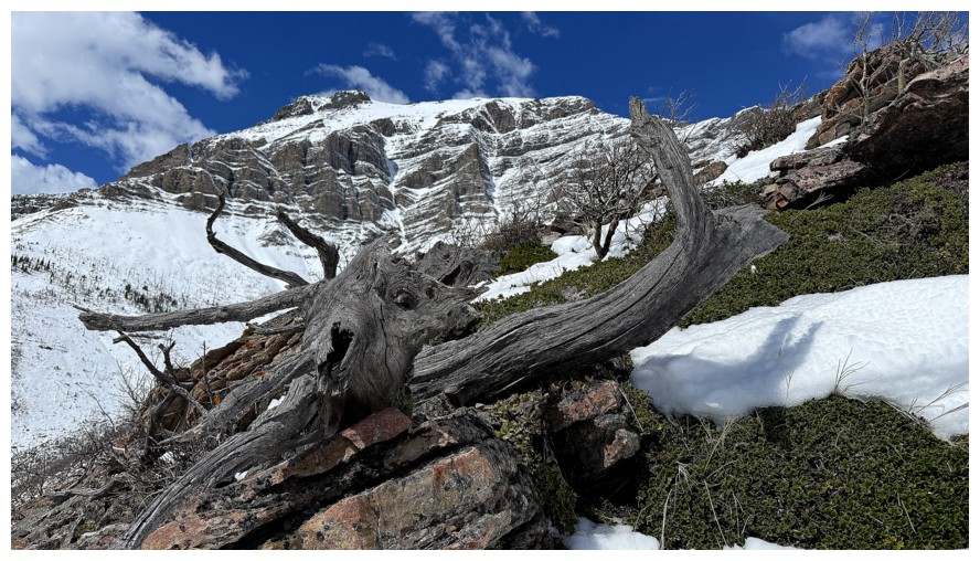
My favourite rocks of the day, as evidenced by the insane amount of photos I took of them
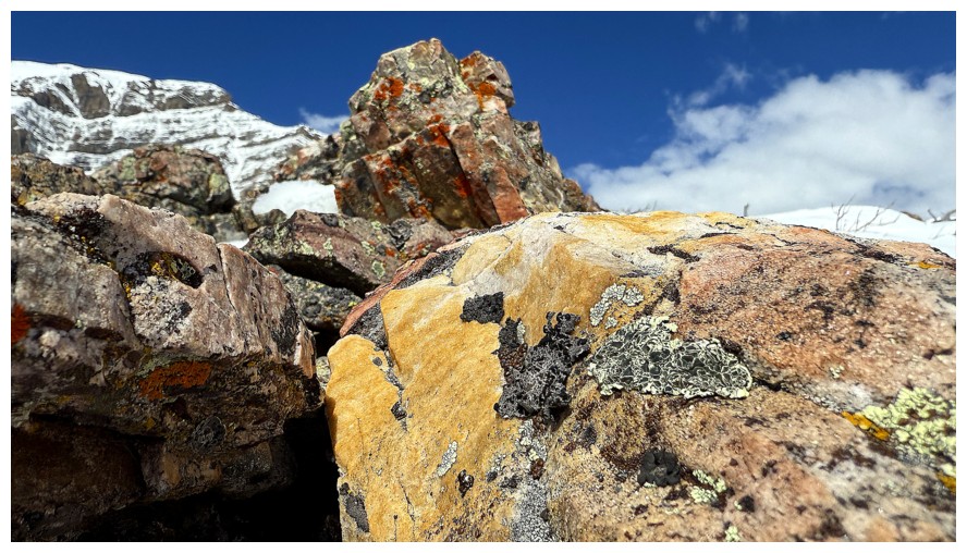
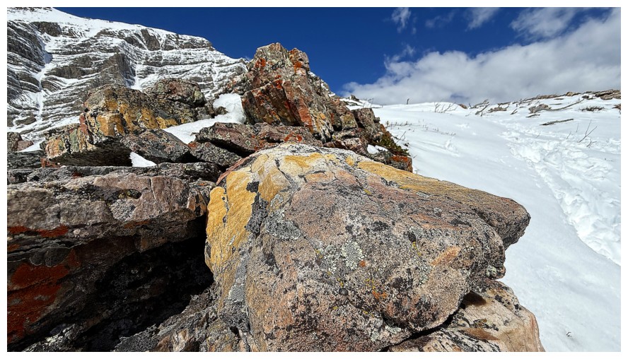
Focused in the foreground and background
Only in the foreground
Only in the background
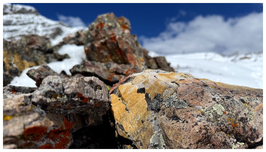
Onto the next rocks
Another
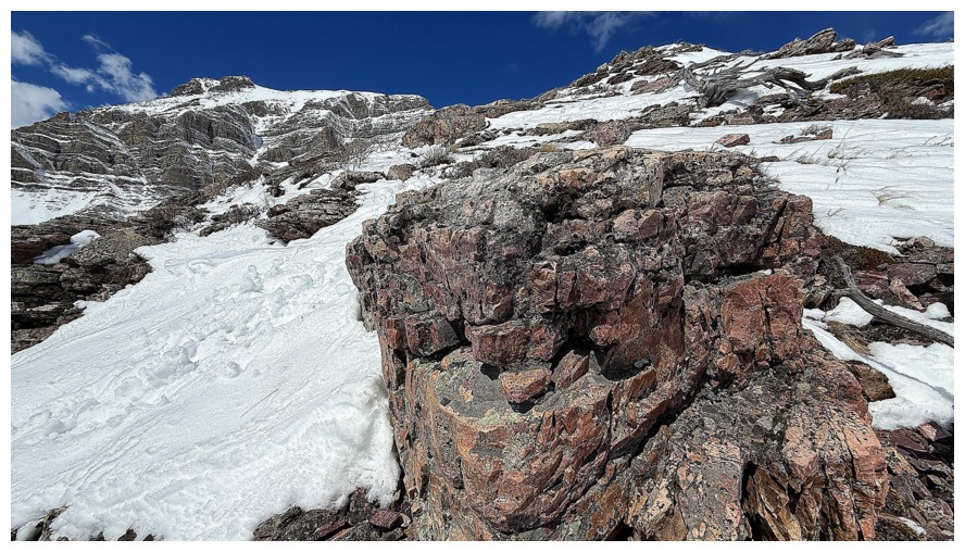
And another
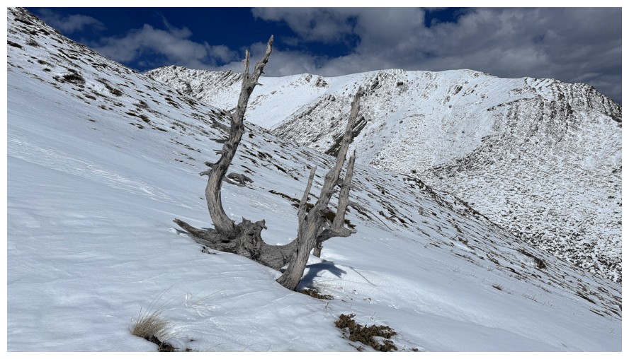
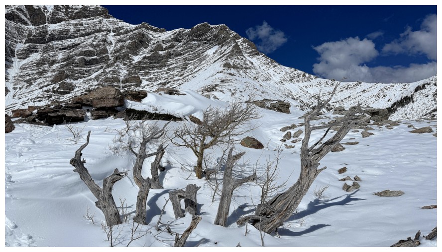
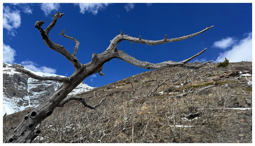
And another group of dead trees
Someday I would love to try to gain the summit of Drywood by going up the obvious weakness through the rock bands, near the left
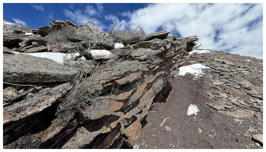
Interesting fin of rock
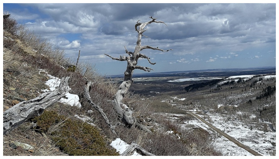
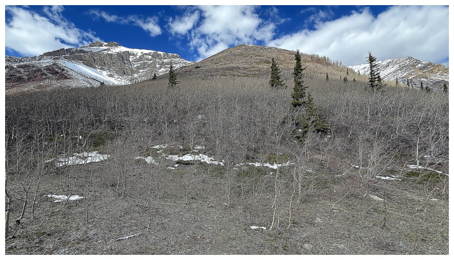
Looking back at the nasty section of tree bashing I had to get through
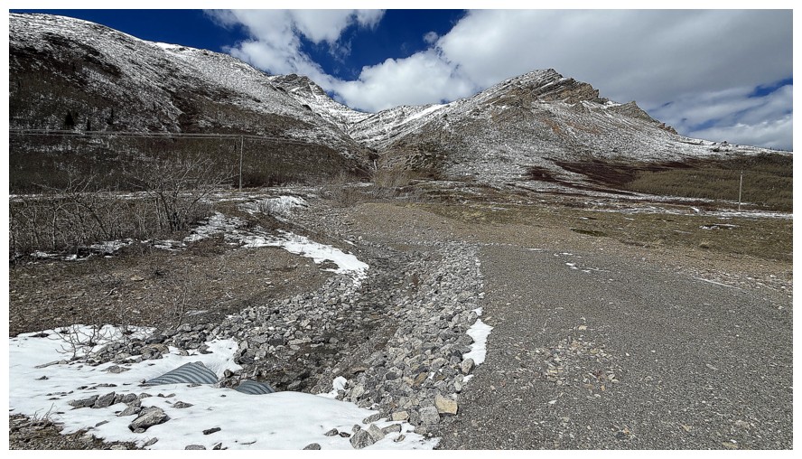
Back at the start of the ascent drainage
Lots of snow has melted on Woody during the day
The End
LOG