Yarrow
Ridge XII
(the long way!)
April 21, 2026
Mountain height: 2050 m
Total elevation gain: approximately 1000 m
Ascent time: 7:25
Descent time: 1:25
Solo scramble.
During an
outstanding visit to The Eaglet and Raptor Peak earlier in the year, I had
vowed to explore some of the potentially interesting terrain below the east
face of Mount Roche and west of Blind Canyon. Two days previous Dave and I had thoroughly
enjoyed a snowy ascent of Prairie Fire, 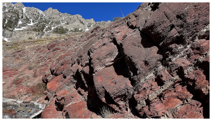 but that snow had all but melted on the
front ranges. Less snow would be preferable for this exploratory trip and so
with a good weather forecast (at least for the morning), I set out to see what
the canyon and the terrain above was all about.
but that snow had all but melted on the
front ranges. Less snow would be preferable for this exploratory trip and so
with a good weather forecast (at least for the morning), I set out to see what
the canyon and the terrain above was all about.
The first complication of the day would be how do I get into Blind Canyon? A direct route
from the road is not possible because it crosses private property. I could have
approached from The Eaglet/Raptor side but that may have required significant
elevation gains and losses. However, from Raptor I did spot a few potential
lines starting from the Yarrow Creek trailhead. The only question: is there a
trail through the thick poplar forest to get down to the creek and Blind Canyon?
Only one way to find out.
I first hiked up and around to the northeast side of Yarrow Ridge, keeping an eye out for any trail
going in the direction of Blind Canyon. And there was one - in fact it led
easily all the way down to creek. Nice!
Travel along the
creek was a different story. Without a trail on either side and a fair bit a
brush, progress slowed considerably, requiring multiple creek crossings.
 The first part of the creek was nothing to get excited about, but soon the
canyon-like features began to emerge, although I never did enter into what I
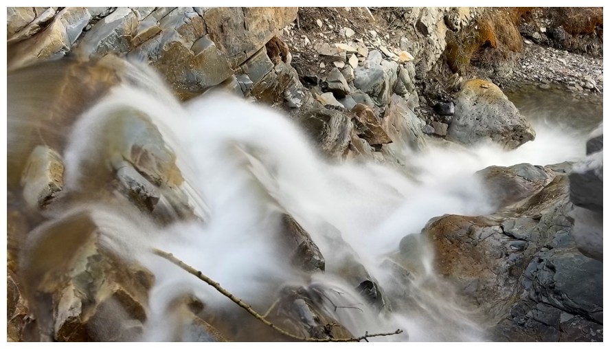
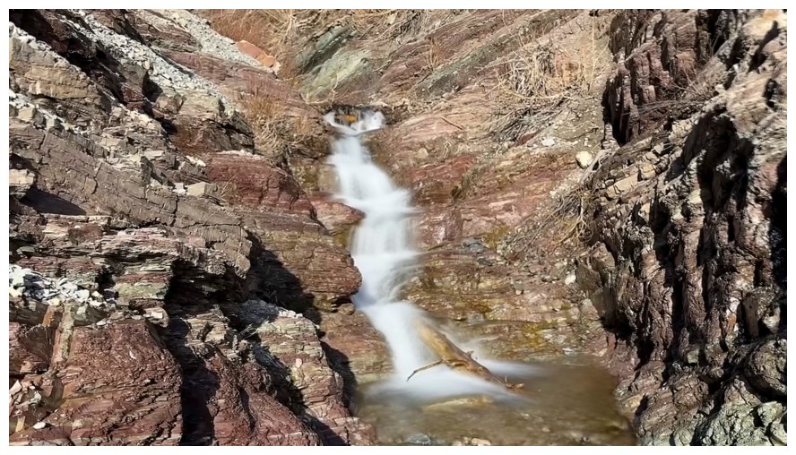
would consider a significant canyon, like Grotto Canyon in Kananaskis or Dragonfly Canyon in Moab. Long exposure photos of a
multitude of small waterfalls and of course innumerable photos of the colourful
rock occupied my time for the next hour.
The first part of the creek was nothing to get excited about, but soon the
canyon-like features began to emerge, although I never did enter into what I
would consider a significant canyon, like Grotto Canyon in Kananaskis or Dragonfly Canyon in Moab. Long exposure photos of a
multitude of small waterfalls and of course innumerable photos of the colourful
rock occupied my time for the next hour.
When the creek
split, I had to decide which fork to take. The right fork would take me closer
to Raptor Peak and the left fork closer to Yarrow Ridge. I chose the right, as
to appeared to lead to more interesting terrain (that is, red argillite!)
Progress up this subsidiary creek was even slower. This was mainly because of a
desire to stay right alongside the creek and not on the easier slopes above.
The fun scrambling required to achieve that goal became quite time-consuming –
but, as stated, it was fun and worth every minute. As usual, my compulsion to
take way too many photos was also a culprit for my snail-like pace.
More
decisions
higher up, as this waterway also split. At this point, I really needed
to start
thinking about a descent route. I didn’t want to return the same way
and if possible reach a summit first. Raptor was closer and
much easier to
get to but would require a longish walk along the road back to my
vehicle. Getting
over to Yarrow appeared more challenging, however once at the summit, a
short
and straightforward descent would follow. In the words and spirit of
one of the
greatest lyricists (and drummers) in music history, Neil Peart, I
decided to
not make a decision: “If you choose not to decide, you still have made
a choice”
(Freewill, 1980).
Instead, I
continued up the present drainage, heading towards what was left of a few
frozen waterfalls that were fully formed several weeks earlier. 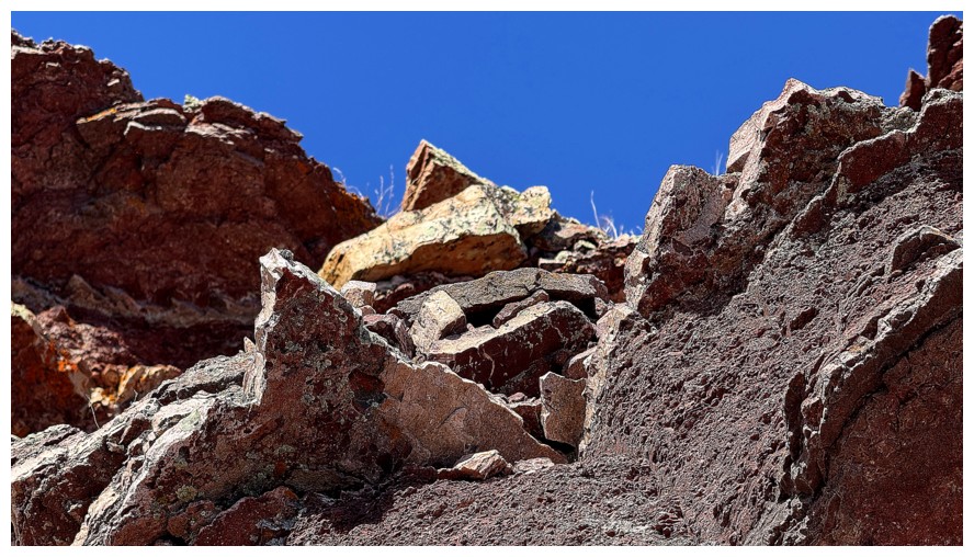 This part of
the route involved interesting travel up a gully filled with old and new
avalanche debris. I took a break at the base of one of the falls that had
completely disappeared and then traversed over to the second, that was more or
less still intact.
This part of
the route involved interesting travel up a gully filled with old and new
avalanche debris. I took a break at the base of one of the falls that had
completely disappeared and then traversed over to the second, that was more or
less still intact.
Now a decision
would have to be made and that decision was Yarrow Ridge. This would involve losing
and few hundred metres of elevation, traversing over to one of many potential
ascent lines and then plodding about 300 vertical metres up to the ridge and
summit. Descending was easy; traversing, a nightmarish bushbash for some of the distance; and the
ascent of Yarrow, straightforward but tiring. Thankfully the perfect weather
continued to hold well into the afternoon.
As I was
approaching the ridge, I was also approaching a level of exhaustion not
experienced in a long time – probably due to too much Sun exposure and not
stopping enough to rest and refuel. I therefore went immediately to the
highpoint of Yarrow Ridge and started the descent. The mercifully easy descent
went well, but I was obliterated by the time I reached the start (shades of
Iceface Peak).
Besides my
unexpected physical deterioration near the end of the trip, a thoroughly
outstanding trip on mostly new terrain. Still lots more to explore in the area
and so I’ll be back!
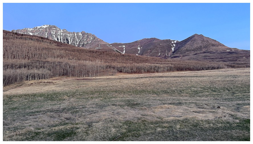
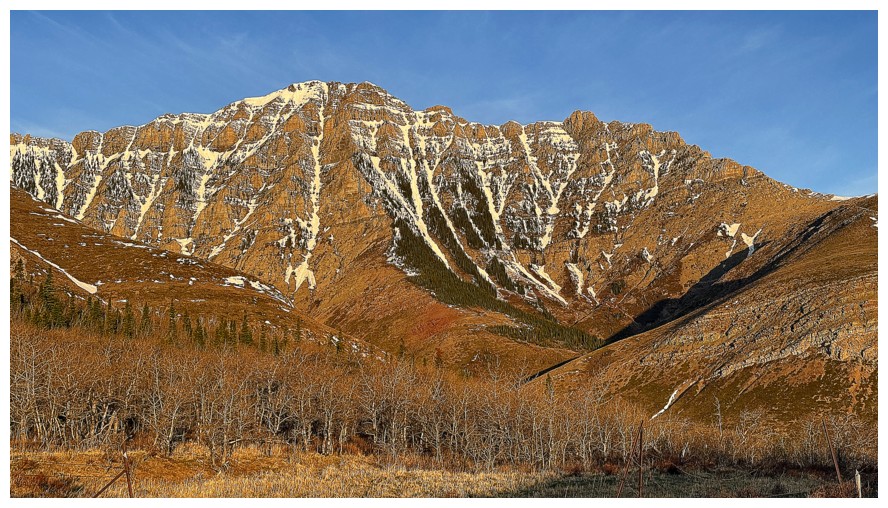
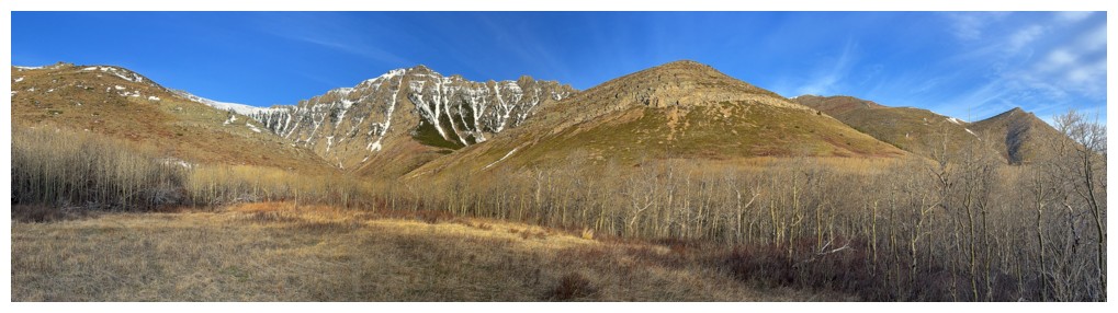
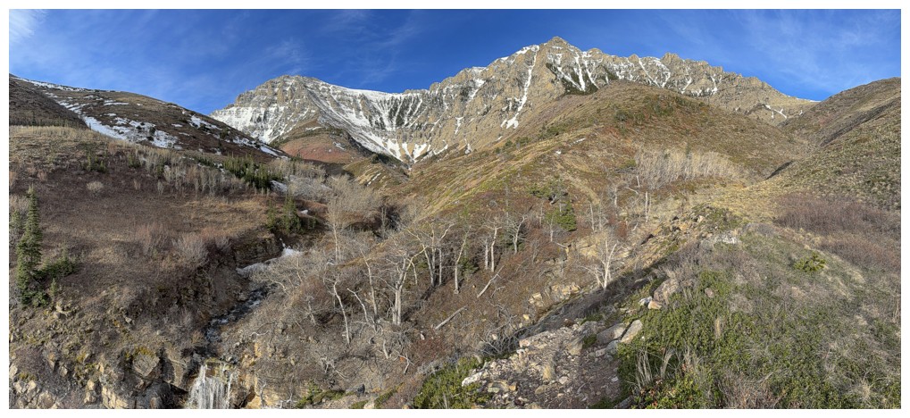
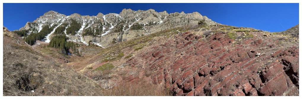
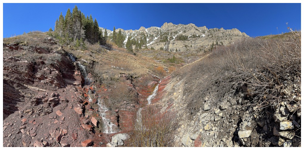
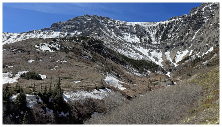
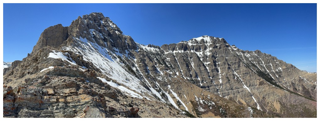
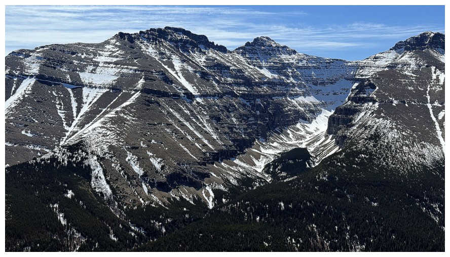
The Eaglet and Raptor Peak at the left and Mount Roche at the right.
The goal was to check out the terrain below and between Raptor and
Roche, however the land in front is private land.
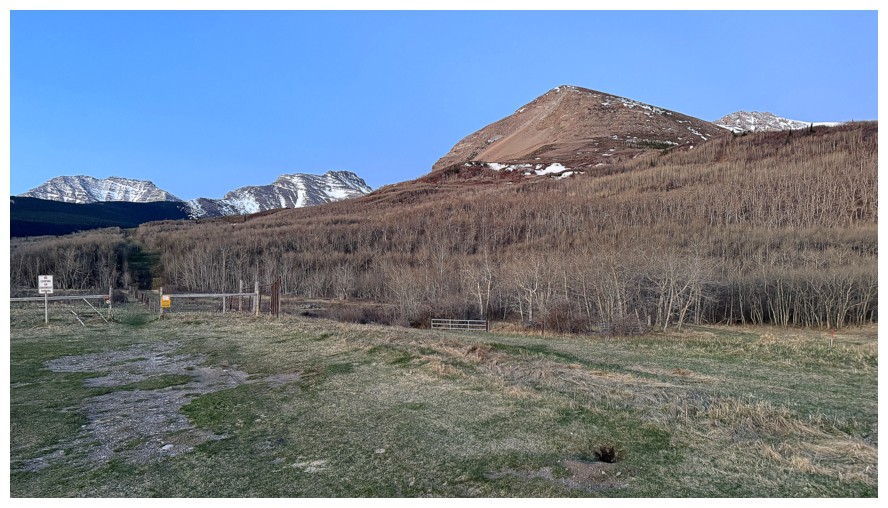
Instead, planned route is to gain the northeast base of Yarrow Ridge
(at the right) and then descend to the creek and Blind Canyon
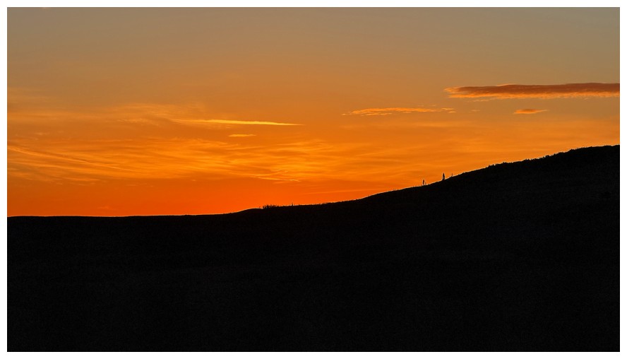
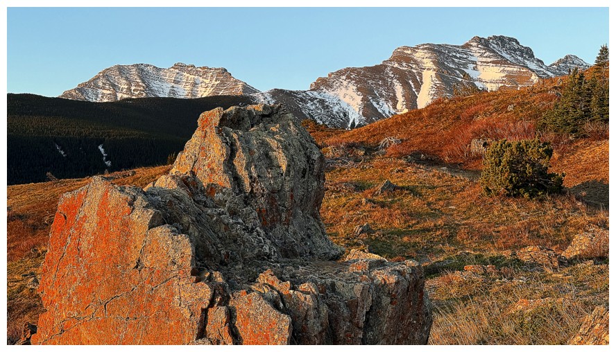
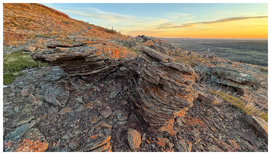
Beautiful sky before the Sun rises
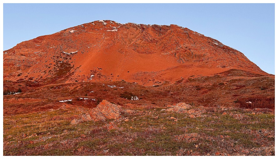
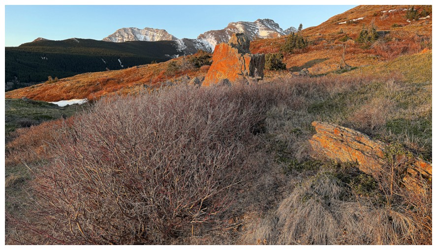
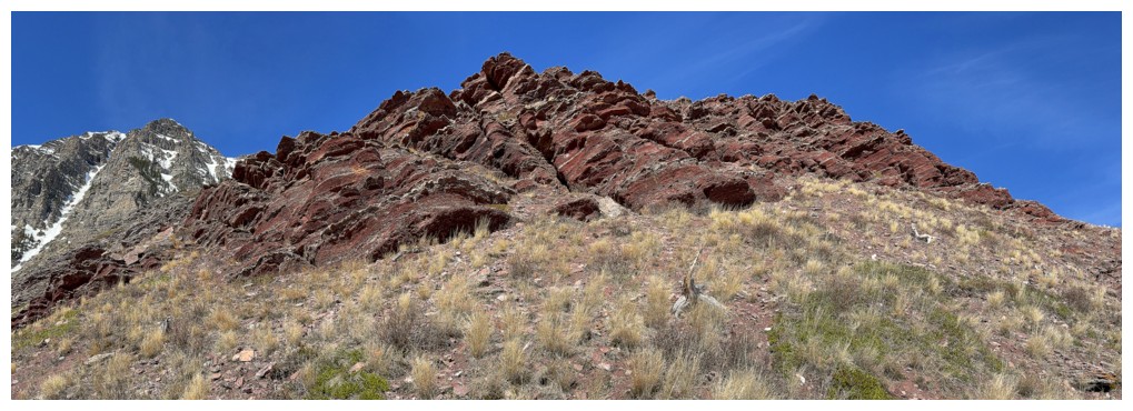
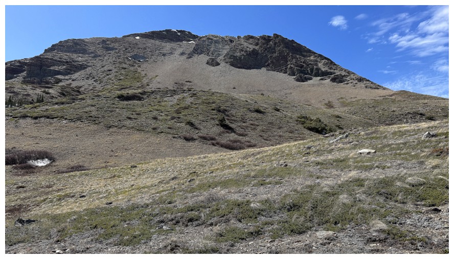
The Sun hits the incredible east side of Yarrow Ridge
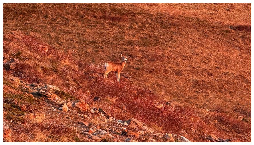
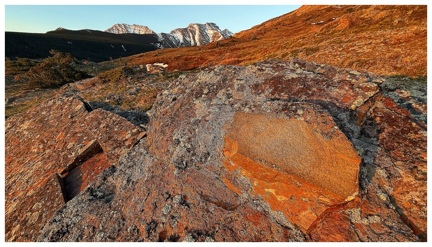
The Sun also lights up Bambi
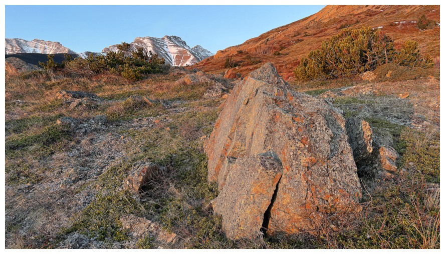
Random boulder and Cloudy Junior in the background
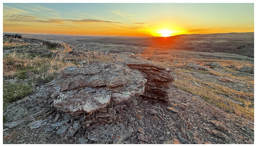
Here comes the Sun
Minutes later Yarrow is sporting a slightly different hue
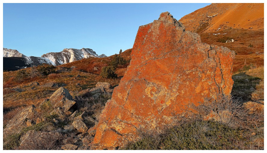
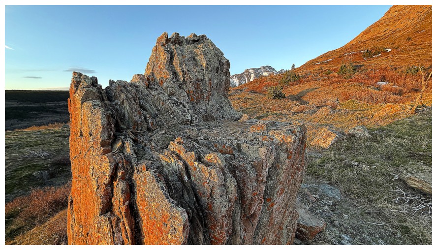
Another random boulder
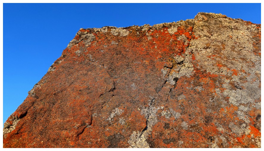
Close-up
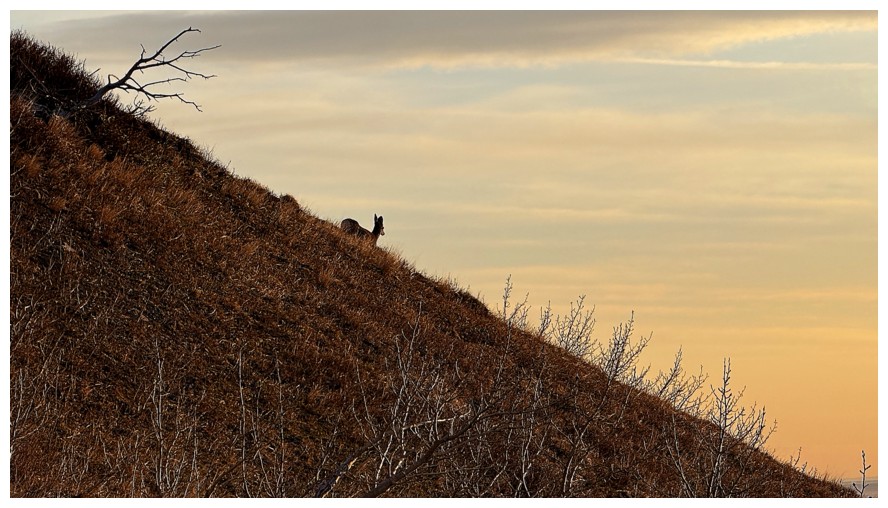
Bye-bye Bambi
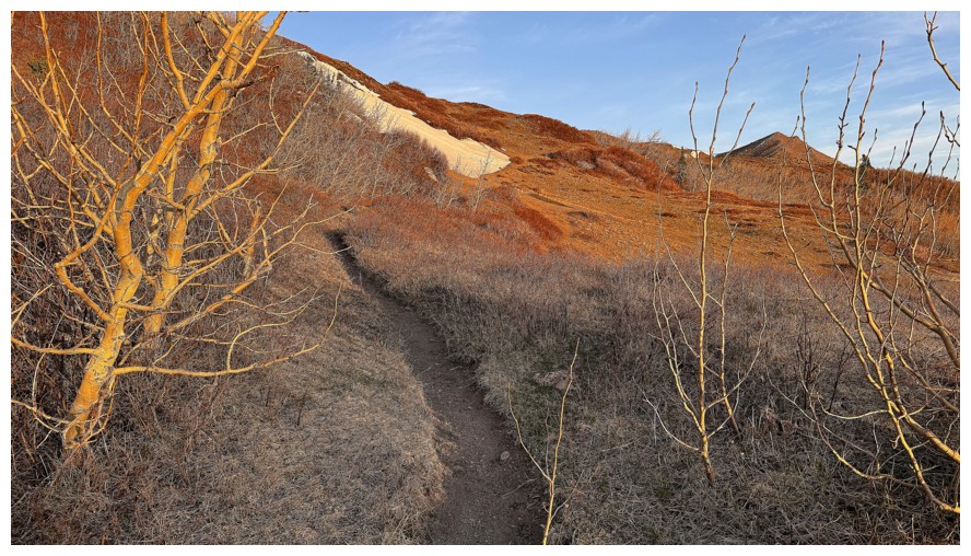
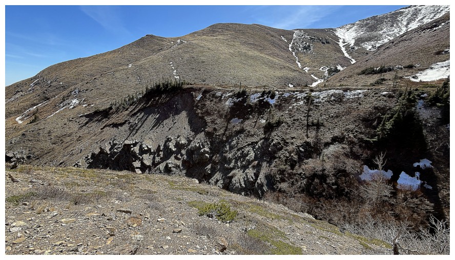
On the prominent trail that heads towards Blind Canyon
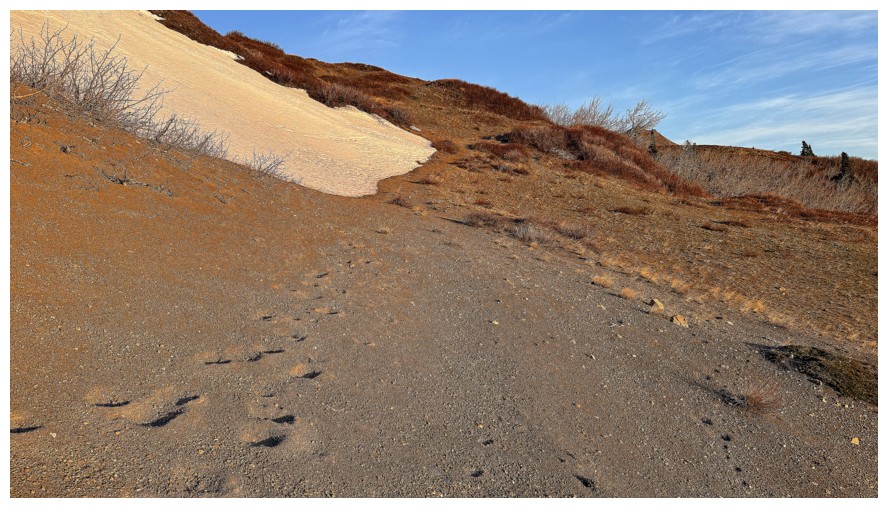
Cool sand-like section of the trail
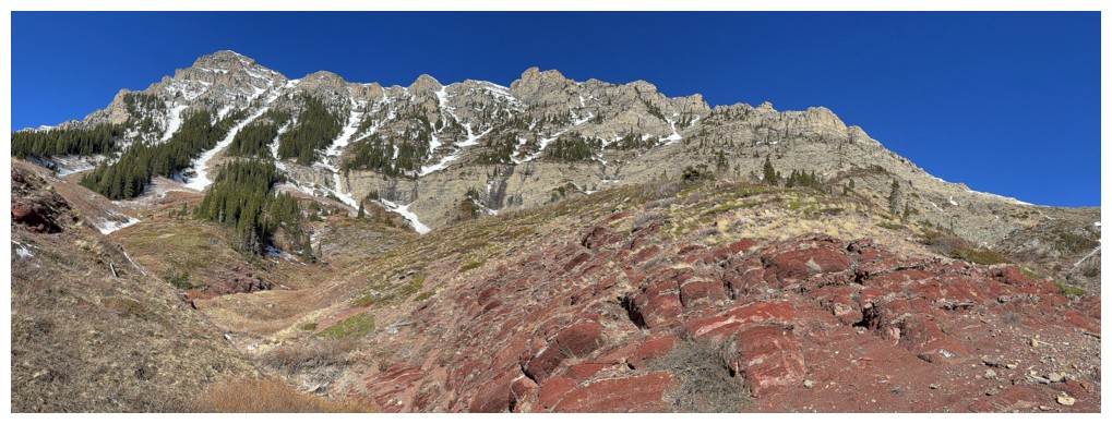
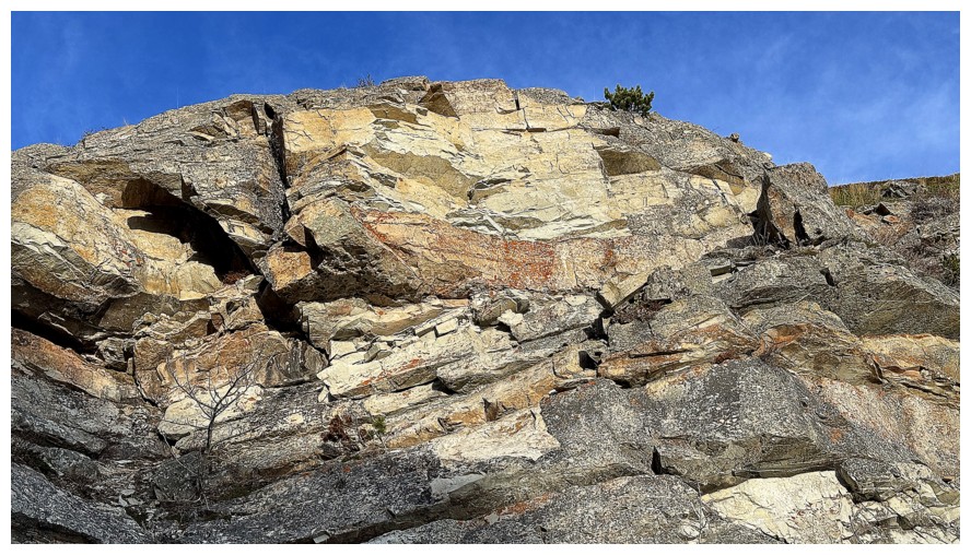
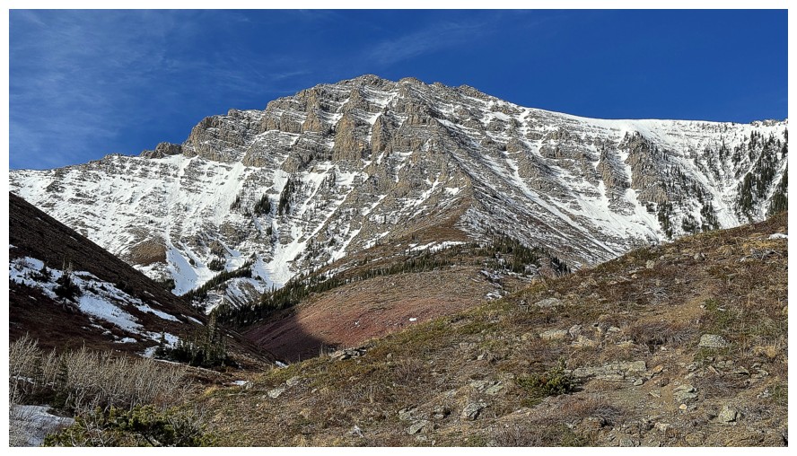
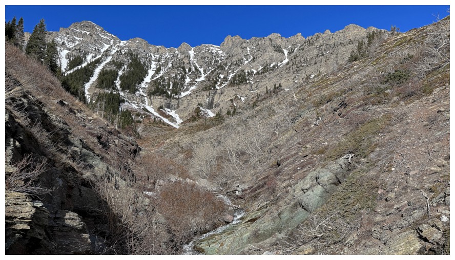
First good view of Roche's east face
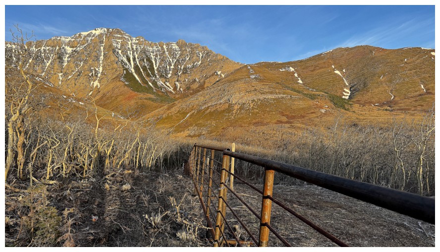
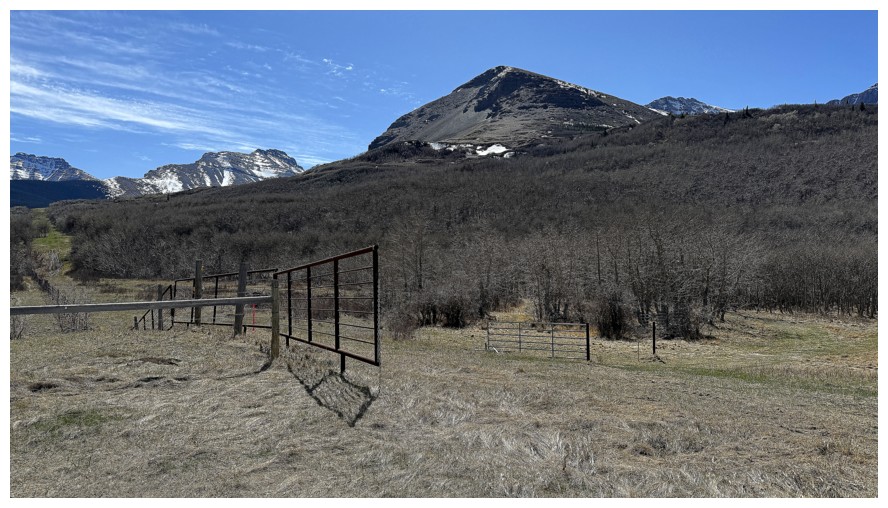
Hiking alongside a fence
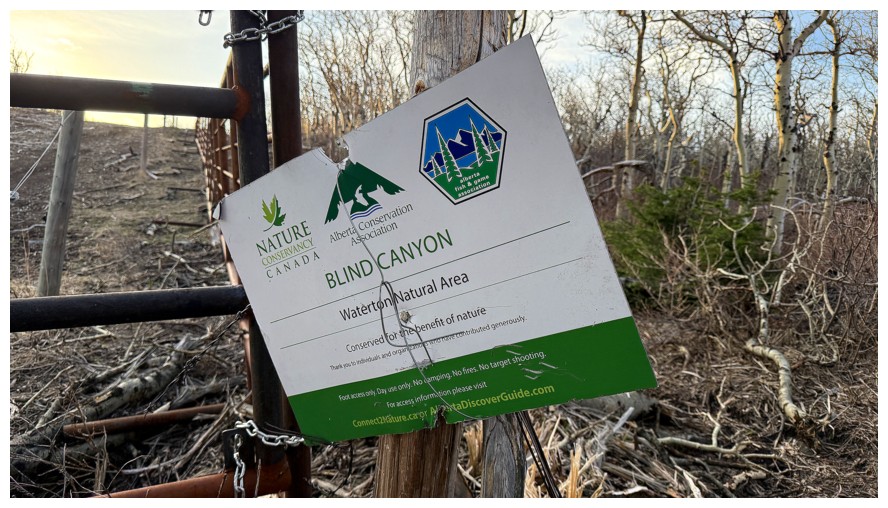
At the end of the fence hangs this sign
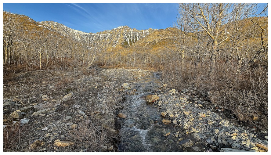
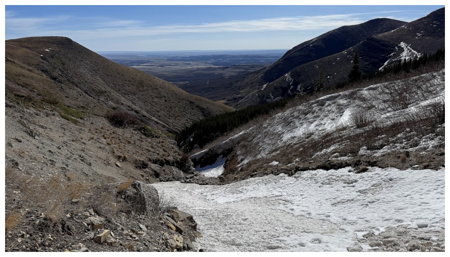
Down to the creek and ready to follow it into Blind Canyon
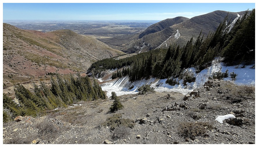
Short detour away from the creek to take in an overview of the area
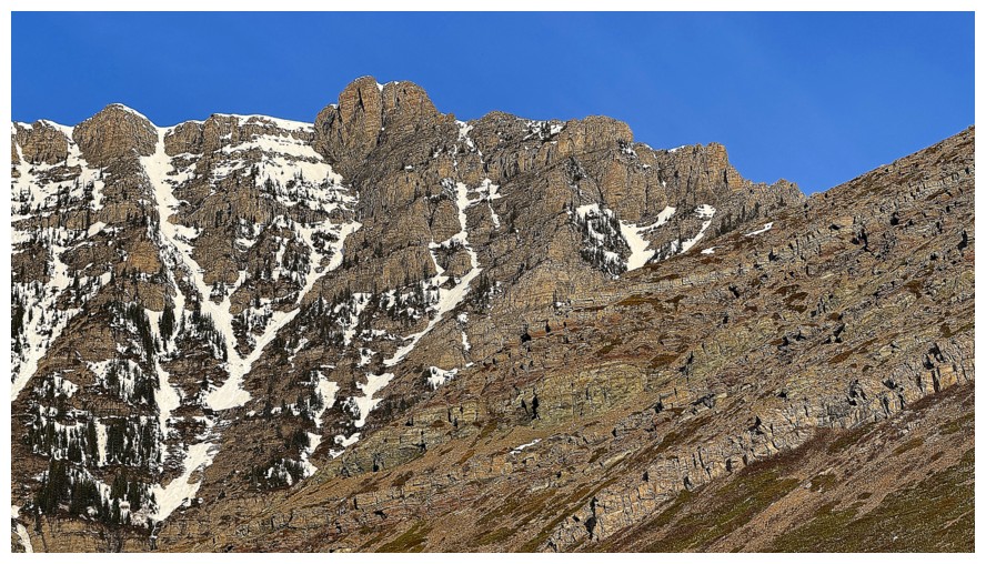
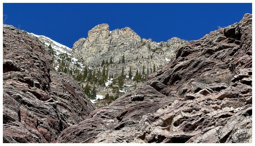
The east ridge of Roche
The summit of Roche
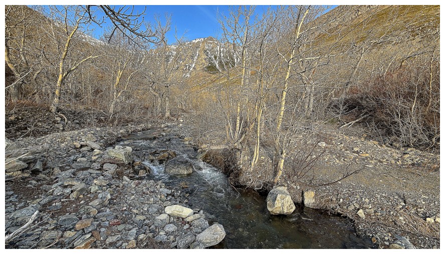
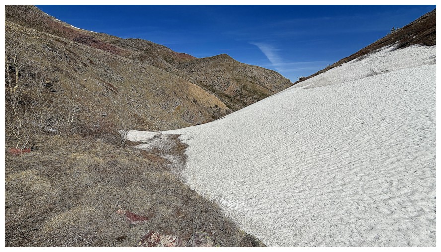
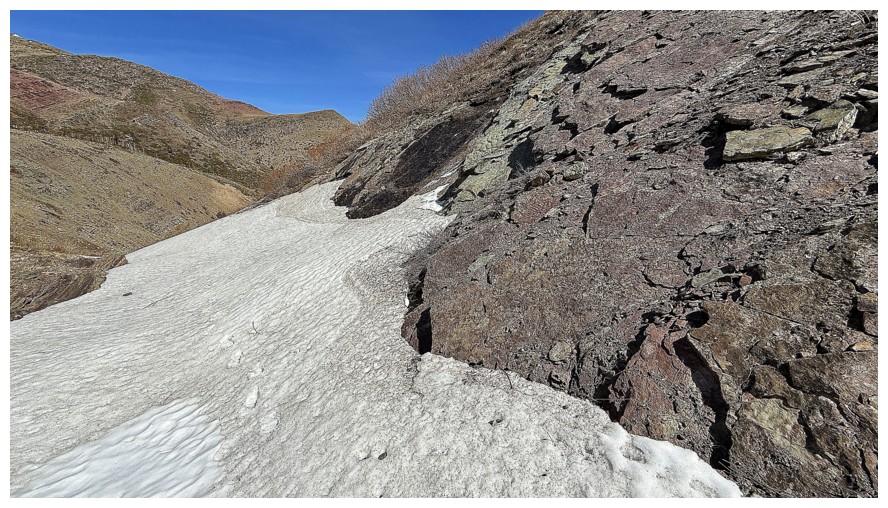
Typical travel near the creek
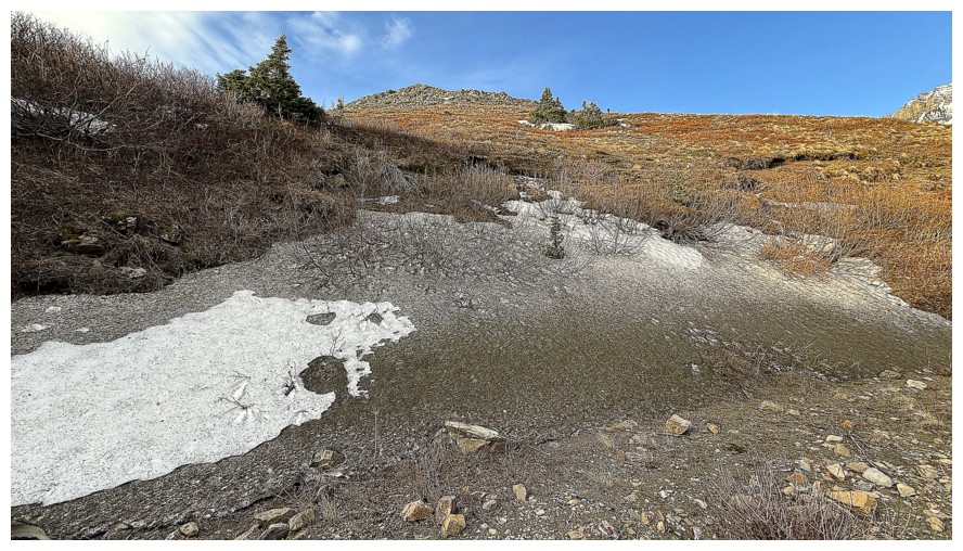
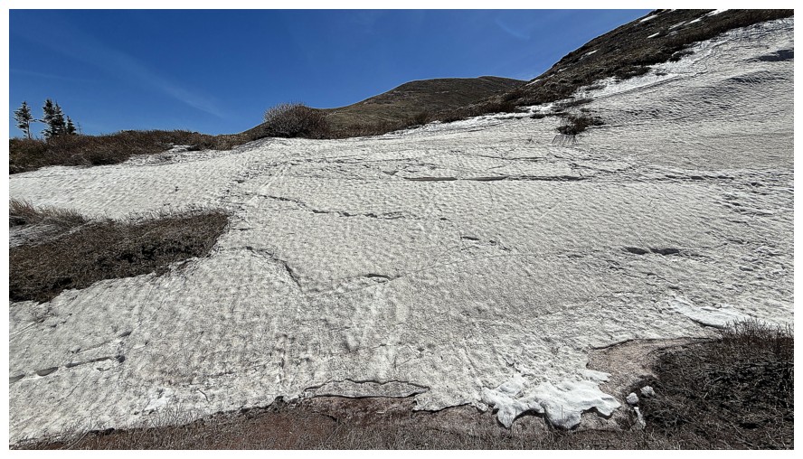
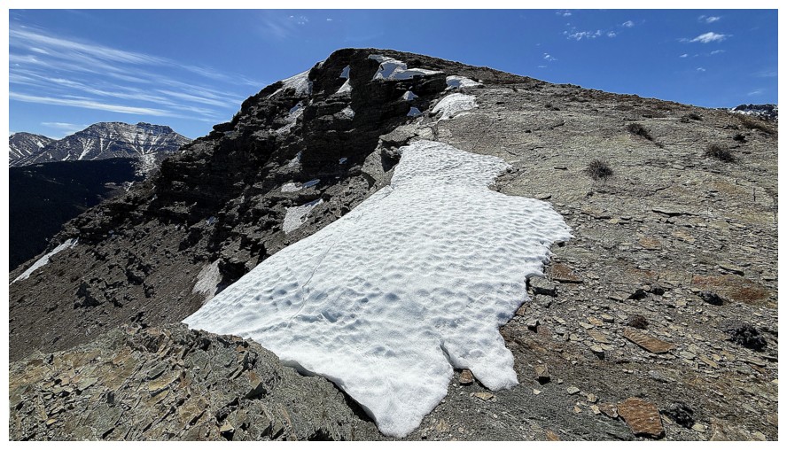
Big patch of dirty (rock covered) snow
Dirty snow at the left, Roche in the centre
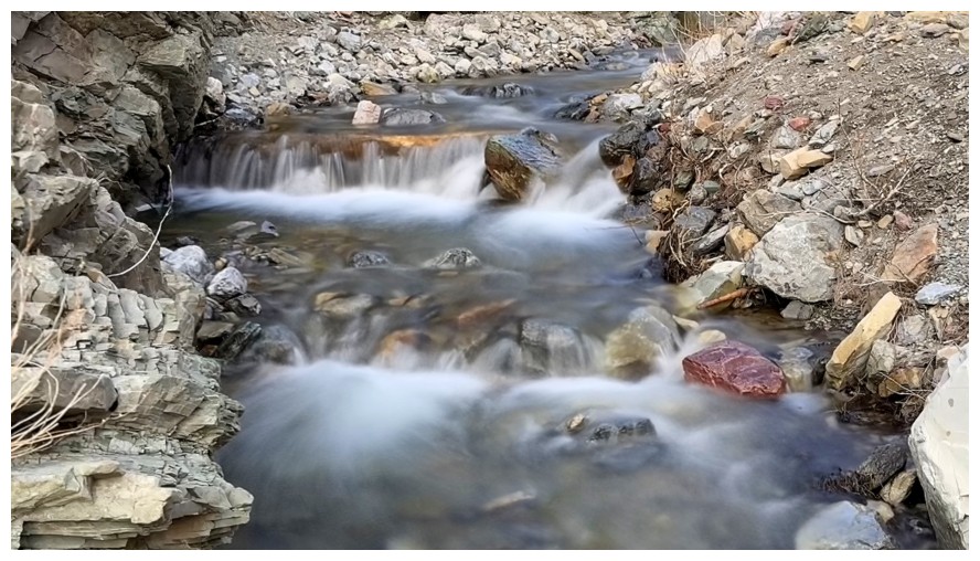
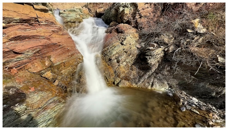
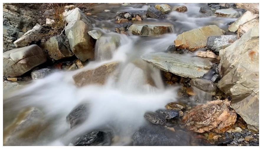
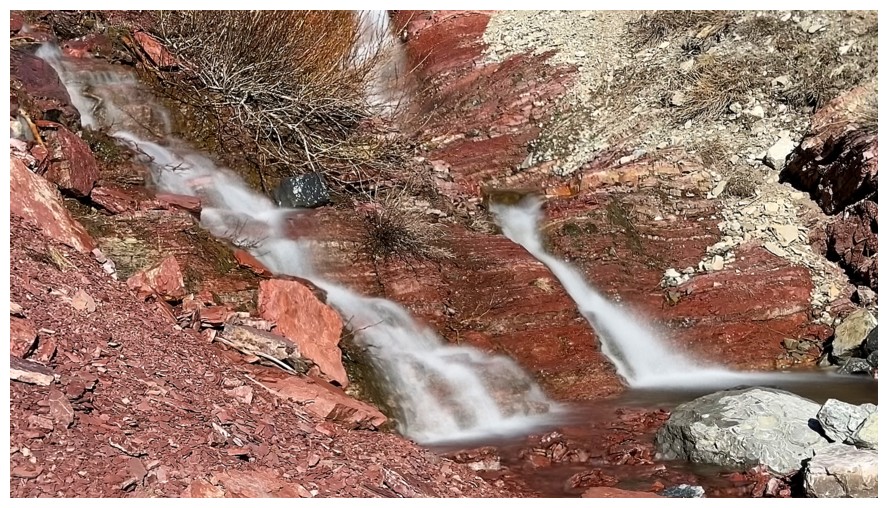
Fire up the long exposure feature on my phone
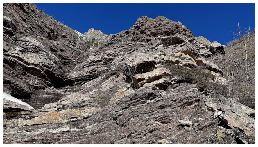
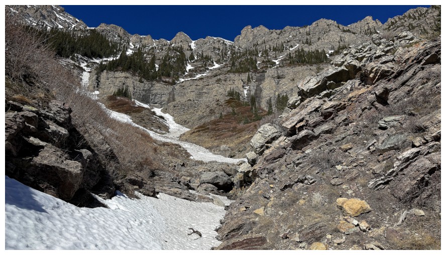
Interesting terrain above the right side of the creek that is begging exploration but will have to wait for another day
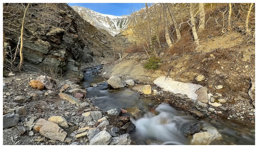
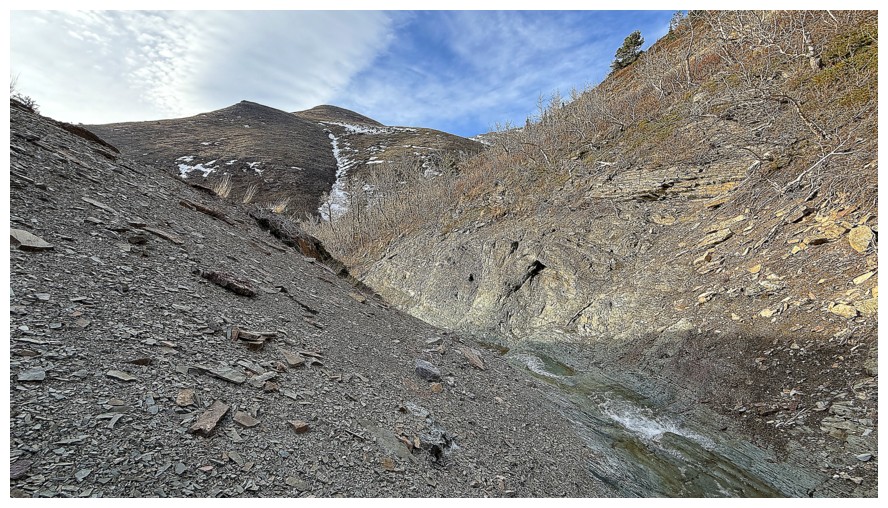
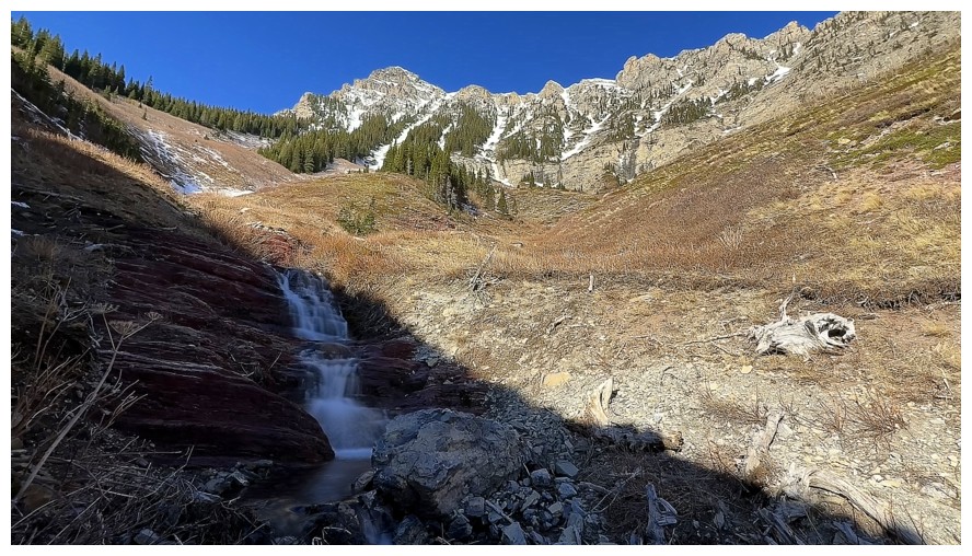
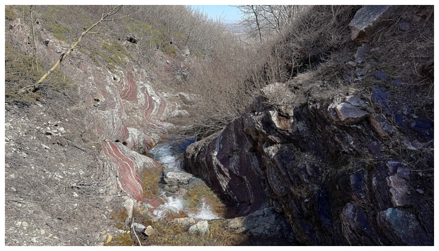
The terrain is starting to look a little more canyon-like ahead
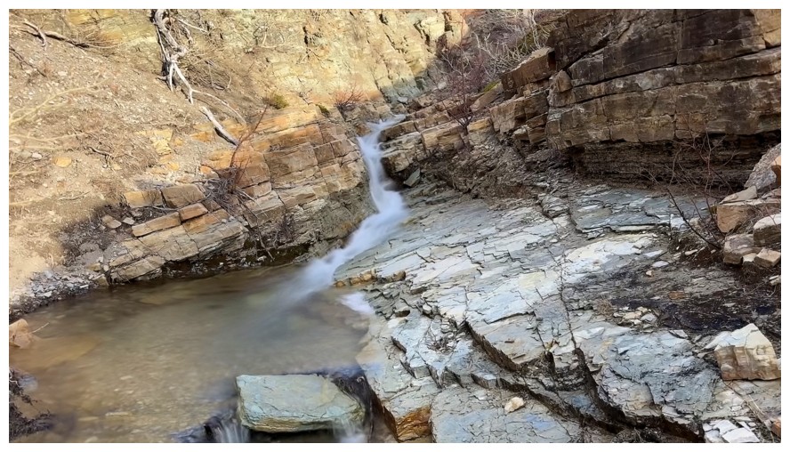
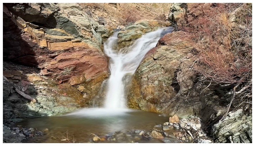
That's more like it
Looking down the first waterfall/cascade
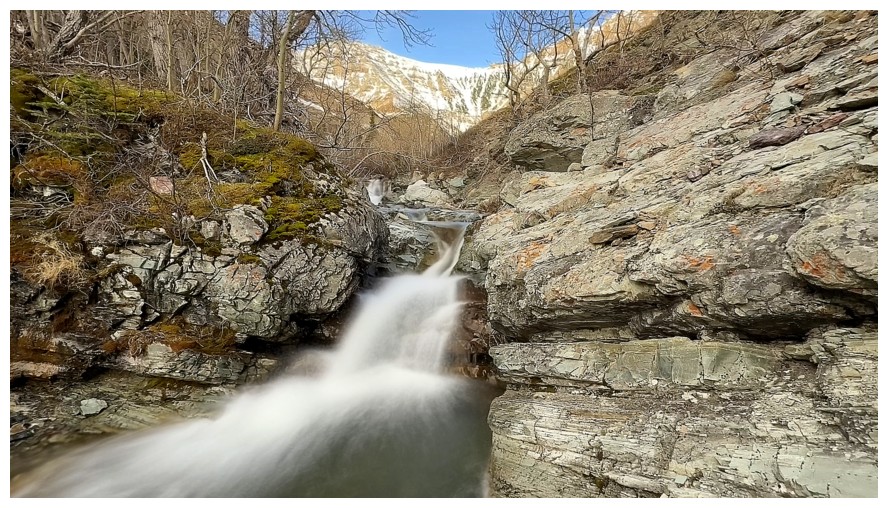

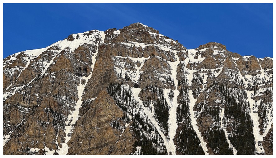
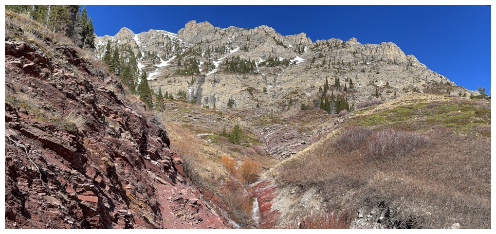
There will be many photos of Roche's beautiful east face
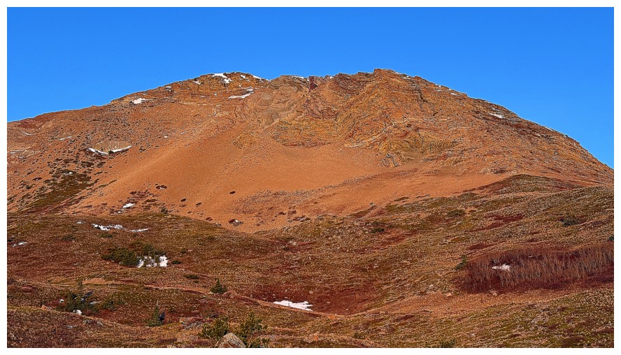
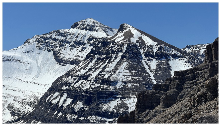
Mount Yarrow
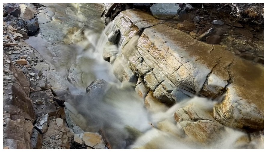
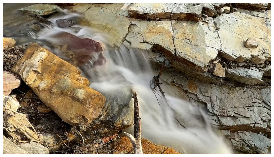
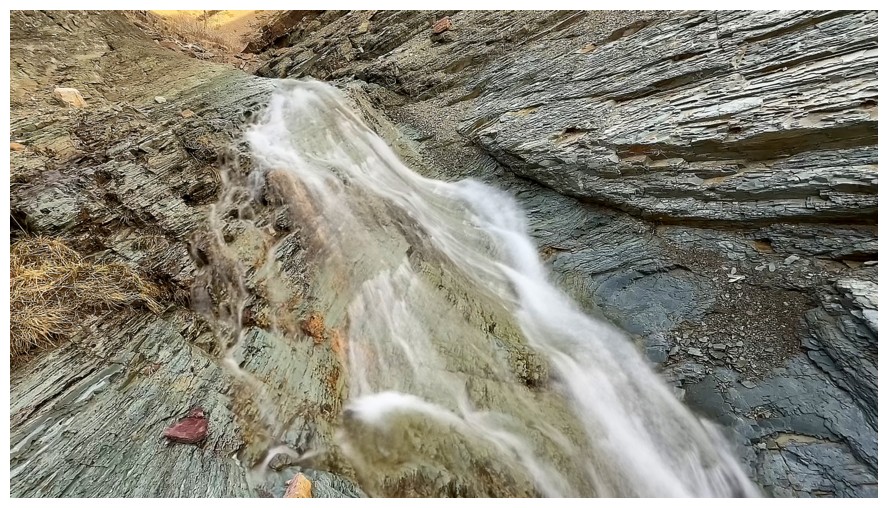
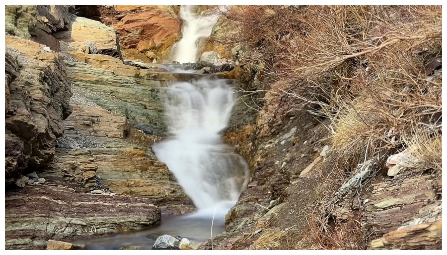
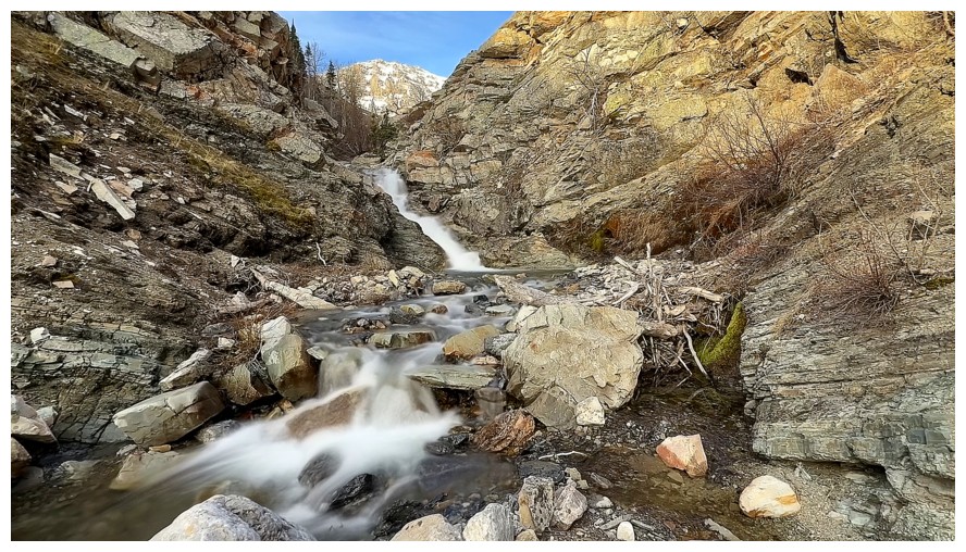
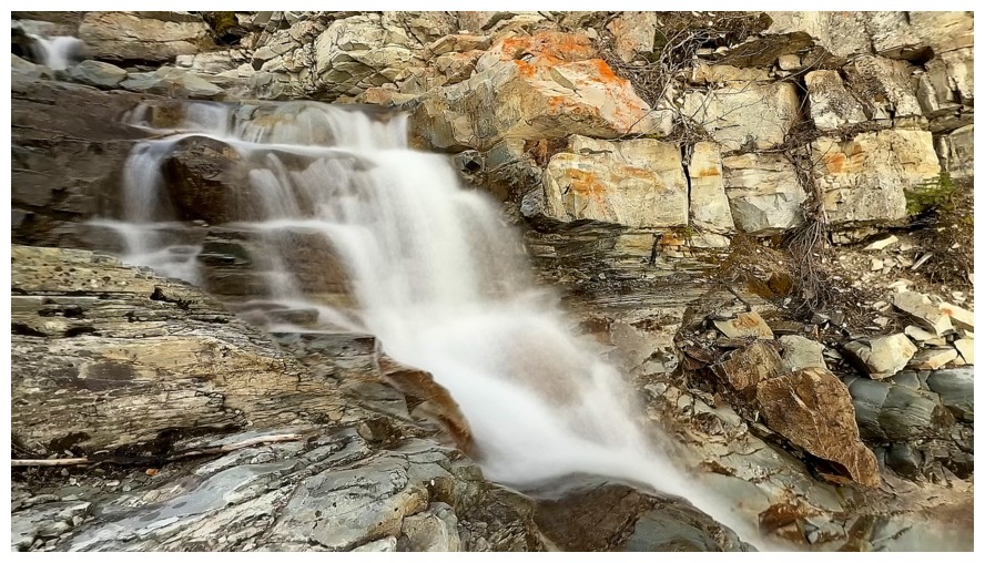
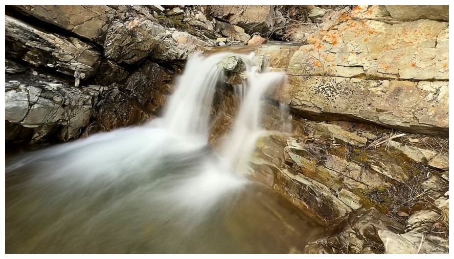
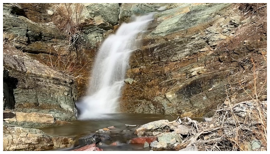
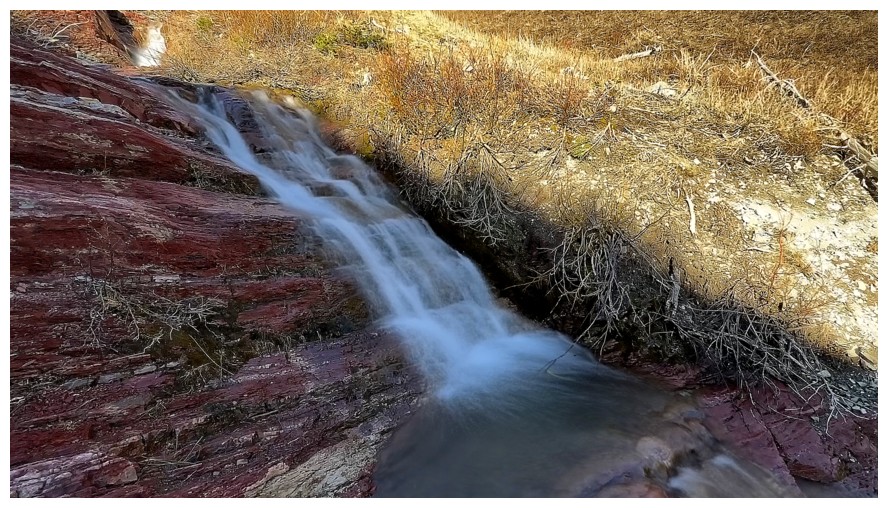
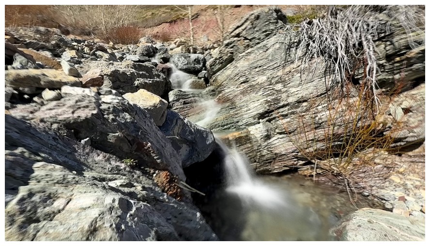
My favourite waterfall of the day
Snuck up it on the right side
Rock at the top close-up
Looking down the waterfall
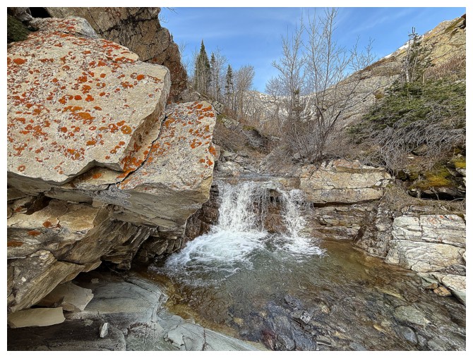
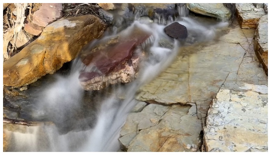
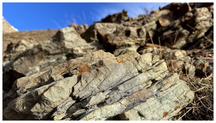
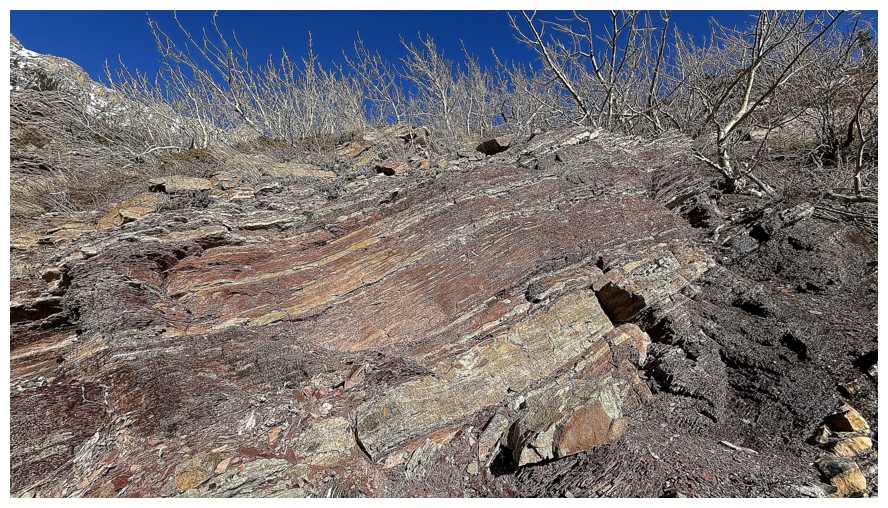
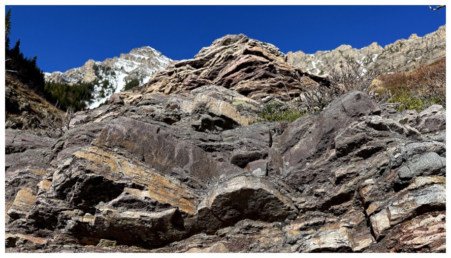
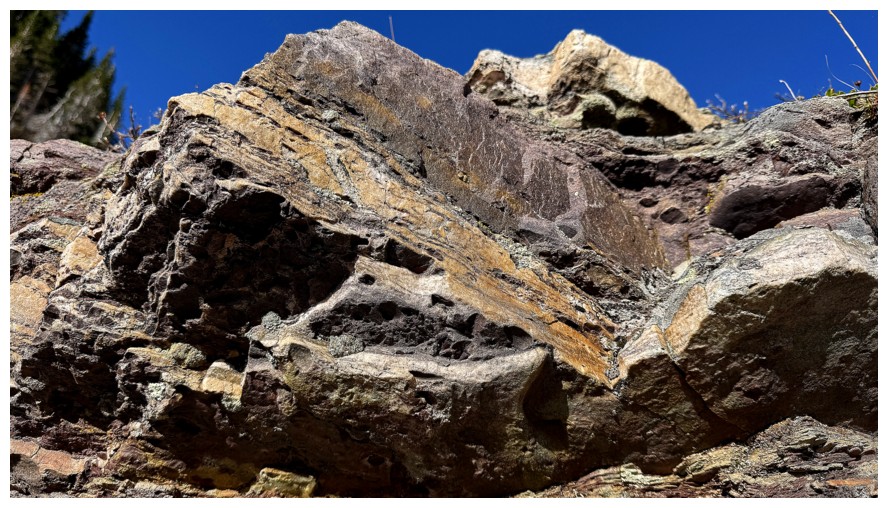
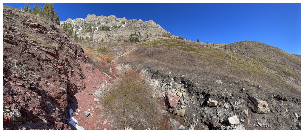
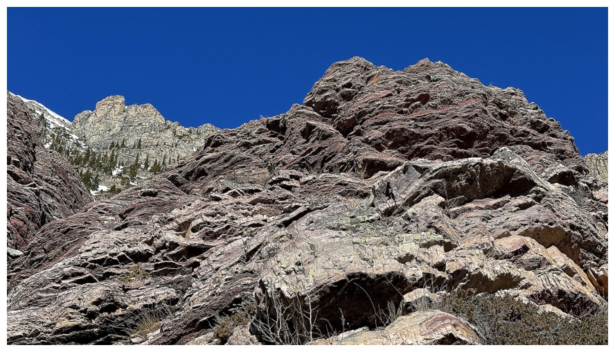
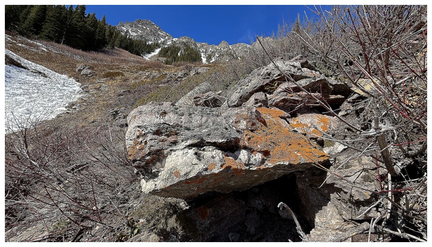
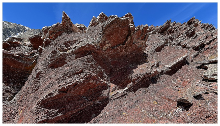
The huge slab of red argillite-topped rock at the left was very cool
The creek starts wandering in the direction of Roche
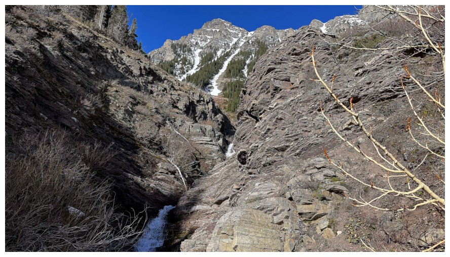
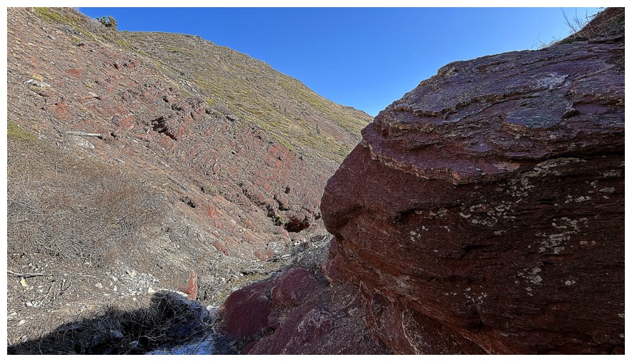
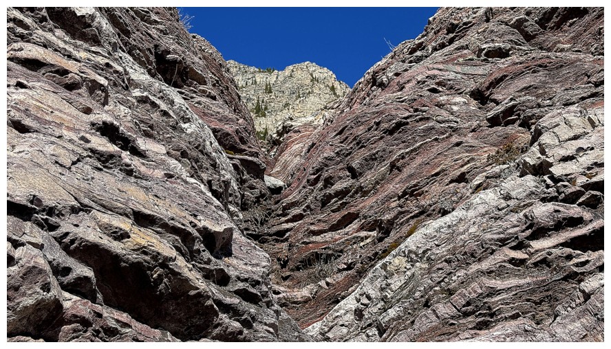
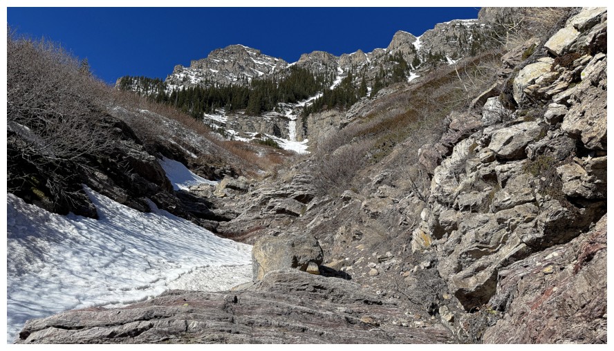
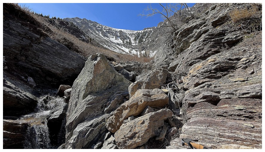
Definitely a canyon ahead. I had to bypass it on the right side.
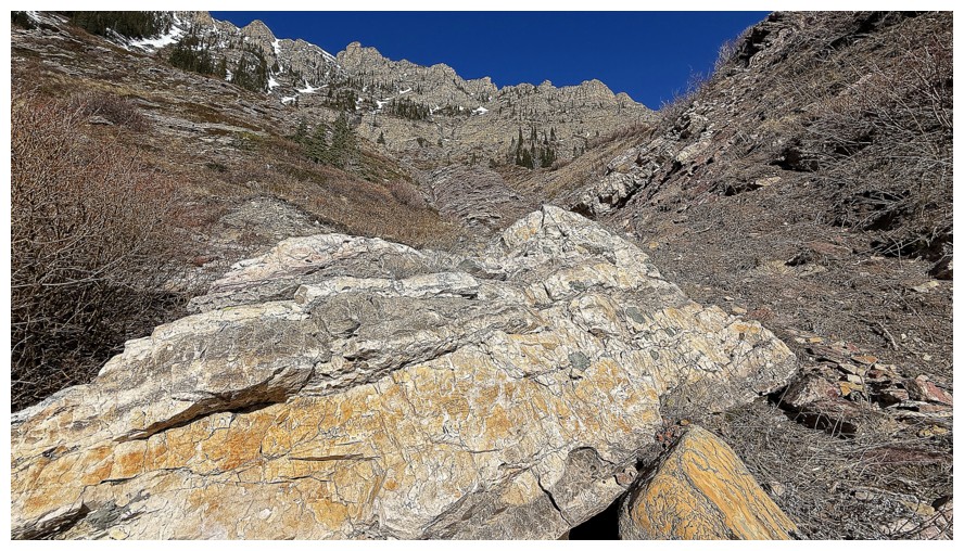
The bypass led to some awesome rock
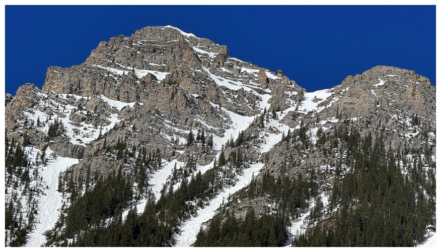
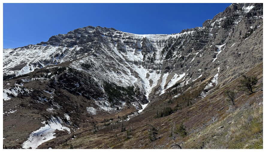
Another close-up of Roche's summit and the upper east ridge
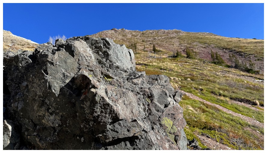
Looks like the igneous rock has made it down this far
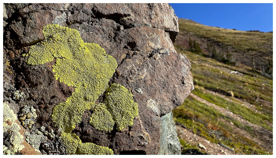
And some yellow lichen with it
Looking back down the creek
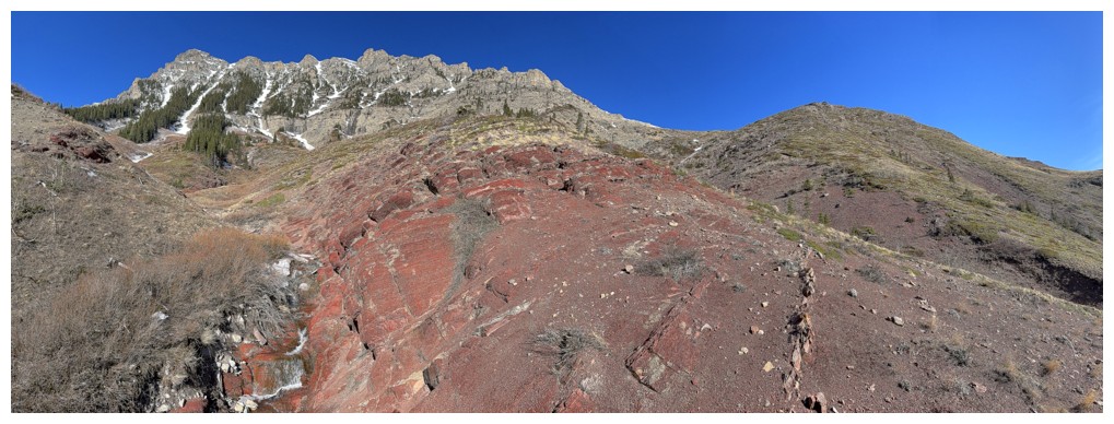
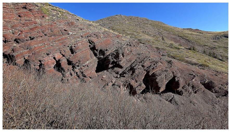
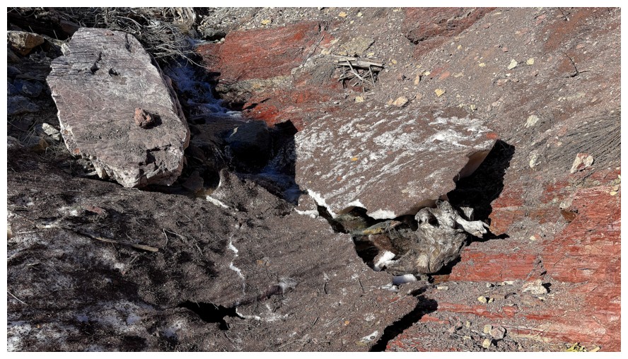
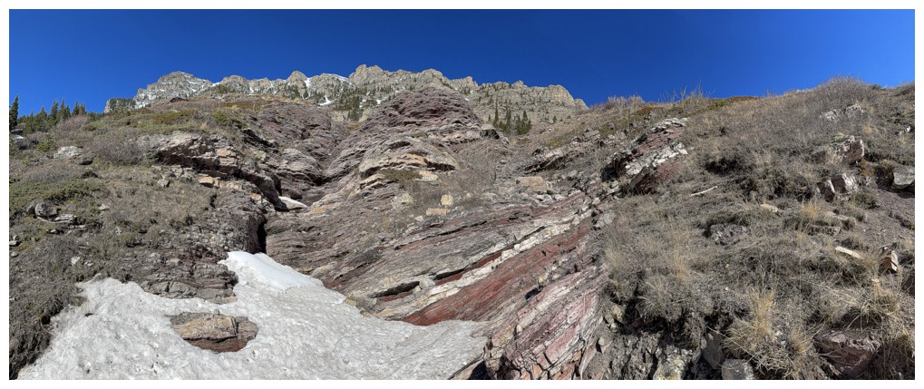
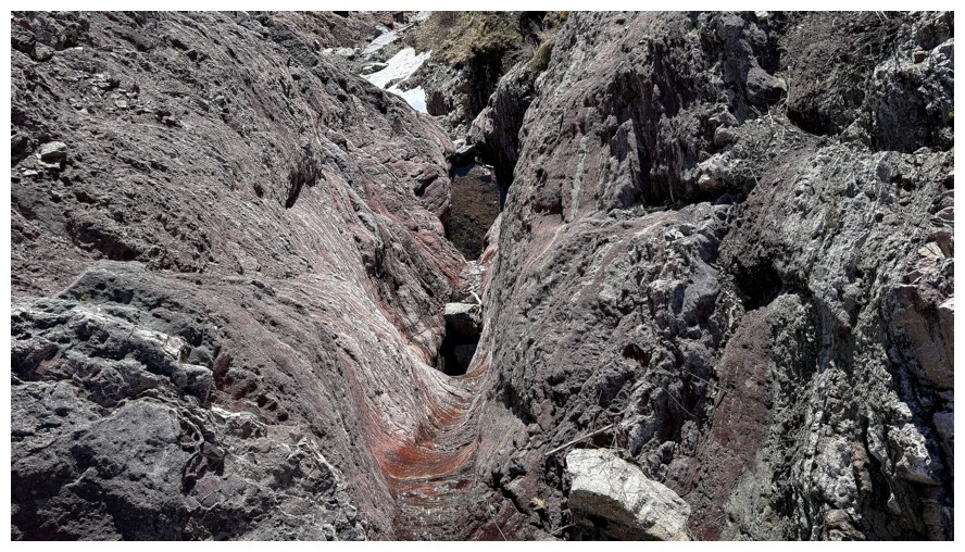
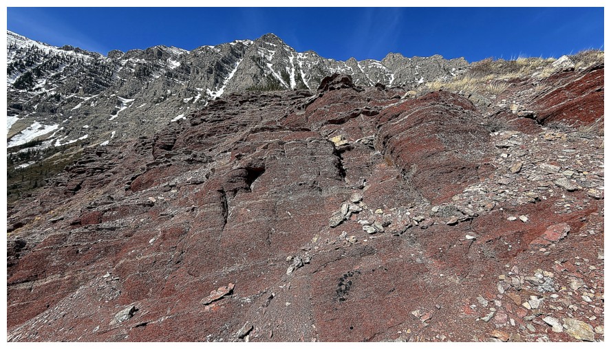
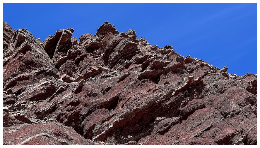
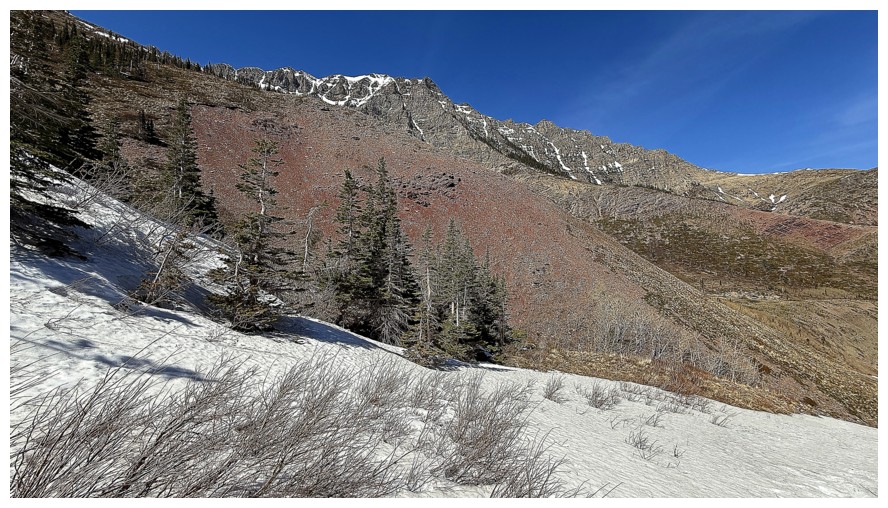
Not surprisingly the red argillite adds all kinds of life and interest to the scene ahead
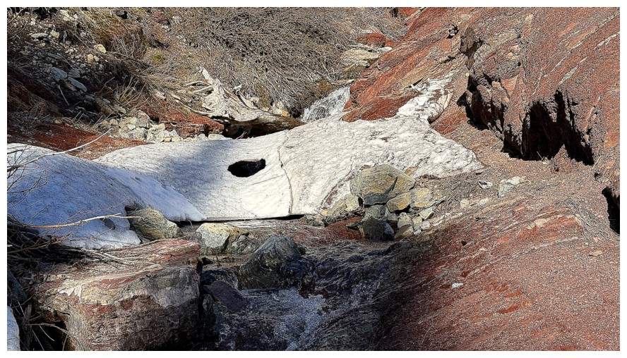
Don't step near that hole in the snow
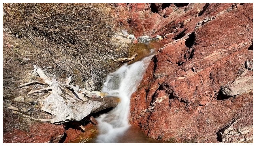
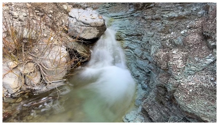
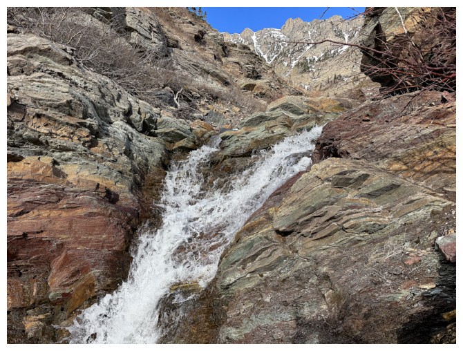
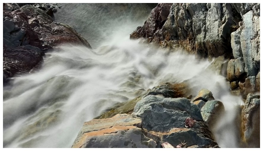
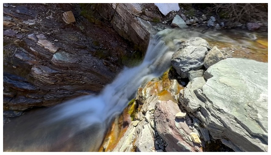
Water flowing down the red argillite is my single great love and weakness in the mountains
No water but it's still cool
With Roche
More dirty snow
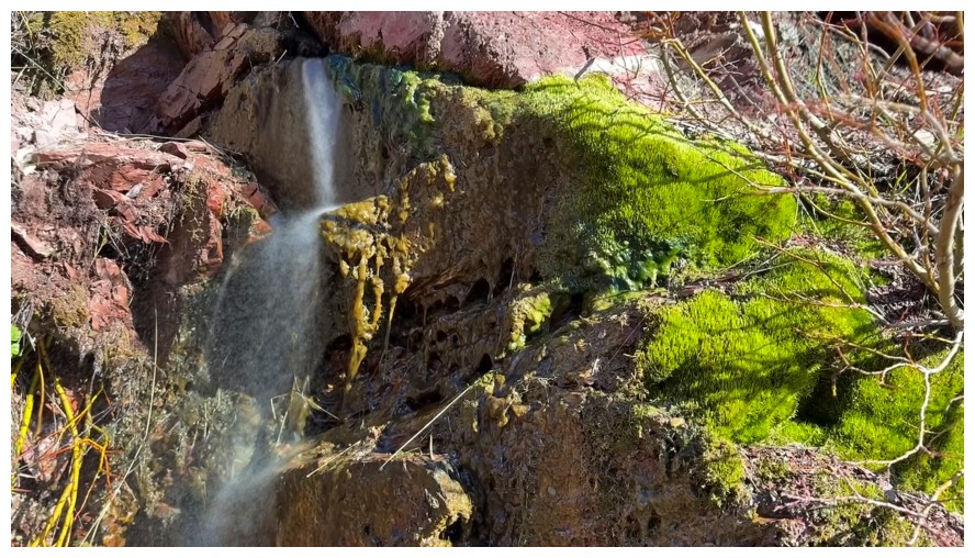
Love the bright green moss too
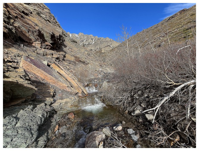
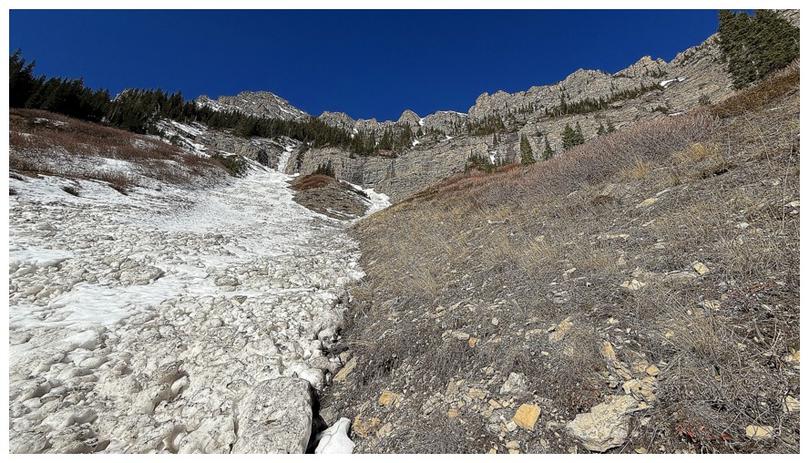
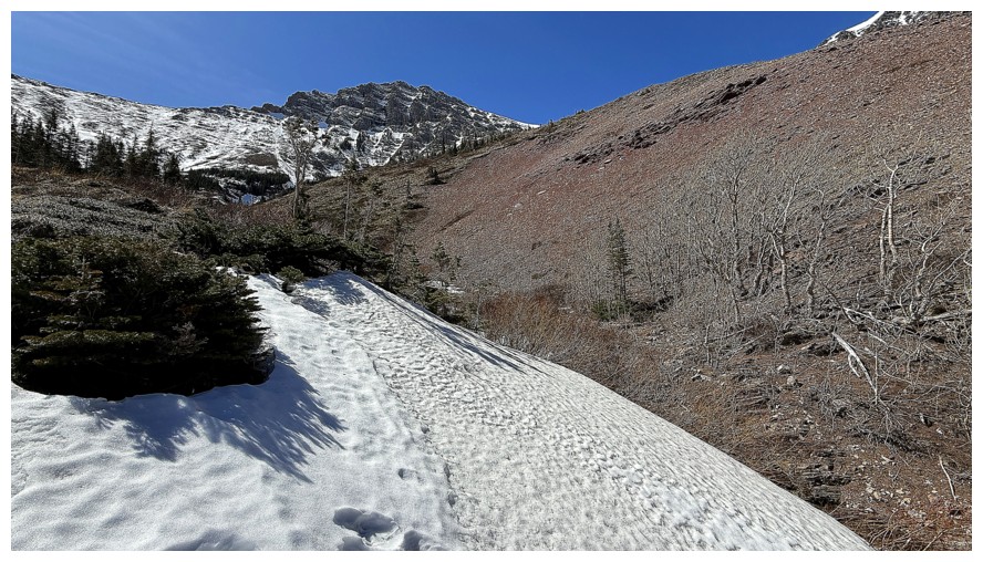
Now following a drainage that goes right up the east face
Where two small creeks meet
Same as above. I'm heading up the one on the right.
Almost as gratifying as the red rock
Took the snowy passage to the left here and it led to some amazing rock but also a dead end
Tried to scramble up the drainage at the left
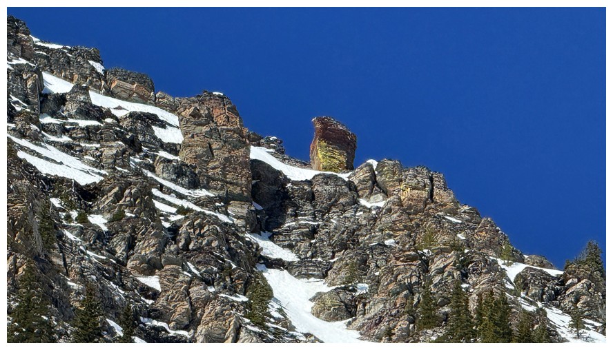
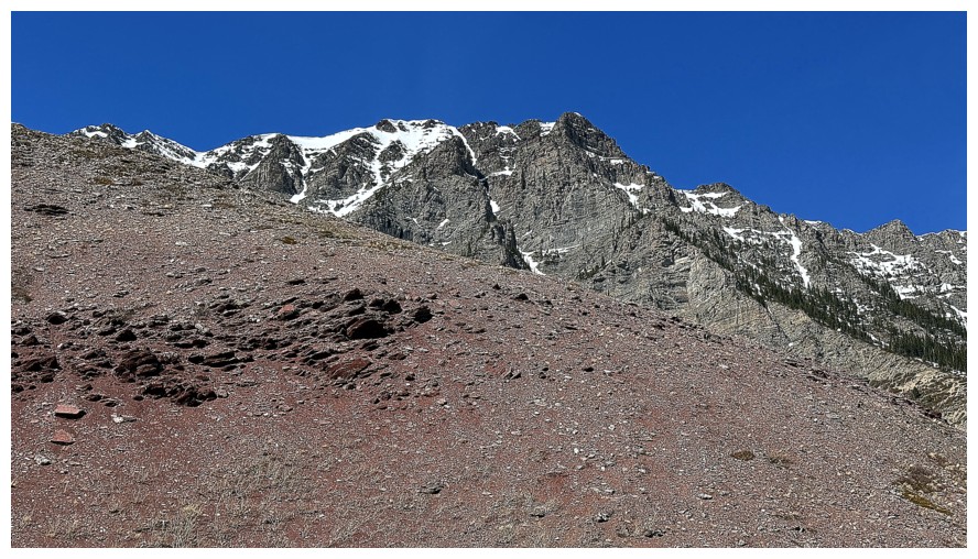
Close-up of a prominent feature on Roche's east face
Looks like a scramble route but there's a section that would have forced me to downclimb
Above that section and looking down the smooth rock that I wouldn't have been able to scramble up
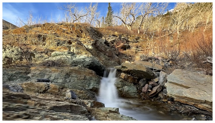
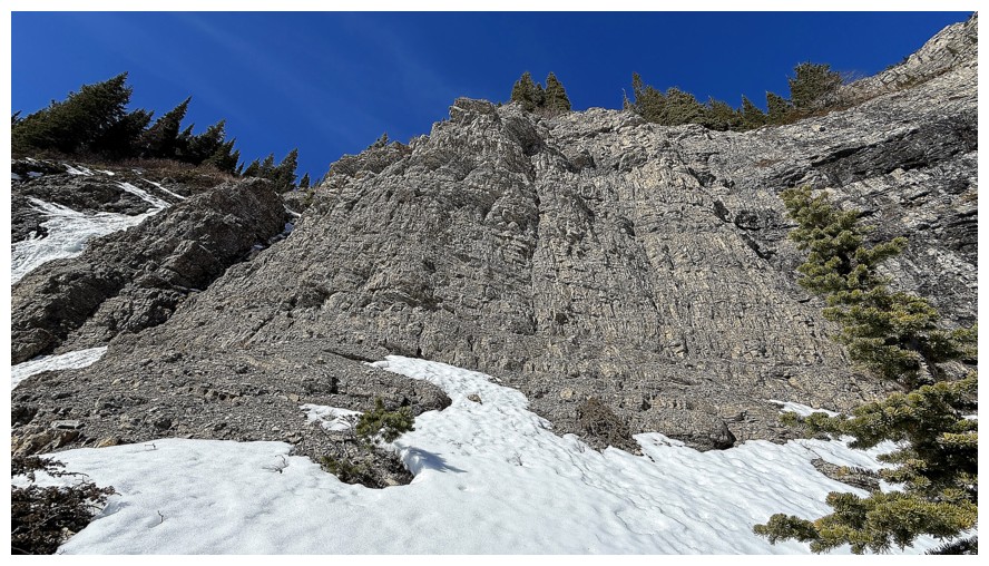
Easier (and super fun) terrain ahead
And great rock to the right
Again looking back
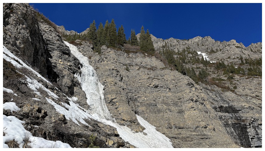
I decided, at this point, to make the frozen waterfall in the distance my objective
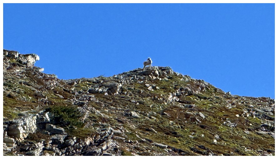
Also distant was this sheep
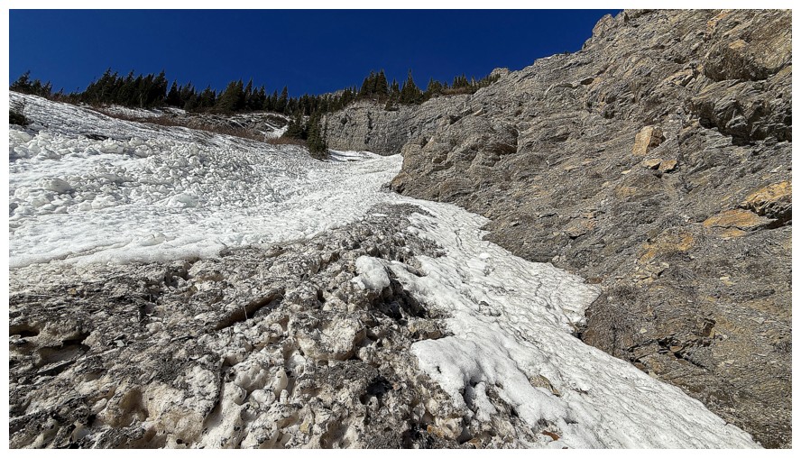
No more water scenery for a while, as the drainage is snow-filled
Close-up of the new objective
Travel up the centre of the snow slope was not very aesthetic due to the uneven, hard snow
The side wasn't aesthetic either, but the footing was better
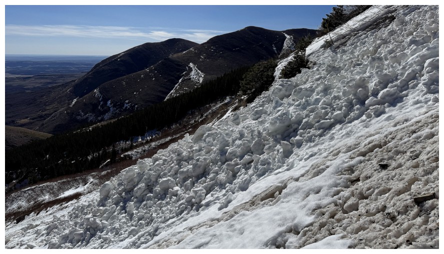
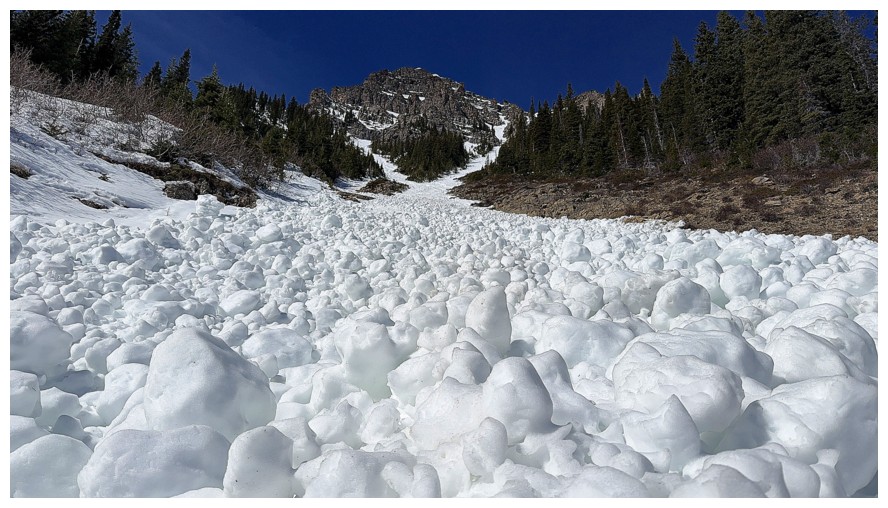
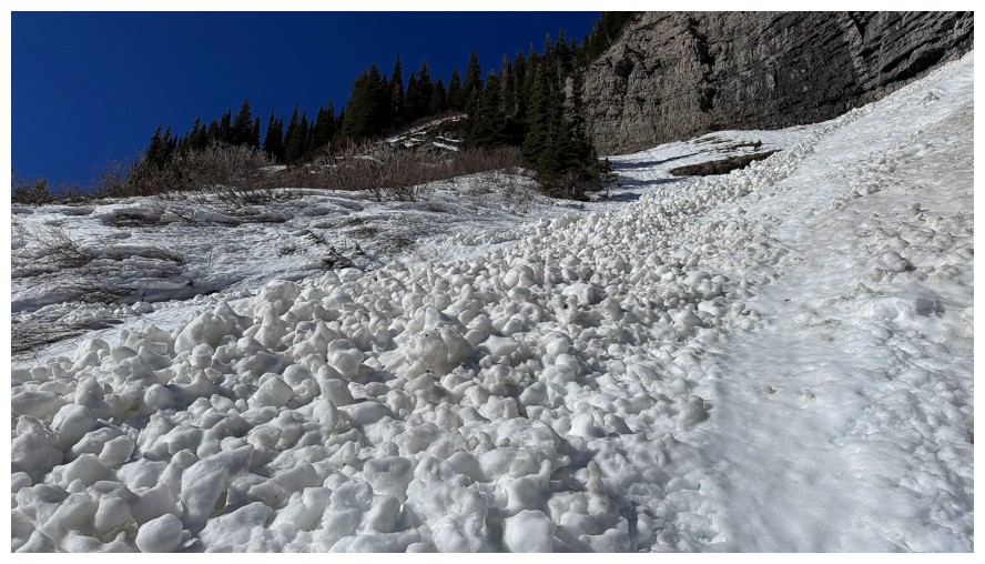
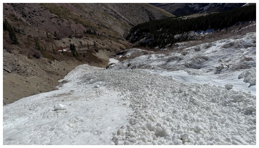
Avalanche debris
Fresh avi debris over old, dirty snow
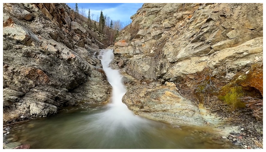
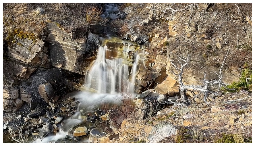
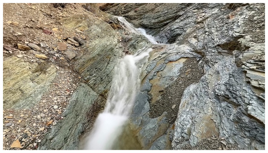
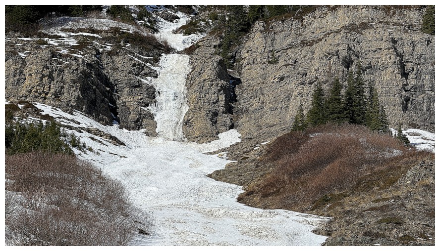
Veered to the right side here to first visit the thawed out waterfall near the left
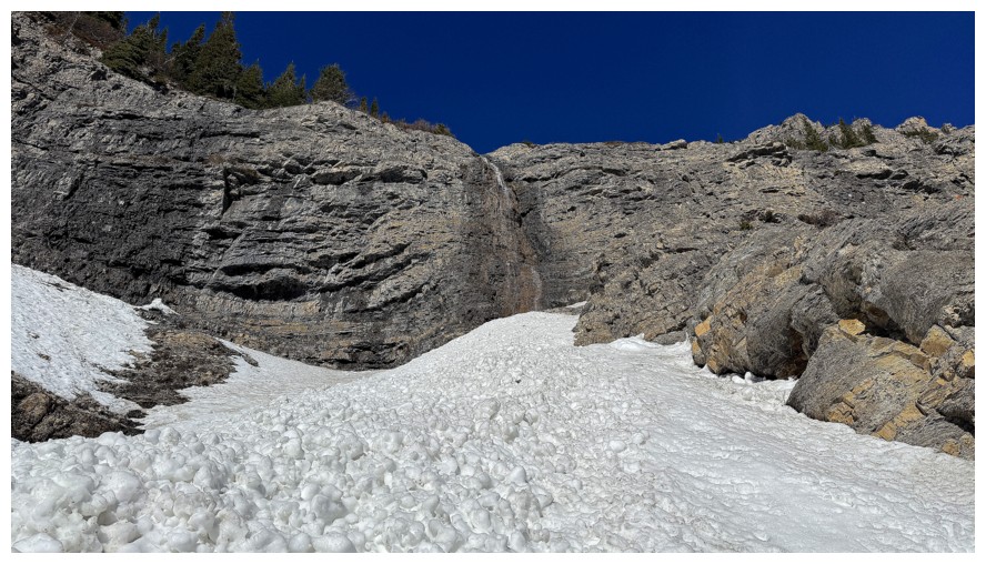
Took a break on a rock ledge here. There wasn't much water flowing down this one.
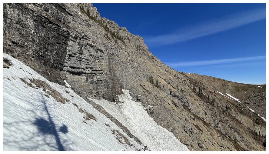
Traversing over to the frozen waterfall and looking back to the thawed one
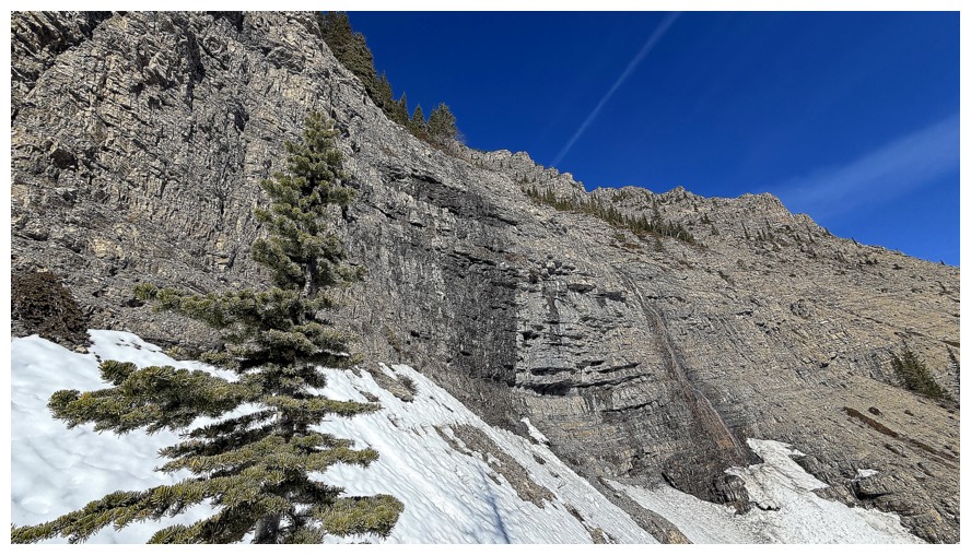
Steep rock above
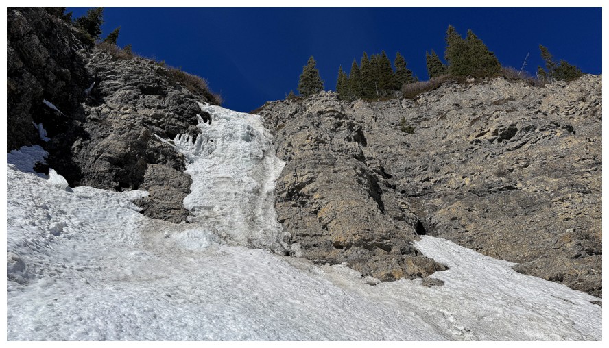
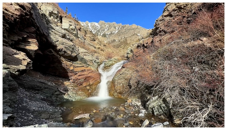
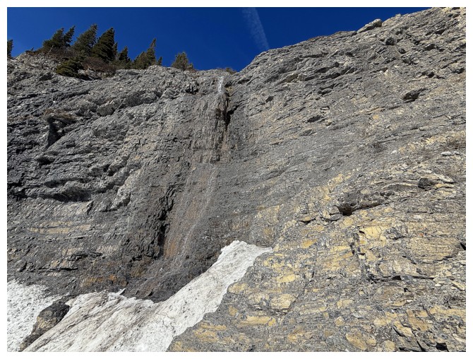
The frozen one was quite impressive
Leaving it
Having decided to try to reach the summit of Yarrow, I suddenly became
obsessed with reaching that small, clear plateau in the centre
Closer look at some of Yarrow Ridge and the plateau at the mid left
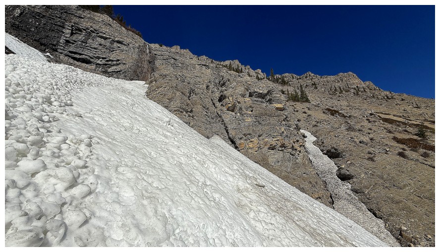
Descended a different gully with even more avalanche debris
Reminiscing about a scary (and inadvisable) route I took on Roche to try to get to this amazing lichen-covered pinnacle
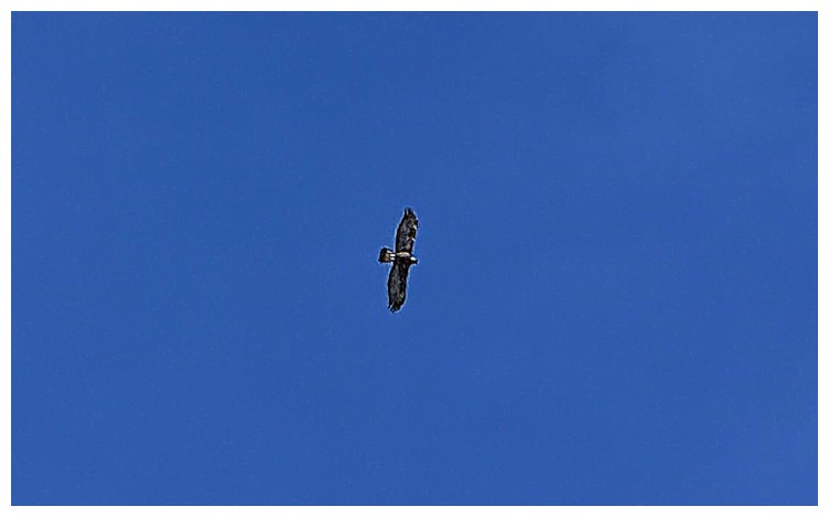
Big bird
Still descending the gully. I made several attempts to cut to the right
to reach that plateau, but was repelled by thick growths of alders.
Looking back by the snow gully (left) from one of those points
Back in the gully
Sometime later, after battling through some intense bush, I arrived at
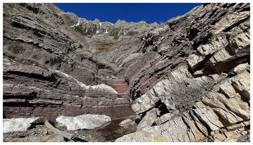
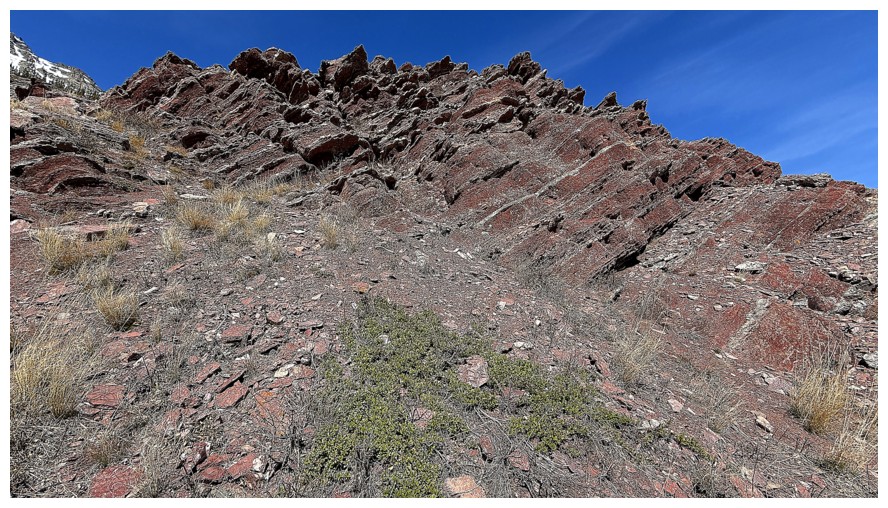
the plateau - fortuitously, right where the band of red argillite sits
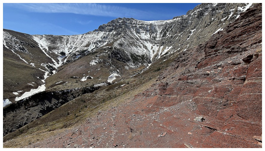
Traversing below the band
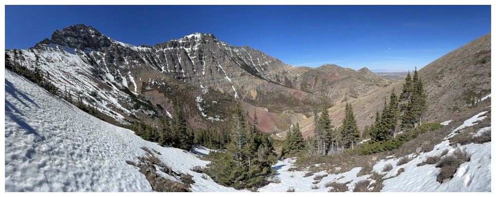
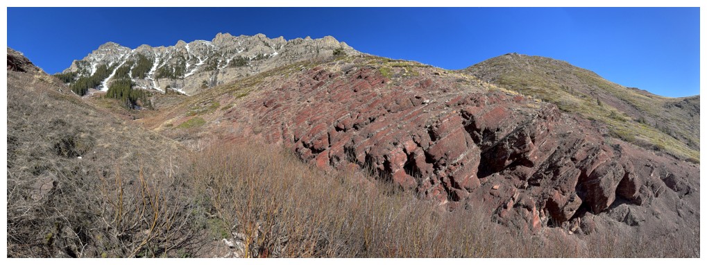
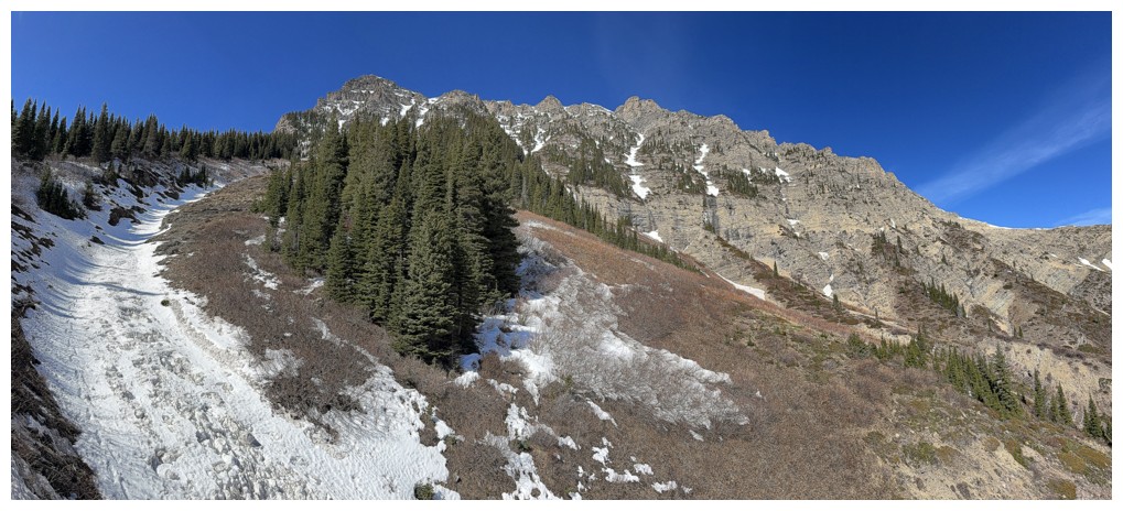
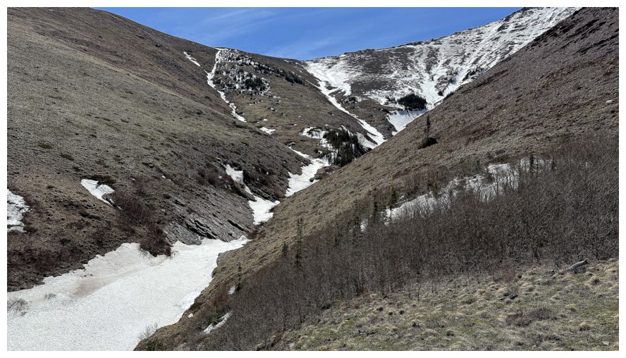
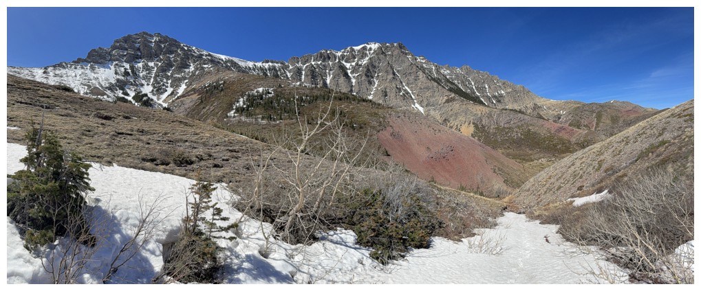
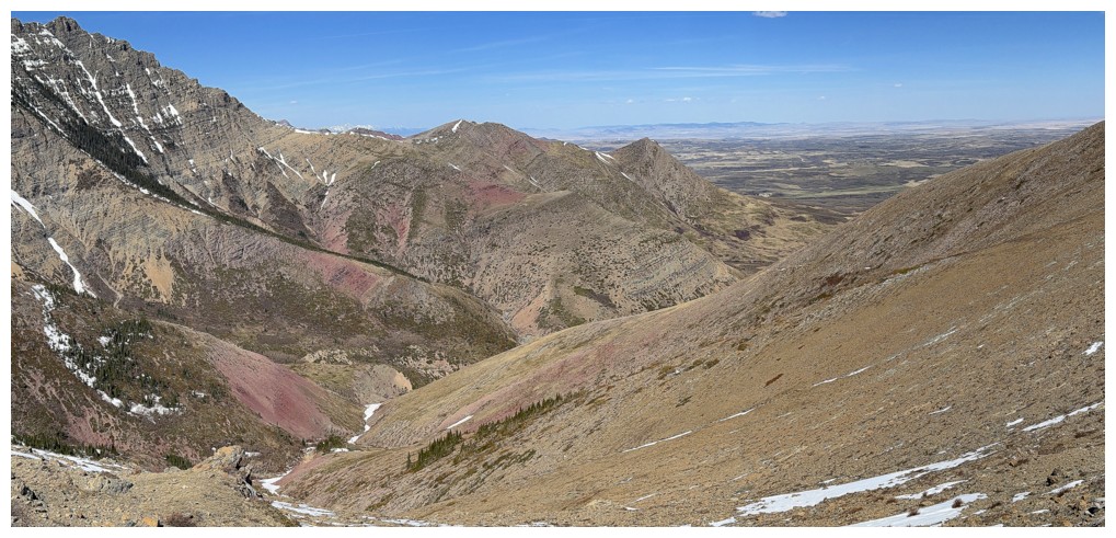
Time of lose more elevation in order to make a stab at Yarrow Ridge. Mount Yarrow at the left.
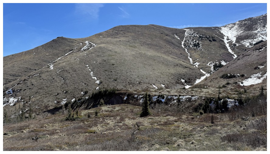
There's Yarrow Ridge. I ended up ascending the snow gully, just right of centre.
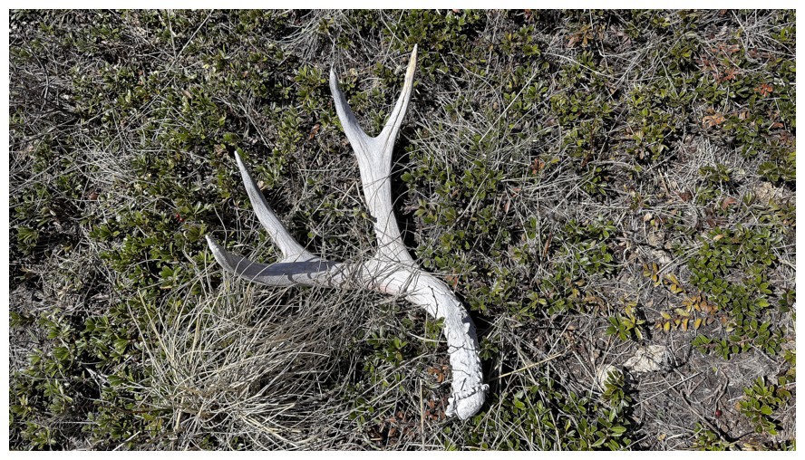
Someone lost something
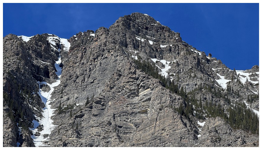
Summit of Roche once again. The snow gully at the left looks doable in the lower sections, but is incredibly steep near the top.
Had to go around the bare trees at the bottom to get to Yarrow's ascent slope
The alternate would have been to descend to the canyon here and then up the other side
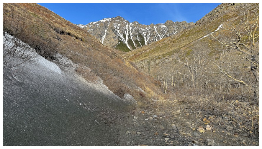
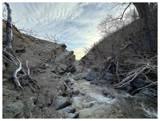
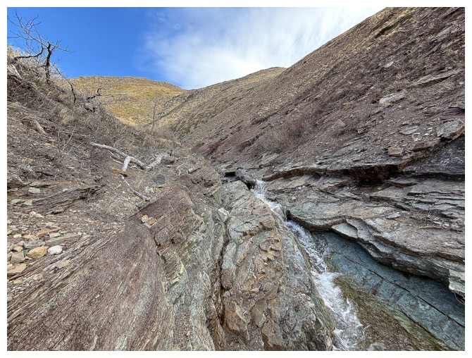
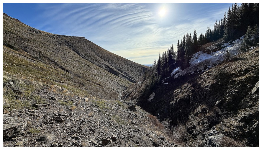
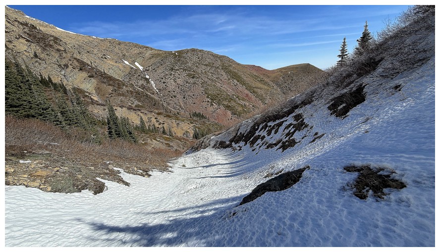
The canyon upstream
Managed to get a few more water shots
Up and over this to get into the ascent drainage
There's a ascent route at the left
In the drainage looking back
Same as above
This time ascending the snow was a treat
Different views over to Roche
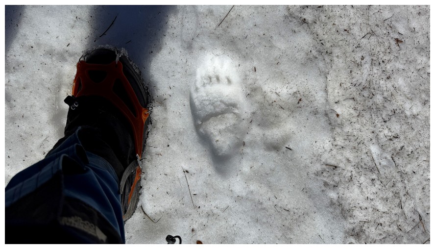
Fresh bear tracks. I imagine they were made earlier in the day.
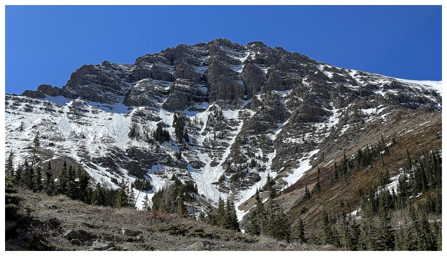
Yarrow's impressive east face
Awesome view behind me now
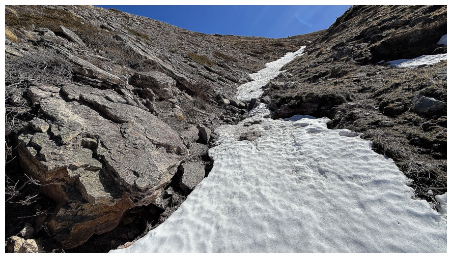
The snow continued almost all the way to the ridge
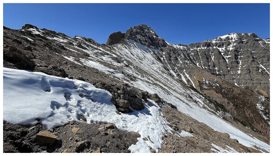
Approaching the ridge
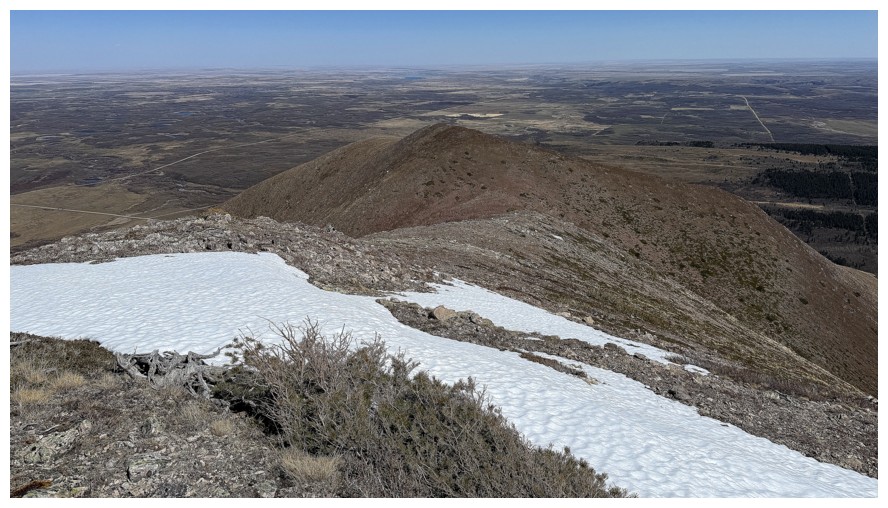
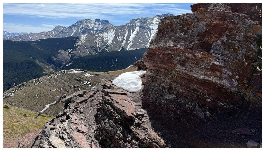
And on it. View to the west and southwest.
West and northwest
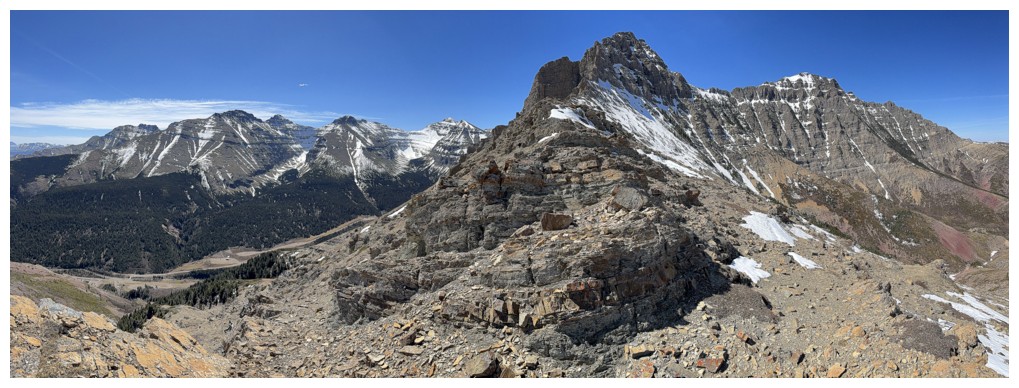
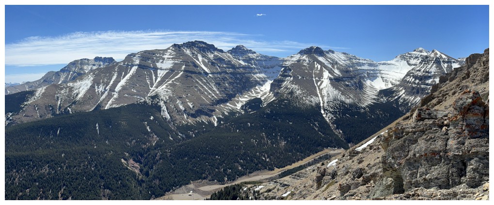
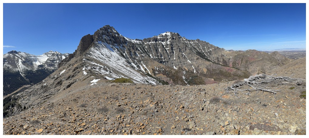
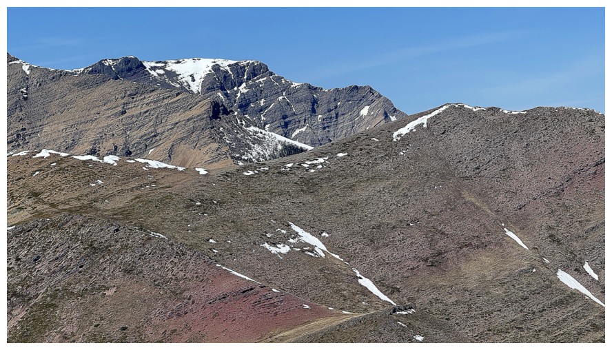
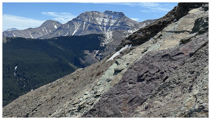
Yarrow and Roche
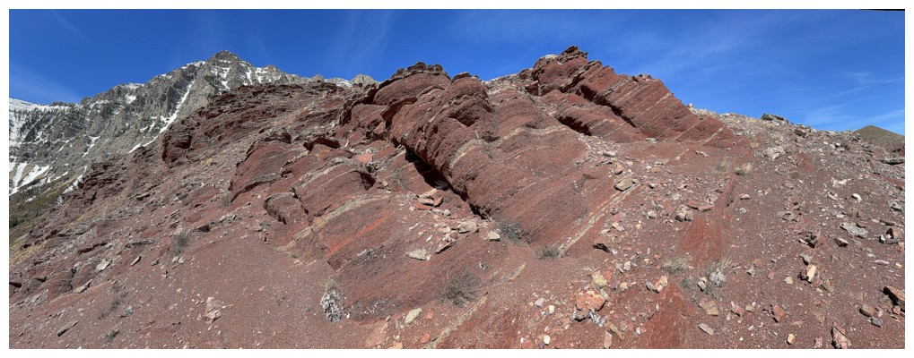
Neat to see where the red argillite band is exposed
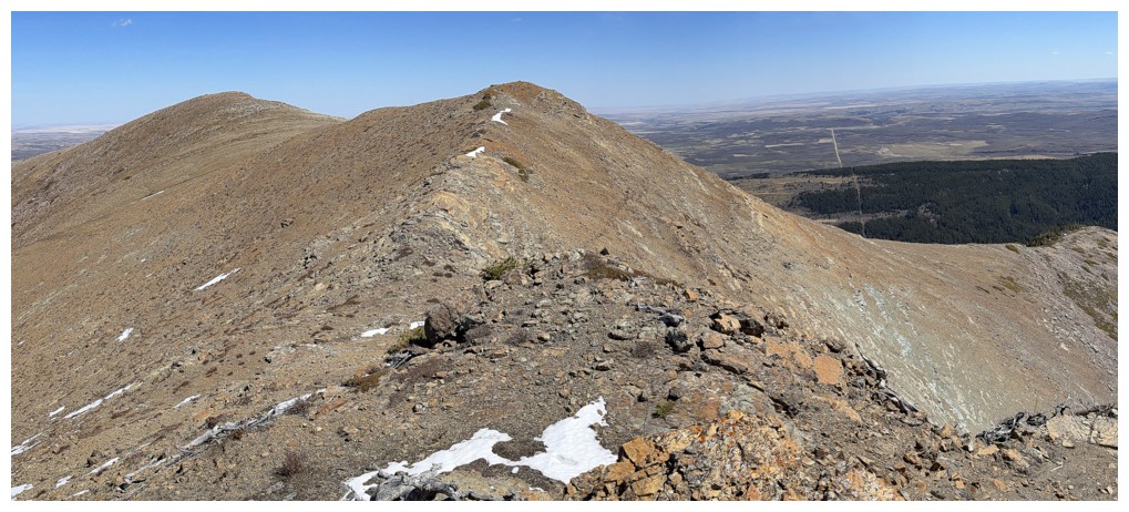
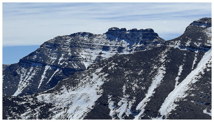
Two of the highpoints of Yarrow Ridge. The one at the left is the highest point of the ridge.
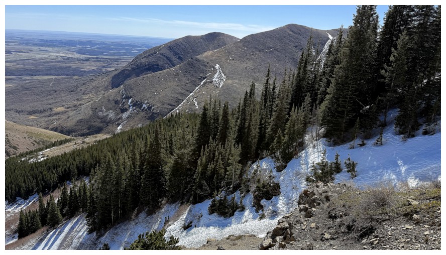
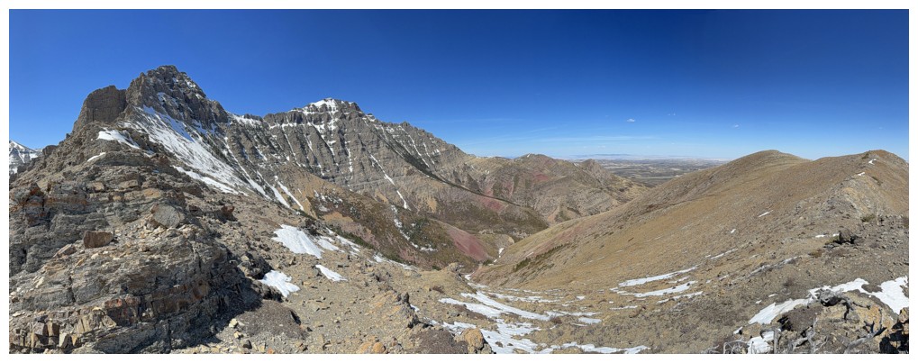
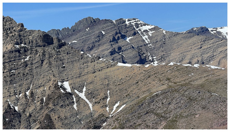
A host of familiar peaks to the southwest, including...
Glendowan
Cloudowan Northeast and Cloudowan
Dungarvan
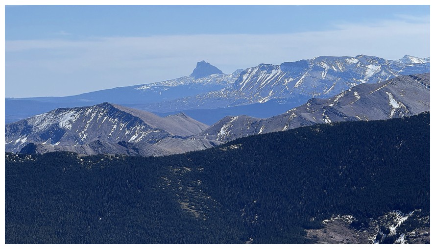
Chief Mountain
Cloudy Ridge Junior and Cloudy Ridge
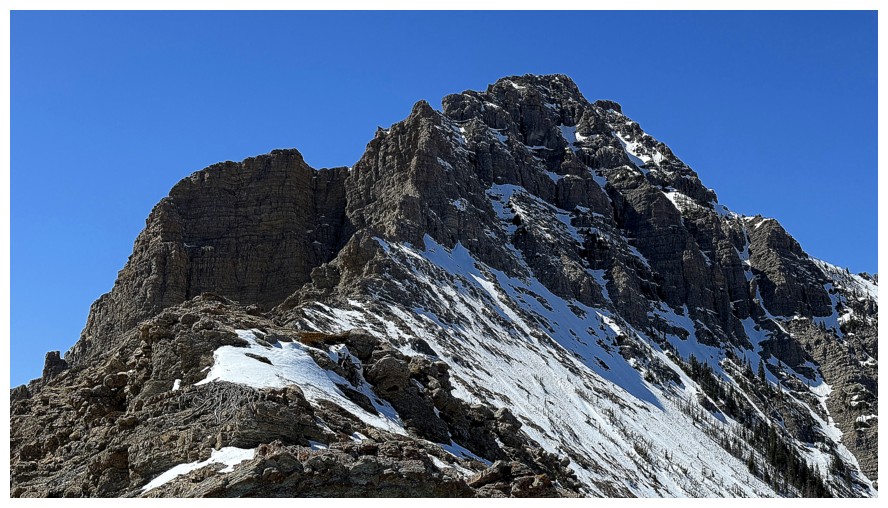
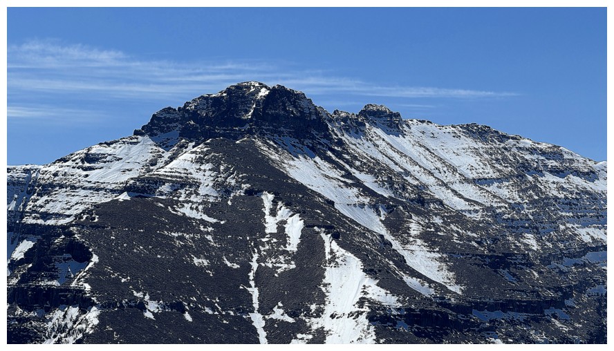
Close-up of Mount Yarrow. No scramble route up the east face, but there's is a reported climbing route that goes at 5.6.
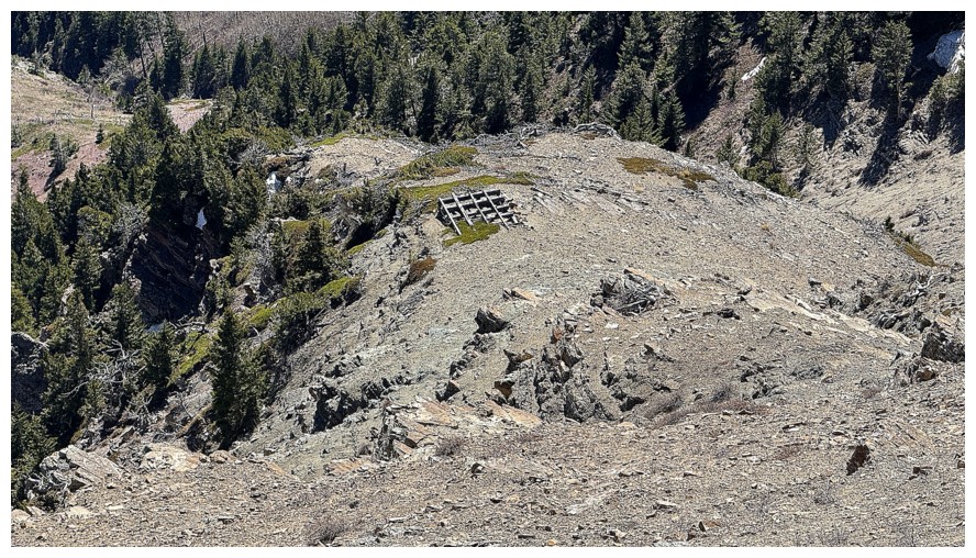
Something man-made below
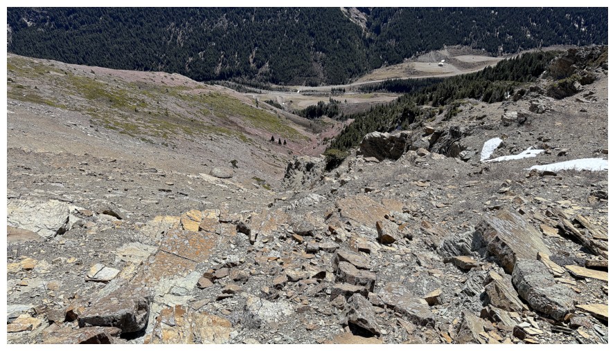
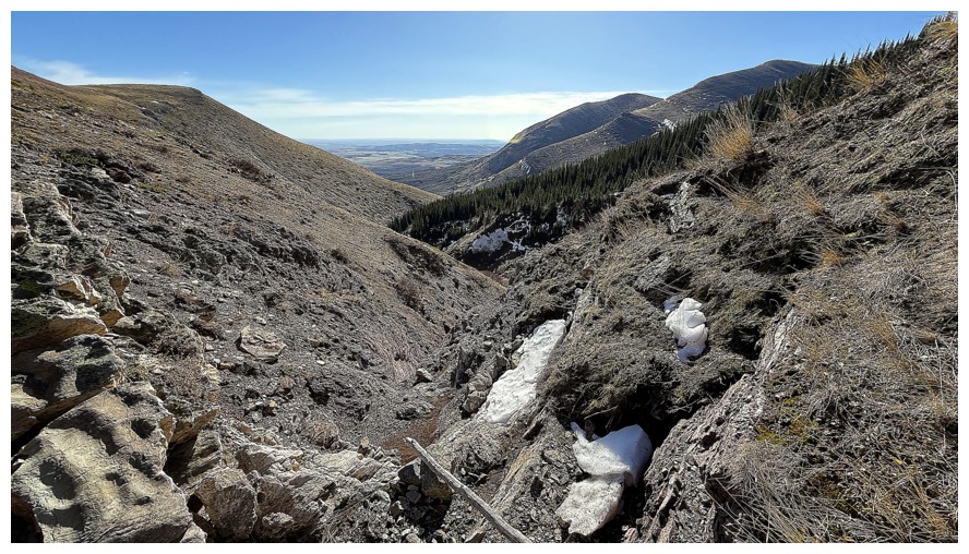
Looking down an alternate descent route I took of Yarrow Ridge in 2025
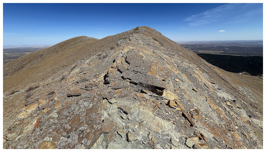
Almost at the first highpoint
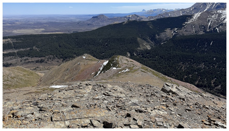
Another alternate (and really cool) descent route
View from the highpoint before I descend
Descending
Part of the east die of Loaf - Bakery and Icing
Drywood Mountain
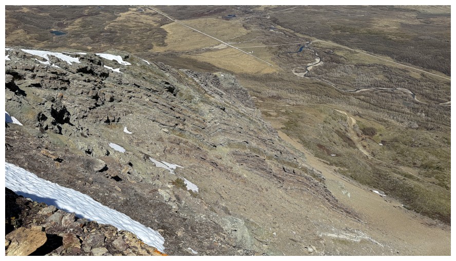
My vehicle is at the end of the road in the upper centre
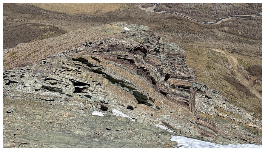
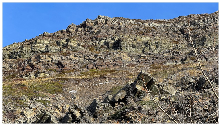
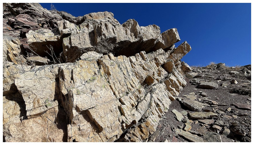
The exposed rock on the right side of the northeast ridge is incredible
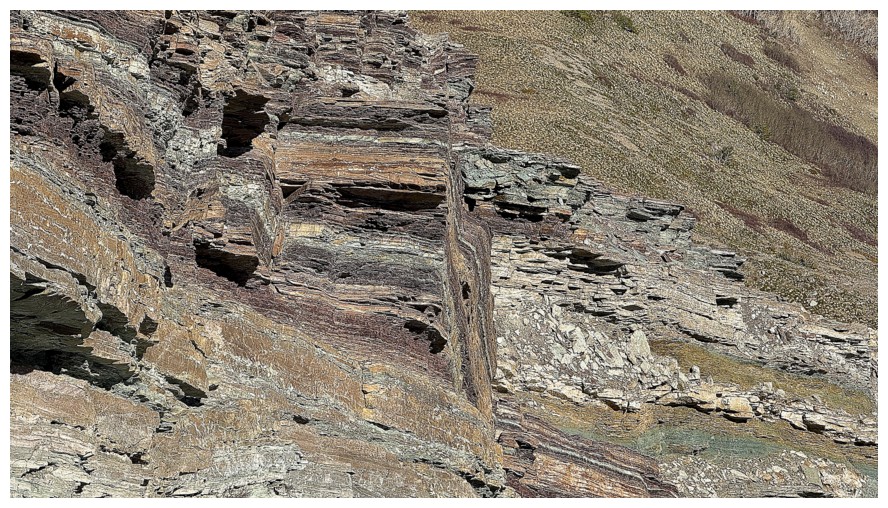
Close-up
Rogan (left) and Dungarvan
Back down at the northeast end of Yarrow Ridge
Back at the start. Totally awesome trip!
The End
LOG