Woody
VII
January 31, 2026
Mountain height: 2037 m
Elevation gain: 550 m
Round-trip
time: 5:20
Solo scramble.
A 30-day
absence from the mountains prompted me to pick a short and easy objective and
this outlier of Drywood Mountain fit the bill. While I had taken several
different routes up the peak over the years, there were still many more ways up
to explore. 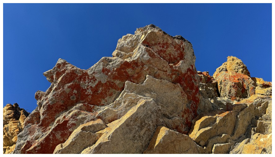 Naturally, I picked as my starting point the trailhead with the
highest elevation – this trip could potentially involve lots of ups and downs and
I wanted to minimize the overall elevation gain.
Naturally, I picked as my starting point the trailhead with the
highest elevation – this trip could potentially involve lots of ups and downs and
I wanted to minimize the overall elevation gain.
Following a
familiar route for the first part of the trip, I couldn’t resist a visit to one
of coolest rock outcrops in the Southern Alberta. When the Sun is shining on
this rock and blue skies reside above, it’s impossible not to be awed and somewhat smitten! An extended
stay here was a foreshadowing of things to come.
What followed
turned into a tour-de-force of remarkable rock scenery, that had me running
(really plodding, given my less than peak physical condition) all over the
southeast side of the outlier. I turned upslope earlier than expected but
resistance was futile – you cannot move an inch on this peak without seeing
something that drops your jaw.
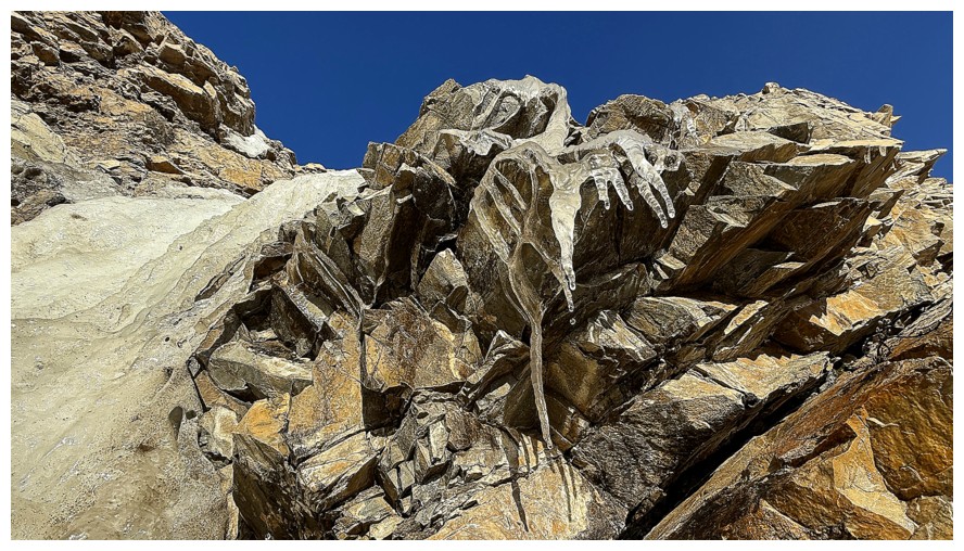
At one point, I
did get myself into a little hot water (more accurately frozen water) ascending alongside a beautiful ribbon
of ice. The terrain appeared to offer an easy route up after making a couple of
tricky moves. 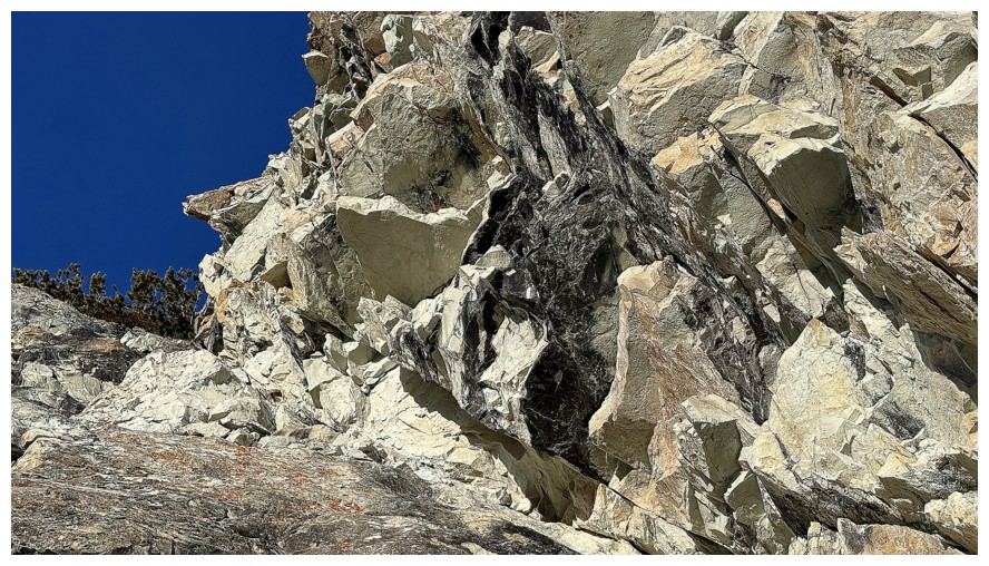 Such
was not the case, and I ended up being temporarily stranded
on an exposed ledge, with a sheet of near vertical ice barring
progress. Getting passed the ice only required two steps, however it
took me about 10
minutes to chop footholds into the ice with the adze of my ice axe –
another
reminder to never leave your axe at home!
Such
was not the case, and I ended up being temporarily stranded
on an exposed ledge, with a sheet of near vertical ice barring
progress. Getting passed the ice only required two steps, however it
took me about 10
minutes to chop footholds into the ice with the adze of my ice axe –
another
reminder to never leave your axe at home!
Quite relieved
to be above the ice, I resumed travel, again amazed by the variety of rock.
Upon reaching the ridge, I decided to leave the ridge. Having ascended it
several times, for something different I would traverse below it. Not
surprisingly, this decision was based on an immense section of red argillite
that lay before me.
The argillite
did not disappoint (does it ever?!), definitely extending the time required to
reach the first highpoint. As forecast, the weather was starting to deteriorate
a little at this point. I didn’t linger at any of the highpoints and settled
for returning via the scenic northeast ridge.
Seven ascents
of this gem of an outlier and there is still much terrain to explore. Woody
VIII is inevitable!
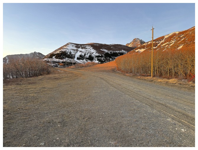
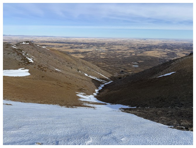
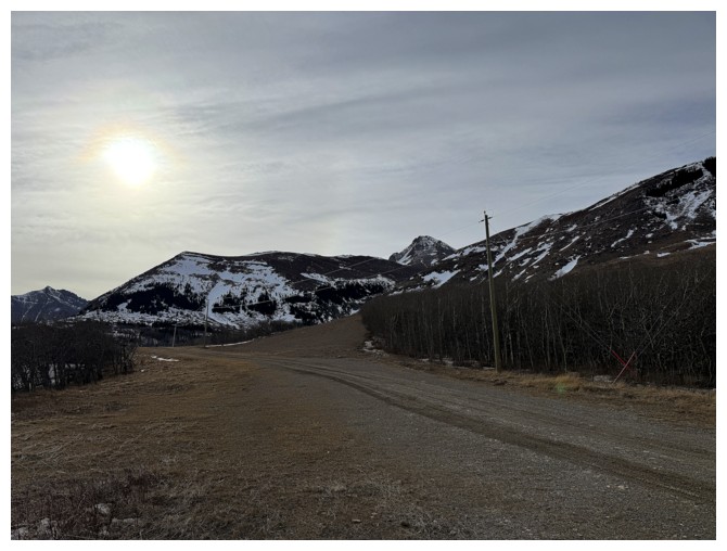
Hiking the gas road to the start of the ascent route

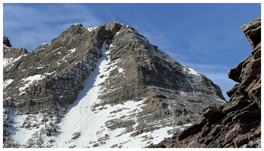
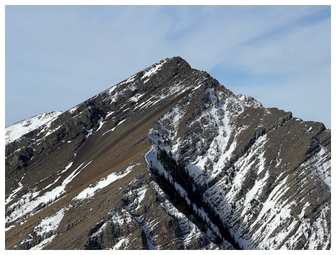
The Knot (part of the northeast ridge of Drywood Mountain) is a worthwhile objective in itself
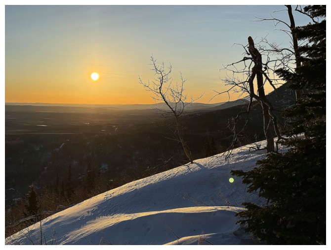
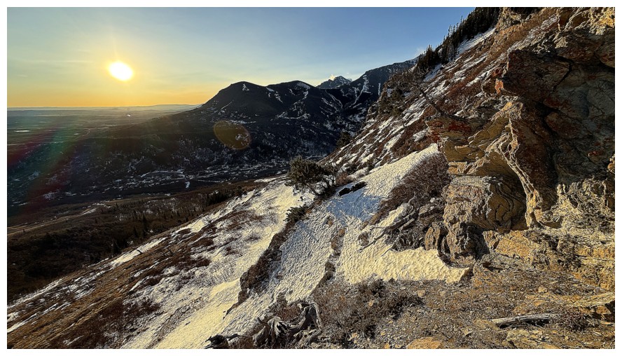
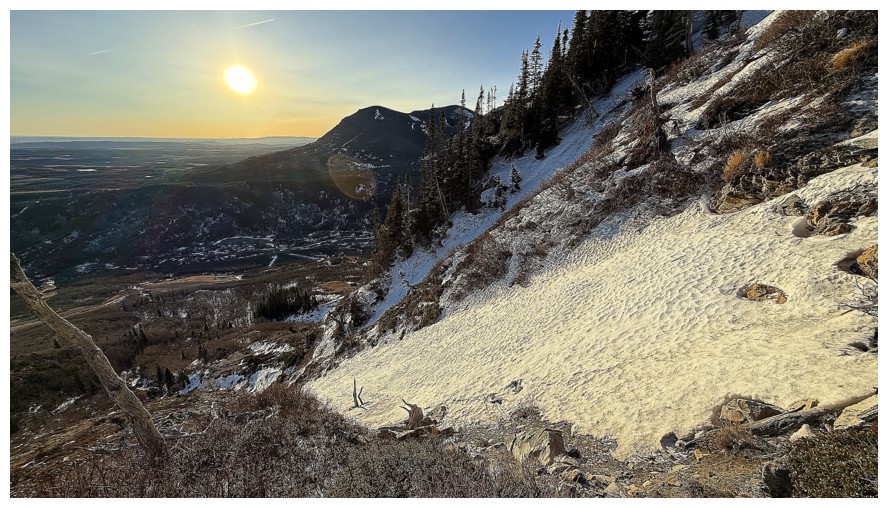
Nice morning colours
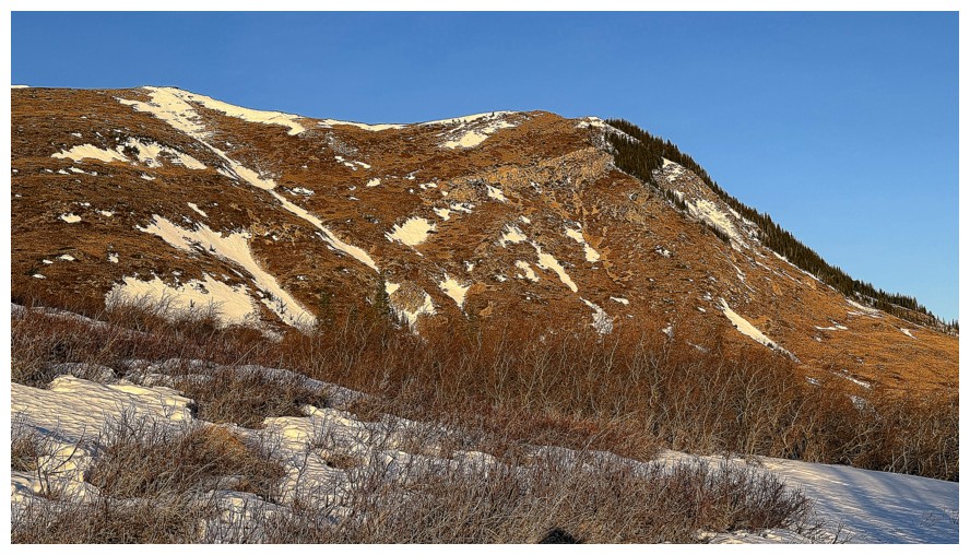
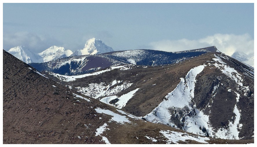
The northern leg of Woody definitely has some potential for exploration
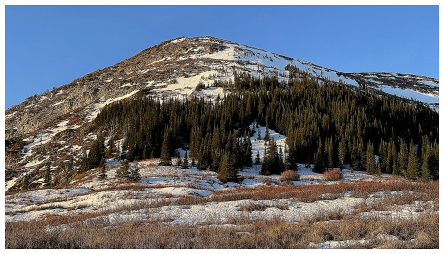
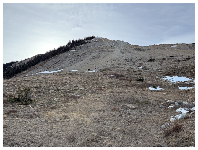
The route I first took up Woody goes around the trees to the left and then straight up. I will be staying left instead.
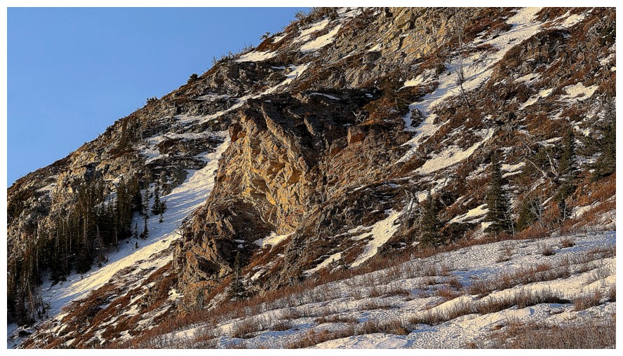
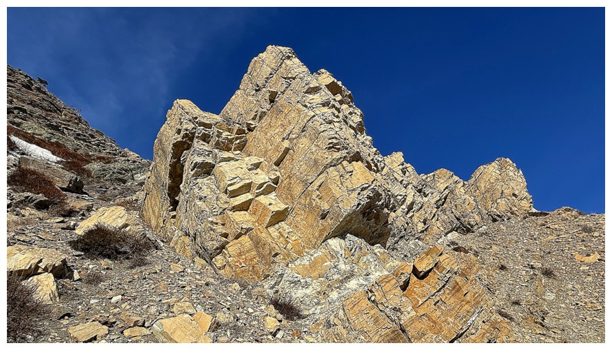
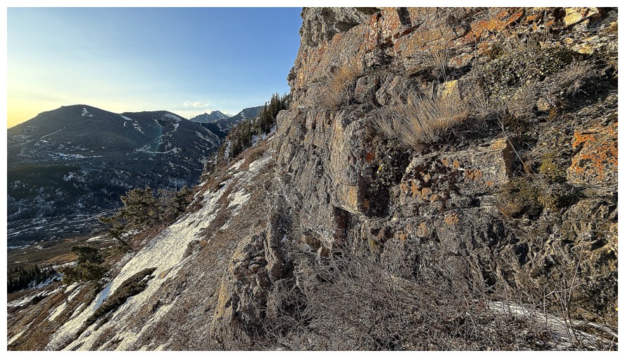
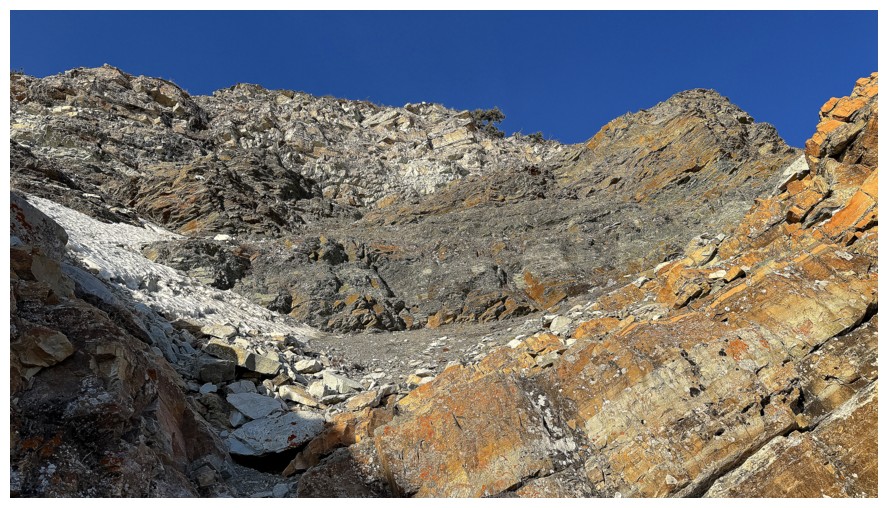
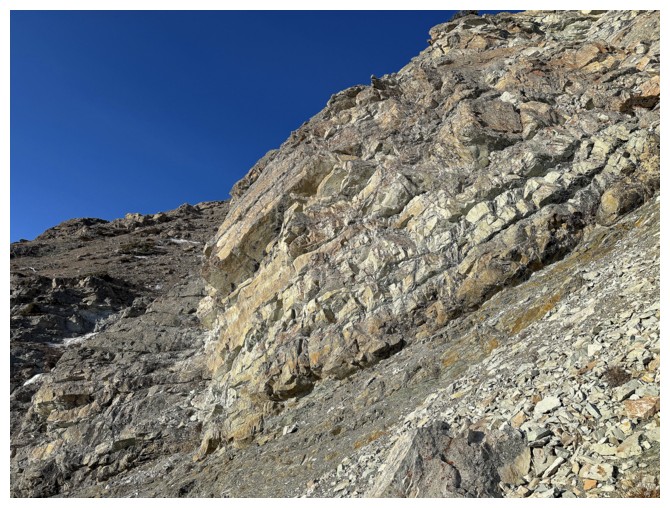
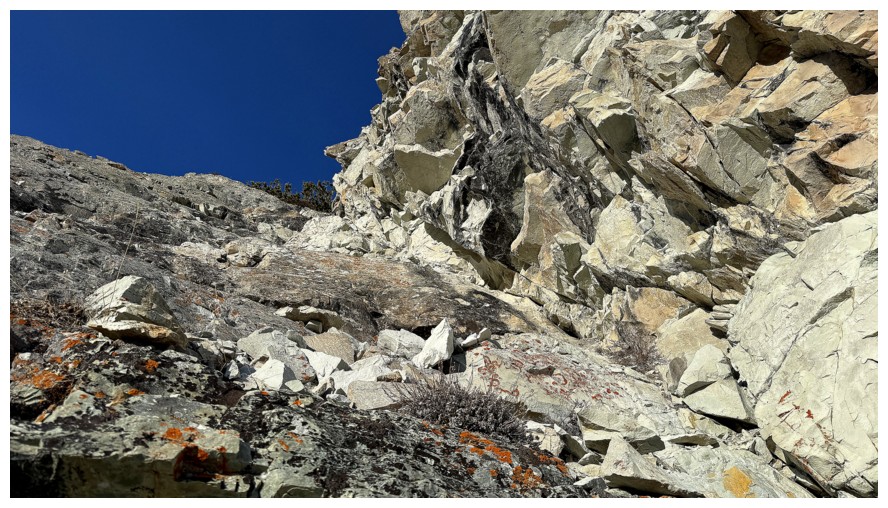
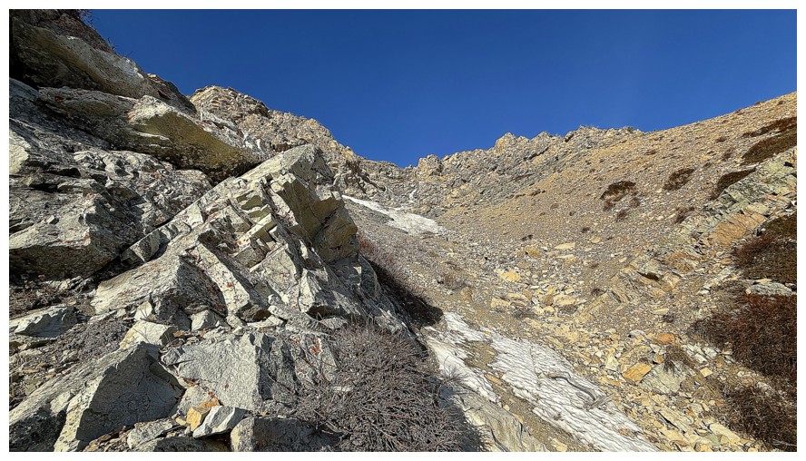
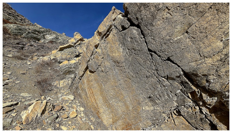
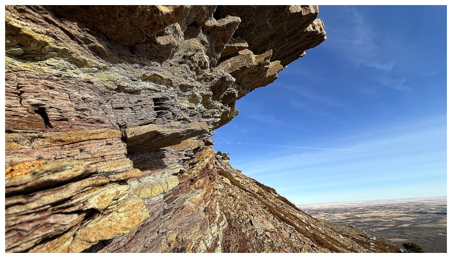
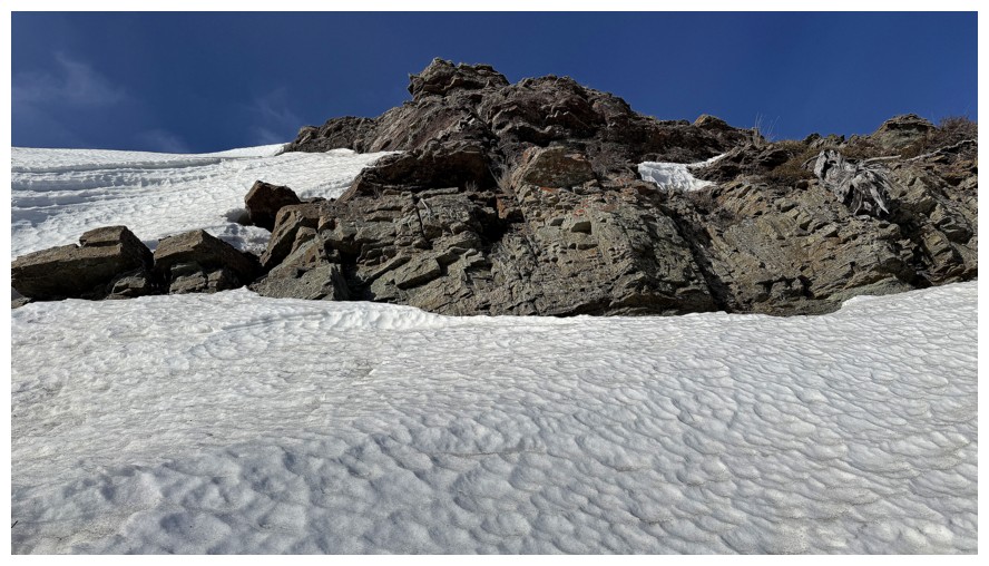
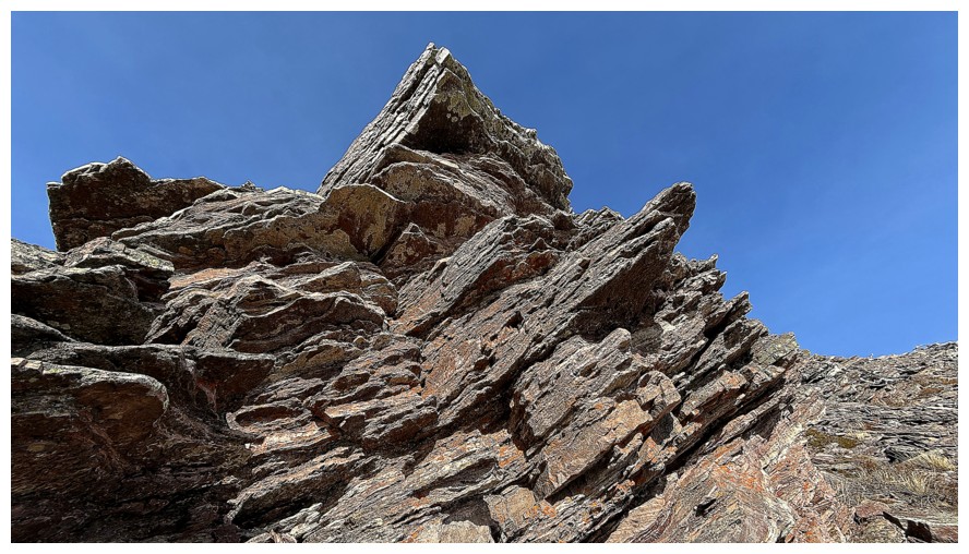
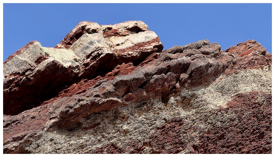
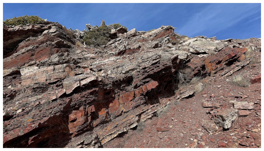
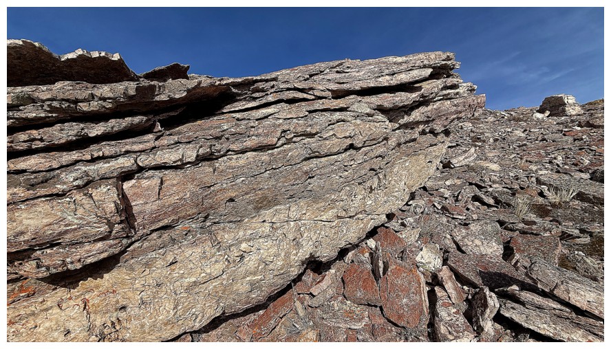
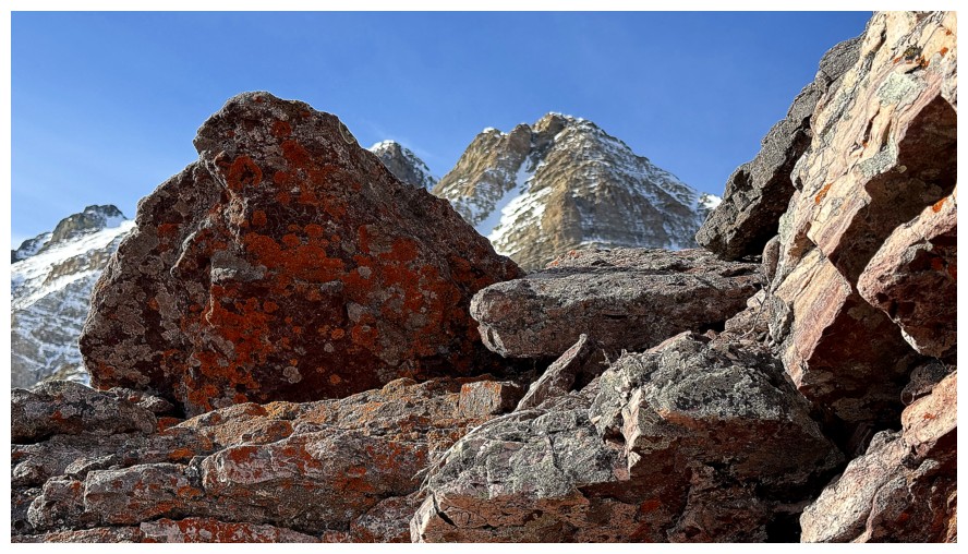
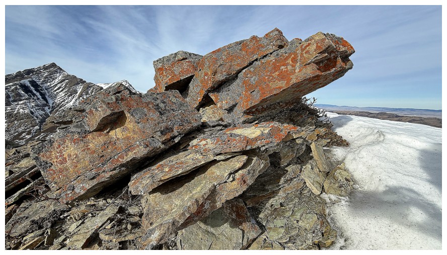
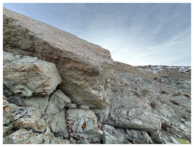
The first and one of the most rewarding sections of the trip. The rock band doesn't look like much from afar...
... but it gets better and better, the closer you get
Thar she blows!
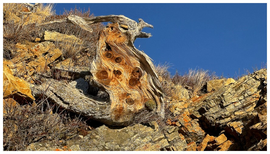
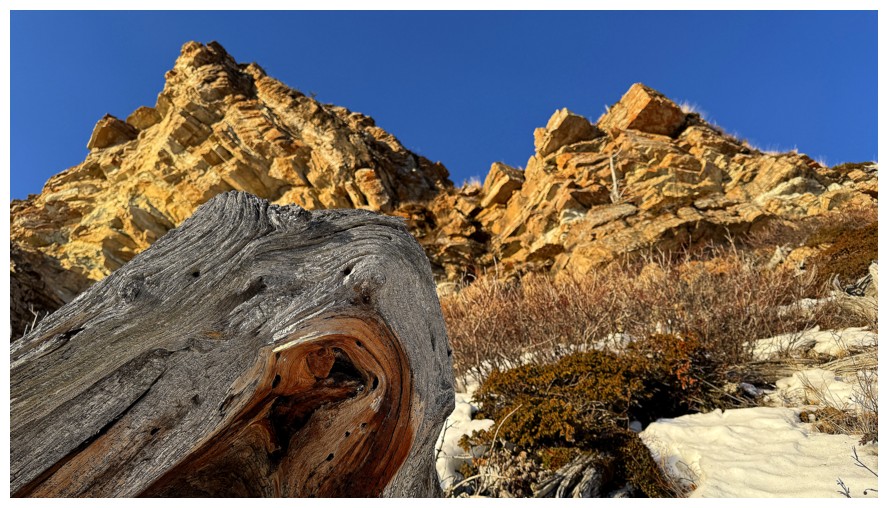
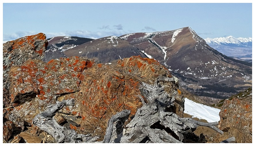
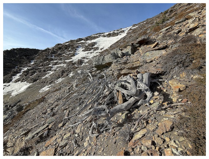
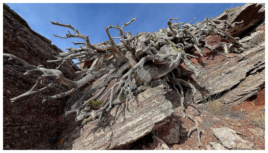
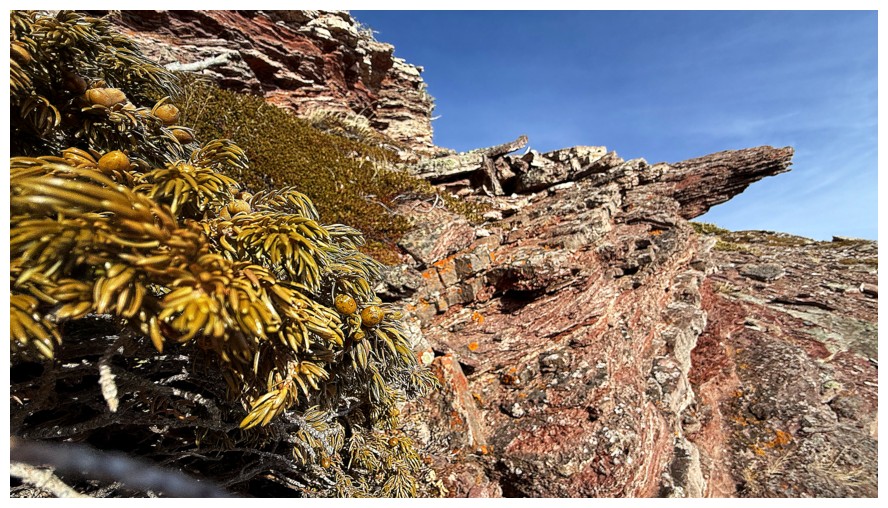
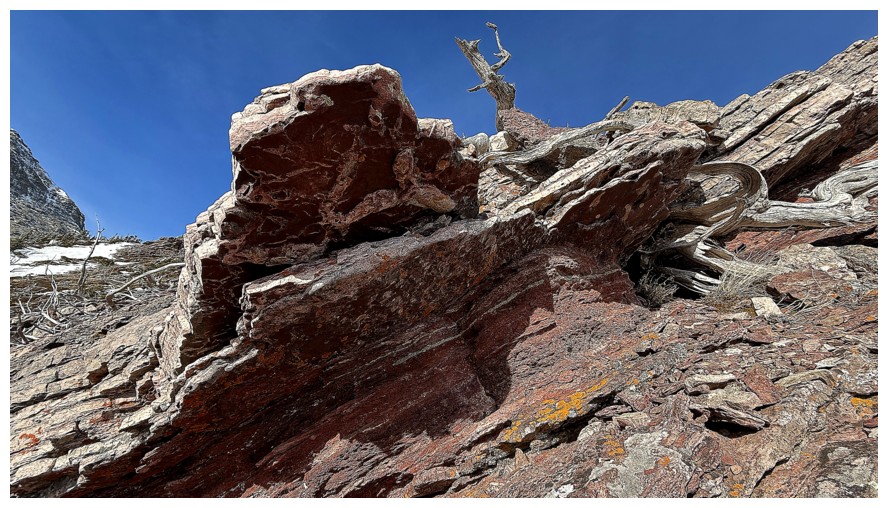
The wood of this dead tree is the same colour as the rock - for now
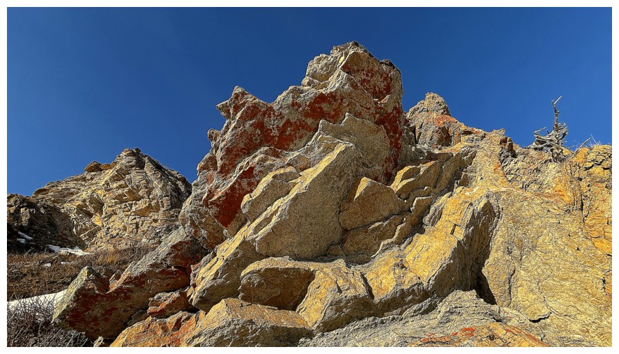
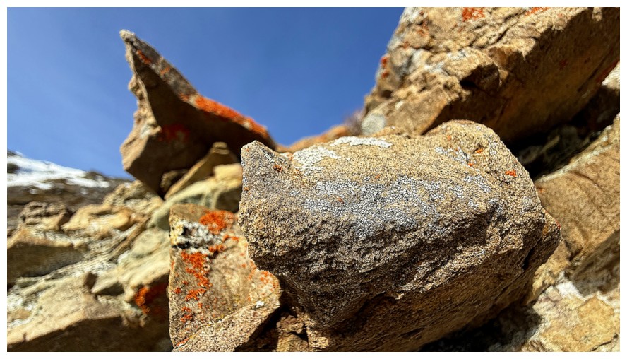
The dark orange lichen adds to the spectacle
There will be much traversing instead of going up for the first part
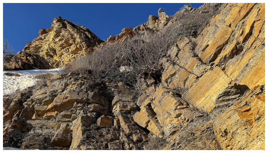
Another dead tree and that rock band
At the base of the band and heading south
A slightly different perspective
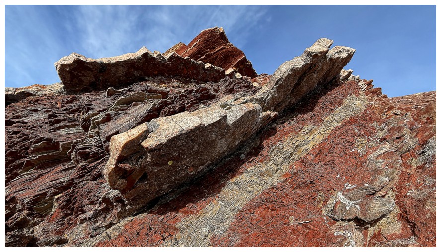
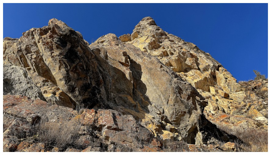
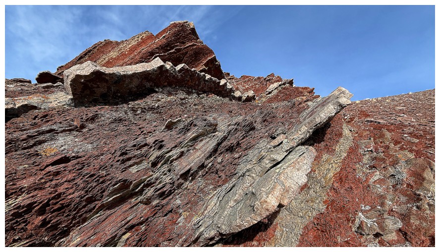
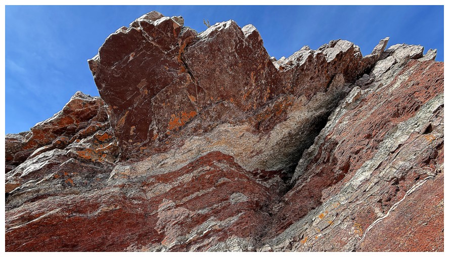
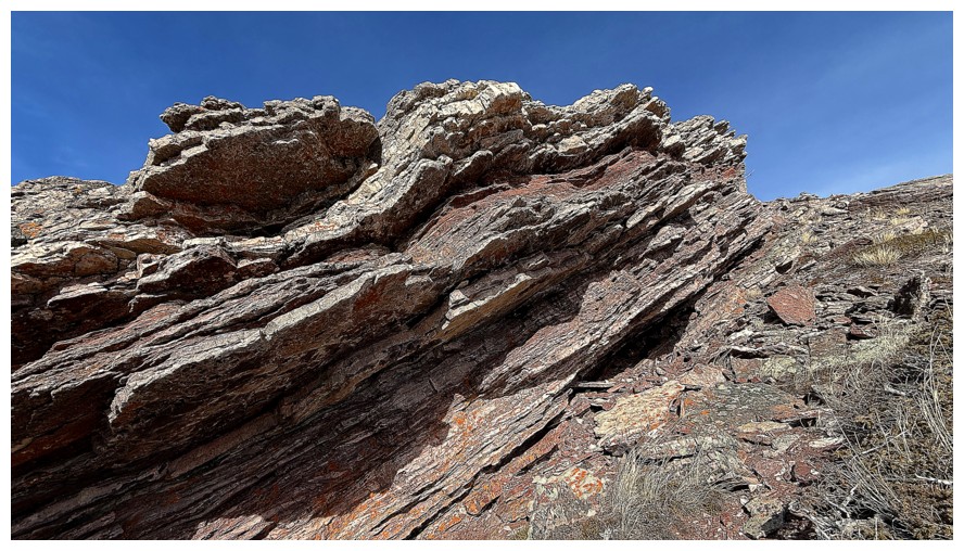
Extreme rock folding
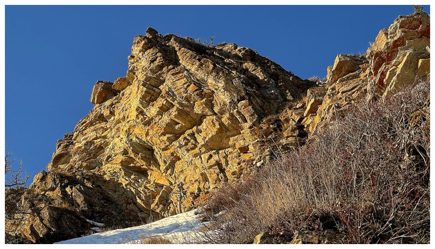
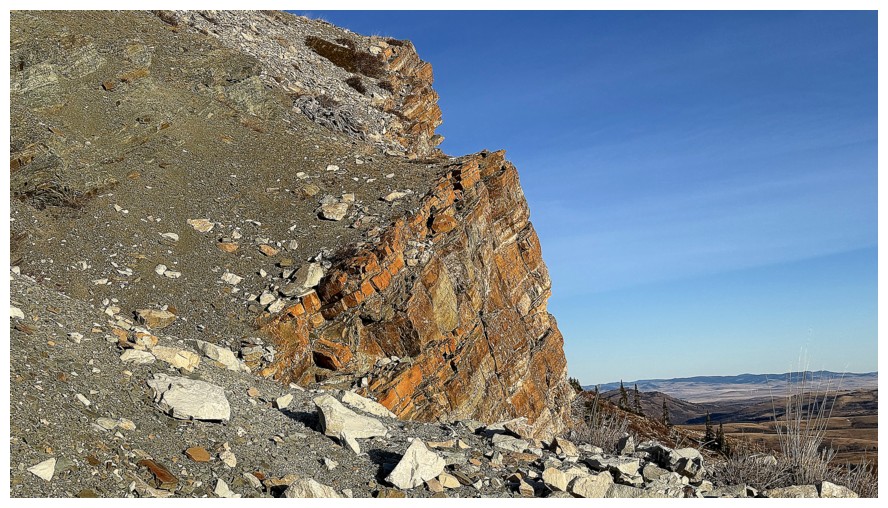
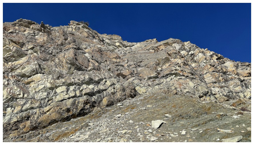
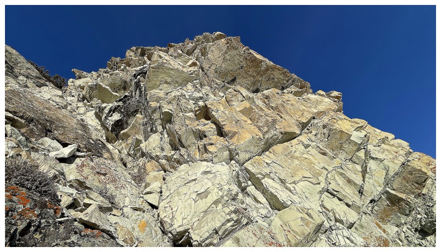
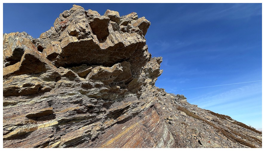
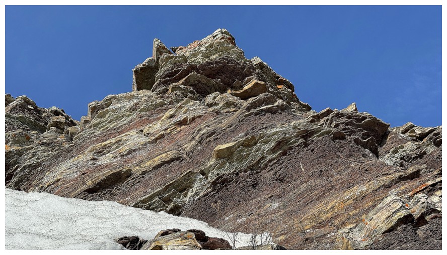
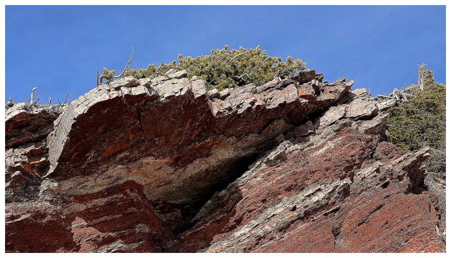
Another wall of rock, much higher on the slopes, that is incredibly alluring
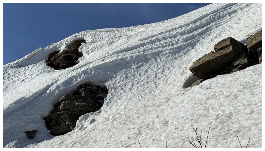
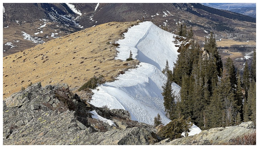
Will have to descend this snow slope to continue
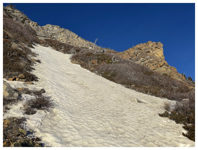
Looking back to the band and the snow slope
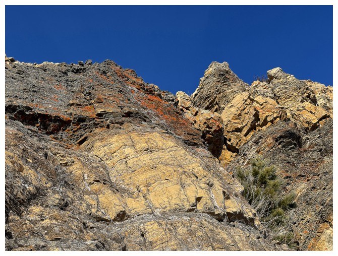
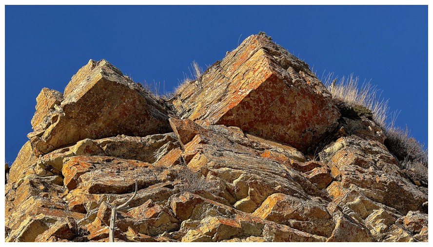
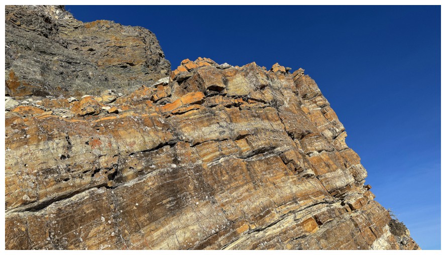
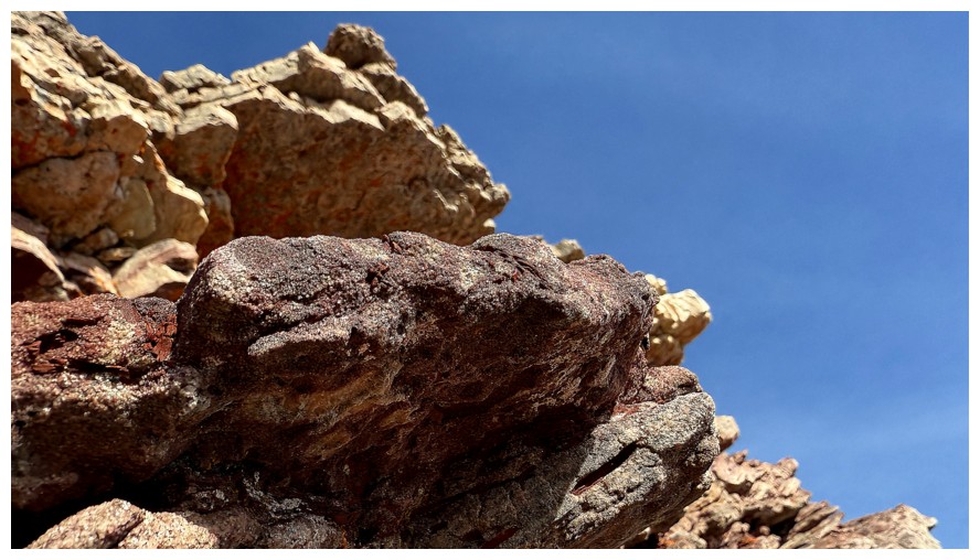
Super bright orange lichen on this band
Resisted the urge to go up here...
...but succumbed to this line
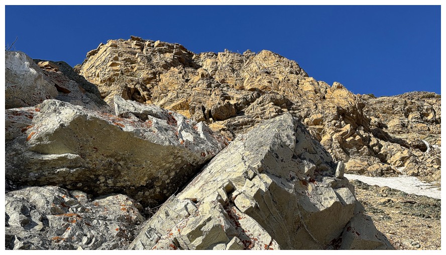
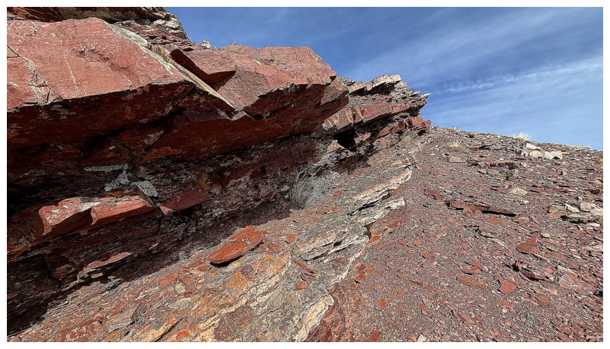
The alluring rock band
Traversing below it
Was very tempted to go up the middle here, but couldn't see the entire line and backed down
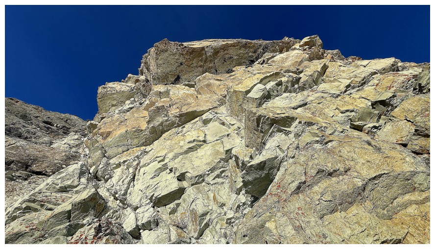
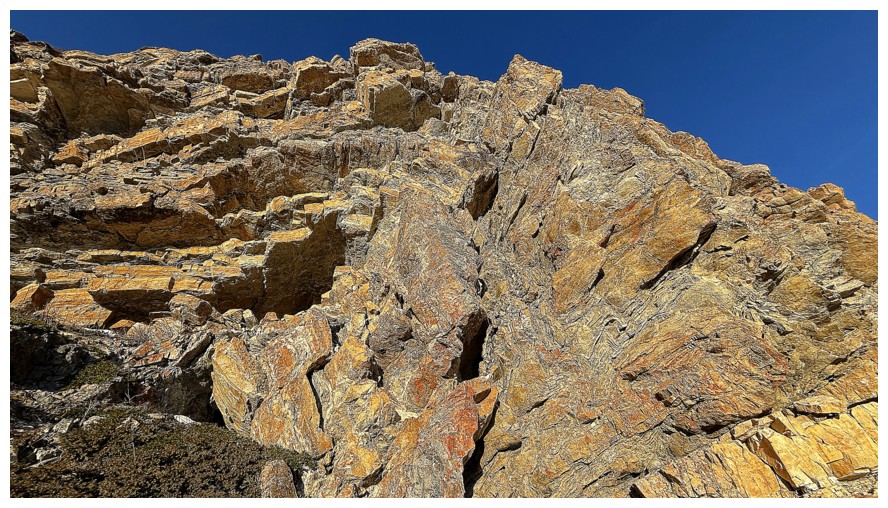
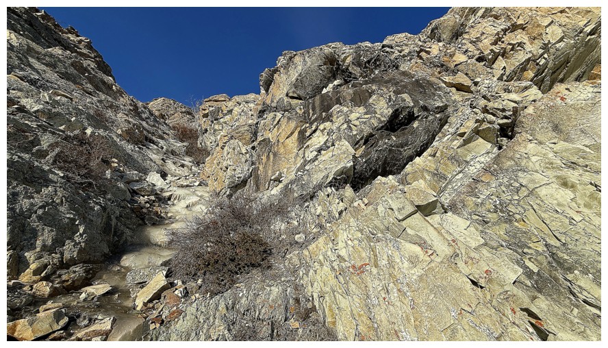
Still traversing below stunningly beautiful rock
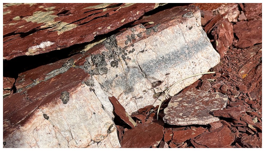
Close-up
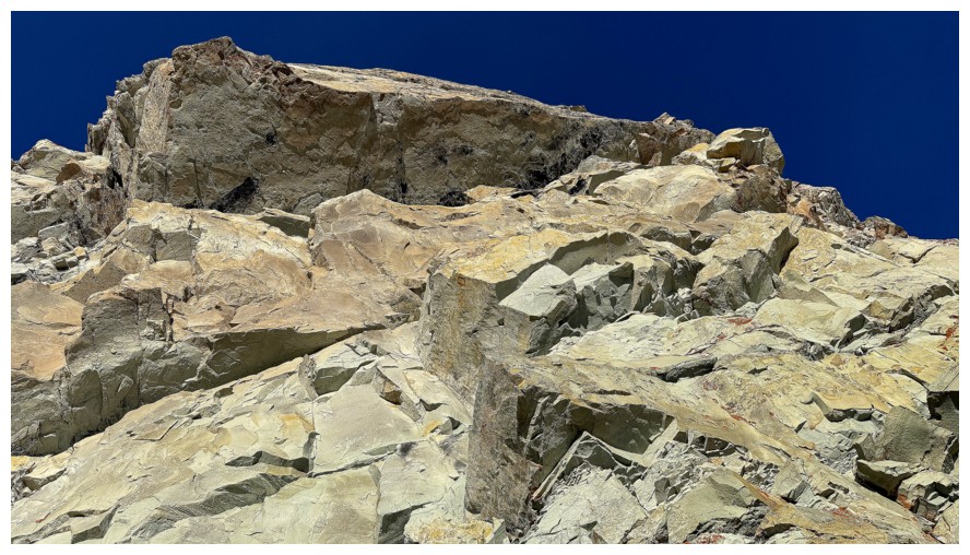
Time to gain some elevation alongside this beaut
This line (up the left side) was quite steep, but the rock was solid and ledgey
Above the steep section
Same as above with a lone tree
Onto easier terrain. I'll go straight up the middle here.
Veering off to the left here was also tempting, but I could see a ribbon of ice up ahead and wanted to check it out
Heading for the ribbon
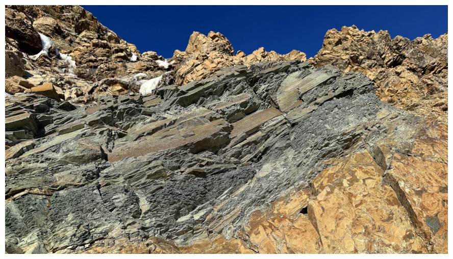
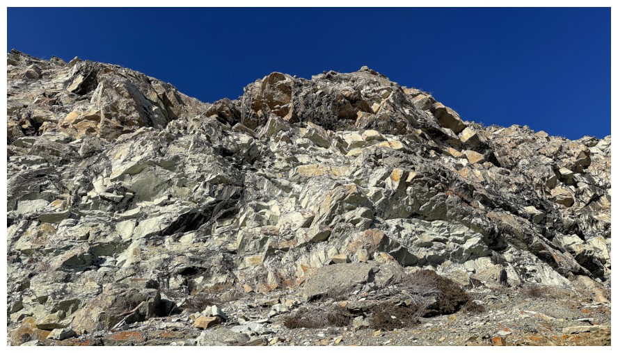
But first, several striking layers of dolostone and argillite
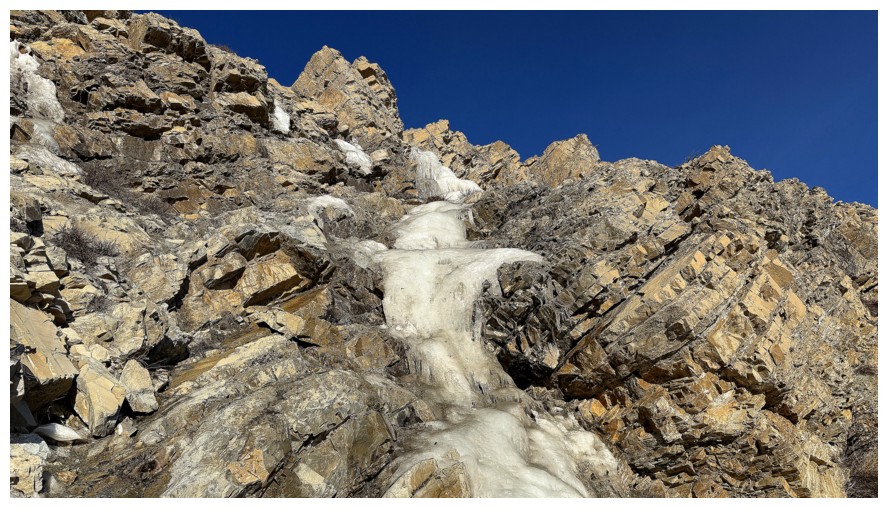
The ribbon that would lead to trouble
But who could resist this?!
Or this
Close-up
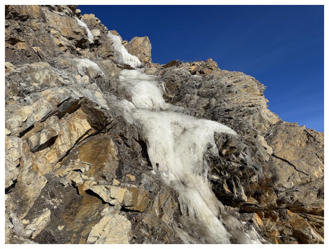
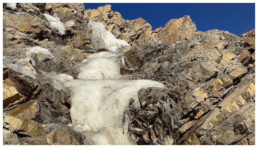
Approaching the ledge where I got temporarily stuck
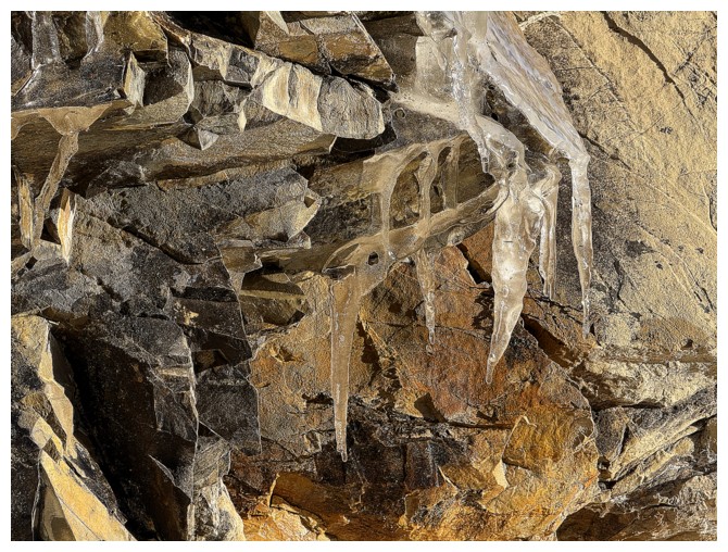
More satisfying frozen water
Stuck - it doesn't look like a death trap, but you can't see the
massive drop below. I had to chop two steps into the ice and escape to
the right side of the photo.
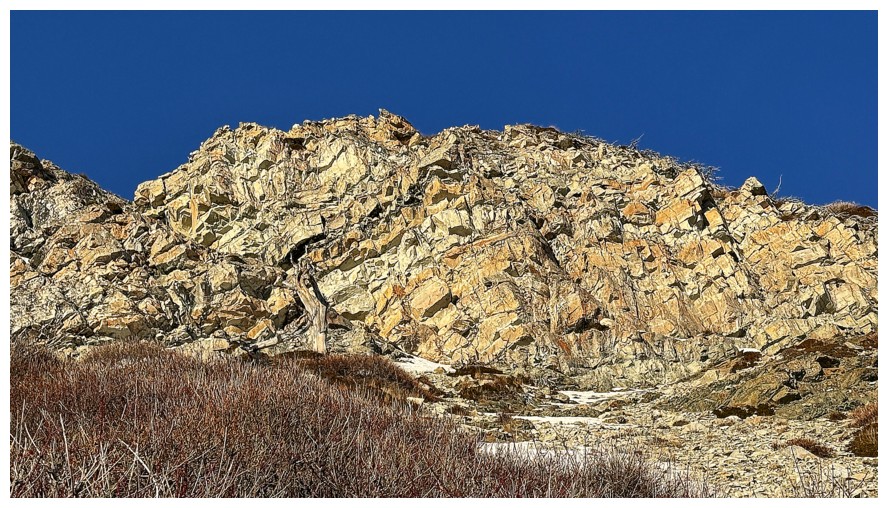
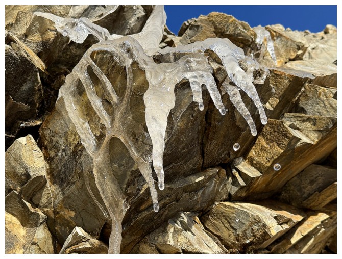
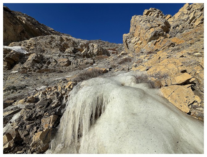
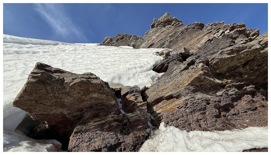
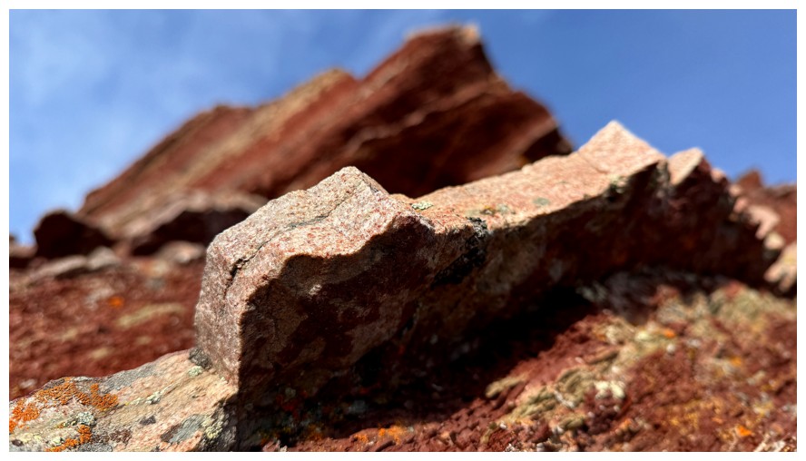
Above the ice sits another remarkable chunk of CaMg(CO3)2 (dolostone)
Smooth rock
Now traversing left and up towards the snow
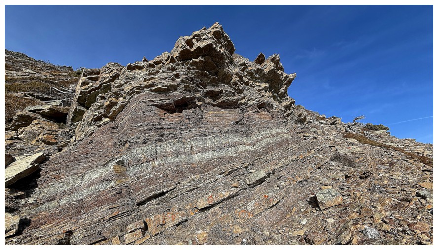
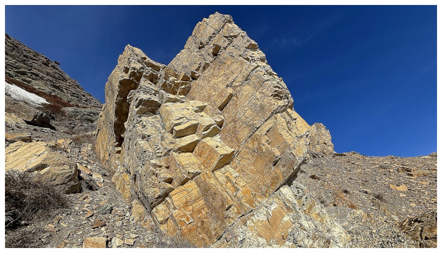
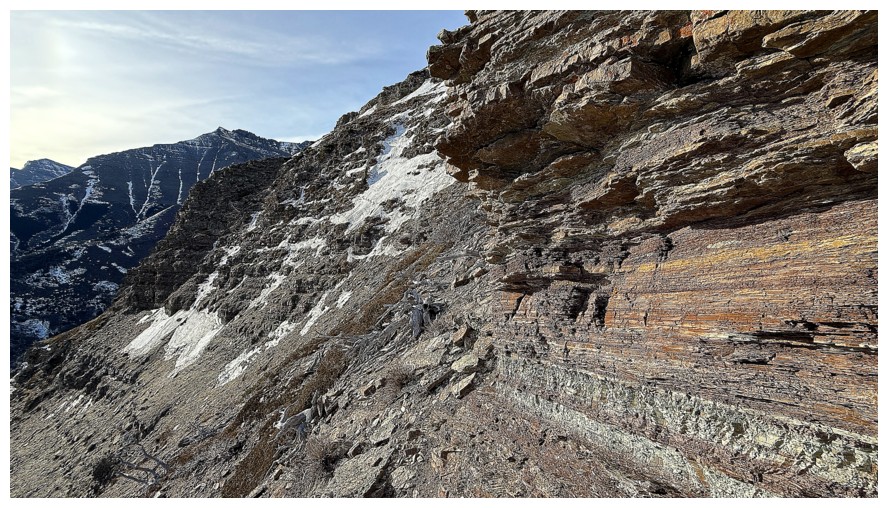
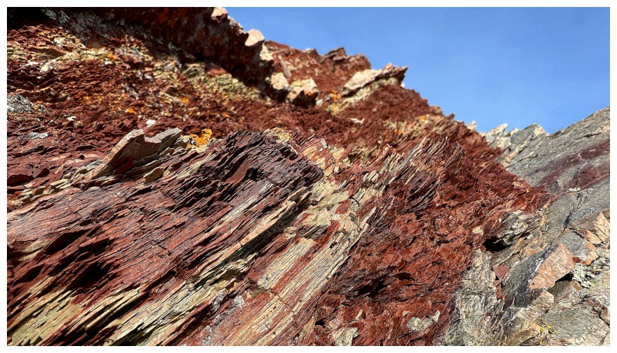
The argillites are starting to appear
Not argillite
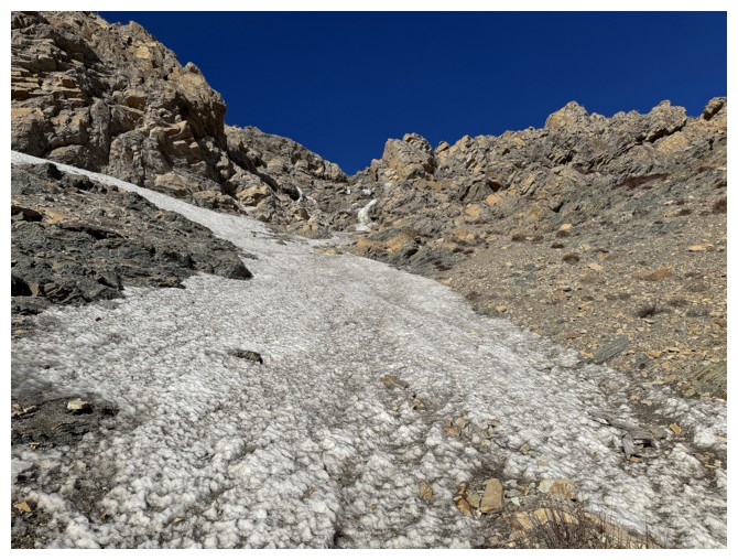
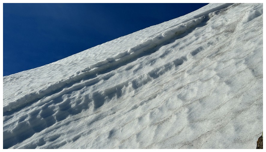
Traversing over to the steep snow slope
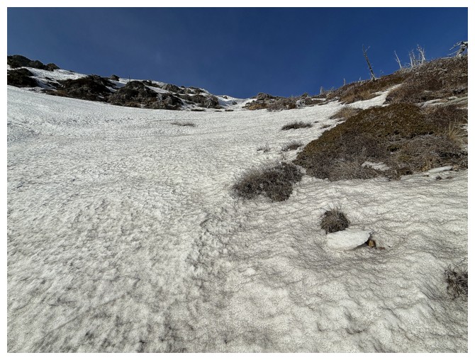
Ascending the side of the snow so that I can escape to the rock when needed
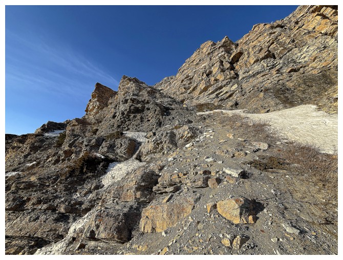
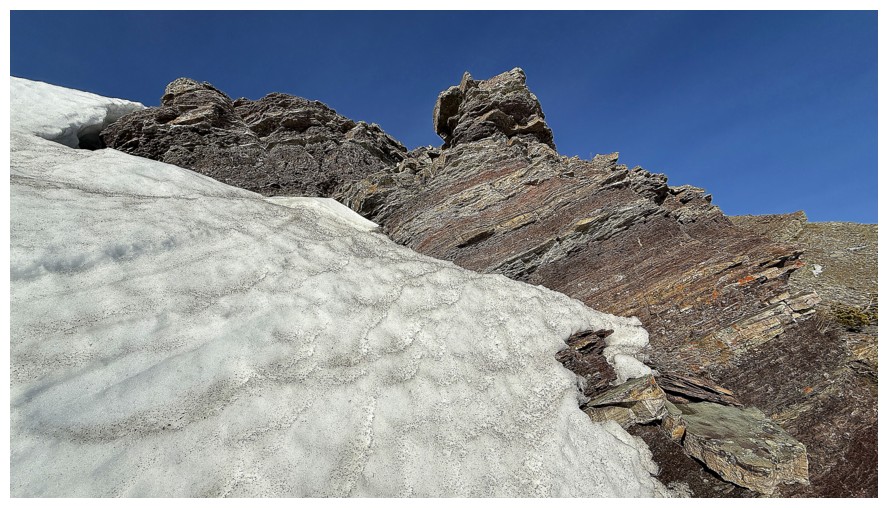
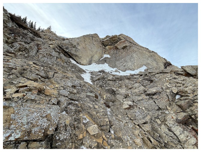
Managed to sneak up to the rock face and ascend the left side of the rock to the ridge
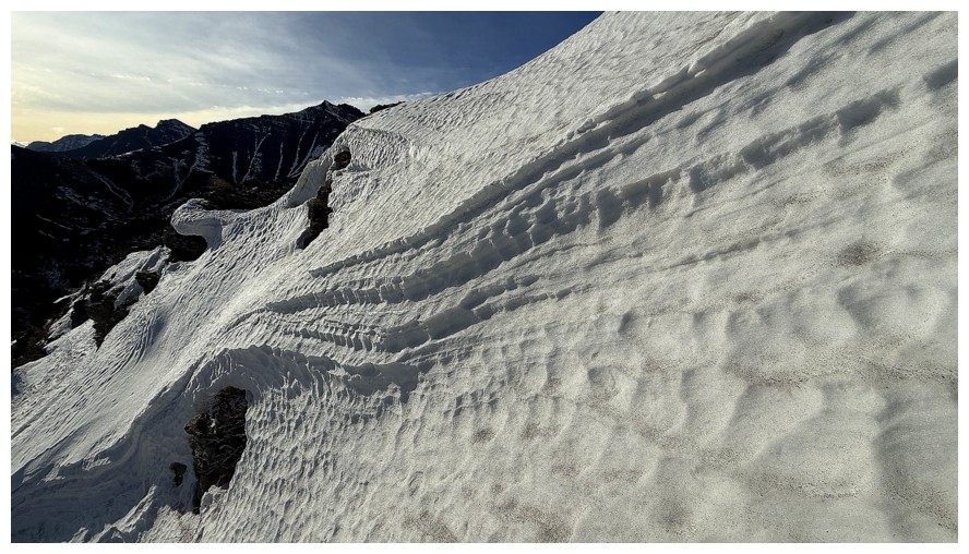
The snow guarding the ridge was very steep
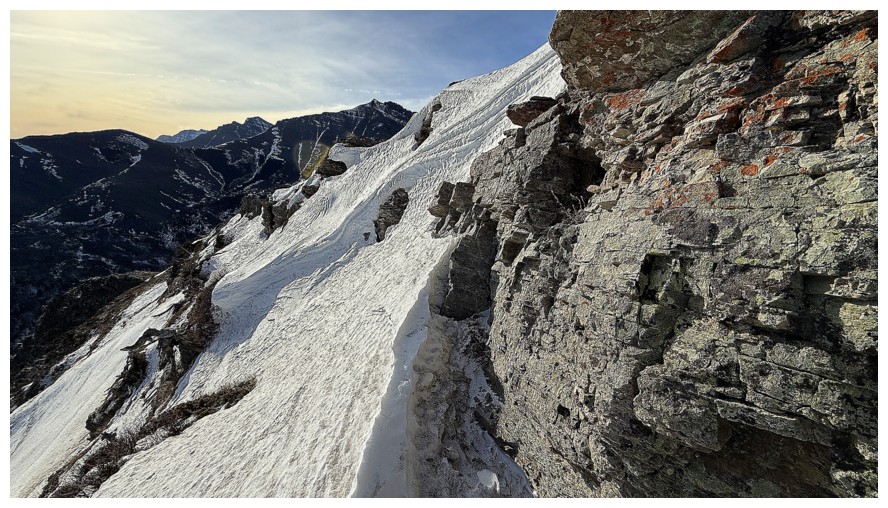
That steep
The ledgey rock made the ascent easy
Snow close-up
Rock close-up
Both
Right up against the snow wall
Excluding The Muffin, The Croissant, and Butter Tart, the two eastern summits of Loaf Mountain,
Bakery Peak and Icing On The Loaf Peak to the south
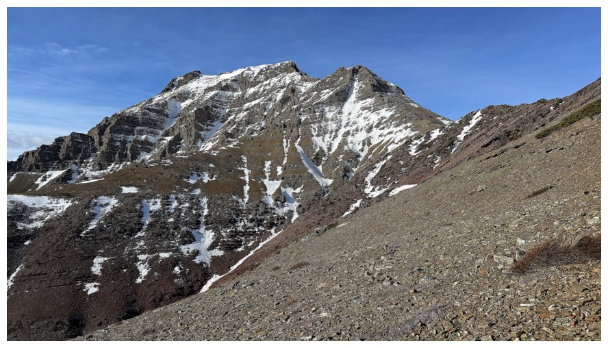
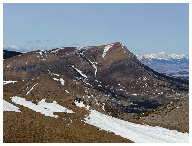
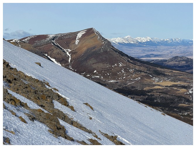
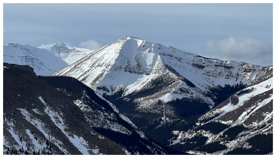
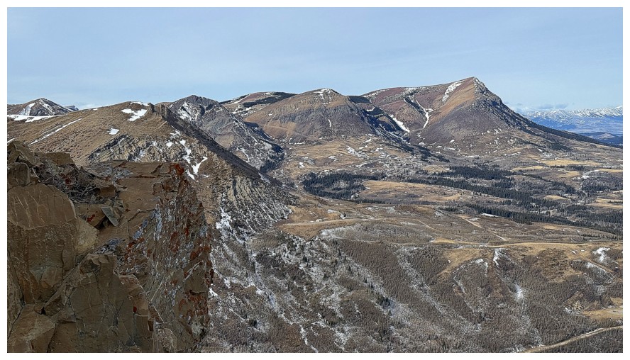
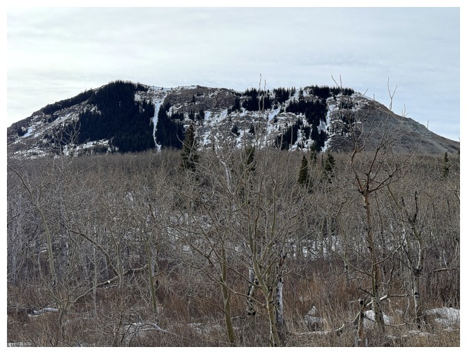
Drywood Mountain - so many interesting routes up that peak
The true summit of Loaf Mountain
The Knot again
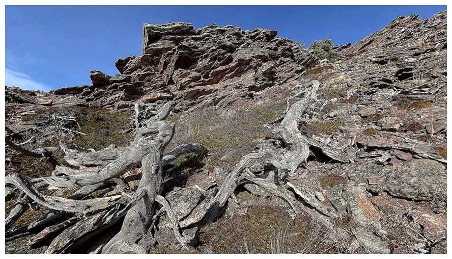
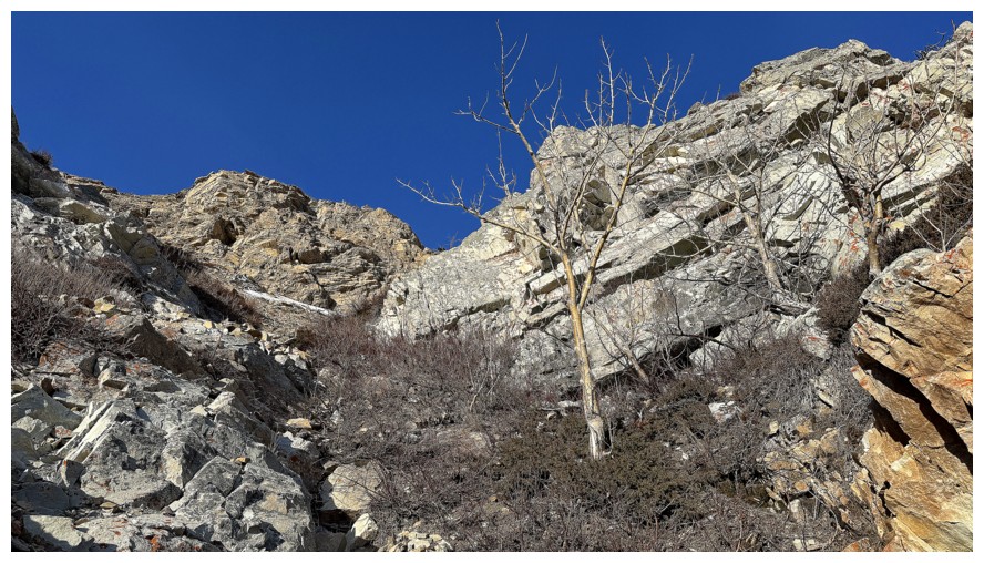
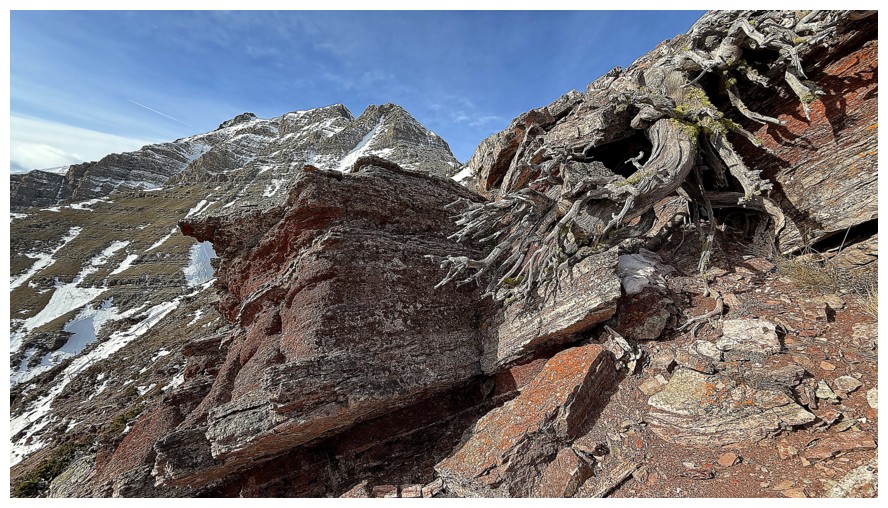
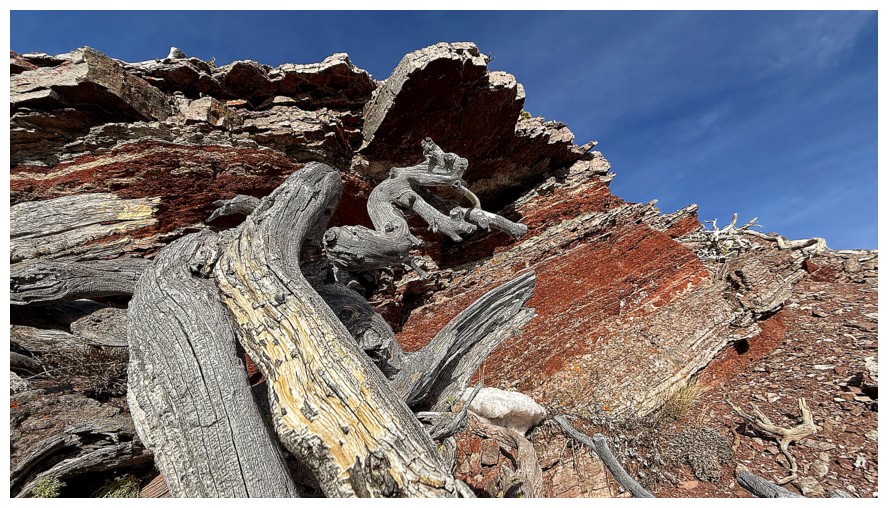
A cool section of twisted dead trees and terrific rock
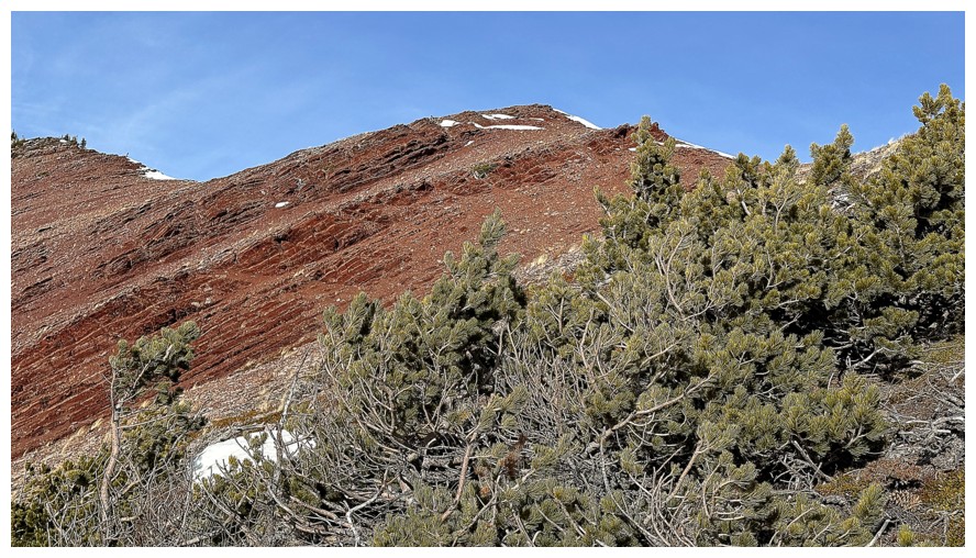
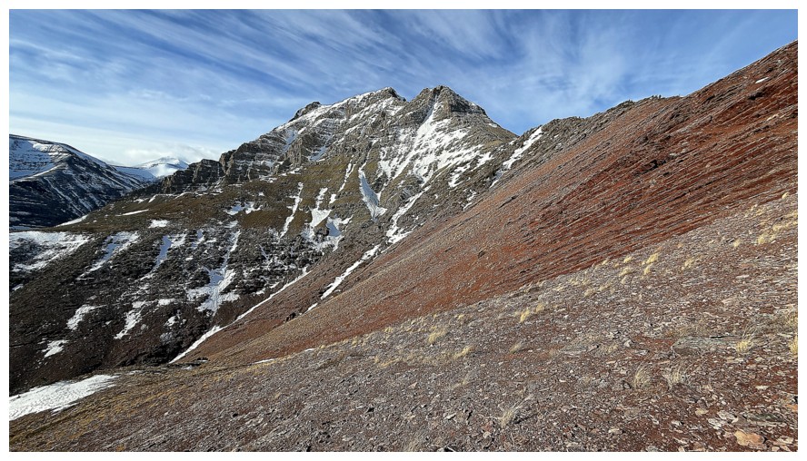
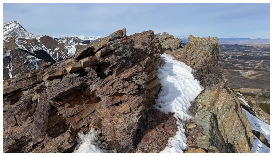
Getting close to the massive swath of red argillite that runs through the mountain
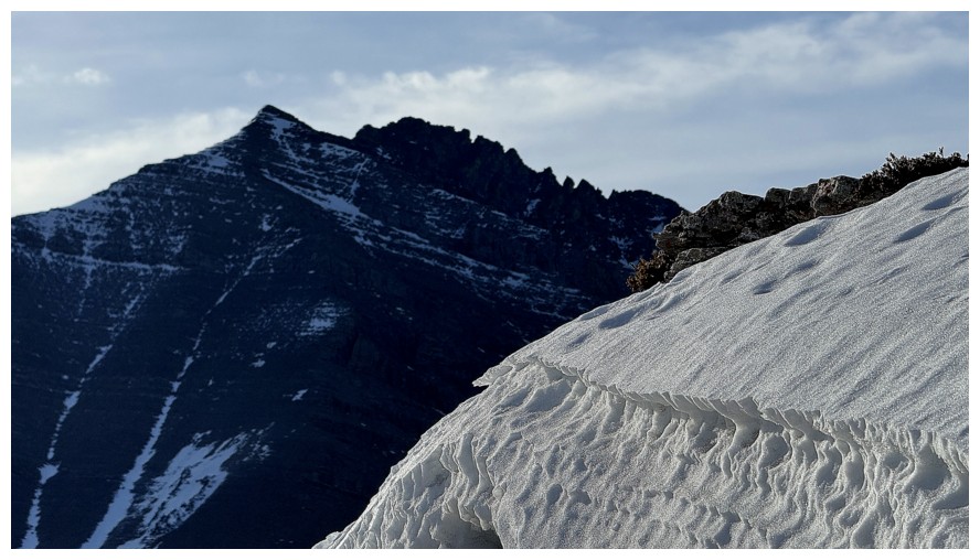
The northeast ridge route of Drywood ascends the snow slope in the shade, right of centre, but it must be snow-free
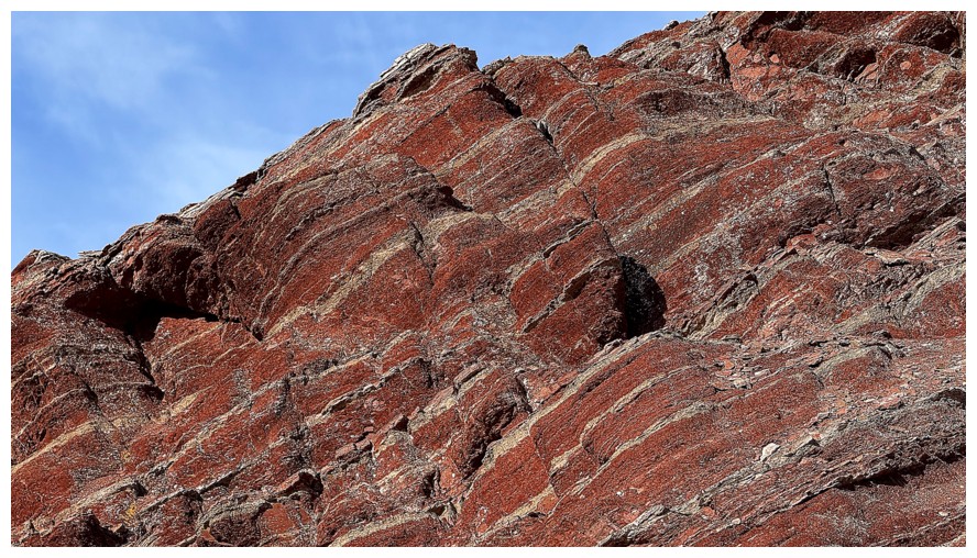
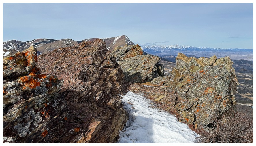
It's red argillite time and although I would have loved those perfectly
clear, deep blue skies above, I'll take this slightly muted version
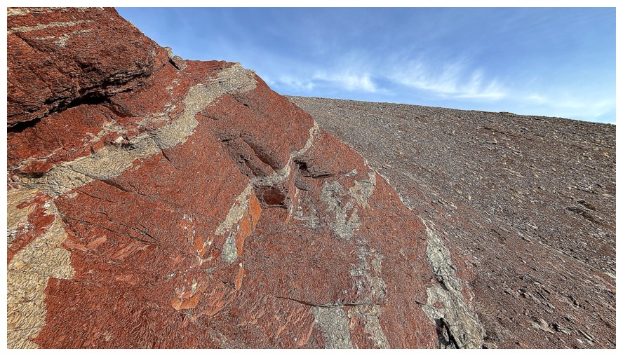
This section received tons of photo attention
Moving on
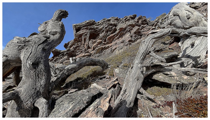
Another round of dead trees
Some greenery (and brownery) to add a little more spice - good for green to be the only colour that earns an "ery" suffix!
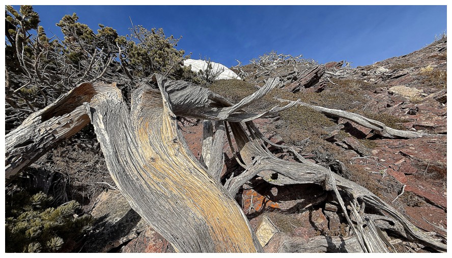
Last of the dead trees before reaching the summit
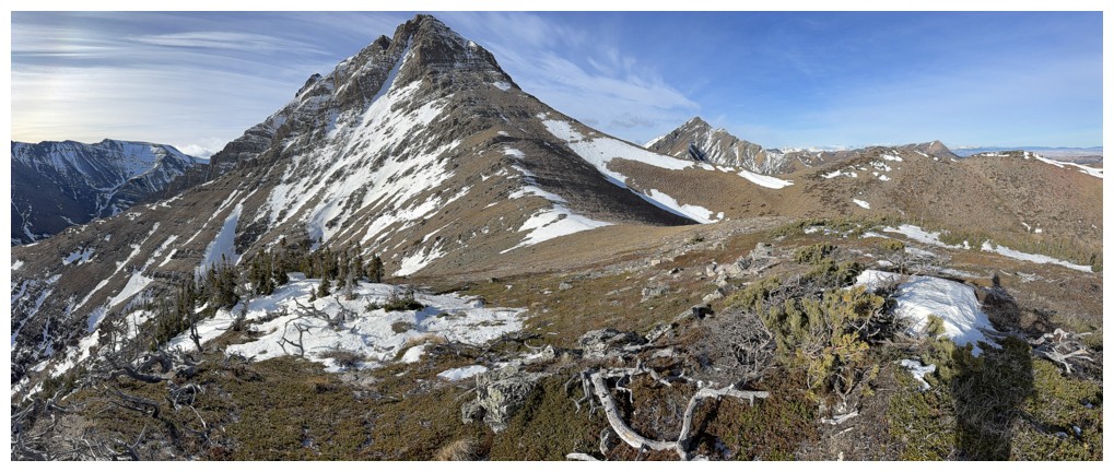
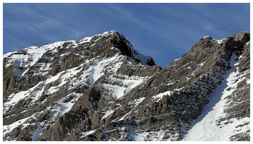
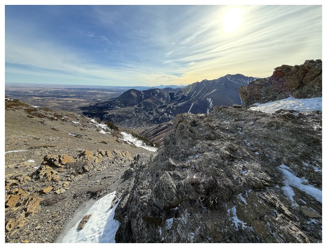
Summit view
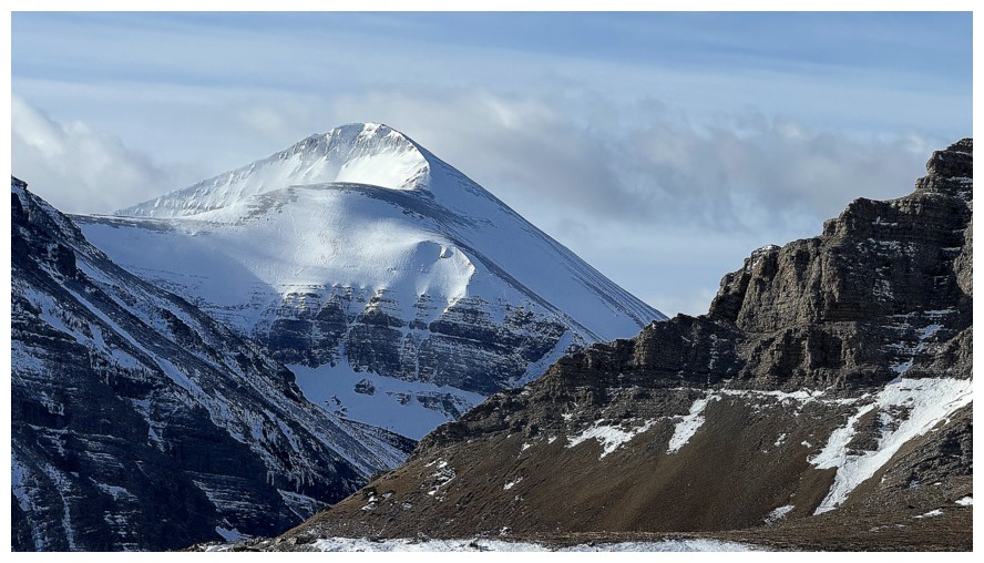
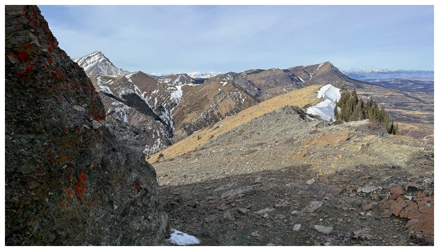
First of many views of Prairie Bluff
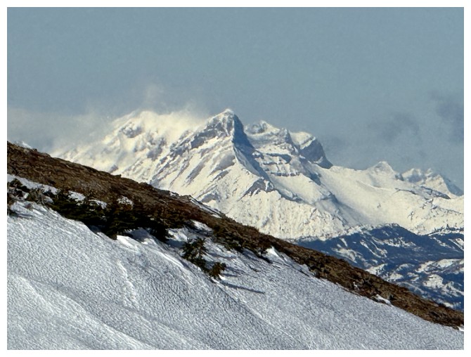
Very distant Mount Coulthard
View to the south
Time to head over to Stumpy and Barky
The easiest and fastest descent route goes down this gully, but I have other plans
Approaching a snow slope I had to be careful on, as the snow was quite hard
Summit of Pincher Ridge
Cool view of Pincher
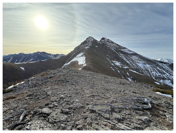
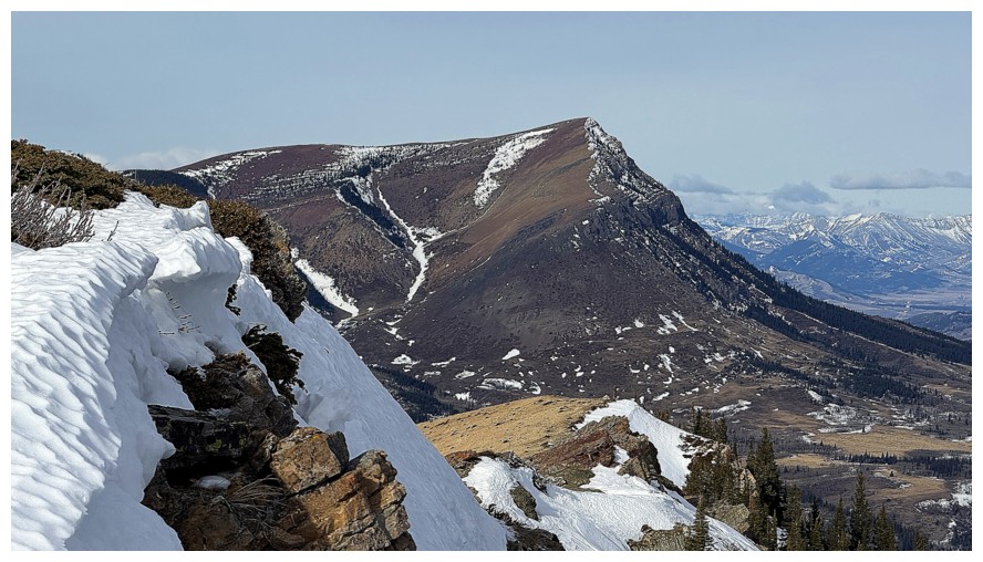
The Knot and Drywood Mountain from the next summit
The plan now is to follow the northeast ridge down
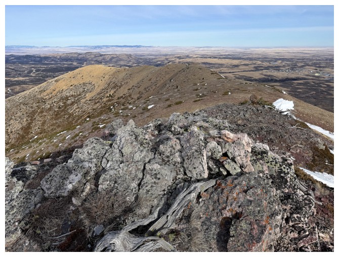
The northeast ridge is a fun and scenic affair with lots of stops to check out the amazing variety of rocks
Case in point
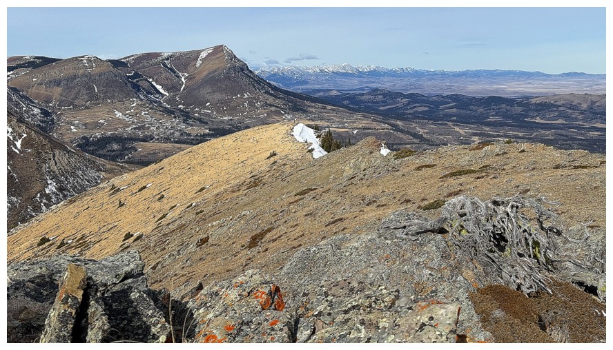
The southwest summit of Pincher Ridge
Mount Darrah peaks over Table Mountain and Whitney Creek Mountain
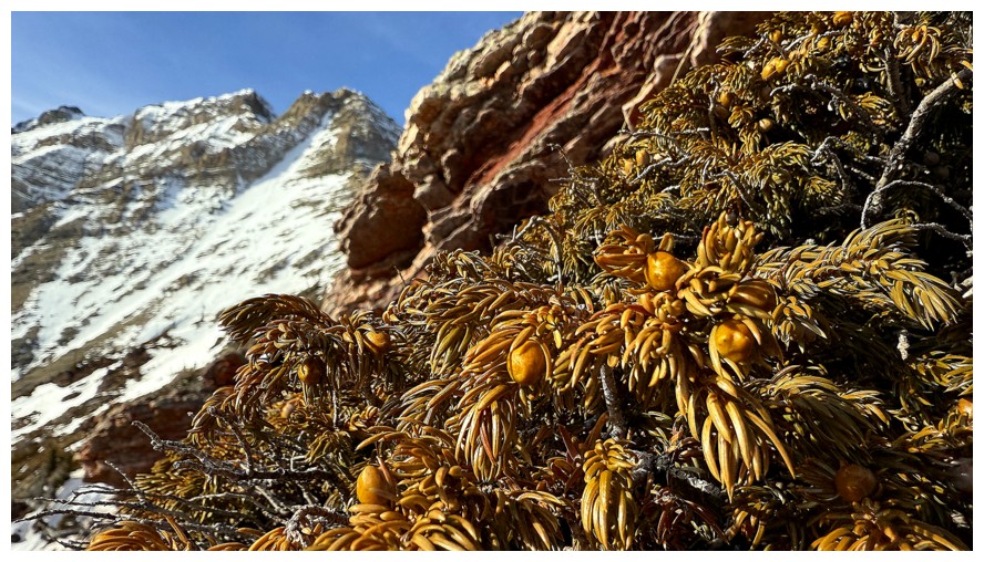
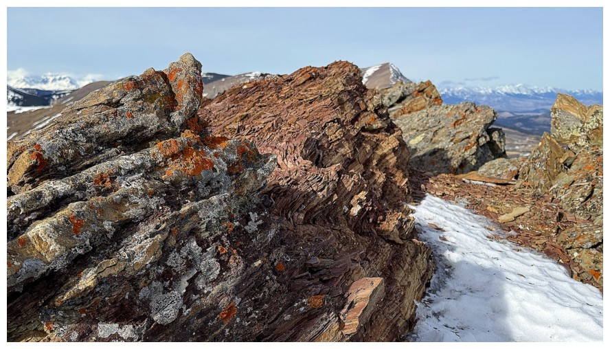
More of the lichen-covered rock...
...and more rewarding views of Bluff
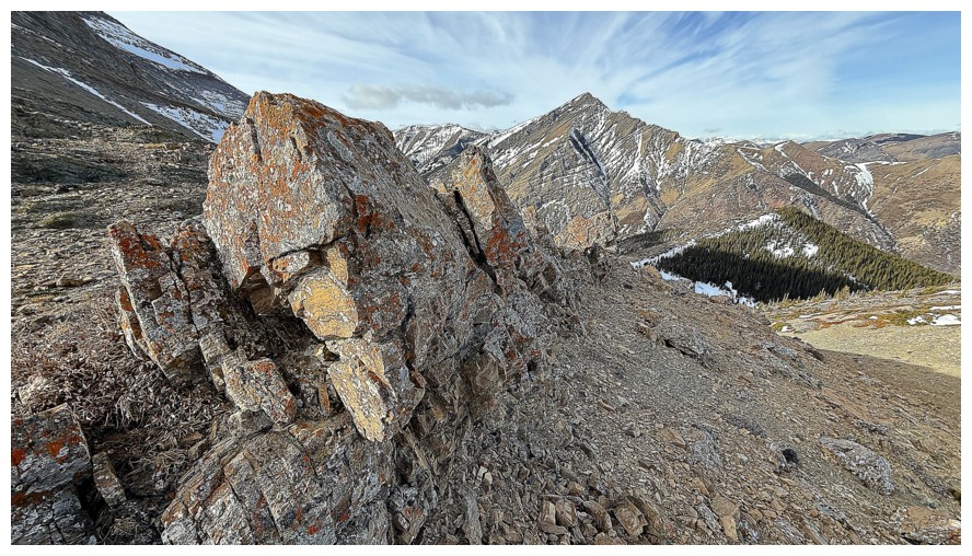
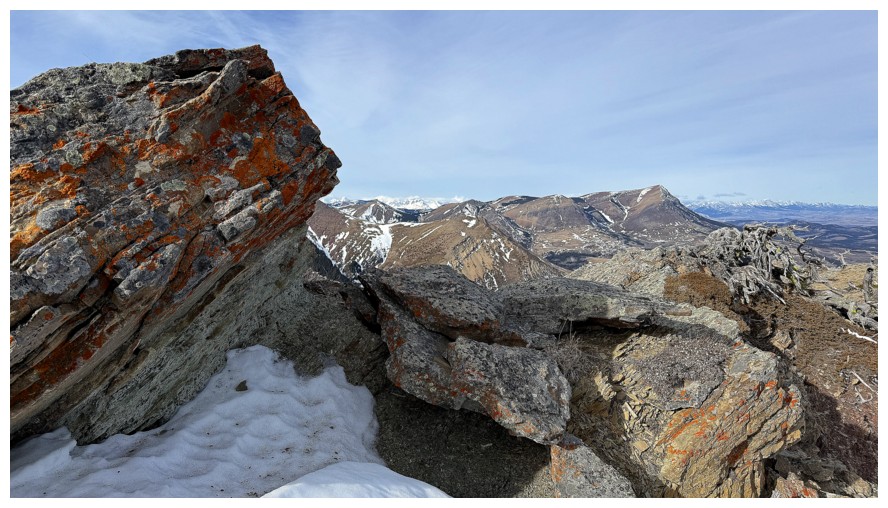
The coolest section of rock along the ridge
Hiding behind a rock band to get shelter from the relentless wind
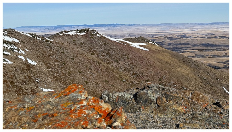
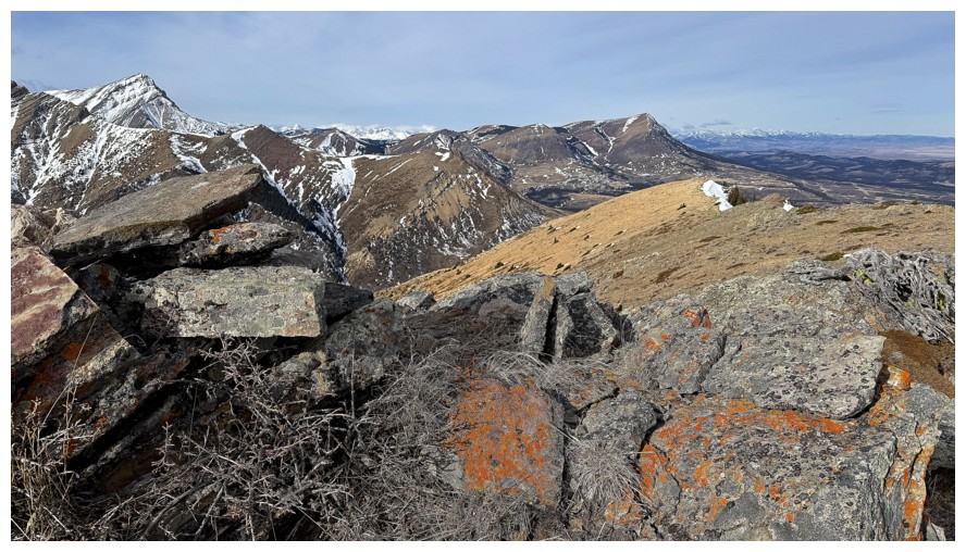
The ridge ahead
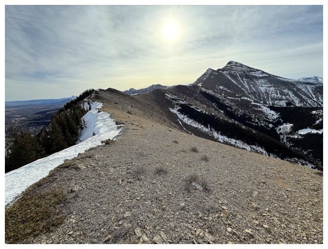
The ridge behind
Descending the northeast side to the gas road below
Last look at Prairie Bluff and its outliers - Fire, Sky, Oyster, and Storm
The northeast side features solid, whitish rock
Looking back at the descent route
Looking over to the northeast ridge, while hiking back to the trailhead
Done
The End
LOG