April 19, 2024
Mountain height: 2760 m
Elevation gain: 1000 m
Ascent time: 5:00
Descent time: 2:50
Scrambling and
some mountaineering with Mark.
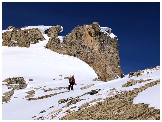 I was super
excited to share this trip with Mark. Unofficial O Peak is the lowest outlier
of the incredible OXO massif that also includes OX Peak (all unofficial names).
However, what O lacks in official status and stature it more than compensates
with wild mountain scenery and phenomenal views. In fact, having ascended all
three peaks, I would give O the best overall rating.
We were hoping
the Mosquito Creek Trail, now in late season condition, 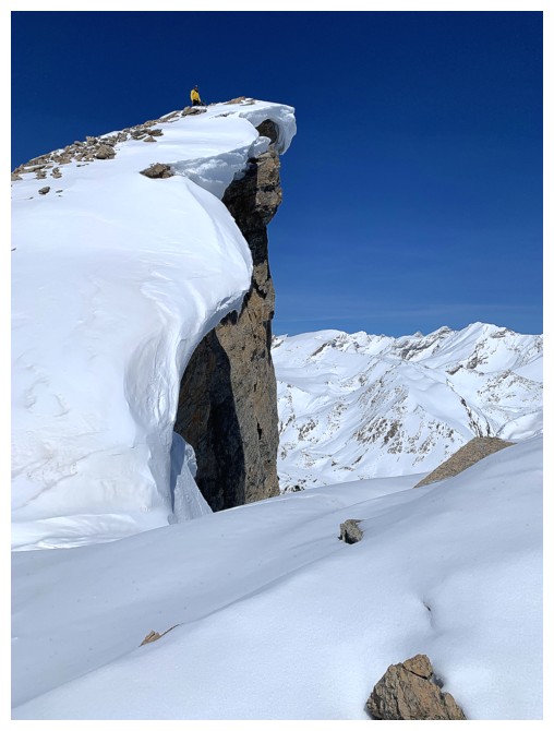 would be packed down enough
to allow a quick snowshoeless approach and it was - Microspikes worked
perfectly. With fingers crossed, we then left the trail to find equally perfect
conditions heading up the south side of O. Even though the snow was still at
least half a metre deep, we did not sink at all, in sharp contrast to my
post-holing ordeal of December 2022.
Similar to that
December ascent, crampons and ice axes were soon employed on steep slopes to
gain the ridge. From that point, we more or less followed the ridge (a less
direct but infinitely more scenic route) as I had done before. Third time and
the route lived up to all my hype and more! As Mark stated, the col between the
false summit and a highpoint further south is one of the coolest spots he has ever
visited anywhere in the mountains (me too!). Several detours to make the most
of the jaw-dropping scenery slowed our progress, but eventually we made the
summit and enjoyed a long break to take in the terrific view.
For descent, we
took a more direct route back to the start of the ridge, one that was
considerably easier than the ascent. Following our uptrack down for the
remainder went with great ease and even with the daytime heating we managed to
avoid having to put the snowshoes on.
An incredibly
rewarding third ascent of a somewhat obscure peak that deserves far more
attention than it receives.
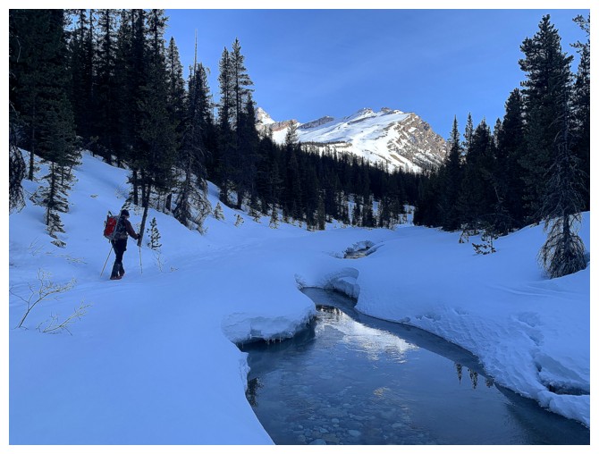
First look at the objective
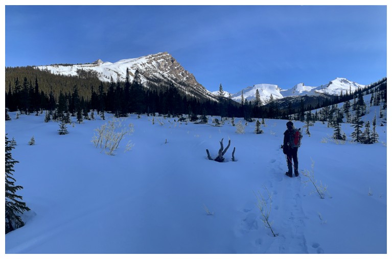
The south ridge of O Peak at the left and the Quartzite, Ramp, Mosquito trio at the right
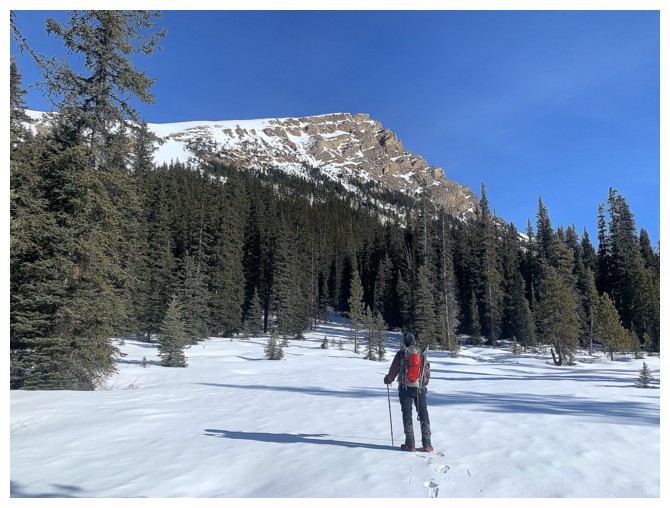
Off the main trail and arriving at an open area to check out the south ridge
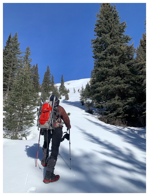
Approaching the main slope and still encountering perfect snow conditions
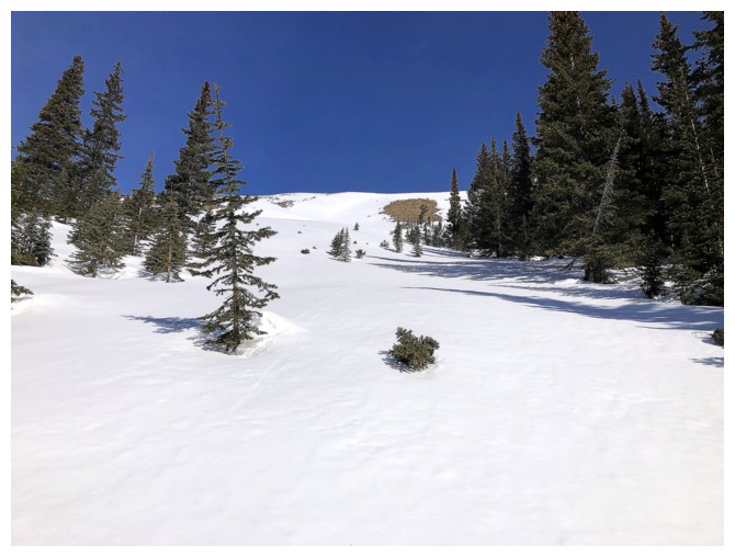
The main ascent slope - it's much steeper than it looks
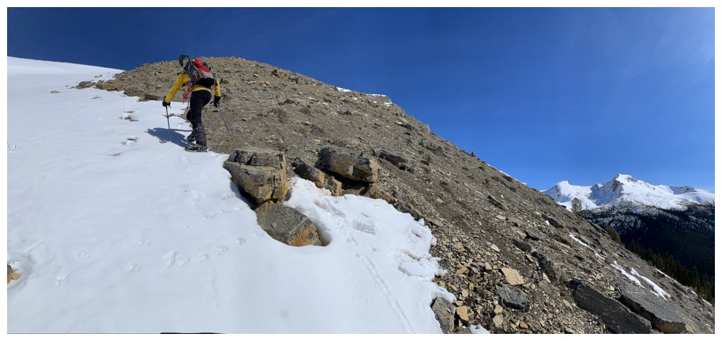
Using the snow and the snow-free terrain to make the ascent safer
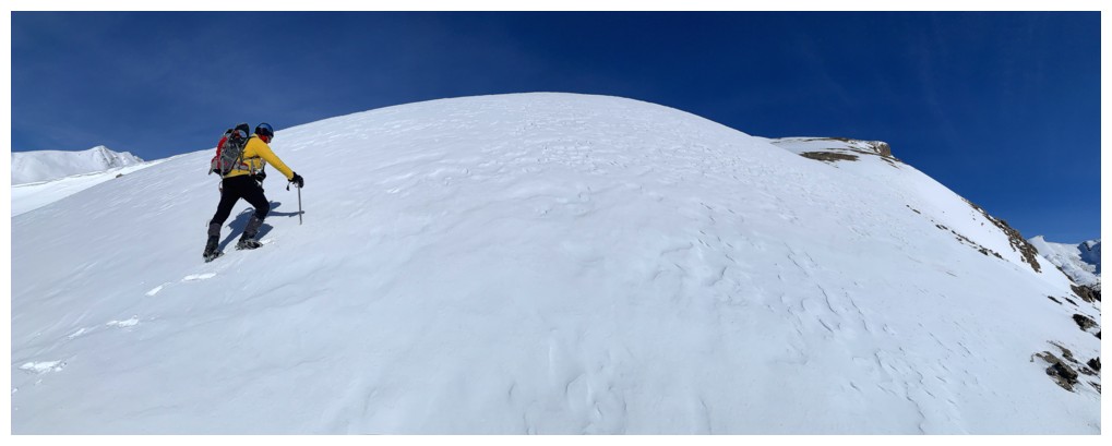
Onto gentler terrain
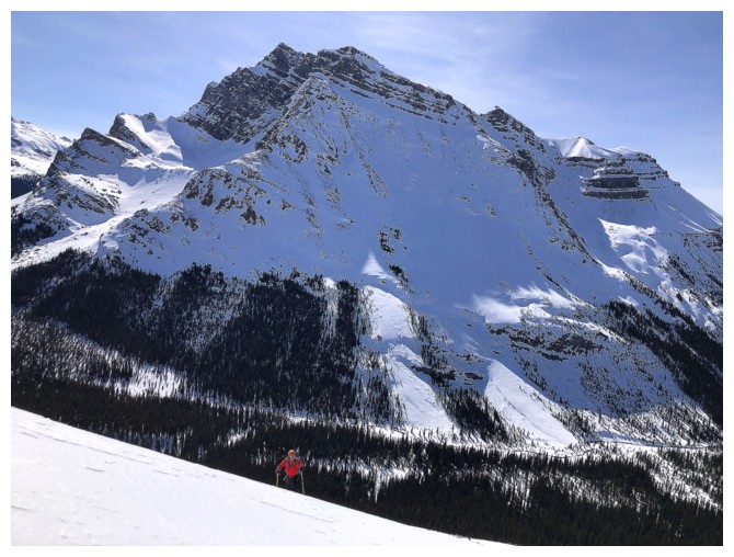
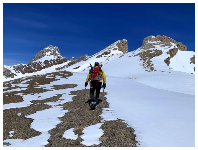
Mark takes to last few steps to reach the south/east ridge. Noseeum Peak behind.
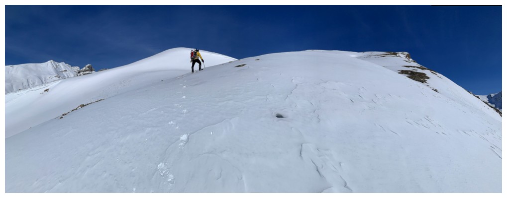
Big terrain once the ridge is reached
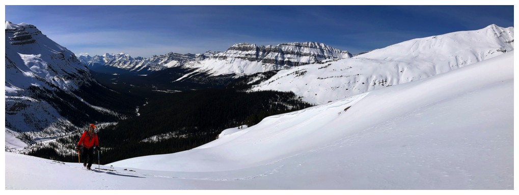
Bow Peak in the centre and the southeast shoulder of Dolomite Peak at the right
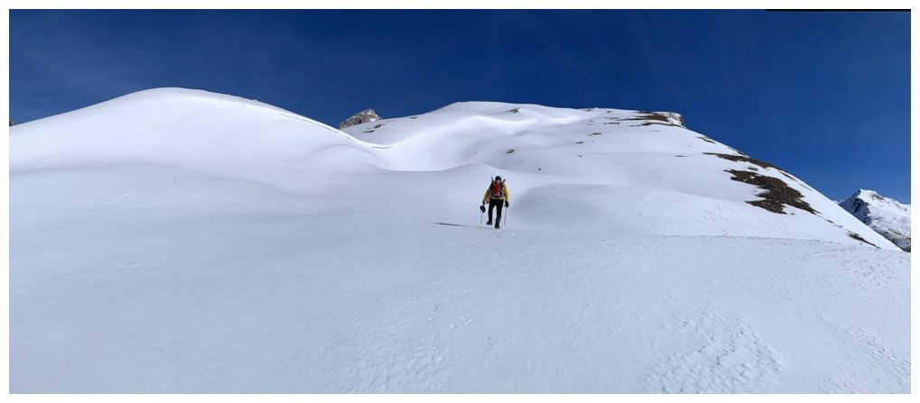
The south ridge is at the right, but first we decided to take a minor detour over to the left
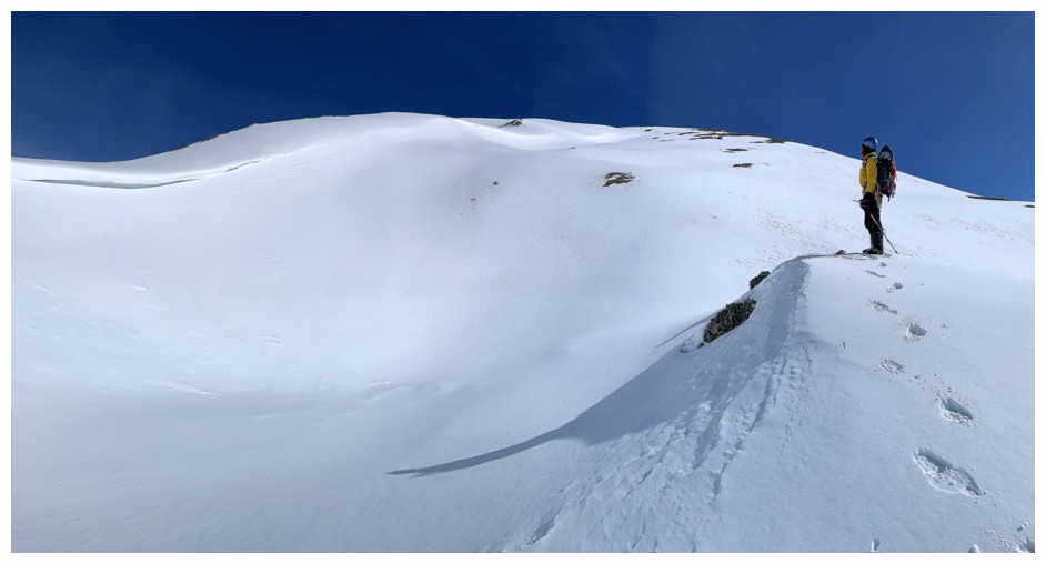
That curve of snow caught our attention
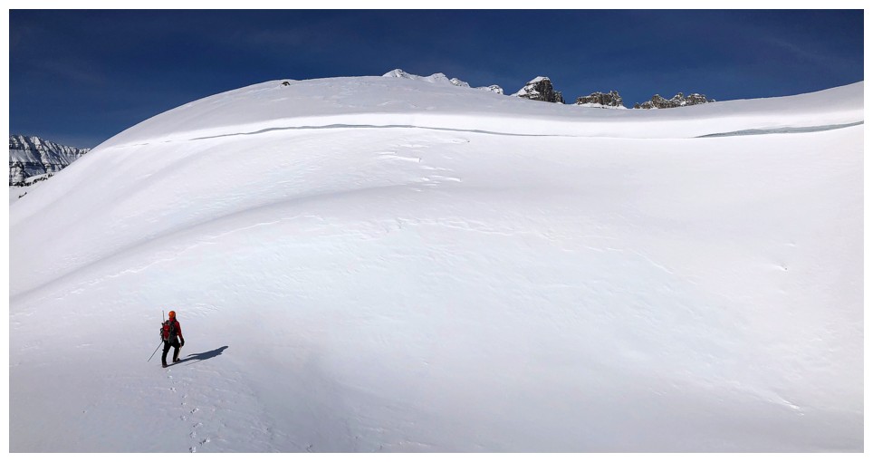
Heading over to it
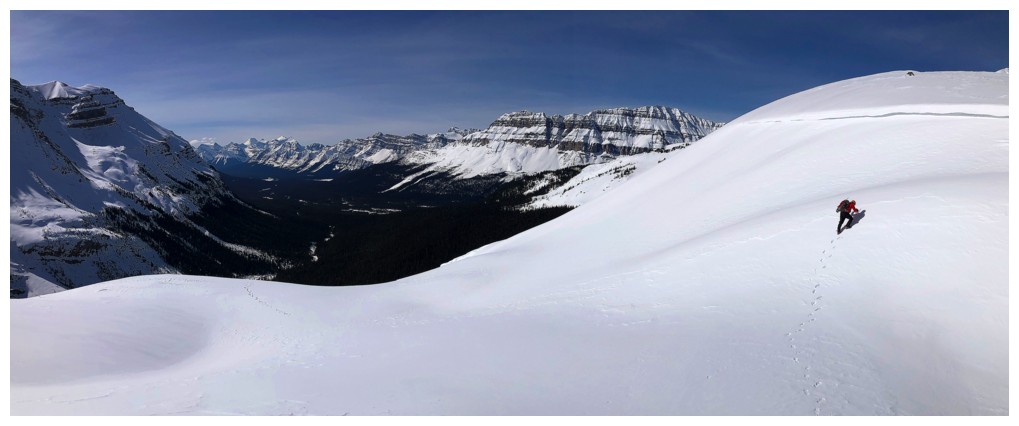
Same as above
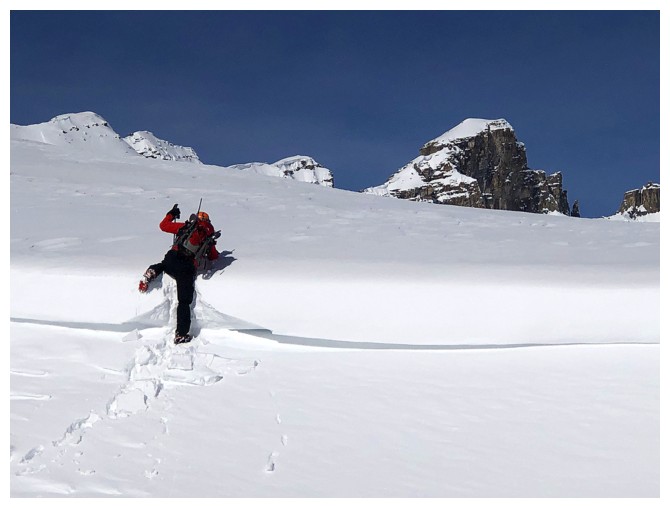
Mark climbs over a small but cool snow feature
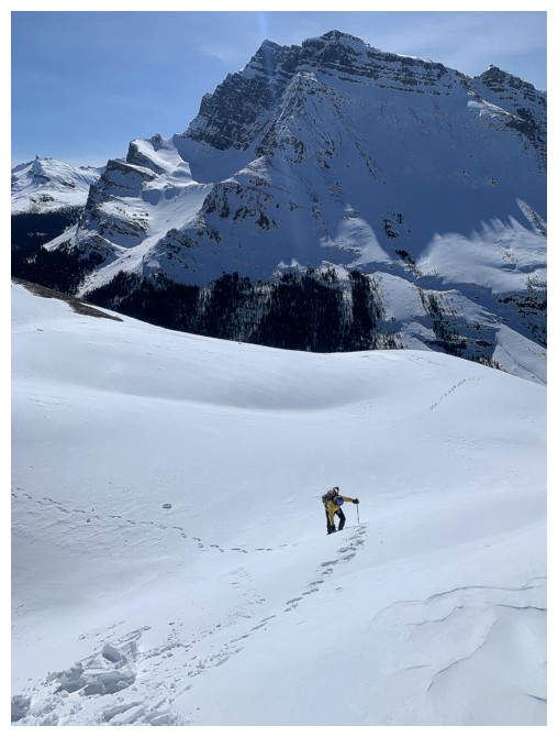
Trying to catch up
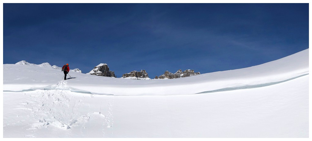
The multiple peaks of Dolomite Peak peak over the snow - that's fun to say!
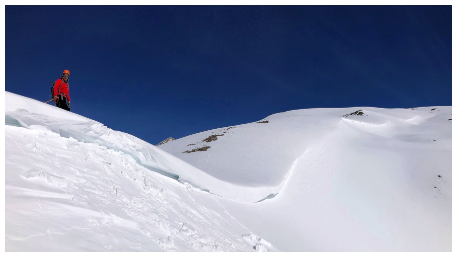
The curve of snow we were attracted to
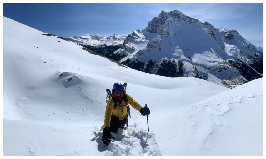
My turn to climb up the step
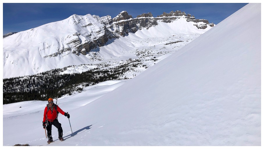
Mark and Dolomite
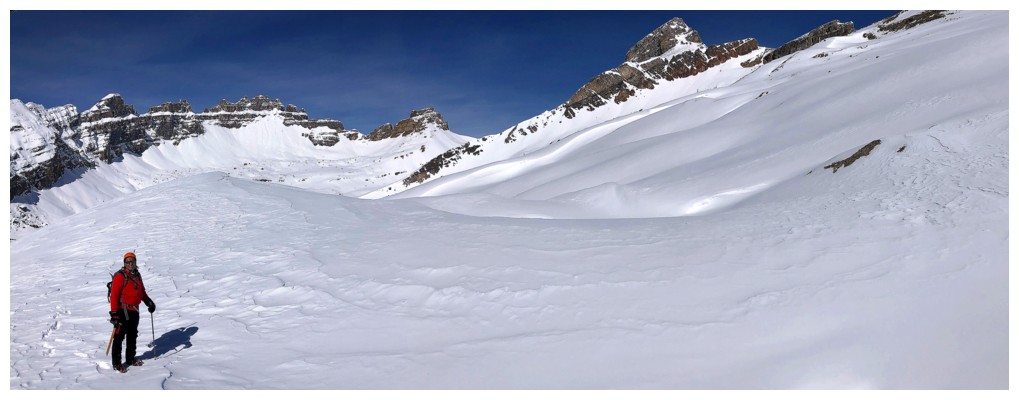
Same as above with OX Peak
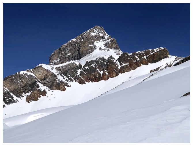
Close-up of OX - that won't be the last!
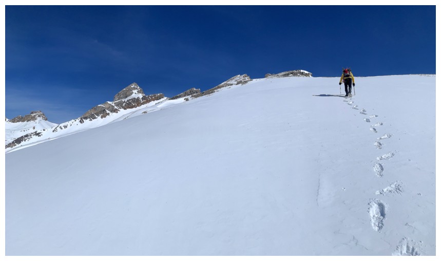
I guess this terrain is also a little steeper than it looks, as I chose the front step/side step method of ascent

Finally on the south ridge
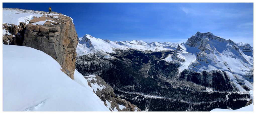
Mark's view of me

My view of him

The ridge provides multiple spots with stunning views of the ridge itself and/or the surrounding mountains
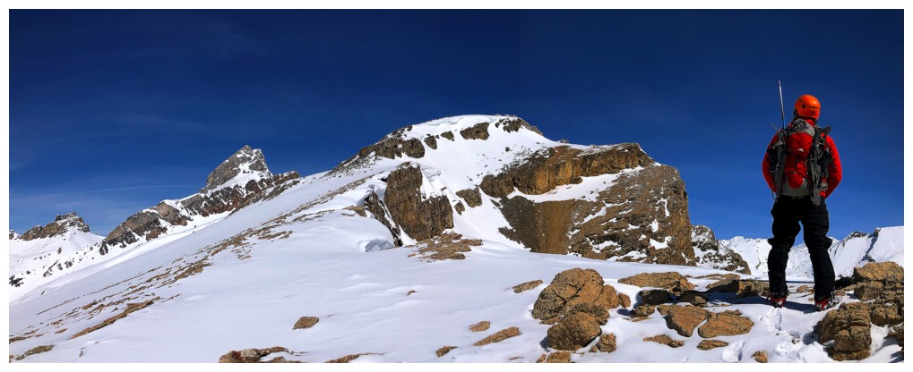
Here is one of them
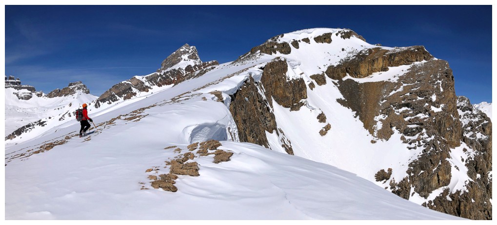
Same as above

And again
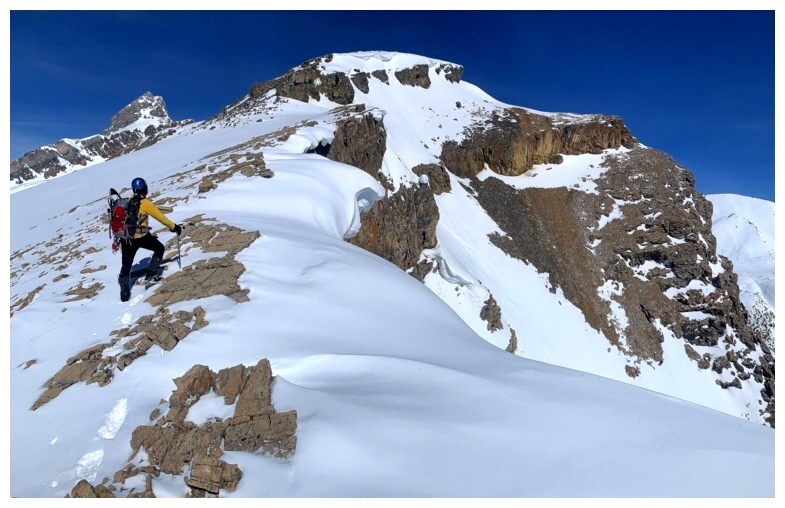
One with me
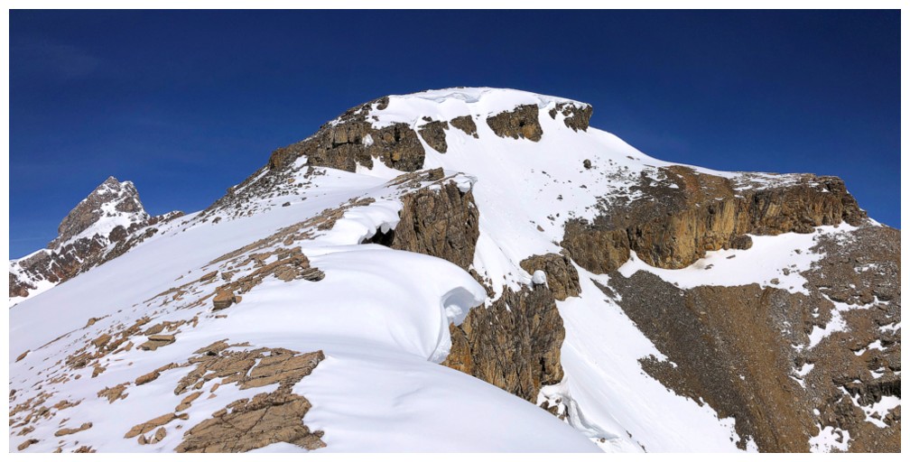
One with no one
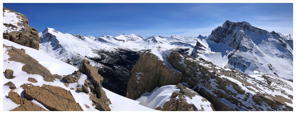
The view to the east and southeast

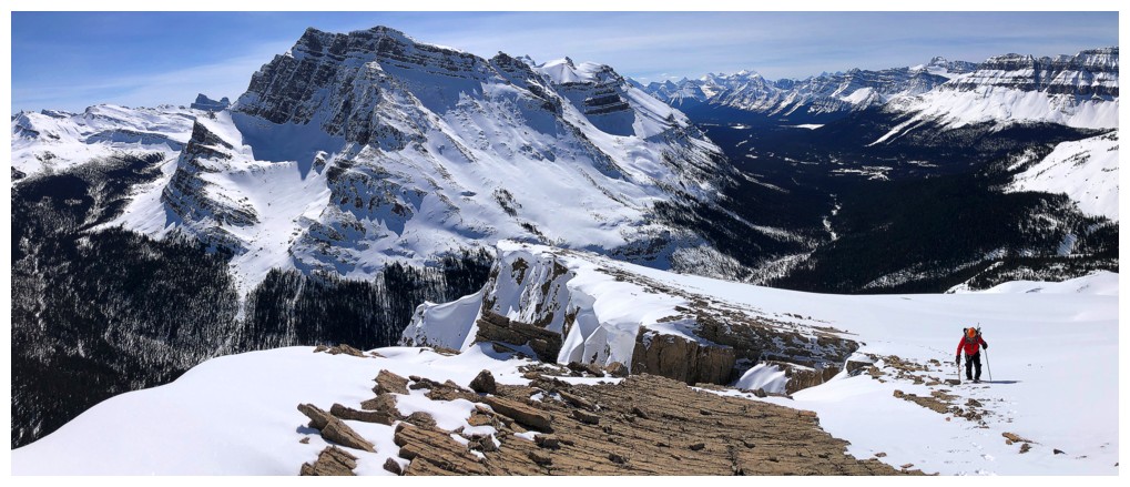
Staying near the edge of the ridge is preferable but not always possible when snow covered
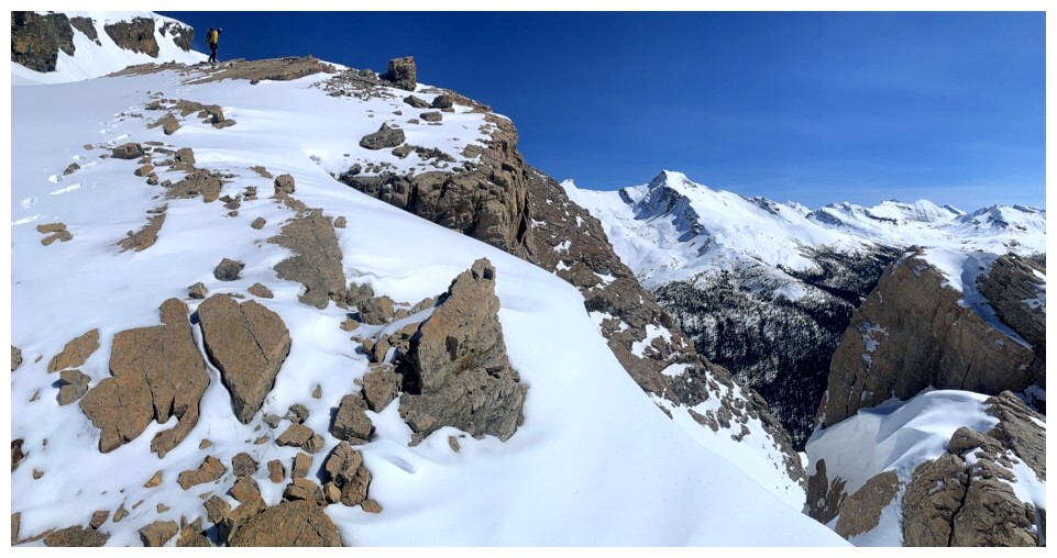
Possible here
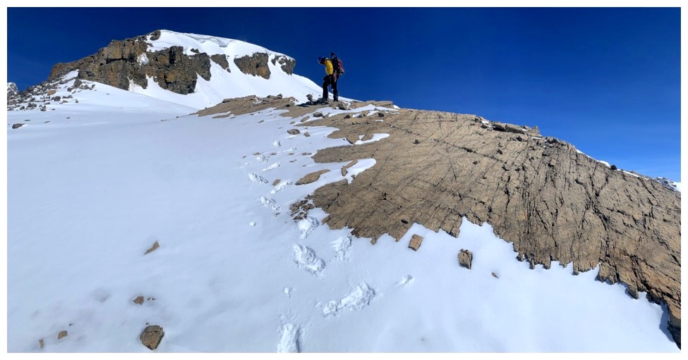
And here
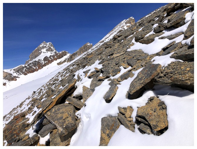
Steeper terrain further up the ridge
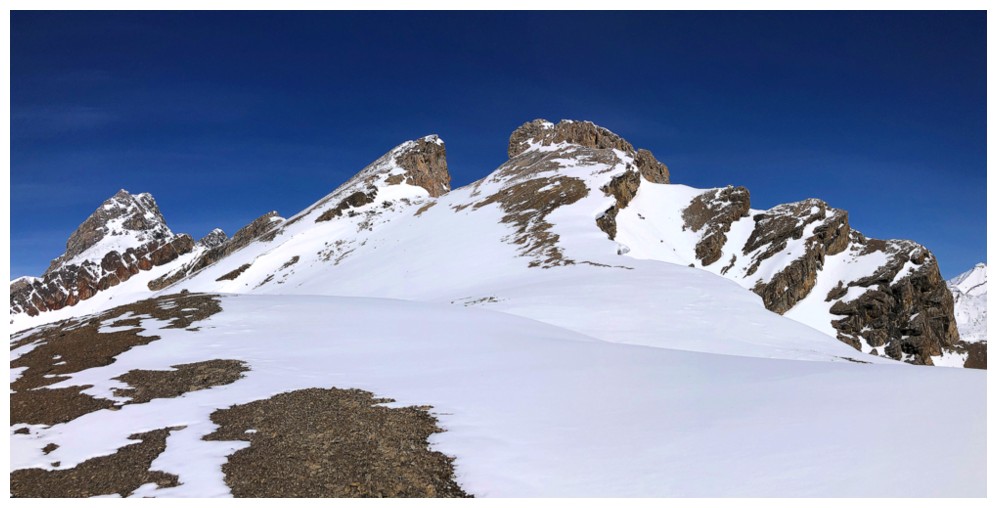
Another of those stunning views. The summit is just left of centre.
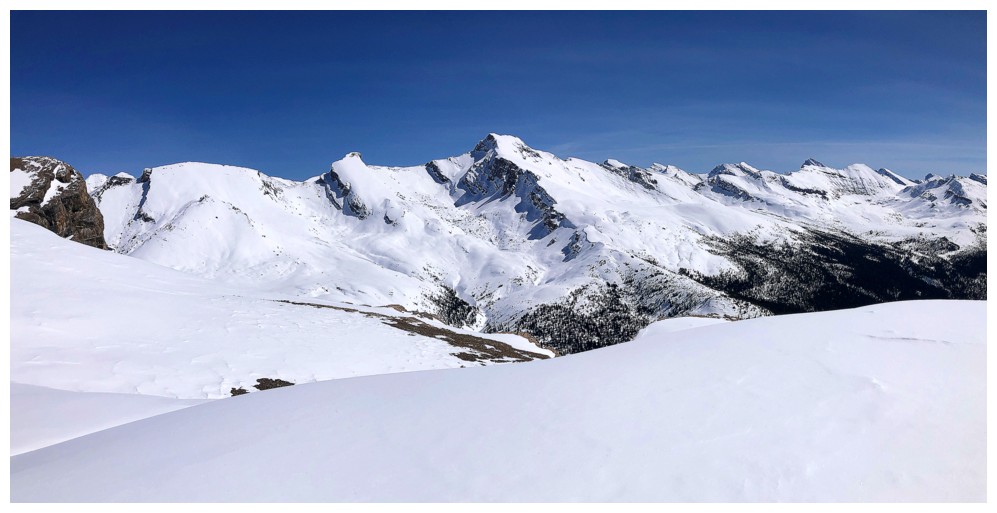
The Mosquito trio and more from a very different vantage point
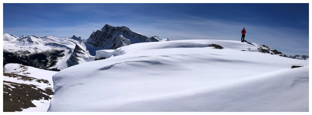
Not sure where the cornice starts here
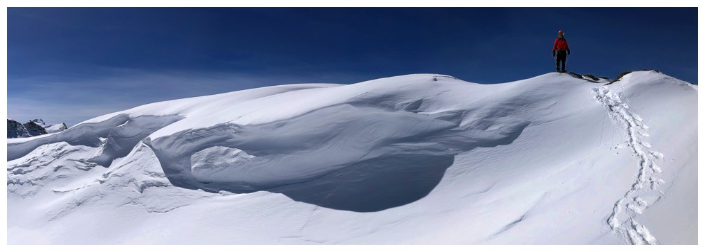
But we were giving it a wide berth just in case
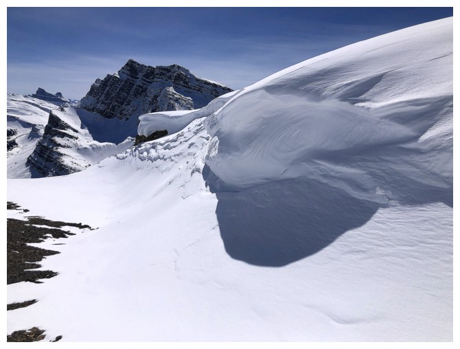
It's a low consequence cornice however
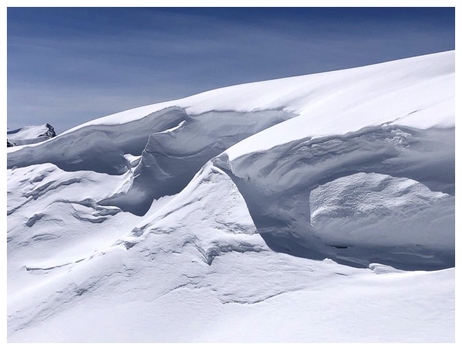
Same as above
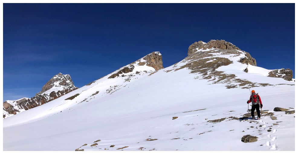
The summit looks close but it's still about 45 minutes away
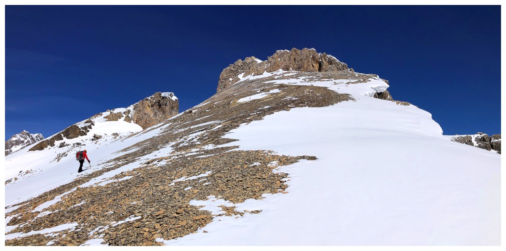
This cornice was avoided altogether
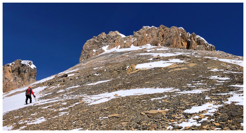
Side-sloping to the col between the two highpoints
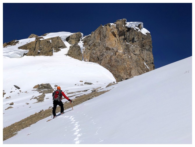
Same as above
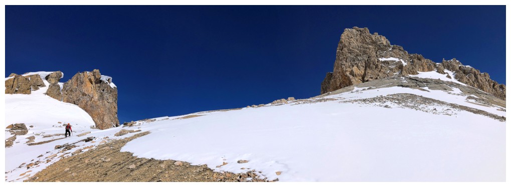
And again
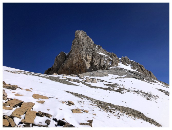
The easterly highpoint always looks very dramatic
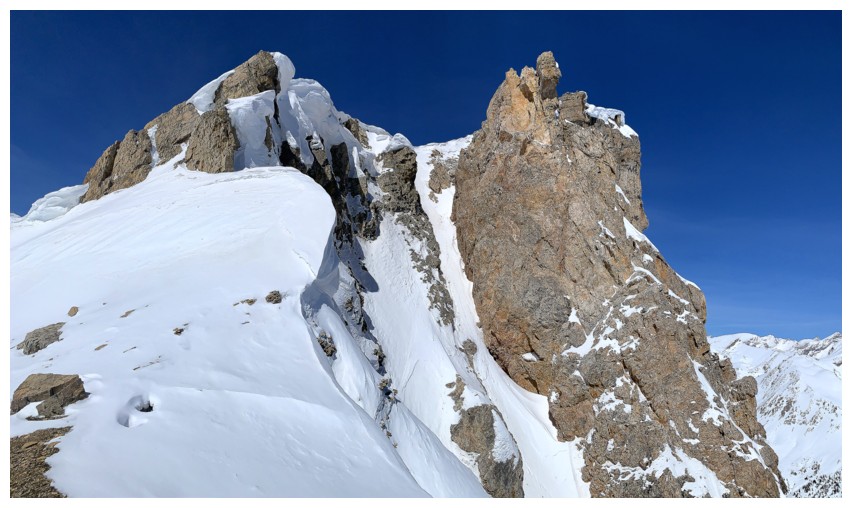
The western one is pretty cool too
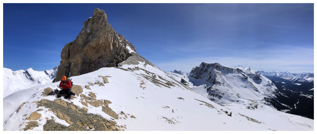
The spot between the two is fantastic and was worth a long look and a short break
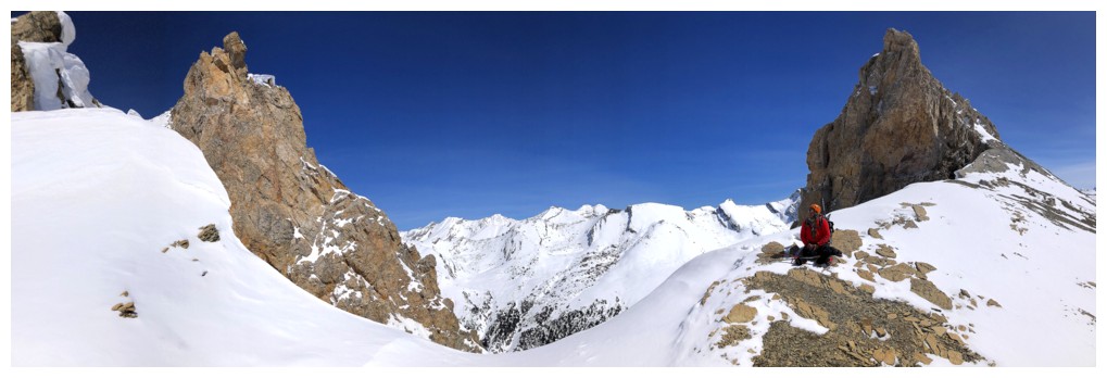
Same as above
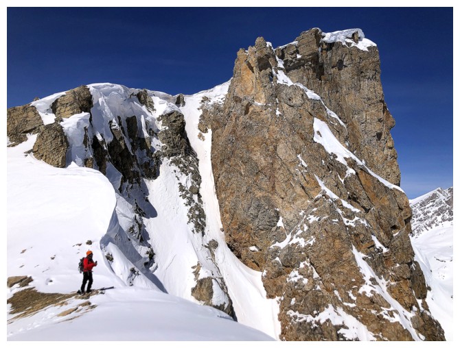
The west
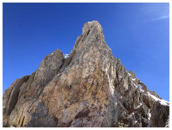
The east
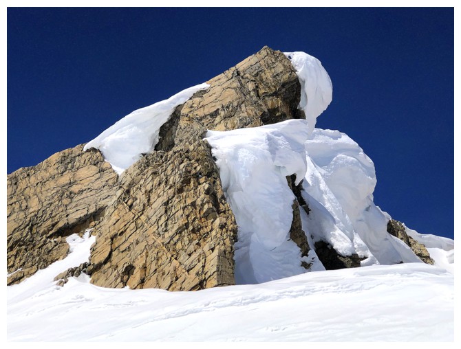
Beautiful, but there is no route up that way. A massive cornice prevents it.
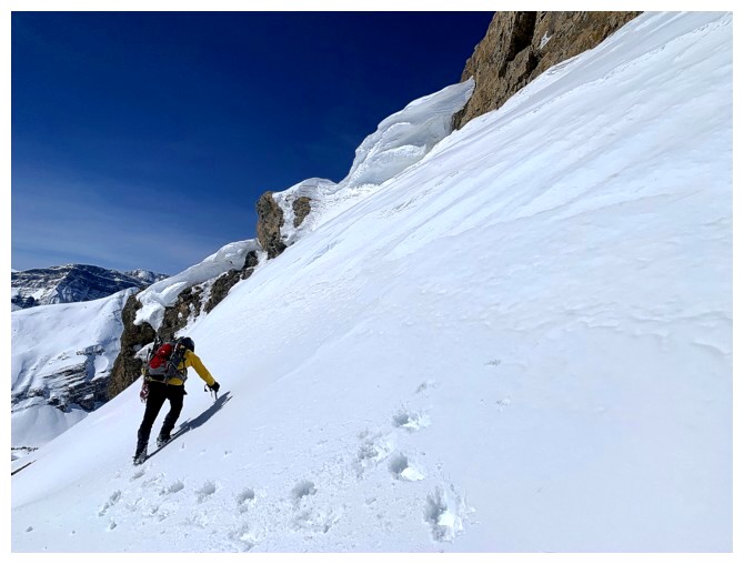
Continuing up. On December 4, 2022 I was able to sneak up the snow ramp
in the centre. However, the day's cornice made that too risky so we
went around it.
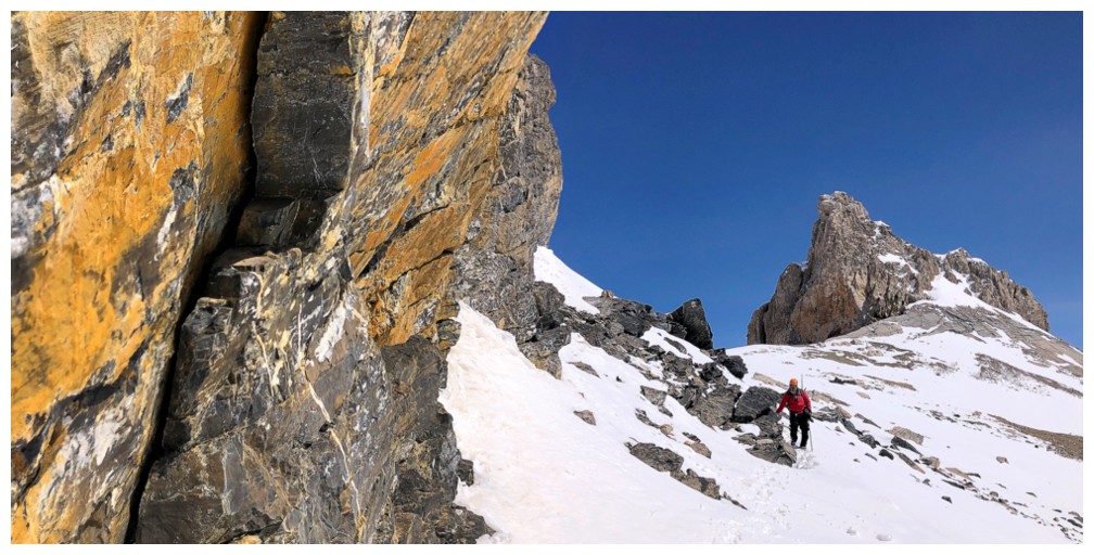
Still had to sneak around some cool rock
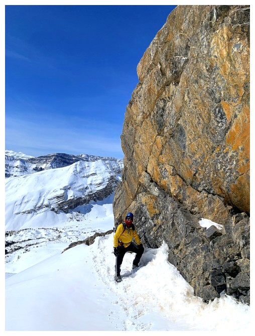
That rock
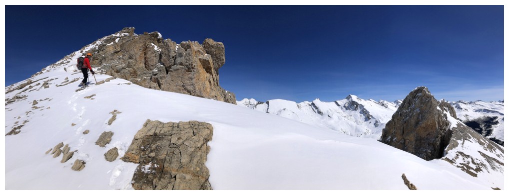
Continuing up to the next highpoint
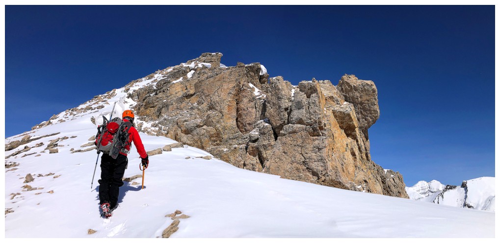
Different view of the rock of the westerly highpoint
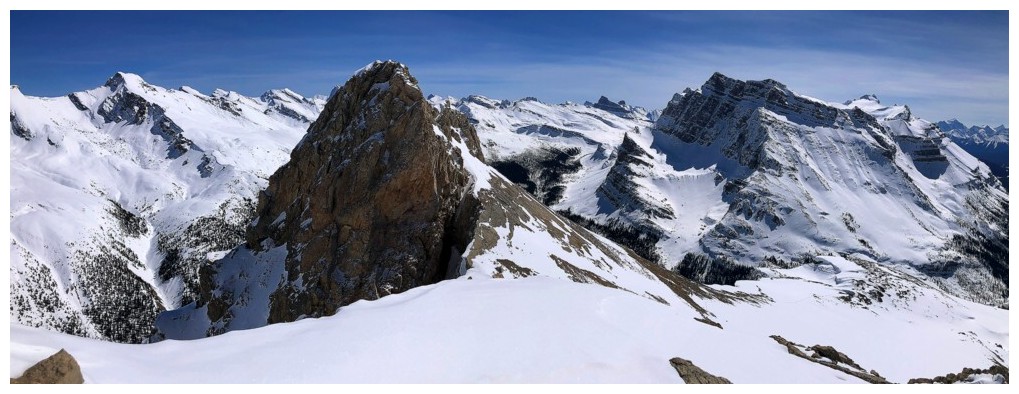
Looking back to the east
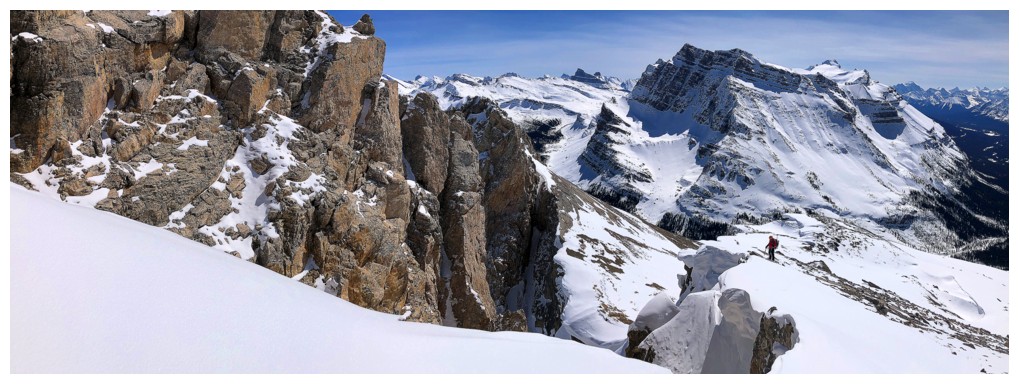
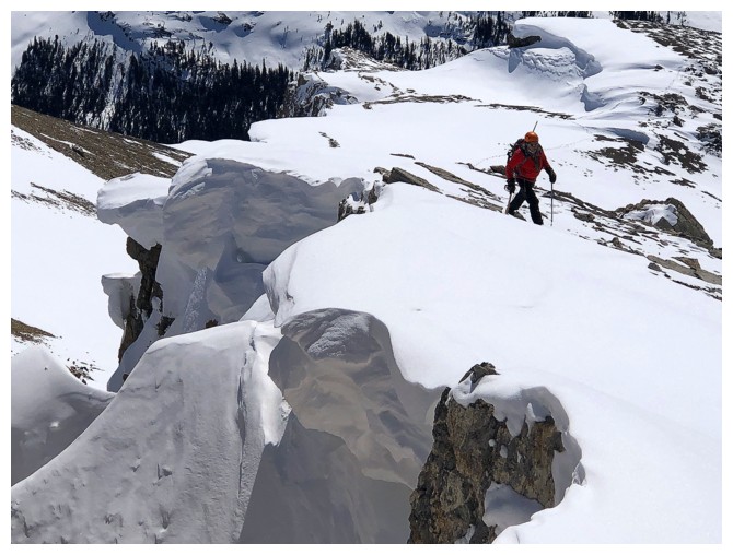
A dramatic ridge, lined with cornices make this another special part of the ascent
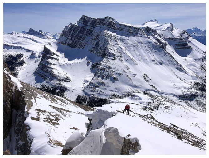
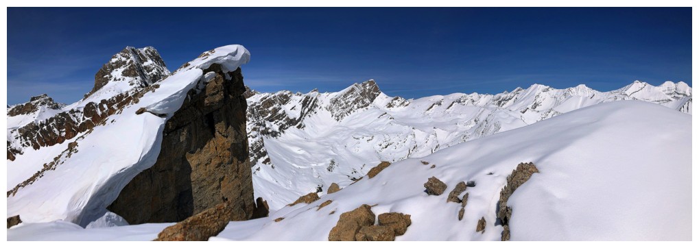
We didn't have to go to this highpoint, but it provides an amazing view of the summit of O and it's vertical northeast face
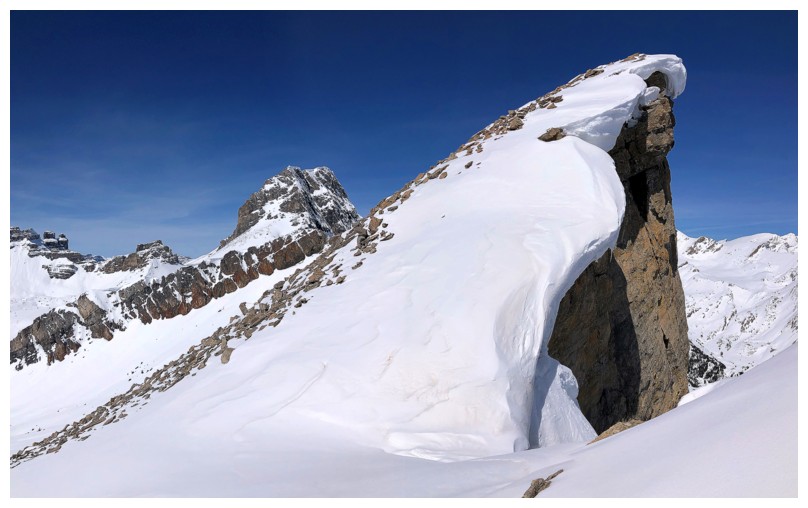
Last little stretch to the summit
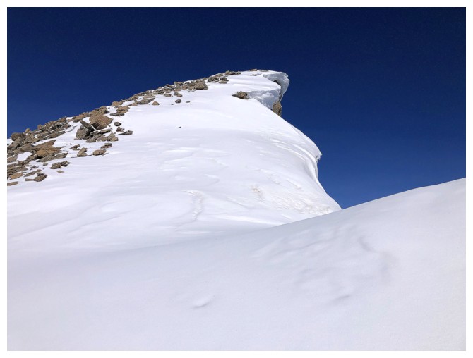
Giving this cornice an even wider berth!
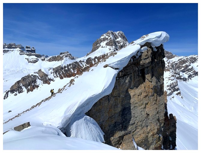
Mark's view of me heading up to the summit
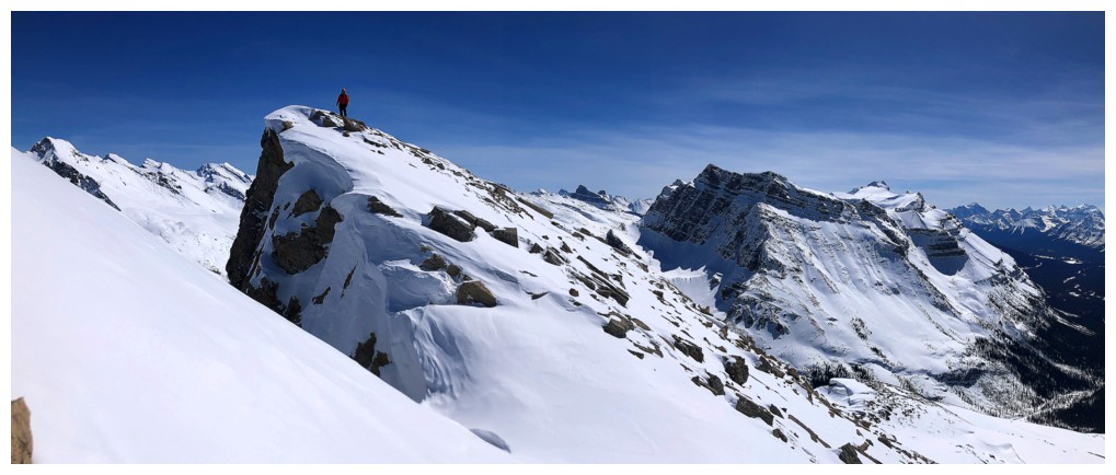
My view of him on the highpoint before the summit
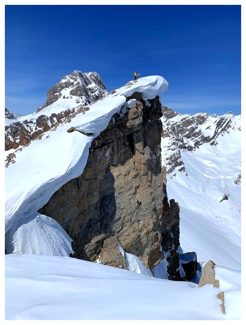
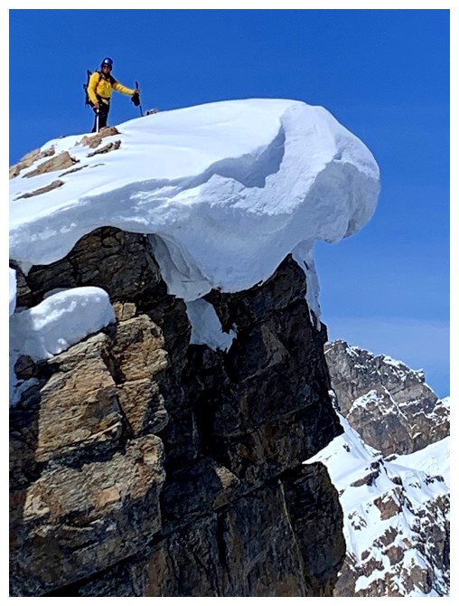
At the top
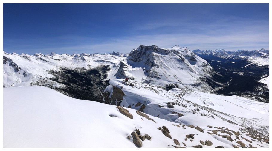
View to the east
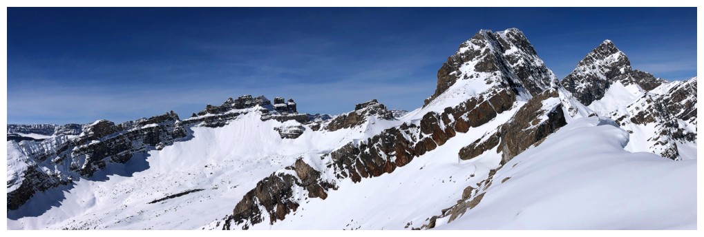
Dolomite, OX, and OXO
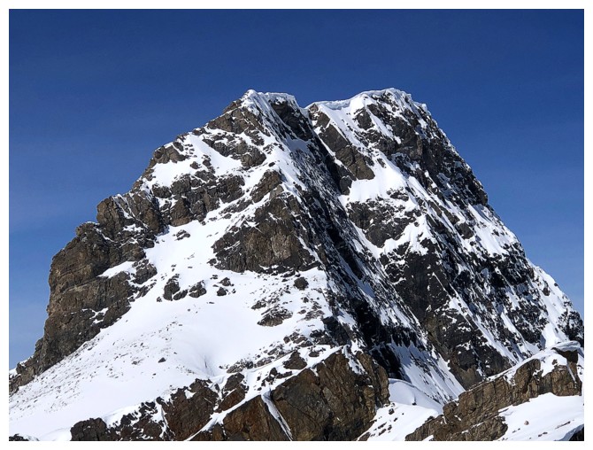
Close-up of OX
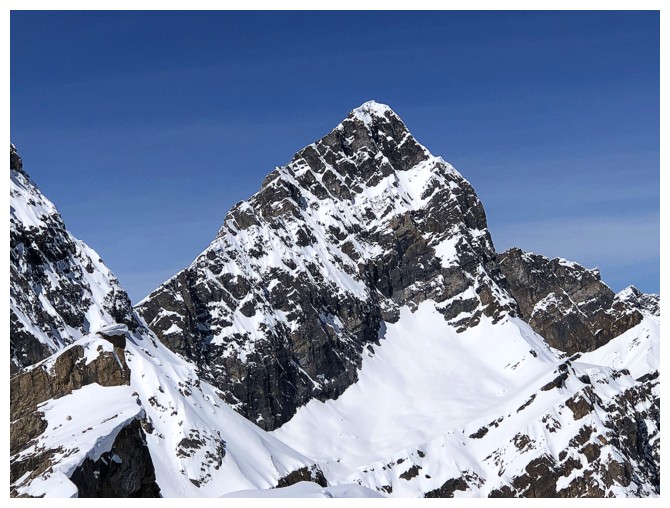
Close-up of OXO
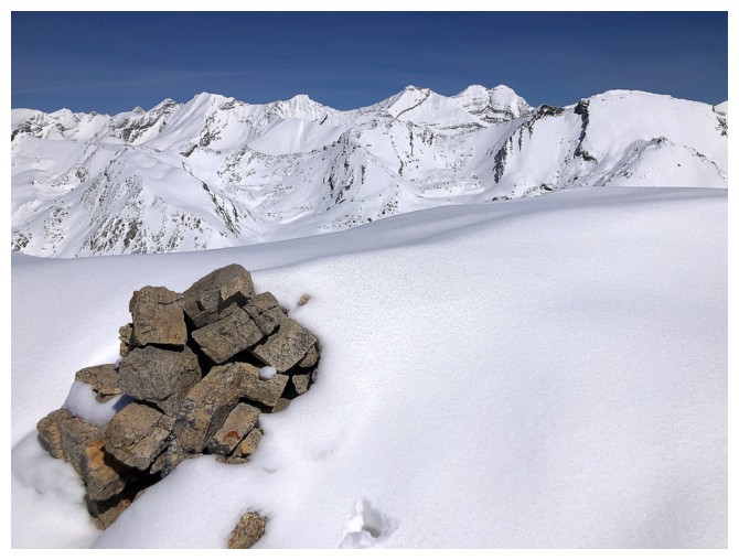
The cairn and the Willingdons
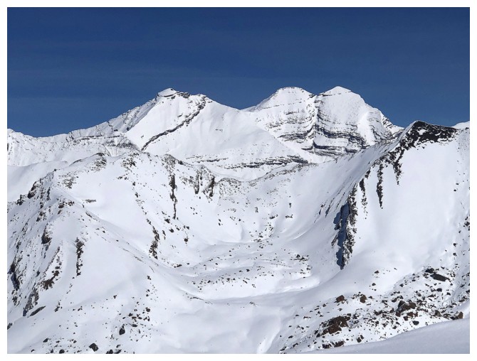
Close-up of the Willingdons
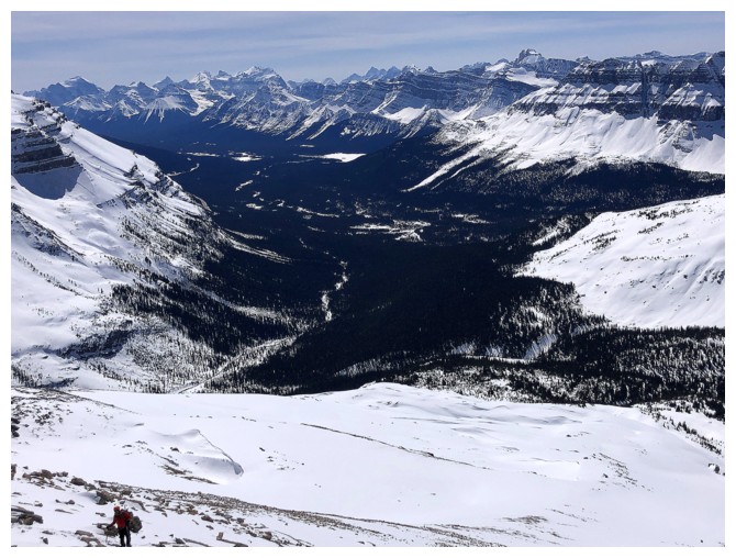
Our vehicle is somewhere down there in the middle
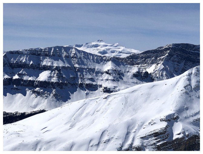
Mount Balfour
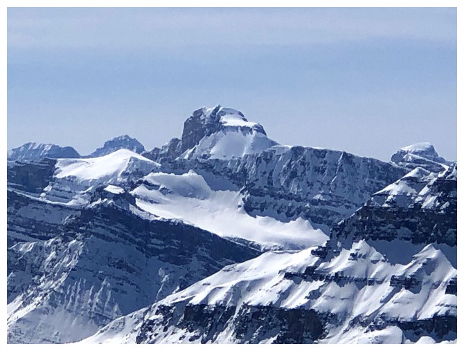
Mount Daly
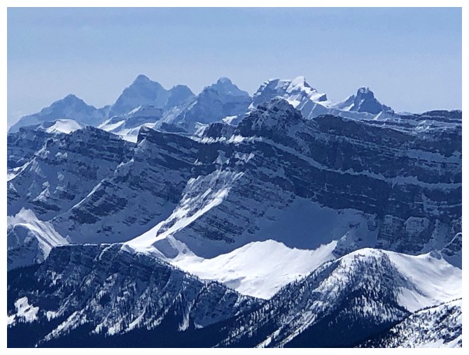
The Goodsirs and Cathedral Mountain
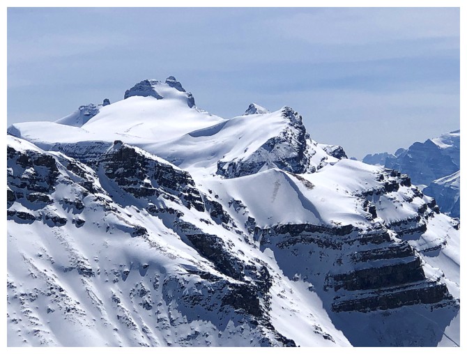
Mount Hector, Little Hector, and Mount Andromache
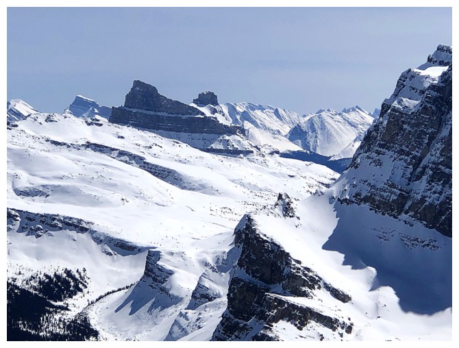
Molar Mountain and Molar Tower
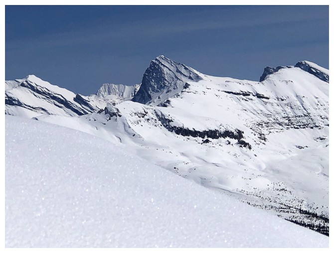
Cataract Peak
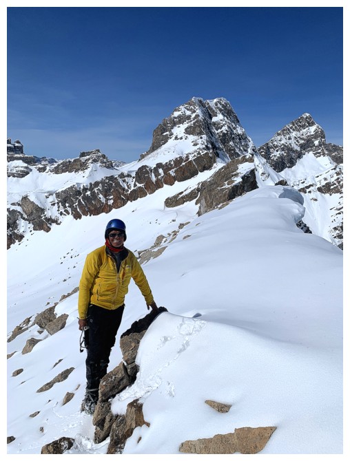
Obligatory summit pose
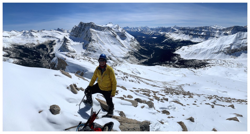
Same as above in the opposite direction
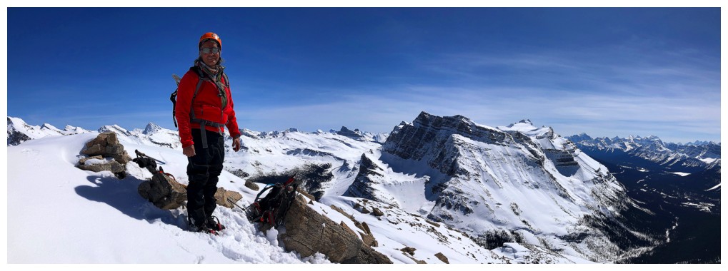
Replace one model with a slightly older one
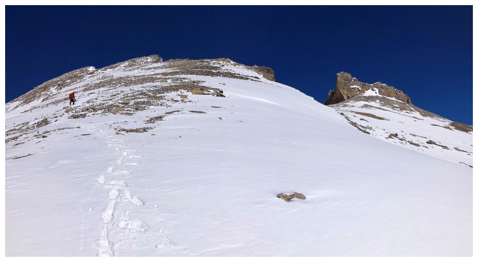
Descending via a more direct route
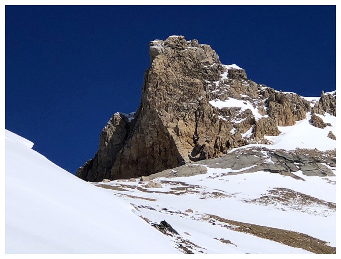
The first highpoint looks amazing from anywhere on the mountain
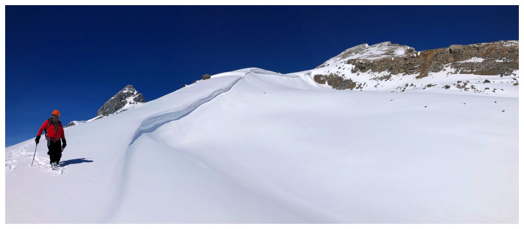
Getting back to some curves of snow
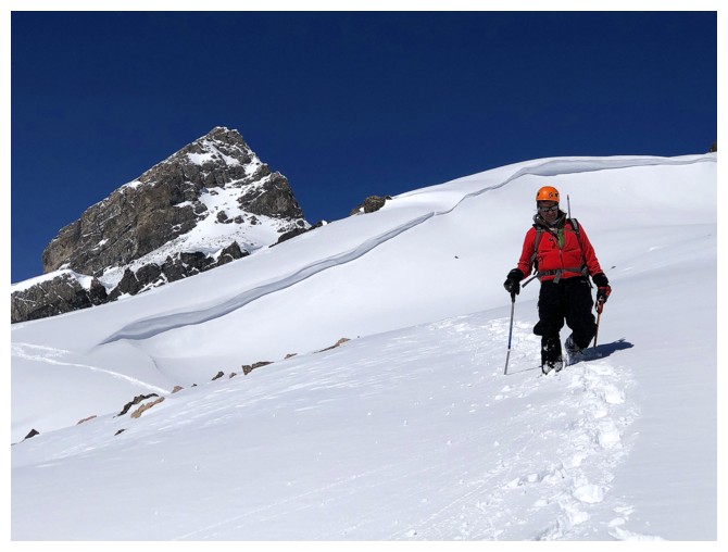
Same as above with OX
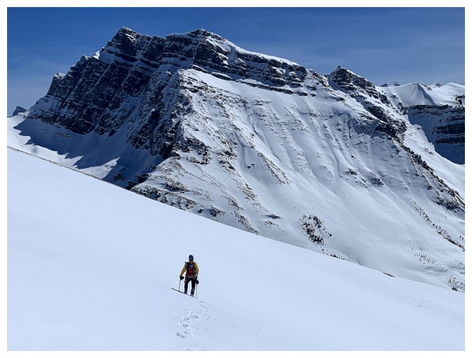
As always Noseeum Mountain is in-your-face all the way down
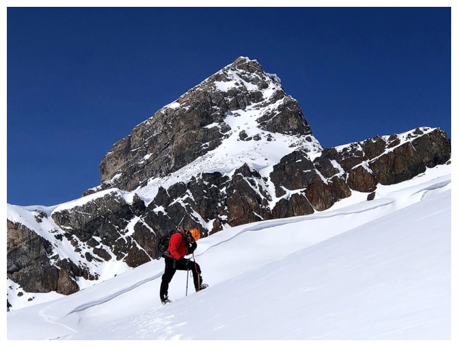
So is OX
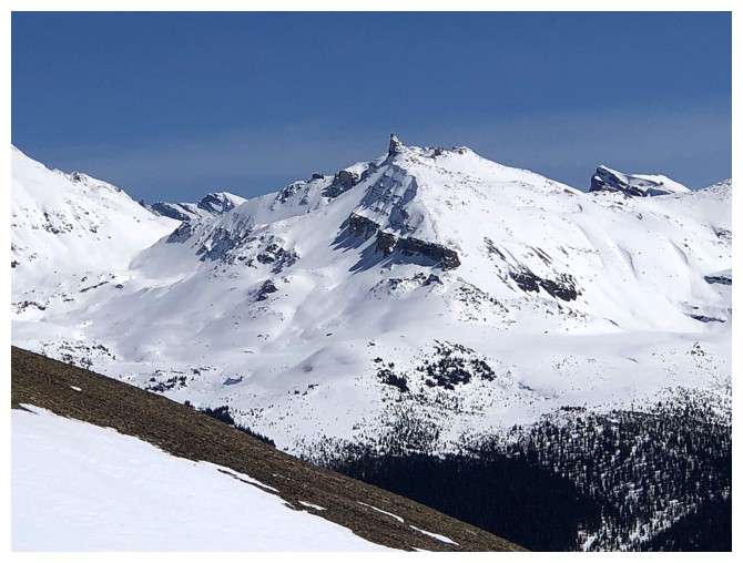
The Fang is that small pointed peak in the centre
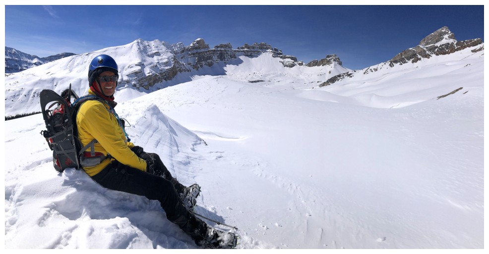
Pretty darn happy about how things are turning out
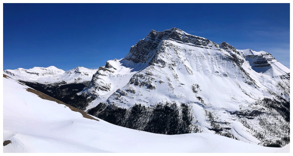
The waterfalls en route to Noseeum are phenomenal
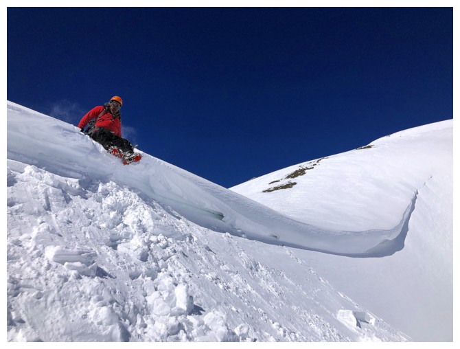
Back over that lip of snow
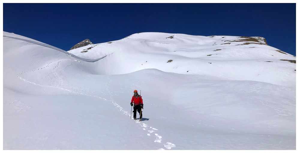
Vast snowfields and a deep blue sky - unbeatable!
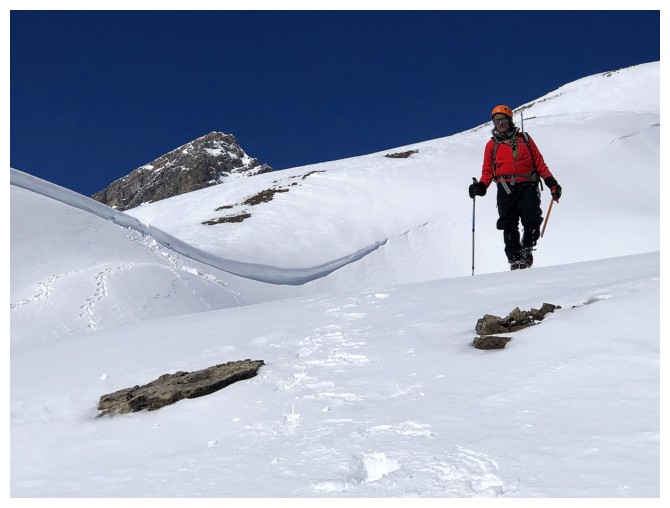
Same as above
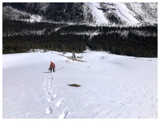
Heading back down to the Mosquito Creek Trail
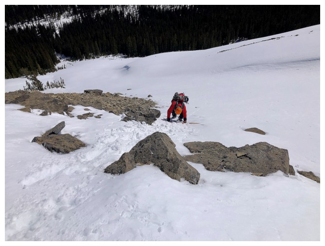
It's steep enough here to warrant facing into the slope
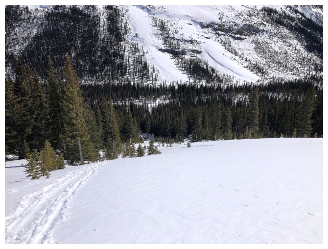
Mark has disappeared because he's glissading
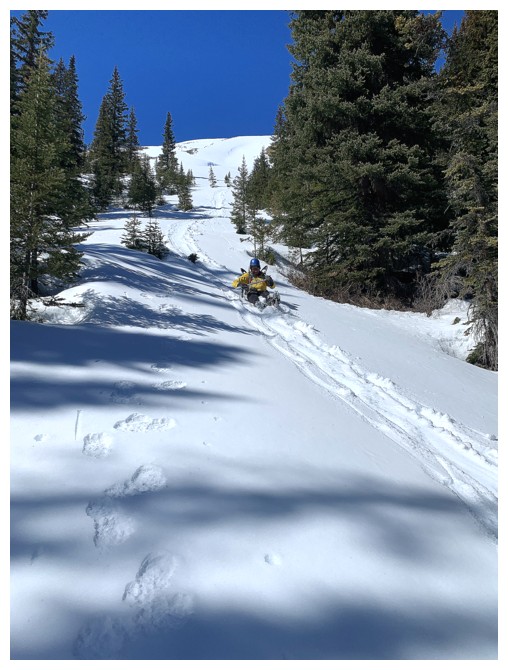
My turn to glissade
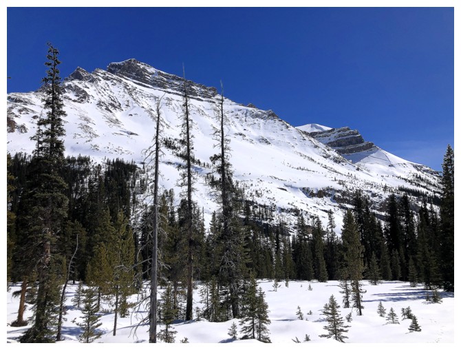
The northwest side of Noseeum
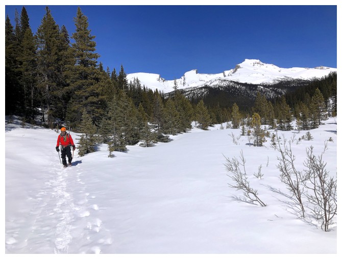
The Mosquito trio look a little better later in the day
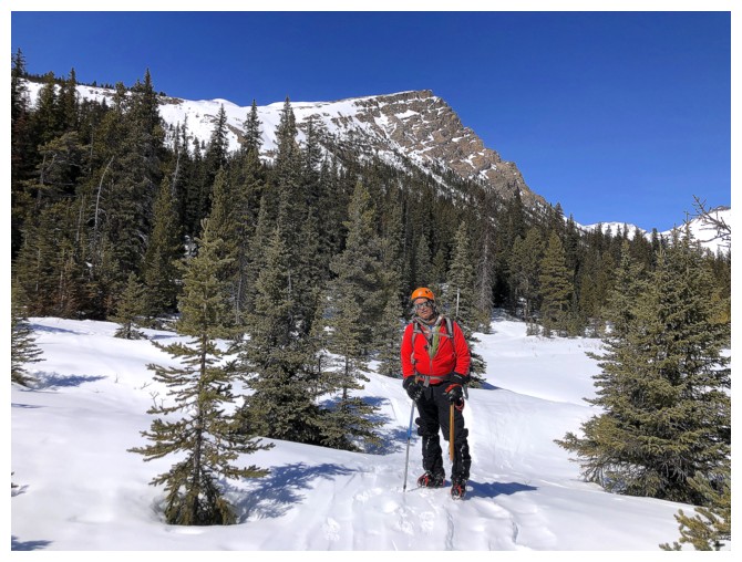
So does the south ridge of O
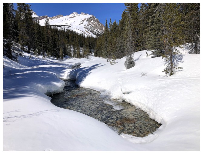
Back to the spot where O Peak first appeared
The End
LOG