Picklewood Peak
July 30, 2025
Mountain height: 2645 m
Elevation gain: 950 m
+ 150 m for alternate descent route
Ascent time: 3:15
Descent time: 3:50
Solo scramble.
The “when I can
think of nothing else” after a failed attempt of Picklewood Peak came a little
sooner than I thought it would. 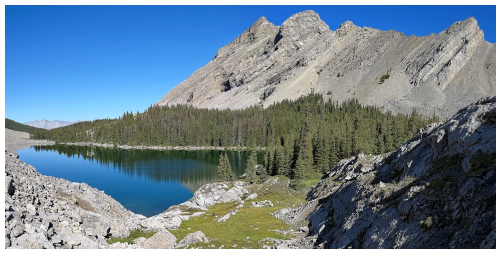 27 days elapsed and then I was back for round
2. This time I would try via to gain the col south of the summit from the
Picklejar Lakes and scramble up the south ridge to the top.
27 days elapsed and then I was back for round
2. This time I would try via to gain the col south of the summit from the
Picklejar Lakes and scramble up the south ridge to the top.
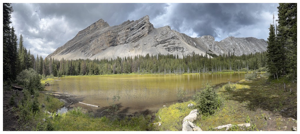
The lakes were
particularly stunning, boasting terrific reflections of the south end of South
Highwood Peak. Once past the lakes I made my way over to the ascent slopes that
would lead to the col between Picklejar Peak and Picklewood Peak. From below
they looked steep but doable. I picked the least steep line I could find,
enjoying some sections of well-textured slabby rock and not enjoying others of
choss and rubbish rock. There was one particularly nasty section that I would
definitely be avoiding on descent. Nevertheless, I soon reached the ridge and
hiked/scrambled easily to the summit, a short distance away.
For a low
mountain, surrounded by much higher ones, the summit view was unexpectedly
rewarding. Picklewood probably boasts the best view you can get of all four
Picklejar lakes, but it has so much more – excellent views of Picklejar Peak,
Mount Lineham, Highwood Peak, Junction, Pyriform, and the Dogtooth Mountains,
to name a few. 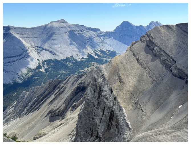 Also intriguing was the ridge and minor highpoint immediately
northeast of Picklewood.
Also intriguing was the ridge and minor highpoint immediately
northeast of Picklewood.
Though
rewarding, my summit stay wasn’t long. An alternate descent route had already
seeded itself in my head – one that would be significantly longer than my
ascent route, but much safer and offer different scenery and views. The plan
was to lose a little elevation around the east side and then side-slope all the
way around the mountain, ending up near where I attempted the peak from in
early July.
As soon as I
left the summit, a run over to that northeast highpoint became mandatory. It
provided some cool views but also made me regret that I didn’t have more time
to explore. Resuming the route, I then embarked on a grueling and ultimately
self-defeating side-sloping slog towards the northwest side of the peak. In
short, the terrain was horrific, with a nasty habit of rearing up to alarming
angles as I approached what I thought would be the key to getting around the
peak without losing a significant amount of elevation. Eventually, I ended up
losing it all, thus negating any side-sloping benefit. Once back up to more
familiar surroundings, the descent went with relative ease. I took exactly the
same route as I had done on July 3.
Overall, an
excellent day out on a peak that will likely only see me once!
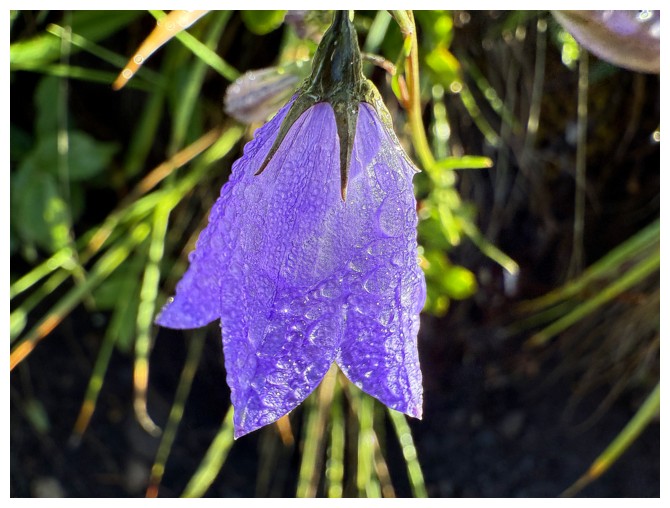
Precipitation on a Harebell
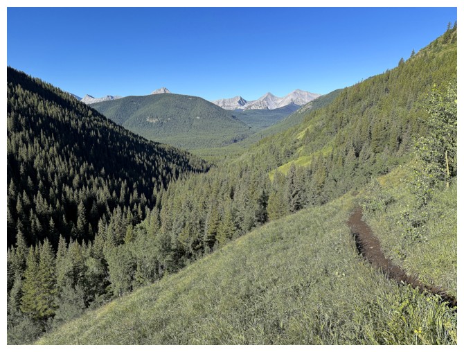
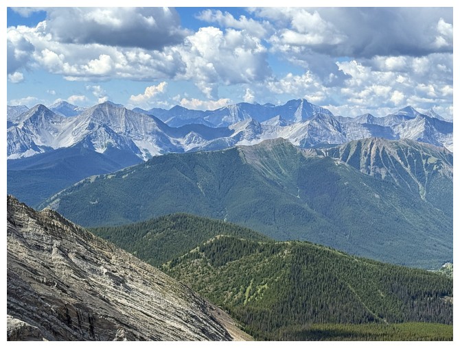
Distant peaks on the Continental Divide from the trail
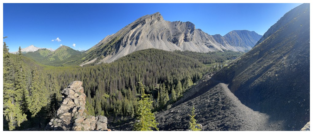
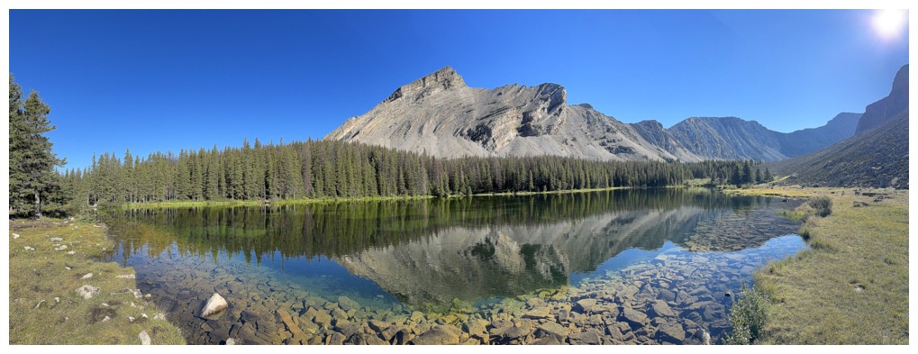
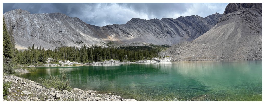
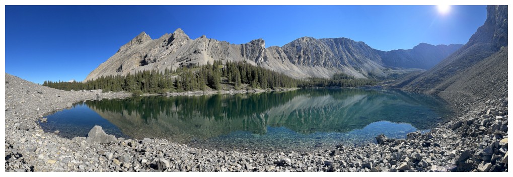
The rewarding view of South Highwood Peak, just before the trail descends to the Pickelejar Lakes
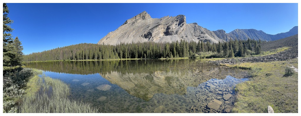
The even more rewarding view of South Highwood Peak reflected in the first lake
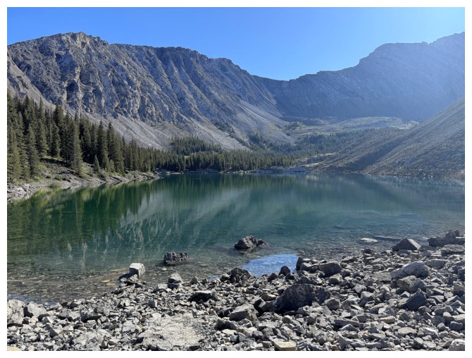
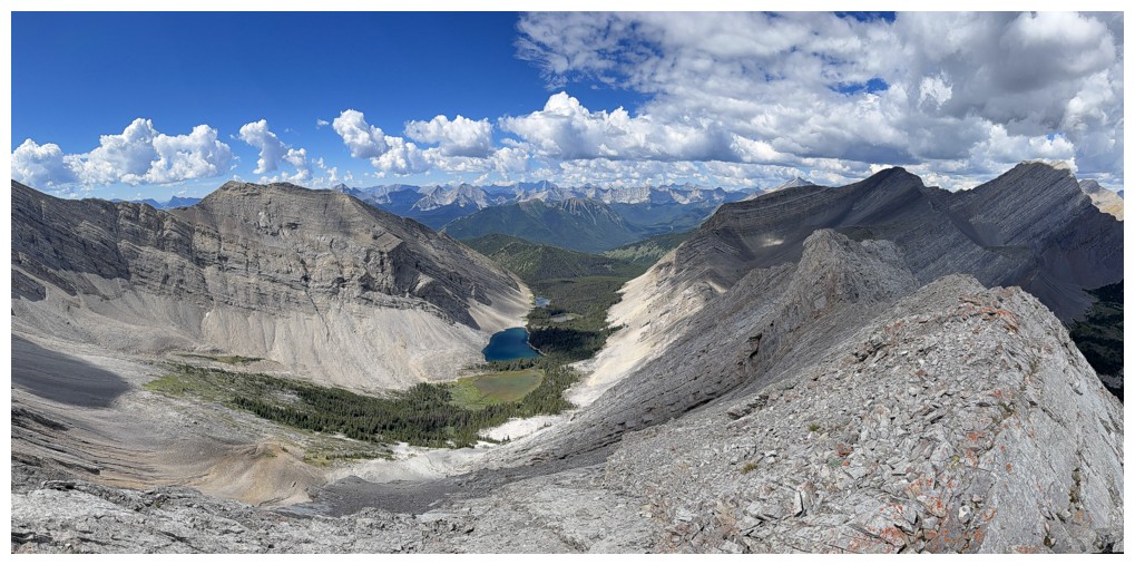
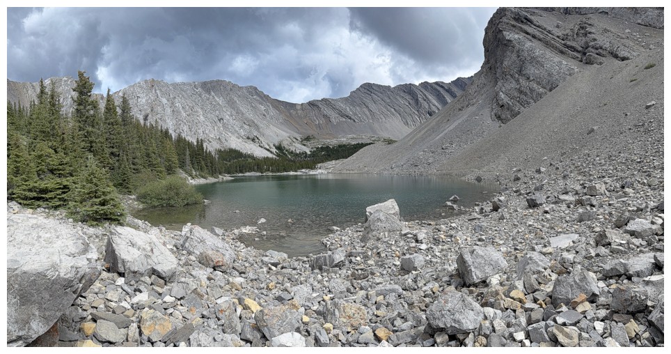
The third lake and Picklewood Peak
And more reflections
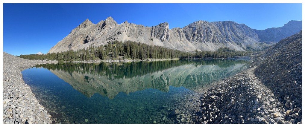
Same as above
Red argillite, cornices, and lake reflections are my holy trinity of the mountains!
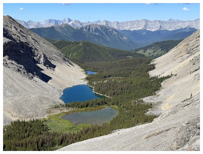
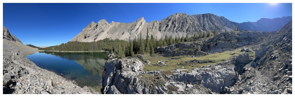
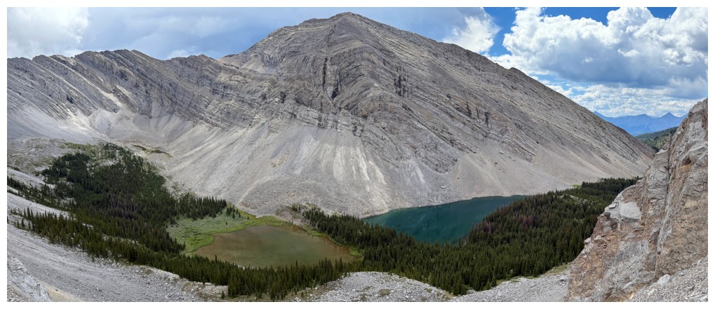
Now overlooking the fourth and third
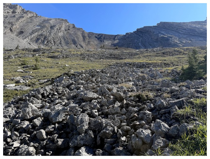
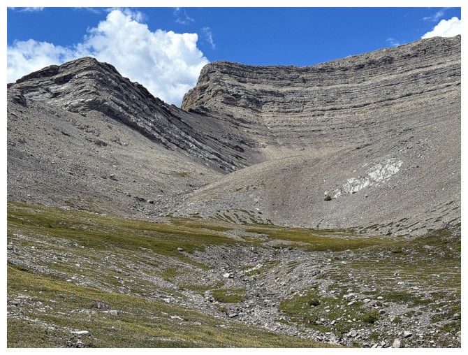
Aiming for the slopes below the col between Picklejar Peak and Picklewood Peak
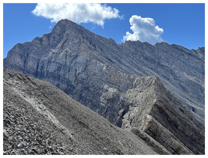
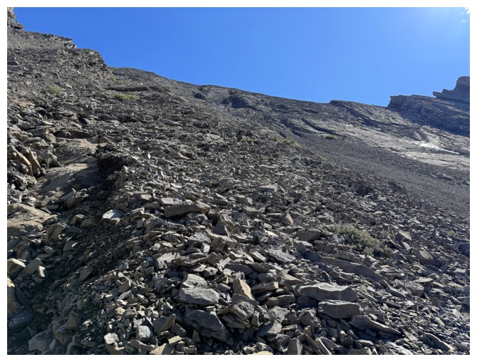
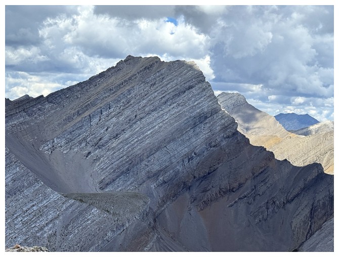
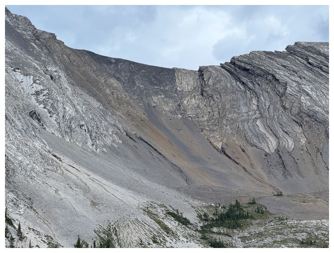
Close-up of the ridge I would have had to negotiate on attempt #1. Doesn't look like a scramble.
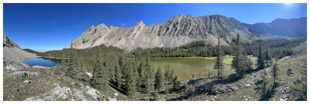
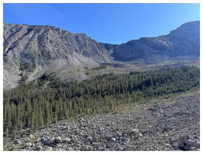
Through an easy section of forest with the ascent route dead ahead
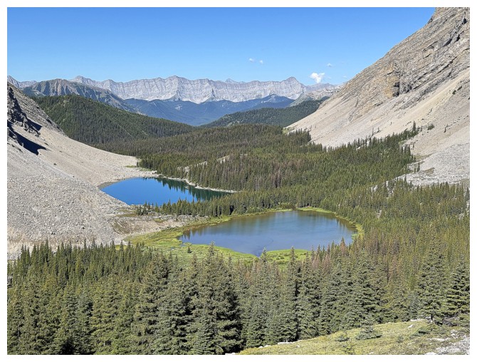
Only two of four lakes are visible at this elevation
Still hiking to the base
Still only two
The base is not as close as I thought!
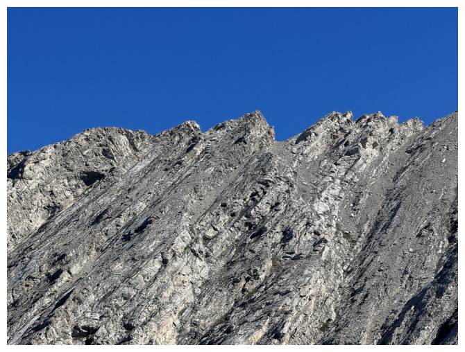
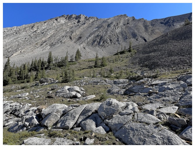
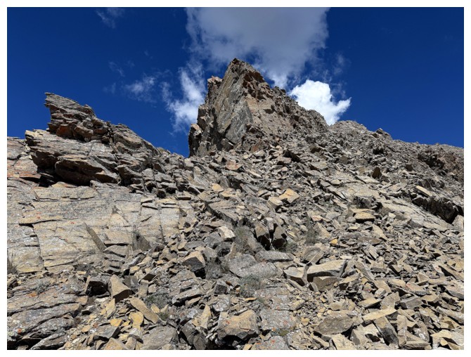
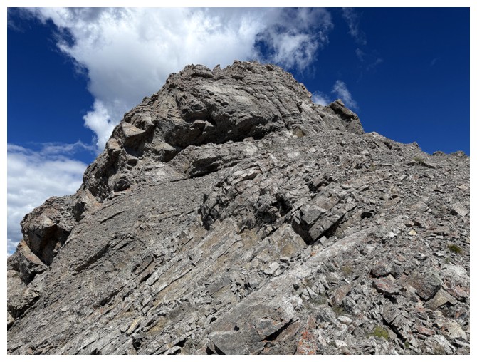
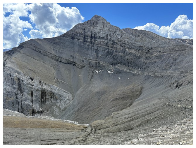
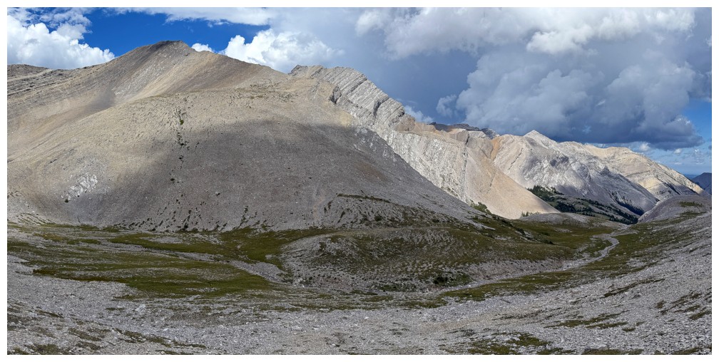
Finally heading up. Typical terrain on the main ascent slope. It's steeper than it looks.
Better representation of the angle
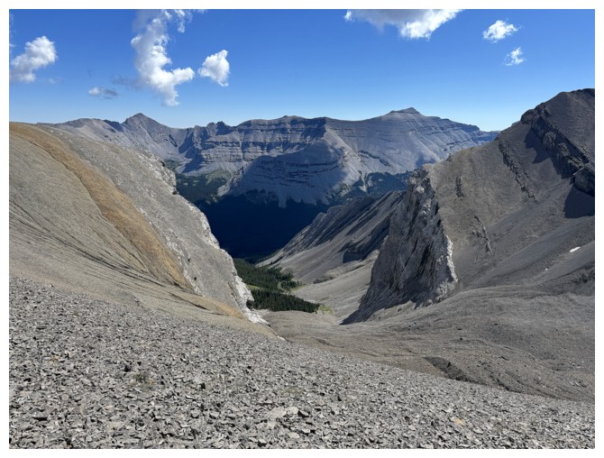
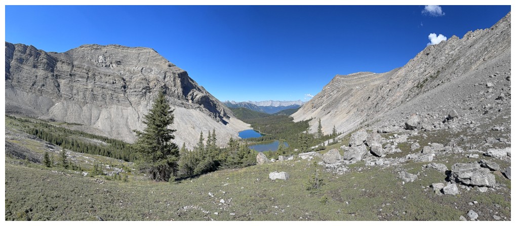
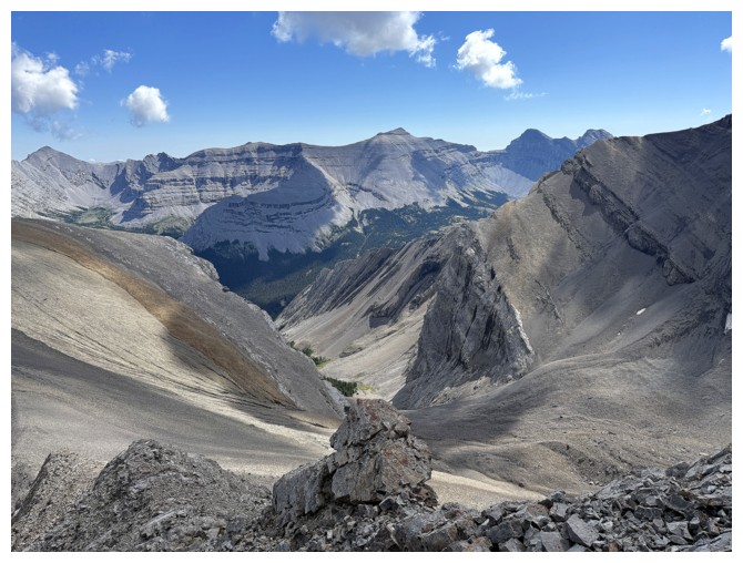
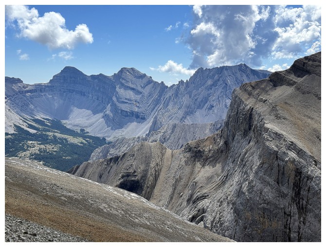
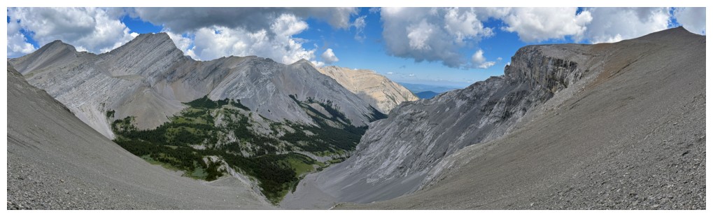
The view to the east from the col
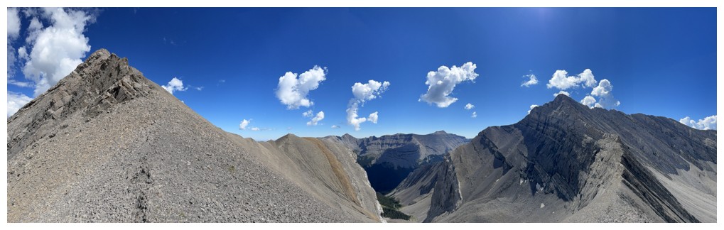
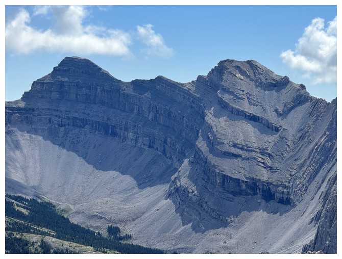
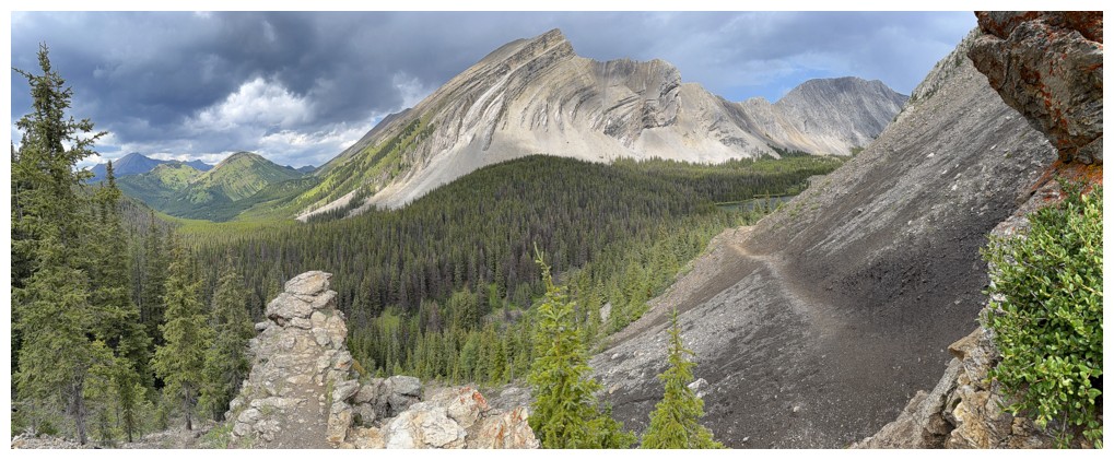
Picklewood (left) to Picklejar pano
Picklewood only
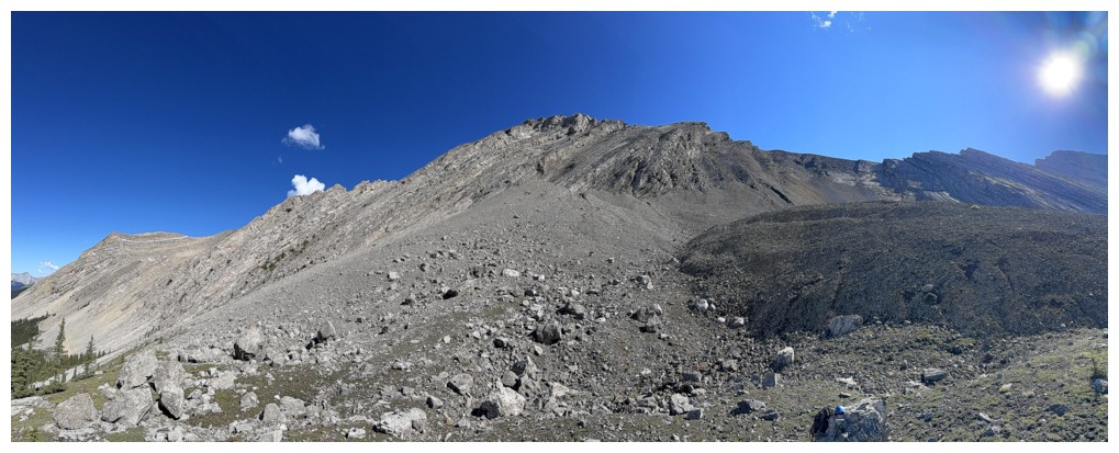
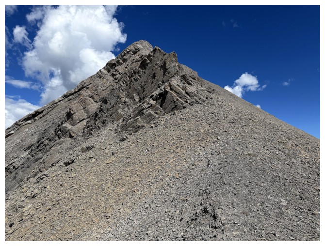
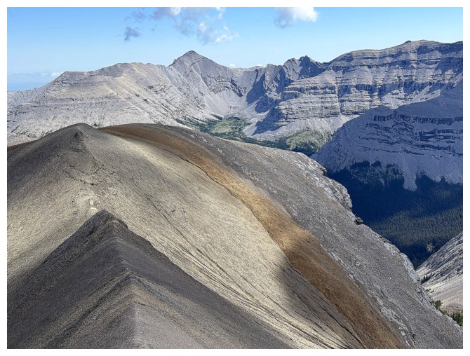
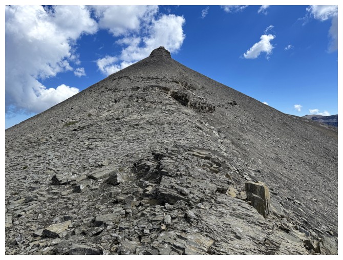
Just an easy rubble slog to the summit with some interesting rock bands on the ridge
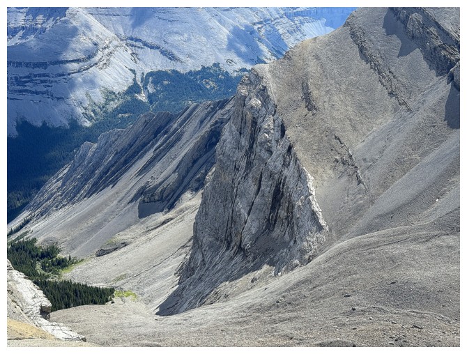
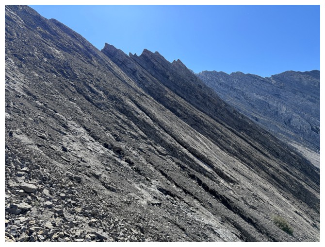
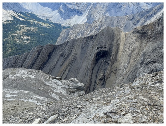
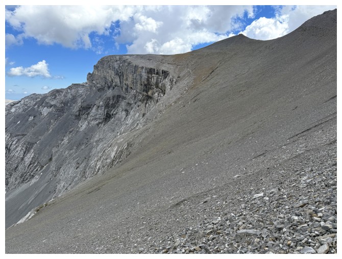
Looking down the route Schierman came up. Very impressive rock wall to pass by.
The highpoint I visited after the Picklewood summit
Picklejar Peak (GR593982)
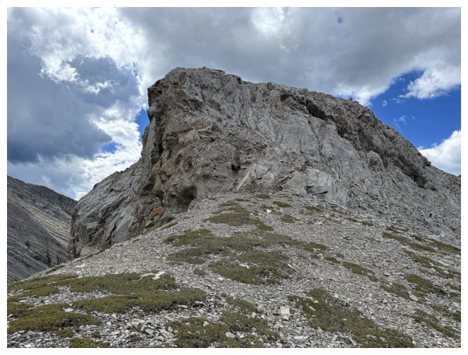
Approaching the summit. There's an easy route around the right side.
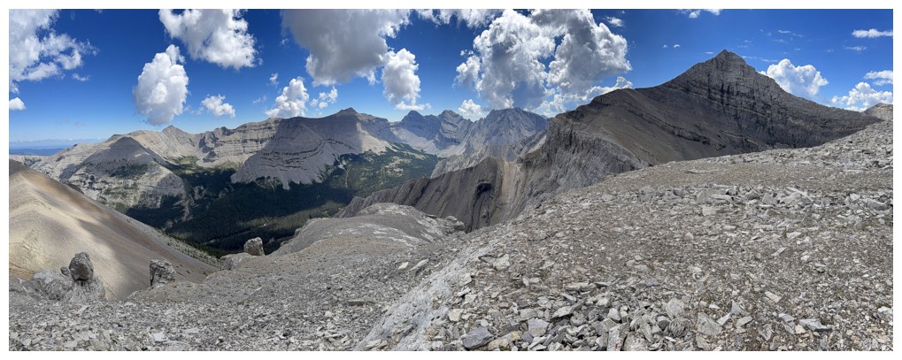
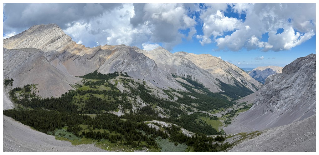
Summit panos
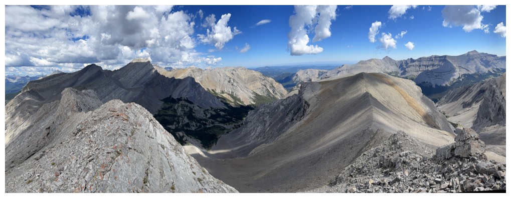
Junction Mountain (far left) and Pyriform Mountain
The east highpoint and Junction
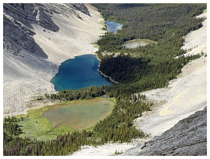
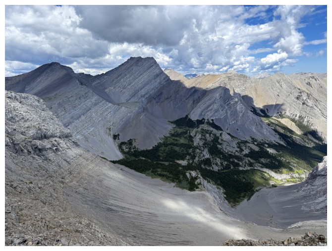
Best view of the four Picklejar Lakes
View to the northwest
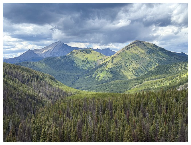
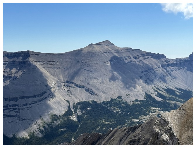
Highwood Peak
Pyriform Mountain
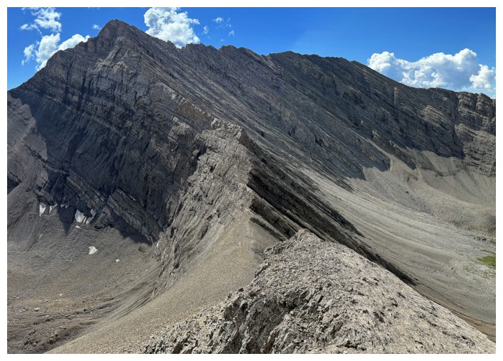
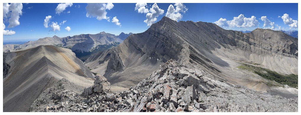
Looking down the ridge I wasn't able to traverse on the previous attempt. South Highwood Peak at the right.
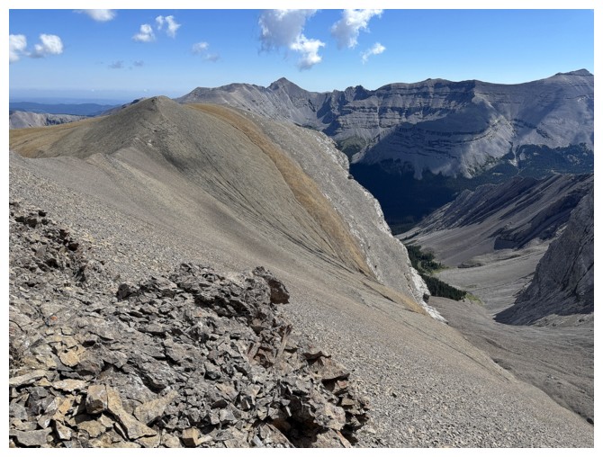
The side-sloping traverse I'm about to embark on below and it does look straightforward from this point
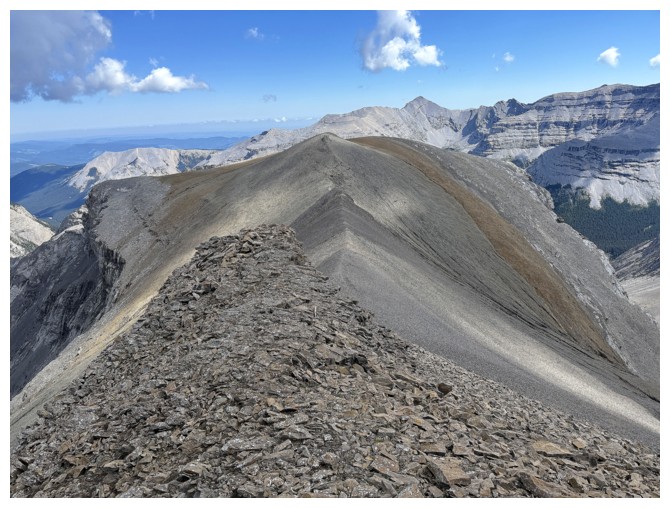
Heading over to the eastern highpoint first
Easy slog to the top
Looking back to Picklewood
Picklejar and part of the other ascent route
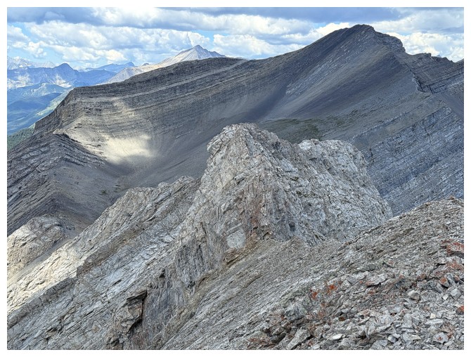
Dogtooth Mountains (left) and the scary ridge west of the summit
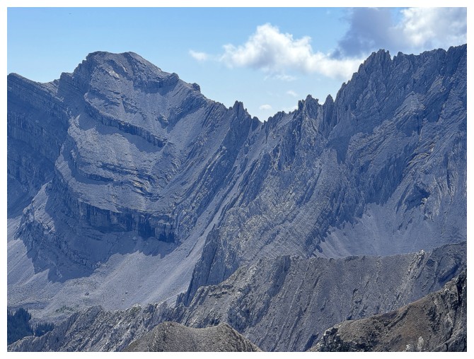
Close-up
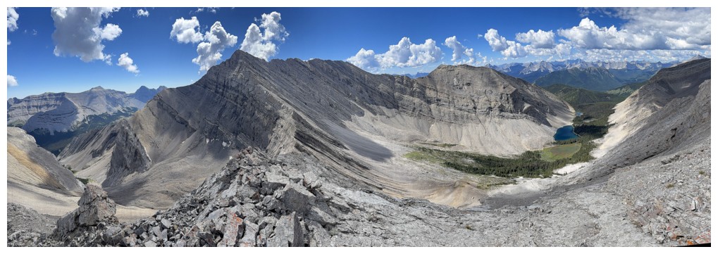
View from near the highpoint. There are some cool pinnacles at the
left, but getting a good view of them would have required a big
elevation loss.
No shortage of interesting rock scenery
Dogtooth Mountains
Junction Mountain
Descending to a point where I can start side-sloping
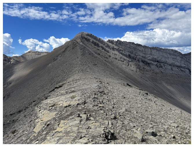
Looking back up to the highpoint
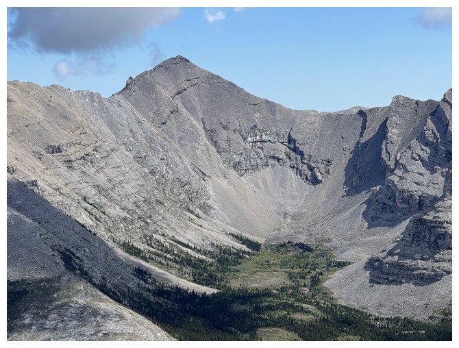
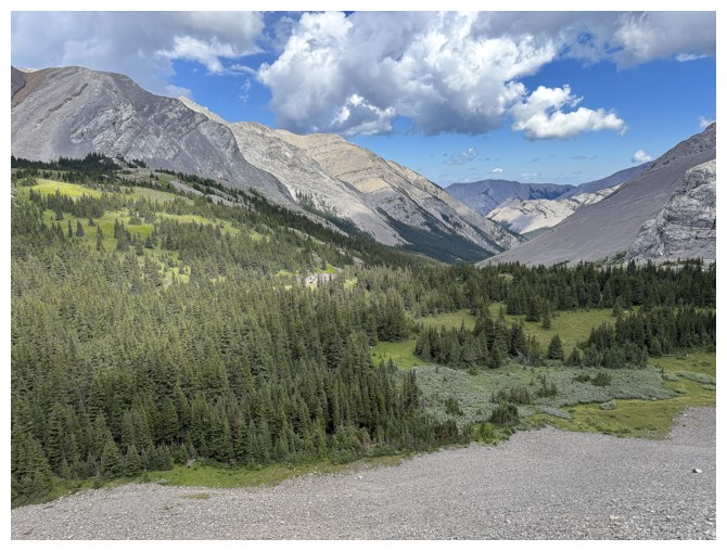
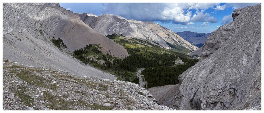
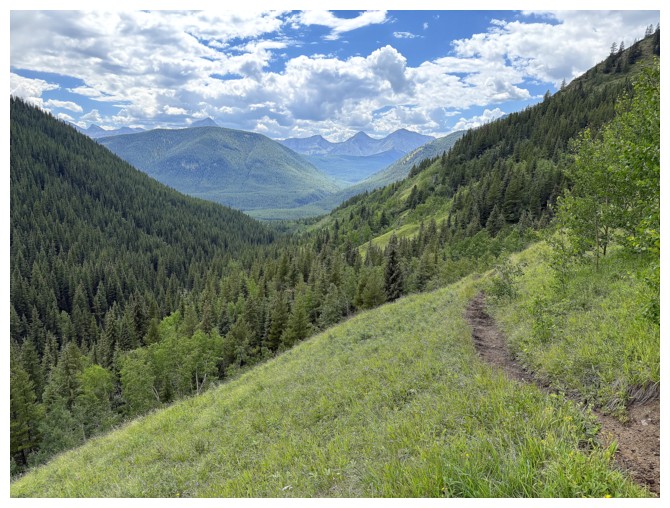
The beautiful valley to the northeast. I should have simply descended
to the treed terrain at the left instead of enduring some nightmarish
side-sloping.
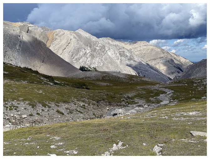
Sometime later and I'm almost down to that area
Heading back up
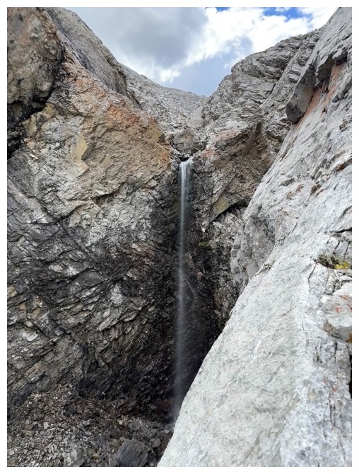
That would be cool if the volume of water was 100 ten times greater
Looking back to the northeast
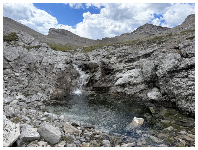
A dip in this pool would have been very refreshing
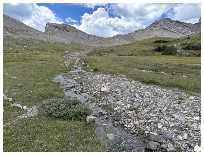
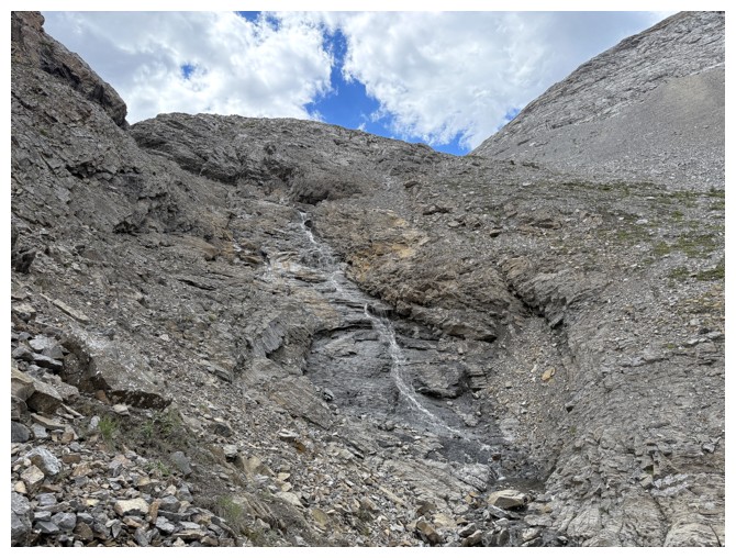
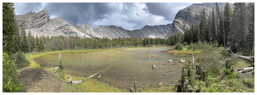
Following the stream up the valley
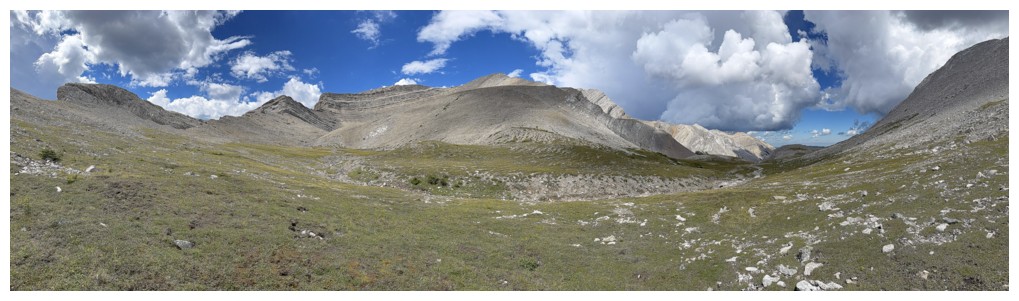
The valley
Schierman went up one of the outliers to the northeast after Picklewood - that's a super impressive day!
The south ridge of South Highwood Peak
At the col
View back down the route I just came up
Heading back down to the lakes
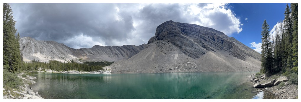
Back at the third lake
Fond memories of the ascent route already!
Leaving the third
Back at the first
Same as above
One more to make sure I've captured the moody skies
A much different look than the one 7 hours earlier
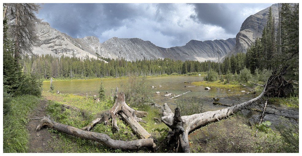
Nothing left but a wonderfully easy hike back to the start
The End
LOG