Pincher Ridge Centre IV
August 11, 2021
Mountain height: 2290 m
Elevation gain: 800
m
Ascent time: 3:25
Descent time: 2:40
Solo scramble.
 I don’t remember much about this fourth
ascent of Pincher Ridge Centre, except that while the skies were generally
cloud-free they were a little hazy from forest fire smoke. Even with that annoyance,
the trip was breath-taking. Pincher Centre holds its ground as one of my favourite
trips in the Rockies.
I don’t remember much about this fourth
ascent of Pincher Ridge Centre, except that while the skies were generally
cloud-free they were a little hazy from forest fire smoke. Even with that annoyance,
the trip was breath-taking. Pincher Centre holds its ground as one of my favourite
trips in the Rockies.
I used the same ascent route as for the true
summit of Pincher Ridge but skipped that summit and went directly to the Centre
Peak – it’s definitely the best route for both.
The obligatory summit photos were taken and
then I took a slightly different descent route, hoping to check out the amazing
rock band that lines the south side of the Pincher Ridge. That section didn’t
disappoint either. Of course, the 3.2 km downhill bike ride to end the trip was
effortless and a blast.
Fantastic day and definitely not the last
time I will use this route up Pincher Ridge and/or Pincher Centre.
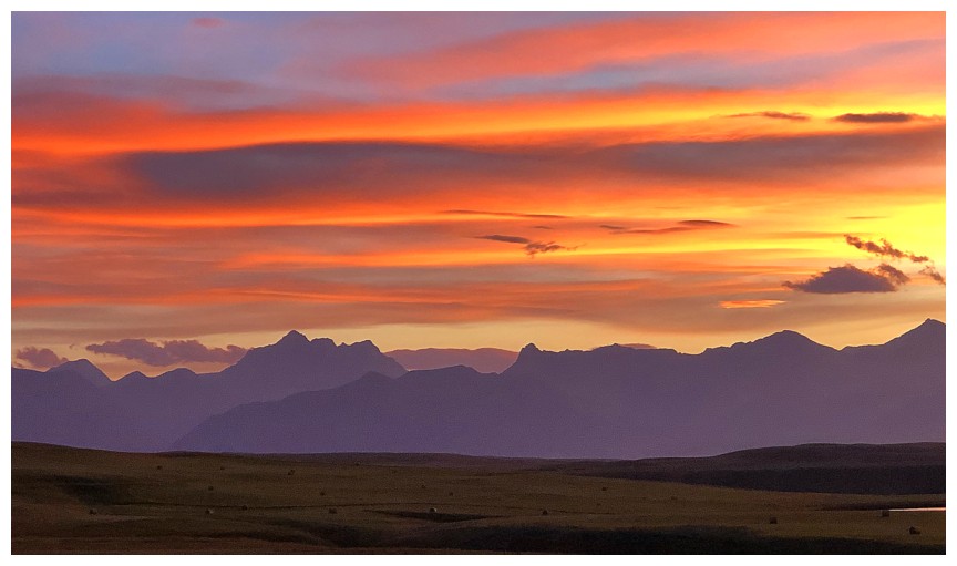
Pretty cool Sunset the previous night

The southwest summit of Pincher Ridge
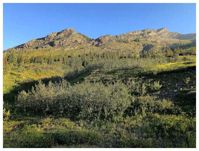
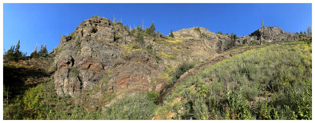
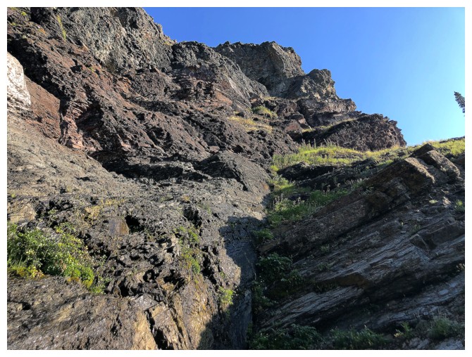
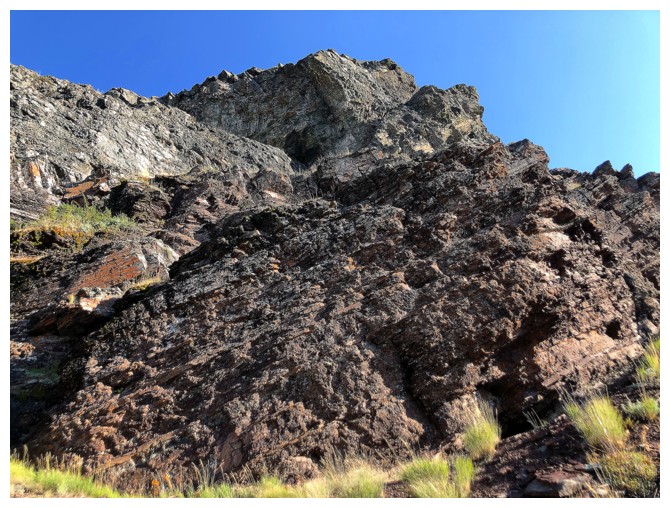
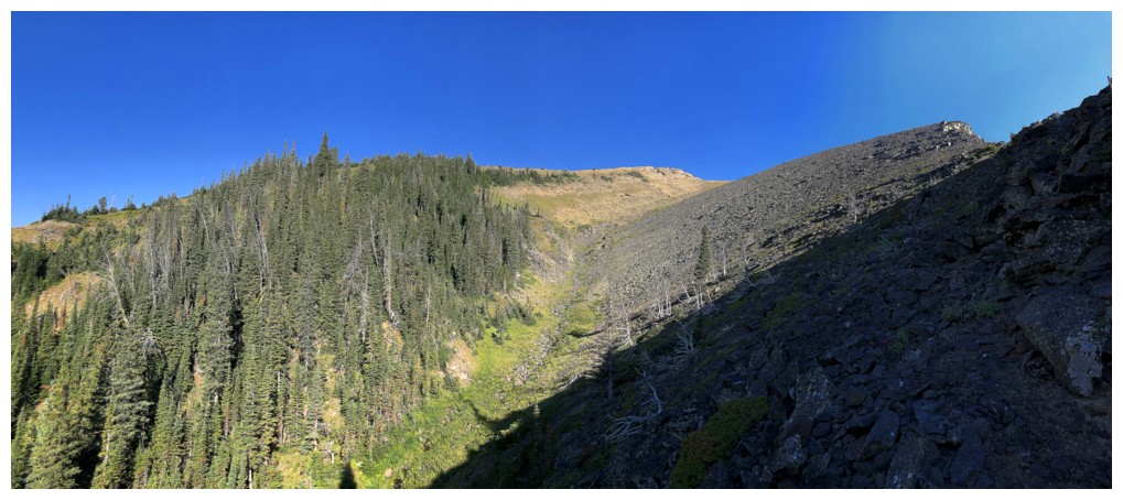
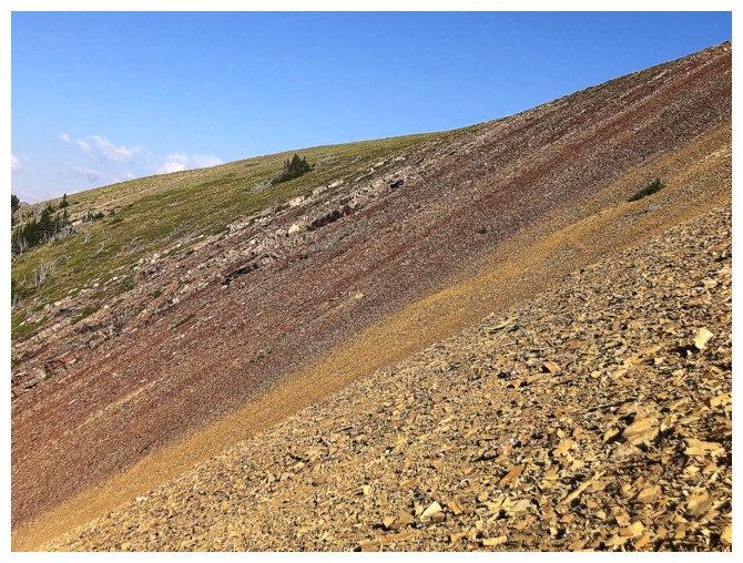
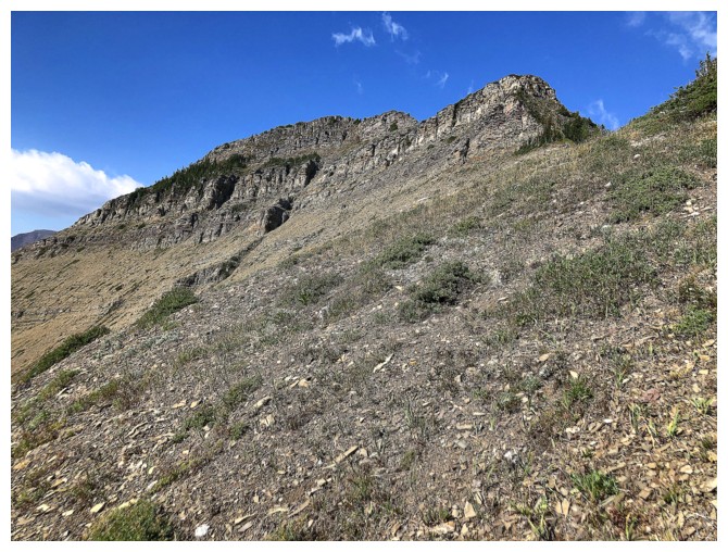
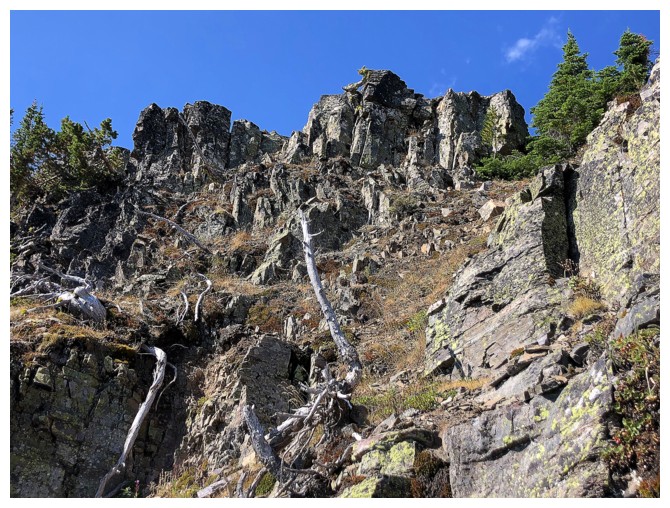
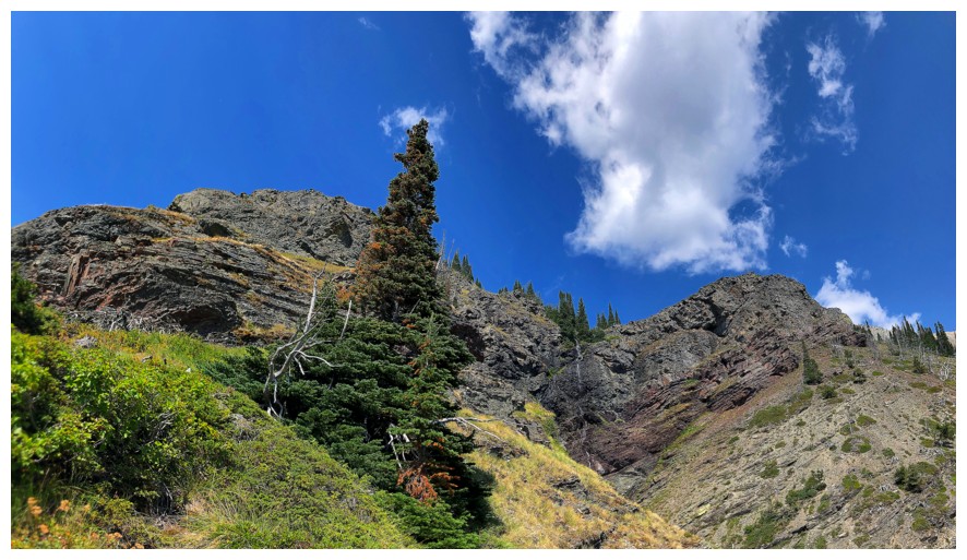
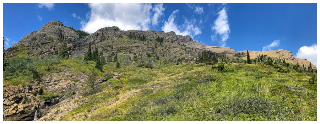
Looking up the route. Surprisingly, there is no bushwhacking.

Not much water in the ascent drainage
I guess you could call that bushwhacking, but it's totally avoidable
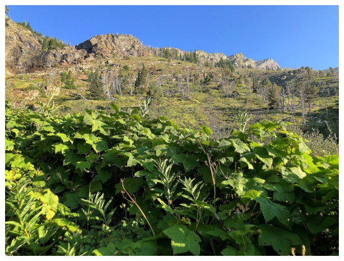
Staying near the drainage grants the best scenery, but makes for a slower ascent
The route goes from left to right here
A little exploration on the other side
Cool colours
Cool colours again
No choice but to go right here
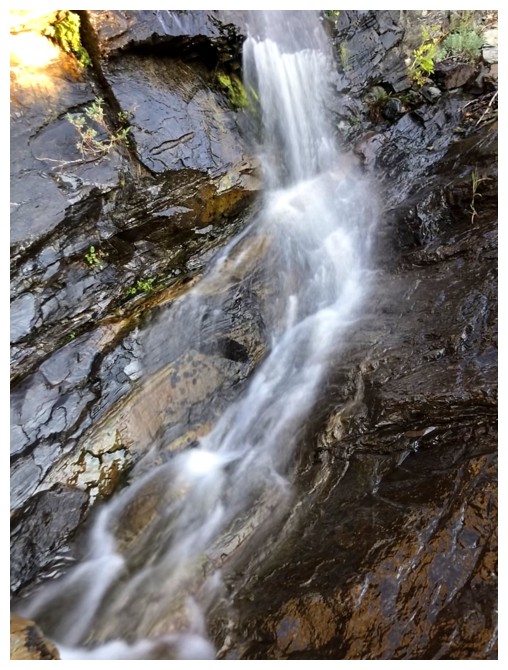
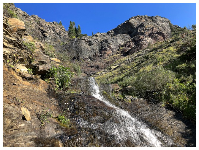
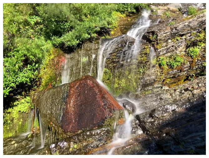
Again, not much water. A late October ascent in 2018 had a better flow and surreal views.
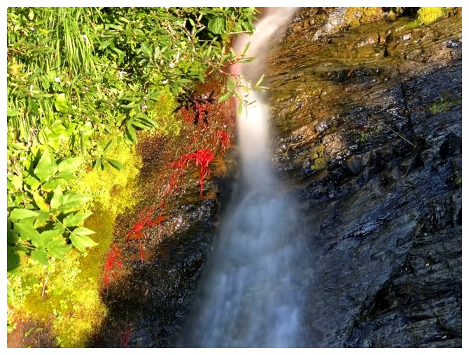
Still, water running down red argillite always wins!
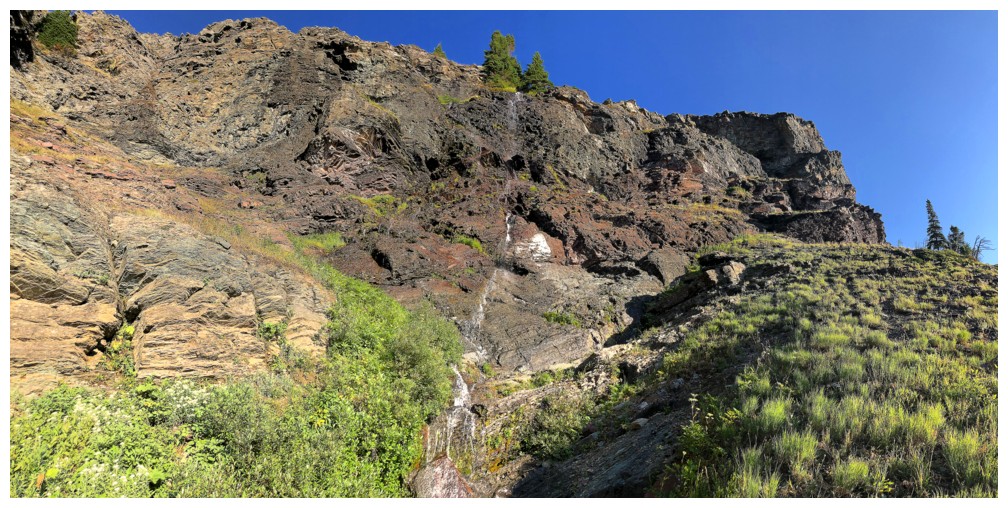
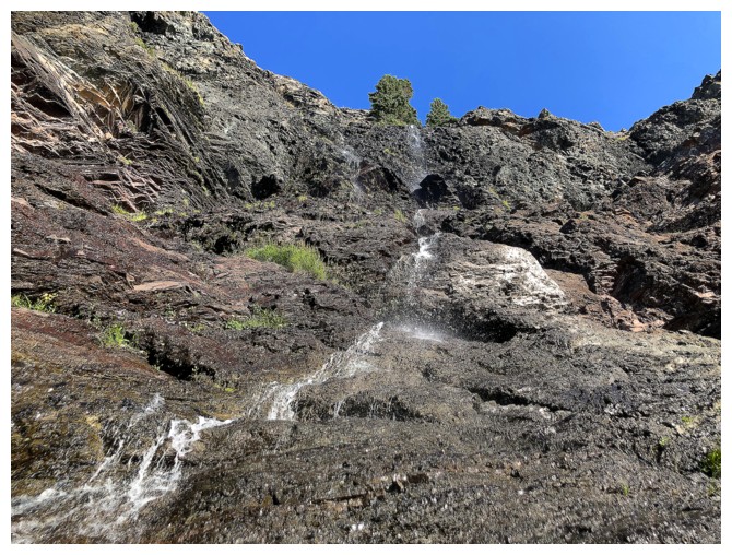
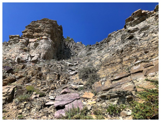
I'm always tempted to attempt a route straight up the middle here, but have yet to try
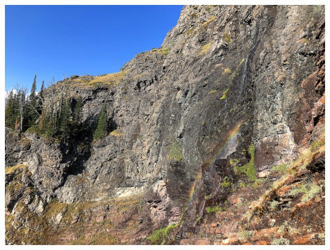
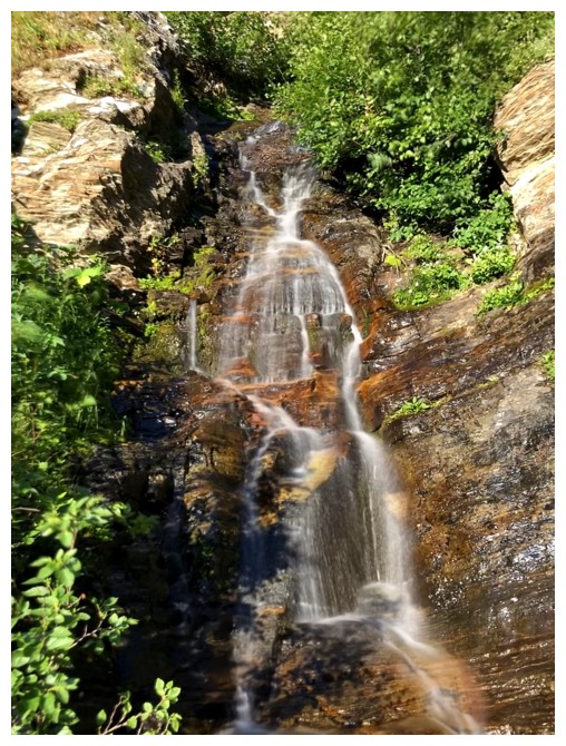
There is enough water, however, to create a small rainbow
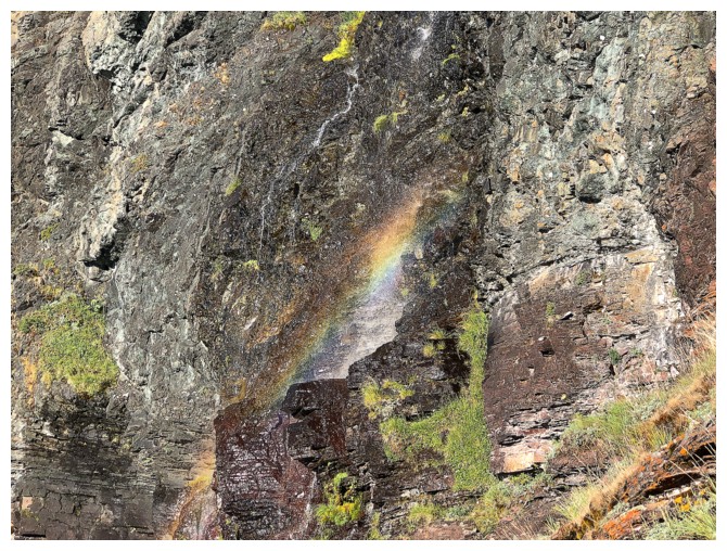
One of nature's most beautiful illusions!
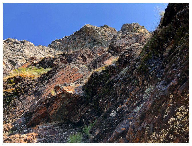
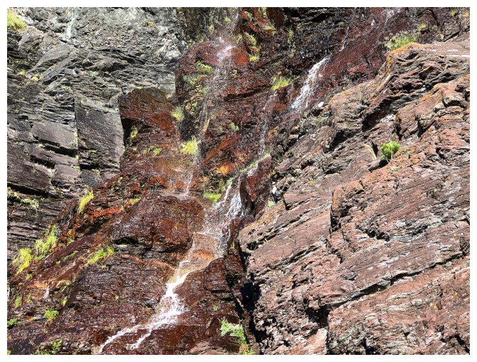
Still tempted
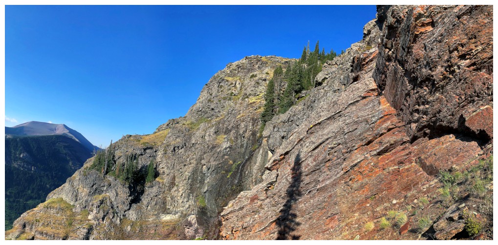
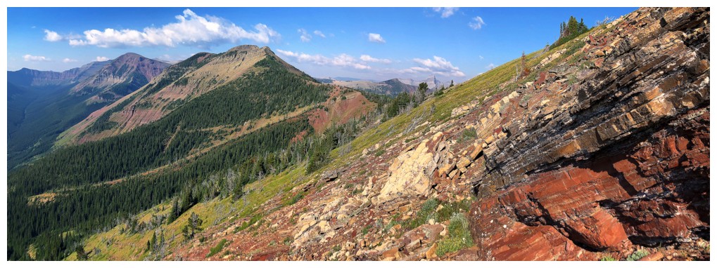
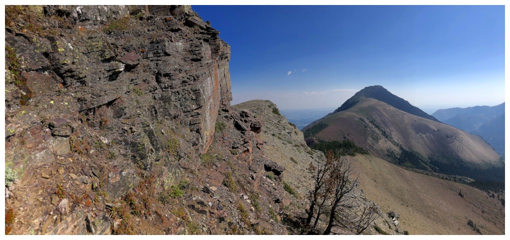
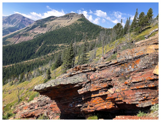
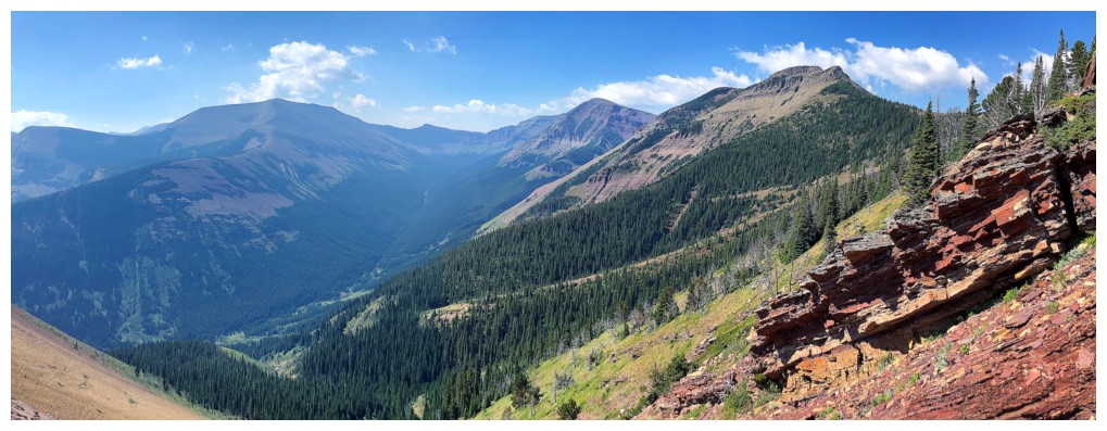
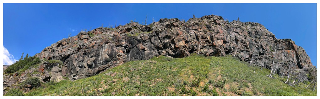
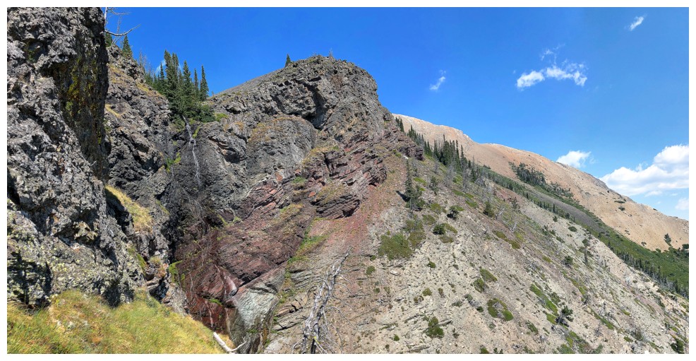
But staying below the rock band has its scenic advantages
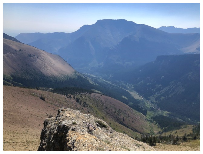
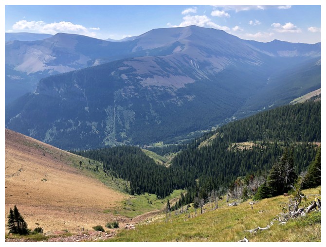
Much of the length of Drywood Mountain enters the view. The true summit is
at the far left, some call the middle summit Redwood Peak, and the southwest summit (the highest point of the massif) sits at the right.
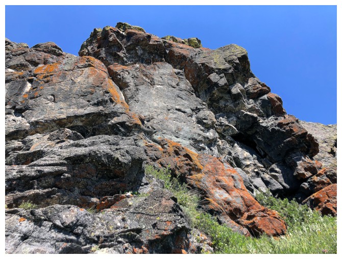
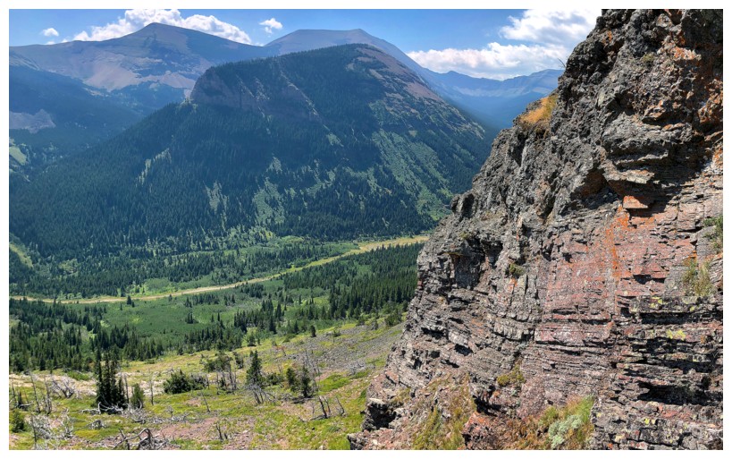
More benefits of staying below the ridge
And again
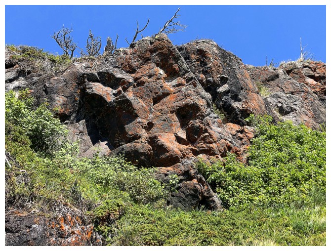
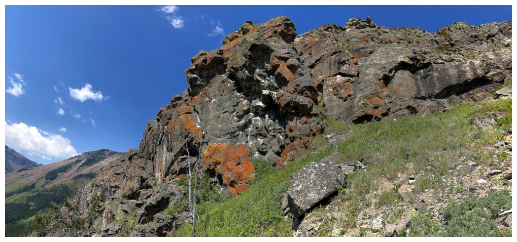
All the lichen resides on this side too
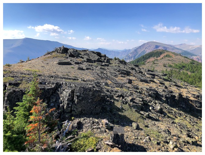
On the ridge. Following it up the right side leads to the summit of Pincher Ridge. I traversed left, into the drainage.
In the drainage
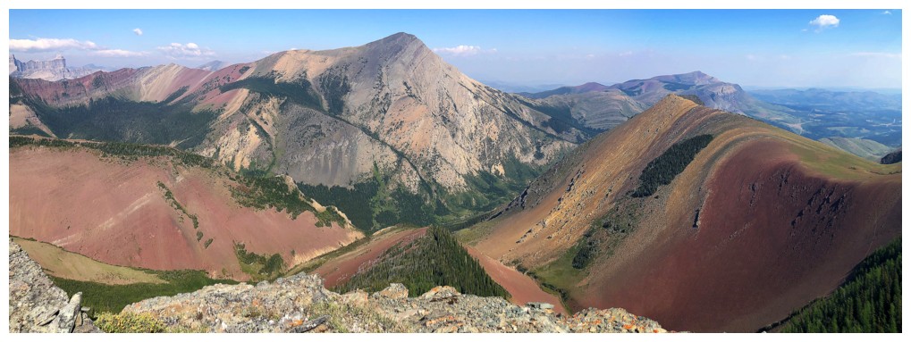
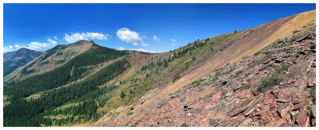
Pincher Centre appears. Lots of side-sloping to get to the col.
It's a colourful traverse and the terrain underfoot is quite tolerable
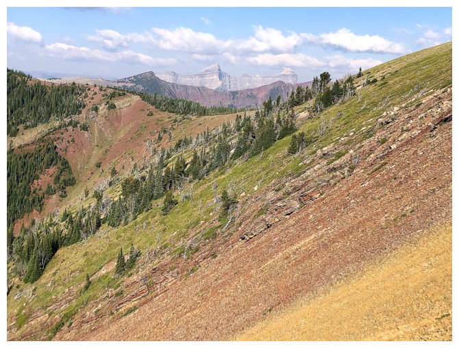
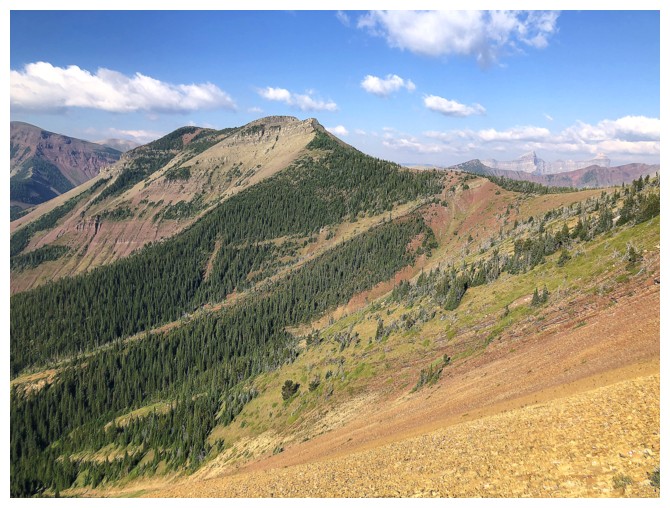
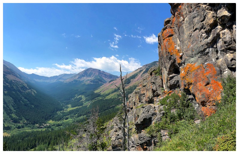
Windsor Mountain and Castle Peak make appearances
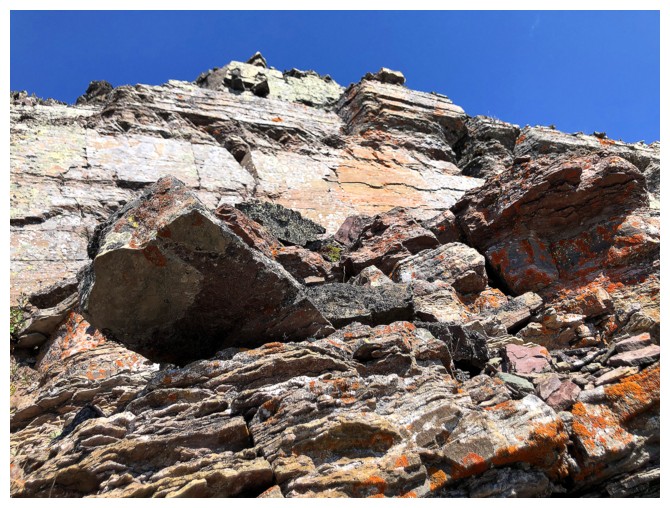
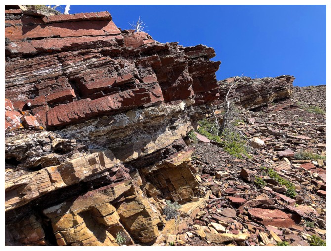
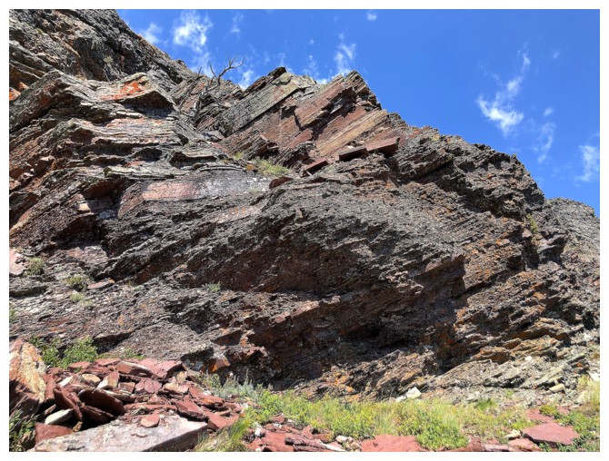
There are a few very pleasant red argillite surprises along the way

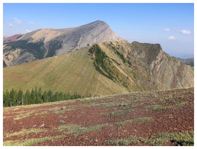
On the ridge that connects the true summit to Pincher Centre
Victoria Peak towers over the north outlier of Pincher Ridge
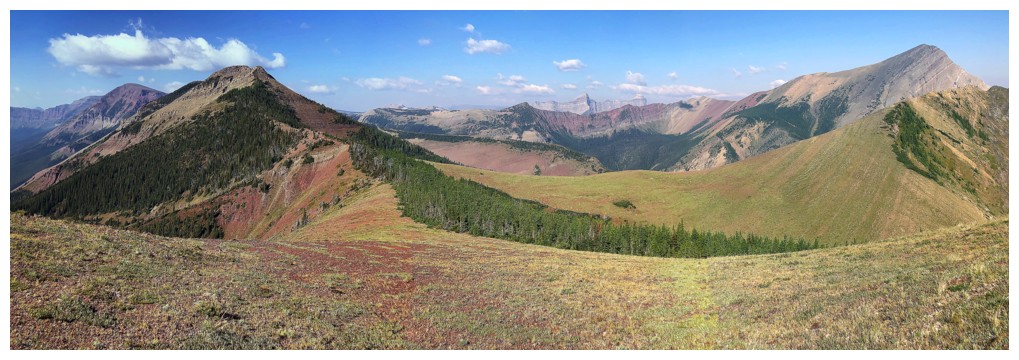
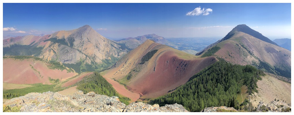
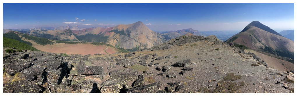
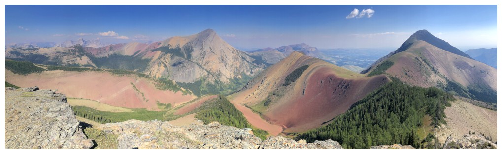
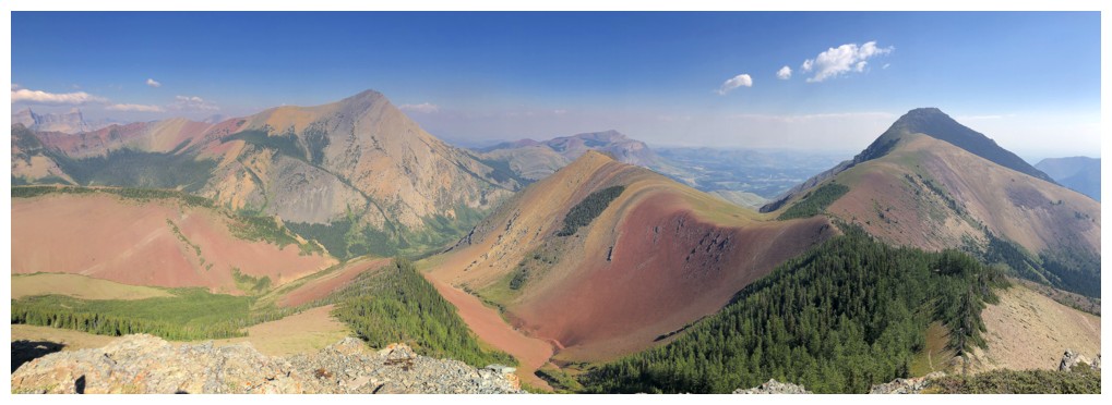
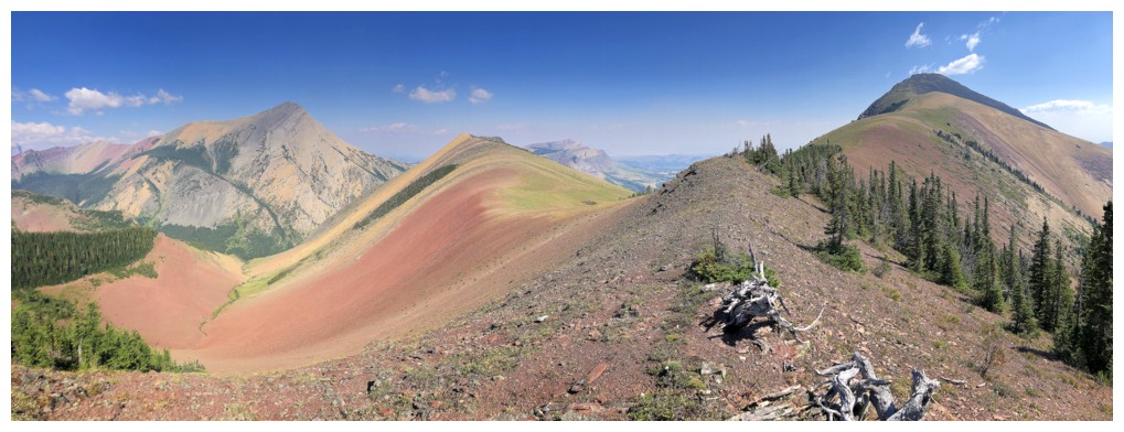
Great overall pano from the southwest to the north
Add a touch of red rock to the view to the north
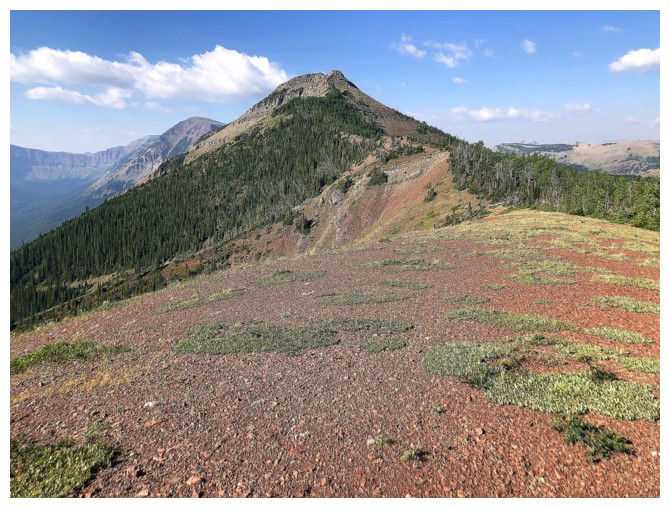
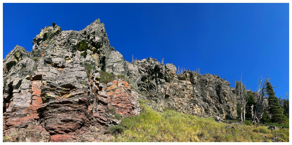
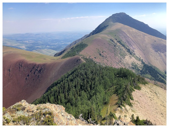
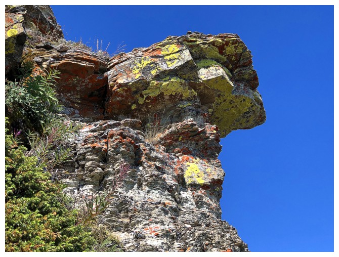
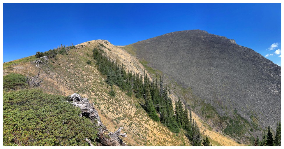
The Centre Peak looks a little fierce from afar but has only a few
moves of moderate scrambling (and even those ones are avoidable if you
go to the right near the top)
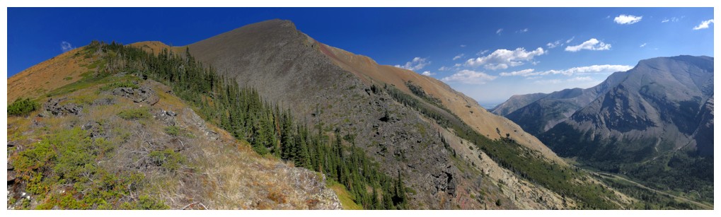
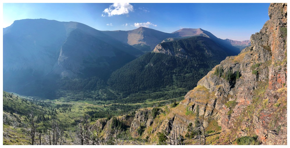
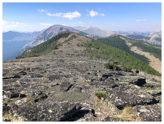
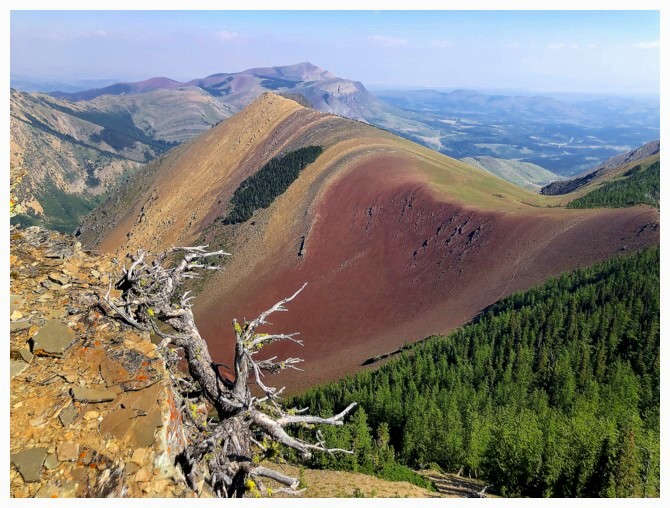
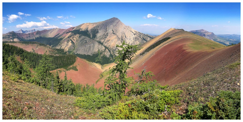
The trip gets increasingly scenic from here and turning around to see the improving view is mandatory
I decided to explore the left of the ridge
The true summit of Pincher Ridge and a swath of larches - late September/early October ascents can be phenomenal
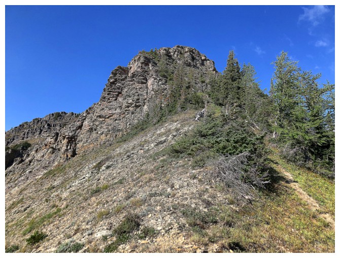
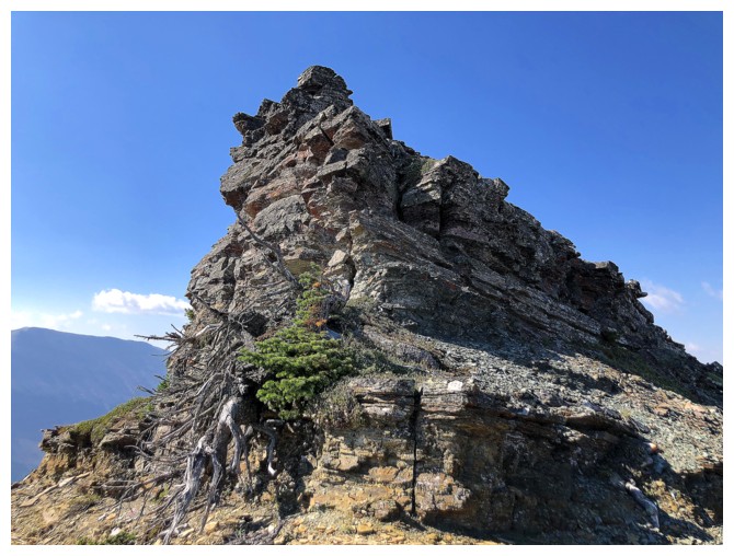
Approaching the summit block
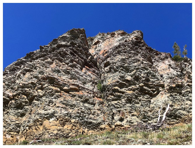
Close-up
Heading to the left side of the summit block and looking for weaknesses to get up - there's one
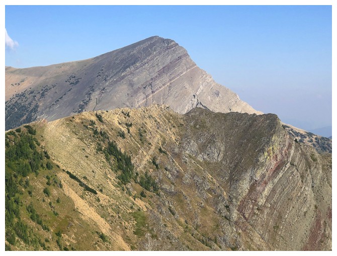
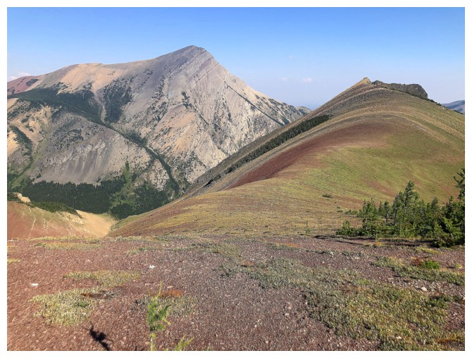
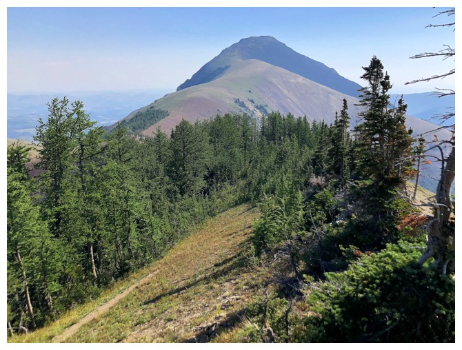
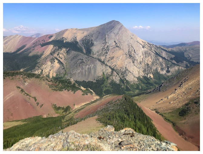
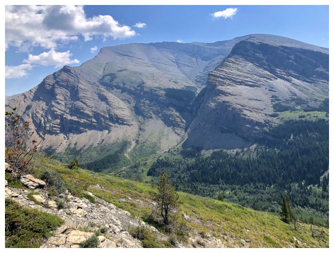
Drywood Mountain - that one makes for a great trip year-round
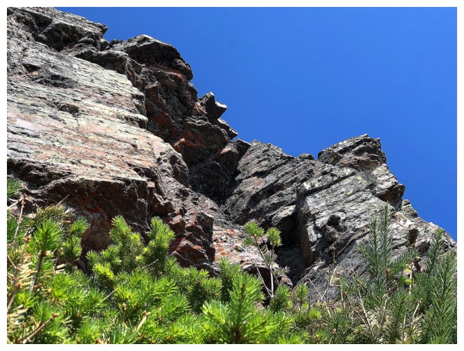
Heading up that weakness
More interesting terrain above
Brief return to the ridge before I went left again
Nice greenery
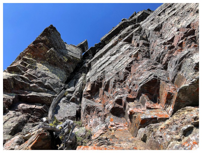
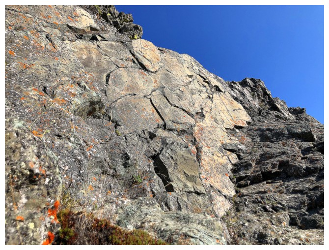
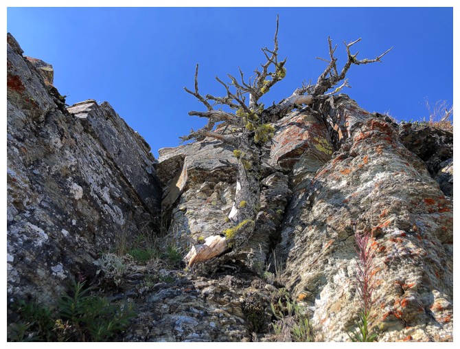
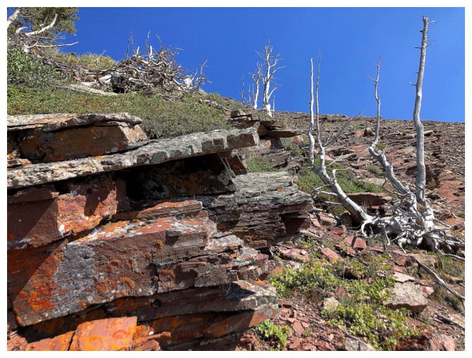
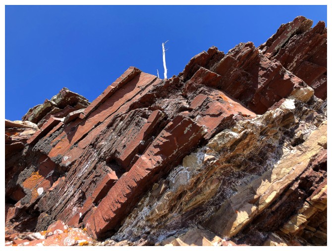
And nice rock
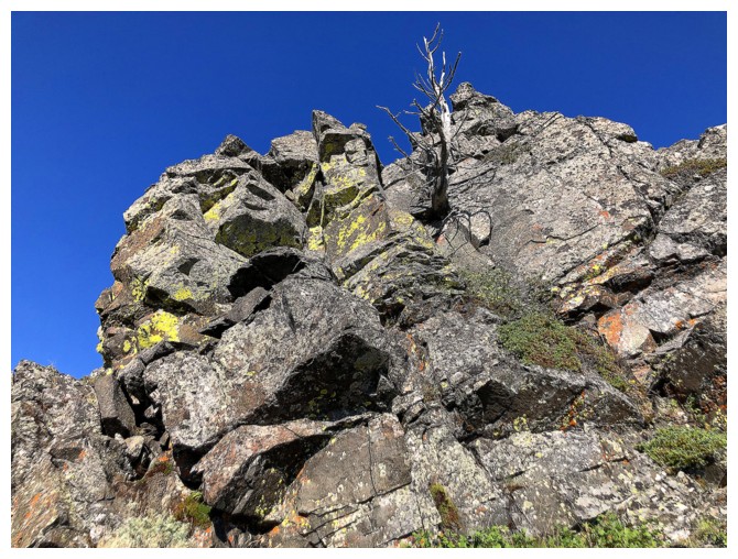
That's one straight line at the top!
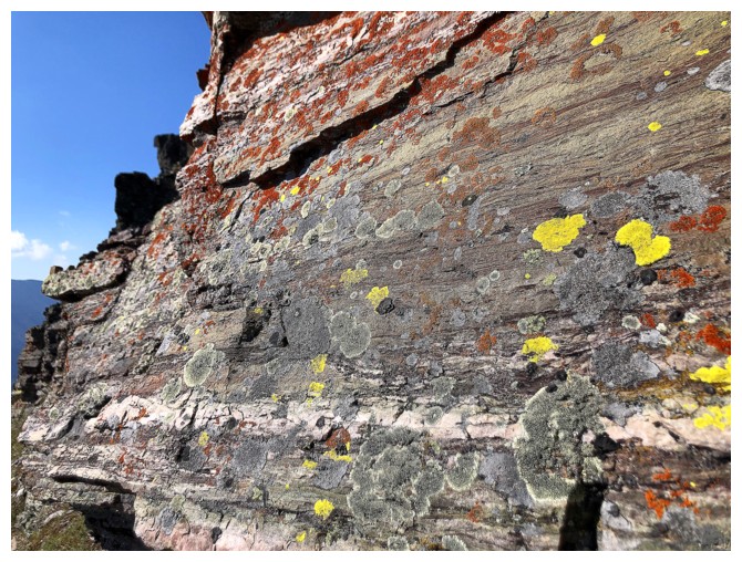
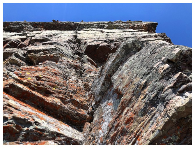
Relieved to find a few splashes of yellow lichen
More rock
Looking back to the true summit
Heading up another weakness to the summit
On the ridge and the summit is minutes away
Summit view to the southwest is nice
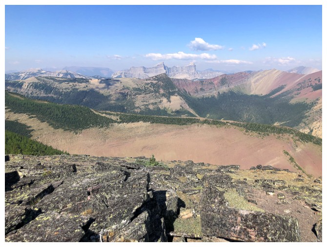
And the one to the northwest is very nice
But both pale in comparison to the view to north and east
And even that one pales in comparison to the same view, but from the end of the ridge
Victoria again. Note the layer of smoke.
The field of larches at the col
Smoke or no smoke this is one of my favourite views in the world
Same as above with Pincher Ridge at the right
The red argillite on Pincher North is so eye-catching
Actually, there is nothing in this view that isn't eye-catching!
Descending
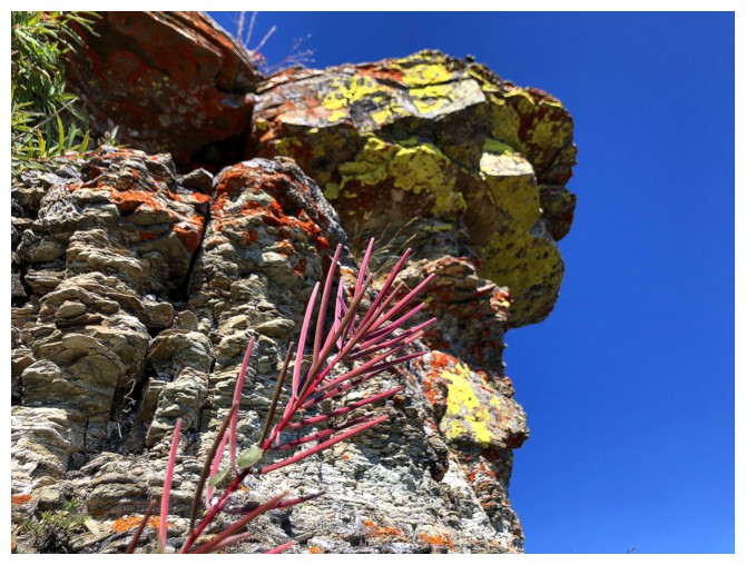
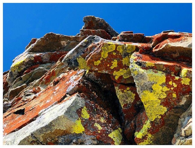
That's more like it for yellow lichen
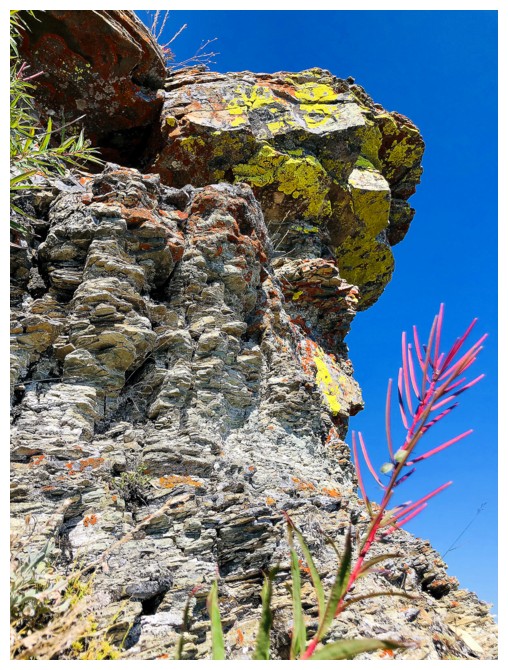
And a random offshoot of some beautiful red thing
Add some orange
Back at the col
Still swooning over this view
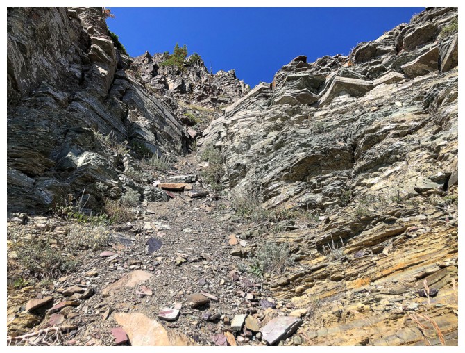
Going straight down the middle here is also an option for descent and
provides excellent scenery (but some bushwhacking near the end)
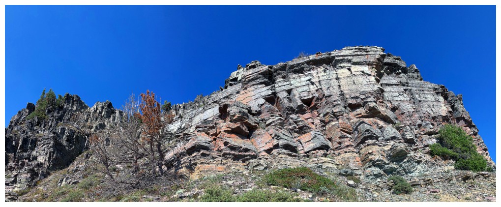
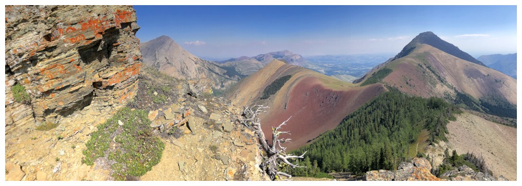
Round 2 of the rock scenery while traversing. This time I'll aim lower
to get below the cool rock band that lines the south side of the
mountain.
The black rock of Pincher's summit
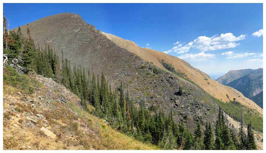
Same as above
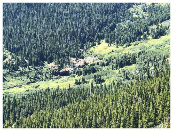
North Drywood Falls is just visible far below
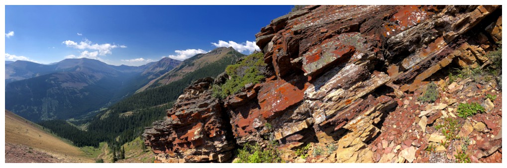
The start of a wonderful traverse below the rock band on the south side
Back at the drainage I used for ascent, but on the other side
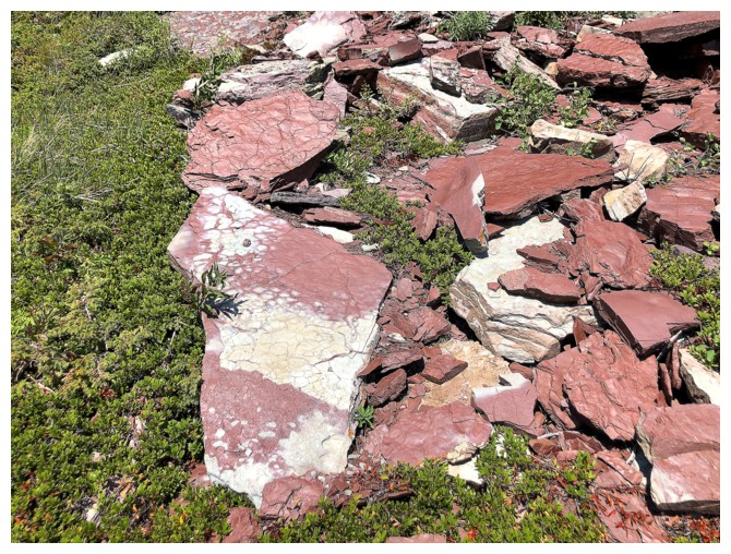
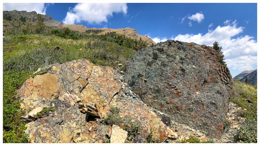
Interesting collection of argillite pieces
Descending the other side
The northwest side of Drywood Mountain is the only side I've never used as an ascent route
Crossed back to the north side to finish the descent
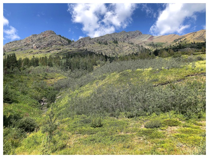
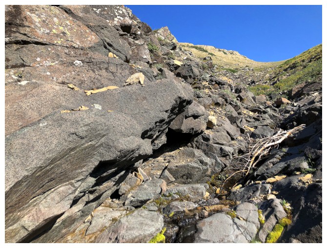
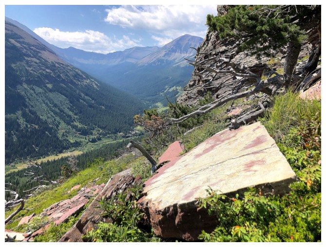
Back at my bike and looking up the ascent route
The End
LOG