Prairie
Bluff XX
February 1, 2026
Mountain height: 2258 m
Elevation gain: 558 m
Ascent time: 3:05
Descent time: 1:20
Solo scramble.
Inspired by
Dave and Brad’s recent ascent of Prairie Bluff via a route they called “Frozen
Princess”, I set out to do something similar. I say similar, because I had no
intention of ascending that specific route. 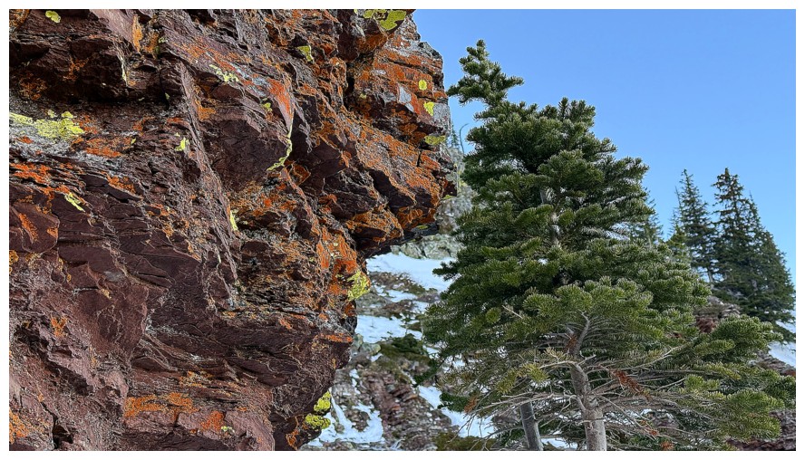 Wearing bulky winter hiking boots,
with crampons and a single ice axe as accessories, I was not equipped to tackle
some of the serious terrain on Frozen Princess; nor would I do a solo ascent of
it.
Wearing bulky winter hiking boots,
with crampons and a single ice axe as accessories, I was not equipped to tackle
some of the serious terrain on Frozen Princess; nor would I do a solo ascent of
it.
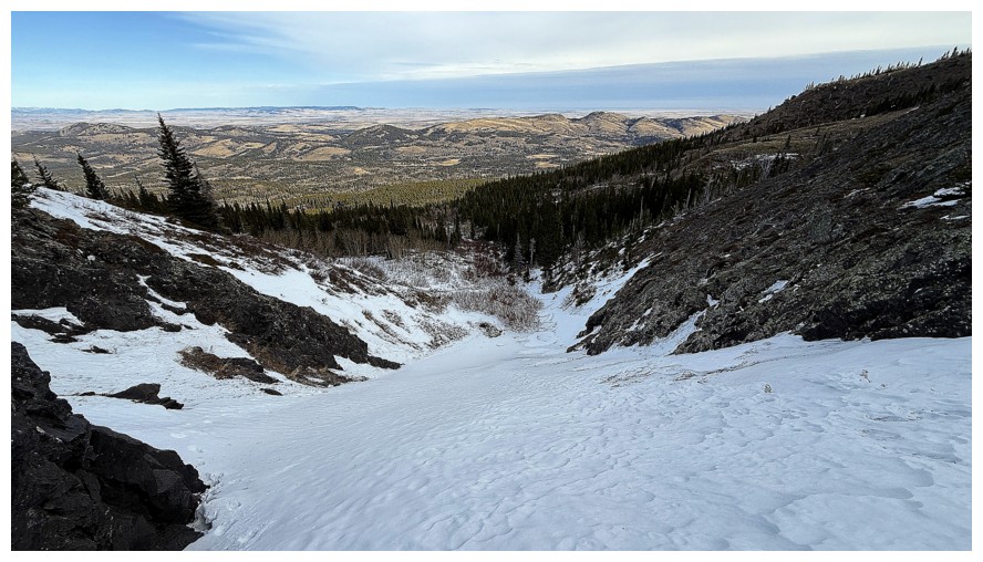
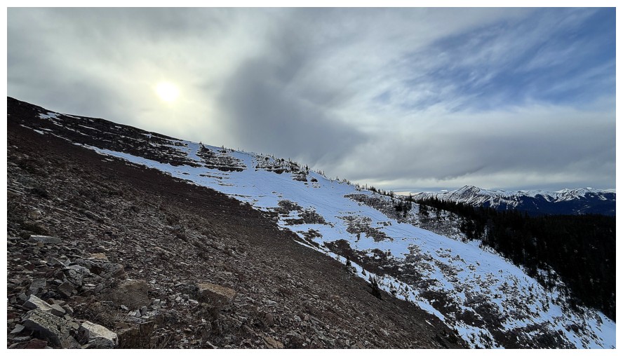
Driving back
and forth below the northeast face of the objective, I eventually picked out a
shallow drainage to ascend and started up. The lack of snow for the first day
of February was shocking, as were air temperatures in the high single digits
(above zero, that is).
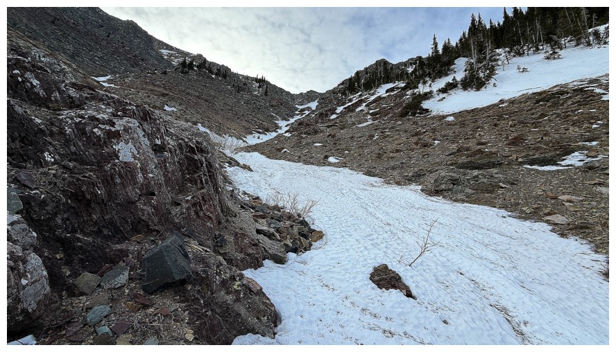
Eventually I
arrived at the base of the mountain and had to decide on an ascent route.
Although I intended to keep my crampons and ice axe holstered (I don’t actually
carry them on a holster, but it sounded good at the time of writing!), the
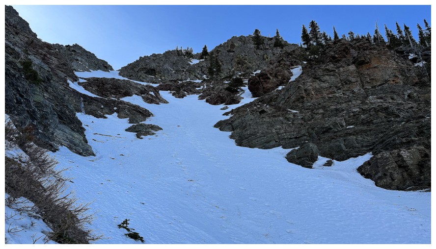
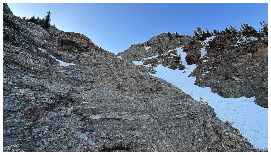
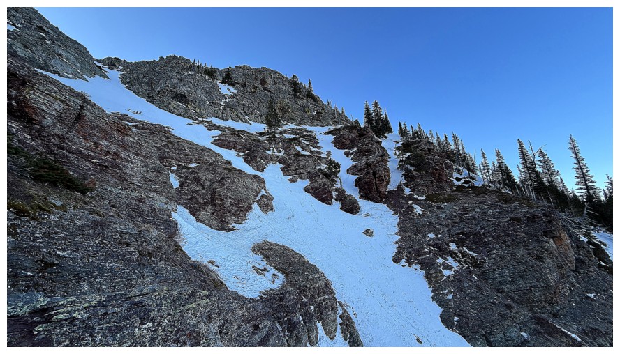
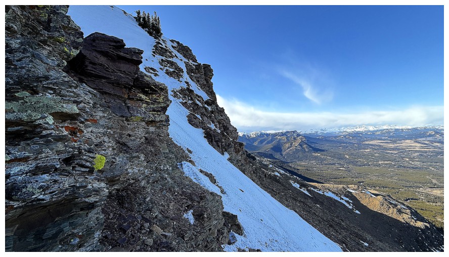
snow-filled gully in front of me was too tempting. The gully appeared to go
most of the way up the mountain, cutting through several beautiful bands of exposed
rock.
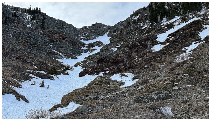
Unfortunately,
I was surprised to find that the snow in the gully was rock hard - as in, concrete! My hiking
boot crampons and single axe were no match for this terrain. I would have had
to chop steps up the entire gully to ascend it. Instead, I stuck to the side of
the gully where there were pockets of snow that I could actually sink my axe
into. I also needed an escape route throughout, should those pockets disappear.
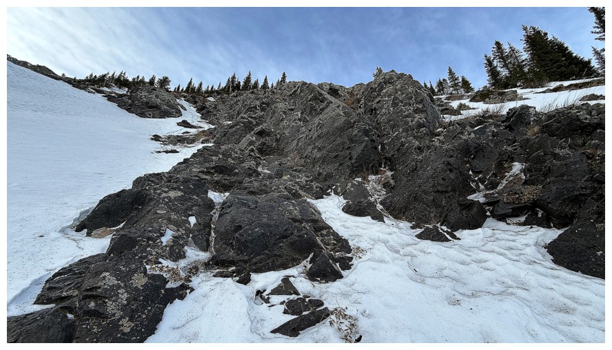
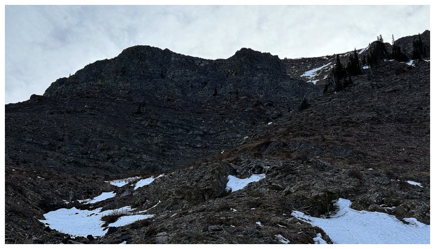
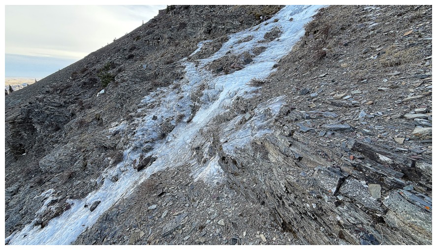
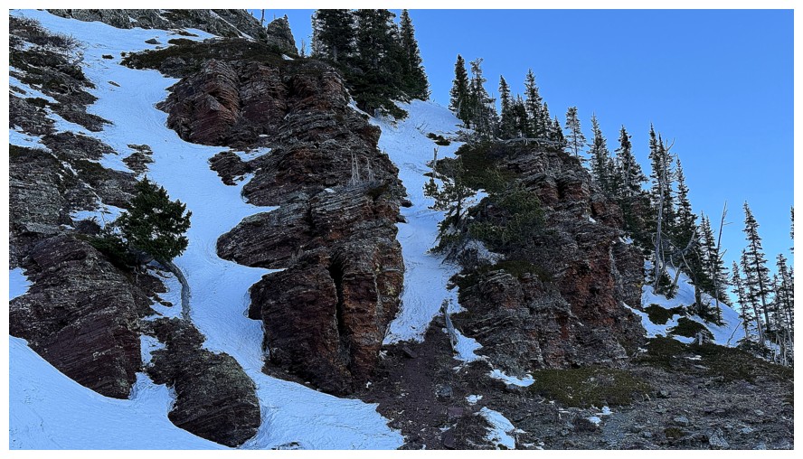
About a third
of the way up I opted to abandon the snow gully. 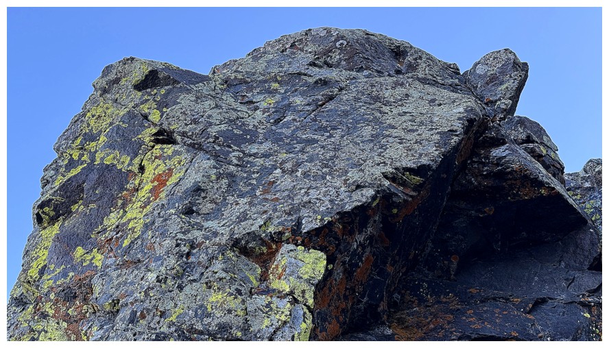 Even with mountaineering
boots, ice-climbing crampons, and two ice tools, I would have been nervous
about tackling the steep upper section. Onto the rock.
Even with mountaineering
boots, ice-climbing crampons, and two ice tools, I would have been nervous
about tackling the steep upper section. Onto the rock.
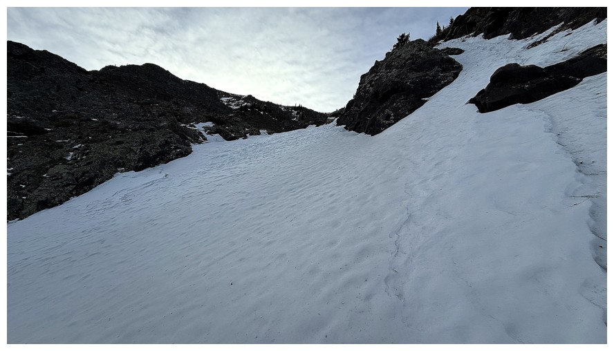
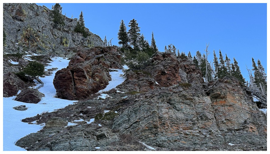
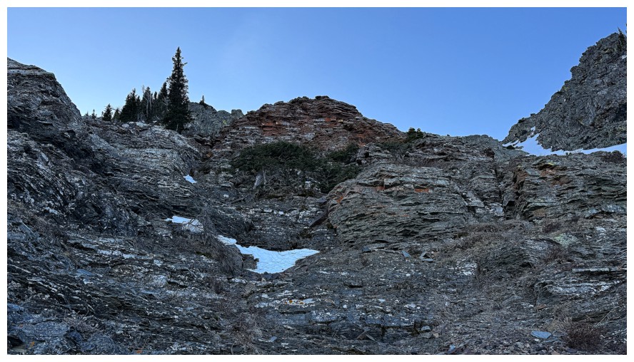
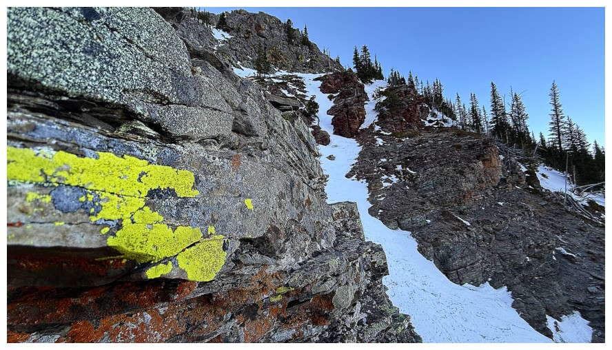
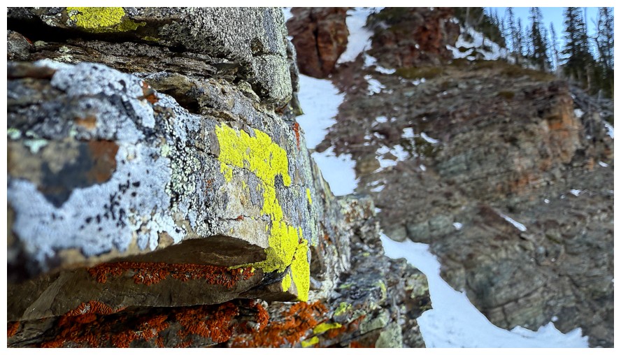
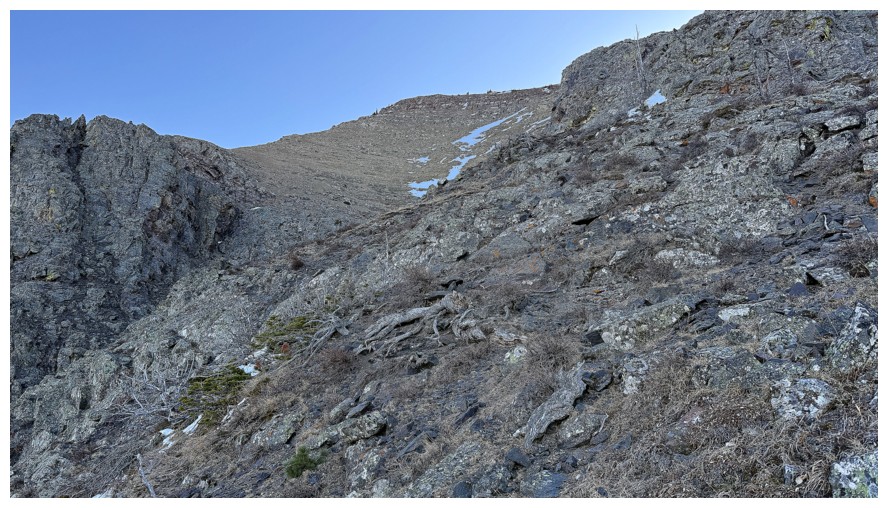
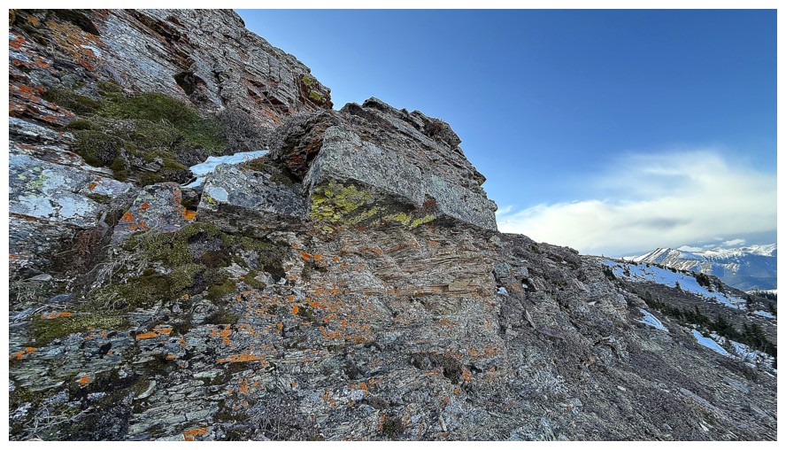
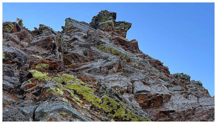
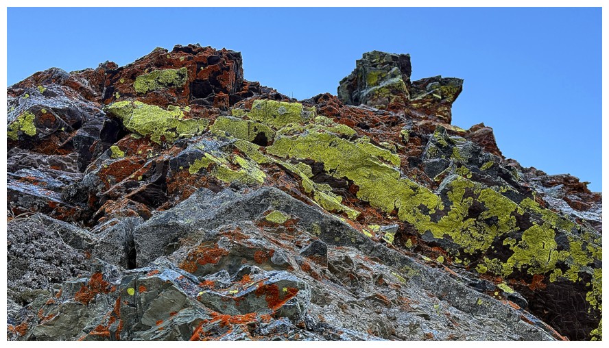
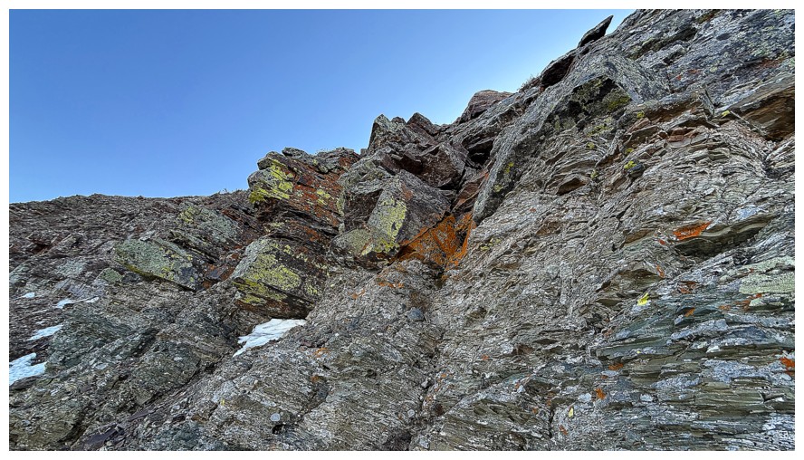
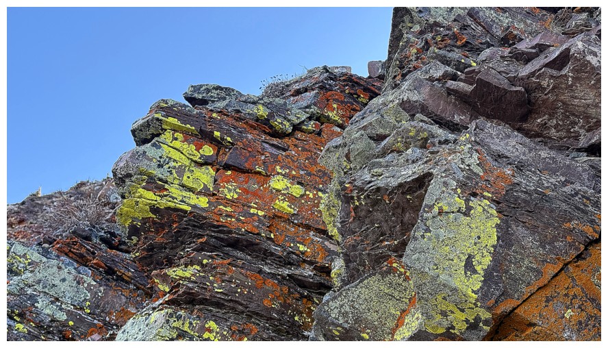
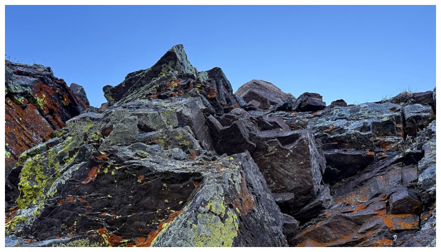
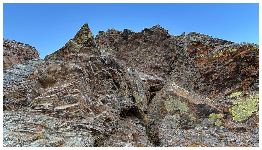
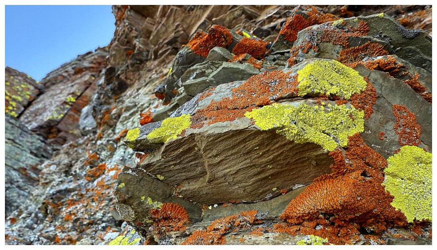
Good decision –
a thoroughly enjoyable easy scramble up delightful terrain ensued, with lots of
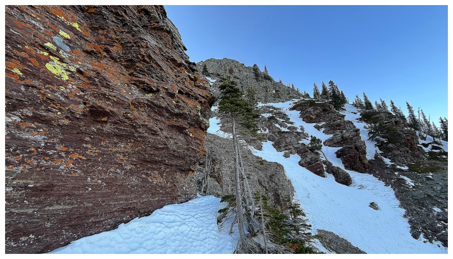
cool rock and lichen to keep me entertained. Above the cool rock lay a more
tedious scree slope and then another rock band lining the summit ridge. I chose
to traverse under that final rock band to a point directly under the summit
before gaining the top, enjoying some of the best yellow and orange lichen
scenery I’ve ever experienced. Unfortunately, the Sun was not going to be
lighting that lichen up at this time of the year – a return trip in mid-June is
already scheduled!
A very strong
wind curtailed my summit stay to not more than two minutes, at which point I
took the fastest and easiest route down I know of, between the two ridges to
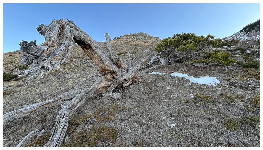
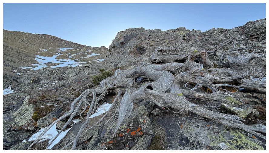
the northwest. I didn’t set any speed records, however, as a pair of twisted,
dead tree begging some photo attention, stopped me in my tracks. A relatively
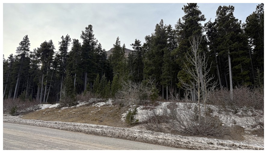
short walk back along the road to my car ended a terrific little trip with
enough new and interesting scenery to inspire a repeat trip at some point.
Epilogue: After
revisiting Dave’s Frozen Princess trip report, I realized I had basically
ascended their descent route, except for the section where I had abandoned the
snow gully. Nice work in that gully boys!
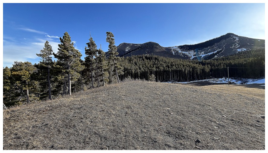
The objective, barely seen through the trees
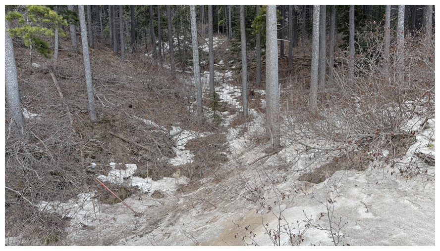
A shocking lack of snow at the start of ascent
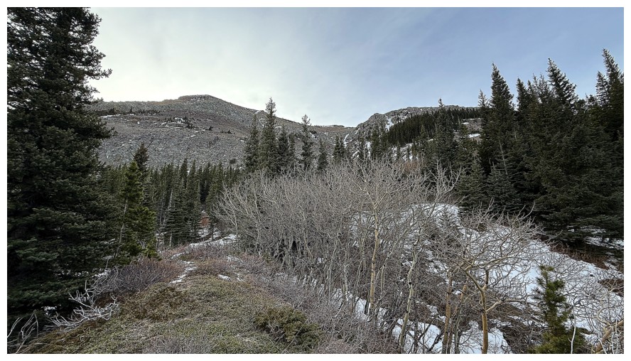
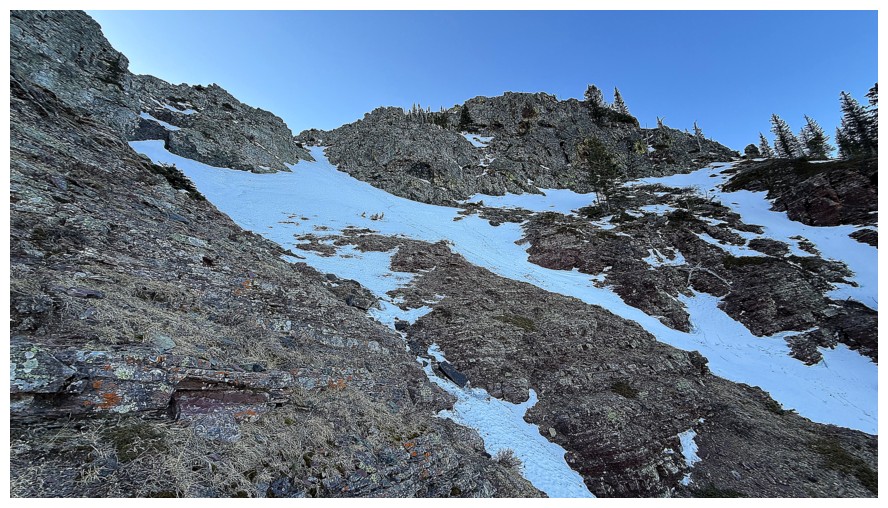
Sometime later and finally getting a look at some potential routes
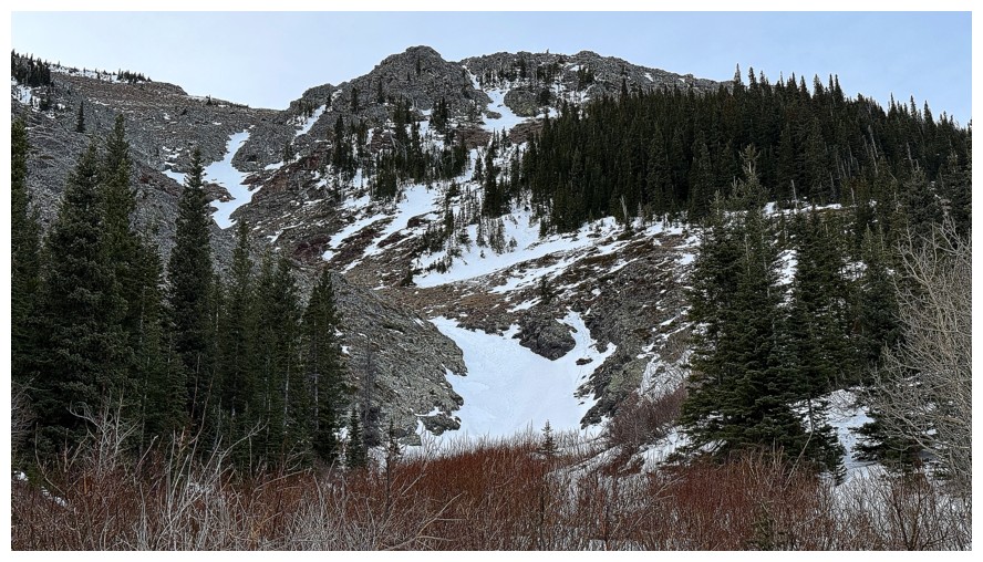
There's one, right up the snow
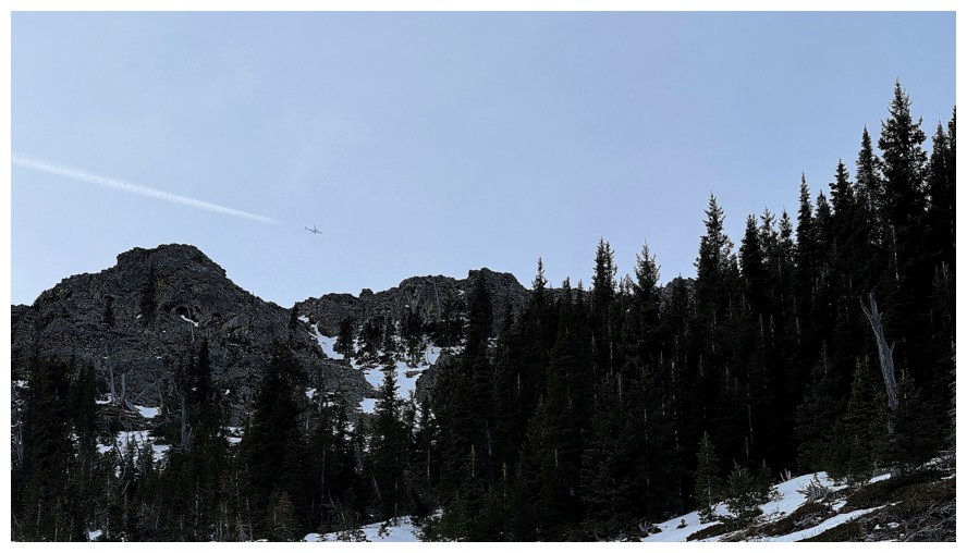
A plane streaks through the sky
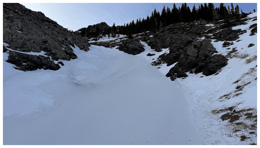
At the base of the snow gully. It's much steeper than it looks and the snow is rock hard.
Staying close to the rock in case I need to bail
The terrain I may need to bail off
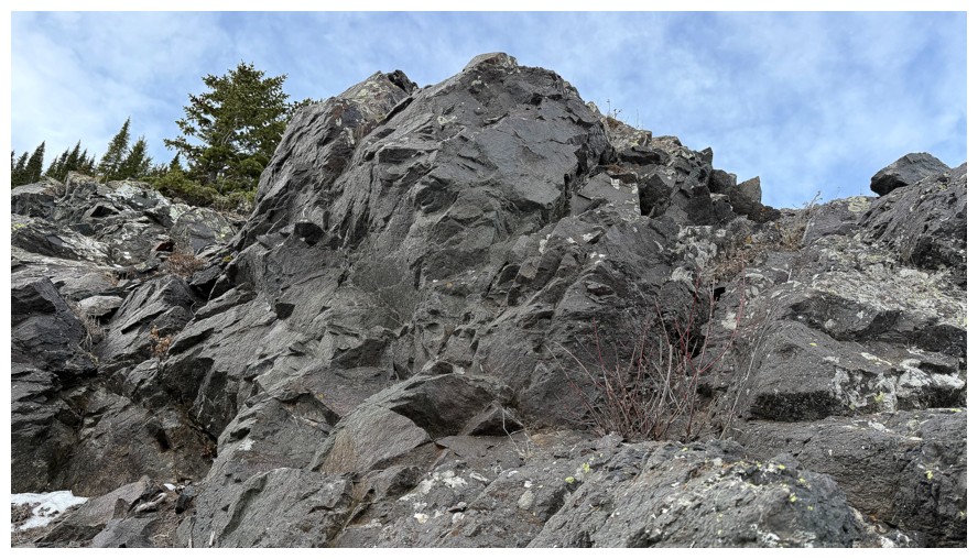
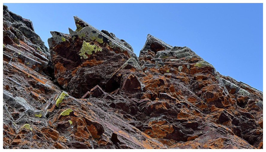
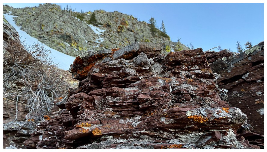
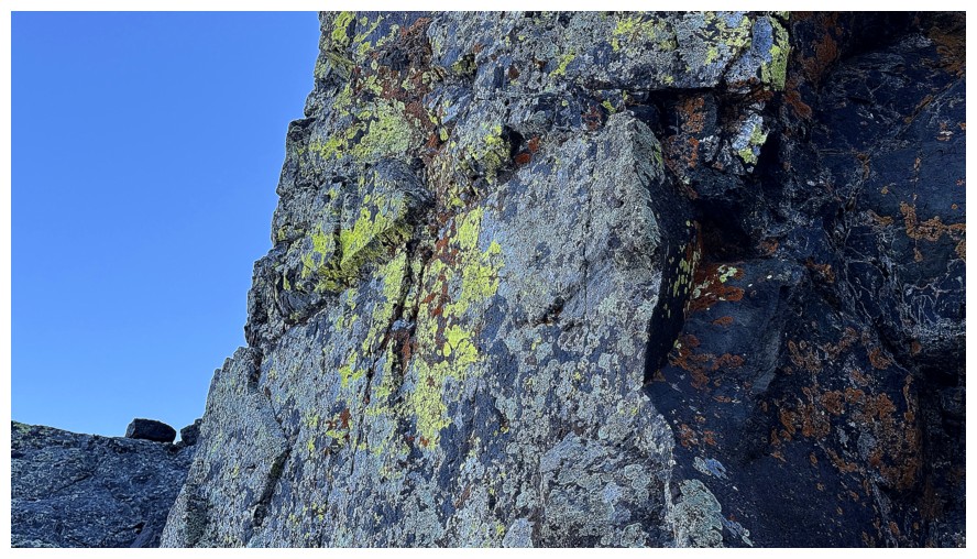
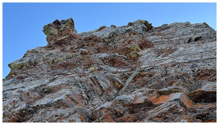
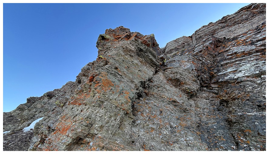
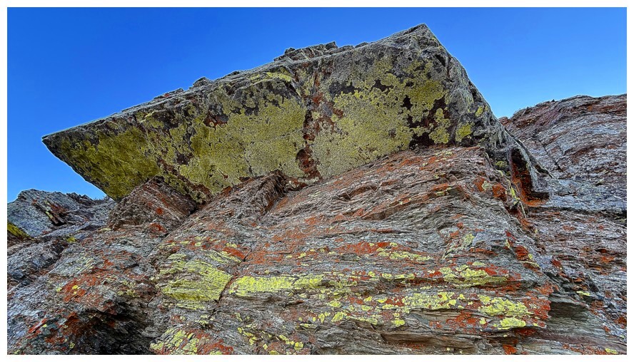
Beautiful igneous rock
Looking down the route so far
Easy stretch ahead
Starting to feel apprehensive about staying in the snow gully
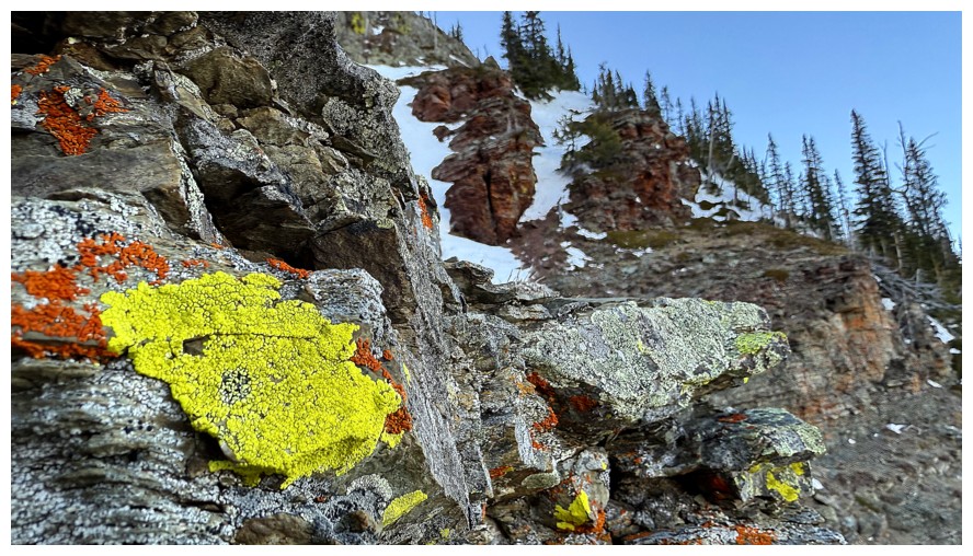
The rock to the left of the gully appears to offer easier travel
The colourful rock on the left side of the gully
Looking down again from the point where I left the gully
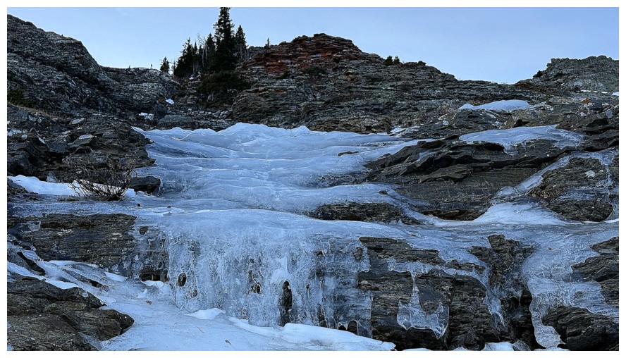
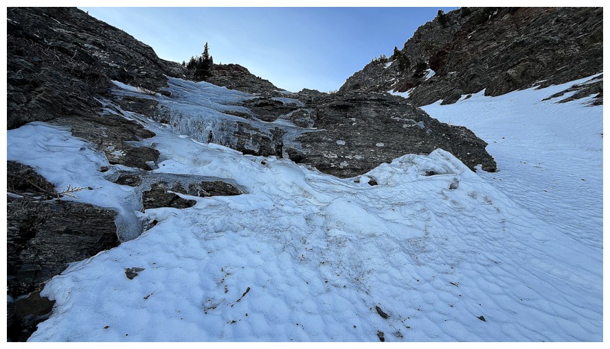
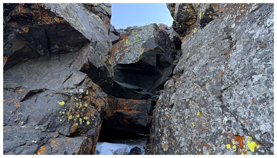
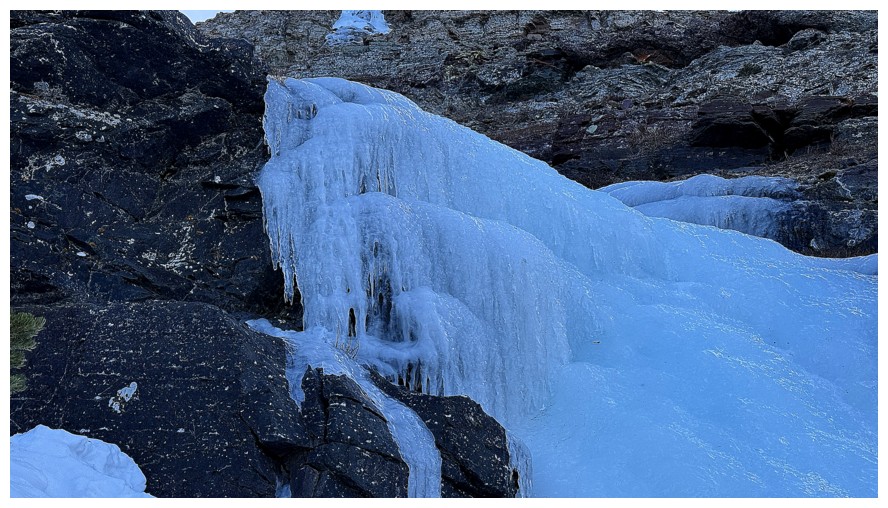
Some nice ice features
Still debating (half-heartedly) if I should continue up the snow
Decision made - onto the rock
Continually glancing over to the rock on the right side will become a thing for quite a while
The origin of one of the ice flows
The route ahead is fun and involves easy scrambling
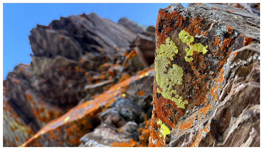
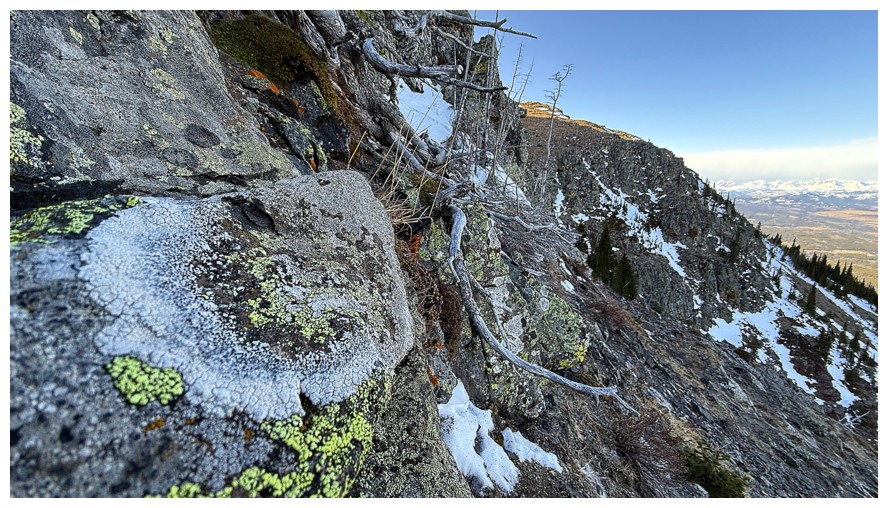
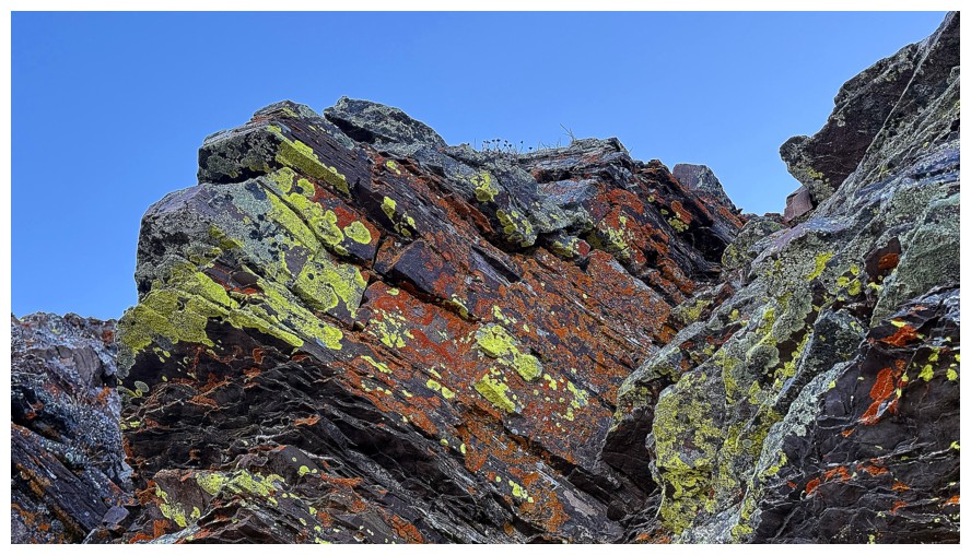
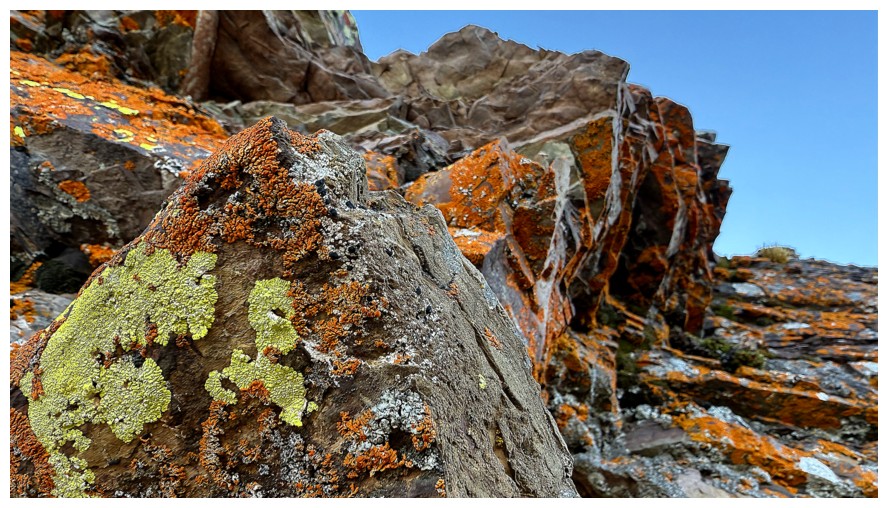
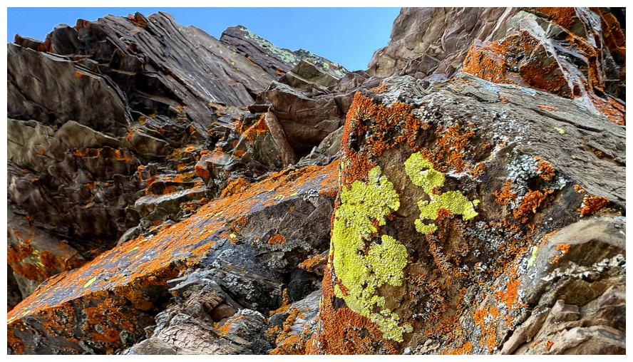
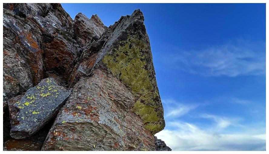
The first of many, many lichen photos
The grade of the upper slopes in the snow gully becomes evident - glad I bailed
The right side again
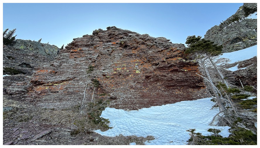
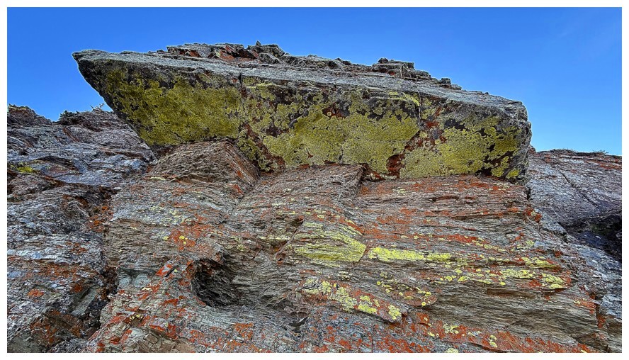
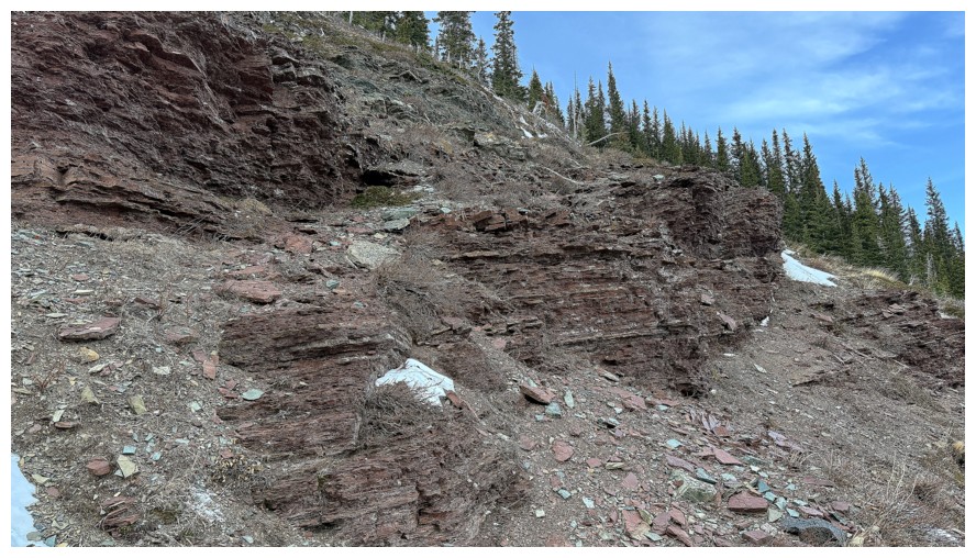
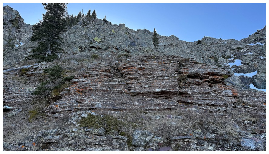
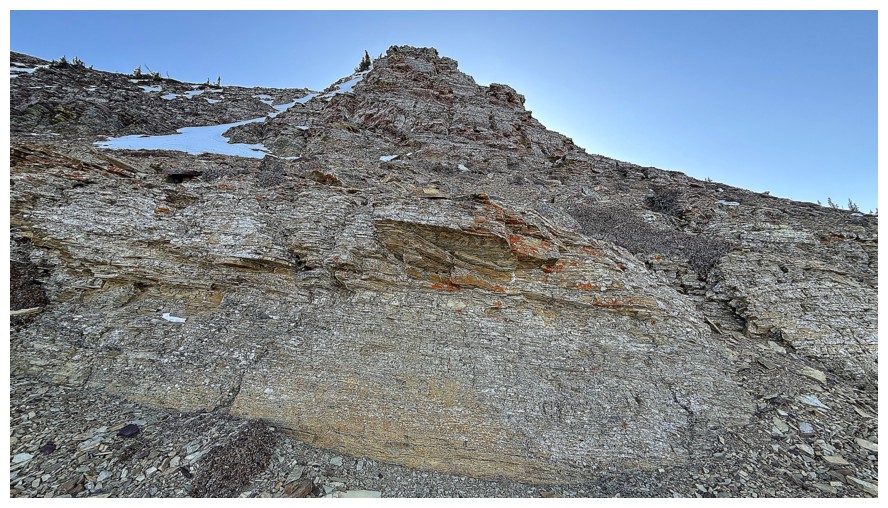
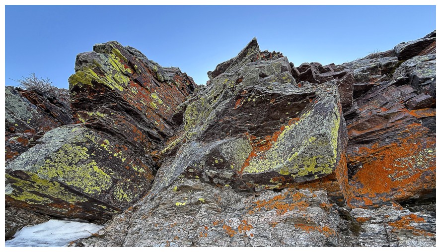
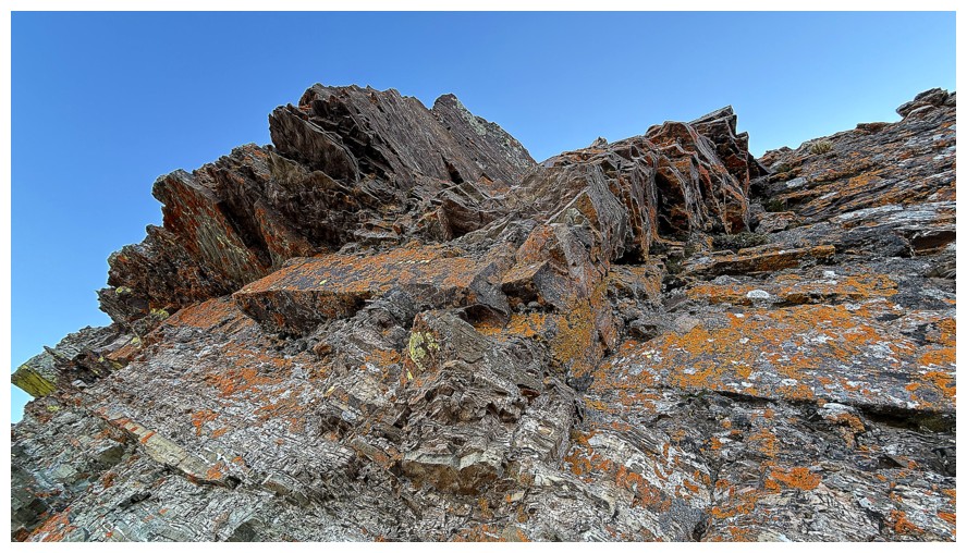
Nearing a very cool band of argillite
At the base, looking right
Looking left
Looking up
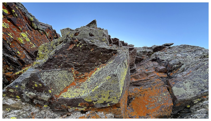
Heading around the right side of the band
Easy route up at the left
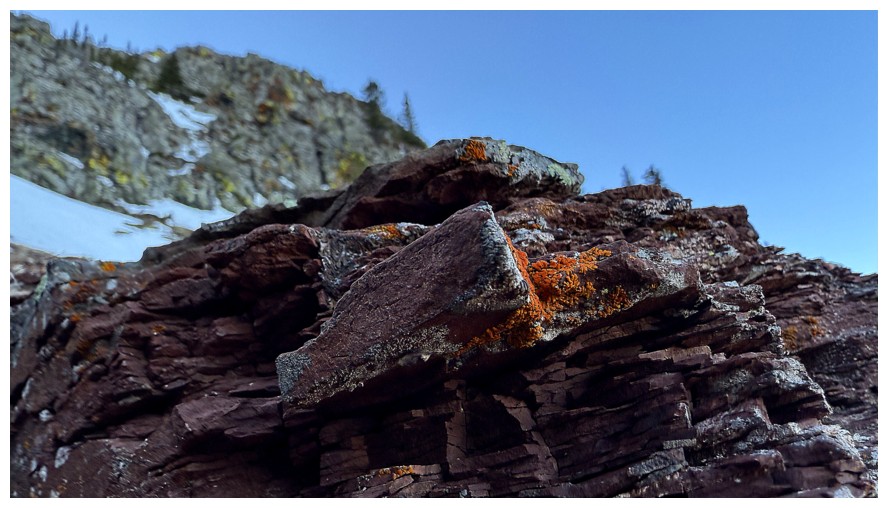
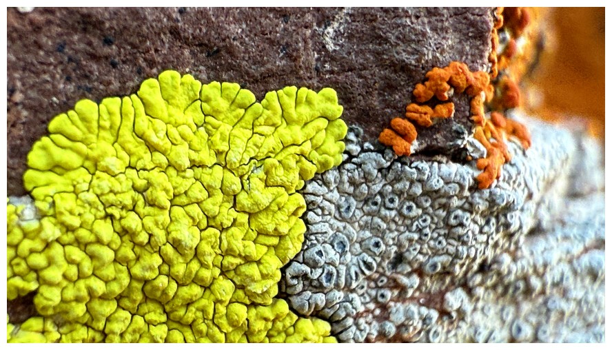
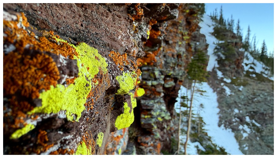
The details of lichen are remarkable
Still a little obsessed with the snow gully
Back to the task at hand
More accurately, the lichen at hand
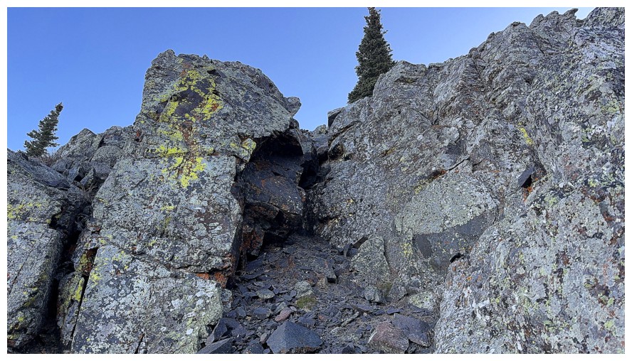
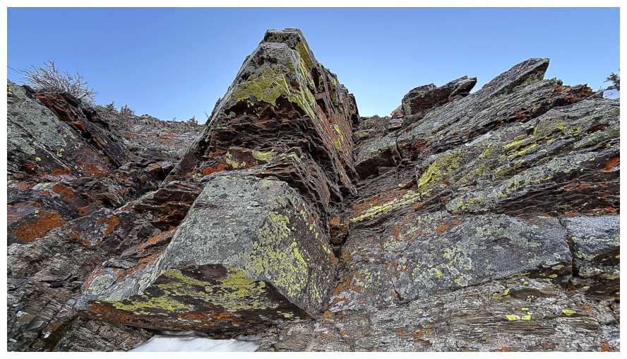
Another cool rock feature
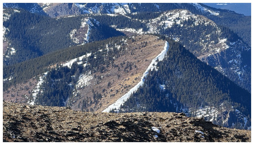
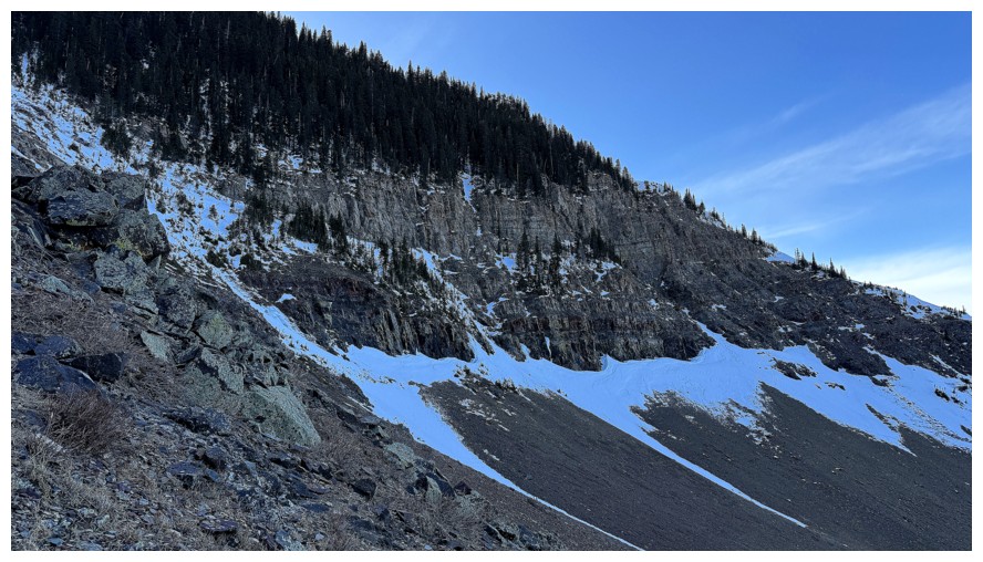
Traversing left towards the next gully that splits the face
The snow gully is now a distant memory
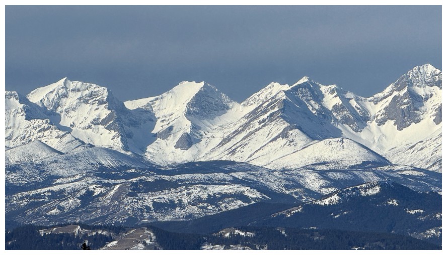
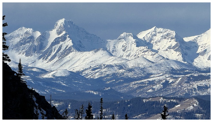
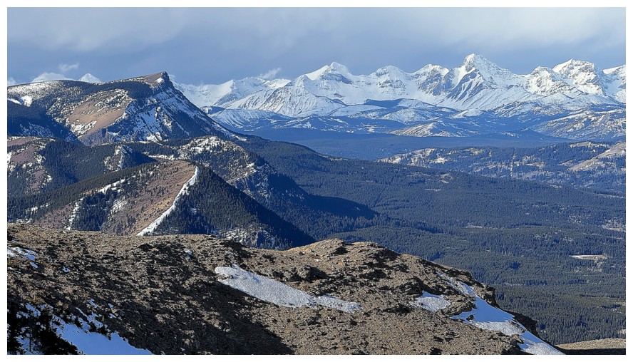
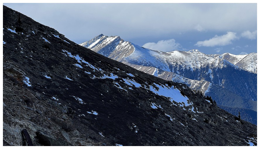
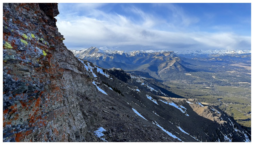
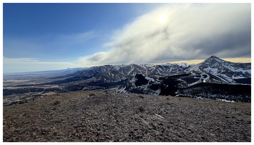
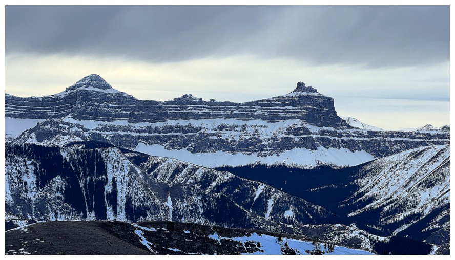
The snowy peaks of the Flathead Range are not. McGladrey and Pengelly are seen here.
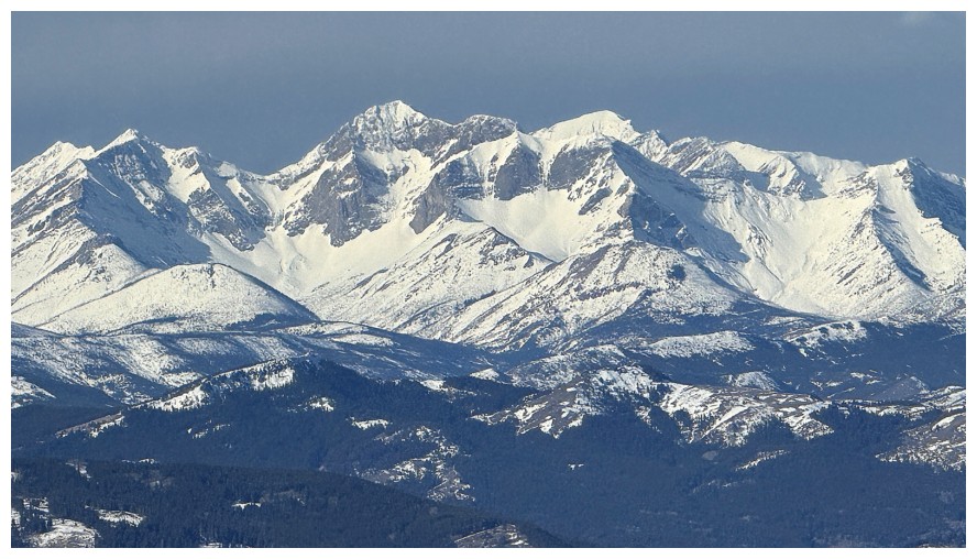
Ptolemy SE5, just left of centre
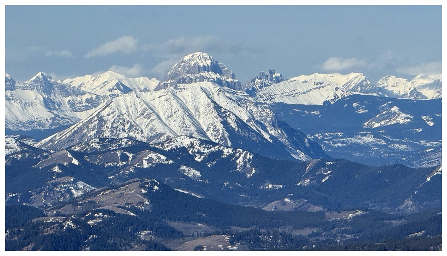
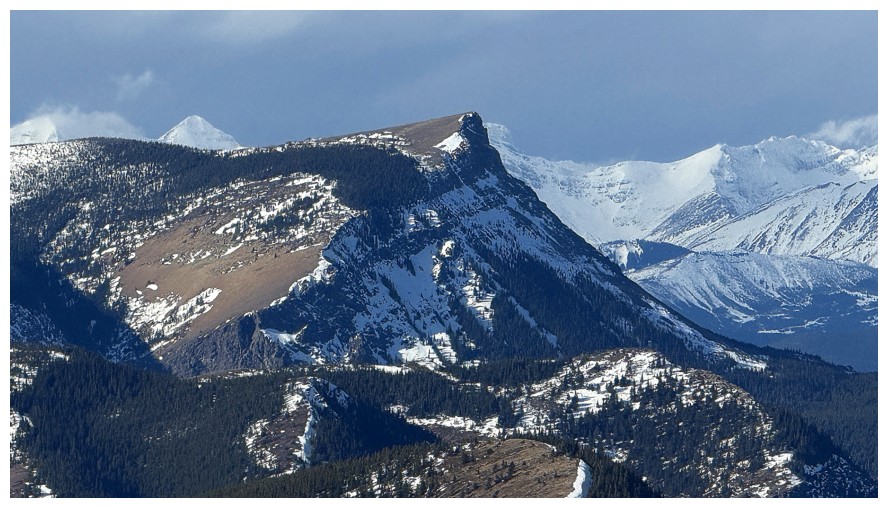
Crowsnest Mountain and The Seven Sisters
Distant Tornado Mountain
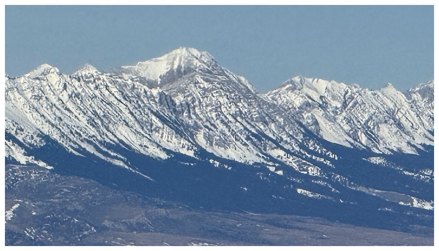
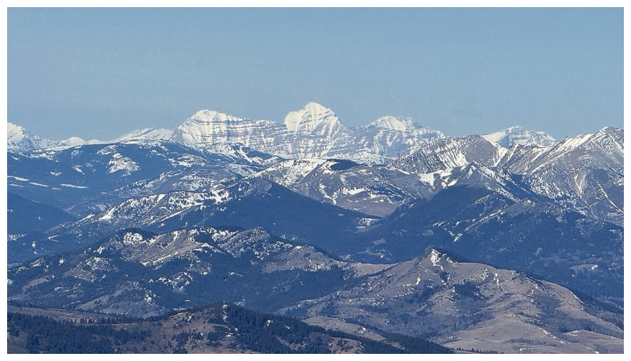
Centre Peak
I think that's Mount Coulthard
I considered going into the gully at the left, but the terrain straight up looked more interesting
Yes it is
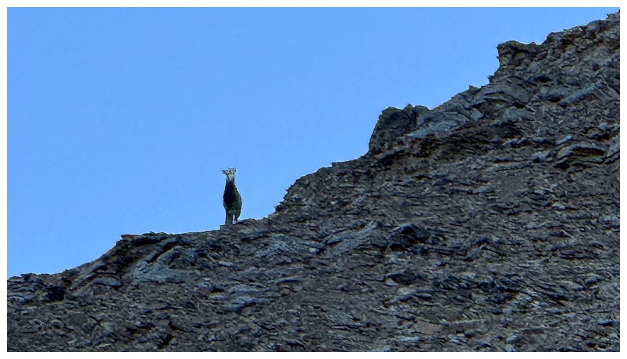
Someone is watching me. Never get into a staring match with a sheep - you will lose!
The route up looks boring but there is some nice scrambling in front
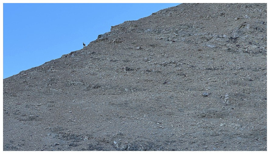
Still watching my progress
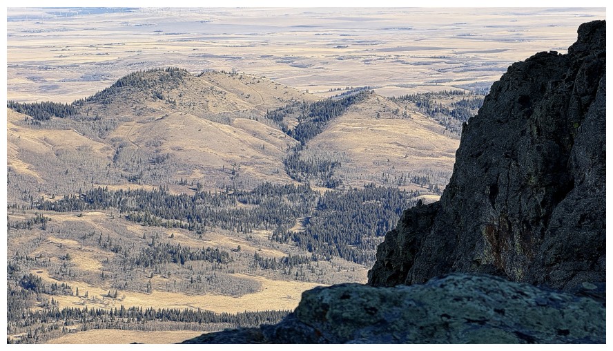
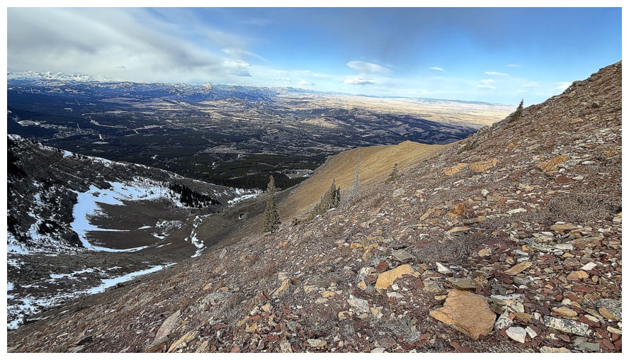
A few of the hills to the east of Prairie Bluff
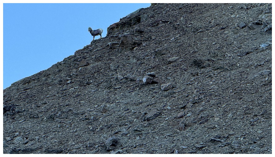
The animal disappeared shortly after
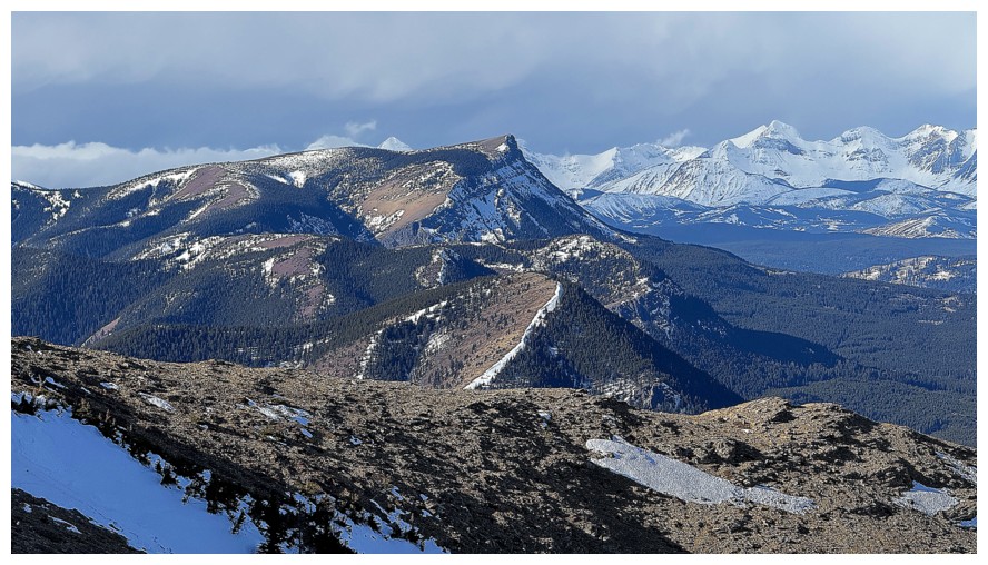
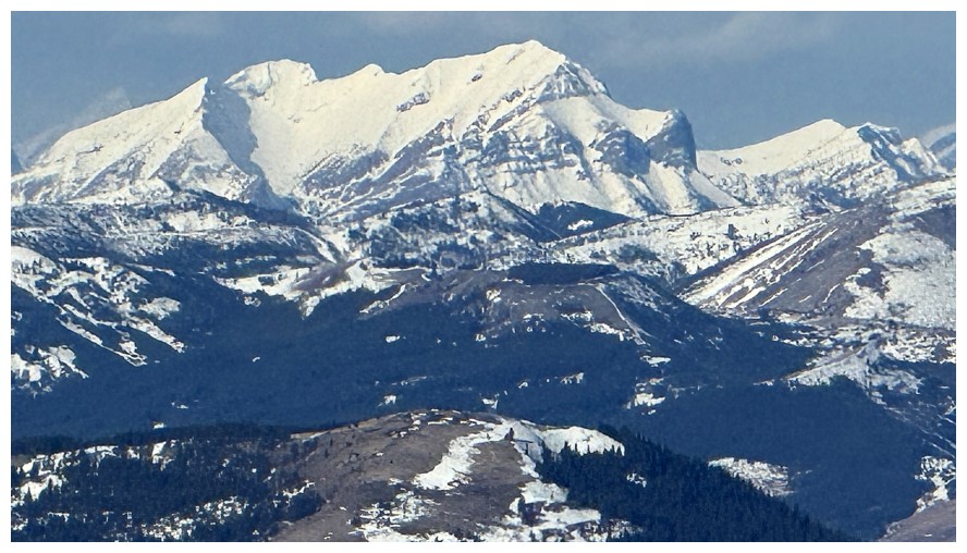
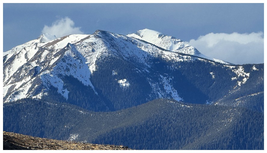
Table Mountain and Whitney Creek Mountain join the show
Same as above, with Mount Darrah (near the right) and many of Darrah's southern outliers
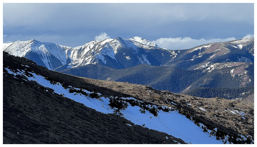
Table Top Peak and Whistler Mountain
Close-up
Close up of Table
Close up of Whitney
Mount Gladstone
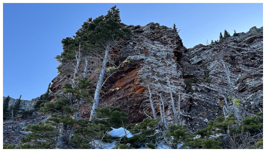
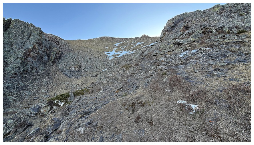
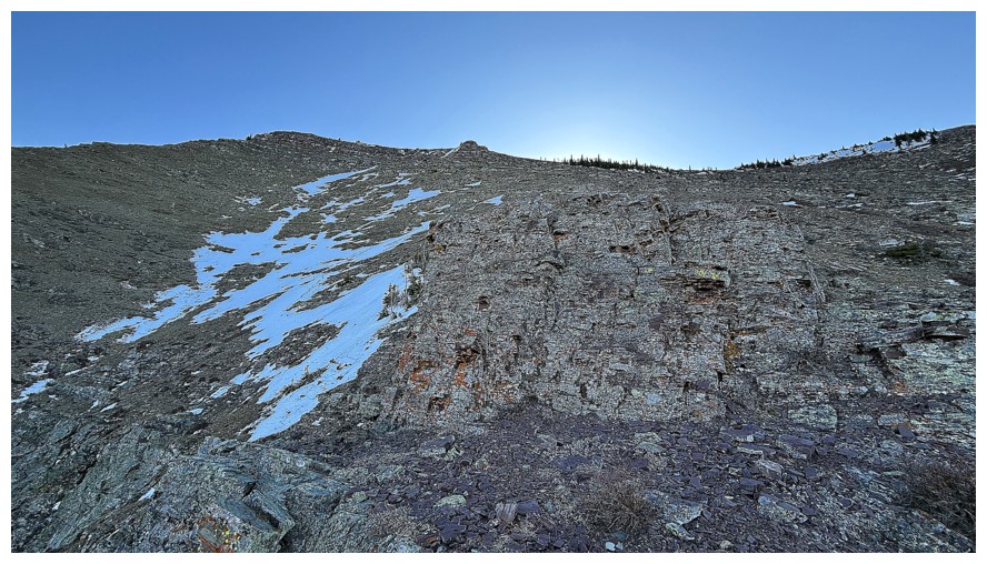
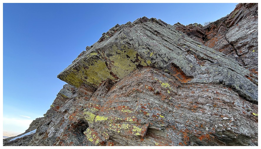
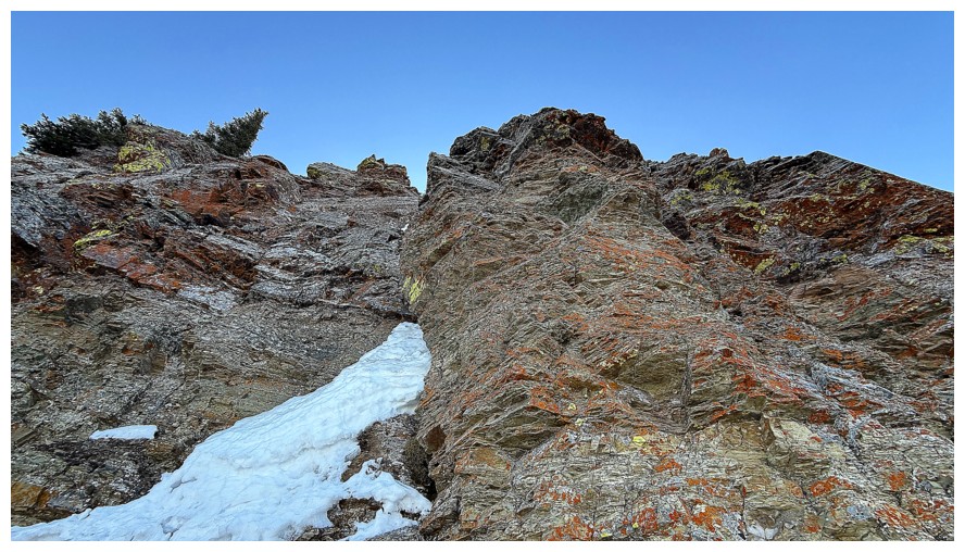
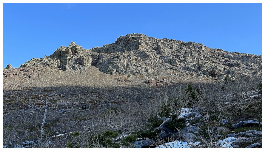
Approaching the ridge
At the rock band that lines the ridge
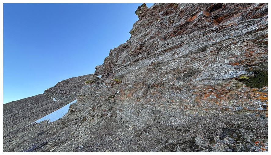
Instead of gaining the ridge, I'll traverse under the rock band towards the summit
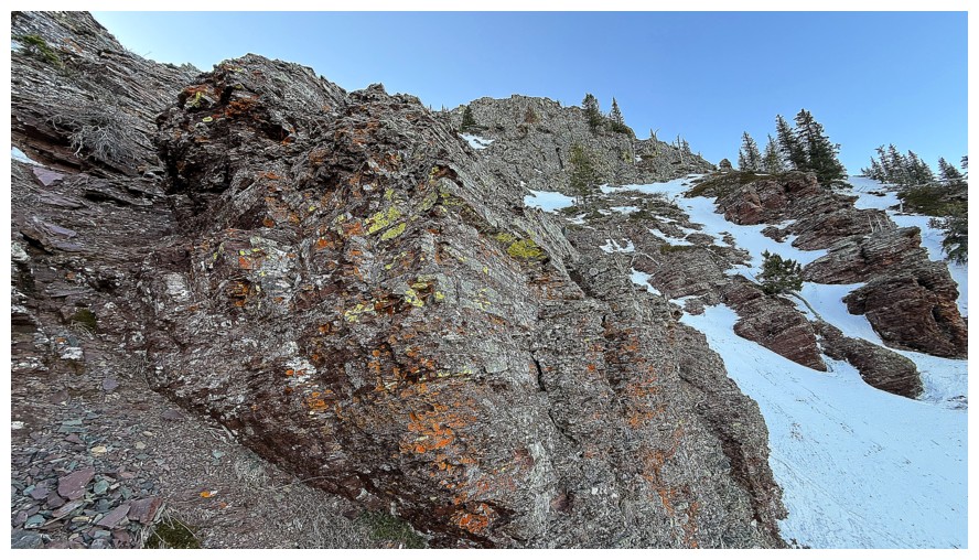
Endless photos of lichen-covered rock that I would love to see when the Sun shines upon it
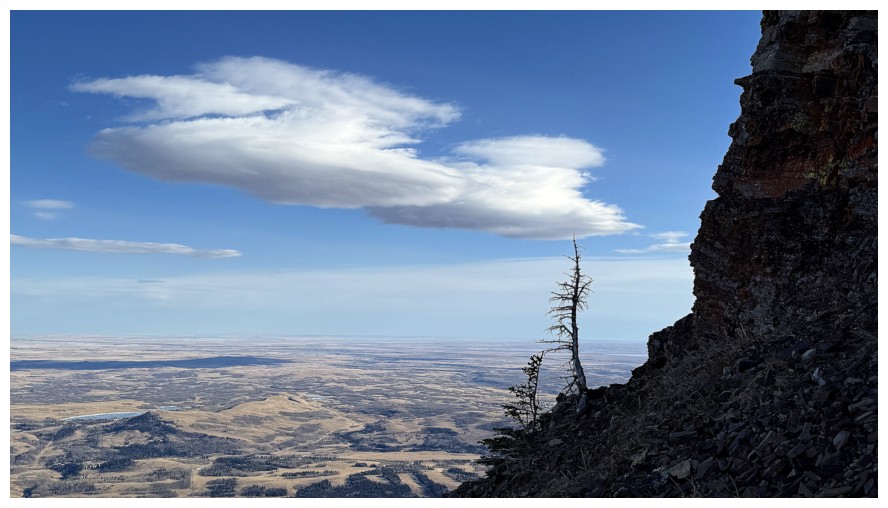
A lone tree and some clouds
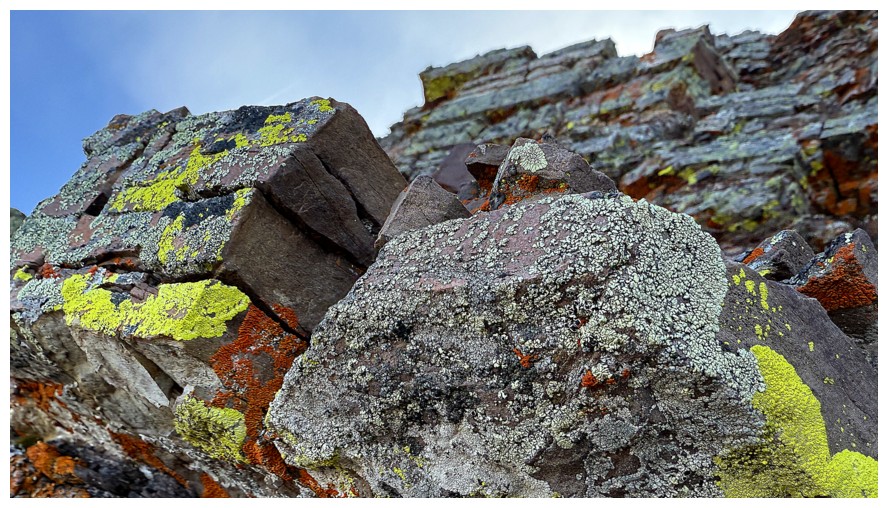
Back to the amazing lichen
Looking down the approximate route we ascended about a year earlier
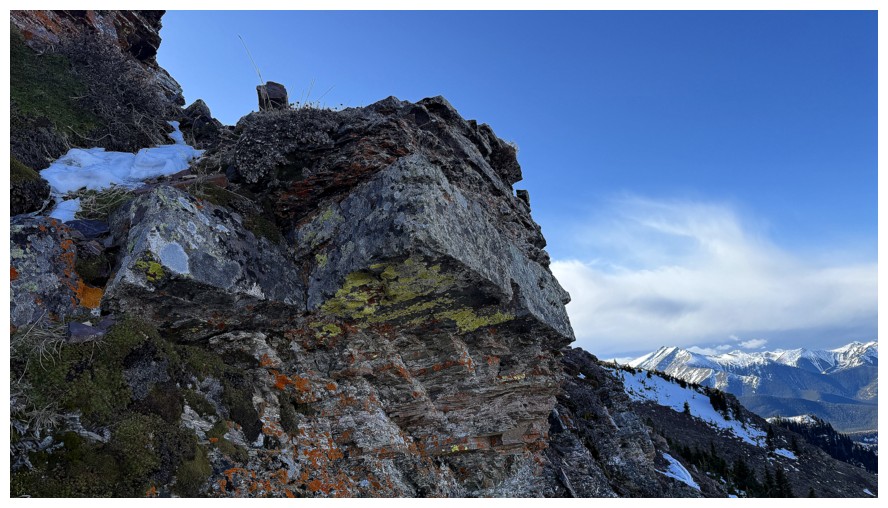
Finally making my way to the summit
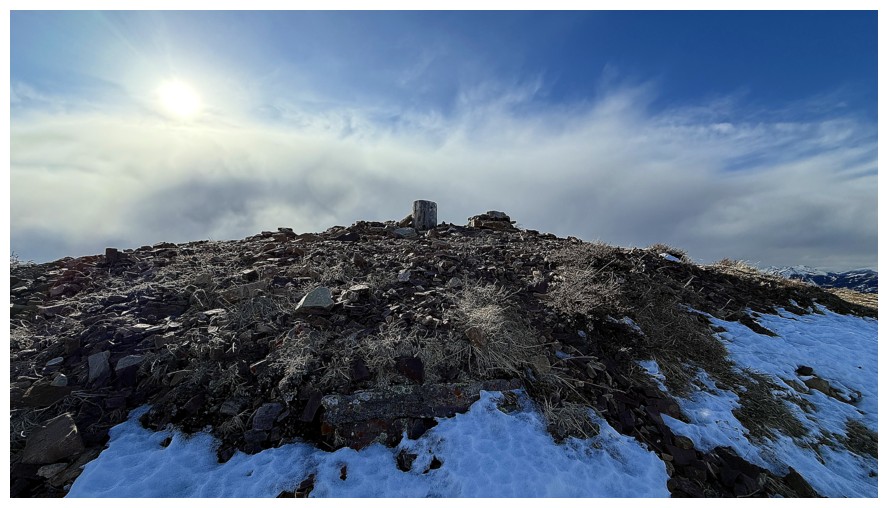
The summit cairn (tree stump)
Clear and cloudy at the top
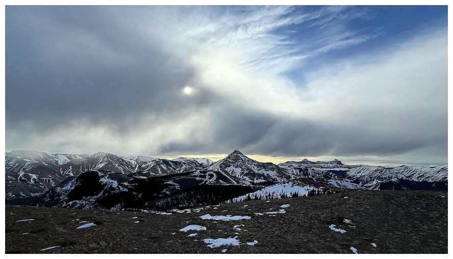
Interesting clouds over Victoria Peak
Close-up of Victoria
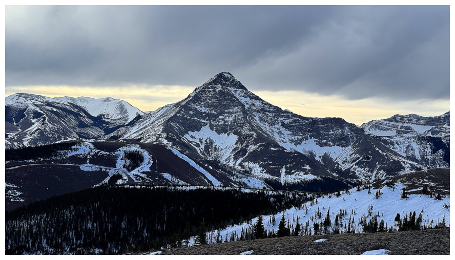
Windsor Mountain and Castle Peak
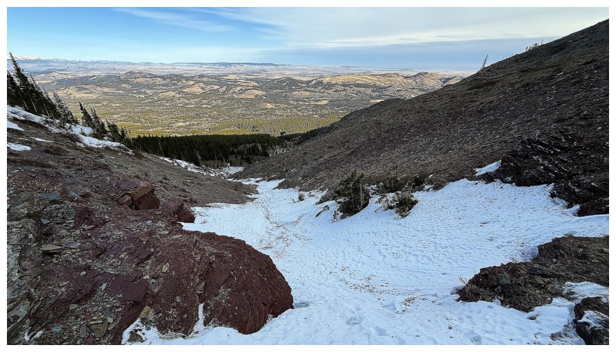
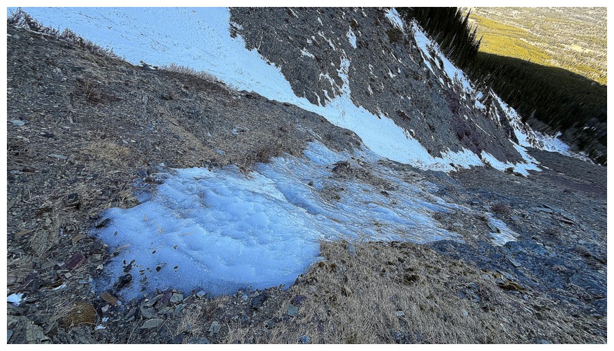
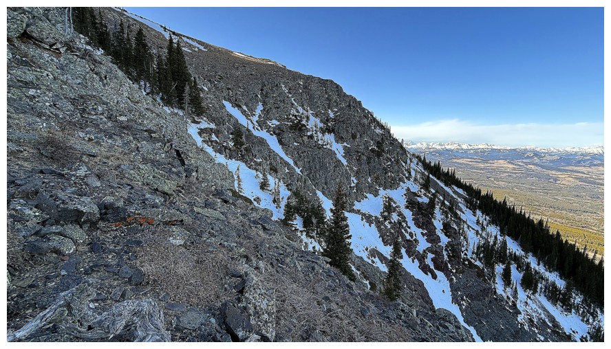
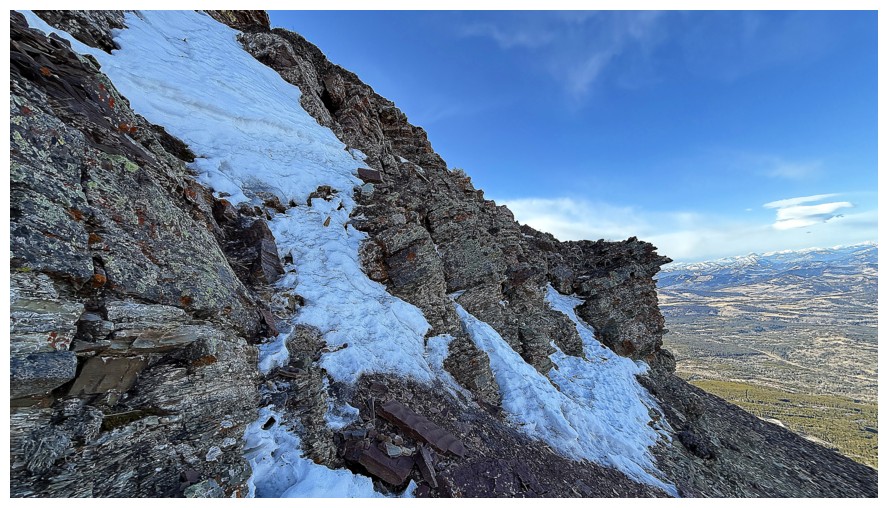
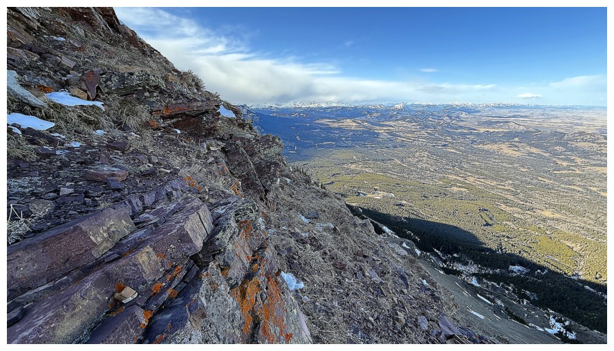
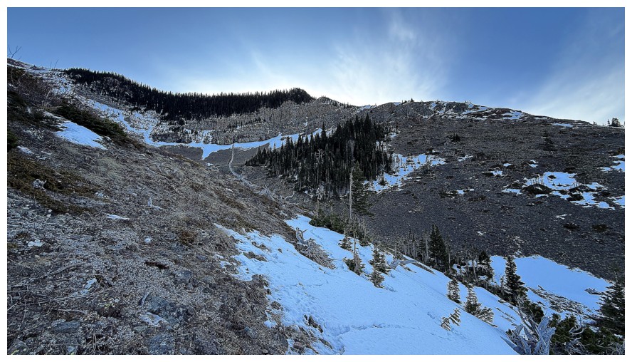
Descending
Much of the descent route
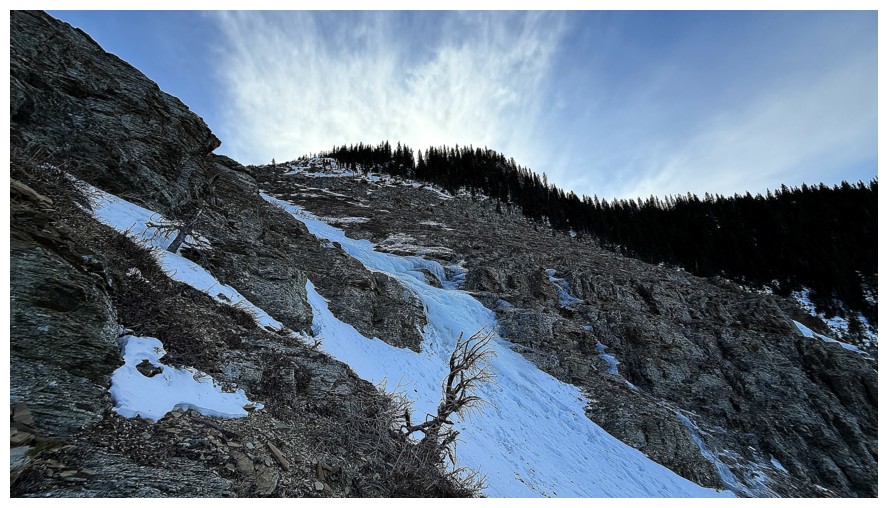
There are several ice formations along the way
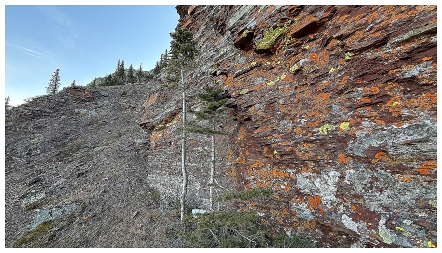
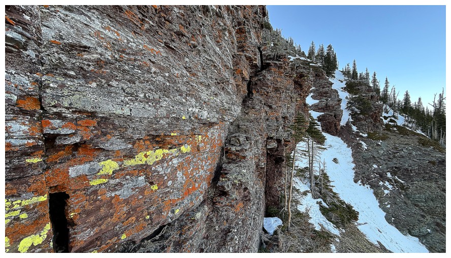
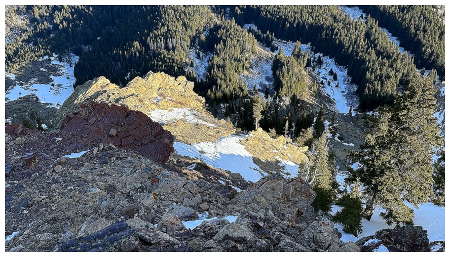
The wall of rock on the west side of the valley is remarkable up close
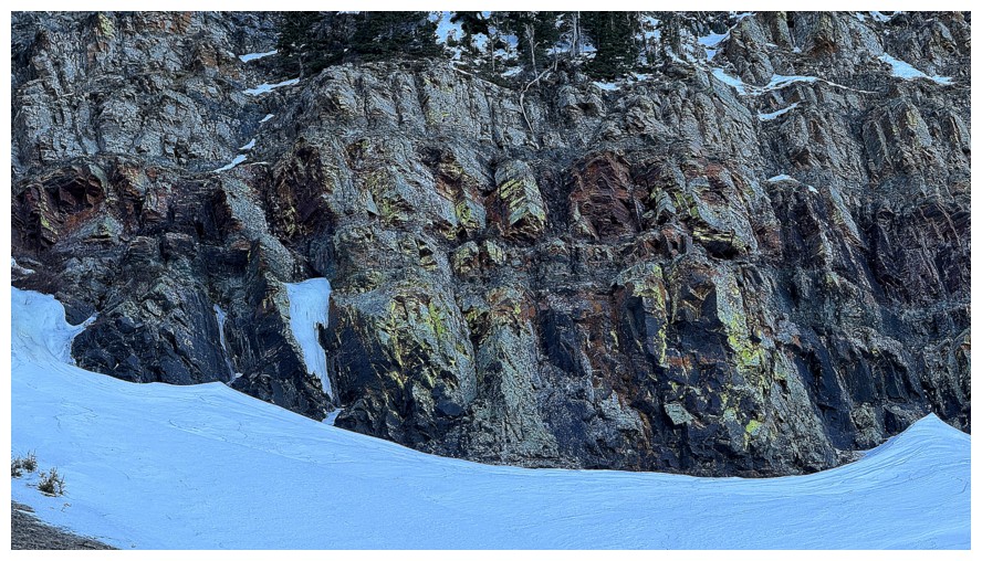
Close-up of the colourful rock, but it needs the Sun's rays
The rock on the east side doesn't look to be as colourful but it is
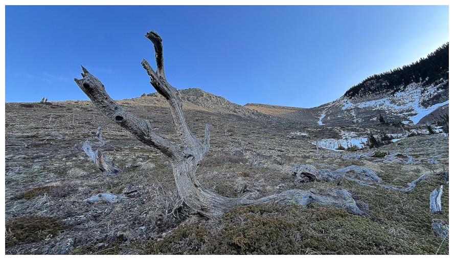
A couple of run-ins with twisted dead trees
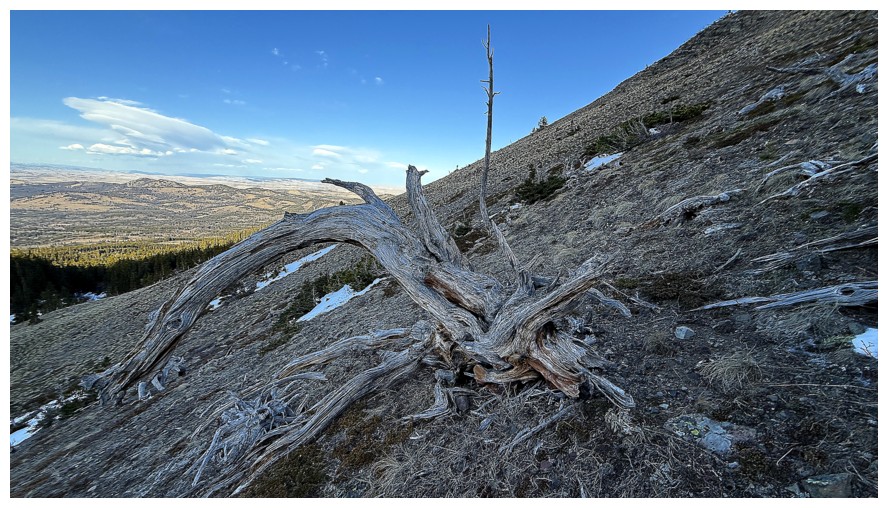
The west side also boasts a circuitous but awesome route to the summit
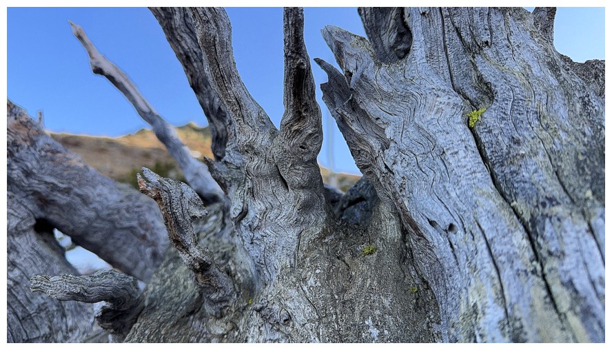
Tree close-up
Looking back at the descent route. Just an easy walk back to the vehicle from here.
The End
LOG