Sofa Mountain V
August 15, 2023
Mountain height: 2515 m
Elevation gain:
approximately 1100 m
Round-trip time: 7:20
Solo scramble.
Not much to say
here, except Sofa Mountain offers way more excitement and interest than its mellow,
unexciting appearance infers.
Yet again, I
had a time restriction for the day, making Sofa an ideal choice. The goal of
the trip was to explore an area of the mountain I had visited on a previous
trip, but with better weather. Instead of descending the north ridge I planned to
go up it, make my way to the summit, and then descend via the “standard” route.
And that’s exactly how it went.
The
highlights
of the trip were fantastic rock scenery at every turn and magnificent
views
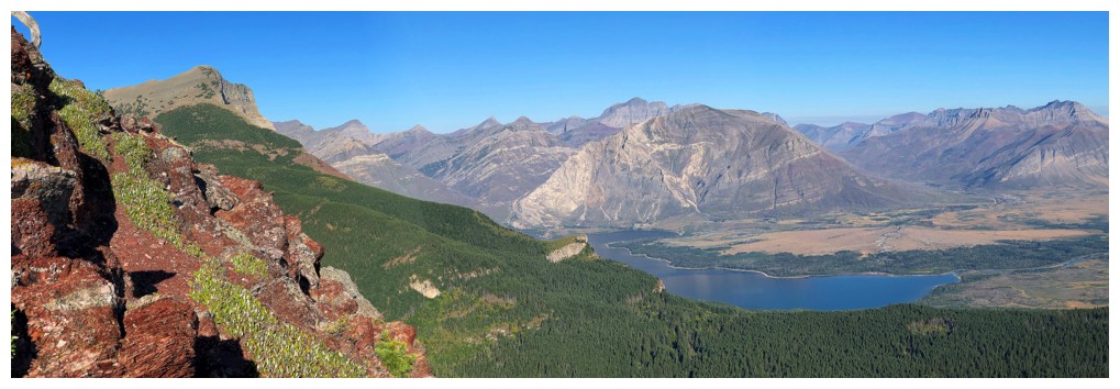
towards Waterton. Though the longest of all the routes I've completed
up Sofa, this one, by leaps and bounds, offers the best views. And
that’s it!
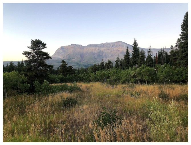
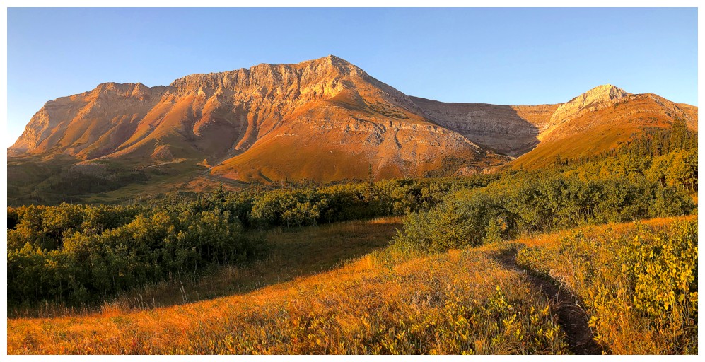
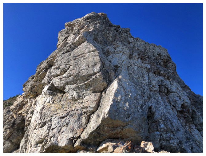
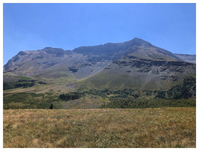
Sofa from the trailhead
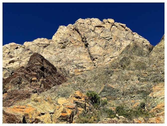
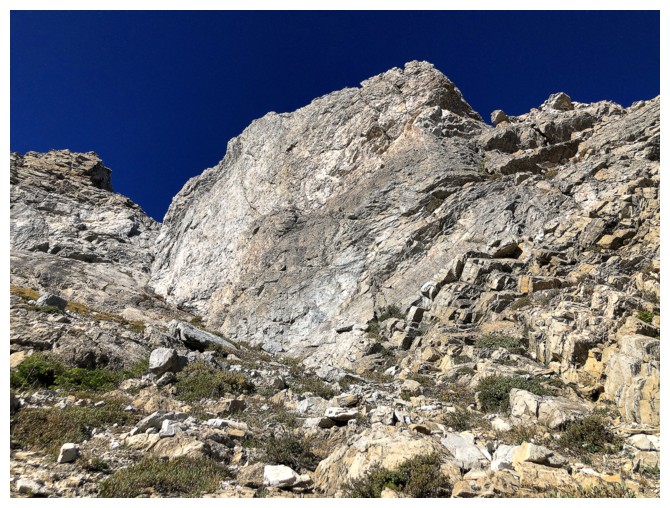
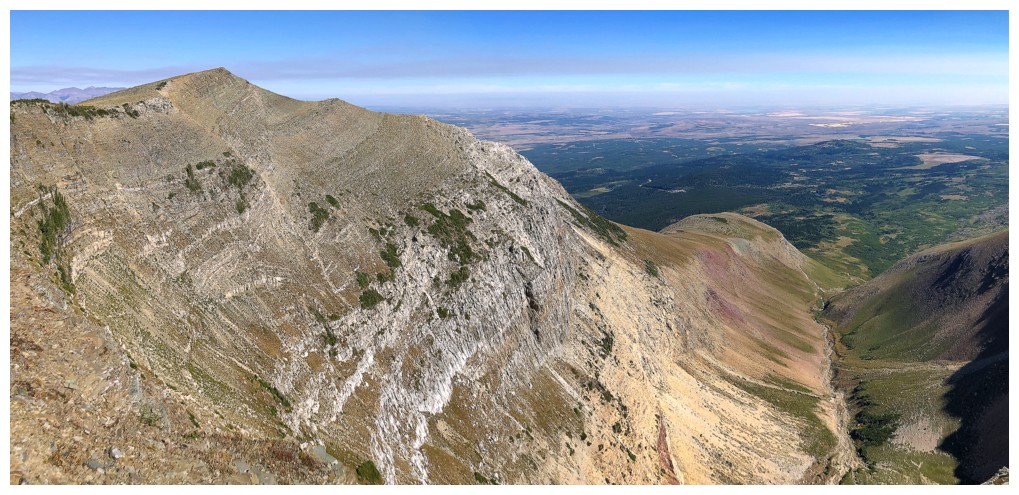
Much better view of the objective and some of the routes up
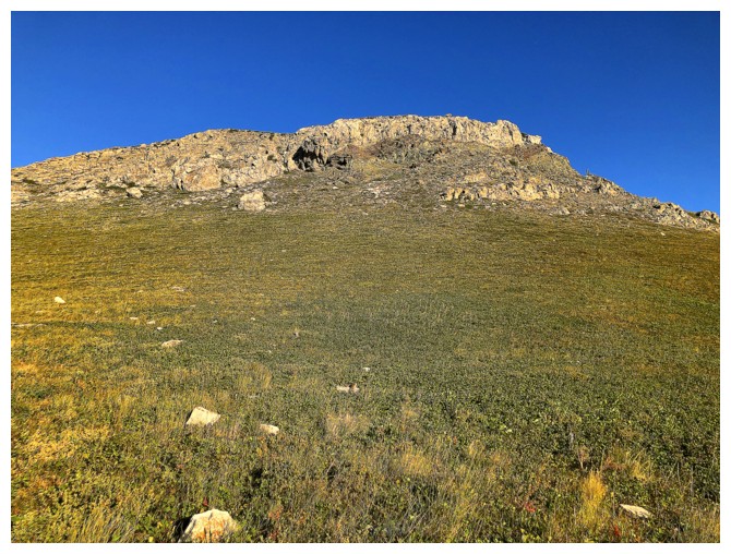
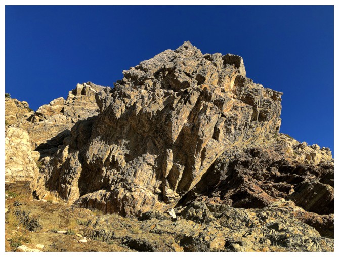
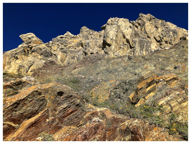
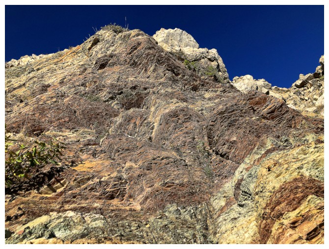
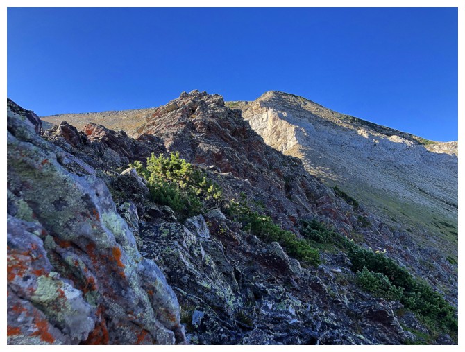
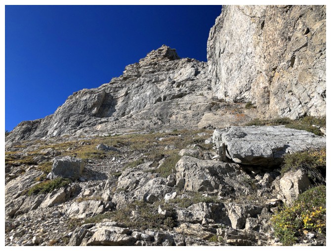
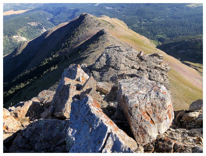
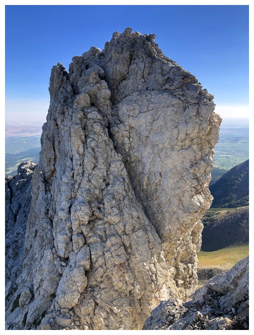
Doesn't look like much from below, but the rock band that lines the northeast ridge is fantastic
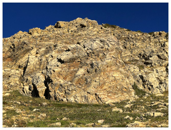
Approaching that rock
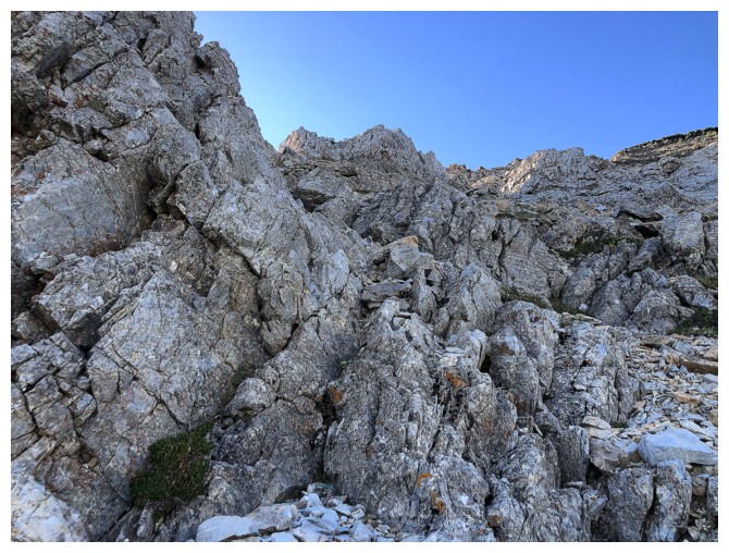
Round 1 of amazing rock scenery
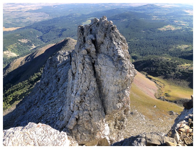
On the northeast ridge looking up at the first route I took up Sofa, back in 2006 with Jodi
The view on the other side of the ridge is pretty darn good and gets better throughout the day
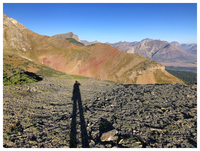
If my legs were really that long, getting over to the next ridge would be a breeze - buying trousers would not!
Vimy Peak in the background and the ridge I'm aiming for in the foreground
Lots of side-sloping to get over to that ridge, but on easy, user-friendly terrain
Starting to see some of the Waterton Lakes
Now they disappear
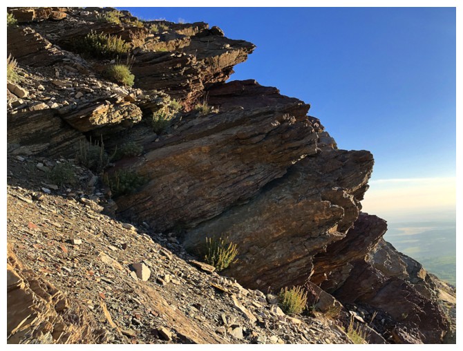
Some of the rock along the ridge I'm aiming for. It ain't red argillite, but it ain't Whistling Dixie either!
Approaching the ridge
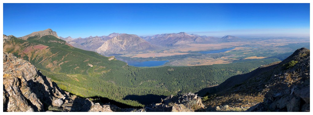
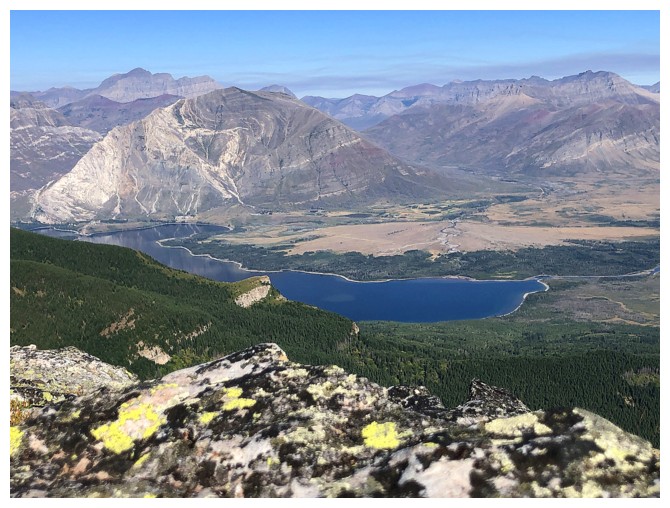
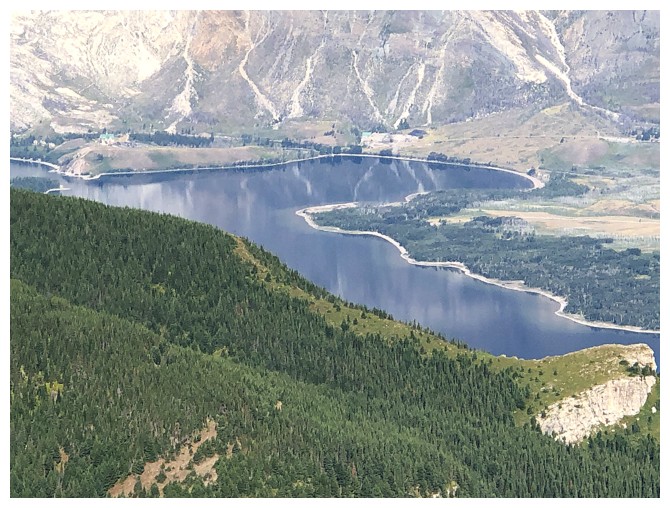
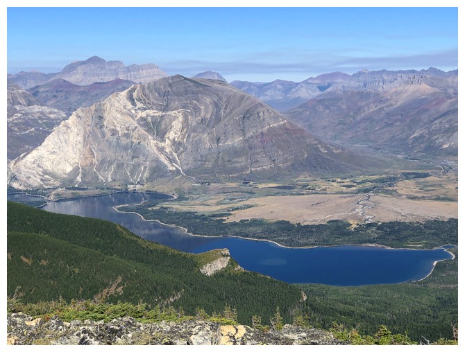
Hello to Lower Waterton Lake again
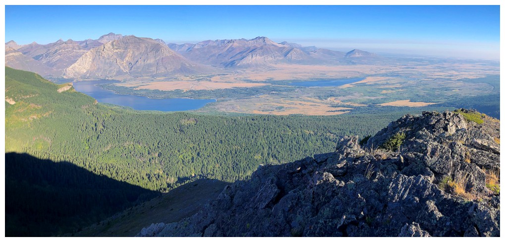
Hello Middle Lake too
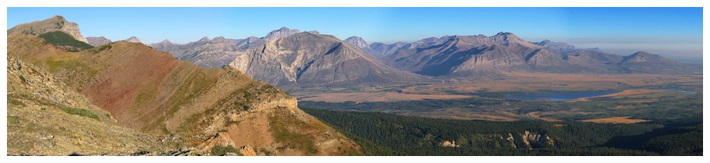
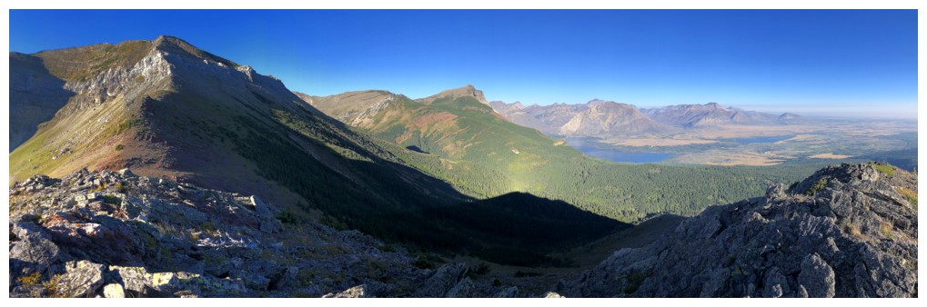
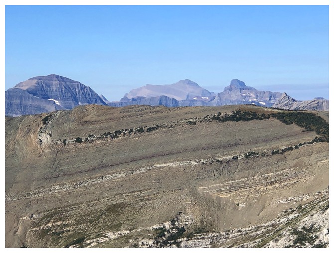
A bunch of Waterton things, including Piinaquiium/Ahkoinimahstakoo (Blakiston), Crandell, and the Middle Lake. The distinctive outcrop of rock near the lower left is part of Saakiihmabii (Vimy Peak) and is called Oomhkataiyg (Lion's Head). Big thank you to Dave McMurray for all the indigenous names.
Looking up the ridge
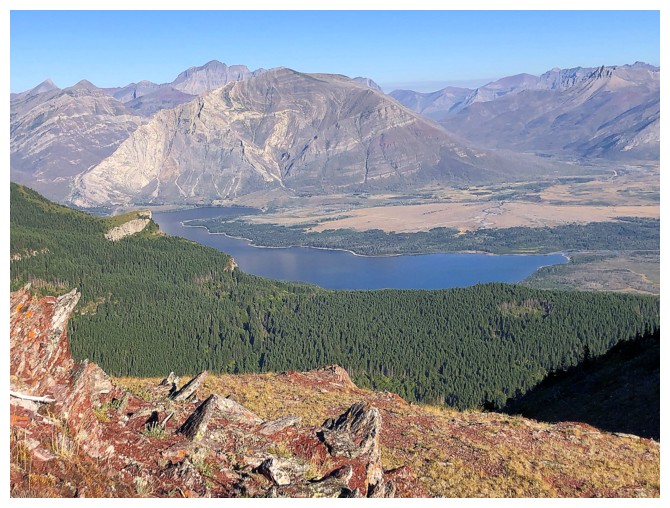
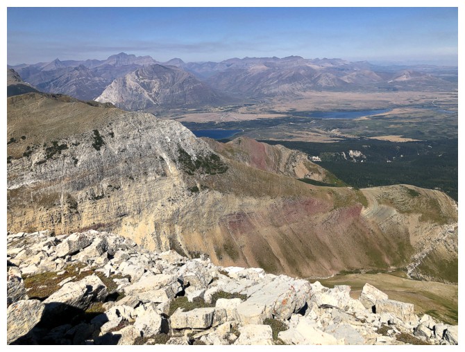
Crandell and The Middle Lake are featured throughout this ascent route
So is Vimy Peak
All of it
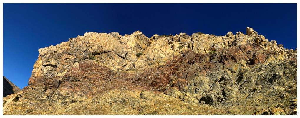
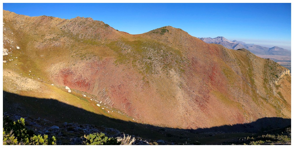
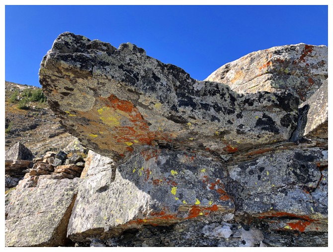
Lichen-covered burgundy argillite
Unfortunately, the Sun's rays won't reach this side of the ridge at this time of the year
This view is going to draw my attention more than once!
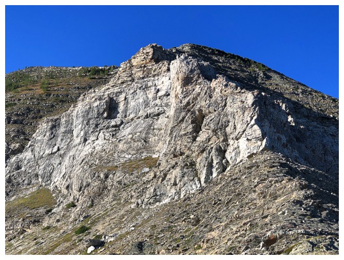
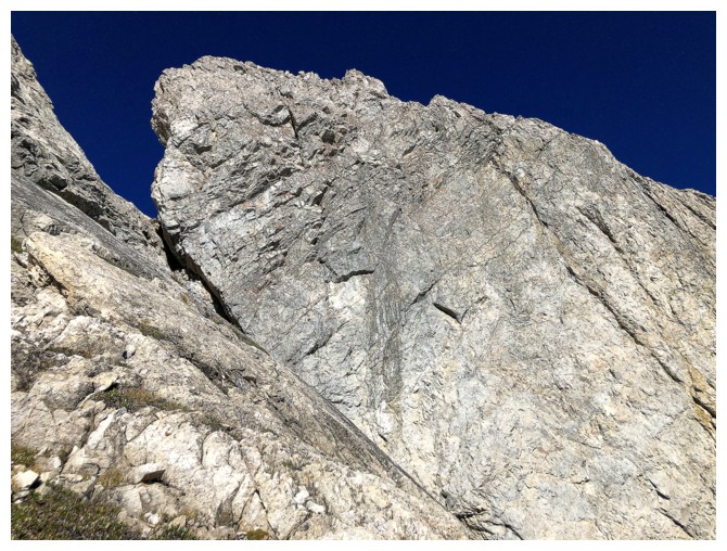
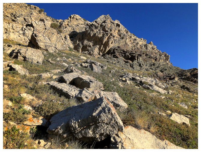
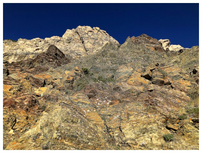
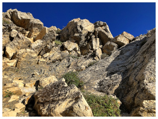
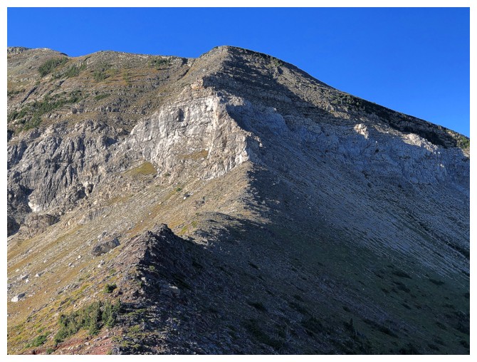
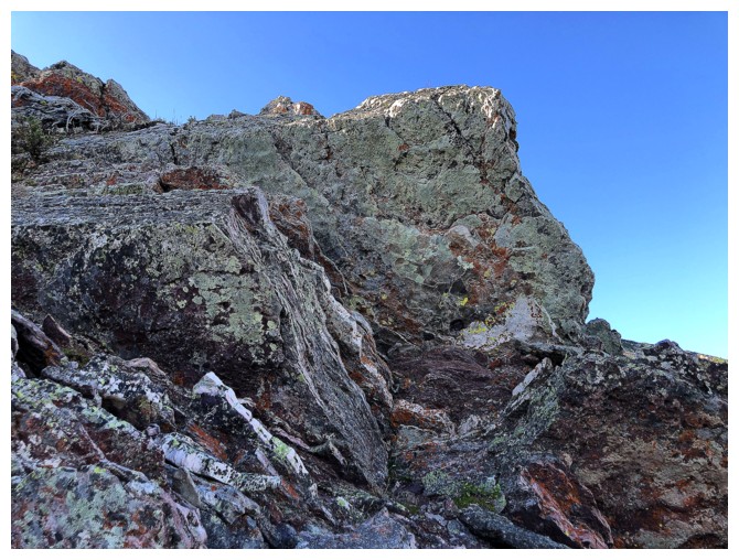
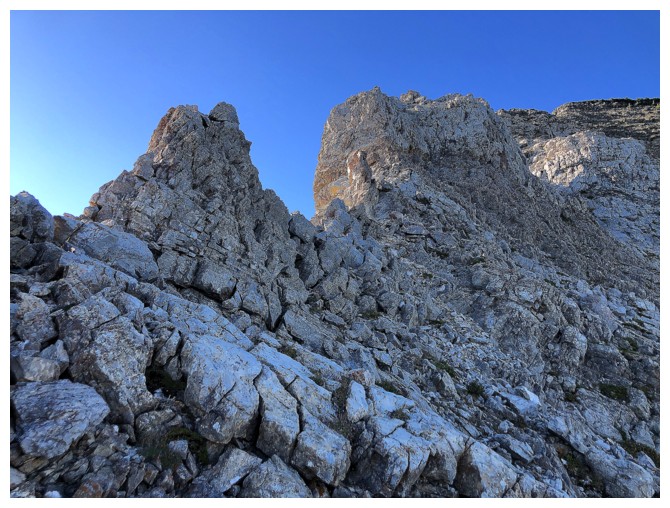
Approaching a significant rock band on the ridge
Looking back to the northeast ridge and the traverse
At the base of the rock band. I knew there was a route up to the right
of the band so I went left to see if there was one on that side.
Going up here had potential
I went up a little more but backed down when the terrain became very steep
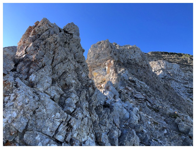
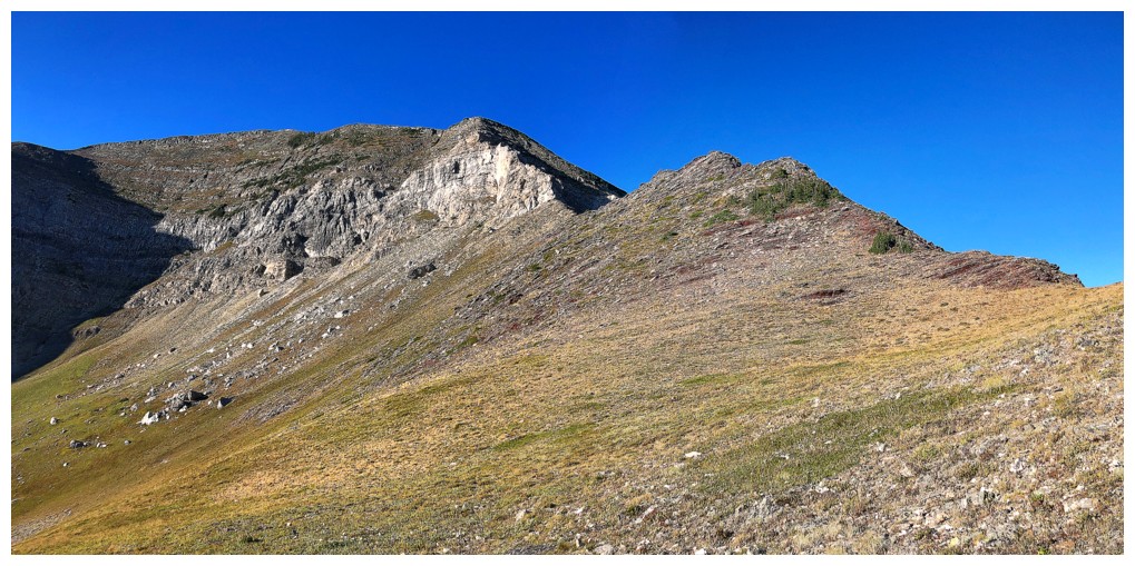
On the right side
Looking down the ridge I'm going up
Looking up the ridge I'm going up
The rock here is solid, prickly, and therefore super fun to scramble up - just don't slip - it would be cheese grater hell!
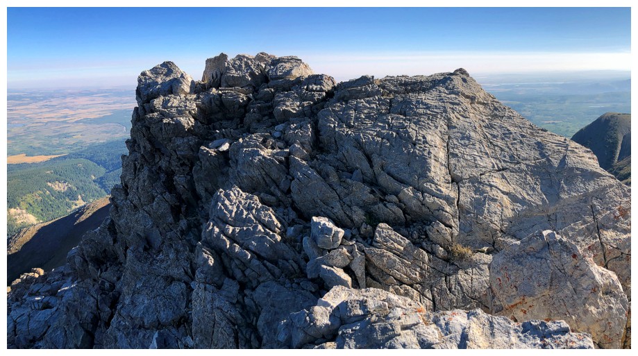
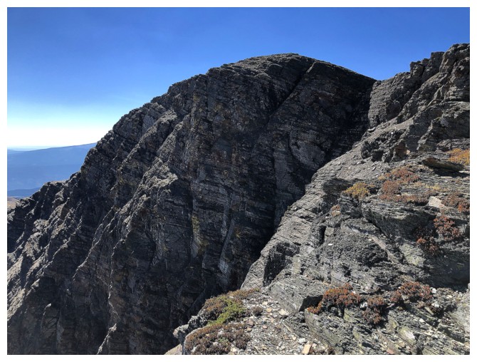
Staying on the ridge proper is not possible without climbing gear
Case in point
Same as above
Can't lose sight of the up-close stuff
Back to the far away stuff
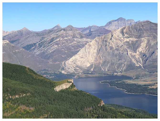
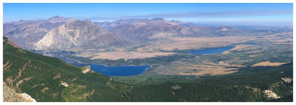
Something I have never seen in this part of the world, at this time of
the year, and this time of the day: the Middle Lake is still and
offering reflections of the surrounding mountains - that's incredibly
rare for windy Waterton
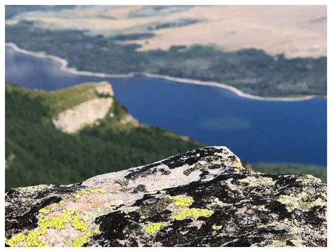
Another lichen close-up with Lion's Head down below
Back to that terrific view of the lakes
Same as above
The Middle Lake was so mesmerizing I couldn't stop photographing it!
The view to the west is opening up
The only thing missing from the view was some red/burgundy argillite and there it is!
Same as above
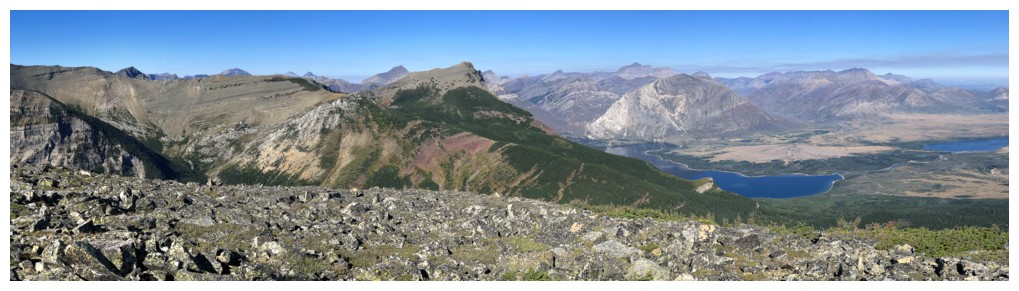
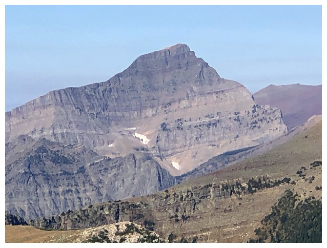
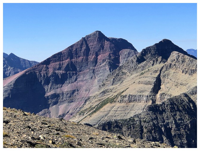
Distant mounts Chapman, Kintla, and Kinnerly, all in Glacier National Park, Montana, U.S.
Not so distant Mount Alderson, in Waterton National Park, Alberta, Canada. So sad that we have borders in the world. "Something there is that doesn't love a wall....".
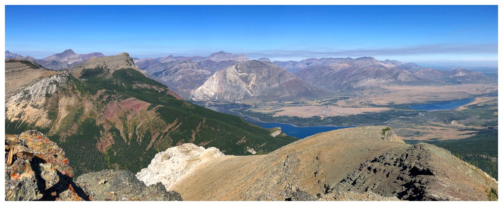
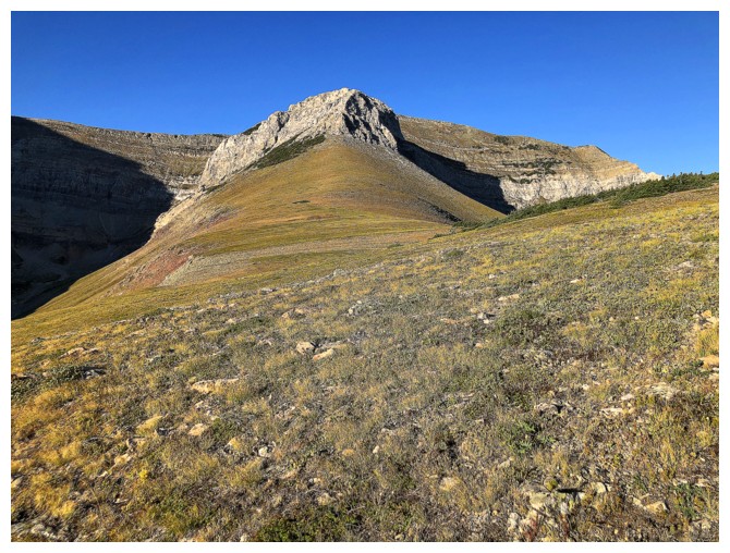
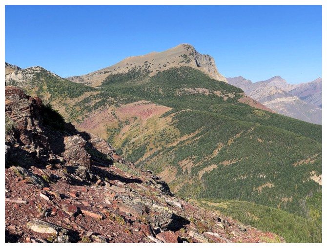
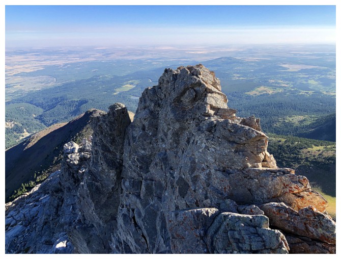
Perhaps the best view of the day
The summit of Sofa (just right of centre) is still a good distance away
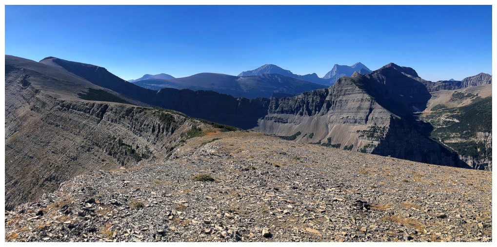
Mount Cleveland (right of centre) finally makes an appearance
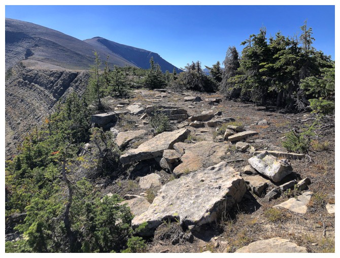
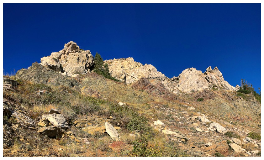
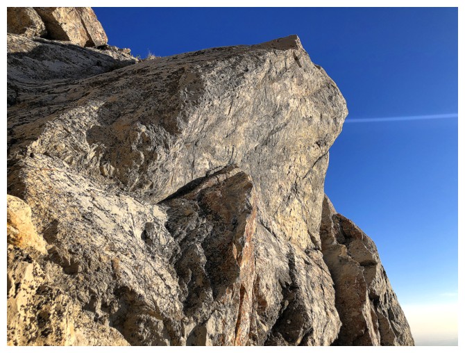
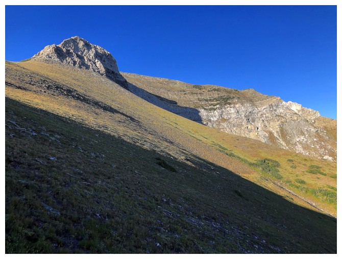
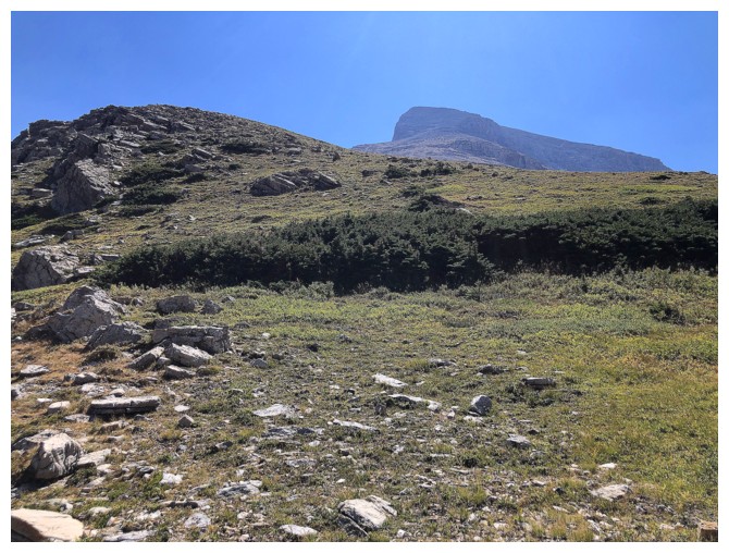
Easy and pleasant terrain all the way to the summit
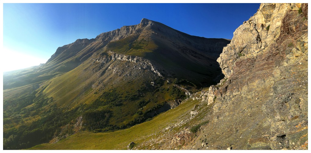
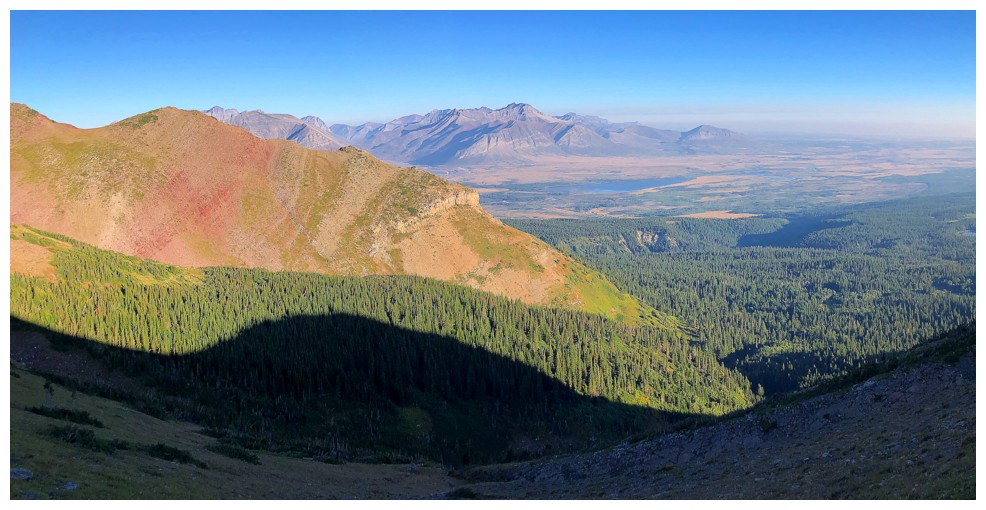
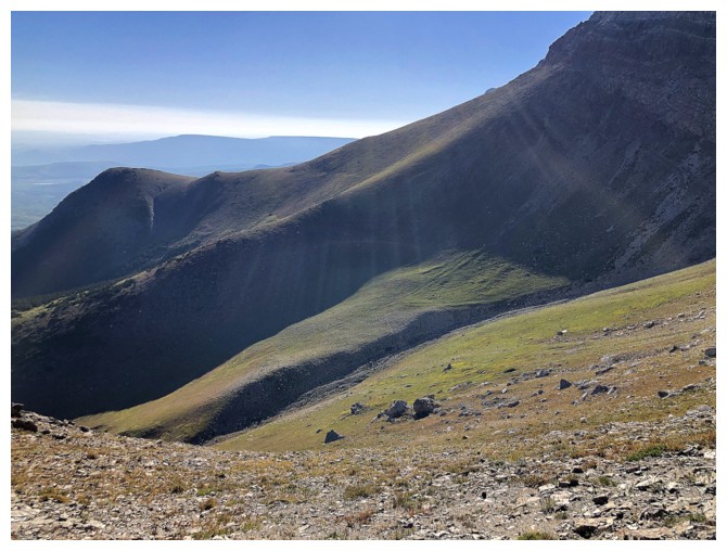
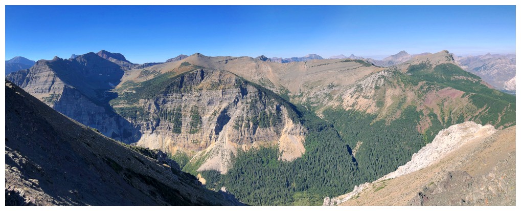
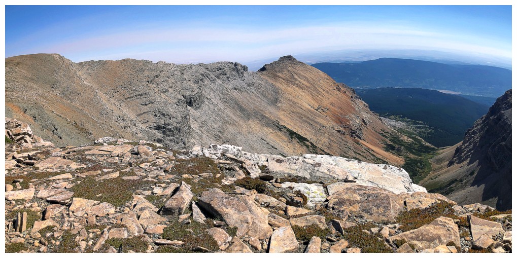
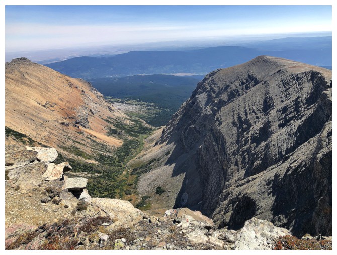
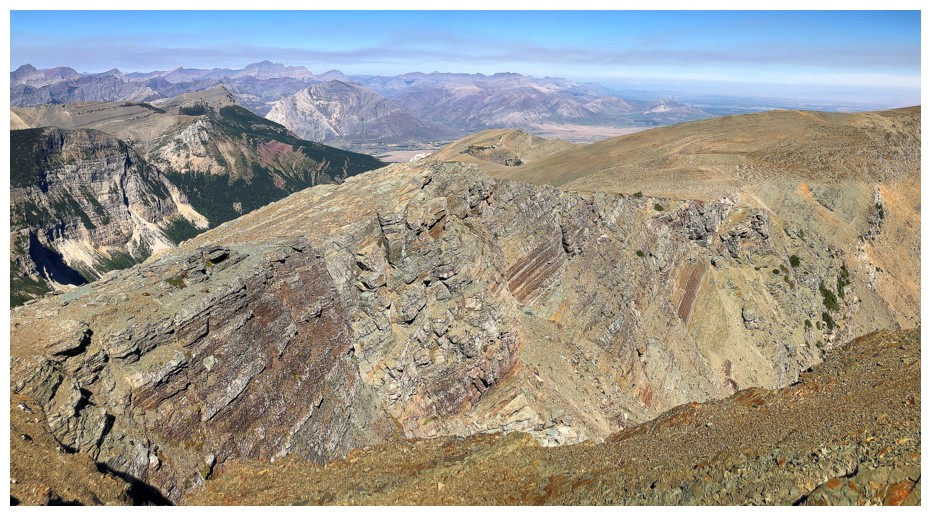
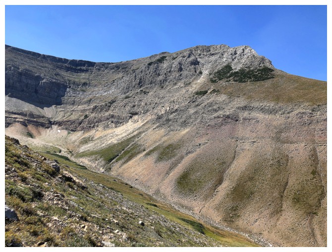
Looking down the valley that separates the northeast ridge from the
standard route. The terrain is steep but less steep than it appears and
there are many routes up.
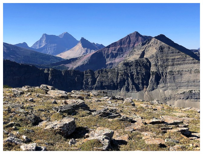
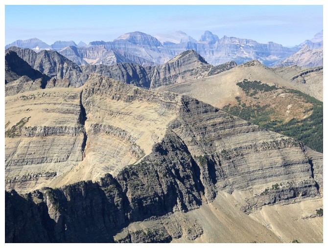
Cleveland, Miche Wabun, and still my favourite trip to date, Crypt Peak
Close-up of Crypt
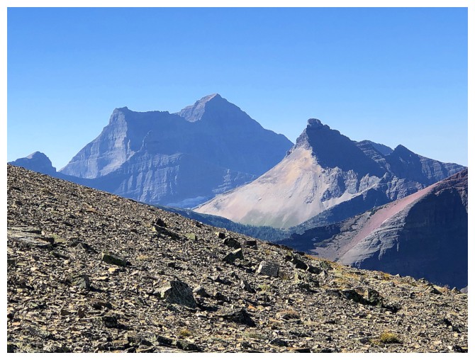
Close-up of Cleveland and Miche Wabun
Close-up of nothing
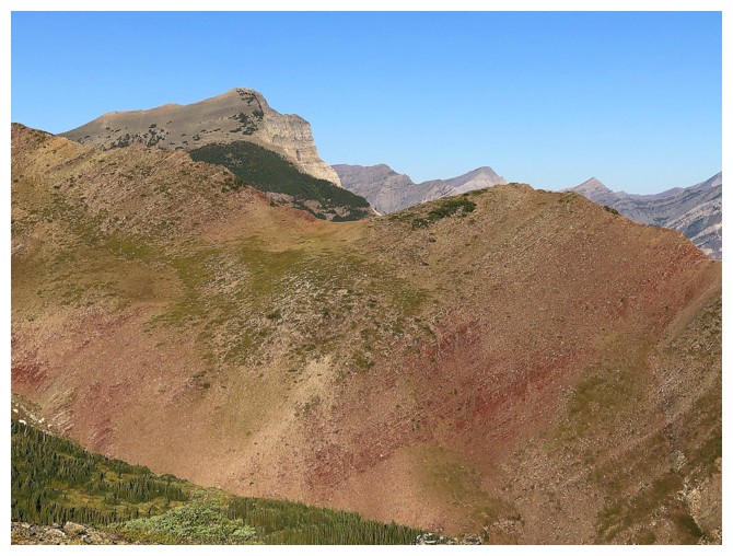
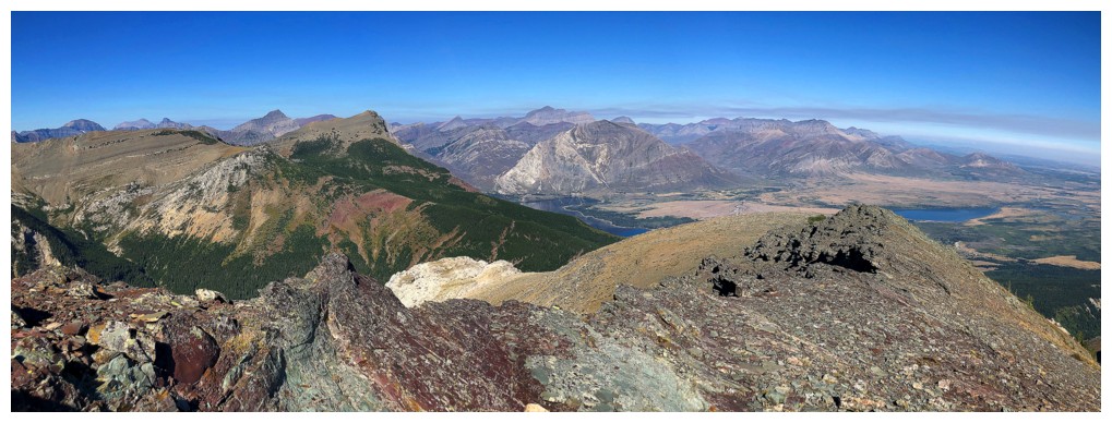
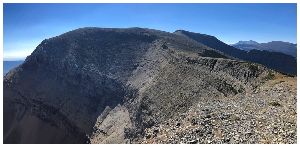
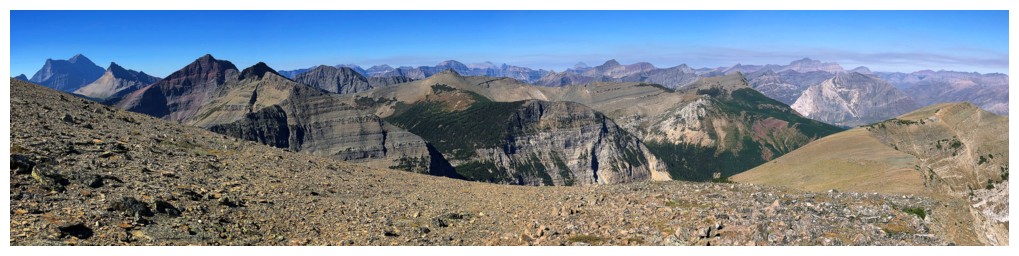
A semi-nostalgic look at the the ridge (foreground) connecting Sofa Mountain to Vimy Ridge
Another semi-nostalgic view; this time of "Sofa East"
There's the summit of Sofa
The valley between Sofa East and the next ridge to the south
The ridge in the foreground is called the "Sheep Shearer's Ridge" and is quite exposed
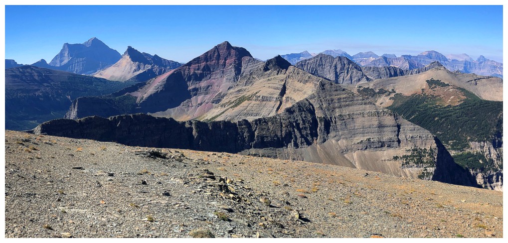
The east side of Sofa has tons of exposed, colourful rock
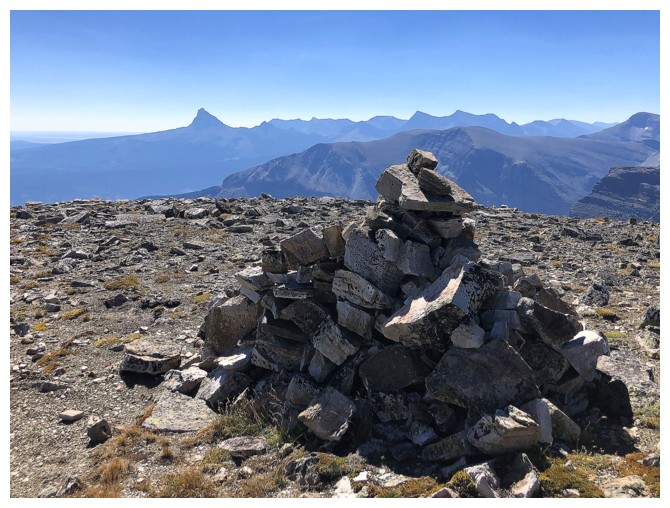
Summit cairn. A small shelter has been built on the other side and does provide some reprieve from the wind.
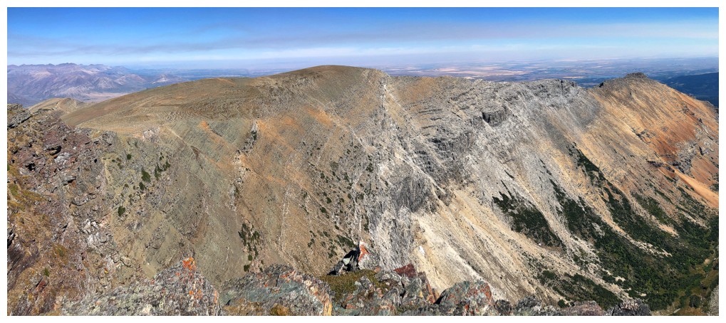
The length of Sofa East
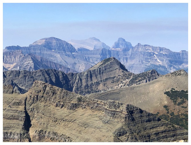
A much better view of distant Chapman, Kintla, and Kinnerly. The peak in the middle is Mount Boswell.
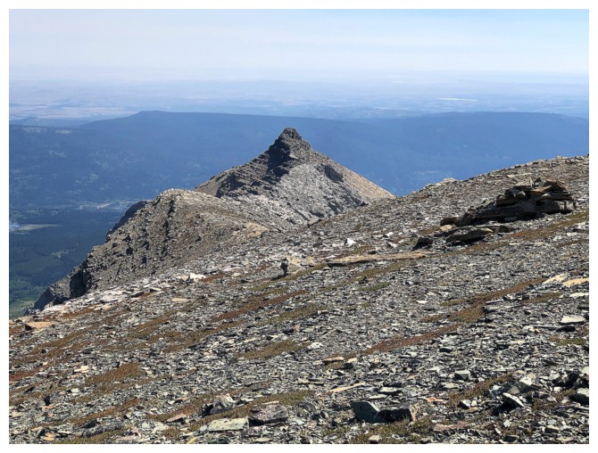
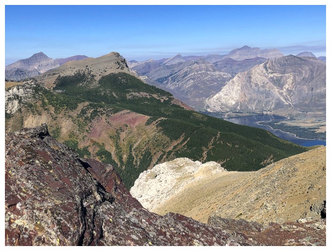
Heading home. Sofa East is quite a distinctive peak.
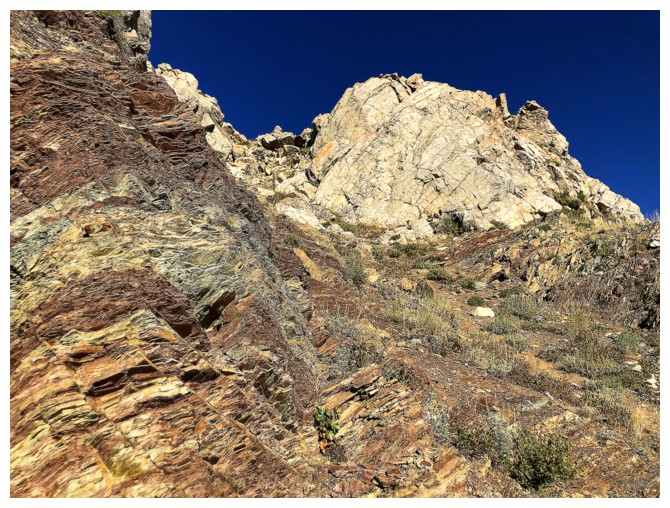
The north and northeast ridges are both visible here
The northeast ridge, as seen from the standard route
Looking back up the standard route
Parting look at Sofa
The End
LOG