Cinch Hill IV
 January 2, 2023
Mountain heights: 2180 m and 2079 m
Elevation gain: approximately 350 m
Round-trip time: 4:50
Solo scramble.
Although I had
hoped to leave Calgary very early to make it down to Waterton by 9 am, where
Matt Clay and his party were attempting Mount Rowe, that plan was not meant to
be. It was late morning by the time I arrived in Southern Alberta and so I
settled for what’s rapidly becoming “an old favourite”, Bridle Peak – one of
the eastern outliers of Pincher Ridge.
Having reached
the summit of Bridle several times via 3 different routes, the question of the
day was could I find a new one? Not surprisingly….yes! I chose to attempt the first
major drainage between Bridle and Cinch. From afar, the snow-filled gully appeared to
offer generally easy terrain and hopefully the snow would make for an enjoyable
ascent.
And aside from
one steep section lower down, where I wasn’t confident the snow, with running
water underneath, would hold my weight, that’s exactly what happened. Above the
steep step, I put on crampons, took out my ice axe and coasted up to the
ridge between the two minor highpoints. Bridle Peak was reached shortly after
and the requisite number of photos of views I’ve seen numerous times over the
years (but still never cease to satisfy me) were taken.
I then hiked down
and slightly up to Cinch Hill, again took a few photos, and availed myself of
the easy descent route on the southeast side of the peak – a more than gratifying
loop.
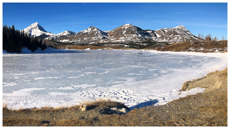
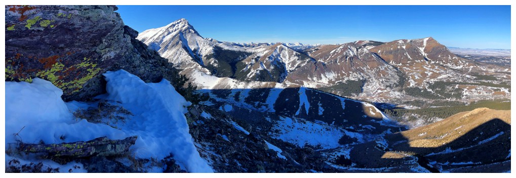
Frozen Butcher Lake, Victoria Peak and four out of the five "Prairies": Storm, Sky, Fire, and Bluff
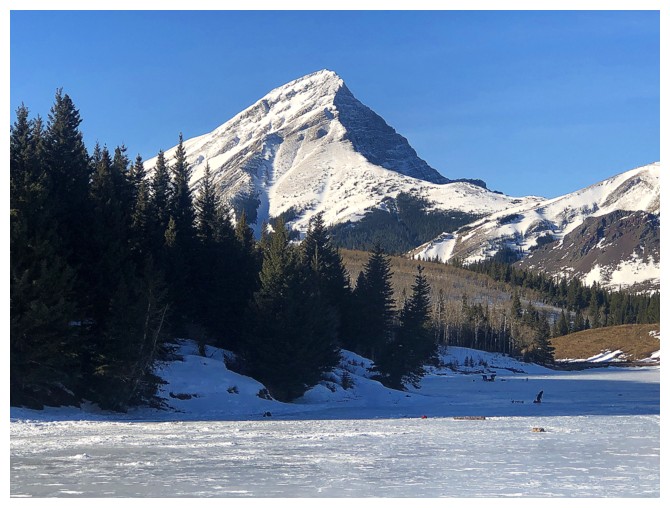
Victoria Peak - always photogenic
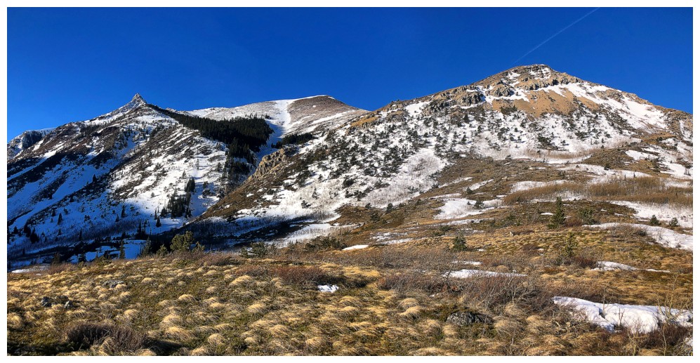
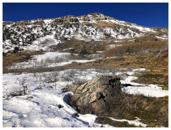
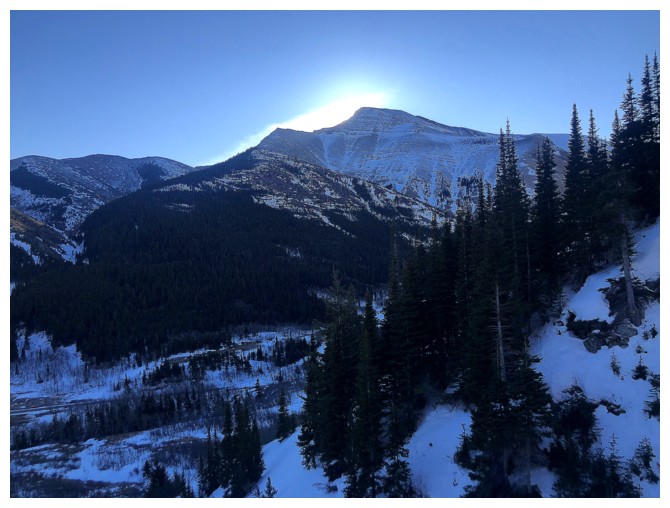
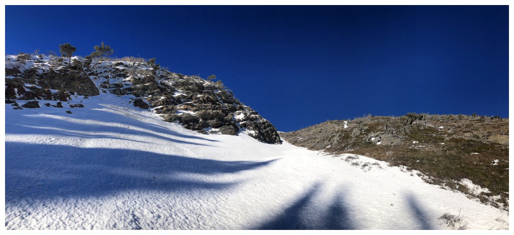
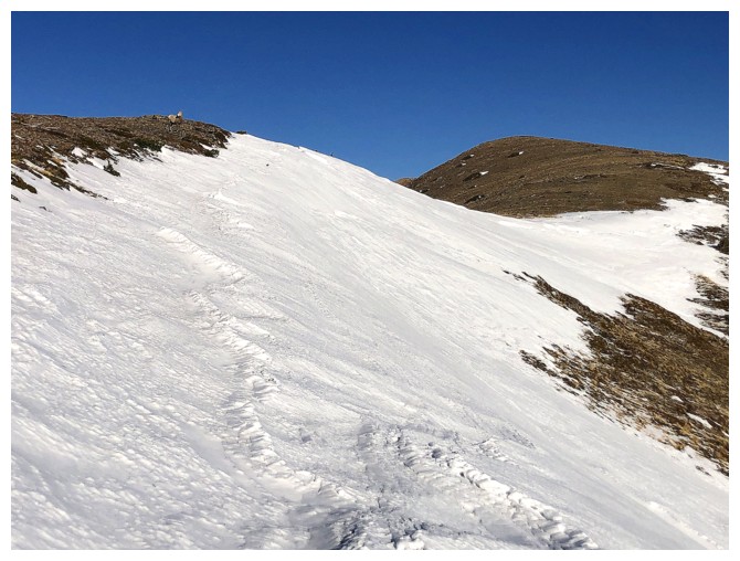
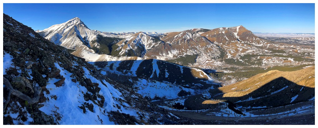
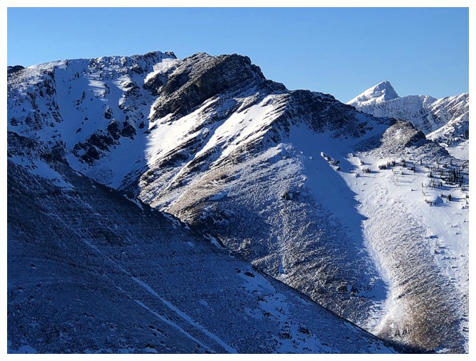
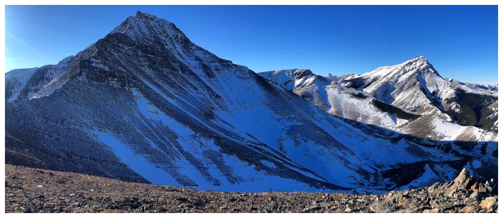
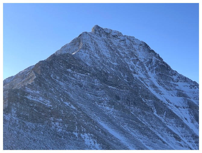
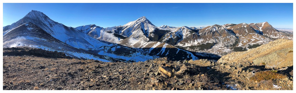
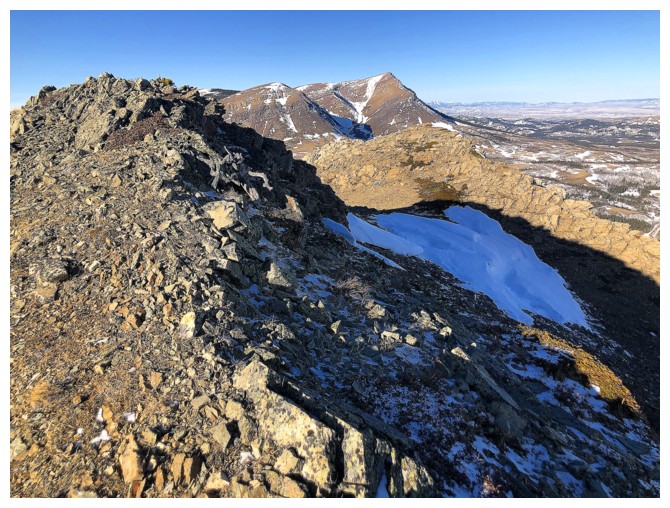
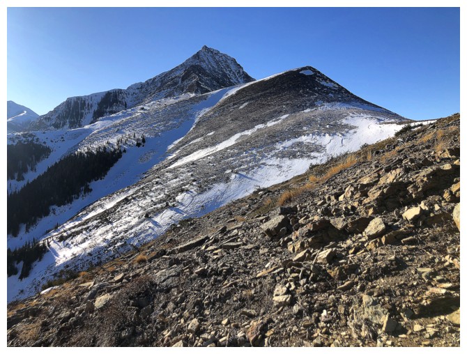
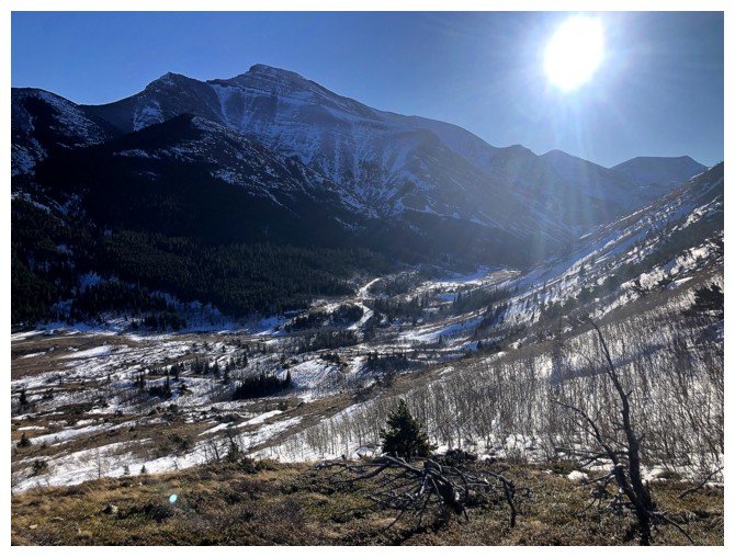
Near the start, the route and the objectives are revealed: up the gap
near the left to Bridle Peak (centre), then to Cinch Hill (left), and descent at the far right
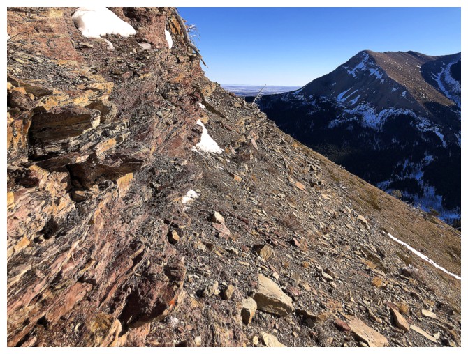
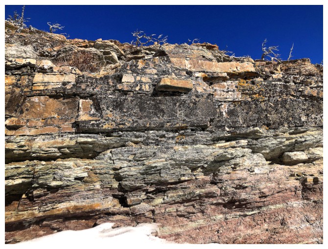
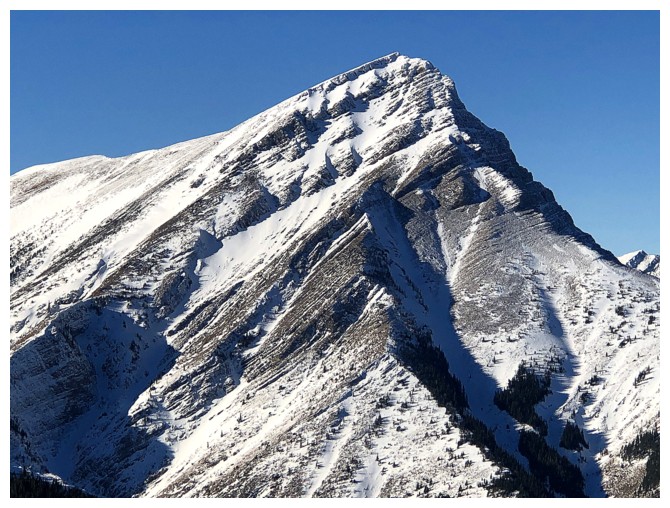
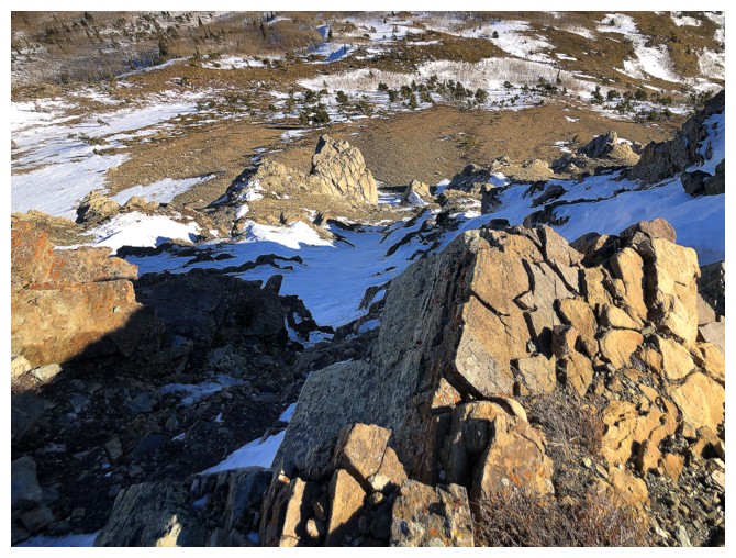
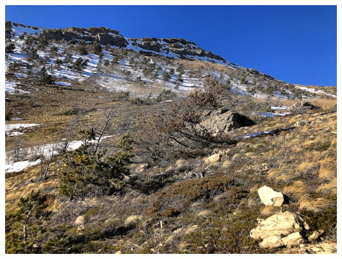
The south side of Cinch Hill is very colourful and fun to explore
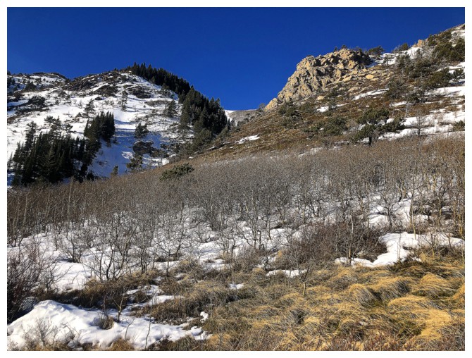
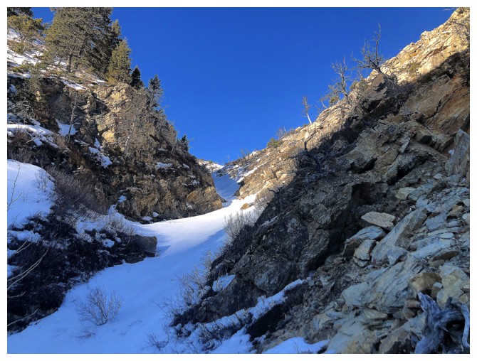
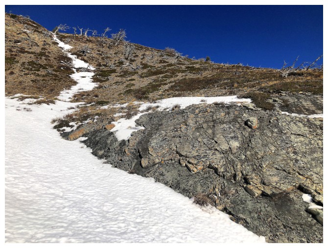
Approaching the ascent drainage
The drainage at the left, but I stayed to the right of it initially
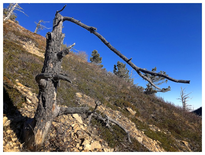
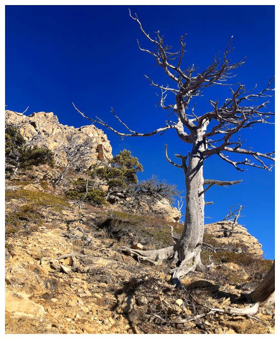
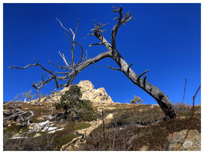
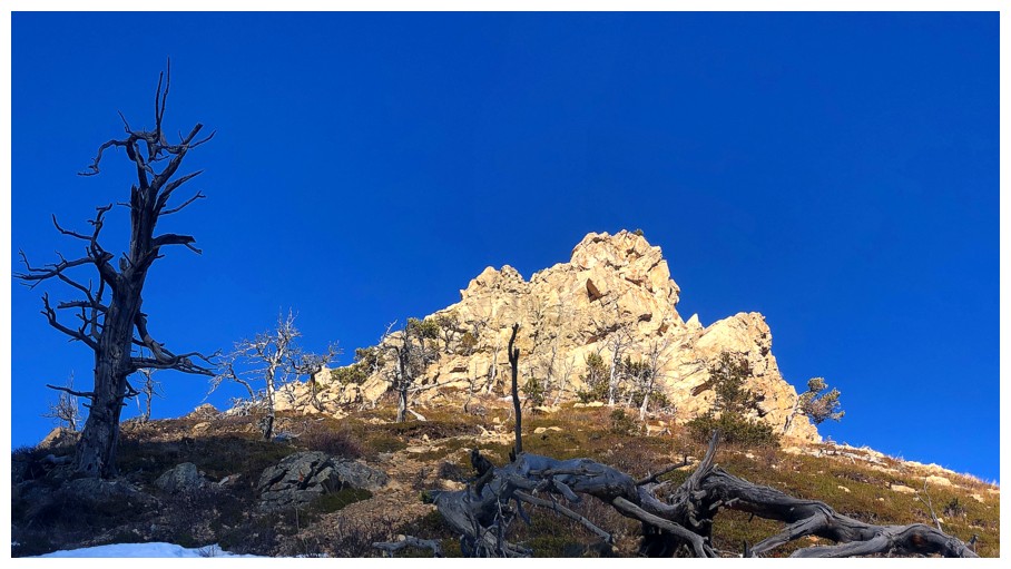
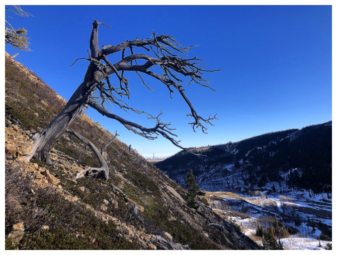
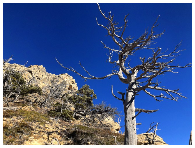
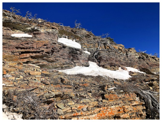
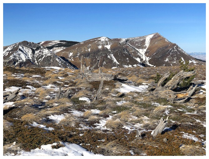
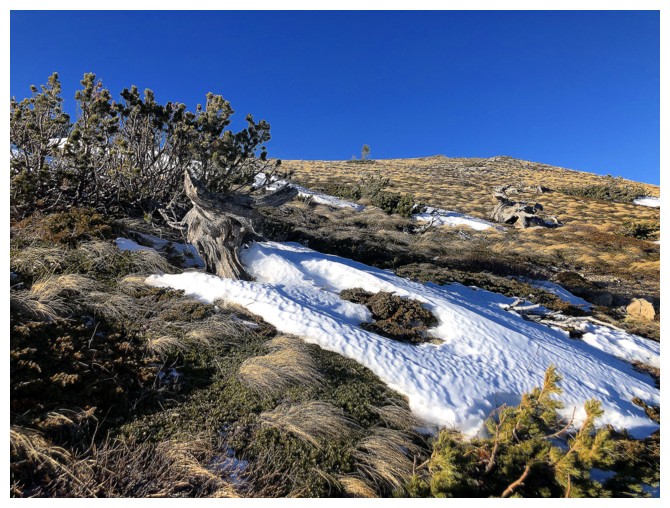
Classic Castle dead tree scenery
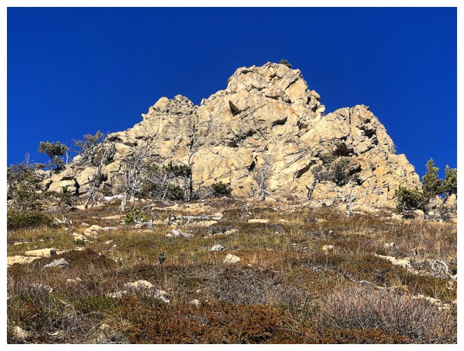
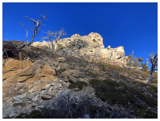
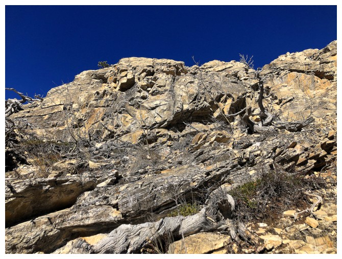
Classic Castle rock scenery
Both
And again
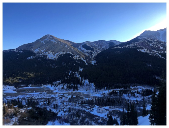
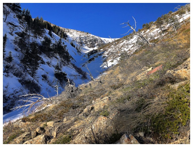
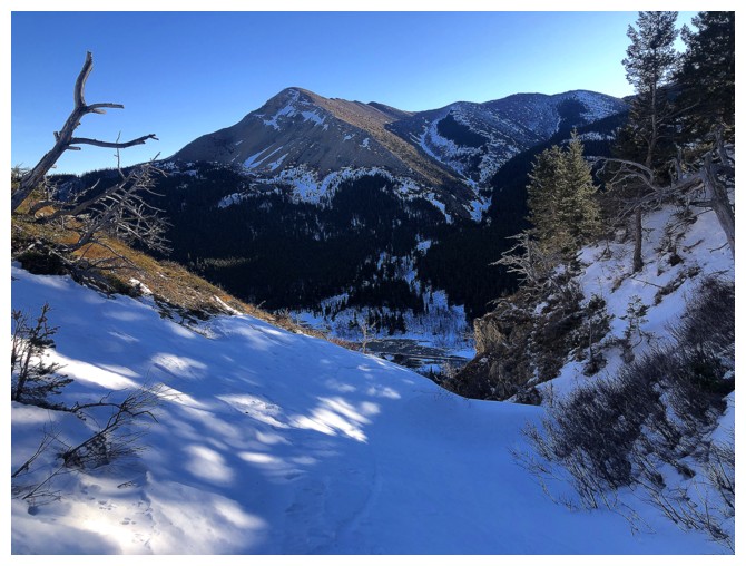
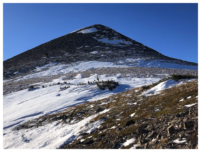
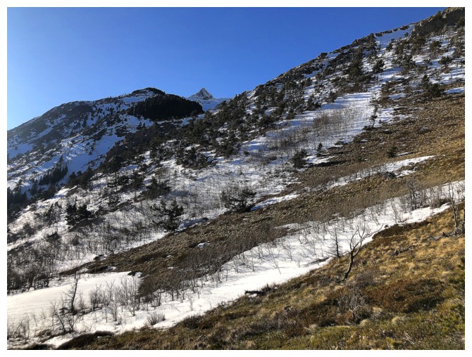
The north side of Drywood Mountain to the south
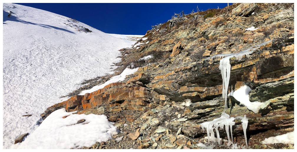
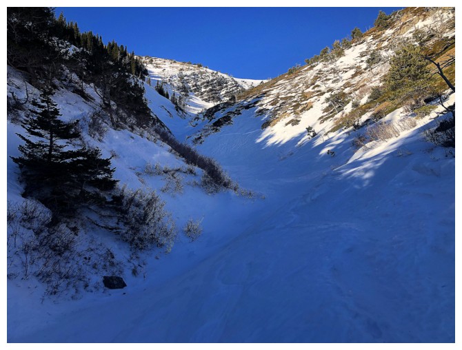
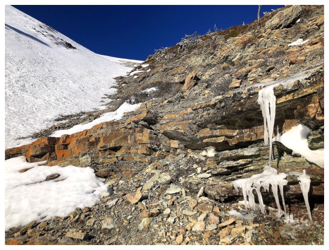
The section of the drainage I was unsure about and therefore avoided
At least I get to see more rock and dead trees
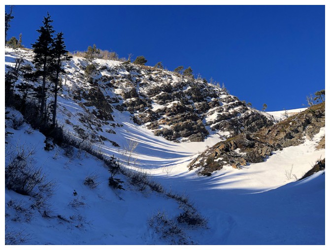
The only scrambling of the day
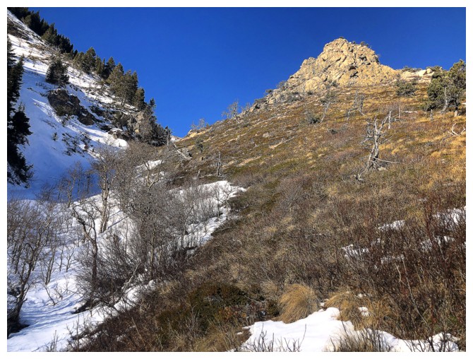
Heading back into the drainage
In it
Looking back to the northeast end of Drywood
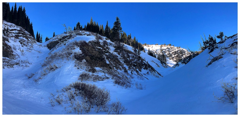
The drainage forks. I took the right.
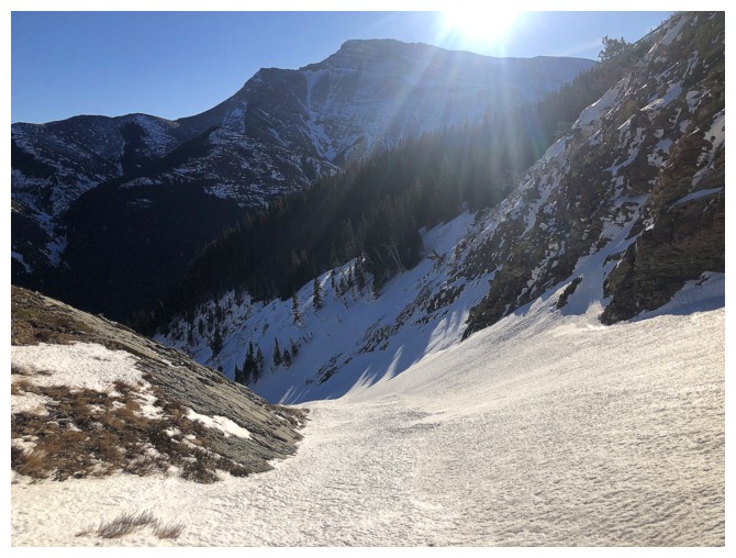
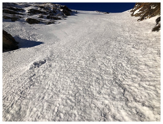
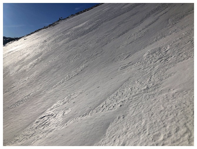
Easy and scenic travel up the middle section of the drainage
Same as above
Looking down the route
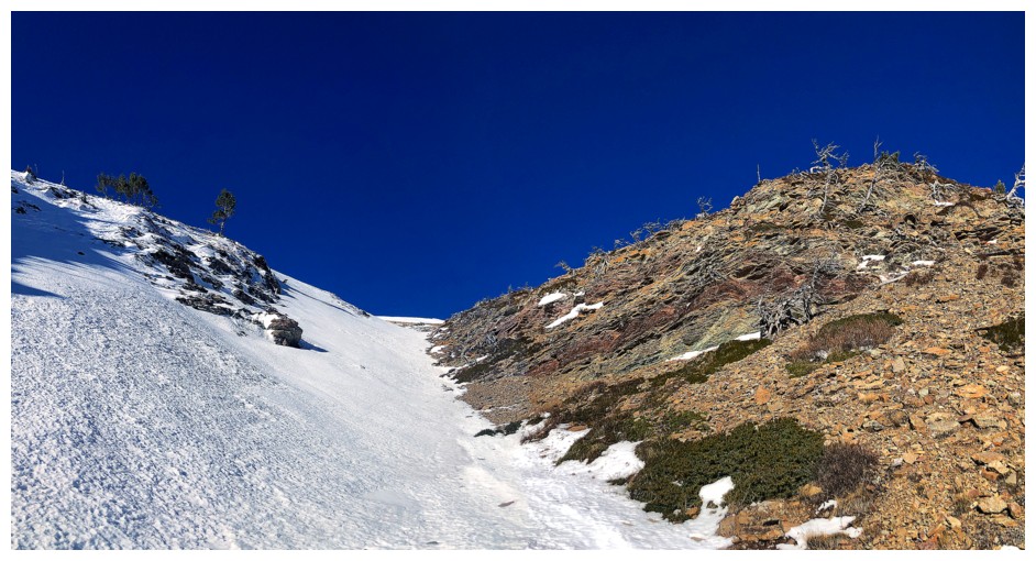
Nice to have the choice of snow or rock for travel
With crampons and an ice axe, I chose the snow
But the rock was still awesome to look at!
I considered crossing this slope to get to the south ridge of Bridle
but the snow was rock hard. A more conservative choice seemed prudent.
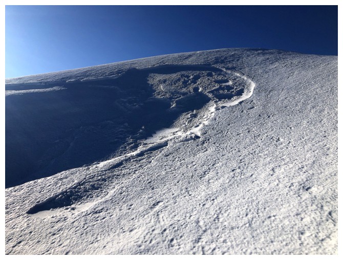
Small taste of the type of winter scenery I love so much
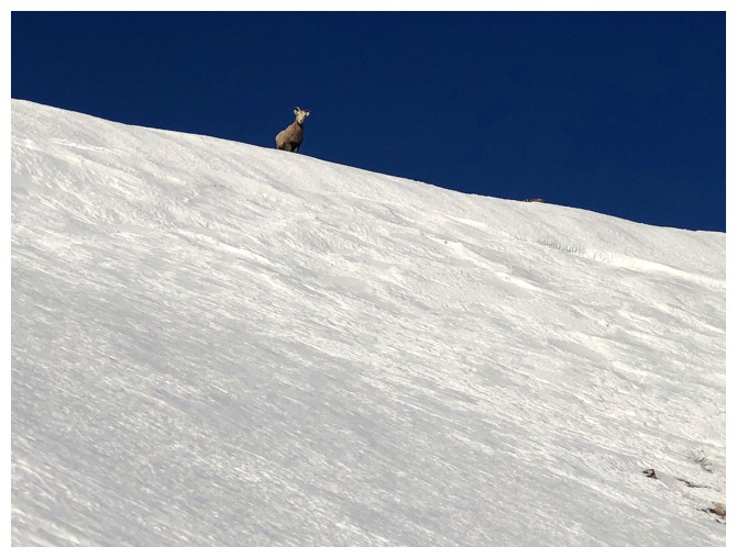
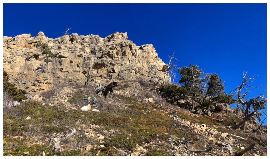
Someone is monitoring my progress
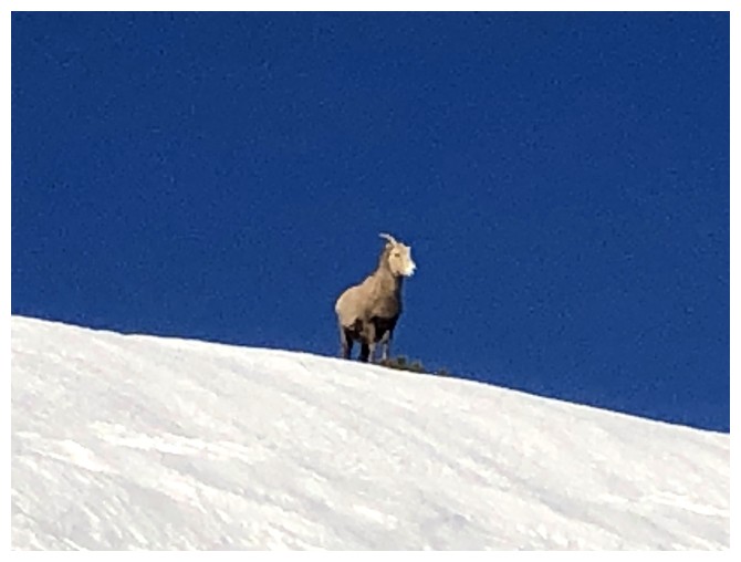
He too is contemplative about the lack of a playoff run for the LA Rams this season :(
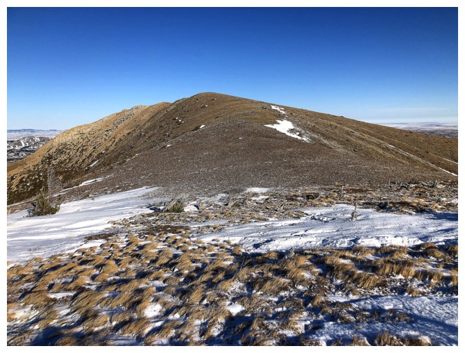
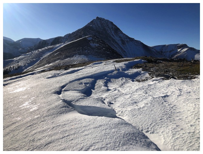
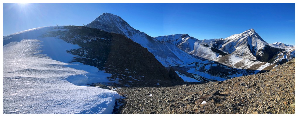
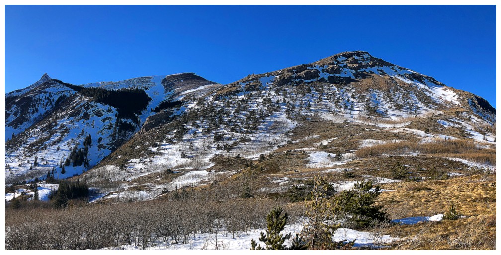
Approaching the ridge. Cinch Hill at the right.
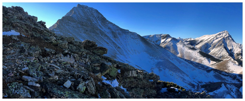
Bridle Peak from near the col
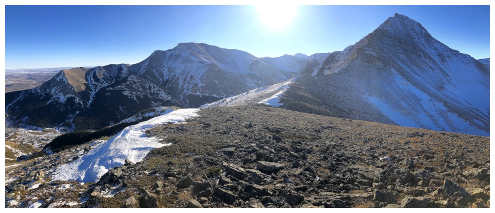
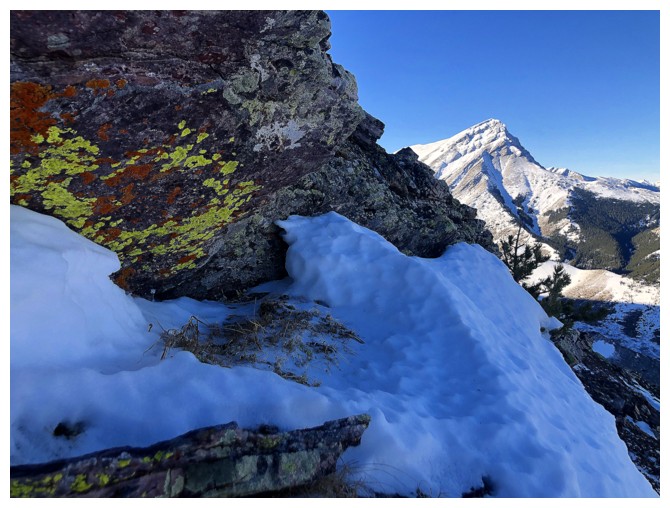
Victoria Peak is the first thing you see upon reaching the ridge
Prairie Bluff is the second
And then you get a great view of it all
My mandatory yellow lichen photo
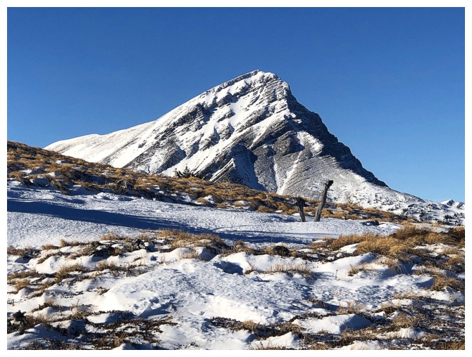
The true summit of Pincher Ridge (left), the North Outlier (centre), and Victoria Peak
The North Outlier of Pincher Ridge is an interesting trip in itself and has several routes up
Close-up of Victoria
The distant Flathead Range to the north
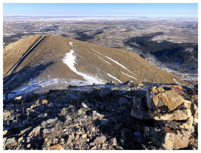
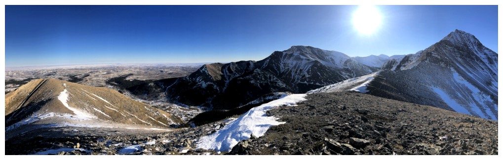
Summit cairn and the view to the east
View to the west
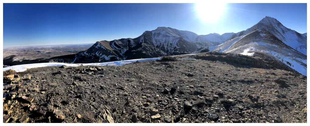
West, northwest, north, northeast, and east
East, southeast, south, southwest, and west
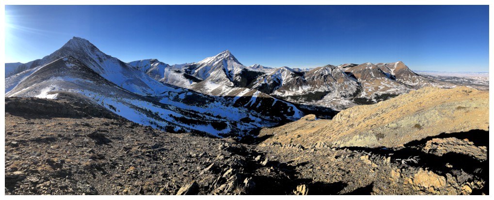
Closer look at Drywood and Pincher Ridge
Really close look at Pincher!
Back down to the col. Not much distance horizontally or vertically to Cinch Hill.
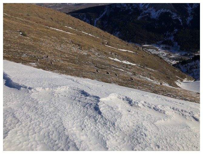
Spot the herd of sheep taking their leave from my company
A little snow scenery, but pretty barren for early January
Same as above
Summit view from Cinch
Same as above
Descending via the northeast side of the peak
Same as above
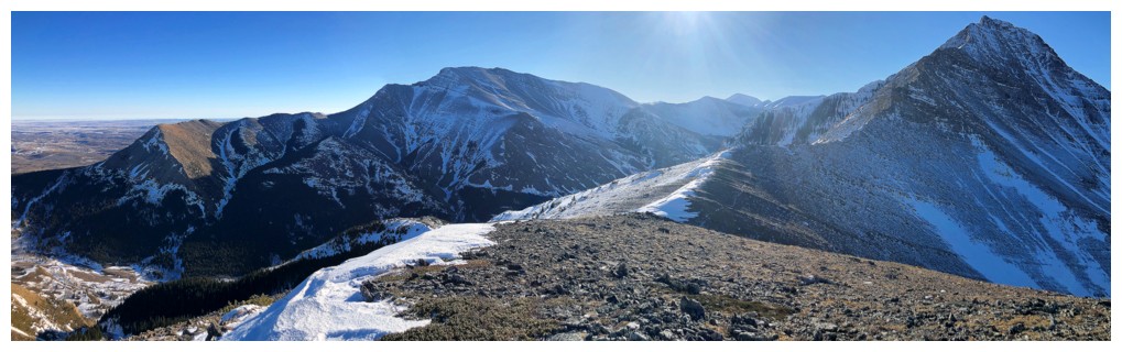
Still not tired of that view to the west and northwest
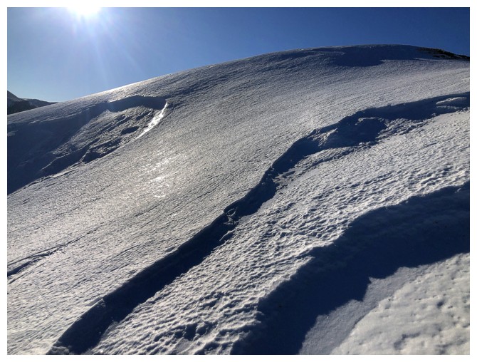
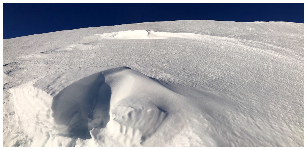
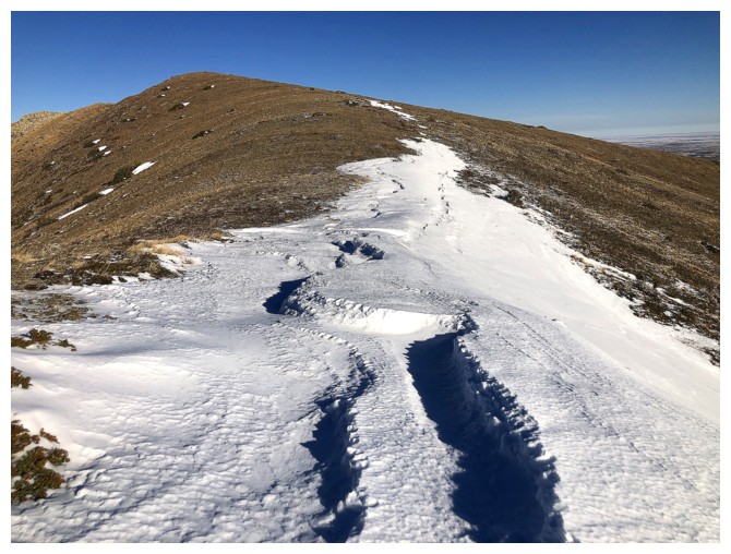
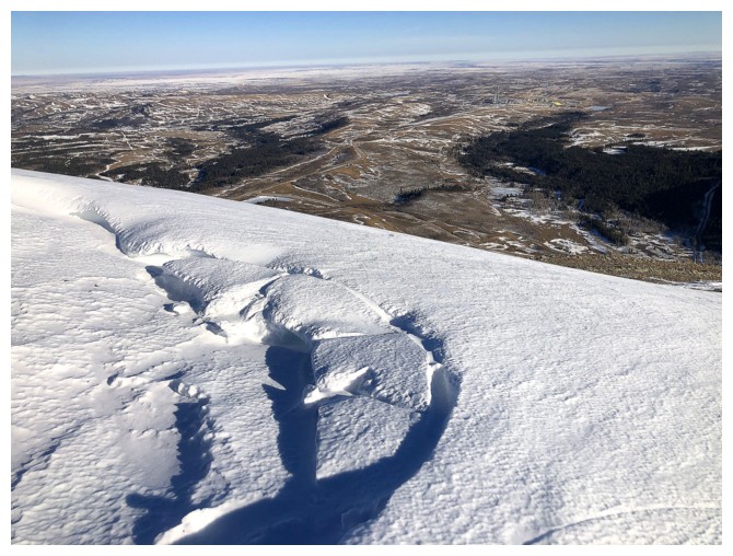
And I will never tire of wind-sculpted snow scenery
Same as above
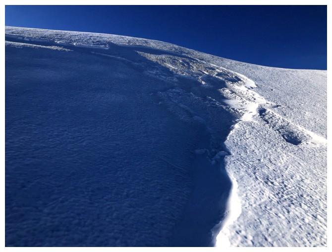
Same as above
Pincher and Bridle
Looking down the steep part of the north face of Cinch
...but descending the much gentler northeast slopes
Drywood
Looking back up to Cinch and the descent route at the right
Looking over to the start of the ascent route
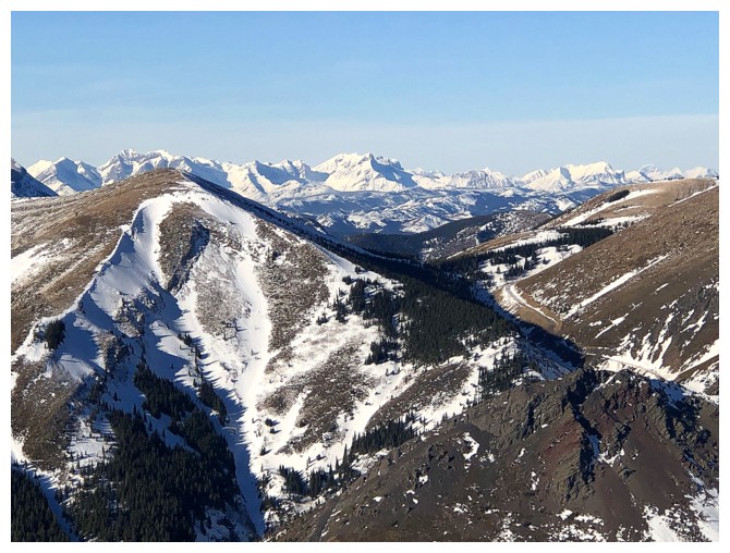
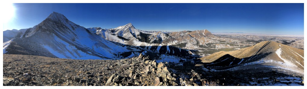
Overview of the route again
The End
LOG