Butter
Tart
The Croissant XII
The Muffin VII
December 30, 2025
Mountain heights: 2200 m, 2037 m, 2000 m
Total elevation gain: 1533 m
Round-trip time: 5:45
Scrambling with
Dave.
A typical
December day in Southern Alberta – in other words, the crux was finding an
area/ascent where getting picked up by the wind and flown, free of charge, into
Saskatchewan was not a foreseeable occurrence! We chose to drive the roads
along the eastern front of The Castle and pick an objective along the way.
 Enter the other and unexpected crux of the day: driving said road. The gravel
road was a sheet of ice, probably due to the heavy snow followed by saw-see
temperatures above and below zero during December. Thankfully Dave and his
trusty Tacoma were up to the challenge. He had to crawl down a particularly
steep hill, but we eventually made it to the Loaf Mountain trailhead and
decided to take another bite out of The Croissant and/or The Muffin.
Enter the other and unexpected crux of the day: driving said road. The gravel
road was a sheet of ice, probably due to the heavy snow followed by saw-see
temperatures above and below zero during December. Thankfully Dave and his
trusty Tacoma were up to the challenge. He had to crawl down a particularly
steep hill, but we eventually made it to the Loaf Mountain trailhead and
decided to take another bite out of The Croissant and/or The Muffin.
After
hiking
the equally icy gas road for a few kilometres, we eventually settled on
an
experimental route up a slope/ridge between Bakery Peak and The Croissant.
Although
the line we took lacked the initial punch of colourful rock common to
other
ascent routes on the mountain, it was a great way to gain elevation
quickly. And above treeline, those colours came out in full force.
Unfortunately, so did
the wind.
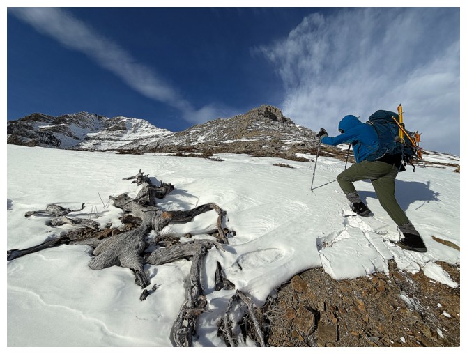
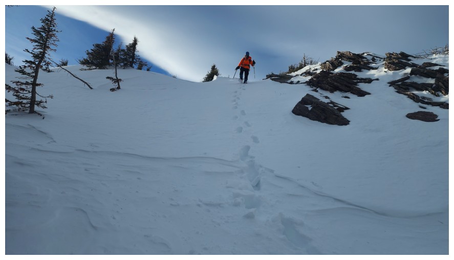
A
short break behind a rock band was soon needed to get some reprieve
from the wind. We then resumed the ascent, now on familiar terrain
from a previous trip (where once again the insane wind was a huge factor in
route choices). We could have simply retraced that route, another break from
the wind was almost guaranteed. However, approaching a line of impressive rock
bands leading up to the Bakery Peak ridge, we decided it would be fun to try
going straight up instead.
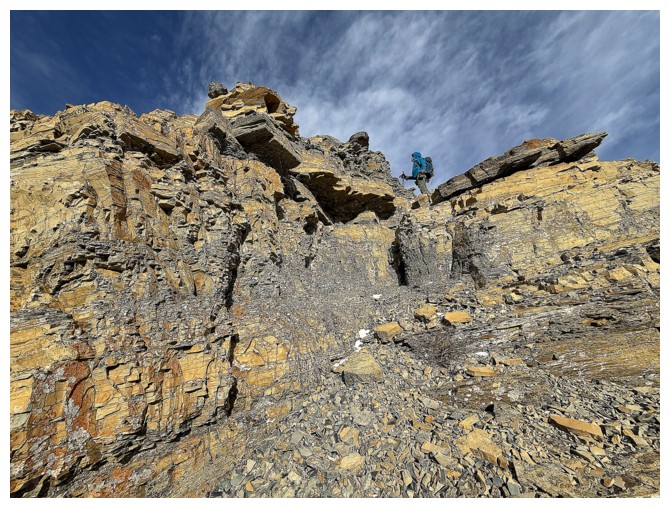
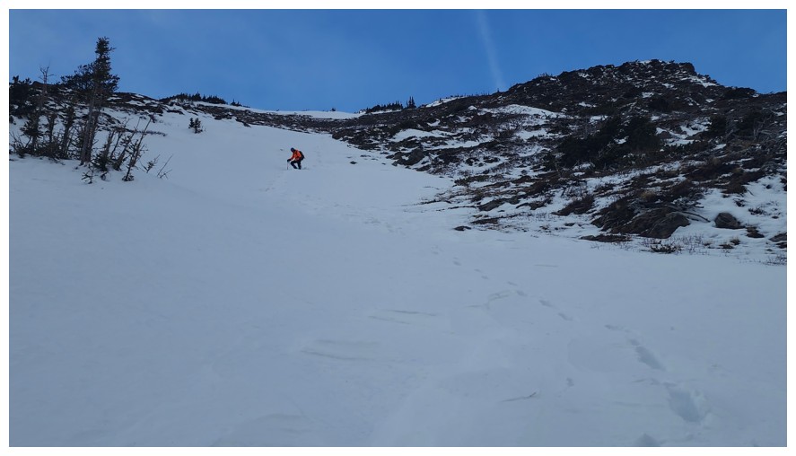
And fun it was,
featuring lots of route-finding, decision-making, and enjoyable hands-on
scrambling. We were stymied a few times by steeper terrain, but found ways around
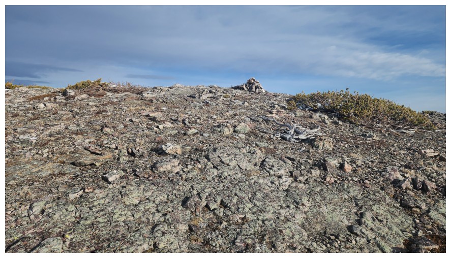
them to the left. Eventually we did make it up to a plateau on the ridge. Dave
joked we should call it Butter Tart, not only in keeping with the “bakery items”
theme of Loaf Mountain and its innumerable outliers, but also because the rock
colours throughout were exactly those of your average, delightfully sugary,
infinitely delicious butter tart! 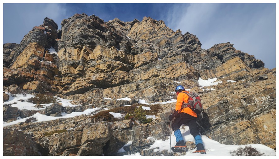 Although Dave dialed back the idea of naming
it, correctly stating it was merely a plateau along the ridge, I coaxed him
into sticking with the humourous moniker.
Although Dave dialed back the idea of naming
it, correctly stating it was merely a plateau along the ridge, I coaxed him
into sticking with the humourous moniker.
Bakery
Peak was an option at this point, however, we wisely chose to call Butter Tart our
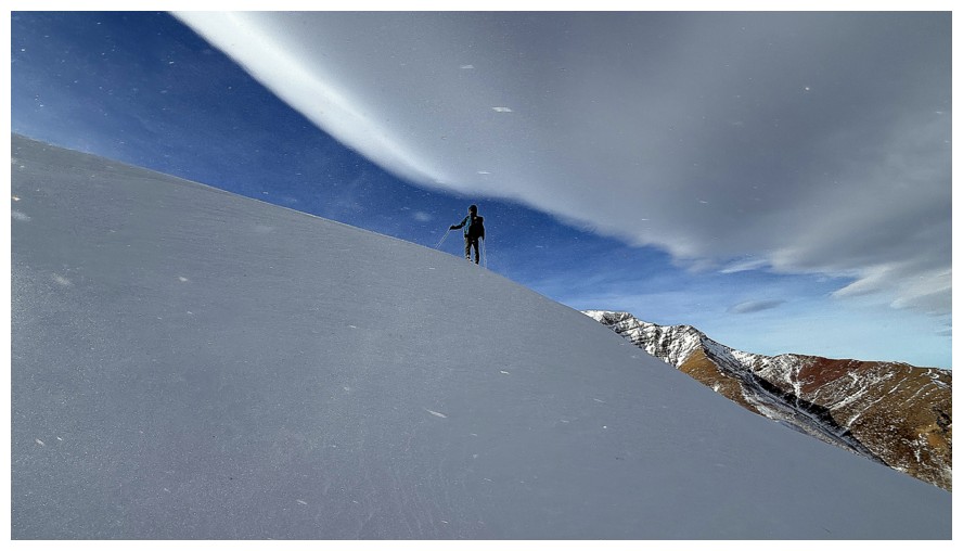
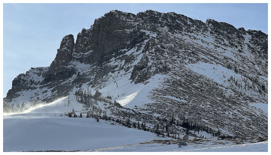
highpoint of the day and start down towards The Croissant. Good thing too. The
wind graduated from insane to downright deranged! Gusts well in excess of 100
km/h threatened to knock us off our feet throughout. We stayed well away from
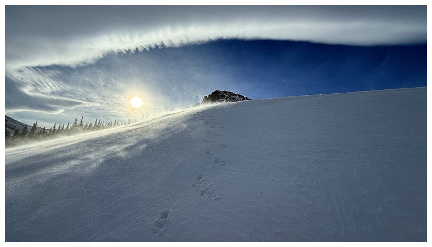
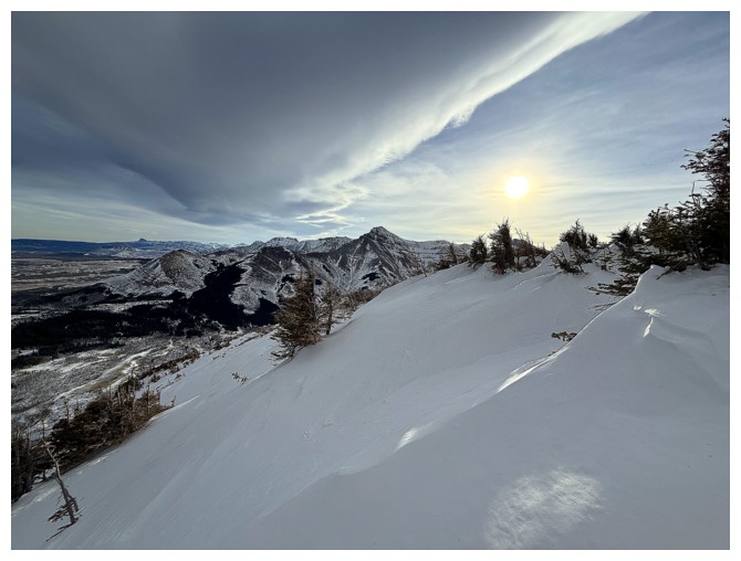
the edge of the ridge. On the bright side, the manic weather did offer some
super cool scenes of blowing snow and an even cooler Chinook arch.
We eventually
stumbled our way up to the summit of The Croissant, took a few photos and
continued on. The logical descent route to get out of the wind would be over
the east side of The Muffin and that’s where we would go. Not even stopping at
The Muffin’s highpoint, we then found a great route down several snowy gullies,
Dave leading the way. Nearing the bottom, we were able to follow a route Mark
and I had used to get back to the trailhead without an epic bash through huge
stands of alders.
Overall, an
outstanding day, with some things new and some things old (excluding the participants
for the latter!).
Click HERE to see Dave's excellent report.
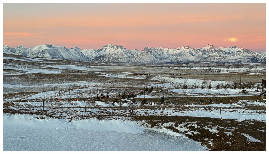
Pleasant Sunrise over Waterton
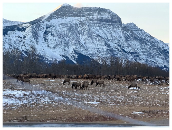
A small fraction of the famous Waterton elk herd, with Vimy Peak in the background
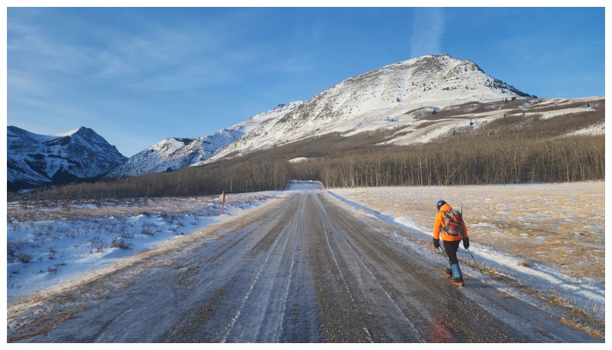
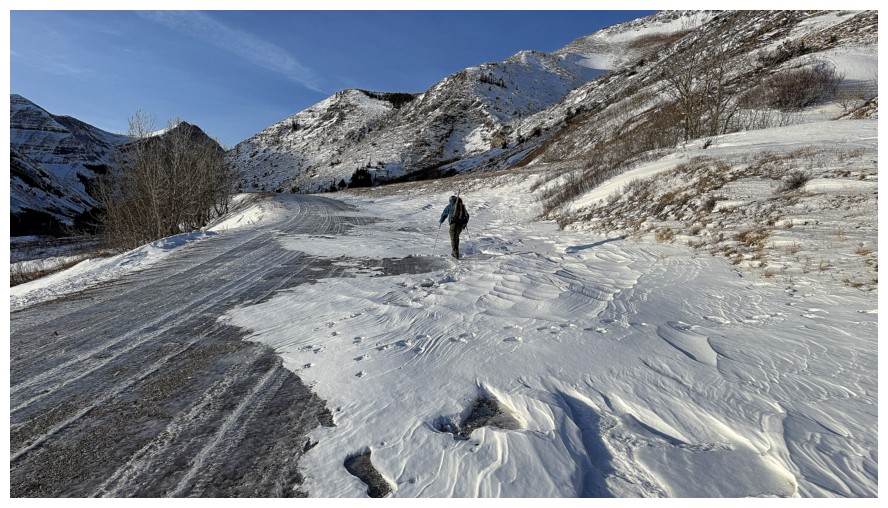
Hiking the icy road. I put micropikes on at the beginning and they stayed on my feet throughout (photo by Dave).
Dave used the snow to increase his traction

The small but cool ice features we visited 6 years earlier
Dave checks out the more significant frozen waterfall further along the road
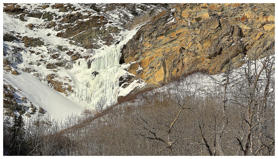
Close-up
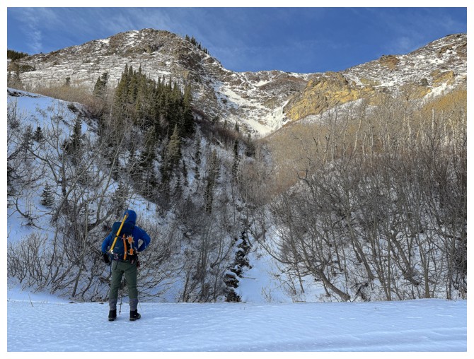
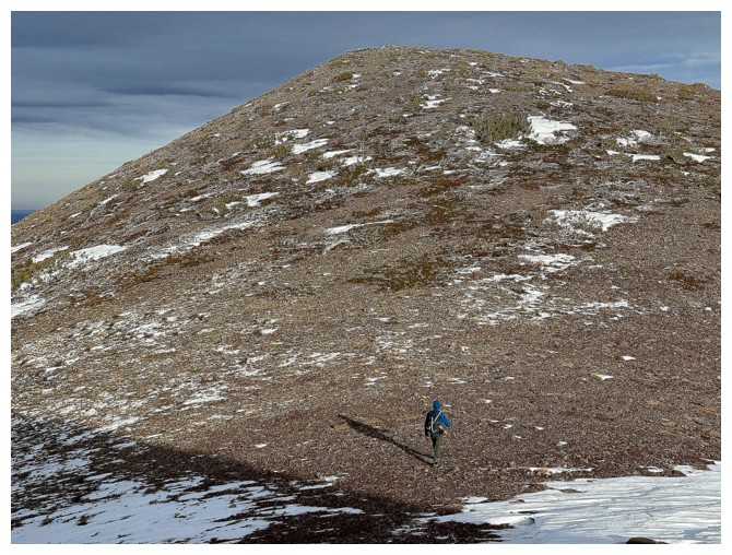
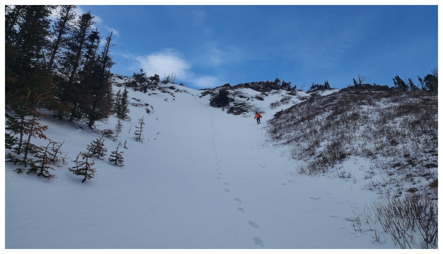
Up we go. We will ascend the left side of the drainage that goes up the middle. I did the right side in 2022 (photo by Dave).
Dave leads the way up this minor and colourful rock band
The other ridge behind Dave
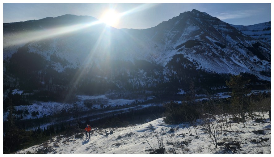
Spread Eagle Mountain immediately south is one of my favourites scrambles in Southern Alberta (photo by Dave)
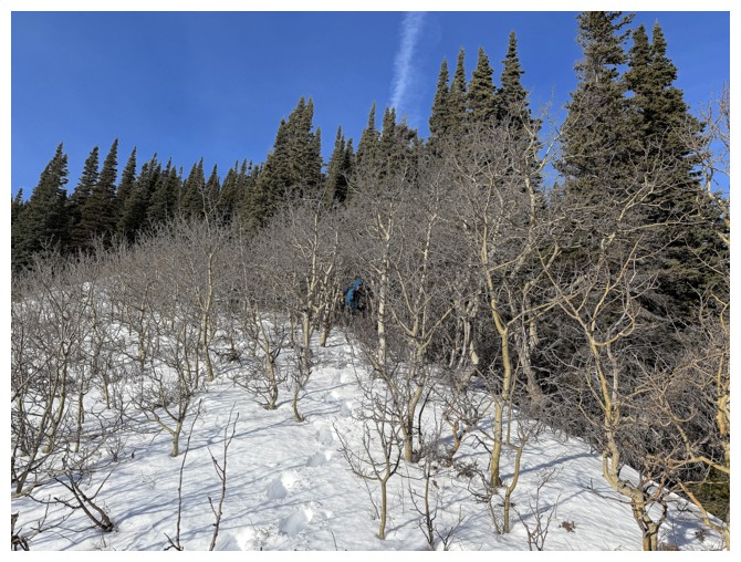
Dave dives into the forest to avoid the alders
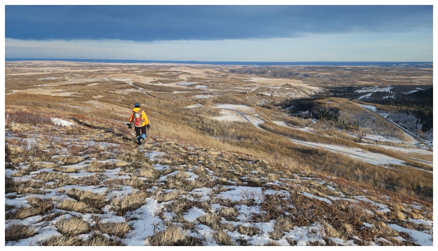
Back out in the open
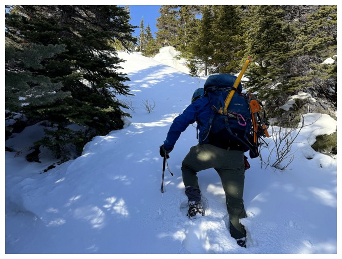
A section of deep snow. I broke trail for about 5 minutes and then Dave broke it for the remaining 295 minutes of the day!
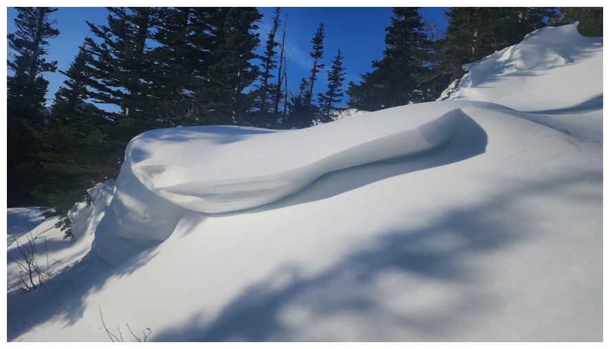
Beautiful wind-affected snow (photo by Dave)
Hiking by it (photo by Dave)
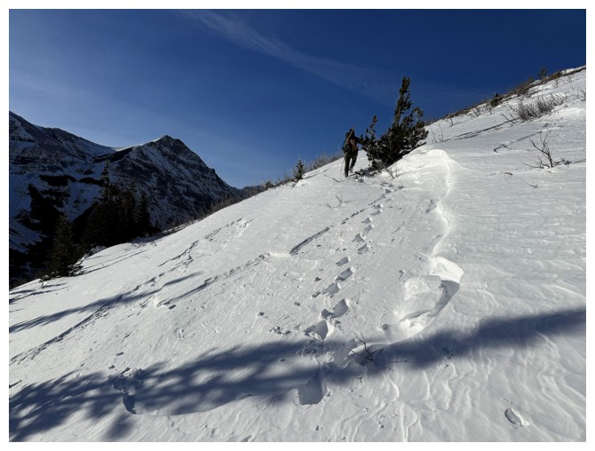
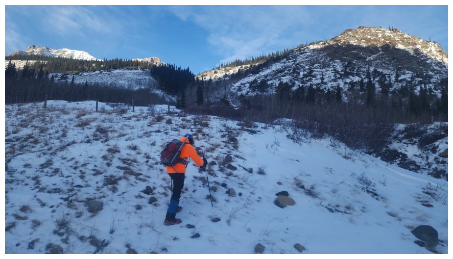
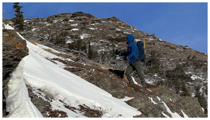
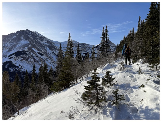
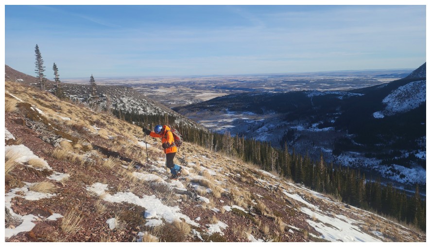
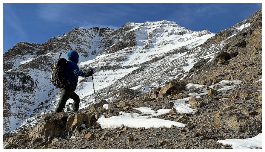
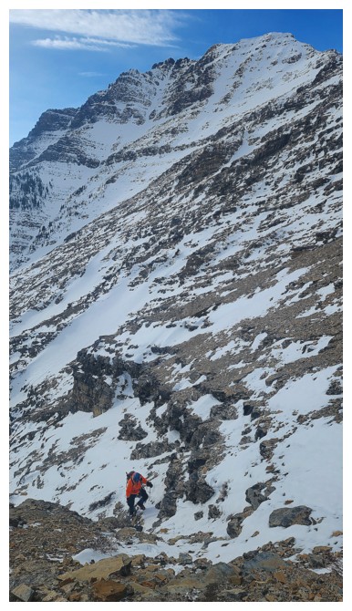
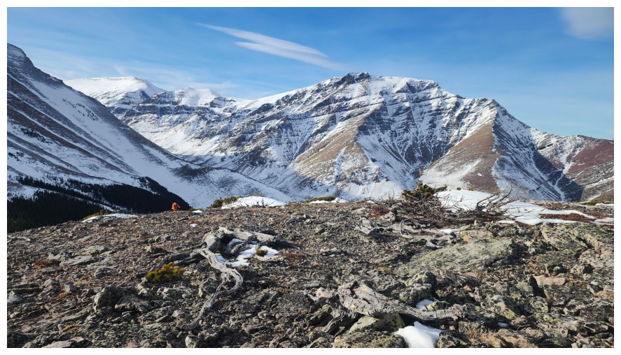
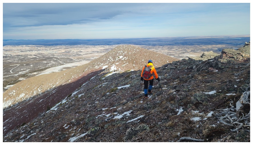
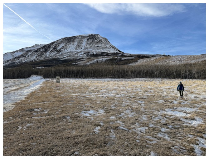
Above treeline and traversing onto open, snow-free slopes
This ones (photo by Dave)
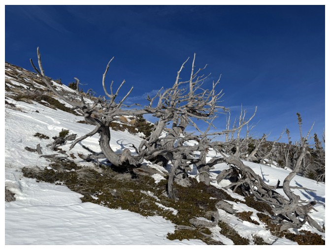
One of many twisted, dead trees on the slopes
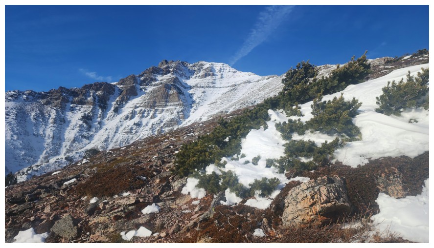
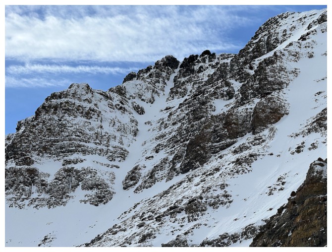
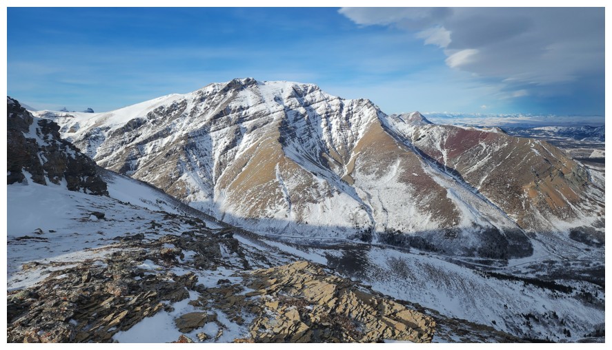
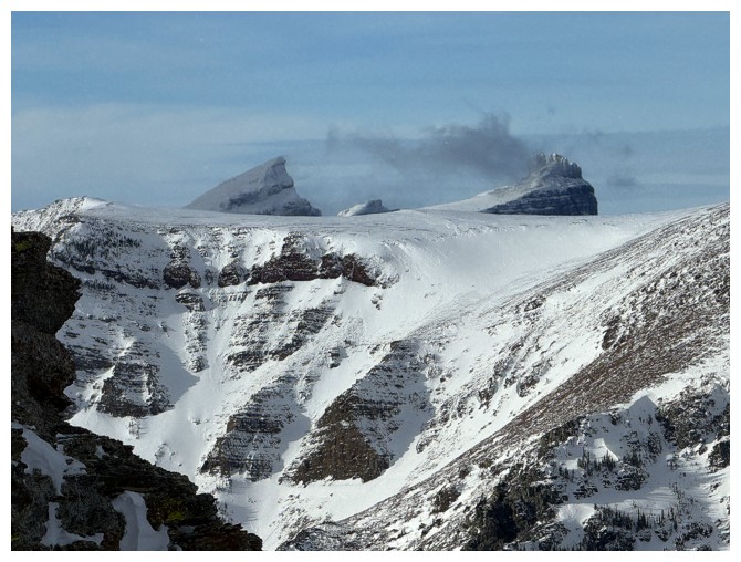
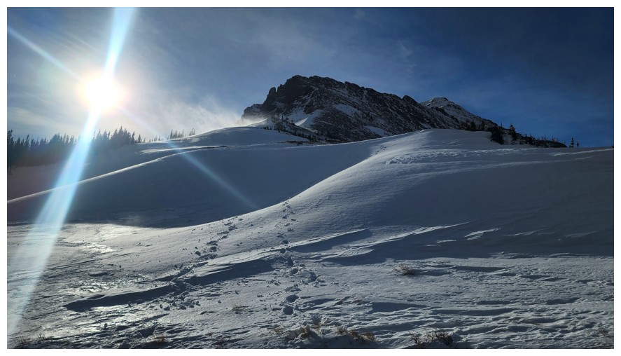
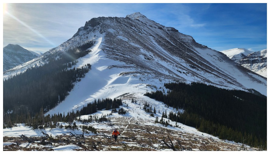
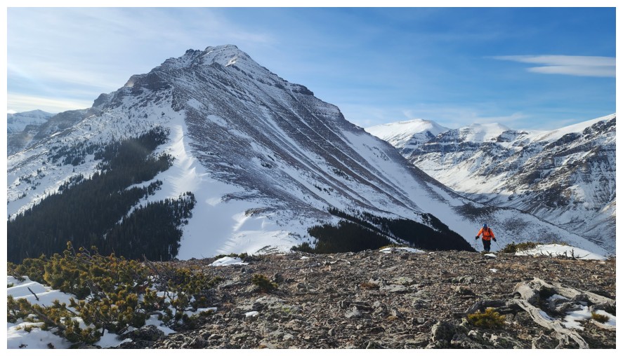
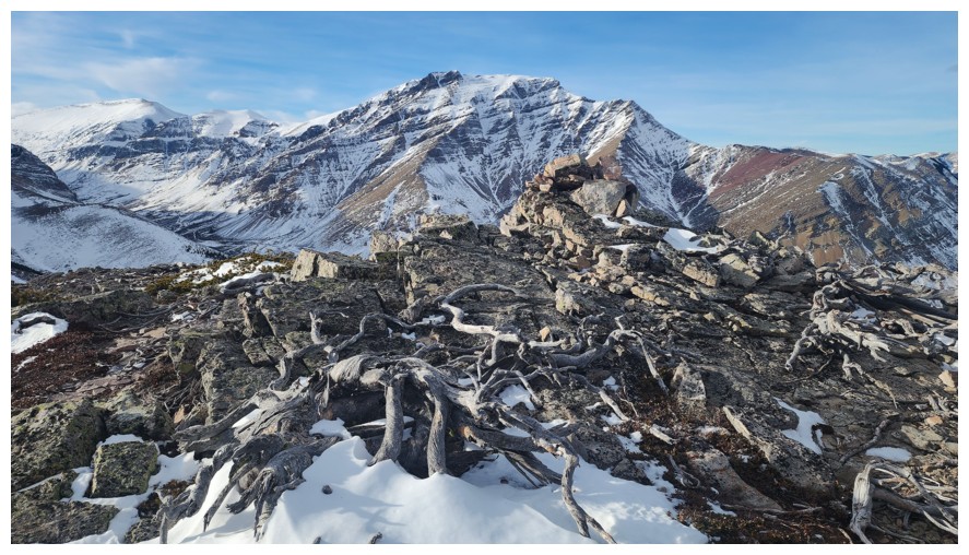
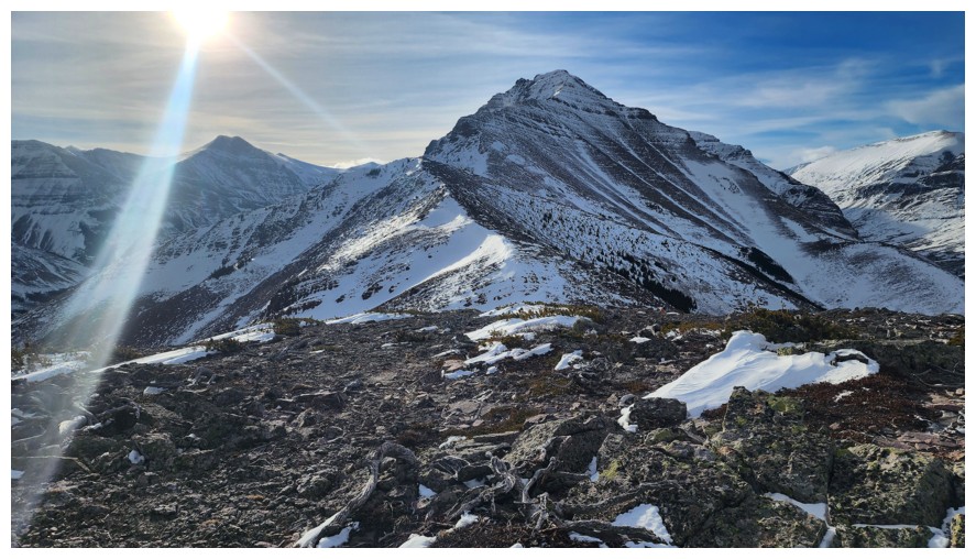
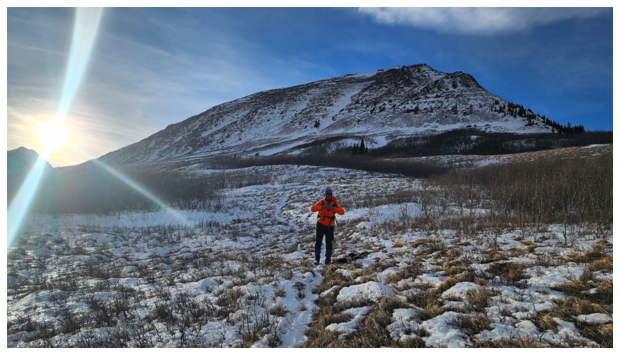
First good look at Bakery Peak and Icing On The Loaf Peak (photo by Dave)
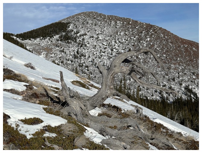
Another tree with The Croissant behind
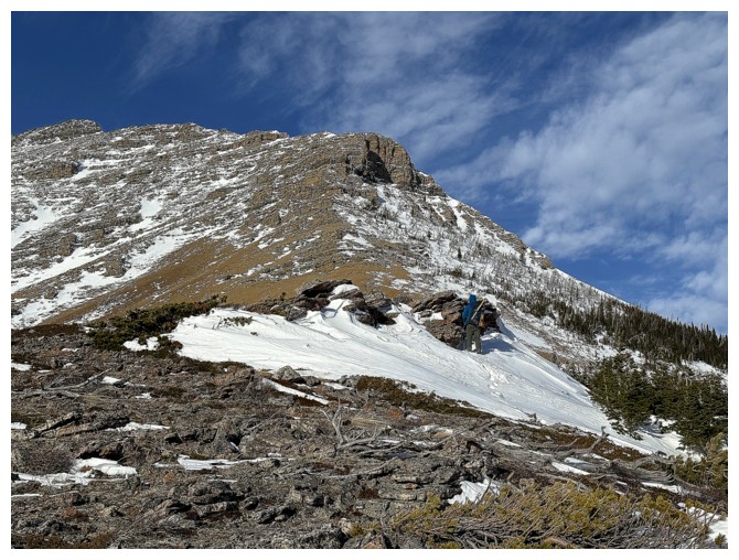
Dave finds shelter from the wind behind a small rock band
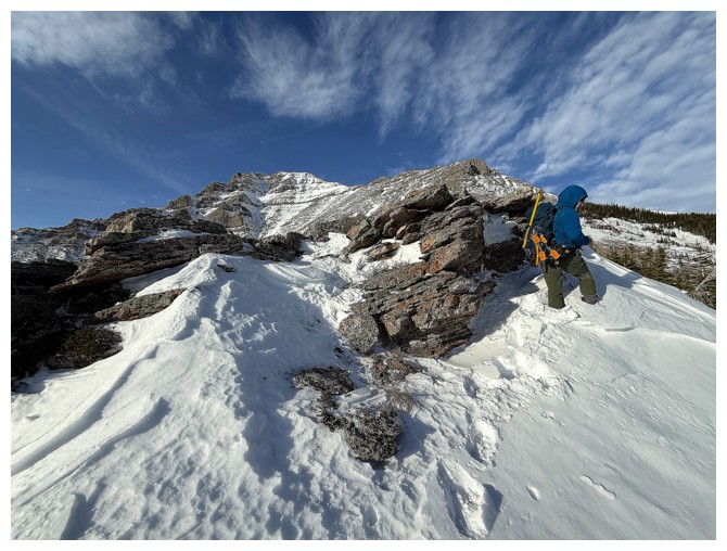
I'm joining him
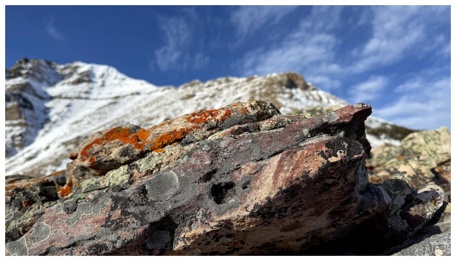
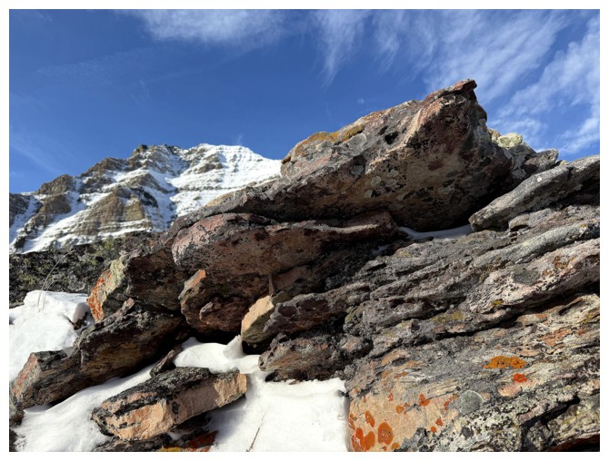
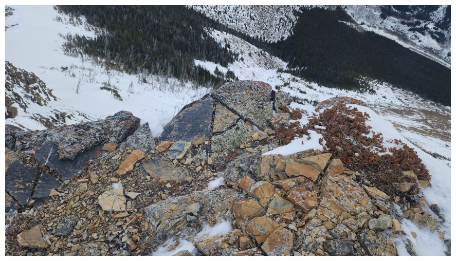
Of course that gives me the opportunity to take some rock close-ups
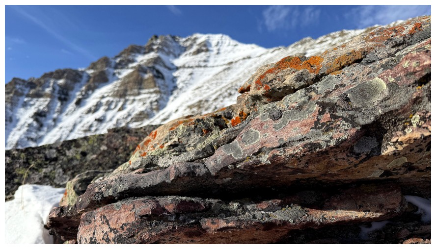
Same as above
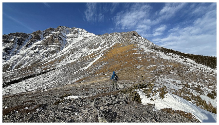
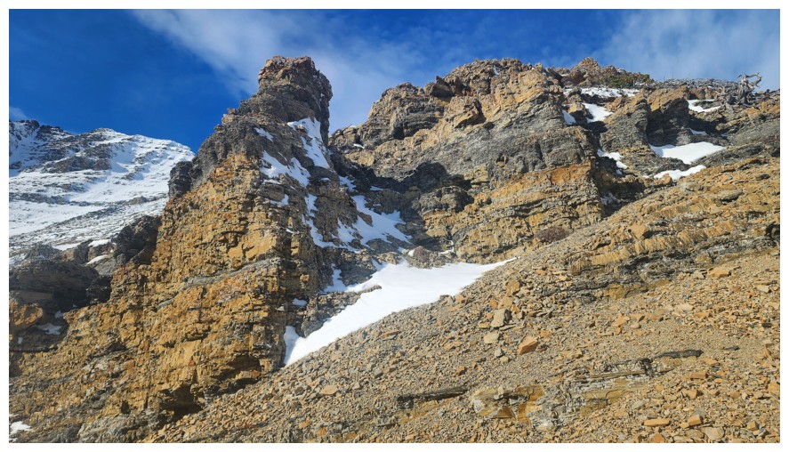
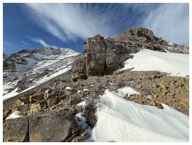
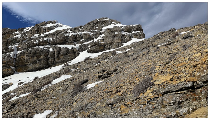
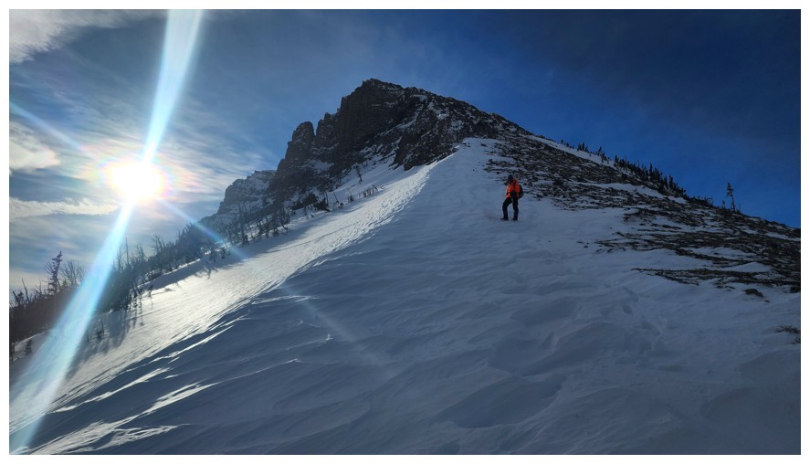
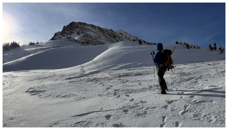
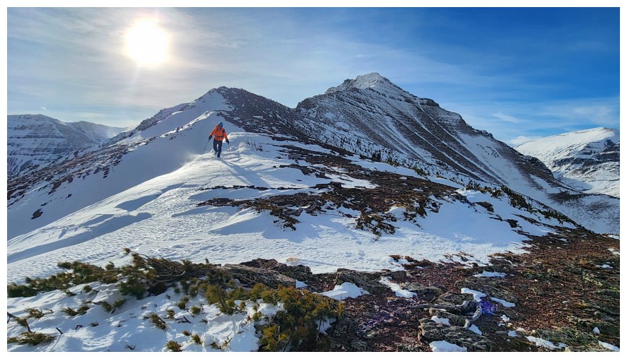
Continuing up towards Butter Tart (just right of centre), although we didn't know it was a tart at the time!
Is that a tart?! (photo by Dave)
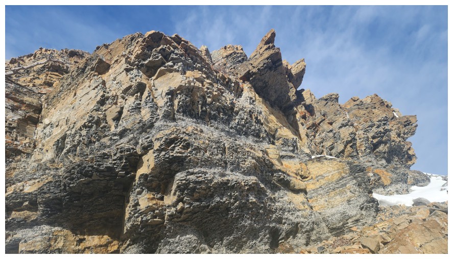
Maybe, but this one is clearly a tart! (photo by Dave)
Dave admires Bakery Peak
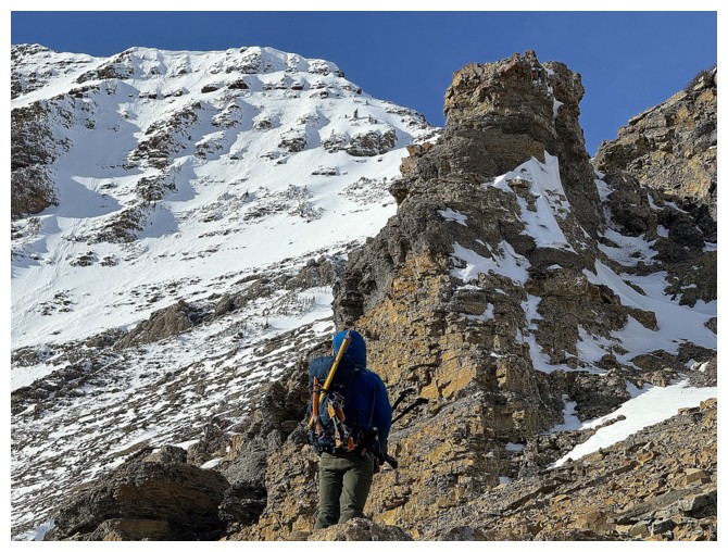
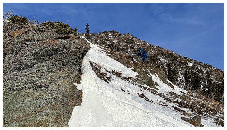
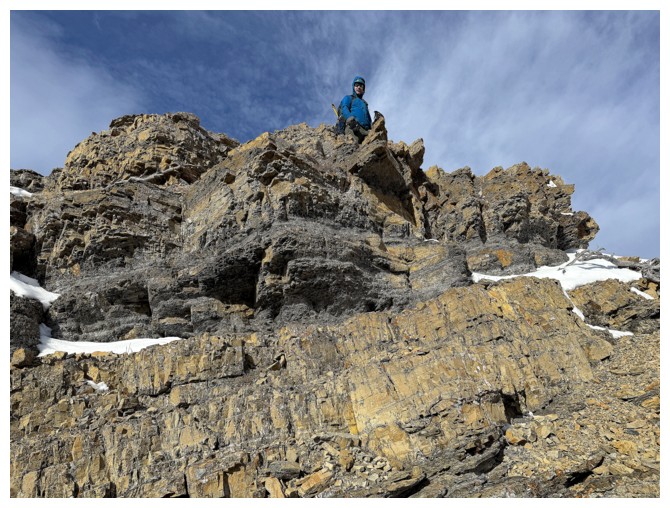
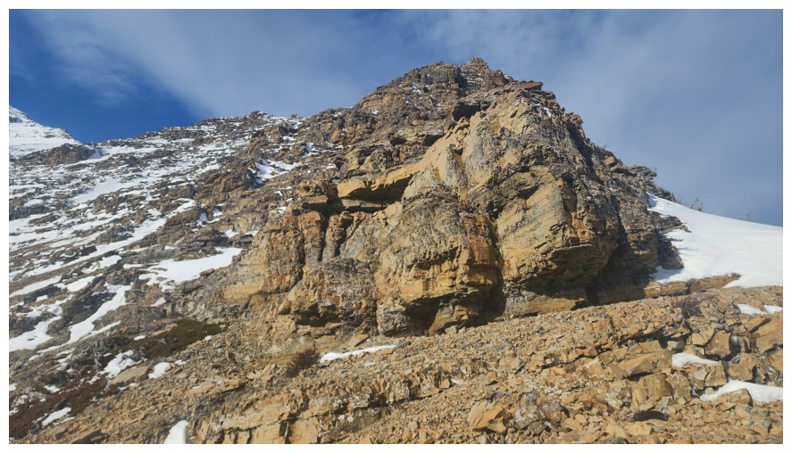
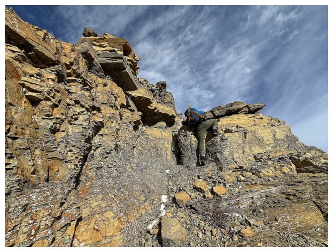
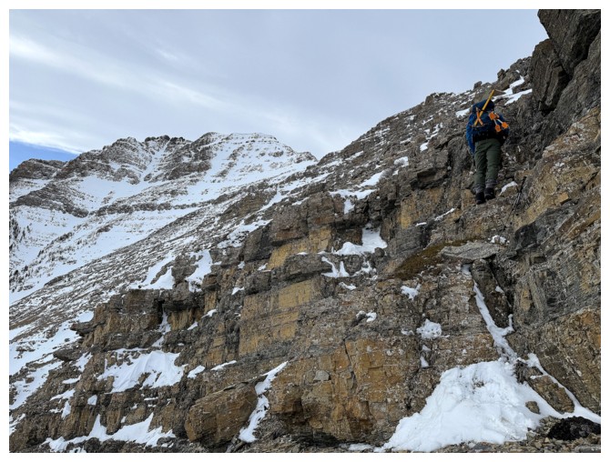
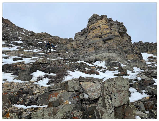
The route up the Tart begins (photo by Dave)
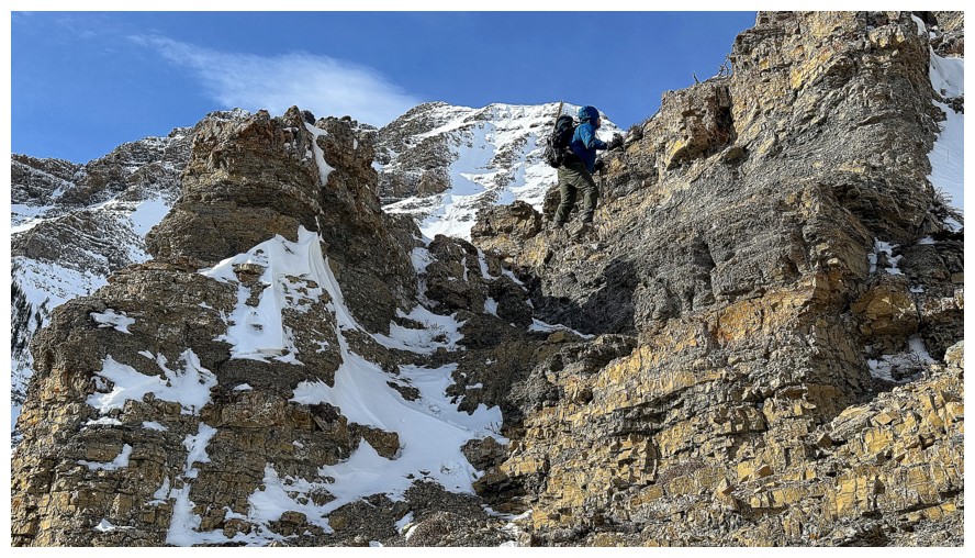
Dave leads the way up the first section
Steep but ledgey and possibly a scramble (photo by Dave)
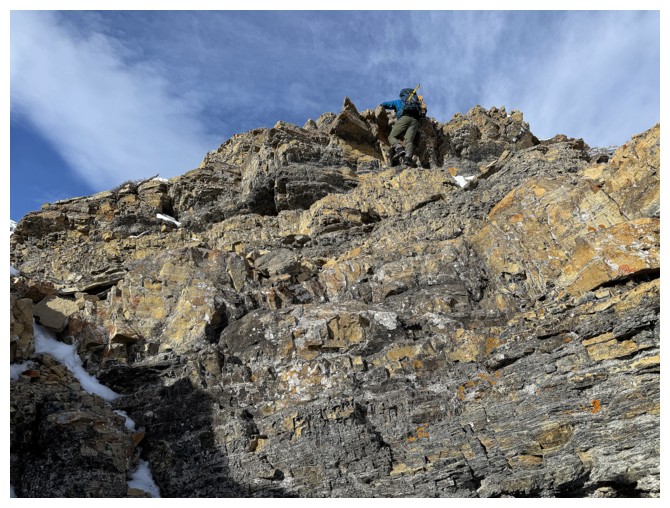
Dave tackles the step head-on
He's up
Dave looks down on me (literally not figuratively... I hope!) (photo by Dave)
I took an easier route to the left (photo by Dave)
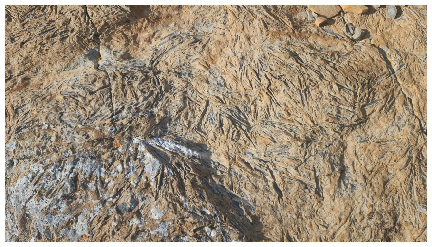
Cool fossil patterns in the rock (photo by Dave)
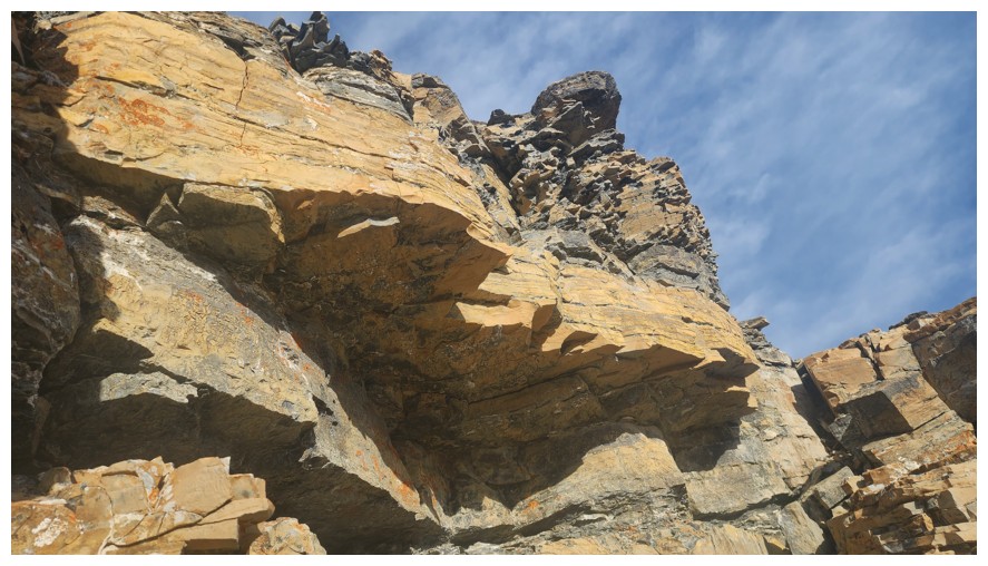
The next rock band is a doozy and must be circumvented on the left side (photo by Dave)
Dave ducks to the left
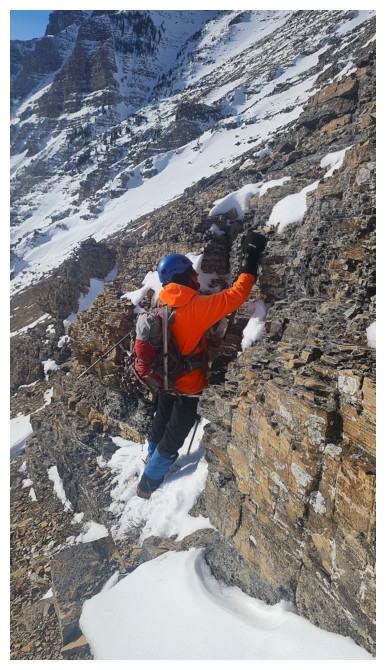
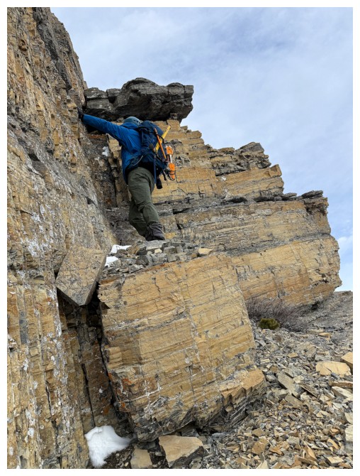
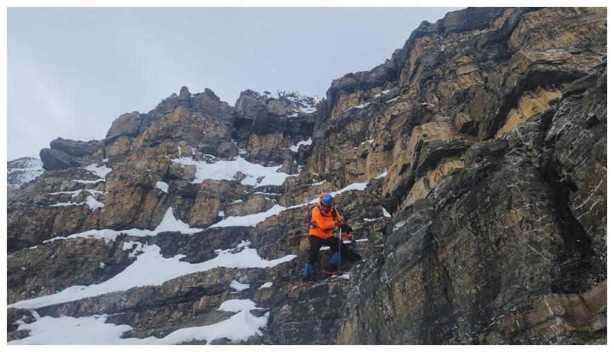
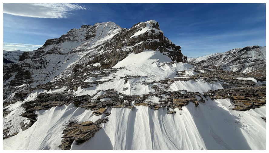
Beautiful butter tart-like rock and Dave is going to ascend it near the right (photo by Dave)
Good flexibility, Dave!
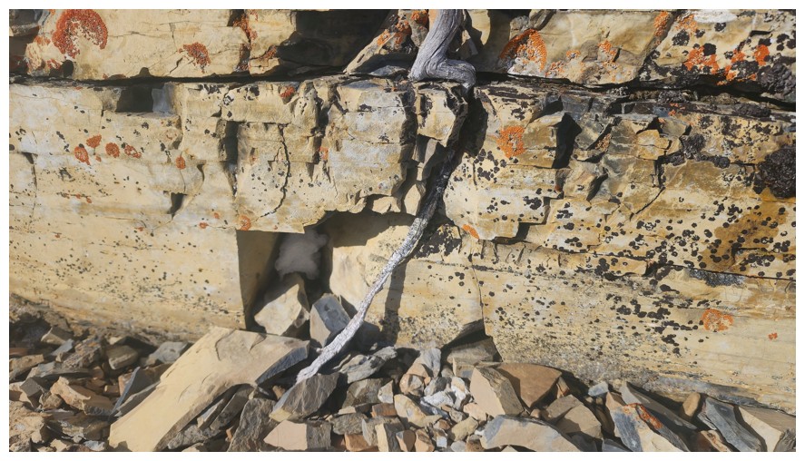
Interesting to see the dead tree branch in that location between the rock (photo by Dave)
Checking out another tricky little step before I search for an easier route (photo by Dave)
Found one (photo by Dave)
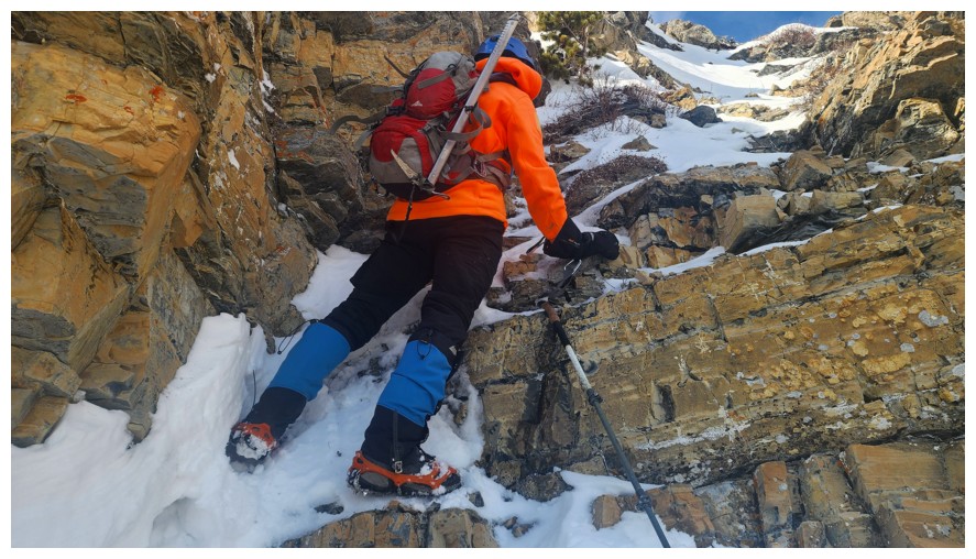
Happy for microspikes here. Dave did an awesome job ascending all the snowy terrain without the aid of spikes (photo by Dave).
More detours to the left
Dave tries another very steep step
I'm day-dreaming about butter tarts (photo by Dave)
This little step was the far more challenging than expected. We both
tried various routes but backed down because of a lack of good holds.
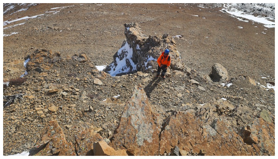
A little careful downclimbing to escape the area (photo by Dave)
Descending the left side, looking for a way around (photo by Dave)
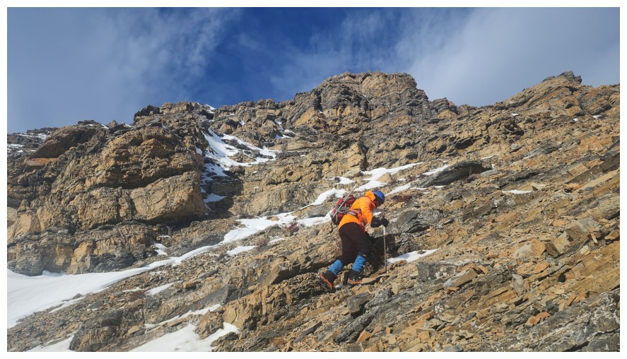
Dave forged a good route up and I'm following (photo by Dave)
Around another rock band
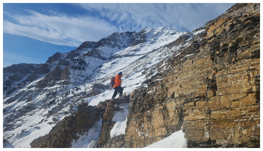
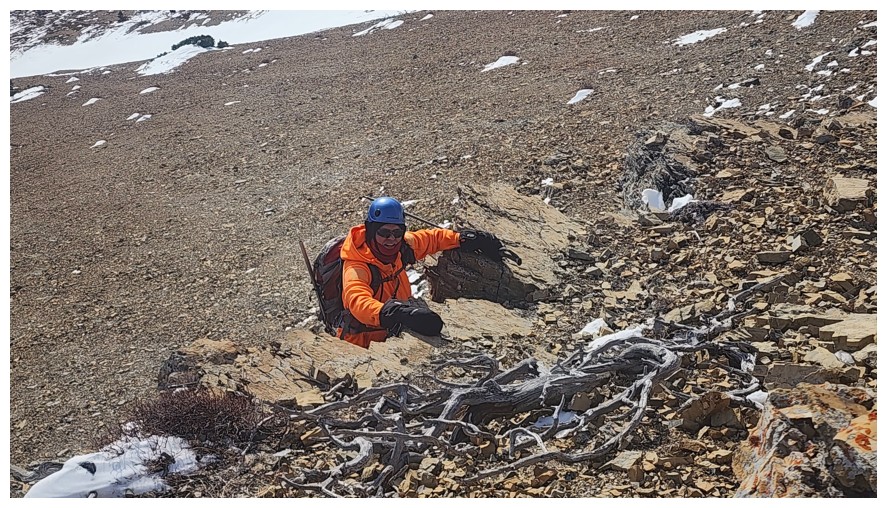
A very scary looking couloir that would be right up Brad's alley. He's a mountaineering stud!
The guy in orange is a stud at avoiding responsibility and commitment, and nothing else! (photo by Dave)
Approaching the Bakery Peak ridge
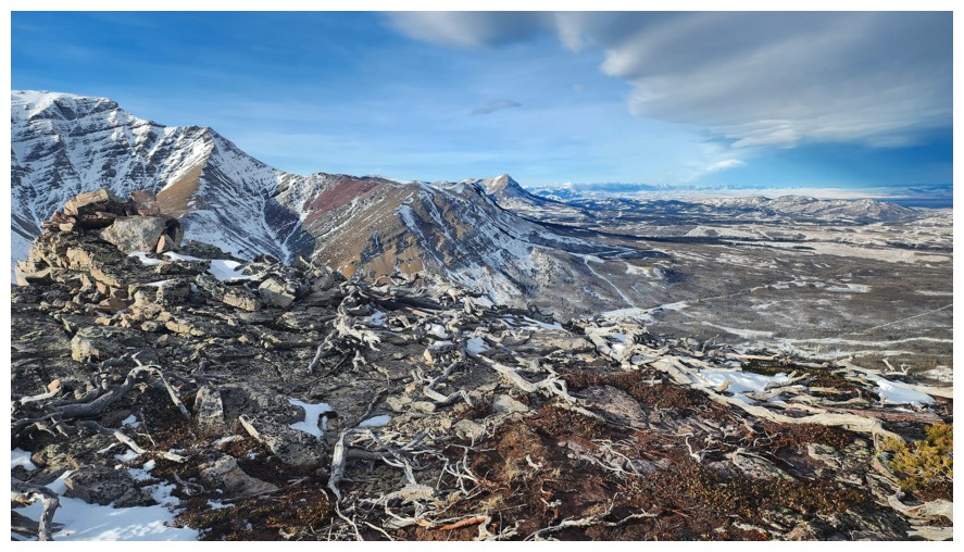
Dave reaches the ridge first, to a terrific view of Drywood Mountain. We had a great day on that peak in March (photo by Dave).
Spread Eagle Mountain again
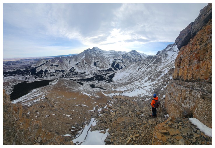
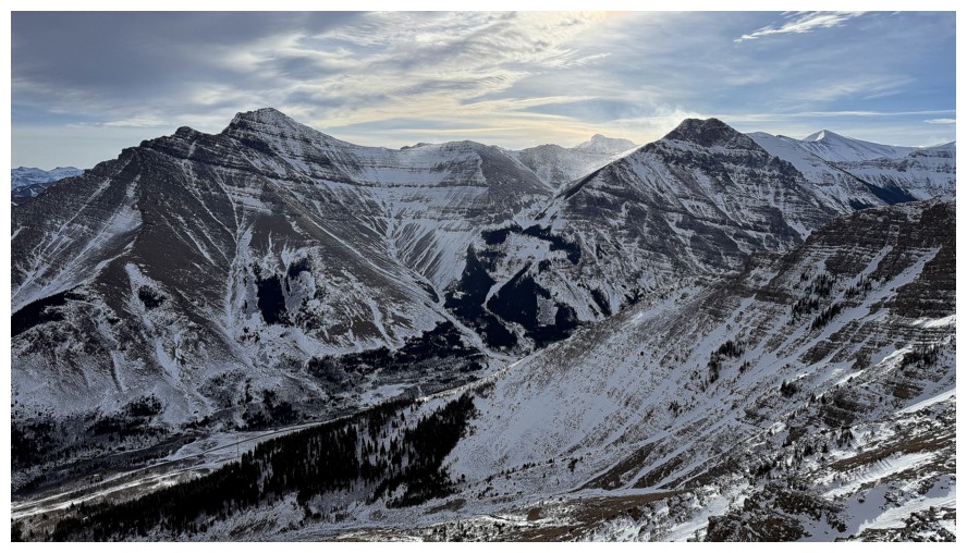
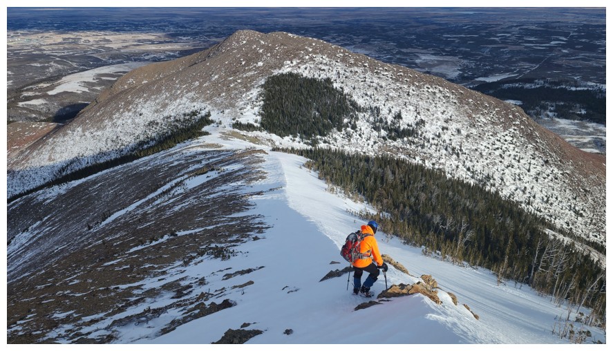
Looking down to The Croissant and The Muffin (photo by Dave)
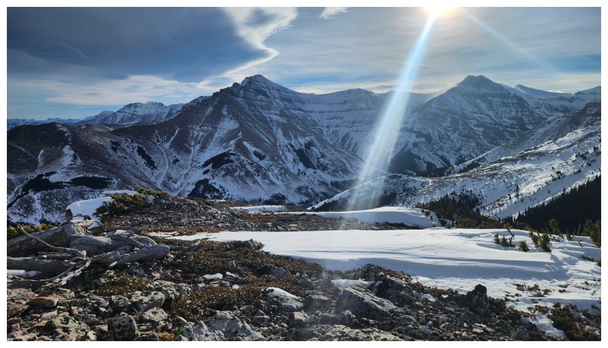
The far west end of Spionkop Ridge - definitely one of the best summit views in the Southern Rockies
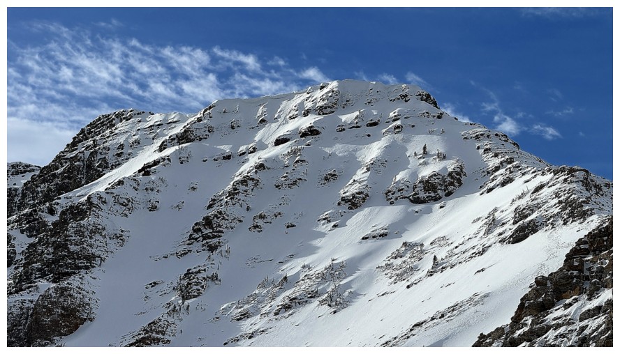
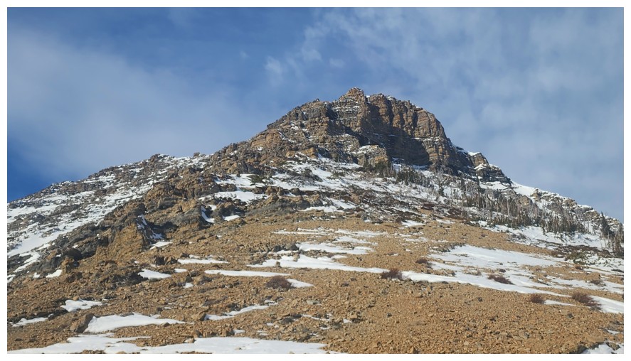
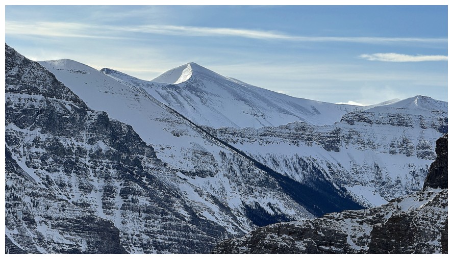
Close-up of Bakery Peak
The interesting northeast summit of Cloudowan Peak just left of centre
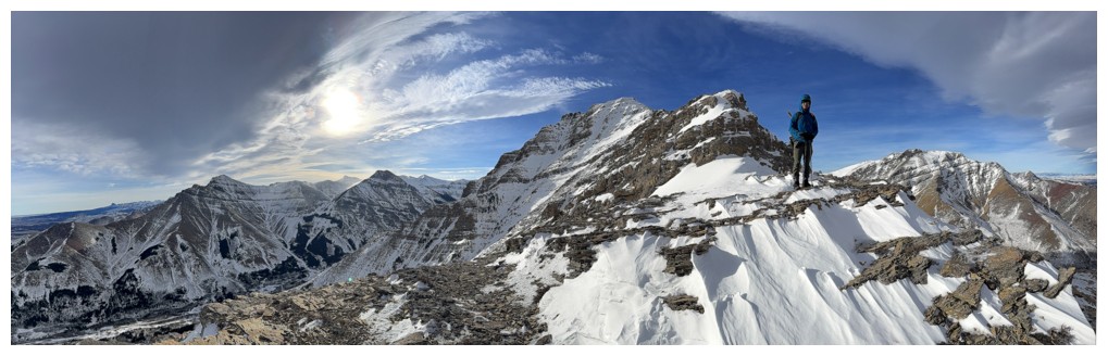
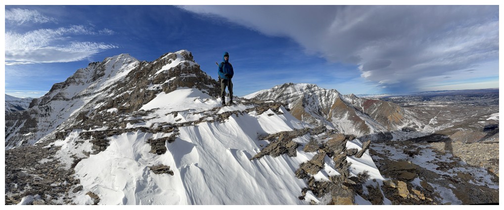
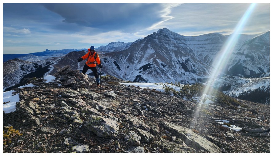
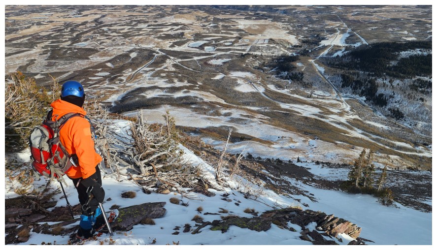
Dave and the view to the west from our highpoint
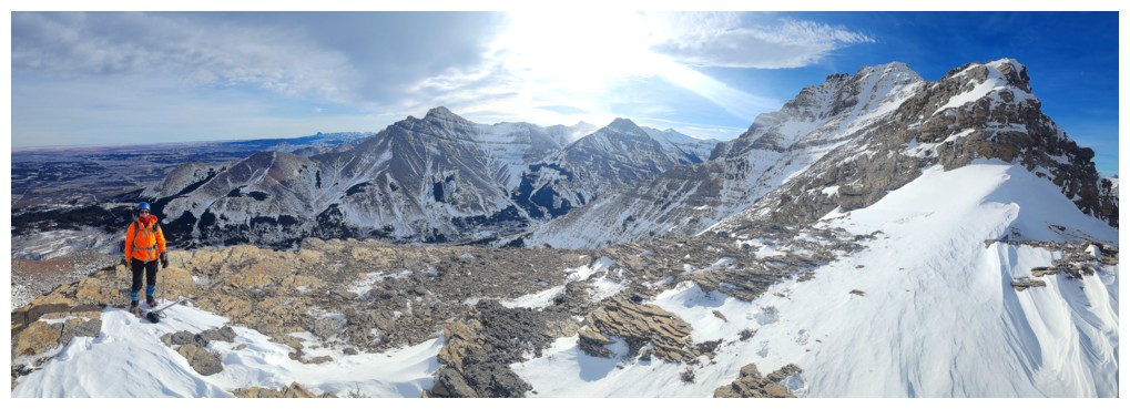
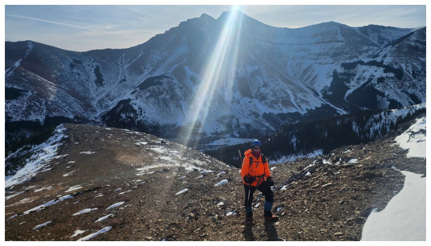
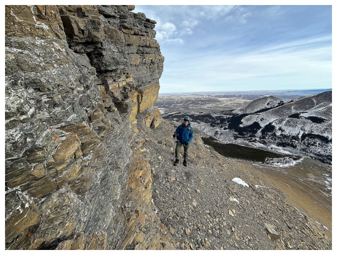
The non-committal guy and the view to the south from our highpoint (photo by Dave)
Windsor Mountain (left) and Castle Peak
Parting look at the beautiful Bakery Peak ridge and summit
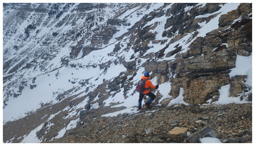
Heading down (photo by Dave)
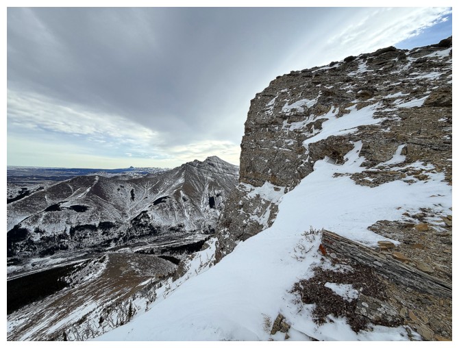
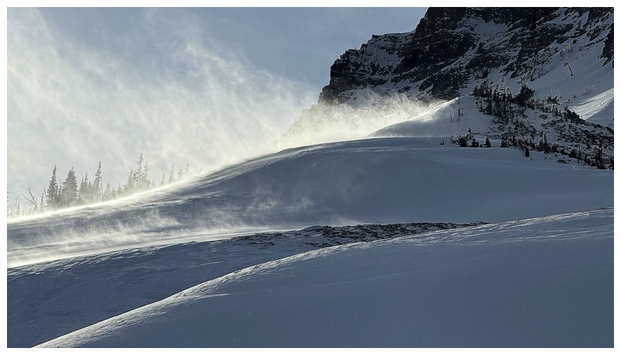
The reason you want to stay away from the ridge on a windy day
Once again we have found the infamous "A" (photo by Dave)
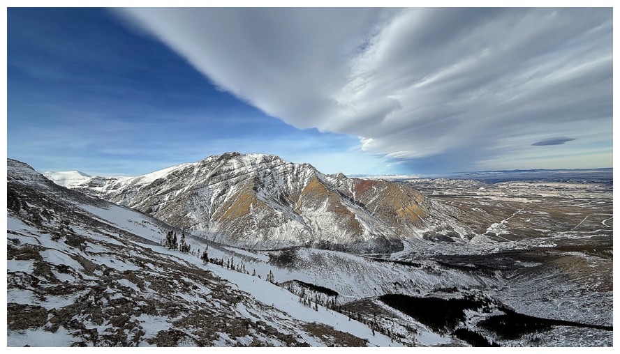
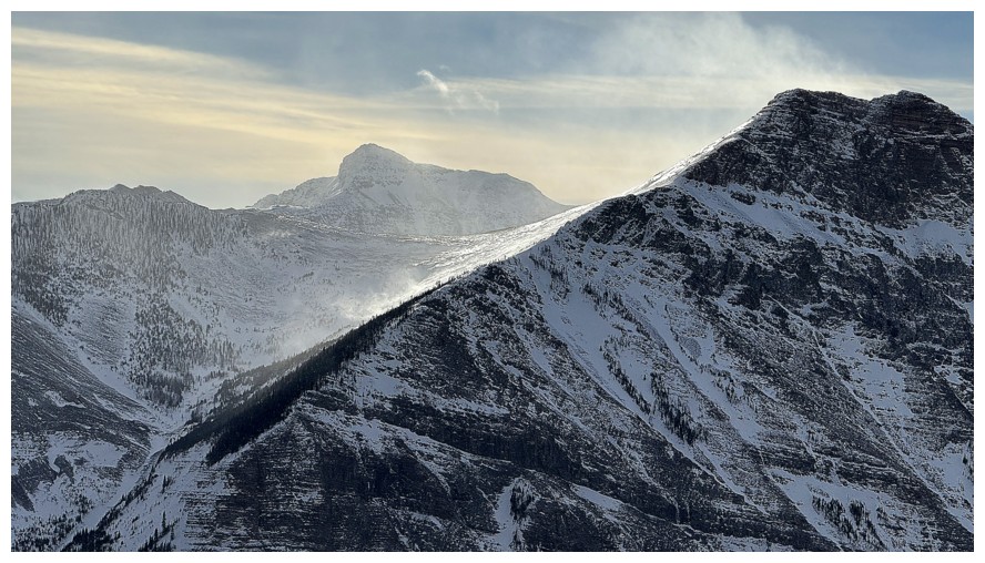
Drywood Mountain and it's outlier (The Knot, Woody, Stumpy, and Barky) and the Chinook cloud that was cause for some pretty cool scenes later on
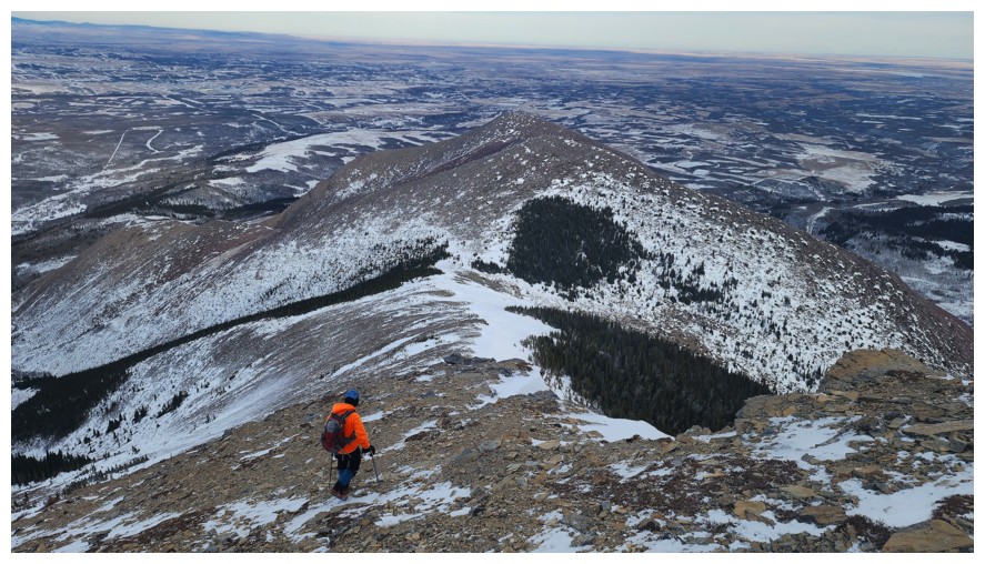
Dave chooses a wise descent line
Same as above without Dave (because he chose a wise descent line!)
With the exposure over the right side gone, we were able to follow the ridge for the remainder of the way (photo by Dave)
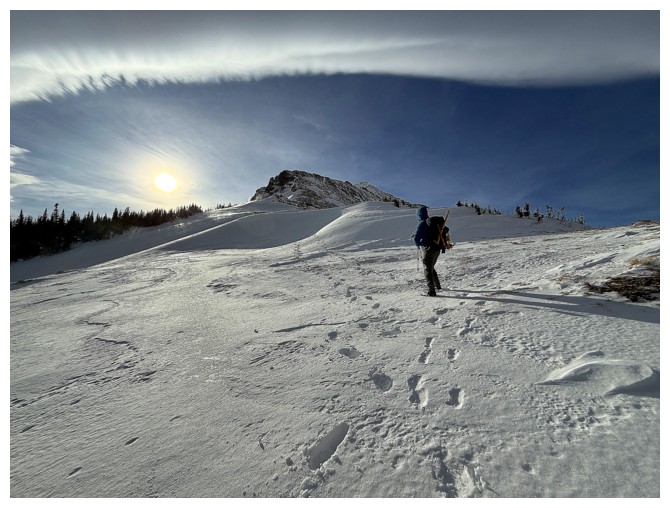
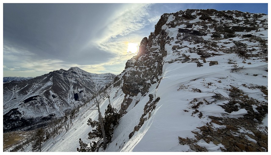
I love how Dave's phone camera deals with the Sun - it gives photos the "angelic" look (photo by Dave)

There's that cool Chinook arch (photo by Dave)
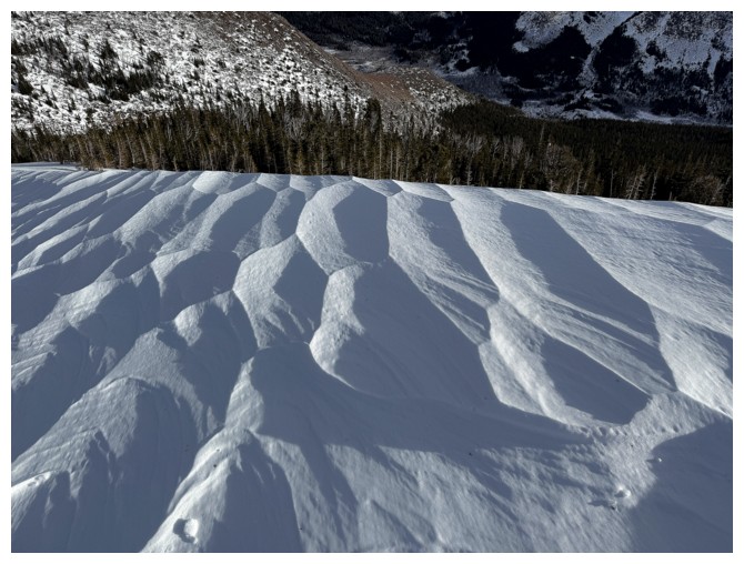
Beautiful geometry in the snow
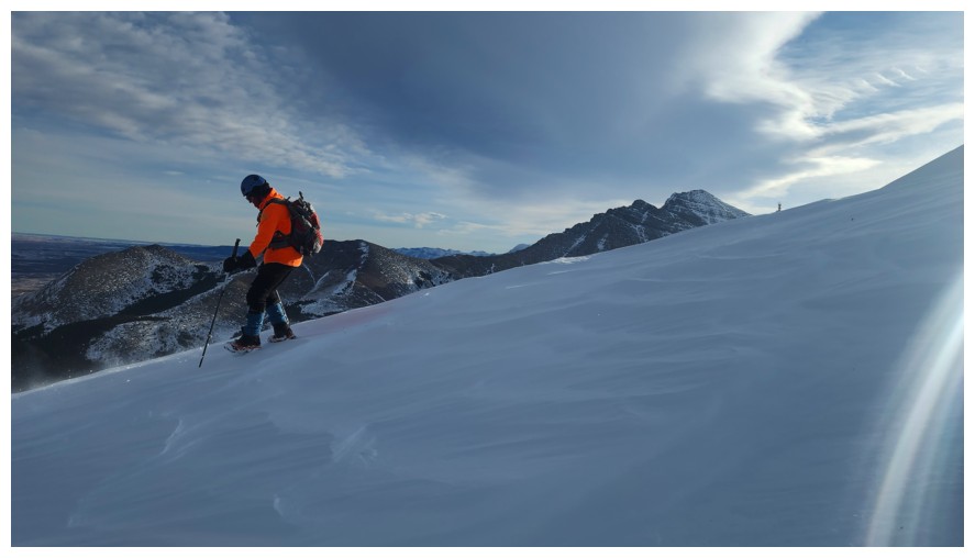
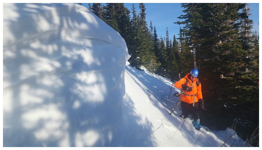
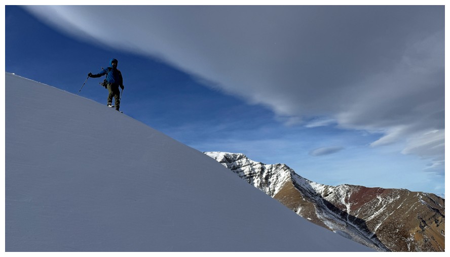
I still wouldn't want to slip here (photo by Dave)
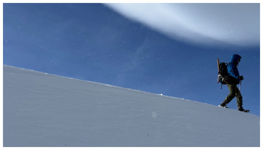
Dave between the snow and the cloud
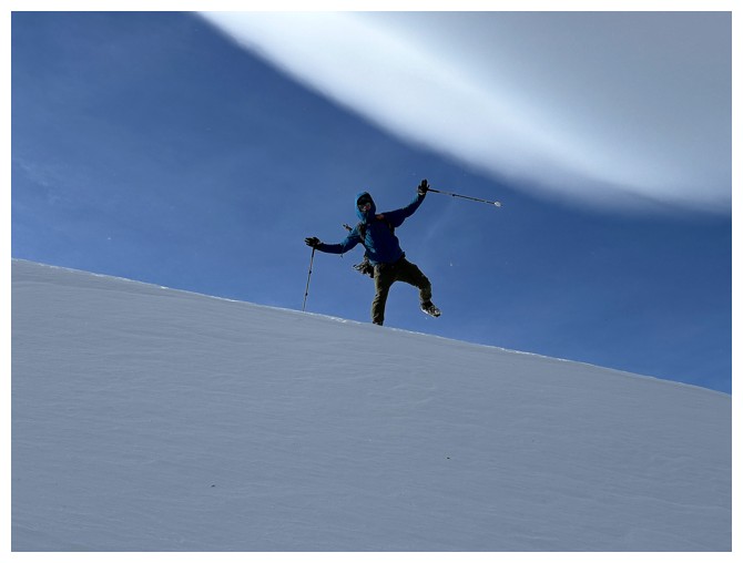
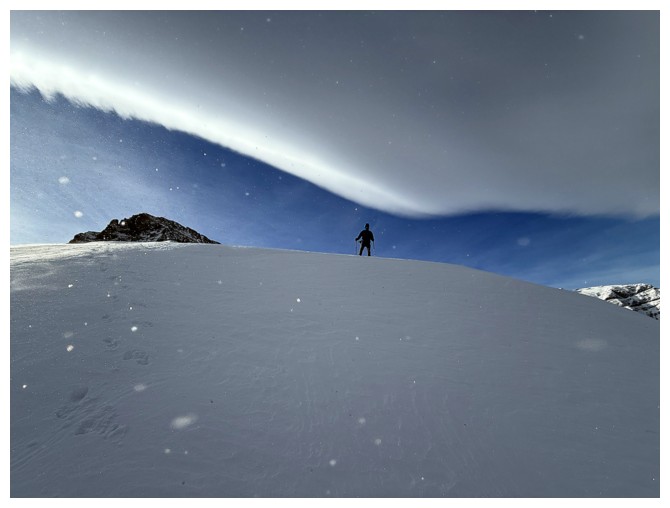
Dave being Brad
Then he drops the mic and walks off
Hopefully he won't get crushed between the two!
More importantly, hopefully the Butter Tart won't get crushed! It would still be edible but they are better fully intact.
Dave waits for a period of blowing snow
There's one, over to the left (photo by Dave)
Close-up
Butter Tart looks a little less buttery from this angle
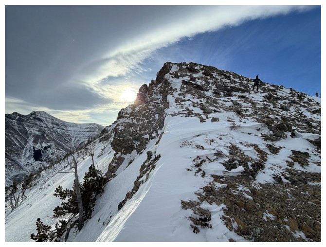
Ascending The Croissant (photo by Dave)
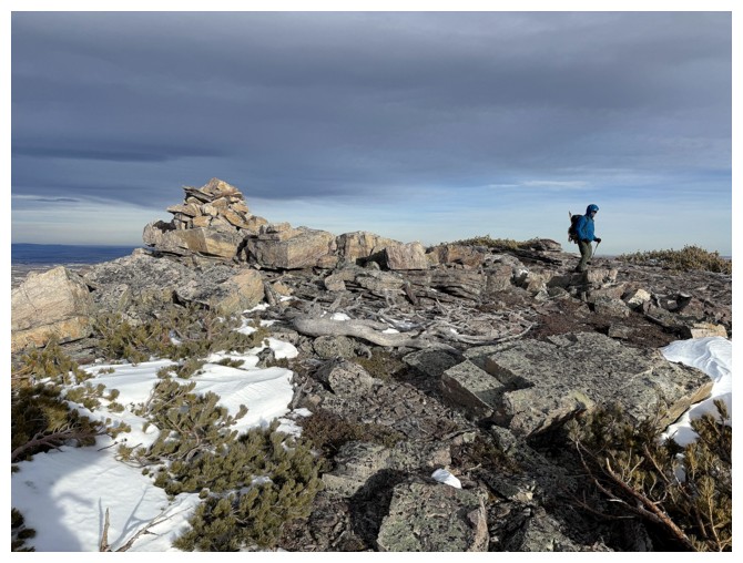
Dave manages to get a photo of the summit cairn. The wind at this point was downright deranged! (photo by Dave)
And he was able to snap a few summit view photos (photo by Dave)
Same as above (photo by Dave)
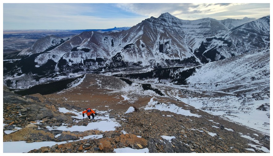
Lagging behind but almost there (photo by Dave)
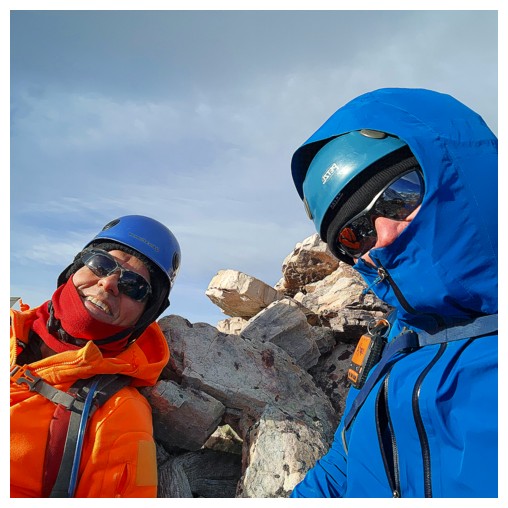
Leaning against the summit cairn, Dave gets a summit selfie (photo by Dave)
Bracing myself to stand for a lone summit photo (photo by Dave)
Heading down and over to The Muffin (photo by Dave)
Same as above (photo by Dave)
Dave maybe standing up straight but it was a struggle for both of us to maintain balance
Dave gets to the summit of The Muffin (photo by Dave)
Looking
back to The Croissant, Butter Tart, Bakery Peak, Icing On The Loaf, and
Ciabatta and The Breadsticks (near the right). My stomach is rumbling!
(photo by Dave)
View to the north (photo by Dave)
The one photo I took from near the summit. It was so windy, I was afraid the phone would be ripped from my hands.
Gettin' outta' Dodge, via the southeast side of The Muffin (photo by Dave)
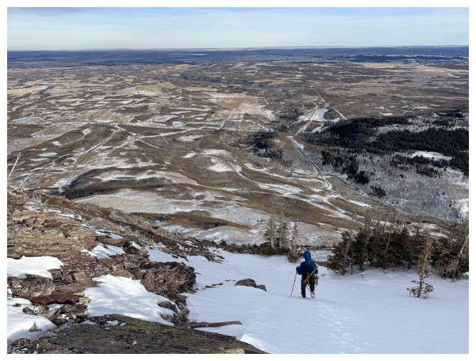
Dave made a line of terrific snow steps down the gully
The arch again
Happily following Dave's steps (photo by Dave)
Still happy (photo by Dave)
Took a different route than Dave for a short but very steep section (photo by Dave)
Onto easier terrain where the wind is not threatening to "#%&$@!^ end" us (photo by Dave)
Parting look at The Muffin (photo by Dave)
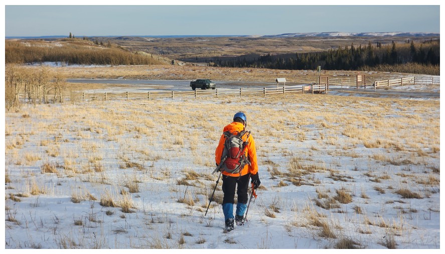
Final few hundred metres of an awesome trip (photo by Dave)
With the wind at his back, Dave could be breaking the posted 70 km/h speed limit!
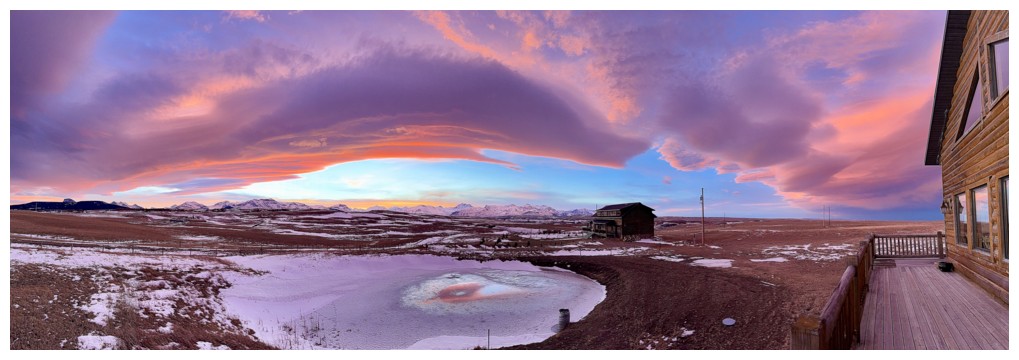
Stunning Sunset to end the day
The End
LOG