Mount Rowe IX
January 24, 2025
Mountain height: 2464 m
Elevation gain: 820 m
Ascent time: 3:15
Descent time: 1:35
Solo snowshoe.
The plan for
the day was a quick ascent of Rowe East – my new favourite snowshoe trip in
Waterton. However, after following a good trail up Mount Rowe for a fair
distance, going to the summit of the higher peak (now my second favourite
trip!) seemed to be the better choice.
While cloudy conditions
were forecast, there were enough sunny breaks to provide a few good views. By
the time I reached the summit, however, all bets were off and in rolled the
clouds. I stayed at the top for less than two minutes before making a hasty
retreat.
Unfortunately,
the descent was bit of a bust. Good snow conditions allowed me to glissade a decent
portion of the route on previous trips. However, alternating sections of rock
hard, icy snow and mid-thigh deep powder would not permit any fast travel for
this day. What in the past took an hour, took an hour and a half - I guess you can't win them all!
As always, a
terrific workout on a great route.
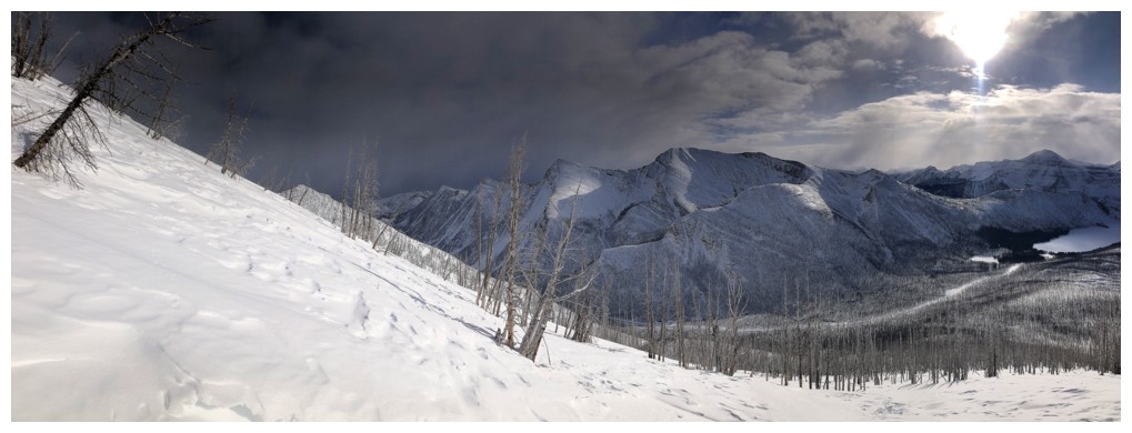
Rowe East and Rowe East Minor at the far right
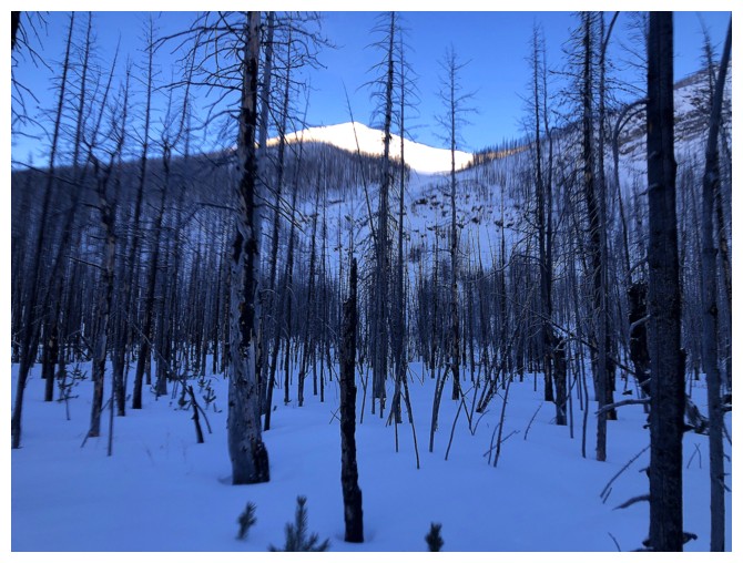
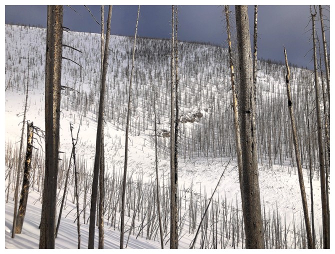
Mount Rowe getting some full Sunlight
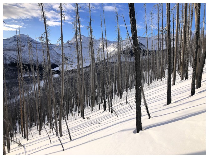
Even in the trees there are decent views towards Cameron Lake
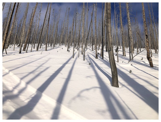
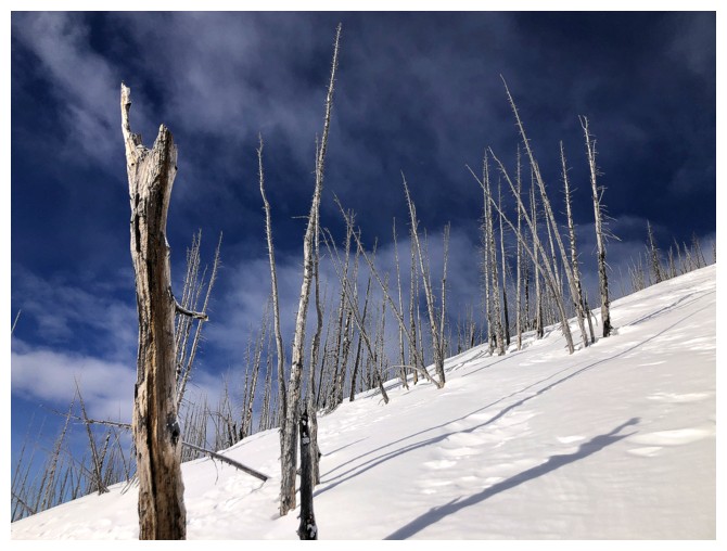
Tree shadows are always a good thing
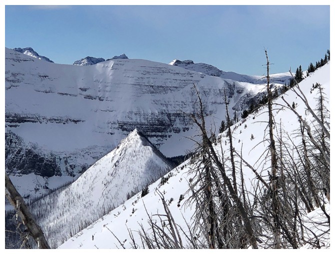
Went up Rowe East along the rock band in the centre 9 months earlier
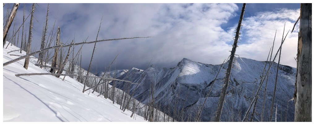
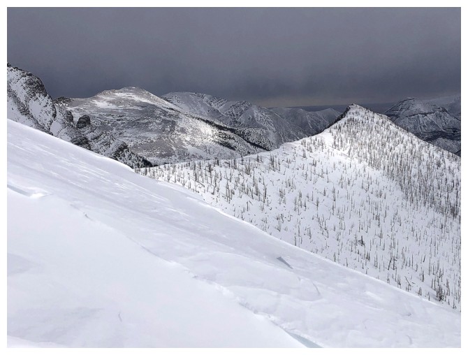
Surprisingly, the bad weather rolled in from the east, not the west
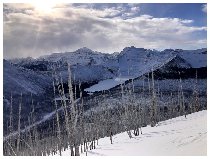
Better view of Cameron Lake
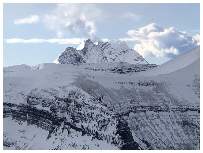
Mounts Kintla and Kinnerly peek over Akamina Ridge
Cloudy and clear

First treeless view of the lake
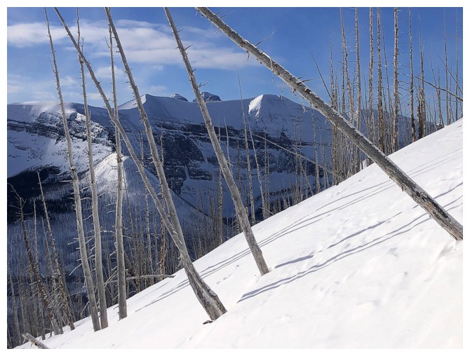
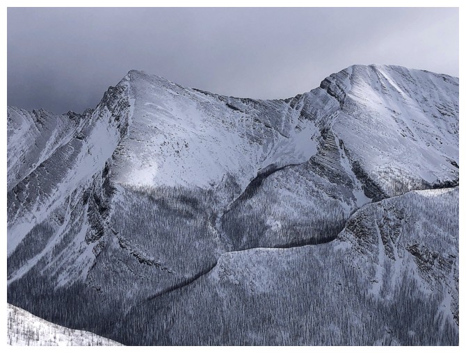
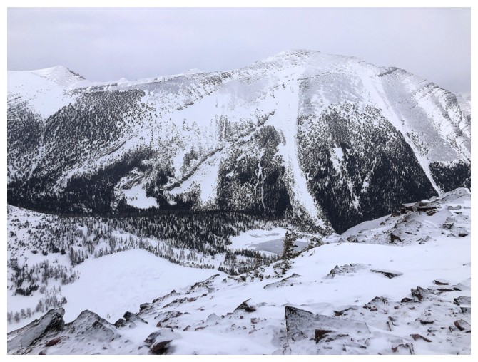
Finally above Rowe East, at the right
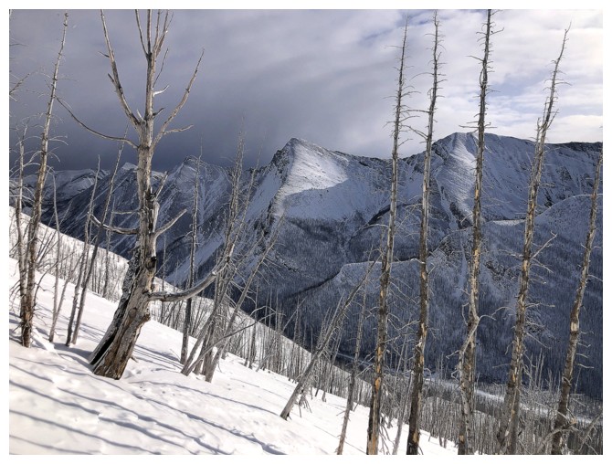
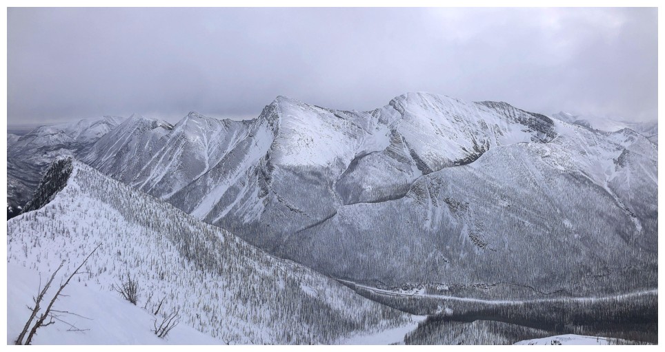
Buchanan Ridge (left) and Mount Carthew (right)

Above the steep terrain, lie more gentle slopes to the summit ridge,
although there are a few small but steep steps to negotiate

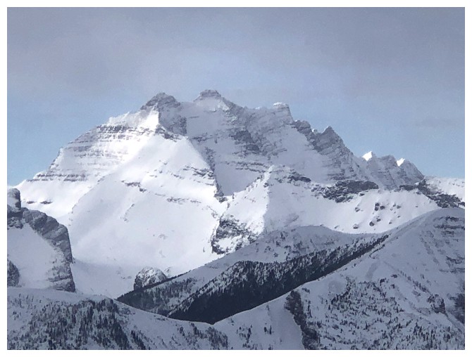
Mount Lineham
We tried to scramble up that rock band at the right but failed, on our first ascent of Rowe in 2006
I call the low peak in the centre Bennett Pass Peak - it's low but worthwhile
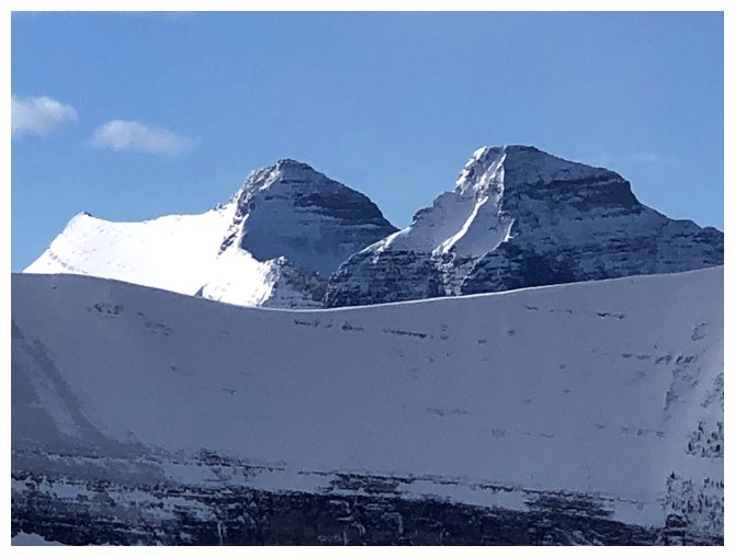
Kintla and Kinnerly again
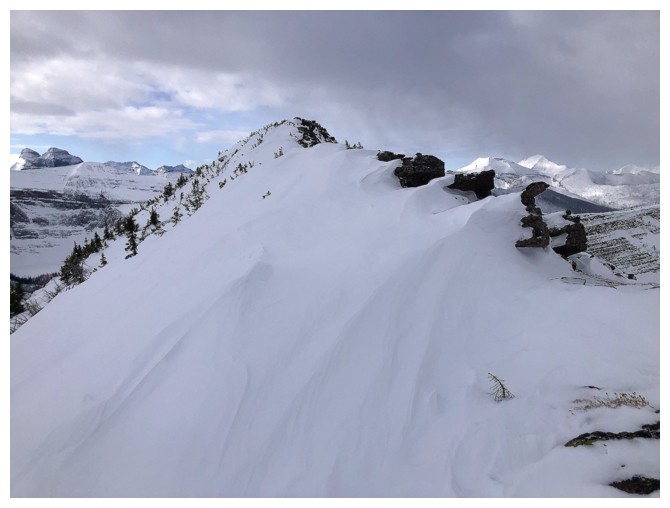
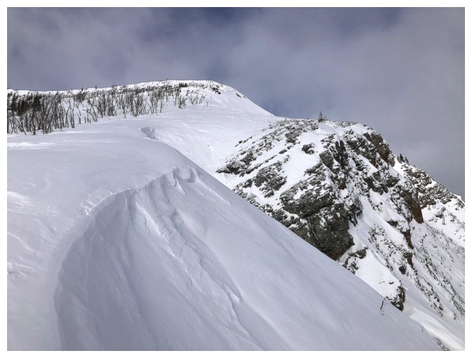
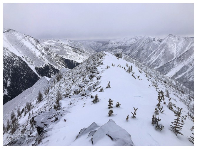
On the summit ridge

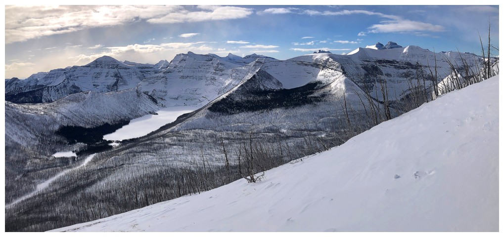
Looking down to the frozen Rowe Lakes
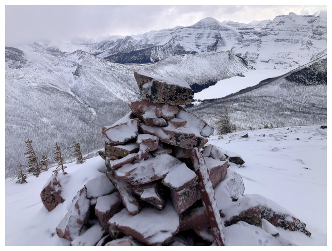
Summit cairn
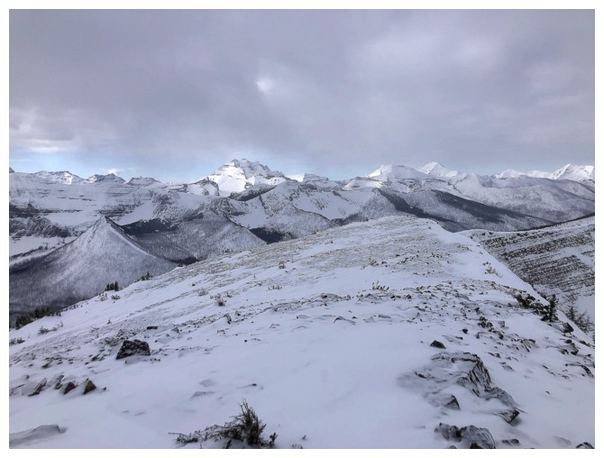
The weather is closing in now in all directions
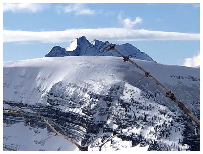
Mandatory photo of Long Knife Peak
Also of Mount Peabody
Lineham and the Rowe Lakes
Heading down
The Buchanan Ridge massif has four major summits: Mount Carthew, Buchanan Ridge, The Senator, and Buchanan Northeast. Only Mount Carthew is official.
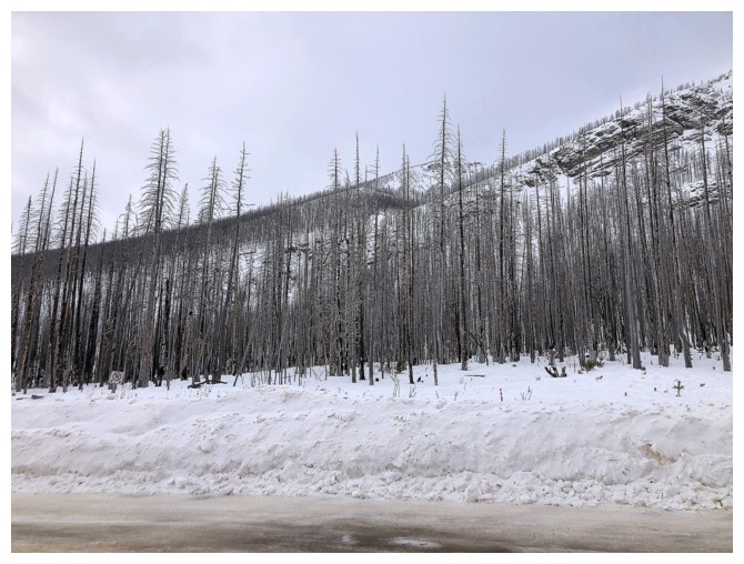
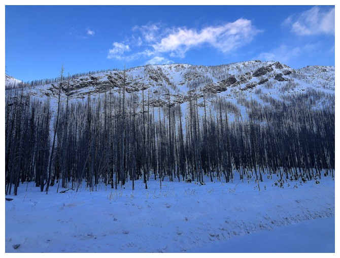
Gloomy look at the objective from near the parking lot
The End
LOG