Pincher
Ridge exploration
Part I
April 29, 2026
Highpoints:
2200 m, 1900 m
Total elevation gain: 1000 m
Round-trip
time: 7:30
Solo scramble.
On my third and
final day of a “mini Southern Alberta excursion” I picked the southeast side of
Pincher Ridge – not the summit, just an exploration of the geologically
fascinating area southeast of the summit. I had seen some of the terrain in May of 2024 but was craving a more thorough look.
After biking
the Drywood Falls trail for about 3 km, I ditched the bike and picked a snow-free
and feasible line straight up the mountain. 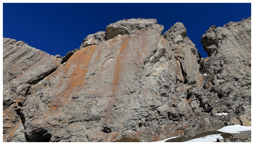 That route didn’t last long. Within
minutes I was detouring far to the right, again on the premise of seeing as
much of the terrain as possible. The detour yielded some terrific rock
scenery, but on increasingly steep and exposed terrain. As well, I could see
the imposing limestone rock band high above would eventually leave me “High and
Dry” - provoking the age-old question: Radiohead or Def Leppard? Personally, I love them both.
That route didn’t last long. Within
minutes I was detouring far to the right, again on the premise of seeing as
much of the terrain as possible. The detour yielded some terrific rock
scenery, but on increasingly steep and exposed terrain. As well, I could see
the imposing limestone rock band high above would eventually leave me “High and
Dry” - provoking the age-old question: Radiohead or Def Leppard? Personally, I love them both.
Veering back to
the left became prudent. At first, it appeared I would have to lose a huge
amount of elevation to get back onto the line I originally intended, but a cool
snow slope going up and to the base of the limestone band suddenly appeared.
Hopefully, that would lead to the weakness I had seen in the band from the
bottom. And yes it did.
It also led to
snow-loaded slopes and the start of the end for this route. 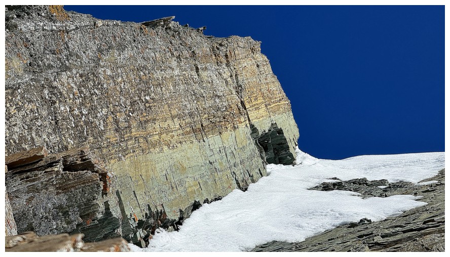 I was able to gain
a significant amount of elevation following a ridge to a point just south of
Pincher’s “infamous” east ridge. At this point, however, the snowy conditions
were becoming cause for concern and conservative decision making. After a short
break I set out to explore a beautiful nearby rock band. It didn’t disappoint,
but the terrain above it made me shudder a little. After a close call two days
earlier on Bakery Peak, I wasn’t about to tempt fate and decided to bail on
further travel. Instead, I enjoyed an effortless plod down the safer snow
slopes slightly to the east.
I was able to gain
a significant amount of elevation following a ridge to a point just south of
Pincher’s “infamous” east ridge. At this point, however, the snowy conditions
were becoming cause for concern and conservative decision making. After a short
break I set out to explore a beautiful nearby rock band. It didn’t disappoint,
but the terrain above it made me shudder a little. After a close call two days
earlier on Bakery Peak, I wasn’t about to tempt fate and decided to bail on
further travel. Instead, I enjoyed an effortless plod down the safer snow
slopes slightly to the east.
A little
disappointed about pulling the plug relatively early in the day, I decided to
bike back to the trailhead and perhaps run up Cinch Hill. That was until a band
of red argillite near a magnificent route up Bridle Peak I has completed at the
end of 2025 caught my attention about a kilometre from the trailhead. Game on
for this new route...
Click HERE to see the second part of the trip.
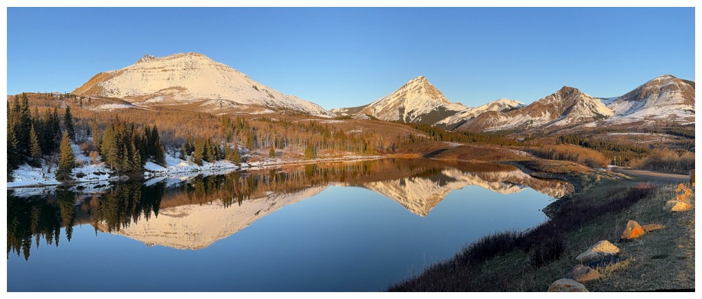
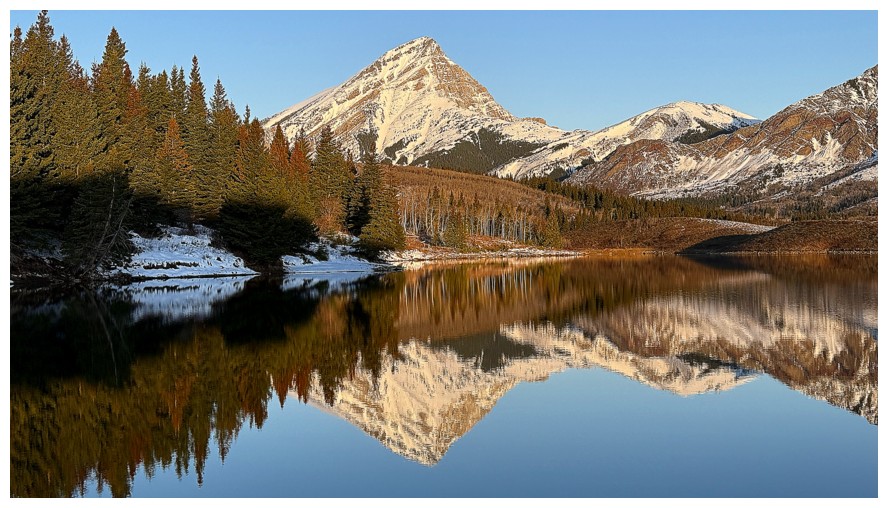
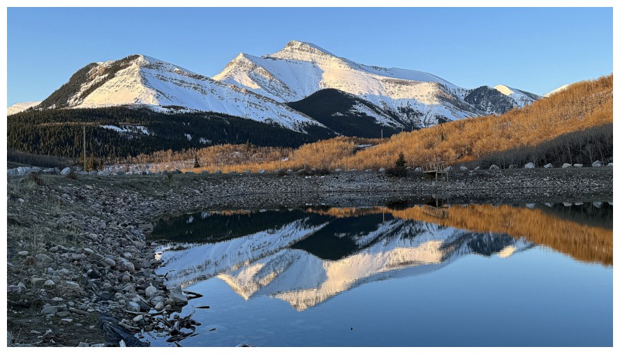
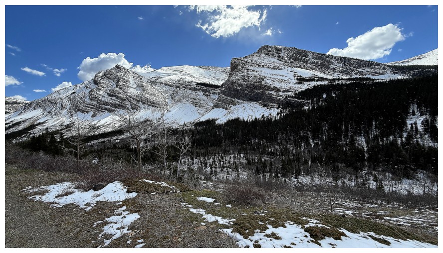
The usual stop at Butcher Lake to admire reflections in it. Left to
right: Pincher Ridge, Victoria Peak, Prairie Storm, Prairie Sky, and
Prairie Fire
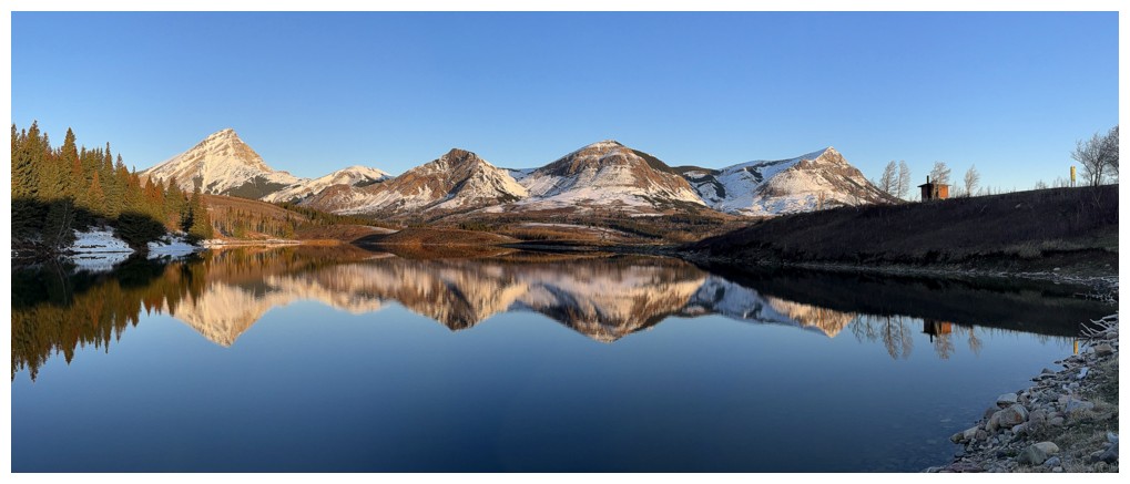
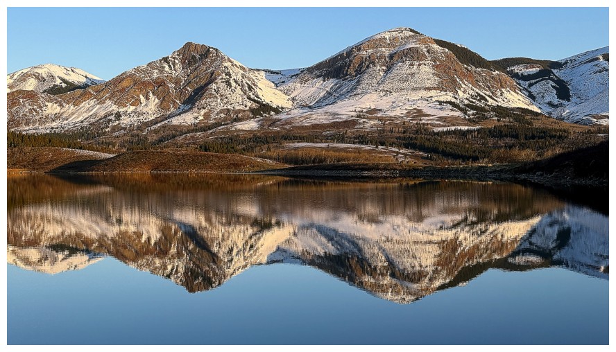
Same as above, without Pincher and with Prairie Bluff and an outhouse at the right
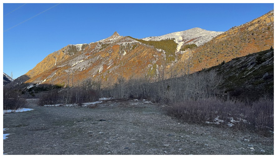
Drywood Mountain
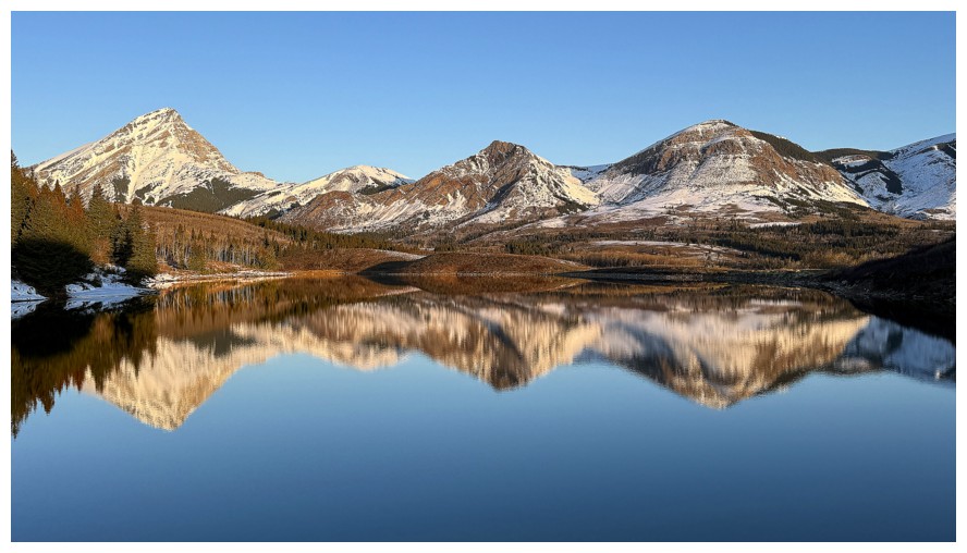
Close-up of Storm, Sky, and Fire
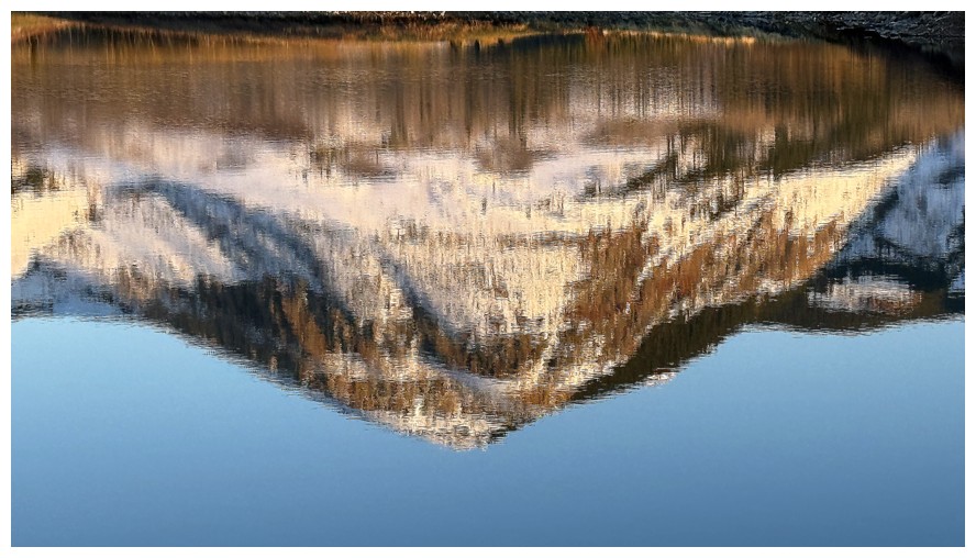
The reflection becomes slightly diffuse
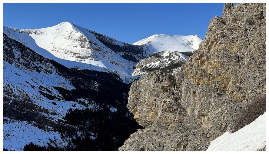
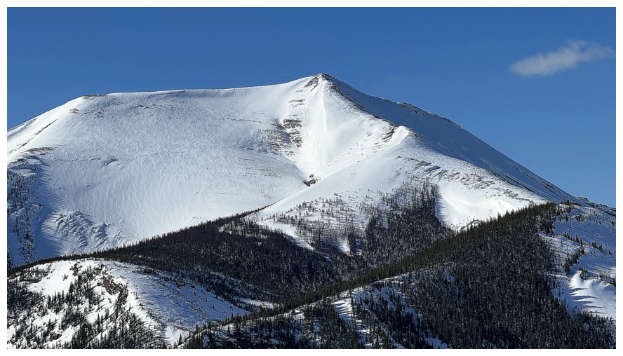
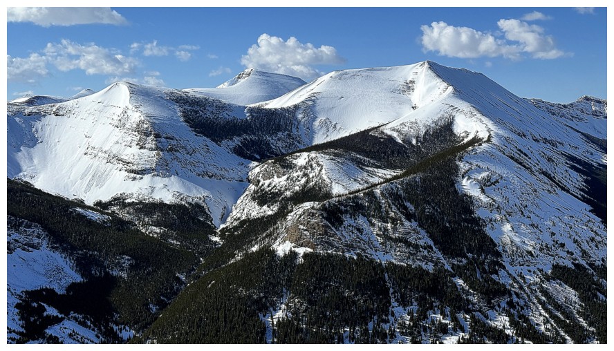
At the trailhead. The summit of Pincher Ridge, just left of centre, and Bridle Peak, right of centre
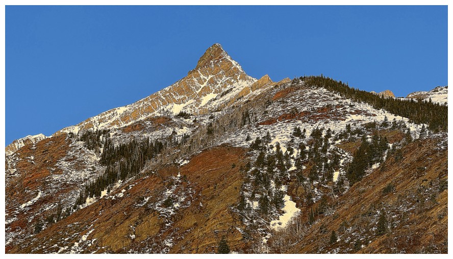
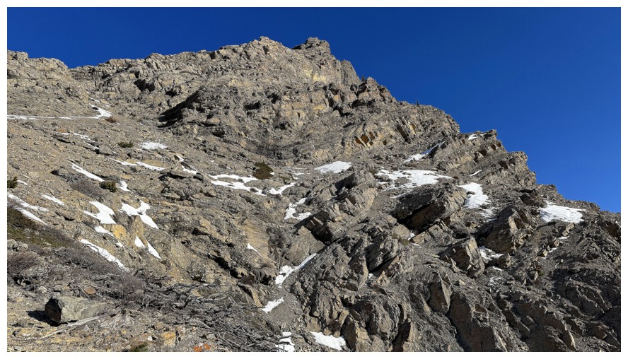
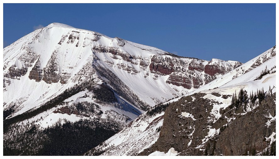
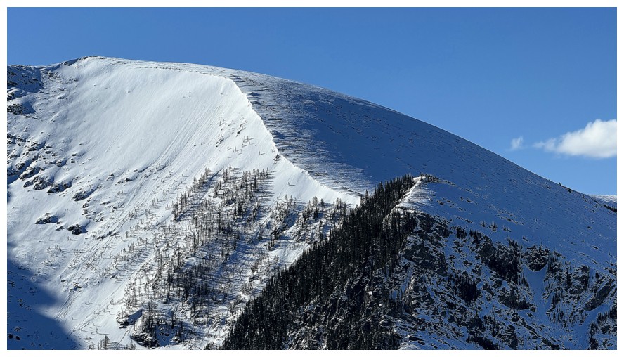
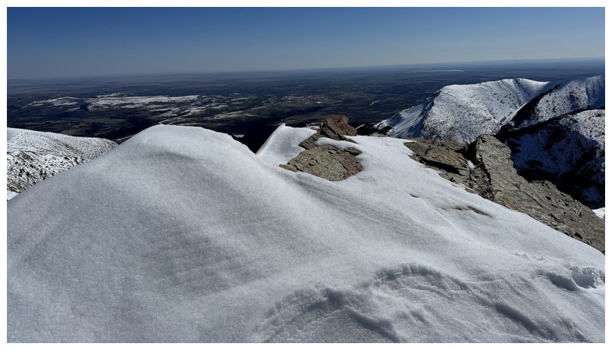
Close-up of Pincher's summit. The goal of the trip was to explore terrain on the left skyline.
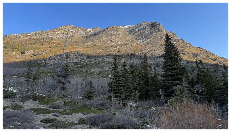
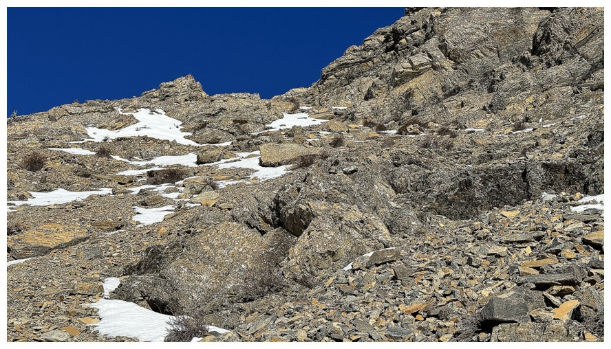
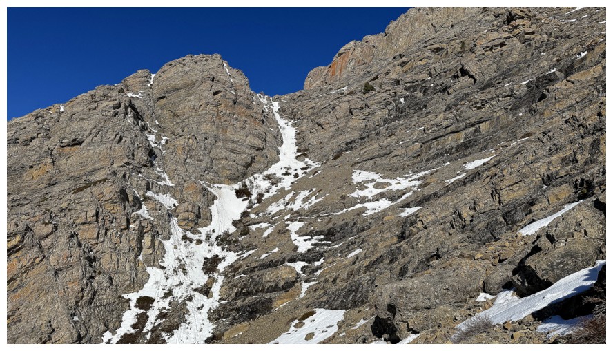
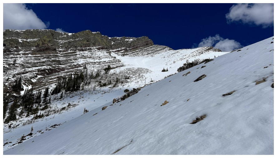
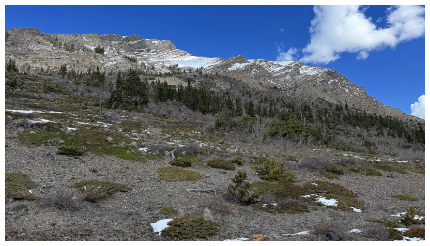
At the end of the bike approach, looking up some potential routes. I
picked the gully just left of centre, but ended up way over of the
right side.
The intended route
But I'm now going far right
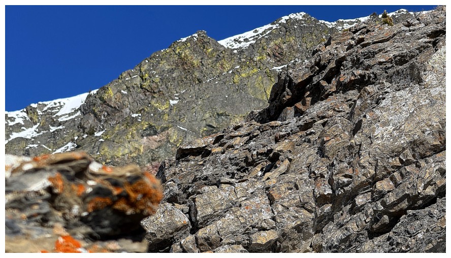
First lichen-covered rock encounter
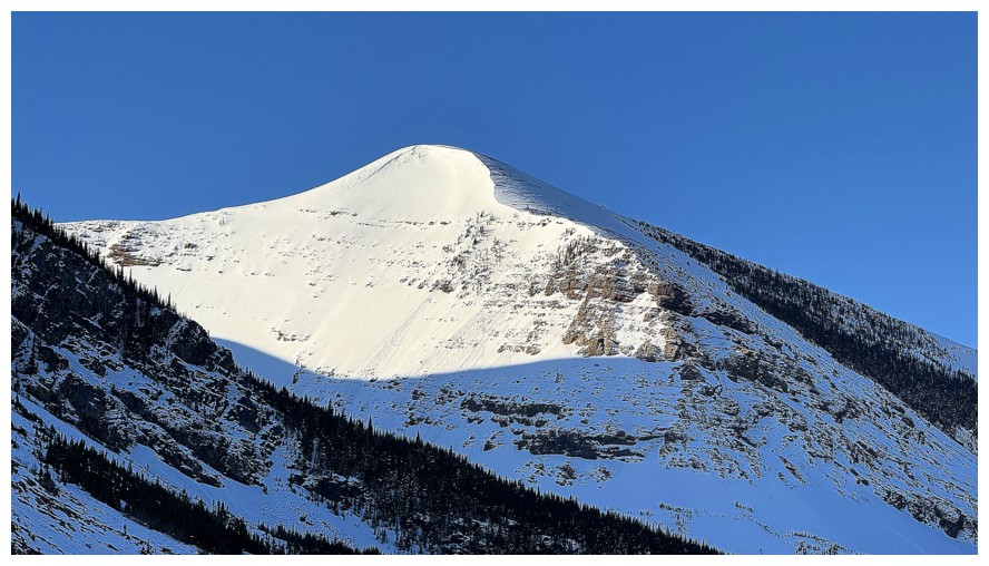
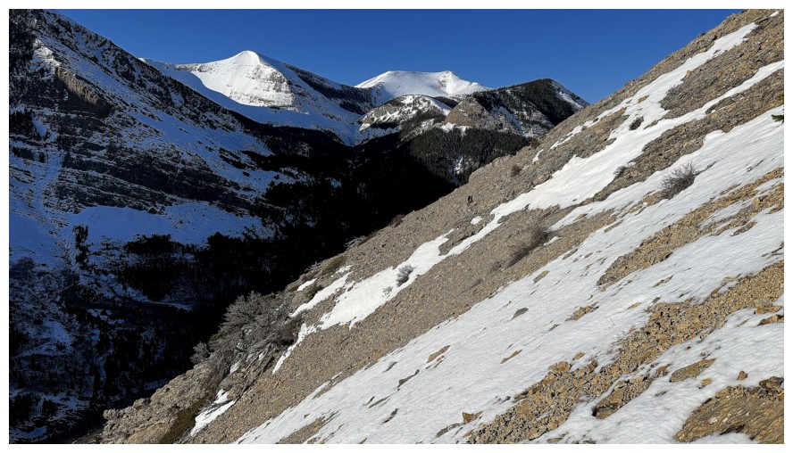
A very snowy Redwood Peak
Solid rock on one side and rubble on the other
Still traversing to the right
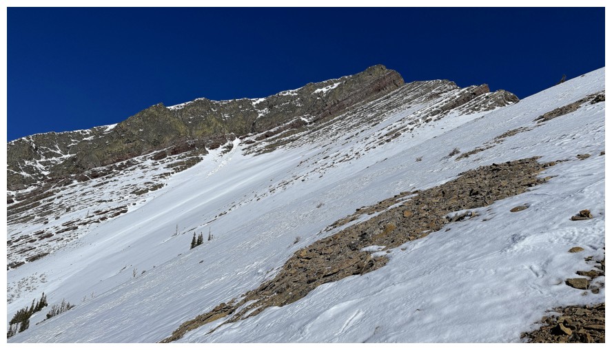
The terrain ahead does not look like a scramble
The terrain behind is just steep scree
Approaching the end of the traverse to the right
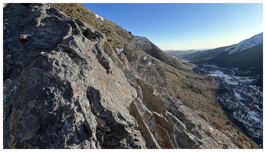
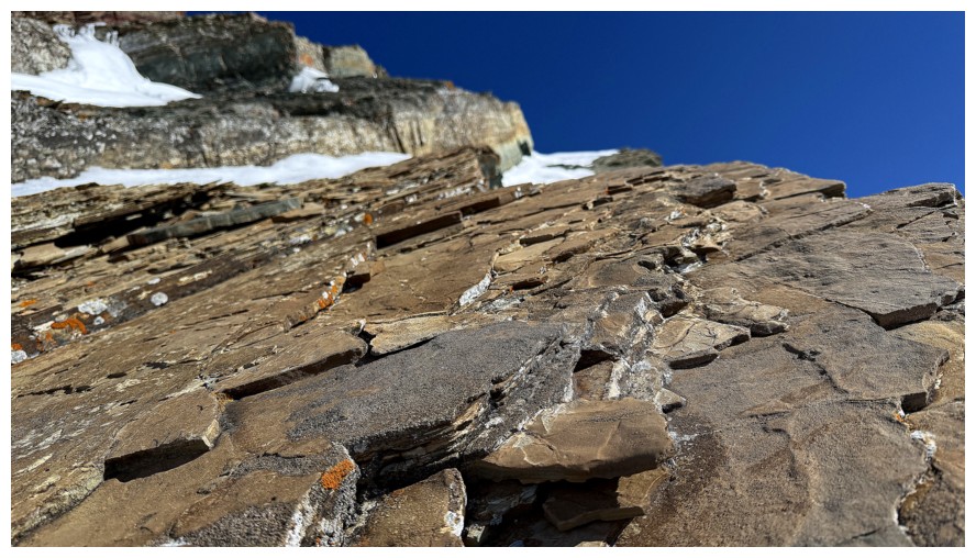
Love the way this rock has fractured
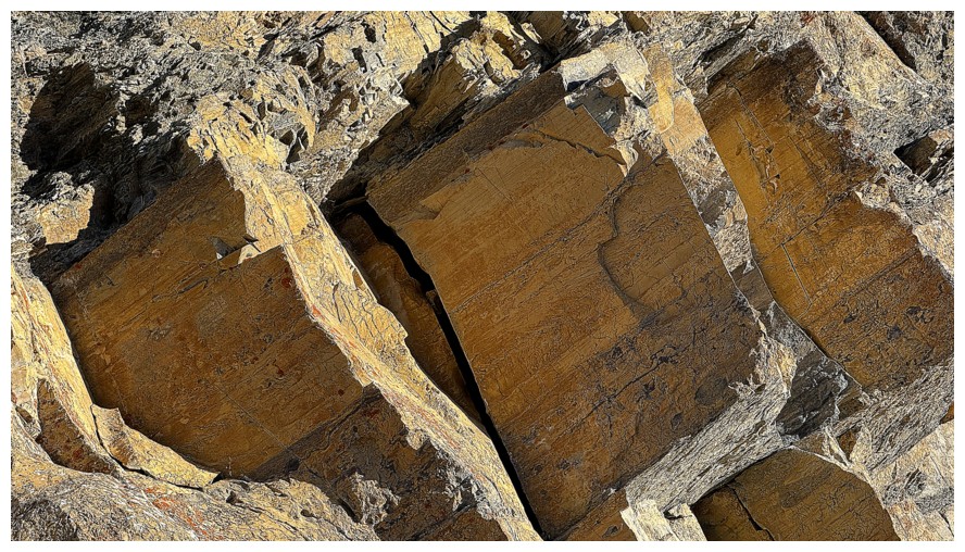
Close-up
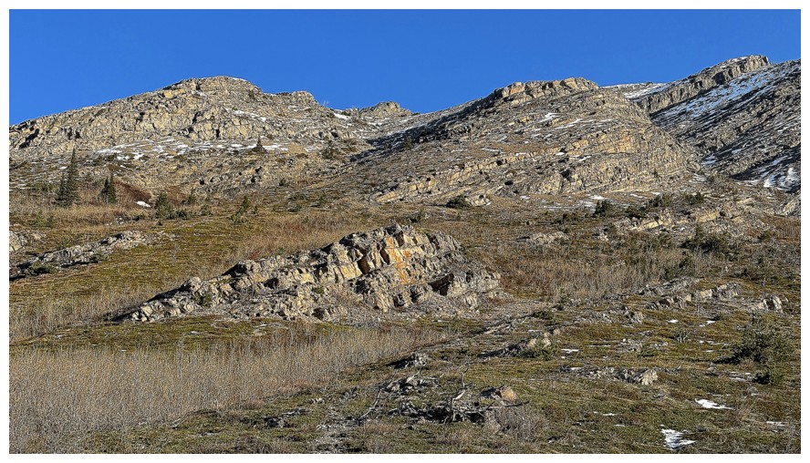
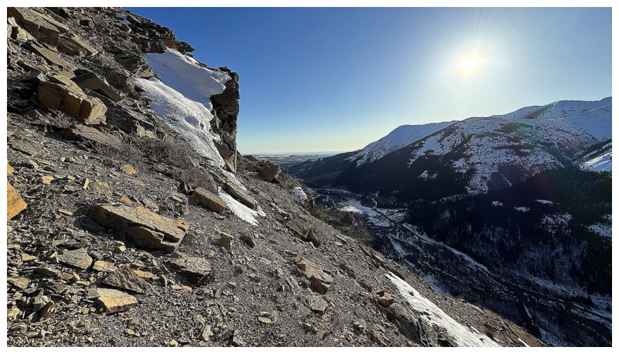
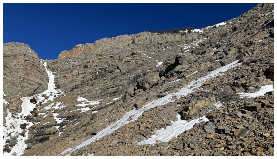
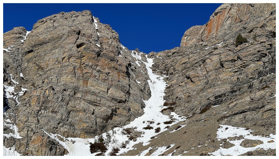
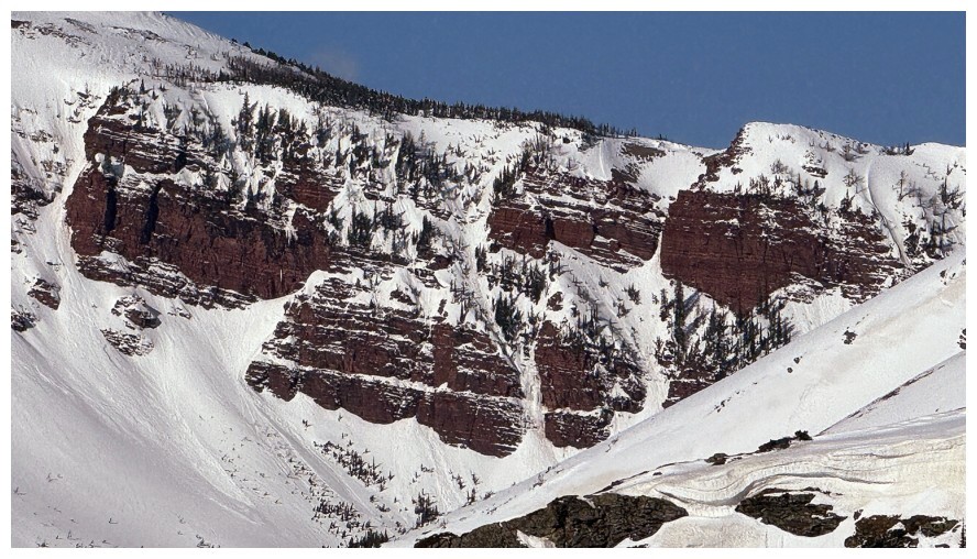
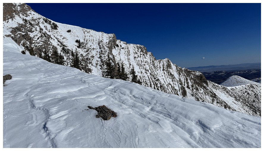
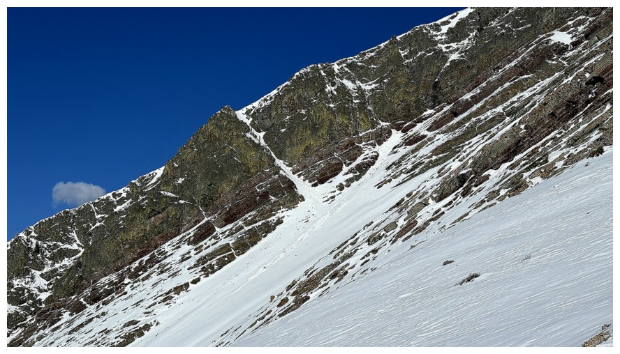
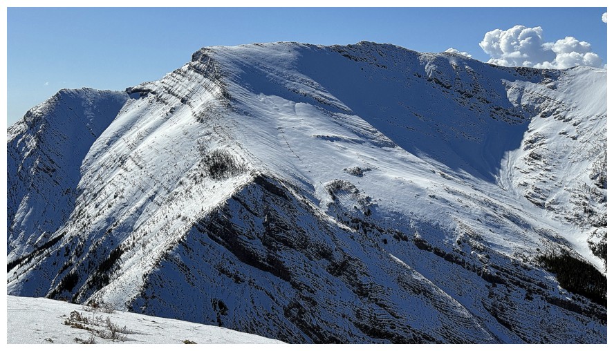
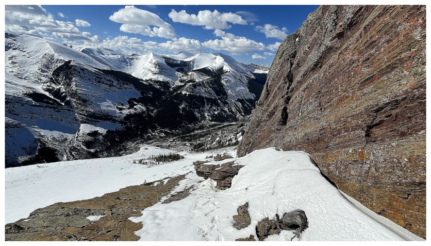
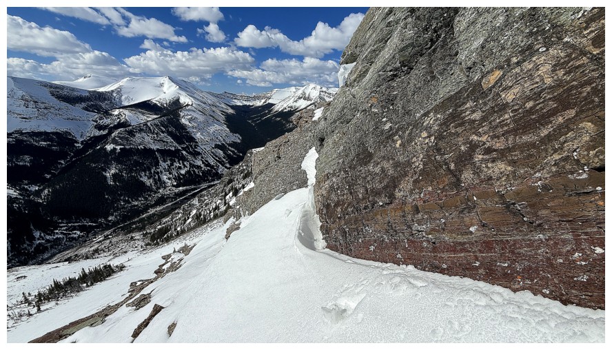
The end of the line for the traversing. There's a huge cliff below. The
awesome route I used for Bridle Peak at the end of 2025 follows the
skyline from right to left.
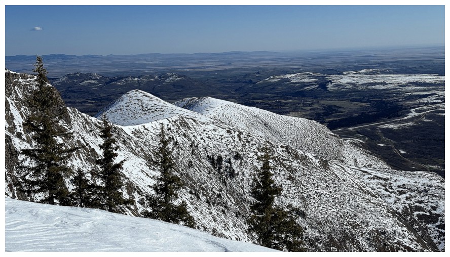
Looking over to Redwood Peak and the Southwest summit of Drywood Mountain
Time to find a feasible route up, from the detour
The snow slope at the far left looked to be to steep from afar, but hard to tell until you are right under it
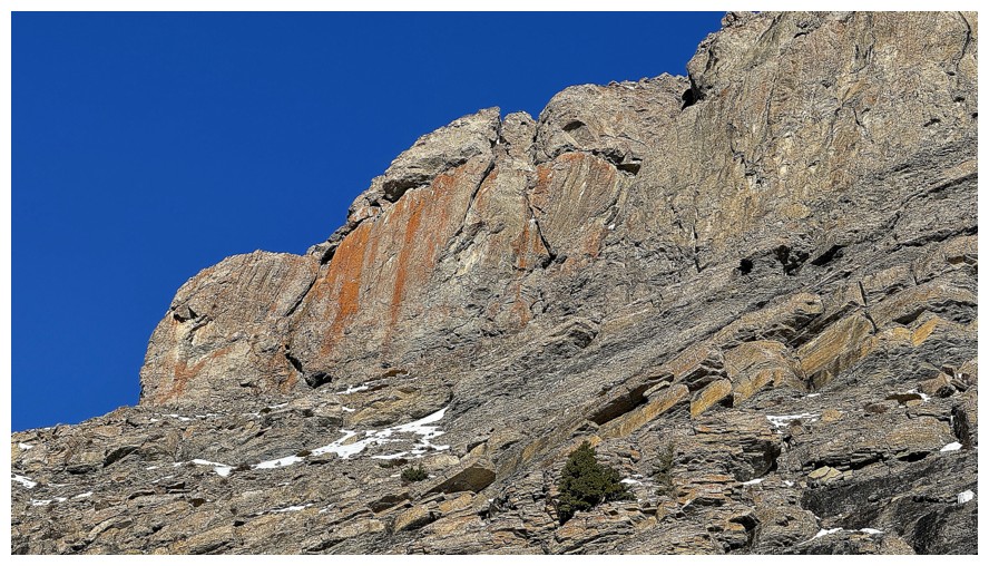
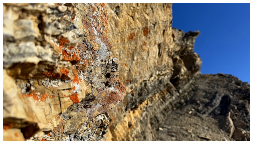
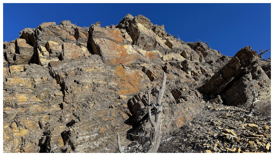
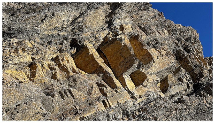
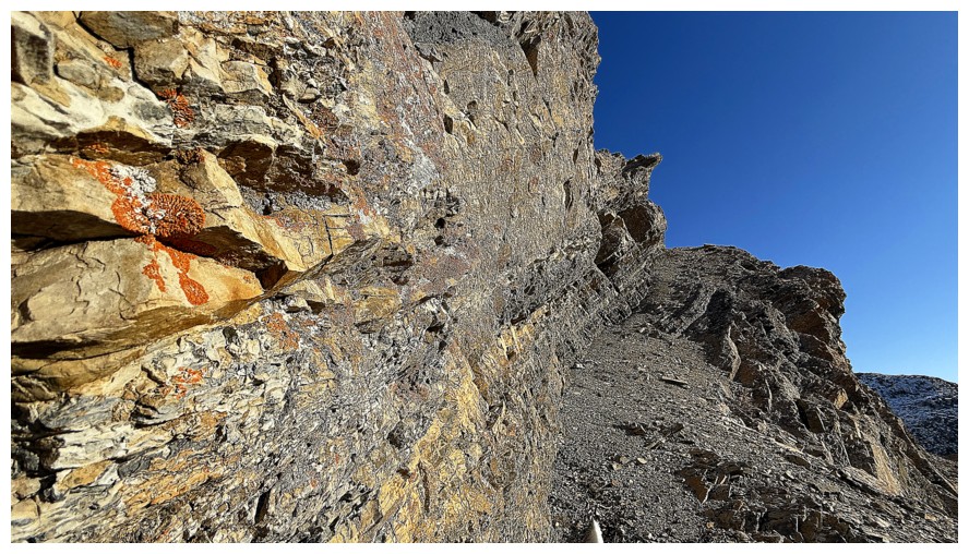
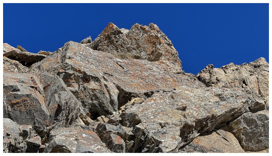
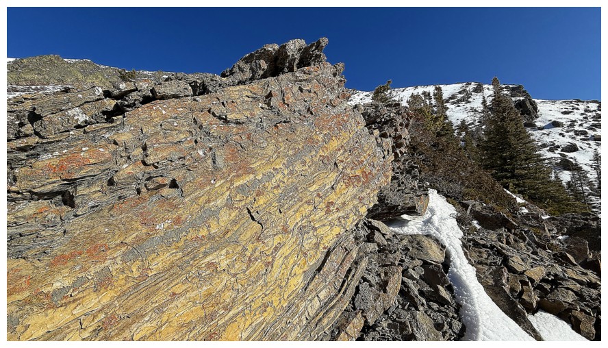
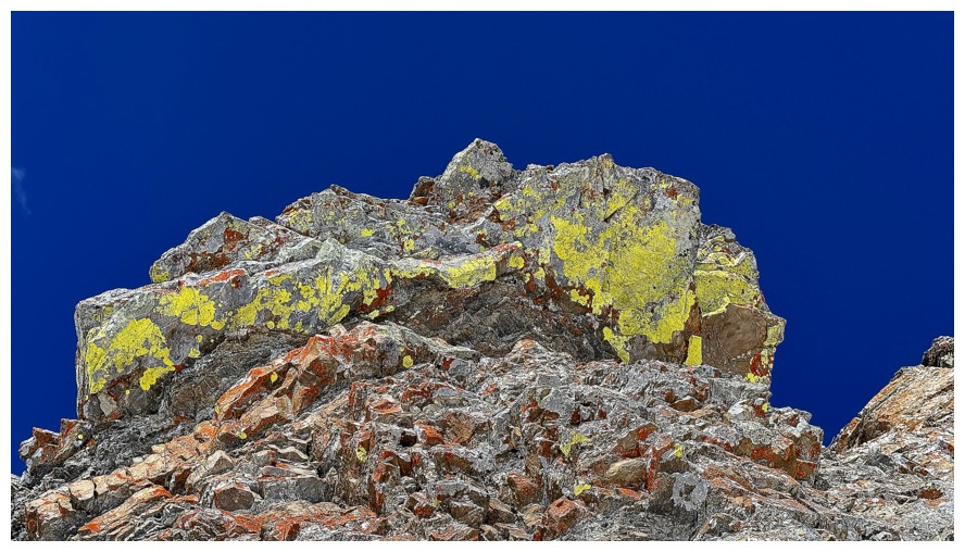
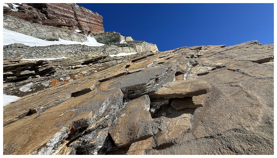
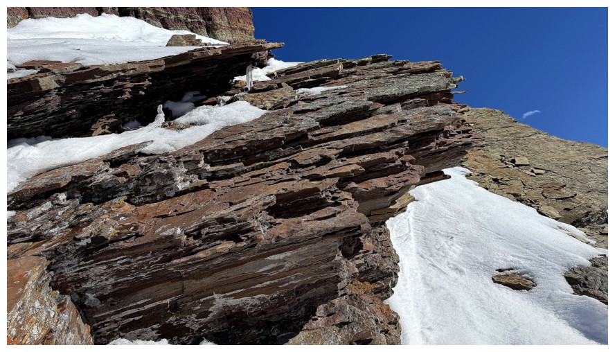
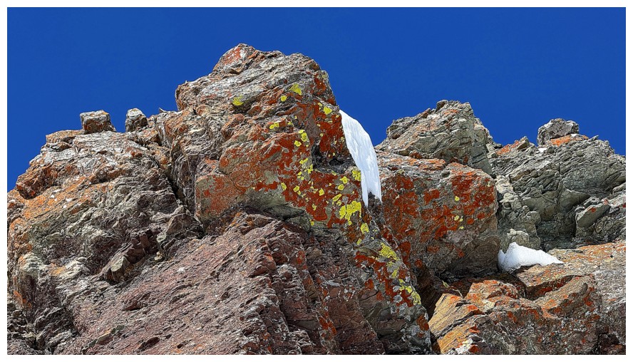
The huge amount of orange lichen on the cliffs above provided plenty of
motivation to get up-close (but not personal - that would be creepy!)
Heading for the snow slope
Almost there. The perceived angle began to relax at this point.
Not as steep as expected
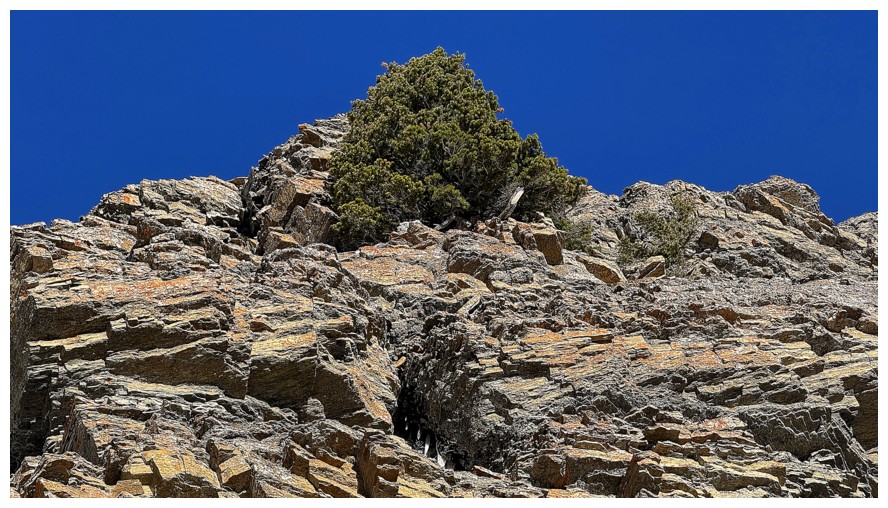
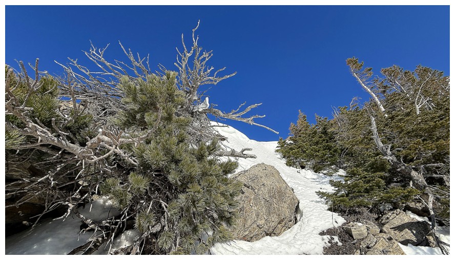
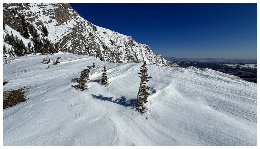
A lone and flourishing tree in an oasis of rock
At the base of the snow slope. It wasn't steep enough to warrant
crampons, but I did take my ice axe out and put a microspike on my left
boot (seriously - I did!).
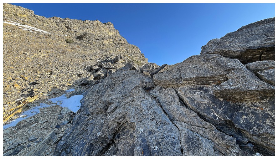
Beautiful rock on the right side of the gully
At the top, looking south to Drywood Mountain
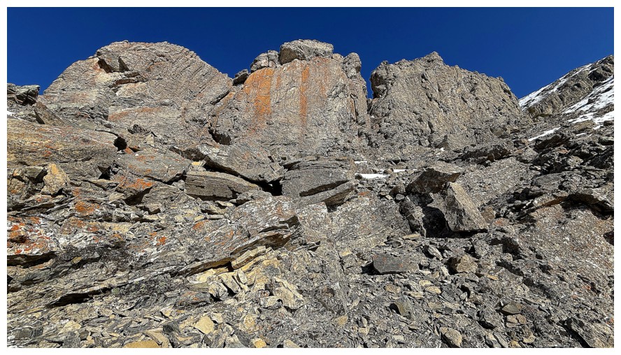
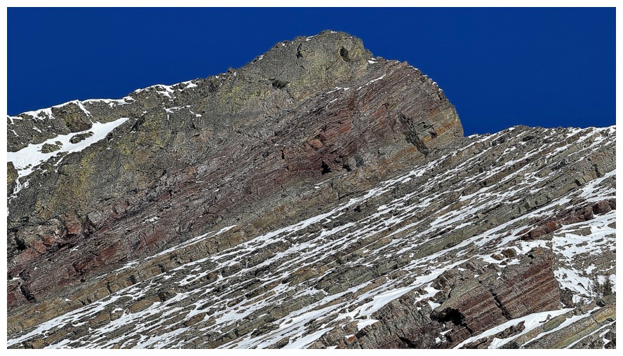
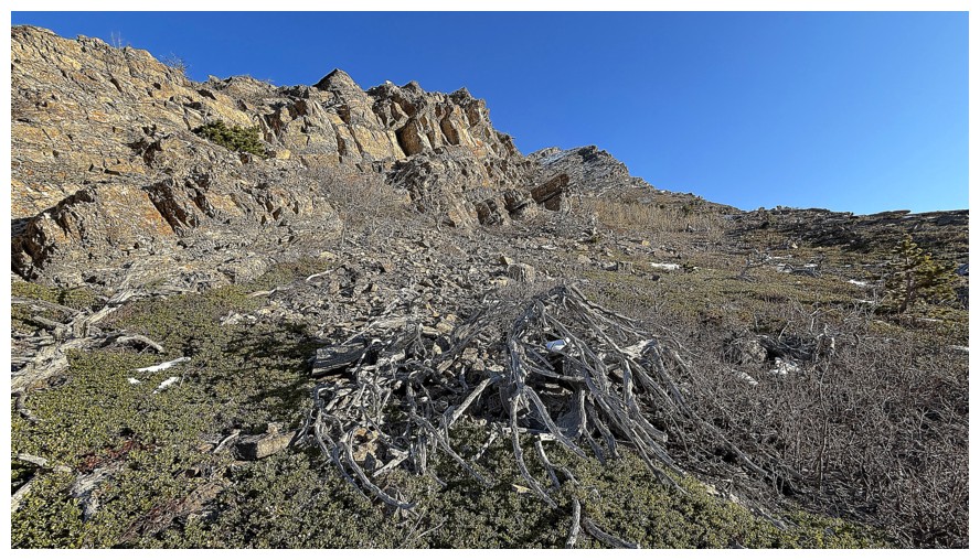
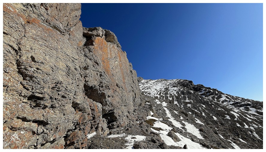
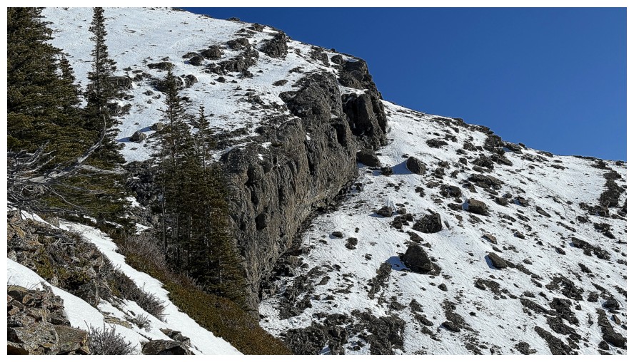
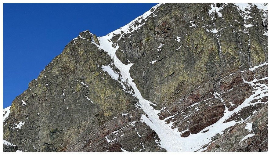
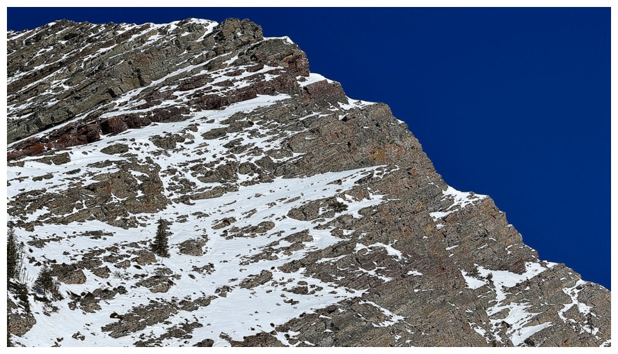
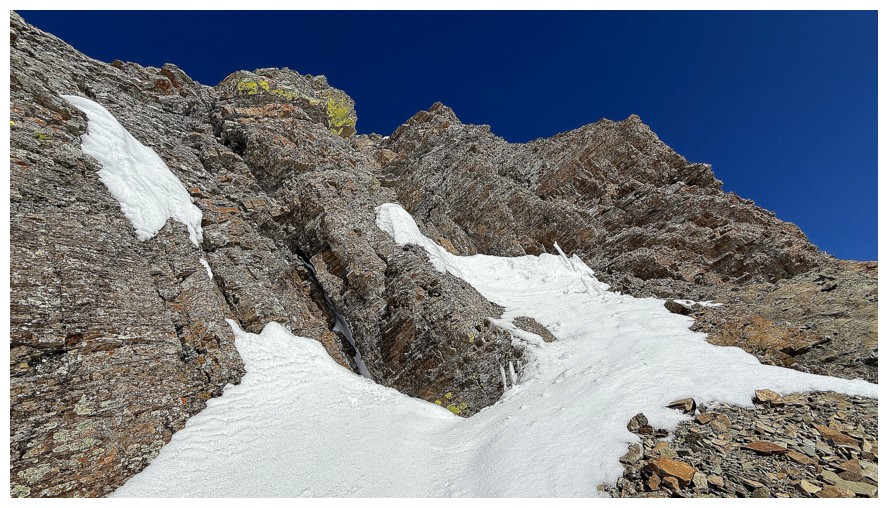
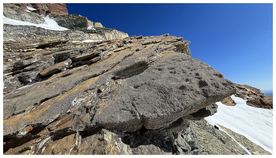
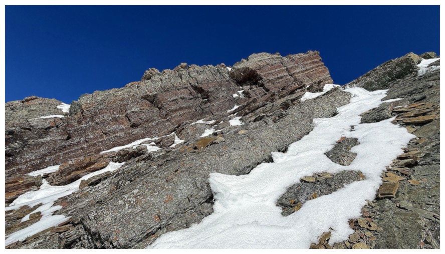
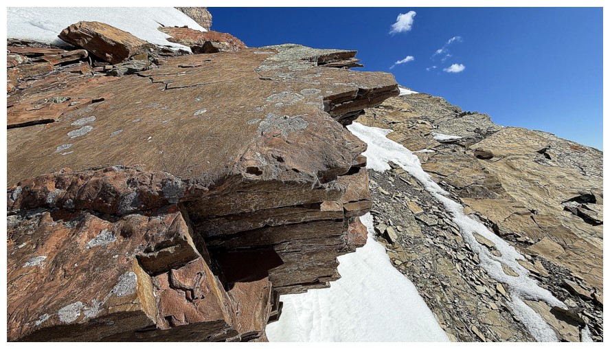
The spectacular lichen-covered limestone rock band
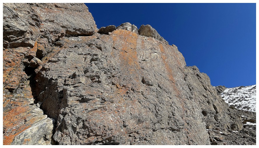
Up close
Following the wall to the east would have been cool, however, I couldn't see any weaknesses in it
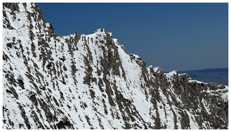
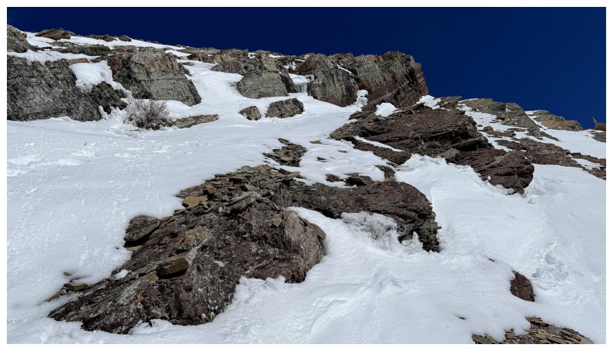
Thankfully the daunting rock band to the east, petered out completely to the west
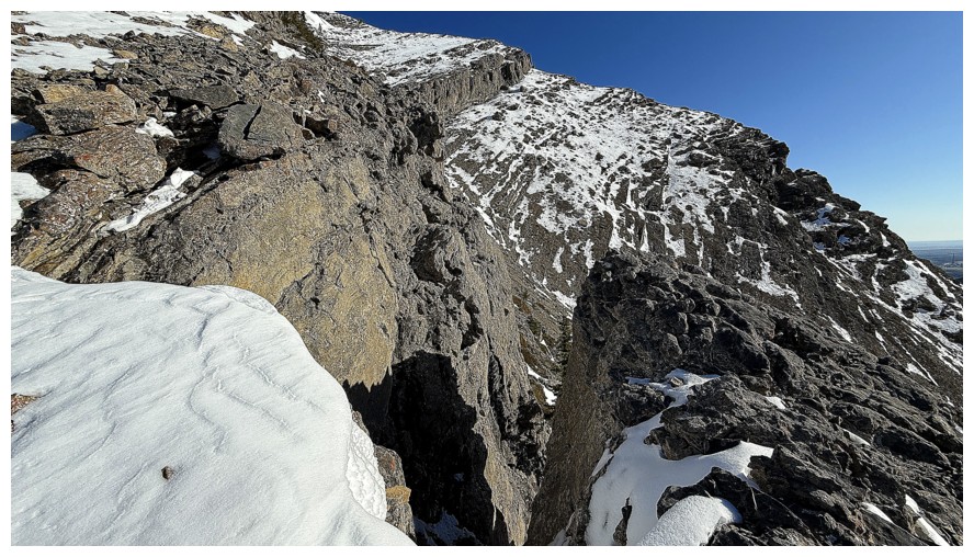
The east and that daunting rock band
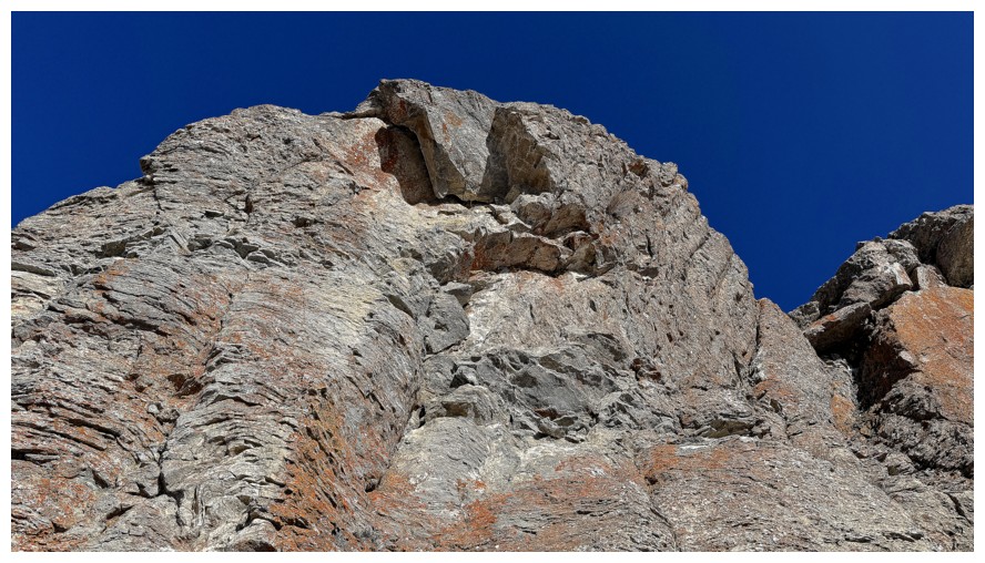
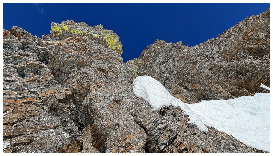
Finding a route up to the ridge
Close-up of the band that would have stopped progress had I continued up the east side
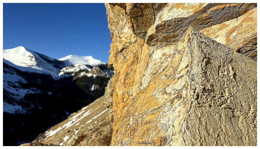
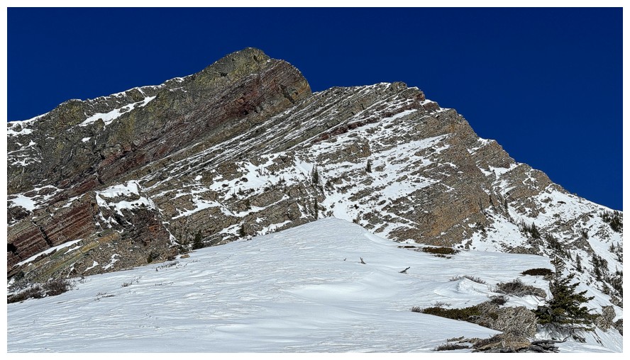
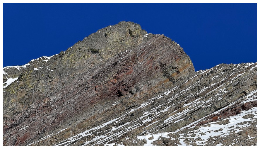
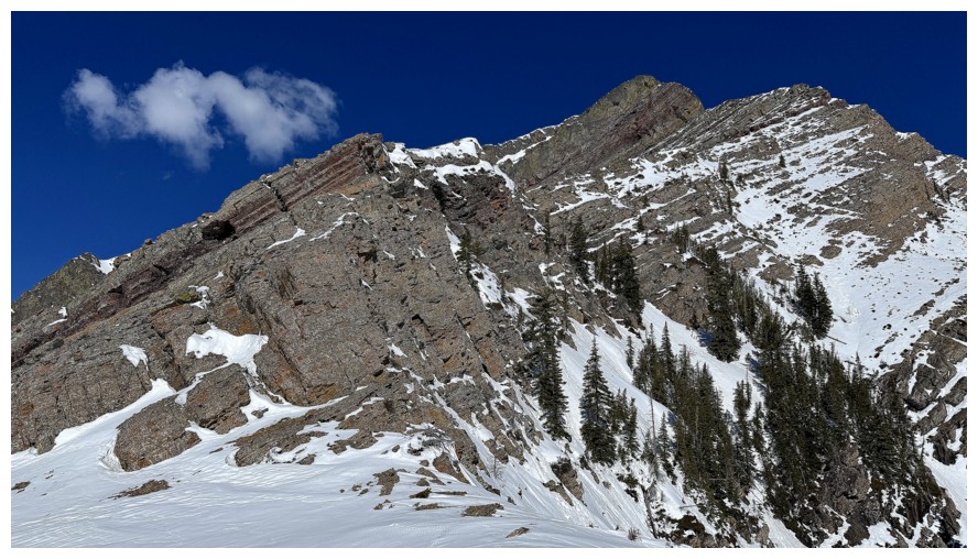
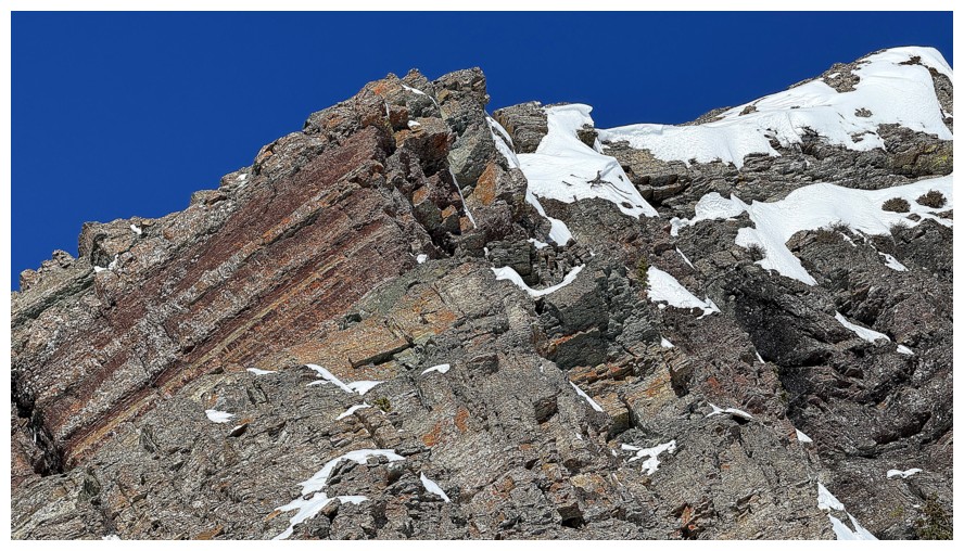
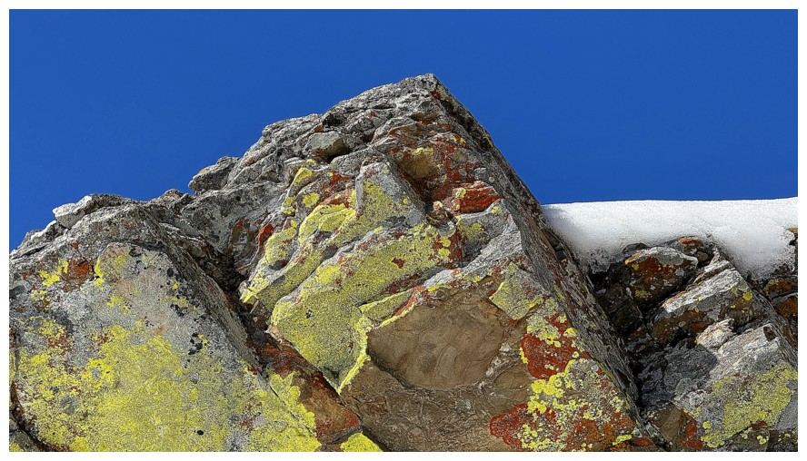
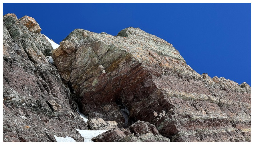
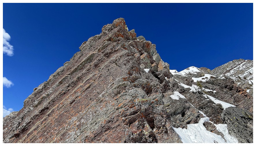
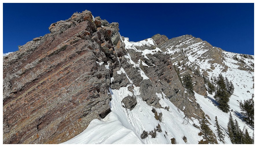
The Southwest summit of Pincher Ridge is home to a massive vertical wall of red argillite
Close-up of the wall
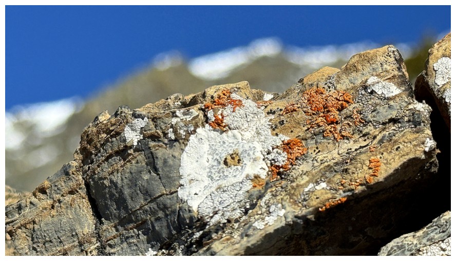
Close-up of some nearby rock and lichen
Looking longingly at The Gasser Outlier we failed to reach earlier in the year. A another attempt in spring or summer is planned.
Close-up of the outlier, in the foreground
Close-up of the southwest summit of Drywood
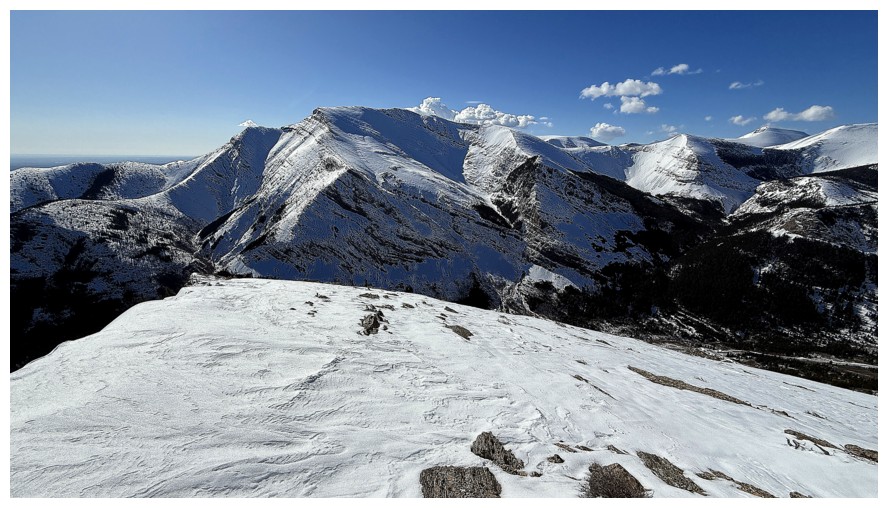
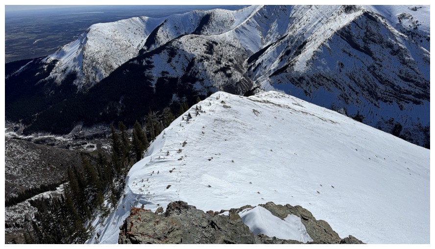
The south ridge of Pincher Ridge in the background
A view of the route ahead. The goal was to get to the base of the
summit block and then descend alongside it. However, I stopped near the
rock band at the right.
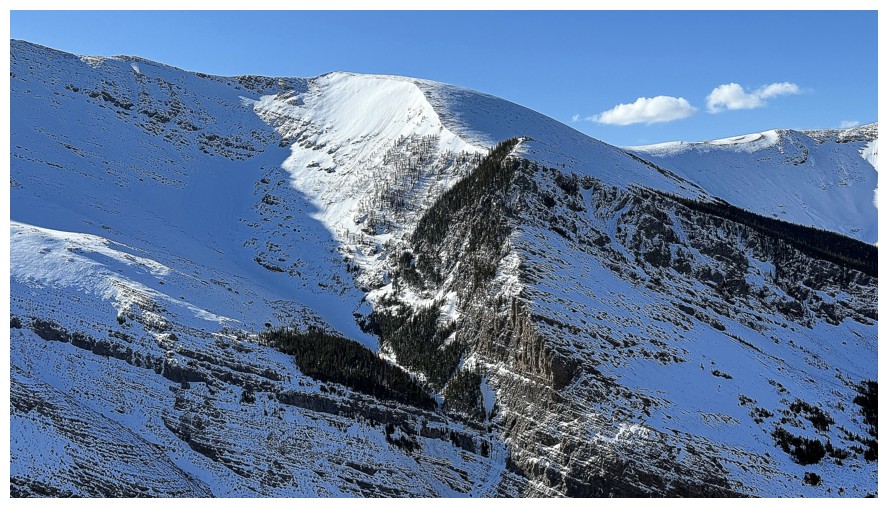
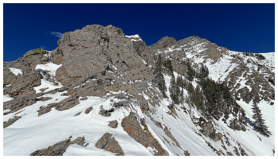
The challenging east ridge of Pincher - 20 years have passed since we ascended that one
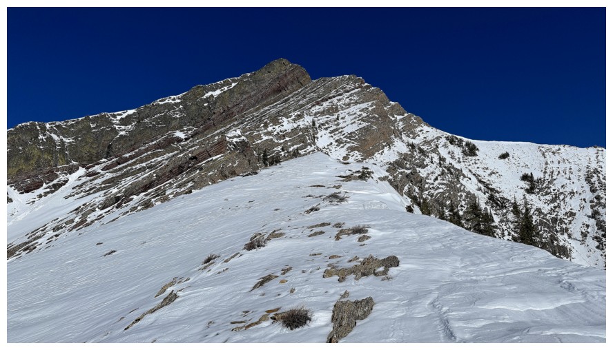
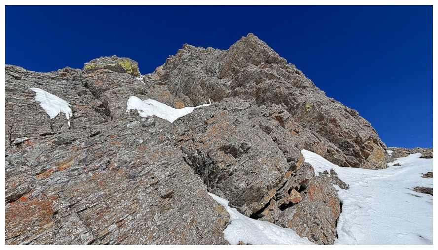
On the upper ridge and heading towards the summit block
Drywood again
A cool highpoint on the east ridge on Pincher that we call "The Stirrup"
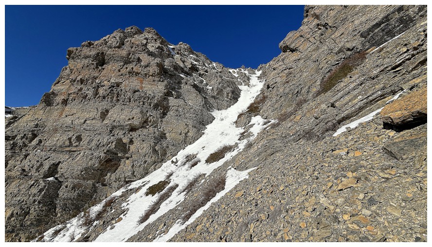
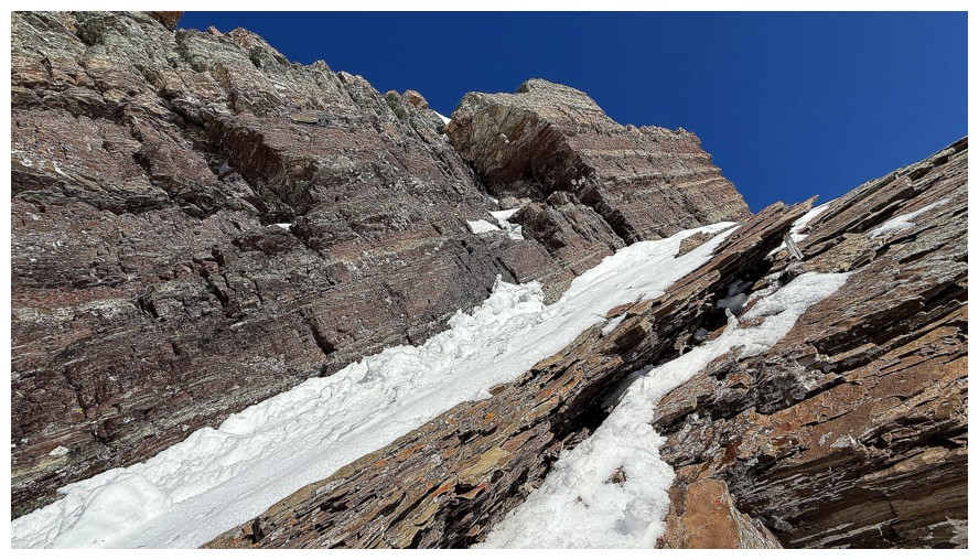
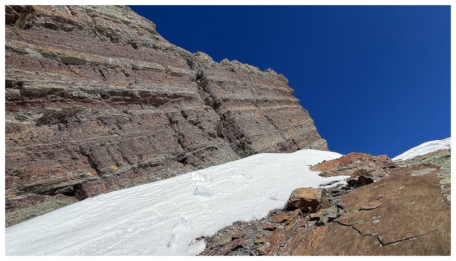
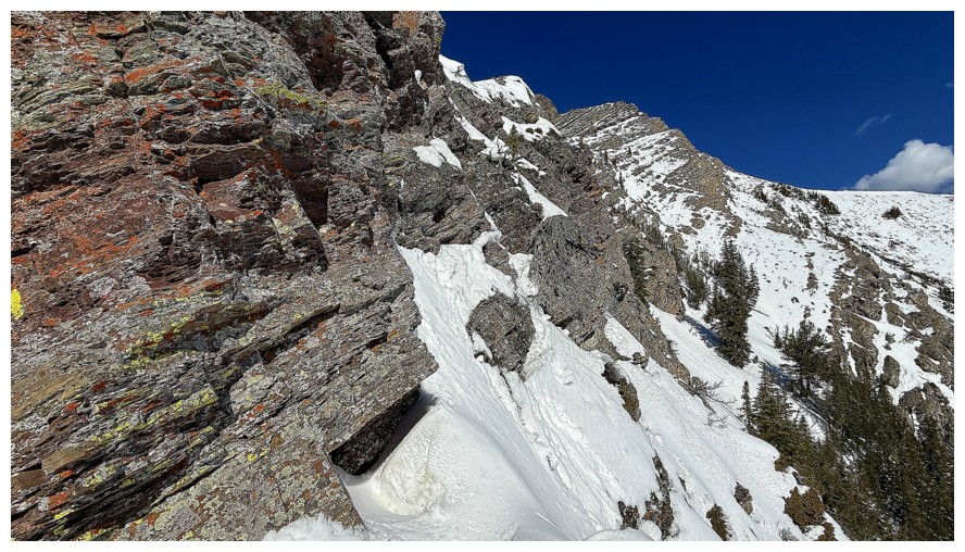
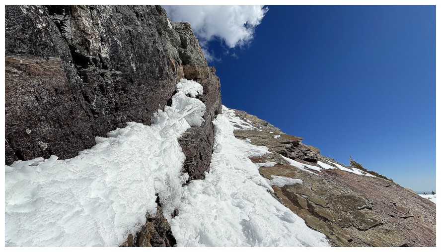
The snow-filled gully makes for a great ascent or descent line through the rock band, however I wouldn't go near it when snow-filled.
Close-up of the gully
Nearing a good spot to take a break and consider options
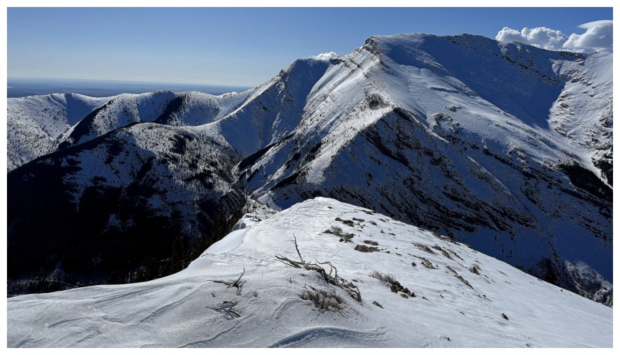
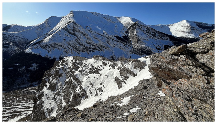
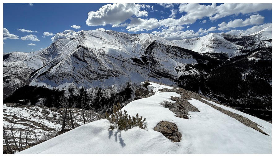
Bridle Peak and Cinch Hill at the end of Pincher Ridge
A "no-go" zone, due to the cornice overhanging the ridge
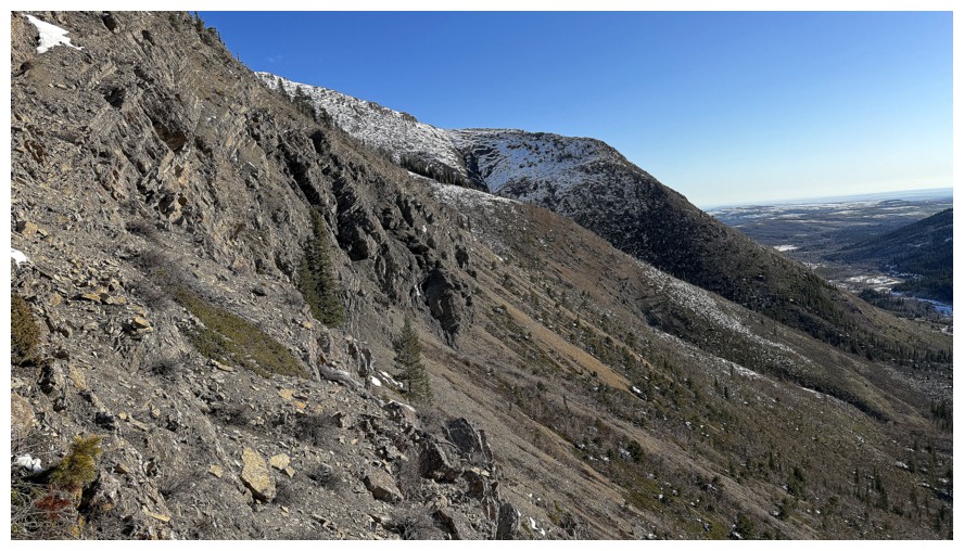
A portion of the terrific east ridge
Unfortunately, there's no direct scramble route to the summit via the upper east ridge
The summit of Loaf Mountain appears between Redwood and the Southwest summit of Drywood
Closer look at the upper part of the route I used for my 8th ascent of Drywood Mountain
Lunchtime here
A very alluring rock band nearby
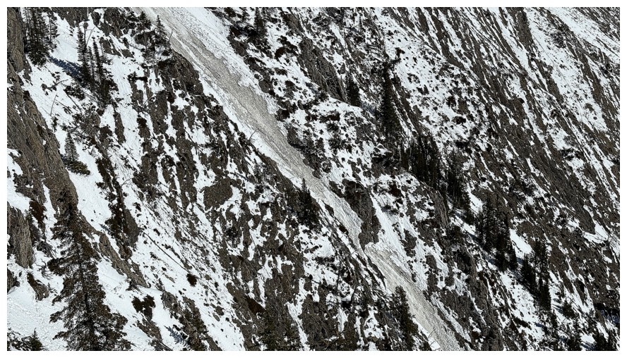
Dirty snow and and avalanche path near the east ridge
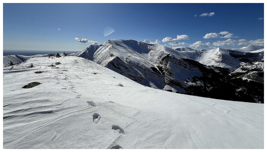
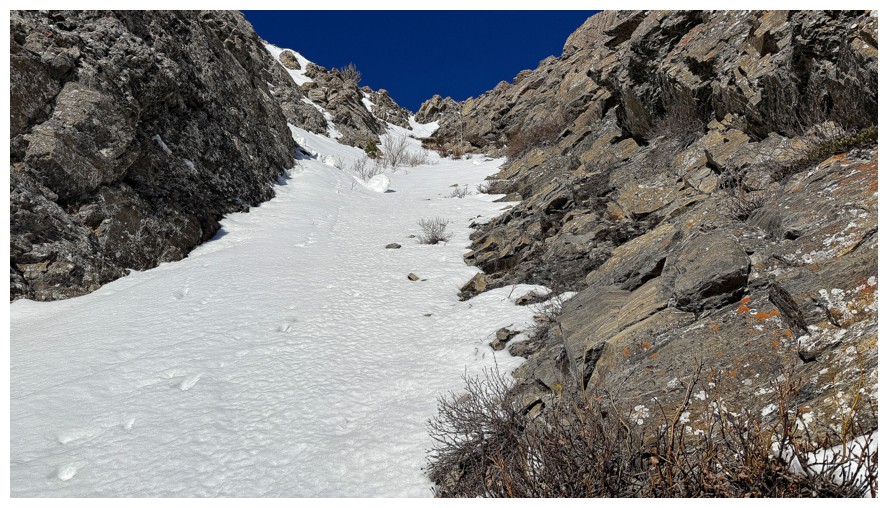
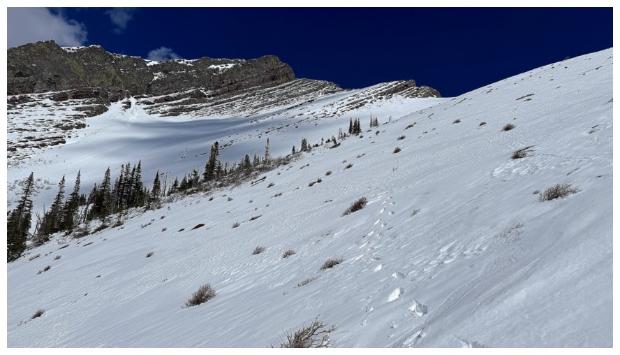
My crooked footseps
Onward
Had to detour around the first rock band, but the scenery was worth it
Specifically, the top part near the left, covered in yellow and orange lichen
Close-up
Not so close
Another one
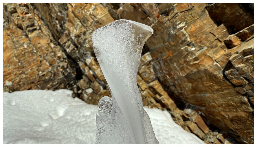
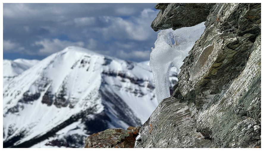
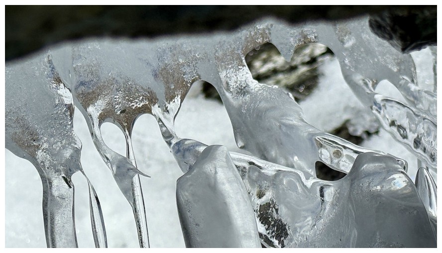
Time to be distracted by a small ice formation
It yielded a few interesting shots, but nothing like those from Raptor III

Heading up to the ridge again, to check out that alluring rock band
This one was equally alluring
Neat section of slabby, fractured rock
Continuing up. This section was quite steep, and I put on the crampons and used an ice axe.
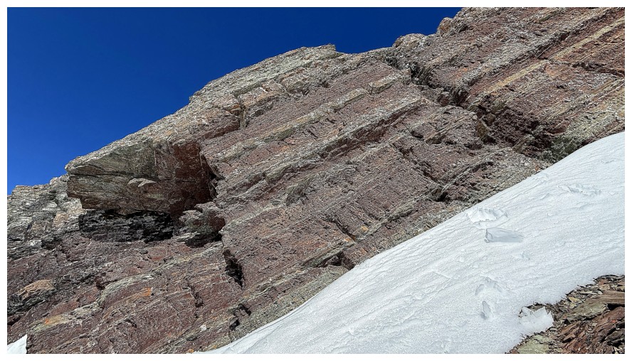
Good representation of the angle
Approaching the end of the rock band
A cornice sits at the end and prevented further progress
Looking down the route I just came up
No scramble route up the band
And definitely no route around the right side
Looking down to my lunch break spot
The right side again
The top of the rock band is another lichen winner
Descending
Looking for a weakness in the rock band lower down
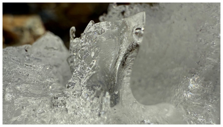
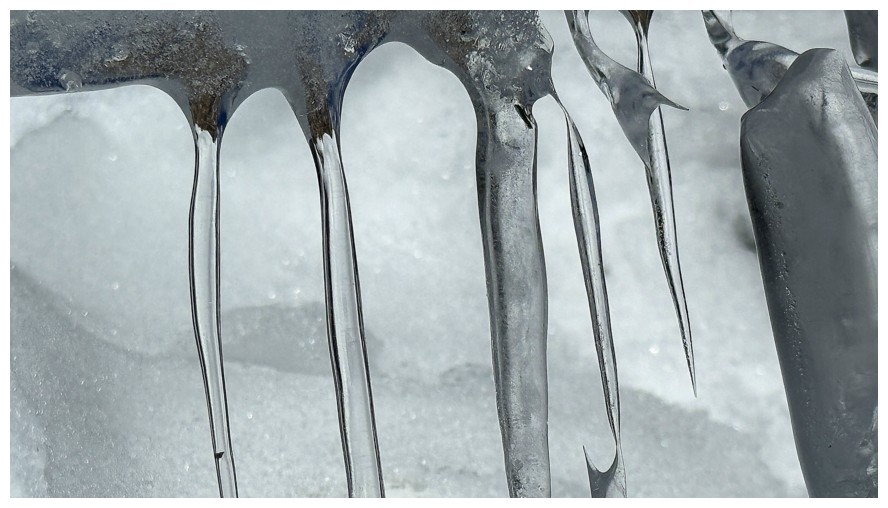
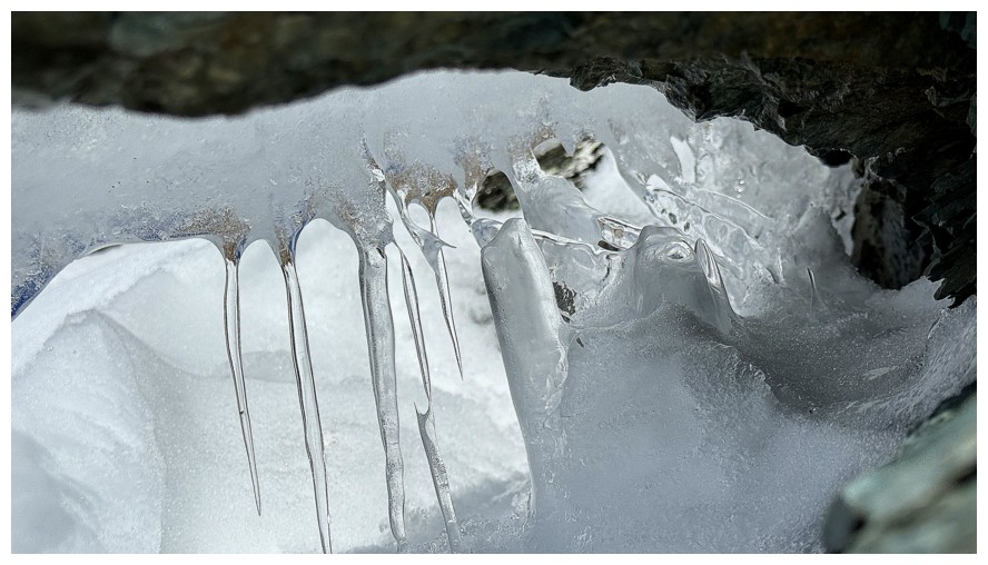
Another ice encounter
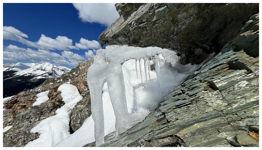
This one was a little more satisfying
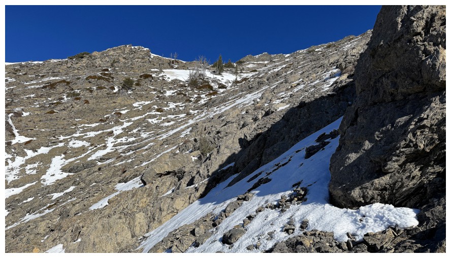
Looking back up the route, after deciding that continuing up was too risky
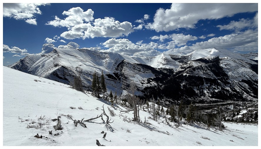
Heading for safer slopes, as the clouds start to build
Another look back
Following a different ridge down
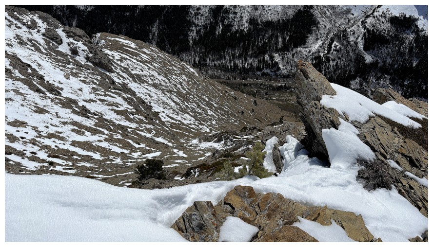
The intended ascent route far below
Last look at where I was (right side) and where I didn't feel safe going (centre)
Back on the approach road
The Gasser Outlier (just right of centre) and Drywood
The End of Part I
Click HERE to continue to Part II of the day
LOG