Prairie
Bluff XXI
February 13, 2026
Mountain height: 2258 m
Total elevation gain: approximately 750 m
Ascent time: 3:10
Descent time: 1:35
Solo scramble.
Two ascents of
Prairie Bluff already and we are only 44 days into the calendar year?! That means
Prairie Bluff XXIX.3 (29.3 for those who are not on friendly terms with Roman
numerals) could happen by year’s end!
Of course,
Prairie is one of my go-to mountains in Southern Alberta and is guaranteed to
satisfy on good weather days and bad ones alike. 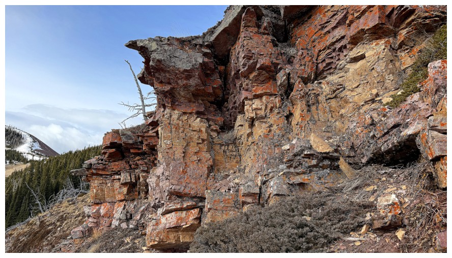 Friday the 13th,
2026 looked as though it could go either way. En route to the Drywood Falls
trailhead, the previous day, I has stopped to photograph the surprisingly open
waters of Butcher Lake and that visit reminded me of a route up Prairie Bluff
that I had vowed to check out at some point. Only a small section of the route
would be new to me, however, it appeared to lead to a very striking and
colourful rock band, similar to the one I had seen on Prairie Bluff VI. I also wanted to get a look at a serious
mountaineering route Brad and Dave had completed a year earlier on the
northeast side of Prairie Fire. Of course, I had no intention of attempting the
route as a solo traveller.
Friday the 13th,
2026 looked as though it could go either way. En route to the Drywood Falls
trailhead, the previous day, I has stopped to photograph the surprisingly open
waters of Butcher Lake and that visit reminded me of a route up Prairie Bluff
that I had vowed to check out at some point. Only a small section of the route
would be new to me, however, it appeared to lead to a very striking and
colourful rock band, similar to the one I had seen on Prairie Bluff VI. I also wanted to get a look at a serious
mountaineering route Brad and Dave had completed a year earlier on the
northeast side of Prairie Fire. Of course, I had no intention of attempting the
route as a solo traveller.
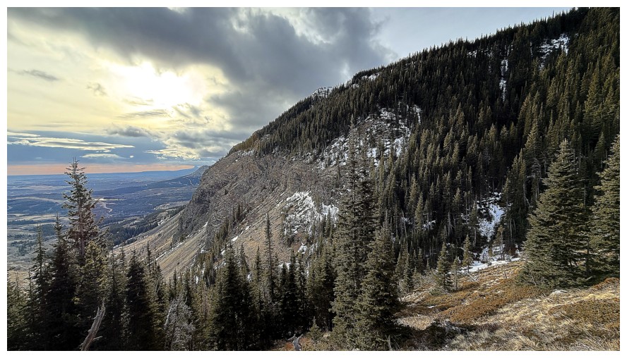
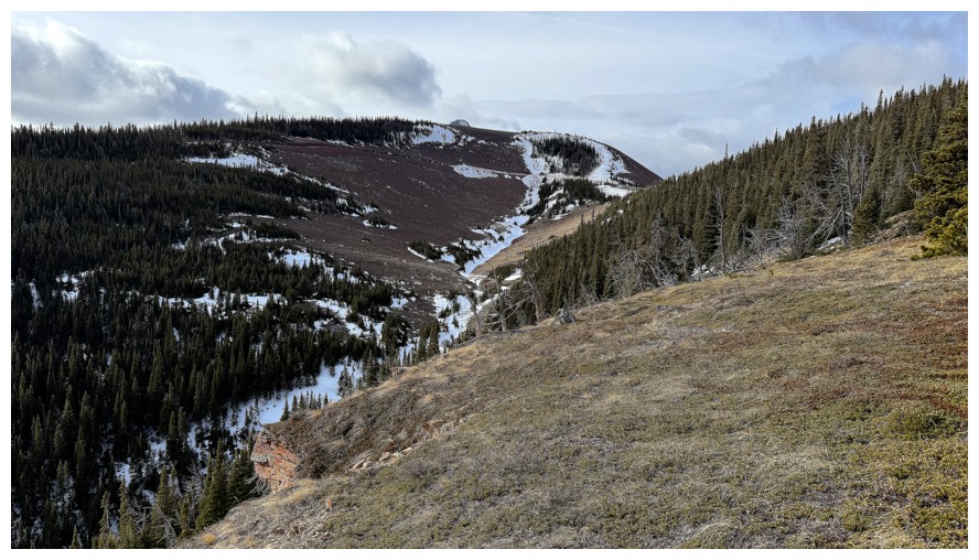
Starting from a
now very familiar trailhead, I hiked easily into the scenic valley between
Bluff and Fire. 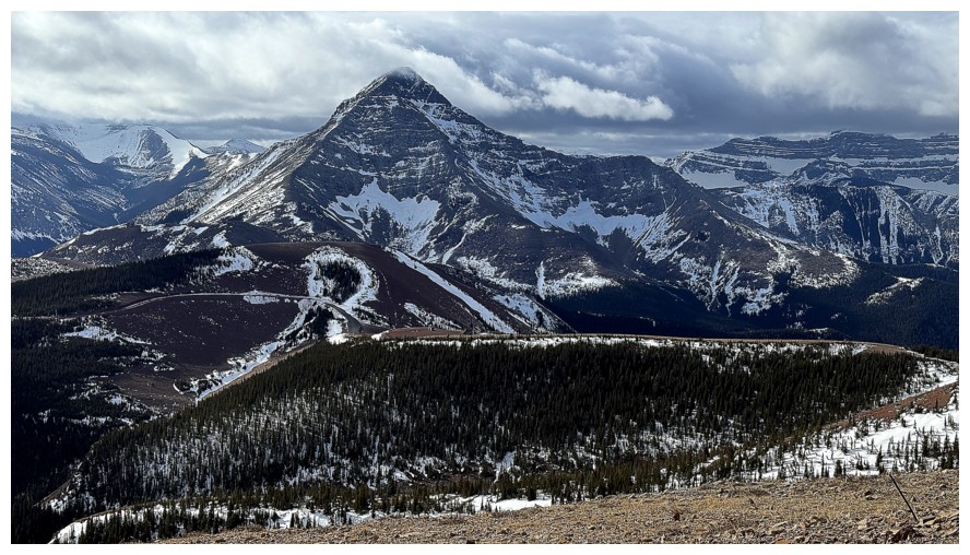 Although I didn’t get right up to the Brad/Dave route it looked
entertaining and fierce from afar – nicely done Boys! The route I was taking
for the day was far more subdued, but as usual, featured wonderful scenery and
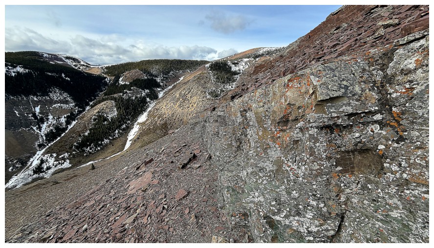
enjoyable travel. I eventually worked my way up to the striking rock band and
striking it was! Unfortunately, the sky refused to become that captivating true
blue we all long for, but it was good enough to warrant an extended stay and
exploration of the band. Above the rock, I took a more or less direct line to
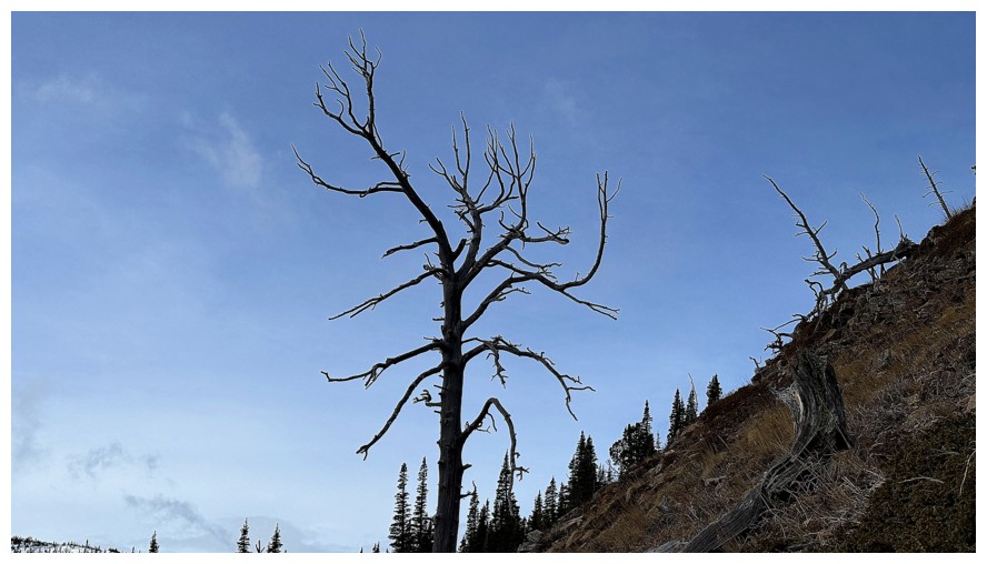
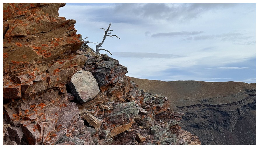
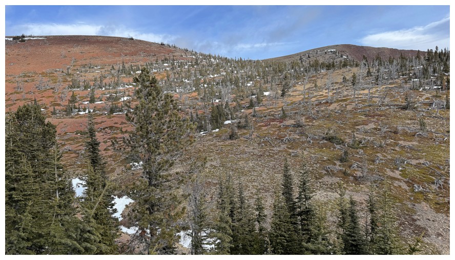
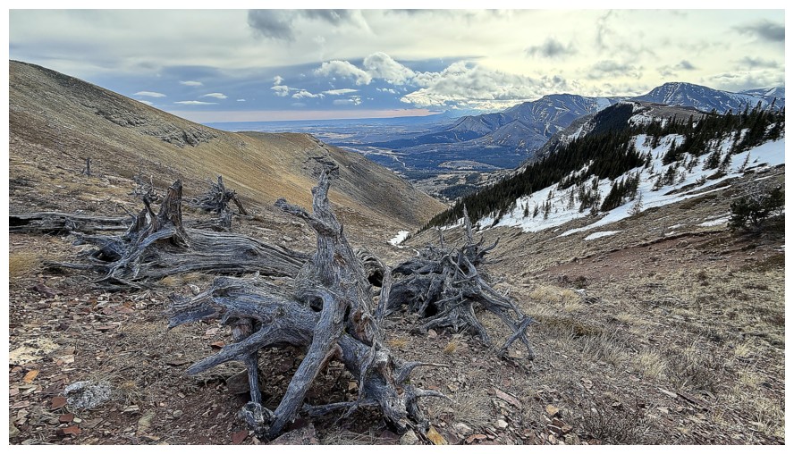
the summit of Bluff, this time awed by the remains of numerous dead trees.
Although I didn’t get right up to the Brad/Dave route it looked
entertaining and fierce from afar – nicely done Boys! The route I was taking
for the day was far more subdued, but as usual, featured wonderful scenery and
enjoyable travel. I eventually worked my way up to the striking rock band and
striking it was! Unfortunately, the sky refused to become that captivating true
blue we all long for, but it was good enough to warrant an extended stay and
exploration of the band. Above the rock, I took a more or less direct line to
the summit of Bluff, this time awed by the remains of numerous dead trees.
A very brief
summit stay preceded a thoroughly enjoyable descent down the south ridge of the
mountain. This route is easy and wonderfully scenic, boasting terrific rock
scenery throughout. It’s also fast and even with an inordinate amount of
stopping time to take photos, I was back to my vehicle in just over an hour and
a half.
Another
fantastic day and satisfying route on one of my favourite mountains anywhere.
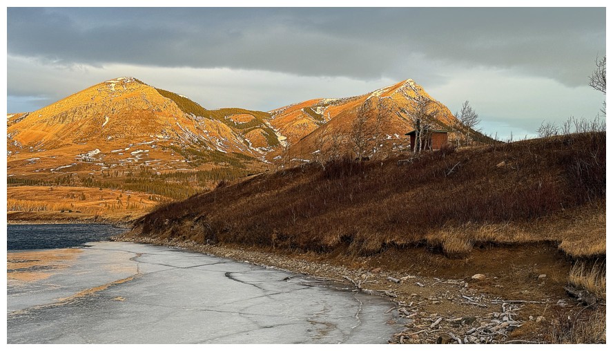
Checking out Butcher Lake and the south side of Prairie Bluff the day before.
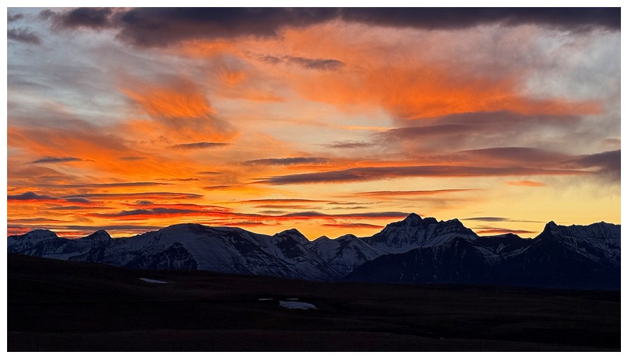
Nice Sunrise over Waterton the morning of
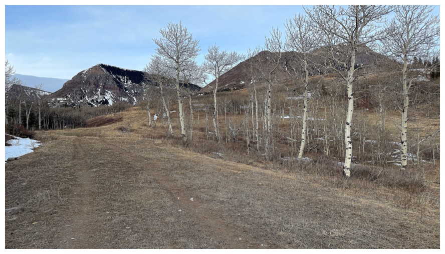
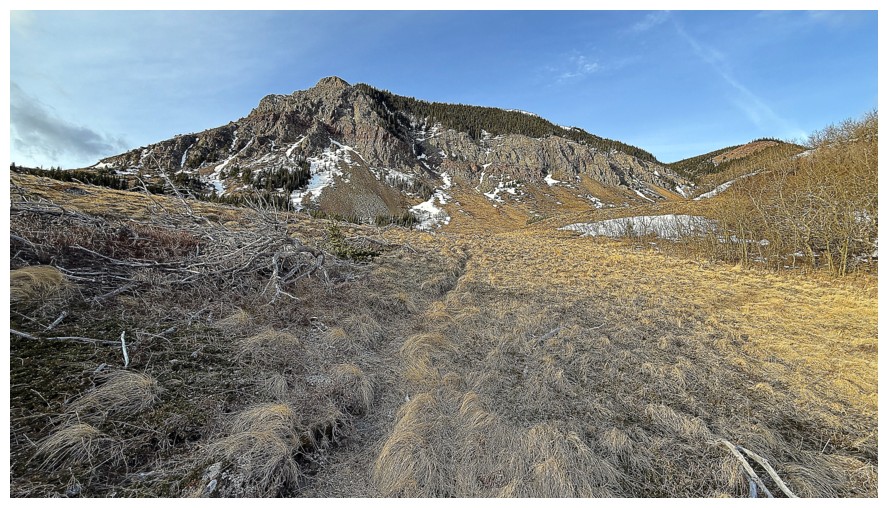
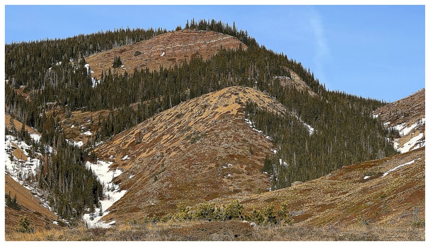
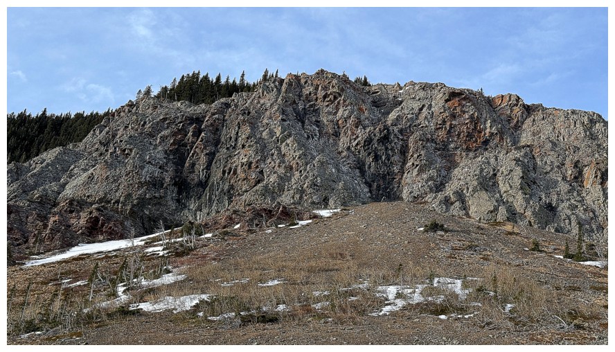
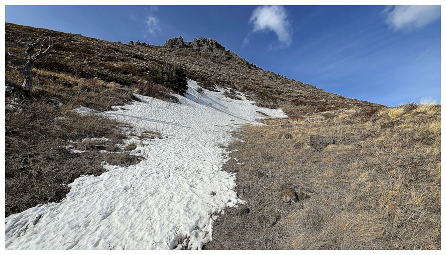
The approach to the southeast side of Bluff is an easy one, courtesy of this wide and easy-to-follow path
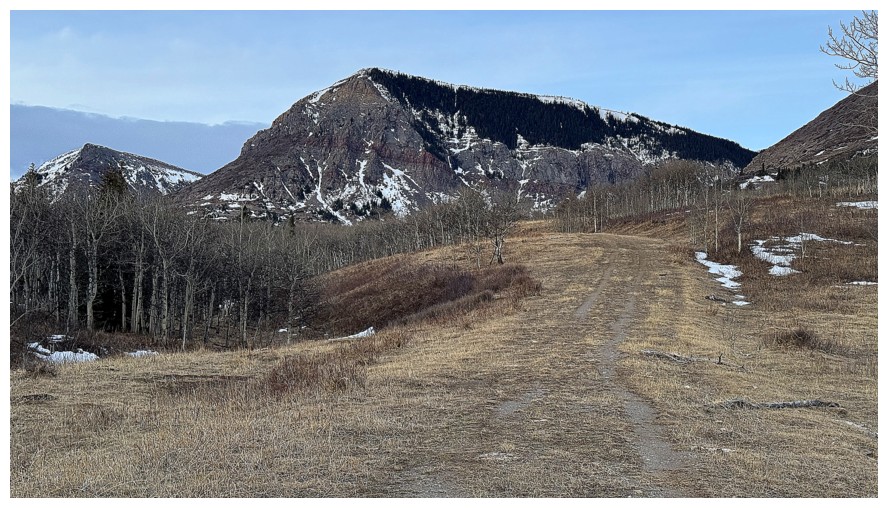
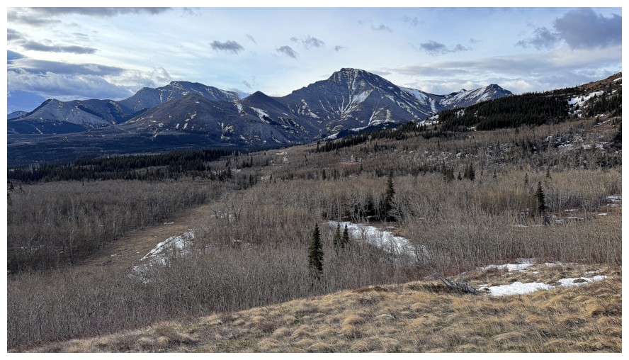
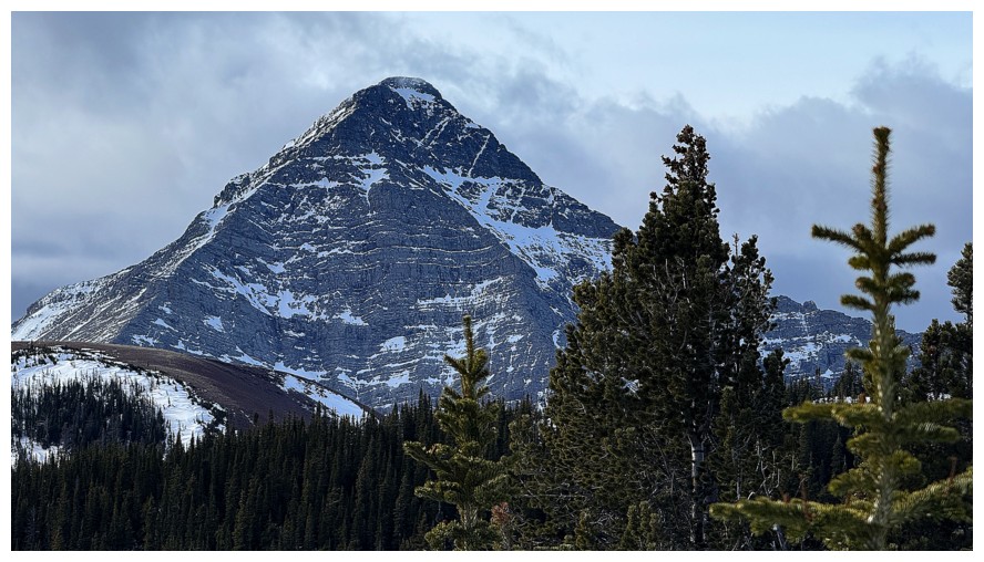
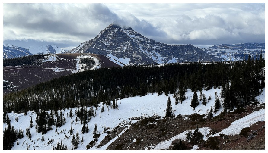
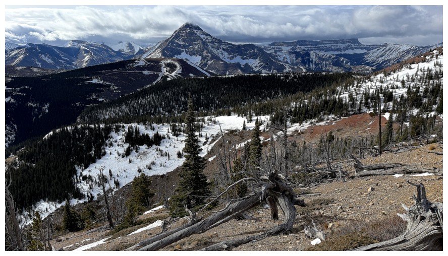
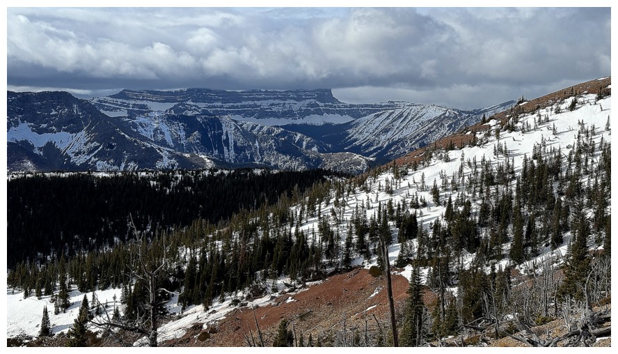
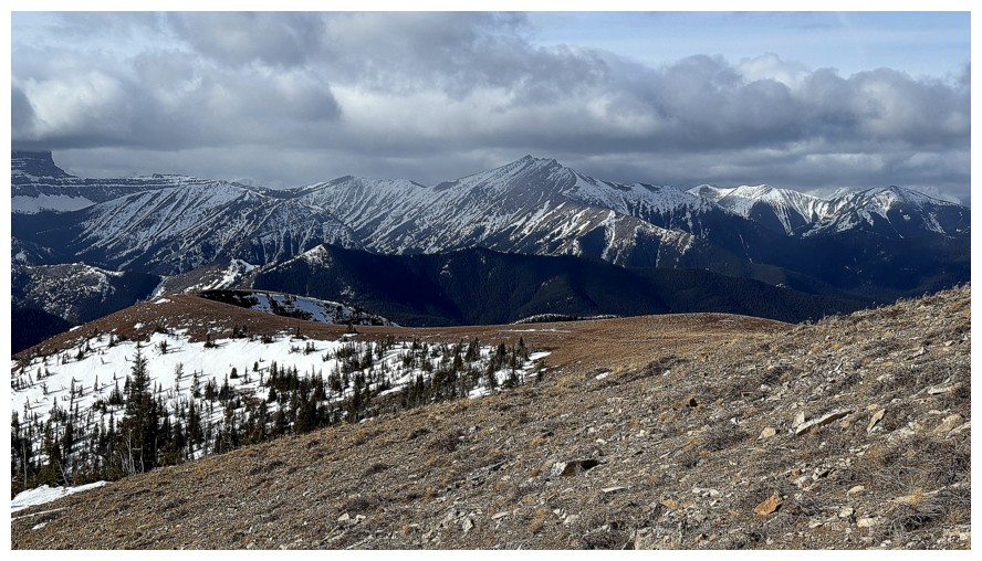
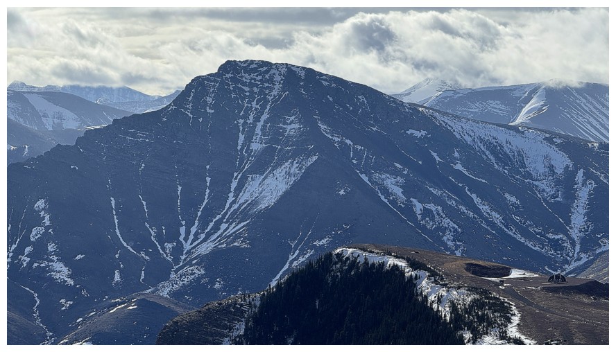
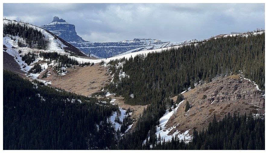
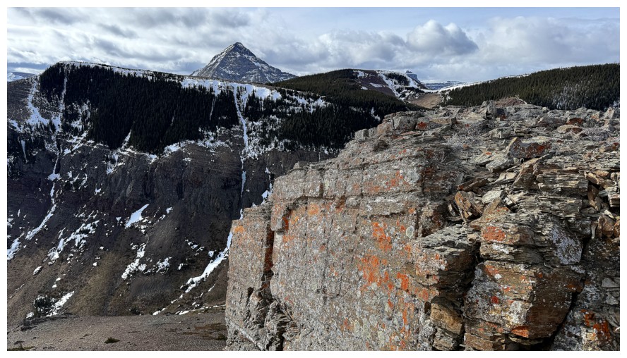
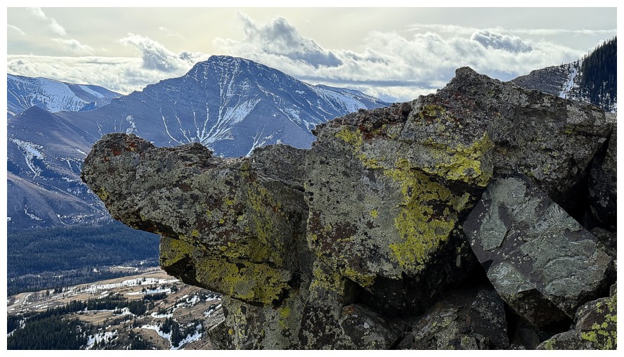
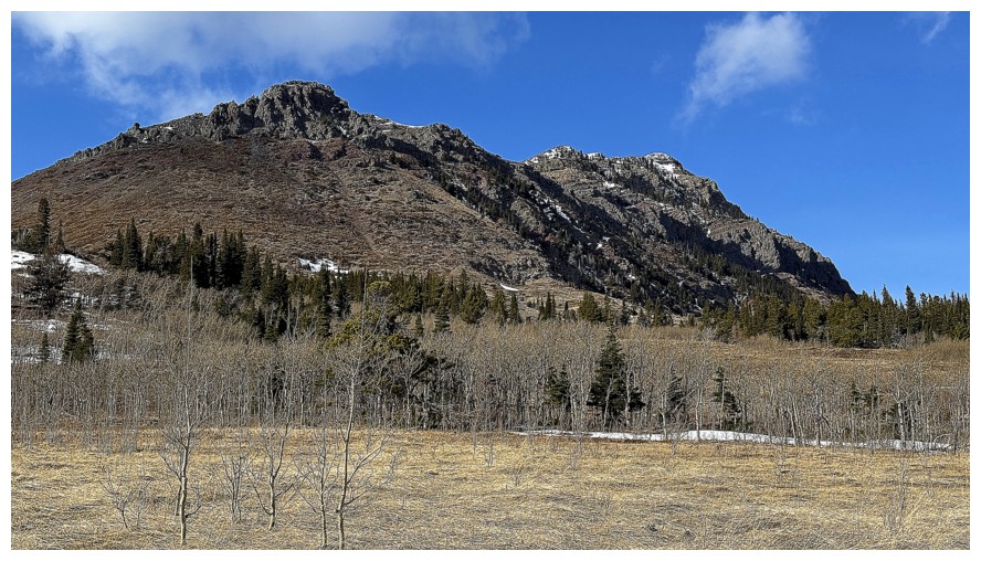
Prairie Fire (centre) and Prairie Sky (left)
Close-up of Prairie Fire. There are a few new routes I would like to
try on that one, including one near the left skyline. Brad and Dave's
mountaineering route sits near the right side.
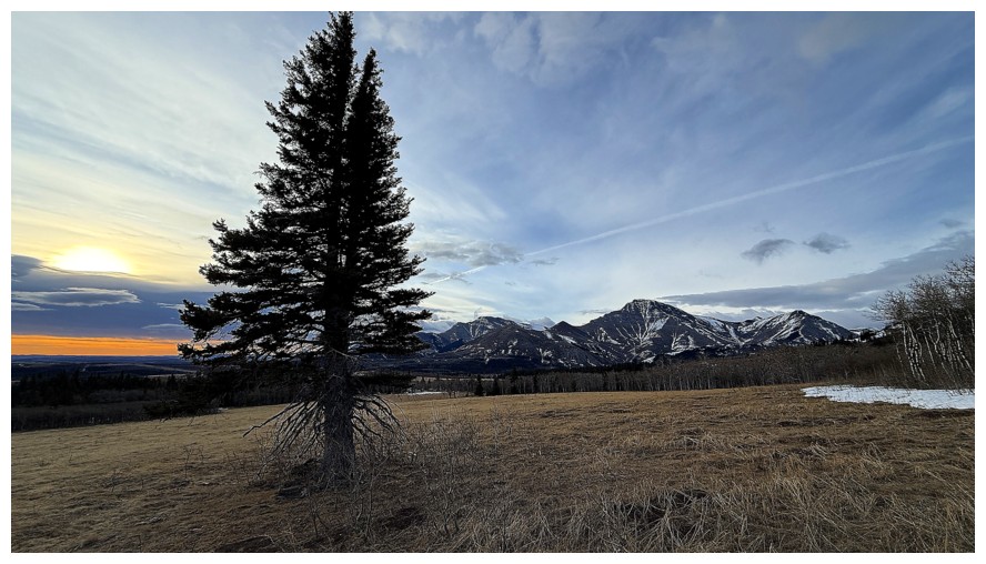
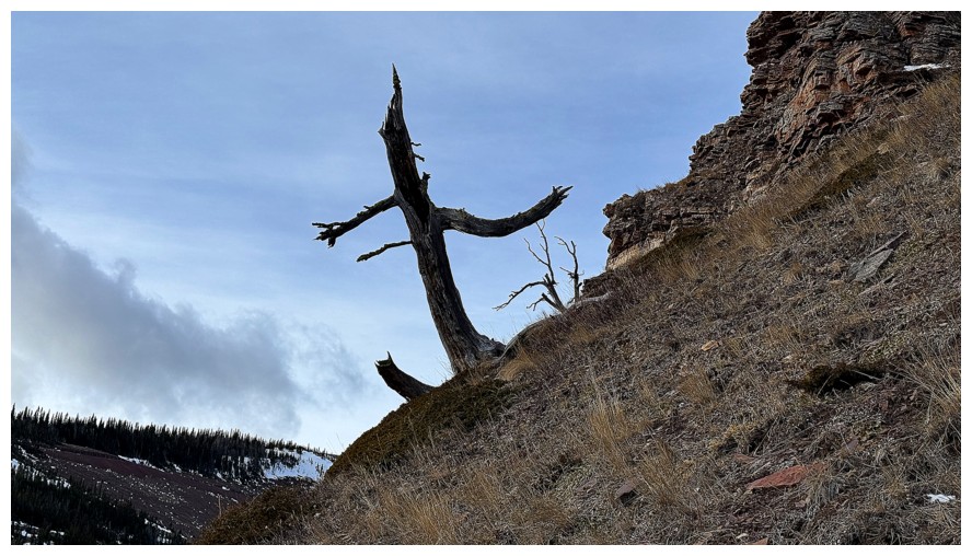
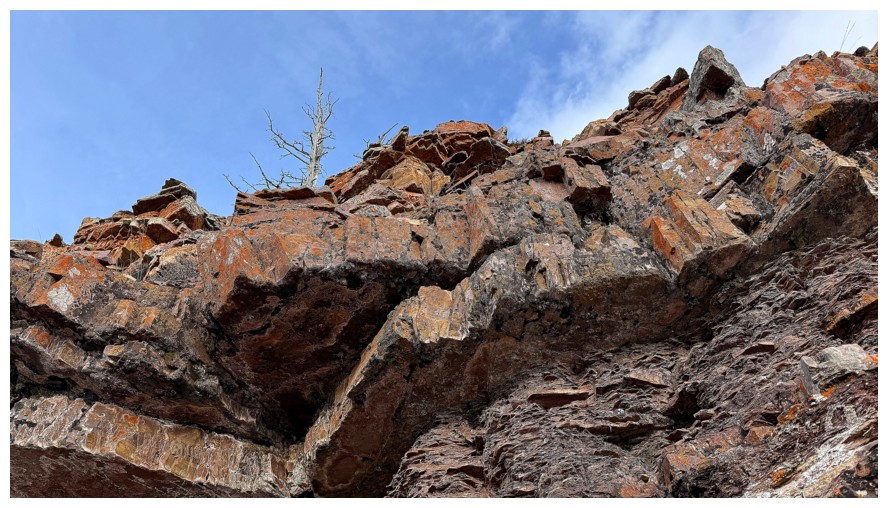
Lone tree
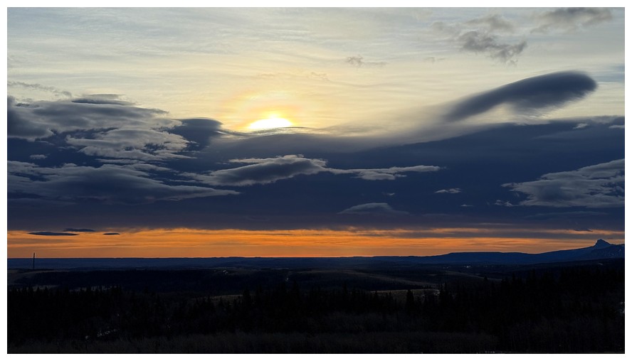
Interesting clouds to the southeast
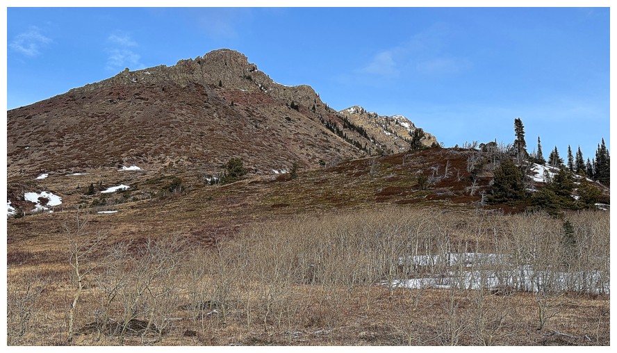
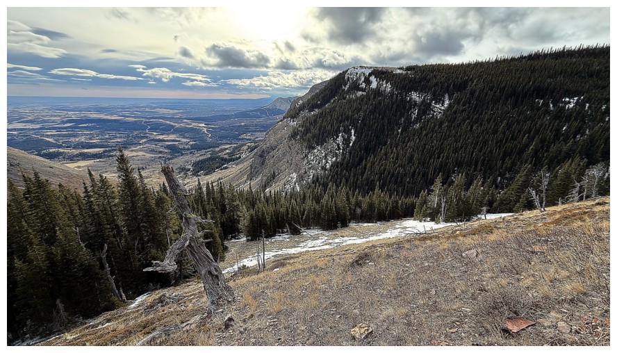
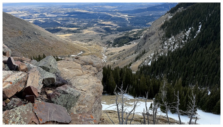
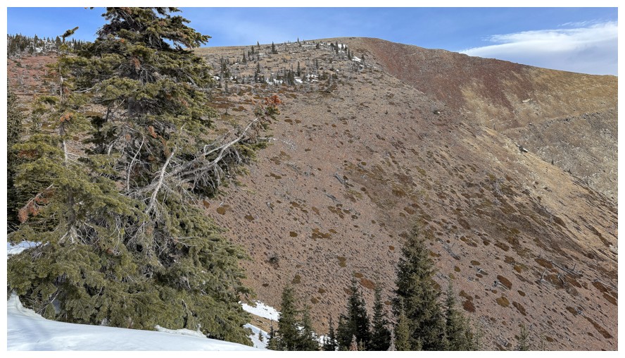
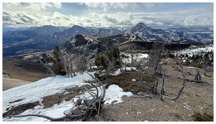
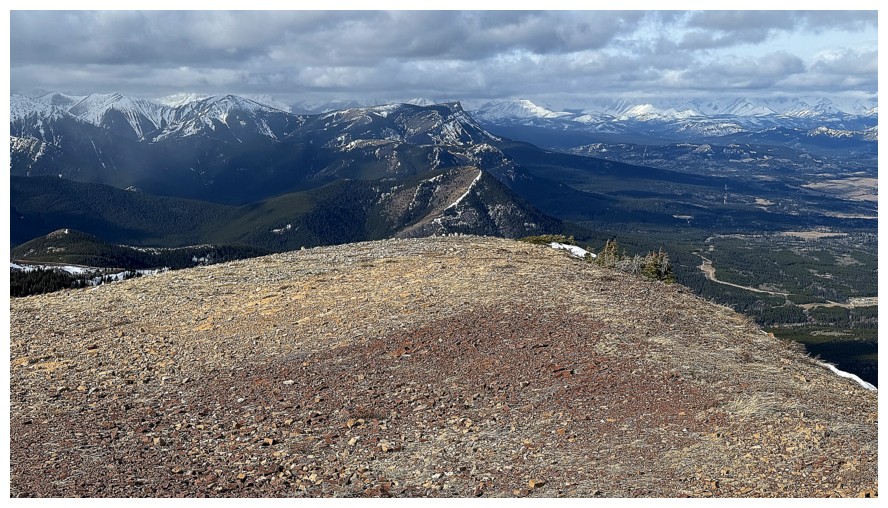
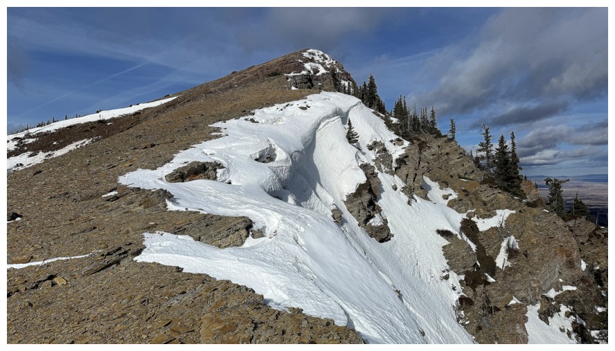
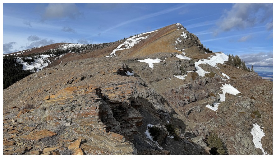
The wonderful south ridge of Prairie's true summit
The view to the south includes Pincher Ridge and many of its wonderful outliers
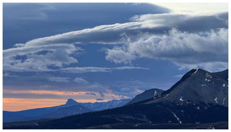
The moody skies to the south continue to provide interest
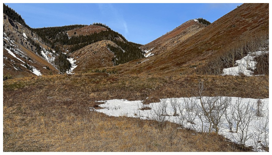
Almost to the valley between Fire and Bluff
Another look at some potential lines up Fire
The side of Fire where Brad and Dave made their ascent
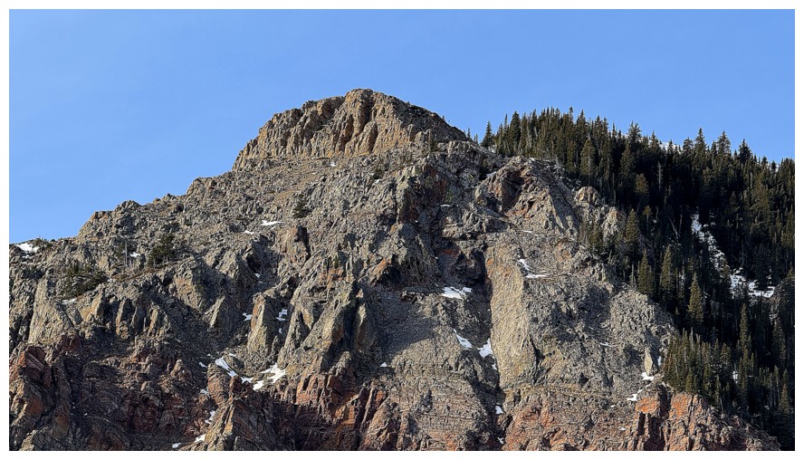
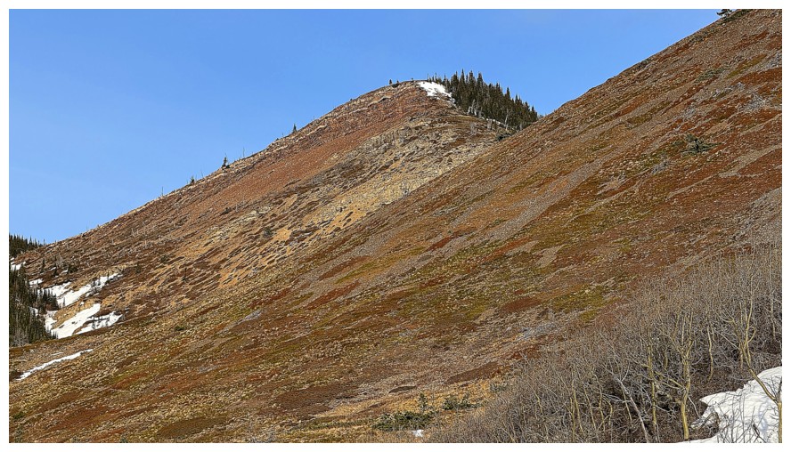
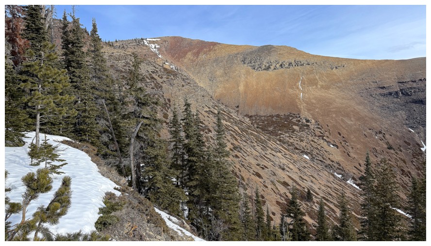
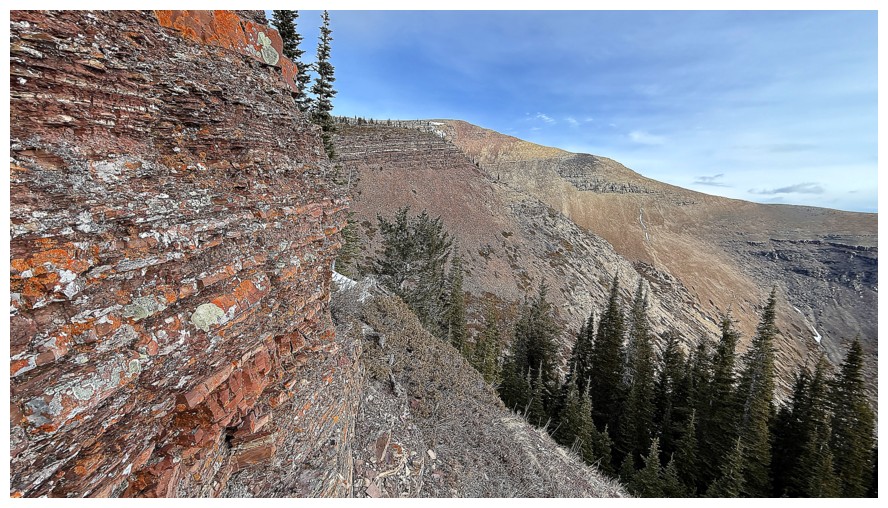
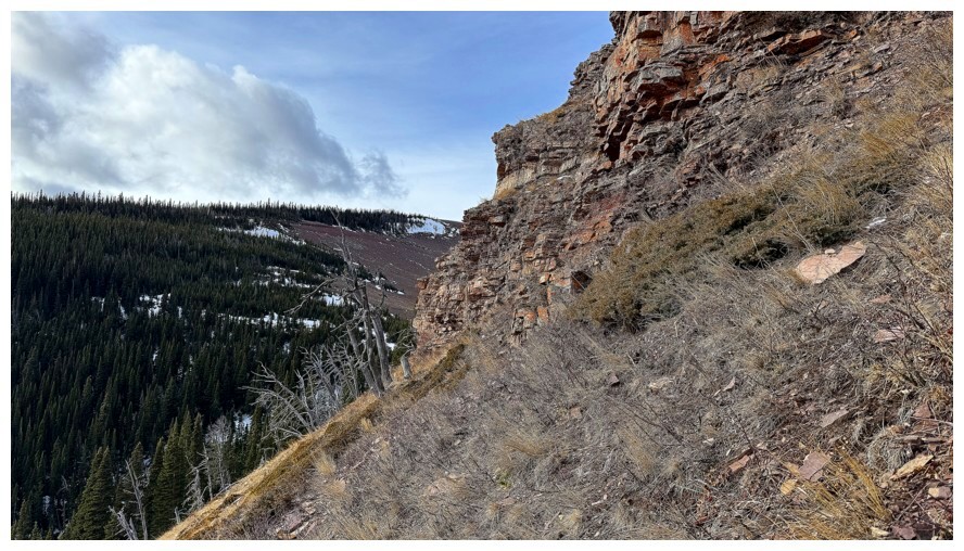
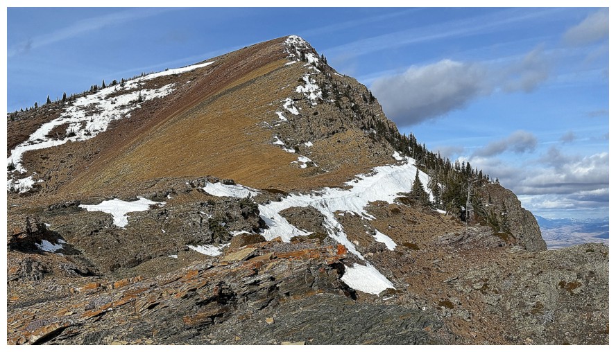
My intended route for the day goes up the gully near the left and to
the rock band above. I ascended the gully just right of centre in 2018.
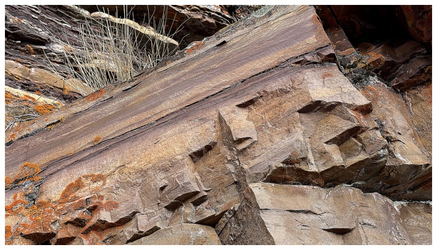
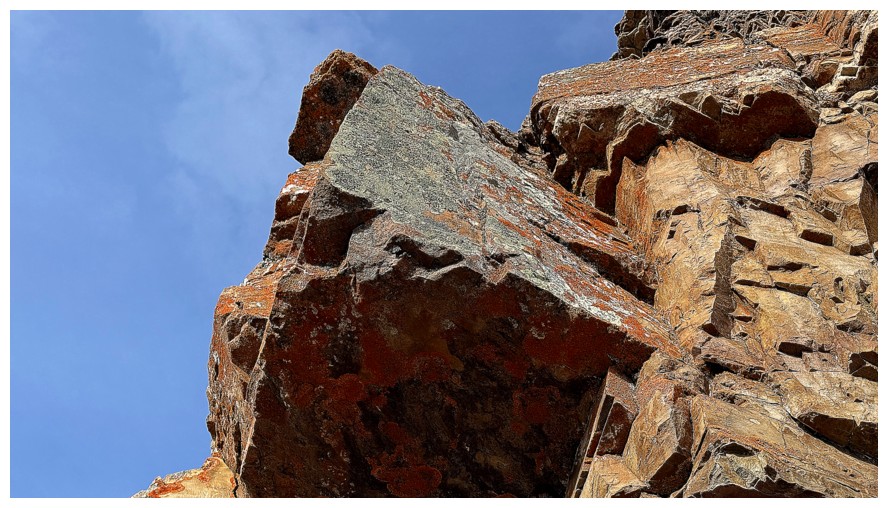
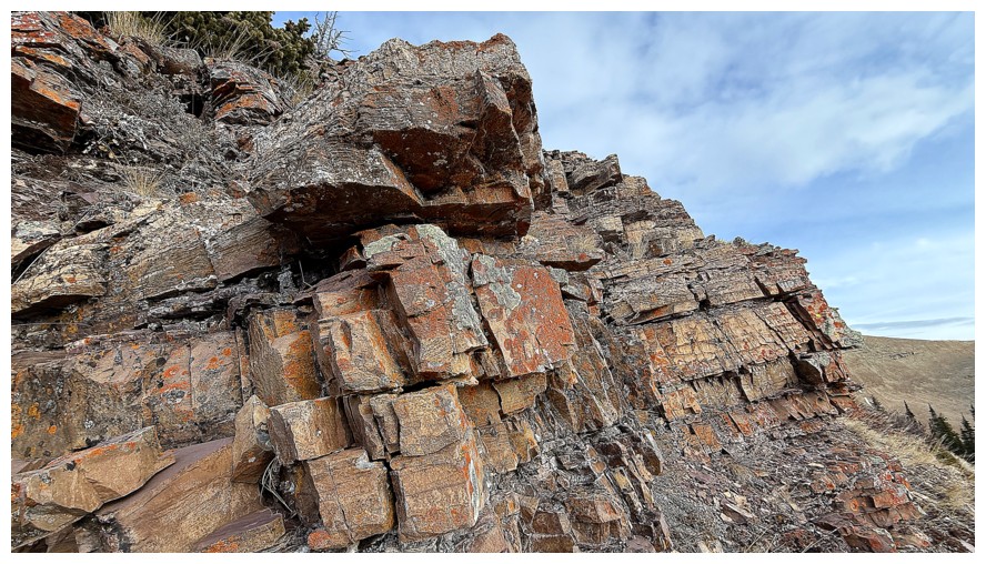
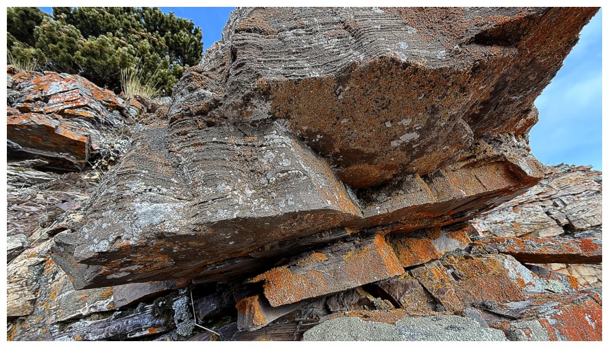
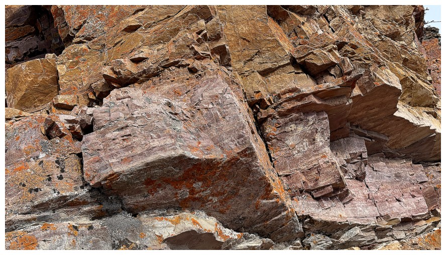
Close-up of the route and the rock band
The 2018 rock band
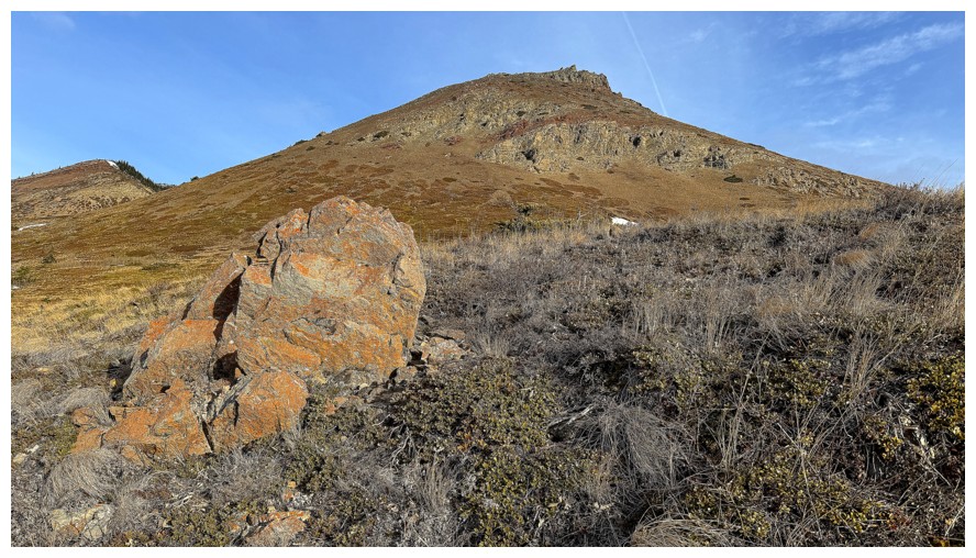
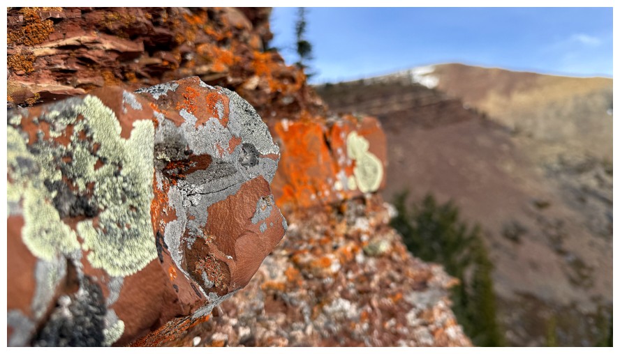
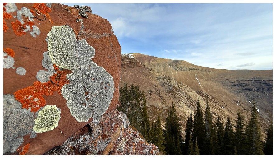
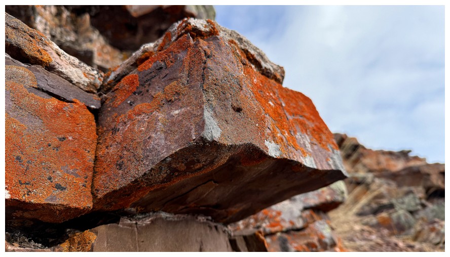
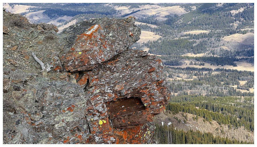
The first of many lichen-covered rocks
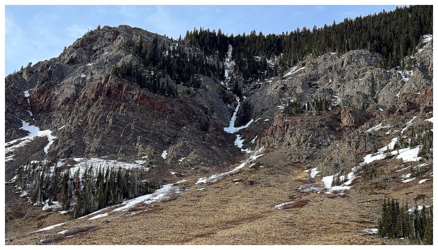
There sits Brad and Dave's route, right up the snow/ice gully in the centre
The walls of steep rock further north of their route
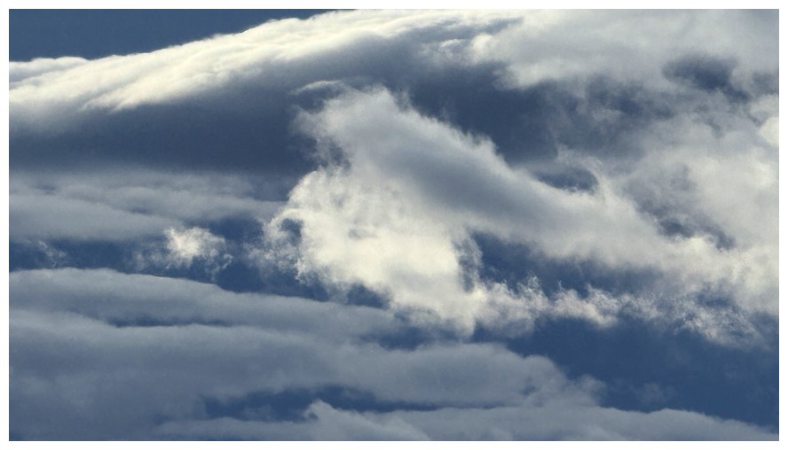
Back to the moody skies
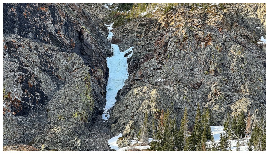
Another potential ice climb
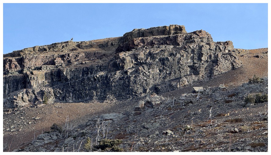
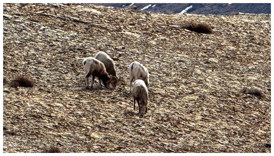
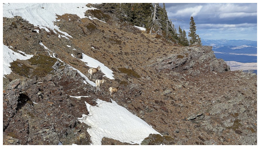
Someone is on Prairie's south ridge
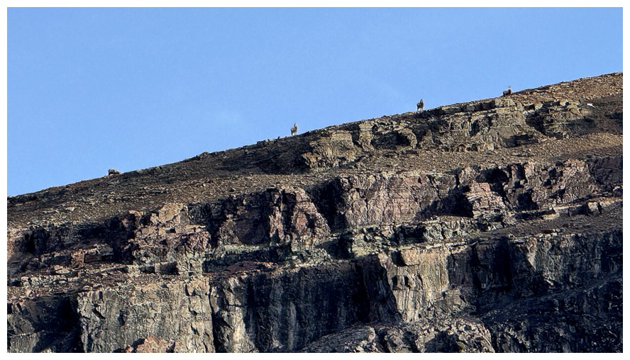
And he/she has brought friends
Cool rock on the left side of the valley
And on the right
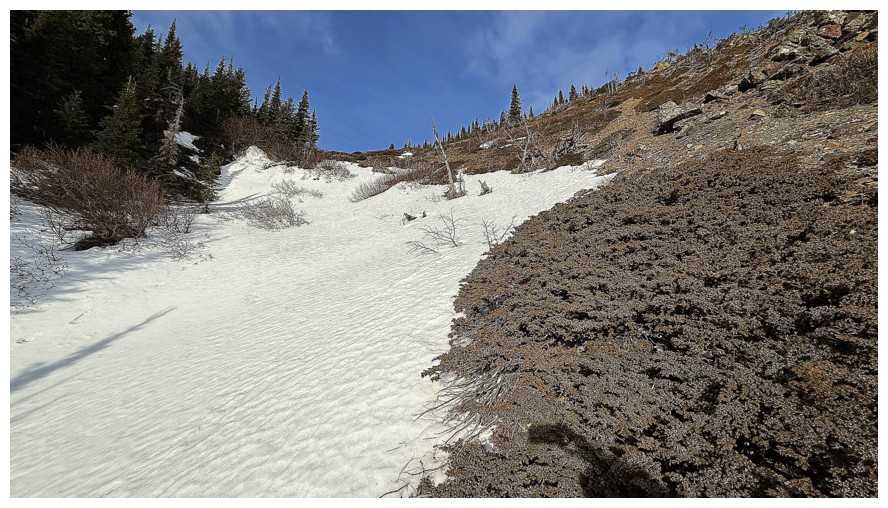
The snow here made travel more enjoyable
Looking left to Fire
And right to Bluff
Definitely want a closer look at that
The slopes I will eventually use to get to the summit
The closer look
Another pleasant diversion
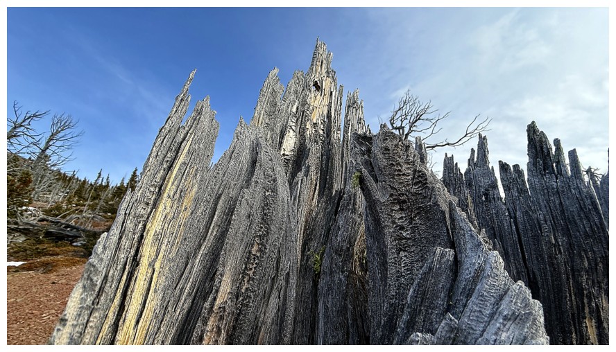
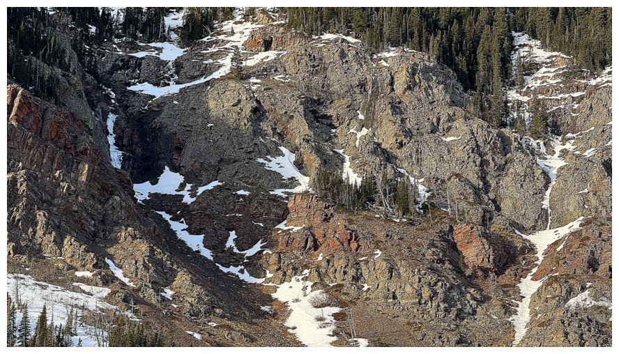
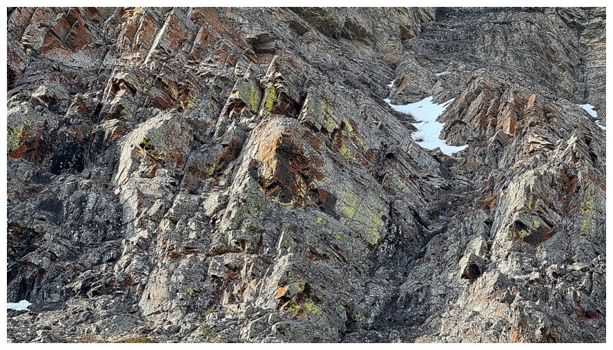
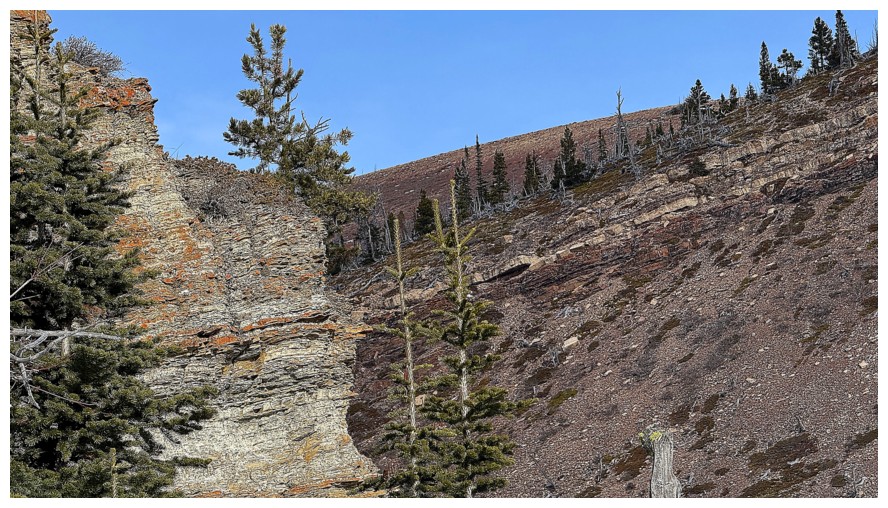
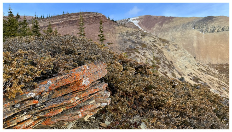
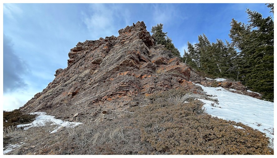
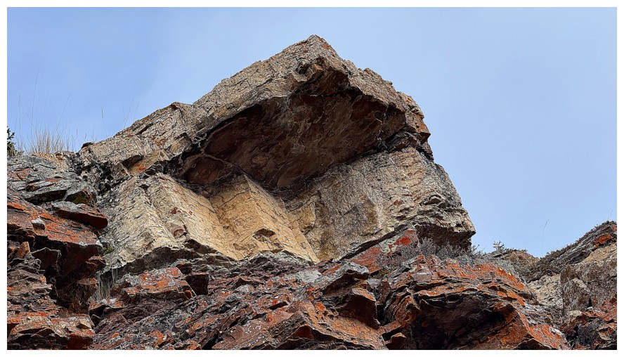
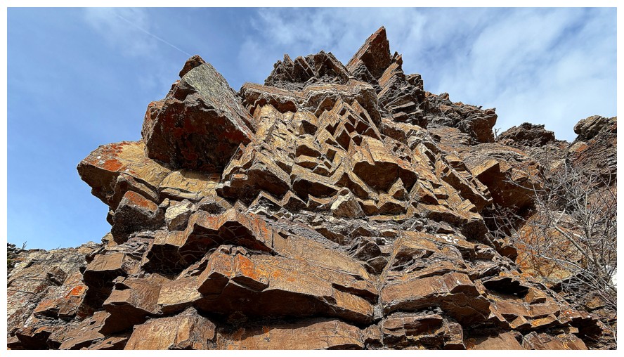
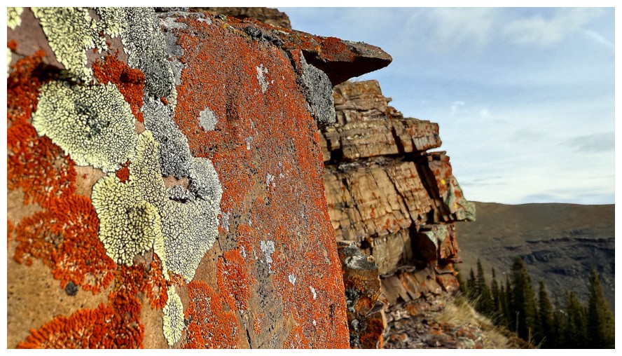
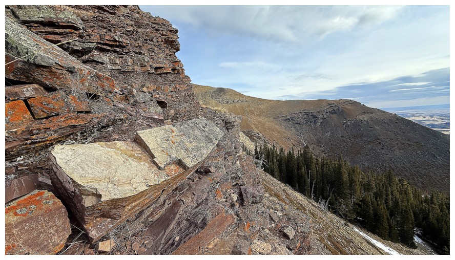
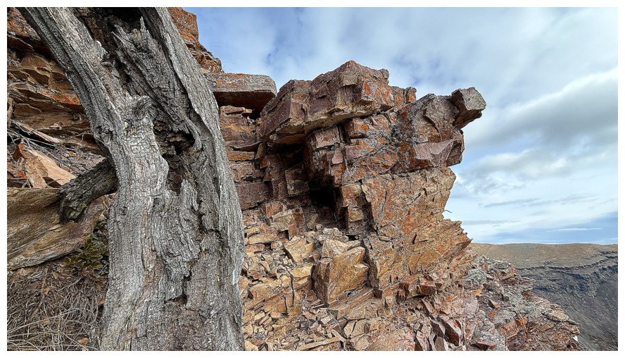
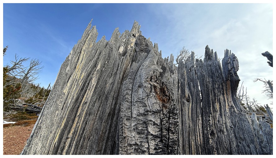
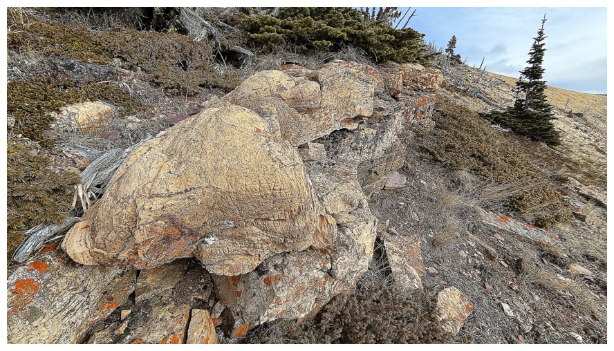
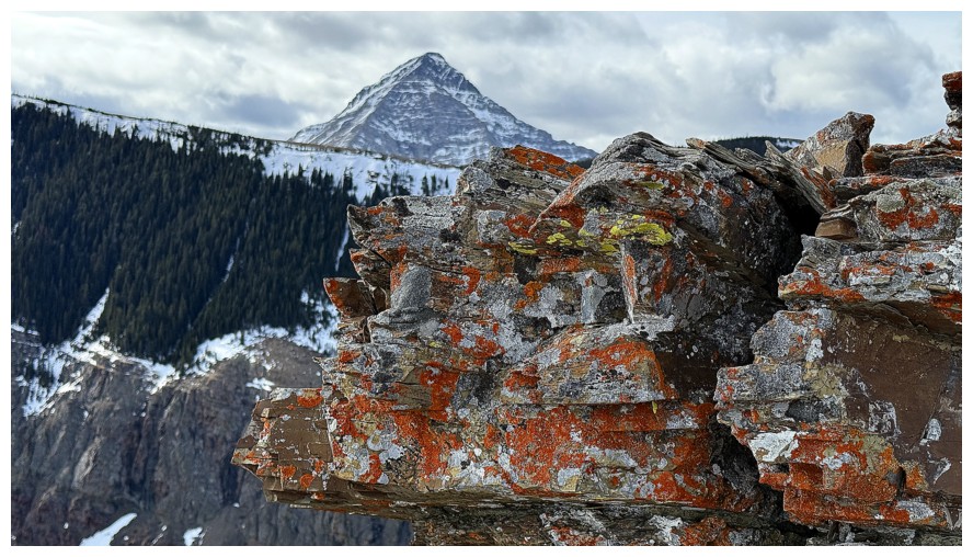
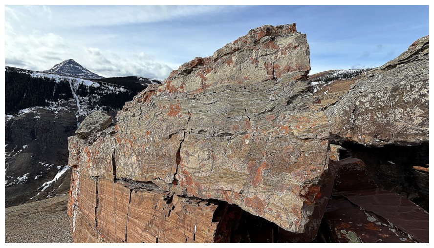
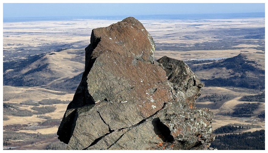
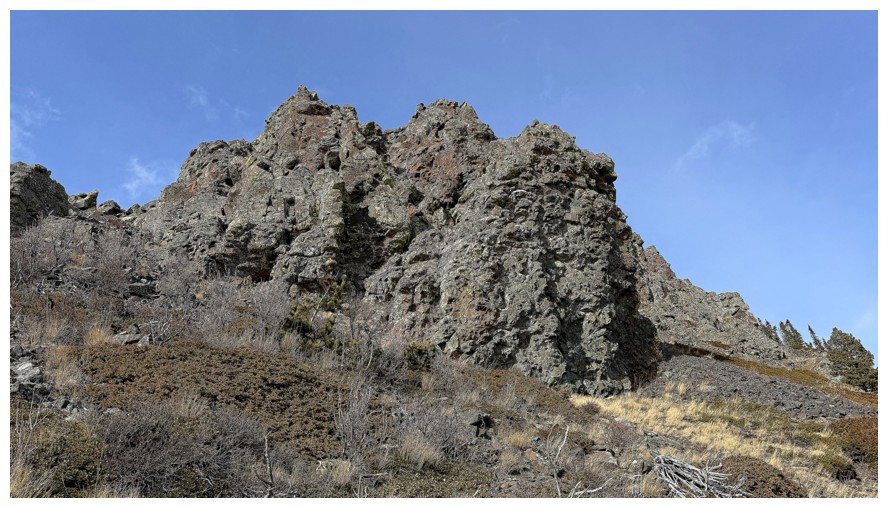
First glimpse of the rock band that was the focus of the ascent route
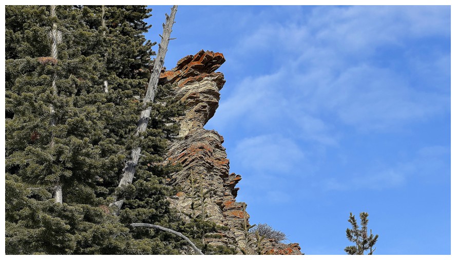
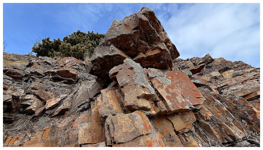
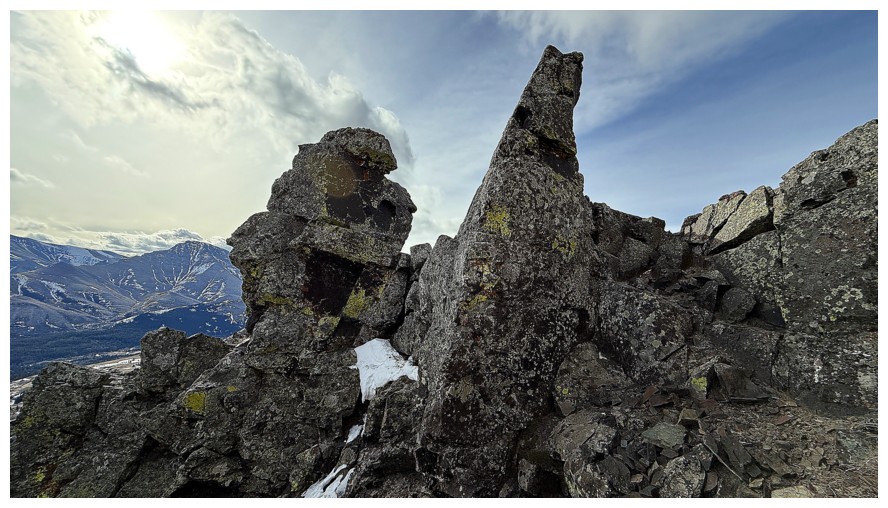
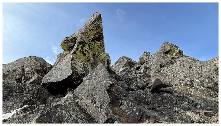
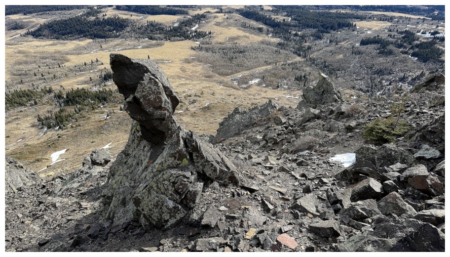
The scary version of Gumby
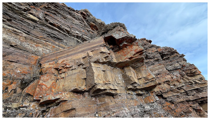
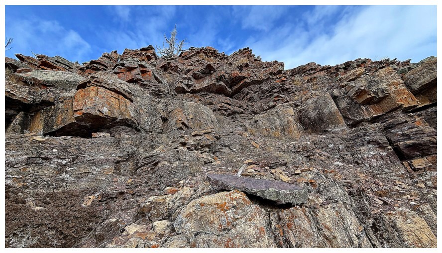
Approaching the base of the rock band
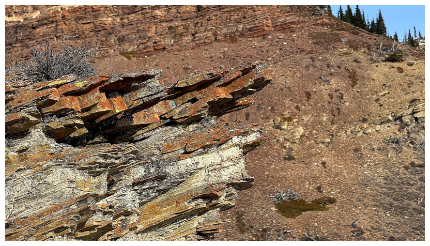
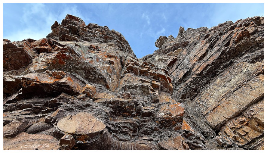
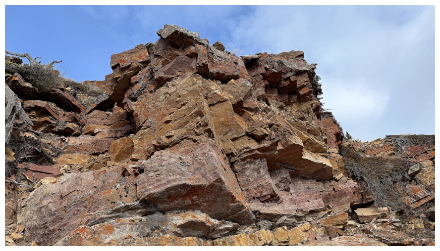
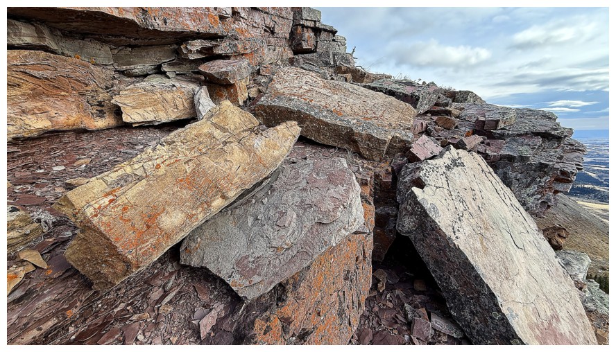
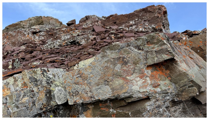
Game on for a lengthy look at nature's artwork
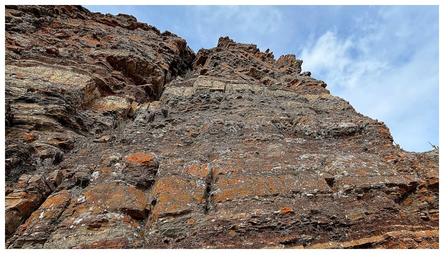
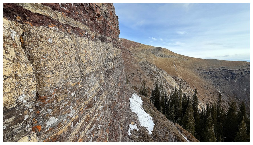
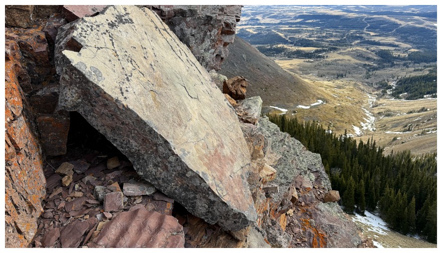
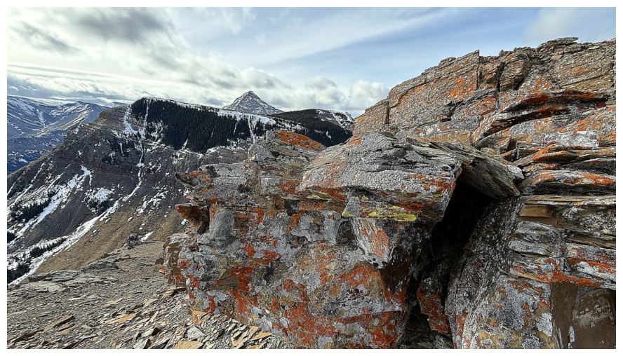
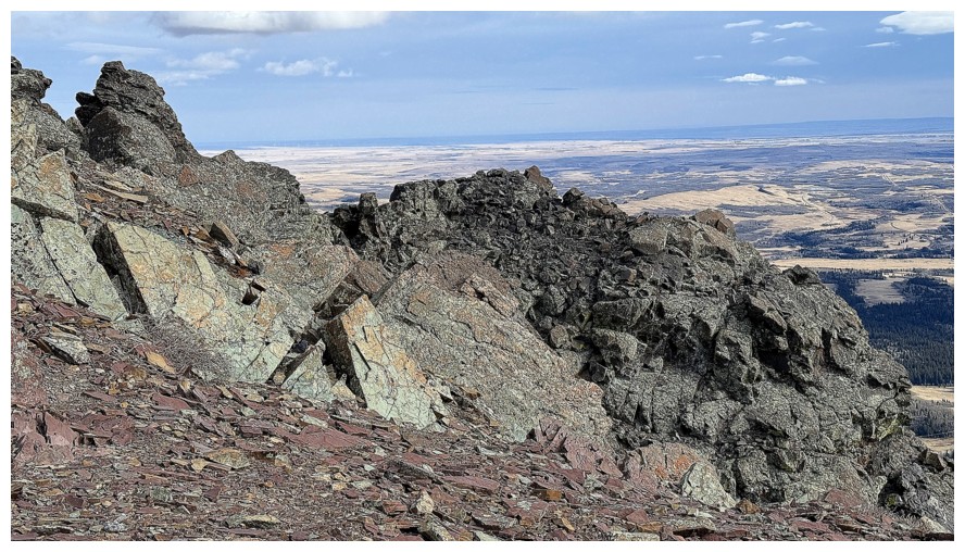
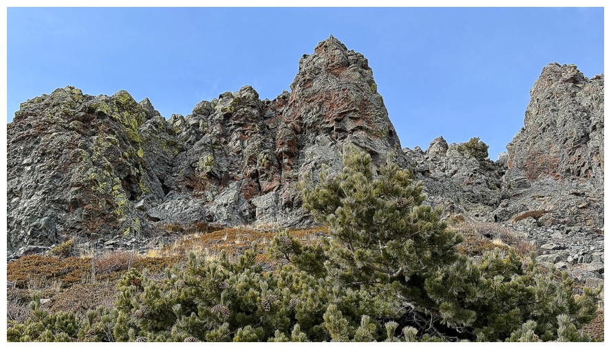
Lots of traversing
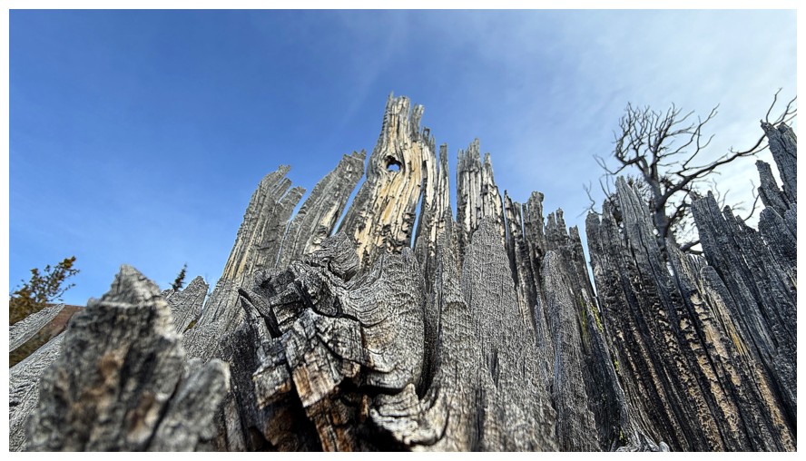
Fire and Scary Gumby

Scary Gumby's even scarier and monstrous cousin, Grumby
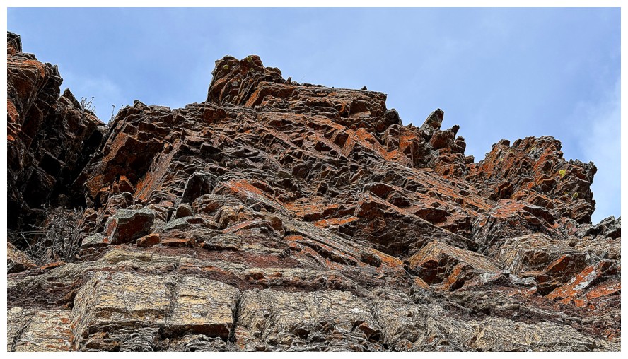
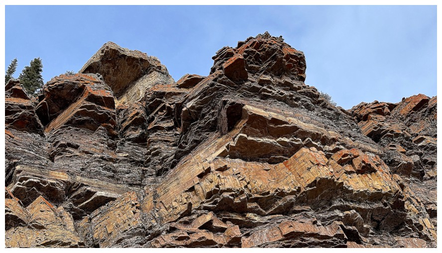
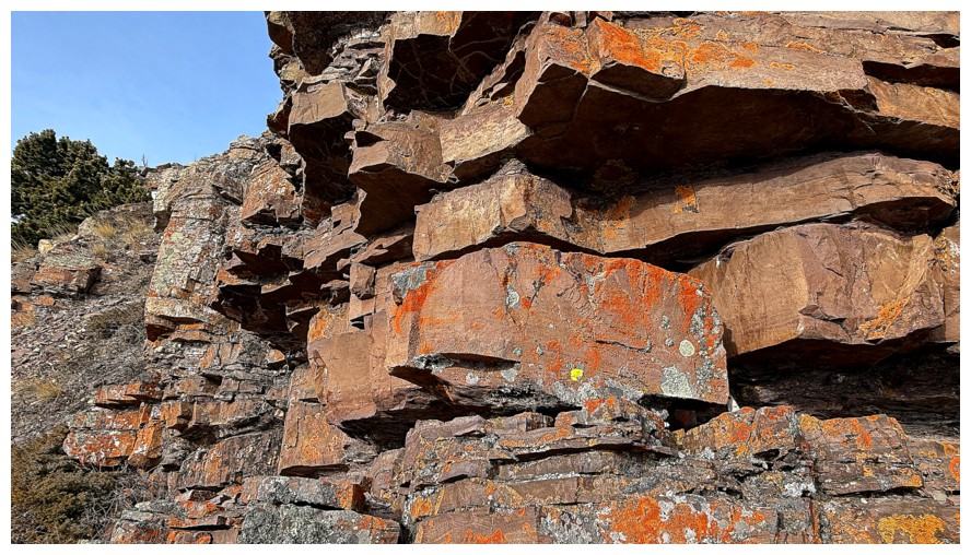
Near the end of the rock band and looking for a way up
There's one
Looking down the route so far
Gumby's unhappy and forlorn brother, Glumby
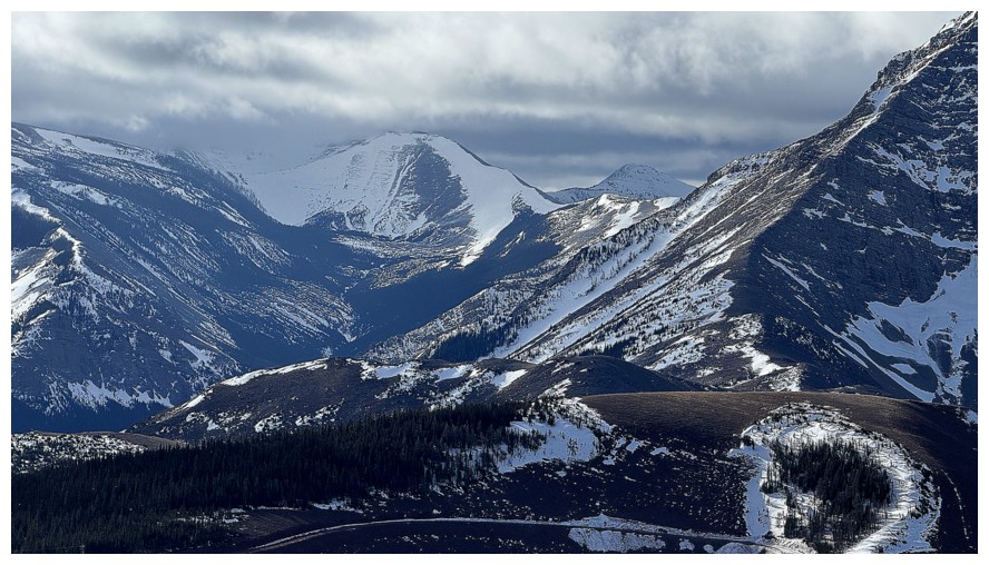
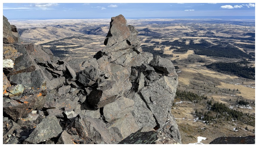
The route to Prairie Oyster
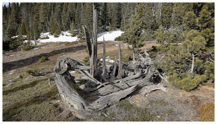
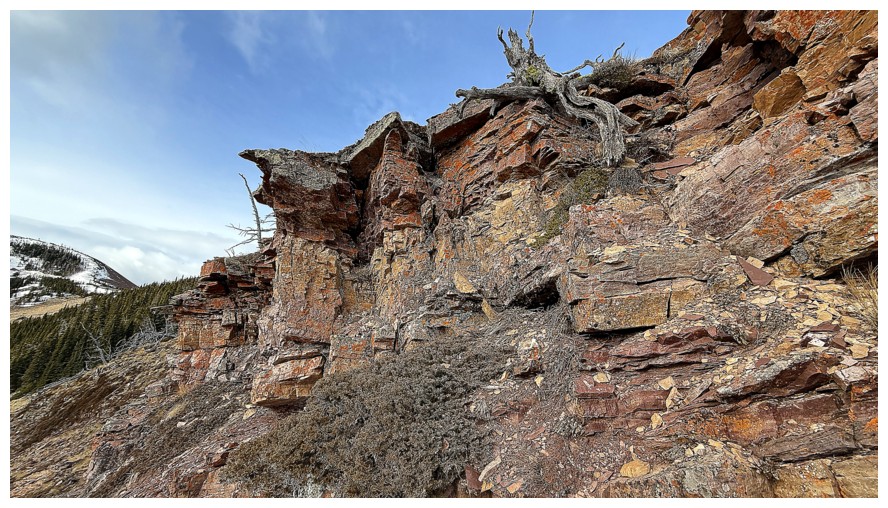
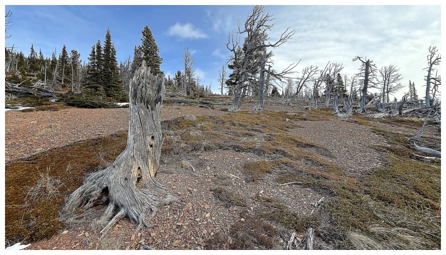
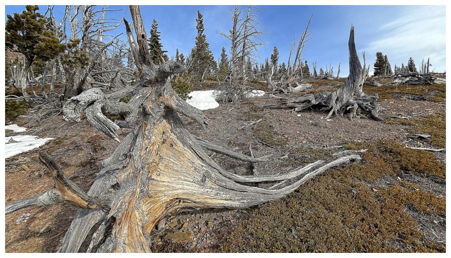
Done with the rock band and getting ready for a tree graveyard
Approaching the graveyard
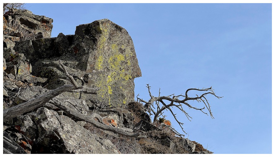
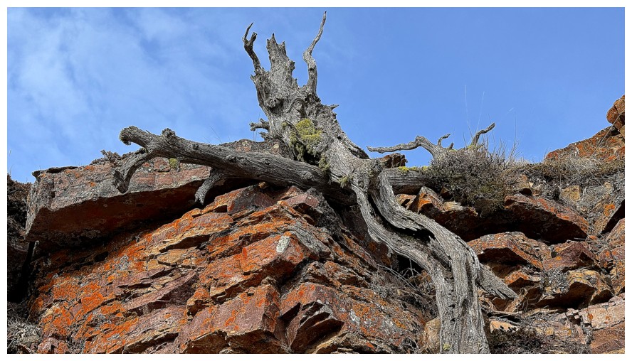
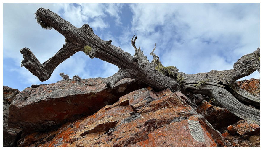
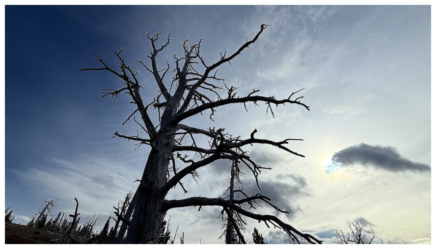
The tree at the left caused quite a photographic stir!
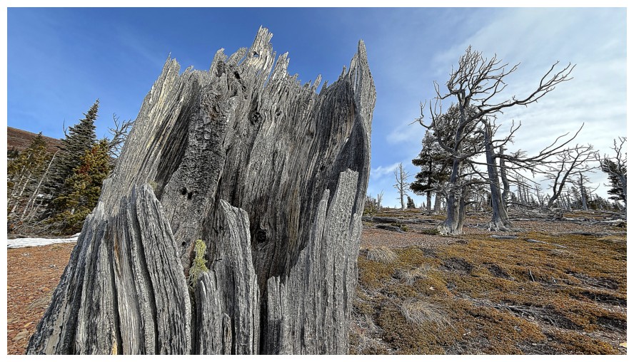
Just a cool, dead tree - no Gumby relation
Same as above
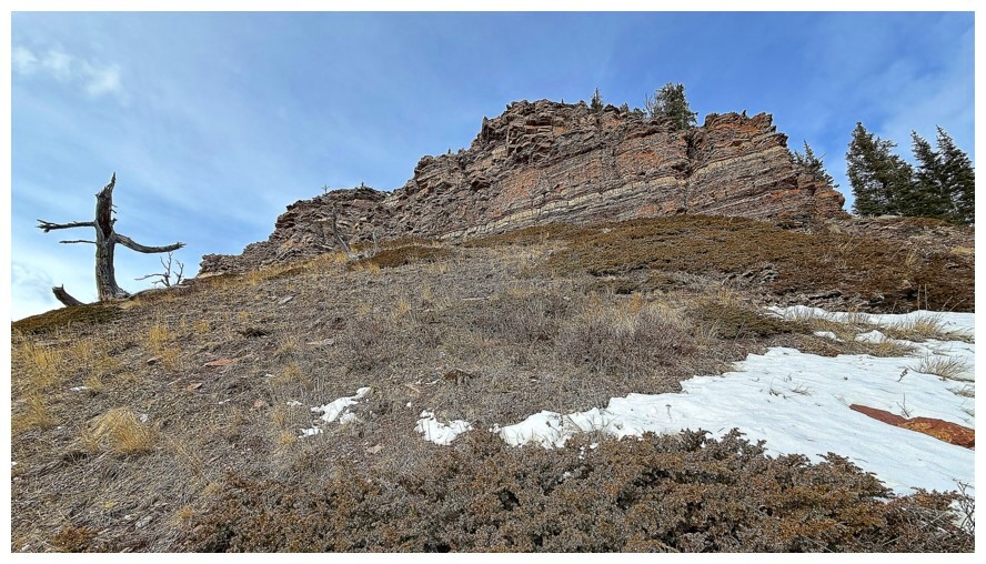
The summit of Bluff is next
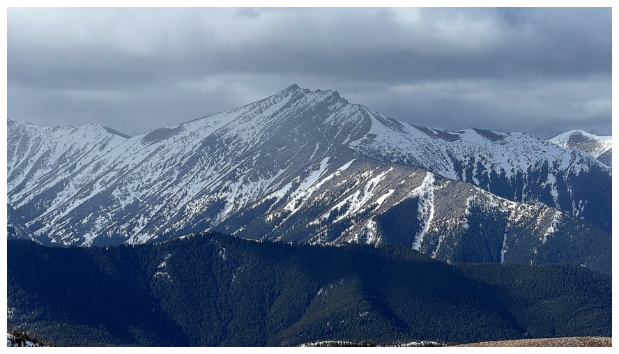
Victoria Peak
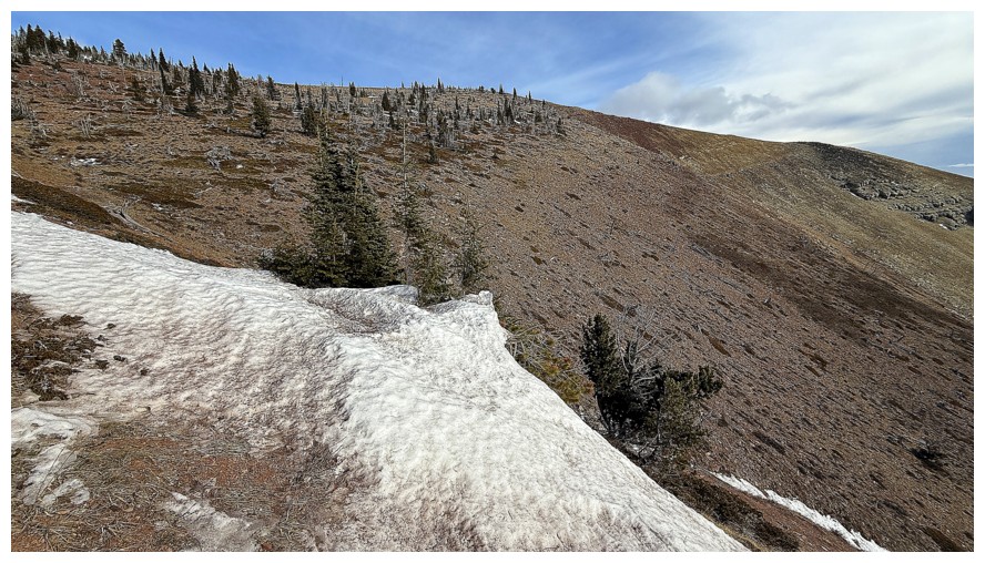
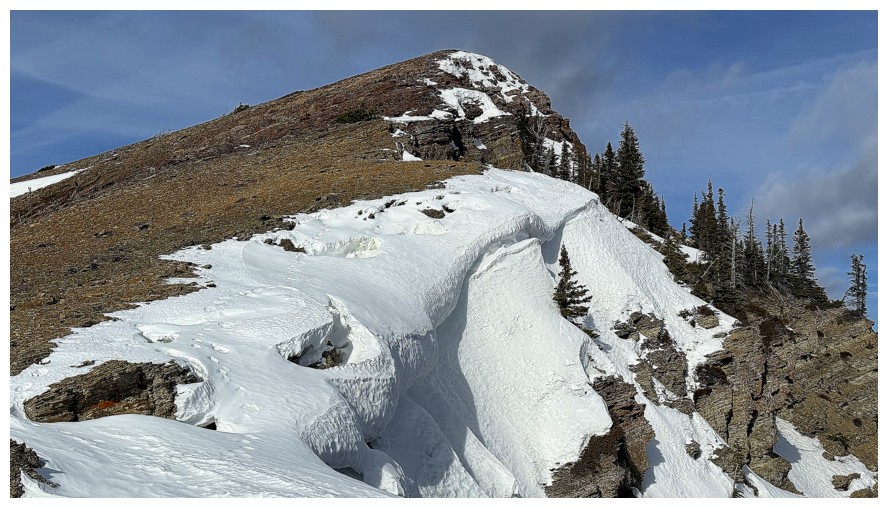
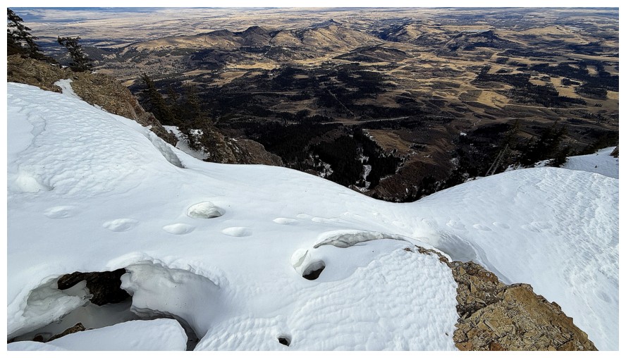
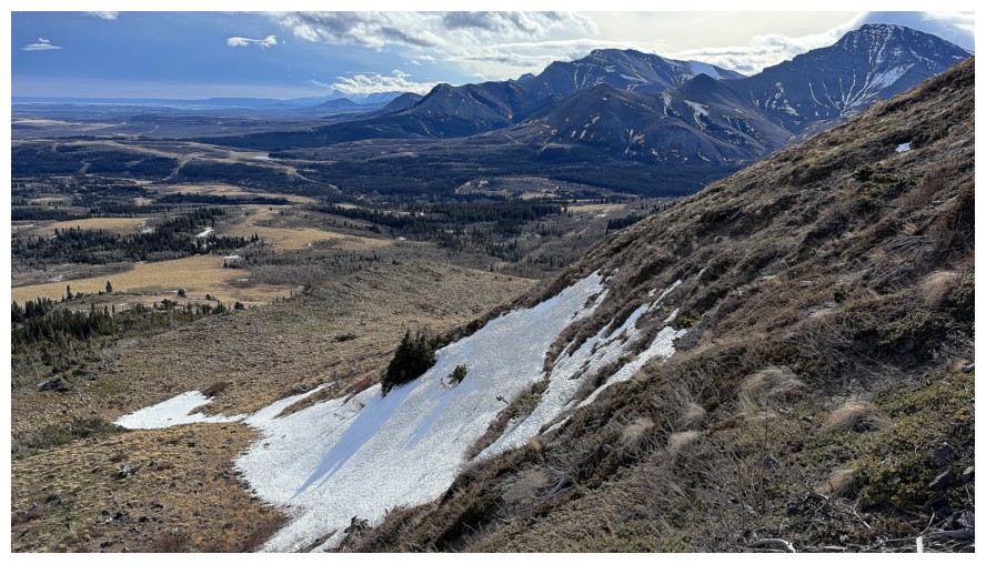
Another snow patch, but this one had to be descended
Another section of dead trees
Small rock wall
Clouds over the summits of Victoria and Windsor Mountain at the right
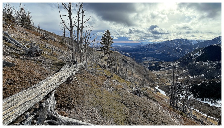
Back to dead tree dodging
Looking back at some of the route up
Castle Peak is hidden too
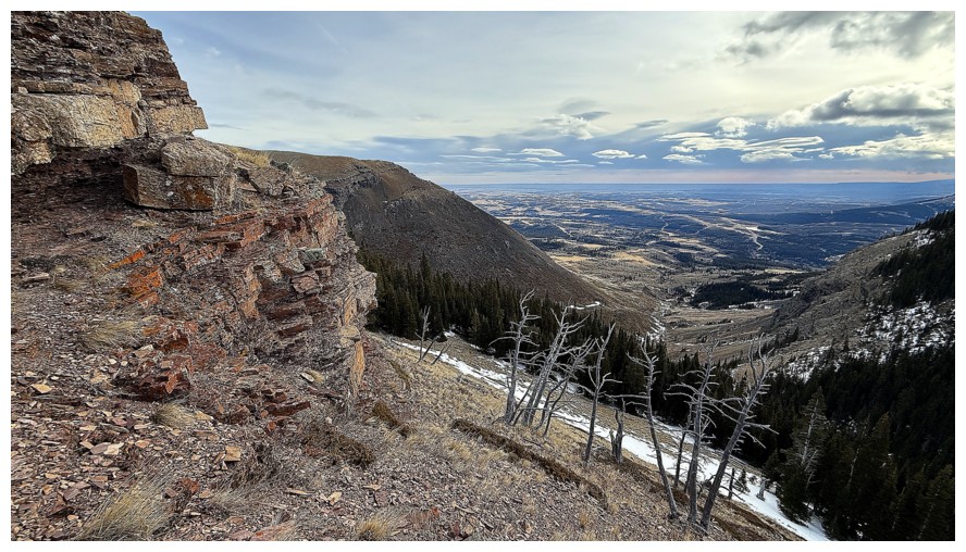
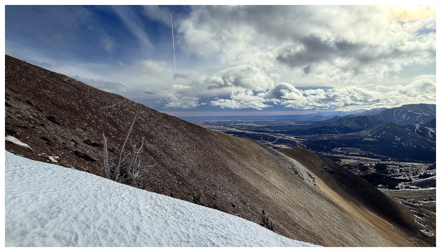
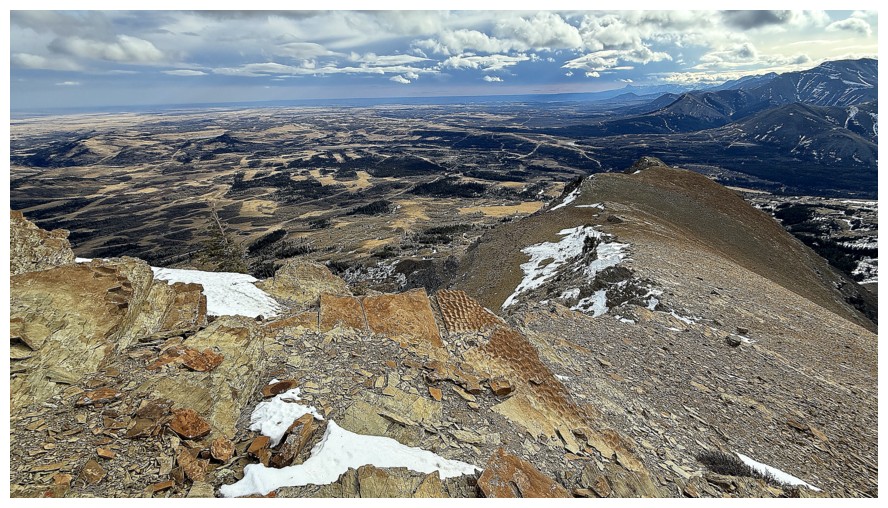
Bigger view
The highly enjoyable south ridge of Bluff
Close-up
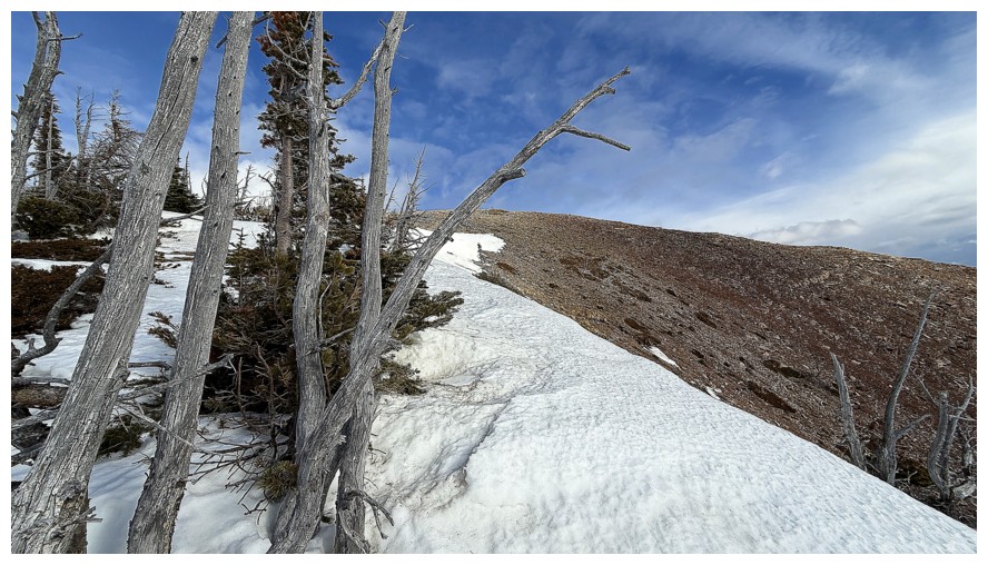
Last of the trees and snow before the summit is reached
Mount Gladstone in the centre
Close-up
Victoria Ridge
Pincher Ridge again

Victoria Peak again
Summit view to the north
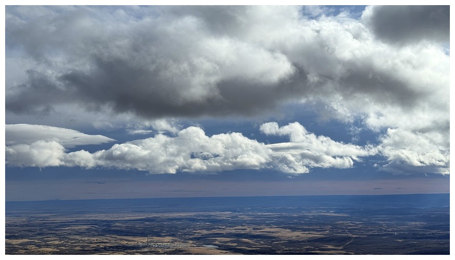
Still enjoying the clouds and moody skies
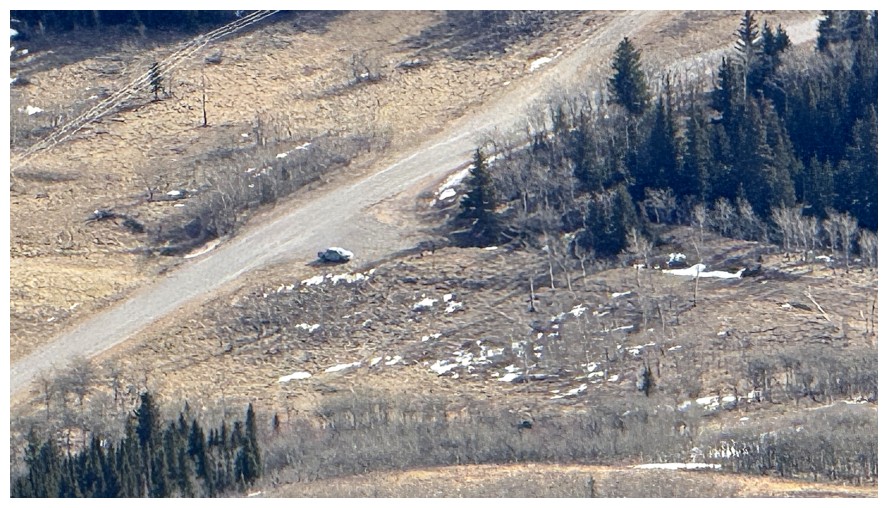
Zoomed-in shot of my vehicle
Same photo but zoomed-out
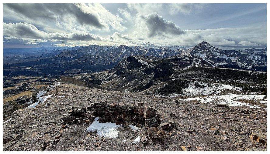
A small wind shelter near the start of the south ridge descent route
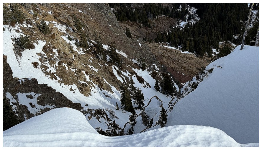
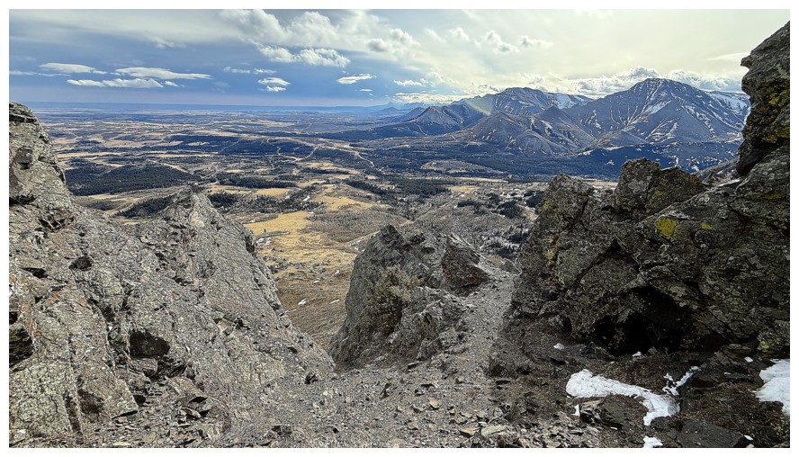
Looking down the steep east face, approximately where we ascended in 2025
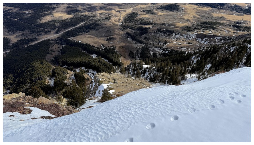
Snow you don't want to step on...
...that's why
More views down the east side
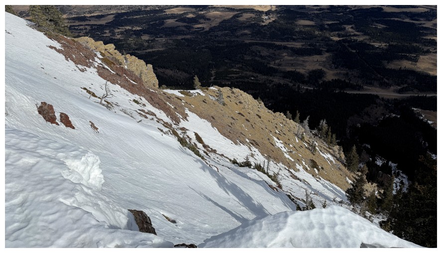
Good representation of how steep some of the east face is
Approaching some ripple rock
Probably the group I saw earlier in the day
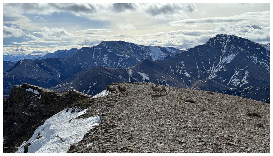
I tried to avoid them but apparently I'm scarier than Scary Gumby
They are heading down that vertiginous east side
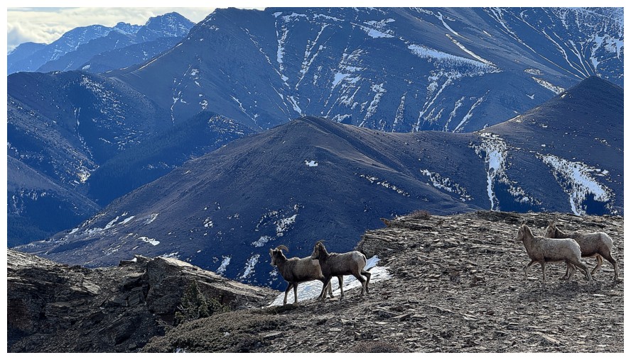
And gone
Found their hiding places
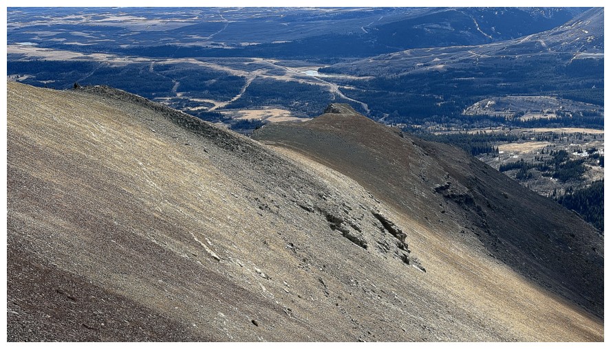
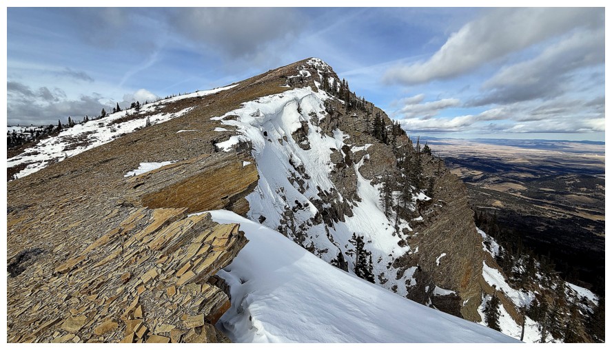
Looking back up the south ridge is always rewarding
This rock would make a decent bed...
...but definitely on the firm side of firm!
Castle Peak is now visible
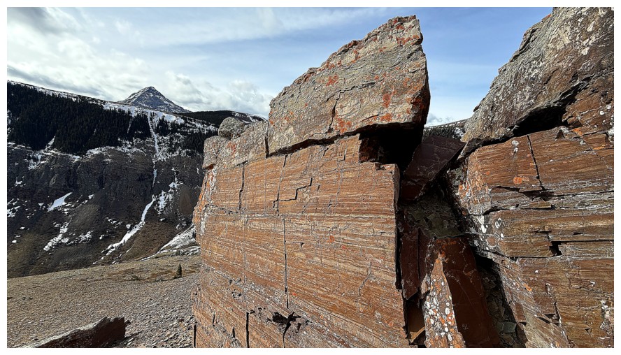
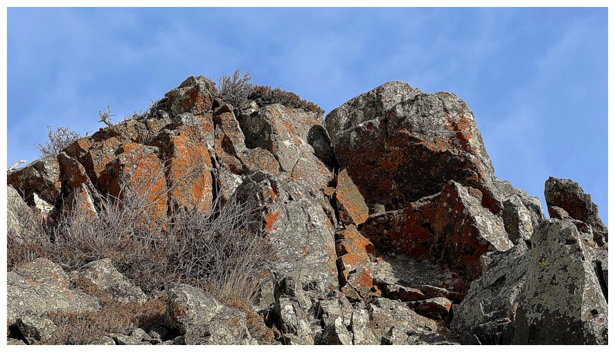
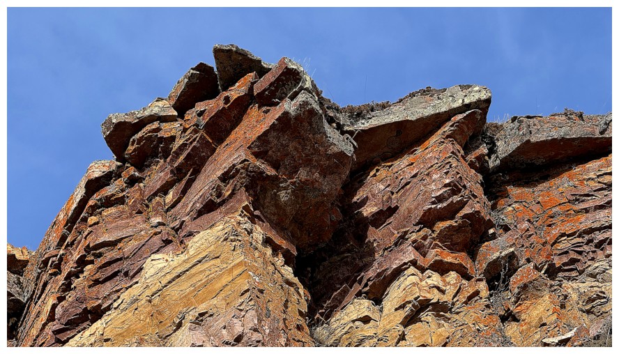
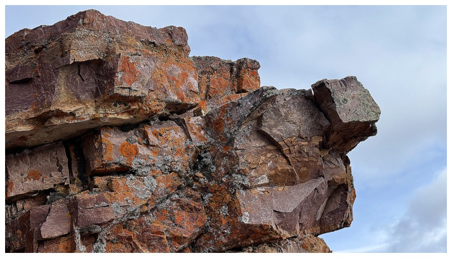
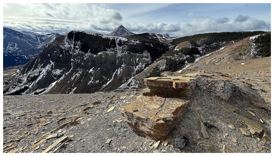
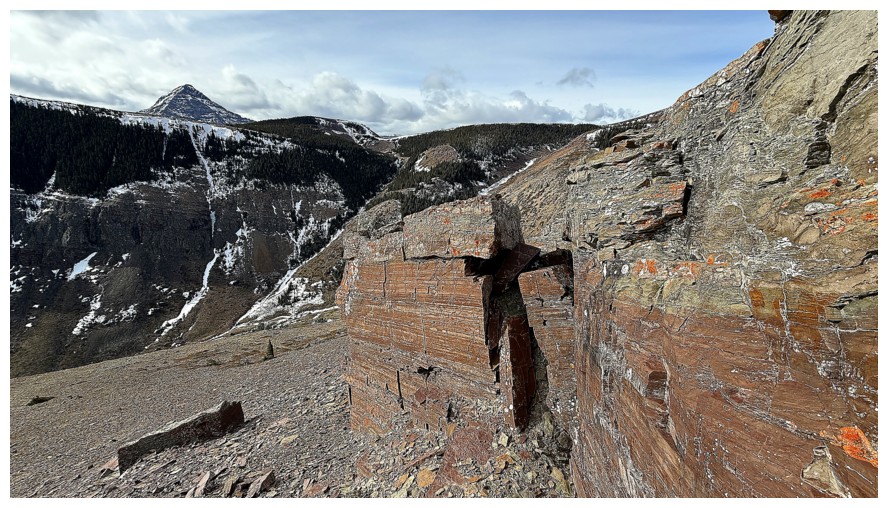
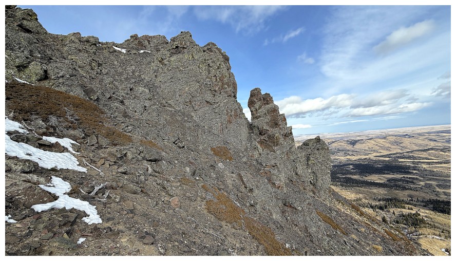
Yet another quick detour along the ridge to check out some remarkable clean-cut rock
And some not so clean-cut
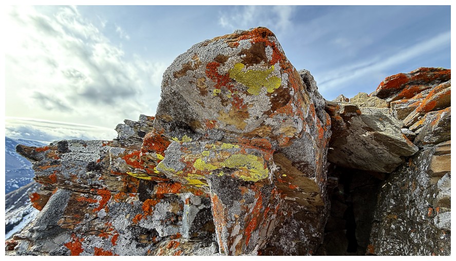
Orange and yellow - great for lichen and hiking outerwear, but I
wouldn't go clubbing in those colours. {Who am I kidding, I didn't even
go clubbing when I was young and had a chance (though an
infinitesimally small one) with the ladies!}
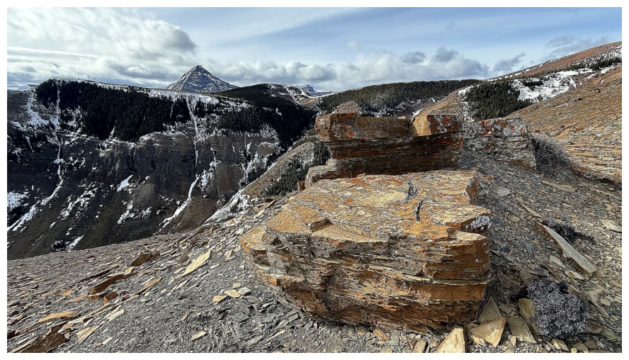
Even cleaner-cut rock
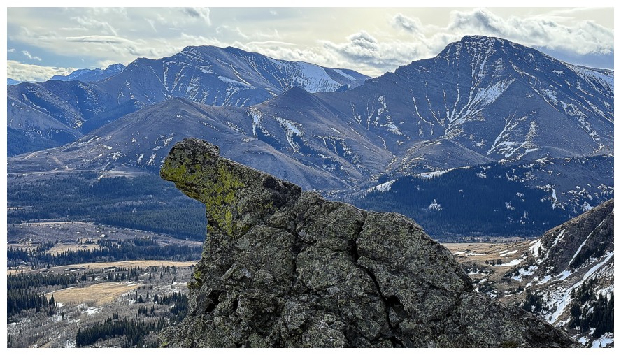
This rock reminds me of Moby Dick
- a movie that is, at this point in time, 70 years old and still as
riveting and poignant as ever. Gregory Peck is unbeatable as Captain
Ahab.
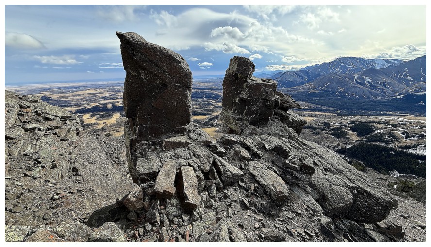
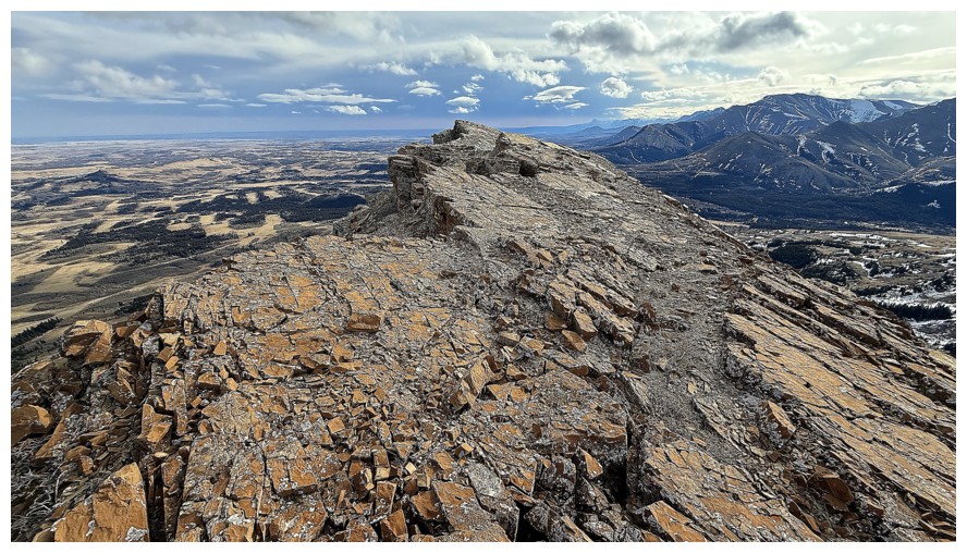
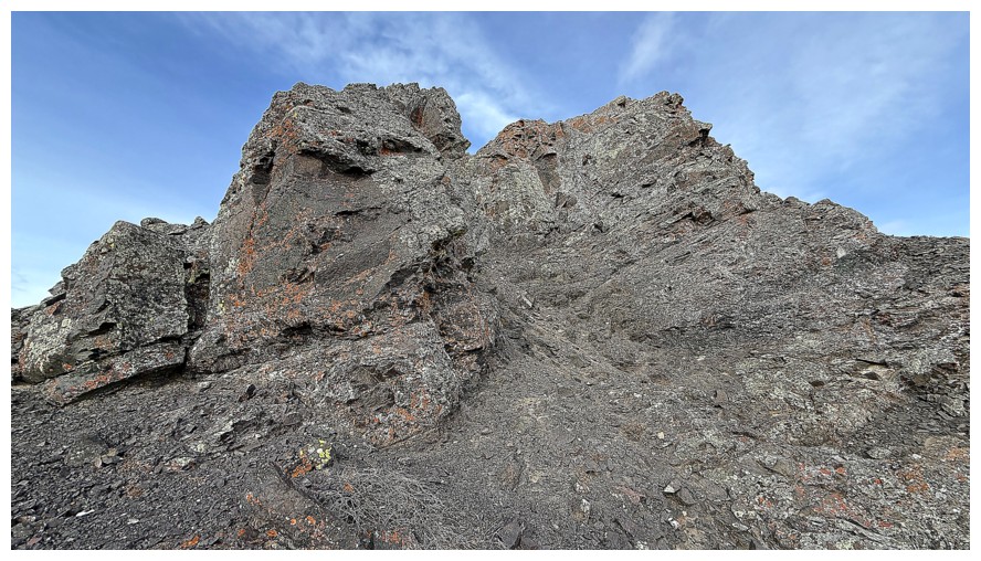
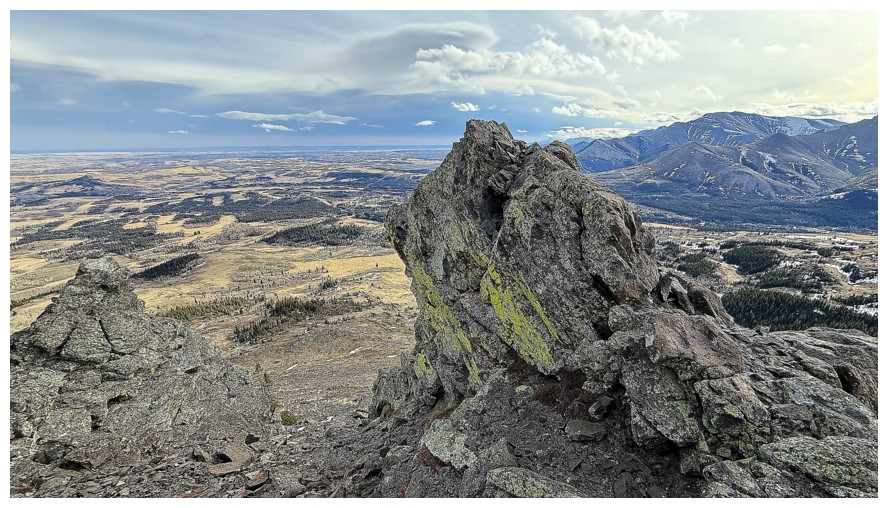
The end of the south ridge is made up of beautiful, dark igneous rock
Lots of room and routes to explore here
Drywood Mountain at the left
Time to leave
Steep at first, but more gentle terrain leads easily back to the approach trail
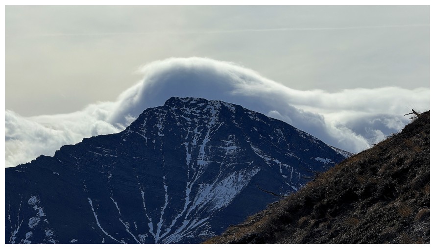
Pincher is wearing a "cloud hat"
Looking back up the descent route
Parting look at Bluff
The End
LOG