Spread Eagle Mountain II
(Mount Roche)
July 21, 2022
Mountain height: 2492 m
Elevation gain: 1000 m
Round-trip
time: 8:50
Solo scramble.
Nine days after
completing one of the “best trips I’ve ever done”, I was back at it completing
another of the several hundred or so “best trips I’ve ever done”. Apparently, I’m
pretty easy to please!
 How good was
this long overdue return to Spread Eagle Mountain? Let’s put it this way – if a
trip can be judged by the number of photos taken, this would be, by leaps and
bounds, the actual “best trip I’ve ever done”! Granted, with digital technology
and the rise of phone cameras I take photos of every single rock I encounter on
any given trip, but in the case of Spread Eagle it was totally necessary (or
so I have convinced myself!)
How good was
this long overdue return to Spread Eagle Mountain? Let’s put it this way – if a
trip can be judged by the number of photos taken, this would be, by leaps and
bounds, the actual “best trip I’ve ever done”! Granted, with digital technology
and the rise of phone cameras I take photos of every single rock I encounter on
any given trip, but in the case of Spread Eagle it was totally necessary (or
so I have convinced myself!)
The objective of
this trip was to find an alternate route to the summit that avoided the
relativity lengthy approach on foot and the crux rock band. 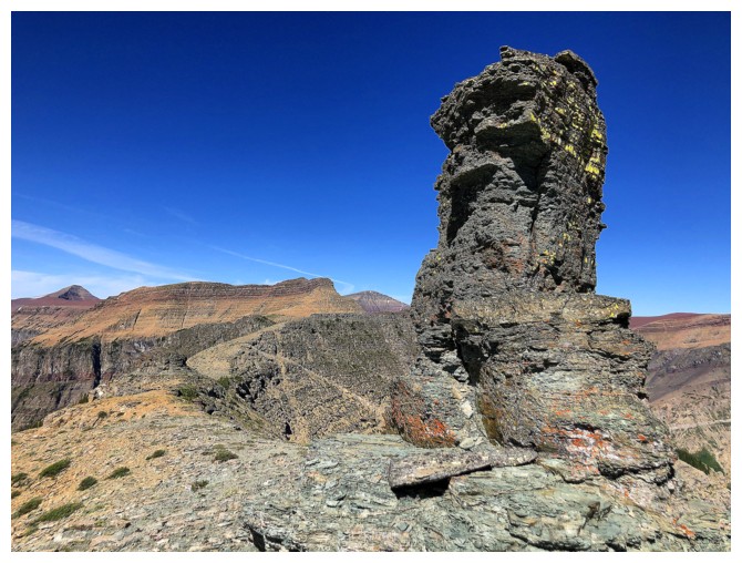 As such, I biked to
the start of the usual descent route. After hiking up the drainage for a short
distance, instead of turning right, I turned left, up steep scree slopes. The
goal was to gain the northwest ridge, scramble up to the crux rock band and
then traverse right to find a weakness that was easier than the weakness we
used on our first ascent in 2006.
As such, I biked to
the start of the usual descent route. After hiking up the drainage for a short
distance, instead of turning right, I turned left, up steep scree slopes. The
goal was to gain the northwest ridge, scramble up to the crux rock band and
then traverse right to find a weakness that was easier than the weakness we
used on our first ascent in 2006.
A long,
foreshortened slog to the ridge preceded a long section of super fun scrambling
with amazing, lichen-splashed rock, up to the crux. I then started traversing
the base of the significant and almost vertical rock band to the right, hoping
to find an easy route through it. Nothing appeared and in fact the farther I
went, the more severe the band became. I decided to turn around and try the
other side. Several hours later, I would discover that had I continued
traversing along that line, I would have eventually found a spot where the rock
band had been displaced, (obviously by geological forces) leaving an easy scree
path through it.
Traversing the
other side, it wasn’t long before I arrived at a weakness that looked vaguely
familiar. Yes, it was the same one Mark and I had ascended 16 years earlier. I
changed into approach shoes at this point, recalling the rock step to be very
steep and very exposed. And that it was! Above the step, I made my way to the east
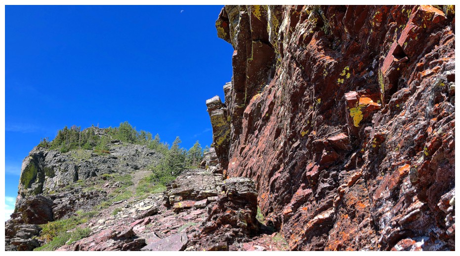
ridge, now on familiar terrain.
The remainder of
the ascent was a wild ride of super fun scrambling, some super nail-biting
scrambling, and outrageously cool rock at every turn. The “nail-biting” part can
be attributed to my sometimes dangerous need to see every one of those super
cool rocks. At one point I ventured too far over to the precipitous south side
of the ridge (of course to see some lichen-covered rock!) and found myself on a
very exposed ledge, with terrain below that I didn’t want to downclimb and
terrain above that was high-end scrambling. Given the severe consequences of a
fall here, I threw my backpack up the rock step above and then scurried up,
thankfully finding a couple of great handholds along the way.
 After vowing to
“not be such a fool” I finished the ascent, taking much easier lines. The summit
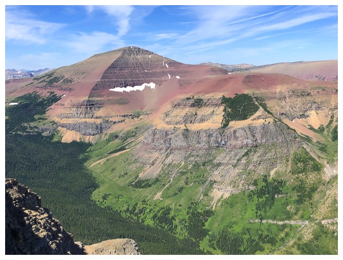
view, with perfectly clear skies was stunning – a considerable improvement over
our cloudy 2006 one. Layers of strikingly colourful and contrasting rock popped
out everywhere. I could only think that a couple of glacially-fed blue/green/turquoise
lakes (ala Corona Extra) would render this a scene of unmatched beauty.
Unfortunately, glaciers in this area are a long, lost memory and, with the
exception of Bovin Lake, the east side of The Castle is noticeably lacking in
large bodies of water.
After vowing to
“not be such a fool” I finished the ascent, taking much easier lines. The summit
view, with perfectly clear skies was stunning – a considerable improvement over
our cloudy 2006 one. Layers of strikingly colourful and contrasting rock popped
out everywhere. I could only think that a couple of glacially-fed blue/green/turquoise
lakes (ala Corona Extra) would render this a scene of unmatched beauty.
Unfortunately, glaciers in this area are a long, lost memory and, with the
exception of Bovin Lake, the east side of The Castle is noticeably lacking in
large bodies of water.
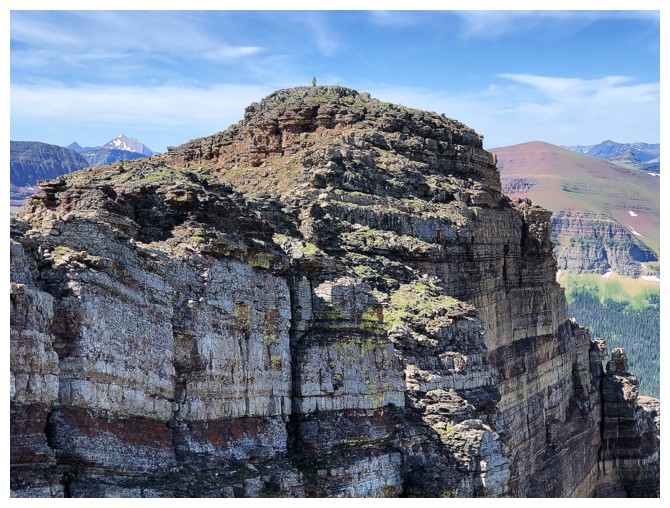
The next order
of business was a quick visit over to what people are commonly calling the West
Summit, a striking highpoint of pinnacled red rock. I had last visited this little
slice of argillite heaven in 2009, while traversing the amazing length of
Spionkop Ridge. My selective memory failed to recall one exposed step to get
past the pinnacles and to the cairned summit, but the apex was eventually
reached, a few photos snapped, and it was time to go home.
The alternate
and significantly easier descent route was more than welcome at this point of
the day. Of course, the same goes for the lightning fast, 4 km bike back to the
start.
Hopefully there
will be many more “best trips I’ve ever done”, but for right now it’s Spread
Eagle Mountain.
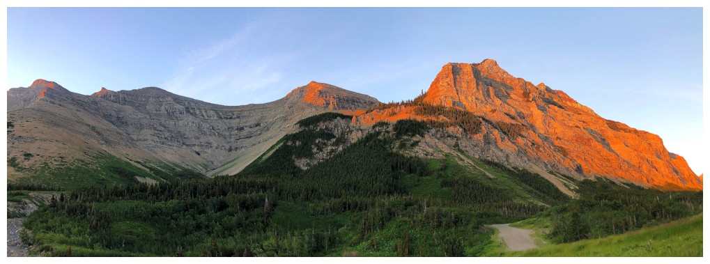
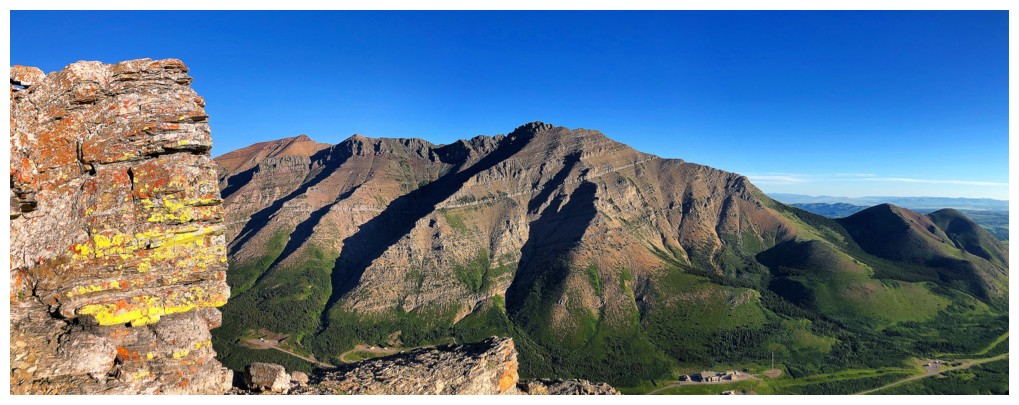
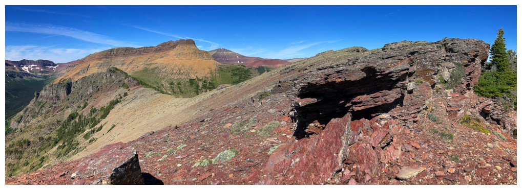
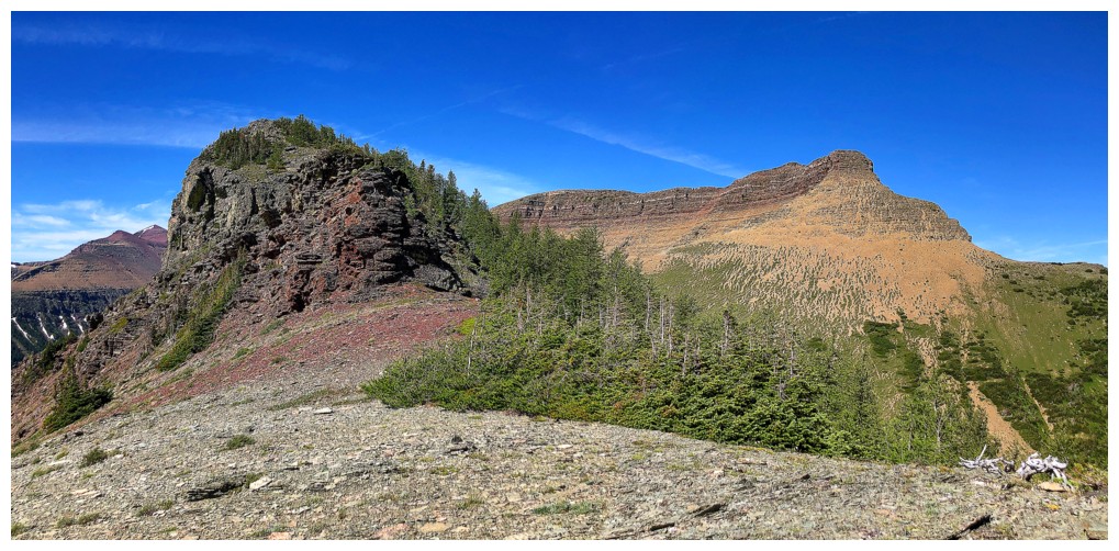
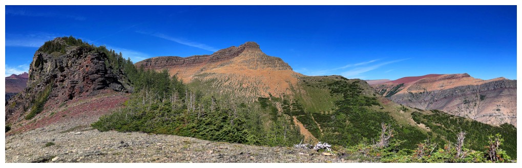
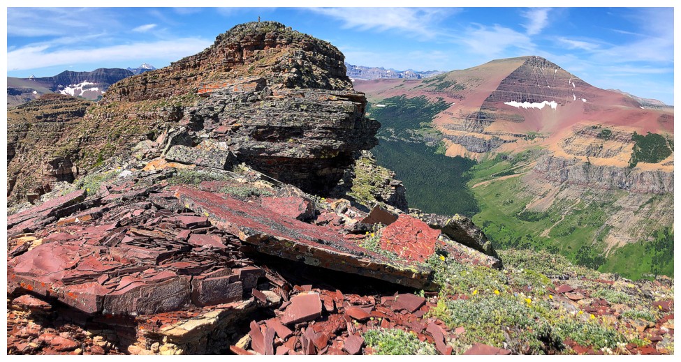
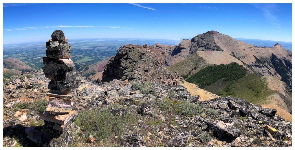
The Sun hits the West Summit of Spread Eagle first. The true summit is the small point near the left.
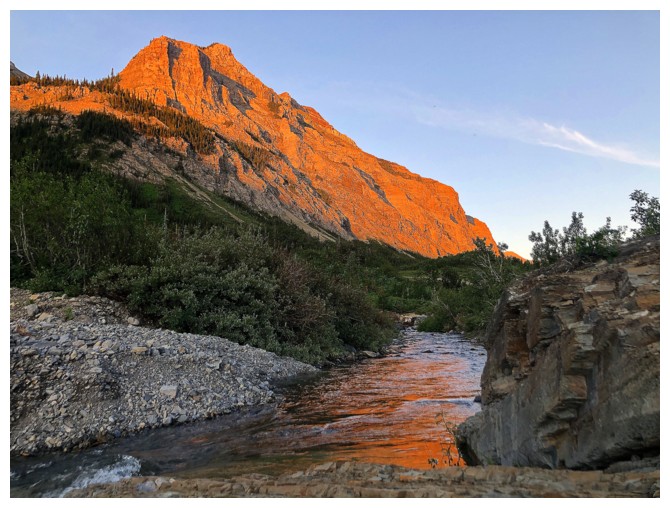
Reflecting light makes the creek appear orange
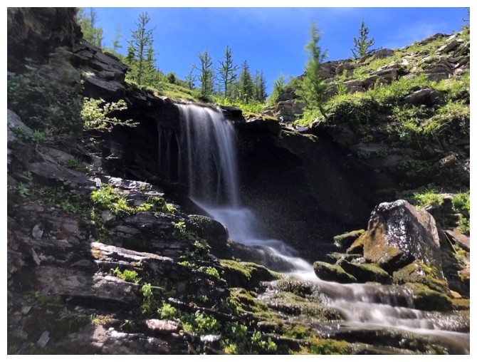
Small waterfall
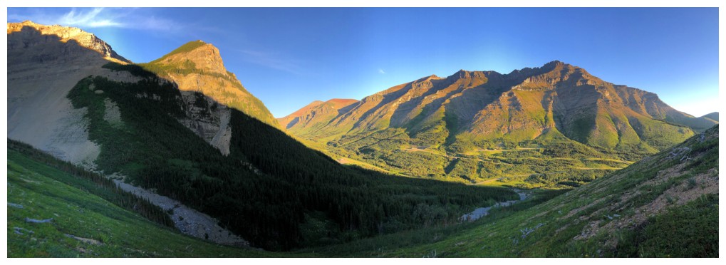
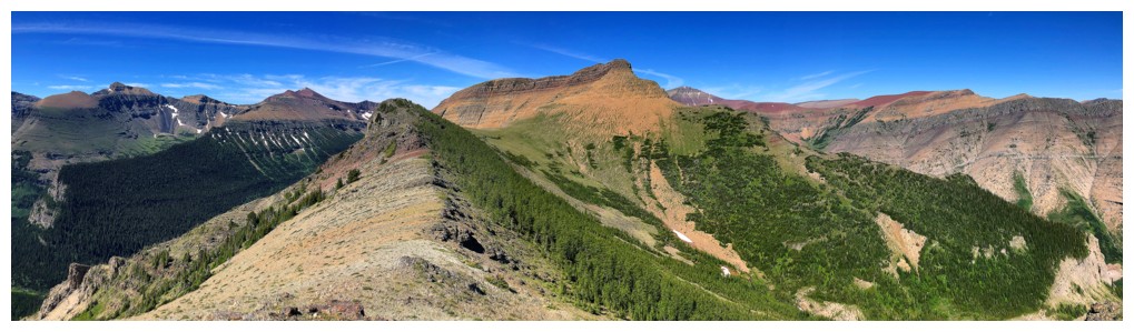
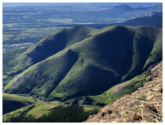
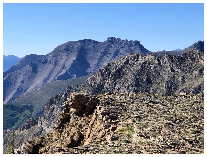
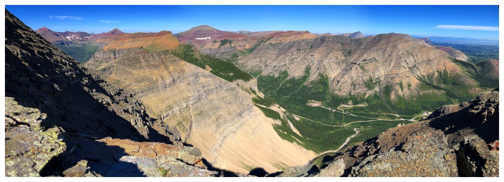
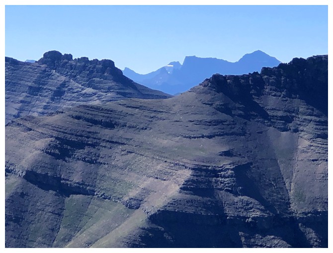
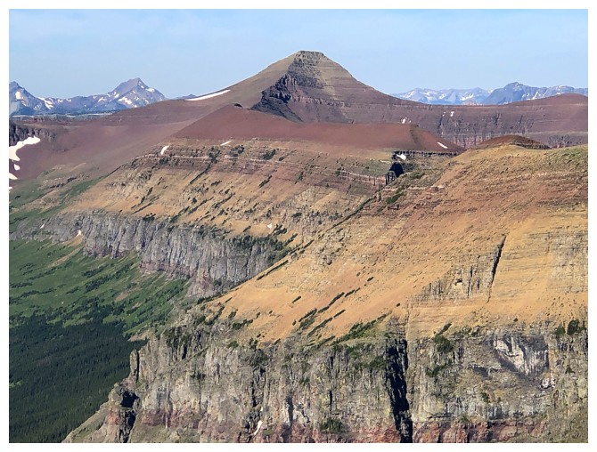
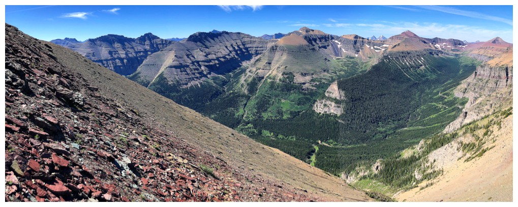
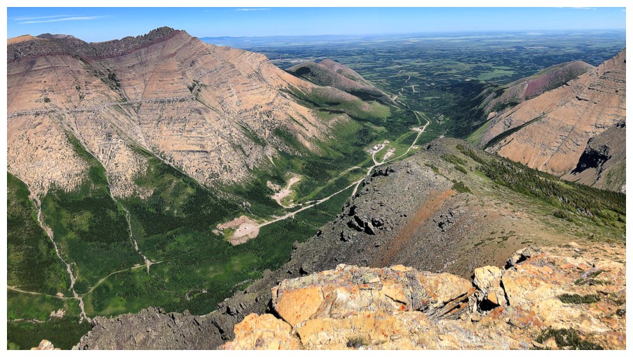
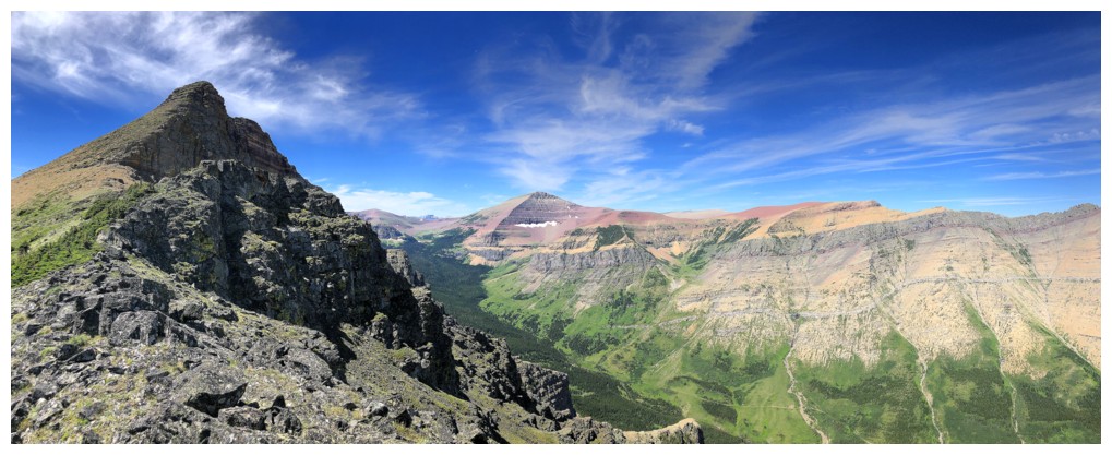
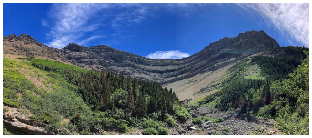
Great views of the entire length of Loaf Mountain across the valley helped alleviate the tedium of slogging up steep slopes to the ridge
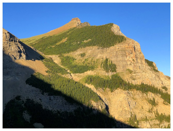
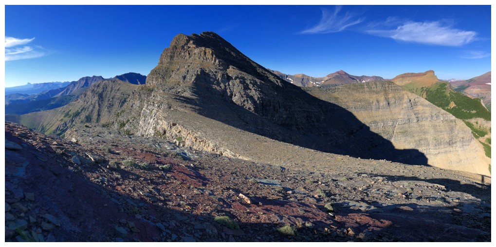
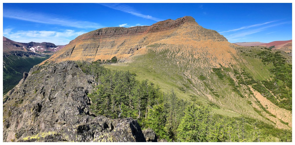
The West Summit
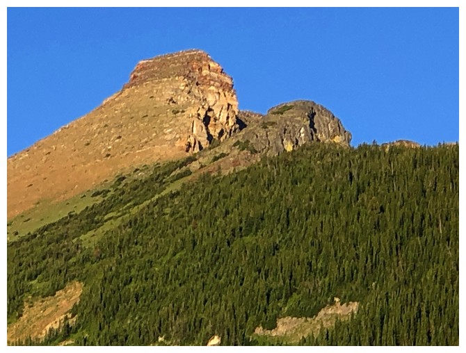
Close-up
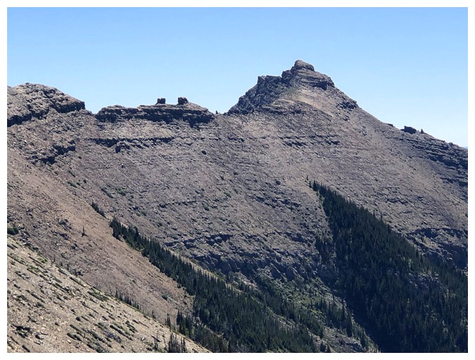
Close-up of Bakery Peak (a plateau just to the right of the highest point) and the highest point of the east end of Loaf Mountain
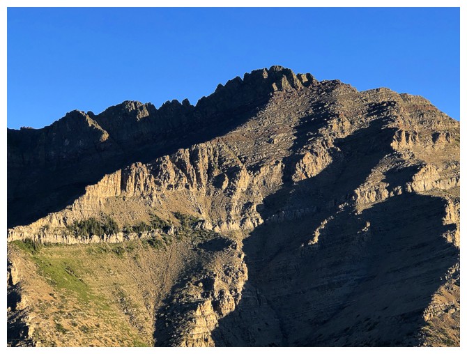
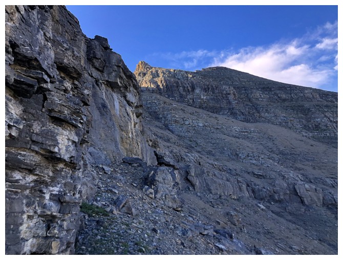
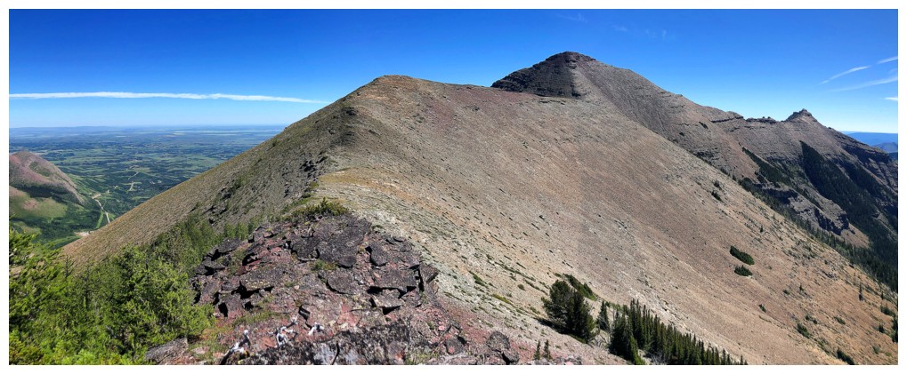
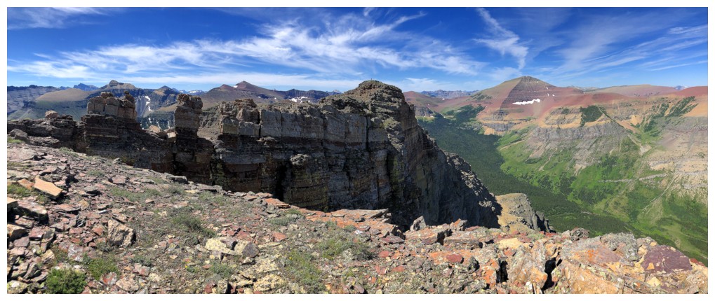
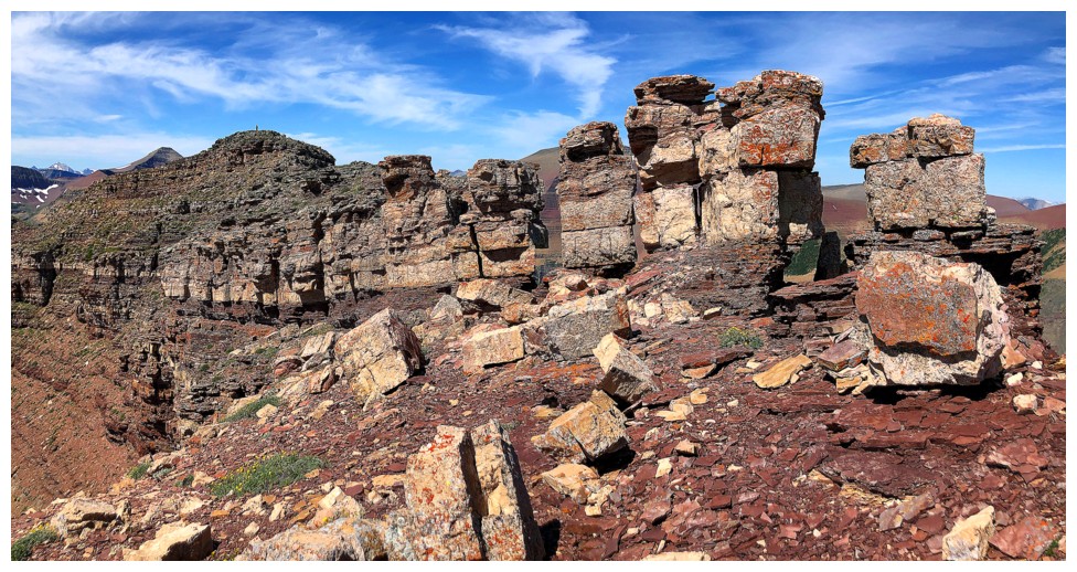
On the ridge and approaching the first of many rock bands
Since the Sun was shining on the northeast side of the mountain that's where I decided to hike/scramble
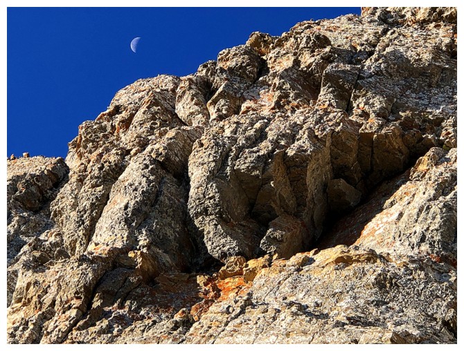
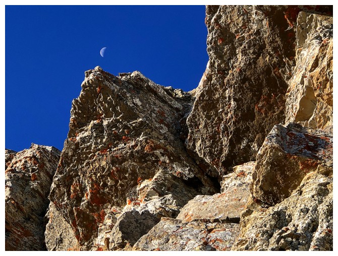
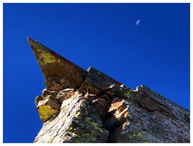
A faint Moon was present through much of the ascent
Super fun scrambling terrain
Not the last photo of the Moon above cool rock
No Moon, but great rock
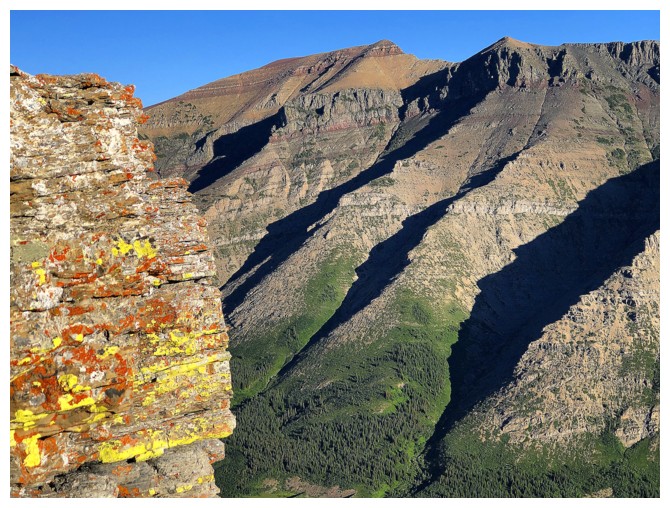
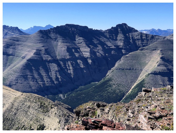
In The Castle and Waterton, traversing below rock bands is often far more visually stunning than atop them
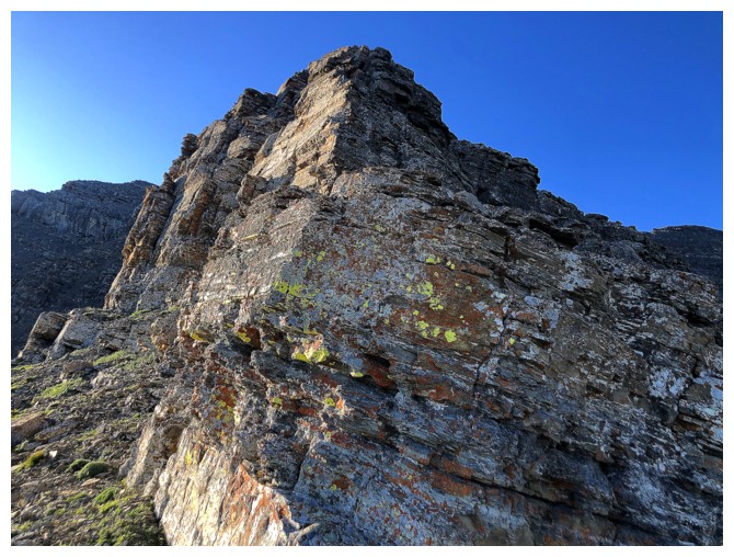
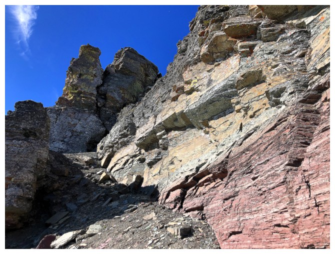
Back on the ridge and ready to tackle more rock bands
But not before checking out the awesome east end of Loaf Mountain again
I live for this s#@t!
.....and this
.....and this
The middle summit of Loaf Mountain in the centre. Dave humourously named it Pastry Peak. Love it!
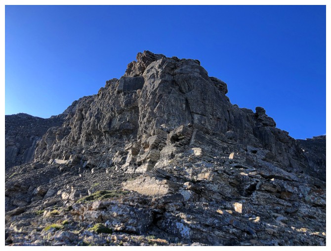
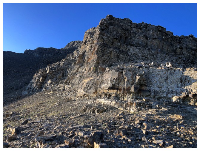
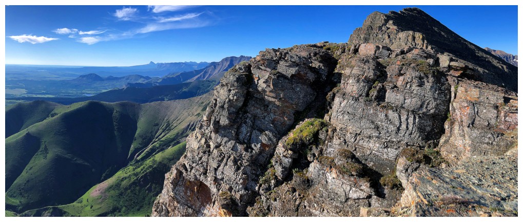
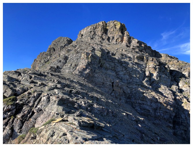
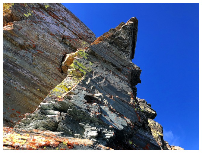
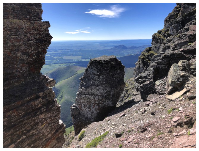
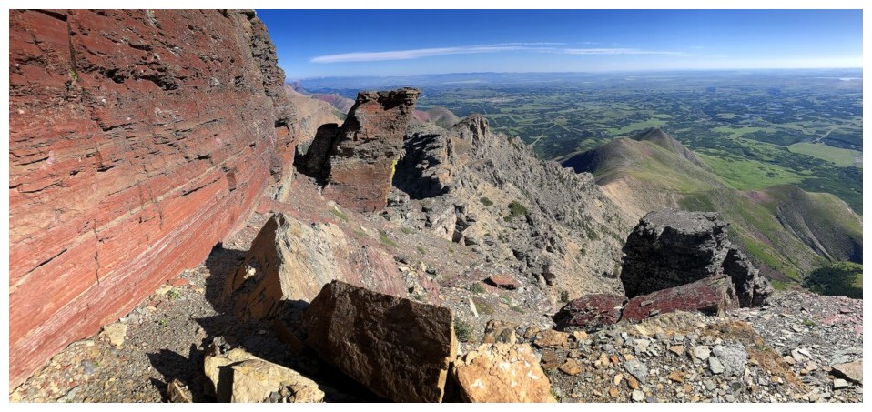
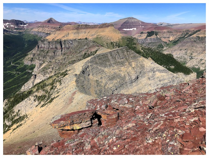
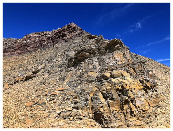
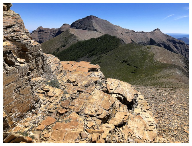
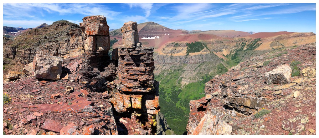
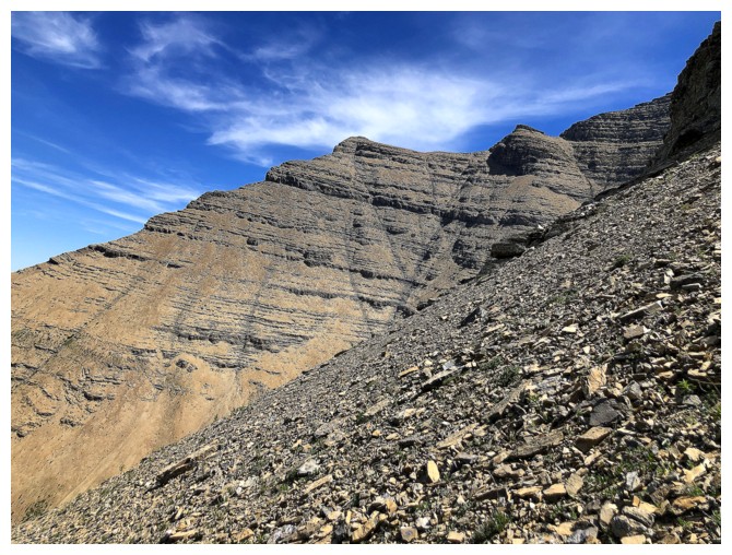
Approaching the crux rock band of the trip
Traversing to the right, below the rock band. I turned around shortly after this photo, but should have continued on.
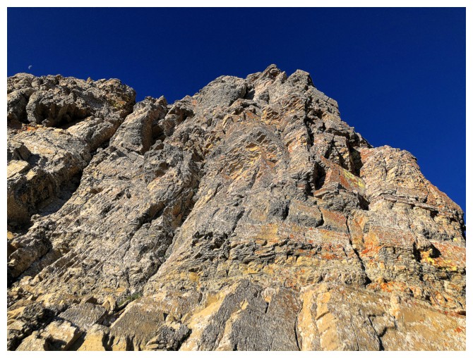
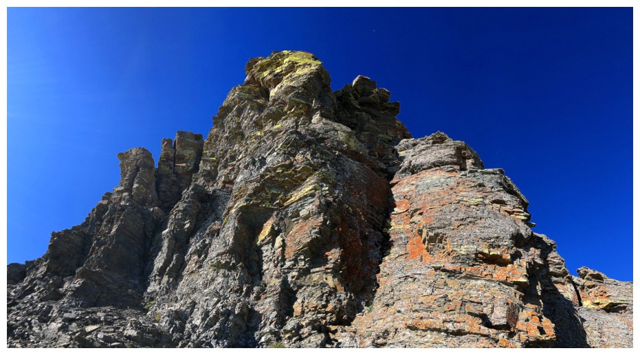
Above the crux and looking at the big summit block
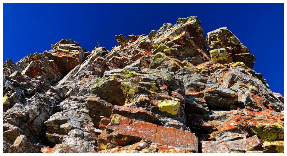
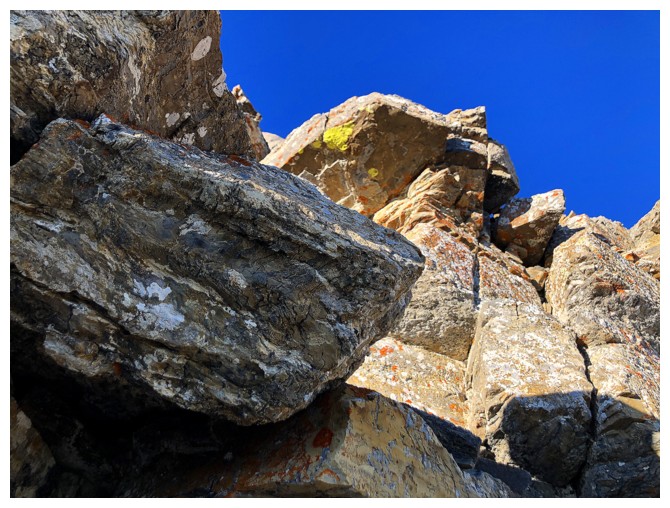
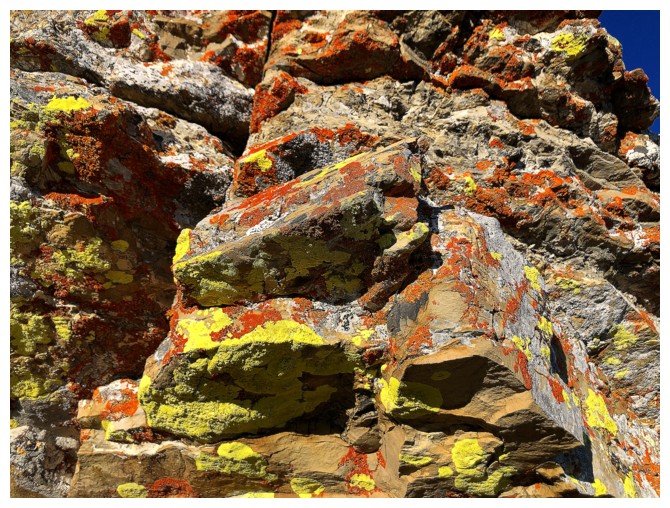
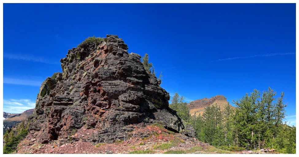
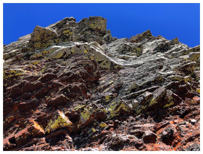
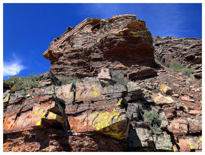
Not the last run-in with amazing, lichen-covered rock
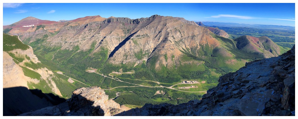
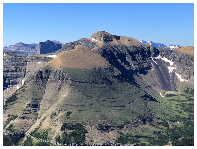
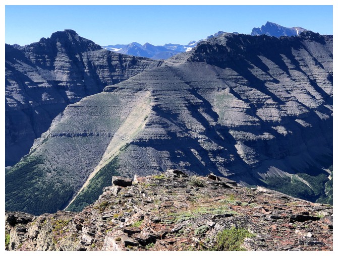
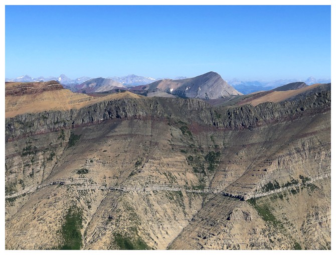
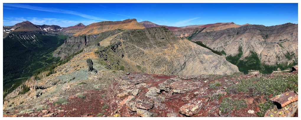
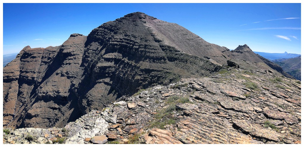
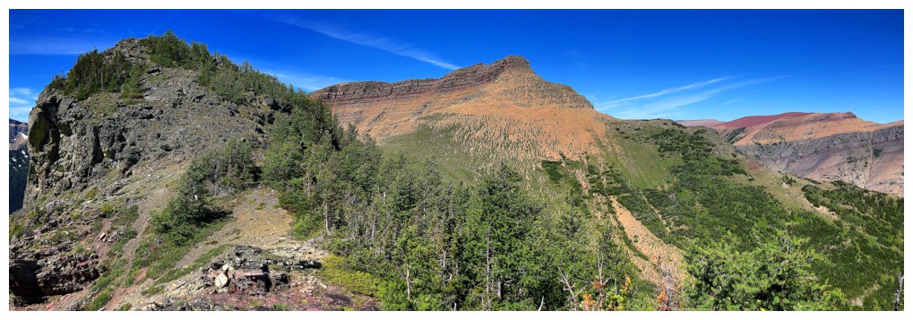
Loaf Mountain in its entirety. While the only official summit is at the
far left (Loaf Mountain), multiple visits over the years have yielded
several delicious and unofficial named summits for the massive
mountain: Pastry, Bakery, The Croissant, The Muffin.
The one and only true summit of Loaf
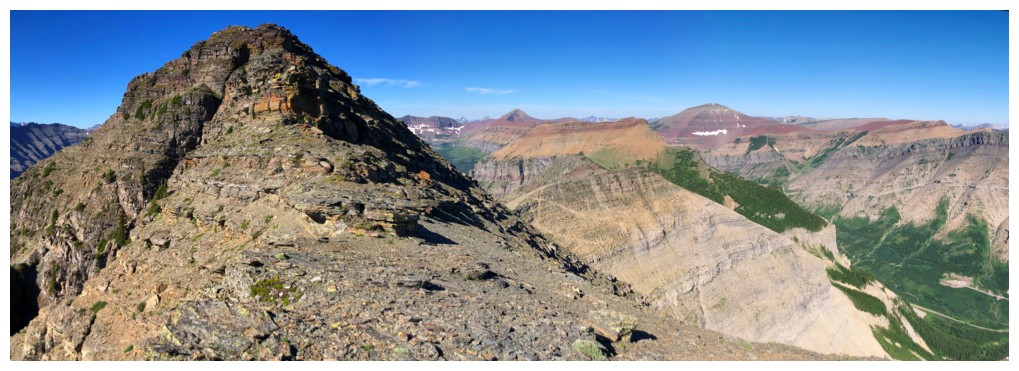
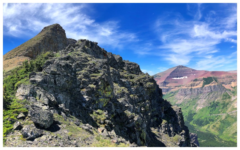
Still working my way over to the east ridge and enjoying great views
On the ridge checking out the precipitous south side of the mountain
A minor highpoint between Mount Glendowan and Newman Senior. The notch at the far left is the only challenge when traversing from one to the other.
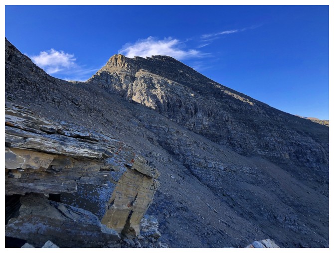
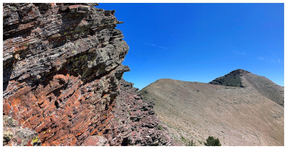
The summit is ahead but there's still tons of fun scrambling in between
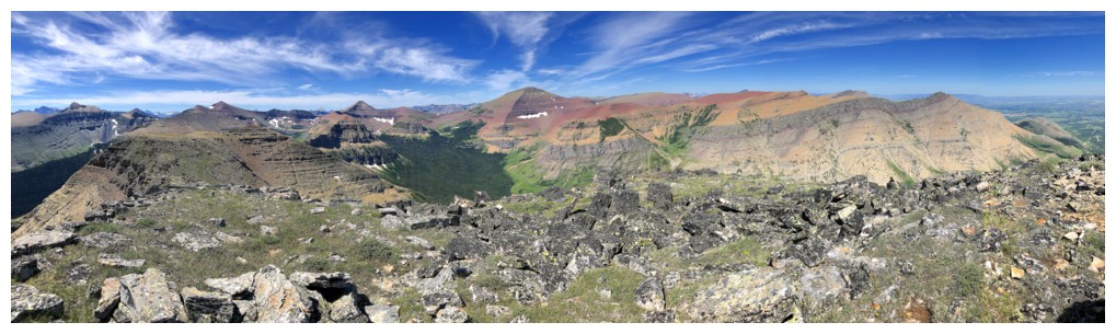
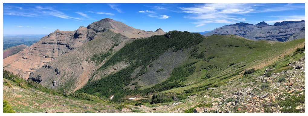
The north side of Yarrow Ridge is beautifully green at this time of the year. The south side is beautifully rocky and incredibly colourful.
Mount Dungarvan - still one of my favourites
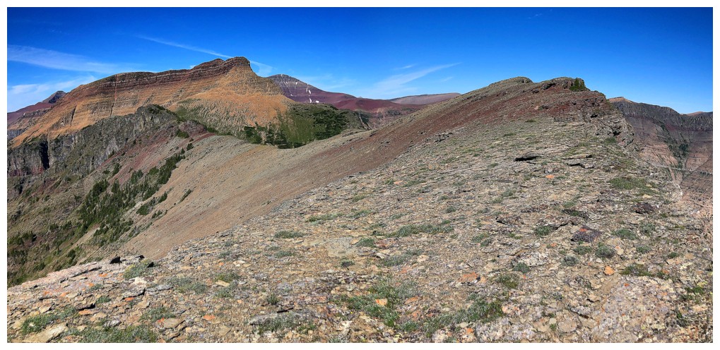
Looking back to a highpoint on the ridge
Approaching the next section of scrambling
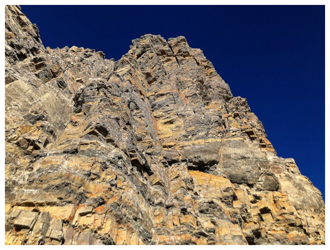
Needless to say, it's replete with fantastic rock
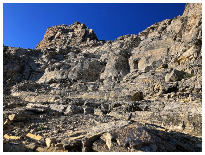
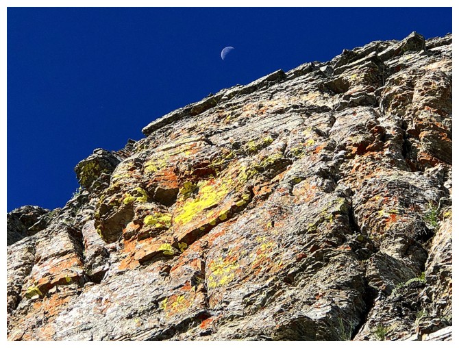
And the Moon is still with us
The sweet rock never ends!
Case in point
One more Moon shot
Wonderful contrast of rock and greenery to the southeast
Northeast view
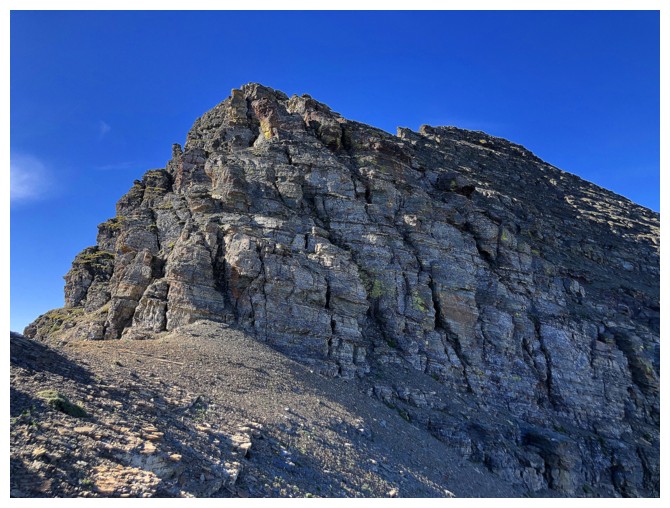
The summit block. Here's where things went a little sideways. The easiest route lies to the right but I went left. Why?
......because there was tons of this on the left side
And a lot of exposure. I ended up on a ledge near the top right.
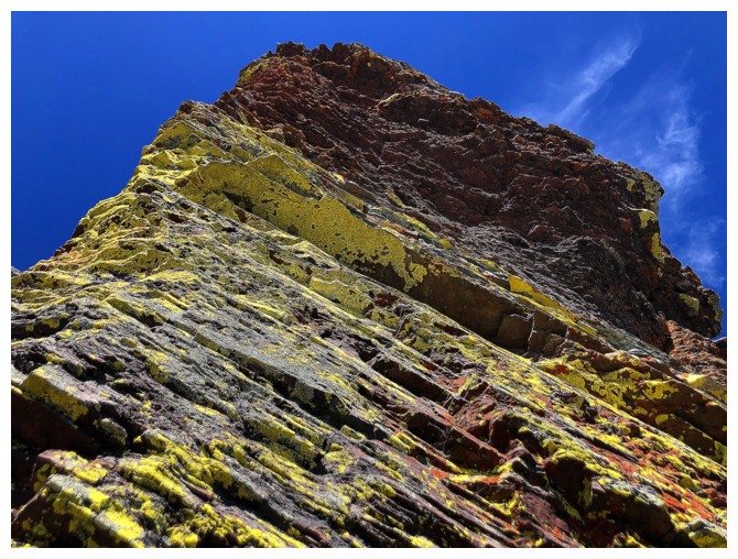
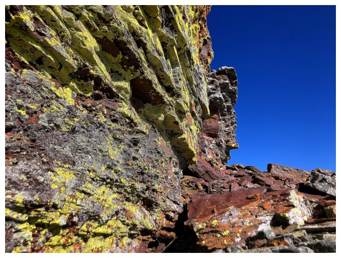
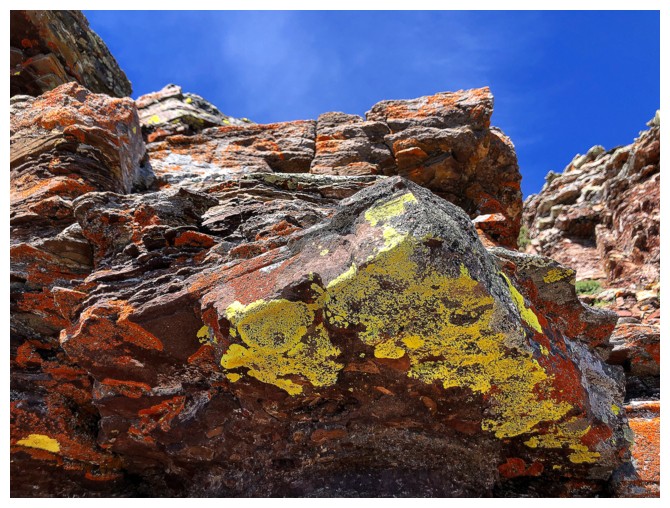
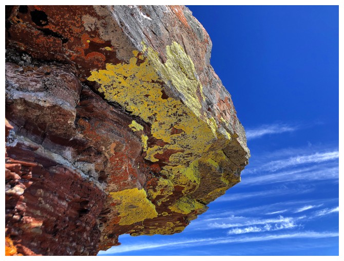
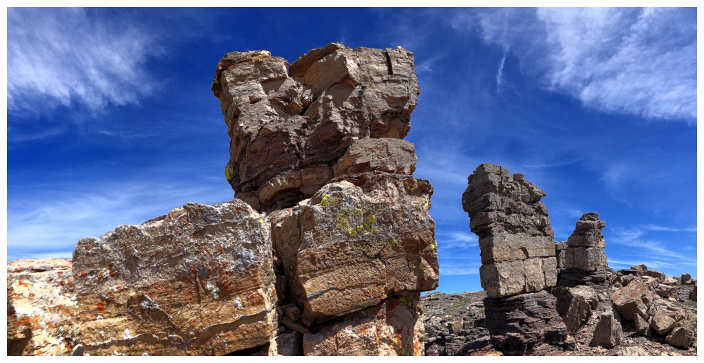
Yellow lichen on red argillite is clearly my Achilles Heel
Went alongside this awesome rock wall and up onto the a series of ledges
Cool, but not climbable
Not that one either - there's a nasty drop down the other side
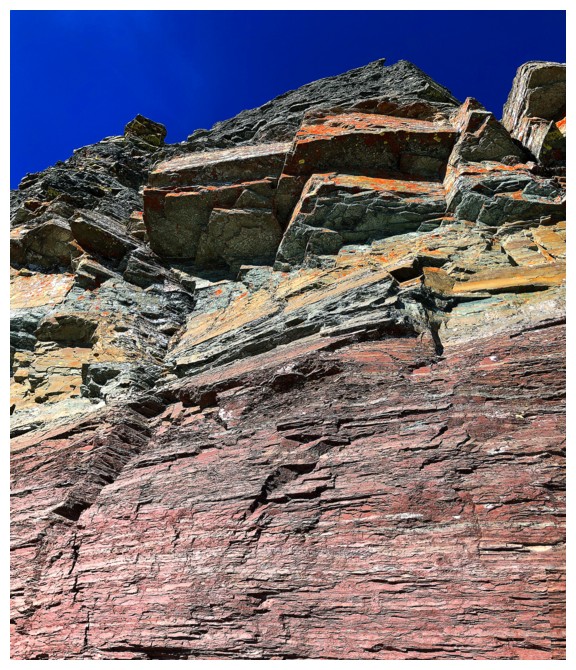
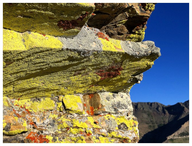
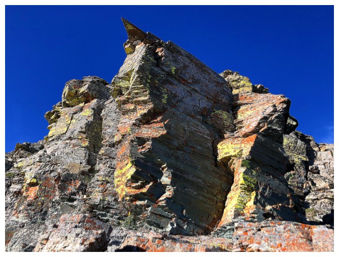
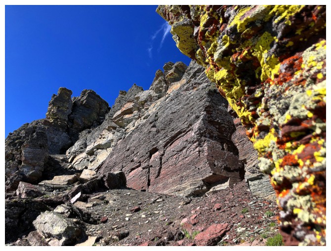
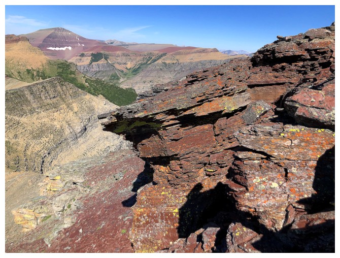
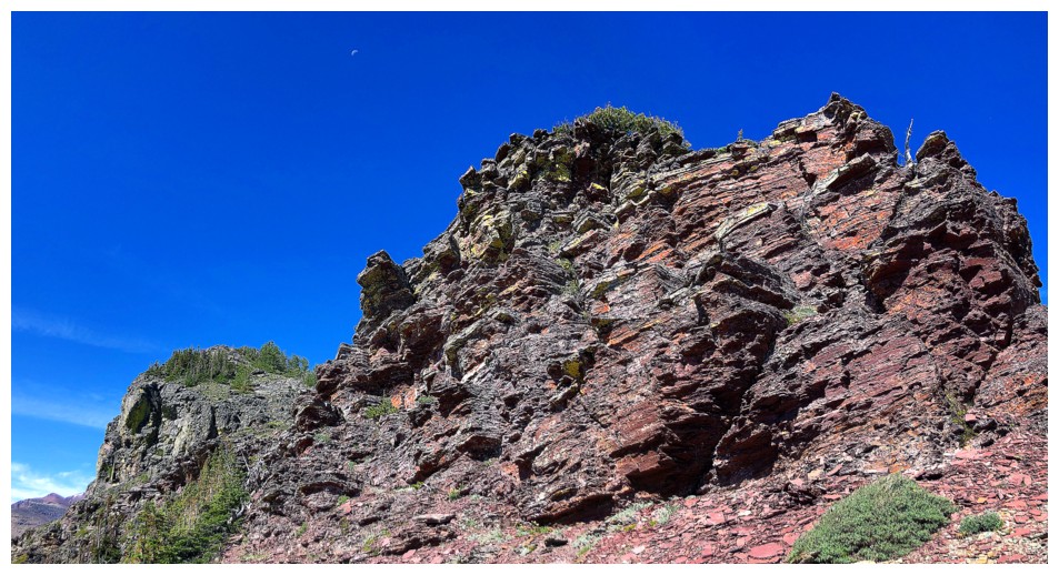
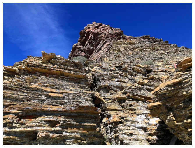
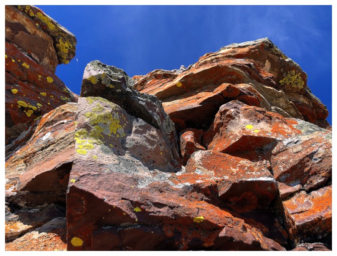
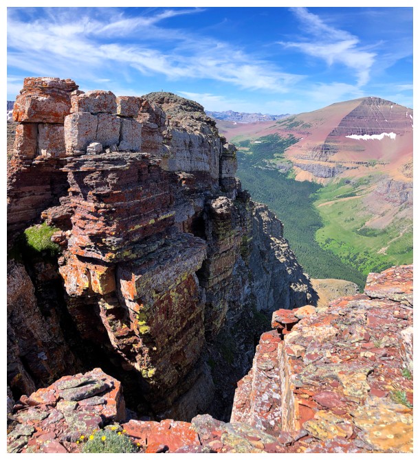
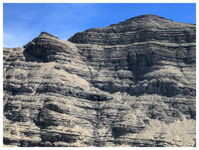
Striking layers of different coloured rock
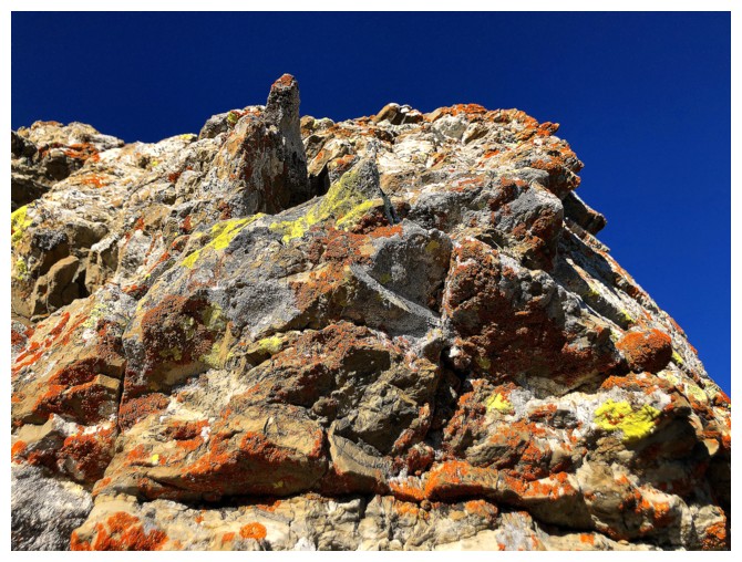
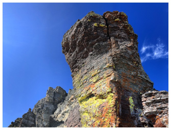
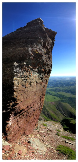
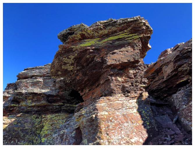
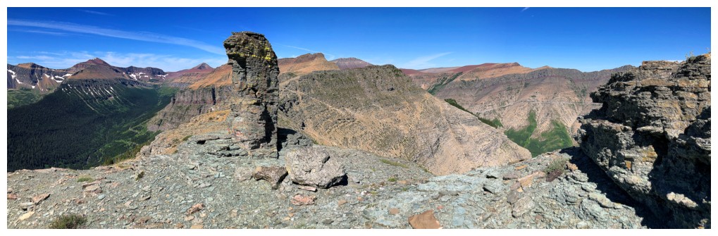
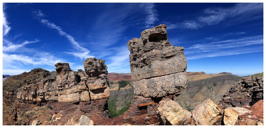
Another cool pinnacle
Closing in on the trouble!
Looking back before a few tense moments
Back to the safety of the ridge and the ever-improving view
Last little stretch to the summit and the view to the northwest
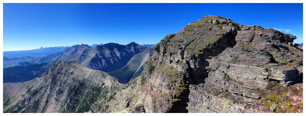
Same as above and the view to the southwest
Same as above with a little of both sides
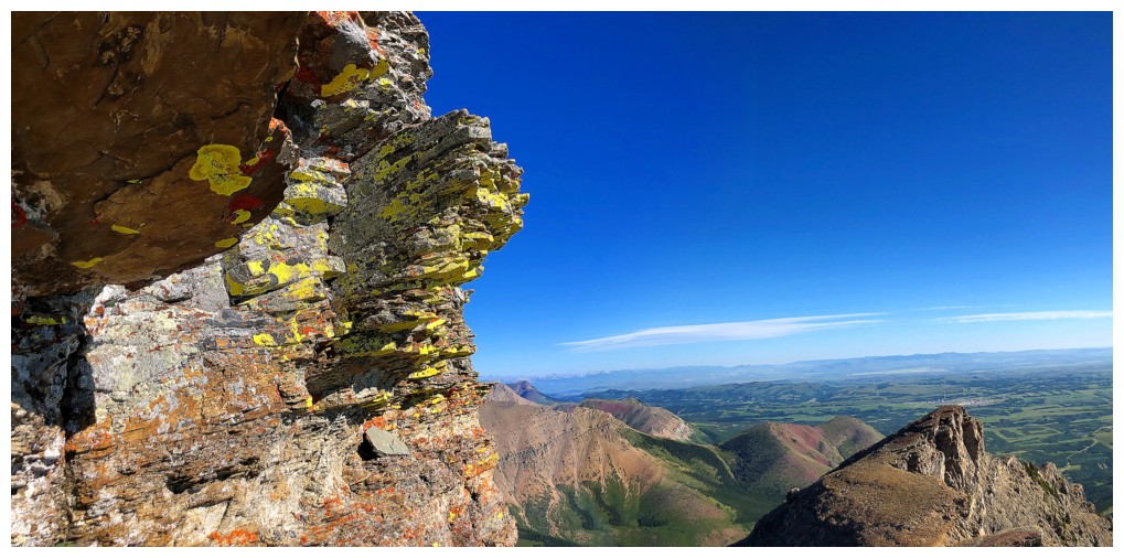
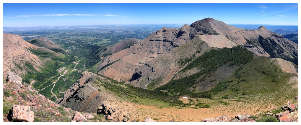
Summit view, southwest, west, and northwest
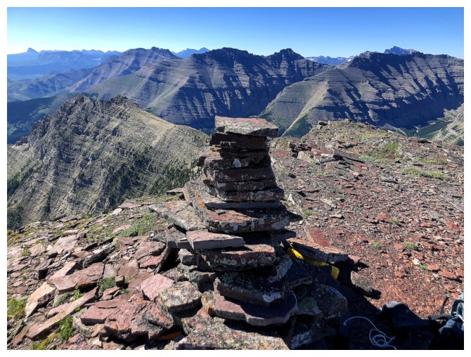
The cairn
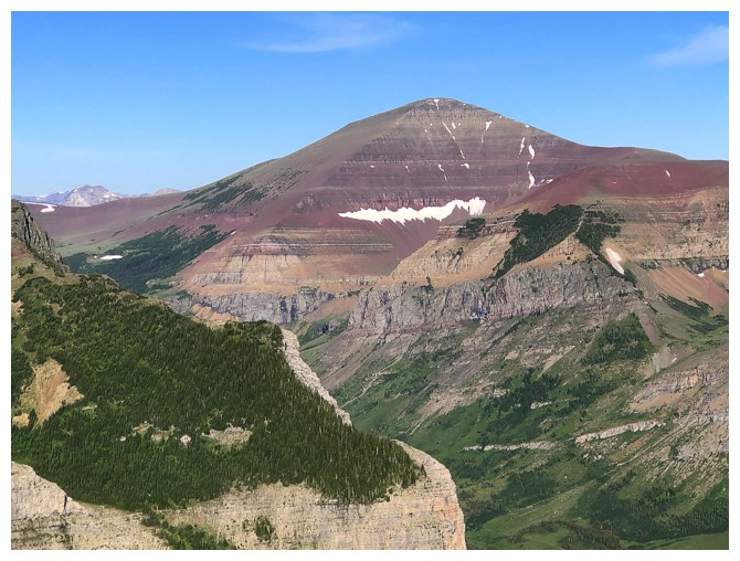
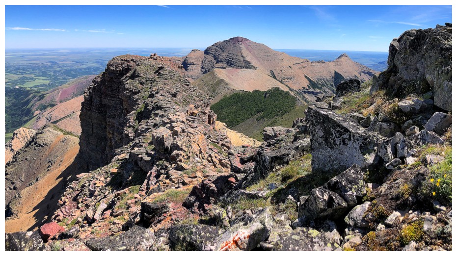
Mount Glendowan. Would love to attempt it from the east side.
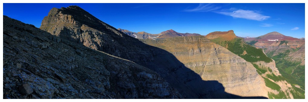
Cloudy Ridge (left) and Cloudowan Peak (right)
Mount Dungarvan (left) and distant Mount Cleveland
Cloudy Ridge Junior and Cloudy Ridge
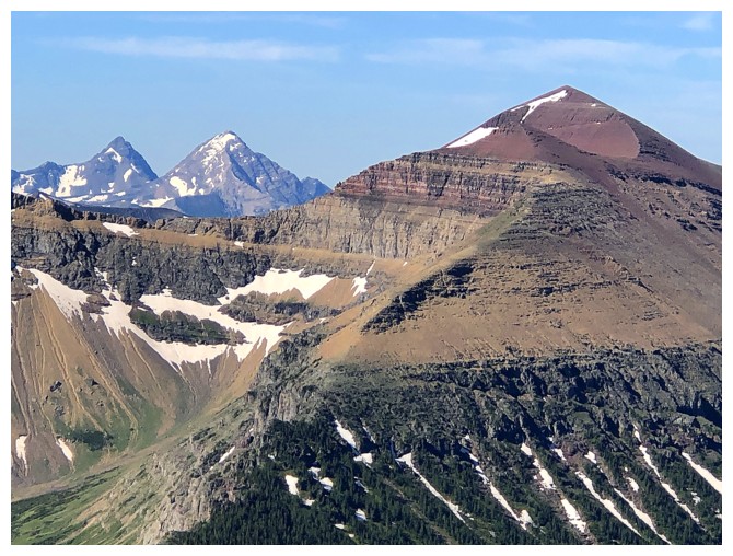
King Edward, Starvation, and Newman Senior
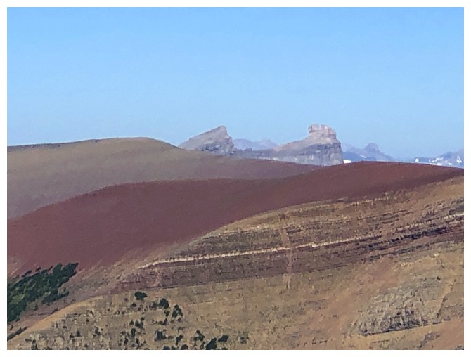
The summit of Spionkop Ridge
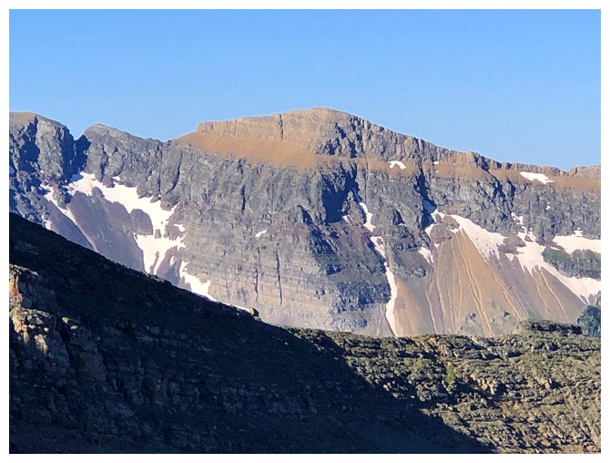
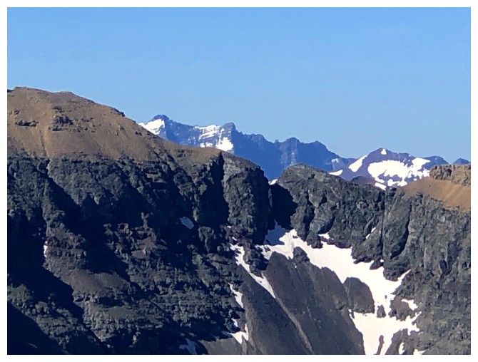
Victoria Peak in the distance - first mountain I scrambled in southern Alberta. Note the prominent
limestone rock band running across the face of Loaf. Same one as for
the crux on Spread Eagle and many other mountain in the area.
Looking lovingly down at The Croissant and The Muffin - two minor
outliers of an outlier that have provided so much enjoyment over the years. The
red argillite slopes between the peaks are simply magnificent.
Windsor Mountain and Castle Peak
Had to get a shot of distant Long Knife Peak, even if you can only see a fraction of it.
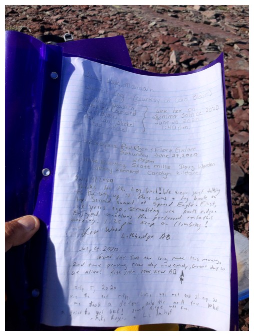
The first page of summit register, courtesy of Gord Blair
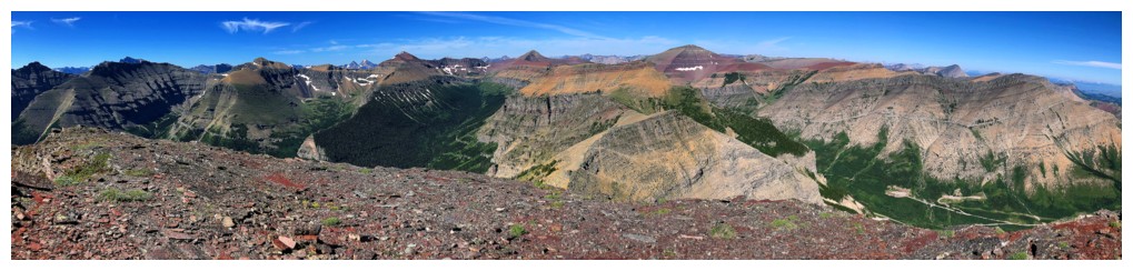
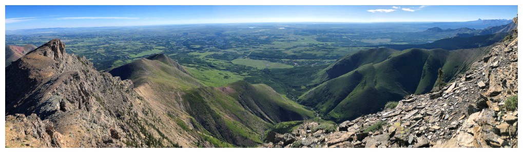
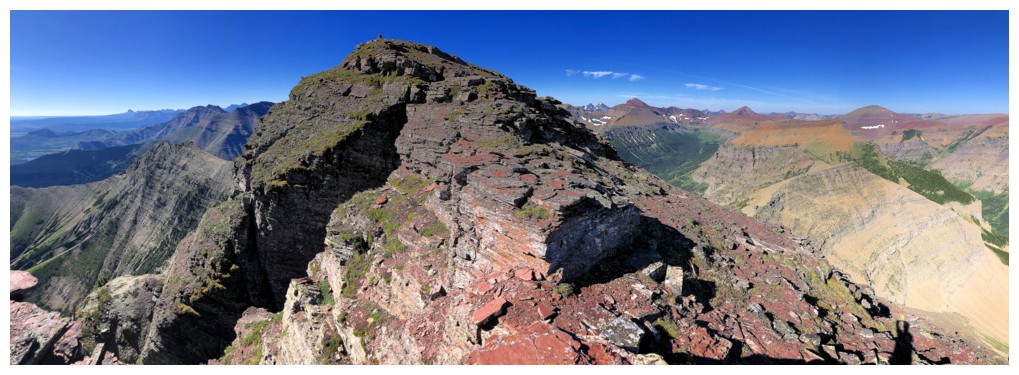
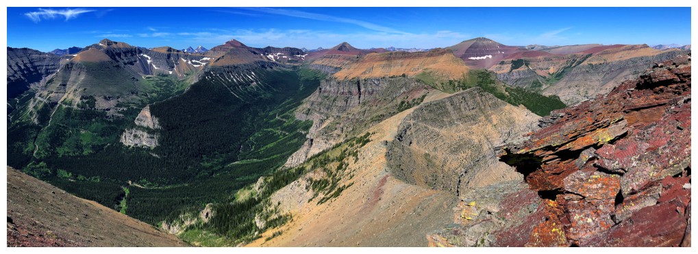
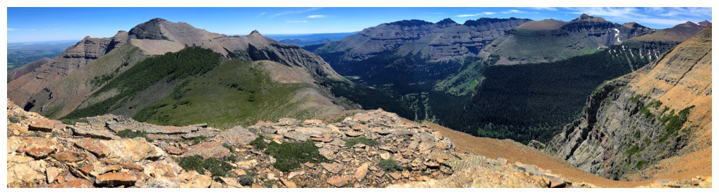
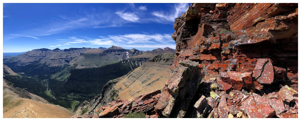
Summit pano #1
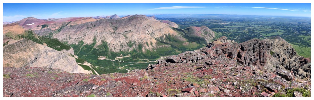
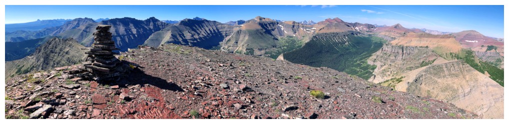
Summit pano #2
Starting down towards the West Summit
Yet again getting side-tracked by yellow on red
Closer look with Loaf
View from down below
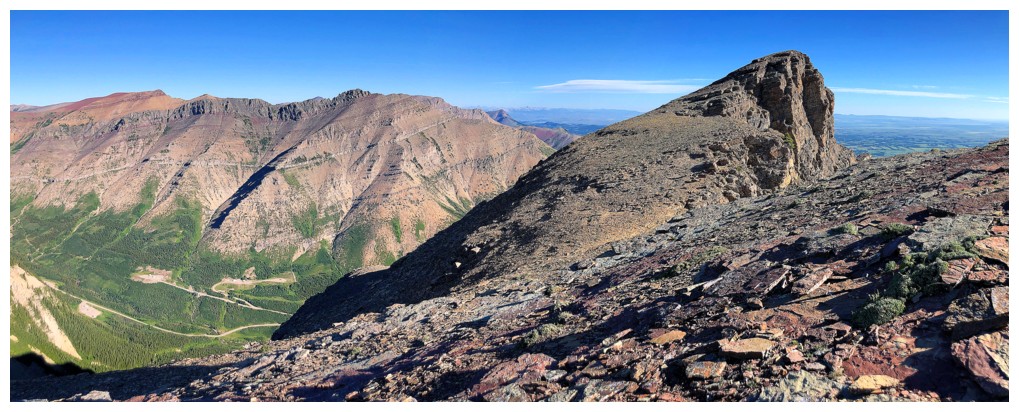
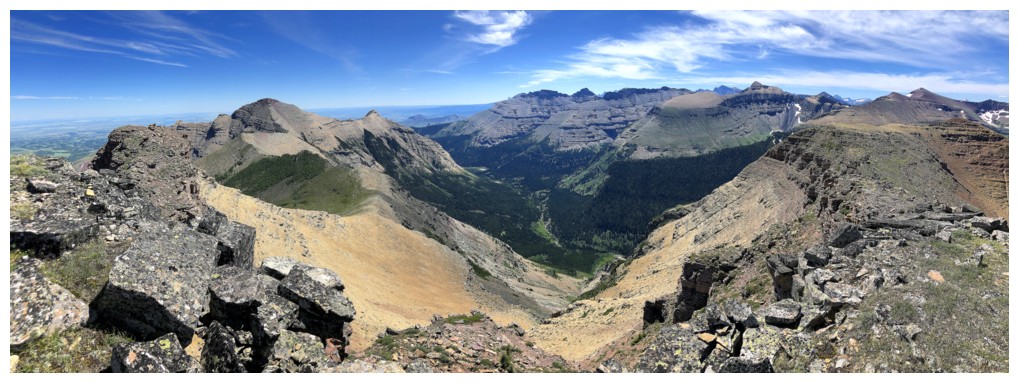
The awesome massif of mountains that goes from Bellevue Hill to Avion
Ridge would be the ultimate high-level traverse, but would take a few
days. Along the way you summit Bellevue Hill, Galwey, Rogan, Dungarvan, Dundy, Cloudy Ridge, Cloudowan, Glendowan, Newman Senior and Peak, and Avion Ridge (unofficial summits in green).
Easy travel down towards the col
Very random pinnacle on the ridge
Even easier travel with alluring views to the West Summit
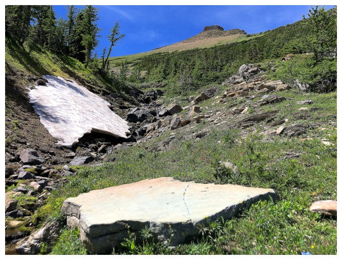
There are several points along the way that are worth an extra look
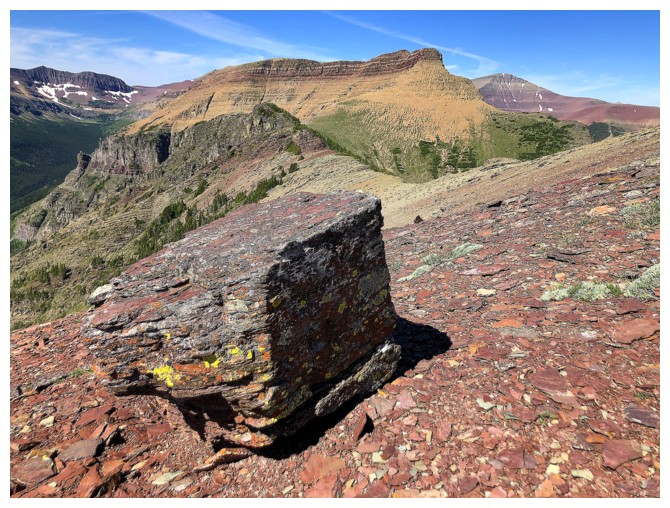
Including this random block
Looking back to Spread Eagle and Mount Yarrow at the right
Close-up of Yarrow
The red rock band at the left is the next interesting point
Same as above with a chuck of Loaf thrown in at the right
Approaching the red band
Decided to go around the left side of it
Not surprisingly, it's riddled with defined layers of lichen-covered rock
Same as above
There will be lots of looking back to the summit of Spread Eagle
The next cool point in the igneous rock at the left
Can't resist
Speaking of alluring and irresistible - that West summit is both
Lichen-covered magma
The initial ascent slopes of the West Summit
Still have to look back to Spread Eagle
And other things
Mid-way up
Of course this slope has its share of crazy, cool rock
Like this
...and this
...and this
...and this
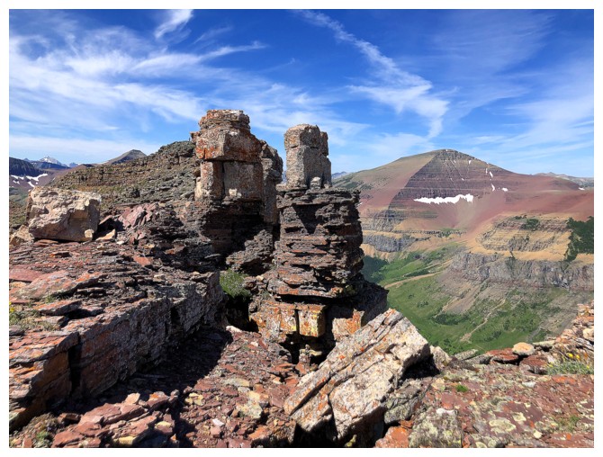
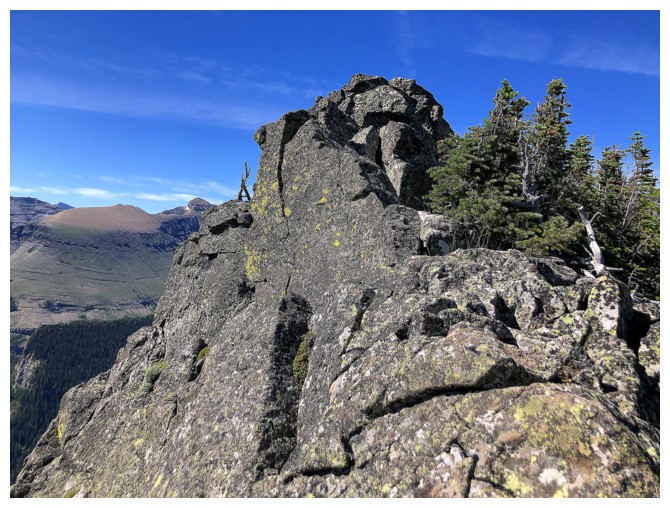
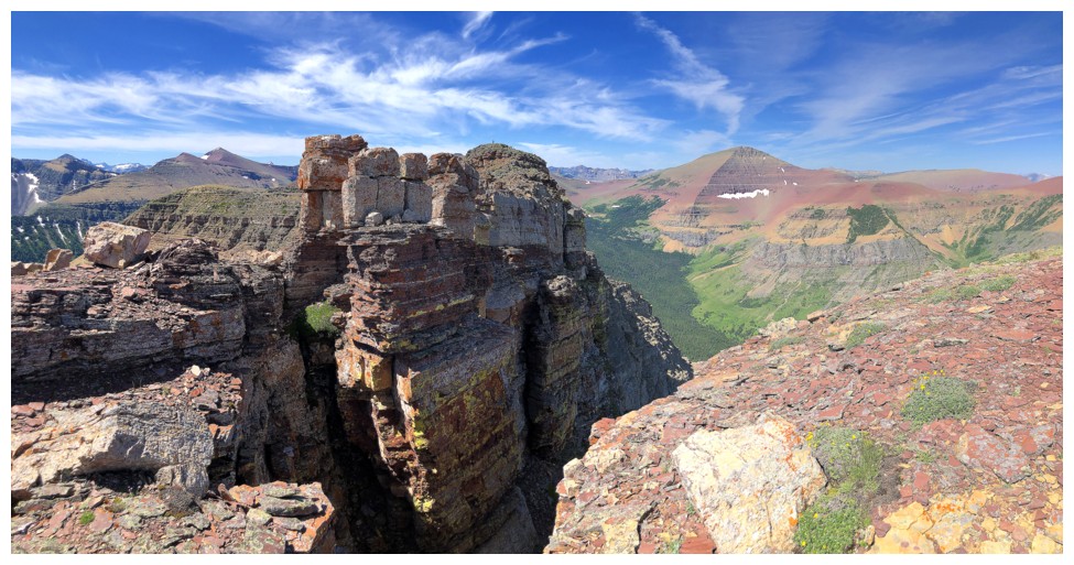
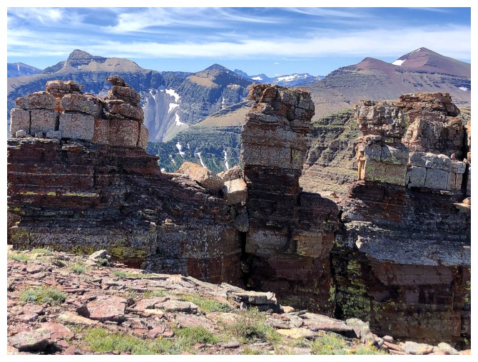
At the pinnacles atop the ridge. They are very unique and of course deserve tons of photo love.
But first, a look back to where I came from
Pretty cool colours and rock formations
Same as above
...and again
Loaf Mountain looks even more colourful now
The summit cairn of the West Summit is clearly visible
Back to this scene
For variety of colours, The Castle and Waterton are unbeatable
The ascent route goes a short ways along the left side of the pinnacles
then makes an exposed step up the pinnacle just left of center
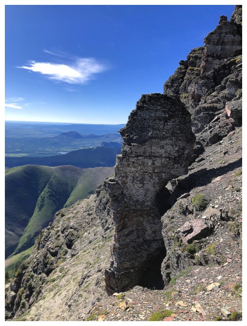
The big pinnacle appears to be smiling. I would be too if I lived here!
Past the pinnacles its an easy scramble to the summit
The summit cairn is a pretty cool balancing act. The summit view to the east is just cool.
Not bad to the north
And the southeast
Descent time
Back at the pinnacles
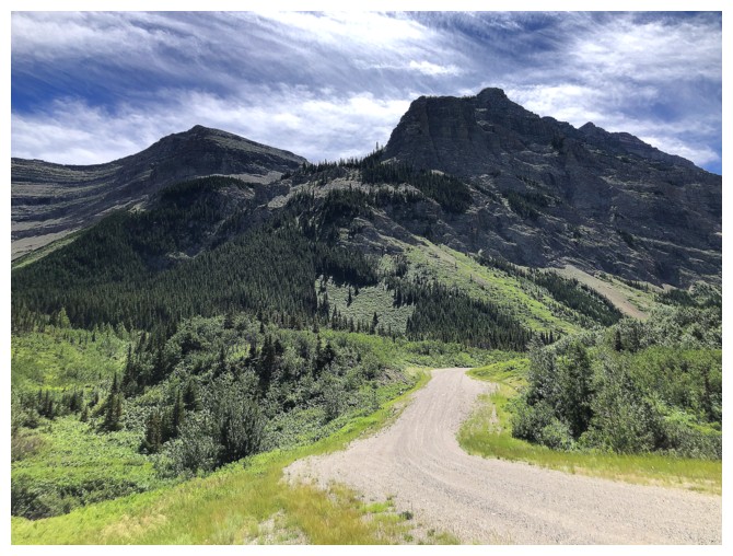
Looking down to the gas road below. I followed the ridge at the right before dropping down into the valley at the far right.
The aforementioned valley
Looking back up the ridge
Same as above, with a big chunk of Loaf
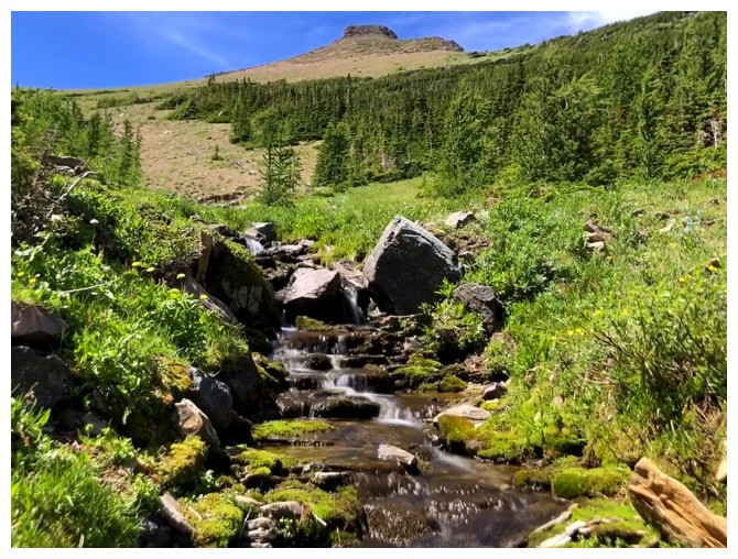
A small stream in the valley provides more scenic delights
Big slab of rock and the West Summit
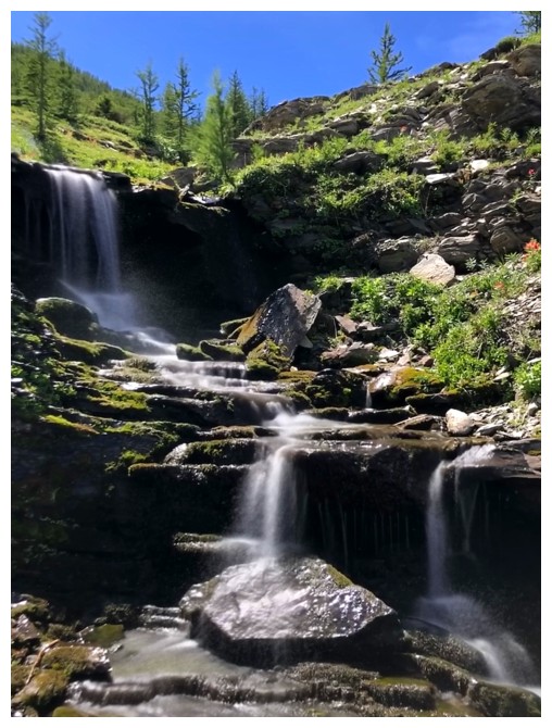
A few very small waterfalls along the way
Pastry, Bakery, and the very challenging east end of Loaf
The ridge I ascended several hours earlier
Typical terrain on descent
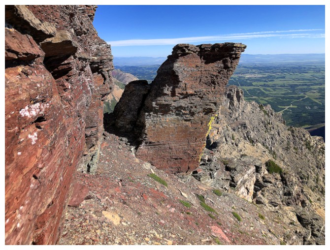
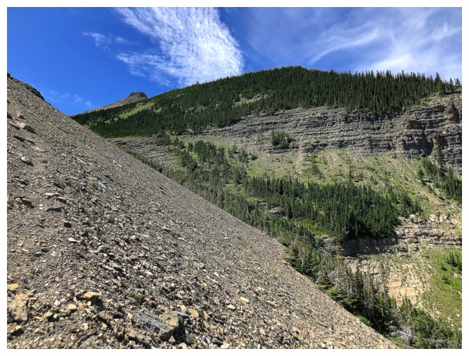
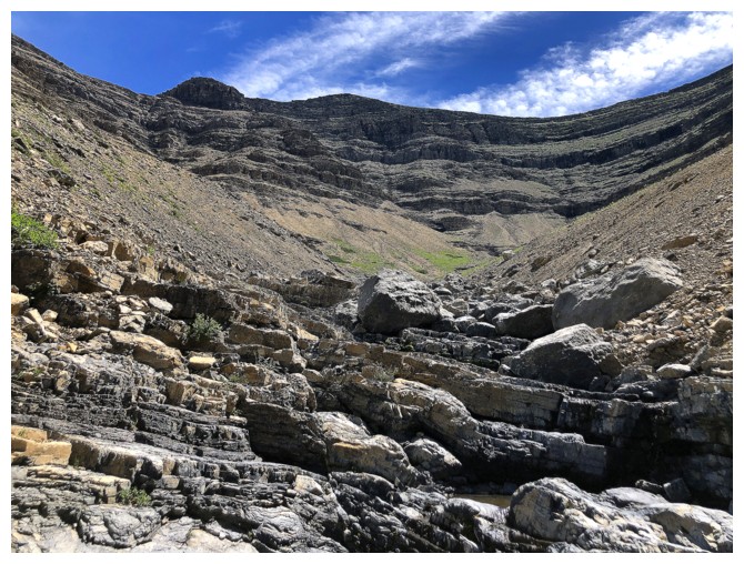
The displacement of the crux rock band is quite evident here, in the centre of the photo
Fun travel on water-worn rock back in the drainage
Same as above
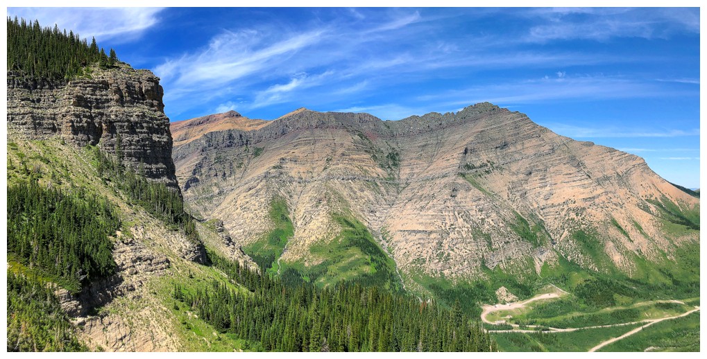
Ascent route at the left, descent at the right
The only clouds of the day made for some interesting skies
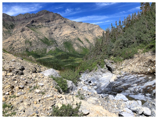
View of the route from where I left my bike
Back where it all began
The End
LOG