Woody VI
April 25, 2020
Mountain height: 2037 m
Elevation gain: 530 m
Round-trip time: 5 hours
Solo scramble.
I didn’t expect the floodgates of “fantastic new routes” to open when
last year Dave McMurray and I decided to ascend all the eastern Castle outliers
as winter or shoulder season trips. 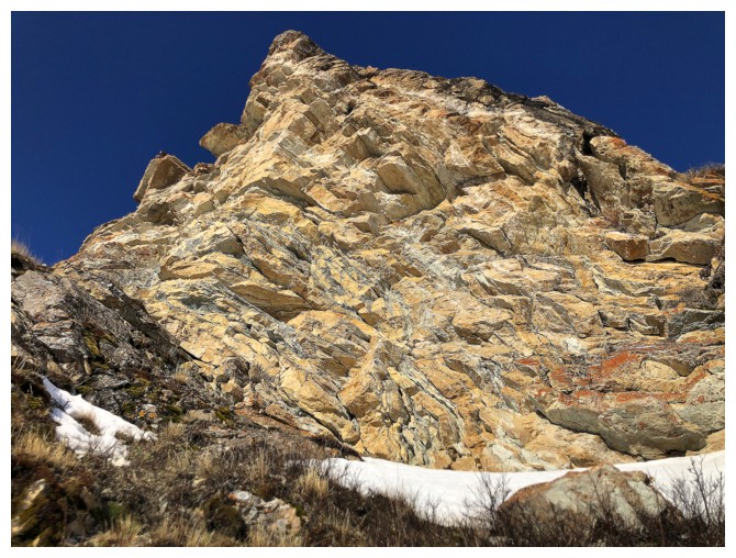 But they did! It’s simply shocking how many
different and completely unique ways there are up each of these little gems. The
day’s exploration around the south side of the outliers of Mount Drywood was no
exception.
But they did! It’s simply shocking how many
different and completely unique ways there are up each of these little gems. The
day’s exploration around the south side of the outliers of Mount Drywood was no
exception.
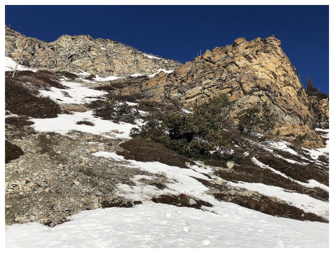
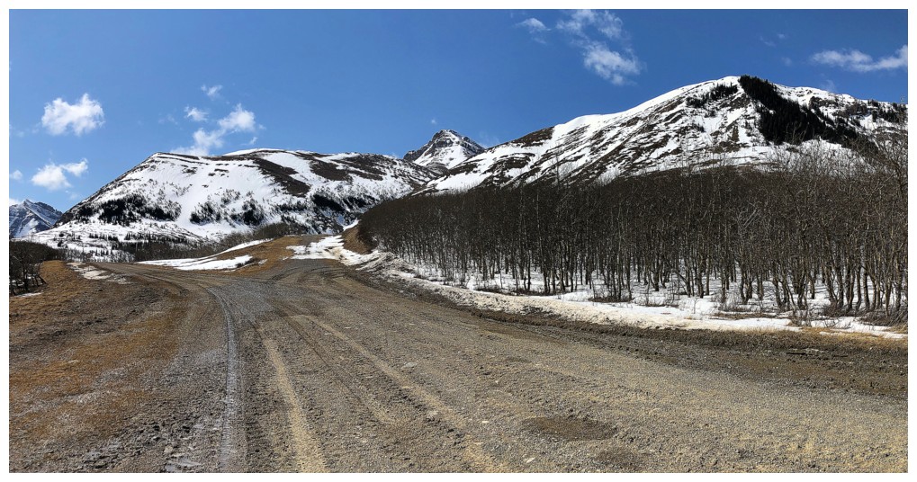
The ascent started with the usual hike up a gas road. Having approached
the outlier from two different gas roads last year, I decided that the upper gas road was a preferable approach to the lower one. After
gaining some elevation up the east side of the outlier, I began a long
(time-wise, not in terms in distance) but amazing traverse around the peak. The
lengthy time can be attributed not to difficulty of travel, but to the
outrageous rock scenery throughout. As well, as I couldn’t resist exploring a
couple of lines up through the fantastic rock. I backed down from each route,
as I had vowed to go around the entire face before starting upslope.
Eventually, the wall of rock ended and an easy route up the south side
of the outlier presented itself. The remainder of the trip unfolded much the
same as my previous visits. With almost perfect weather, the red argillite
section before “Stumpy” was outstanding and I did take a slightly different
route from the summit of “Woody” back to the start.
An outrageously beautiful trip – with at least two more potential routes
up this trio of minor highpoints around the southeast side of the mountain,
Woody VII and VIII are forgone conclusions.
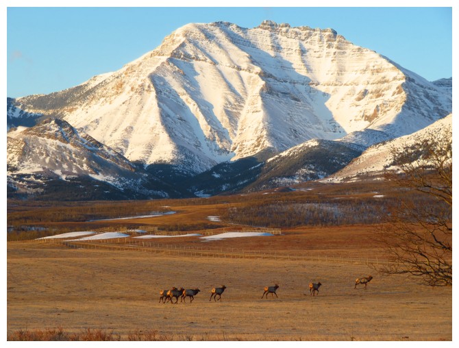
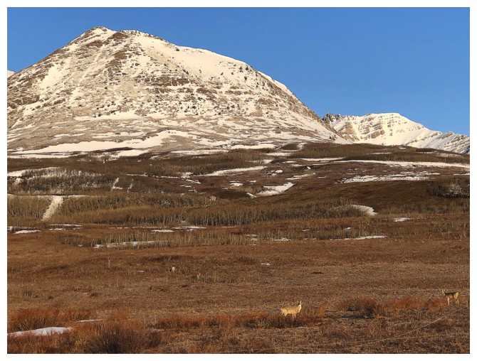
Some elk and Mount Dungarvan
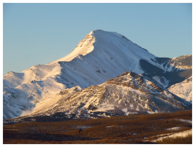
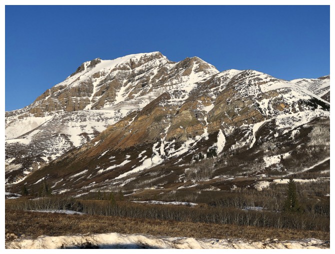
Rogan Peak - a photo favourite
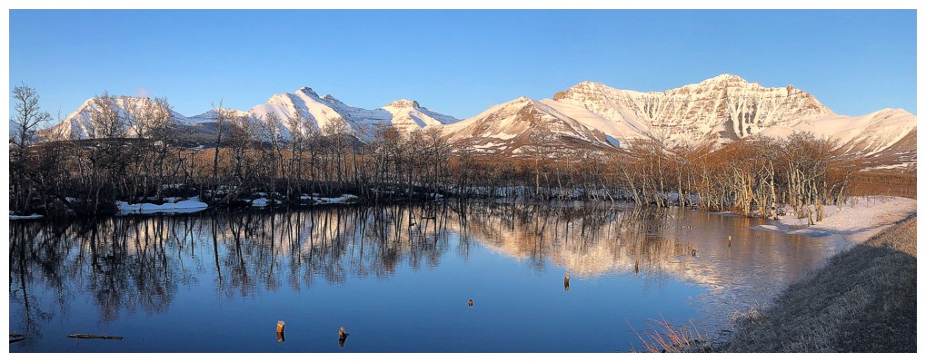
Water reflections are a rarity in southern Alberta, because of the wind. Better stop to enjoy when one occurs!
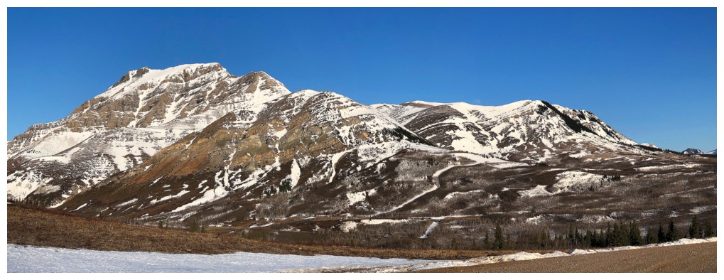
Dungarvan, Cloudy Ridge Junior, Cloudy Ridge, Cloudowan, Yarrow Ridge, Mount Yarrow, Mount Roche, and The Raptor provide a decent background.
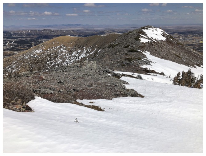
More wildlife below The Eaglet
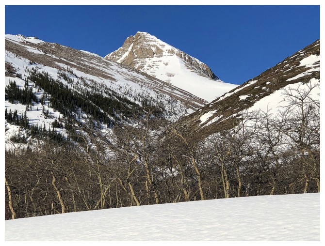
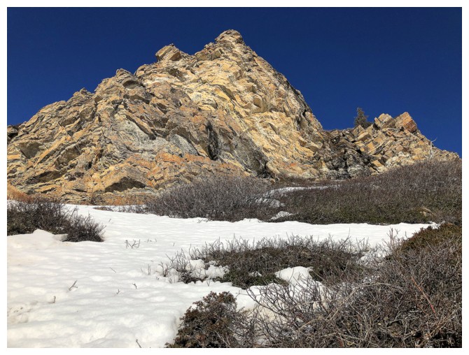
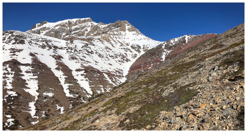
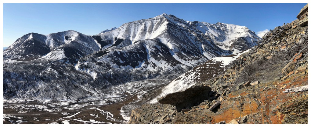
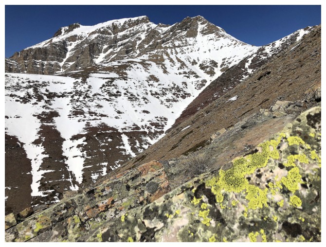
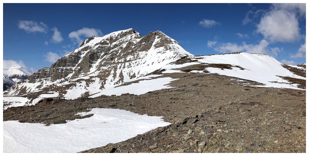
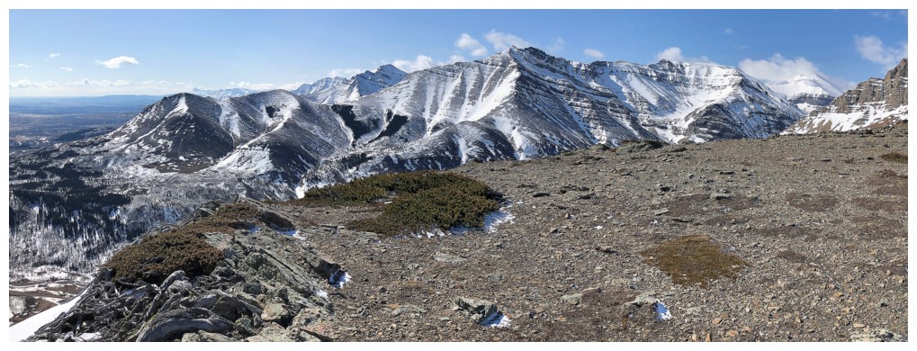
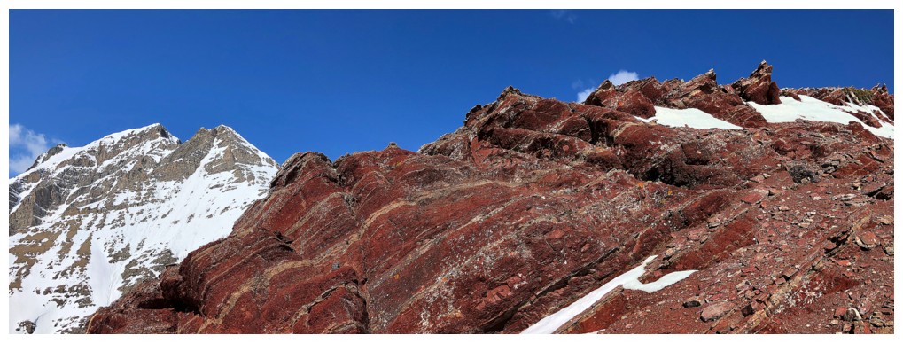
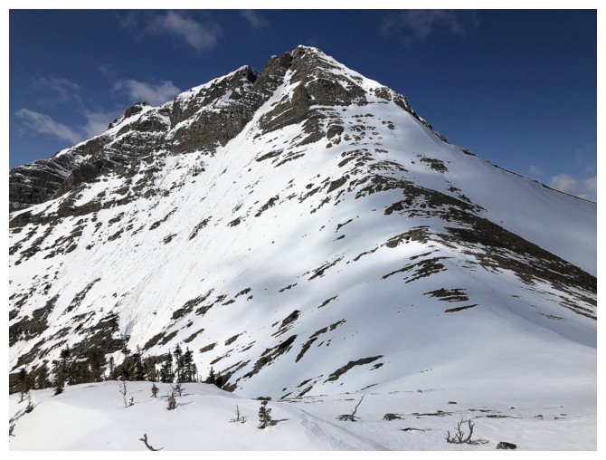
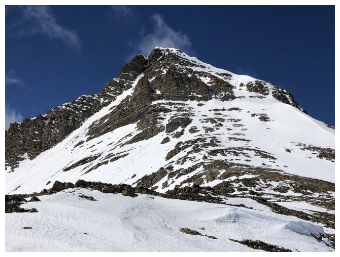
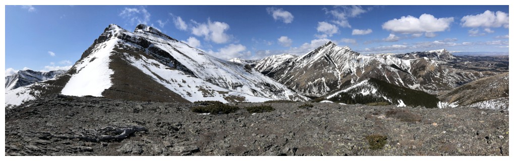
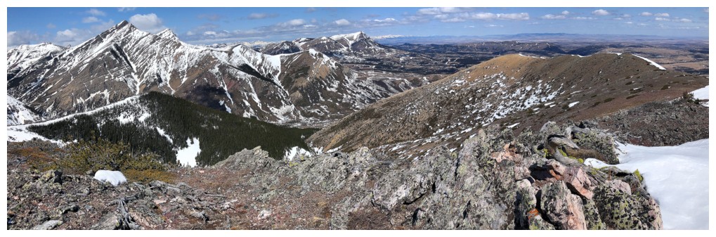
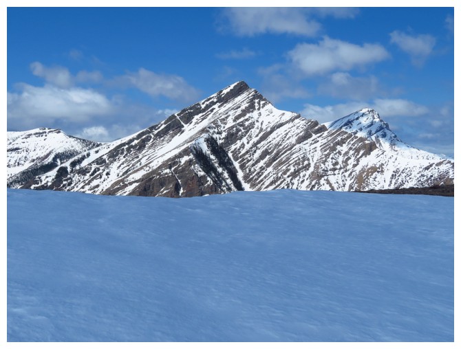
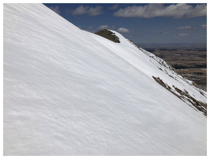
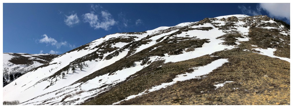
Drywood Mountain and the objective at the right. The route I took traversed the south side and then ascended from left to right.
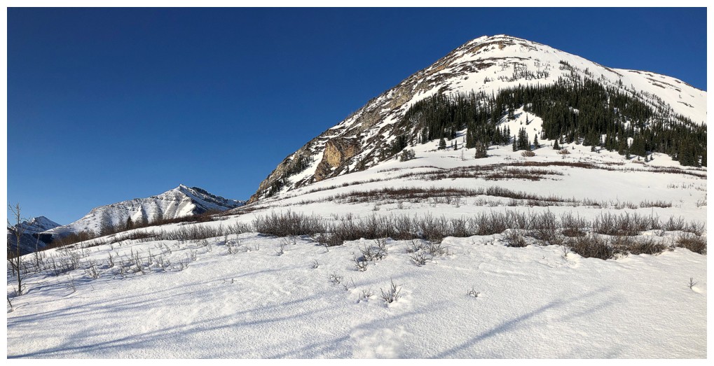
Bigger view of Drywood, including the northeast ridge - a very enjoyable route in itself.
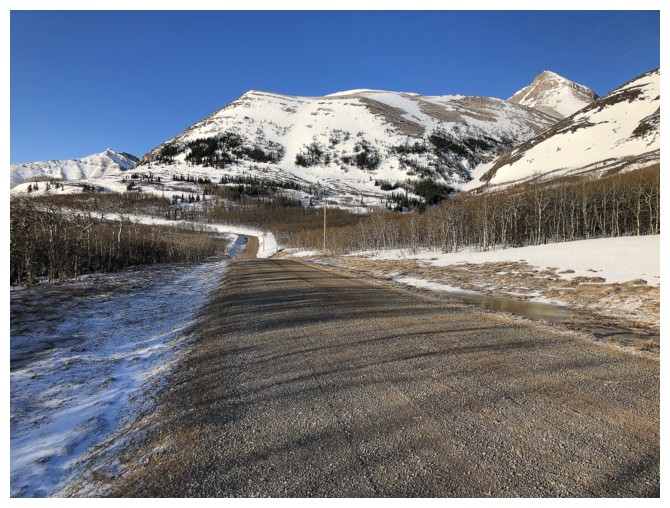
Hiking the gas road once again
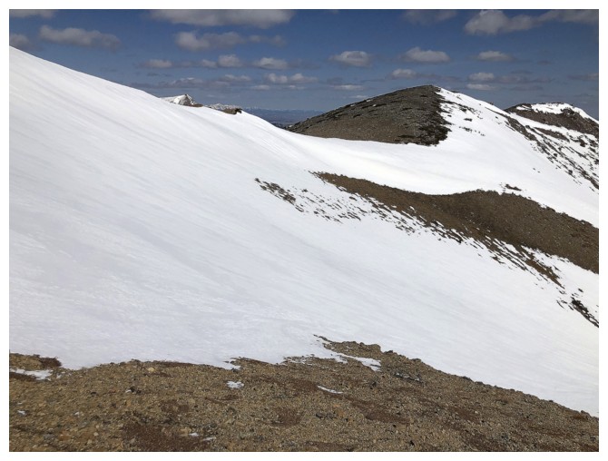
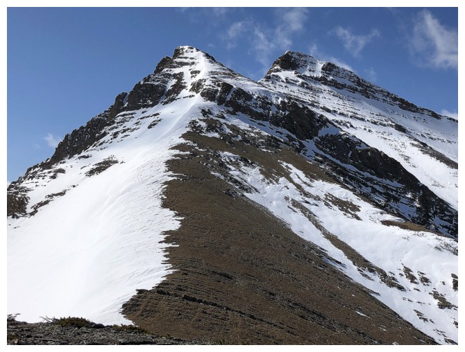
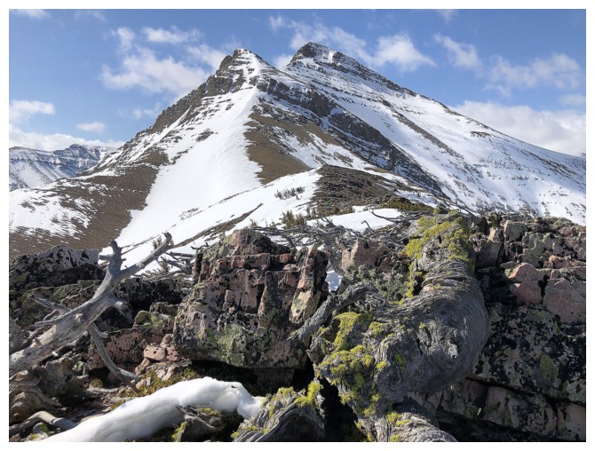
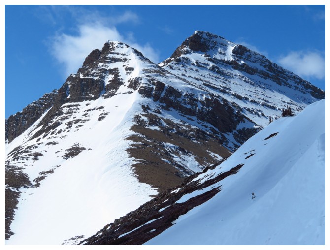
The false summit of Drywood Mountain
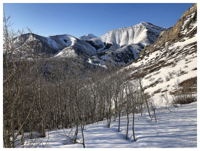
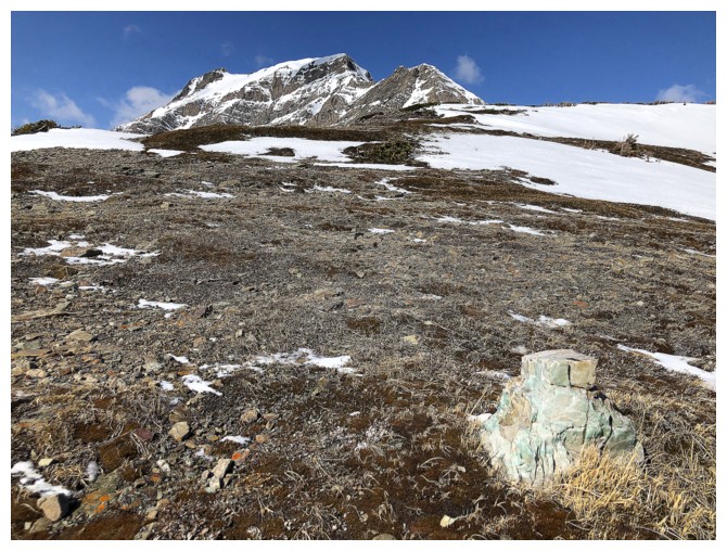
Two previous ascents have gone up the outlier here, near the interesting rock band in the centre
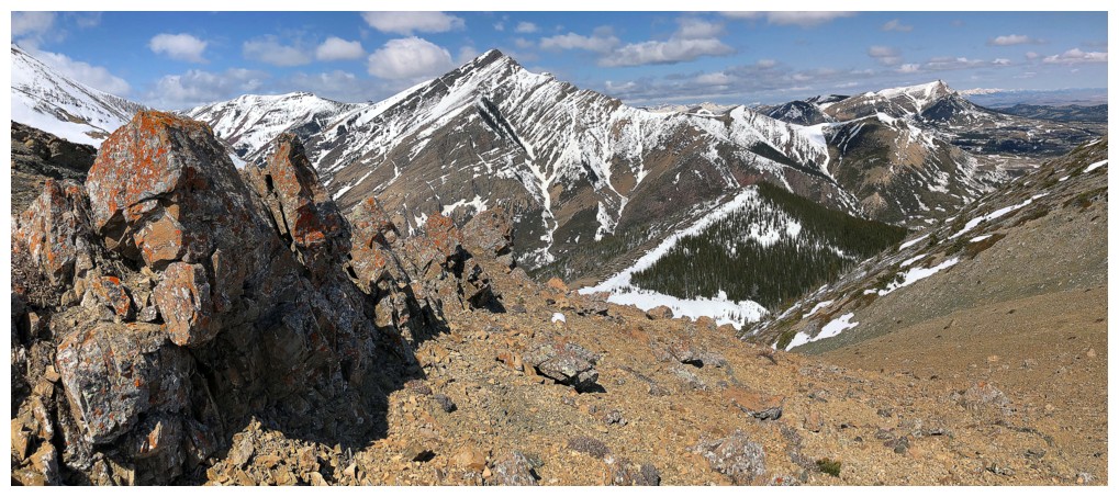
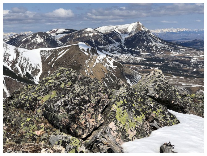
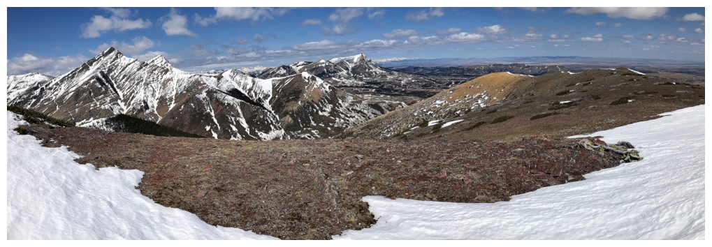
Looking over to the peaks of a few of my favoruites ascents of all time:
Bakery Peak
The Muffin
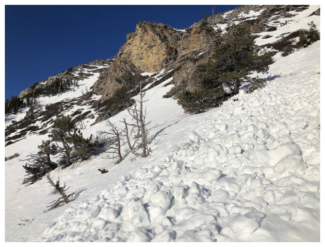
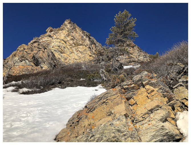
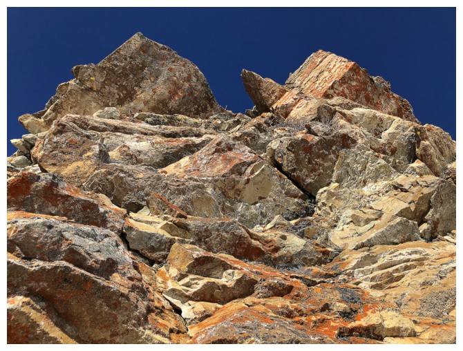
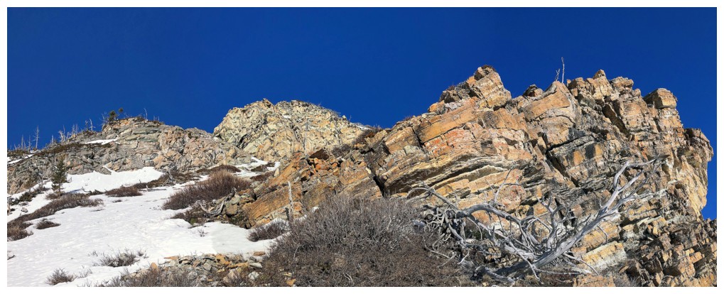
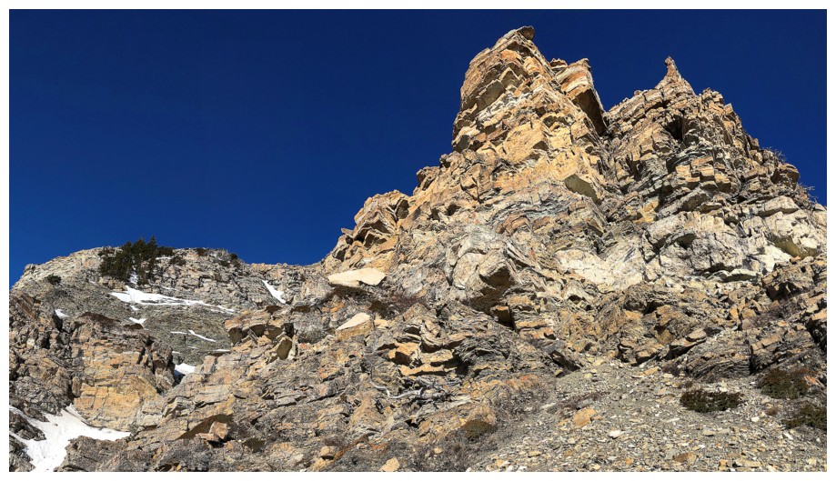
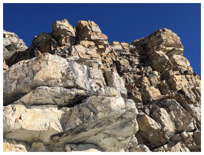
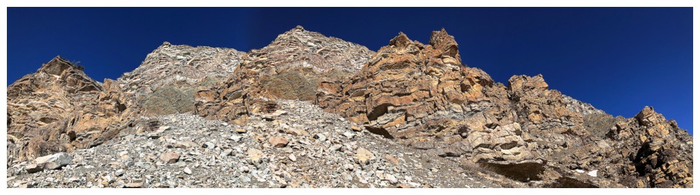
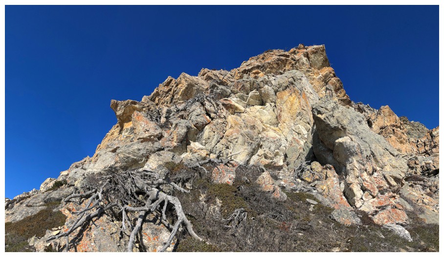
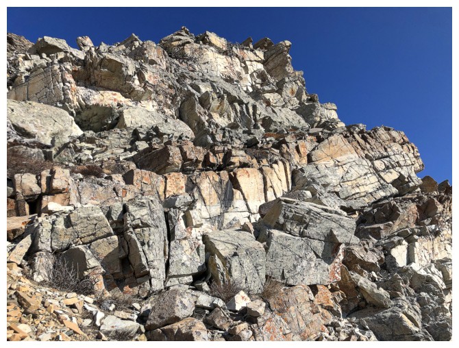
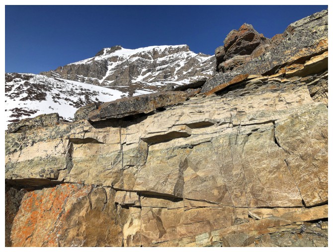
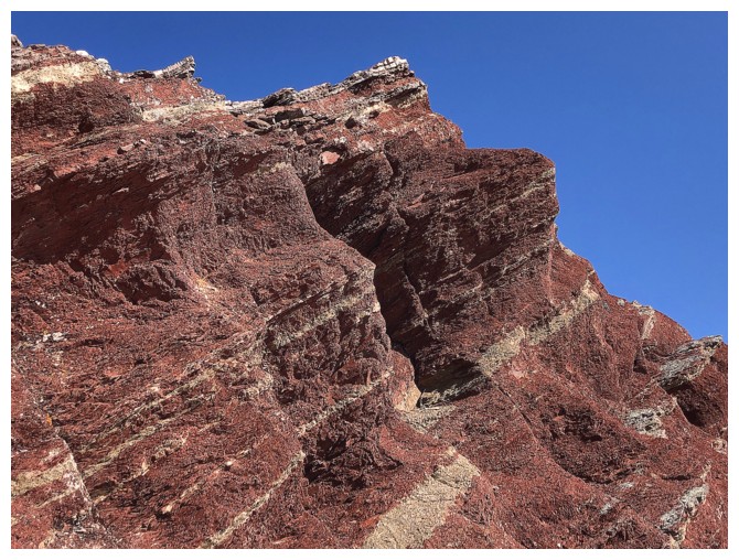
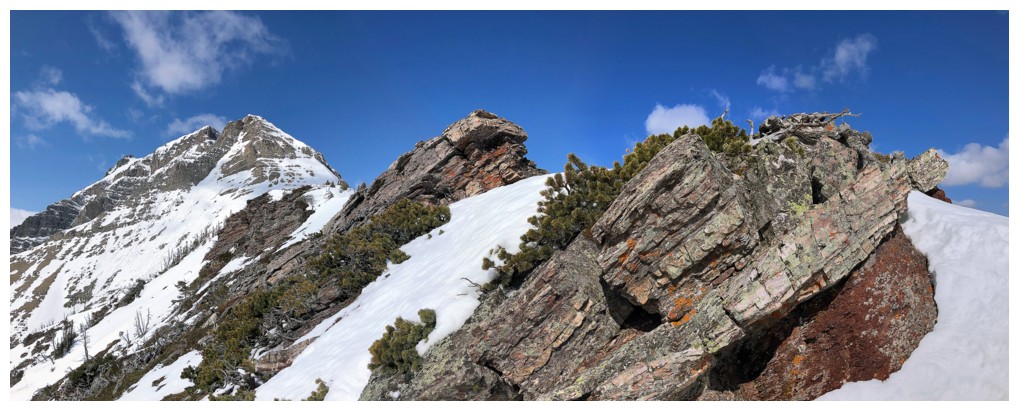
Approaching one of the coolest the rock bands on the mountain
A bunch of photos to prove it:
Another glimpse of The Muffin and The Croissant
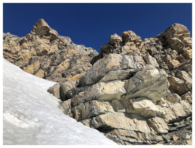
Moving one to the next cool rock band
...and the next
...and the next
...and the next
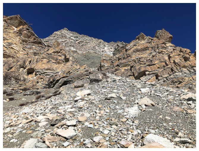
Took a short detour up this gully to check out a potential route for future ascents
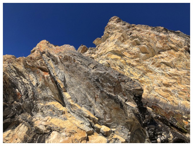
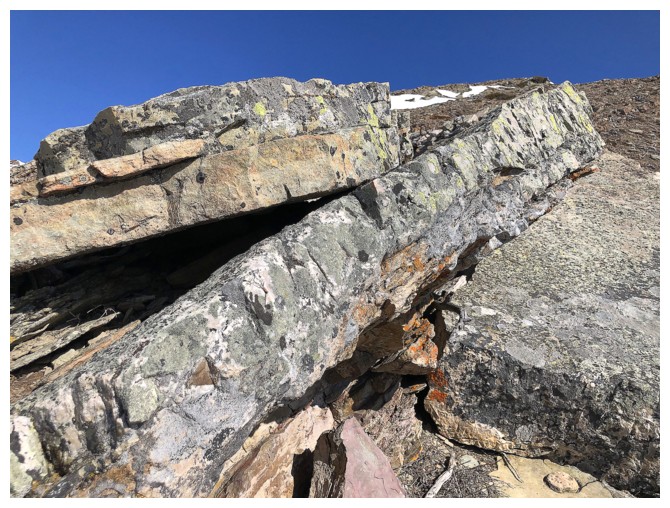
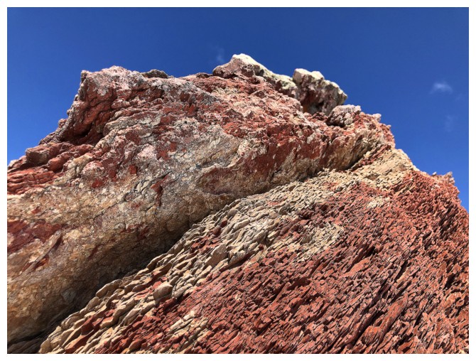
Amazing rock en route
Definitely looks good for a route up
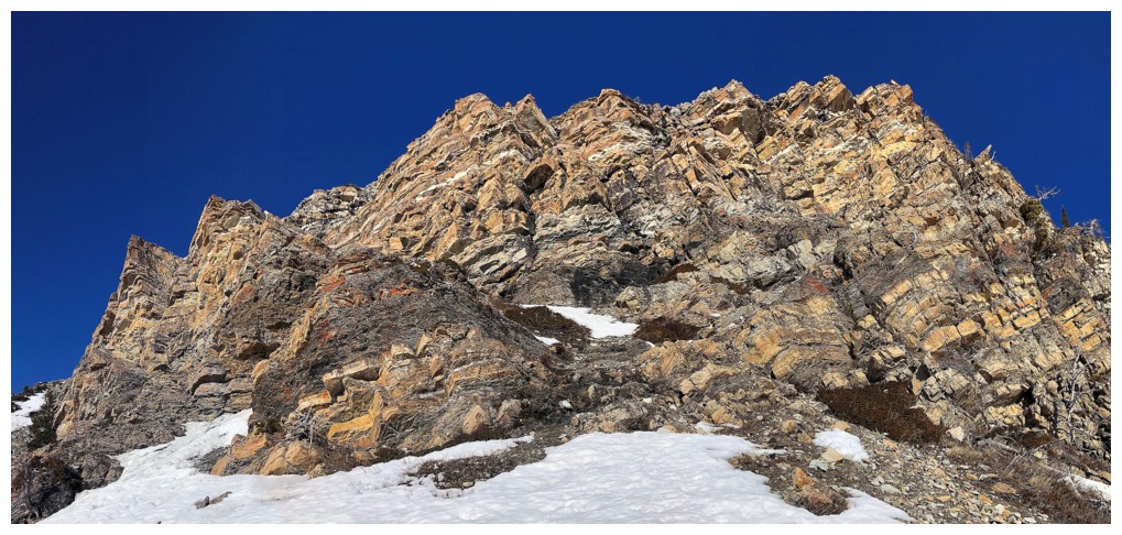
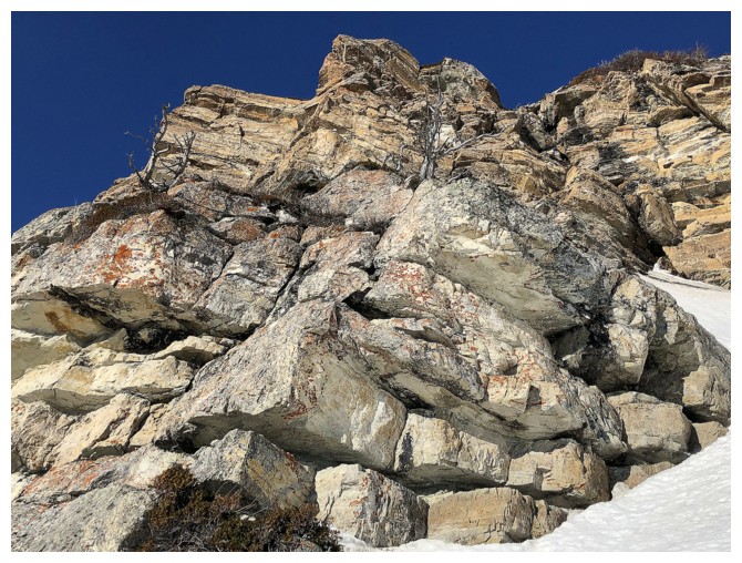
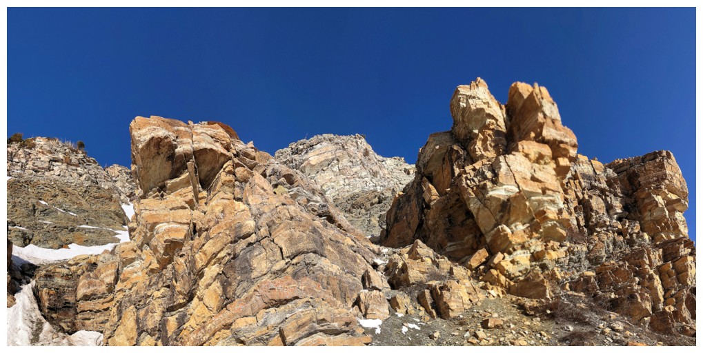
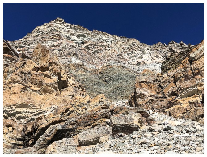
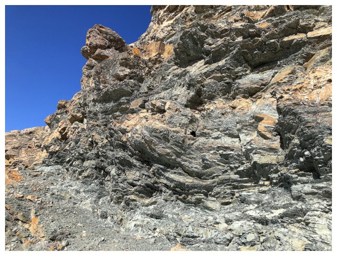
There was a weakness up through the next set of rock bands too
This one
And of course beautiful rock all the way up
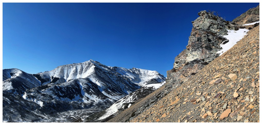
The East End of Loaf Mountain
Love the blocky rock!
...and the green argillite
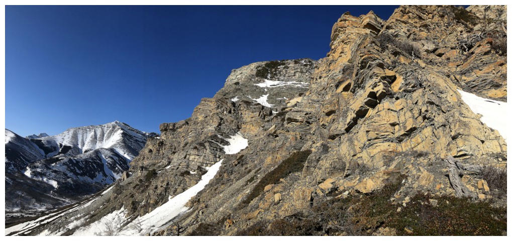
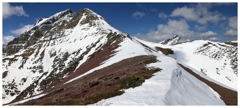
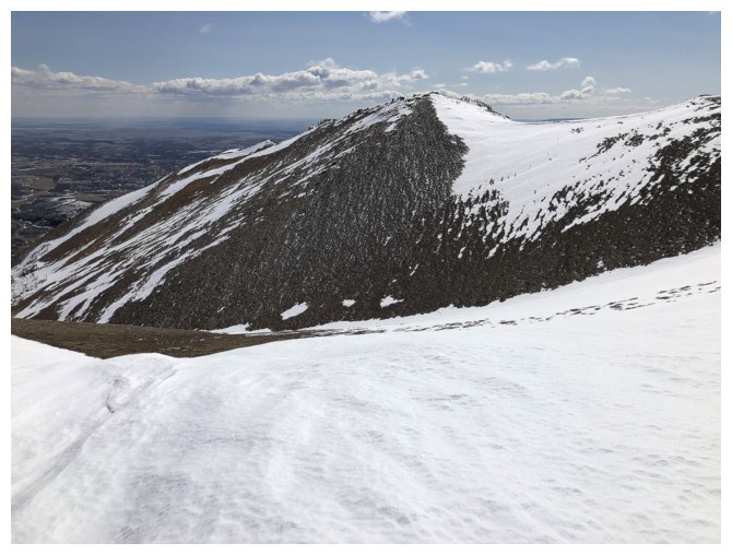
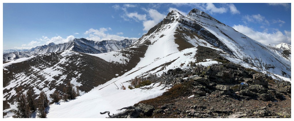
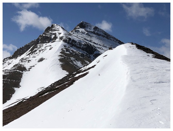
Turning the corner to a view of Drywood Mountain's main summit
A better with much of the northeast ridge visible
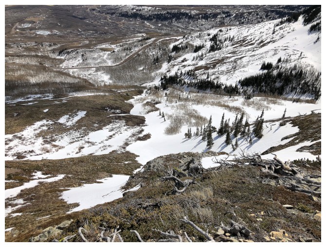
More views of Loaf's Mountain's north side. The south side has tons of amazing ascent routes.
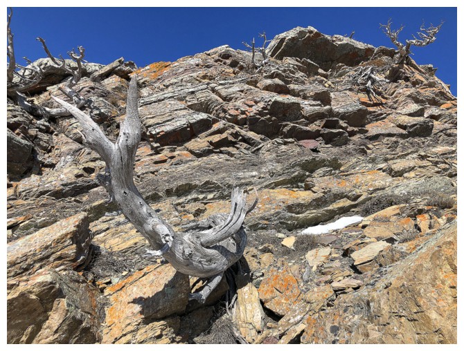
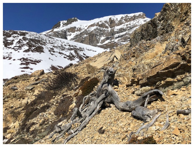
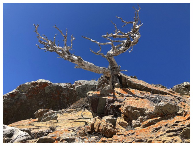
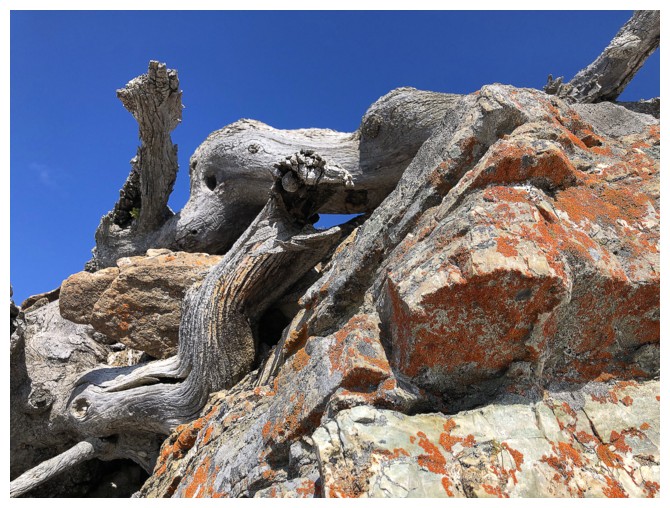
Back to Woody and a little detour to check a few dead trees and layered rock
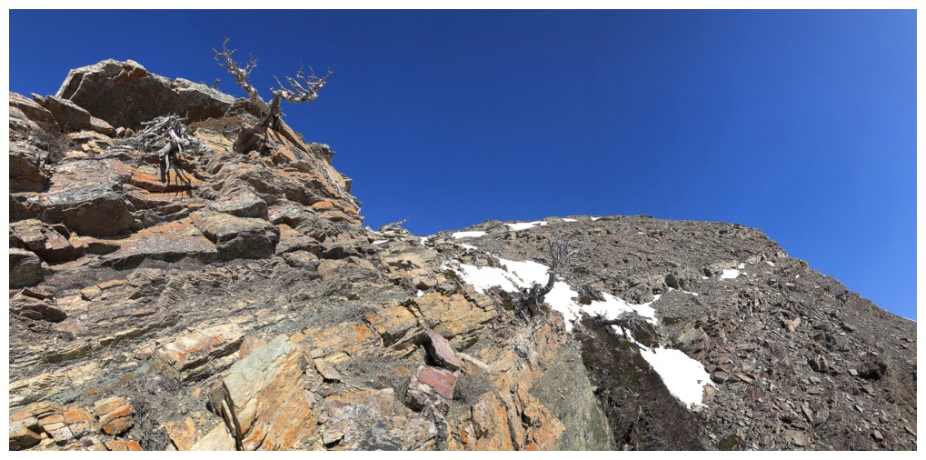
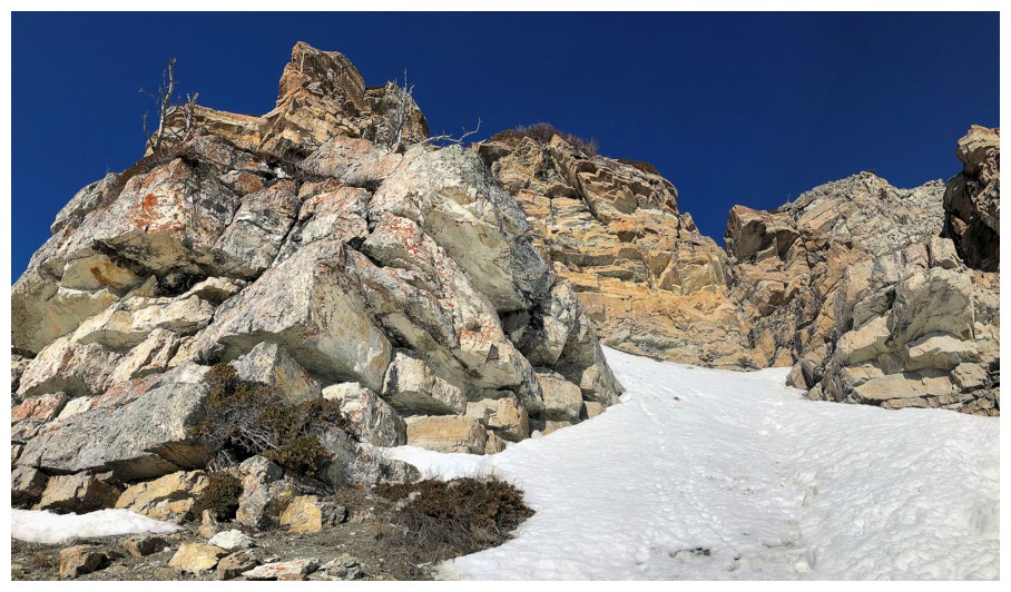
Tried to traverse this section to gain the ridge, but it became quite exposed and snowy around the corner
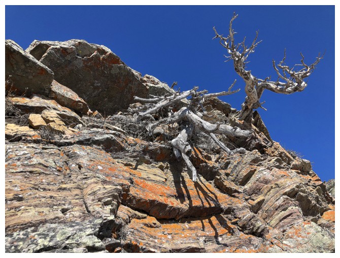
But the trees were very cool
Backing up to gain the ridge
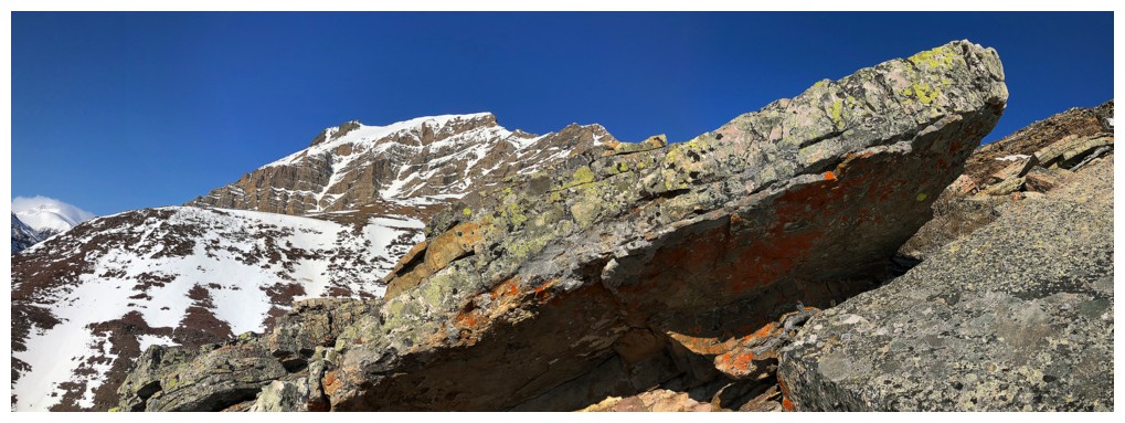
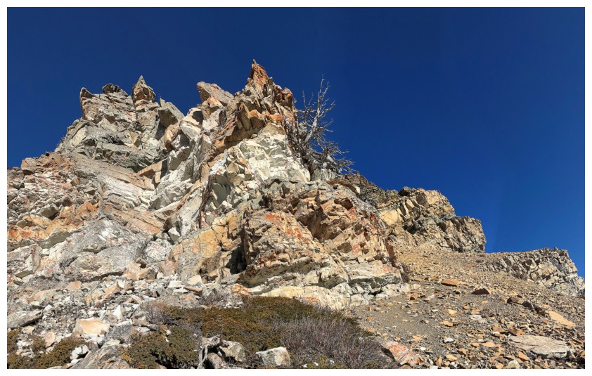
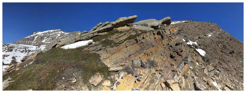
No shortage of great rock anywhere on this outlier
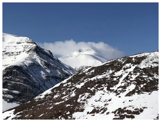
The distant, true summit of Loaf finally makes an appearance
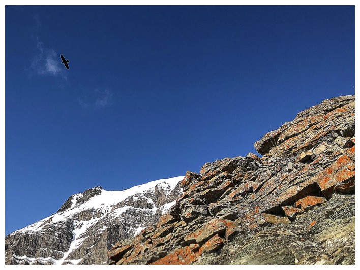
A bird above
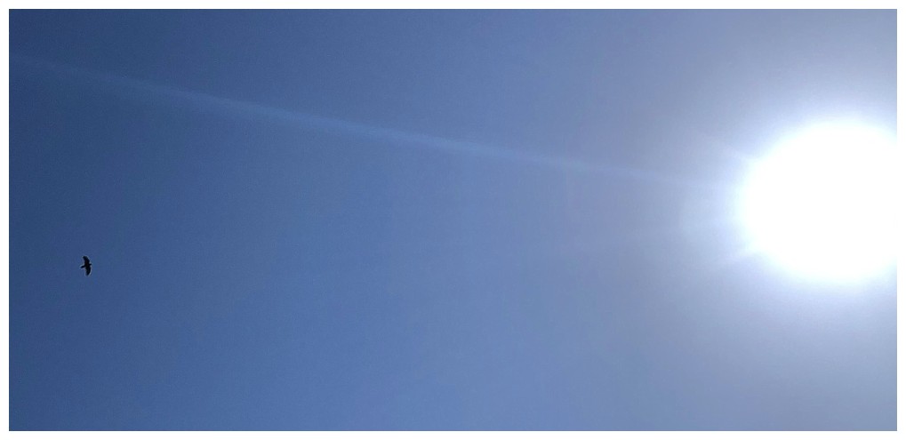
Icarus??
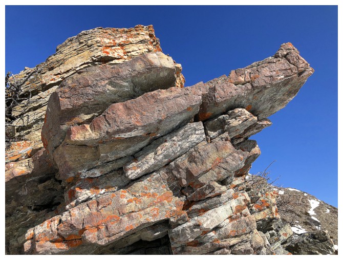
Continuing to be stunned by the great rock and lichens
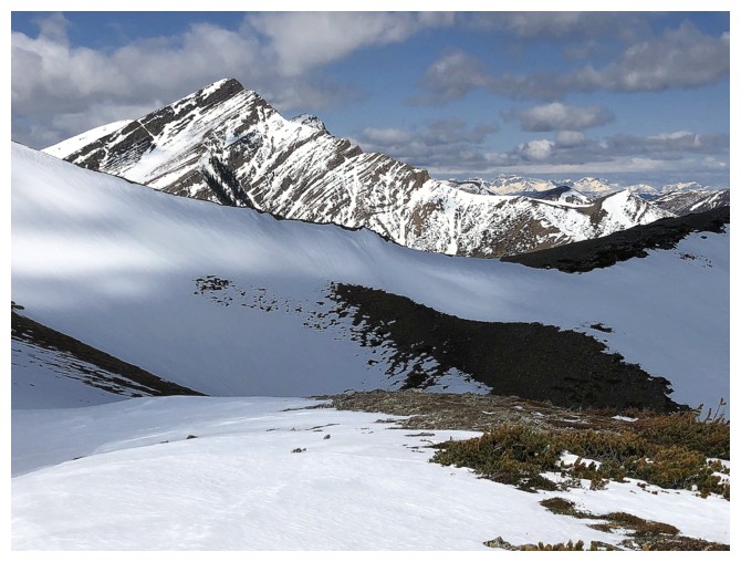
The bulk of Drywood's east side and "Stumpy" to the right
Almost all of Loaf is now visible, as well as Mount Roche behind
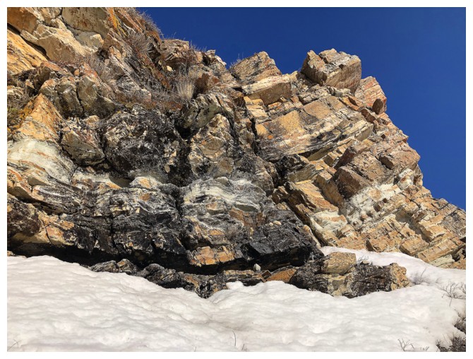
Very random and unusually coloured rock at the lower right
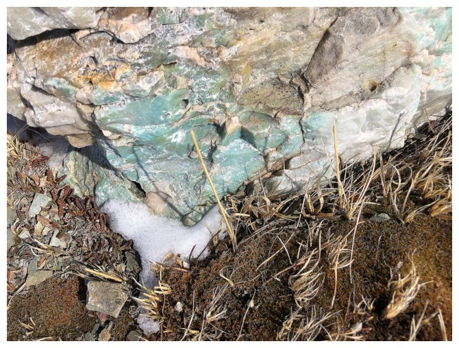
Close-up of the light turquoise rock
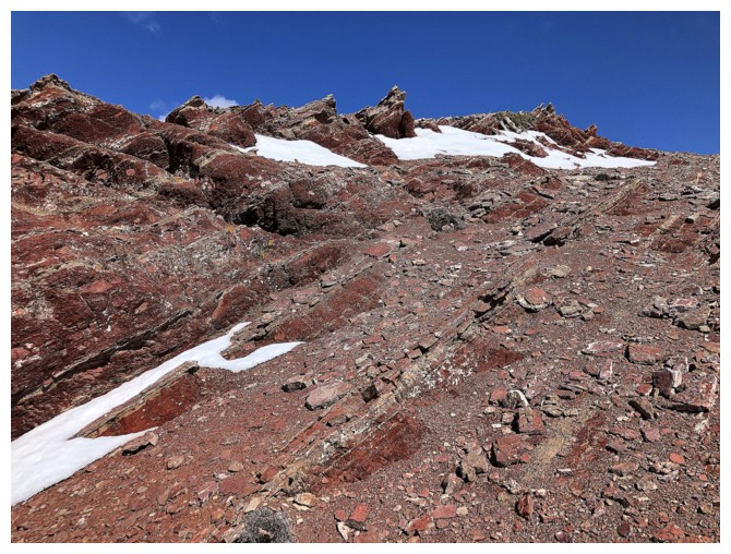
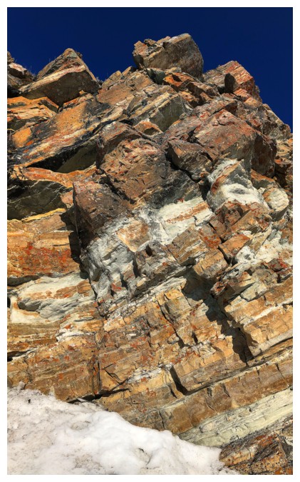
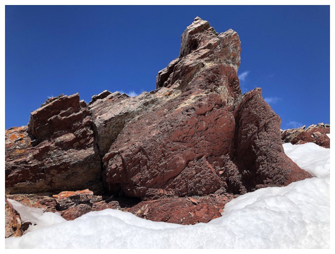
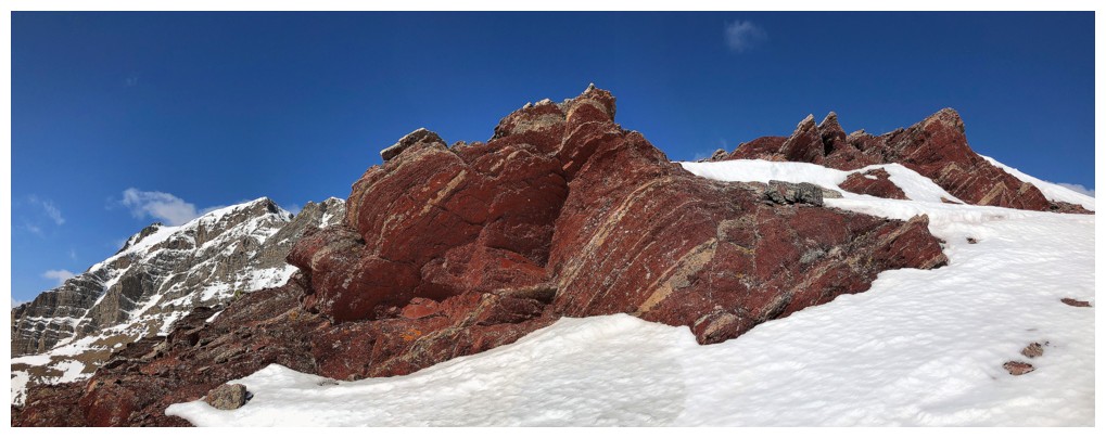
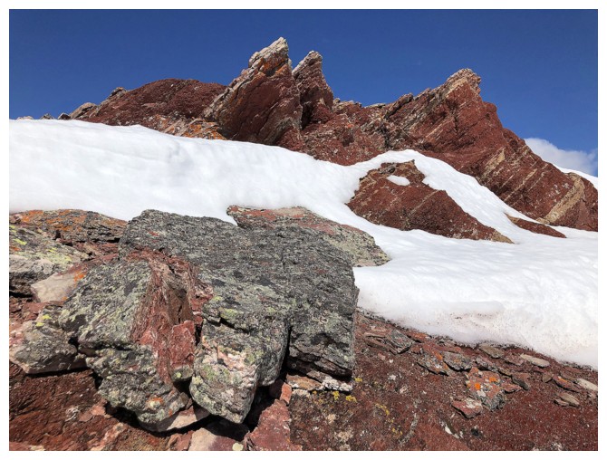
Just when you thought the great rock scenery was over, along comes a huge band of red argillite!
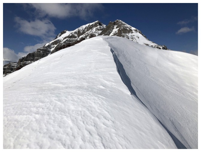
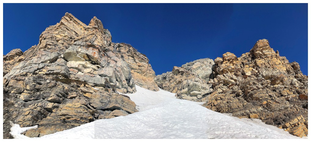
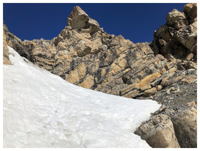
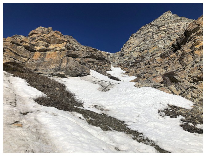
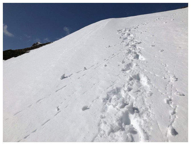
Very snowy from here to the summit
Spoke too soon - more argillite to come
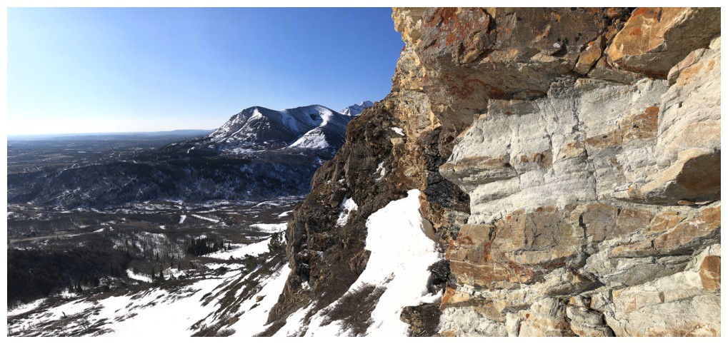
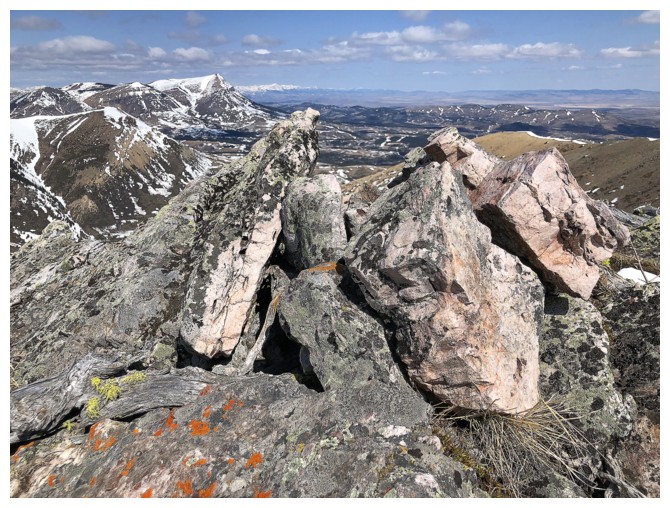
Summit view of Drywood from "Stumpy"
The traverse to "Barky" and Pincher Ridge
Close-up
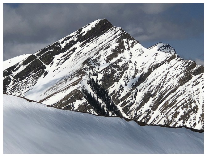
The false summit Drywood's northeast ridge looks quite impressive from here
The traverse, with "Barky" and "Woody" at the right
Looking back at Stumpy
Summit view from Barky
False summit and true summit
Looking over to Woody
Prairie Bluff
Summit view from Woody
The Woody cairn
Victoria Peak pokes out from behind Pincher Ridge
Can't get enough of the view back to Drywood
Last look before the descent
Heading down, but looking back
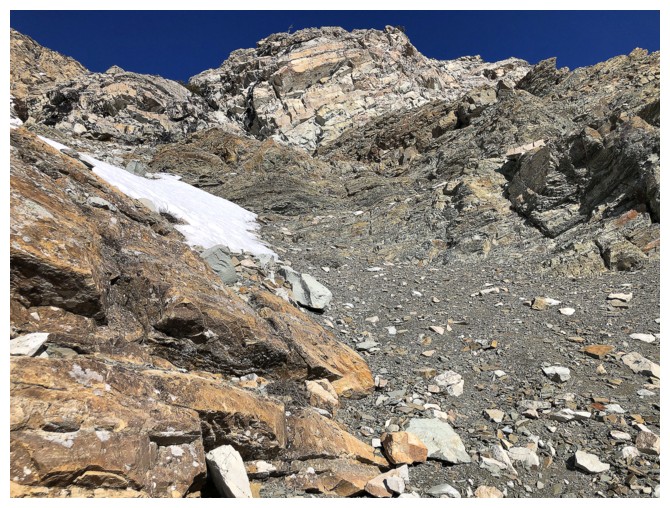
Perfect snow for an easy descent
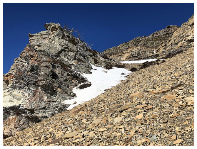
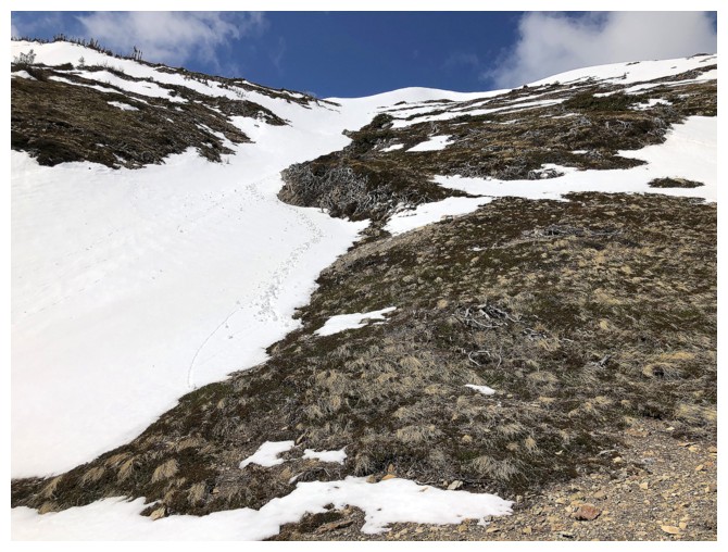
Looking down the descent route. The usual route is the drainage, just visible at the far right.
Another section of good snow
Came down the right side in the photo
Parting look. Went up the left side, came down the right.
The End
LOG