Prairie
Fire IV
“Sleeping Princess” route
April 18, 2026
Mountain height: 2131 m
Total elevation gain: 673 m
Ascent time: 3:40
Descent time: 1:45
Scrambling and
some mountaineering with Dave.
After ten days
of gluttony and lethargy on a Mexico beach, I was excited to get
back into the mountains, excited to do a trip with Dave, and happy that we both
wanted something relatively short. But what?
We
drove the length of the backcountry road from Yarrow Ridge to Prairie Bluff,
 finally
settling on an attempt of “something” on Prairie Sky or Prairie Fire.
Obviously, Dave and I had both ascended both peaks multiple times,
however, a wonderful aspect of the Southern Alberta mountains is the phenomenal
number of
potential routes up each peak. Doing a different route on the same peak
often feels like a completely different mountain. As such, we parked
southeast of Prairie Bluff,
with the intention of hiking towards Fire and Sky and then picking a
line up
either that looked interesting. And boy did we find one!
finally
settling on an attempt of “something” on Prairie Sky or Prairie Fire.
Obviously, Dave and I had both ascended both peaks multiple times,
however, a wonderful aspect of the Southern Alberta mountains is the phenomenal
number of
potential routes up each peak. Doing a different route on the same peak
often feels like a completely different mountain. As such, we parked
southeast of Prairie Bluff,
with the intention of hiking towards Fire and Sky and then picking a
line up
either that looked interesting. And boy did we find one!
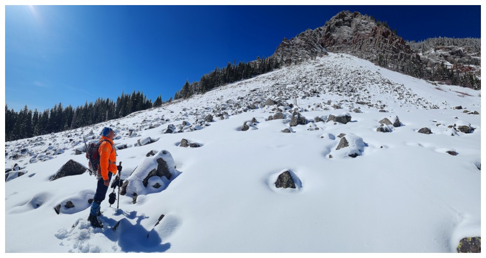
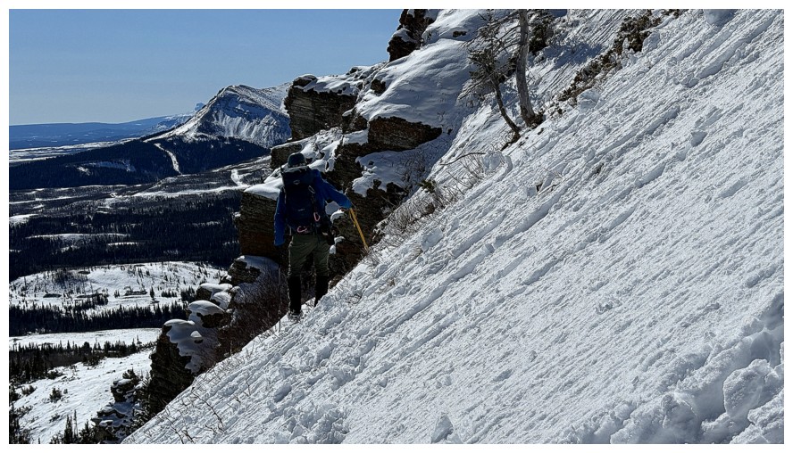
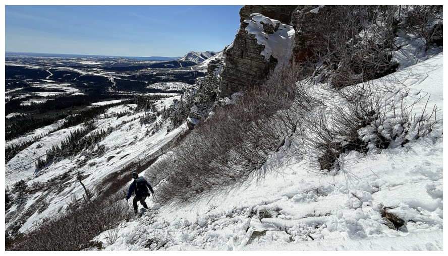
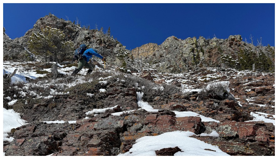
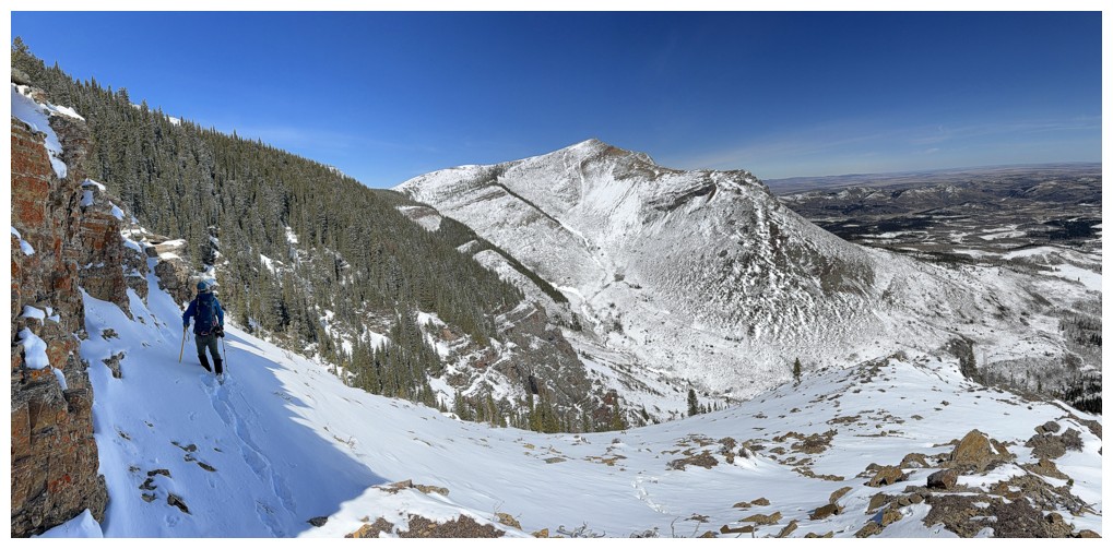
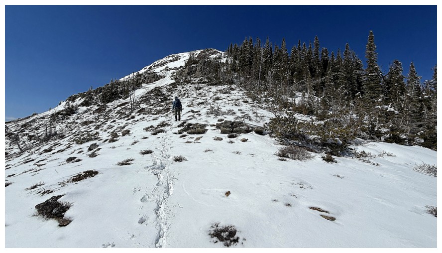
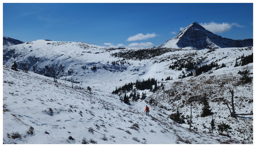
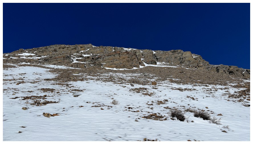
Upon reaching
the east side of Fire, we decided to hike/scramble up to the base of impressive
walls above and then traverse below them in search of a route up. From afar,
Dave had spotted a snow couloir that could be the ticket. That couloir was not
the ticket, but the one before it was “winner, winner, chicken dinner!”
(finally, I find a place to use that over-used and worn-out yet still humorous
combination of words).
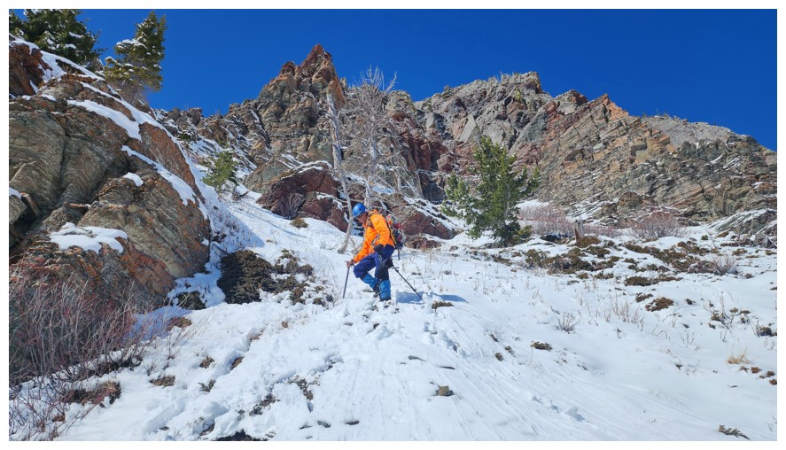
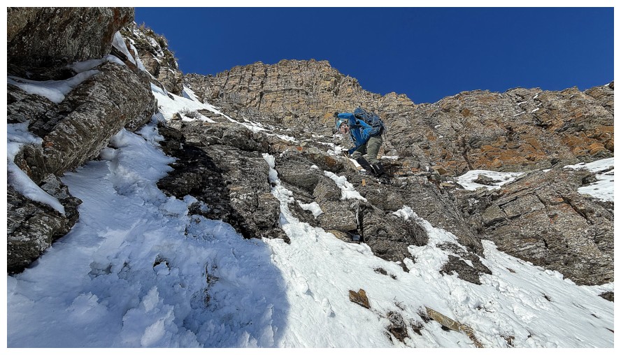
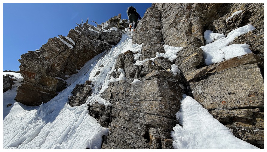
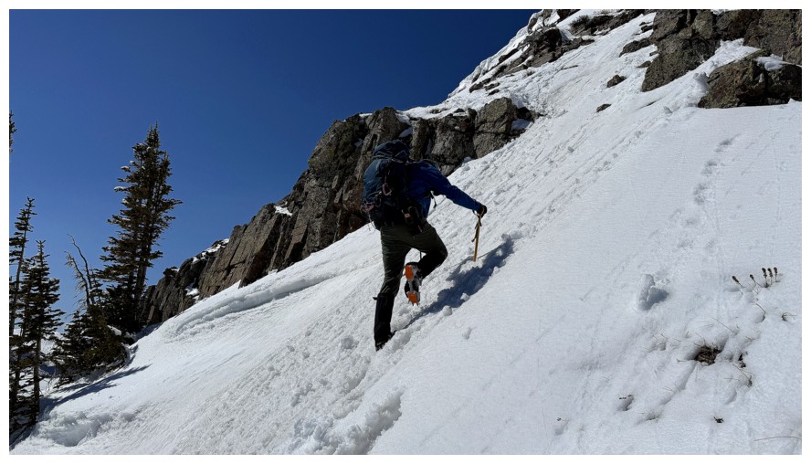
Dave suggested
we try this first couloir and I was all in. 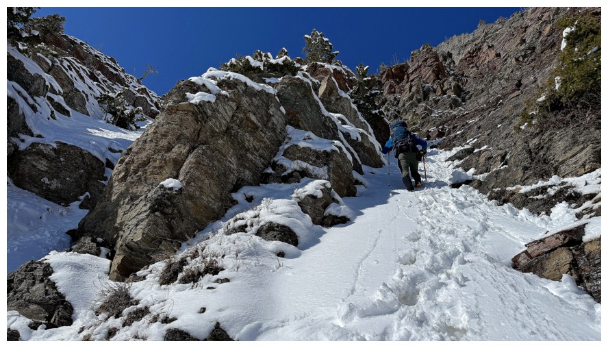 Off we went, Dave step-kicking a path
up the entire couloir. Good thing we had already put crampons on and taken out
the ice axes. The route definitely had a mountaineering feel to it, rearing up
to fairly steep angles for a few short sections. Thankfully, the new snow made
the terrain a treat to ascend.
Off we went, Dave step-kicking a path
up the entire couloir. Good thing we had already put crampons on and taken out
the ice axes. The route definitely had a mountaineering feel to it, rearing up
to fairly steep angles for a few short sections. Thankfully, the new snow made
the terrain a treat to ascend.
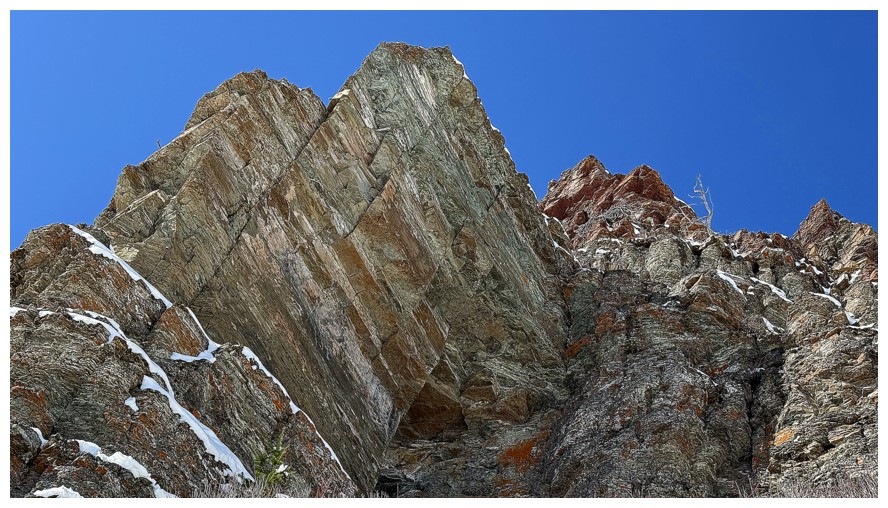
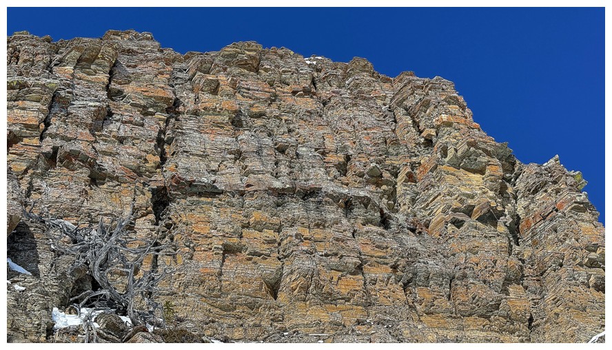
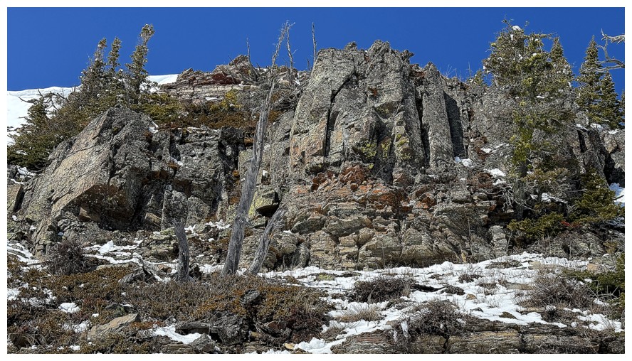
And the perfect
ascent conditions were only one aspect of the route that would eventually render
it one of the most enjoyable lines I’ve ever taken on Prairie Bluff or any of its
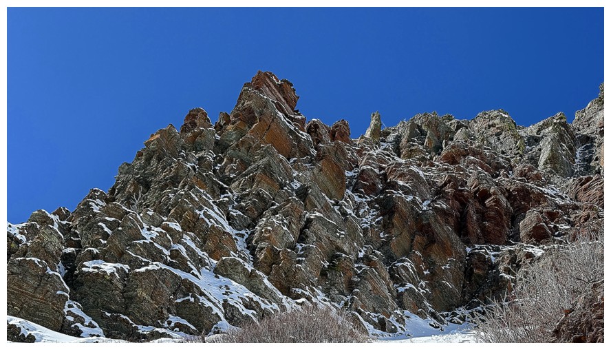
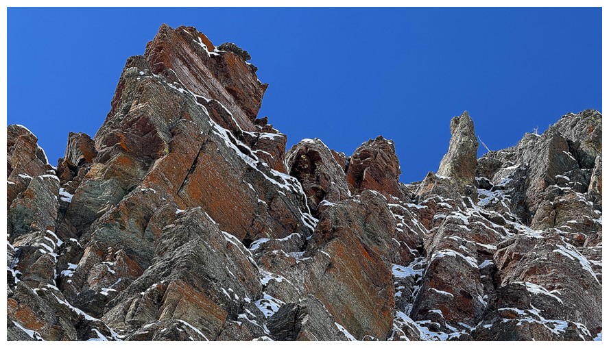
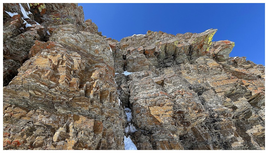
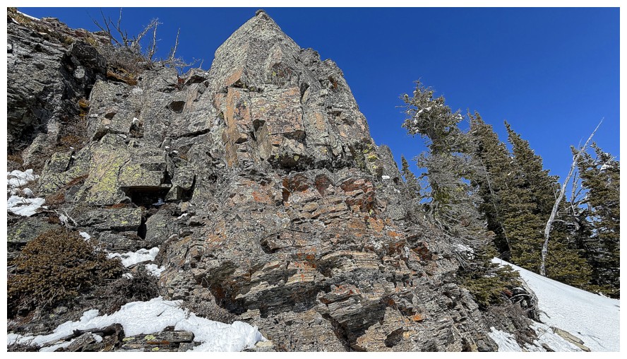
outliers. On either side of the couloir sat your classic striking, colourful
rock from top to bottom, meaning I would spend as much time photographing that
rock as ascending the couloir. The fresh white snow underfoot and deep blue sky
above were the icing on the cake.
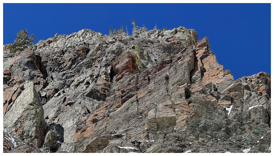
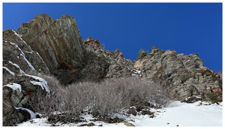
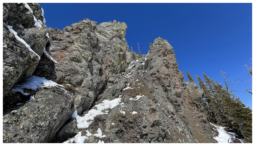
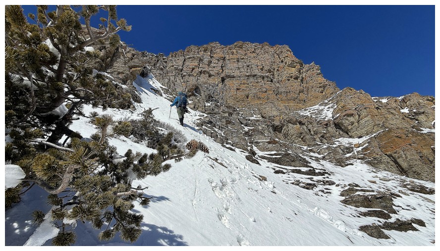
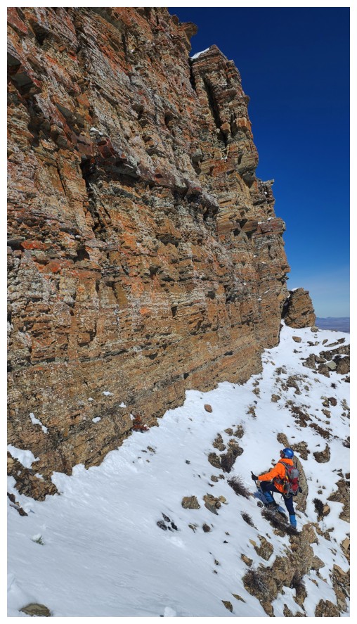
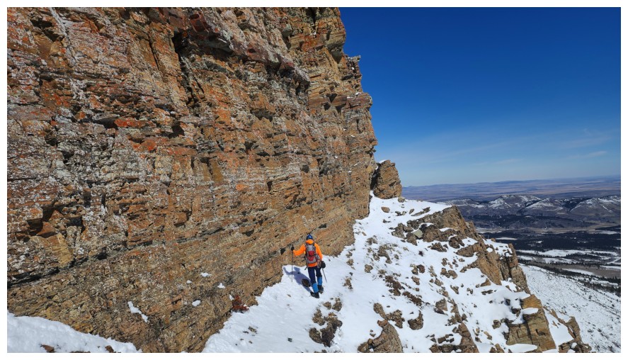
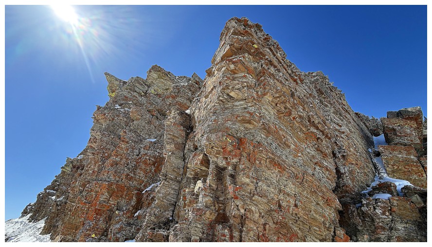
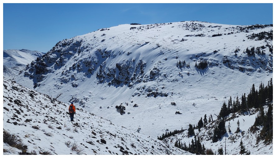
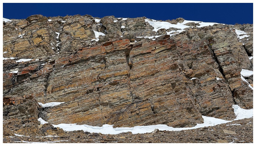
The couloir
went up for a surprisingly long distance. At its termination, the terrain
settled down a little, but still provided some fun scrambling challenges and
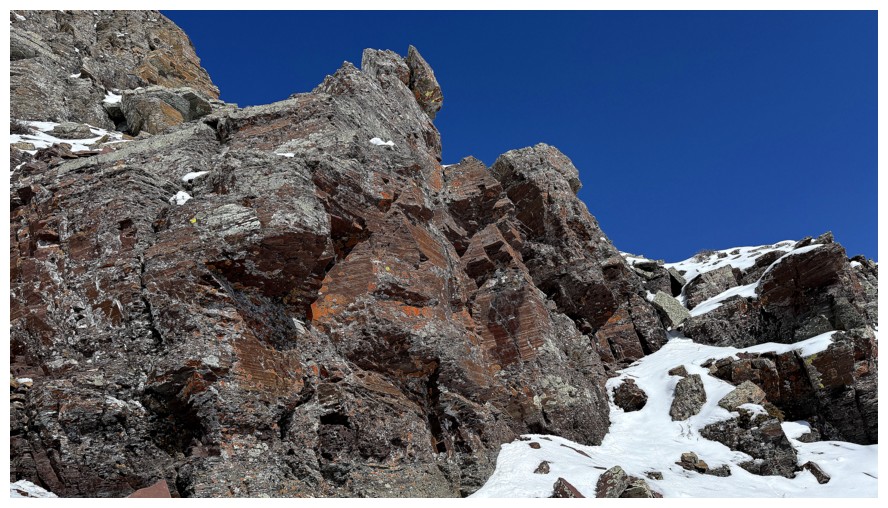
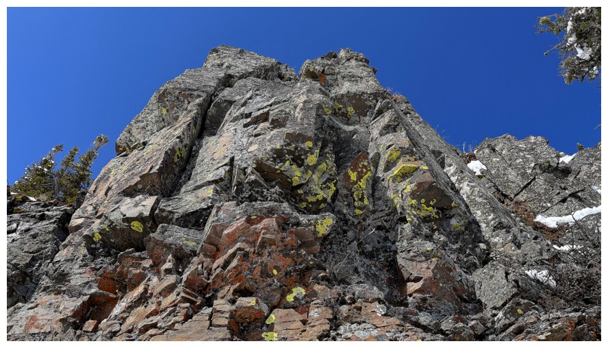
more incredible rock scenery. Eventually, we reached the penultimate obstacle
in the form of an immense and gorgeous light brown/orange, vertical rock band.
We could have easily traversed around the left side to easier terrain but
decided to go right and what a beautiful ride that was. Dave then led the way
up to the top of the band and the last stretch of terrain before the summit.
 Here we joined up with an entertaining route I had taken up Fire in 2018. We
took slightly different routes to the top from this point, Dave taking a very
snowy and steep line similar to mine eight years earlier.
Here we joined up with an entertaining route I had taken up Fire in 2018. We
took slightly different routes to the top from this point, Dave taking a very
snowy and steep line similar to mine eight years earlier.
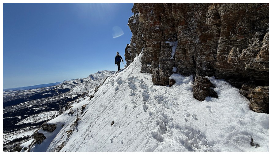
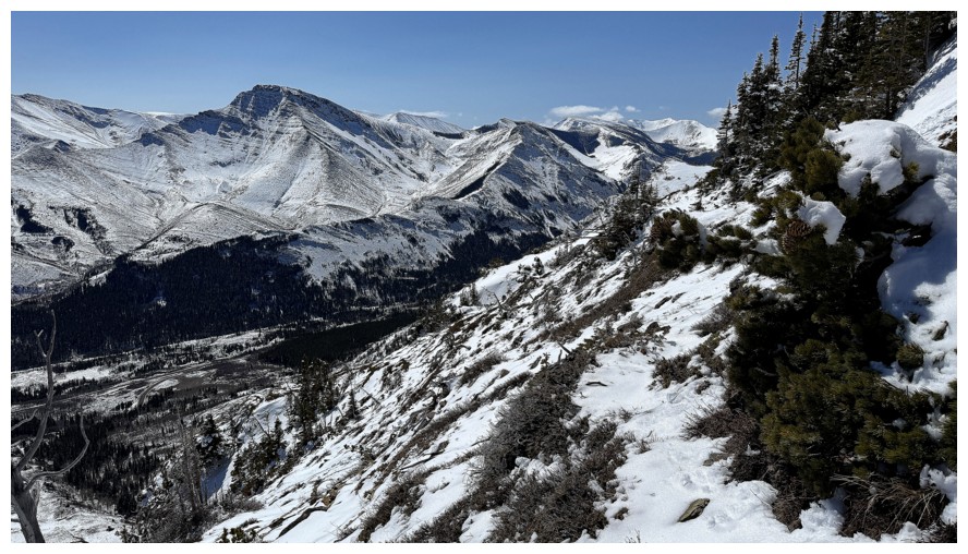
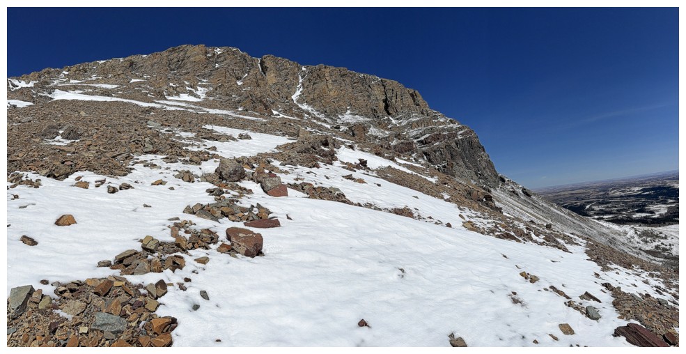
Our summit stay
was short but joyous and so gratifying, both of us riding a high from the
awesome route up. After a few photos and lots of spirited conservation about
the ascent, we had to pick a route down. There were two logical options: 1. the
tried and tested trail on the south side of Fire; 2. an experimental route to
the north that I had spotted earlier in the year. While I was keen on option 2,
Dave (the wiser of our duo) thankfully talked me into the “standard” south side
route. The heavily treed north route could have been a post-holing nightmare, with
limited views. However, we both knew the south route to be easy and incredibly scenic.
It would have been “nuts” to pass up on another run past the stunning rock walls,
especially on what continued to be a perfect weather day.
The route didn’t
disappoint at all, yielding many photo ops and a quick run up to a massive
boulder that seemed quite out of place on the slopes. We then circled around
the peak and found our way back to the approach trail and eventually the
trailhead.
What a day – perfect
weather, perfect snow conditions, a thoroughly enjoyable and new ascent line, stunning
rock everywhere, a terrific summit view, an easy and rewarding descent, and a
partner willing to kick steps all the way up for me – unbeatable!
Click HERE to
see Dave’s awesome report.
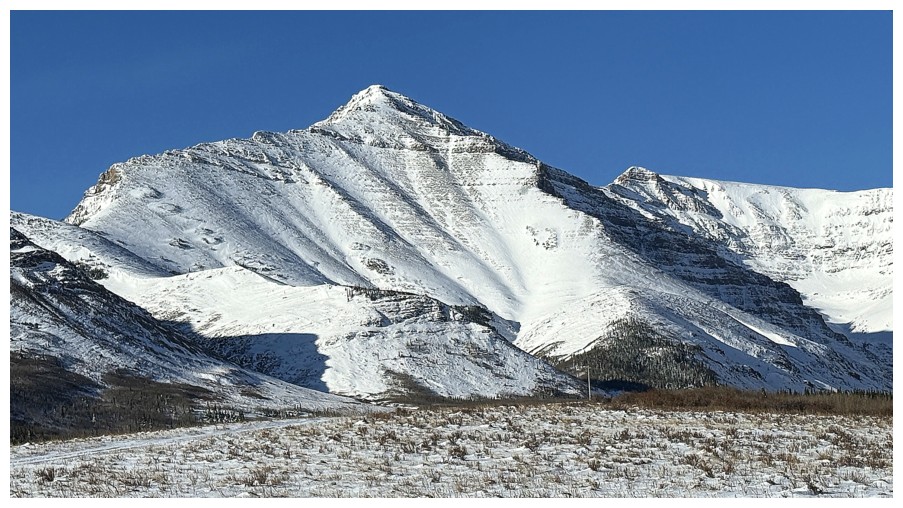
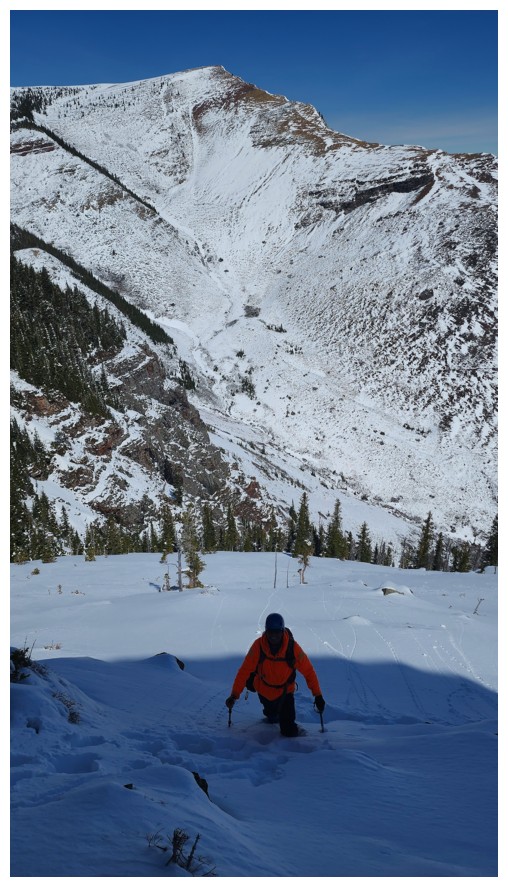
The northeast side of Bakery Peak, as seen on the drive to the Prairie Bluff trailhead
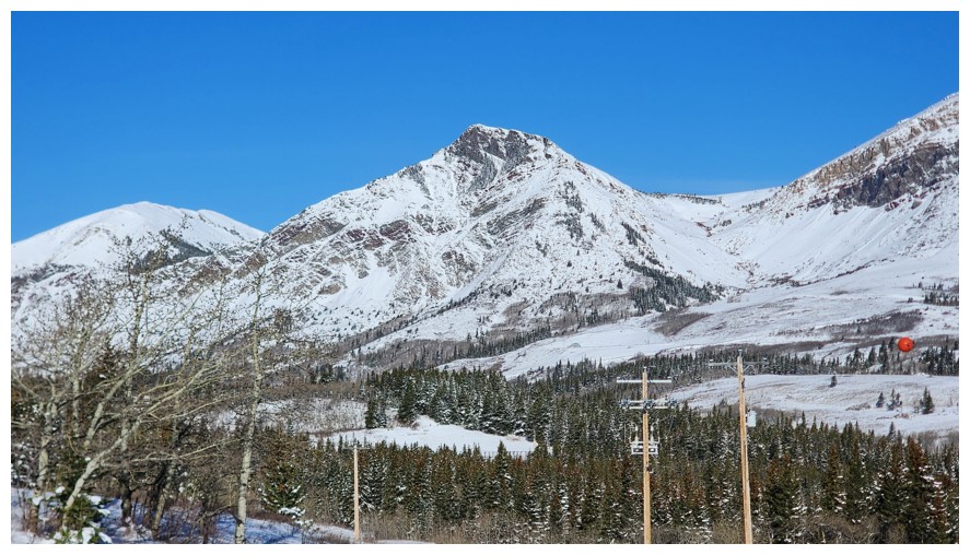
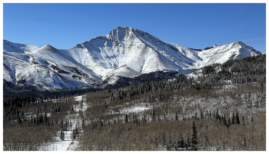
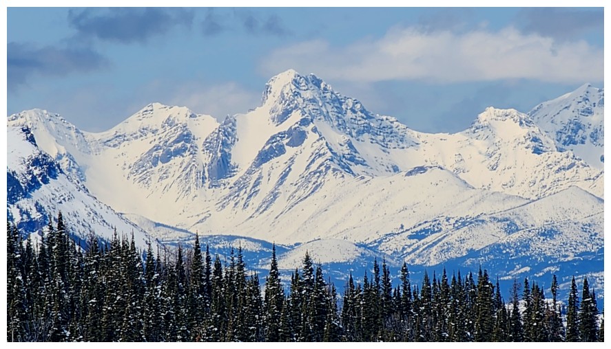
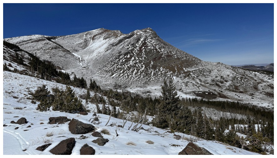
Prairie Sky - had several awesome trips on that one, the latest in 2025 (photo by Dave)
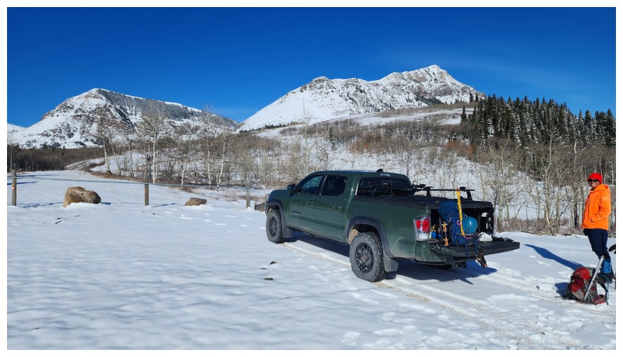
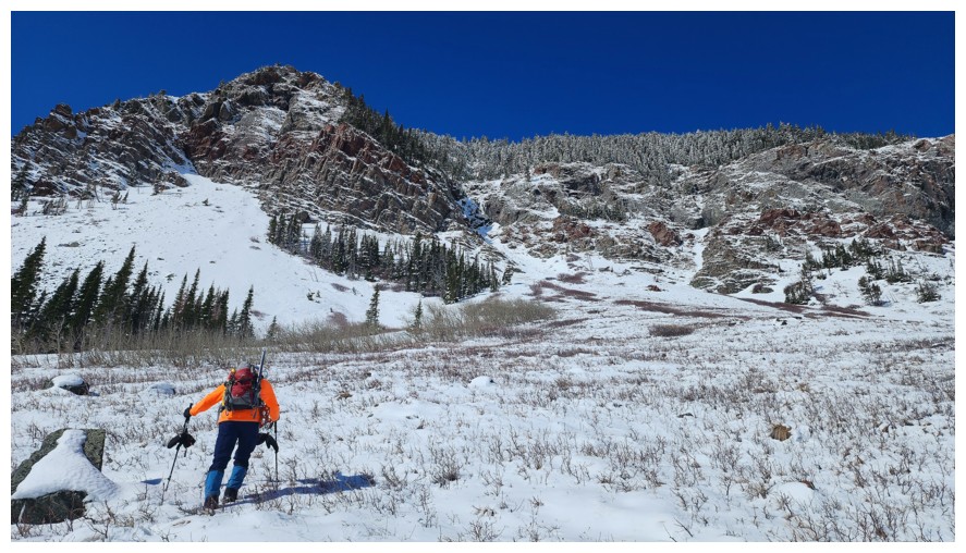
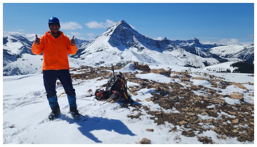
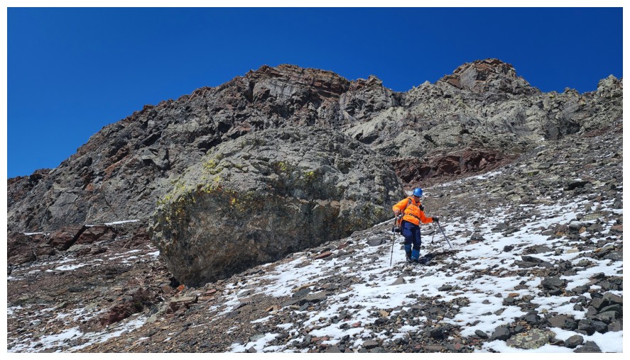
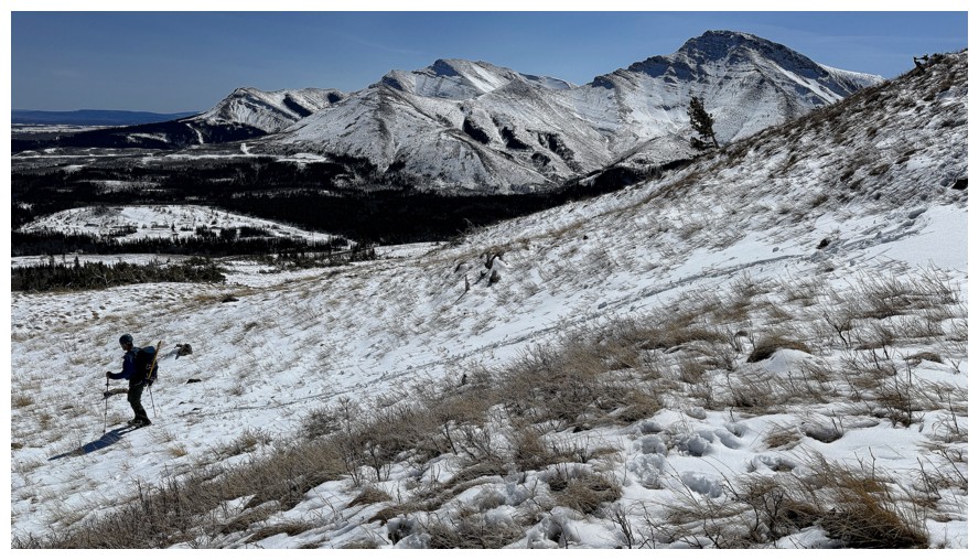
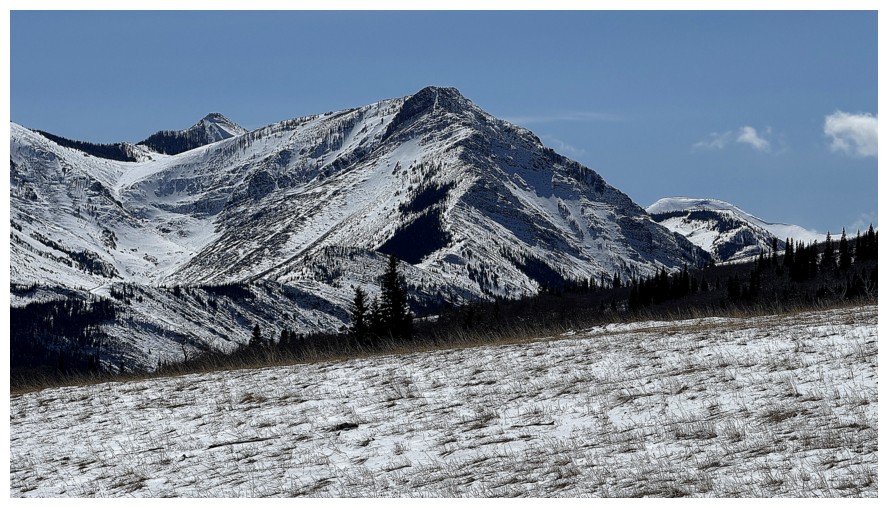
Gearing up. Prairie Fire at the left and Prairie Bluff at the right (photo by Dave).
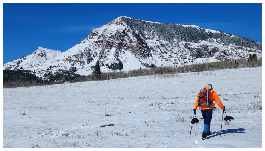
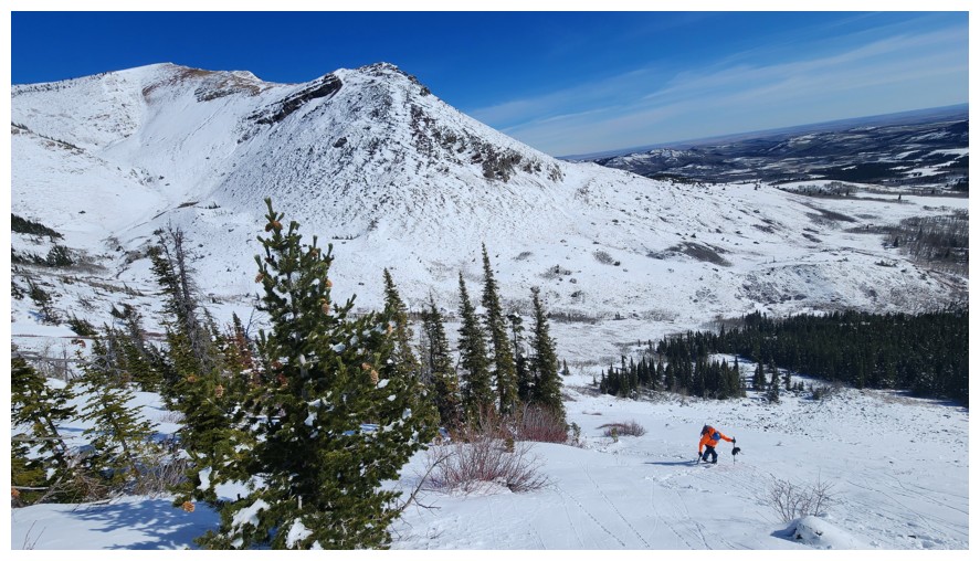
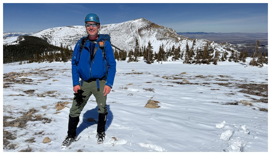
Making our way towards Fire. Prairie Sky at the left (photo by Dave).
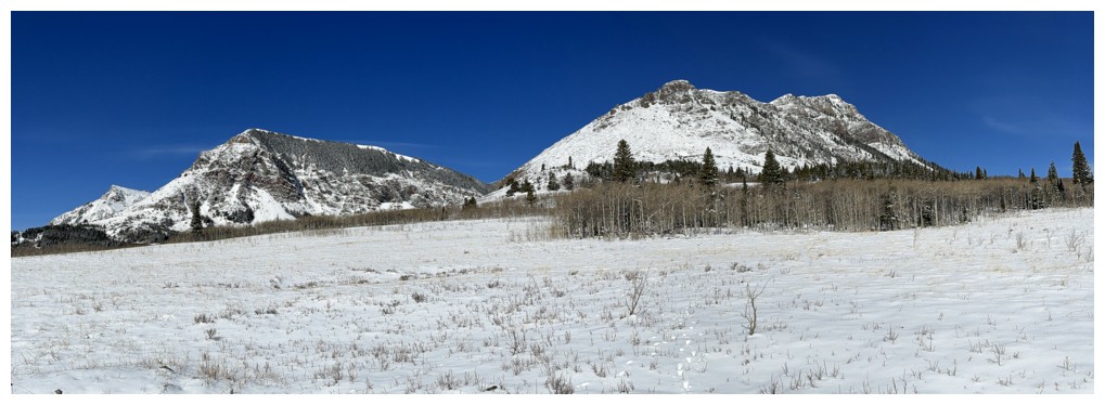
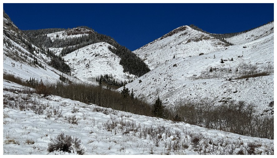
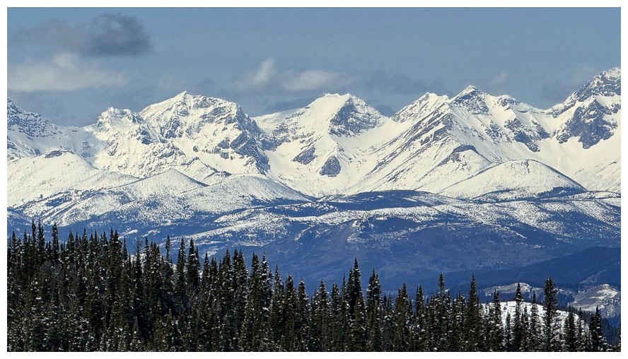
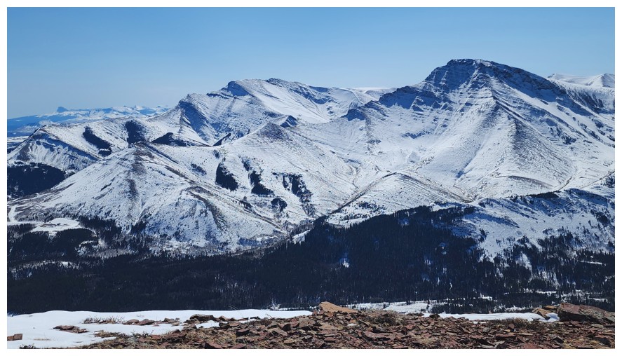
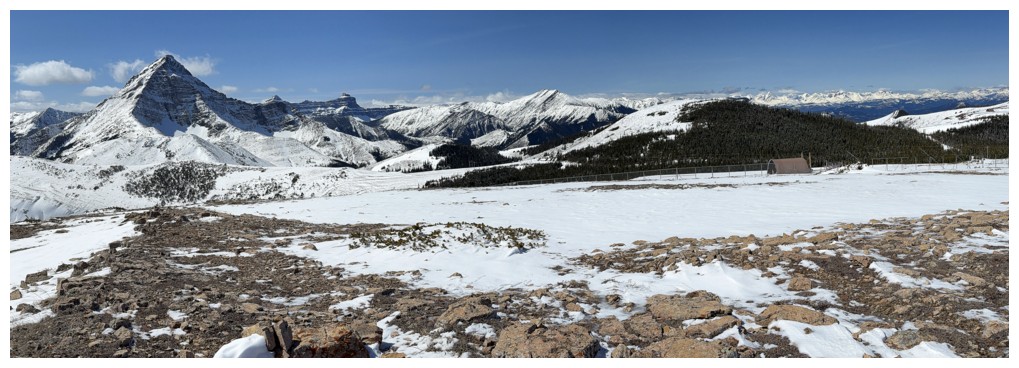
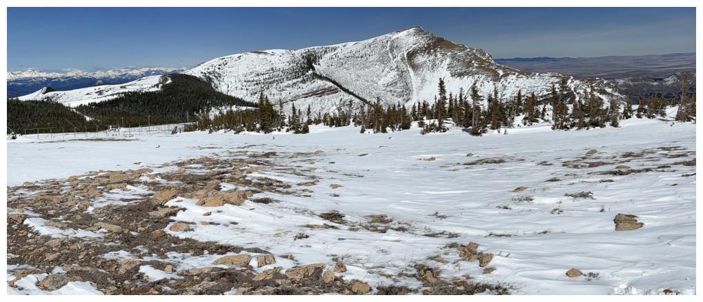
Three of five Prairies - Storm and Oyster are missing.
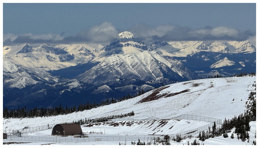
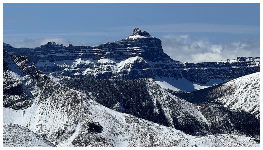
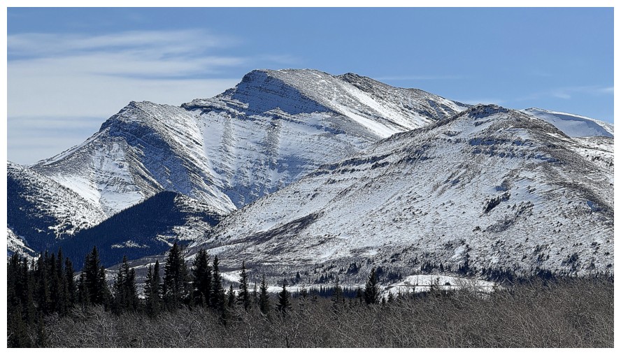
The north side of Pincher Ridge
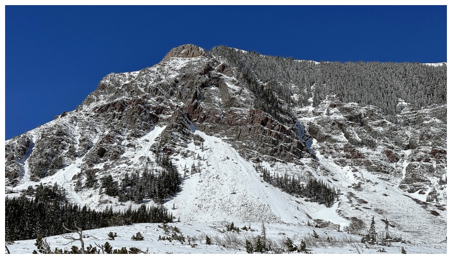
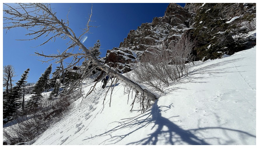
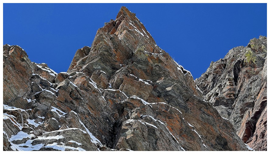
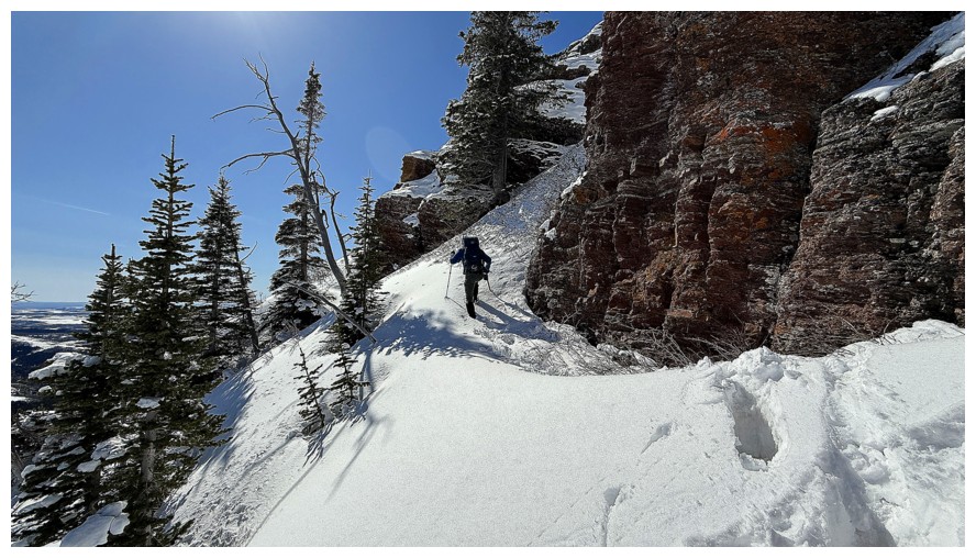
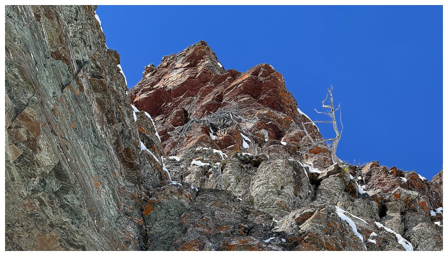
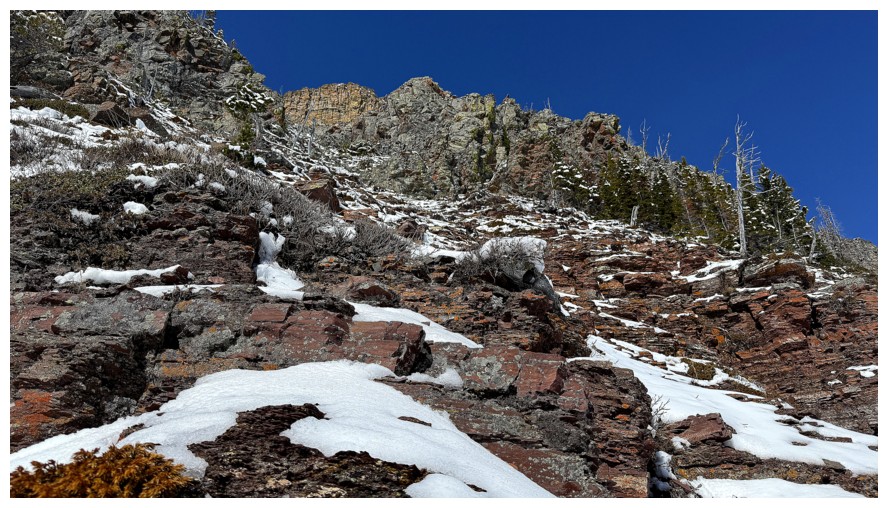
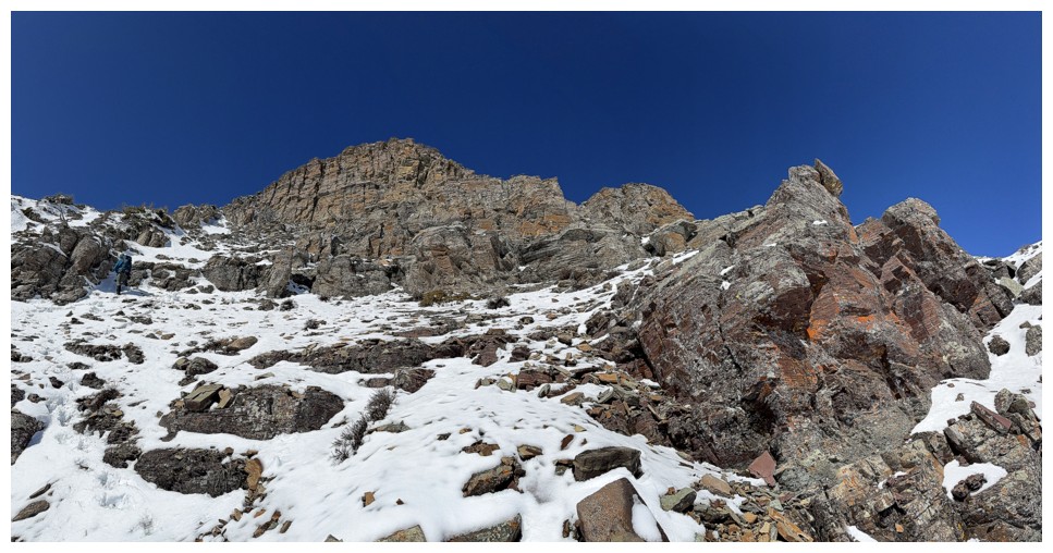
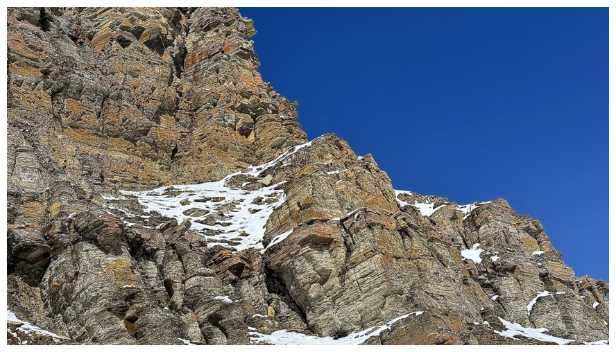
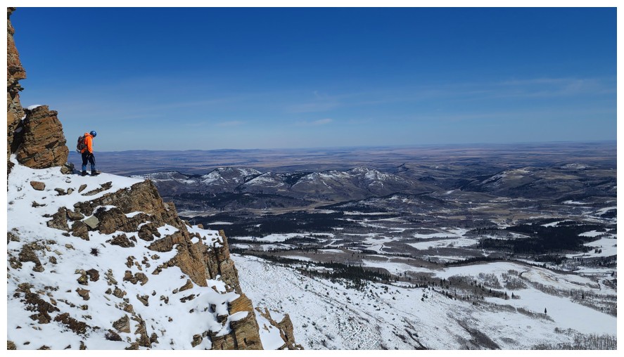
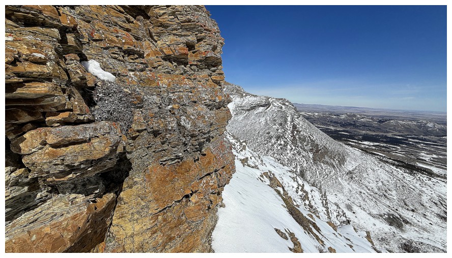
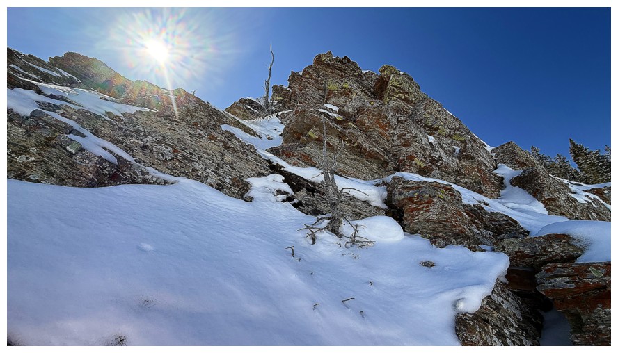
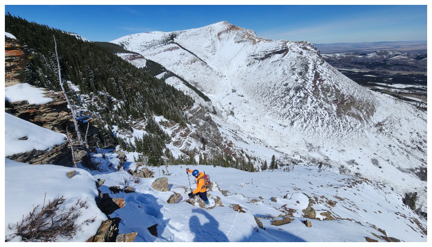
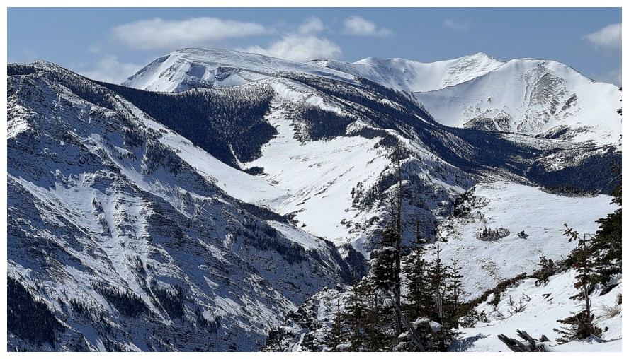
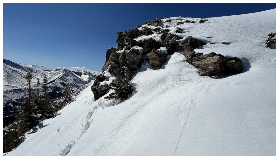
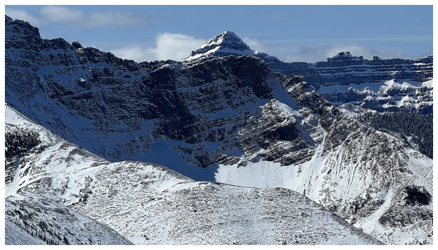
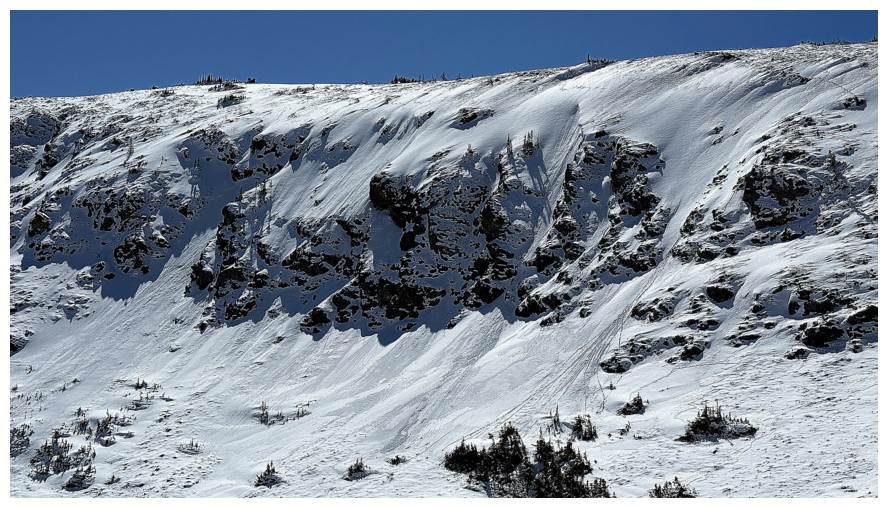
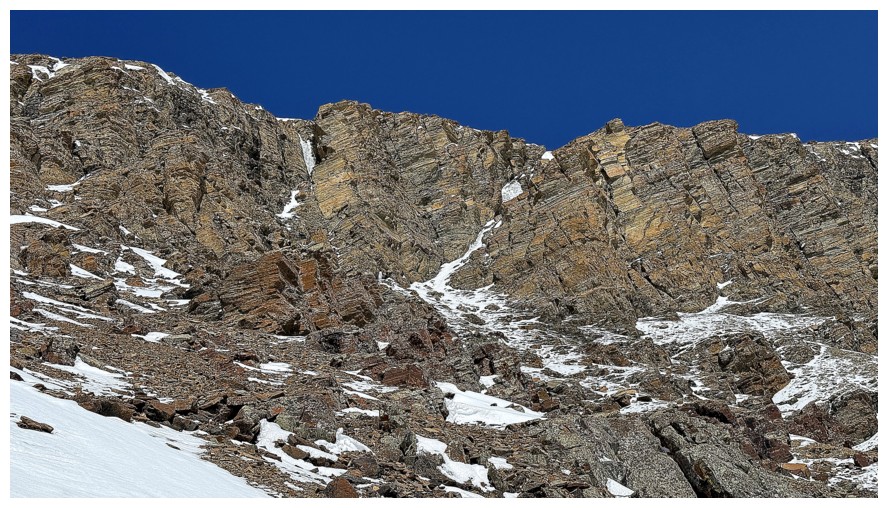
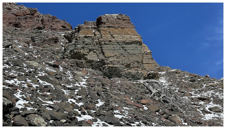
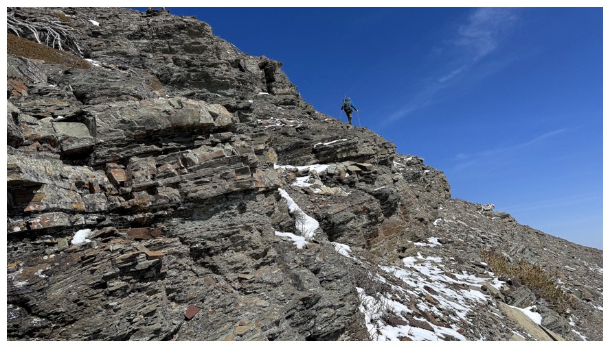
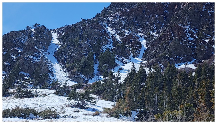
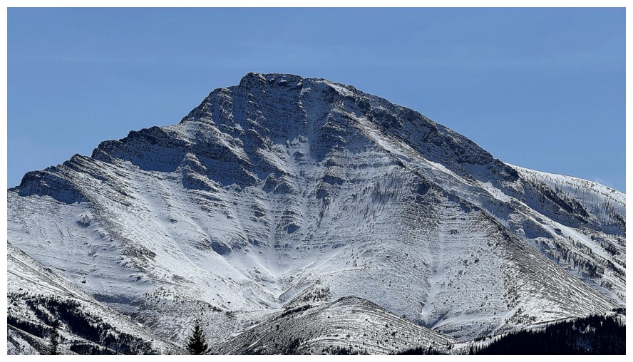
The east side of Fire. Didn't know it at the time, but we would
eventually take the "Sleeping Princess" route near the left side (see Dave's report for the naming of the route). Brad
and Dave ascended a more challenging route, just right of centre,
exactly one year earlier.
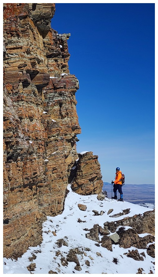
Also didn't know it at the time, but we would be traversing to the right at the base of the rock band at the top several hours later
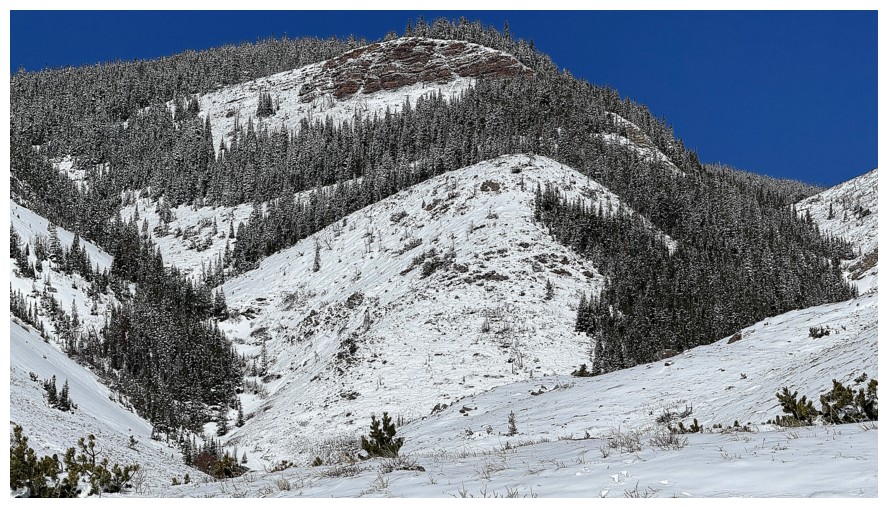
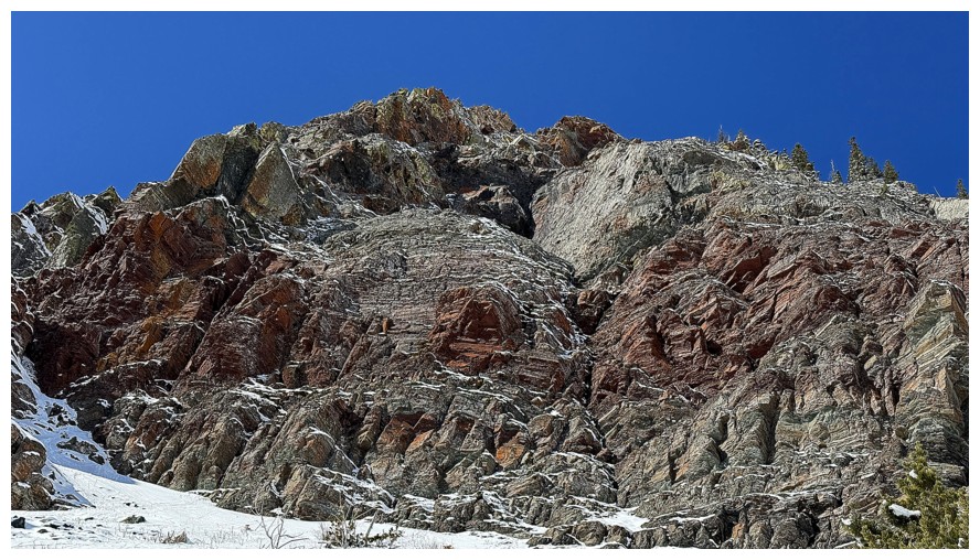
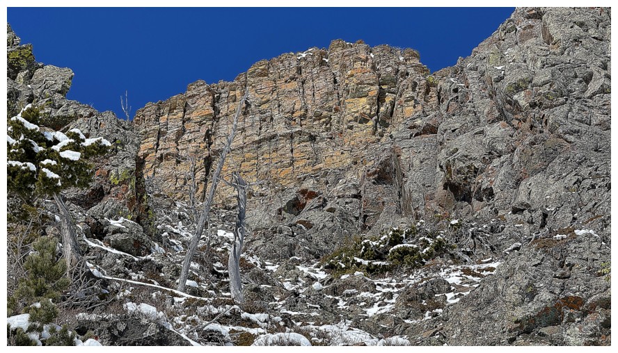
The fantastic rock band that was motivation for Prairie Bluff XXI - a trip where some potential lines up the southeast side of Fire were revealed
Another fantastic rock band in the next valley to the east, visited in 2018 - also a motivating trip to try a new route up Fire
Both
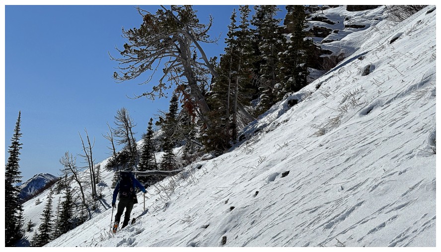
Approaching the east side of Fire (photo by Dave)
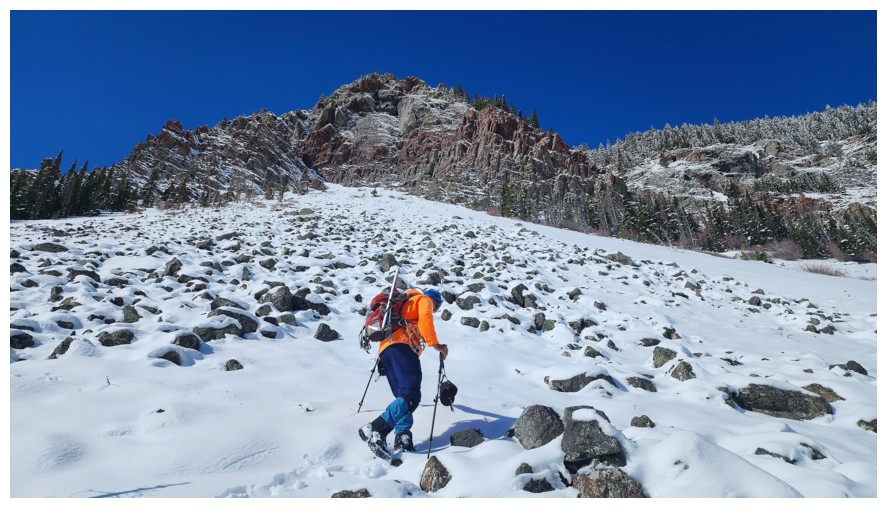
Where we decided to gain elevation. But first, let's pick an easier line up, without the boulders (photo by Dave).
Found one (photo by Dave)
Clearly, there's an animal trail beneath the snow here
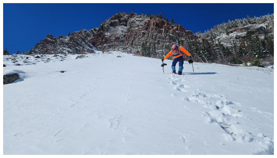
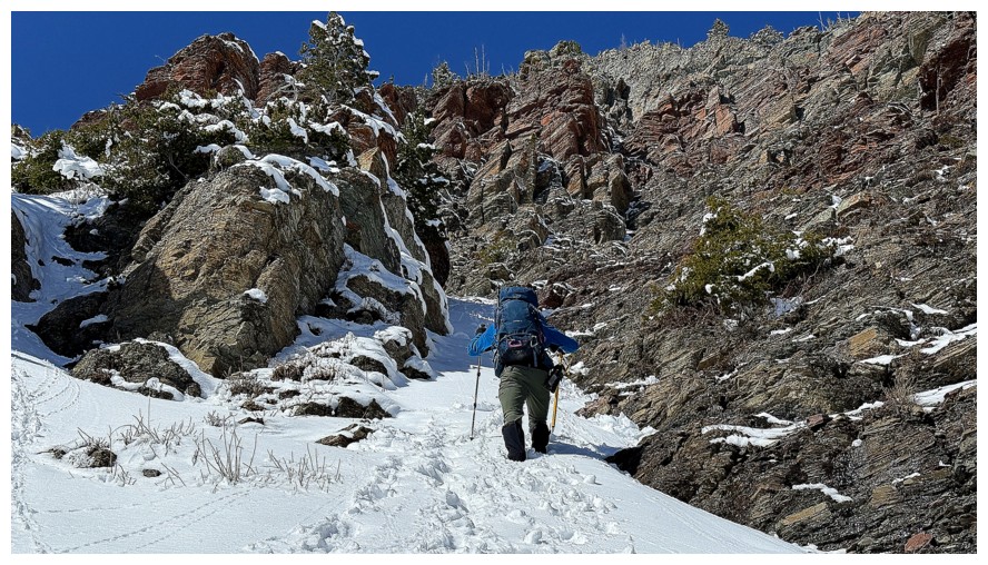
Dave takes over the trail-breaking duties for pretty much the remainder of the trip
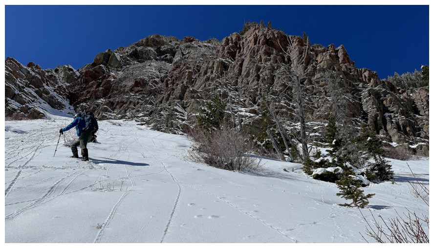
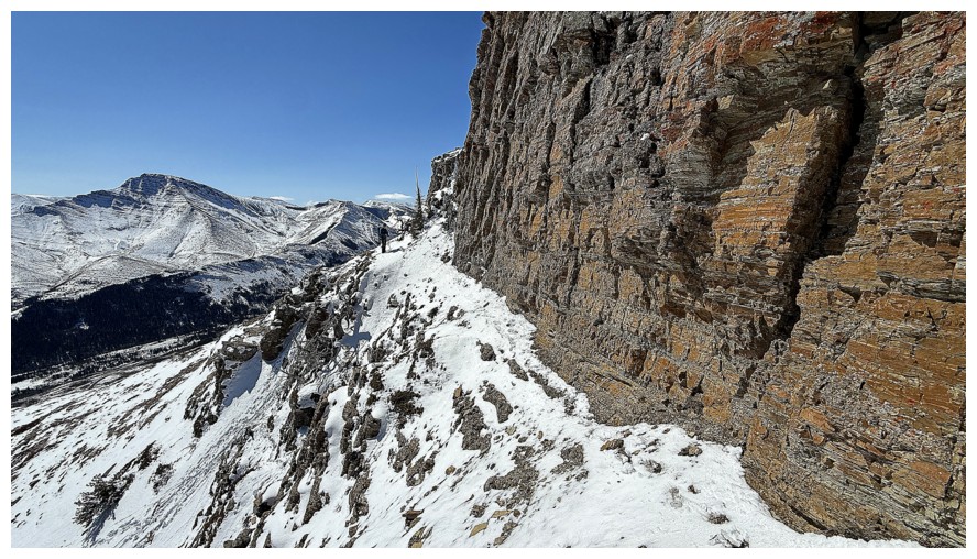
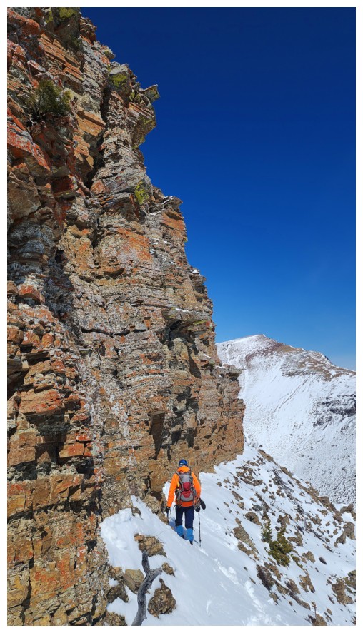
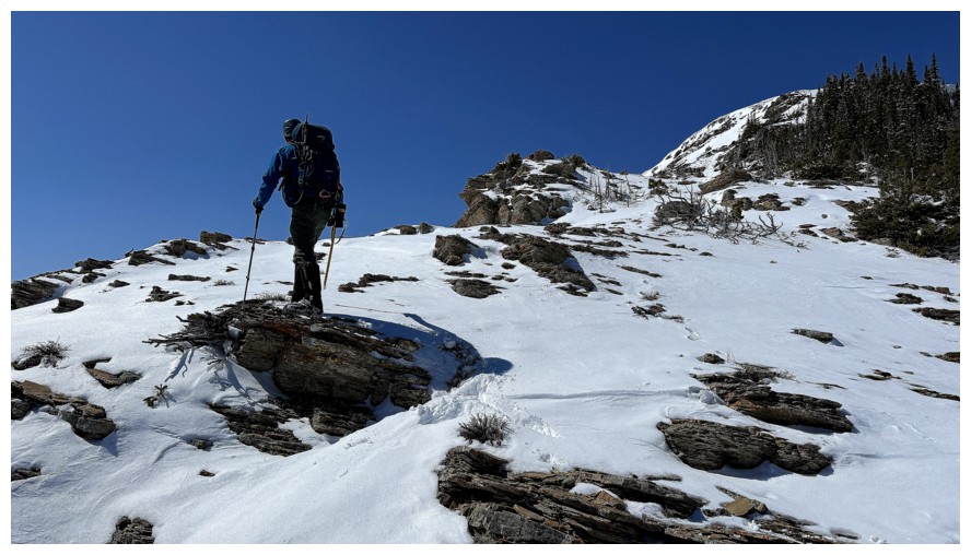
The start of the traverse to find a potential route up
The awesome south ridge of Bluff behind (photo by Dave)
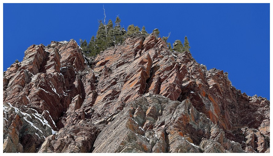
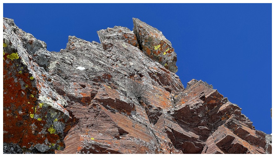
A good sign that we are in for some terrific rock scenery
I can only think of a Creamsicle here; or better yet, an Orange Creamsicle Float (photo by Dave)
The traversing continues
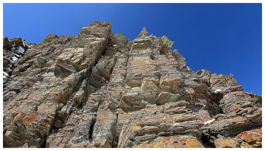
The amazing rock above continues
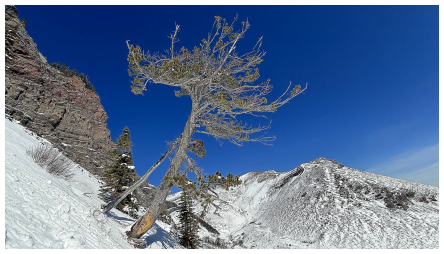
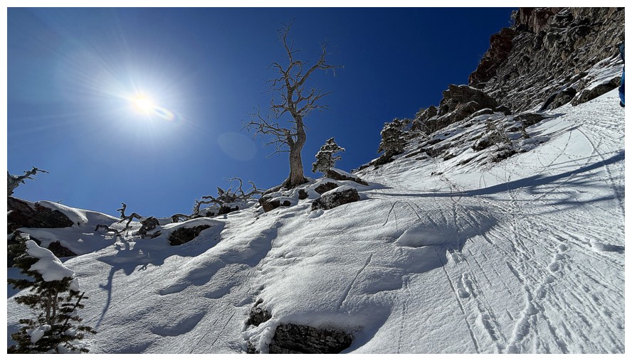
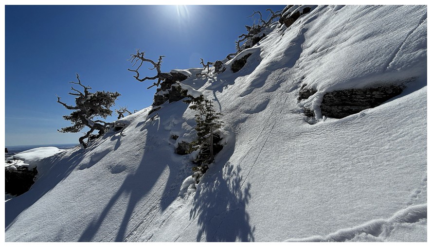
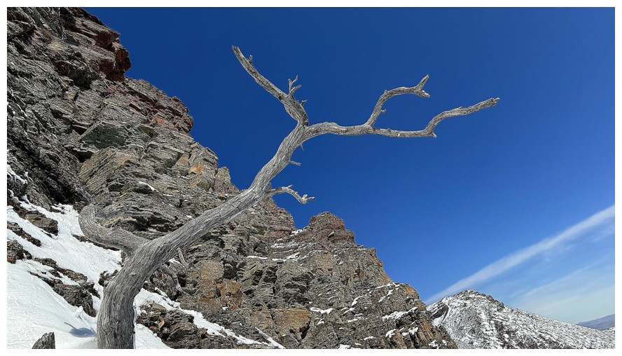
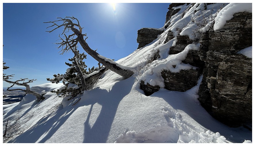
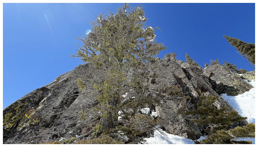
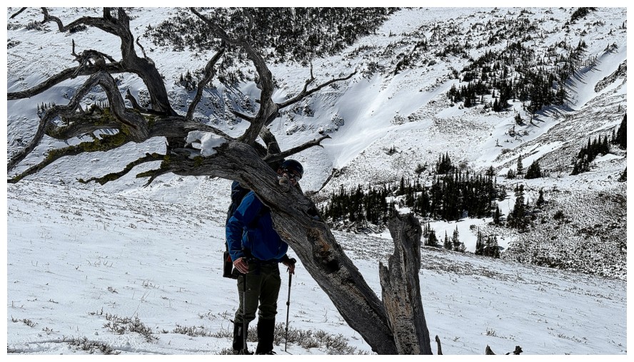
The first of several cool, lone trees
The second, sorta'
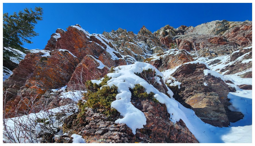
Colours galore (photo by Dave)
And striking rock galore
This couloir would probably lead to some serious technical climbing
And so we continue to traverse. Dave is eyeing something up.
Ah...he is not immune to the seductive lure of red argillite! (photo by Dave)
Dave continues
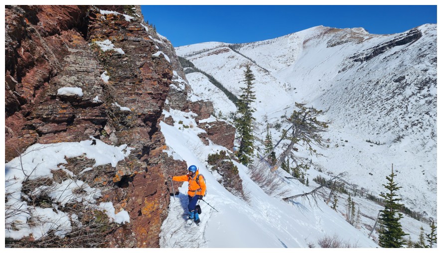
And its my turn to have an intimate moment with the red rock (photo by Dave)
Passing by another snowy passage up the peak
But this one won't go either
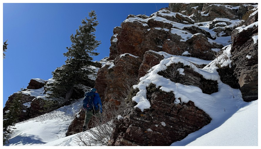
Dave leads the way down and around the next obstacle
I follow (photo by Dave)
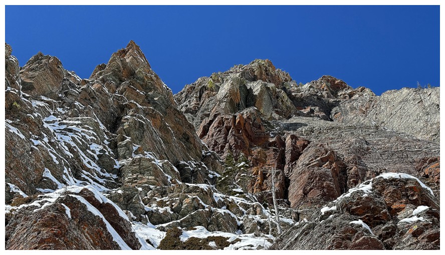
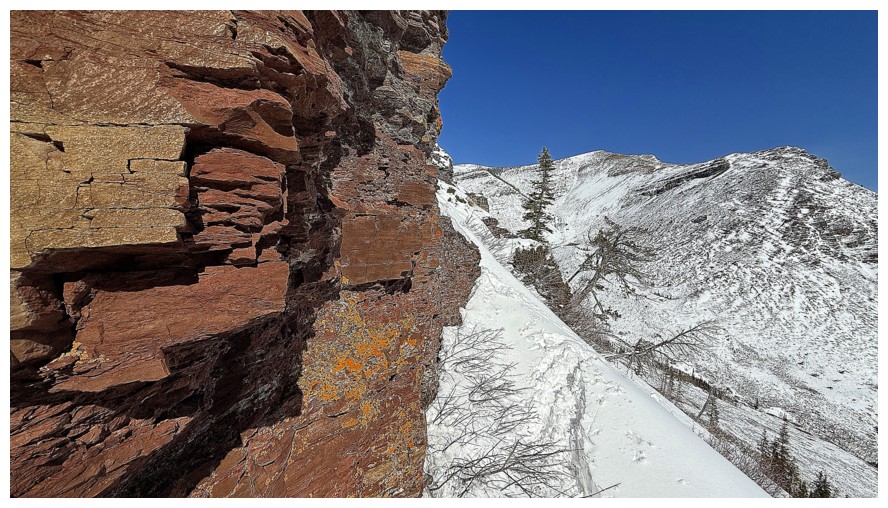
We haven't even begun the ascent in earnest, but I can't get enough of the stunning rock above
Closer look
The red argillite band above
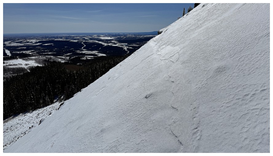
Even in the short traverse time so far, a noticeable amount of snow has melted off Prairie Bluff
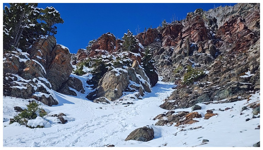
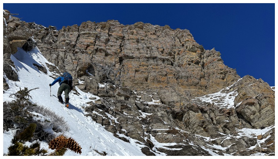
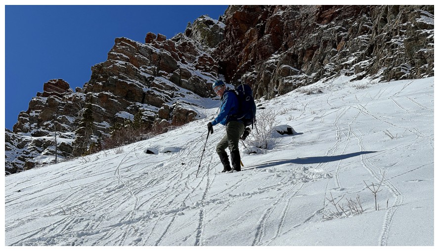
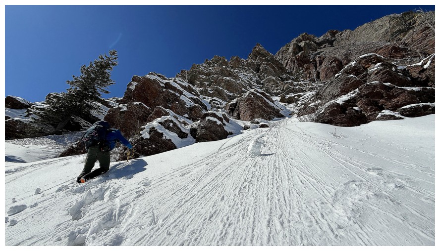
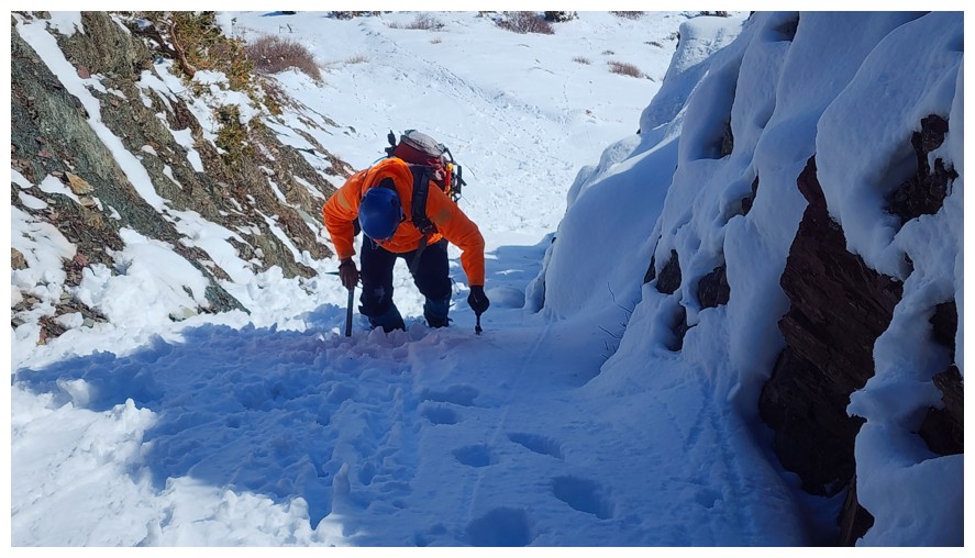
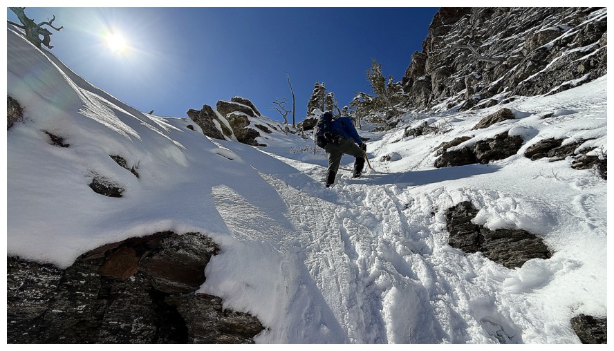
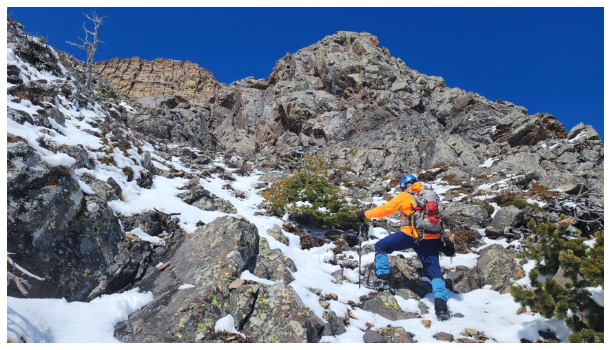
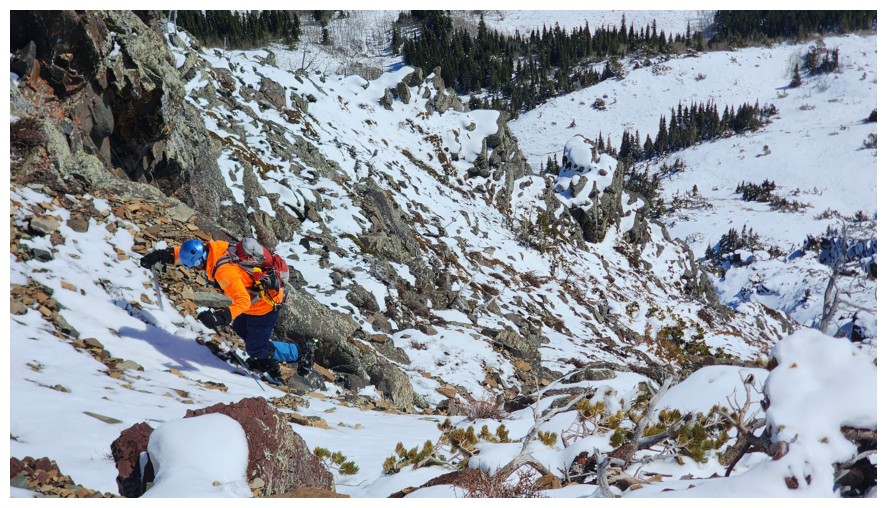
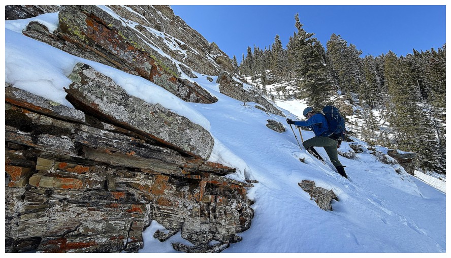
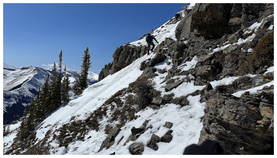
Hey...how you doin'? This is base of the couloir we would ascend (photo by Dave)
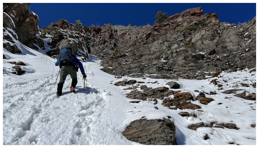
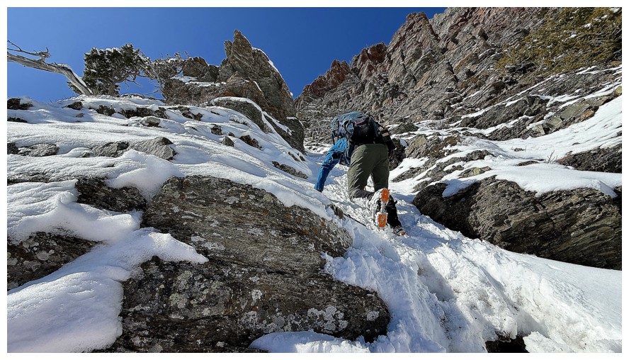
Dave starts up
Quickly approaching a narrower section of the couloir
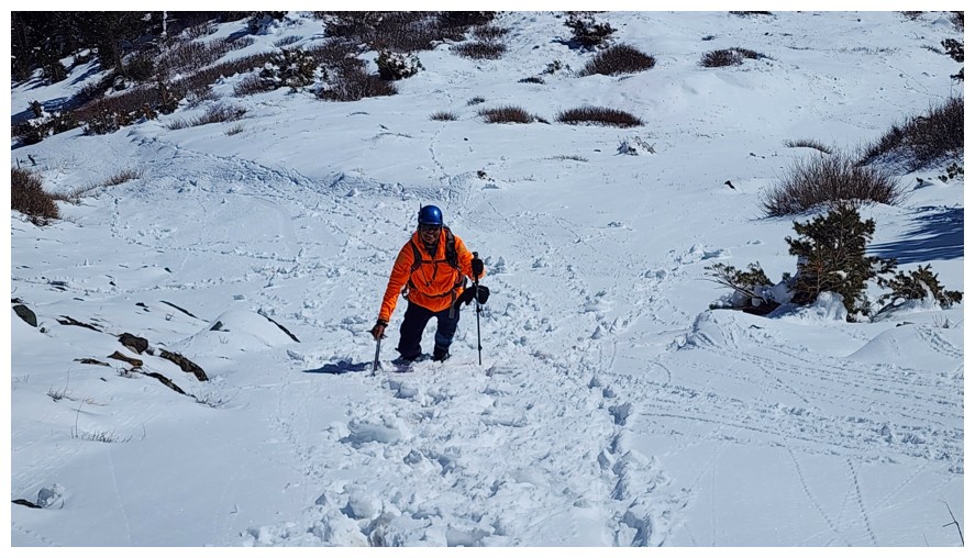
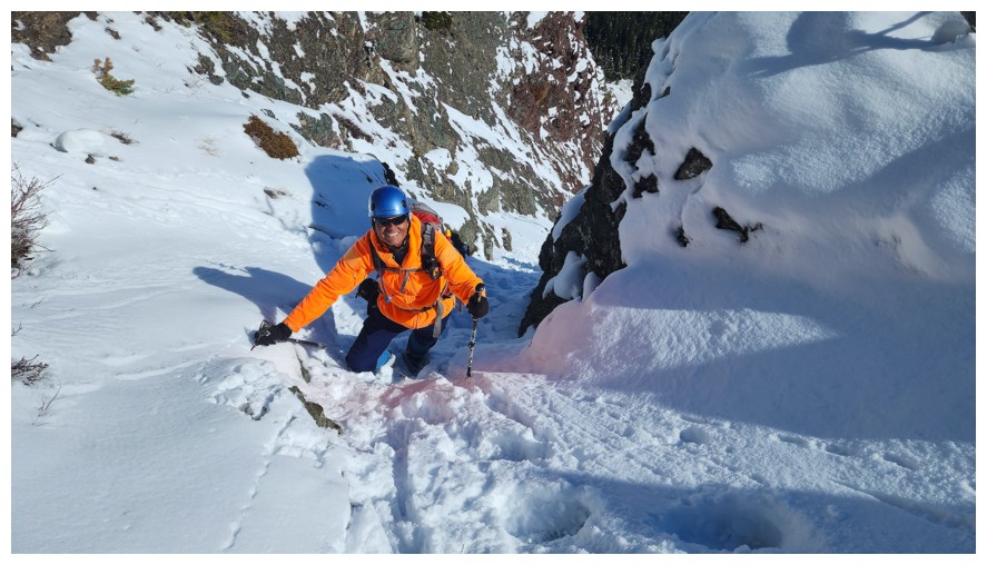
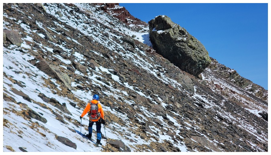
I'm never difficult to locate with the bright orange jacket - still hoping Baerskin will someday make it in bright yellow! (photo by Dave)
Happy to follow in Dave's big steps (photo by Dave)
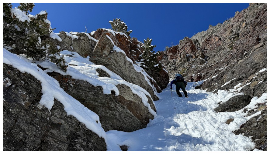
Dave rounds a bend
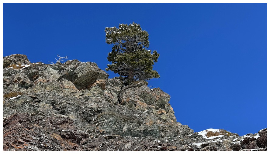
Third lone tree
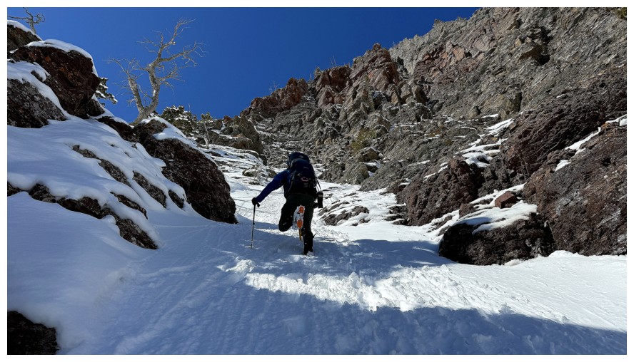
The couloir opens up in front
Love the fourth! (photo by Dave)
My view of the fourth
Dave leads one of the steeper sections
Above it
Me too and expressing my happiness (photo by Dave)
Fifth
A few metres of easy terrain before more challenges are reached (photo by Dave)
The sixth and the route I would take
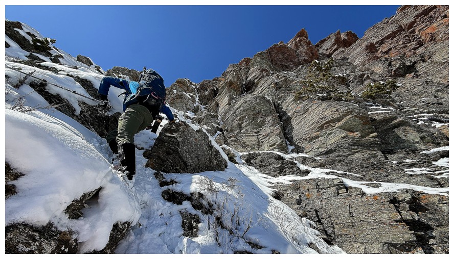
Dave chose a steep line to the right
My route to the left (photo by Dave)
Dave on the right, amid the beautiful rock
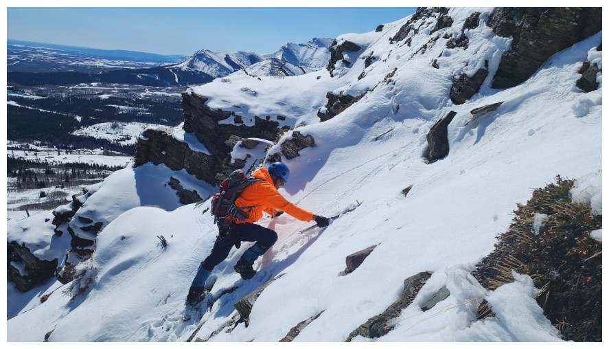
Happy for an ice axe. Though unlikely, an unarrested fall here would have been very bad (photo by Dave).
Dave is atop another steep section
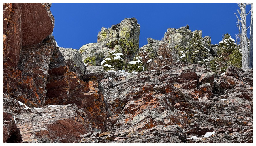
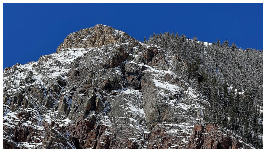
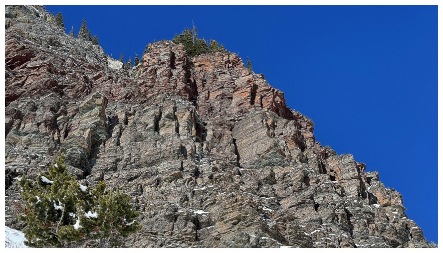
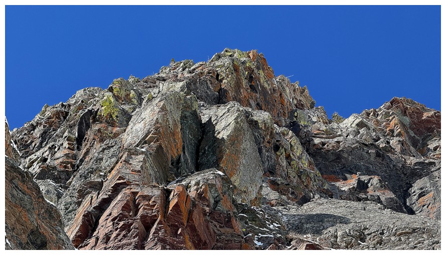
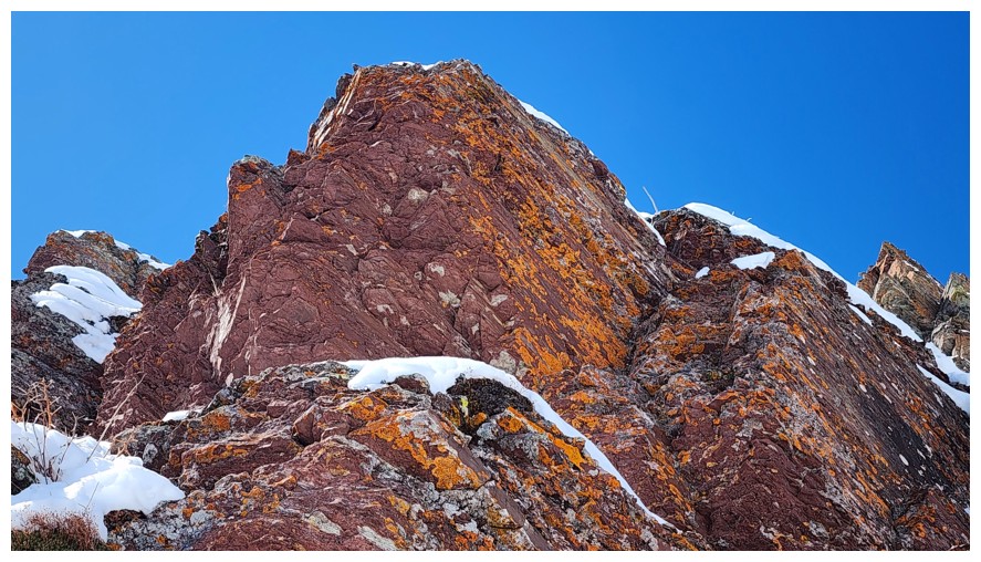
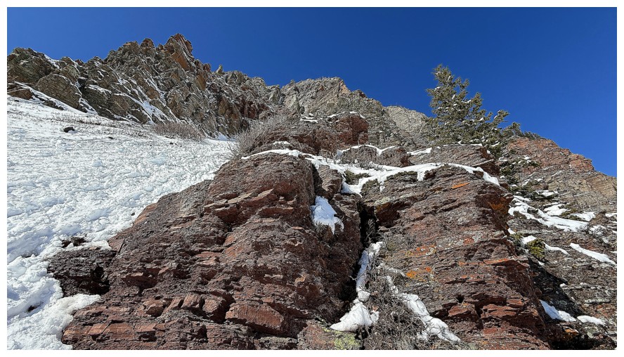
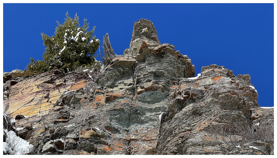
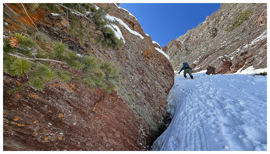
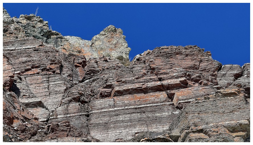
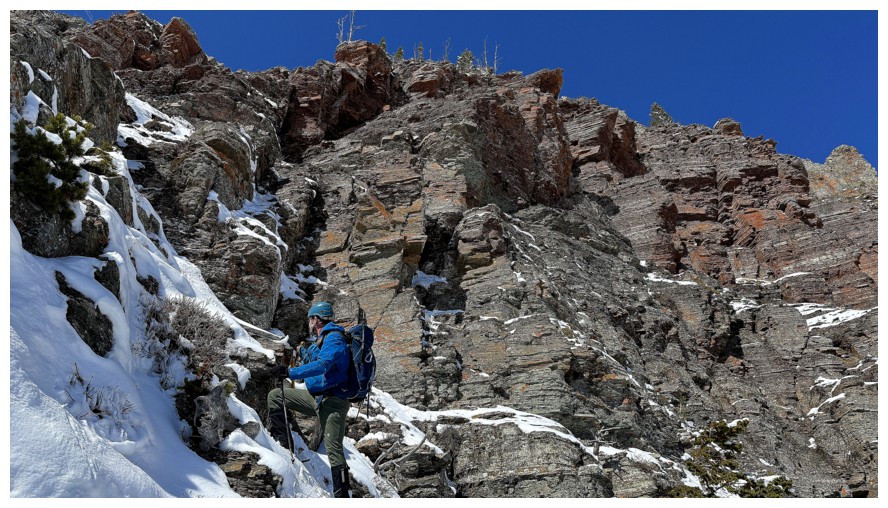
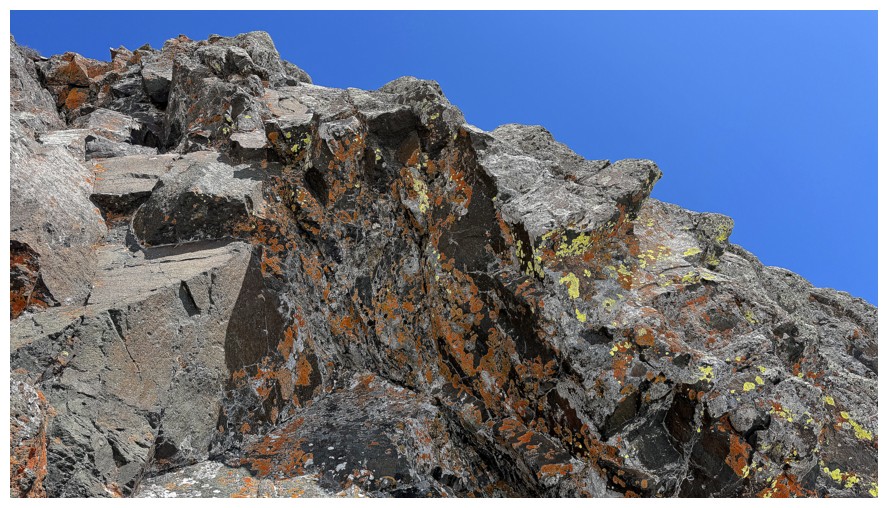
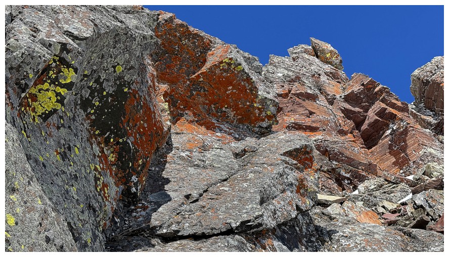
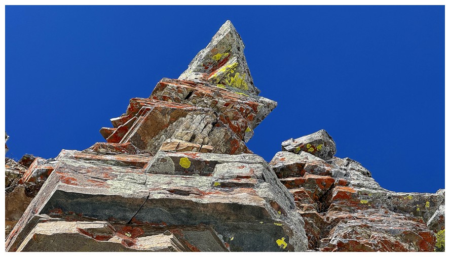
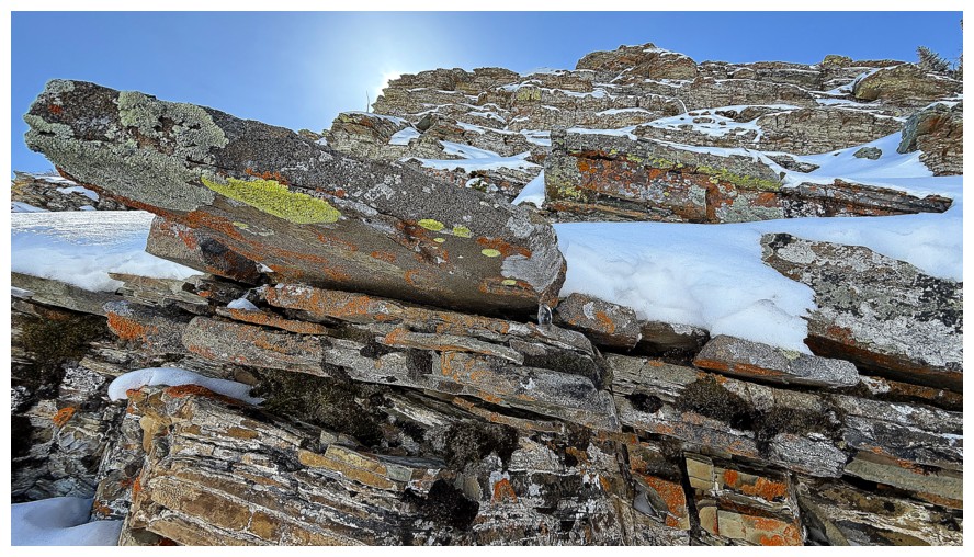
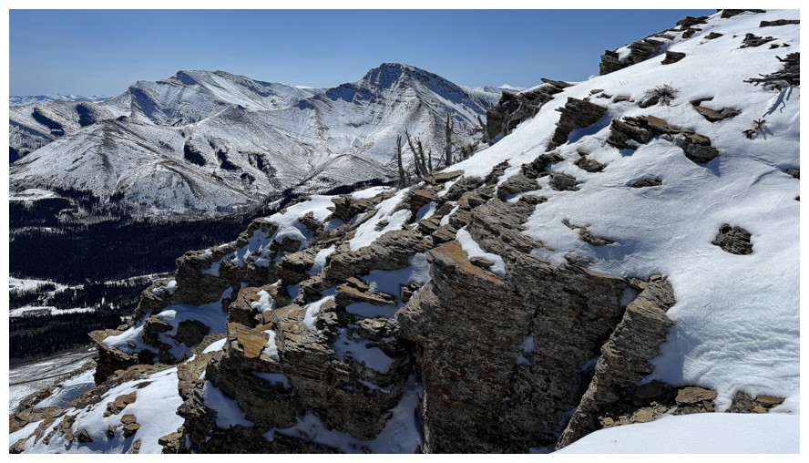
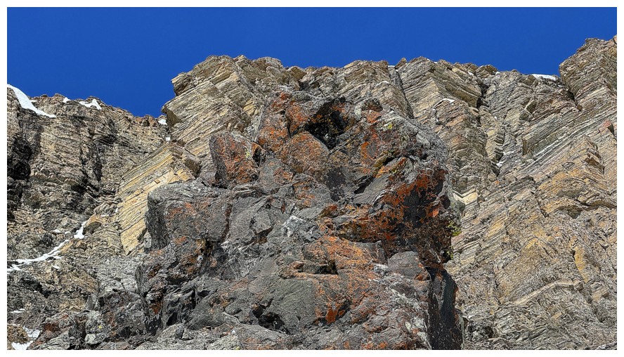
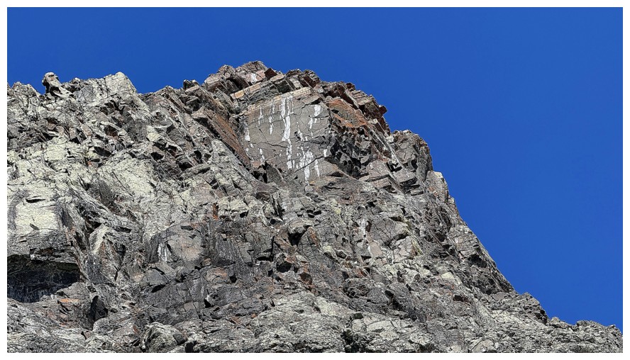
Where the red argillite meets the lichen-covered igneous rock. So many amazing examples of this geological marvel throughout The Castle, Waterton, and Glacier National Park.
Back to following Dave (photo by Dave)
One of my favourite aspects of the Southern Alberta Rockies is when you
can see the three dominant rock layers and their distinctive colours:
red argillite, the dark igneous layer, and the light brown/orange
limestone/dolostone
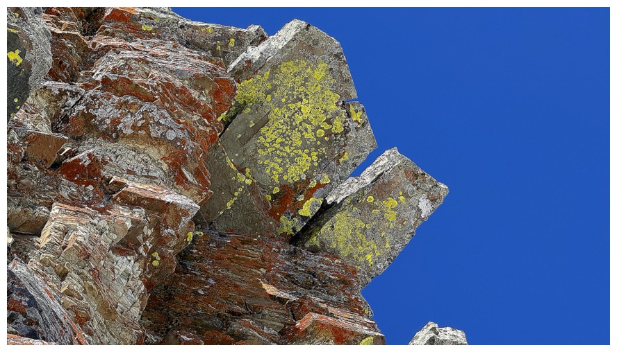
Just the igneous and limestone
Dave ascends the last vestiges of the argillite
Onto the igneous rock
Same as above (photo by Dave)
Lichen on solid magma
Dave leads again
I'll be preoccupied with this for a wee bit
Continuing up (photo by Dave)
Distracted again
Spot Dave at the left
He tackles the second last short, but steep section
Mesmerized
Approaching the last steep step
I wandered more to the right
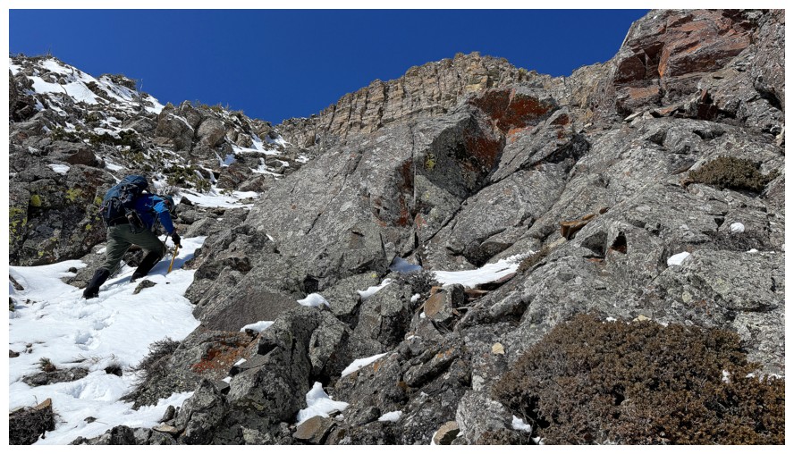
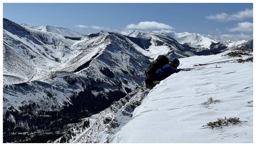
Dave takes a very steep line up to the base of the orange band
I took a less steep line and ended up right under the immense wall of rock (photo by Dave)
Couldn't resist following the base of the band to the end (photo by Dave)
Another no-fall zone (photo by Dave)
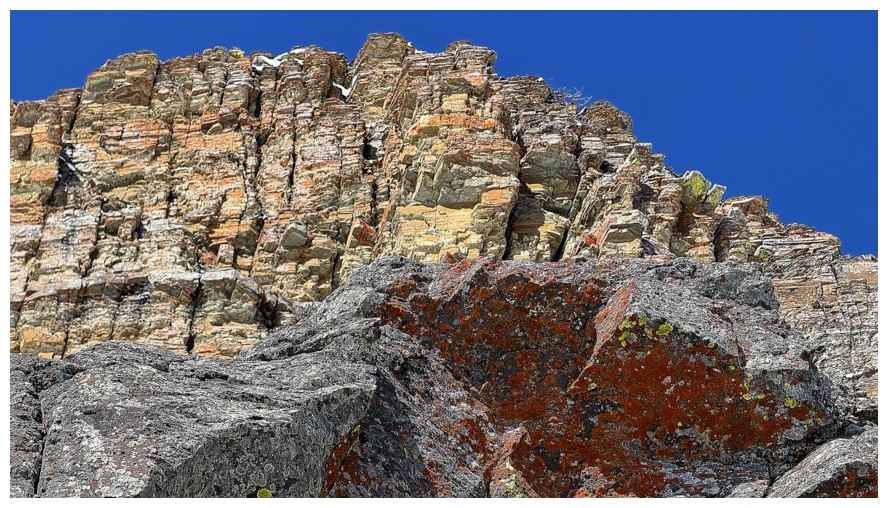
Good depiction of the how vertical and big the rock band is (photo by Dave)
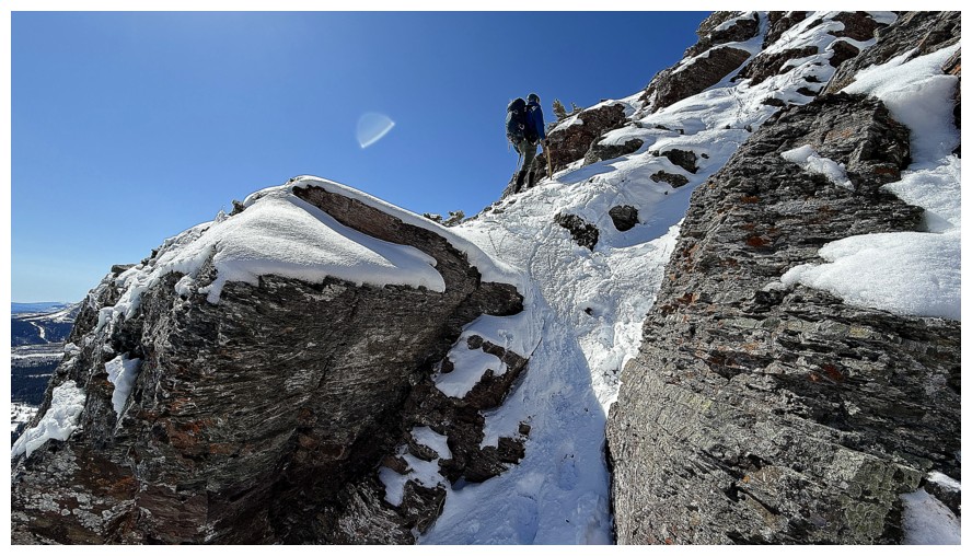
Dave starts traversing over
Looking up
There's more to traverse around the first corner
One of my favourite scenes of the day. Love the contrasting colours, the angles, the straight lines, and that stunning blue sky.
Same as above
Continuing around the corner (photo by Dave)
There could be a very steep scramble route up here, but not when there's any snow and ice on the route
Another place where you want your ice axe ready
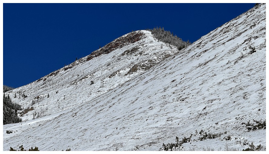
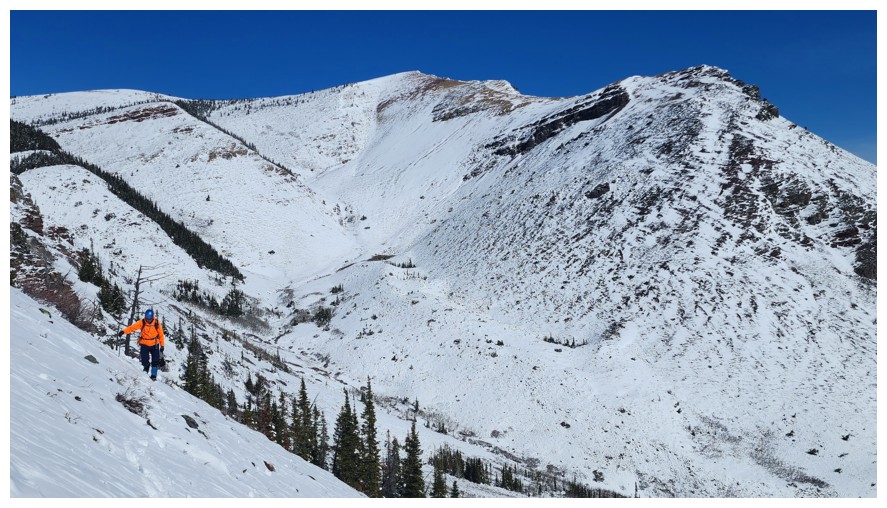
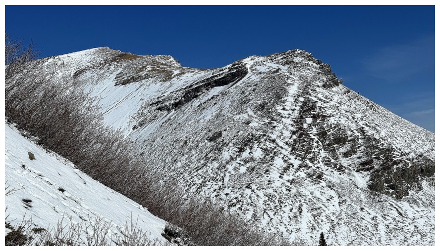
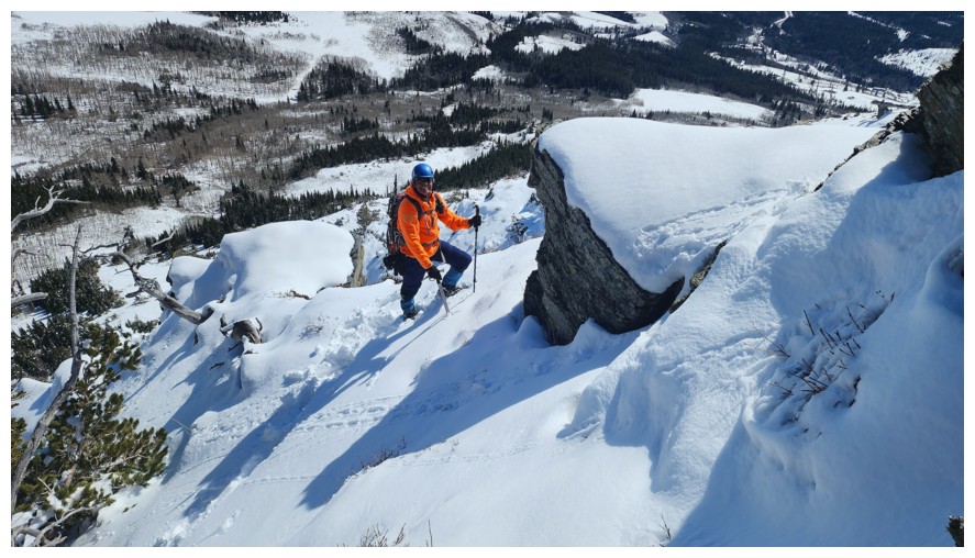
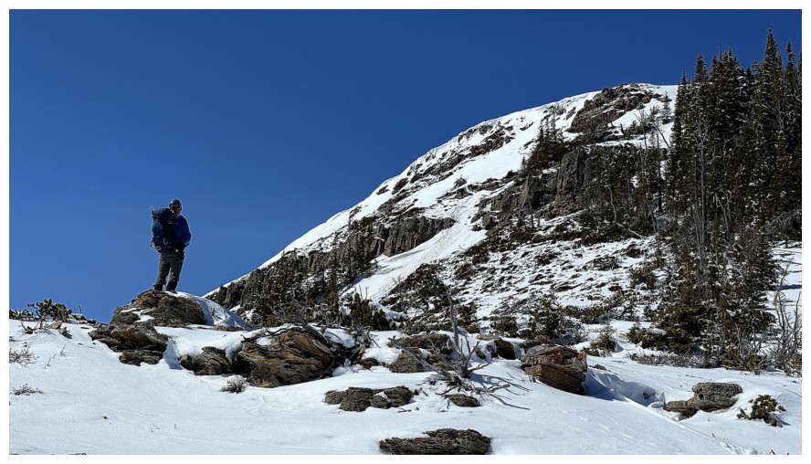
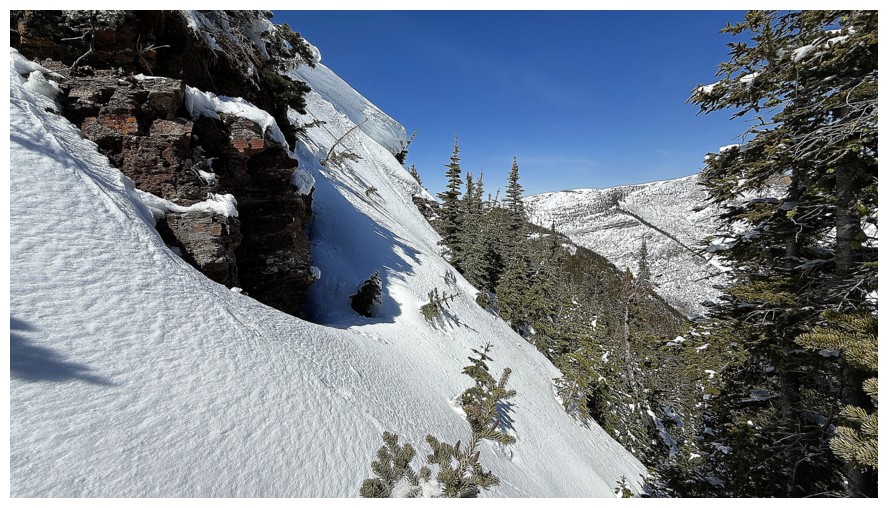
Around the second corner the terrain eases up and Prairie Bluff is visible again
Looking up and mesmerized again
Dave picked a great line up the end of the rock band. Travel further right looked pretty sketchy.
Nice to get a short break from the Sun and still enjoy the beautiful rock
A dark Creamsicle looks foreboding and threatening, like this interpretation of Winnie the Pooh (photo by Dave)
The break was short-lived
The real Winne is back (photo by Dave)
Above the band, the summit is close
Drywood Mountain and Pincher Ridge are back to being front and centre
Dave surveys the terrain to the top
Up he goes. This is where our routes joined up with my 2018 route.
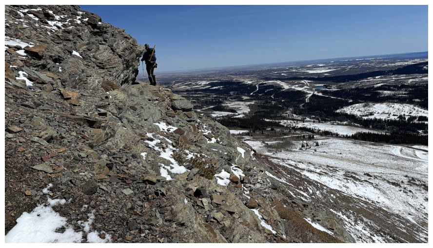
I'm heading right, to check this out
Quick glance over to Pincher Ridge
Some of the route Dave and I took up Pincher Ridge in 2024
The southwestern-most summit of Pincher Ridge (left) and the summit of Victoria Ridge near the right - a loop route taking in all is highly enjoyable (and very tiring!).
Dave starts his final assault on the summit
I start my final (visual) assault on the rock band
Same as above
Next time I see Dave, he'll be in a very compromising position
Nice tree
The top is only steps away for Dave (photo by Dave)
Looks easy, but it's deceivingly steep (photo by Dave)
My route (at the right) is also steep, but easier than Dave's
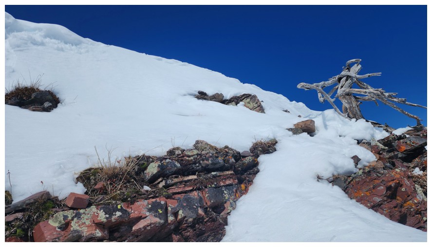
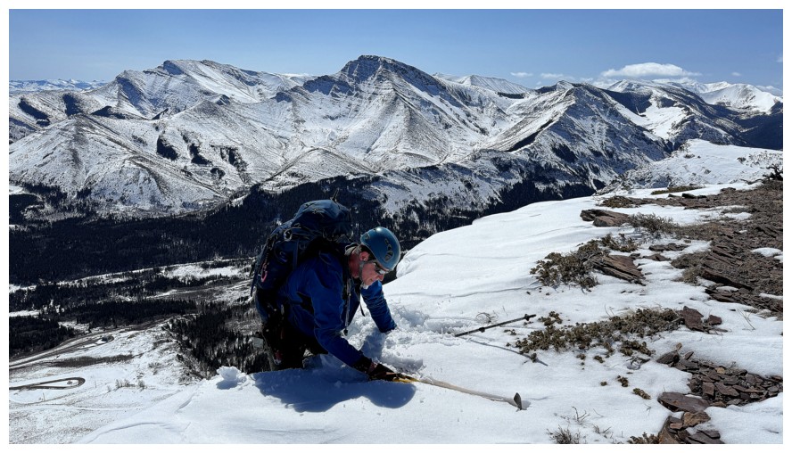
First, I have to check out this cornice
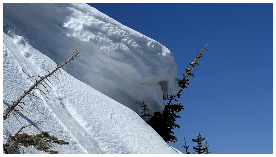
Close-up
Heading up the left side
Dave's compromising position, as he breaks free from the rhino's womb
Good ice axe placement
Dave's looks down his route
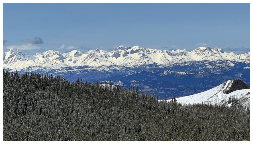
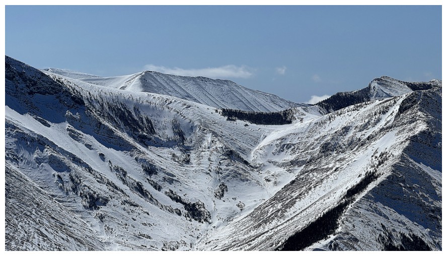
The Flathead Range to the northwest
Pengelly (centre), McGladrey, and several outliers
A gas well near the summit of Fire in the foreground and Crowsnest Mountain in the background
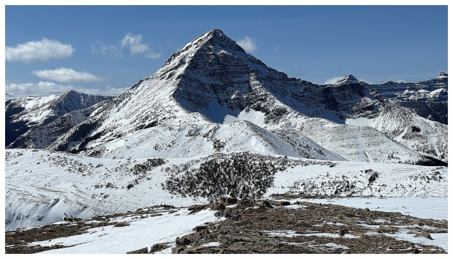
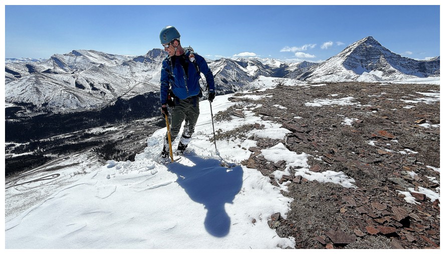
Victoria Peak
Prairie Bluff
Drywood and Pincher again (photo by Dave)
If I had ten thumbs instead of two, they'd all be up for this route (photo by Dave)
Dave thoroughly enjoyed it too
Castle Peak
Windsor Mountain
Mount Darrah (photo by Dave)
Mount Gladstone (photo by Dave)
Summit panos
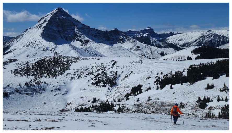
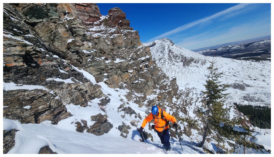
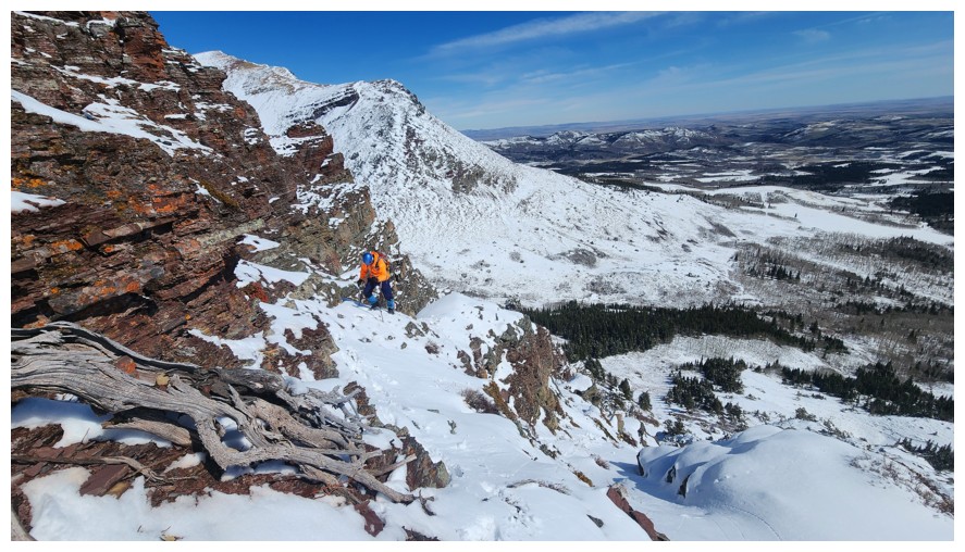
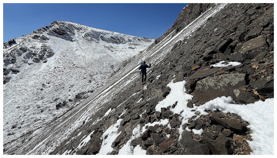
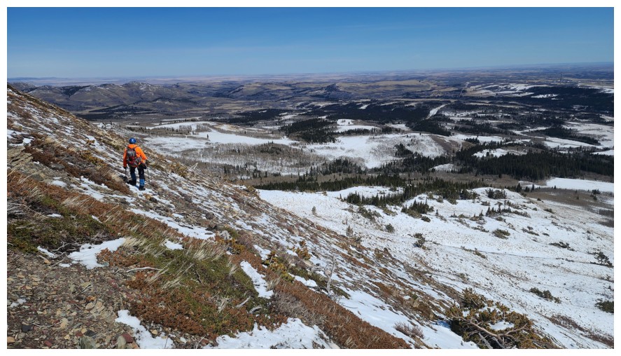
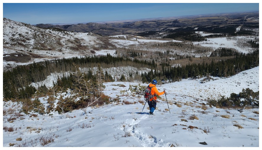
Heading down the scenic and sane descent route (photo by Dave)
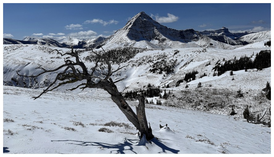
The descent route has cool trees too
And Dave just got his head caught in it!
Either he freed his head or his photography skills are second to none! (photo by Dave)
Close-up of Victoria's steep east face
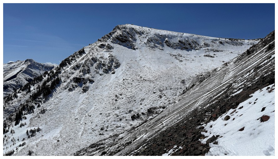
The northeast side of Prairie Sky looked quite Himalayan (photo by Dave)
Close-up
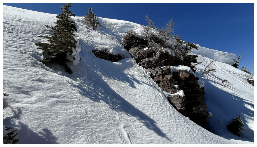
Start of the incredible rock band that wraps around the south side of Fire
Close-up
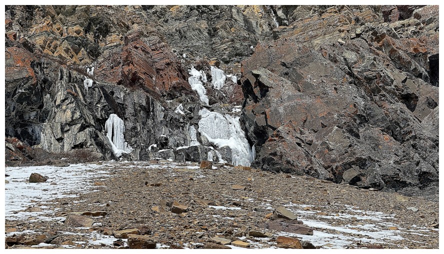
They were some huge ice formations on my November, 2018 ascent
BIG BOULDER (photo by Dave)
Dave and Prairie Sky. Hard to see, but there is a trail on this slope.
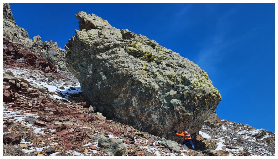
Had to try to push the boulder back to its starting point. I failed (photo by Dave).
Another cool rock formation I recall from 2018
Leaving the boulder (photo by Dave)
Dave stays high on the slopes
The southeast side of Sky has a whackload of breathtaking rock scenery
I took a slightly lower path
Reunited (photo by Dave)
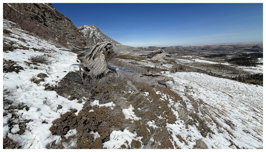
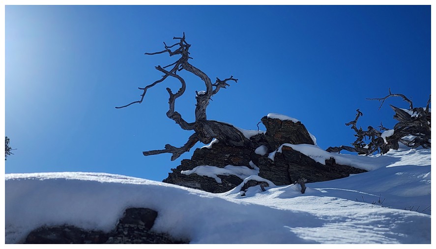
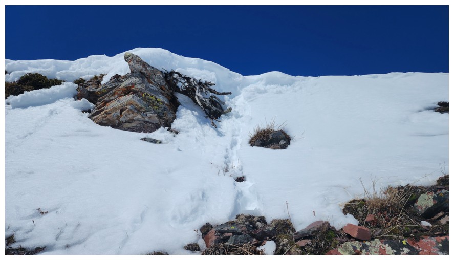
The last dead tree was the most interesting because...
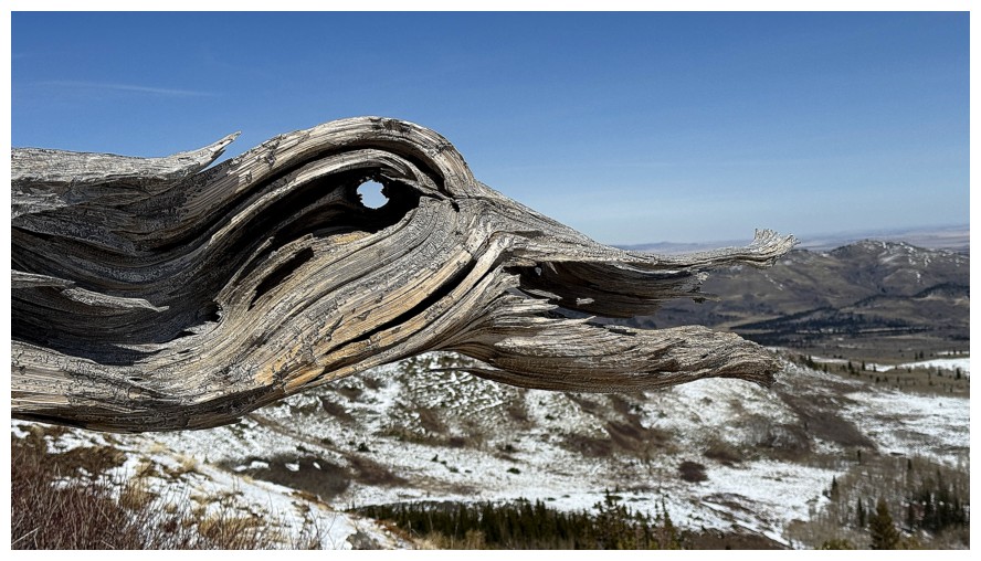
...it looks like a duck
We both descended to easier terrain here to avoid having to downclimb rock bands ahead
Bluff has lost about half its snow over the day
Dave
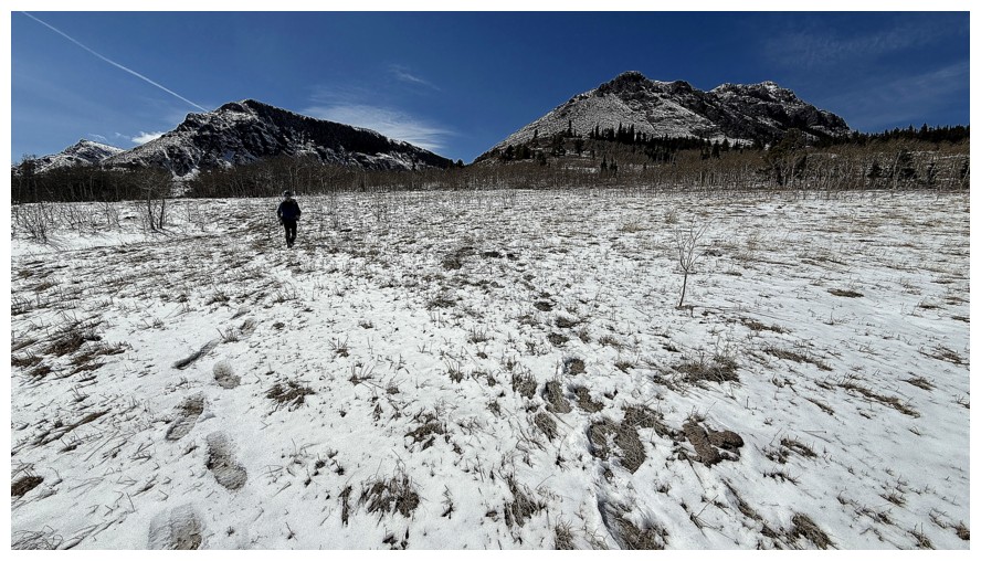
suggested we try a shorter, more direct route to get back to the
approach trail and his suggestion worked perfectly (photo by Dave)
Looking back at the couloir we intended to ascend (left) and the one we actually did ascend (right of centre) (photo by Dave)
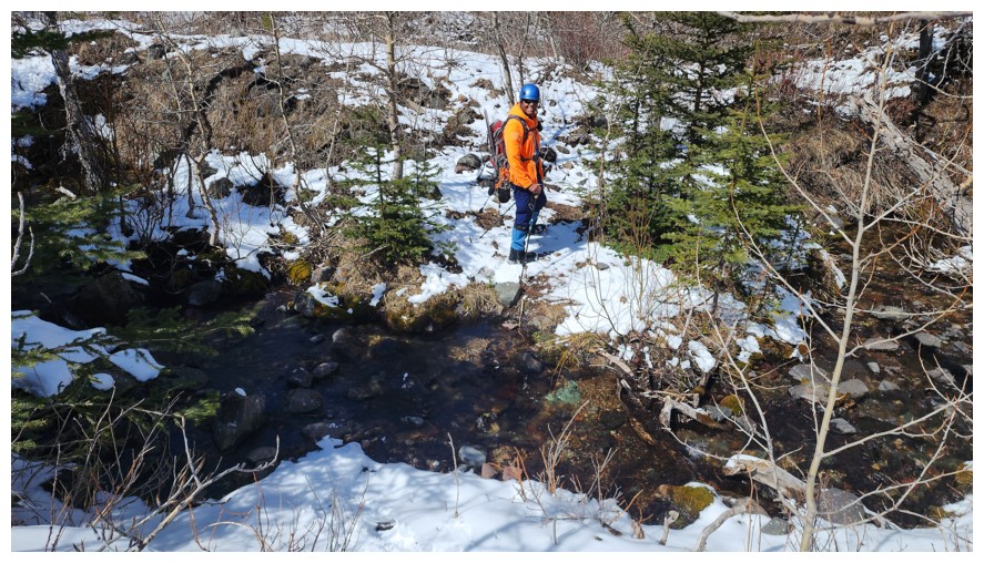
Easy creek crossing (photo by Dave)
Back on the approach trail with the Fire behind (photo by Dave)
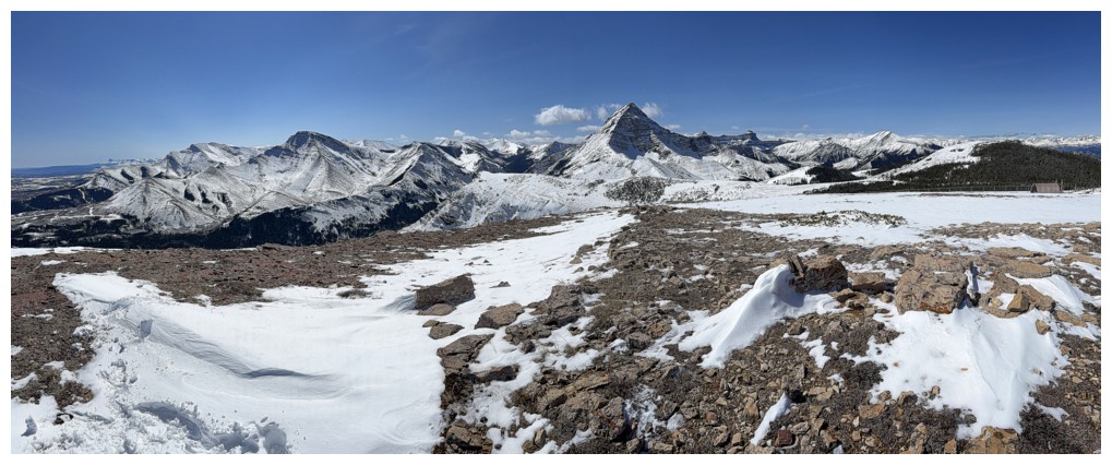
Pano to the south
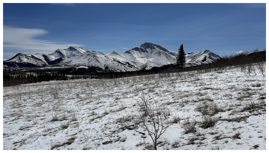
A much less snowy view than the one we had when we started
An outlier of Pincher Ridge - The Horn
Pincher Ridge close-up
Drywood Mountain and the northeast side of Cinch Hill
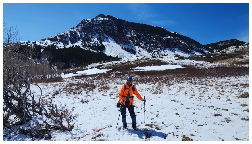
Final few steps of a totally awesome day on a totally awesome route (photo by Dave).
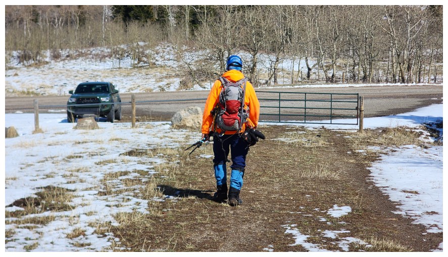
(Not intentional, but I am sporting Edmonton Oiler colours here, even though I'm a Calgary Flames fan - and yes, I do jump on the Oiler bandwagon if the Flames aren't in the NHL playoffs. Go Oilers!)
The End
LOG