October 22, 2025
Mountain height: 2710 m
Total elevation gain: approximately
1100 m
Ascent time: 5:00
Descent time: 4:05
Solo scramble.
As a very
pleasant surprise Pickletooth Mountain will sit with See Peak, SKPP and
Offender Mountain, Headwall Peak South, Newman Senior VI, Prairie Sky V, and
Siyeh Pass Peak and Little Matahpi in the list of my favourite trips of 2025 so
far.
 After ascents
of Picklewood Peak and Highwood Peak South earlier in the year, I thought I was
done with trips in the Picklejar Lakes area for the time being. That was until
I saw Devan Peterson’s Facebook post describing his ascent of Pickletooth
Mountain. Devan had also tacked on Picklejar Peak SE1 and then gone back a week
later and done Pickletooth and Dogtooth, also in a single trip – the man is a
peak-bagging machine, on a completely different level than anyone I’m aware of
– hats off to Devan. Lacking the speed, stamina, and pure scrambling abilities
of Devan,
After ascents
of Picklewood Peak and Highwood Peak South earlier in the year, I thought I was
done with trips in the Picklejar Lakes area for the time being. That was until
I saw Devan Peterson’s Facebook post describing his ascent of Pickletooth
Mountain. Devan had also tacked on Picklejar Peak SE1 and then gone back a week
later and done Pickletooth and Dogtooth, also in a single trip – the man is a
peak-bagging machine, on a completely different level than anyone I’m aware of
– hats off to Devan. Lacking the speed, stamina, and pure scrambling abilities
of Devan, 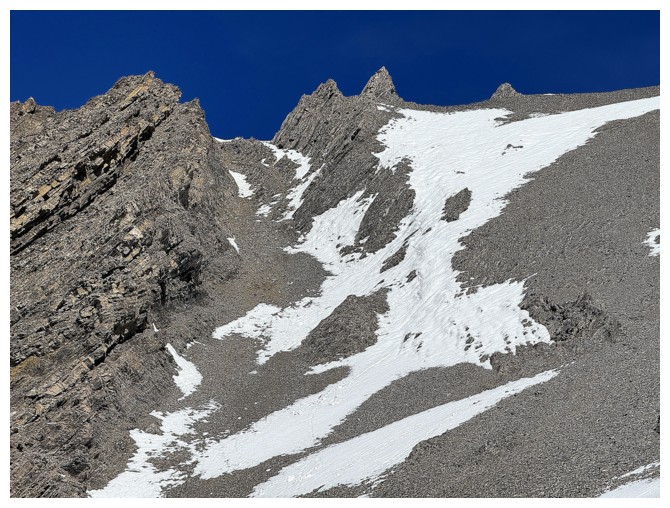 I chose Pickletooth Mountain alone as the day’s objective (I mean who
wouldn’t want to spend 10 hours with a pickletooth!).
I chose Pickletooth Mountain alone as the day’s objective (I mean who
wouldn’t want to spend 10 hours with a pickletooth!).
I had not hiked
the Lineham Creek trail since long before the 2013 flood, so this would be a good
opportunity to see how the flood changed the trail. In general, not much. There
are several sections where the trail has been washed out, but a new trail has
developed and as long as you stay left, it’s not too hard to follow. Once I
gained the ridge that leads to Linehan Creek Peaks, it was time to turn north
and travel new terrain. I was surprised to find a well-worn trail heading
towards the valley where Pickletooth sits. Once that trail started to descend
into the Picklejar SE1 valley, I turned right and descended to the creek that
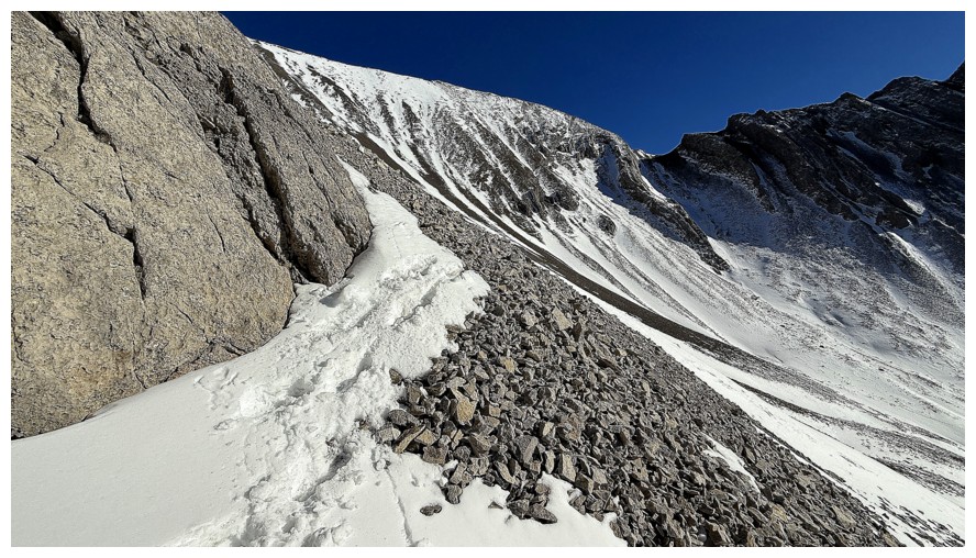
emanates from the Pickletooth valley. 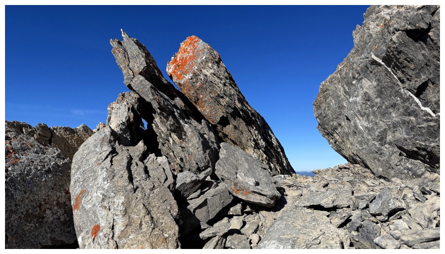 Good thing I had chosen to wear winter
boots for this trip, as the next few kilometres were all snow.
Good thing I had chosen to wear winter
boots for this trip, as the next few kilometres were all snow.
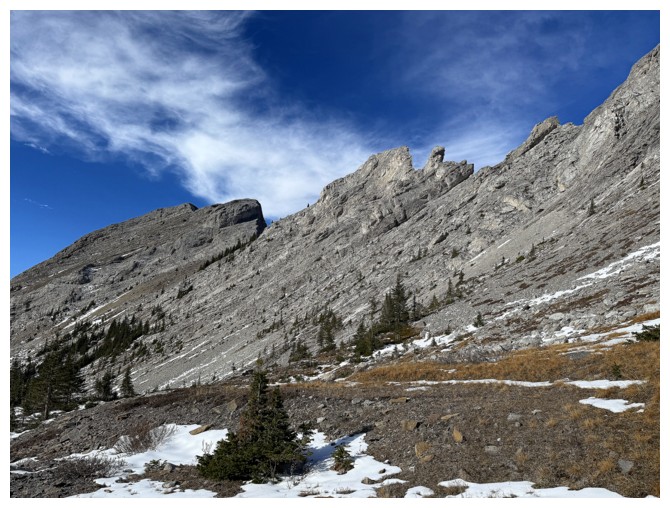
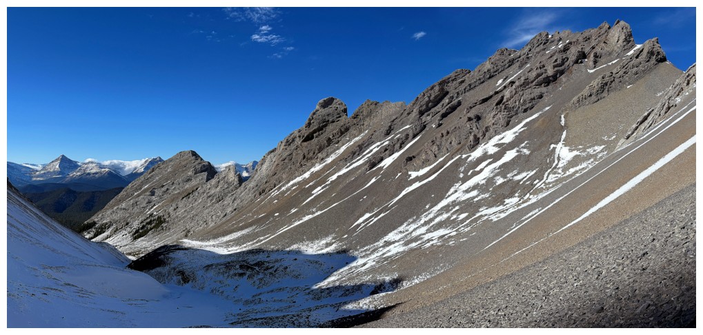
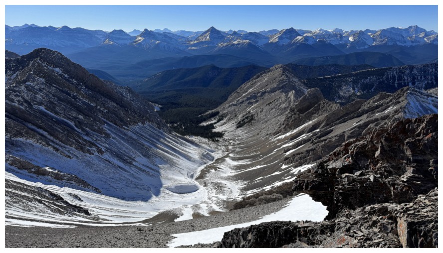
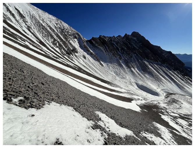
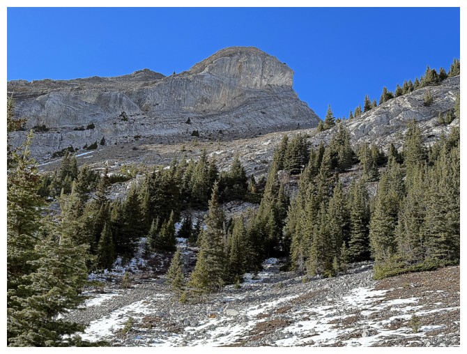
Up to this
point, the trip had been scenically benign and quite unremarkable. However,
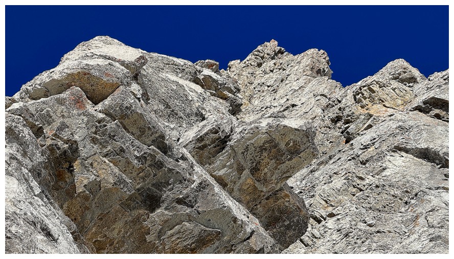
this was about to change, courtesy of striking rock on both sides of the Pickletooth
valley, clear blue skies, and the aforementioned snow; once above treeline I
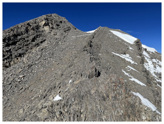
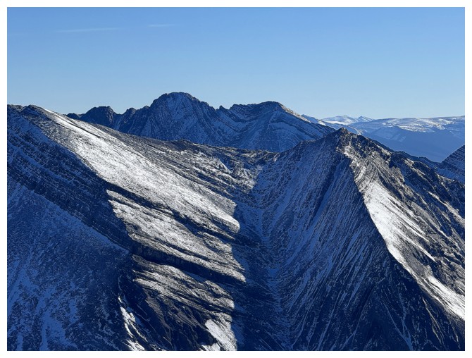
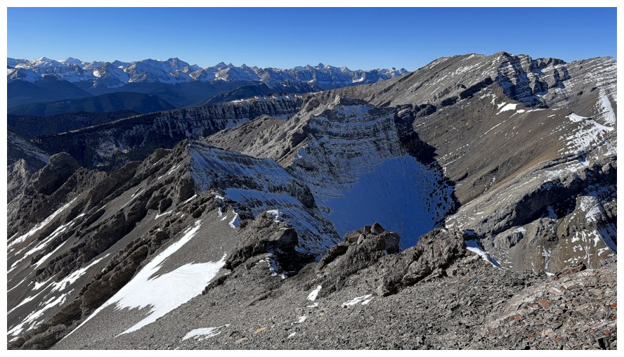
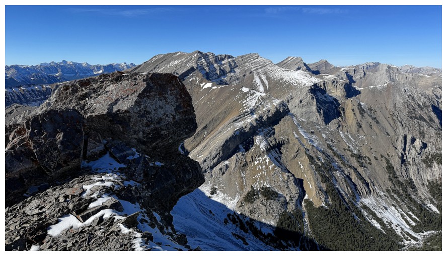
was treated to all, in spades. The stunning connecting ridge between
Pickletooth and an outlier to the southwest drew my attention throughout – I
think even Alex Honnold would balk at the proposition of traversing it!
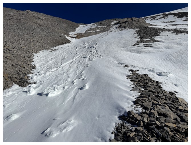
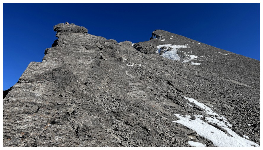
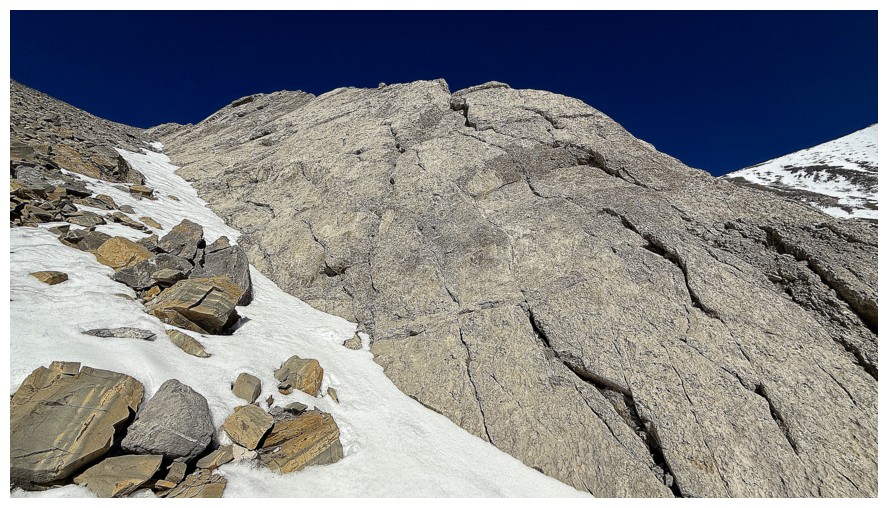
Taking Devan’s
advice to tackle the summit directly, as opposed to first gaining the col to
the south, I embarked on a very shortened slog to the top. The snow here was a
godsend, allowing me to kick-step up the slope almost in its entirety. Familiar
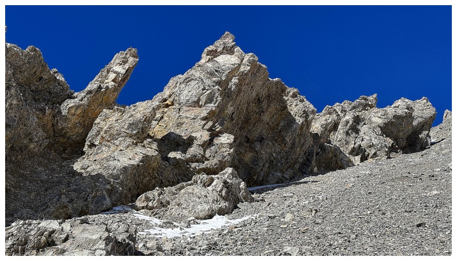
peaks started to pop up to the west and the rock on Pickletooth itself continue
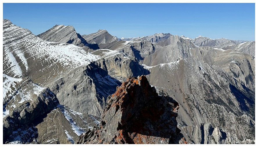
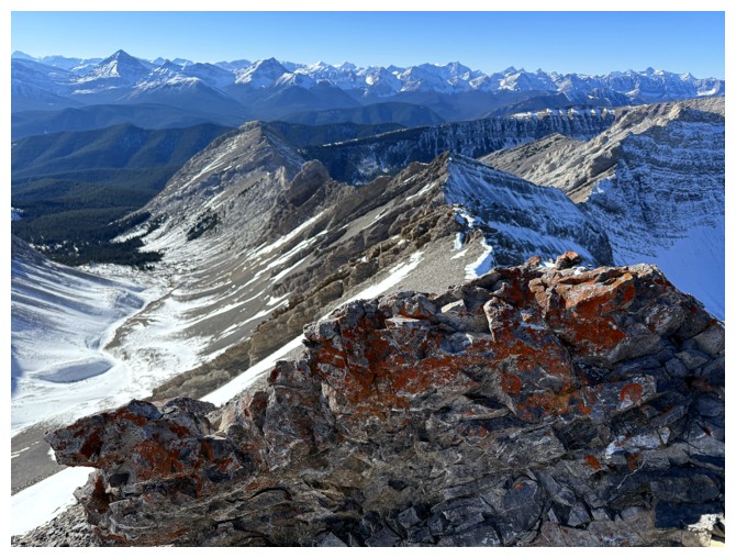
to stop me dead in my tracks to take way too many photos. However, the real treat
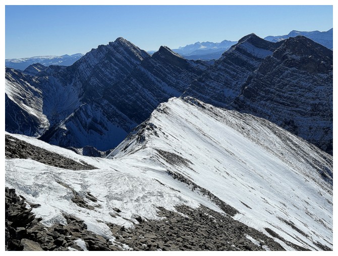
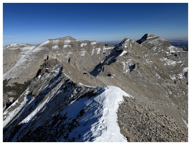
came right at the top. Views towards the highest peak of the Dogtooth Mountains
(i.e. what has now been labelled as Dogtooth Mountain) were breath-taking, as
were those towards Trap Peak (GR628936) and Mount Head to the south. The
serrated ridges branching off from Pickletooth looked terrifying but strangely
tempting.
After taking
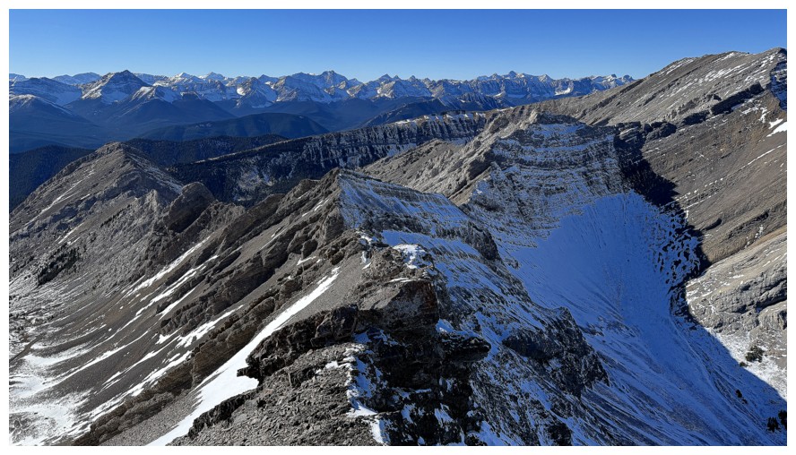
several millions summit photos, I started down, deciding to descend the west
ridge for as long as possible and then head down scree slopes to the valley.
This route turned out to be outstanding, again featuring outrageously
captivating rock scenery at every turn. I stayed high on the slopes to best
experience it before joining up with my ascent track back at treeline. The
remainder of the return trip amounted to mindless hiking, with a few terrific
views of Lineham Creek Peaks and Trap Peak.
A wickedly
rewarding day out on one of several surprise trips of the year. I’m definitely
motivated to return to the area for other objectives.
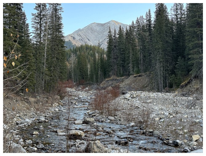
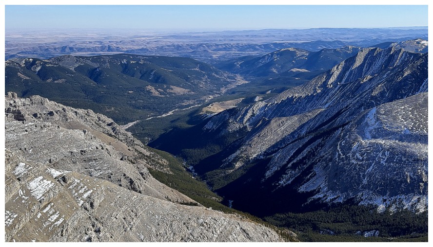
Lineham Creek and Lineham Creek Peaks (GR617954)
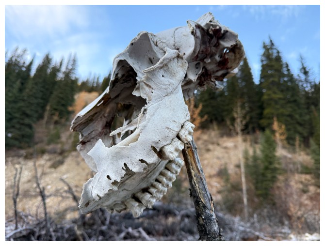
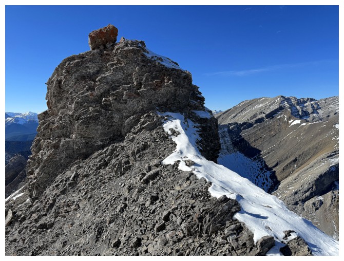
Someone has placed an animal skull on a branch
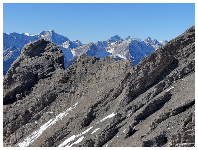
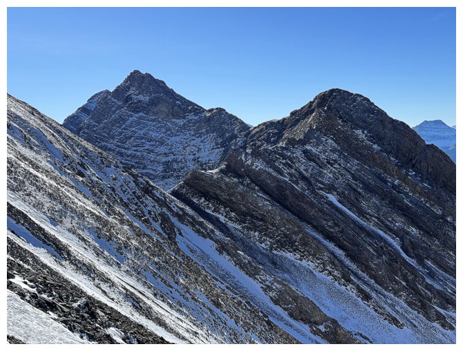
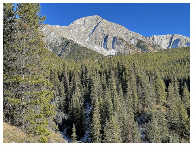
The southwest outlier of Pickletooth
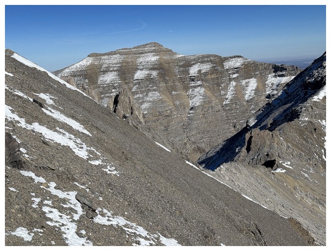
Trap Peak (GR628936)
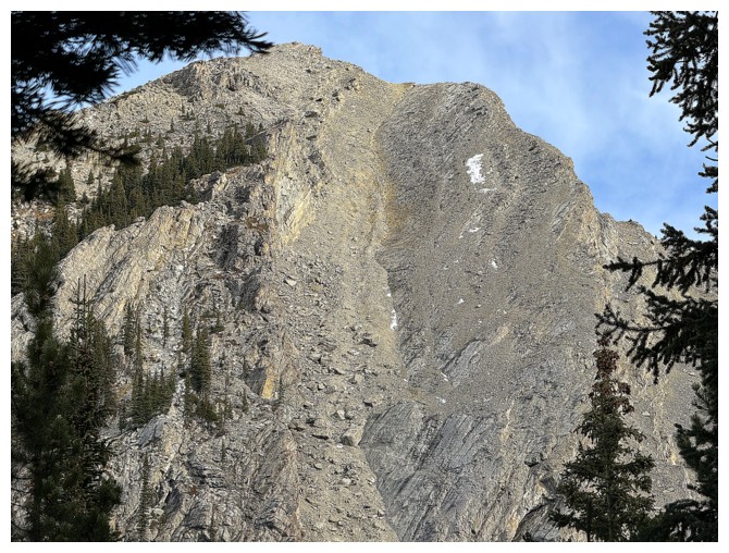
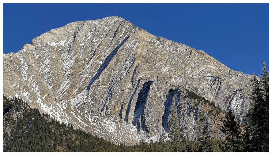
Close up of the outlier - looks like it could be ascended straight up that gully
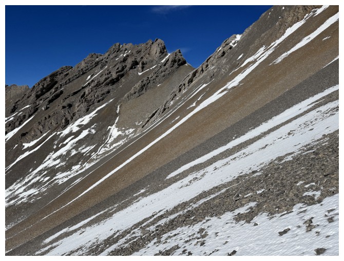
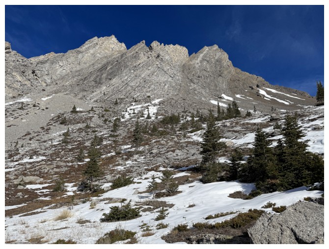
Typical terrain low down in the Pickletooth valley
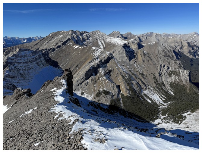
Finally out into the open and admiring the ridge between Pickletooth and the outlier
Rappelling down that would be intense!
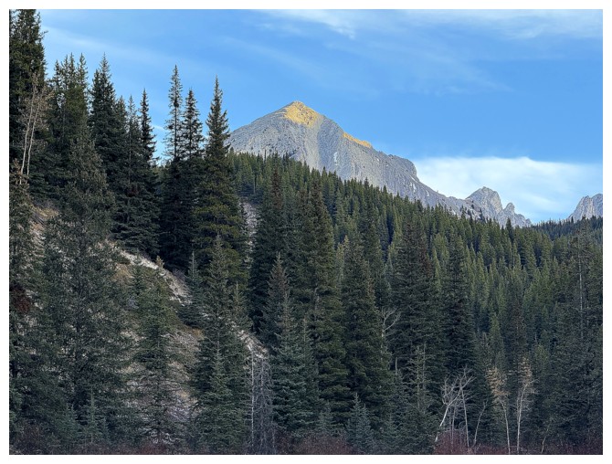
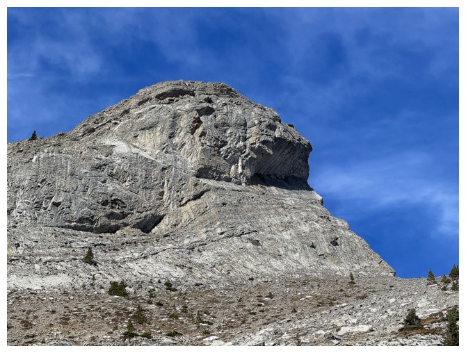
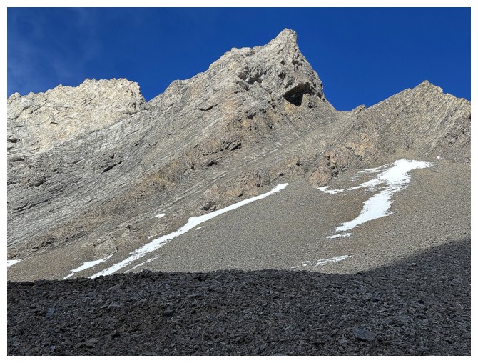
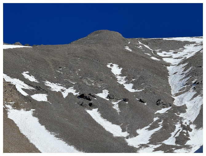
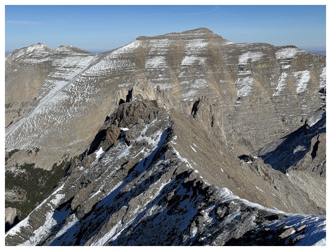
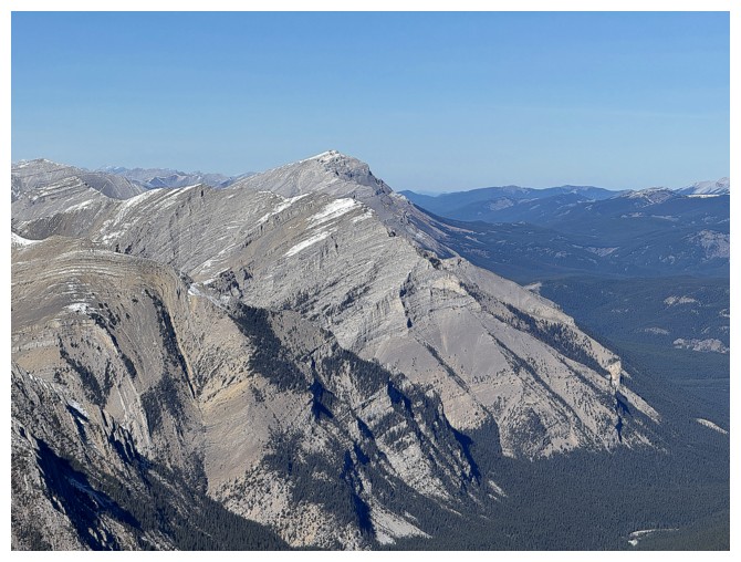
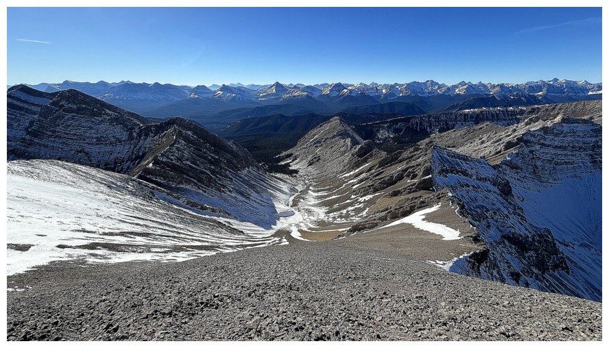
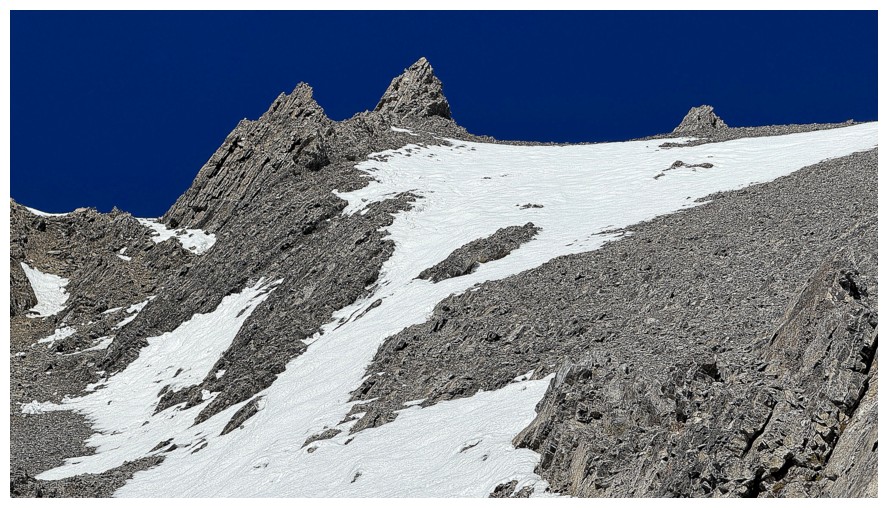
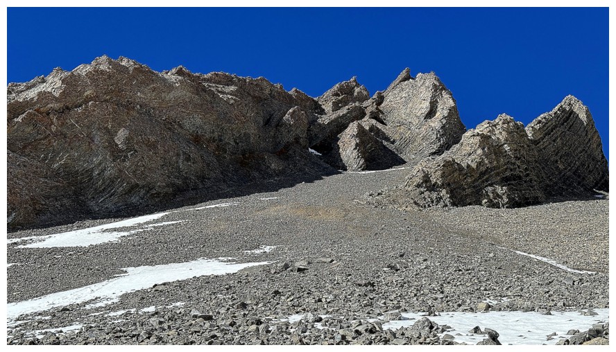
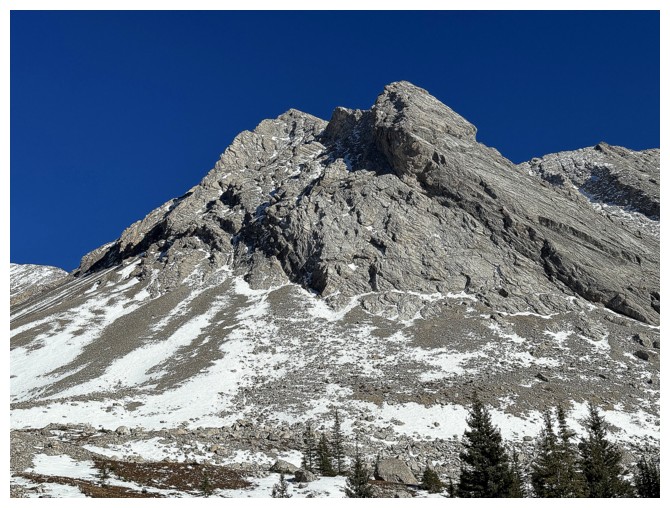
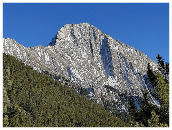
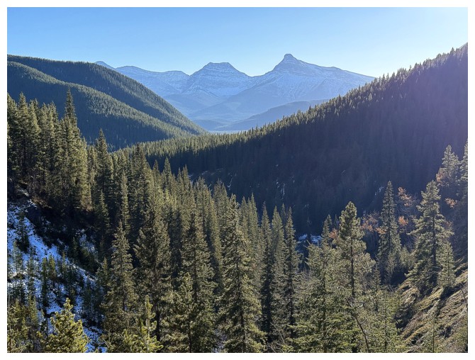
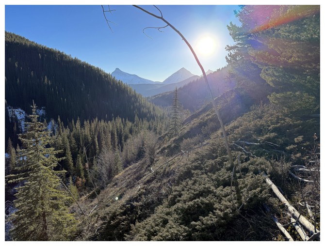
First view of distant Pickletooth Mountain in the centre. It may look lower than the surroundings mountains but it's higher.

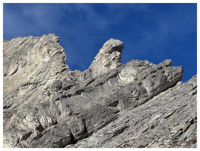
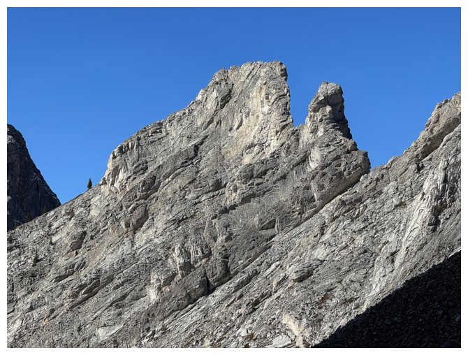
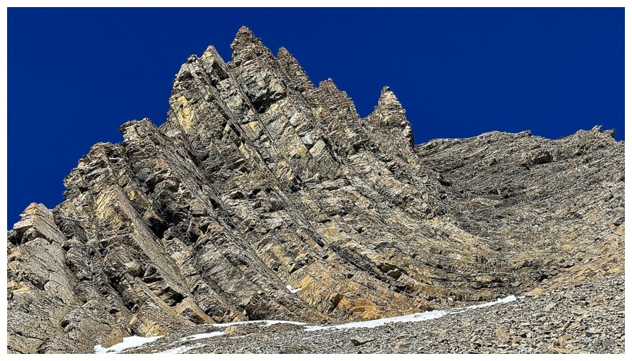
So that's what a pickletooth looks like!
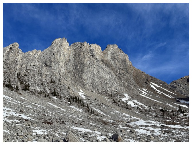
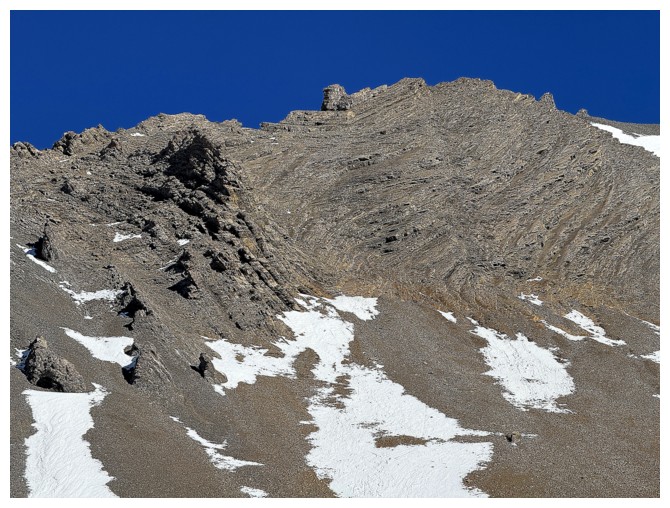
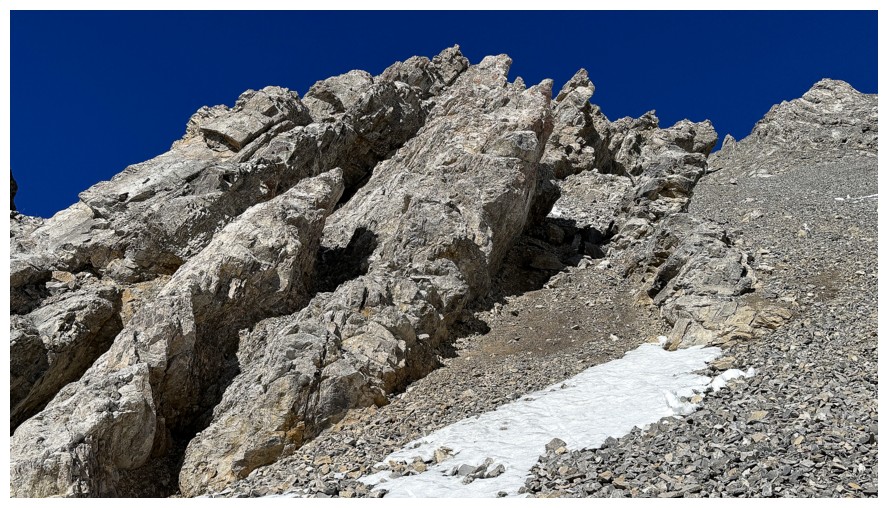
Part of the impressive ridge
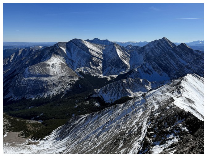
Mounts Strachan (left) and Muir
Lots of interesting rock underfoot also
As stated, traversing this ridge would be a daunting proposition
Same as above
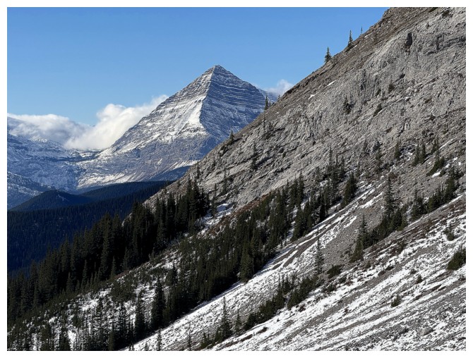
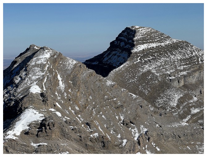
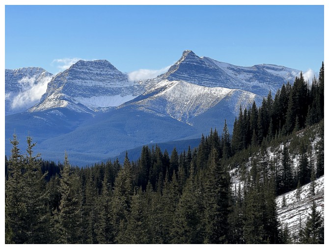
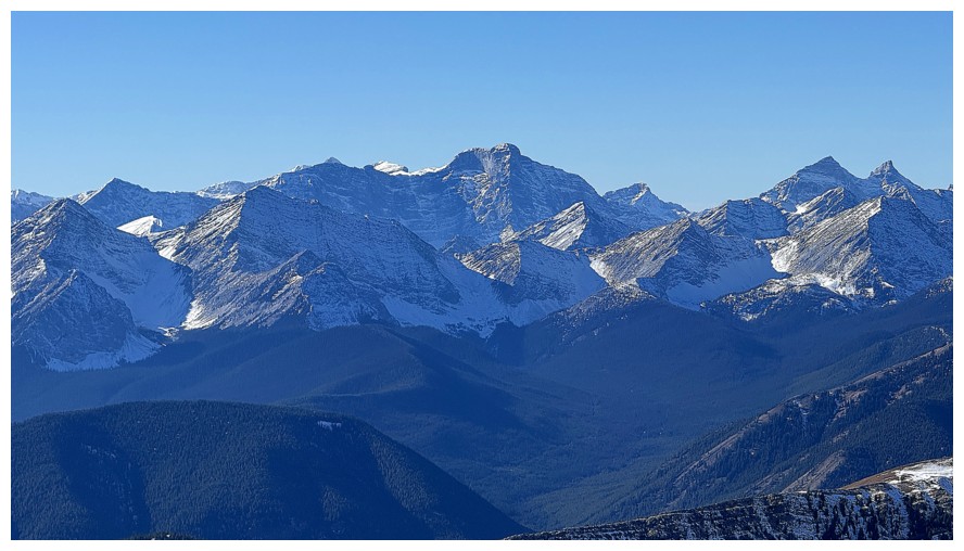
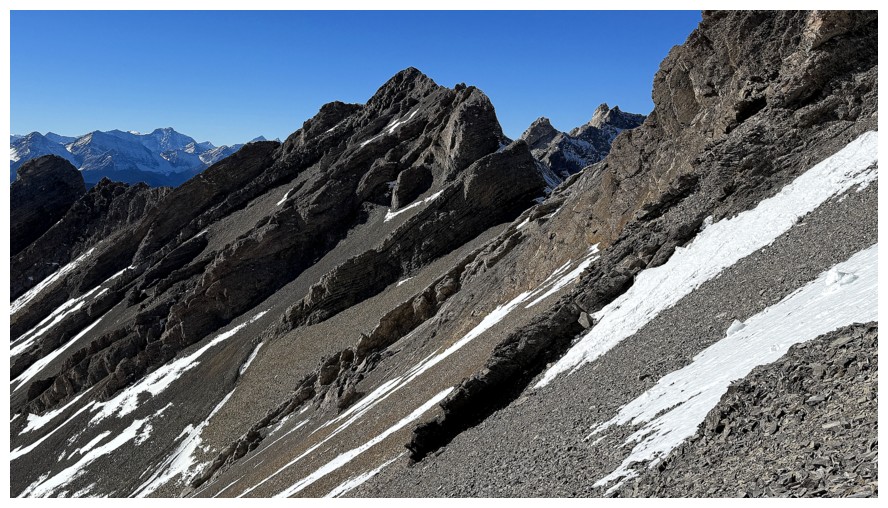
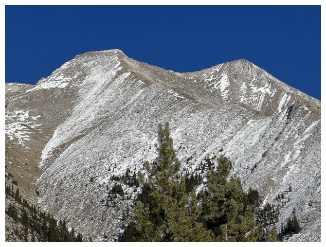
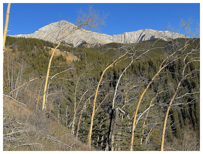
Mount McPhail
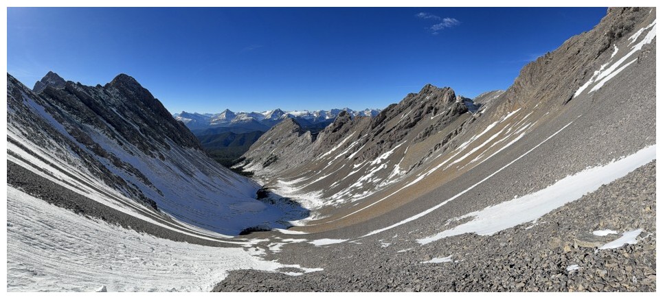
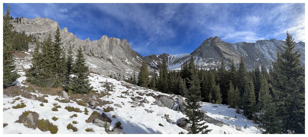
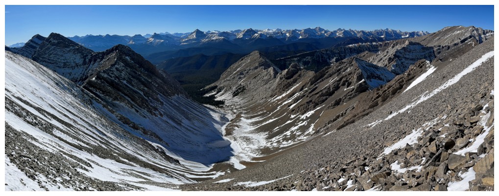
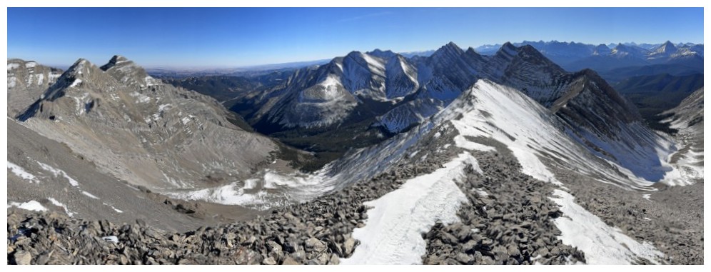
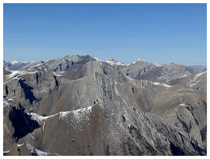
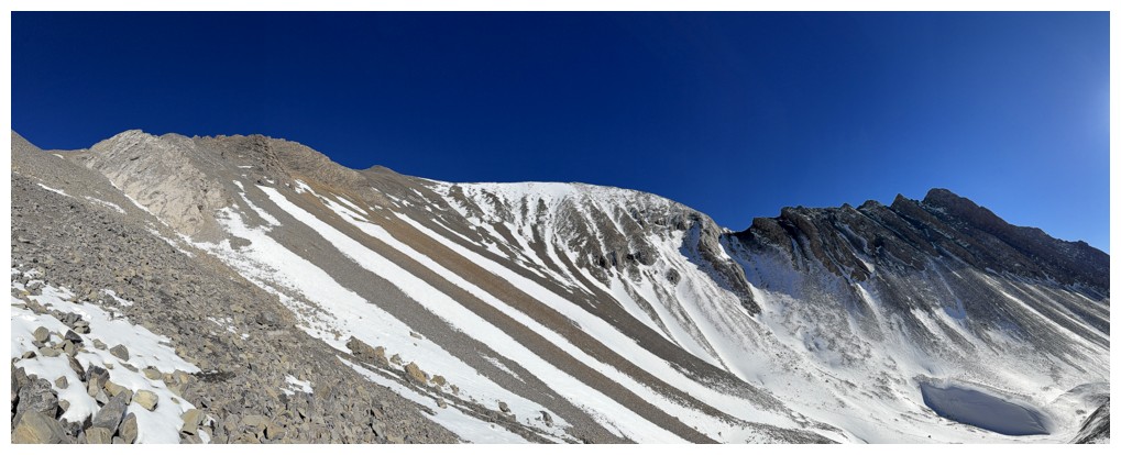
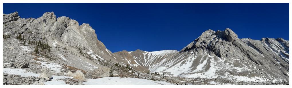
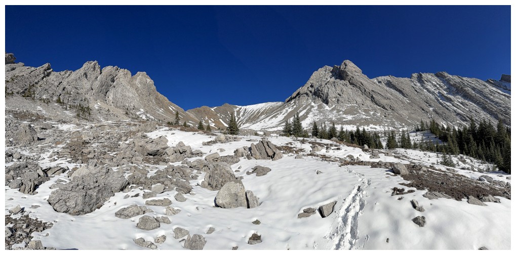
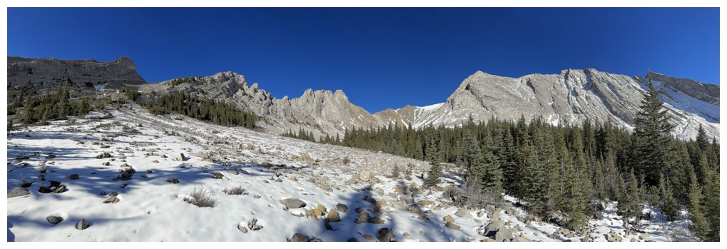
Pano of the valley. Pickletooth seems even farther away now!

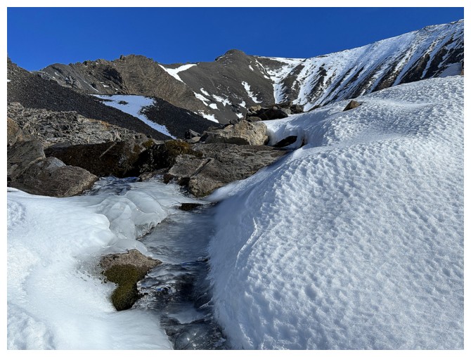
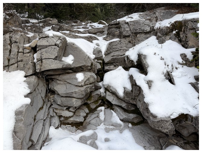
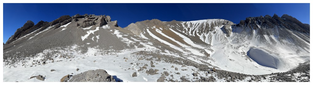
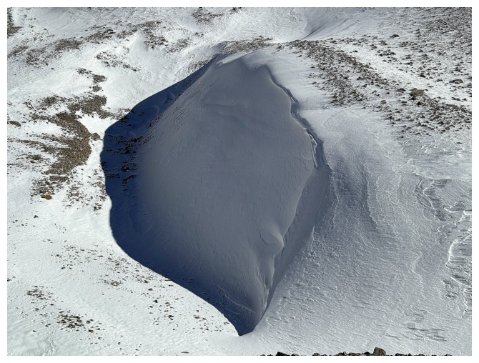
A nice pool and snow
I like the clouds here but I'll be happier when they are all gone
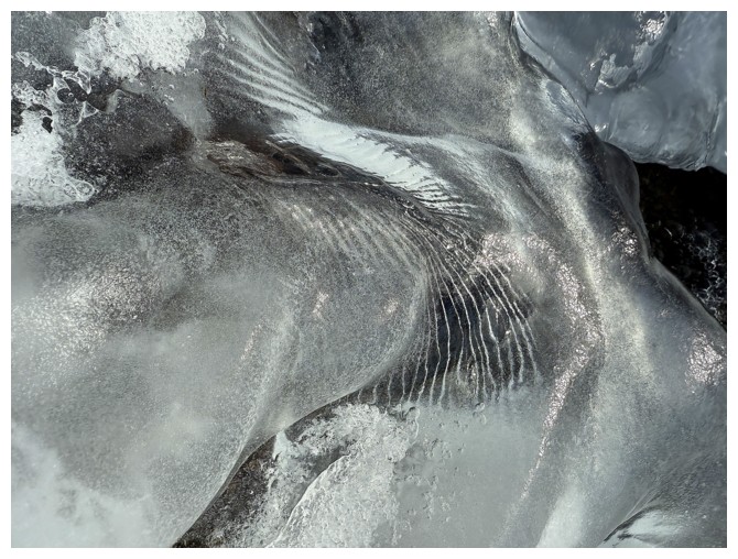
Ice is forming - here comes winter
The obsession with the connecting ridge continues
Pleasant travel along a canyon-like feature
Another scary part of the ridge
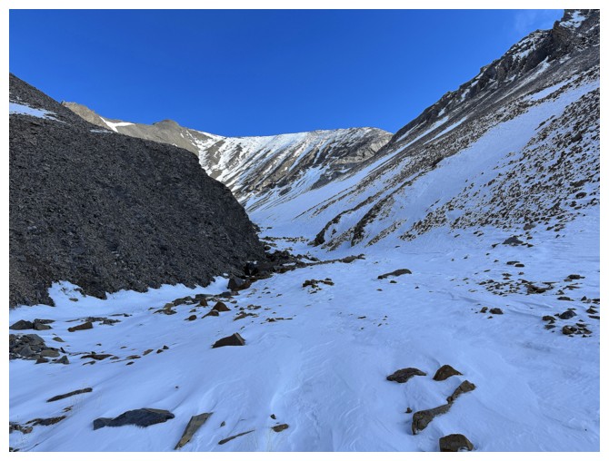
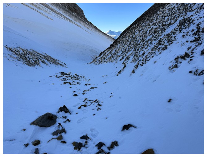
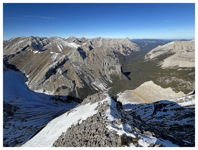
Looking down the valley

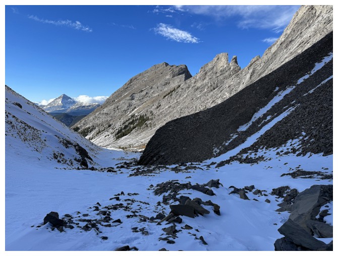
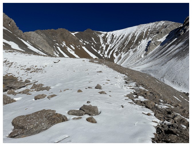
Looking up the valley at the objective
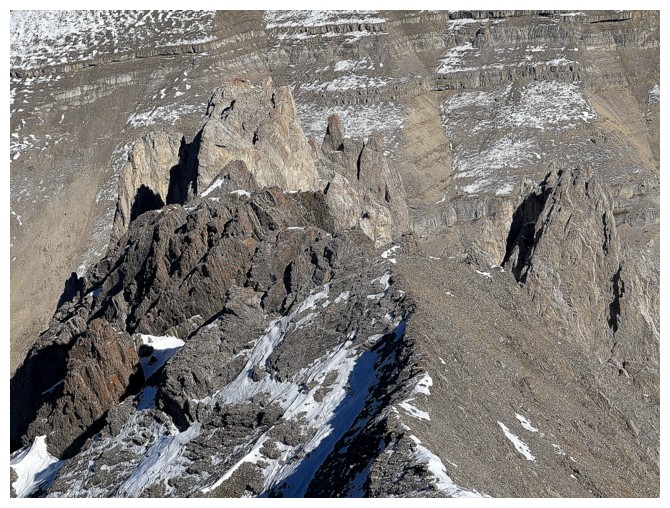
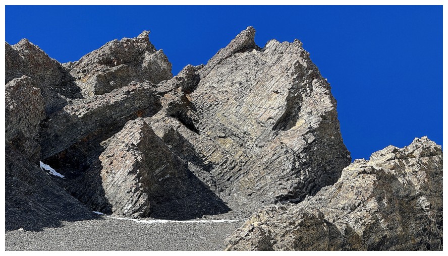
The ridge west of Pickletooth appears to have some interesting features
Like these
And these
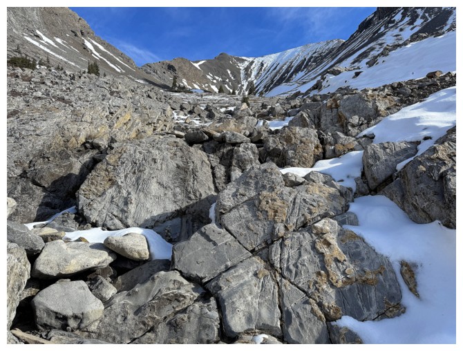
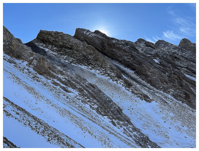
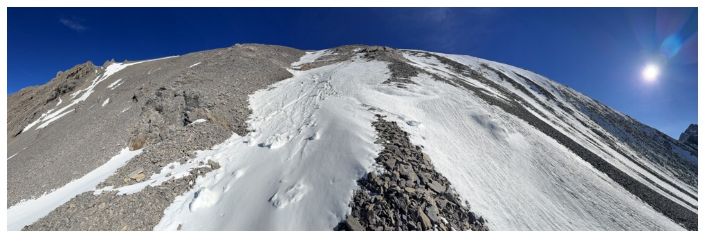
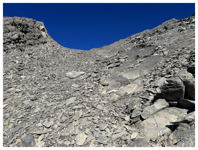
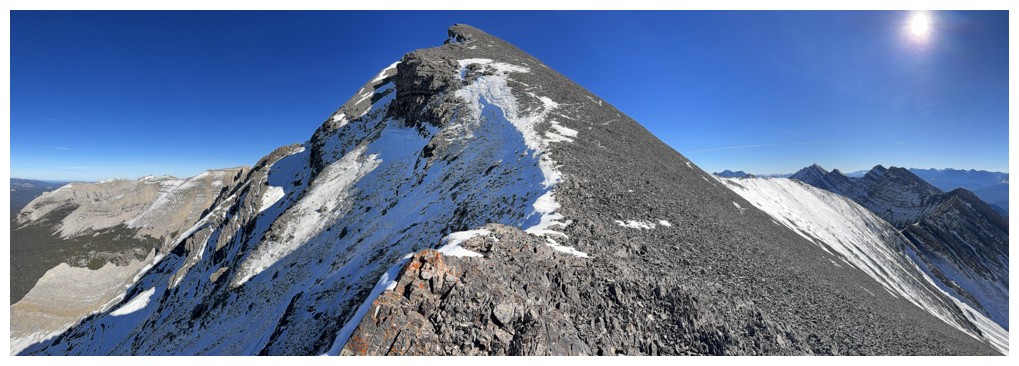
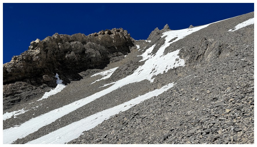
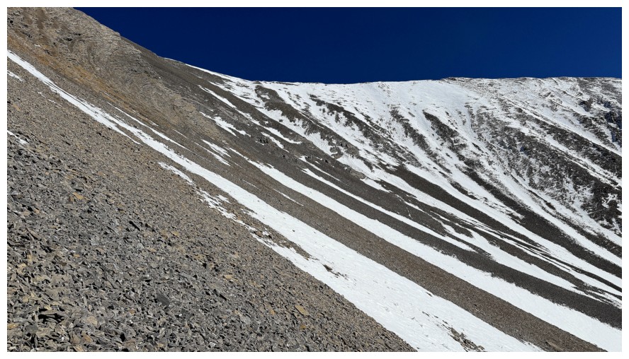
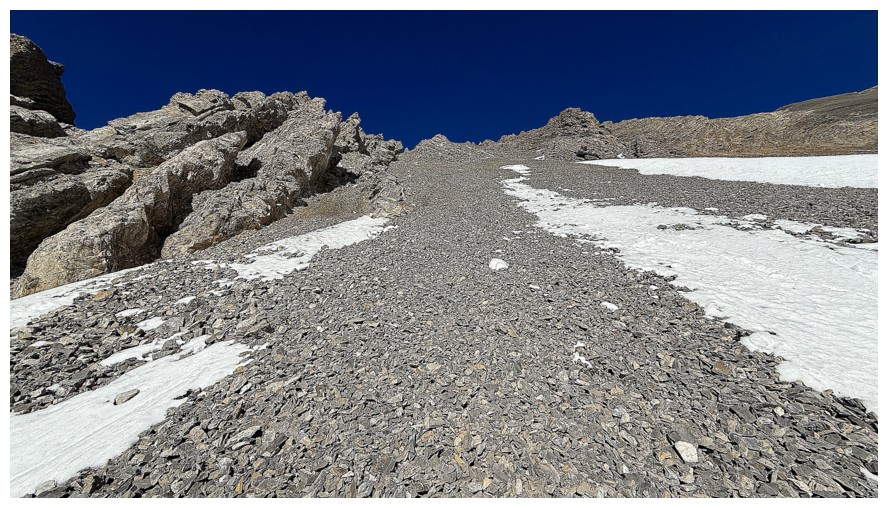
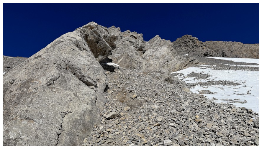
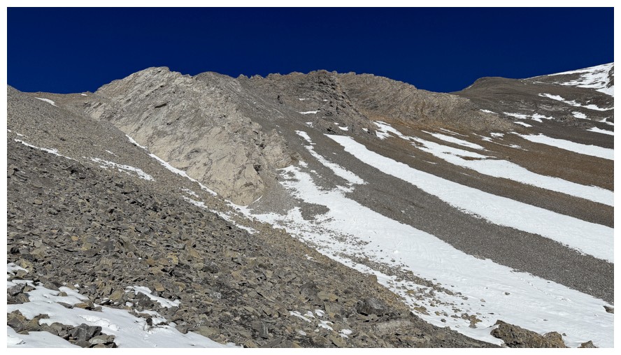
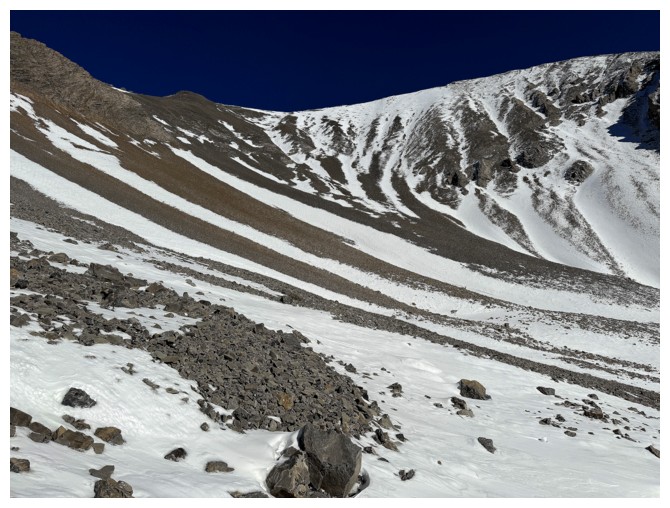
The actual ascent slopes are less interesting. I followed the line of snow near the right.
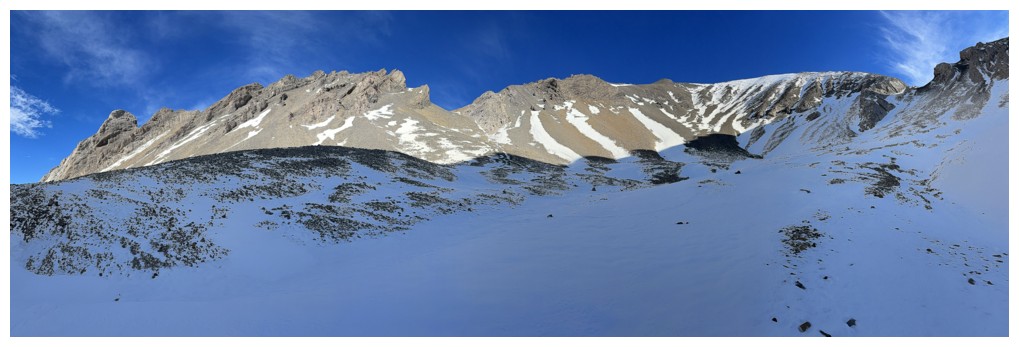
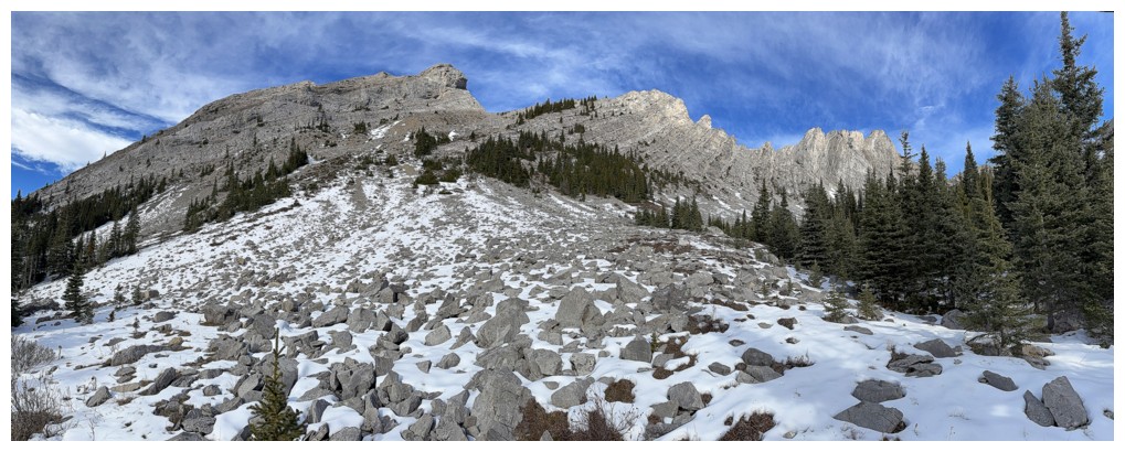
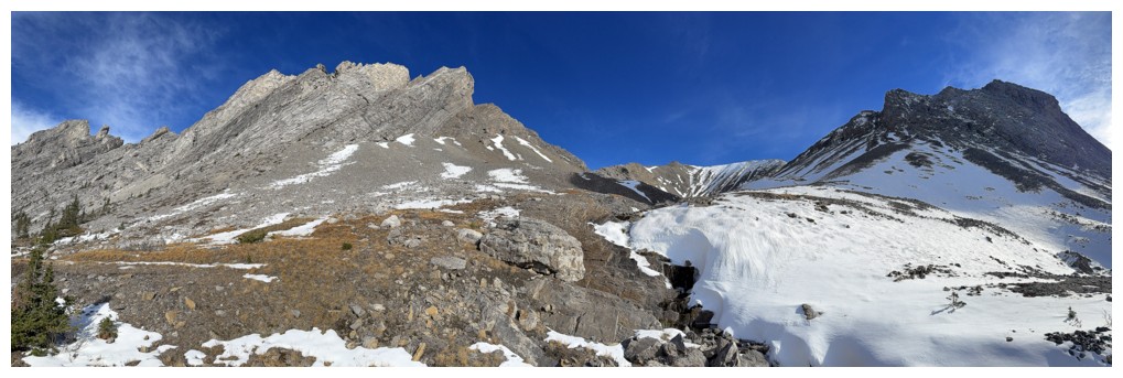
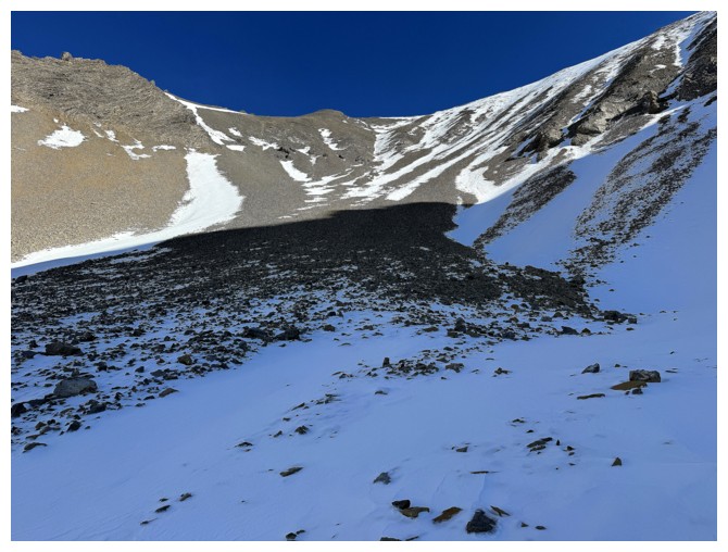
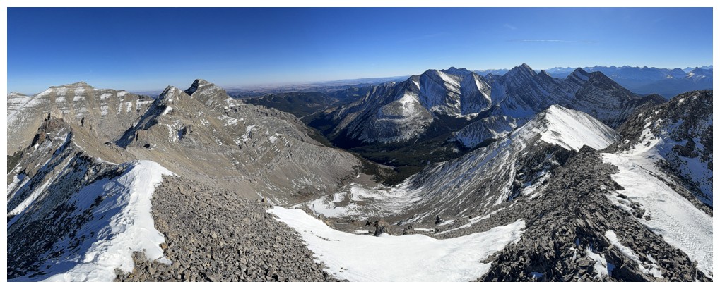
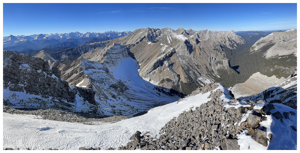
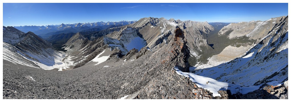
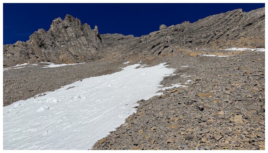
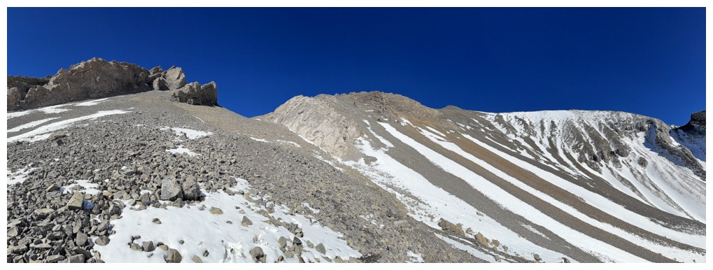
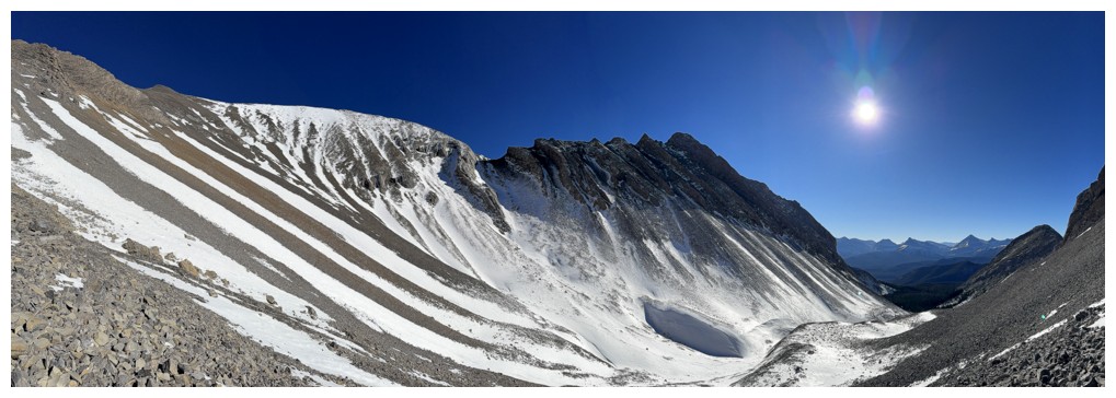
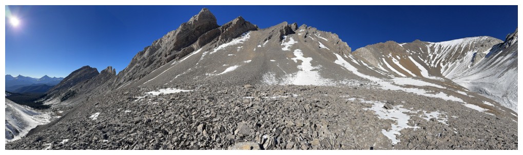
Pano before starting the ascent
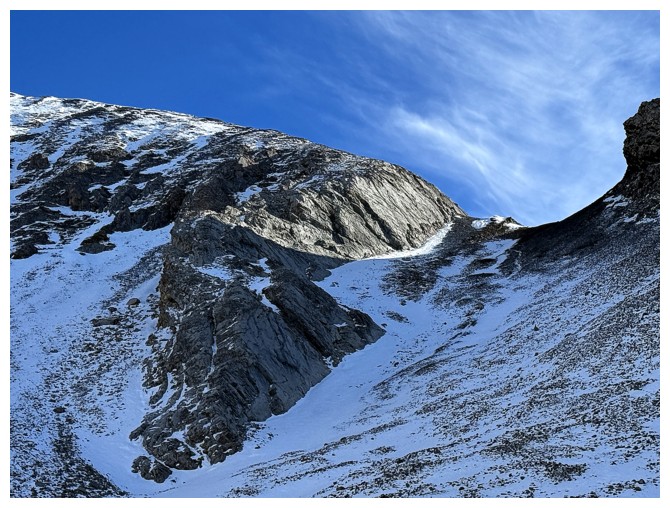
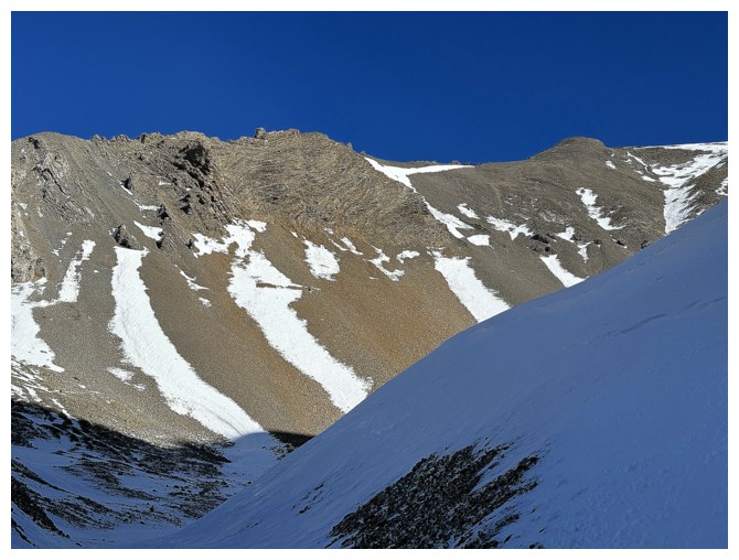
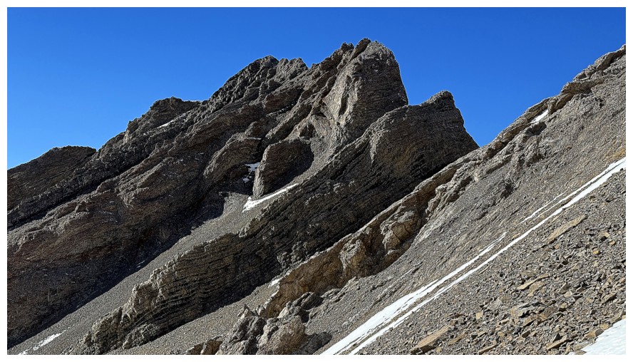
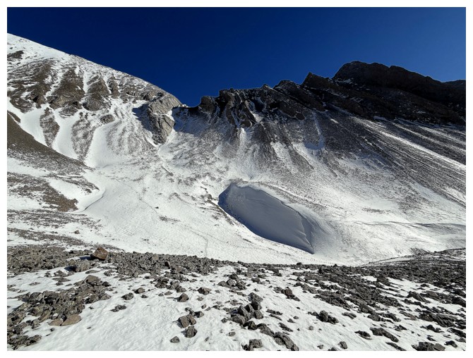
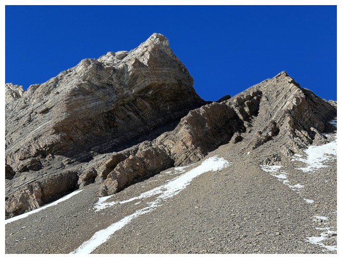
The south col - don't go there
Just go straight up
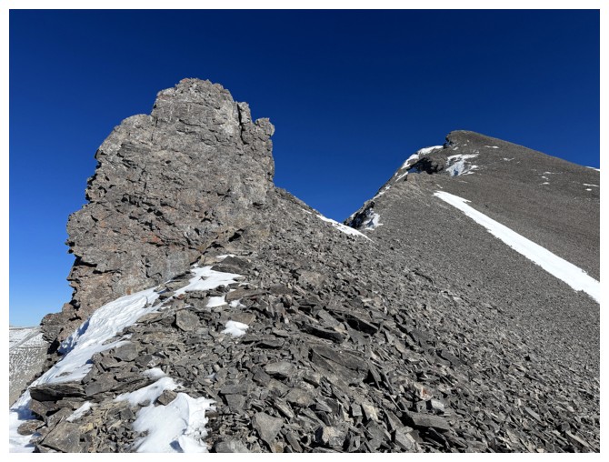
The southwest outlier
McPhail again
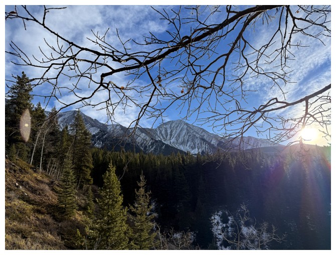
The Sun is about to be revealed
Drooling over the ridge is a good excuse to catch my breath
Even with a thin layer of snow, some of it is coming down
The views to the west are starting to really open up
Kicking stepping up the snow
Distracted
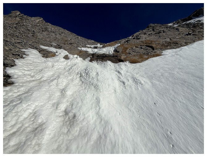
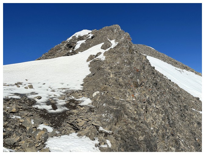
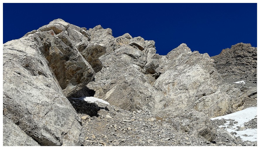
The crux occurred where the snow ran out. This slope is much steeper than it appears.
One of the Lineham Creek Peaks (left) and a southern outlier of Pickletooth
Mount Joffre, just left of centre
Looking down the route again
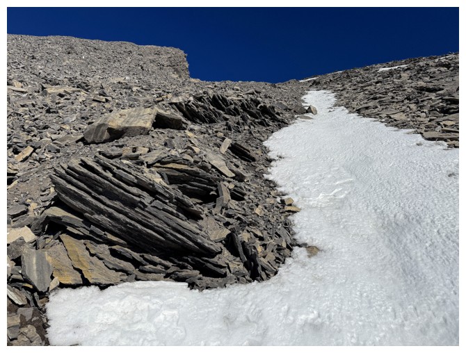
The snow is running out
Gone, but the summit is near
Traversing over to the south ridge to complete the ascent
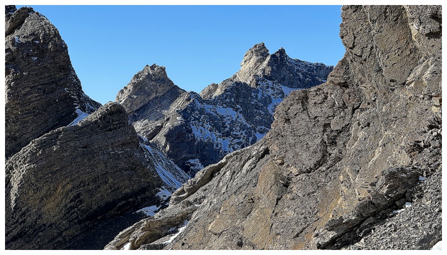
First view of two of the Dogtooth Mountains
Close now. The summit is at the right.
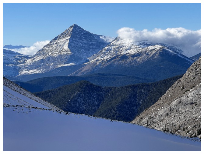
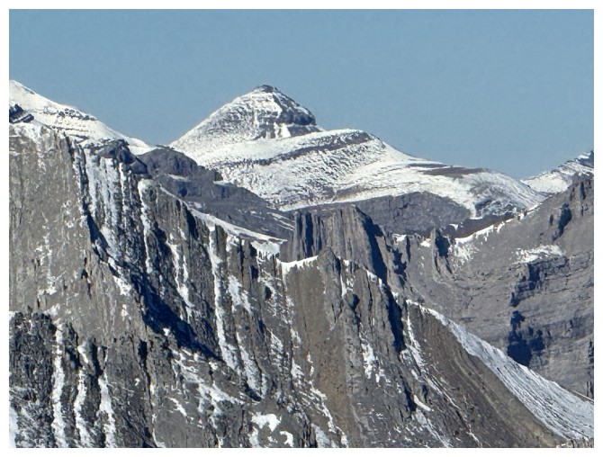
Pyriform Mountain
Views to the east, south, and southwest
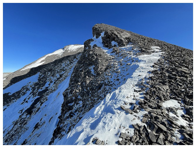
Last 100 metres
Success
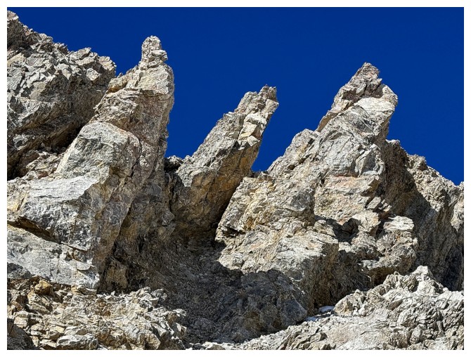
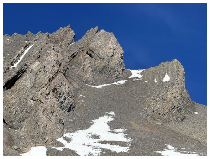
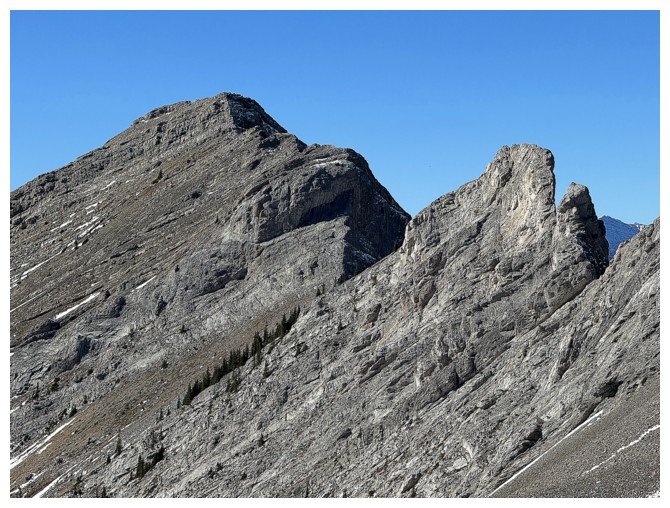
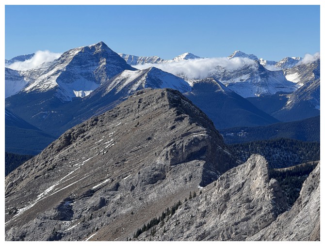
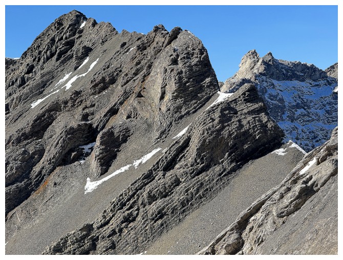
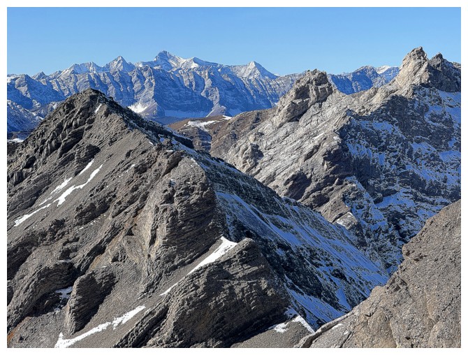
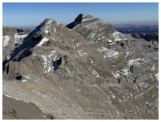
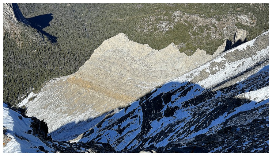
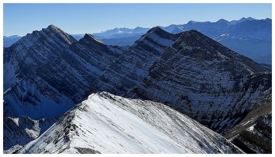
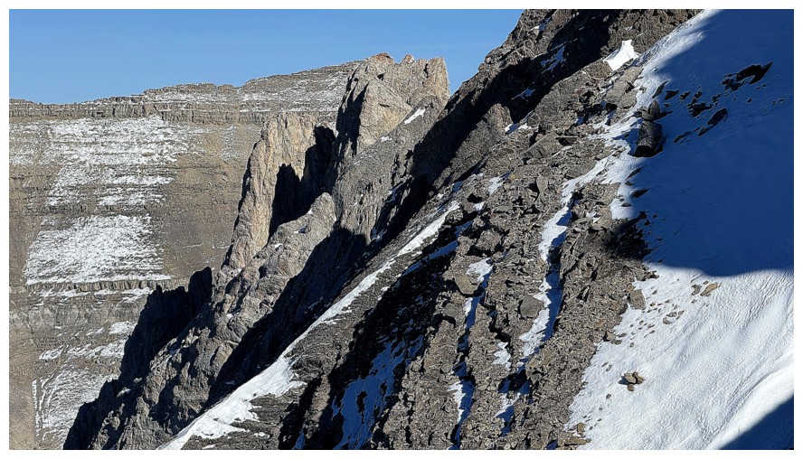
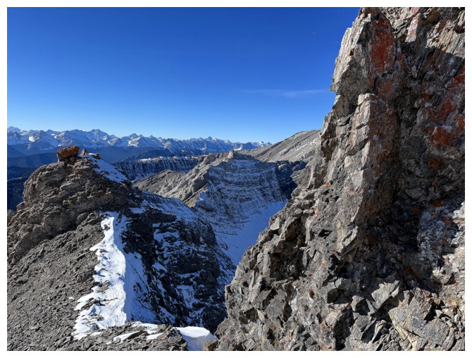
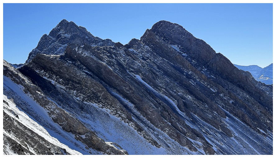
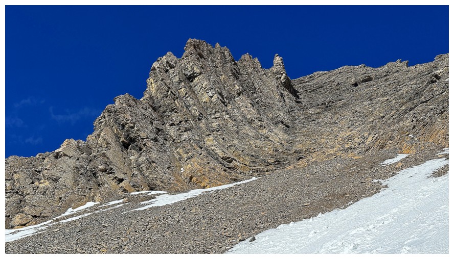
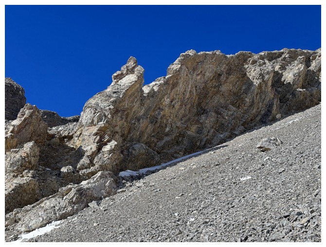
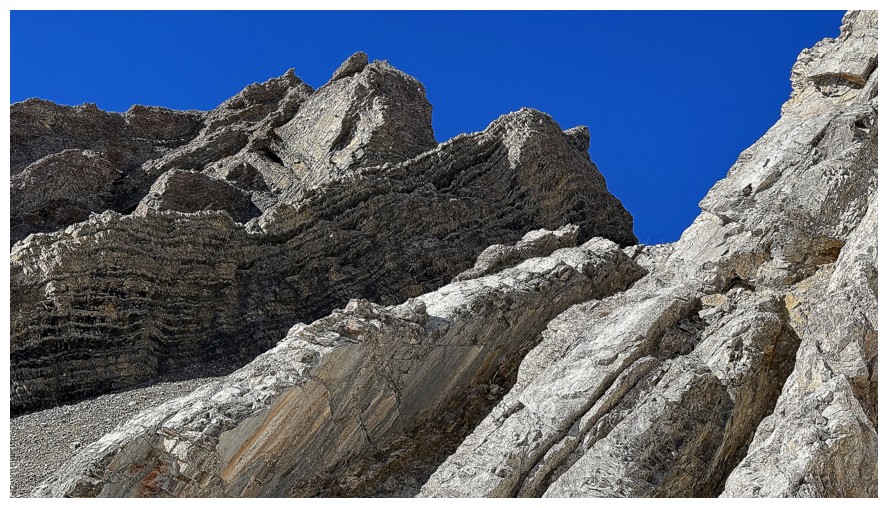
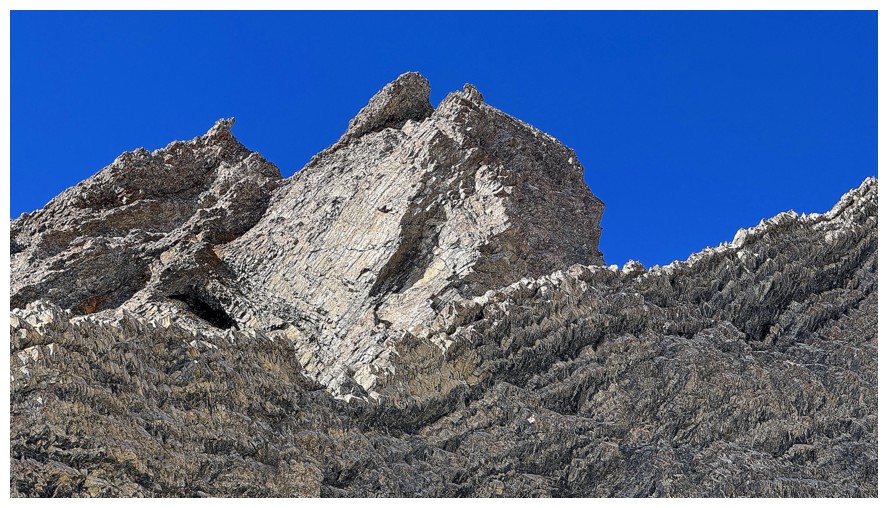
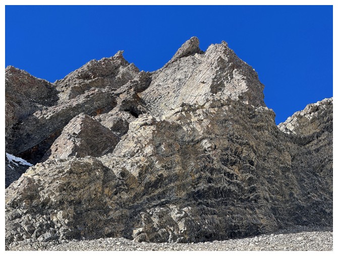
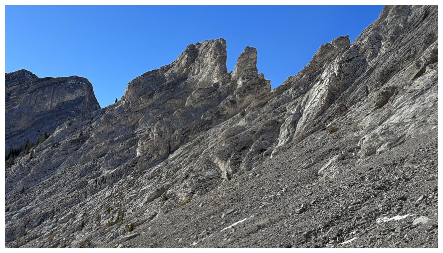
The ridge between Pickletooth and Dogtooth features a series of
striking pinnacles (perhaps why the massif was named the Dogtooth
Mountains)
Close-up of the pinnacles (dog teeth). They are readily seen from Picklewood Peak.
View to the north
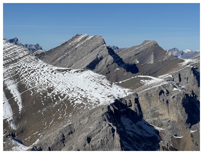
Highwood Peak and Crumble Peak
Shunga-la-she
There's a fairly large peak in the distant centre
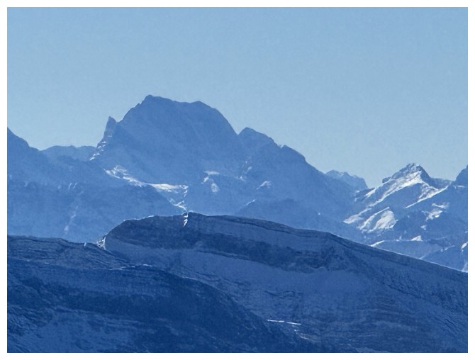
It's Banded Peak, I think
Mount Harrison
View to the south
Mount Head
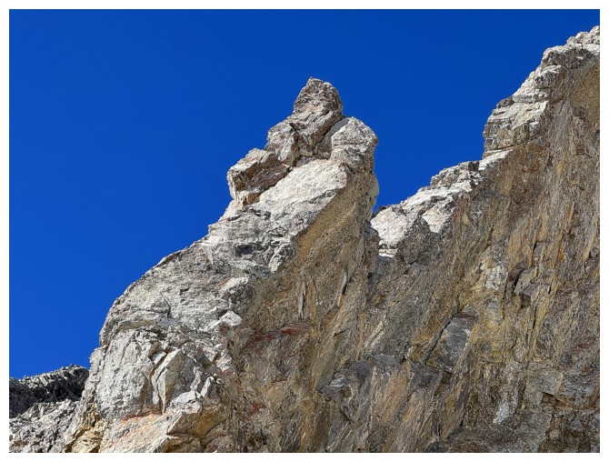
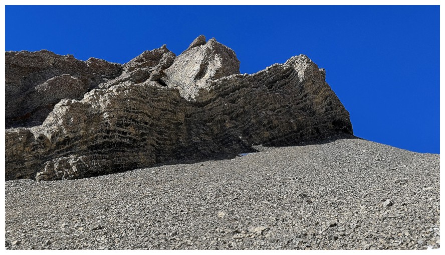
A cool fin of rock of the north side of Pickletooth
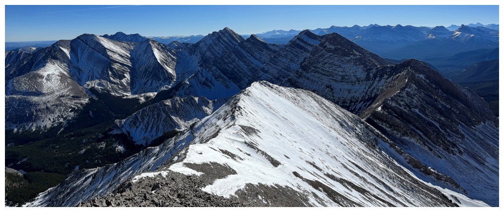
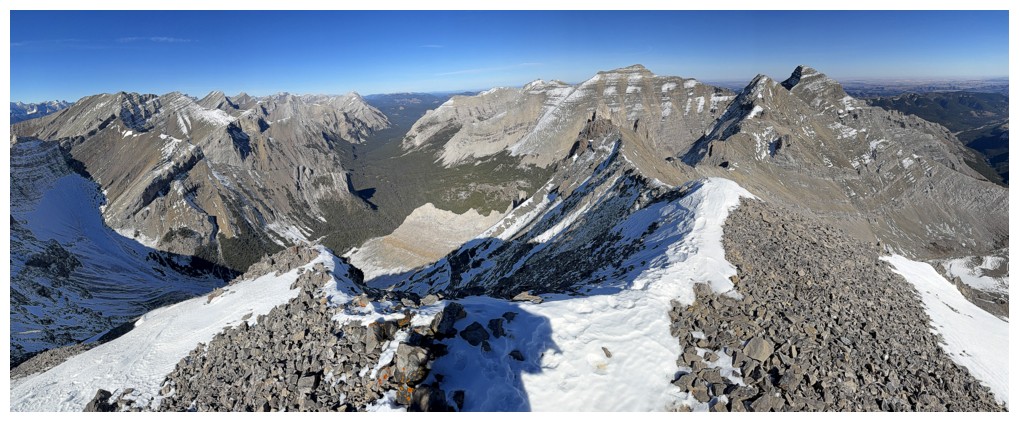
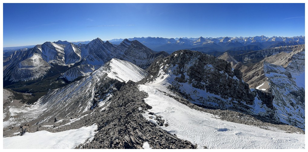
Summit panos

Moose Mountain
Foothills and prairies to the southeast
The whole route down the peak
Mount Abruzzi in the centre
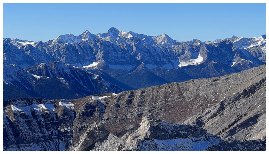
Joffre again
Everything to the south, including Head, Trap, and Lineham Creek Peaks
Picturesque peaks south of Abruzzi.
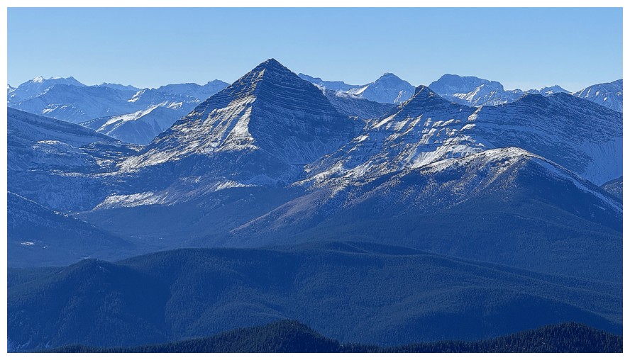
McPhail's aesthetic pyramidal form is always picturesque
Close-up of Trap and Lineham Creek Peaks
Descending
Following the west ridge for a short distance is easy and very scenically rewarding
Same as above
Looking back up to Picklewood is likewise rewarding
Some of those striking pinnacles from the other side
A lichen sighting to make awesome even more awesome!
Continuing down the ridge
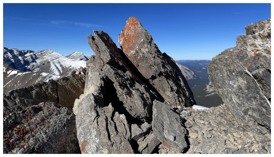
Another lichen run-in
Following the west ridge will end soon...
...but not yet
The terrain in the rearview mirror
Down the mountain again
Last of the lichen
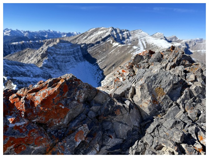
Same as above
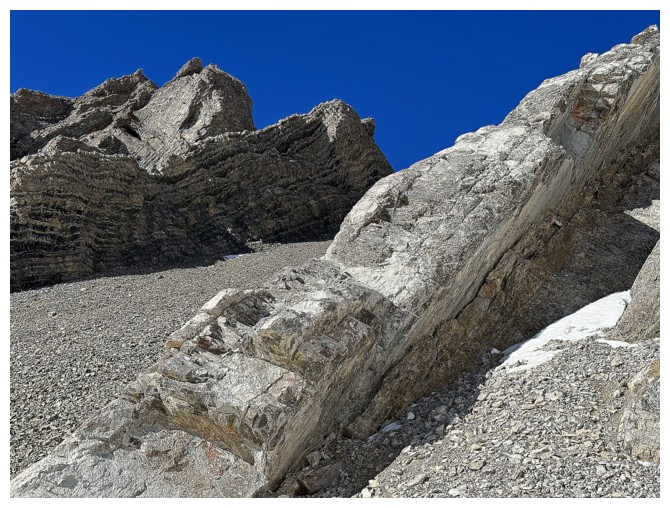
The rock band at the left was the end of the line for the west ridge
Not that one..
...this one
Descending scree slopes away from the ridge
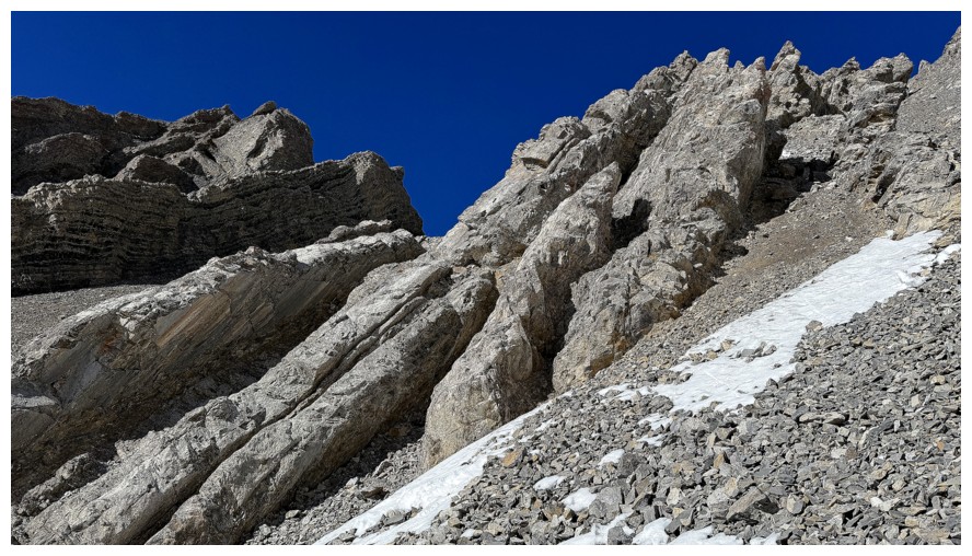
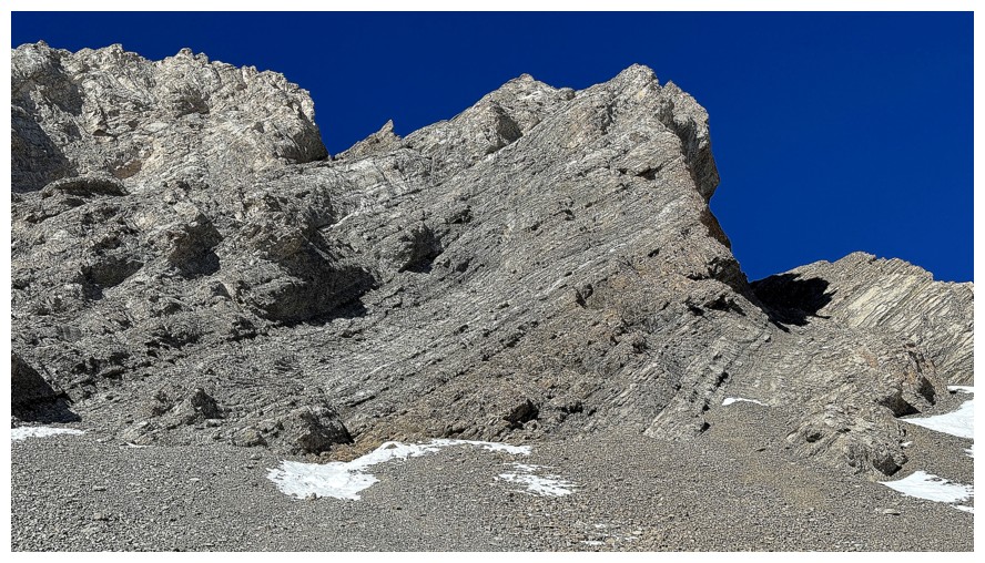
Here begins the copious amount of rock scenery photos on descent
The southern outlier and one of the Lineham Creek Peaks again (left)

A soothing contrast to the previous craggy photo
Back to craggy
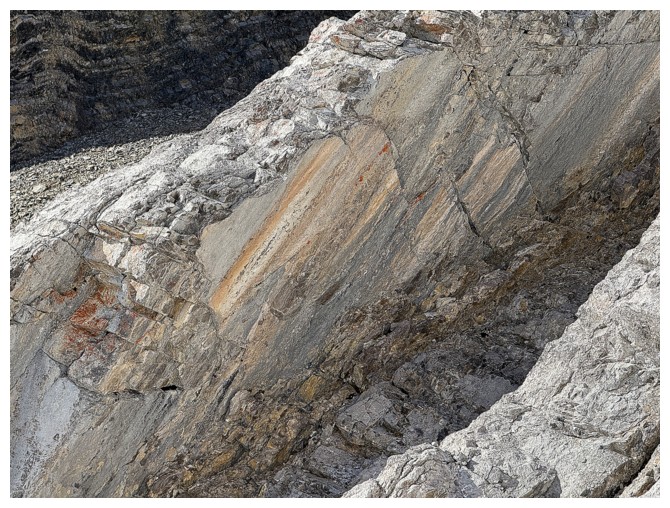
A very cool, colourful, and smooth slab
Cool rib
The sky was insanely blue on descent
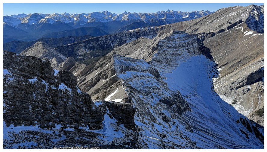
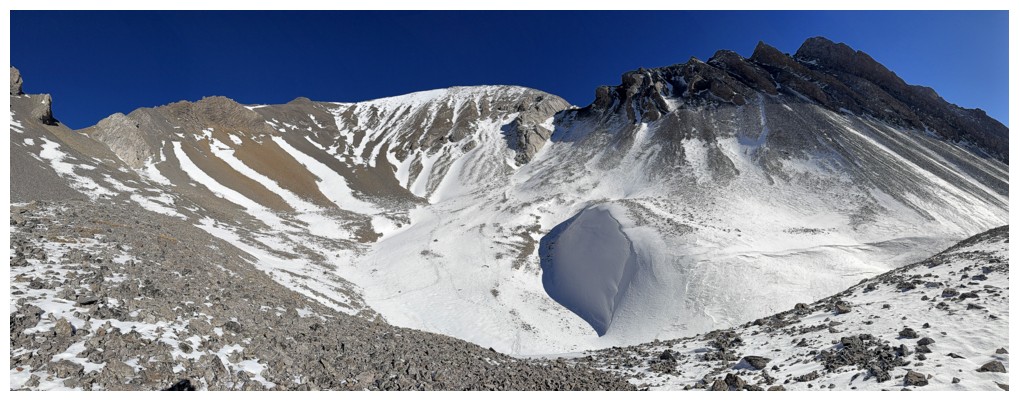
Mid-descent panos
Back to the rock scenery
Back near the valley panos
Makes me look forward to winter
Staying high on the slopes instead of returning to the canyon-like section


The southern outlier of Pickletooth looks so much better later in the day
In fact the whole valley does
Back to that first piece of overhanging rock
Last pano before going back into the trees
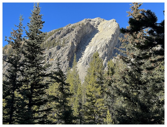
The intriguing southwest outlier
The very exposed and challenging north ridge of Trap
Much easier Lineham Creek Peaks

Just a treed hill, but I like it
Strachan and Muir
Trap
Close-up
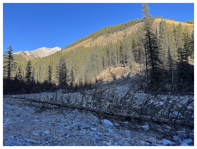
Back in washed-out Lineham Creek
Muir and McPhail
Trap and trees
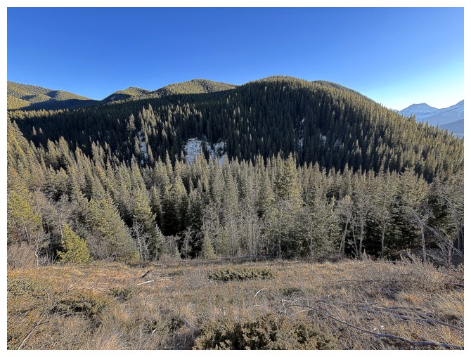
Another treed hill
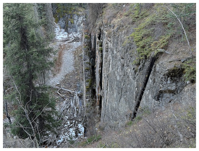
A fascinating wall of rock above Lineham Creek near the beginning. Awesome trip!
The End
LOG