Galwey North V
August 4, 2024
Mountain height: 2384 m
Elevation gain: 1100 m
Ascent time: 3:15
Descent time: 2:25
Scrambling with
Dave.
Galwey North is
a trip I would repeat ad nauseam every year. In fact, in some ways I prefer
North to the main summit - primarily because of the amazing approach up
Coppermine Creek and the interesting upper slopes of the main summit. 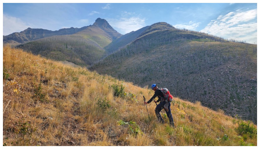 (Of
course, there are no “mushrooms” or “cadaver rock windows” on North, so I’ll
give those to the true summit!)
(Of
course, there are no “mushrooms” or “cadaver rock windows” on North, so I’ll
give those to the true summit!)
And so when Dave
suggested an attempt, very little to zero coaxing on his part was required.
Unfortunately, the day’s forecast - overcast and gloomy - didn’t bode well for
the most scenic conditions but we were going regardless.
We followed
Coppermine Creek for a while, before deciding to gain the ridge above. The
creek route is incredibly scenic but also very time-consuming. Reaching the
ridge as soon as possible makes travel a fair bit faster. 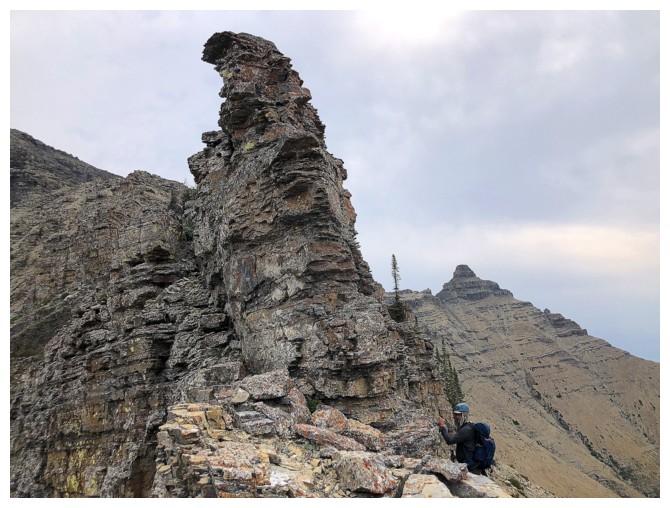 As expected, the
ridgewalk that followed was fantastic, boasting an outrageous variety of
colourful rock and striking views of the Galwey/Dungarvan section of the
massif.
As expected, the
ridgewalk that followed was fantastic, boasting an outrageous variety of
colourful rock and striking views of the Galwey/Dungarvan section of the
massif.
After traversing
the ups and downs of the first part of the ridge, the ascent begins in earnest,
increasing in steepness and seriousness. Without the snow and ice I had
encountered on my last two ascents, that scramble was much easier – mind you,
still with lots of route-finding and decision-making.
We took slightly
different routes to the summit, but eventually reunited for a rewarding summit stay.
Retracting our route down made the most sense given the less than ideal weather
and so that’s what we did.
Yet another
wonderful day on this terrific route and mountain – my fifth and unlikely to be my last foray
on Galwey North.
Click HERE to see Dave's excellent report.
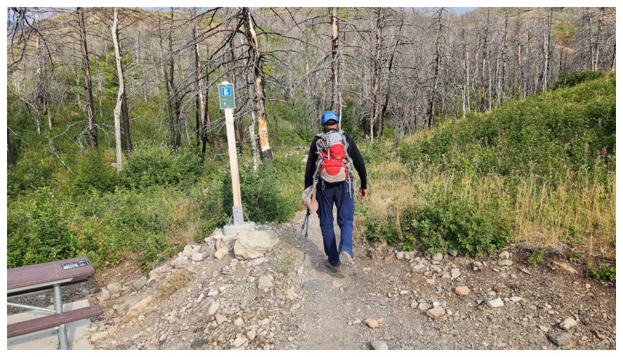
The start of the trip (photo by Dave)
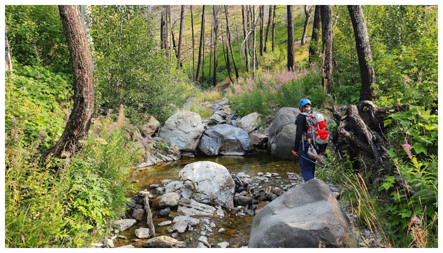
Quickly arriving at Coppermine Creek (photo by Dave)
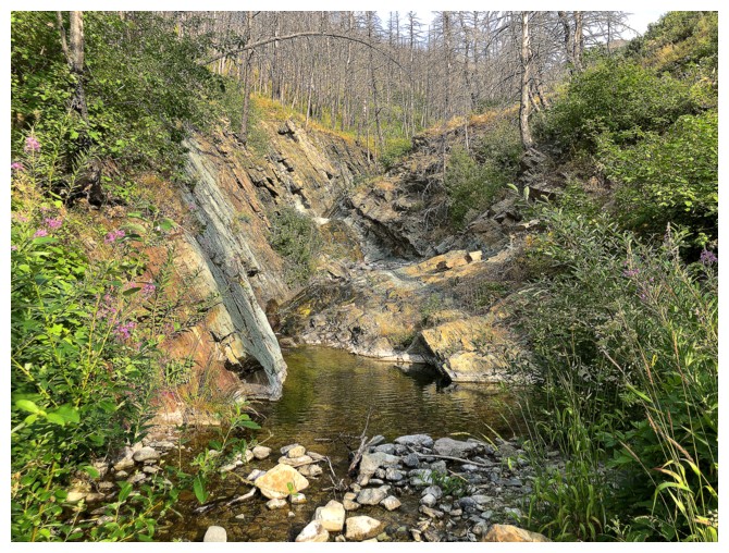
The scenery is pleasant at the beginning but become outstanding further up the creek
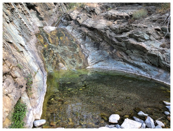
Cool pool and a small cascade behind it
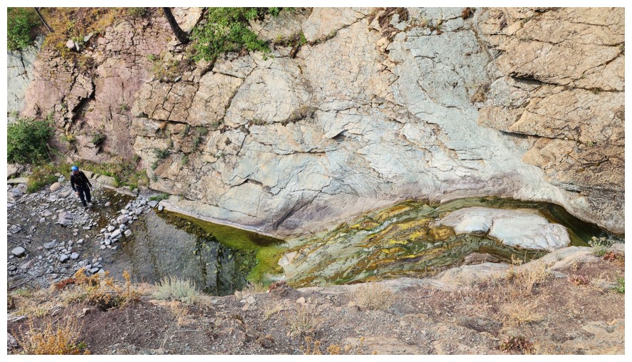
Dave's view of me admiring the pool (photo by Dave)
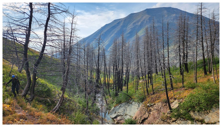
Travel above the creek is required for some sections (photo by Dave)
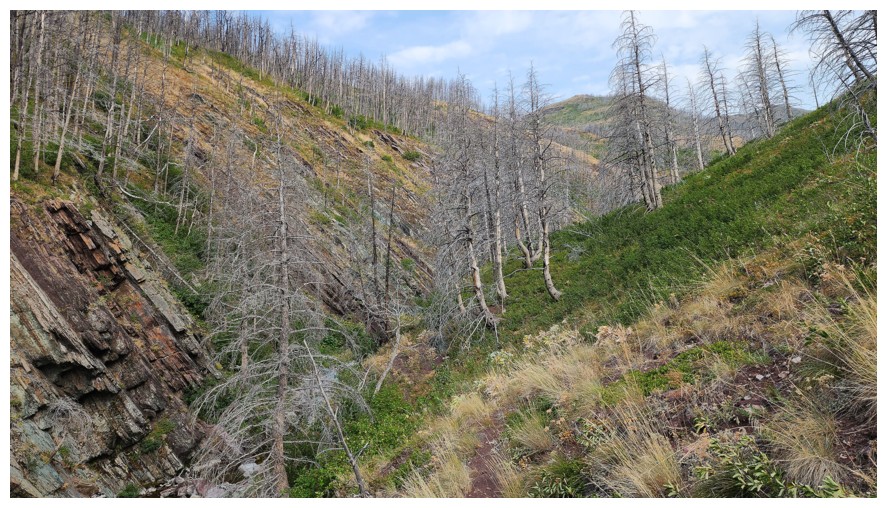
Same as above (photo by Dave)
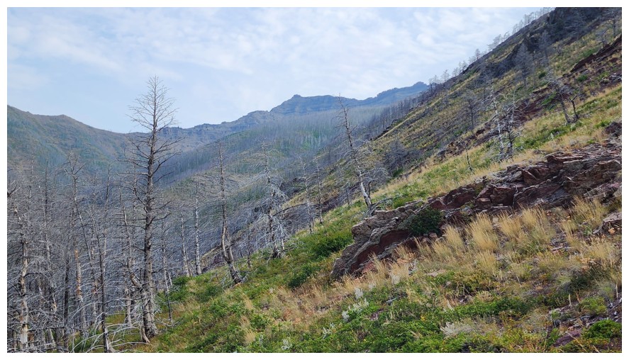
First view of the objective (centre) (photo by Dave)
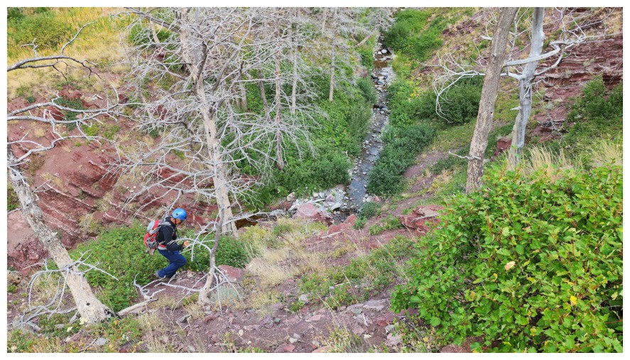
Descending back down to the creek (photo by Dave)
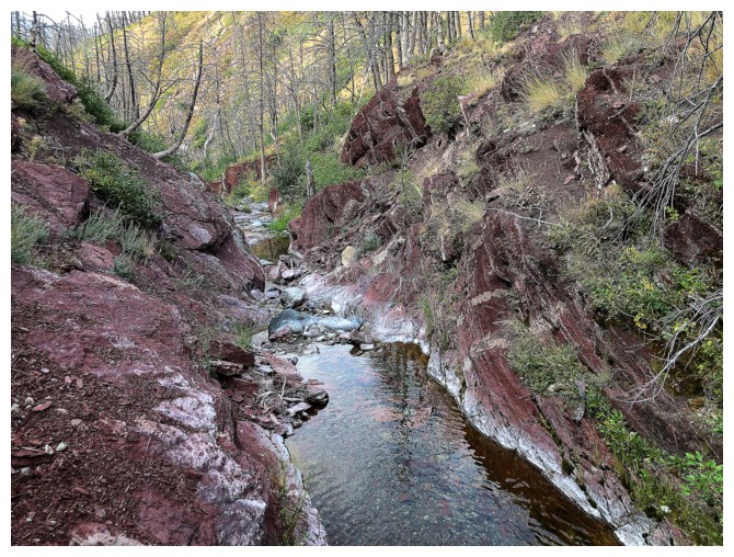
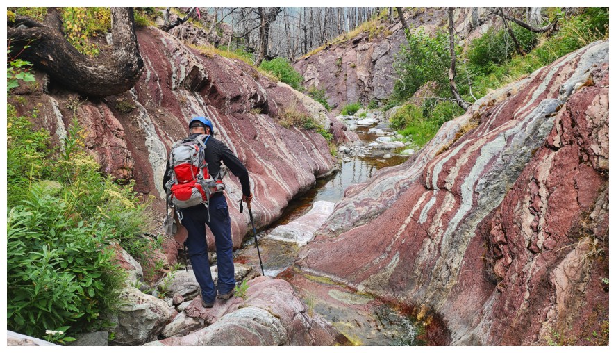
The red argillite is stunning when lit up by the Sun
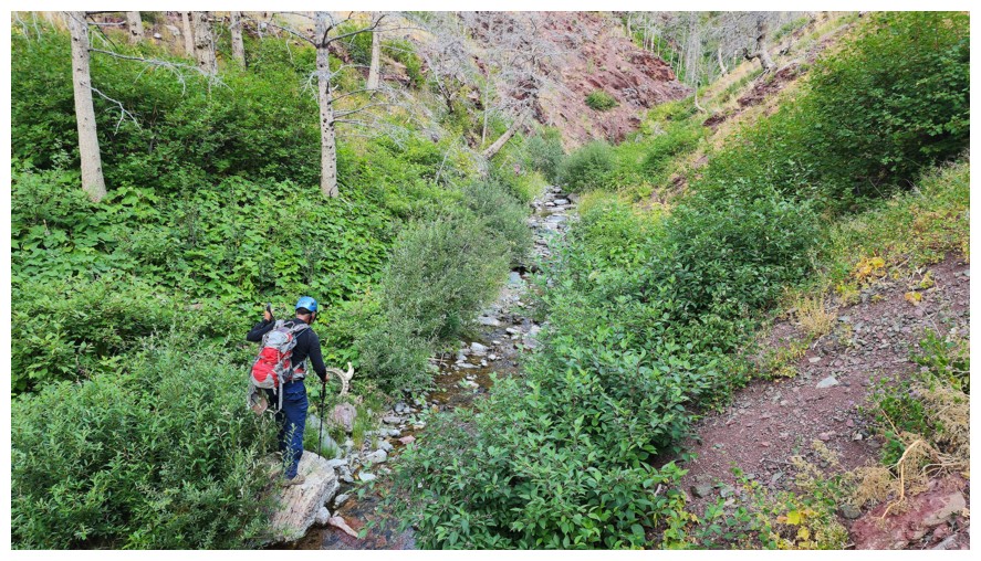
Approaching an interesting find (photo by Dave)
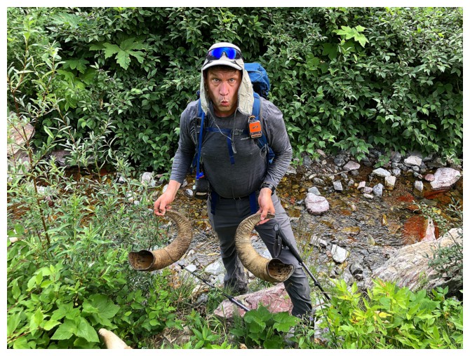
Horns...
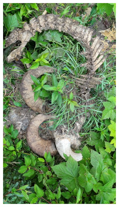
...and the matching spine (photo by Dave)
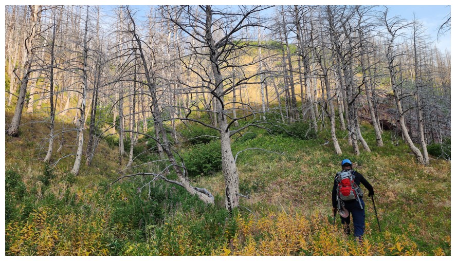
Leaving the creek to gain the ridge (photo by Dave)
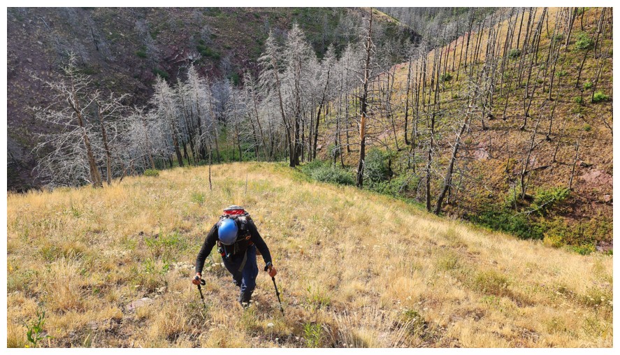
Pleasant, open slopes to the ridge (photo by Dave)
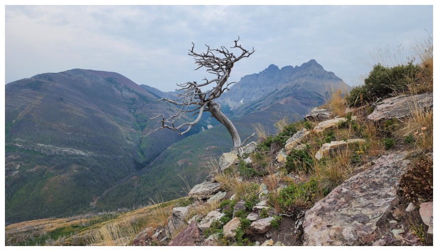
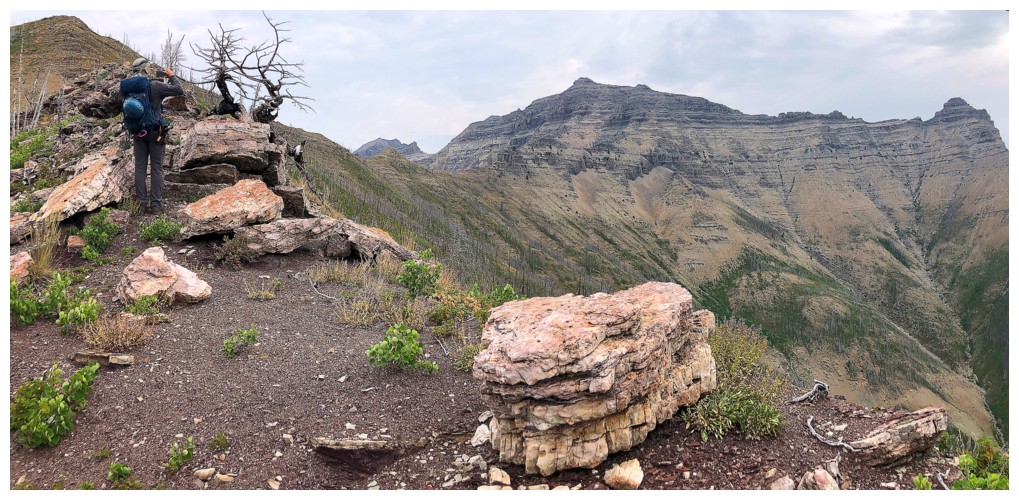
Another interesting find, though quite common in Southern Alberta (photo by Dave)
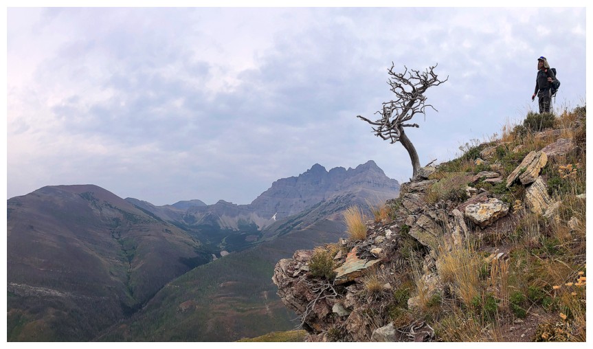
Dave and the dead tree
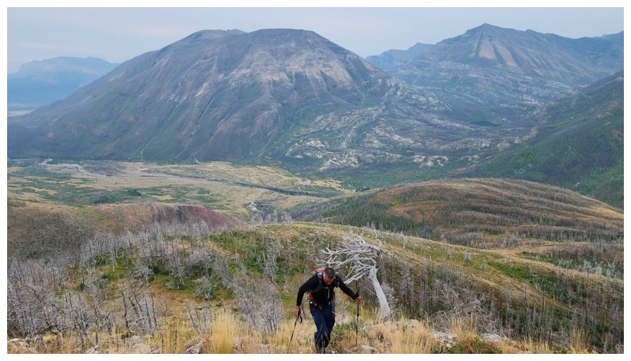
Passing by the tree. Mount Crandell and Buchanan Northeast in the background (photo by Dave).
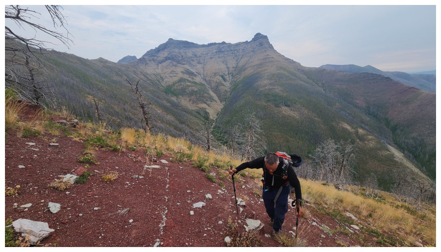
The ridge is also home to a carpet of red argillite (photo by Dave)
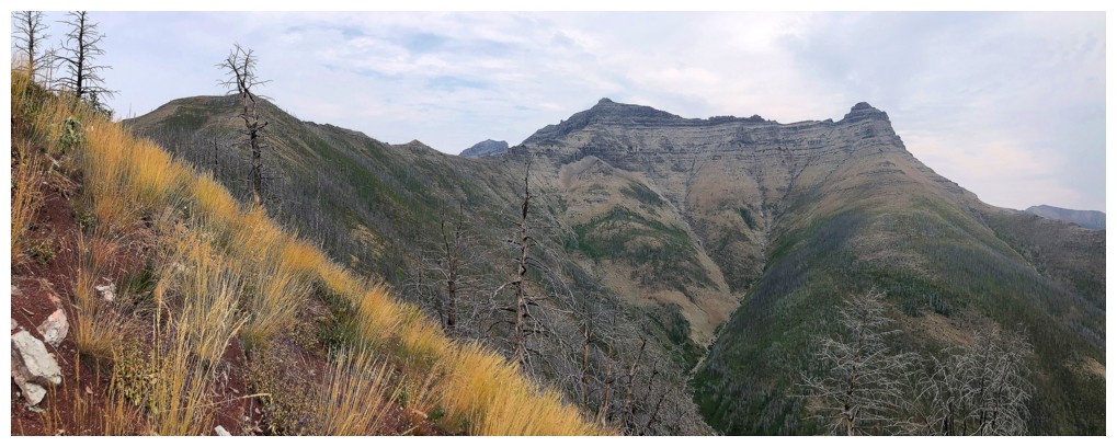
Galwey North (centre) and Mount Galwey (right)
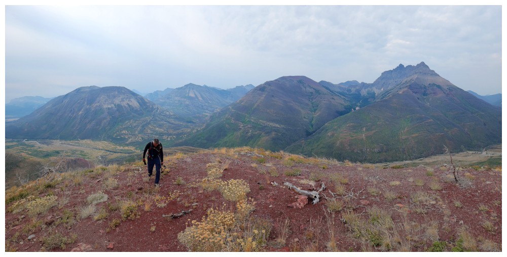
The view behind (photo by Dave)
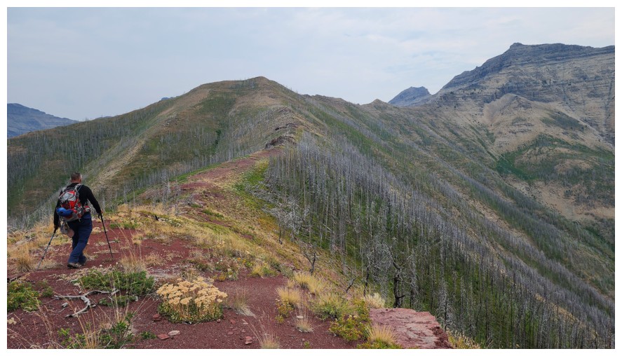
The view ahead (photo by Dave)
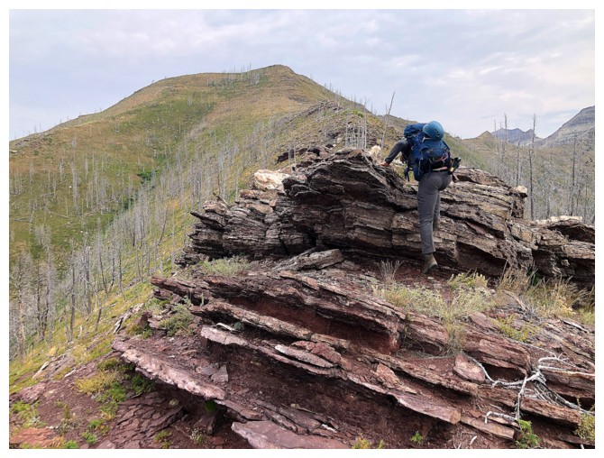
A few scrambly rock bands are encountered
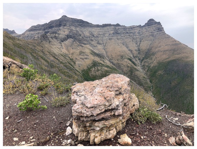
And some random rocks
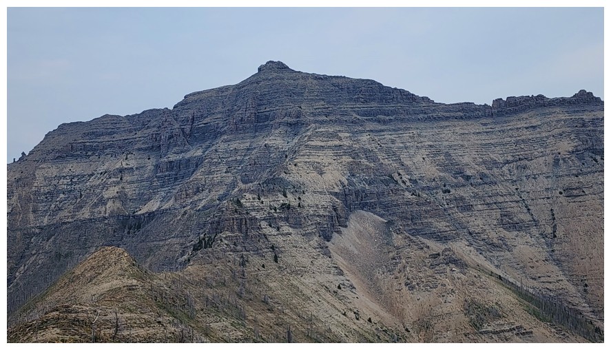
Close-up
of the more serious section of the ascent (going from the left to the
centre) - still a while before we get there though (photo by Dave)
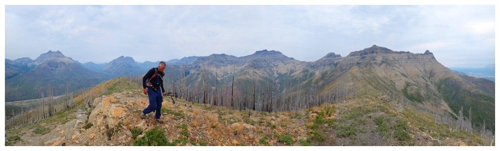
Good pano, from Blakiston at the left to Galwey at the right (photo by Dave)
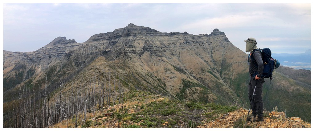
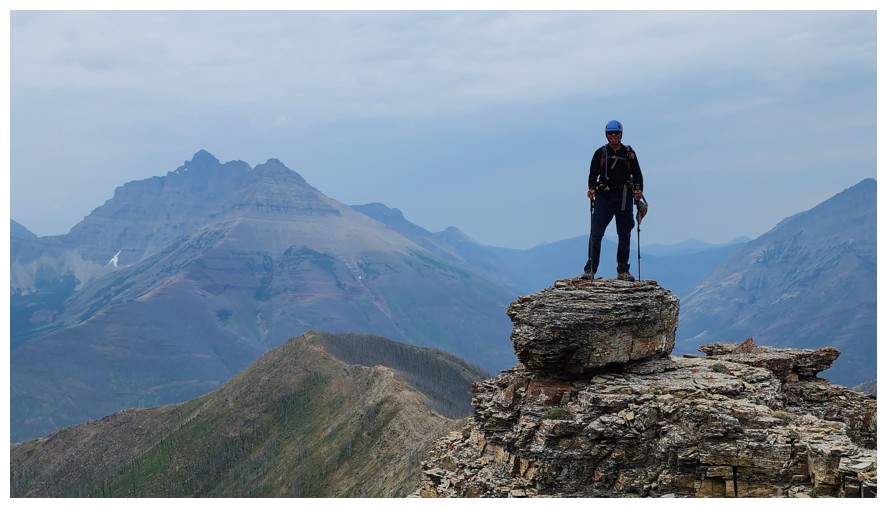
Dave surveys the route ahead
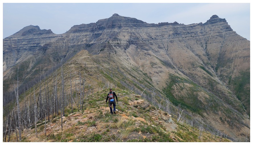
Several ups and downs along the pleasant ridge before we get to that serious terrain (photo by Dave)
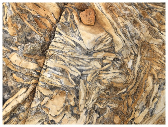
Super cool patterns in the rock (photo by Dave)
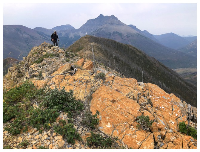
Argillite is not the only colourful rock on the ridge
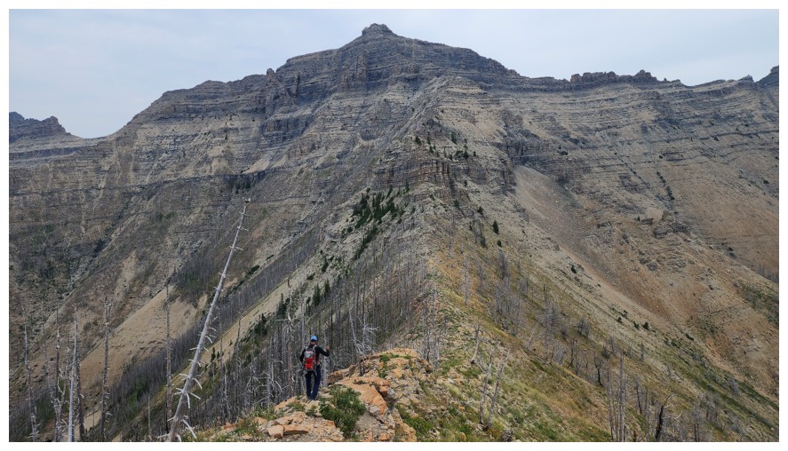
The last "down" before we go up towards the summit (photo by Dave)
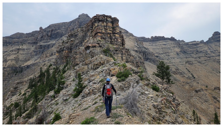
Approaching the first obstacle that must be circumvented (photo by Dave)
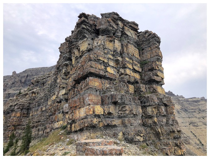
It's an impressive sight
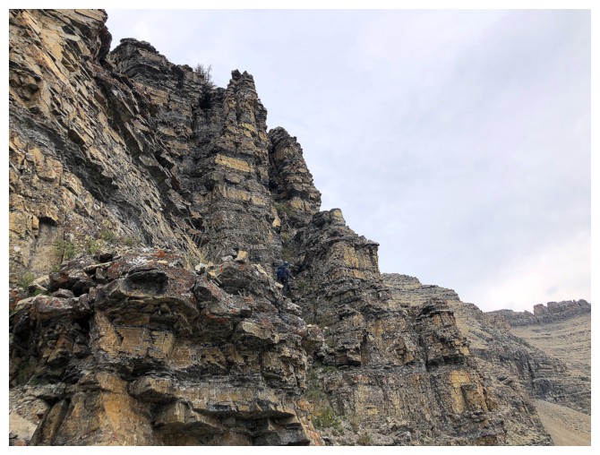
Dave (camouflaged in the centre) looks for a scramble route around the right side
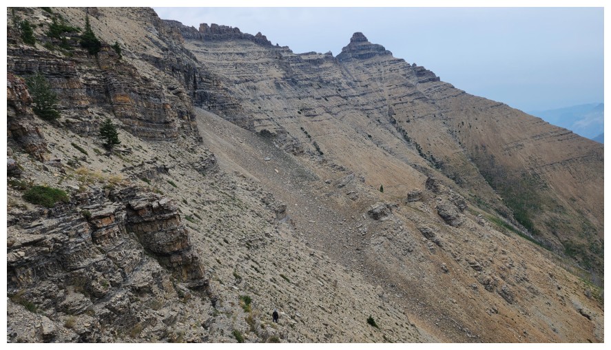
The little dot at the bottom centre (me) takes an easier route further right (photo by Dave)
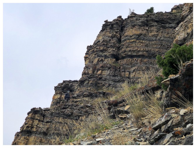
Dave (now camouflaged near the lower left) decides to play it safe and take an easier route too
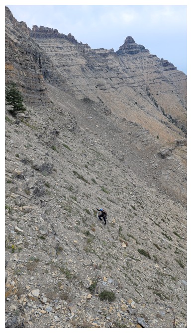
Easier but still steep (photo by Dave)
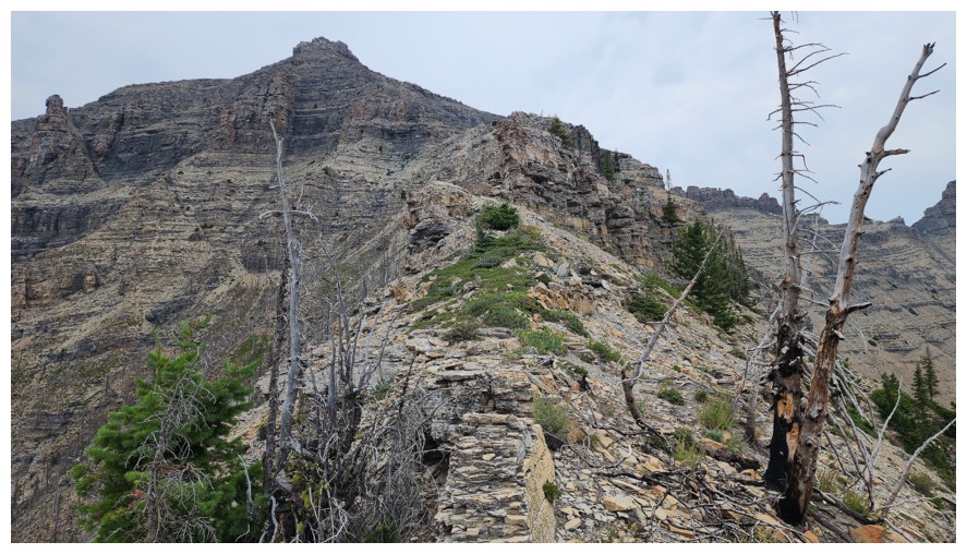
Back on the ridge (photo by Dave)
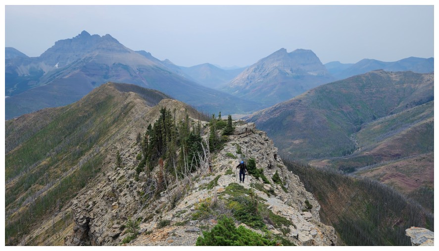
Easy ridgewalking again for a short distance (photo by Dave)
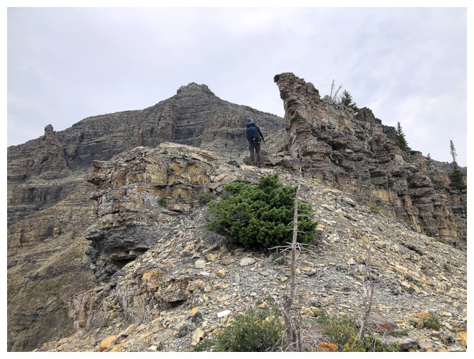
The next obstacle
It's impressive too
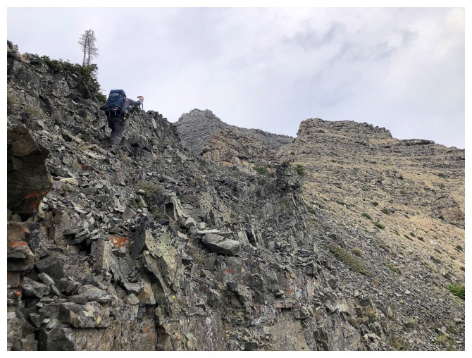
And, once again, circumvented on the right. Dave leads the way.
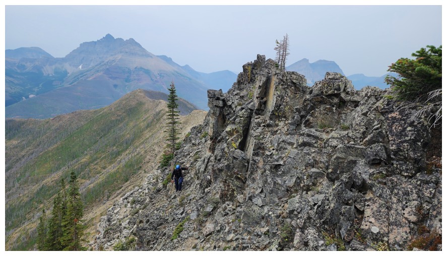
I follow (photo by Dave)
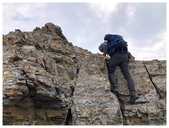
Another step of easy scrambling
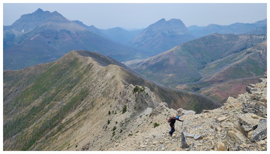
The ridge behind is unfolding nicely (photo by Dave)
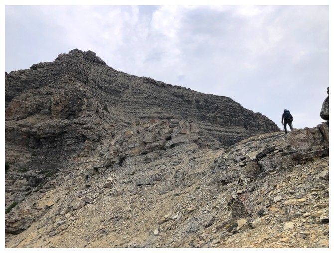
Still lots of interesting terrain to negotiate. I'm always surprised at how long the actual ascent takes.
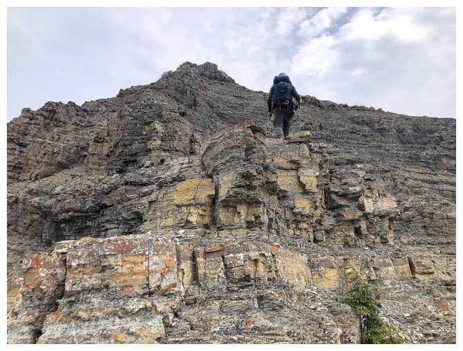
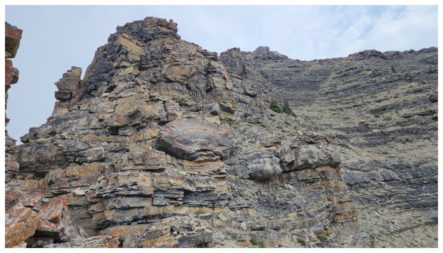
This
is probably the crux of the ridge. Again, it must be circumvented on
the right, but the terrain can be tricky, especially when snow-covered (photo by Dave)
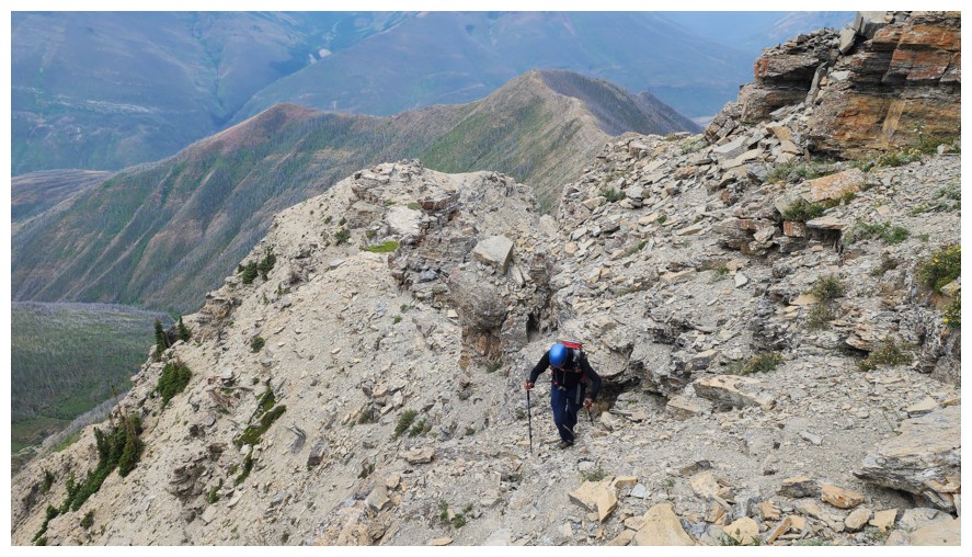
Atop the crux (photo by Dave)
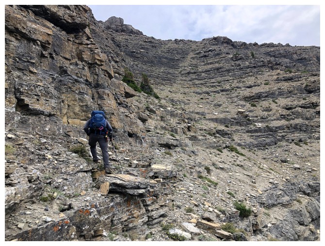
Going right again
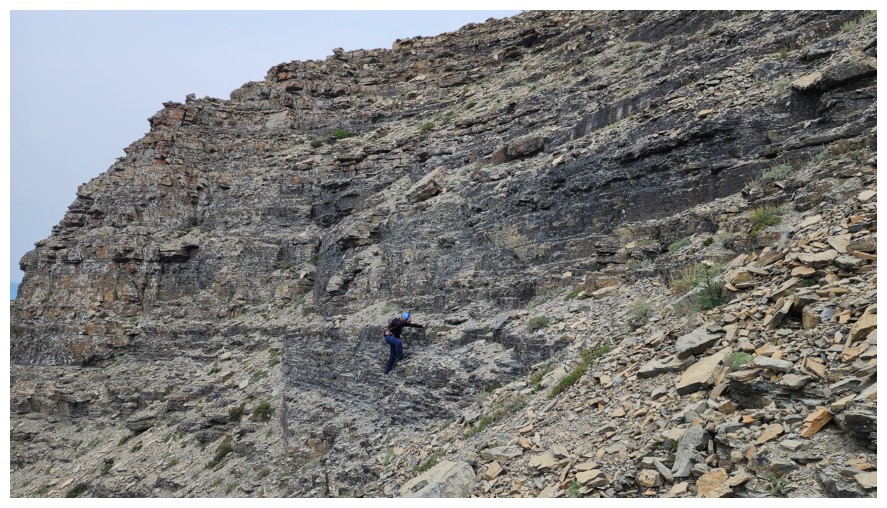
This section is actually quite straightforward if you take the least steep line (photo by Dave)
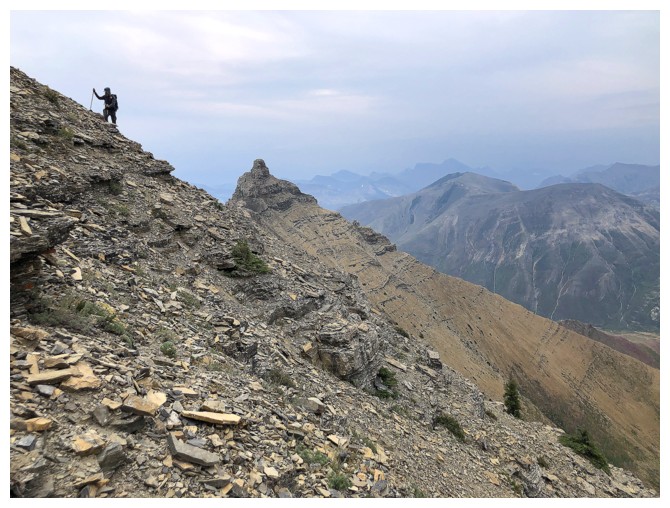
Dave approaches the east ridge of the objective
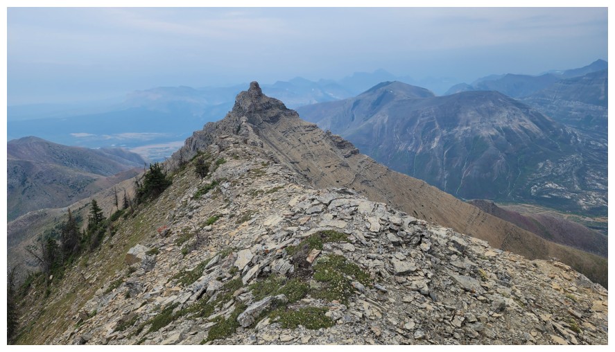
Dave's view of Mount Galwey. The traverse between the two is fantastic (photo by Dave).
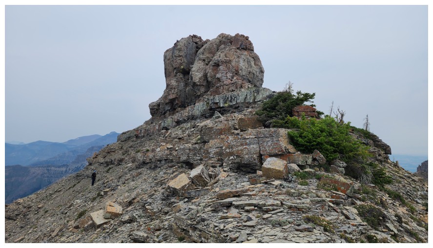
I'm taking a more direct line towards the west side of the summit block (photo by Dave)
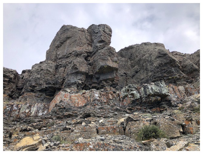
The easy route to the summit goes up the centre
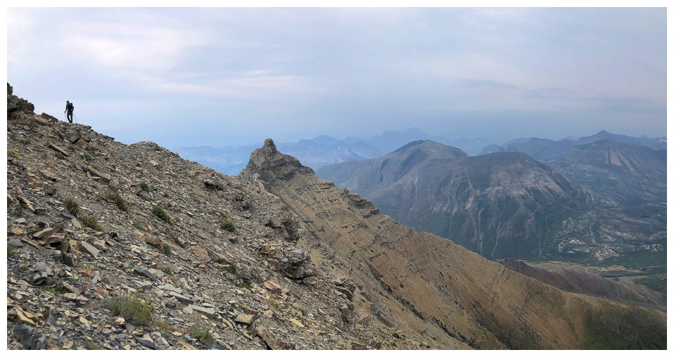
My view of Dave
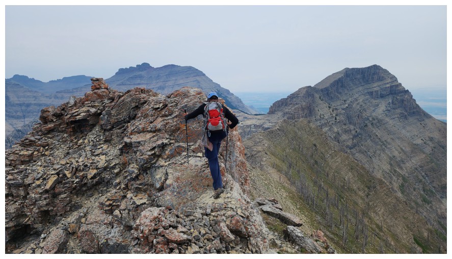
Steps away from the summit cairn (photo by Dave)
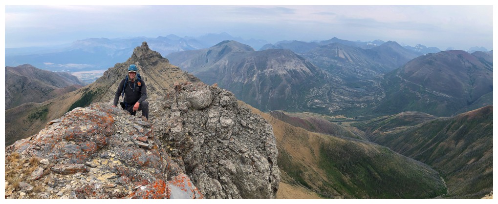
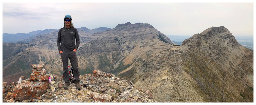
Dave at the top
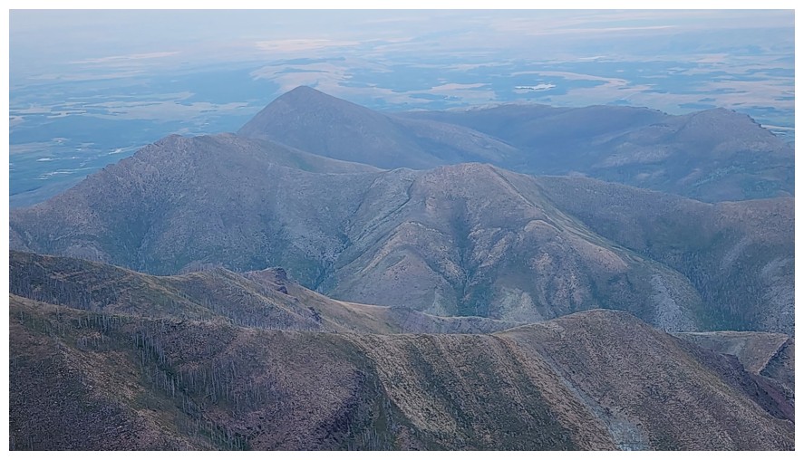
The horseshoe nature of Lakeview Ridge (photo by Dave)
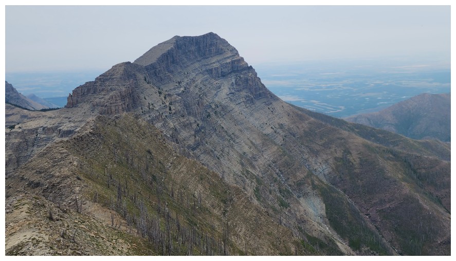
Rogan Peak - also involves a terrific traverse from Galwey North (photo by Dave)
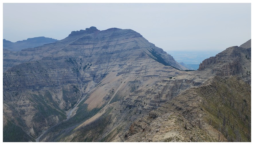
Mount Dungarvan
- fresh off an ascent five days earlier and still one of my favourite
scrambles in the Rockies. Kevin and I traversed from Galwey to Rogan to Dungarvan
in 2007 (photo by Dave).
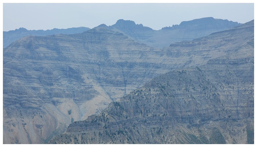
Cloudy Ridge and Cloudy Junior in the background, Dundy Peak just left of centre in the foreground (photo by Dave)
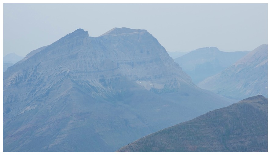 Anderson Peak - also one of my favourite scrambles in the Rockies (if you take the scramble route) (photo by Dave)
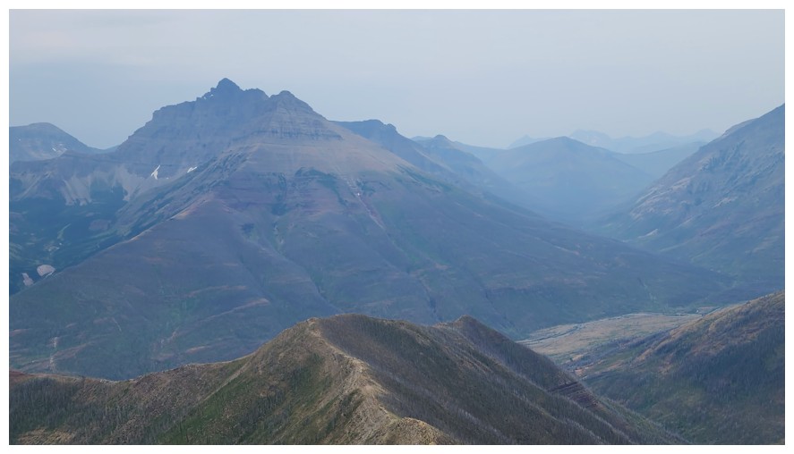
Mount Blakiston at the left (photo by Dave)
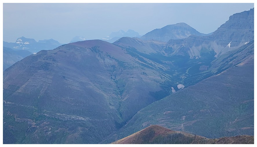
Ruby Ridge (left) and Mount Lineham (right) (photo by Dave)
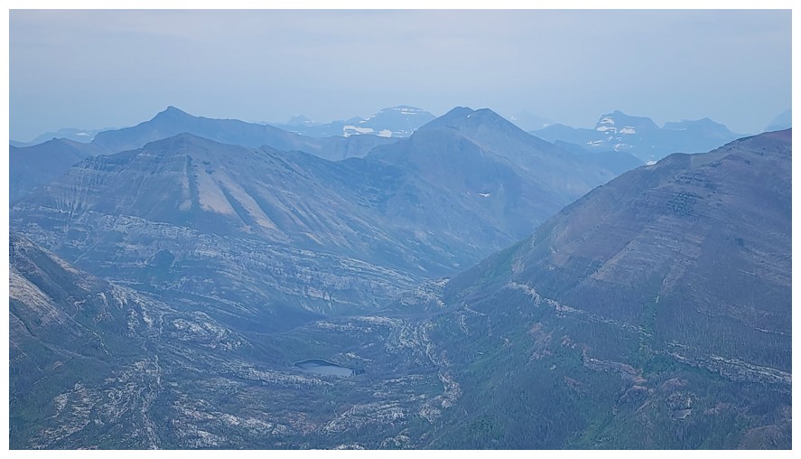
All the summits of the Buchanan massif in the foreground and lots of other stuff behind. Crandell Lake at the lower centre (photo by Dave).
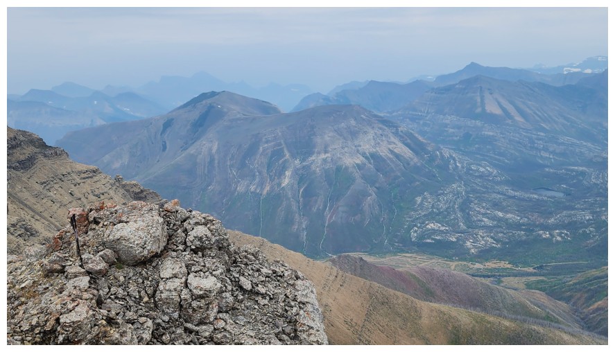
Mount Crandell (photo by Dave)
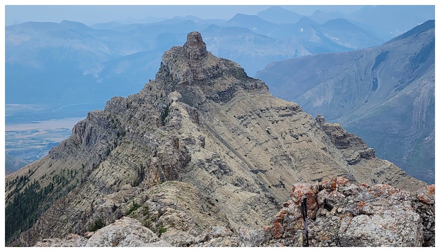
Close-up of Galwey and the connecting ridge (photo by Dave)
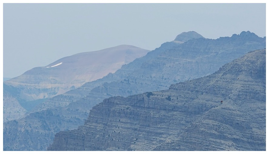
Newman Senior, Glendowan, and Cloudowan (photo by Dave)
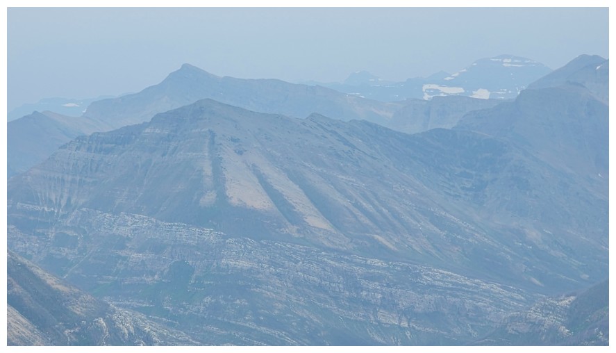
Buchanan Northeast at the left in the foreground and Mount Alderson behind (photo by Dave)
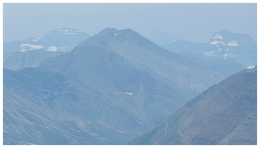
Mount Carthew between Chapman Peak at the left and Mount Custer at the right (photo by Dave)
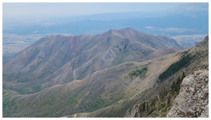
Bellevue Hill - I was on that one 24 hours earlier (photo by Dave)
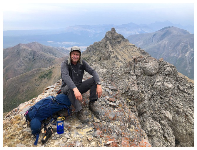
Happy Dave at an awesome summit
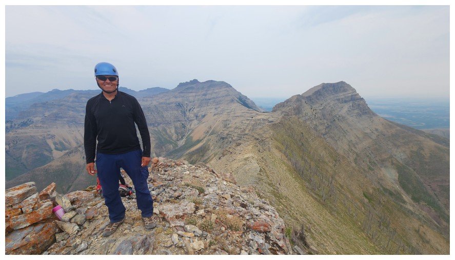
Happy me (photo by Dave)
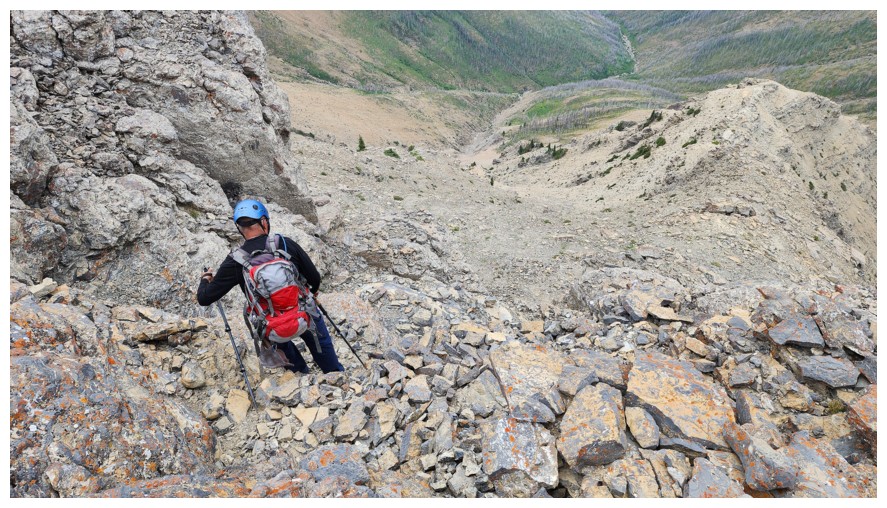
The start of the descent (photo by Dave)
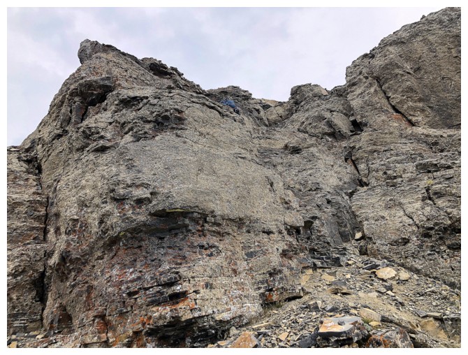
Dave is just visible, descending the easy route off the summit
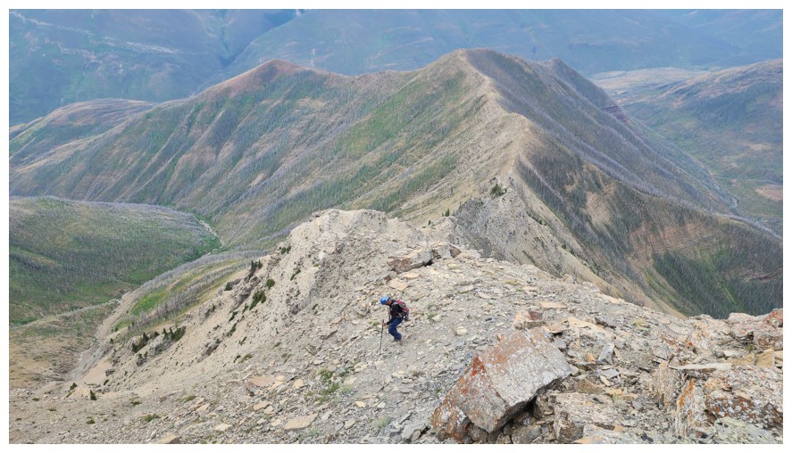
The descent ridge takes the left fork, but the right one also provides an entertaining route (photo by Dave)
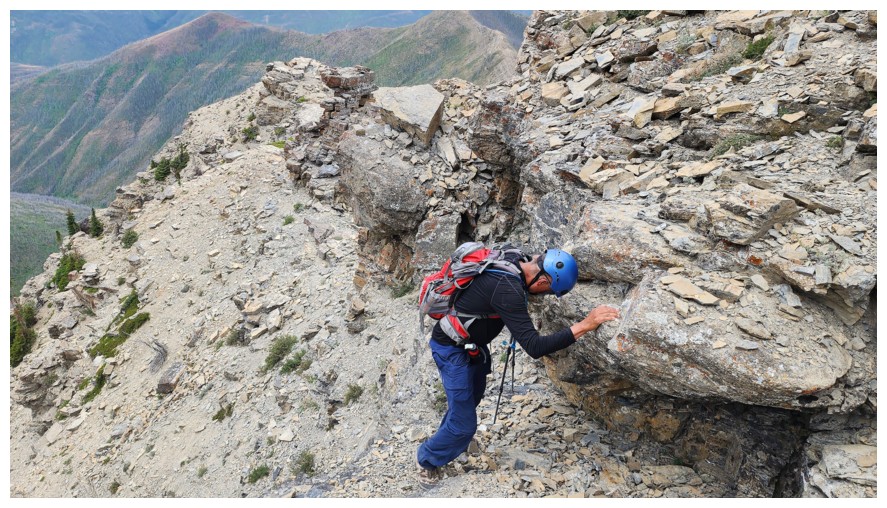
Easy does it here - there's a drop below me that you want to scramble down, not fall down! (photo by Dave)
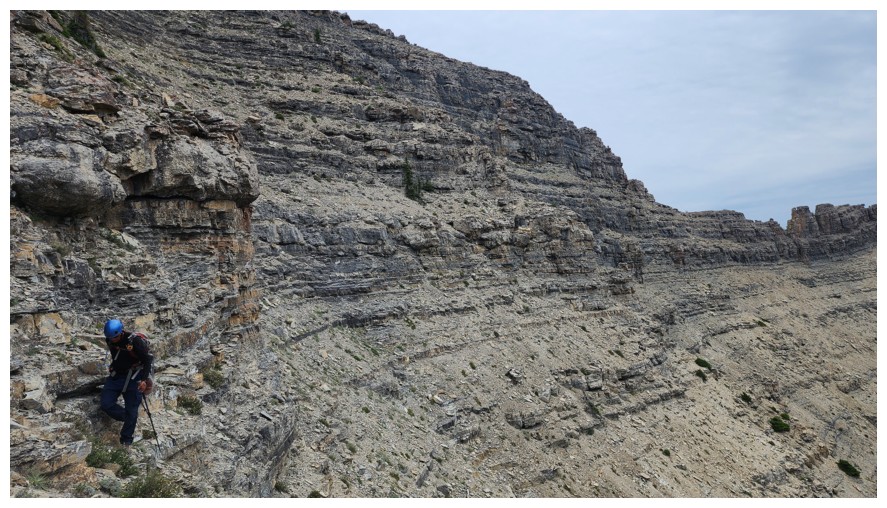
Same as above (photo by Dave)
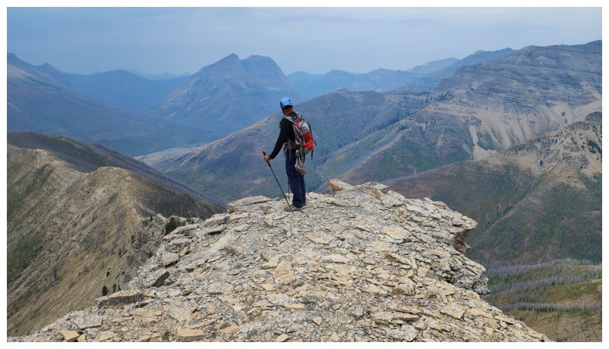
Pausing at a highpoint to decide next steps (photo by Dave)
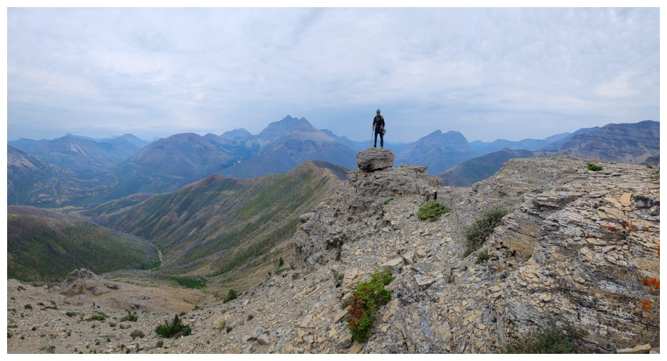
A scenic little perch (photo by Dave)
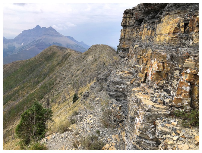
Nice ledge to follow to get back to the ridge and the end of the tough stuff
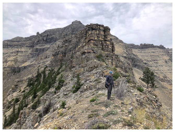
On the ridge again
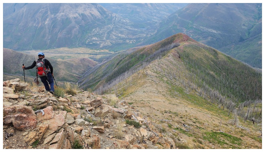
Super easy from this point on (photo by Dave)
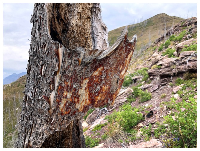
Cool remnants of a tree
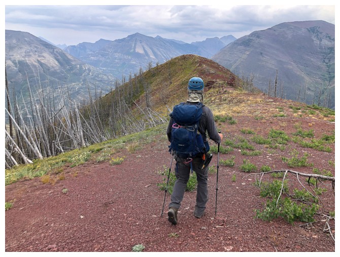
Back to that sweet carpet of argillite
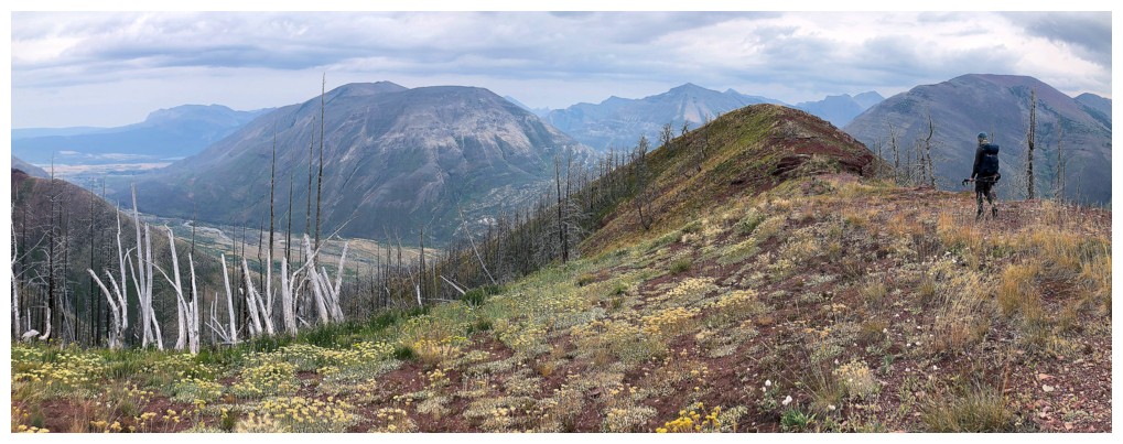
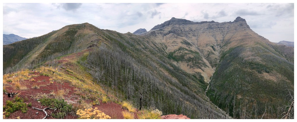
Looking back
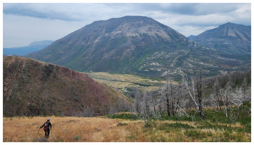
Descending the same route we came up (photo by Dave)
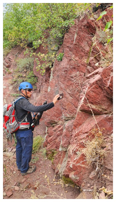
Back in Coppermine Creek and awed by something (photo by Dave)
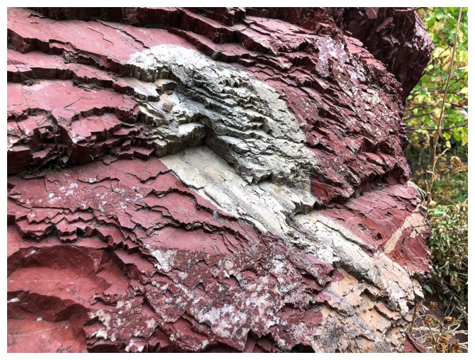
This
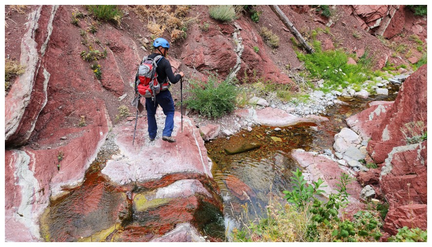
Thoroughly enjoying the red of the creek (photo by Dave)
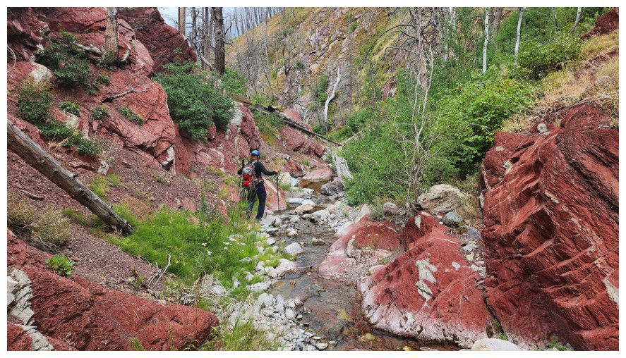
Same as above (photo by Dave)
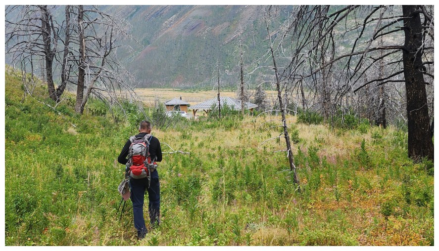
Last few metres of travel at the end of an awesome day (photo by Dave)
The End
LOG