Table
Top Peak III
February 15, 2026
Mountain height: 2270 m
Total elevation gain: approximately 900 m
Ascent time: 3:45
Descent time: 2:20
Solo scramble.
I can safely
add Table Mountain and all its outliers to the growing list of mountains in Southern
Alberta that can be great objectives in any month of the year. 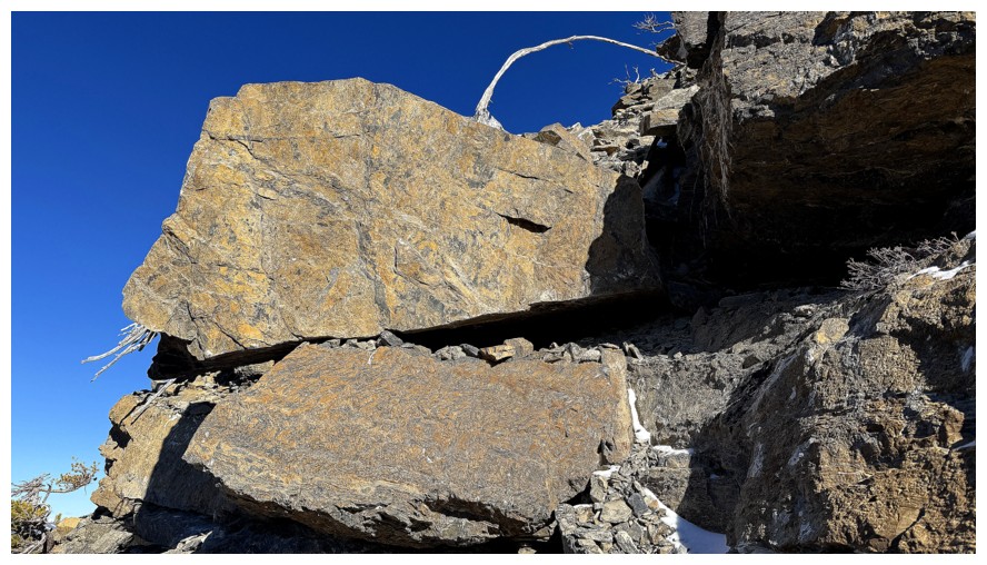 The massif tends
to shed much of its snow at the first signs of a Chinook, and it had been
“Chinooking" hard in all of Southern Alberta for several weeks prior to
February 15.
The massif tends
to shed much of its snow at the first signs of a Chinook, and it had been
“Chinooking" hard in all of Southern Alberta for several weeks prior to
February 15.
The objective
of the day was a third ascent of Table Top Peak, but hopefully via a slightly
different route than the standard one from the official Table Mountain Trail. On
my first ascent of Table Top, I had continued over to its very scenic western
outlier and descended the east side of that peak. This time I would check out
the west side.
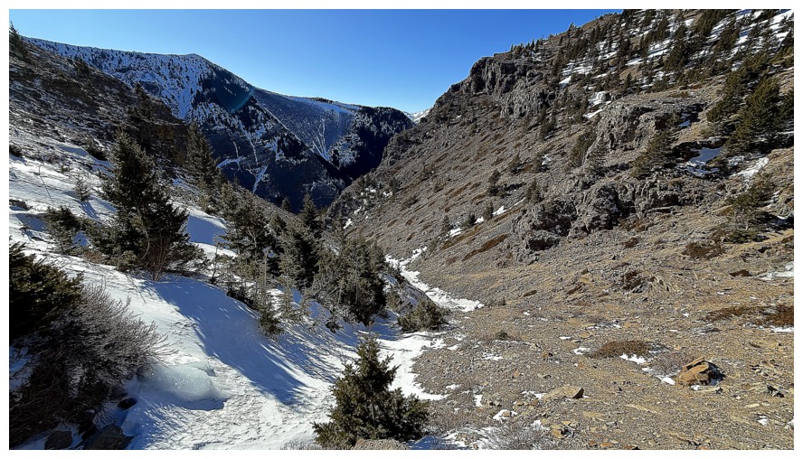
After hiking
the Table Mountain Trail for about a kilometre, I hopped down into a drainage
to the right and then made my way up towards the impressive northwest end of the
outlier. Once above treeline, I was lucky enough to find a terrific animal
trail wrapping around the peak. Although the northwest side was guarded by
steep rock bands, I was able to descend to the creek that bisects the outlier
with the northern end of Whistler Mountain. The logical course of
action, at this point, seemed to be travel up the creek, possibly all the way to one of the two
Whistable Peaks (outliers between Table and Whistler mountains) and then
traverse over to Table Top.
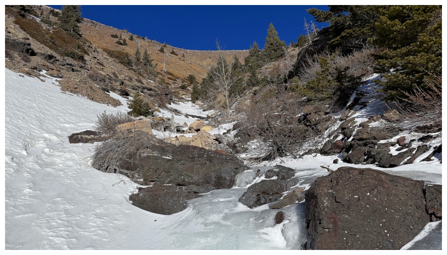
Following the
creek proved to be a very rewarding but slow and time-consuming process. With a
7-hour time restriction on the trip, I had to eventually concede I would not be
able to make it to one of the Whistables and get back to my car in time. 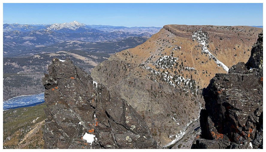 Instead, I turned
east, up steepish slopes toward the ridge of the outlier. This too turned out
to take far longer than expected. However, at least I was now gaining elevation
relatively quickly, heading more directly towards Table Top, and the views were
starting to open up.
Instead, I turned
east, up steepish slopes toward the ridge of the outlier. This too turned out
to take far longer than expected. However, at least I was now gaining elevation
relatively quickly, heading more directly towards Table Top, and the views were
starting to open up.
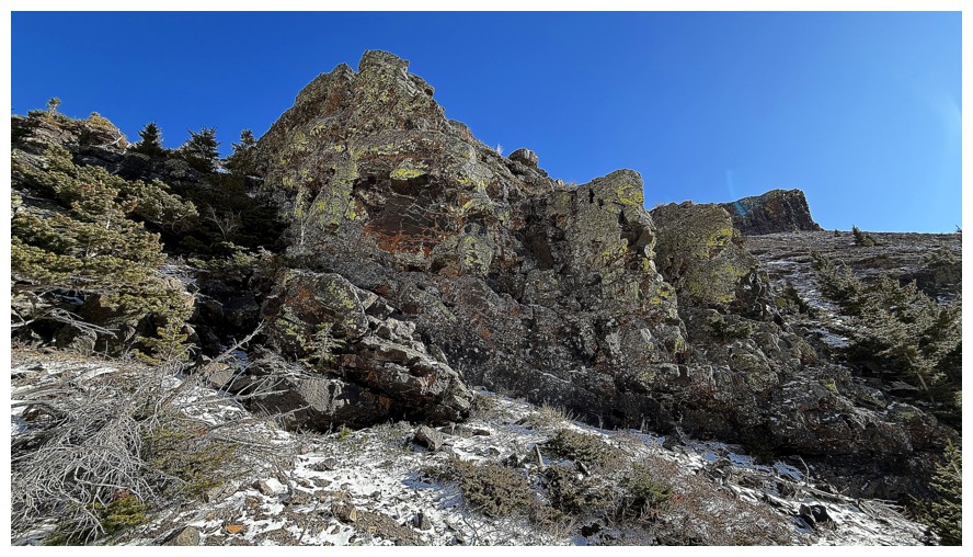
About 1.25
hours after leaving the creek I gained one ridge and then made my way over to
the Table Top ridge, unfortunately feeling the need to bypass one of the major
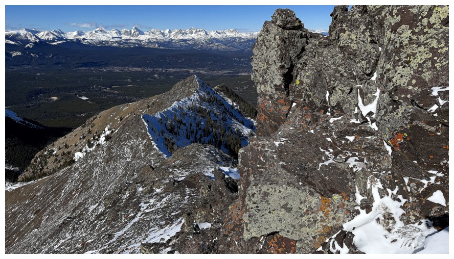
highpoints. No matter – the section of ridge I was able to traverse was
breath-taking, especially the lichen-covered rock near the south end.
An easy slog to
summit followed, but before reaching the top, I took short detour
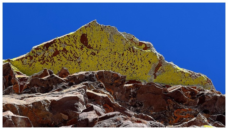
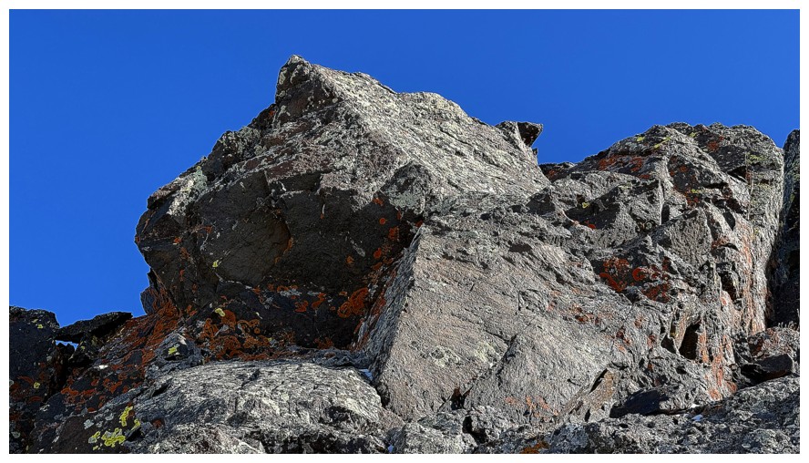
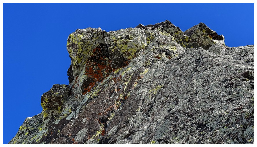
around the west side of the summit block. There sat some of the best yellow and
orange lichen on igneous rock scenery I had ever seen. In light of that little
but stunning detour, I stayed at the summit only for a few minutes.
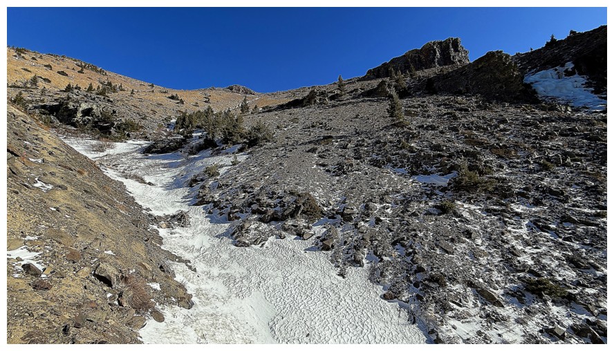
My descent
route would have to be the shortest route I could find. The safest path would be
to hike down and then up to the Table Mountain Trail. 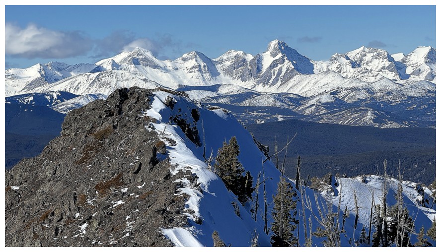 However, I had spotted
another potentially cool rock band, similar to one as I had recently seen on
Prairie Bluff, and that band was calling. Once almost down to the Table
Top/Table Mountain col, I turned left, descended into a drainage and then hiked
up the other side towards the rock.
However, I had spotted
another potentially cool rock band, similar to one as I had recently seen on
Prairie Bluff, and that band was calling. Once almost down to the Table
Top/Table Mountain col, I turned left, descended into a drainage and then hiked
up the other side towards the rock.
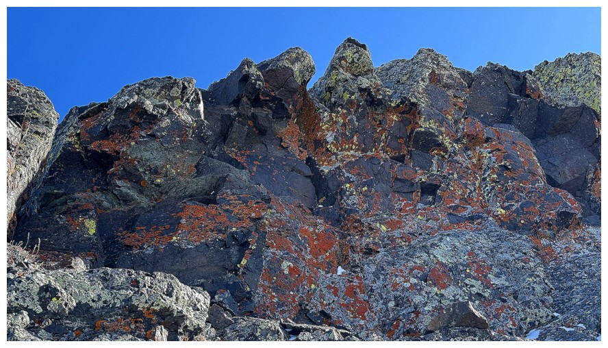
And was this
little detour worth the price of taking an unknown route and potentially
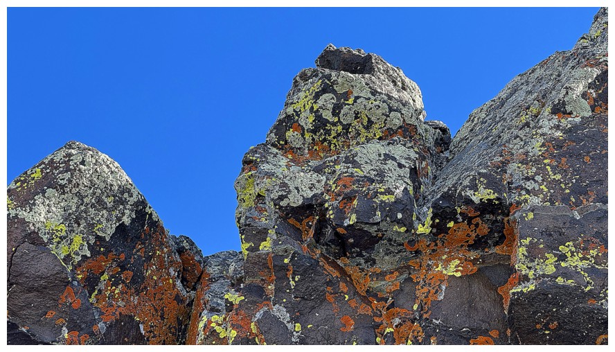
exceeding my trip timeline? Heck yes!! The band of lichen-covered red argillite
and other types of rock was superb, demanding a barrage of photos and the
accompanying “oohs” and “aahs”!
Reluctantly
leaving the spectacle I continued hiking in a northwest direction, hoping that
upon reaching the next ridge an easy path down to the main trail would be
revealed; odds were good, as I was now approaching the general vicinity of the
route Mark and I had used to ascend Table Top in 2017. The route worked
perfectly and in no time I was enjoying the stress-free and scenic hike back to
the start.
While I would
be hesitant to characterize the ascent route as one of the better ones on Table
Mountain, the new scenery and views were most welcome. And the trip did give me
some other route ideas for the wonderful Table/Whistler massif. Until next
time, Table Mountain.
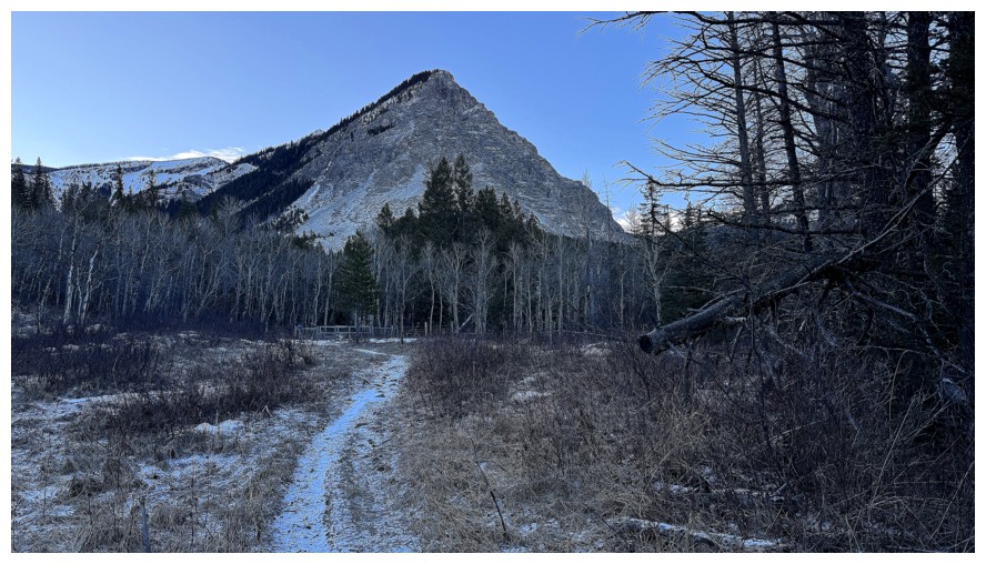
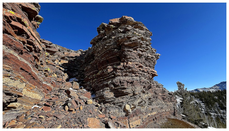
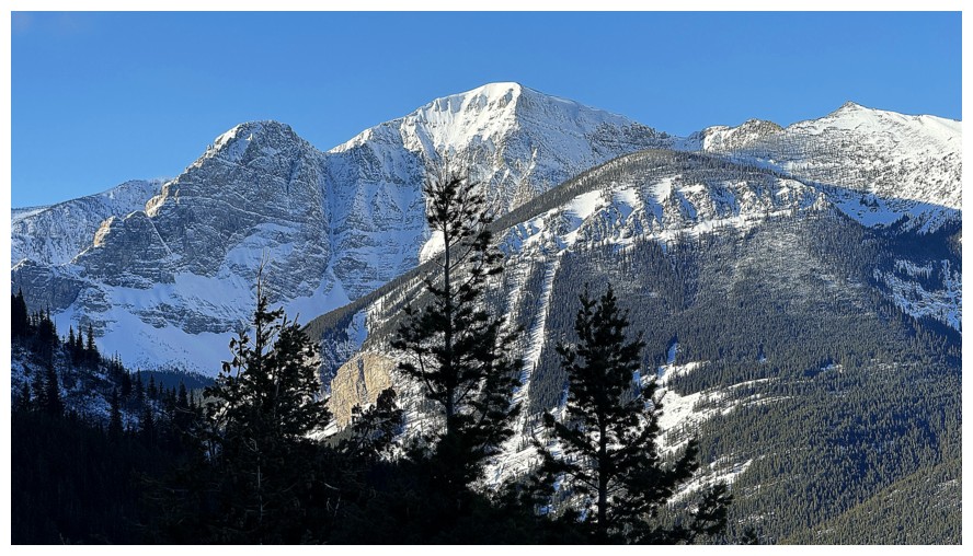
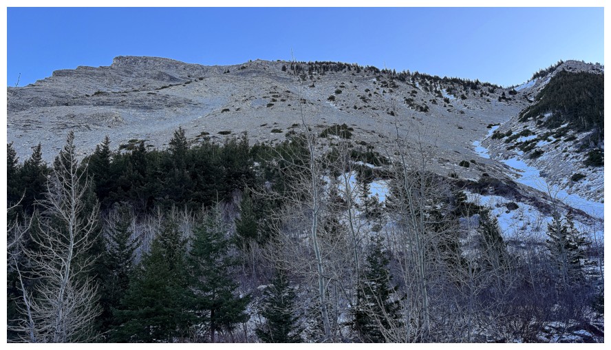
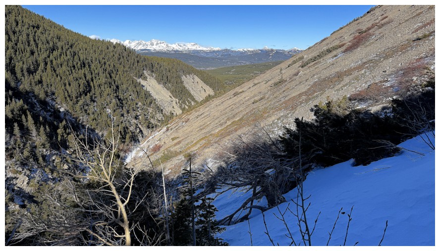
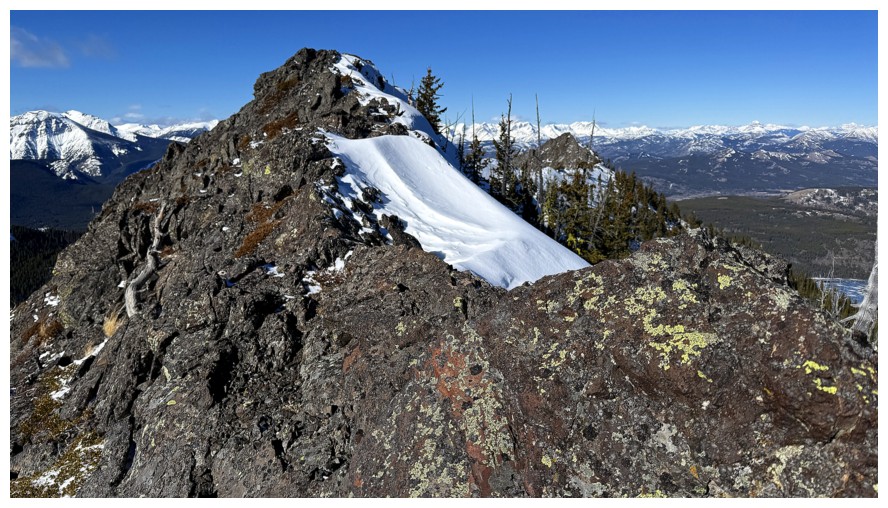
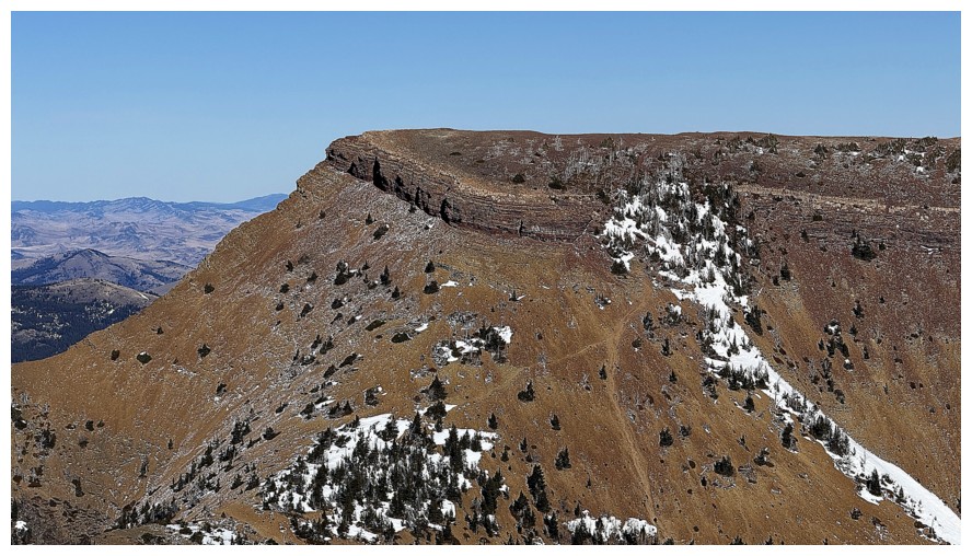
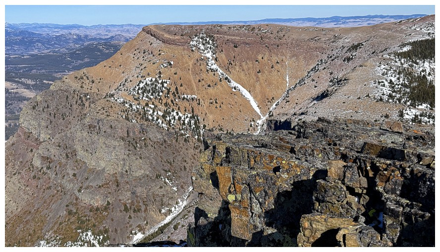
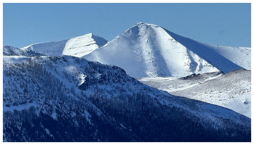
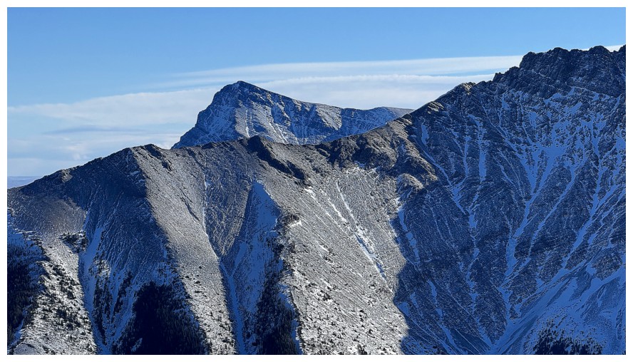
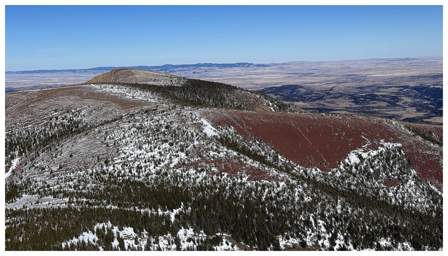
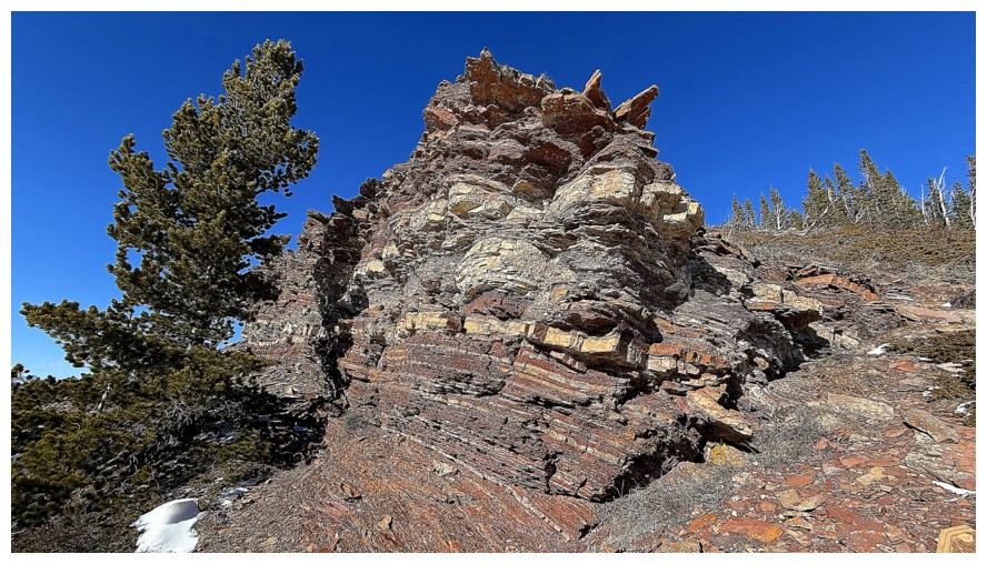
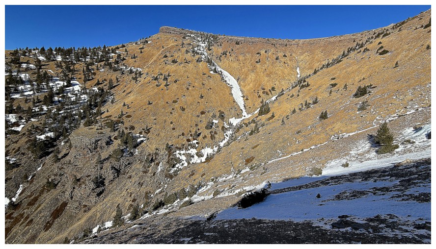
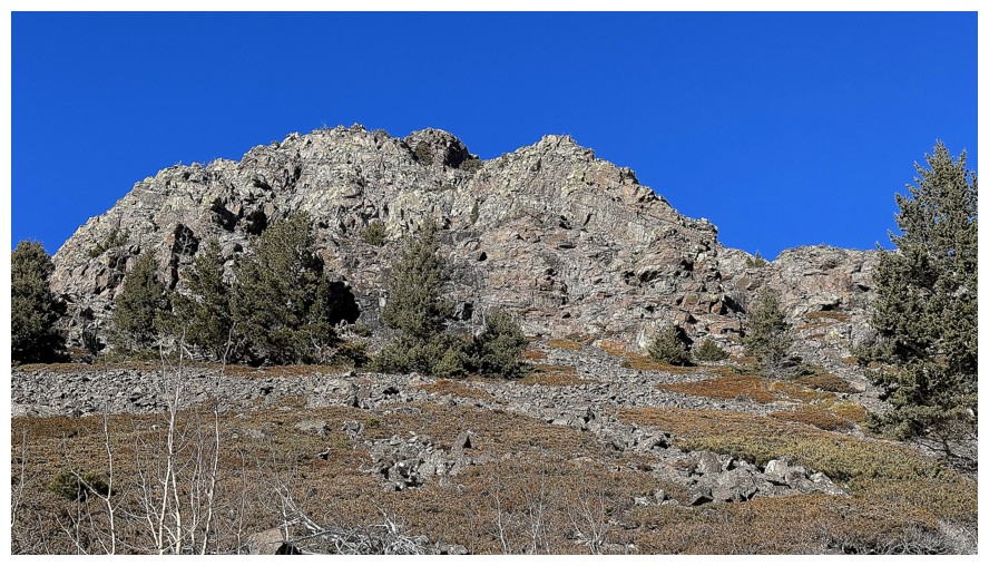
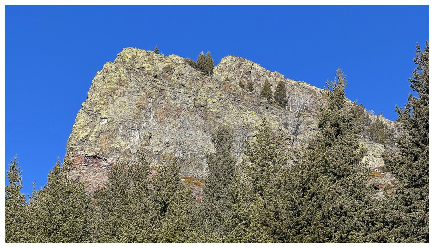
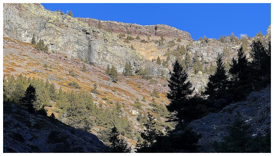
The outlier that will be the focus of the ascent route. I came down the
left side several years ago; this time I will try going around the
right side.
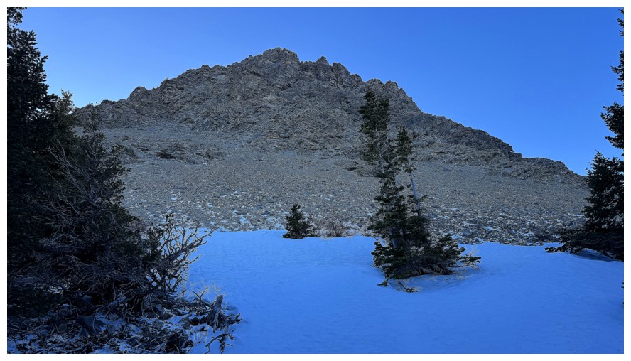
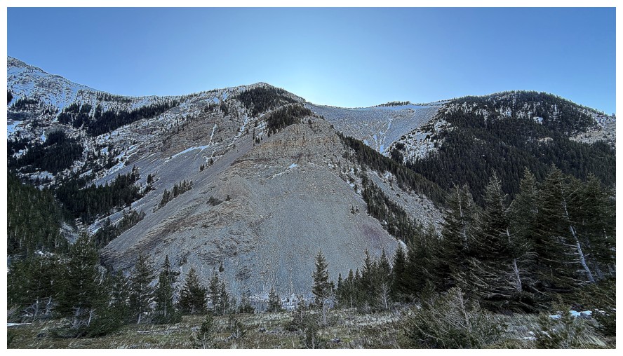
Nearing treeline below the north face of the outlier
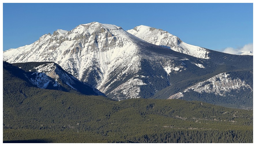
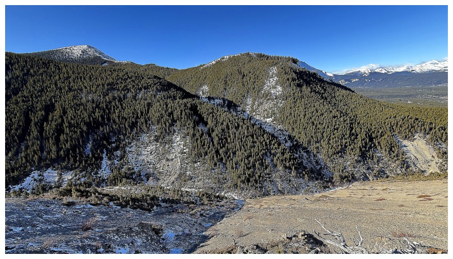
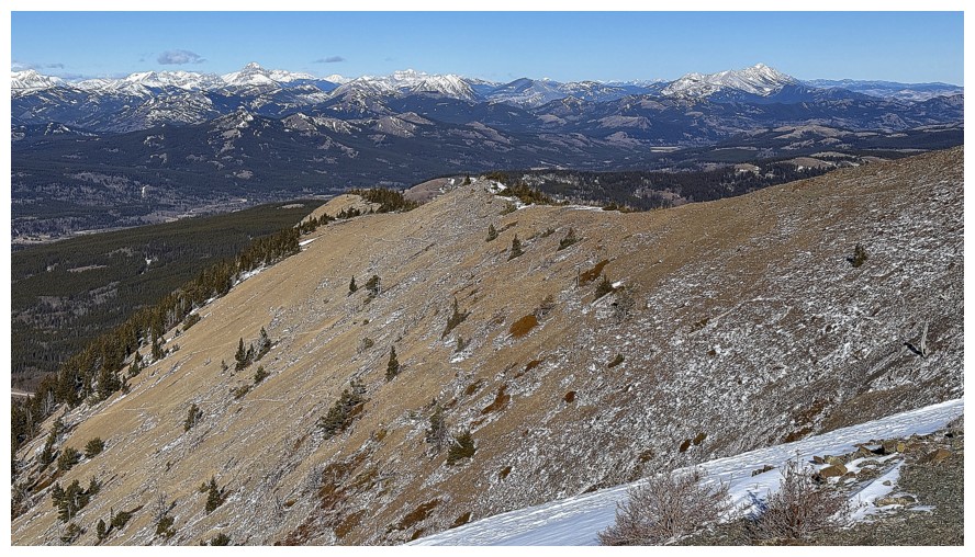
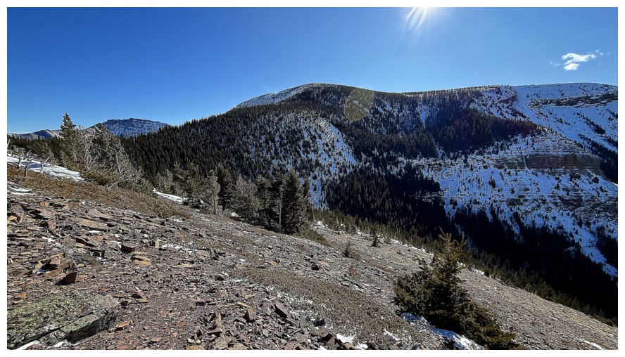
Looking over to the amazing Western Plateau of Table Mountain
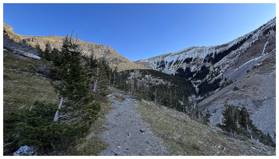
On a pronounced trail that's going in the direction I want to go
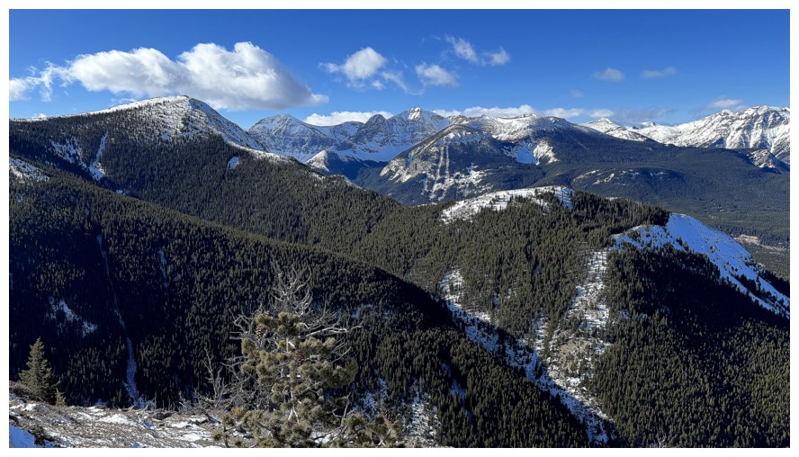
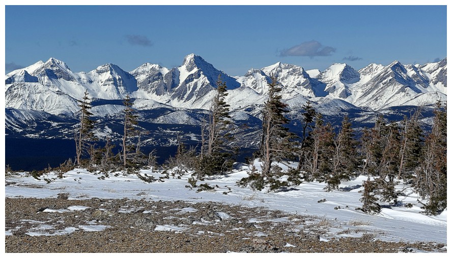
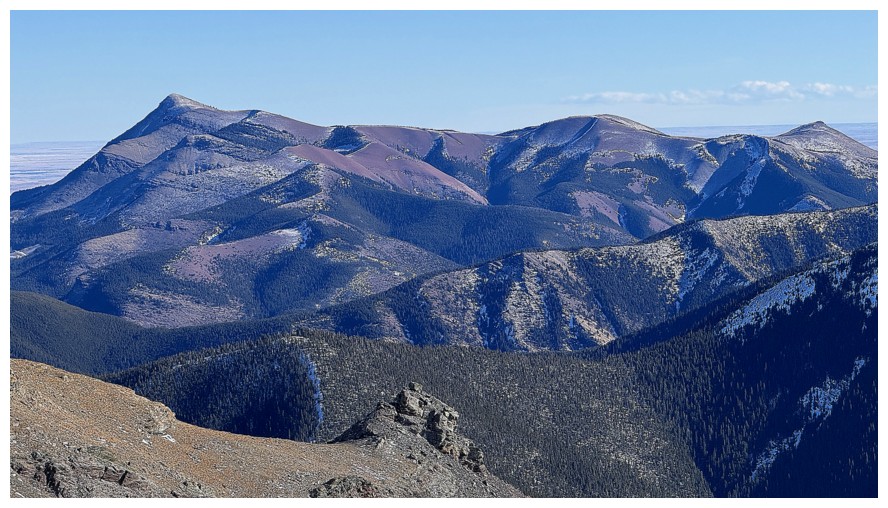
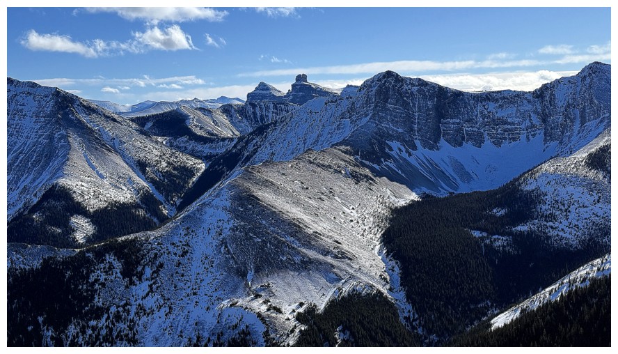
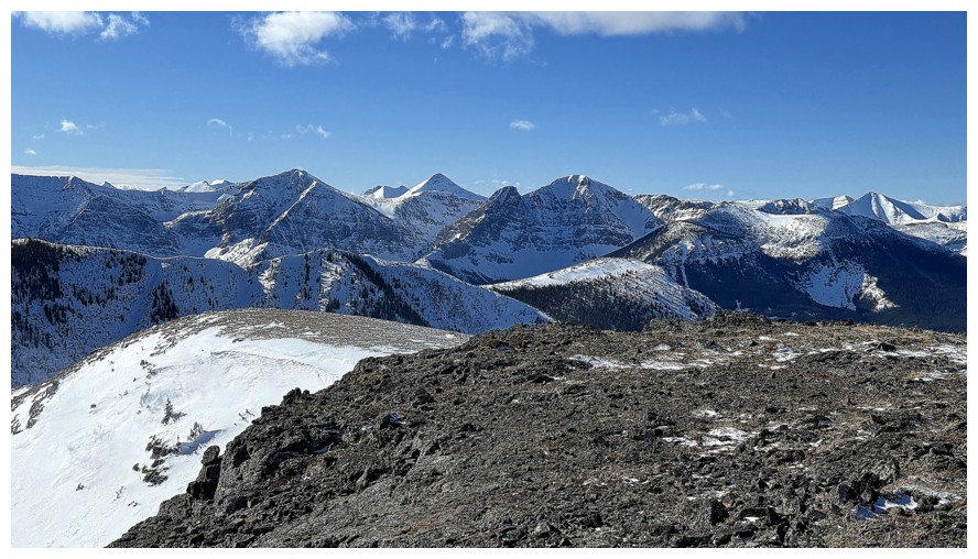
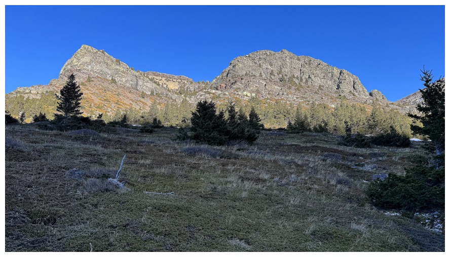
The Amoebet (left), The Amoeba (centre), and Southfork Mountain (right)
The three summits of Syncline Mountain
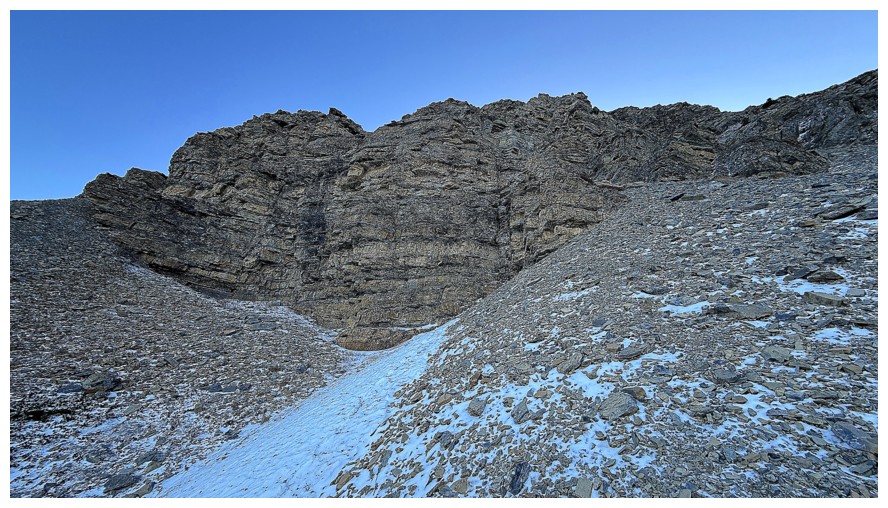
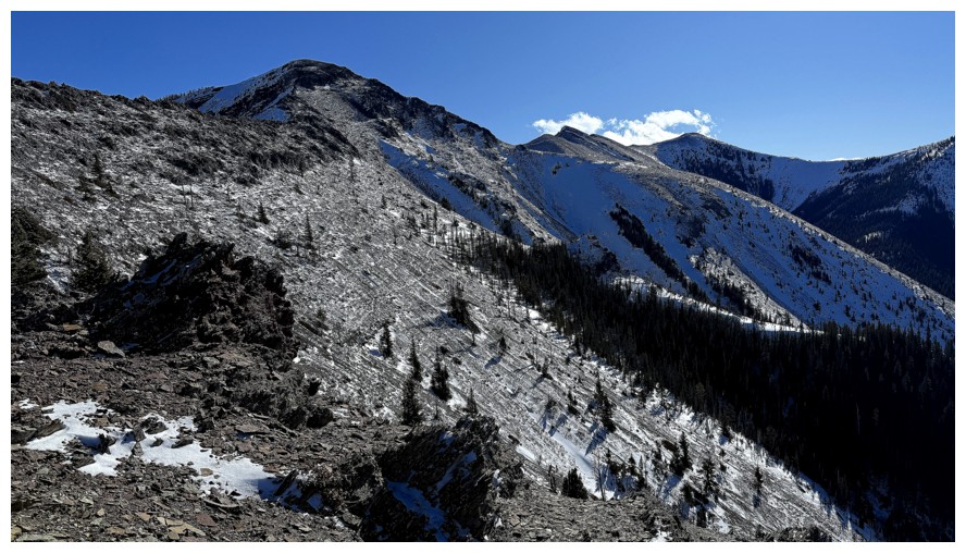
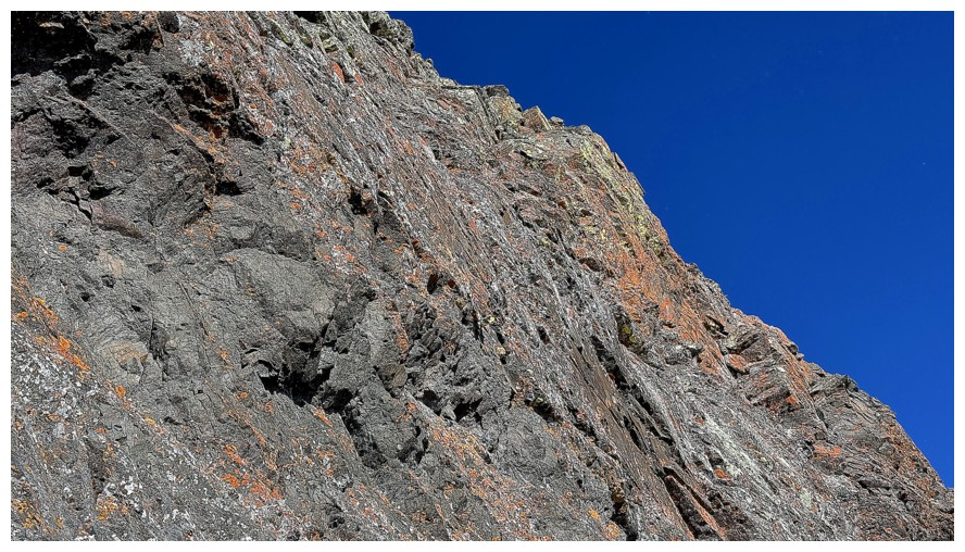
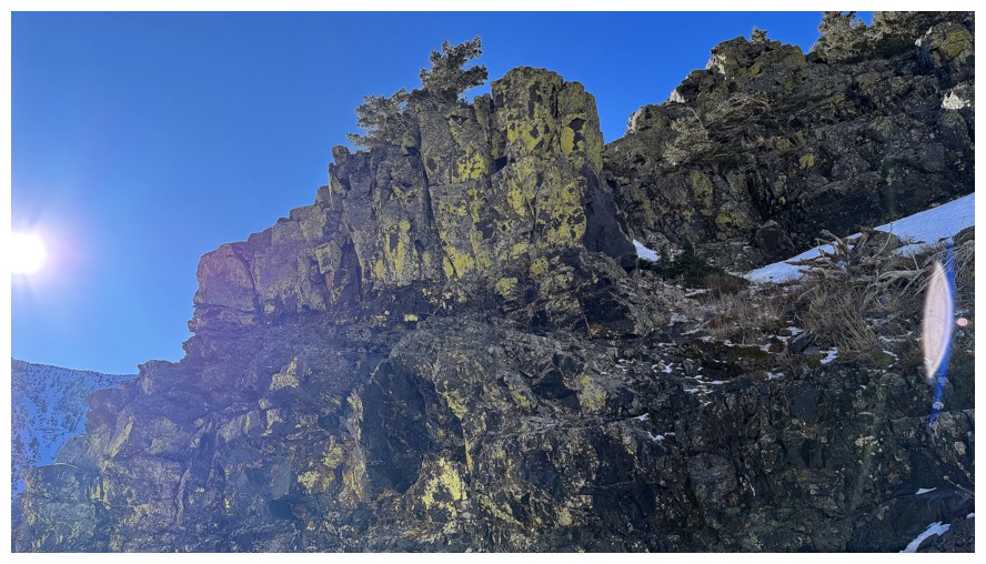
The steep walls of rocks above prevented me from gaining the outlier at its northwest end
The northwest end of Whistler Mountain. Looks like there may be some route potential up that way.
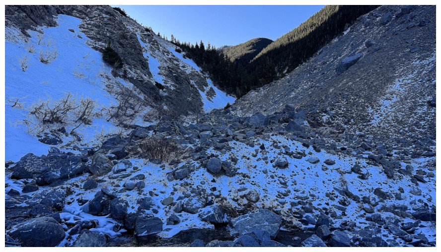
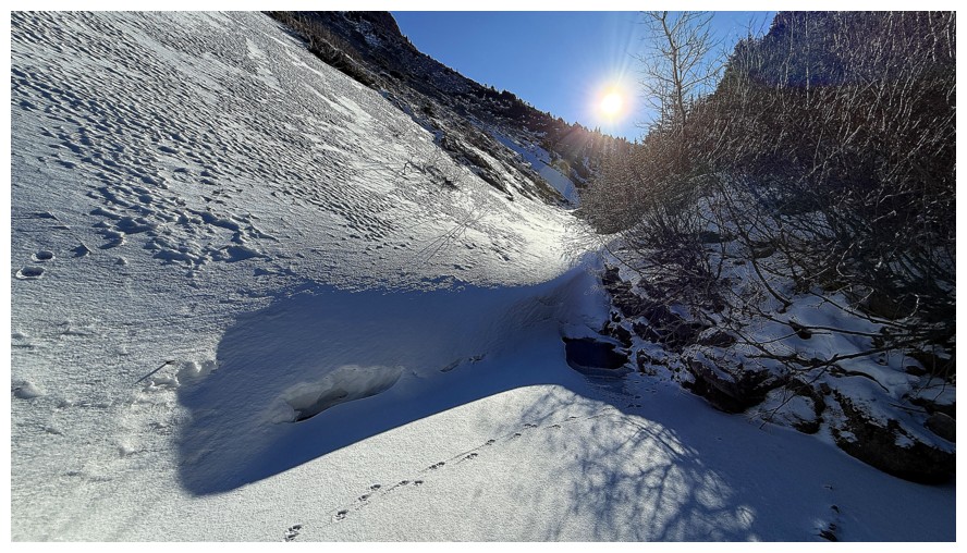
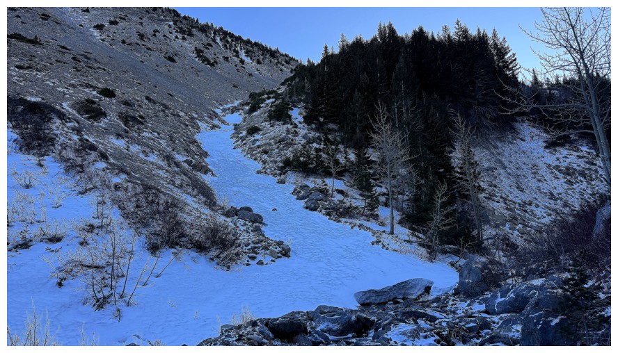
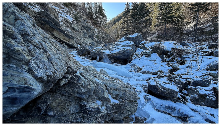
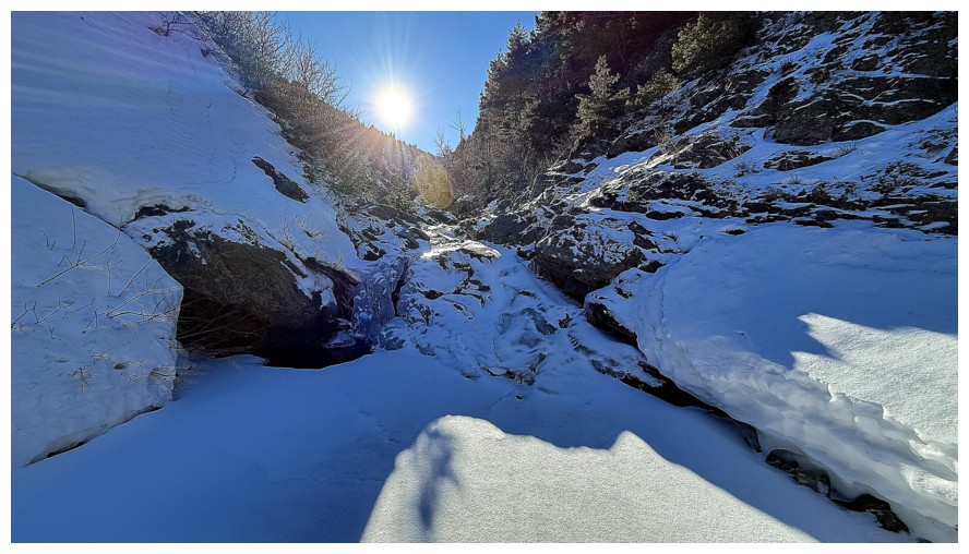
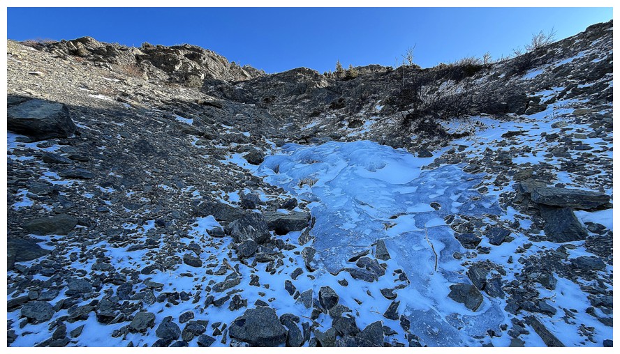
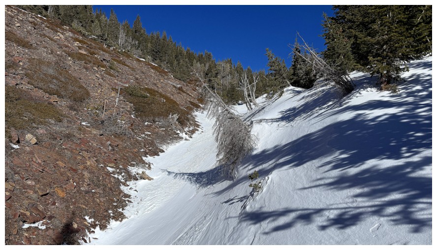
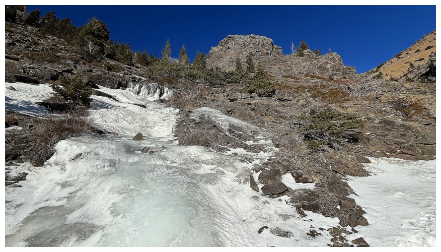
Down in the valley and ready to follow the creek upstream
Looks like there will be a wee bit of water scenery and lots of ice
There will also be tons of potential routes up to the northwest ridge of the outlier, but I'd rather see the creek for now
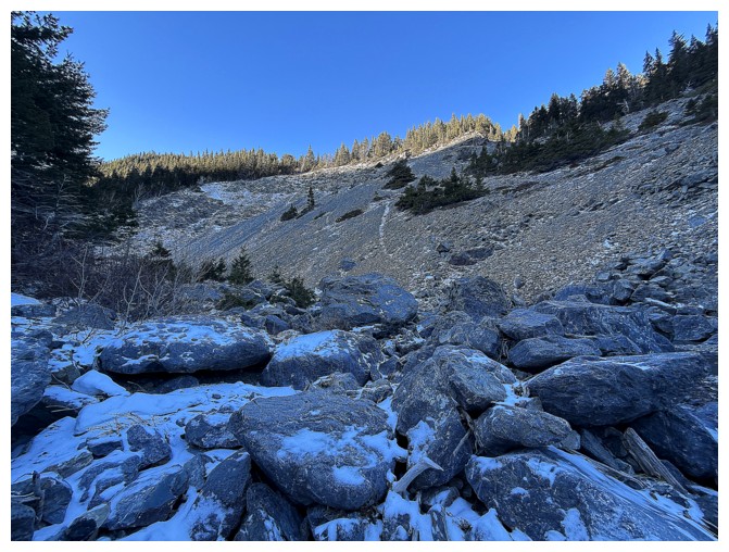
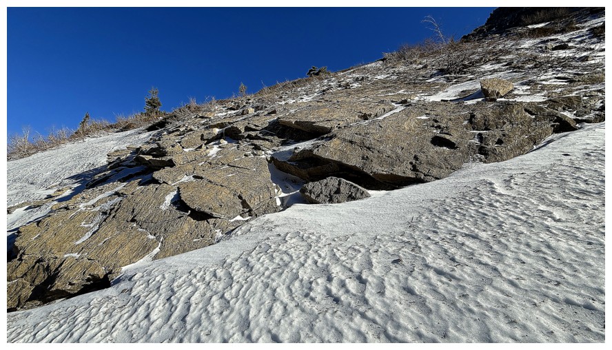
Easy boulder hopping
More routes up that I will be passing by
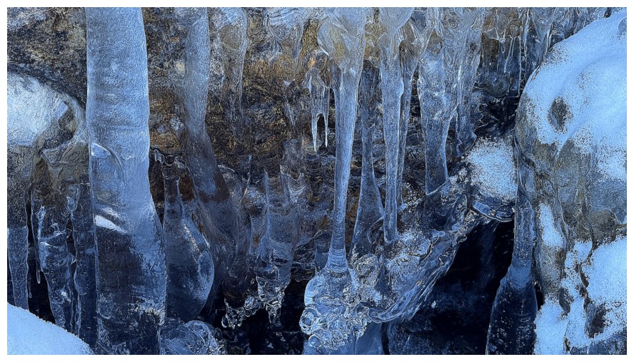
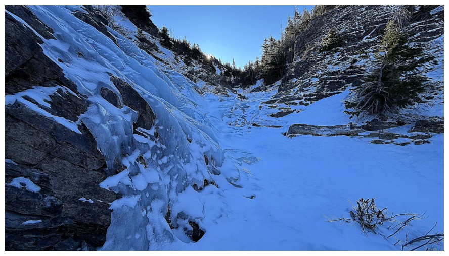
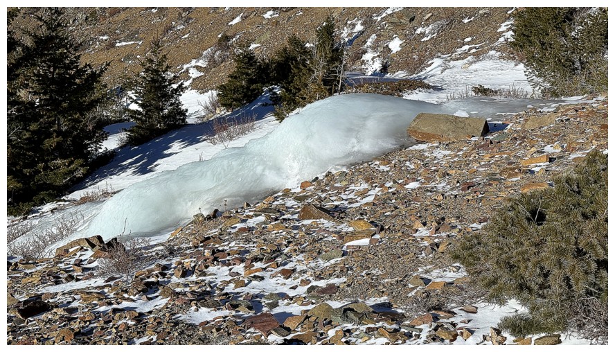
This snow was rock hard and would have required good crampons and an ice axe, or even ice tools
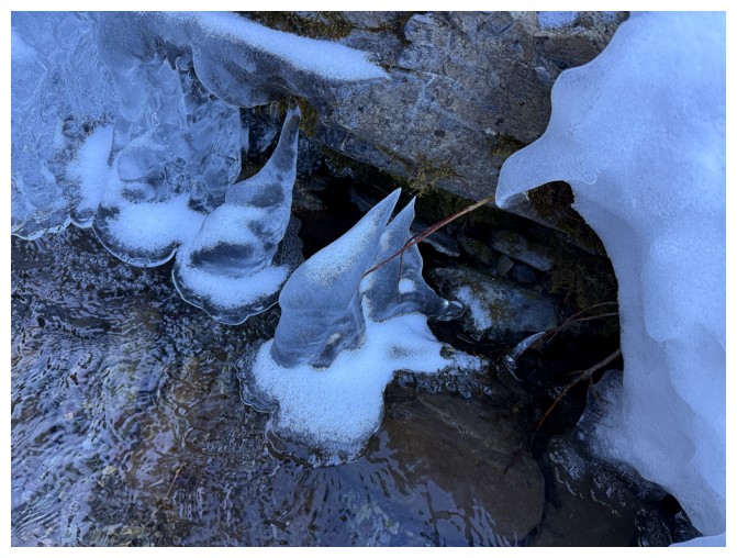
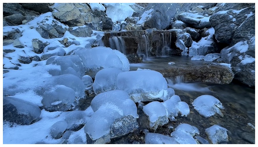
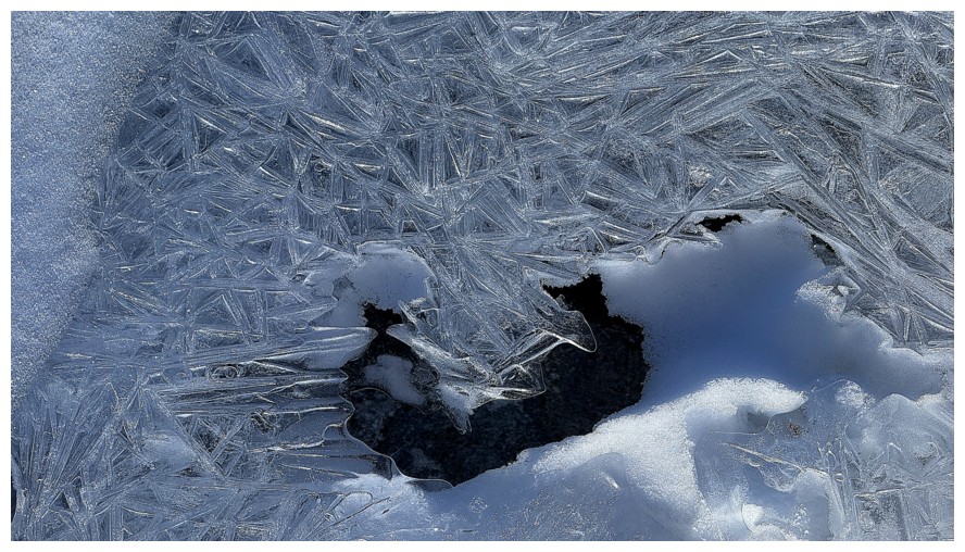
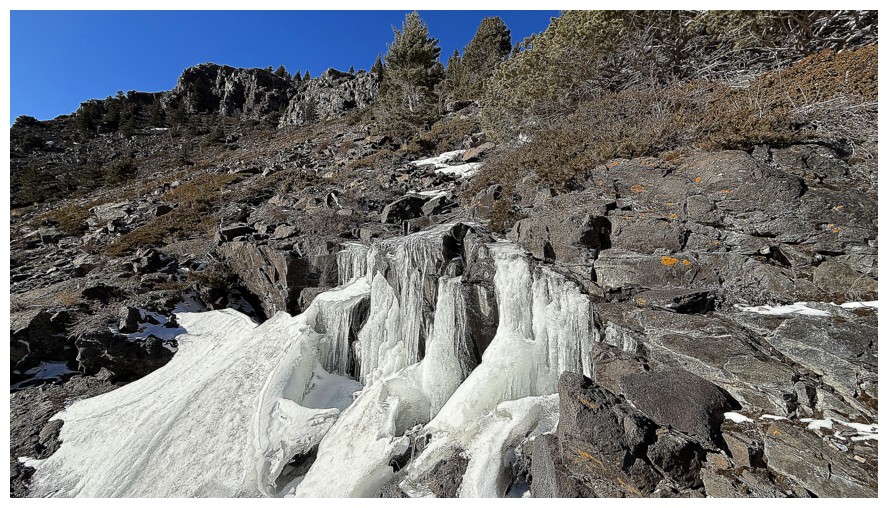
Neat ice feature
Close-up
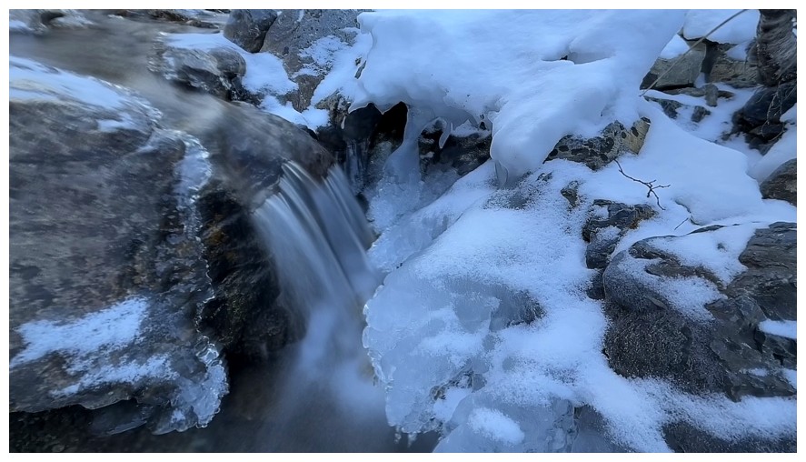
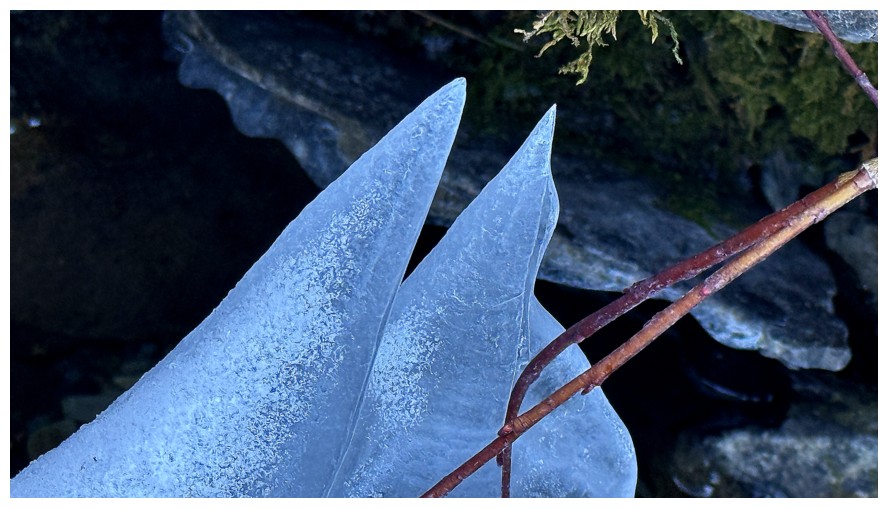
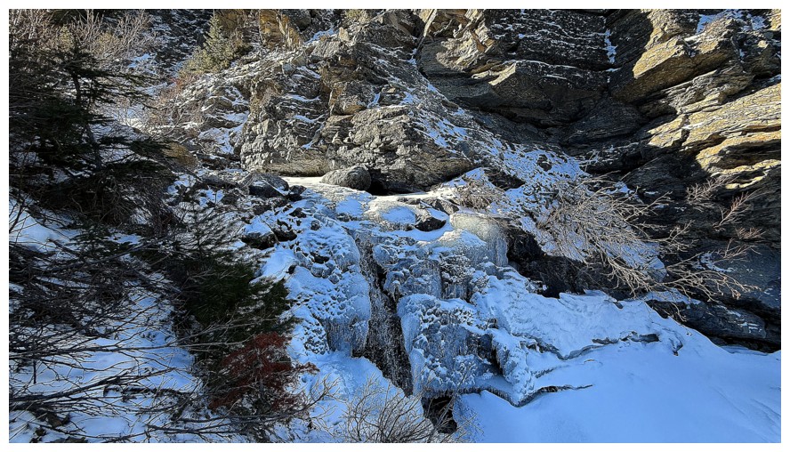
Waterfalls don't need to be huge to appreciate their beauty
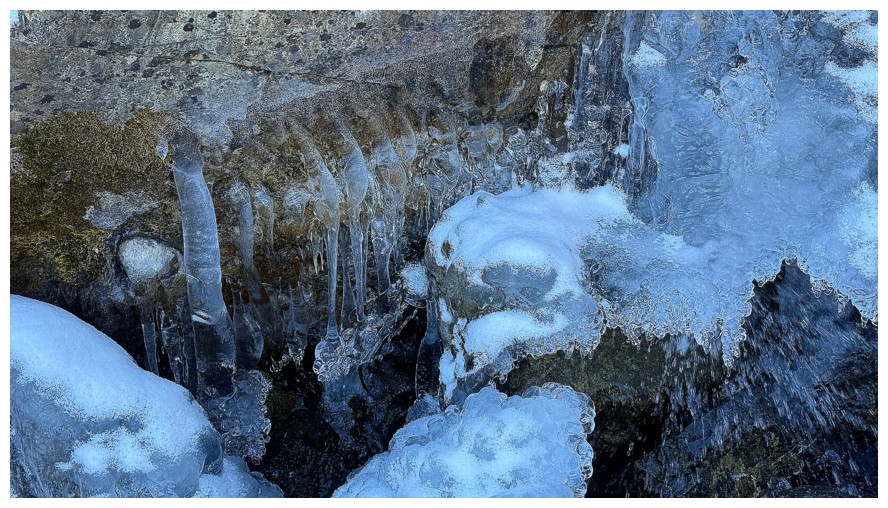
Nor do ice formations
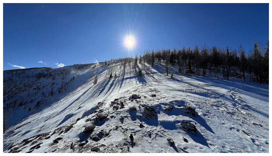
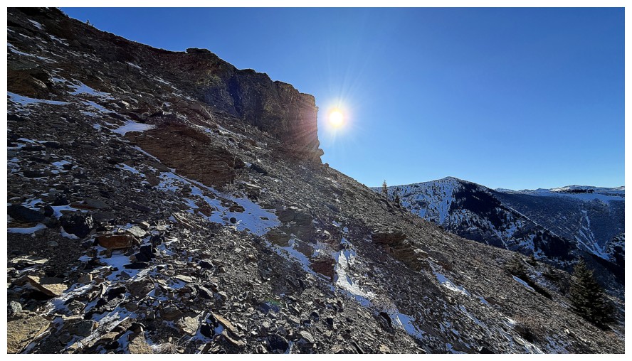
The Sun is just around the corner
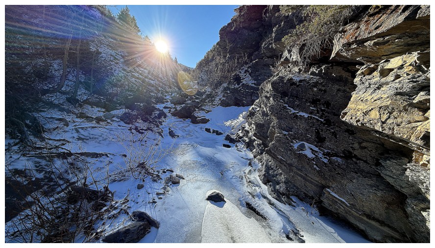
There it is
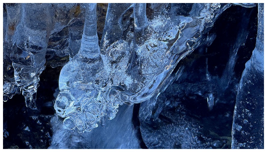
Lots of triangles in there
The Sun lights up the west side of the valley
This section was trickier than it looks and required lots of grabbing onto branches and hoping they wouldn't break
This one required a slippery upward traverse along the creek
Cool slabs on the east side
Back in the shade for a while
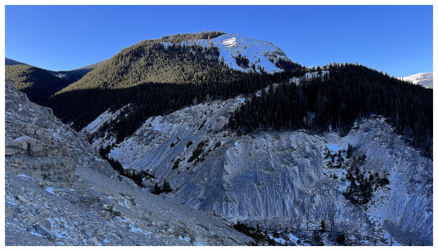
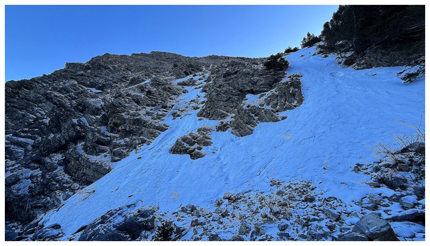
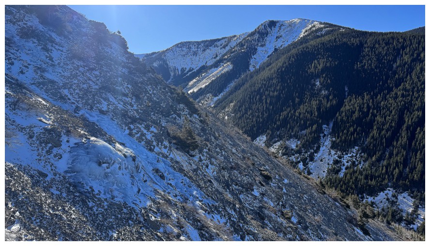
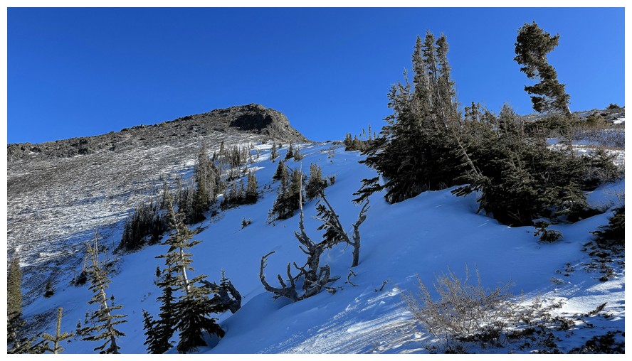
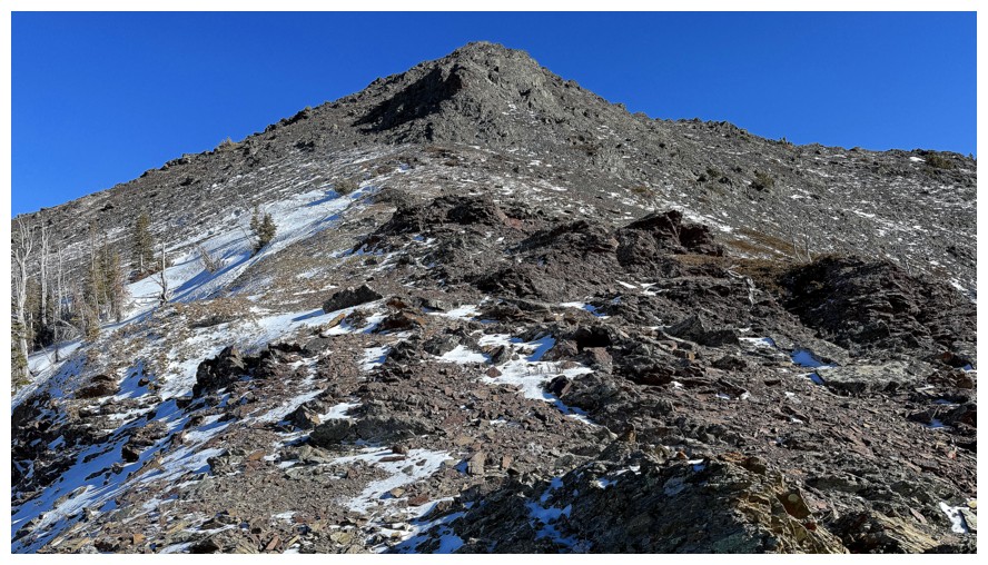
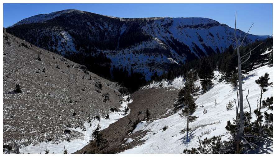
Heading up to the ridge. It looks close but took me over an hour to gain.
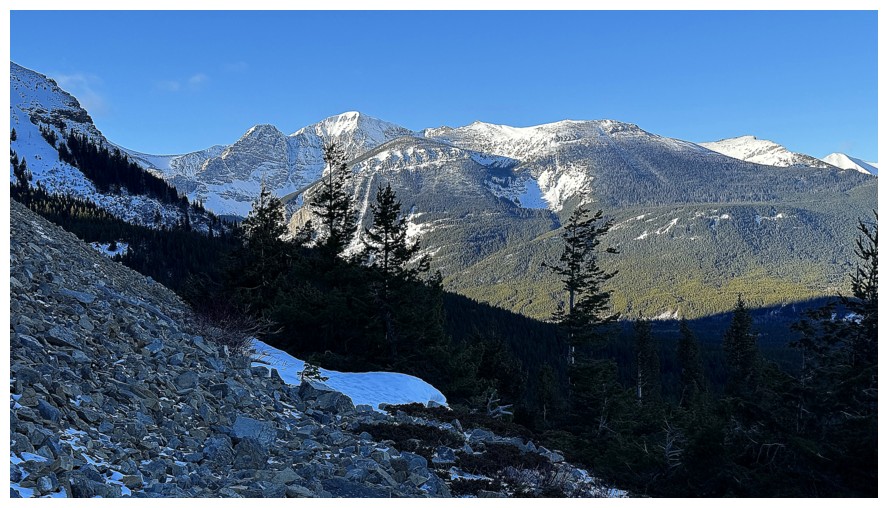
Looking back down the approach valley
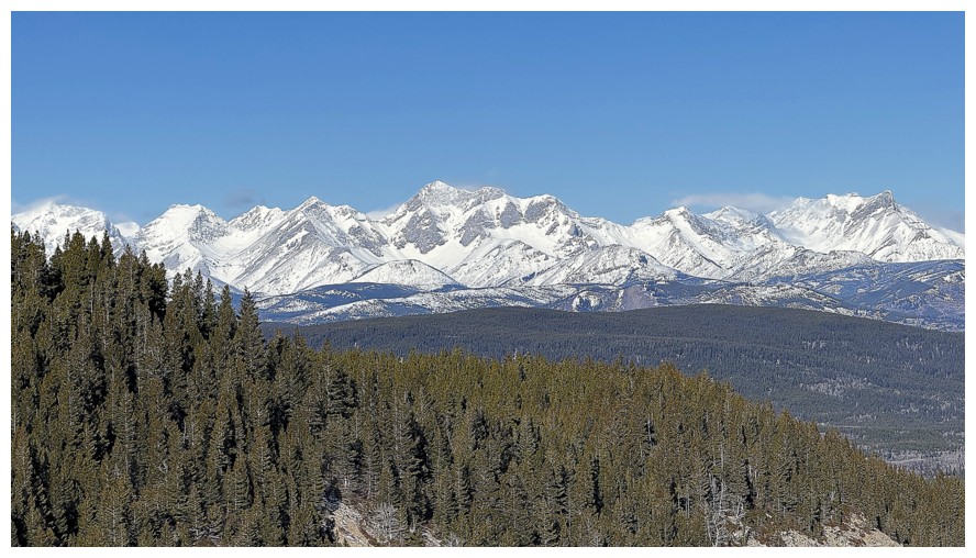
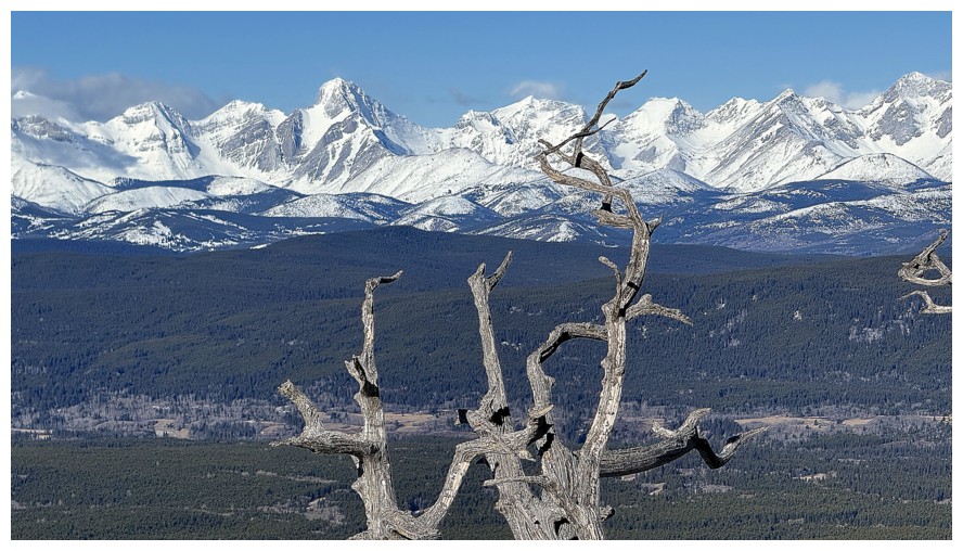
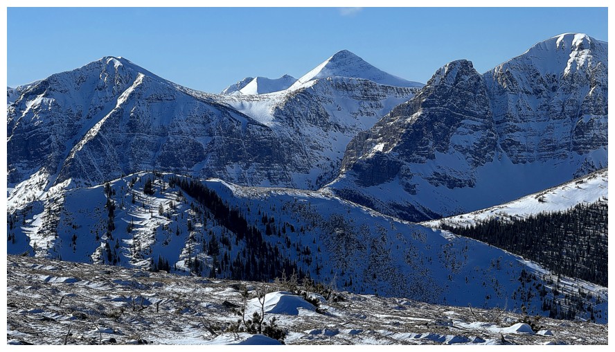
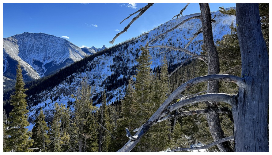
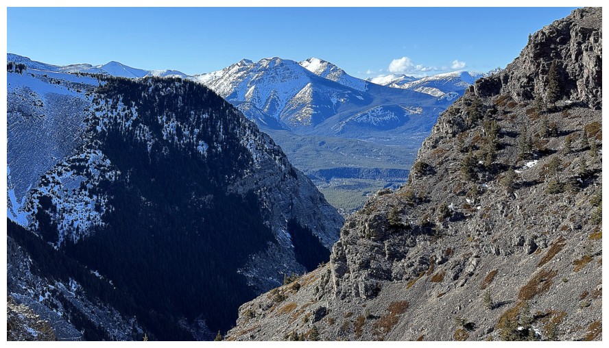
Peaks of the Flathead Range, including Ptolemy SE5 in the centre
Crowsnest Mountain
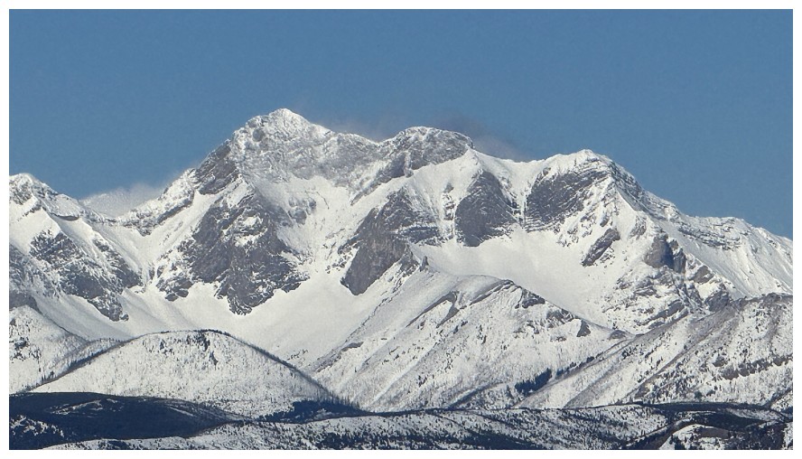
Close-up of SE5
Not done with the ice encounters yet
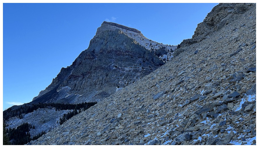
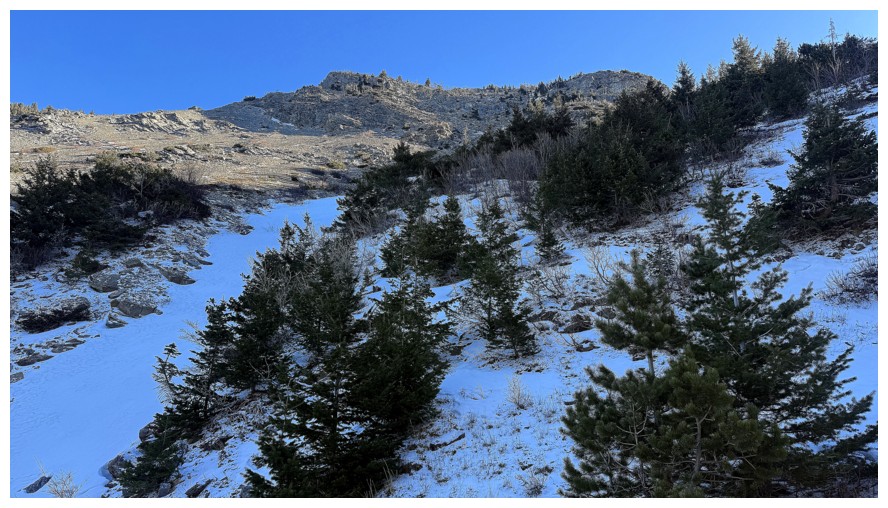
Approaching the more interesting upper slopes
More of the north ridge of Whistler
The Whistler ridge further south
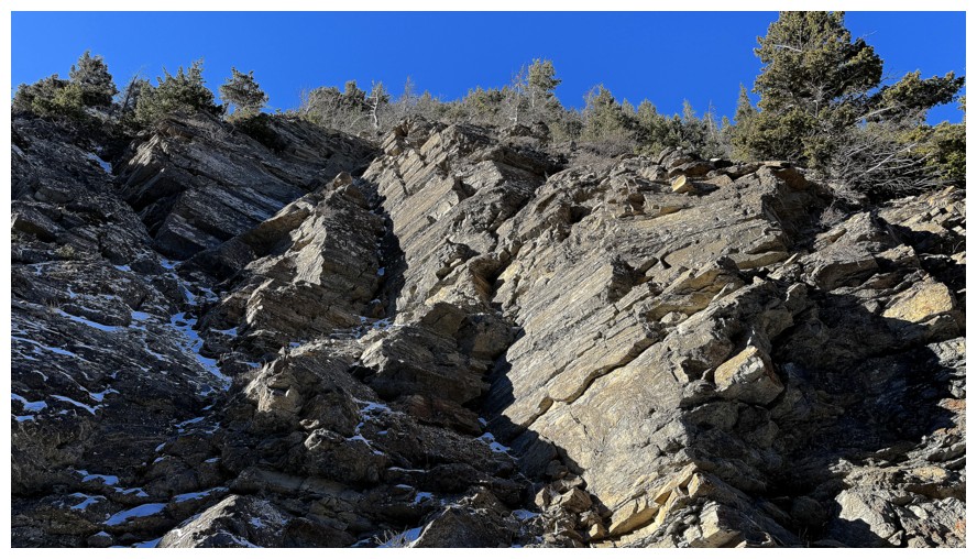
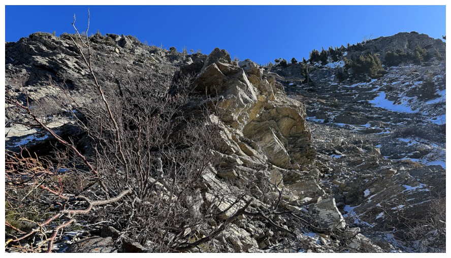
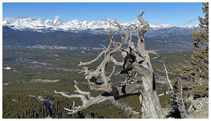
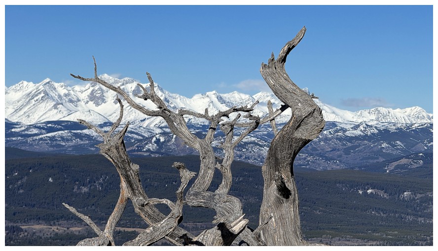
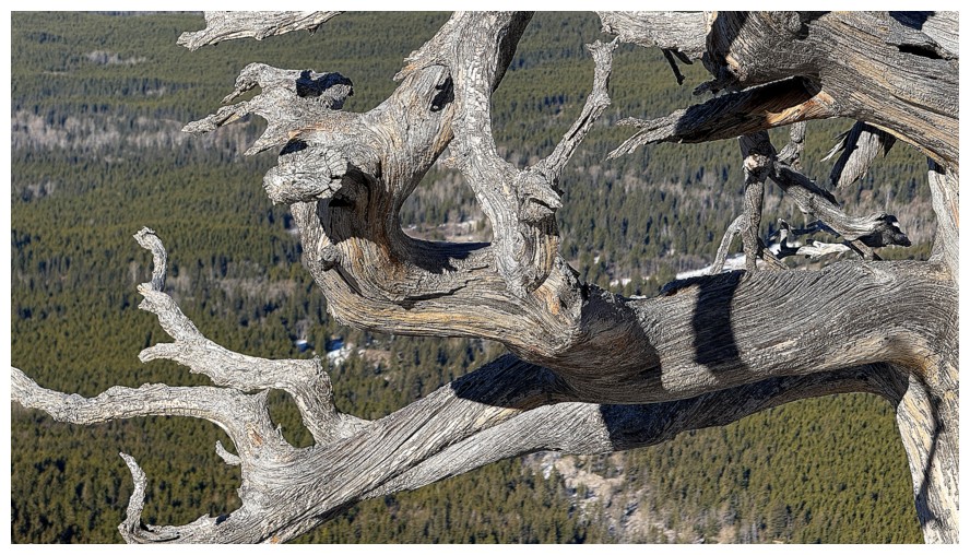
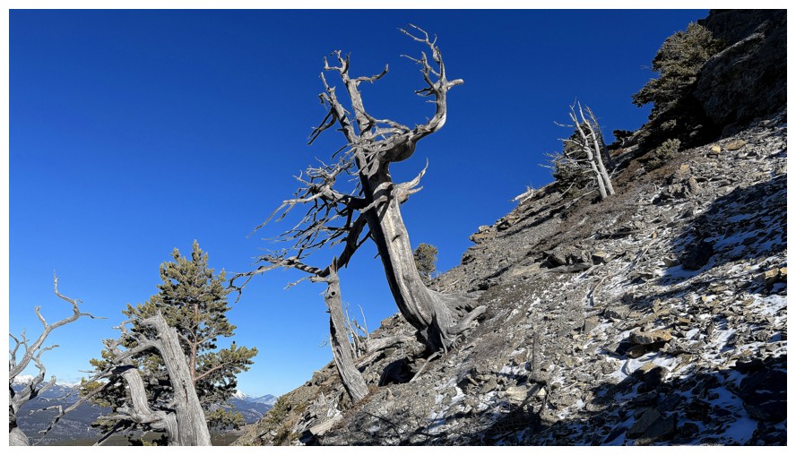
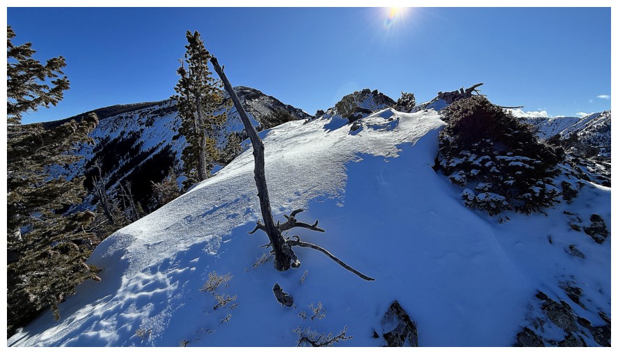
The upper slopes feature lots of blocky, colourful rock and fascinating dead trees everywhere
...and the odd live one
Dead is way cooler though!
Some nice scrambling ahead
Another cool tree and view
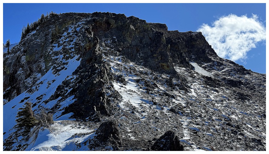
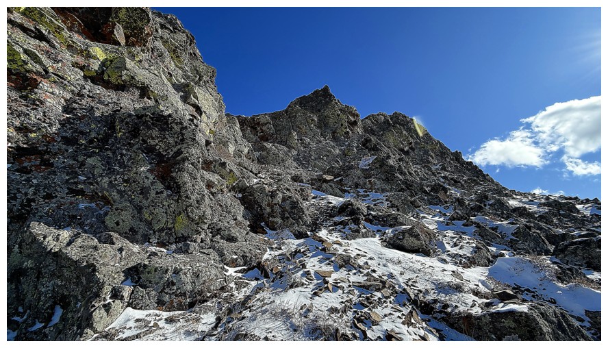
The last obstacle before reaching the ridge
Almost to the west ridge of Table Top's northwest ridge
Most of the route up the north ridge of Whistler is now visible
The northwest ridge of the west ridge of Table Top
The other side of the northwest ridge. The two Whistable peaks at the right.
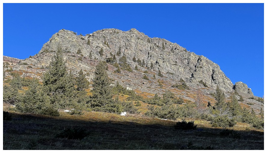
A highpoint on the northwest ridge that I unfortunately had to bypass because of time constraints
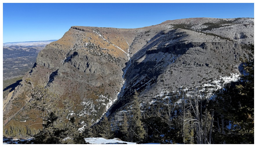
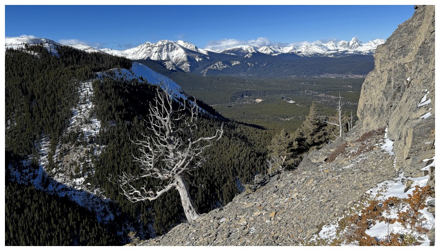
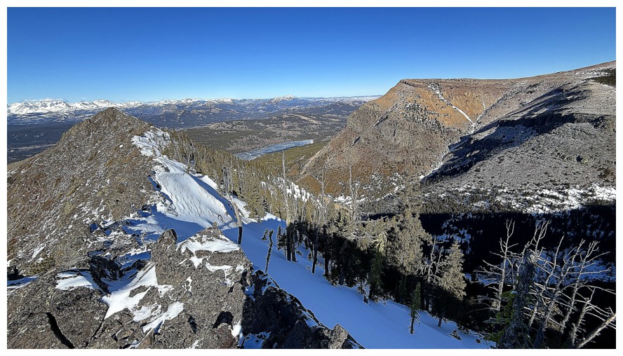
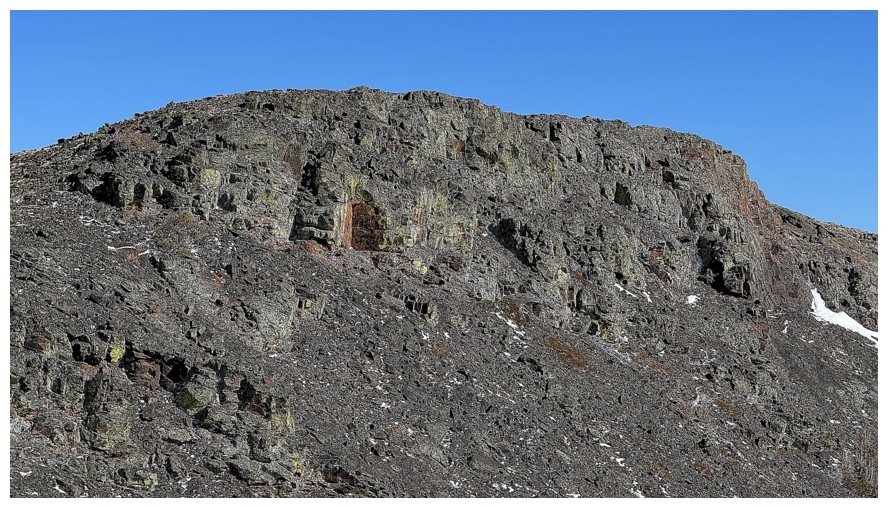
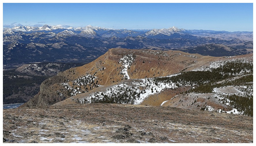
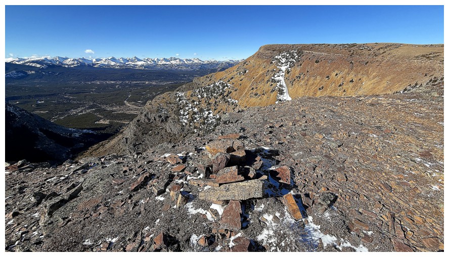
Table Mountain's famous Western Plateau (not an official name), where all the vertiginous views down the north face reside
On the northwest ridge looking northwest...
...looking southeast towards Table Top
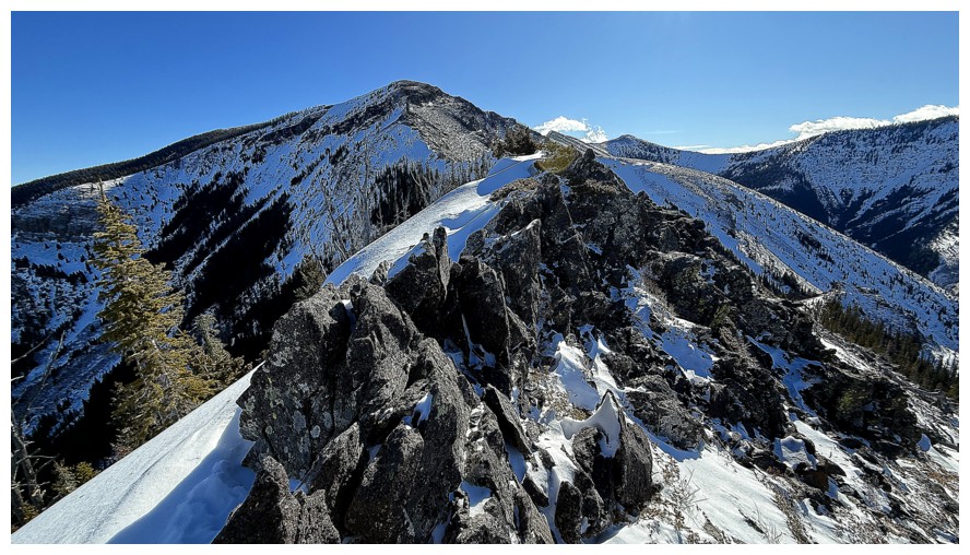
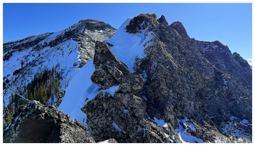
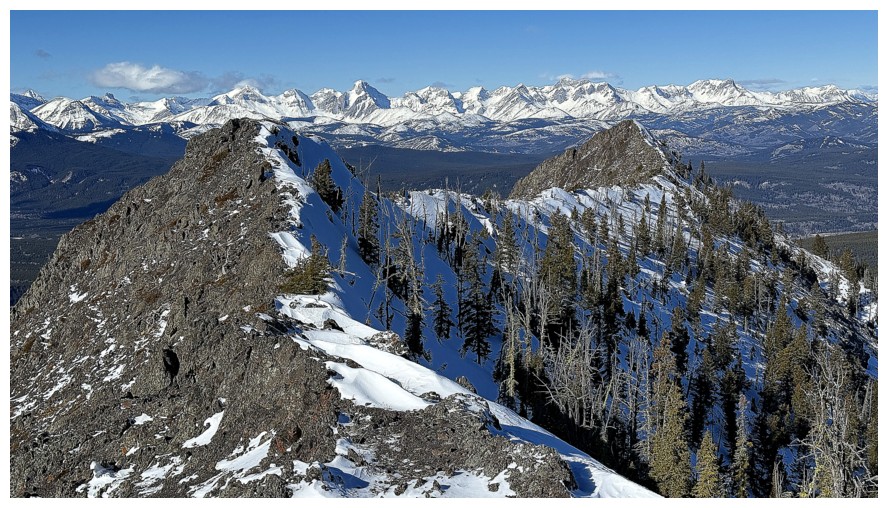
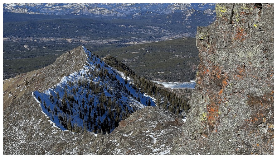
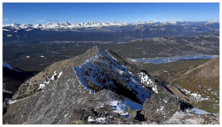
The ridgewalk to Table Top is very enjoyable. Only the false summit is visible at this point.
So are the view towards the Western Plateau (WP)
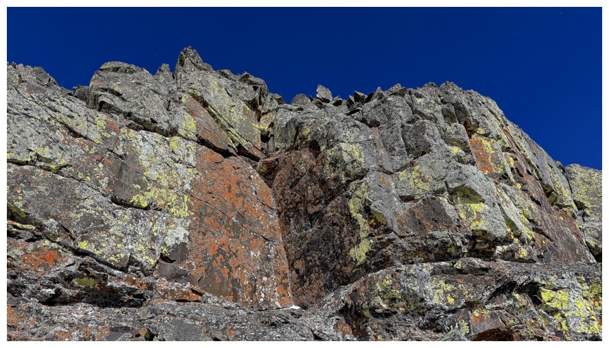
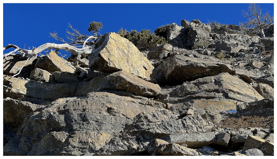
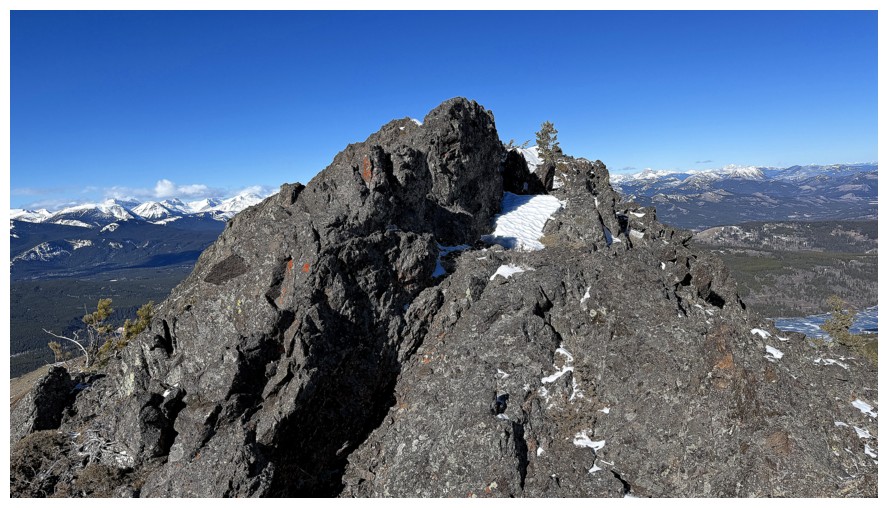
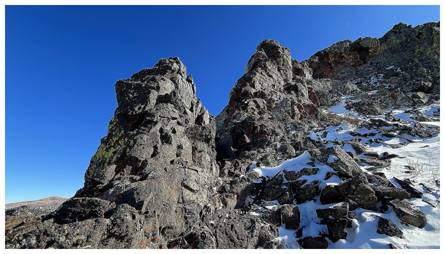
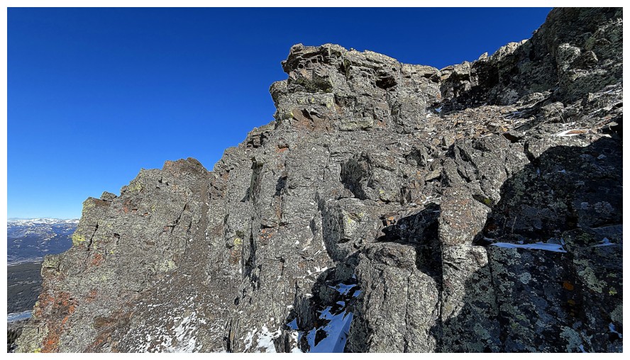
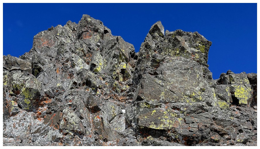
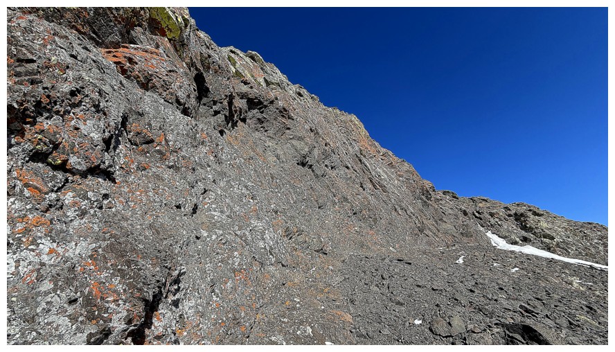
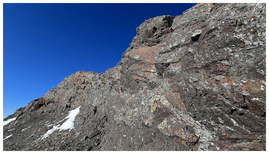
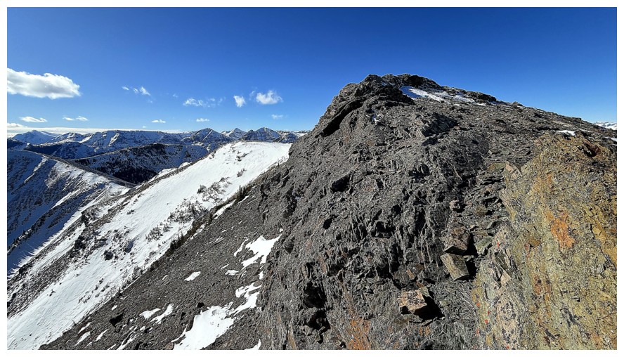
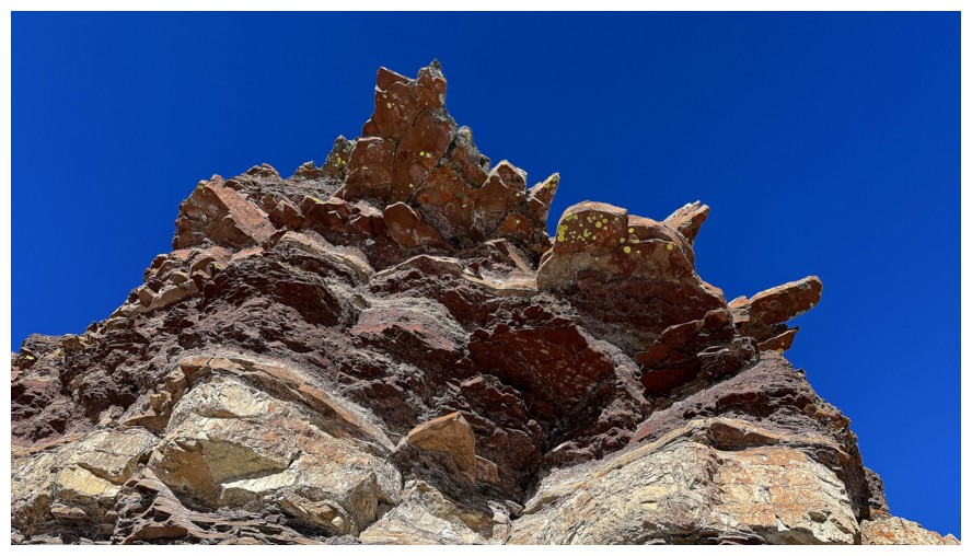
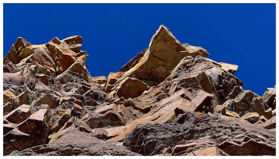
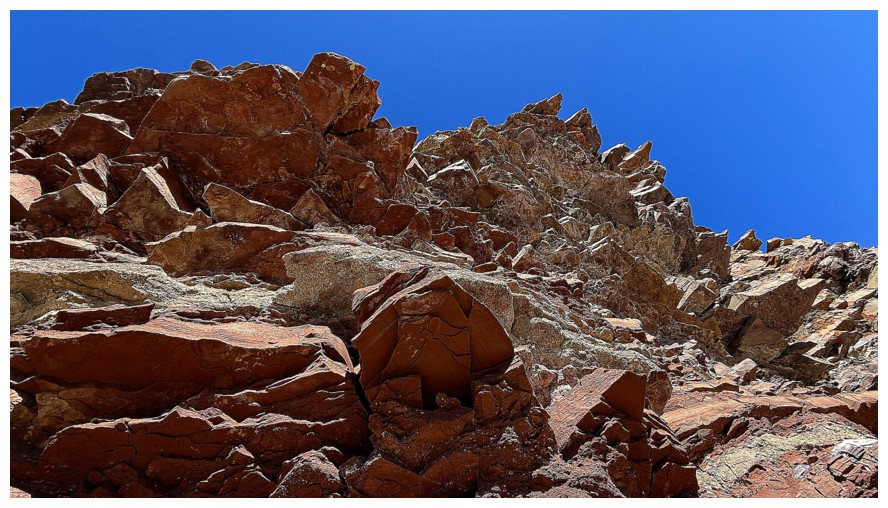
Much of the ridge is comprised of blocky, igneous rock with some lichen
Super cool fin of rock below me
The enjoyment continues, up and over small highpoints
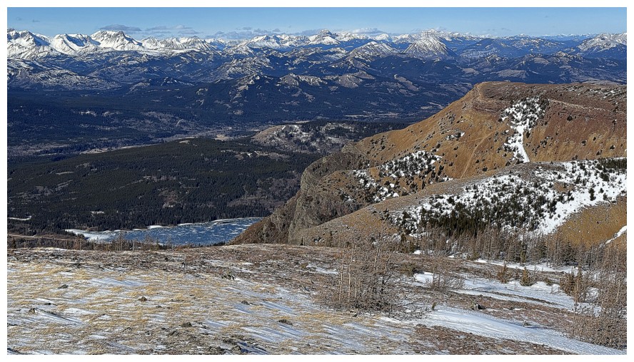
First decent view of Beaver Mines Lake
Another minor highpoint behind me
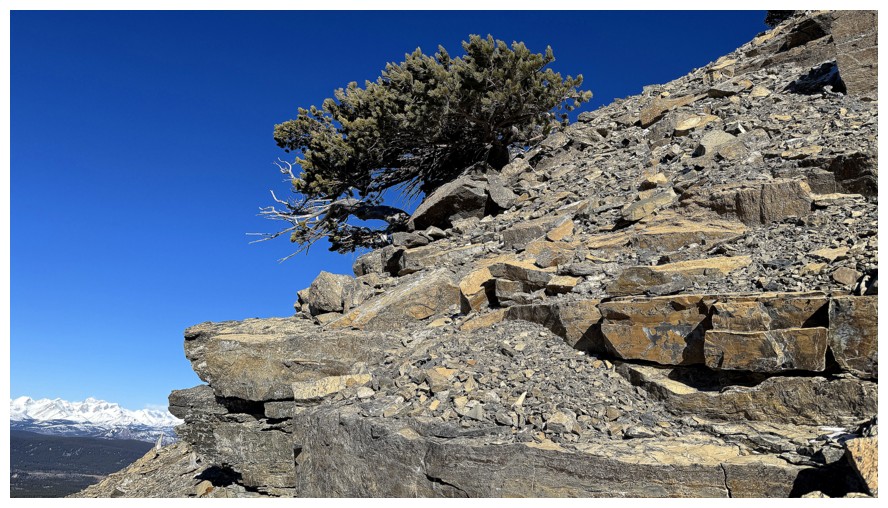
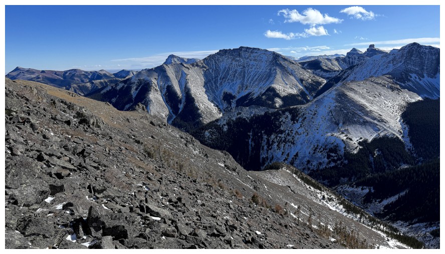
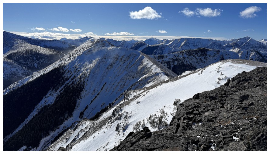
The aesthetic beauty of the northwest ridge is becoming more apparent
The northwest highpoint of the ridge
Close-up, with peaks of the Flathead Range
To say I became obsessed with the ridge behind me would be an understatement!
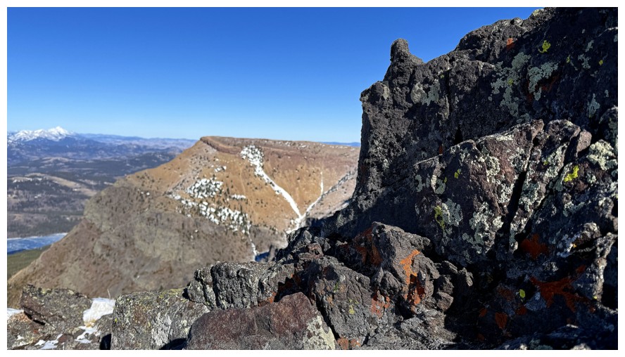
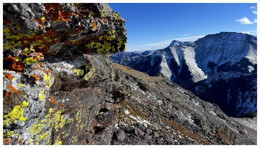
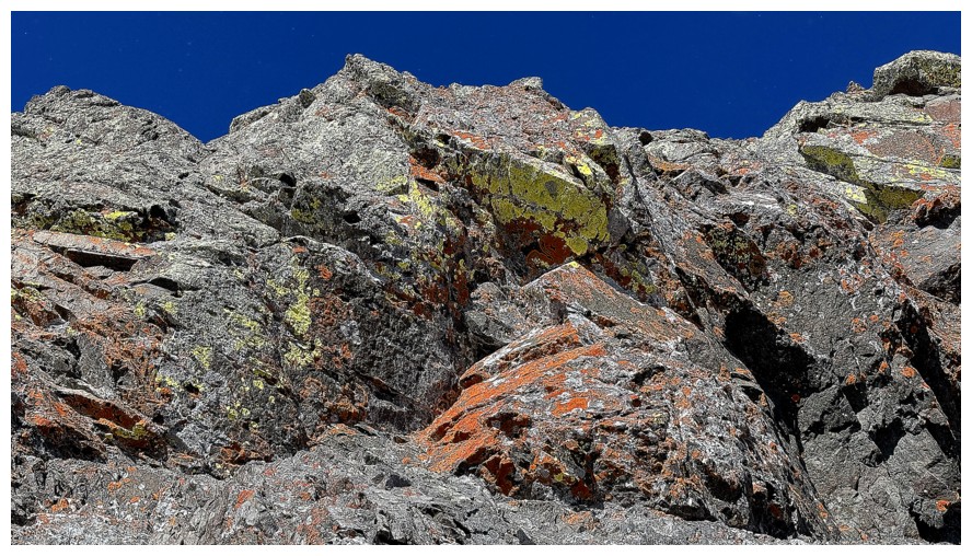
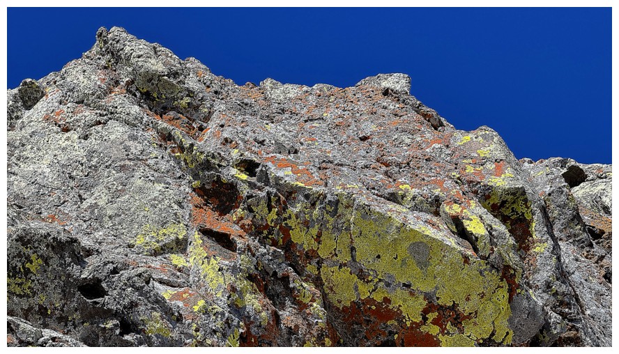
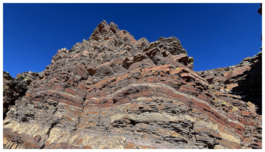
Closer look at the insanely cool rock band that lines the west side of the WP
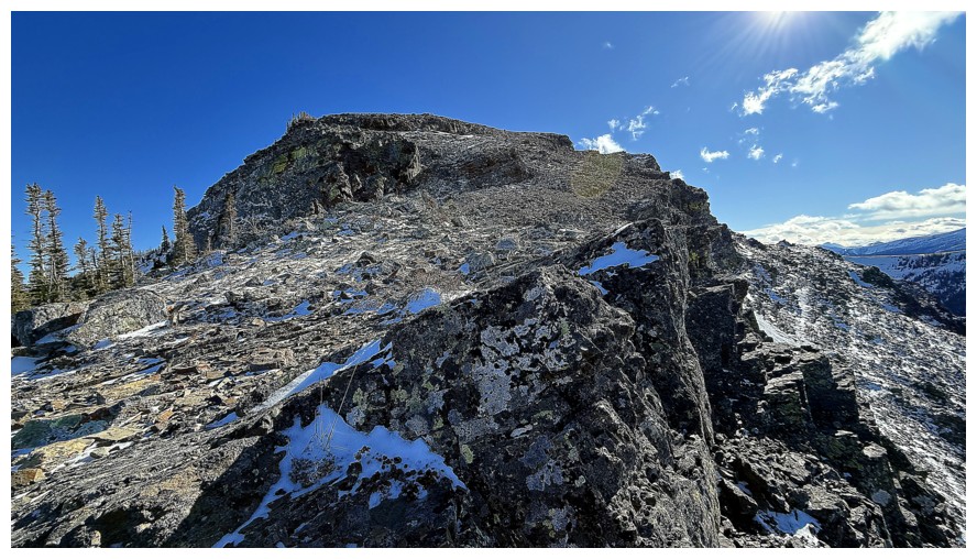
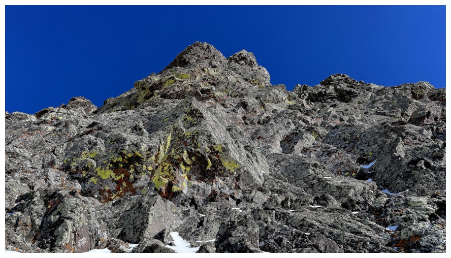
The terrain gets a little more serious near the false summit of Table Top but the tough stuff is easily circumvented
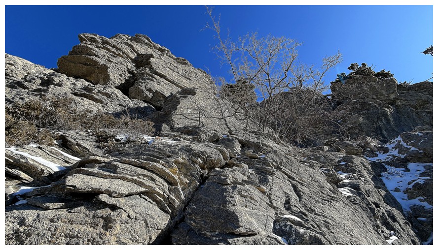
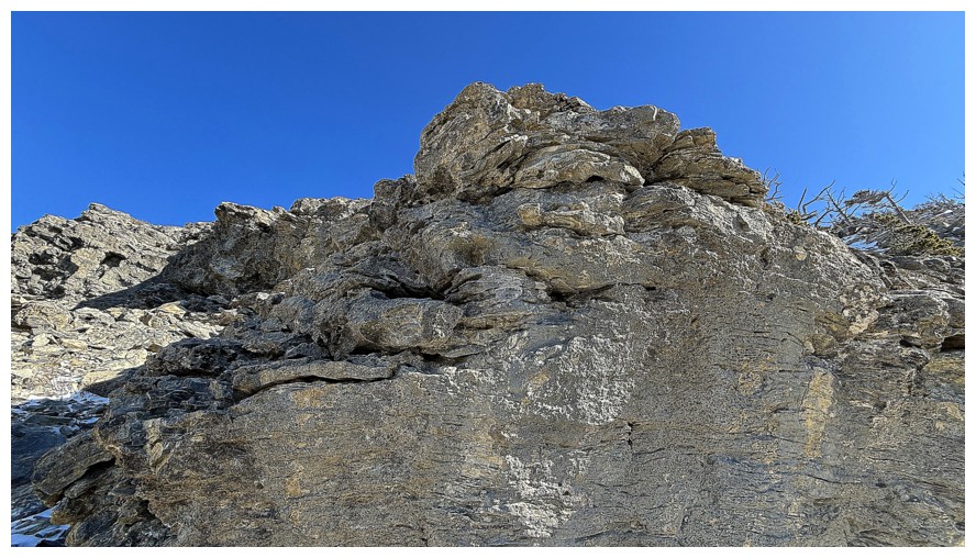
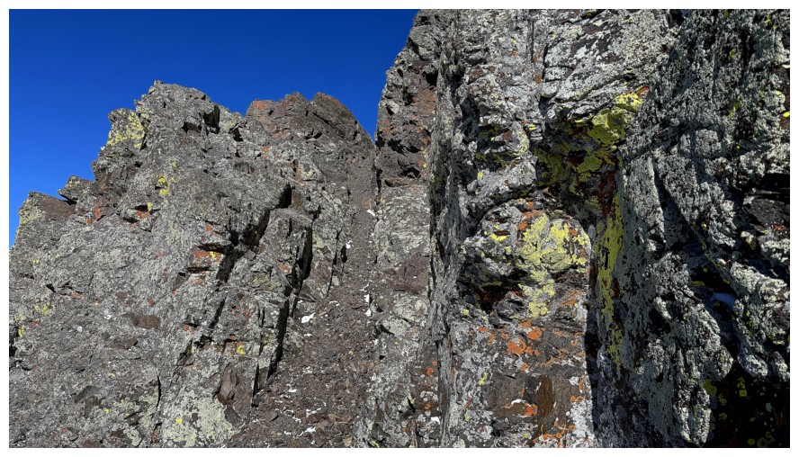
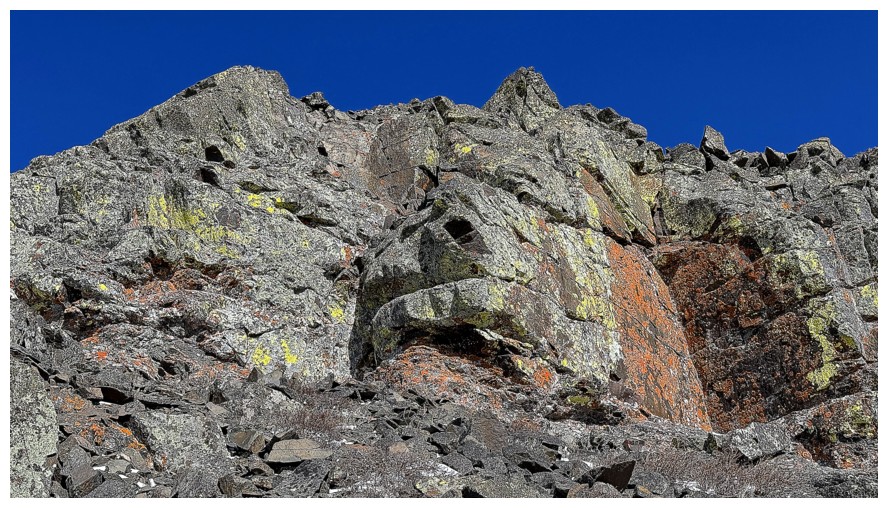
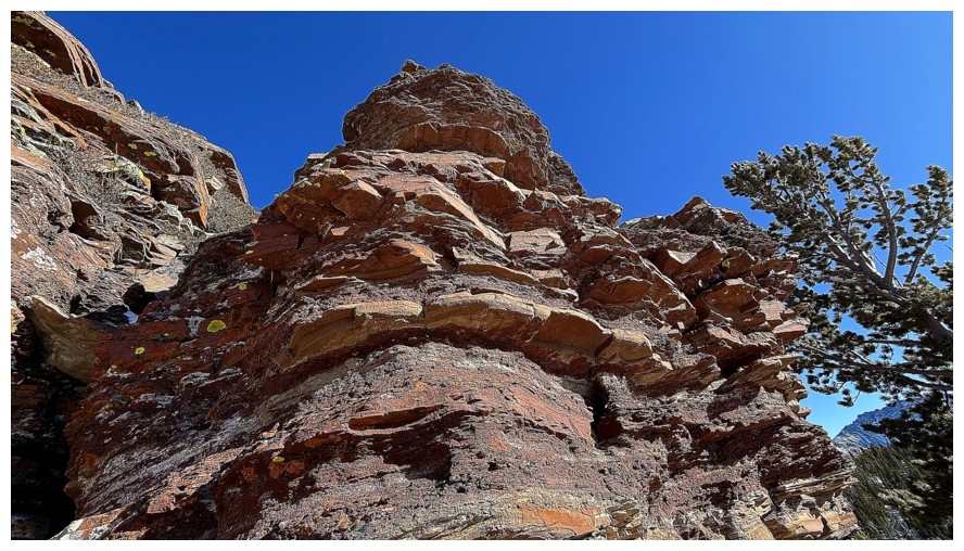
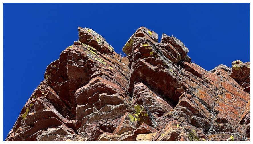
The rock scenery also becomes more striking
There's a sneaky little route up to the ridge near the left side
That ridge again!
The sneaky route
Back on the ridge
Last look at the northwest ridge and the lake
The route ahead, but I'm not going that way
Back down on slopes below the ridge, so I don't miss any of the terrific rock scenery
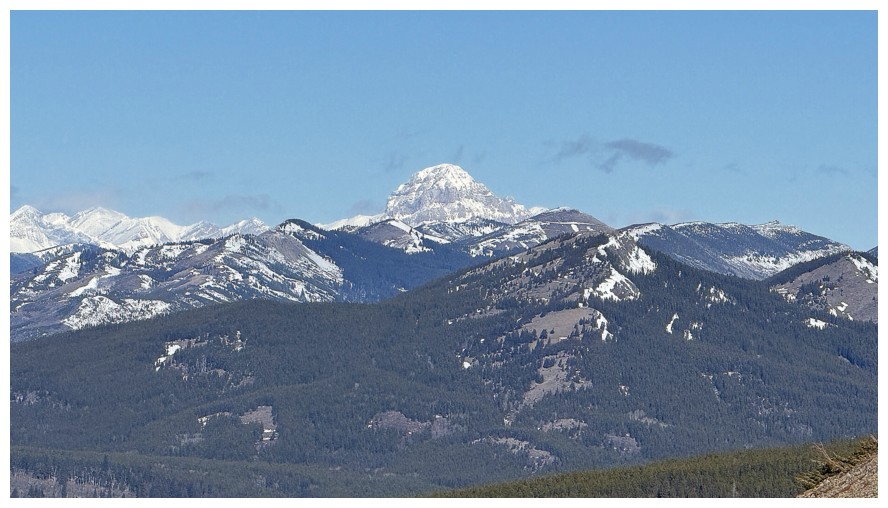
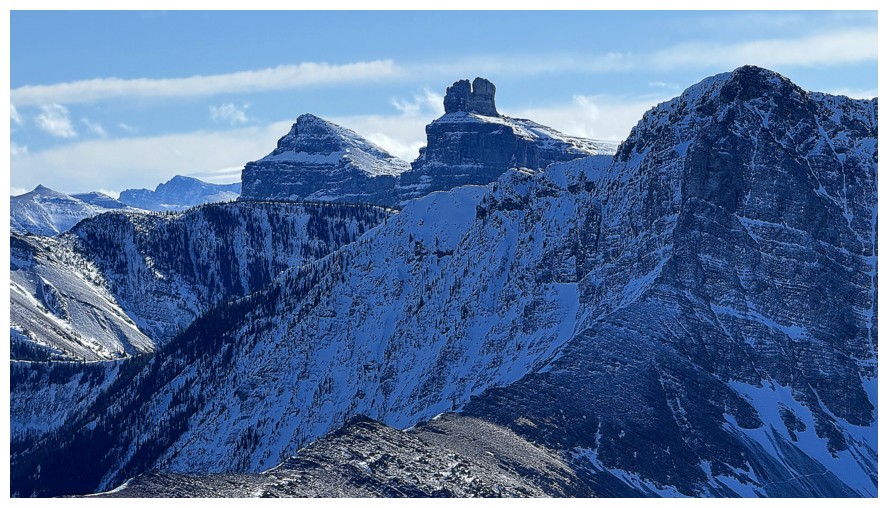
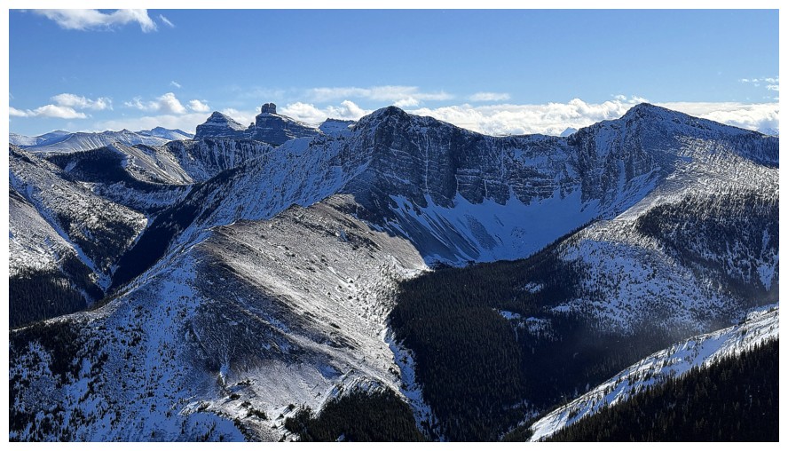
St. Eloi SW1 (left) and St. Eloi Mountain
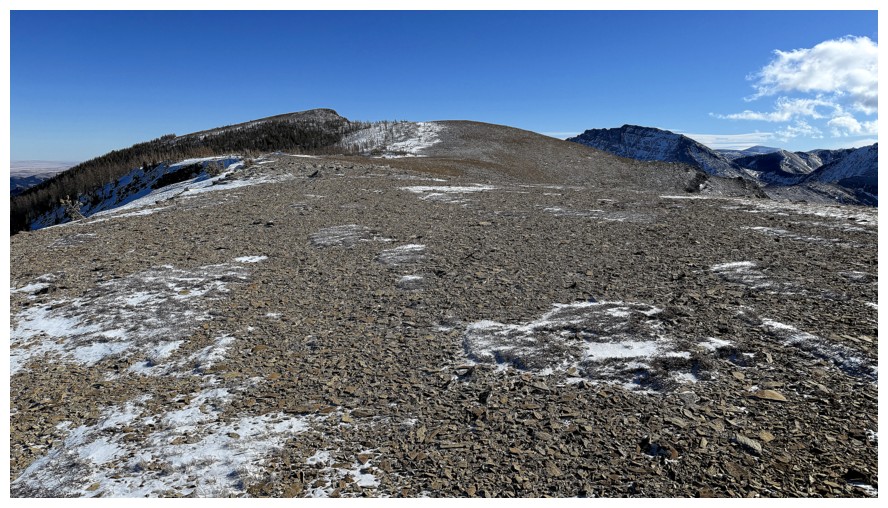
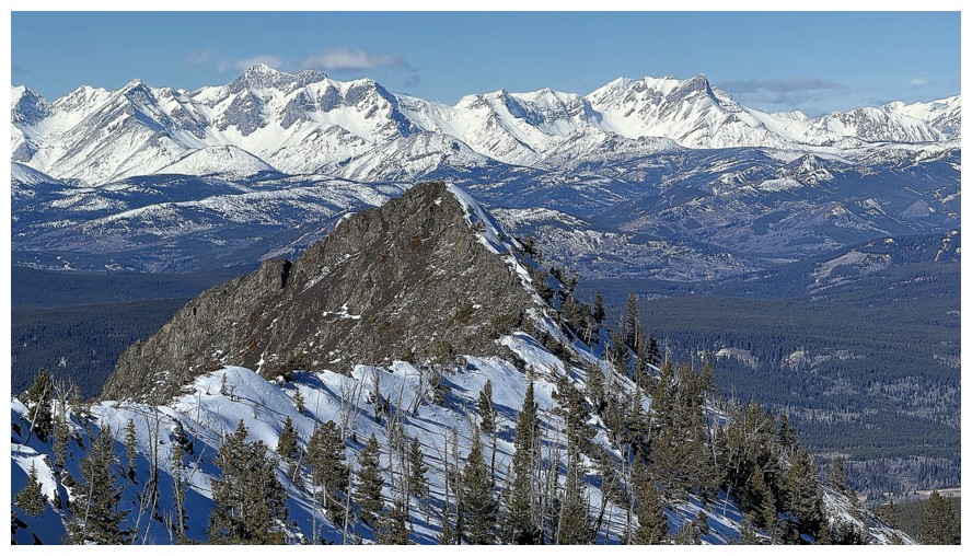
On the now very wide ridge and finally heading towards the summit at the left
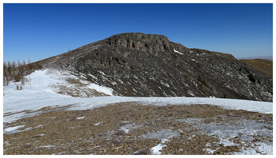
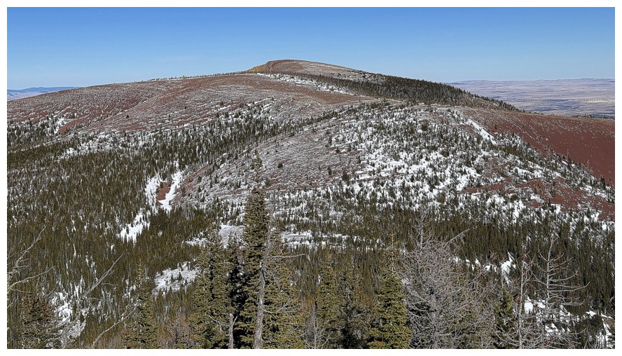
First look at the actual summit of Table Mountain
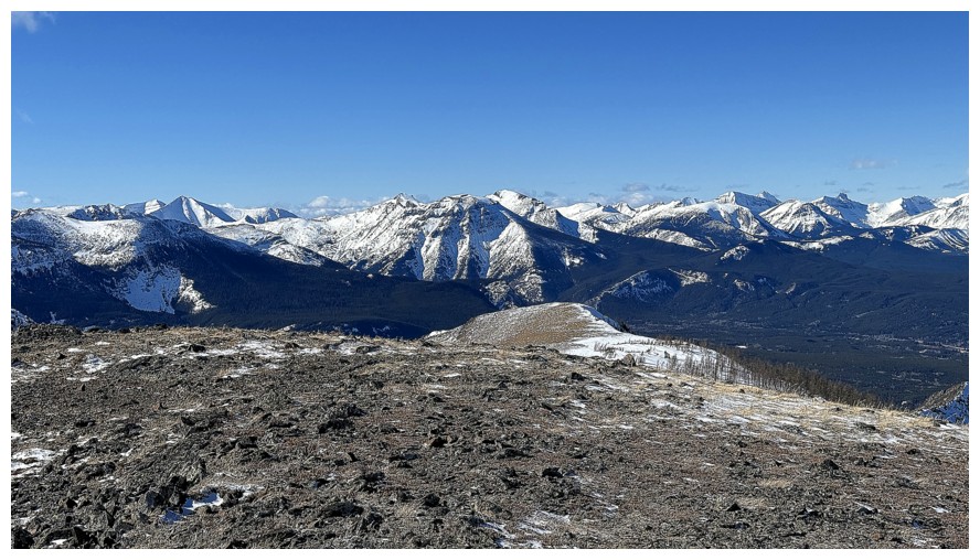
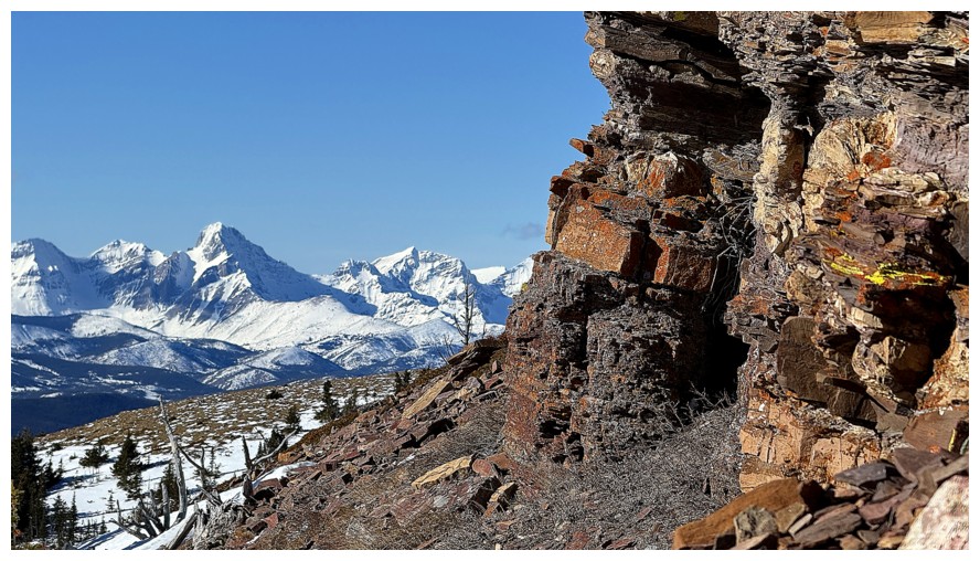
The striking Flatheads again
Mount Haig peaks over Barnaby Ridge
Windsor Mountain and Castle Peak
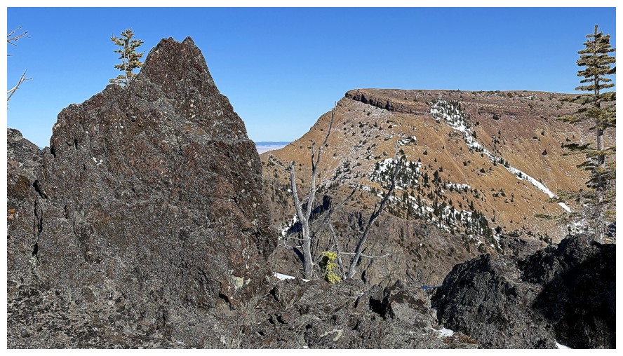
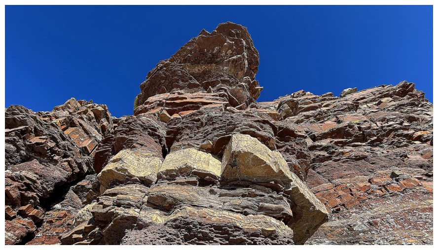
The summit block of Table Top
Victoria Peak peeks over the east ridge of Gladstone
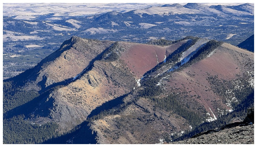
Many of the summits of the Prairie Bluff massif, with the true summit at the far left
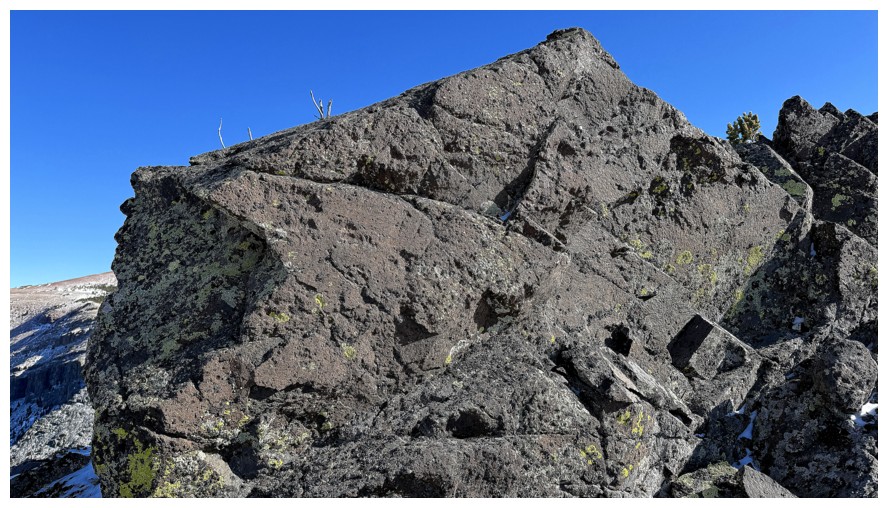
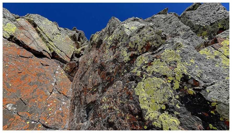
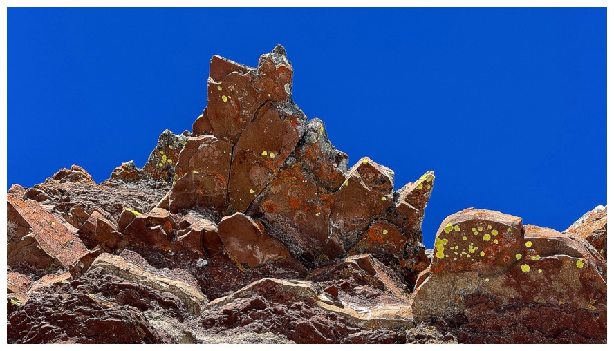
Uh oh! Spotted some lichen-covered rock on the southwest side of the summit block and I HAVE to see it!
The warm-up
The beautiful peaks of the East Castle
Same as above, but more to the west
The main event
Might as well circle around the entire south side at this point
 Back to admiring the rock and lichen
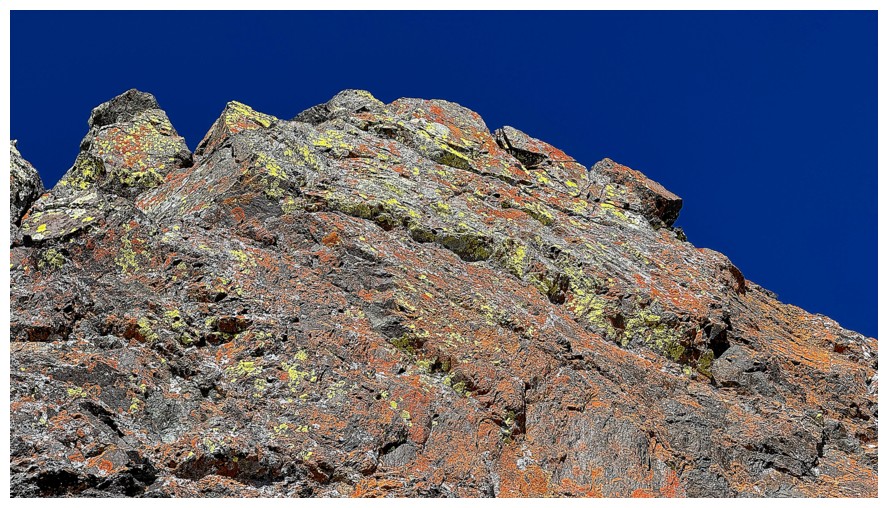
The huge swath of red argillite on the south side of Table Mountain is likewise alluring
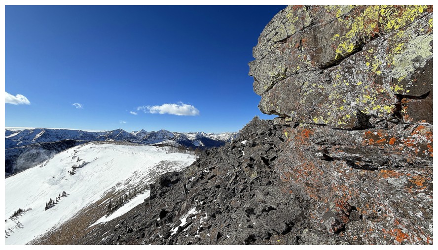
The summit
Summit views
North
Northwest
West
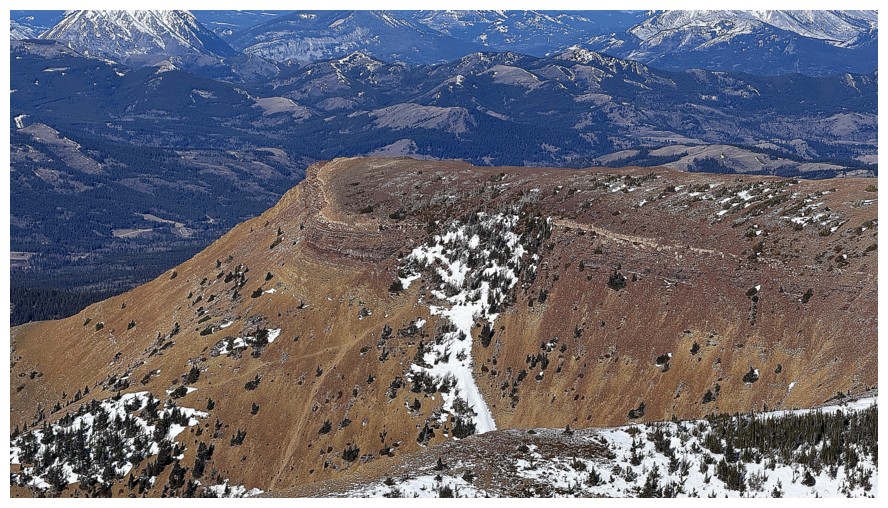
Close-up of the WP and the trails leading up to it
The northwest side of Gladstone's Toe
Larry Mountain (centre) and Frankie Peak (right)
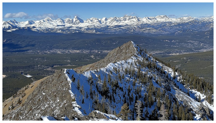
The continuation of the ridge heading southwest towards the Whistable Peaks
Time to make haste and get back via the shortest route possible
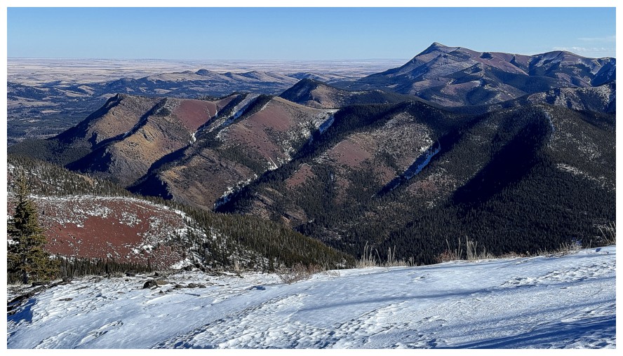
Gladstone's Toe, Whitney Creek Mountain, and Prairie Bluff
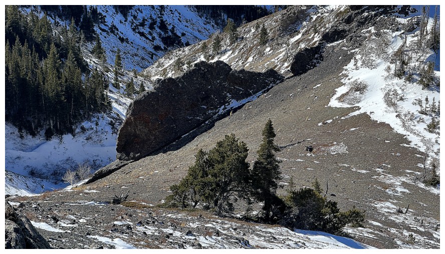
The most reliable route back down would involve descending to the col,
and then trudging up to the ridge in front, where the trail sits, but that's not what occurred
Looking back to the first part of the descent
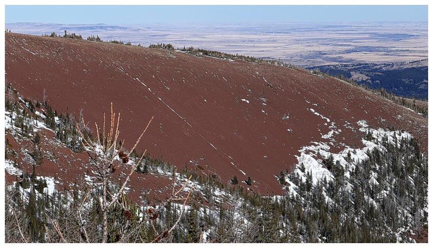
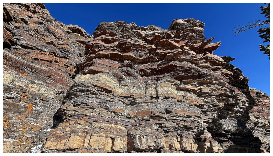
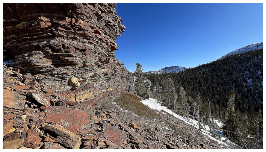
The alluring argillite
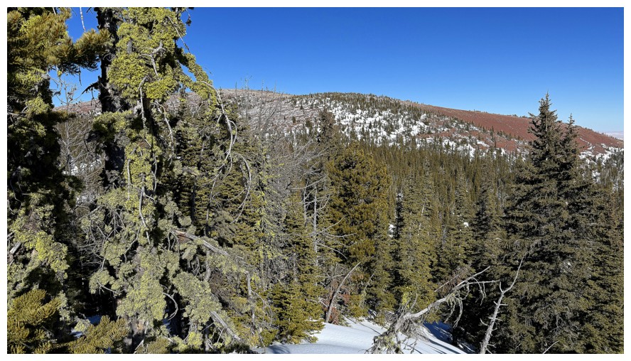
Light forest to go through with some cool mossy trees
Glimpse of Gladstone, Windsor, and Castle before I detour over to find that rock band
Sometime later arriving at the incredible rock band. Checking this out
will jeopardize my timeline, but zipping right by it is not an option!
The checking out
Yet another great example of why being below a rock band is often better than being atop it
Looking back to Table Top
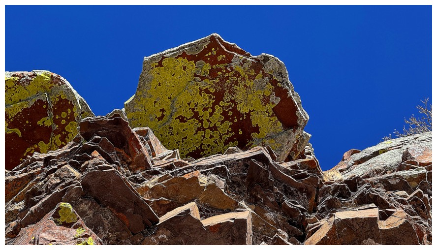
My favourite part of the band
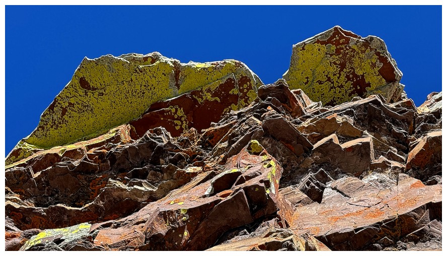
Ditto
Sometime later (again) traversing over to the next ridge. Another
descent into a gully and ascent up the other side was required.
Ascending the other side and looking over to some of the northwest ridge of Table Top and summit
There's a cairn atop the ridge - always a good sign
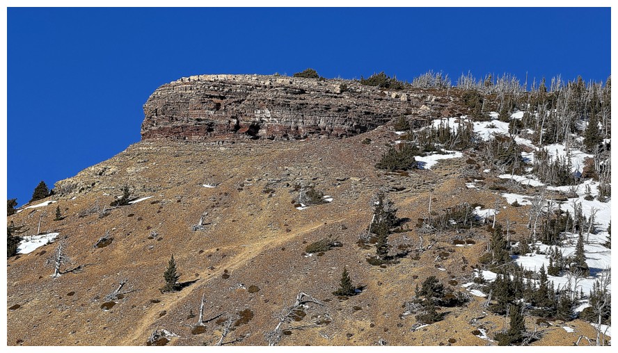
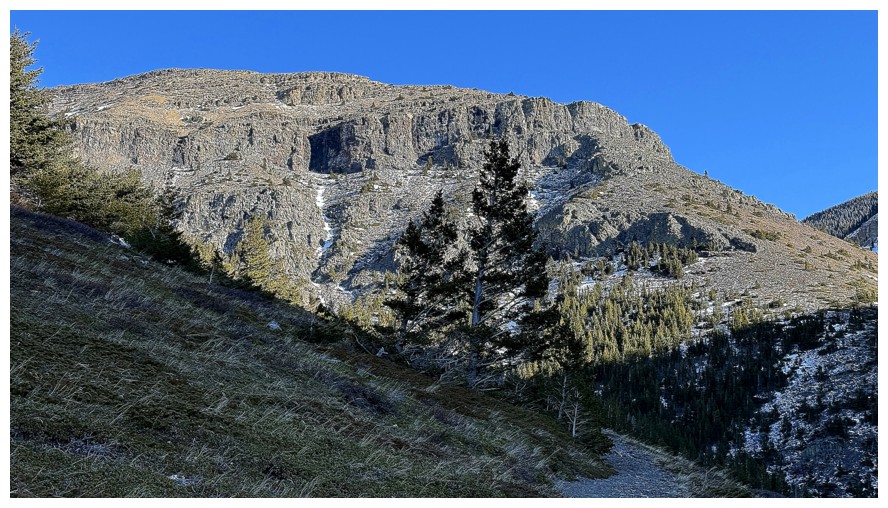
The rock band of the WP will provide my next fixation
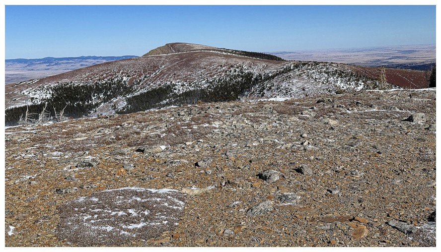
Descending easy slopes towards the main trail
The views to the west are disappearing
A big rock band that I'm glad I inadvertently circumvented
Several ice flows are encountered on descent
Down to the gully where the main trail is
Staying in the drainage is possible but there's lots of ice on this day
Passing by more intriguing rock bands
My descent route came right down the middle
Another awesome ice feature
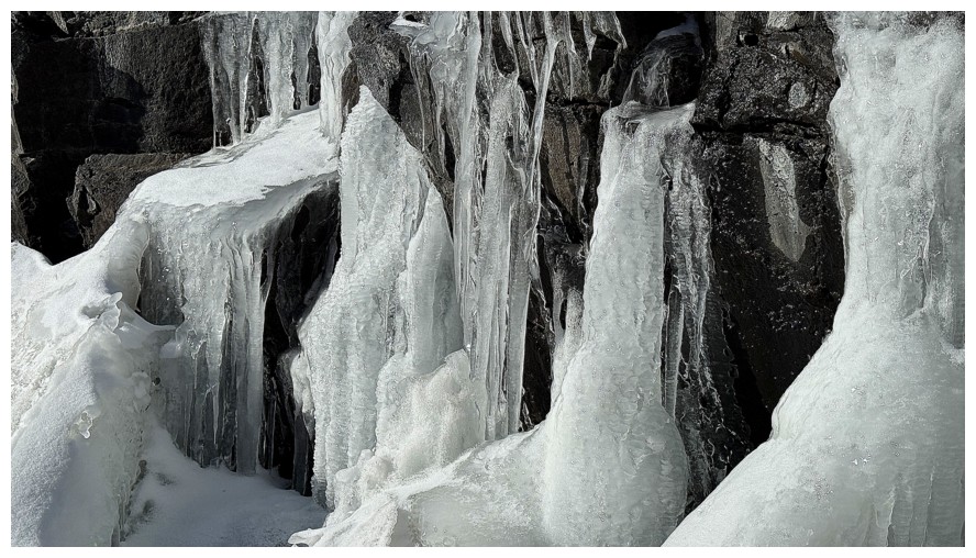
Close-up
Same as above from a different angle
Enjoying more lichen-covered rock on the side of the trail
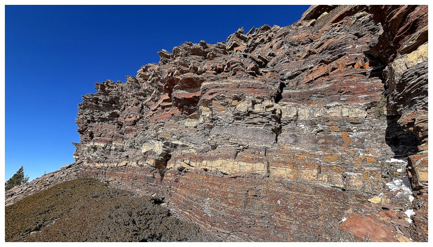
And all the massive walls of rock above
The northern section of the northwest ridge
On the super easy and scenic section of the trail
Looking for other potential routes for future trips
Being up there would be very cool
There too
The rock band that lines the ridge I was on half an hour earlier
Both of the rock bands above the trail. One of the best routes up and down Table goes right between them.
The rock band of the WP gets the last say
The End
LOG